Difference between revisions of "Ceira River Bridge"
From HighestBridges.com
Jump to navigationJump to search (Created page with '<div style="font-size: 25px; text-align: center;"> Ceira River Bridge<br /> Ponte Rio Ceira<br /> Coimbra, Portugal<br /> 459 feet high / 140 meters high<br /> 820 foot span / 25…') |
|||
| Line 10: | Line 10: | ||
| − | + | At 250 meters the Ponte Ceira River Brige is the longest span high level beam bridge ever built in Portugal. The giant crossing marks the northern terminus of the A13 motorway at the Southern entrance to the city of Coimbra which is now connected to Tomar to the south. | |
The 930 meter long Ceira River Bridge has a width of 26.4 meters. The north side of the viaduct is composed of 9 approach spans. | The 930 meter long Ceira River Bridge has a width of 26.4 meters. The north side of the viaduct is composed of 9 approach spans. | ||
Revision as of 23:32, 31 January 2017
Ceira River Bridge
Ponte Rio Ceira
Coimbra, Portugal
459 feet high / 140 meters high
820 foot span / 250 meter span
2014
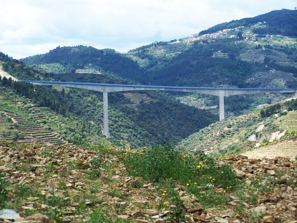
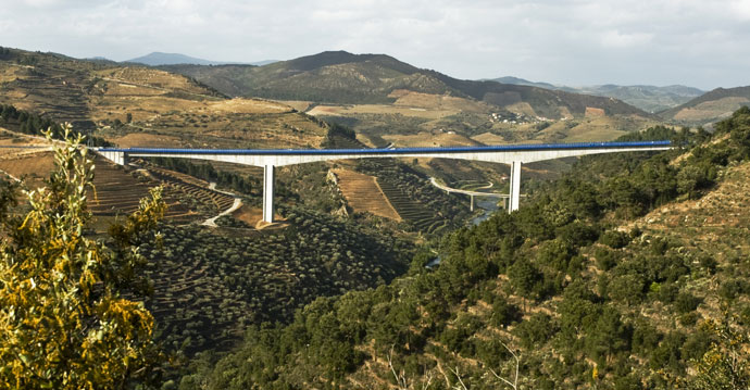
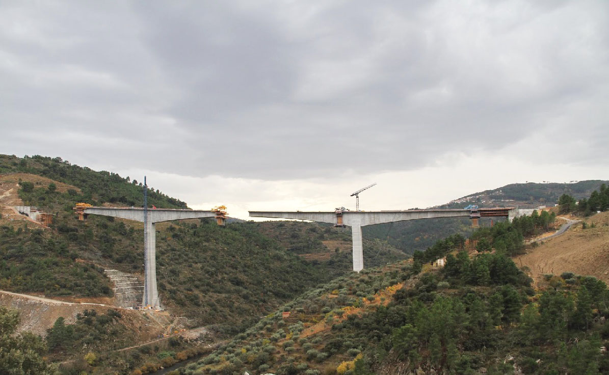
At 250 meters the Ponte Ceira River Brige is the longest span high level beam bridge ever built in Portugal. The giant crossing marks the northern terminus of the A13 motorway at the Southern entrance to the city of Coimbra which is now connected to Tomar to the south.
The 930 meter long Ceira River Bridge has a width of 26.4 meters. The north side of the viaduct is composed of 9 approach spans.
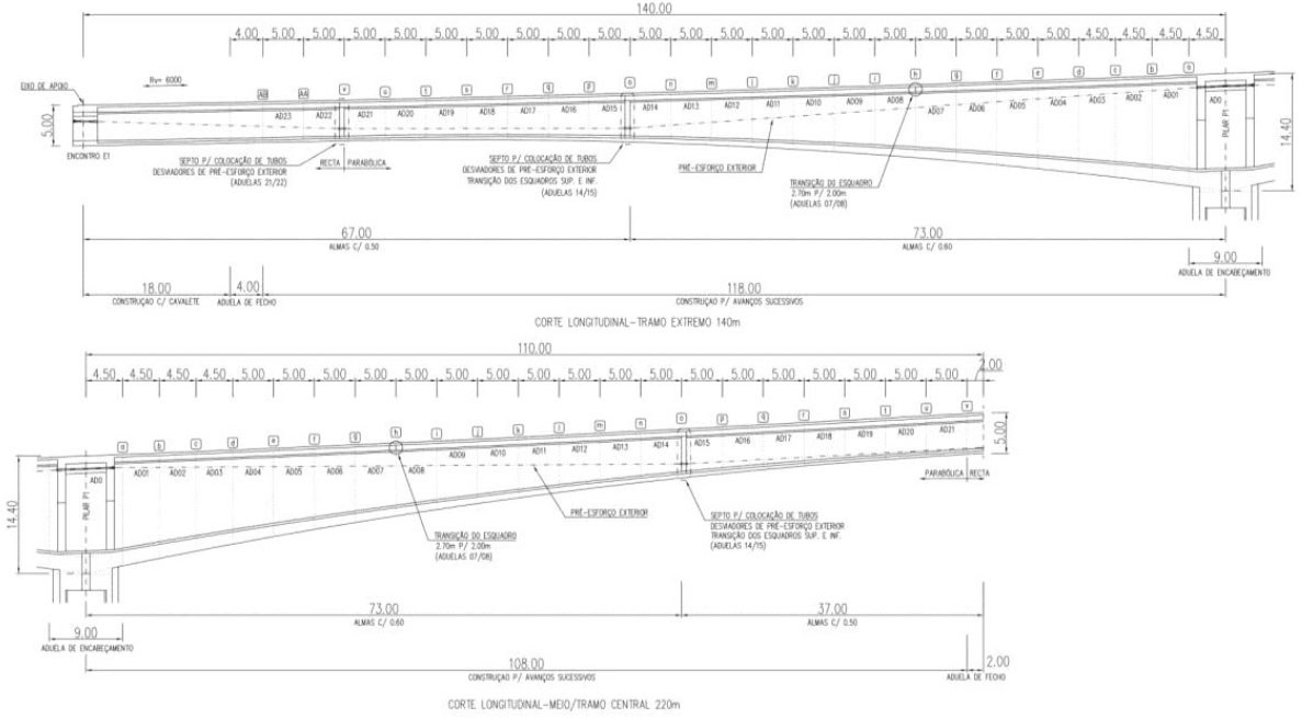
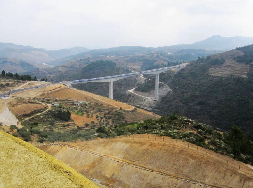
Tua Bridge beam diagram.
Image by Flexy Colors.
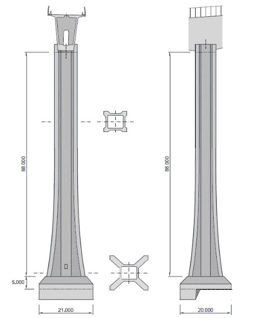
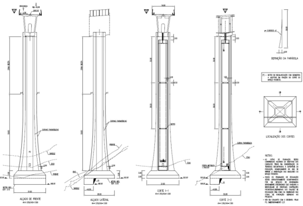
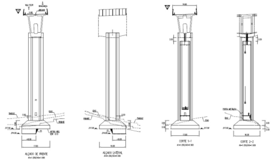
Tua Bridge pier diagram.
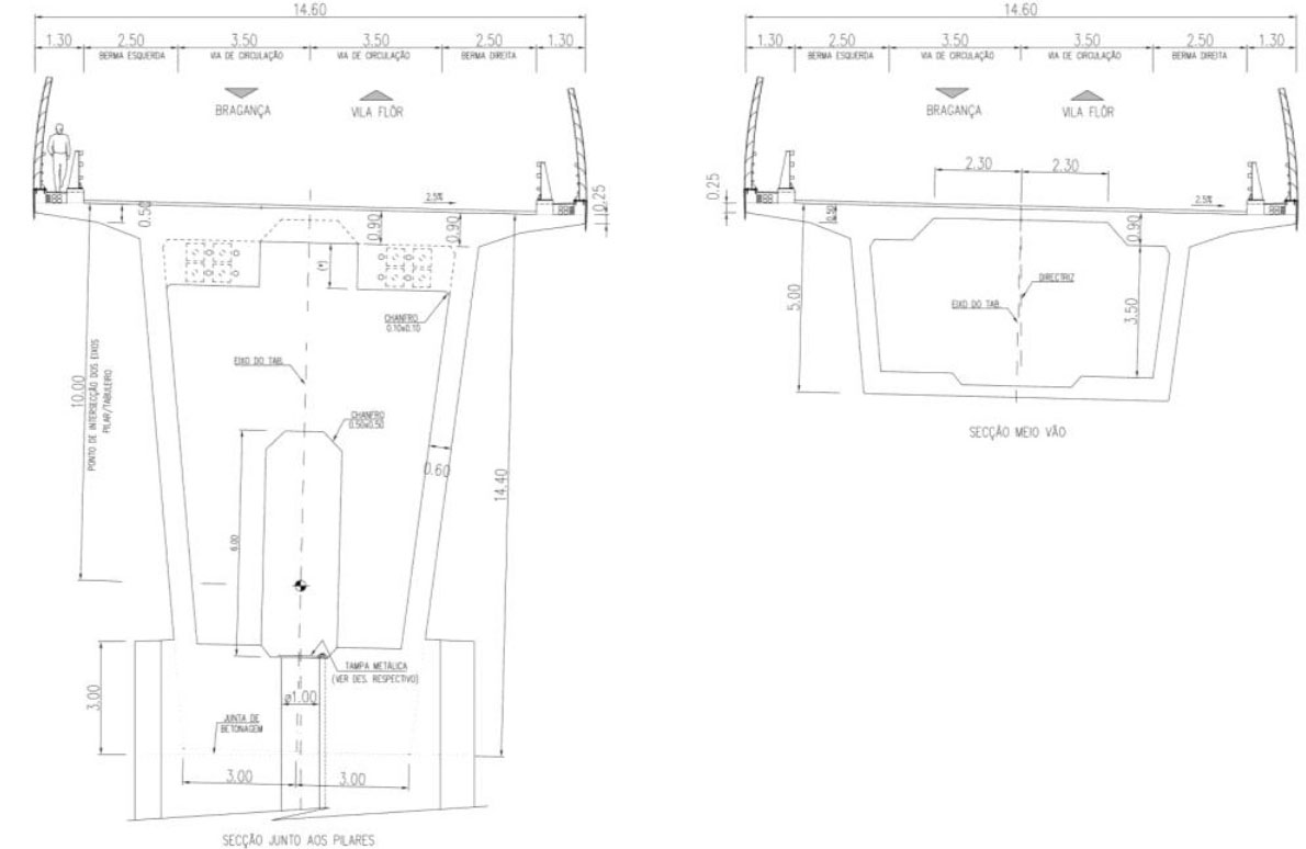
Tua River Bridge cross section.
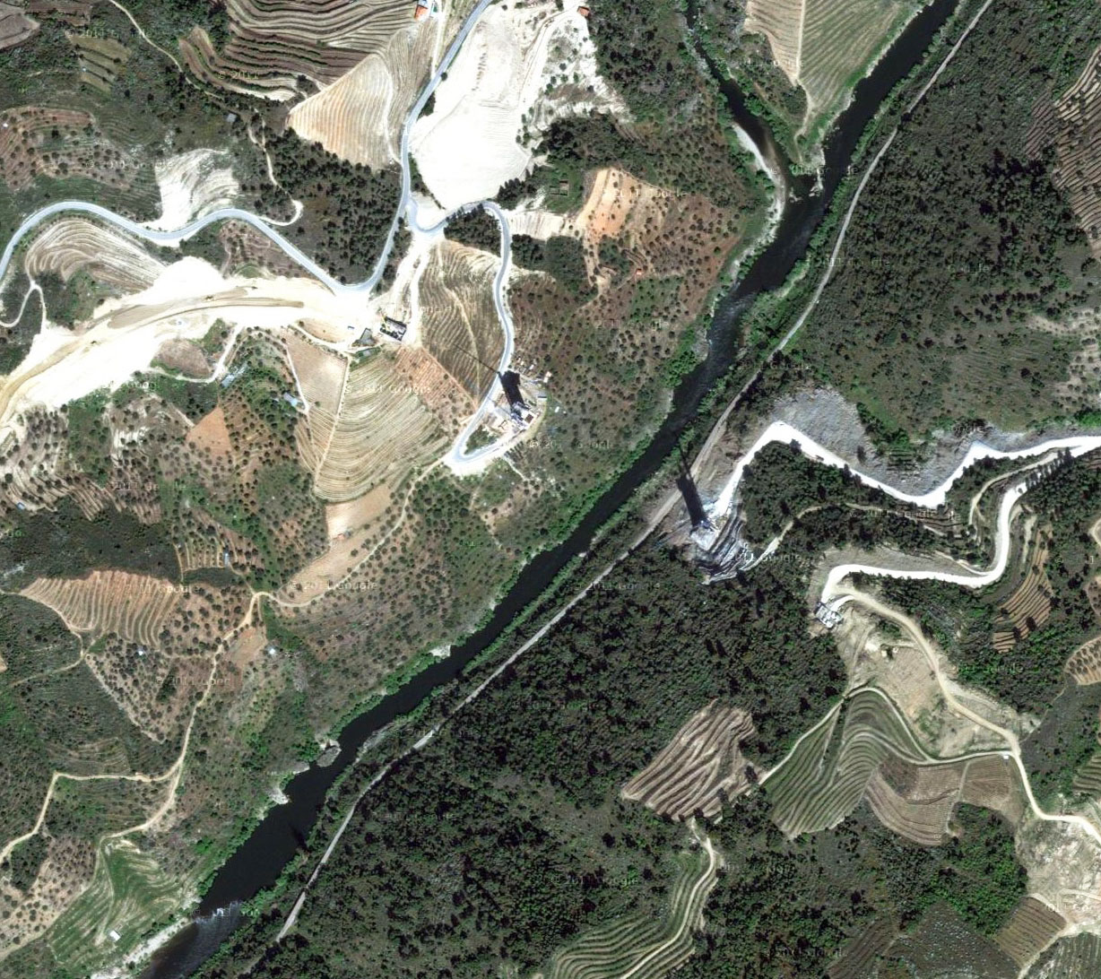
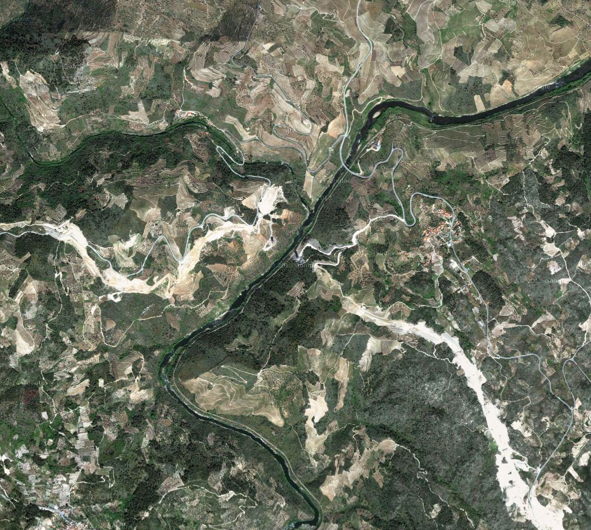
Tua River Bridge satellite image.
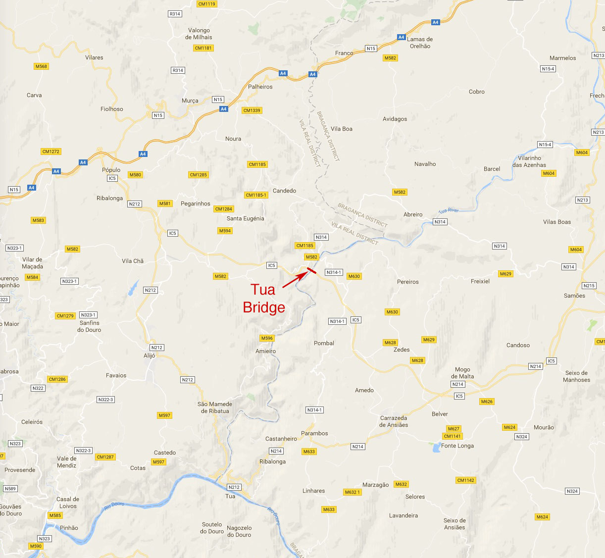
Tua River Bridge location map.
