File:10CailleAerial2.jpg
From HighestBridges.com
Jump to navigationJump to search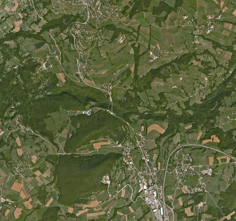
Size of this preview: 641 × 600 pixels. Other resolutions: 257 × 240 pixels | 761 × 712 pixels.
Original file (761 × 712 pixels, file size: 167 KB, MIME type: image/jpeg)
Caille Bridge satellite aerial.
File history
Click on a date/time to view the file as it appeared at that time.
| Date/Time | Thumbnail | Dimensions | User | Comment | |
|---|---|---|---|---|---|
| current | 02:08, 4 November 2009 | | 761 × 712 (167 KB) | Sakowski (talk | contribs) | Caille Bridge satellite aerial. |
You cannot overwrite this file.
File usage
The following file is a duplicate of this file (more details):
The following 2 pages use this file: