Difference between revisions of "File:BagaheLocationMap.jpg"
From HighestBridges.com
Jump to navigationJump to search (Bagahe Bridge location map.) |
(uploaded a new version of "File:BagaheLocationMap.jpg": Nashao Bridge satellite image.) |
(No difference)
| |
Latest revision as of 20:08, 24 September 2021
Bagahe Bridge location map.
File history
Click on a date/time to view the file as it appeared at that time.
| Date/Time | Thumbnail | Dimensions | User | Comment | |
|---|---|---|---|---|---|
| current | 20:08, 24 September 2021 | 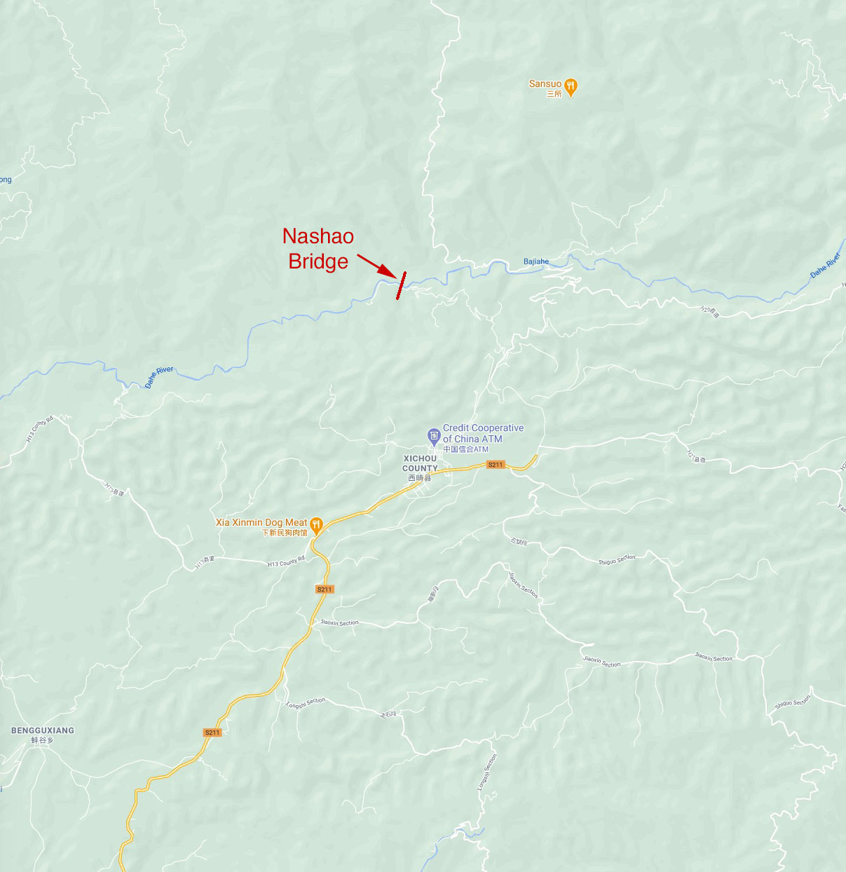 | 1,207 × 1,244 (180 KB) | Sakowski (talk | contribs) | Nashao Bridge satellite image. |
| 03:47, 11 January 2021 | 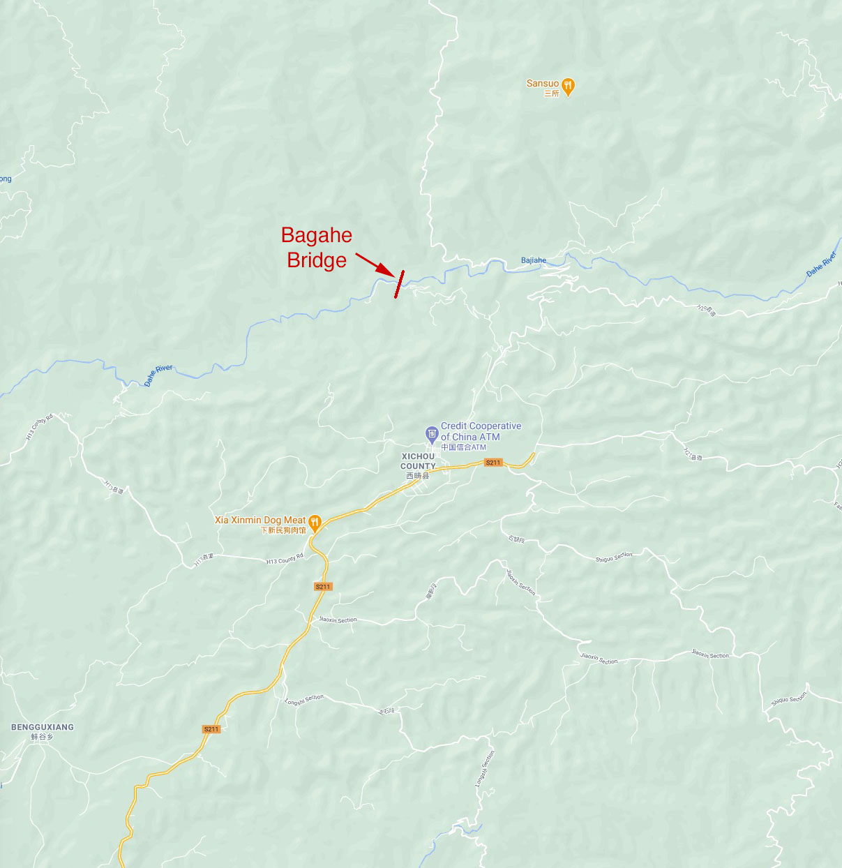 | 1,207 × 1,244 (174 KB) | Sakowski (talk | contribs) | Bagahe Bridge location map. |
You cannot overwrite this file.
File usage
The following page uses this file: