File:DurMazTunnels.jpg
From HighestBridges.com
Jump to navigationJump to search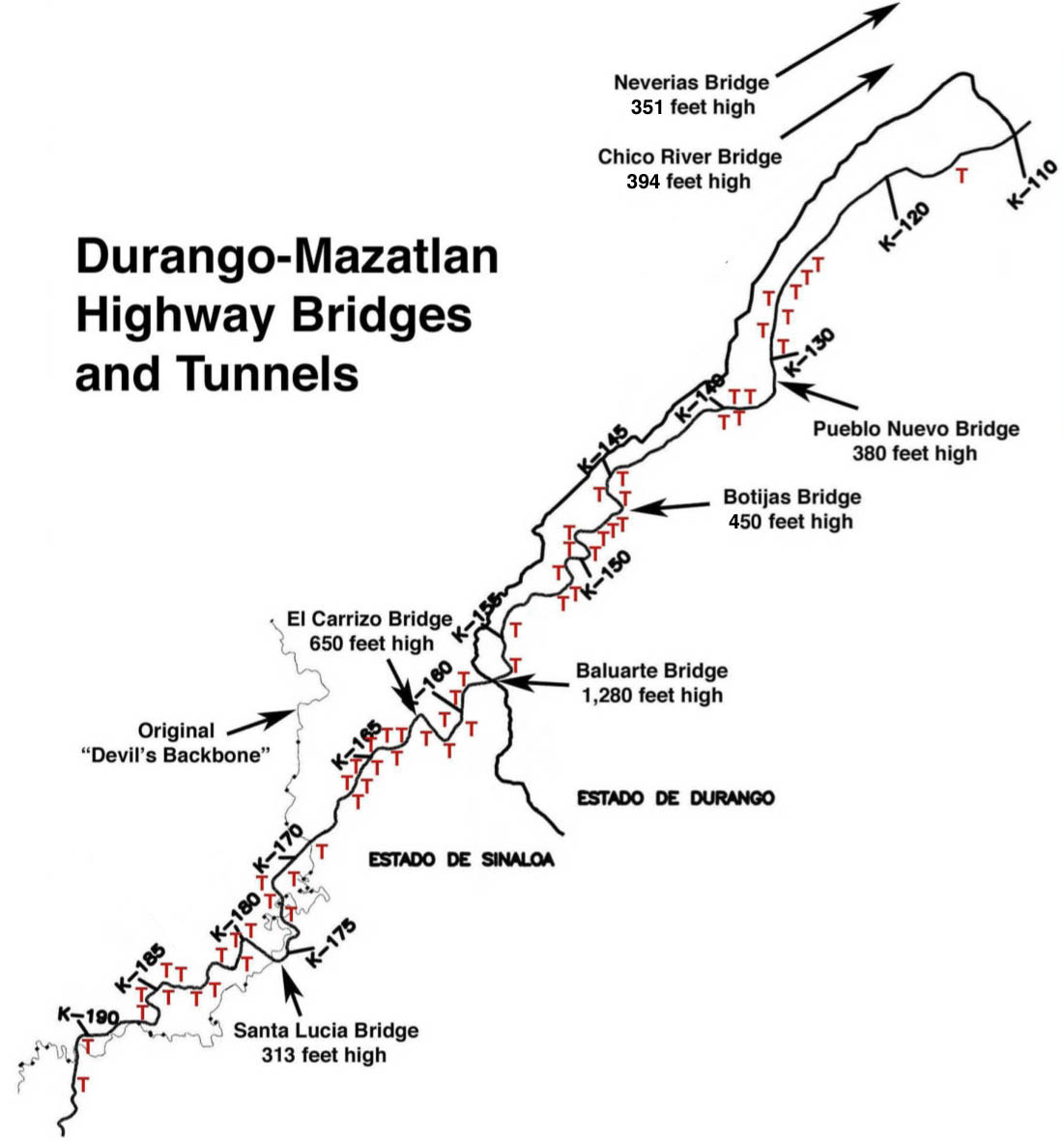
Size of this preview: 558 × 599 pixels. Other resolutions: 224 × 240 pixels | 1,101 × 1,182 pixels.
Original file (1,101 × 1,182 pixels, file size: 128 KB, MIME type: image/jpeg)
Map of the tunnels and major bridges of the Durango Mazatlan highway.
File history
Click on a date/time to view the file as it appeared at that time.
| Date/Time | Thumbnail | Dimensions | User | Comment | |
|---|---|---|---|---|---|
| current | 03:01, 14 December 2012 | | 1,101 × 1,182 (128 KB) | Sakowski (talk | contribs) | Map of Durango Highway Tunnels by Eric Sakowski / HighestBridges.com |
| 22:43, 6 March 2012 |  | 1,101 × 1,182 (134 KB) | Sakowski (talk | contribs) | Map of highest bridges and tunnels on Durango-Mazatlan Highway. |
You cannot overwrite this file.
File usage
The following 6 pages use this file: