File:MachangheLocationMap.jpg
From HighestBridges.com
Jump to navigationJump to search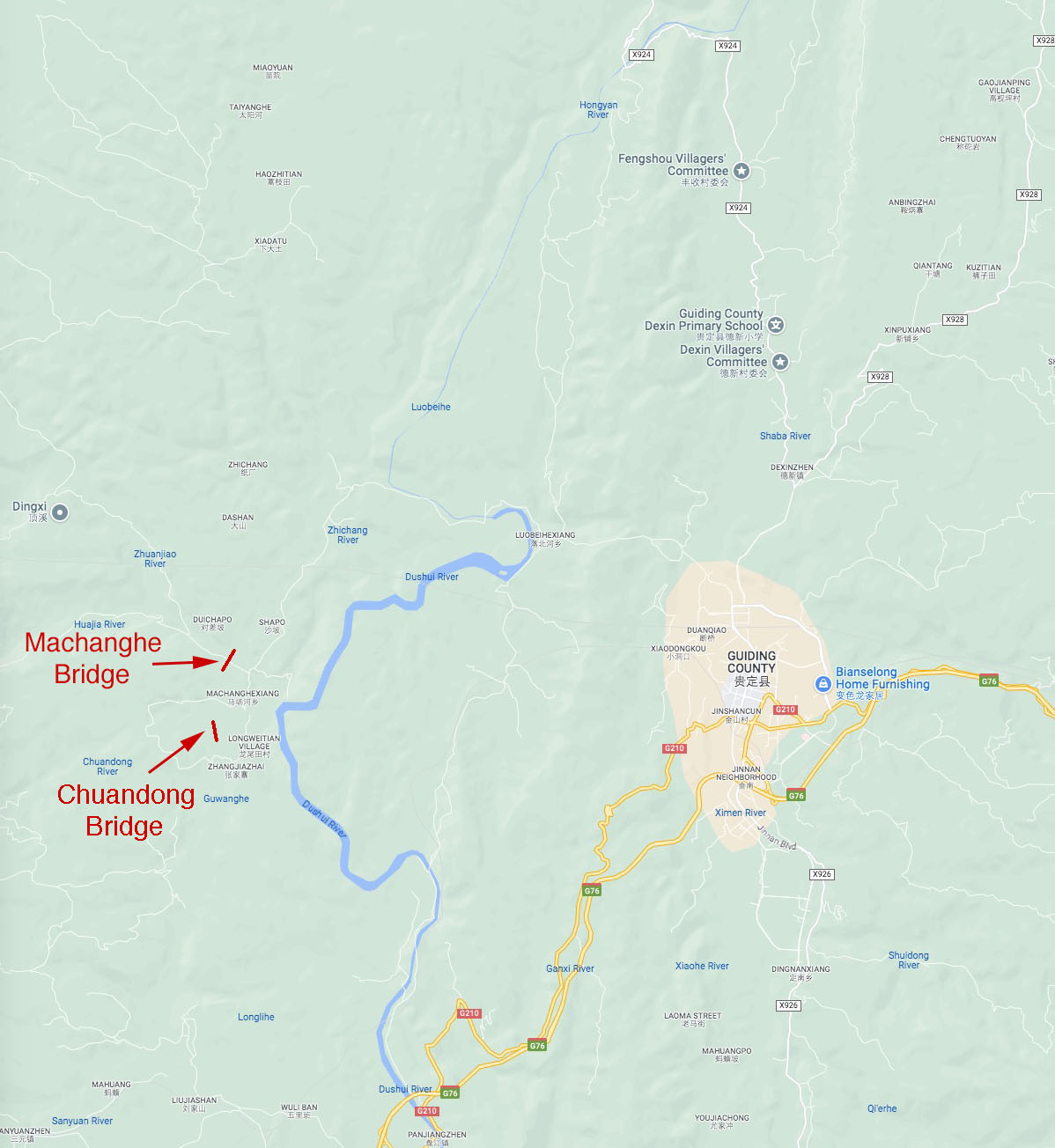
Size of this preview: 551 × 600 pixels. Other resolutions: 220 × 240 pixels | 1,198 × 1,304 pixels.
Original file (1,198 × 1,304 pixels, file size: 182 KB, MIME type: image/jpeg)
Summary
Machanghe Location Map.
File history
Click on a date/time to view the file as it appeared at that time.
| Date/Time | Thumbnail | Dimensions | User | Comment | |
|---|---|---|---|---|---|
| current | 05:04, 26 September 2023 | | 1,198 × 1,304 (182 KB) | Sakowski (talk | contribs) | Machanghe Location Map. |
You cannot overwrite this file.
File usage
The following 2 pages use this file: