File:NearCaijiagouClose.jpg
From HighestBridges.com
Jump to navigationJump to search
The printable version is no longer supported and may have rendering errors. Please update your browser bookmarks and please use the default browser print function instead.
Size of this preview: 800 × 364 pixels. Other resolutions: 320 × 145 pixels | 3,118 × 1,417 pixels.
Original file (3,118 × 1,417 pixels, file size: 516 KB, MIME type: image/jpeg)
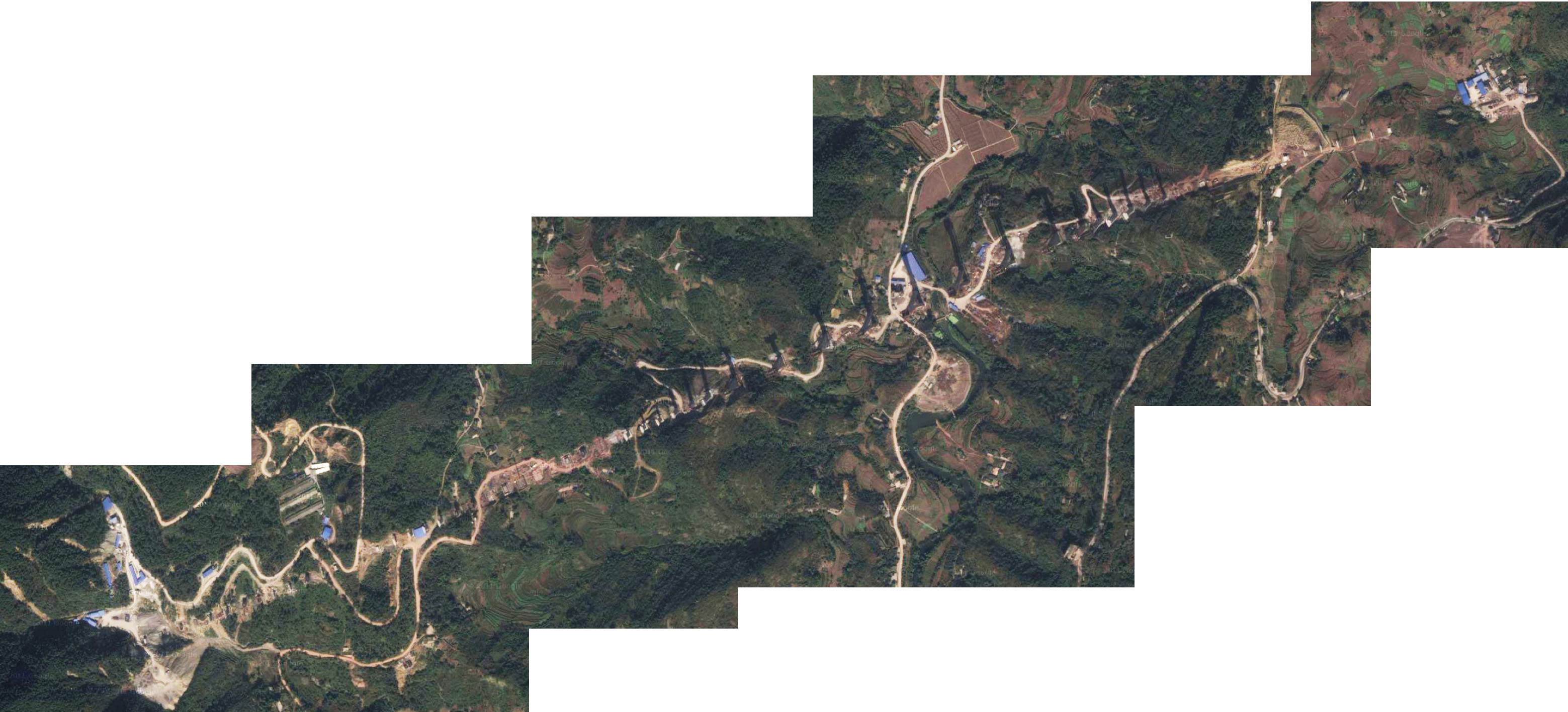
Unnamed Railway viaduct satellite view near Caijiagou.
File history
Click on a date/time to view the file as it appeared at that time.
| Date/Time | Thumbnail | Dimensions | User | Comment | |
|---|---|---|---|---|---|
| current | 16:23, 4 April 2012 | | 3,118 × 1,417 (516 KB) | Sakowski (talk | contribs) | Unnamed Railway viaduct satellite view near Caijiagou. |
You cannot overwrite this file.
File usage
There are no pages that use this file.