File:NianzipingSatellite.jpg
From HighestBridges.com
Jump to navigationJump to search
Size of this preview: 715 × 600 pixels. Other resolutions: 286 × 240 pixels | 1,239 × 1,039 pixels.
Original file (1,239 × 1,039 pixels, file size: 541 KB, MIME type: image/jpeg)
Nianziping Bridge satellite image with approximate bridge location by Eric Sakowski / HighestBridges.com
File history
Click on a date/time to view the file as it appeared at that time.
| Date/Time | Thumbnail | Dimensions | User | Comment | |
|---|---|---|---|---|---|
| current | 00:25, 28 May 2014 | | 1,239 × 1,039 (541 KB) | Sakowski (talk | contribs) | Nianziping Bridge satellite image. |
| 15:16, 14 March 2012 | 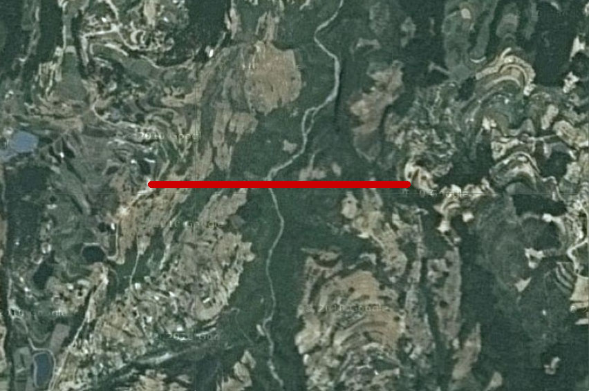 | 852 × 566 (132 KB) | Sakowski (talk | contribs) | Nianziping Bridge satellite image with approximate bridge location by Eric Sakowski / HighestBridges.com |
You cannot overwrite this file.
File usage
The following 2 pages use this file: