File:SanMarcosAerial.jpg
From HighestBridges.com
Jump to navigationJump to search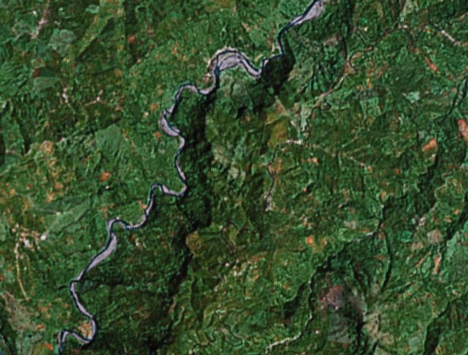
Size of this preview: 791 × 599 pixels. Other resolutions: 317 × 240 pixels | 949 × 719 pixels.
Original file (949 × 719 pixels, file size: 166 KB, MIME type: image/jpeg)
Satellite aerial of San Marcos crossing.
File history
Click on a date/time to view the file as it appeared at that time.
| Date/Time | Thumbnail | Dimensions | User | Comment | |
|---|---|---|---|---|---|
| current | 21:55, 1 October 2009 | | 949 × 719 (166 KB) | Sakowski (talk | contribs) | Satellite aerial of San Marcos crossing. |
You cannot overwrite this file.
File usage
There are no pages that use this file.