File:Zuquihe&NiujiaopingSatellite.jpg
From HighestBridges.com
Jump to navigationJump to search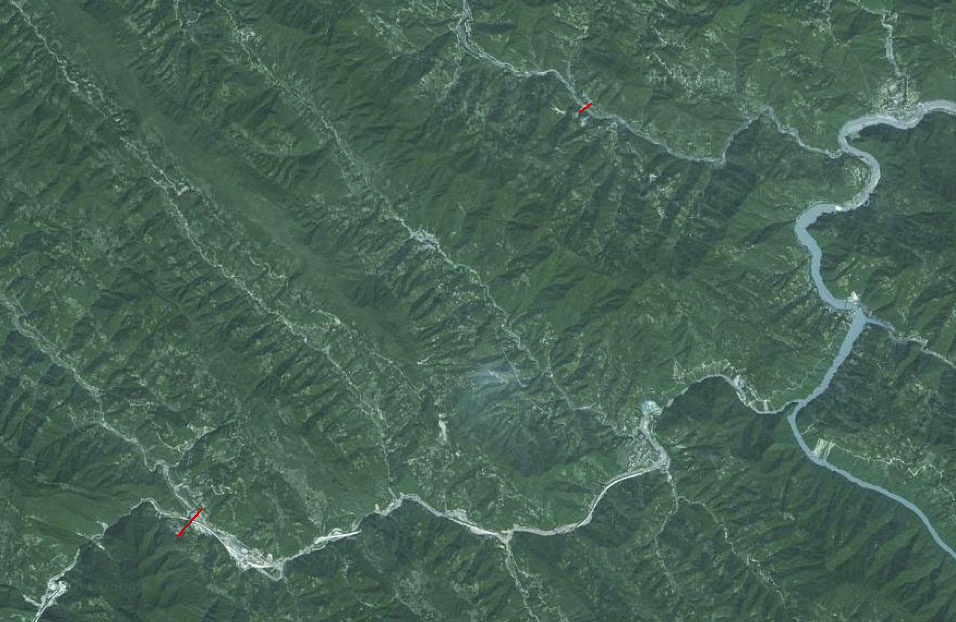
Size of this preview: 800 × 521 pixels. Other resolutions: 320 × 208 pixels | 956 × 622 pixels.
Original file (956 × 622 pixels, file size: 157 KB, MIME type: image/jpeg)
Zuquihe and Niujiaoping Railway Bridge satellite image.
File history
Click on a date/time to view the file as it appeared at that time.
| Date/Time | Thumbnail | Dimensions | User | Comment | |
|---|---|---|---|---|---|
| current | 18:11, 12 April 2012 | | 956 × 622 (157 KB) | Sakowski (talk | contribs) | Zuquihe and Niujiaoping Railway Bridge satellite image. |
You cannot overwrite this file.
File usage
The following 2 pages use this file: