Difference between revisions of "Huashansanhao Bridge"
| Line 3: | Line 3: | ||
花山三号大桥<br /> | 花山三号大桥<br /> | ||
Youyang, Chongqing, China<br /> | Youyang, Chongqing, China<br /> | ||
| − | ( | + | (197) feet high / (60) meters high<br /> |
328 foot span / 100 meter span<br /> | 328 foot span / 100 meter span<br /> | ||
2012<br /> | 2012<br /> | ||
| Line 10: | Line 10: | ||
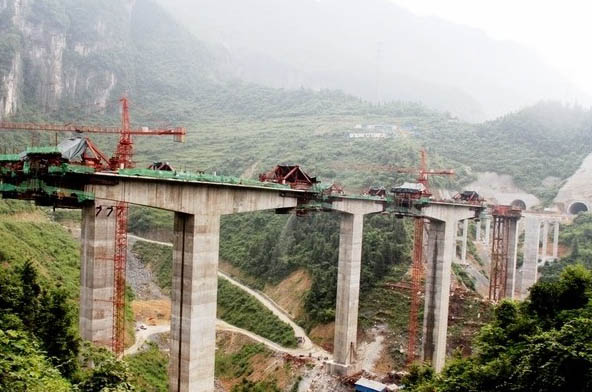
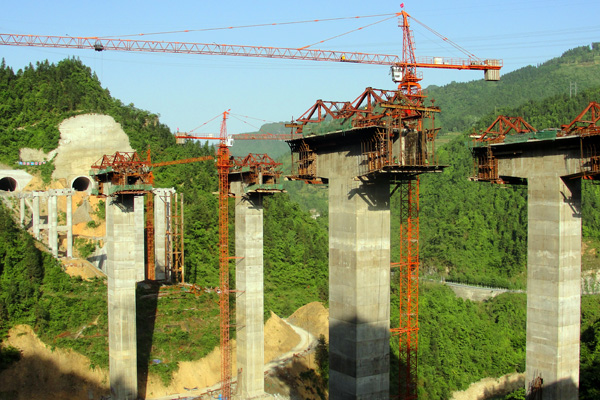
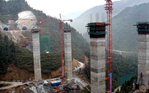
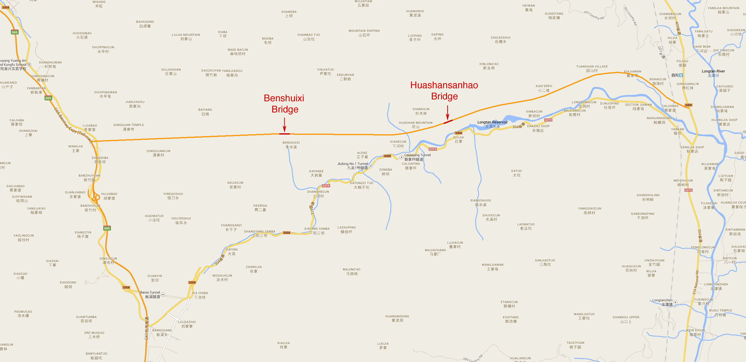
| − | Huashansanhao Bridge is one of two high beam bridges on a new spur expressway that connects the G65 expressway to the Youyang city railway station in Chongqing. Consisting of mostly tunnels and bridges, the 16.6 kilometer route bypasses the older 2-lane national road G319 that runs alongside the Longtan River. The highest bridge on the route is the Huashansanhao beam bridge with a height of | + | Huashansanhao Bridge is one of two high beam bridges on a new spur expressway that connects the G65 expressway to the Youyang city railway station in Chongqing. Consisting of mostly tunnels and bridges, the 16.6 kilometer route bypasses the older 2-lane national road G319 that runs alongside the Longtan River. The highest bridge on the route is the Huashansanhao beam bridge with a height of around 60 meters and a span of 100 meters. |
Latest revision as of 00:21, 18 September 2018
Huashansanhao Bridge
花山三号大桥
Youyang, Chongqing, China
(197) feet high / (60) meters high
328 foot span / 100 meter span
2012
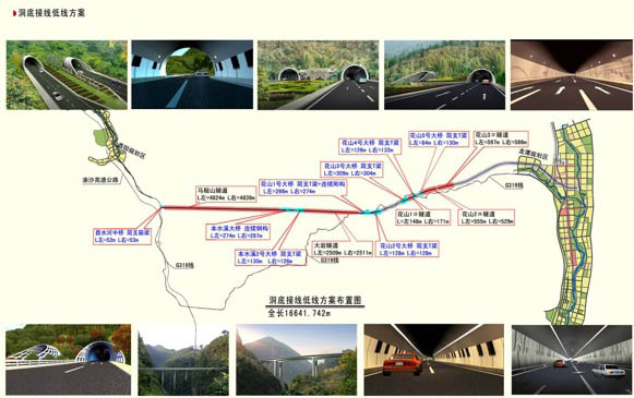
Huashansanhao Bridge is one of two high beam bridges on a new spur expressway that connects the G65 expressway to the Youyang city railway station in Chongqing. Consisting of mostly tunnels and bridges, the 16.6 kilometer route bypasses the older 2-lane national road G319 that runs alongside the Longtan River. The highest bridge on the route is the Huashansanhao beam bridge with a height of around 60 meters and a span of 100 meters.
A map of the new expressway showing the bridges in blue and the tunnels in red.
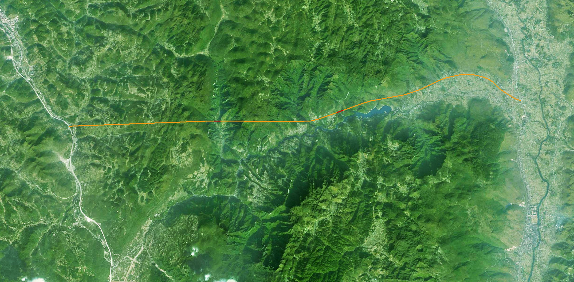
Huashansanhao Bridge satellite image with bridge crossings shown in red.
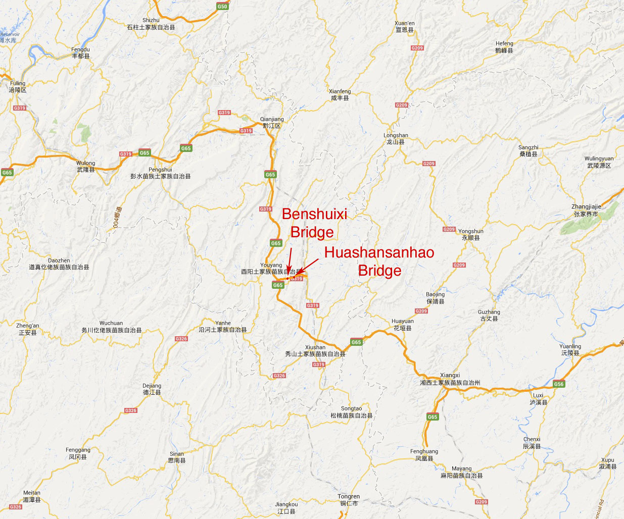
Huashansanhao Bridge location map.
