Difference between revisions of "Longjinghe Bridge"
| Line 52: | Line 52: | ||
[[File:LongjingheDrawing10.jpg|750px|center]] | [[File:LongjingheDrawing10.jpg|750px|center]] | ||
| + | |||
| + | |||
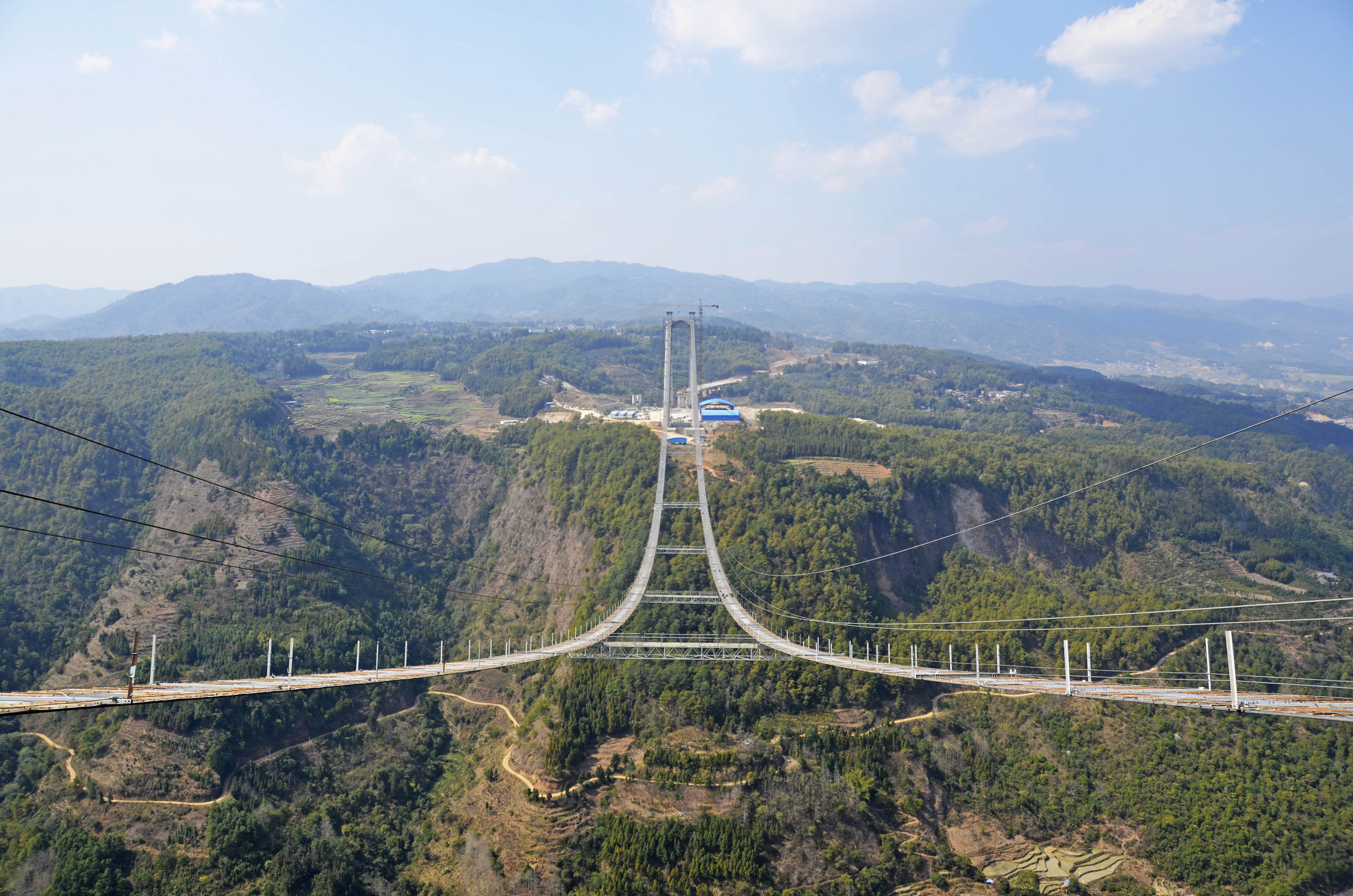
| + | [[File:LongjiangMarch2015.jpg|750px|center]] | ||
| + | Longjinghe Bridge satellite image. | ||
[[File:LongjingheSatellite&Bridge.jpg|750px|center]] | [[File:LongjingheSatellite&Bridge.jpg|750px|center]] | ||
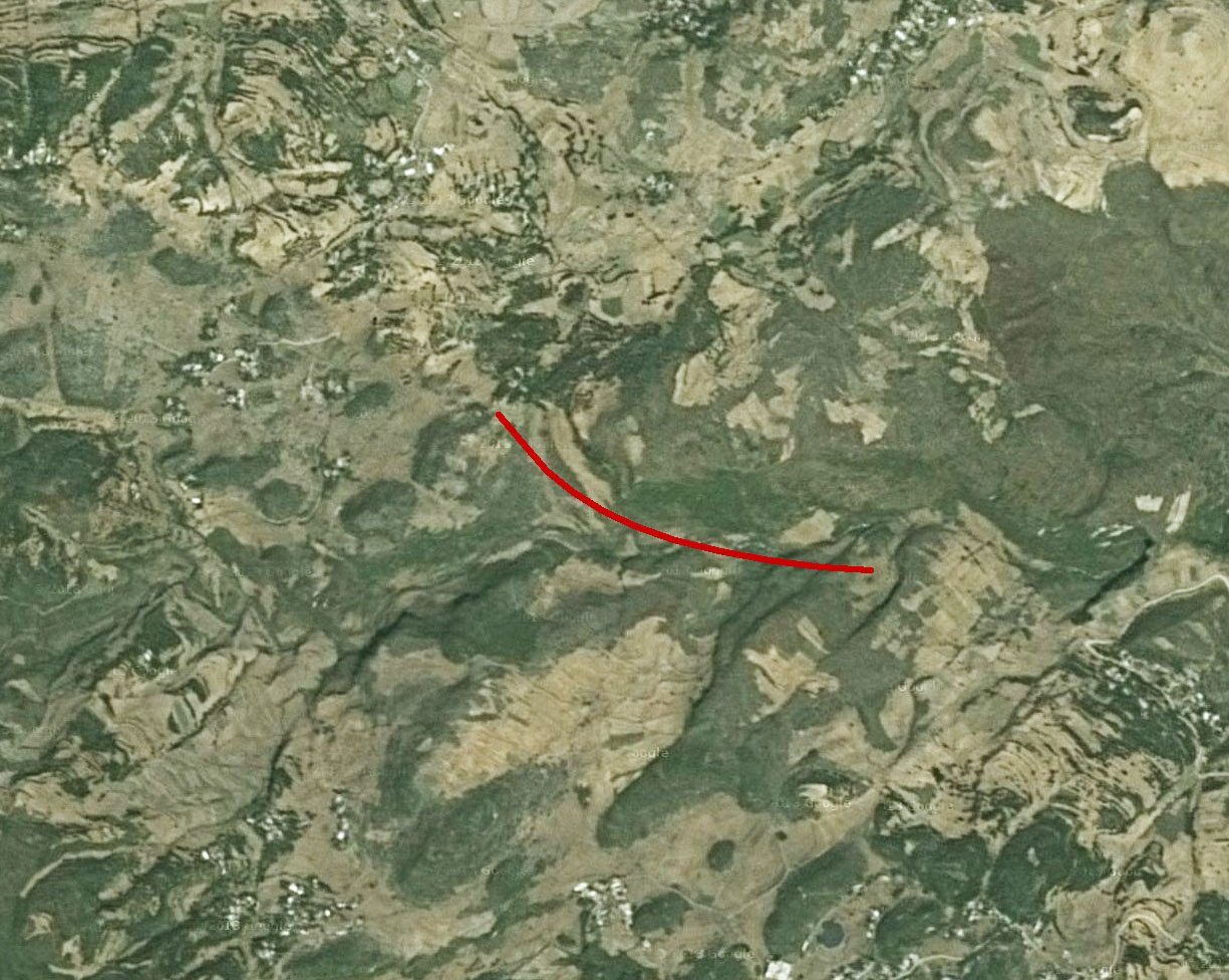
| − | Longjinghe Bridge satellite image. | + | An older Longjinghe Bridge satellite image before construction began. |
Revision as of 21:52, 12 March 2015
Longjinghe Bridge
龙井河特大桥
Nayong, Guizhou, China
(328) feet high / (100) meters high
525 foot span / 160 meter span
2015
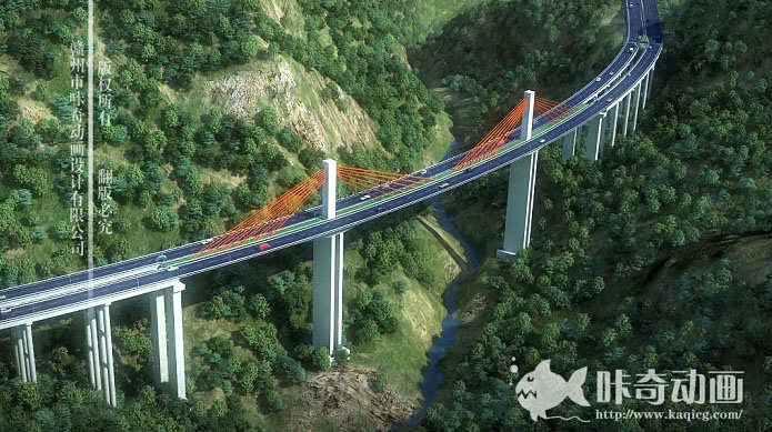
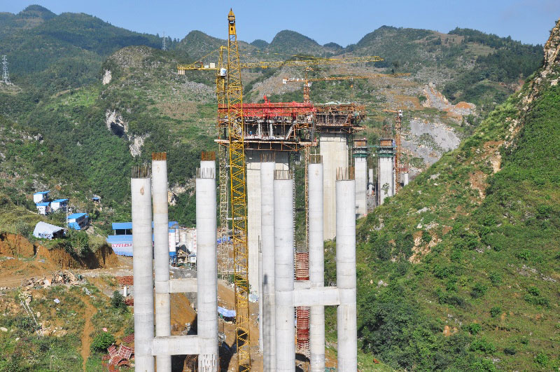
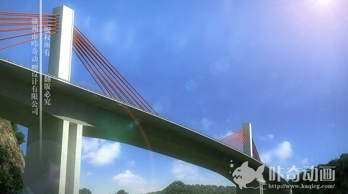
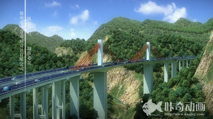
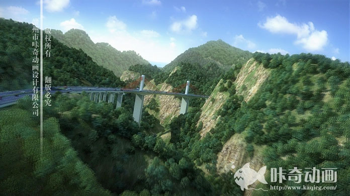
The G76 expressway has so many large and high beam bridges that the extradosed Longjinghe Bridge is a breath of fresh air, curving across a remote river valley in the mountains north of Nayong city.
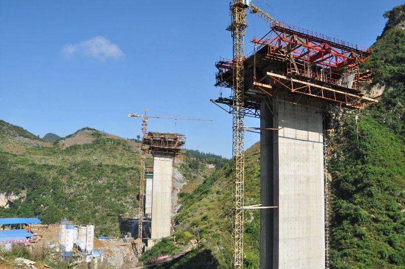
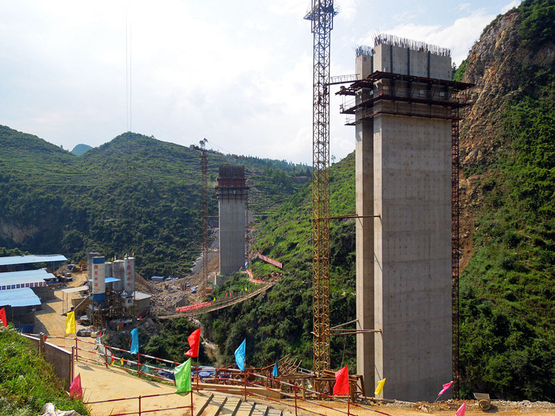
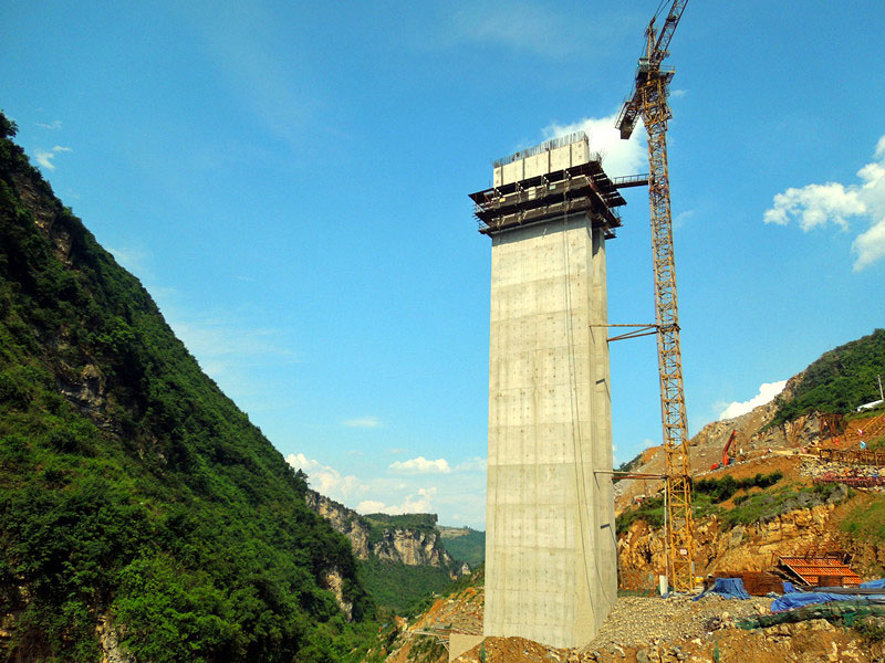
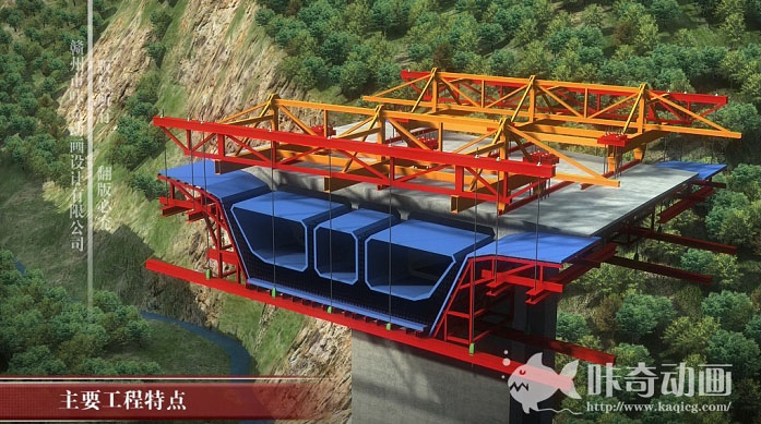
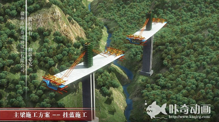
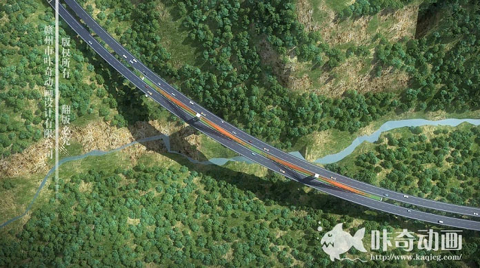
The central span consists of double cable planes that arc across an 850 meter radius using a 4 ° lateral slope. The spans are 86 +160 +86 meters. The main deck is a 28 meter wide single three-compartment box with a depth of 6.5 meters at the towers and 3 meters at mid-span. The double-walled rectangular piers are 60 meters tall. The two main towers rise 28 meters above the road deck and support six pairs of parallel stays that are spaced 4 meters apart at the deck.
Longjinghe Bridge satellite image.
An older Longjinghe Bridge satellite image before construction began.
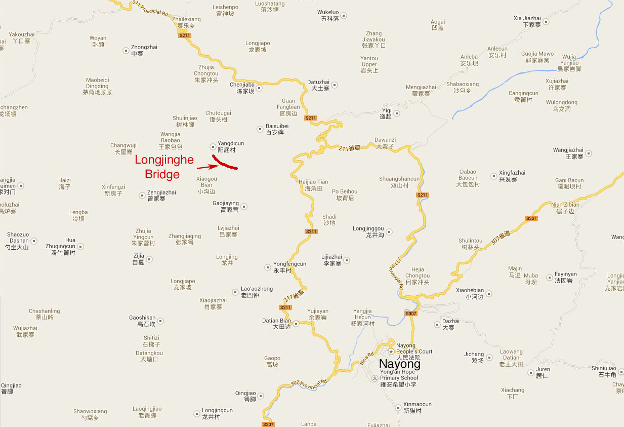
Longjinghe Bridge location map.
