Difference between revisions of "Lushuihe Bridge"
| Line 21: | Line 21: | ||
[[File:LushuiheHenan露水河特大桥2012.jpg|750px|center]] | [[File:LushuiheHenan露水河特大桥2012.jpg|750px|center]] | ||
| + | |||
| + | |||
| + | [[File:LushuiheConstView.jpg|750px|center]] | ||
| + | |||
| + | |||
| + | [[File:LushuiheSideView.jpg|750px|center]] | ||
| + | |||
| + | |||
| + | [[File:LushuiheLocationMap.jpg|750px|center]] | ||
| + | A map showing the bridge crossing with the north end of Linzhou city in the lower right. | ||
| + | |||
| + | |||
| + | [[File:LushuiheMap.jpg|750px|center]] | ||
| + | A detailed topo map showing two different routes that were studied with the bridge crossing at km34 along with several nearby tunnel locations. | ||
| + | |||
| + | [[File:LushuiheTopoMap.jpg|750px|center]] | ||
| + | A more detailed topo of the bridge site crossing shown looking south with the map upside down. | ||
[[Category:Bridges in China]] | [[Category:Bridges in China]] | ||
Revision as of 19:24, 10 May 2012
Lushuihe Bridge
露水河特大桥
Linzhou, Henan, China
427 feet high / 130 meters high
558 foot span / 170 meter span
2012
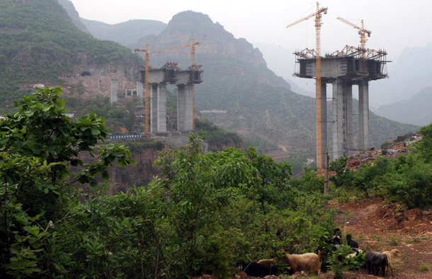
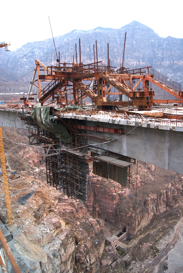
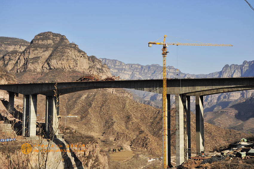
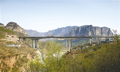
The highest bridge on a new expressway between Linzhou, Henan Province and Changzhi, Shanxi Province, the Lushuihe beam bridge crosses between two cliffs in a spectacular setting. The main span configuration is 90+ 170+ 90 meters with 3x 30 and 5x 30 meter approach spans for a total length of 596 meters.
Beam closure in late 2011.
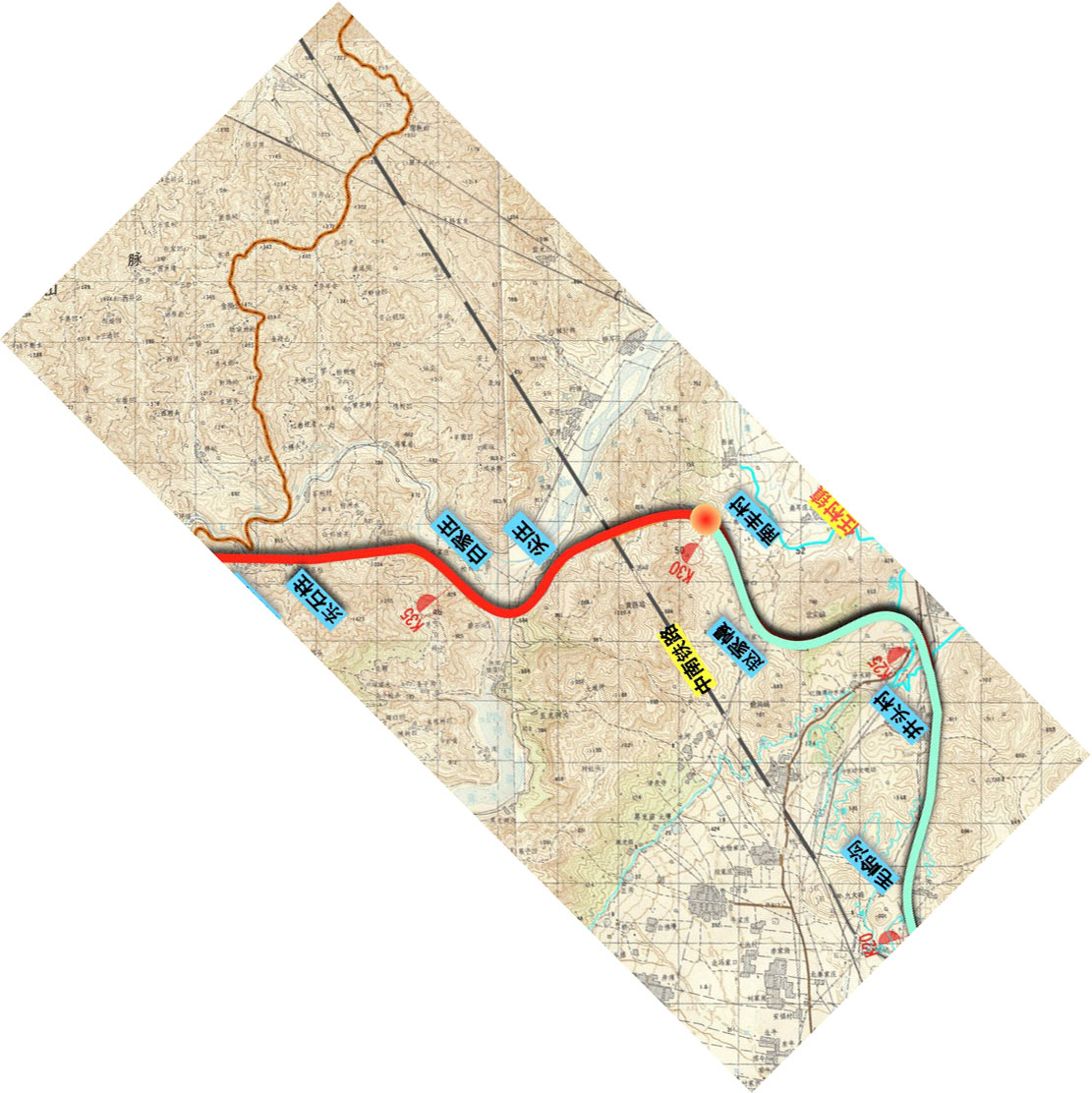
A map showing the bridge crossing with the north end of Linzhou city in the lower right.
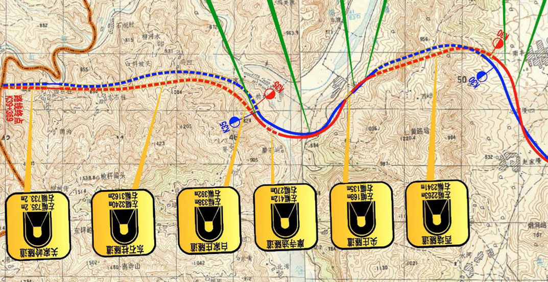
A detailed topo map showing two different routes that were studied with the bridge crossing at km34 along with several nearby tunnel locations.
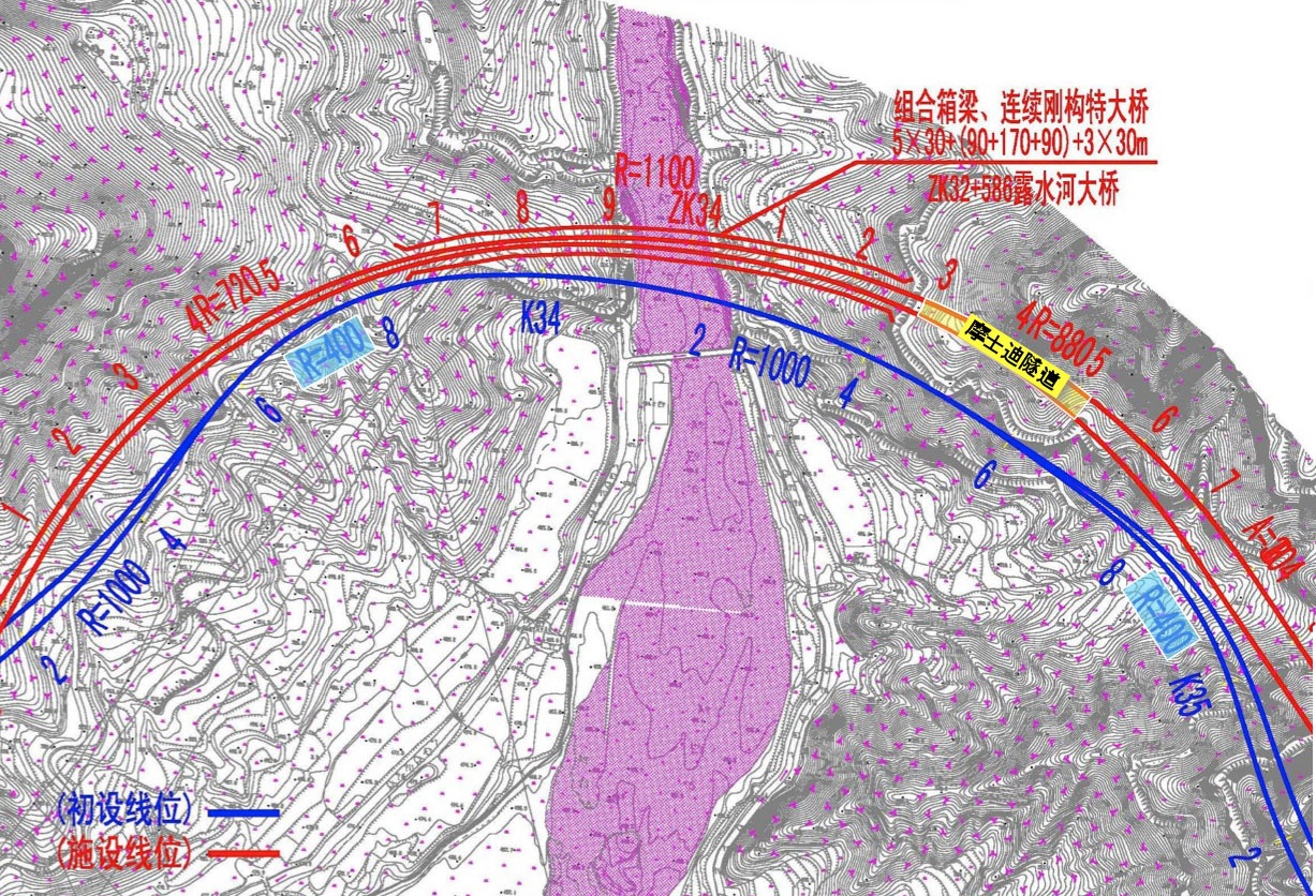
A more detailed topo of the bridge site crossing shown looking south with the map upside down.
