Difference between revisions of "Makimine Bridge"
| Line 6: | Line 6: | ||
591 foot span / 180 meter span<br /> | 591 foot span / 180 meter span<br /> | ||
1991<br /> | 1991<br /> | ||
| − | [[File: | + | [[File:Makamine180mtrSpan.jpg|750px|center]] |
</div> | </div> | ||
| Line 17: | Line 17: | ||
| − | [[File: | + | [[File:MakamineBridges.jpg|750px|center]] |
| − | [[File: | + | [[File:Makimine-Bridges.jpg|750px|center]] |
| − | [[File: | + | [[File:MakamineOpen1991.jpg|750px|center]] |
| − | [[File: | + | [[File:MakamineProb100mtrH.jpg|750px|center]] |
| + | |||
| + | |||
| + | [[File:MakimineSatellite.jpg|750px|center]] | ||
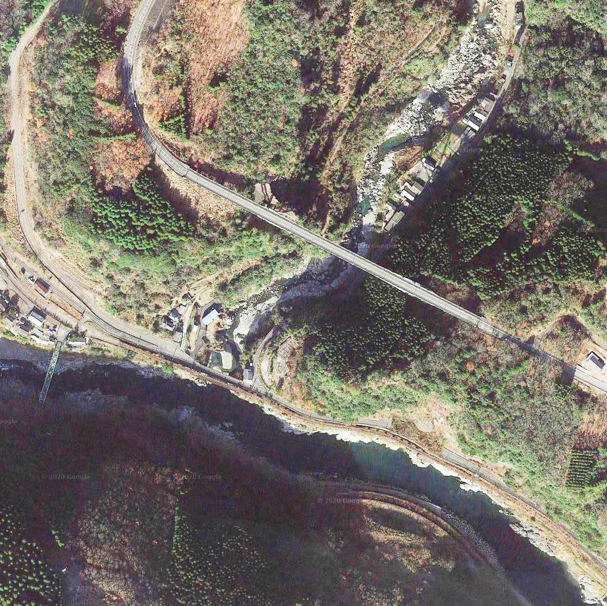
Makimine Bridge satellite image. | Makimine Bridge satellite image. | ||
Latest revision as of 00:53, 6 July 2020
Makimine Bridge
槙峰大橋
Takachiho, Miyazaki, Japan
(328) feet high / (100) meters high
591 foot span / 180 meter span
1991
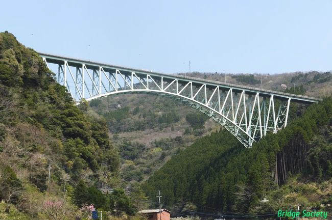
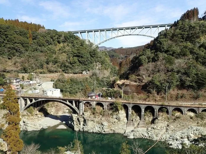
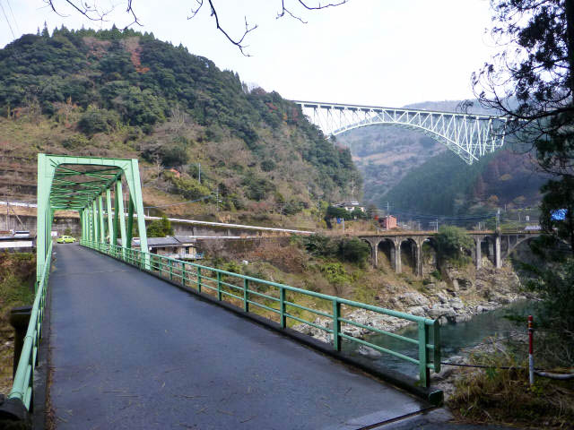
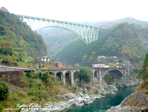
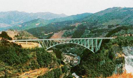
Makimine Bridge is a large concrete arch in the southern region of Takachiho Gorge in Miyazaki Prefecture. The 100 meter high structure has a main arch span of 180 meters.
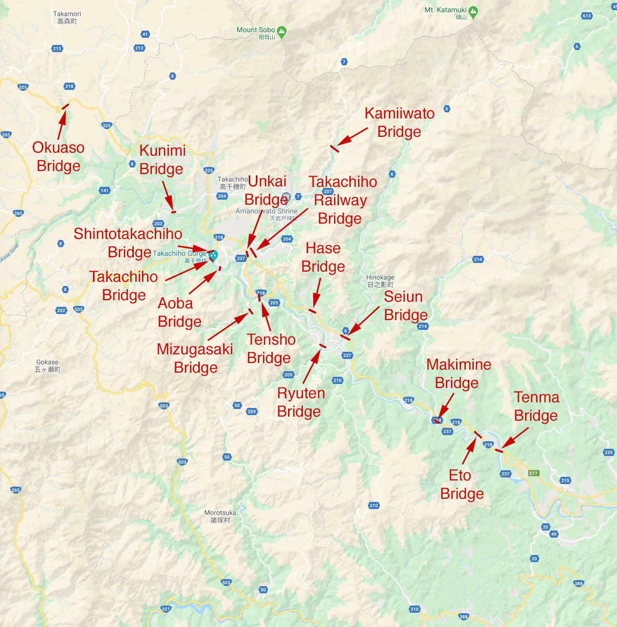
There is no other region in Japan that has as many high bridges than the Takachiho Gorge Scenic Area of Miyazaki Prefecture. Within a distance of just 30 kilometers the Gokase and Iwato River canyons are crossed by no less than 15 high bridges.
Several of these spectacular crossings were the highest in Japan including Tensho, Seiun and Unkai Bridges. The Takachiho Railway Bridge is still the highest railway crossing in Japan even if it not longer operates with regular trains.
Makimine Bridge satellite image.
Makimine Bridge location map.
