Difference between revisions of "Marão Bridge"
| Line 19: | Line 19: | ||
<div style="text-align: center; font-size: 25px;"> | <div style="text-align: center; font-size: 25px;"> | ||
[[File:MarãoElevComingSoon.jpg|750px|center]]<br /> | [[File:MarãoElevComingSoon.jpg|750px|center]]<br /> | ||
| − | + | Marão Bridge Elevation<br /> | |
</div> | </div> | ||
Revision as of 21:20, 7 March 2012
Marão Bridge
Viaduto Marão
Amarante, Porto, Portugal
492 feet high / 150 meters high
486 foot span / 148 meter span
2012
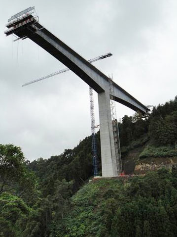
Completed in 2012, the Viaduto Marão joined the 2011-built Despe-te que suas Bridge and the 1995 Rio Zêzere Bridge to become Portugal's highest span in a 3 way tie. All are approximately 150 meters from deck to water. With 4 main spans of 148 meters, this is arguably the largest viaduct ever built in Portugal. The bridge is located on the western end of a new 30 kilometer highway extension that links up Amarante to Vila Real in Northern Portugal. The new route bypasses an older highway with less turns and easier grades.
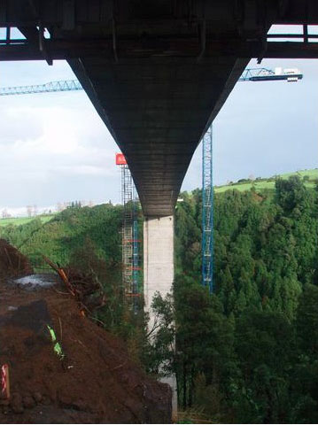
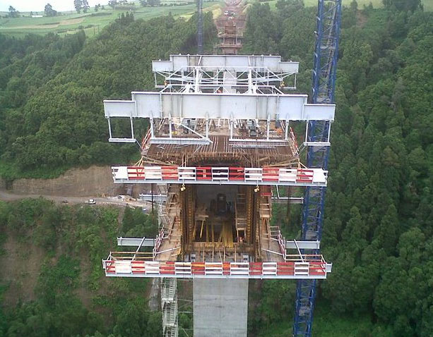
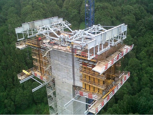
The huge, single cell rectangular box girder is 29.5 meters wide with gradual banking that changes from left to right as the bridge follows an S-shaped path as it crosses the deep Marão River valley.
Also on the new autopista is the 105 meter high Viaduto Sordo and the Viaduto Giao in the near 100 meter height range.
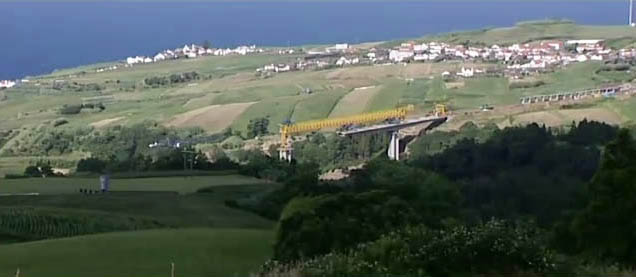
A wide view of the Despe-te que suas Bridge construction site showing the concrete segmental bridge sections lined up along the road on the far right of the image. Each precast bridge section is suspended along the yellow truss traveler before being "dropped" into place at the end of the beam.
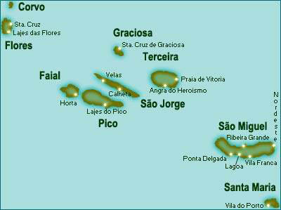
A map of São Miguel Island showing the mostly older 2-lane roads. The Ponte "Despe-te que suas" is located on the north side of the island near the very east end.
São Miguel is the largest of the 9 islands that make up Portugal's impressive Azores archipelago.
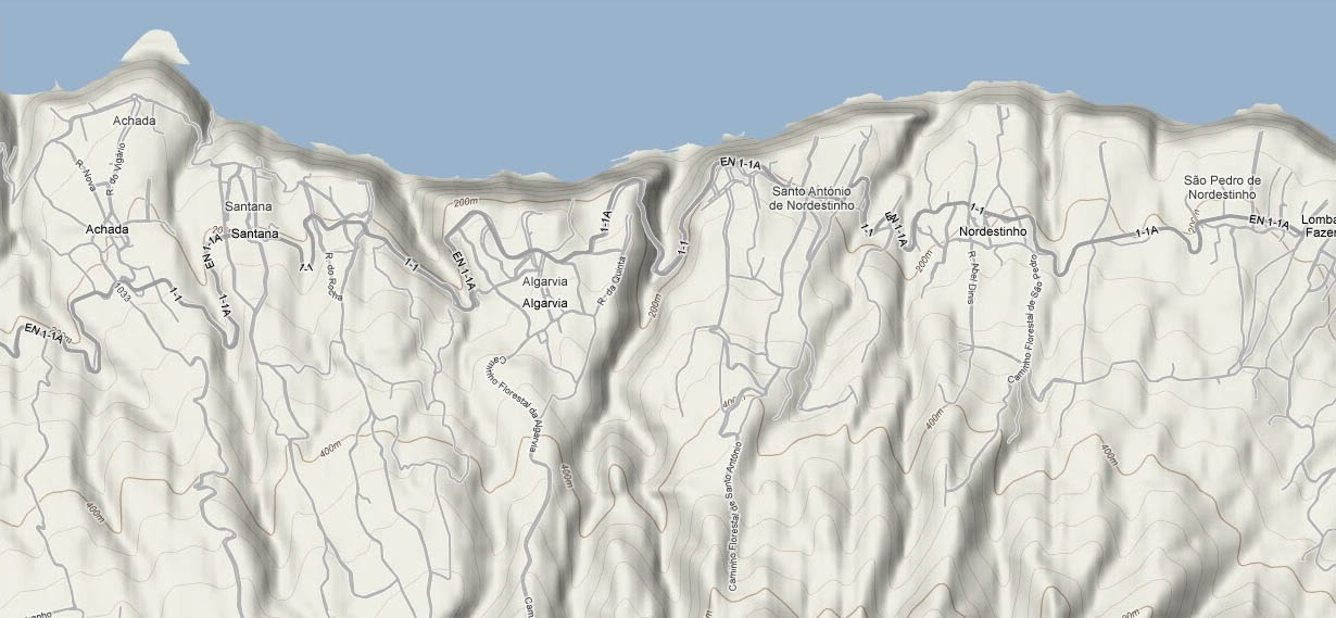
A topo of the northeastern part of São Miguel island with the deep cut of the Despe-te que suas crossing in the center. The older road zig zags down into the 150 meter deep valley.
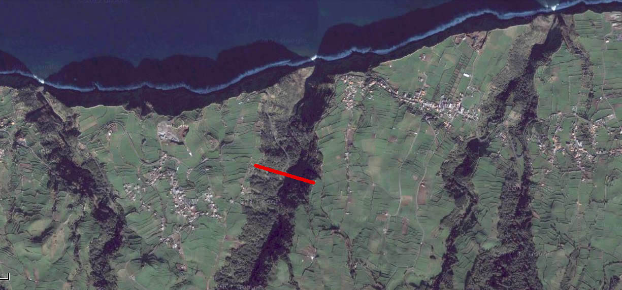
Approximate location of Despe-te que suas Bridge crossing on northeastern São Miguel Island.
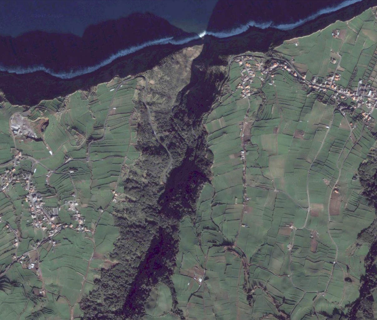
A "clean" view of the canyon before the highway and bridge were built.
