Difference between revisions of "Silahe Bridge"
| (5 intermediate revisions by the same user not shown) | |||
| Line 6: | Line 6: | ||
(394) foot span / (120) meter span<br /> | (394) foot span / (120) meter span<br /> | ||
1990<br /> | 1990<br /> | ||
| − | [[File:Silahe.jpg|750px|center]] | + | [[File:Silahe&Reservoir.jpg|750px|center]] |
</div> | </div> | ||
| Line 14: | Line 14: | ||
The concrete truss-arch has become a discontinued type of bridge span in China as a number of them developed cracks and other issues that forced either closure or replacement. So far the Silahe Bridge seems to be holding its own with a clean bill of health since its opening in 1990. | The concrete truss-arch has become a discontinued type of bridge span in China as a number of them developed cracks and other issues that forced either closure or replacement. So far the Silahe Bridge seems to be holding its own with a clean bill of health since its opening in 1990. | ||
| − | The | + | The Silahe Bridge deck is about 40 meters above the full reservoir level formed by a downstream dam but is at least 100 meters above the original level of the Sancha River. |
| + | In 2023 a higher level bypass beam bridge was built next to the older arch bridge. | ||
| − | |||
| + | [[File:SilaheArch.jpg|750px|center]] | ||
| − | |||
| + | [[File:SilaheArchBuilt1990.jpg|750px|center]] | ||
| − | |||
| + | [[File:SilaheFullReservoir.jpg|750px|center]] | ||
| + | The Silahe Bridge under a full reservoir. | ||
| − | |||
| + | [[File:SilaheReservoirView.jpg|750px|center]] | ||
| − | [[File: | + | |
| + | [[File:SilaheRailing.jpg|750px|center]] | ||
| + | |||
| + | |||
| + | [[File:SilaheTrussArch.jpg|750px|center]] | ||
| + | |||
| + | |||
| + | [[File:SilaheProb120mtrSpan.jpg|750px|center]] | ||
| + | Silahe Bridge with the reservoir half empty. | ||
| + | |||
| + | |||
| + | [[File:SilaheRoad.jpg|750px|center]] | ||
| + | |||
| + | |||
| + | [[File:SilaheNewSatellite.jpg|750px|center]] | ||
Silahe Bridge satellite image. | Silahe Bridge satellite image. | ||
| − | [[File: | + | [[File:SilaheSatelliteImage.jpg|750px|center]] |
| + | |||
| + | |||
| + | [[File:SilaheLocationMap.jpg|750px|center]] | ||
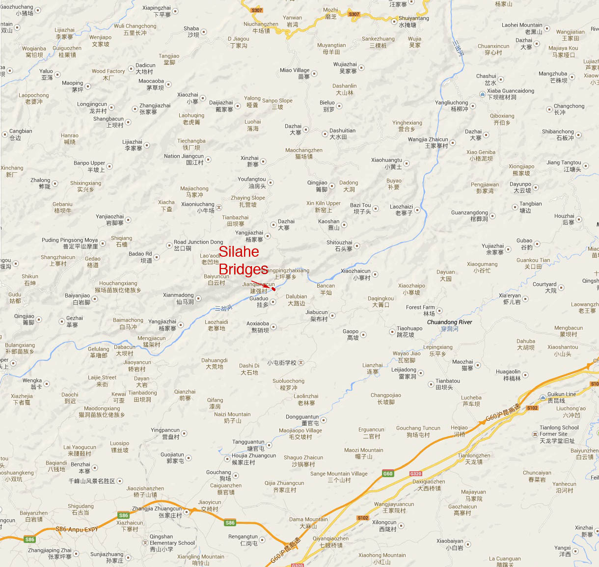
Silahe Bridge location map. | Silahe Bridge location map. | ||
| − | [[File: | + | [[File:SilaheLocationMapWide.jpg|750px|center]] |
[[Category:Bridges in China]] | [[Category:Bridges in China]] | ||
Latest revision as of 01:52, 27 September 2023
Silahe Bridge
斯拉河大桥
Shangpingzhaixiang, Guizhou, China
(328) feet high / (100) meters high
(394) foot span / (120) meter span
1990
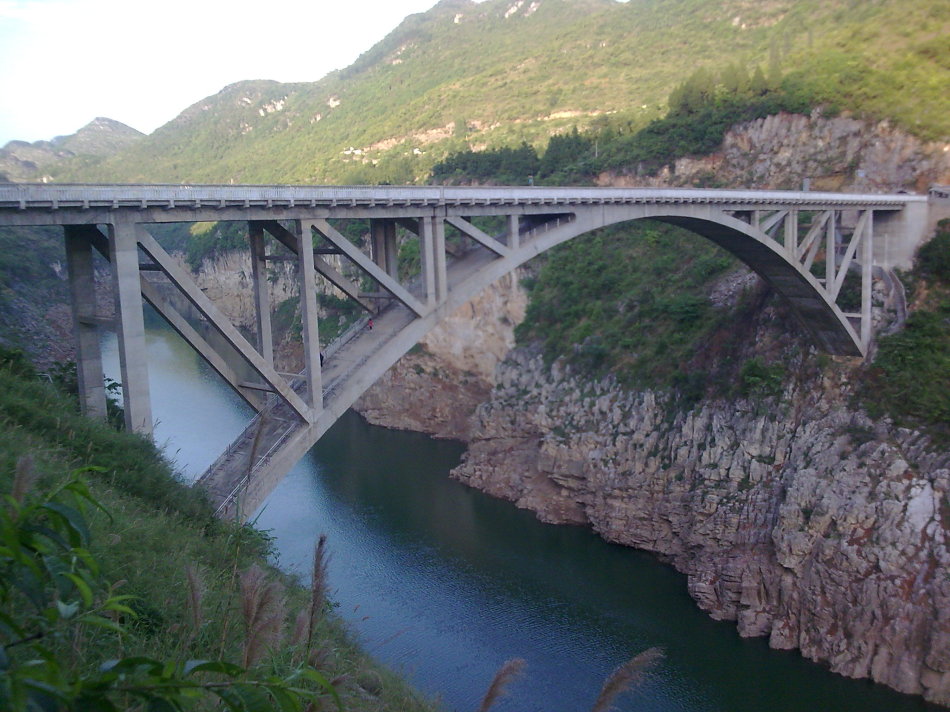
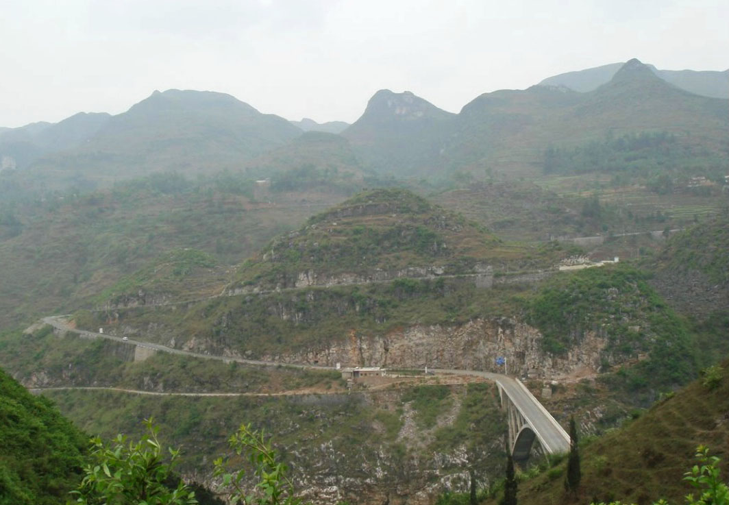
Although the Sancha River is crossed by more spectacular spans both upstream and downstream of the Silahe Bridge, this remote arch crossing is still a delightful little gem hidden in the mountains about 50 kilometers north of Anshun city.
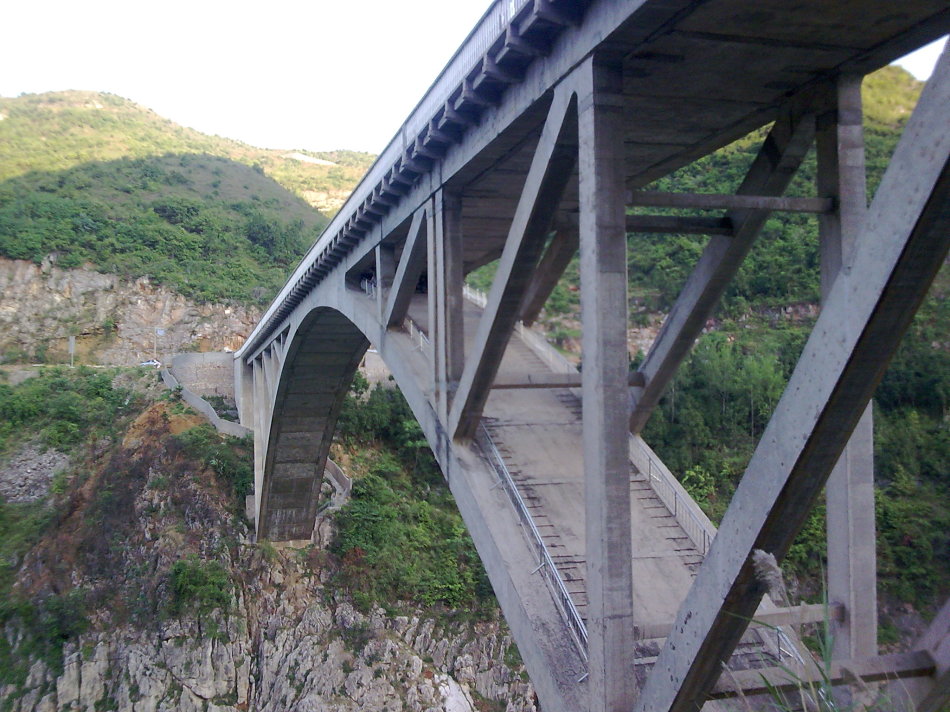
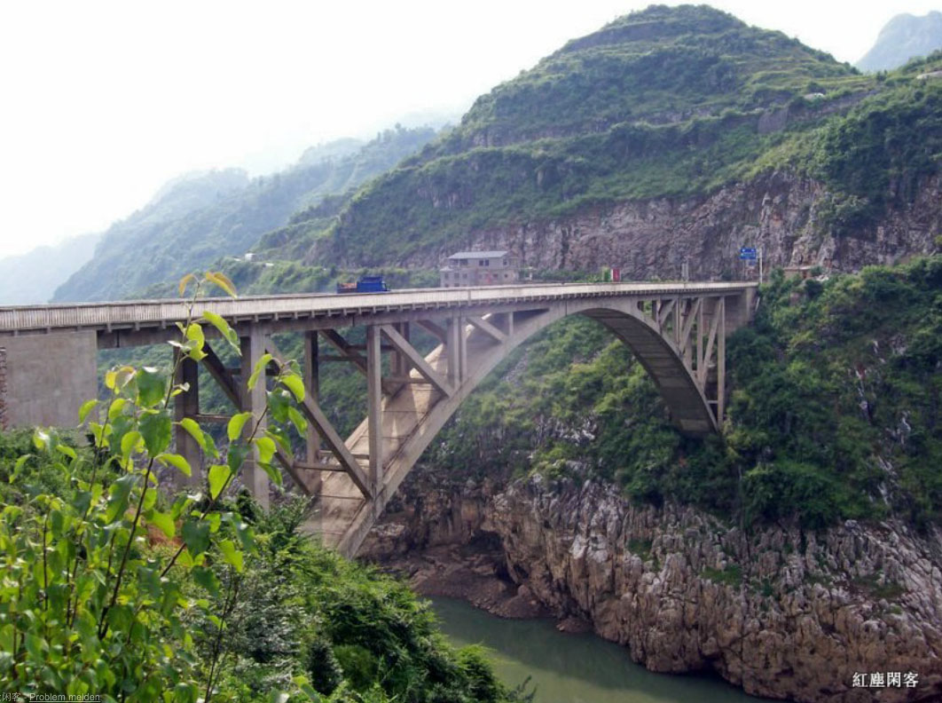
The concrete truss-arch has become a discontinued type of bridge span in China as a number of them developed cracks and other issues that forced either closure or replacement. So far the Silahe Bridge seems to be holding its own with a clean bill of health since its opening in 1990.
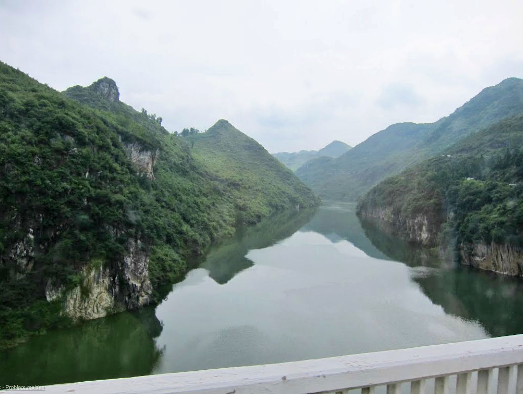
The Silahe Bridge deck is about 40 meters above the full reservoir level formed by a downstream dam but is at least 100 meters above the original level of the Sancha River.
In 2023 a higher level bypass beam bridge was built next to the older arch bridge.
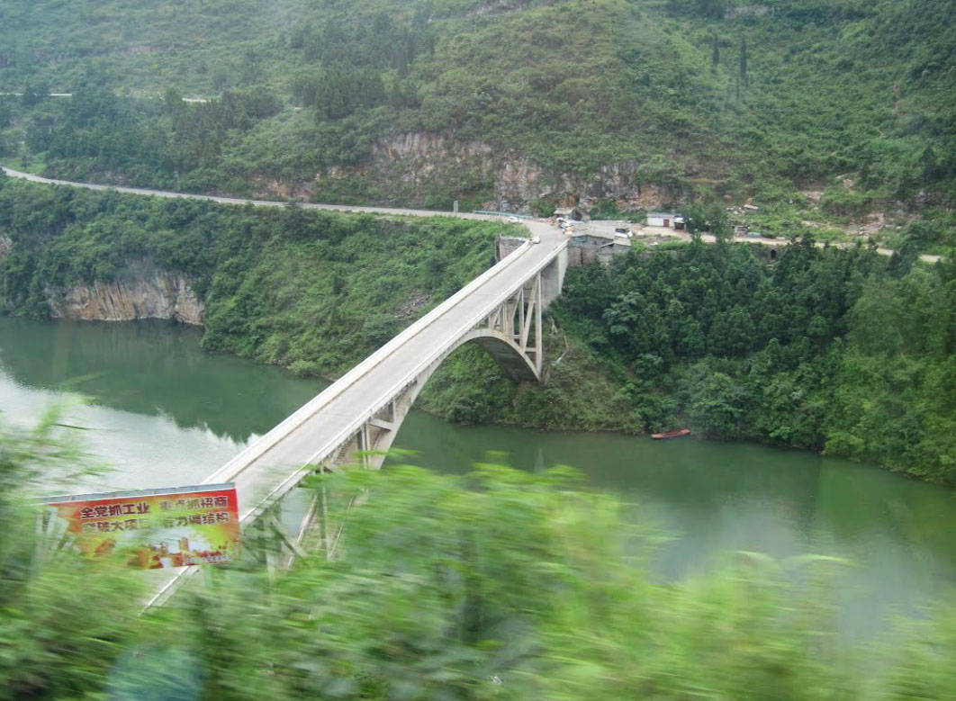
The Silahe Bridge under a full reservoir.
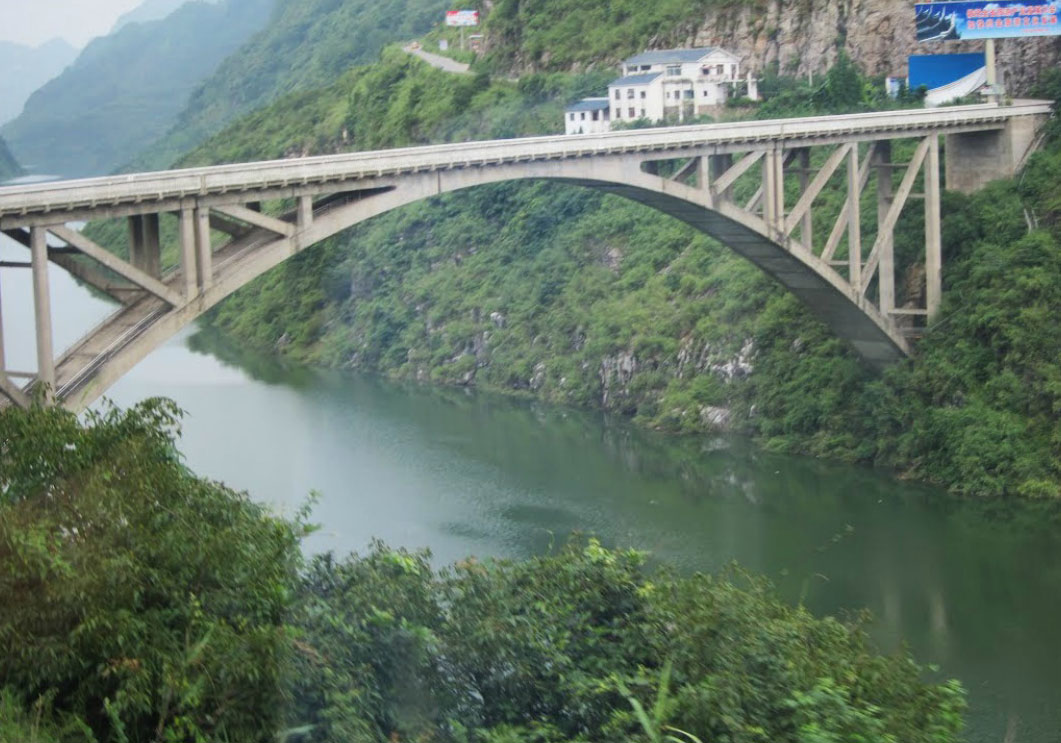
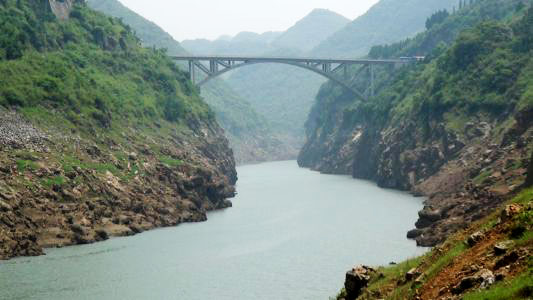
Silahe Bridge with the reservoir half empty.
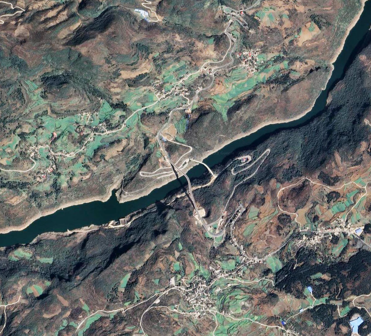
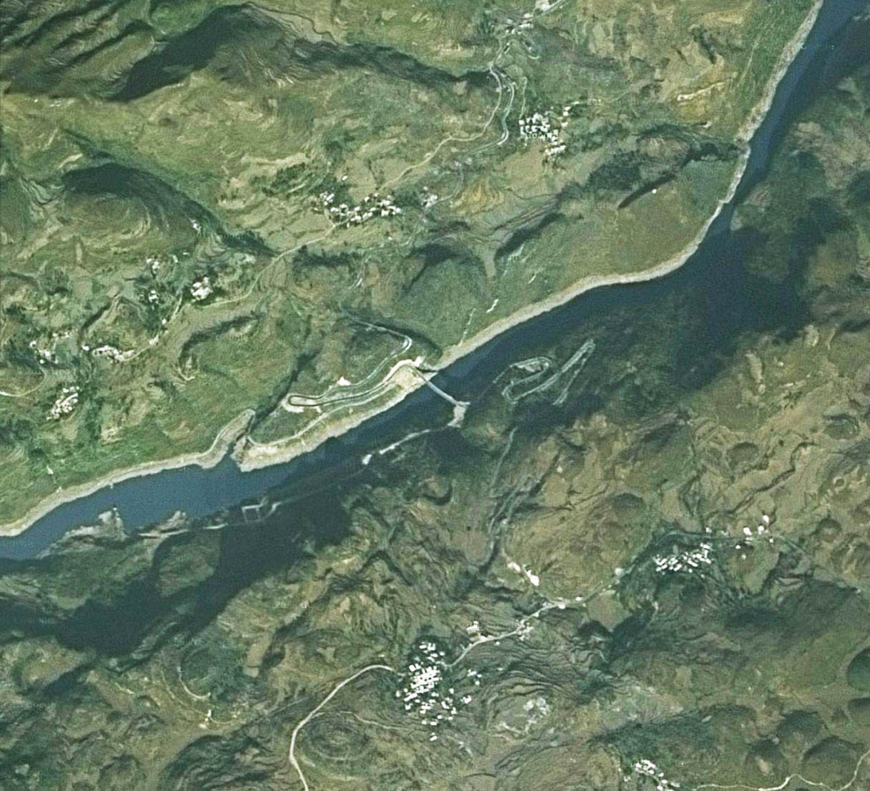
Silahe Bridge satellite image.
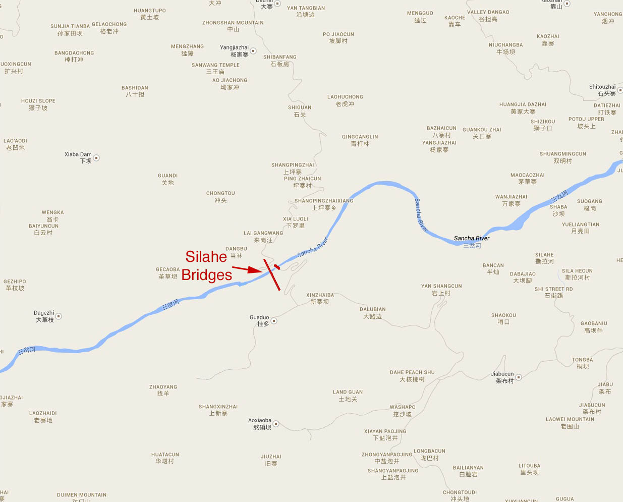
Silahe Bridge location map.
