Difference between revisions of "Val Pusteria Bridge"
(Created page with "<div style="font-size: 25px; text-align: center;"> Val Pusteria Bridge<br /> Viadotto Val Pusteria<br /> Rio di Pusteria, South Tyrol, Italy<br /> (279) feet high / (85) meters h...") |
|||
| Line 6: | Line 6: | ||
197 foot span / 60 meter span<br /> | 197 foot span / 60 meter span<br /> | ||
199?<br /> | 199?<br /> | ||
| − | [[File: | + | [[File:IsarcoProb85mtrH.jpg|750px|center]] |
</div> | </div> | ||
| Line 17: | Line 17: | ||
| − | [[File: | + | [[File:IsarcoPonte60mtrSpan.jpg|750px|center]] |
| − | [[File: | + | [[File:ValPusteria184mtrLong.jpg|750px|center]] |
| − | [[File: | + | [[File:FirstSpan22.62mtr.jpg|750px|center]] |
| − | [[File: | + | [[File:Ponte Matteotti.jpg|750px|center]] |
| − | [[File: | + | [[File:IsarcoRailwayRender.jpg|750px|center]] |
| + | Planned crossing of the Isarco River on a bypass section of the Ferrovia dell Val Pusteria. | ||
| + | |||
| + | |||
| + | [[File:Val di Riga 172mtr SpanRailway.jpg|750px|center]] | ||
| + | |||
| + | |||
| + | [[File:Val Pusteria Satellite.jpg|750px|center]] | ||
Val Pusteria Bridge satellite image. | Val Pusteria Bridge satellite image. | ||
| − | [[File: | + | [[File:Val Pusteria SatelliteWide.jpg|750px|center]] |
| − | [[File: | + | [[File:ValPusteriaLocationMap.jpg|750px|center]] |
Val Pusteria Bridge location map. | Val Pusteria Bridge location map. | ||
| − | [[File: | + | [[File:ValPusteriaLocationMapWide.jpg|750px|center]] |
[[Category:Bridges in Italy]] | [[Category:Bridges in Italy]] | ||
Revision as of 04:41, 29 April 2020
Val Pusteria Bridge
Viadotto Val Pusteria
Rio di Pusteria, South Tyrol, Italy
(279) feet high / (85) meters high
197 foot span / 60 meter span
199?
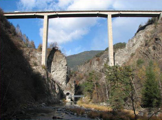
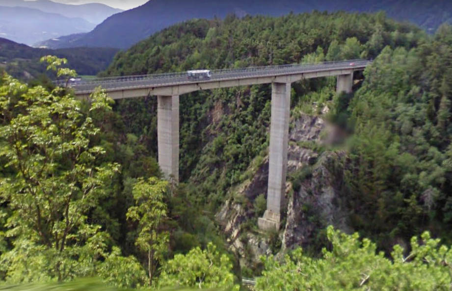
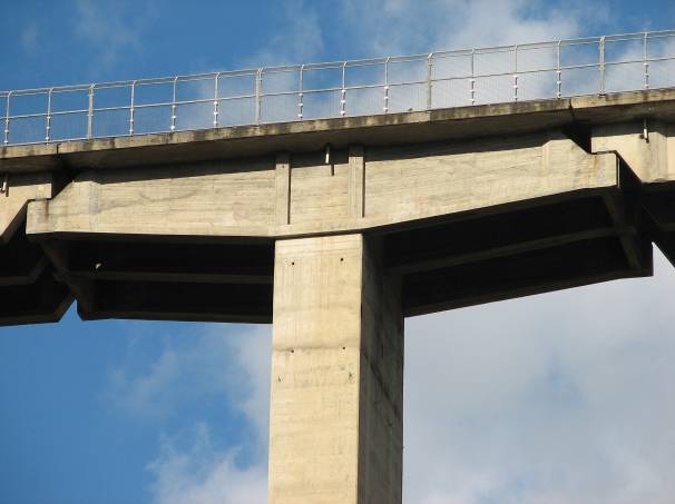
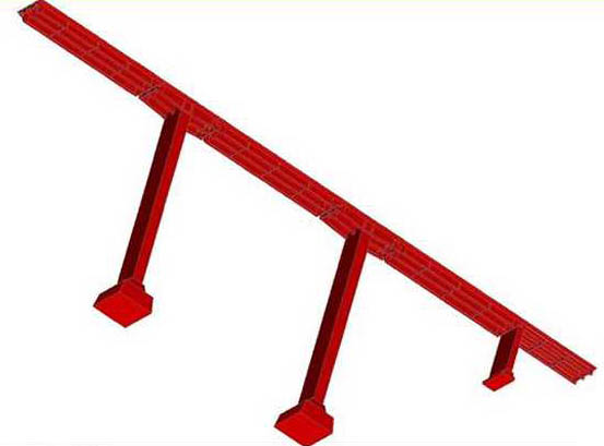
The Val Pusteria Bridge marks the very start of the southern end of the 2-lane route SS49 / E66. The simple 4 beam structure has a main span of 60 meters that is composed of a 40 meter beam resting on two 10 meter bench chairs that are part of the pier tops.
There is no official name for the Val Pusteria Bridge which crosses the Isarco River.
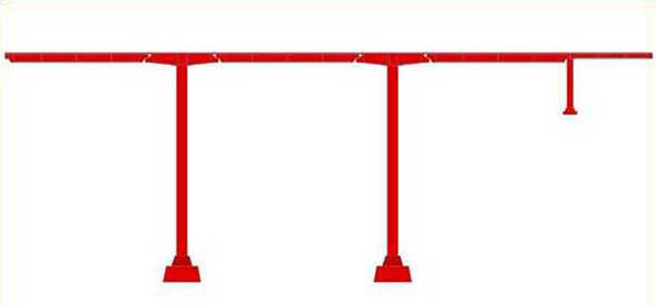
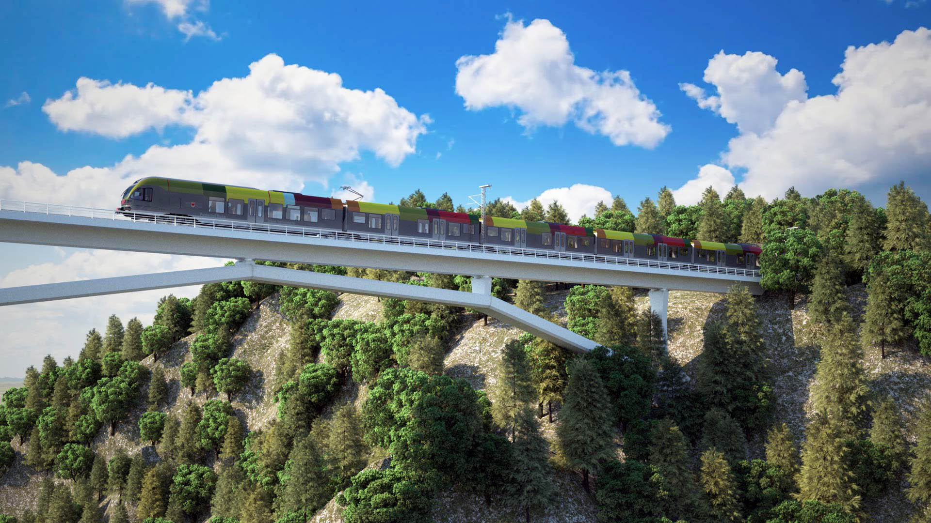
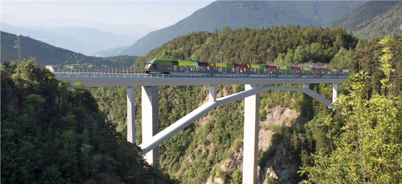
Plans are underway for a parallel metro line arch val di Riga railway bridge with a span of 172 meters for a bypass along the Ferrovia dell Val Pusteria that originally opened in 1871.
Planned crossing of the Isarco River on a bypass section of the Ferrovia dell Val Pusteria.
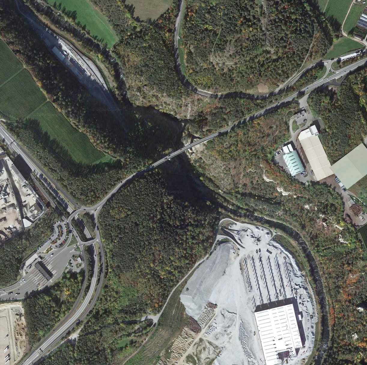
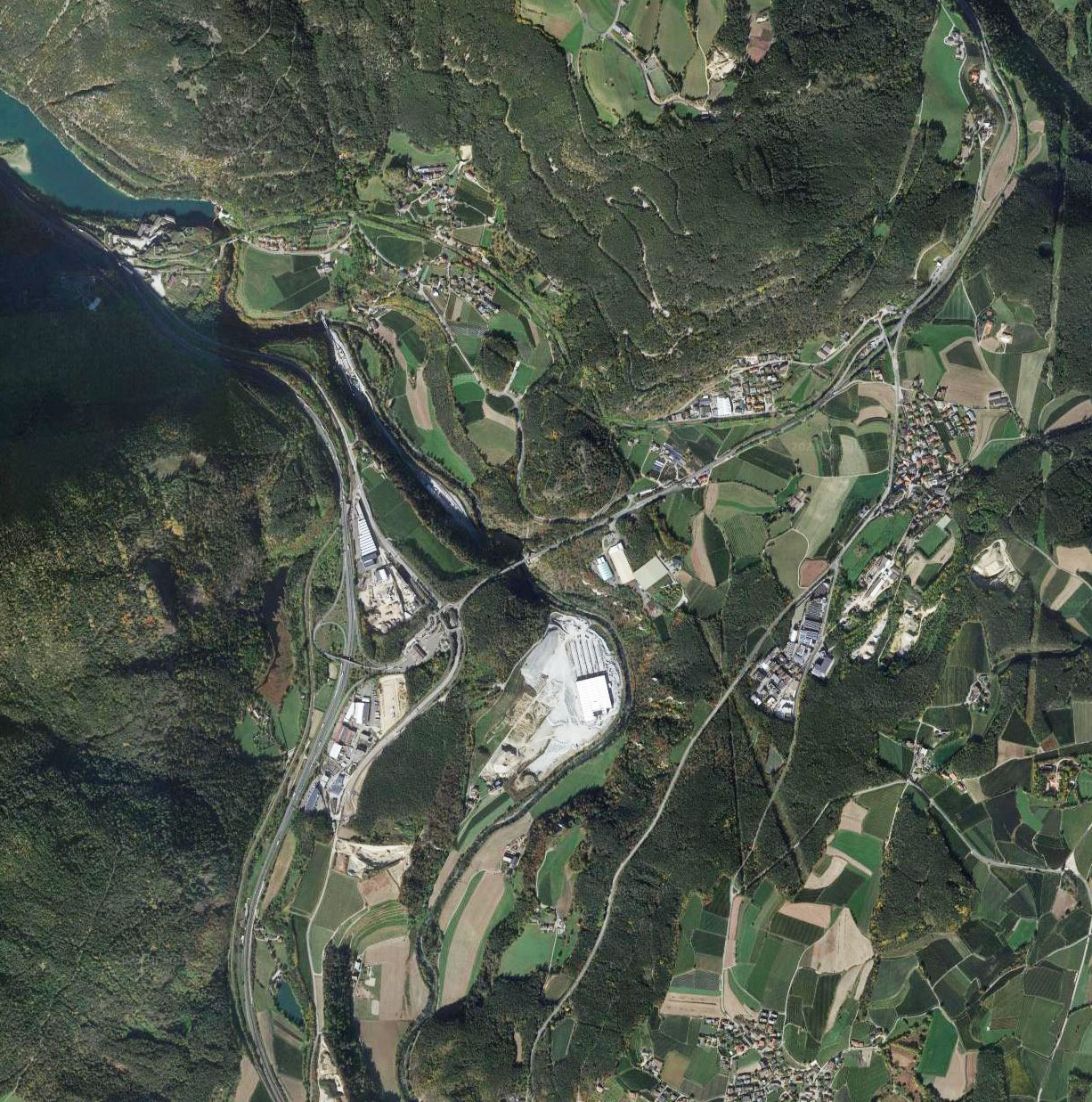
Val Pusteria Bridge satellite image.
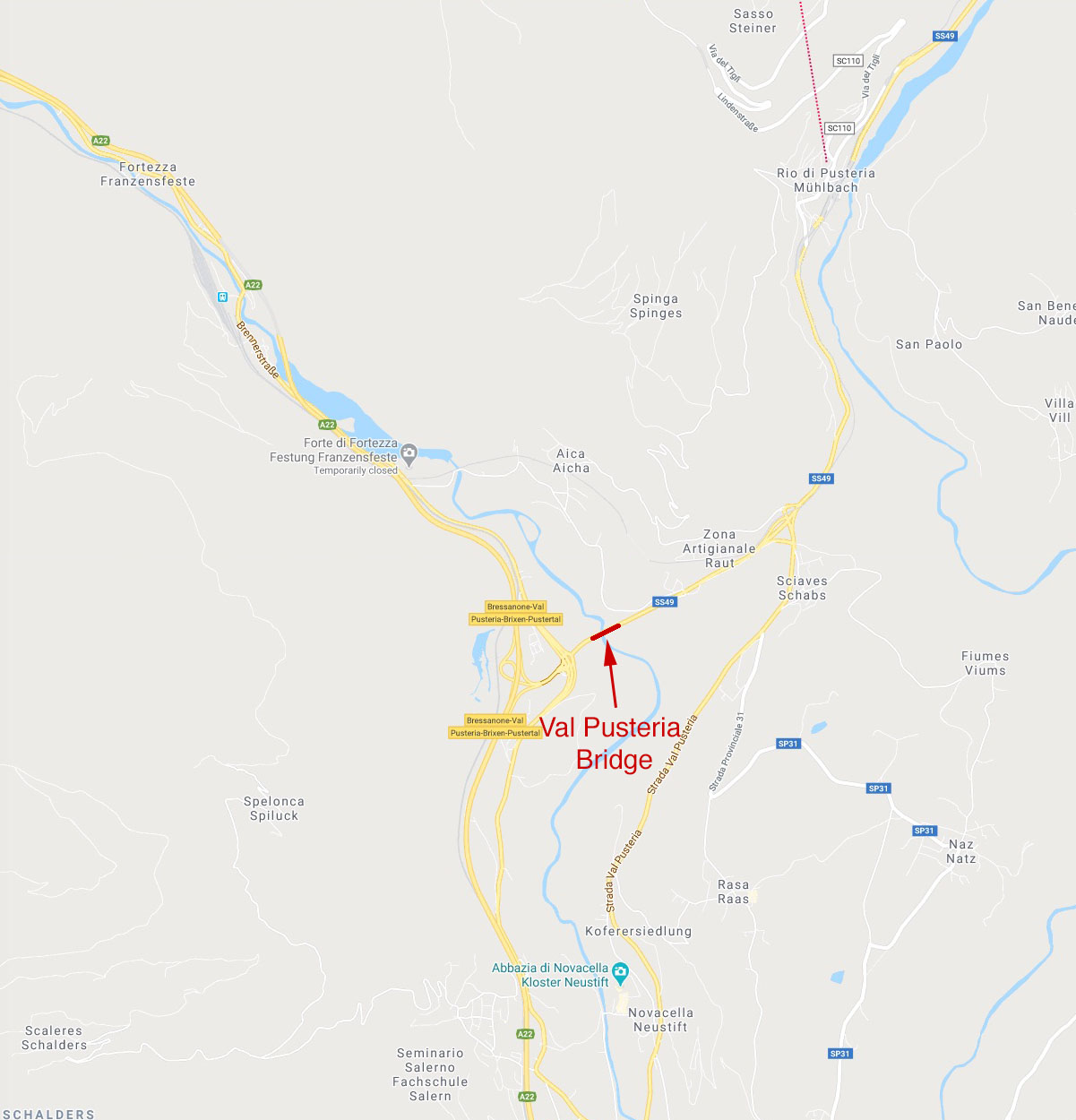
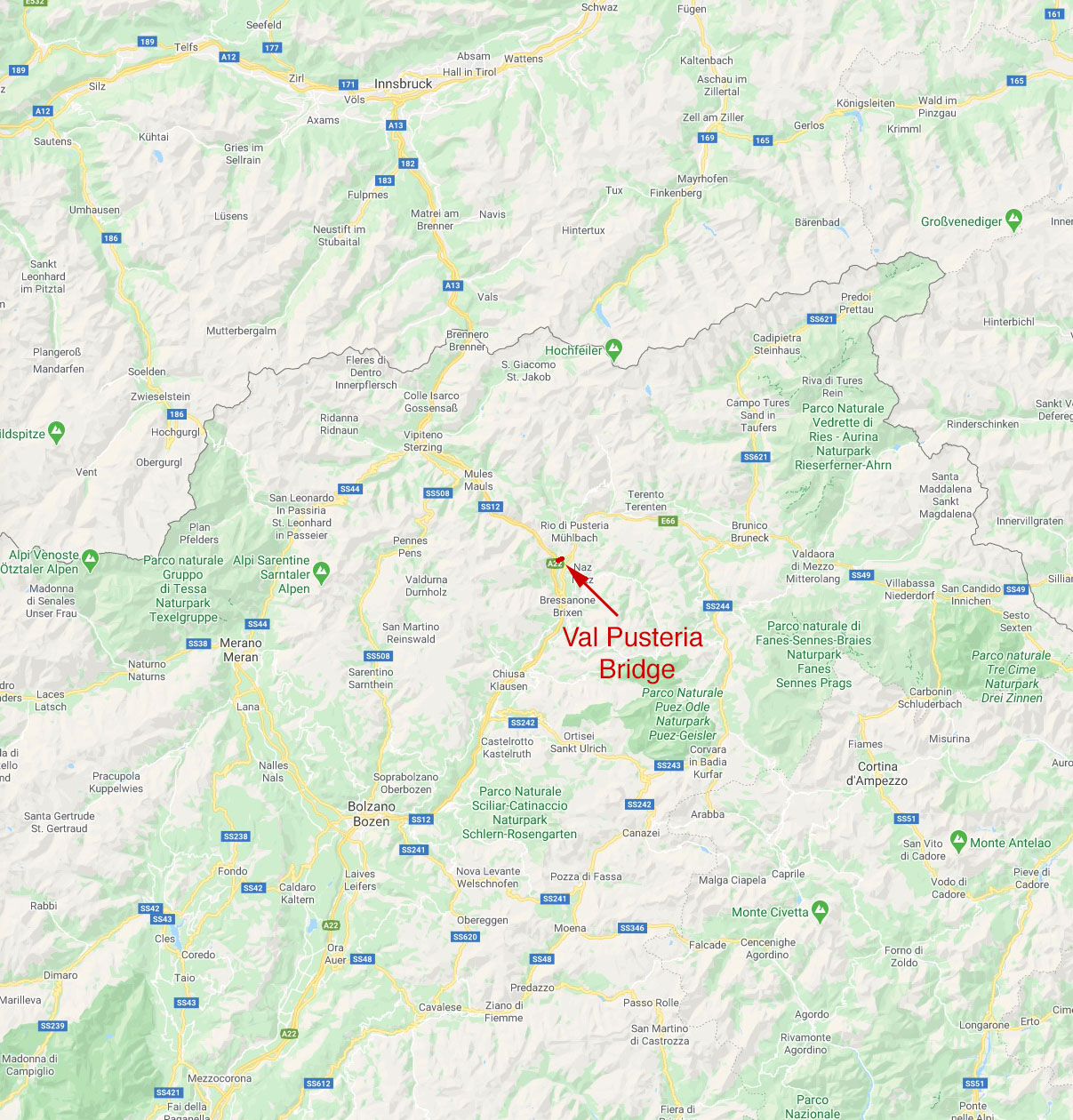
Val Pusteria Bridge location map.
