File:BalagezongGlassLocationMap.jpg
From HighestBridges.com
Jump to navigationJump to search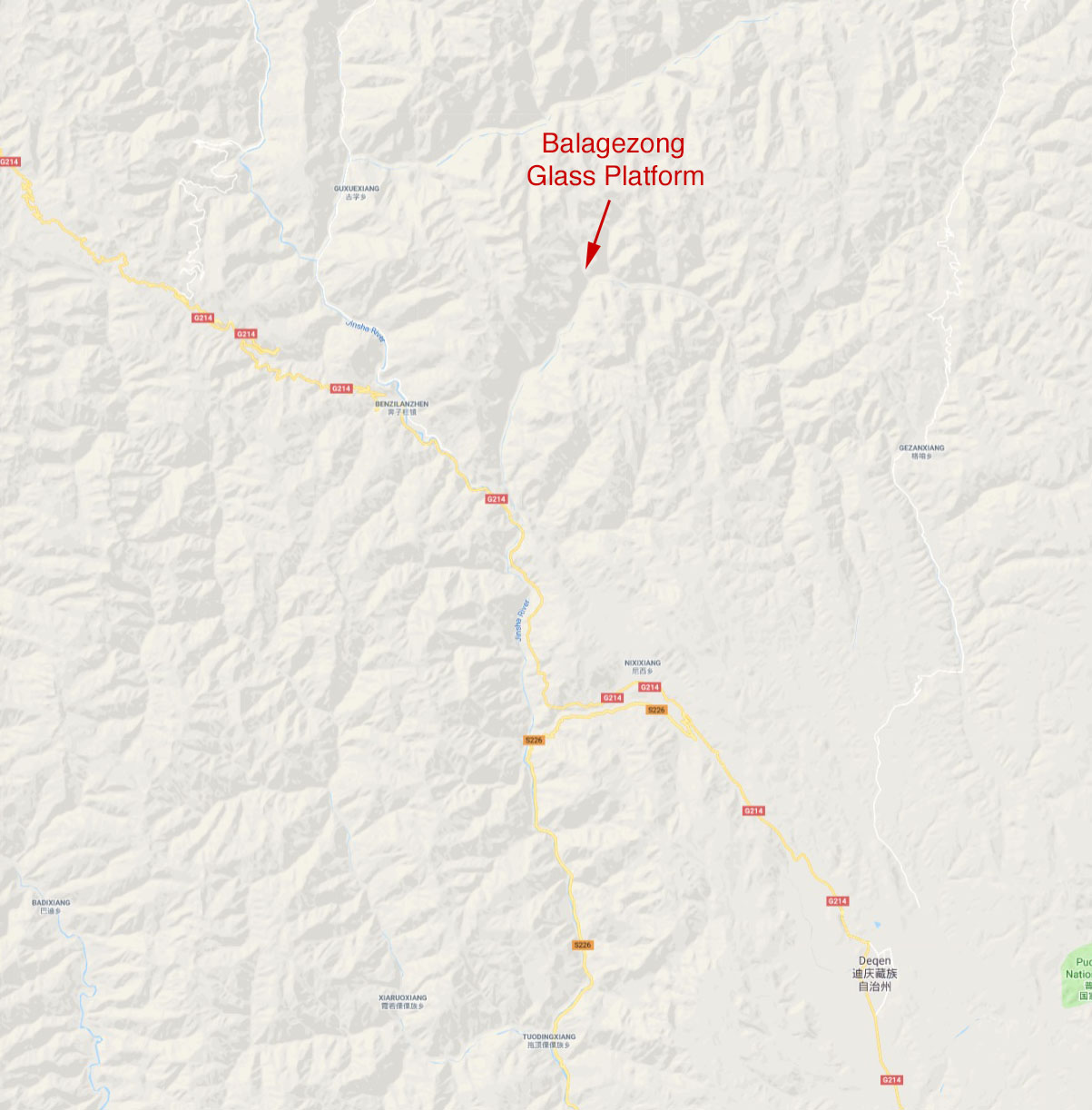
Size of this preview: 590 × 600 pixels. Other resolutions: 236 × 240 pixels | 1,203 × 1,223 pixels.
Original file (1,203 × 1,223 pixels, file size: 200 KB, MIME type: image/jpeg)
Balagezong Scenic Area Glass Platform location map.
File history
Click on a date/time to view the file as it appeared at that time.
| Date/Time | Thumbnail | Dimensions | User | Comment | |
|---|---|---|---|---|---|
| current | 05:32, 12 May 2019 | | 1,203 × 1,223 (200 KB) | Sakowski (talk | contribs) | Balagezong Scenic Area Glass Platform location map. |
You cannot overwrite this file.
File usage
The following page uses this file: