Difference between revisions of "San Pedro Analco Bridge"
| (8 intermediate revisions by the same user not shown) | |||
| Line 10: | Line 10: | ||
| − | Puente | + | The Puente San Pedro Analco is Mexico's tallest reservoir bridge. The narrow, 2-lane steel beam bridge became necessary from the construction of the massive La Yesca dam. The 208 meter high earth dam is the 2nd highest in Mexico and the 5th highest in North America. Inaugurated on November 6, 2012, the dam created a deep reservoir that inundated a local road that once crossed the Santiago River and was the only way to reach several small villages including San Pedro Analco. |
| − | + | ||
| − | The | + | The bridge is part of a complete upgrade to the local Hostotipaquillo-San Pedro Analco road with a length of 43 kilometers. When the reservoir was full at the end of 2012, the tall piers of the San Pedro Analco Bridge became hidden beneath water more then 100 meters deep. |
| − | + | ||
| − | + | The 342 meter long bridge has a span configuration 35.5 meters, 36 meters, 3 spans of 72 meters and one of 53.5 meters. The roadway is 6.6 meters wide with the total deck width measuring 7.5 meters. The steel beam spans are generally made up of sections 12 meters long. The 3 main spans each required 6 sections. | |
| Line 48: | Line 48: | ||
| − | [[File: | + | [[File:SanPedroAnalco&Reservoir.jpg|750px|center]] |
| − | + | ||
| + | |||
| + | [[File:SanPedroAnalcoBeam.jpg|750px|center]] | ||
| Line 66: | Line 68: | ||
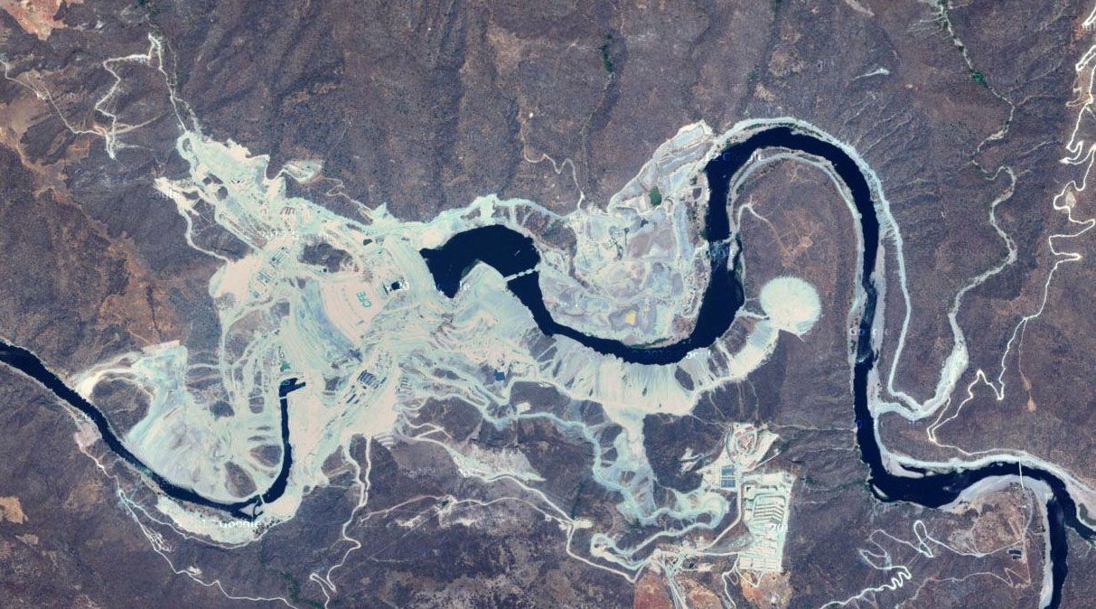
[[File:LaYescaDamSatellite.jpg|750px|center]] | [[File:LaYescaDamSatellite.jpg|750px|center]] | ||
La Yesca Dam satellite view before the reservoir formed. | La Yesca Dam satellite view before the reservoir formed. | ||
| + | |||
| + | |||
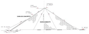
| + | [[File:PresaLaYesca.jpg|750px|center]] | ||
| + | Elevation view of the La Yesca Dam. | ||
| + | |||
| + | |||
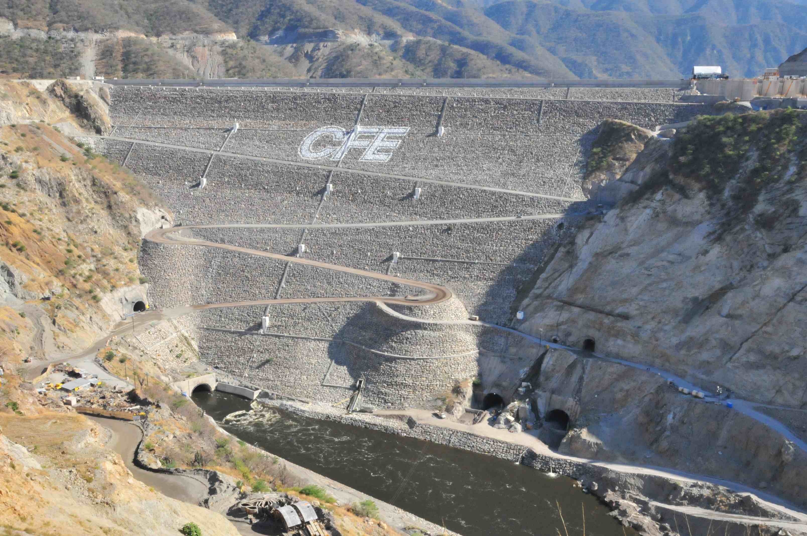
| + | [[File:LaYescaByNayarit.gob.jpg|750px|center]] | ||
| + | Image by Nayarit.gob.mx | ||
| + | |||
| + | |||
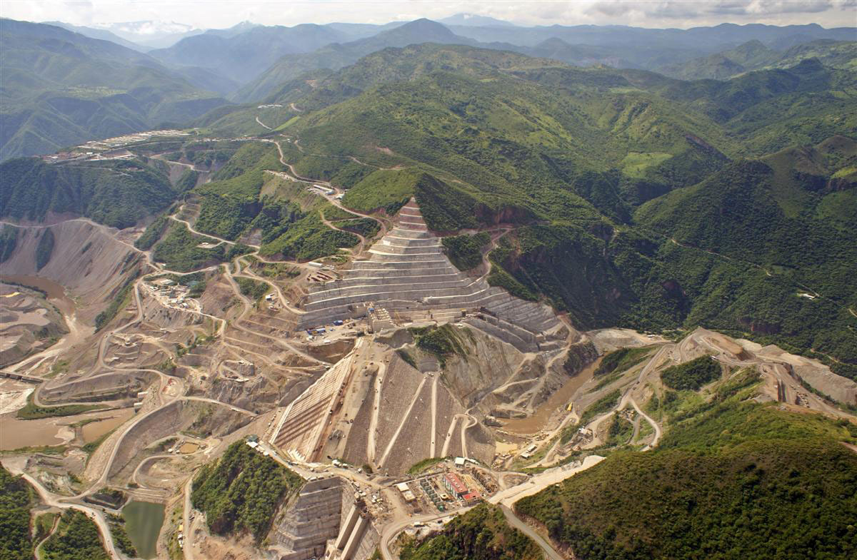
| + | [[File:LaYescaDamConstruction.jpg|750px|center]] | ||
| + | A construction view from September of 2011. | ||
| + | |||
| + | |||
| + | [[File:LaYescaByFederalista.jpg|750px|center]] | ||
| + | By late 2012 the reservoir was full. Image by Federalista. | ||
| + | |||
| + | |||
| + | [[File:LaYescaByObrasweb.jpg|750px|center]] | ||
| + | Image by Obrasweb. | ||
| + | |||
| + | |||
| + | [[File:LaYescaByRazon.jpg|1000px|center]] | ||
| + | La Yesca Dam information page by Razon. | ||
[[File:SanPedroAnalcoFullMap.jpg|750px|center]] | [[File:SanPedroAnalcoFullMap.jpg|750px|center]] | ||
| − | San Pedro Analco Bridge and La Yesca Dam location map northwest of Guadalajara. | + | San Pedro Analco Bridge and La Yesca Dam location map northwest of Guadalajara. The La Yesca dam will produce enough electricity to power approximately half the city of Guadalajara. |
[[Category:Bridges in Mexico]] | [[Category:Bridges in Mexico]] | ||
[[Category:Bridges in Durango, Mexico]] | [[Category:Bridges in Durango, Mexico]] | ||
Latest revision as of 04:17, 4 April 2013
San Pedro Analco Bridge
Puente San Pedro Analco
Magdalena, Jalisco, Mexico
394 feet high / 120 meters high
236 foot span / 72 meter span
2012
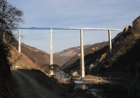
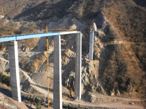
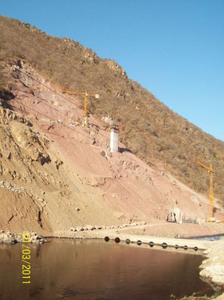
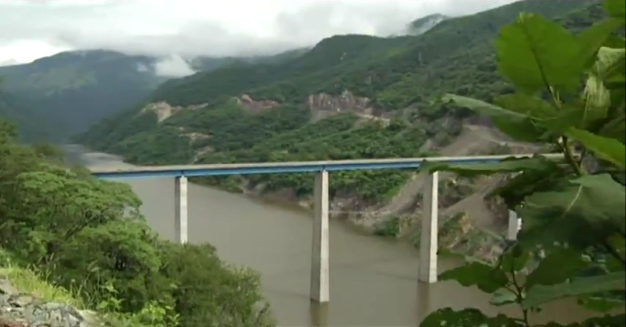
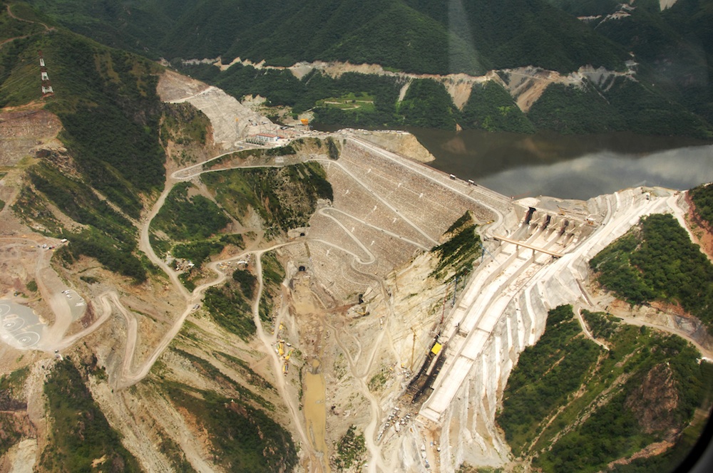
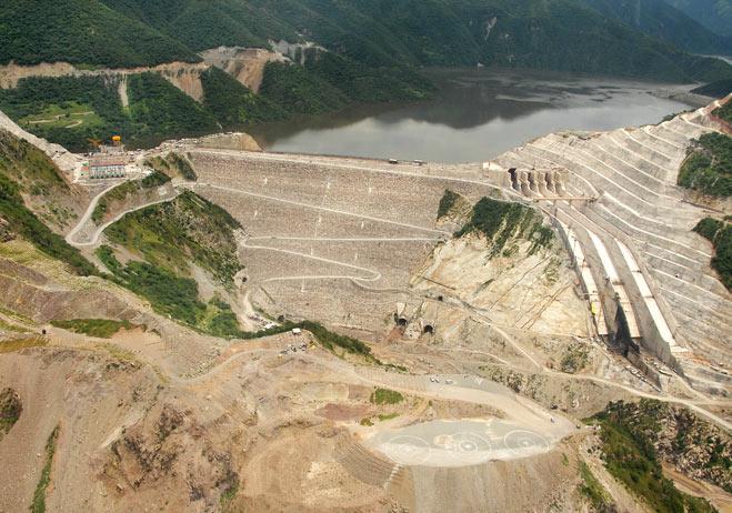
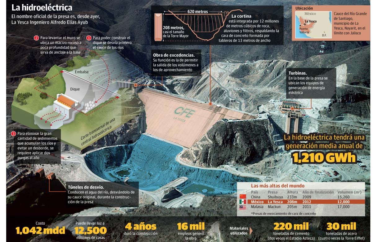
The Puente San Pedro Analco is Mexico's tallest reservoir bridge. The narrow, 2-lane steel beam bridge became necessary from the construction of the massive La Yesca dam. The 208 meter high earth dam is the 2nd highest in Mexico and the 5th highest in North America. Inaugurated on November 6, 2012, the dam created a deep reservoir that inundated a local road that once crossed the Santiago River and was the only way to reach several small villages including San Pedro Analco.
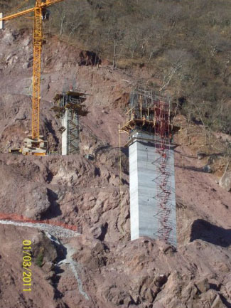
The bridge is part of a complete upgrade to the local Hostotipaquillo-San Pedro Analco road with a length of 43 kilometers. When the reservoir was full at the end of 2012, the tall piers of the San Pedro Analco Bridge became hidden beneath water more then 100 meters deep.
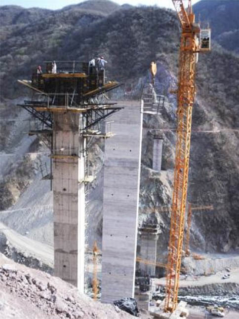
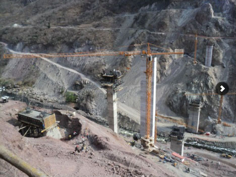
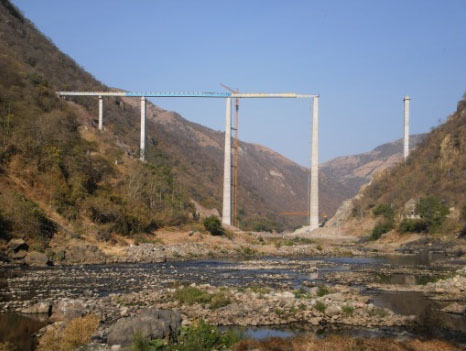
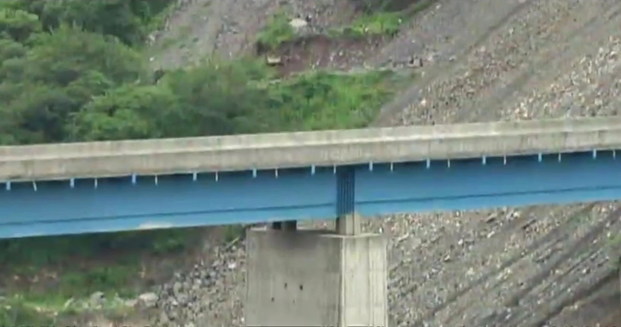
The 342 meter long bridge has a span configuration 35.5 meters, 36 meters, 3 spans of 72 meters and one of 53.5 meters. The roadway is 6.6 meters wide with the total deck width measuring 7.5 meters. The steel beam spans are generally made up of sections 12 meters long. The 3 main spans each required 6 sections.
Image by Grupo Insa.
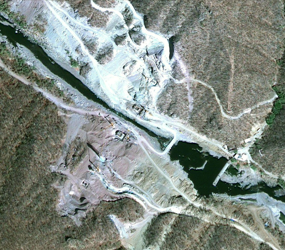
San Pedro Analco Bridge satellite view.
San Pedro Analco Bridge satellite view.
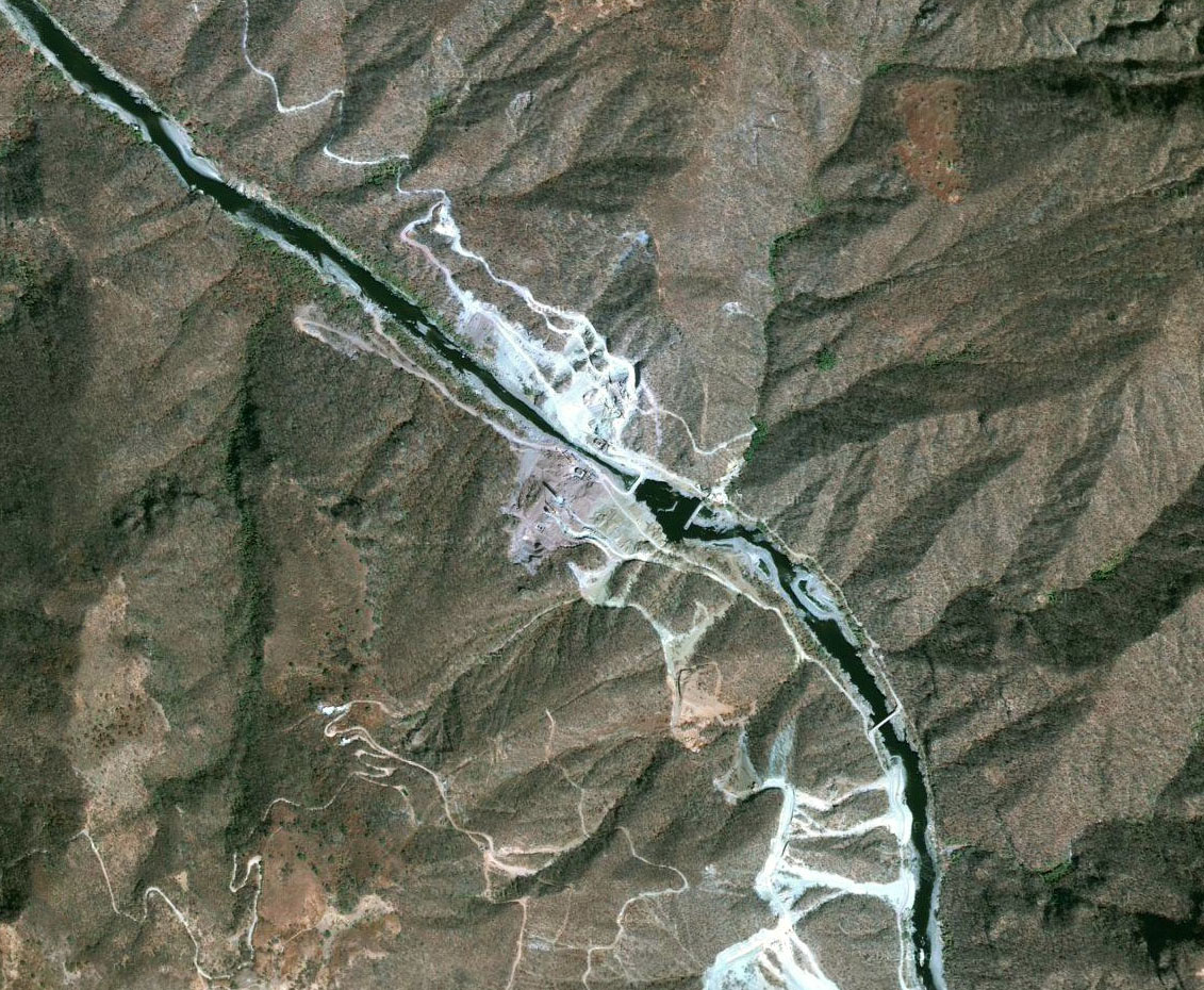
San Pedro Analco Bridge and La Yesca Dam satellite view.
La Yesca Dam satellite view before the reservoir formed.
Elevation view of the La Yesca Dam.
Image by Nayarit.gob.mx
A construction view from September of 2011.
By late 2012 the reservoir was full. Image by Federalista.
Image by Obrasweb.
La Yesca Dam information page by Razon.
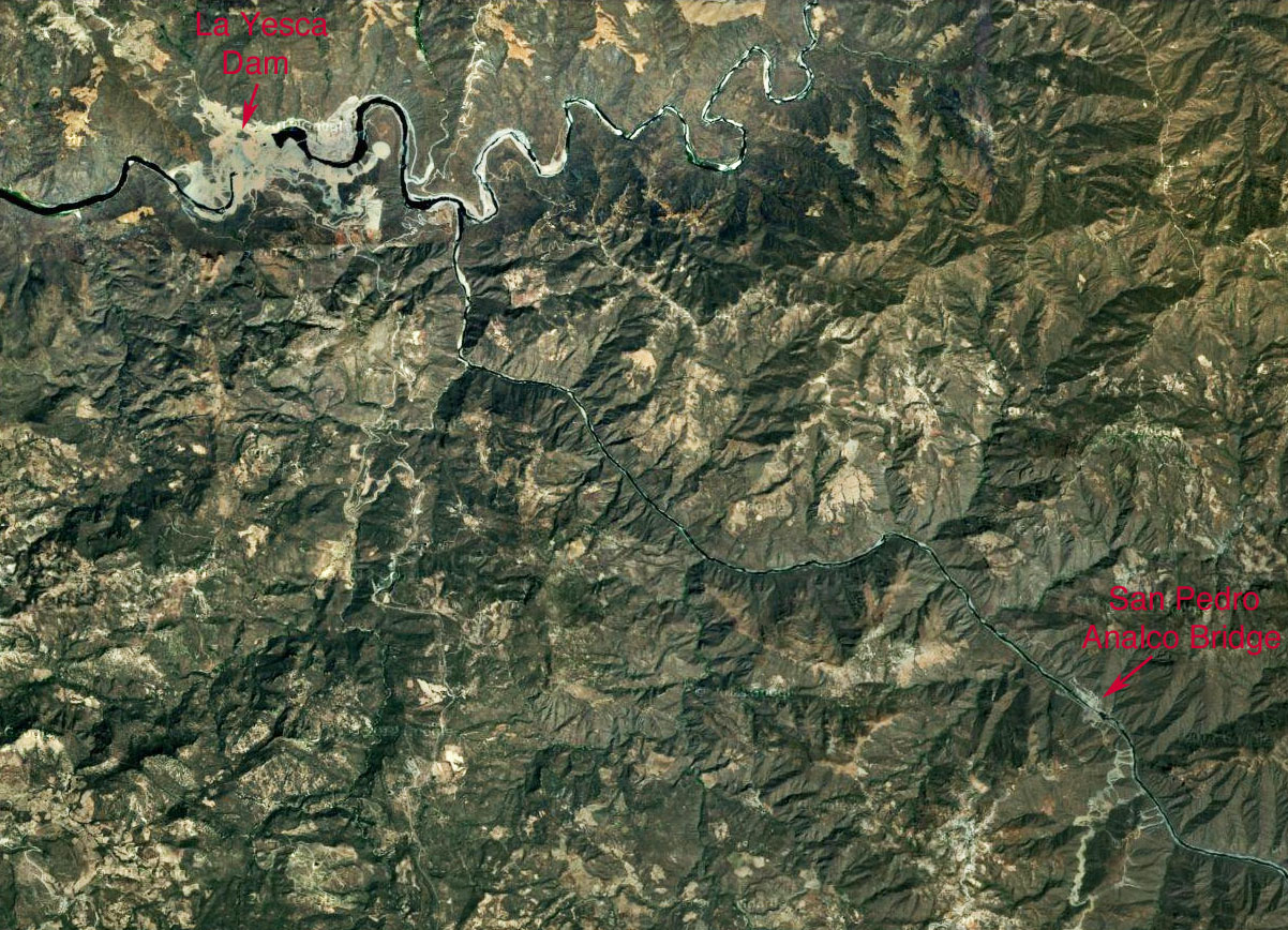
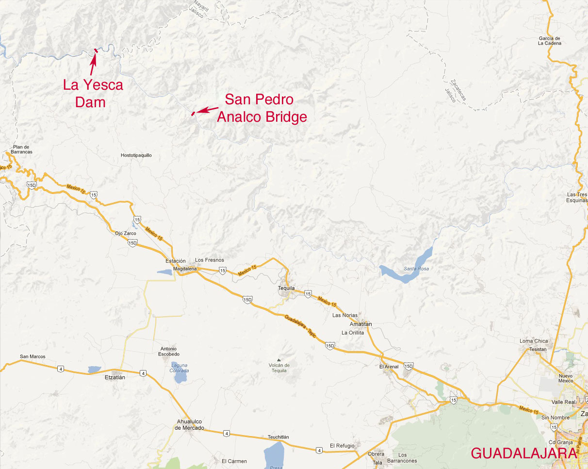
San Pedro Analco Bridge and La Yesca Dam location map northwest of Guadalajara. The La Yesca dam will produce enough electricity to power approximately half the city of Guadalajara.
