Chatelet Bridge
Chatelet Bridge
Pont Chatelet
Saint Paul-sur-Ubaye, Alpes-Côte d'Azur, France
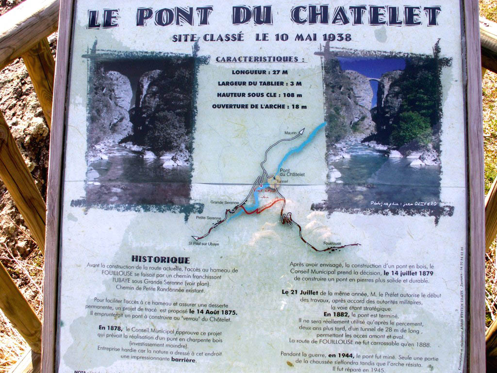
354 feet high / 108 meters high
59 foot span / 18 meter span
1882
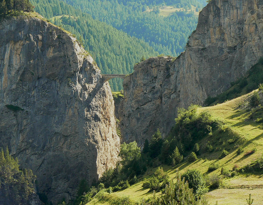
Image by Jacques Gré.
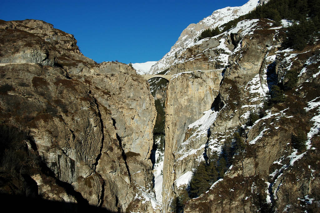
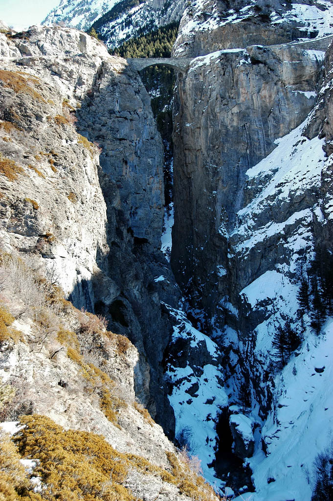
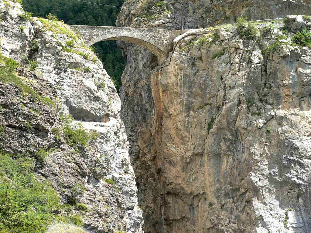
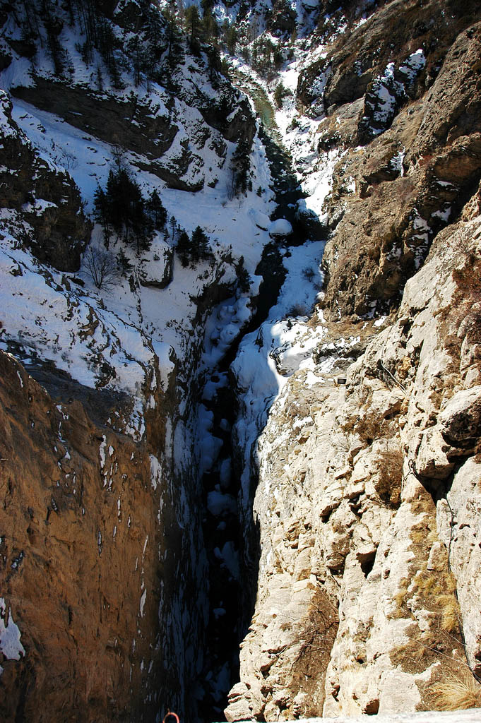
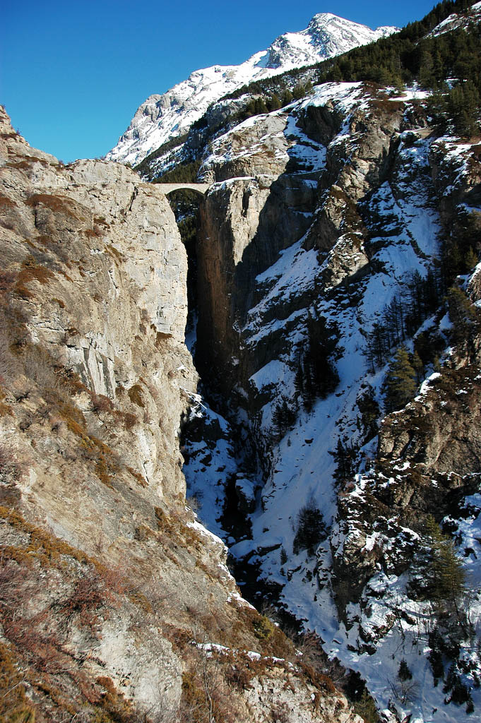
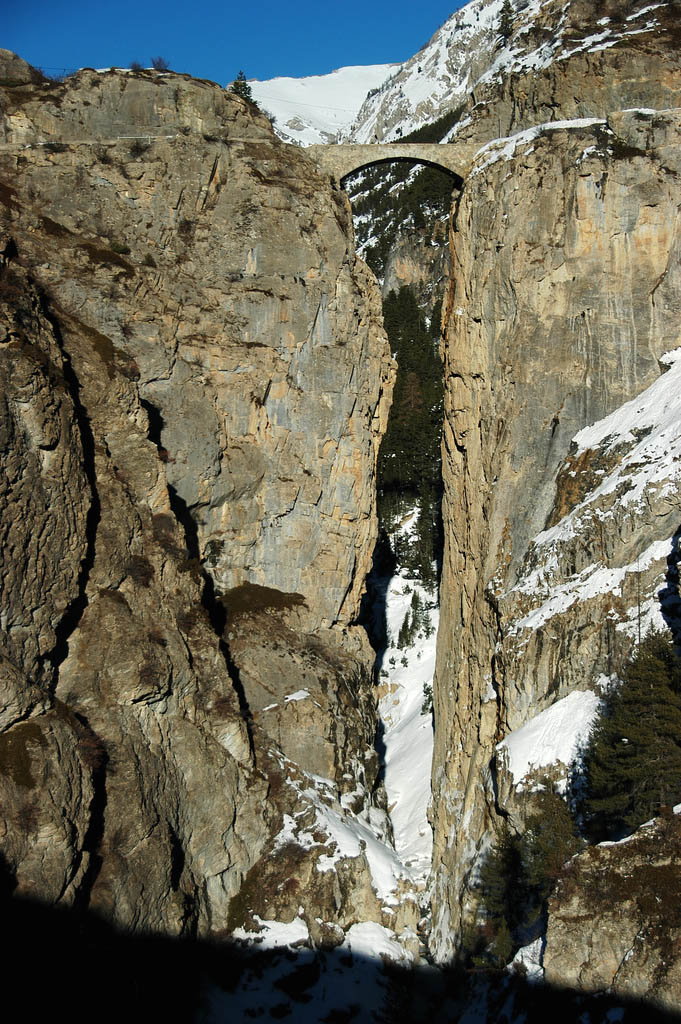
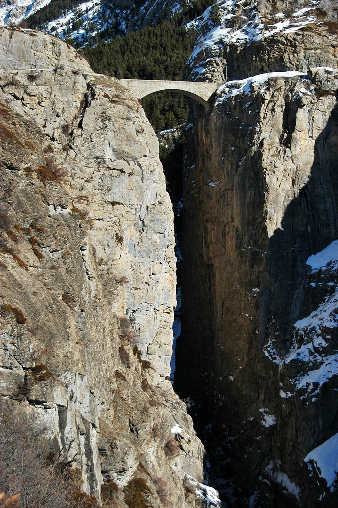
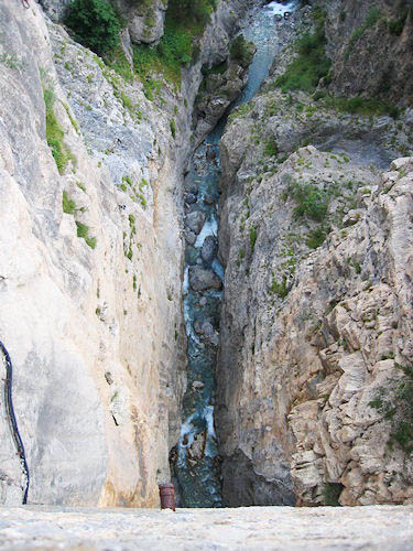
Pont Chatelet has the unique distinction of having the second greatest height to span ratio of any of the world’s 1,000 or so highest bridges after the Zhangjiajie Footbridge in China. Like an image straight out of a fairy tale, the stone arch connects two cliffs that drop into a seemingly bottomless chasm. Reported to be 354 feet (108 mtrs) deep, the height is at least 6 times as great as the arch span. It is rare for a bridge to have a height even double its span length let alone 6 times as great! Completed in 1882, the bridge crosses the Ubaye river in the Alpes-Côte d'Azur region of France near the Italian border.
The Pont Chatelet is also special as it was not only the highest arch bridge in the world at the time of its completion but the second highest bridge of any kind after the Charles Albert bridge - also in France. Two years later, the French would open the Garabit viaduct making it the only time in history that the world’s 3 highest bridges were all within one country. That feat was repeated again in 2009 when China finally opened the Balinghe and Siduhe bridges which joined the Beipanjiang 2003 bridge as the world’s 3 highest. (Assuming you don’t count the Hegigio Gorge Pipeline span as a bridge).
Image by Jacques Gré.
Image by Valter Manetta, Italy.
Image by Jacques Gré.
Image by *cerise* / Christine.
Image by Jacques Gré.
Image by Jacques Gré.
Image by Jacques Gré.
Image by Jacques GRASSET-GOTHON.
Image by Gaëlle Schilles.
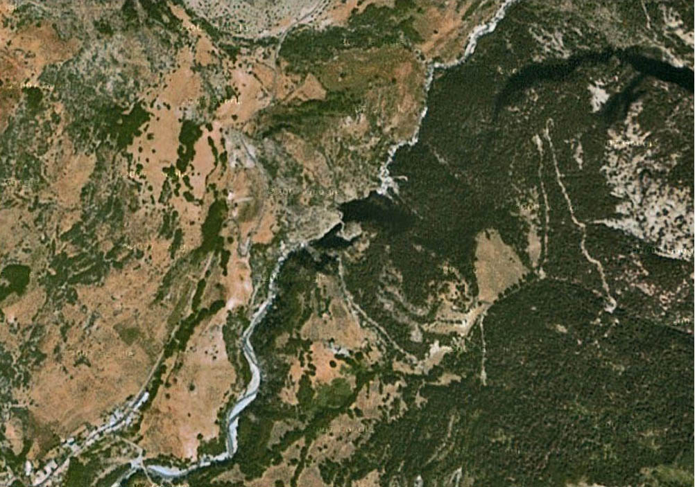
Chatelet Bridge satellite image.
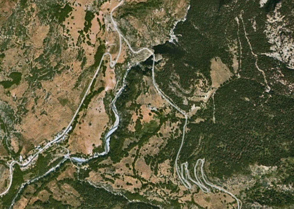
Chatelet Bridge satellite image with roads drawn in.
