Difference between revisions of "File:12ChateletMapAerial.jpg"
From HighestBridges.com
Jump to navigationJump to search (Chatelet Bridge satellite image and map.) |
|||
| Line 1: | Line 1: | ||
| − | Chatelet Bridge satellite image | + | Chatelet Bridge satellite image with road lines drawn in. |
Latest revision as of 02:18, 14 November 2009
Chatelet Bridge satellite image with road lines drawn in.
File history
Click on a date/time to view the file as it appeared at that time.
| Date/Time | Thumbnail | Dimensions | User | Comment | |
|---|---|---|---|---|---|
| current | 02:17, 14 November 2009 | 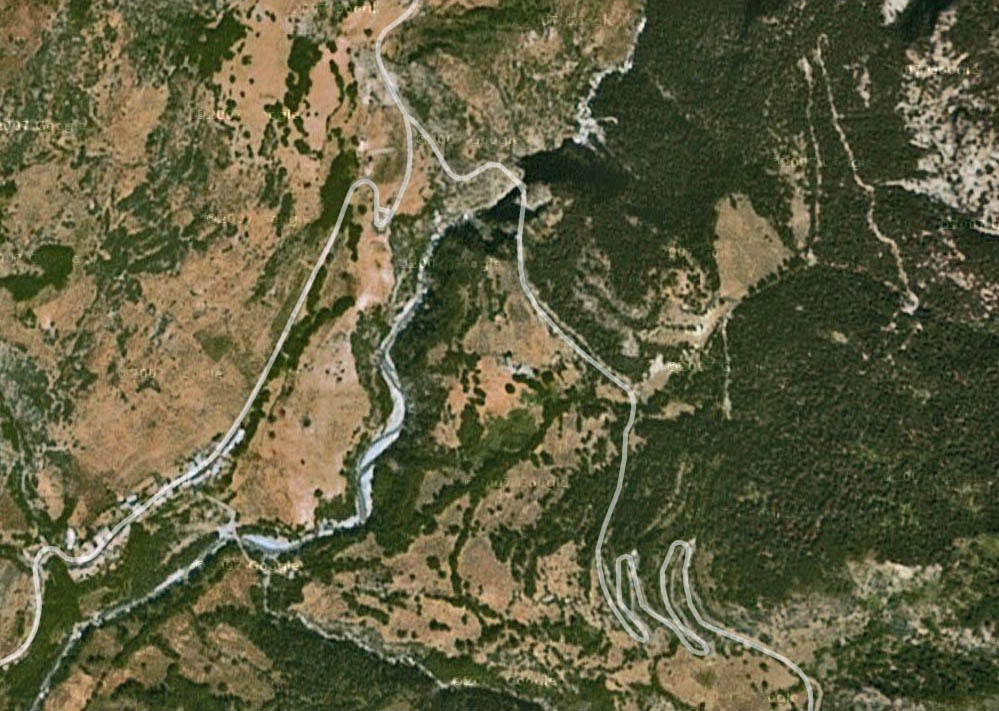 | 999 × 711 (189 KB) | Sakowski (talk | contribs) | Chatelet Bridge satellite image and map. |
You cannot overwrite this file.
File usage
The following page uses this file: