Mashuihe Bridge
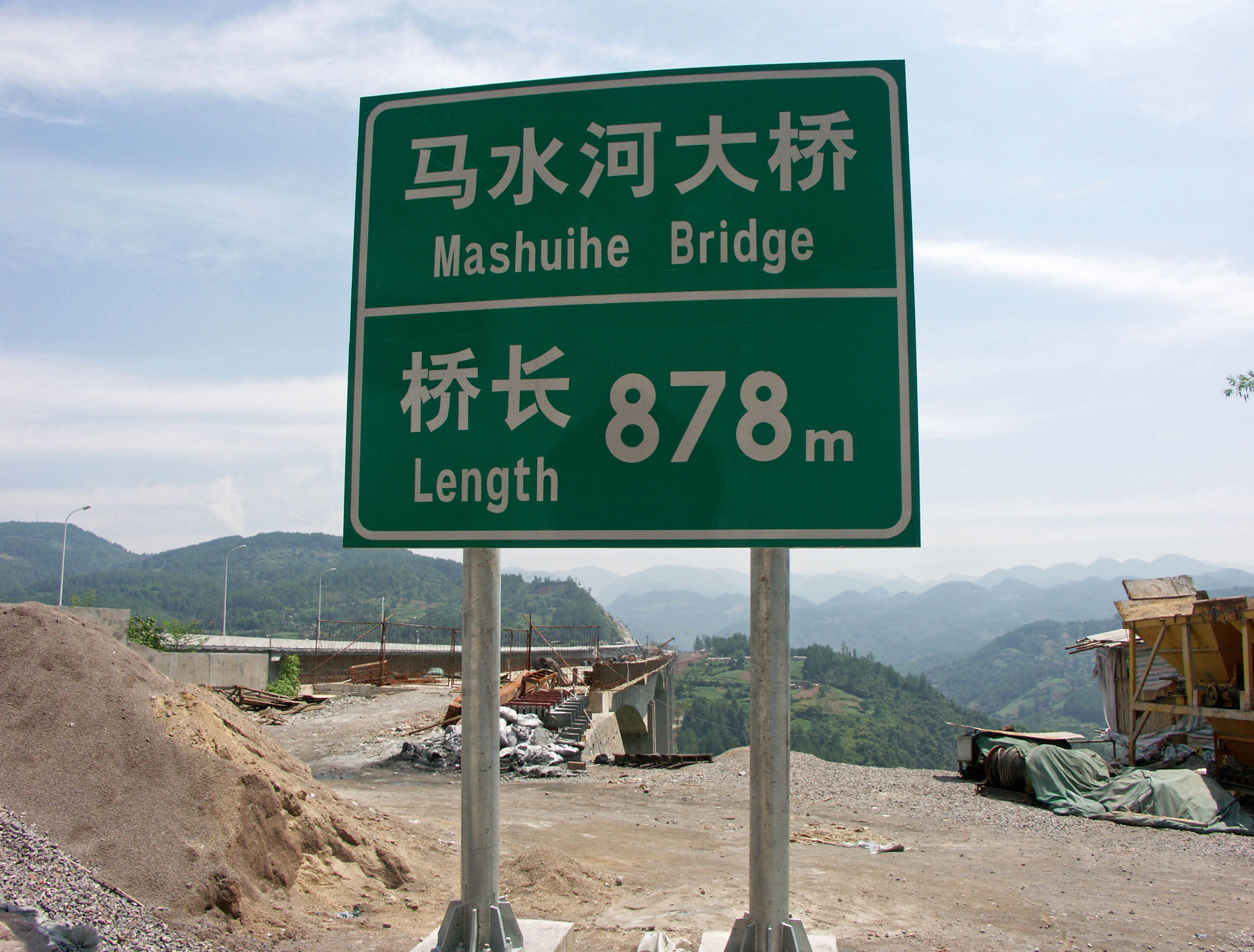
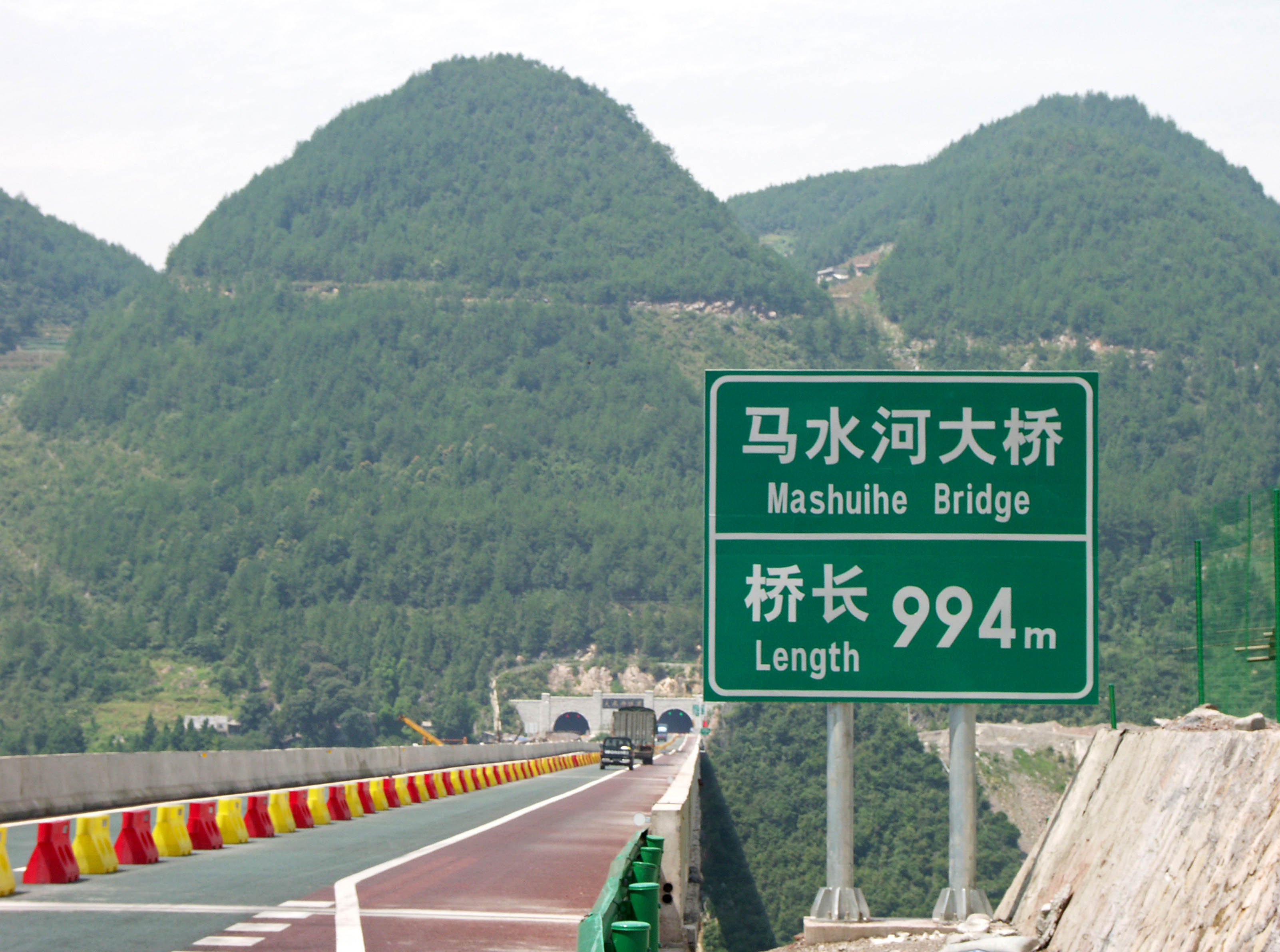
Mashuihe Bridge
马水河特大桥
Baiyangpingxiang, Hubei, China
720 feet high / 219 meters high
656 foot span / 200 meter span
2008
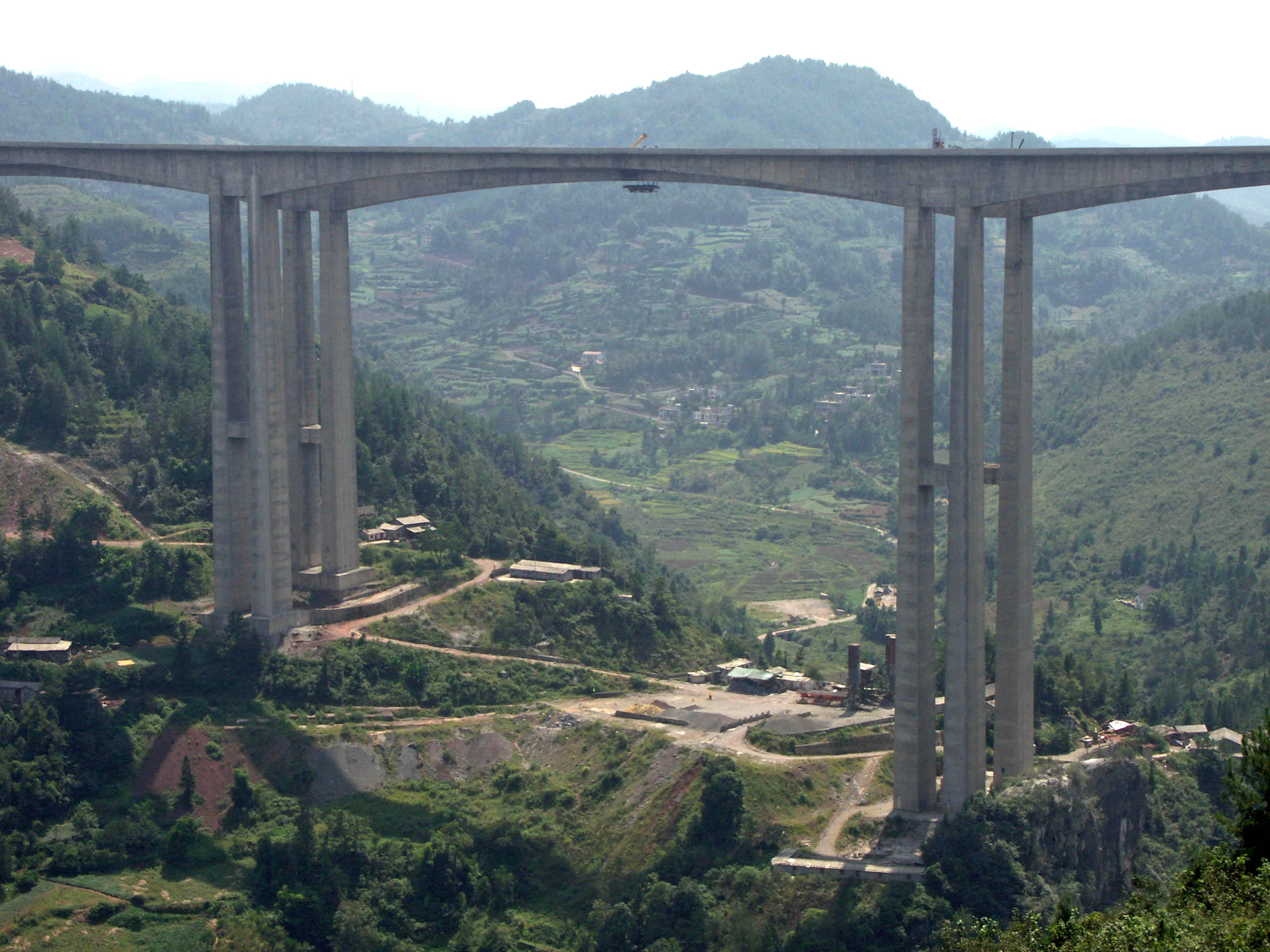
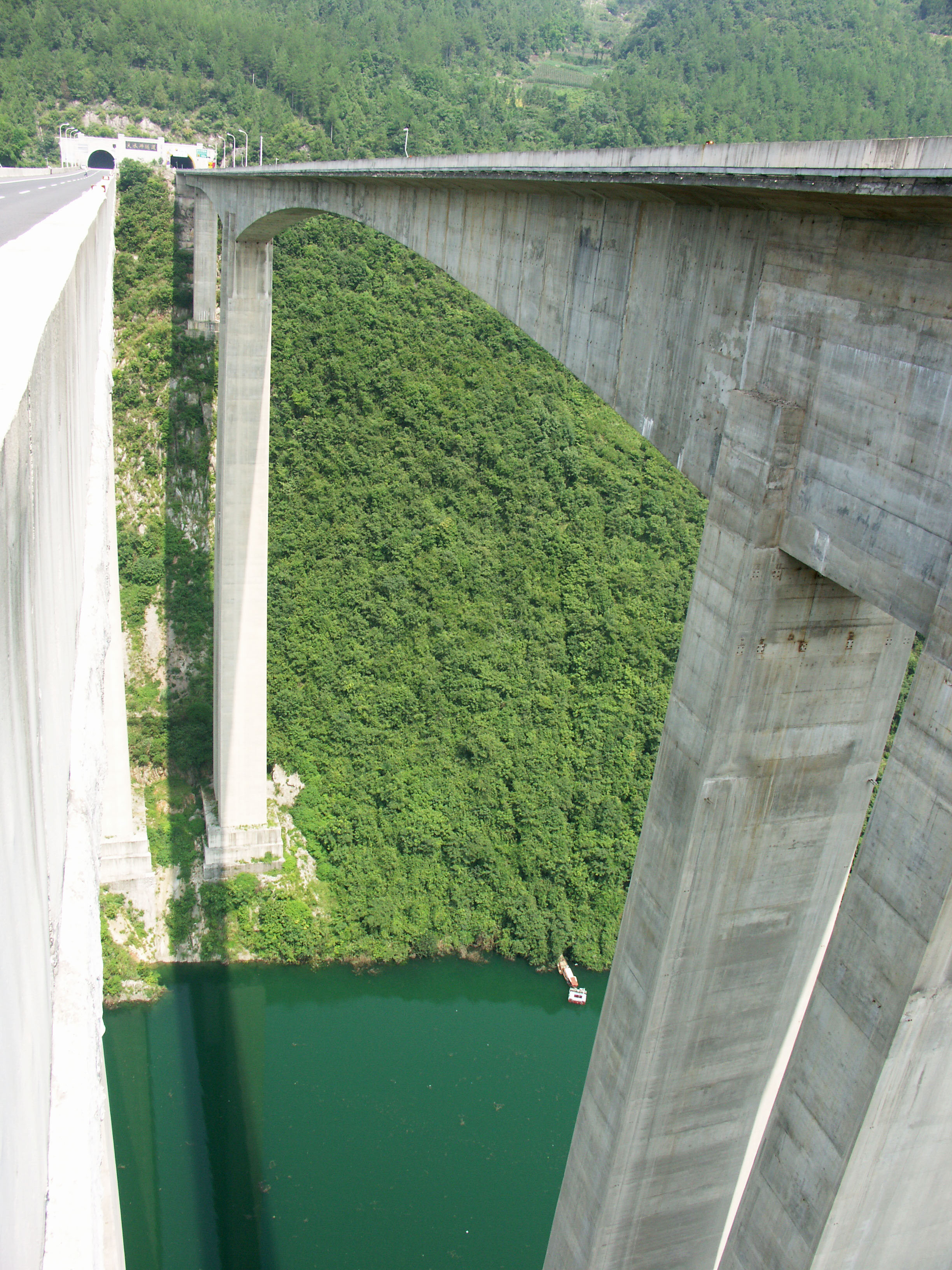
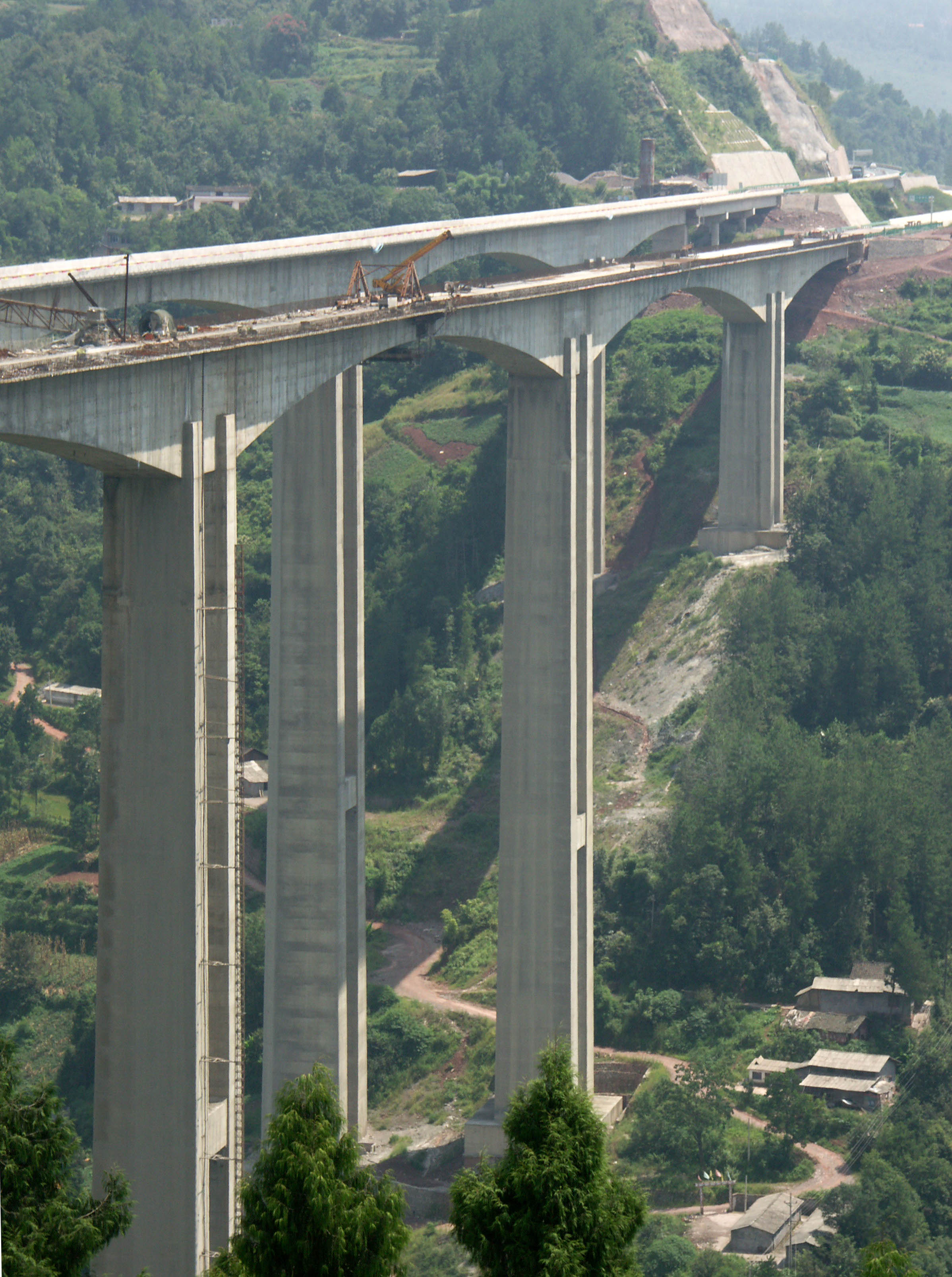
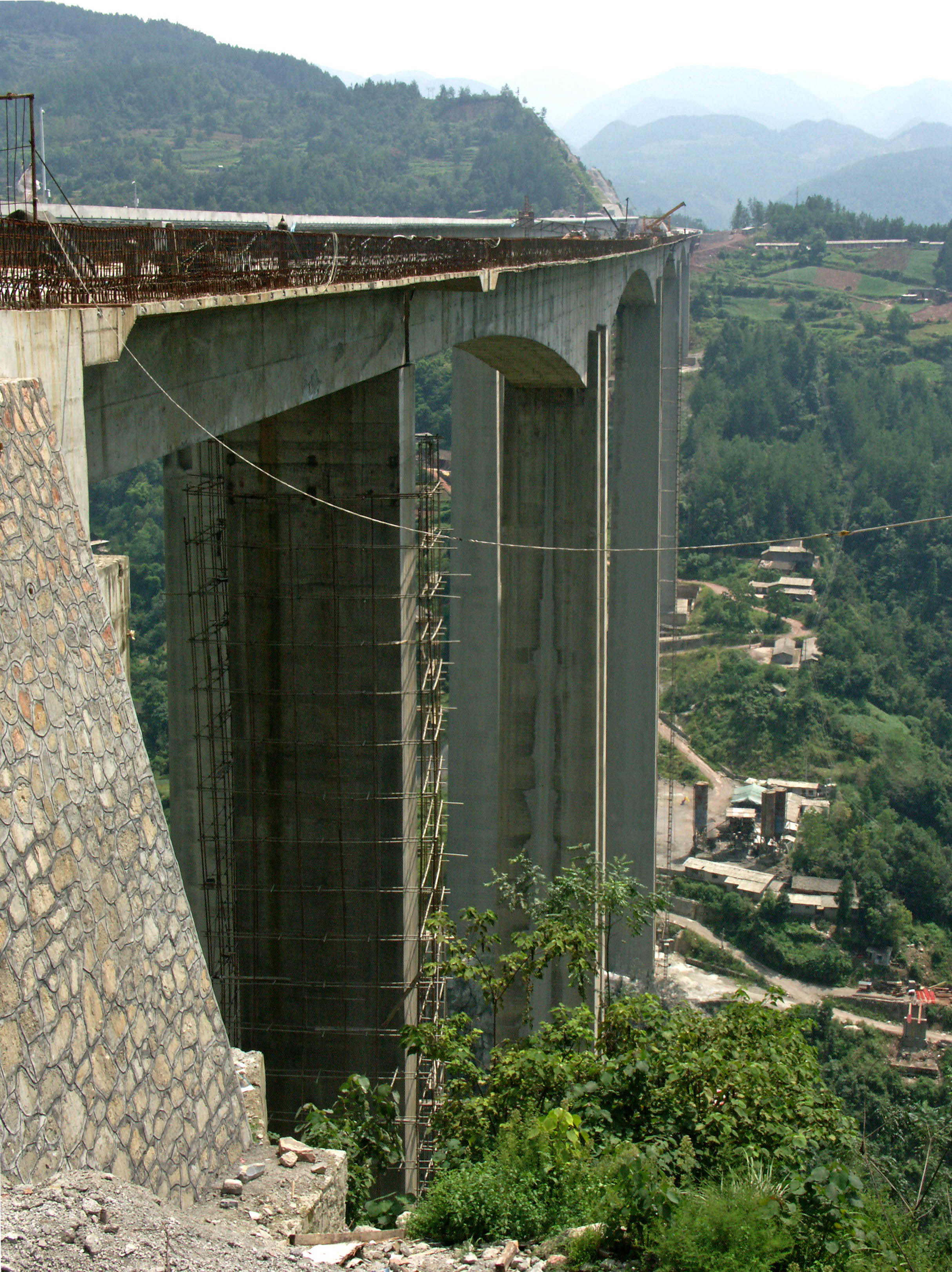
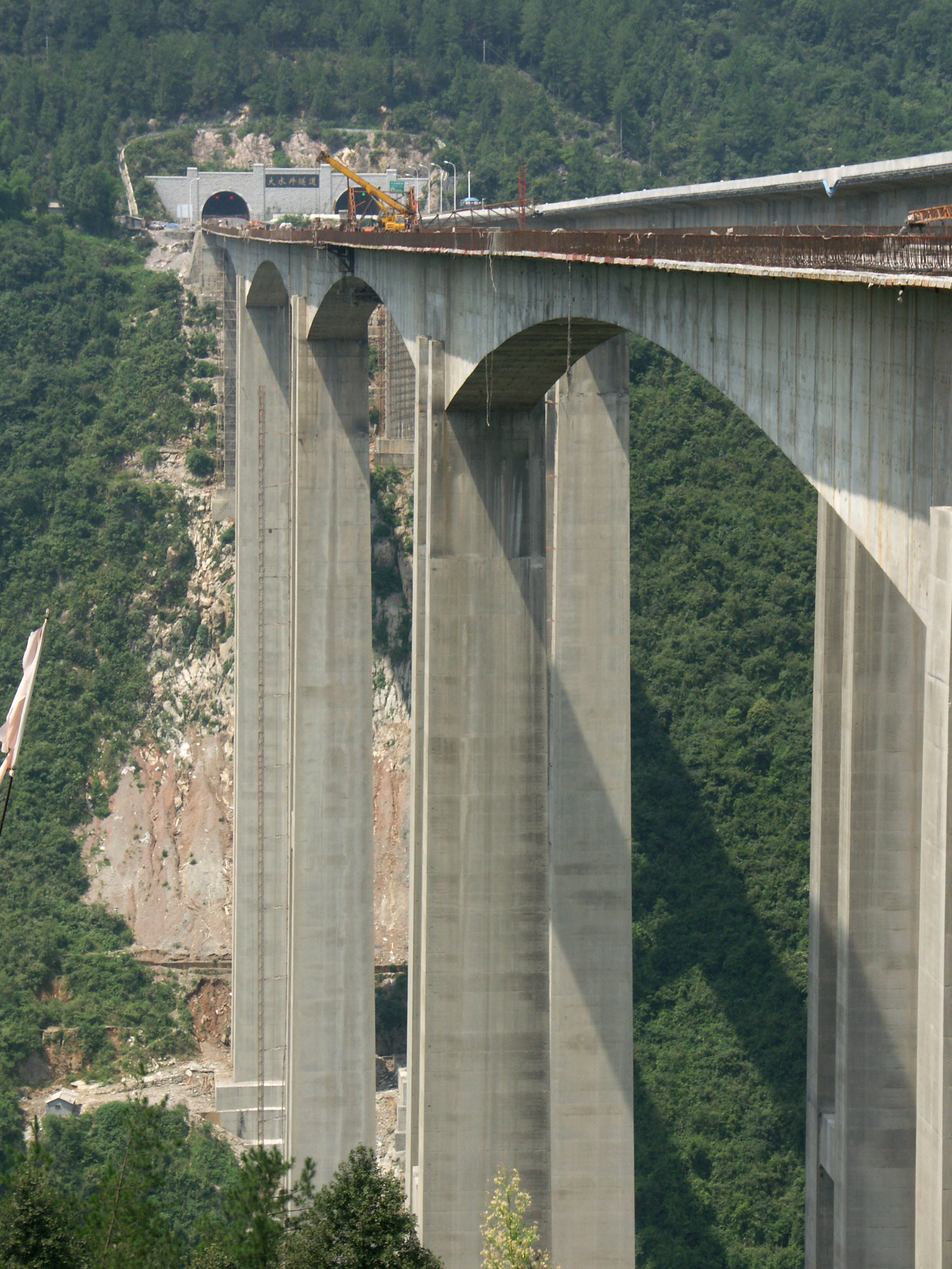
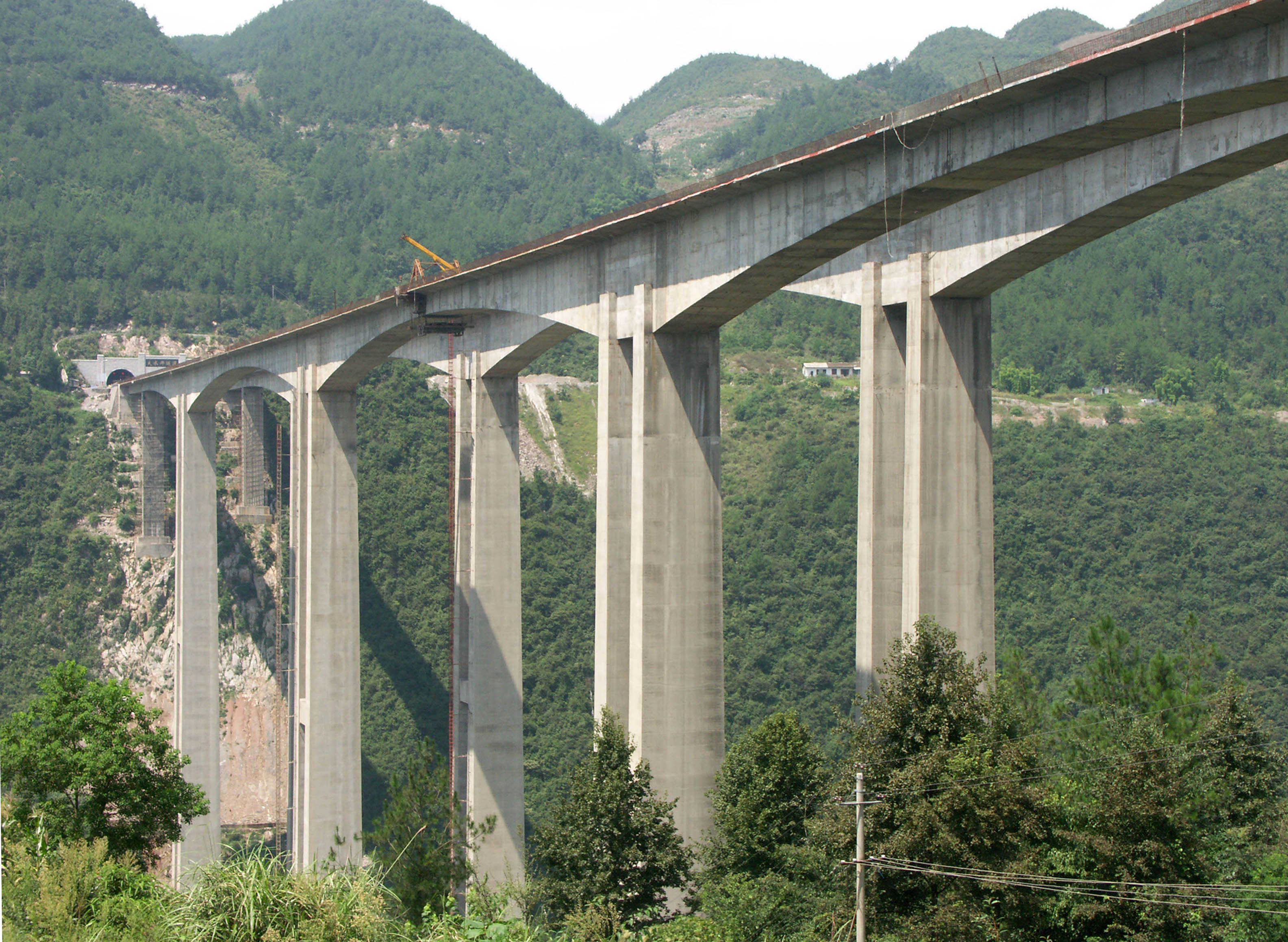
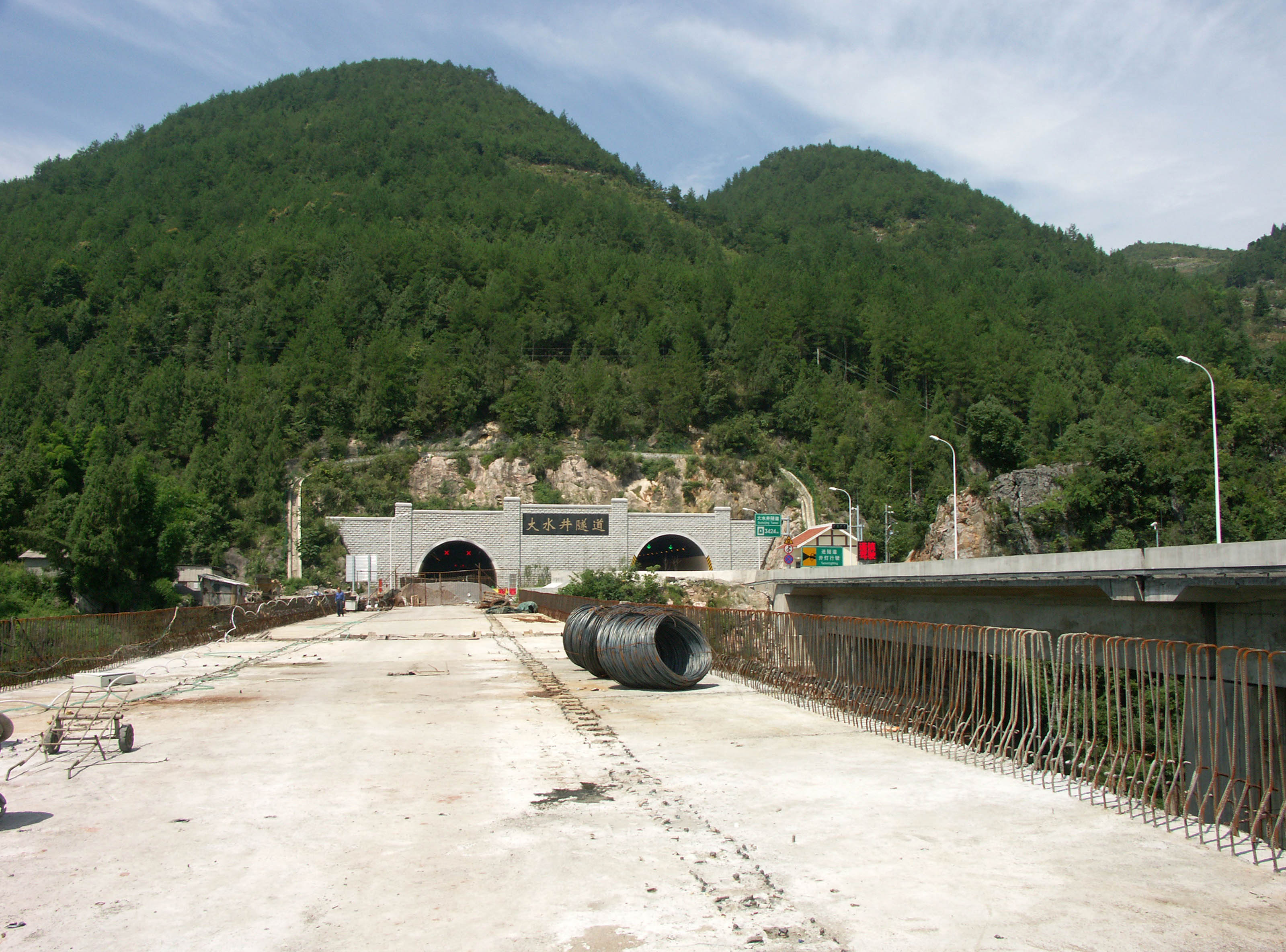
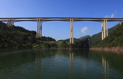
One of the highest beam bridge 'viaducts' in the world, Mashuihe is one of ten incredibly high bridges along the last 300 mile (483 km) link of the 1,350 mile (2,175 km) long G50 Shanghai-Chongqing Expressway that now connects Shanghai on the Pacific coast with the cities of Chongqing and Chengdu in the west. Beginning in Yichang near the 3 Gorges dam in the east and extending to the city of Zhongxian in the west, this 4-lane engineering marvel has more than half a dozen spectacular bridges that exceed 500 feet (150 meters) in height including Zhijinghe, one of the 5 highest roadway arch bridge in the world and Siduhe, on3 or the 5 highest suspension bridges in the world. This more direct route bypasses one of the toughest and most mountainous stretches of the Yangtze River. What once took more than a day of travel on dangerous mountain roads or a Yangtze River boat can now be safely traversed in 5 hours.
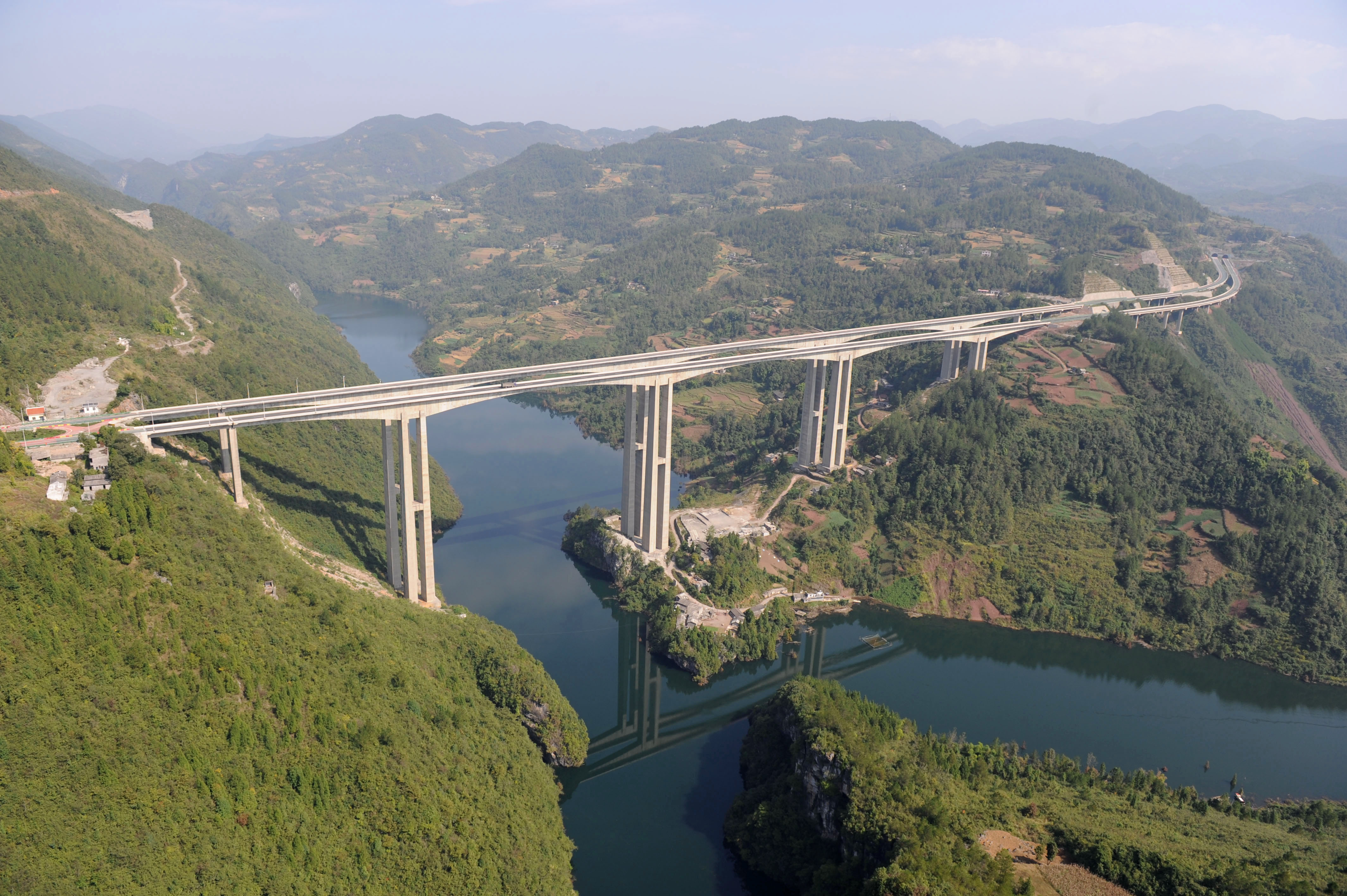
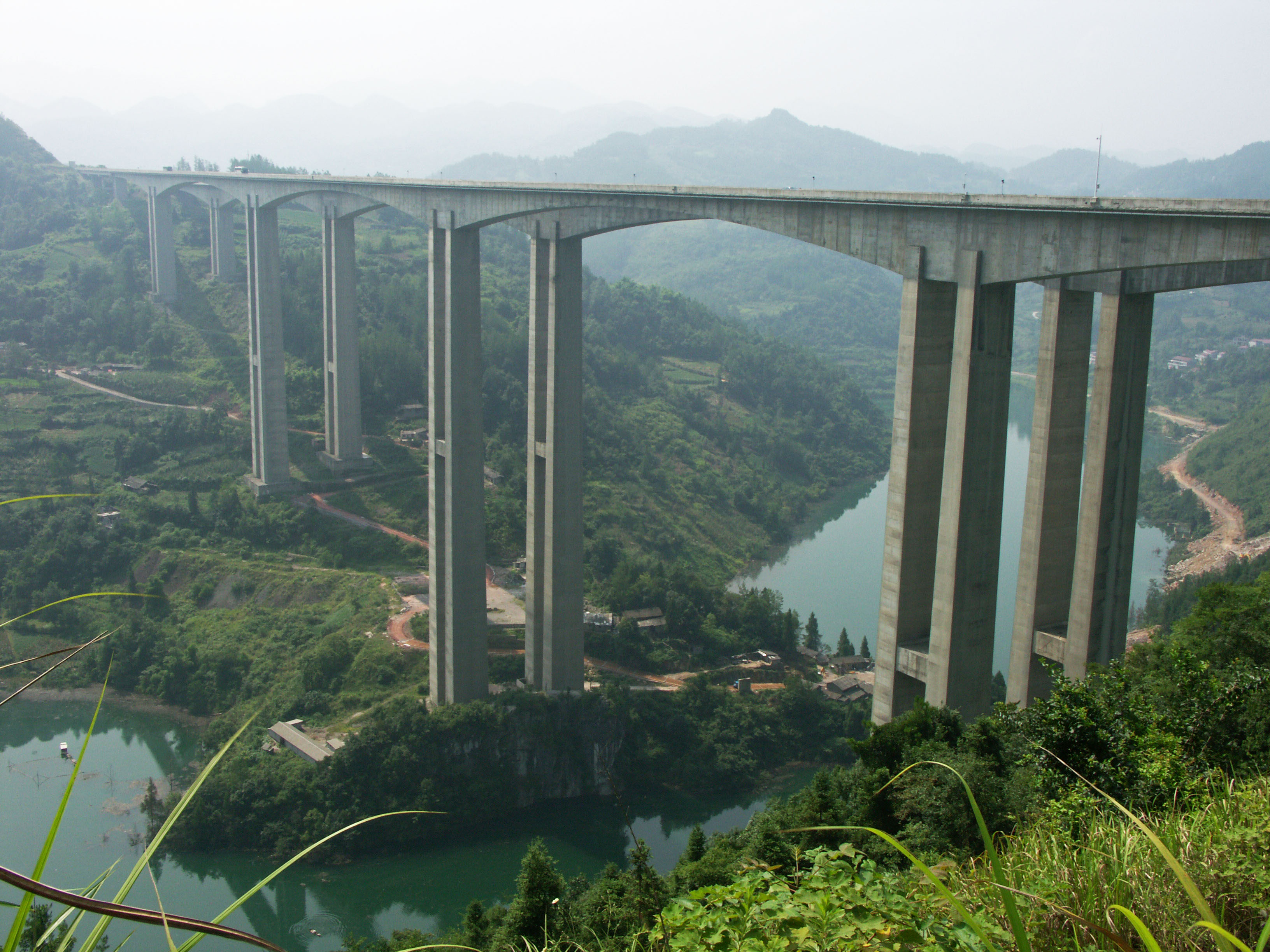
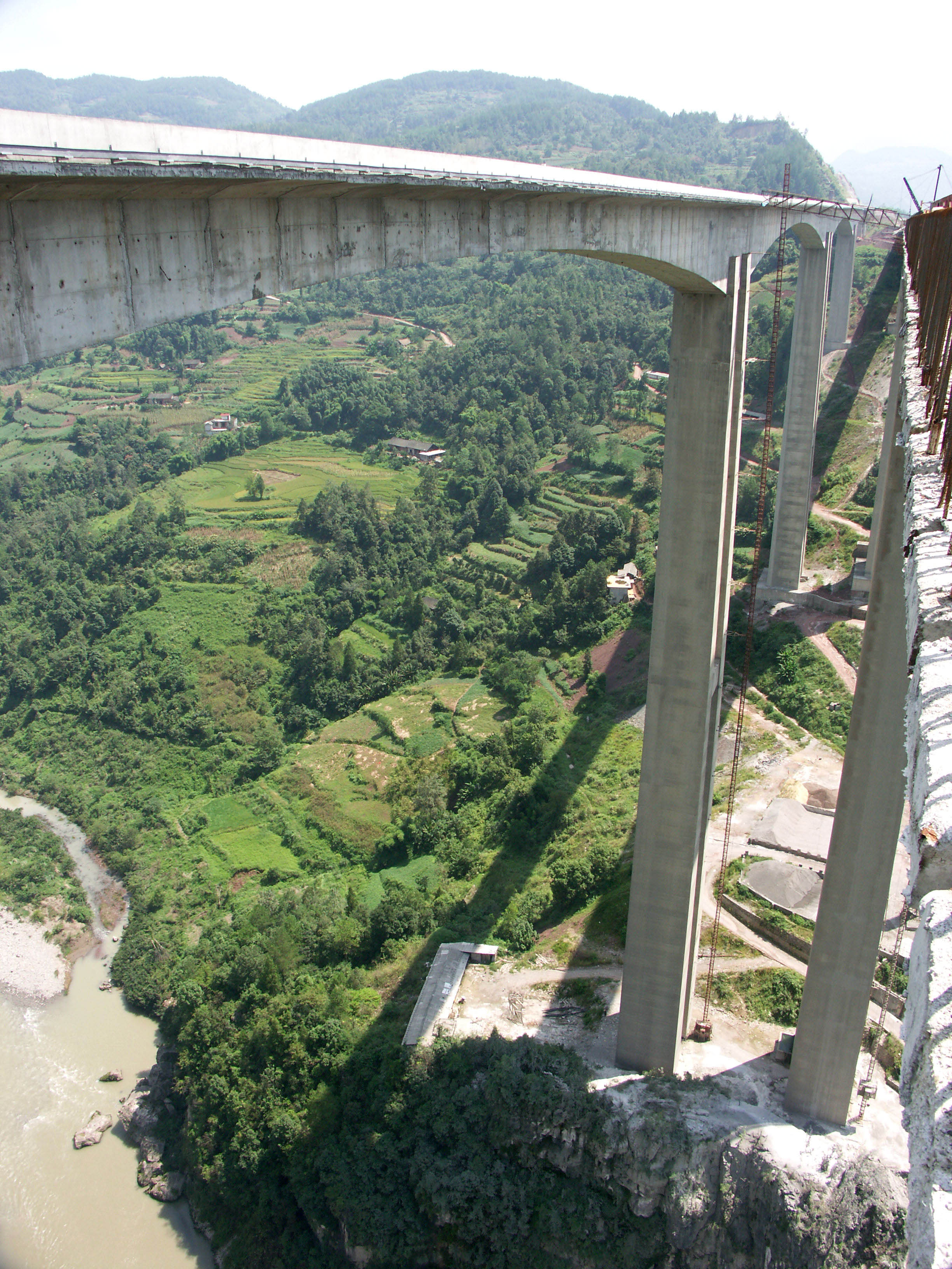
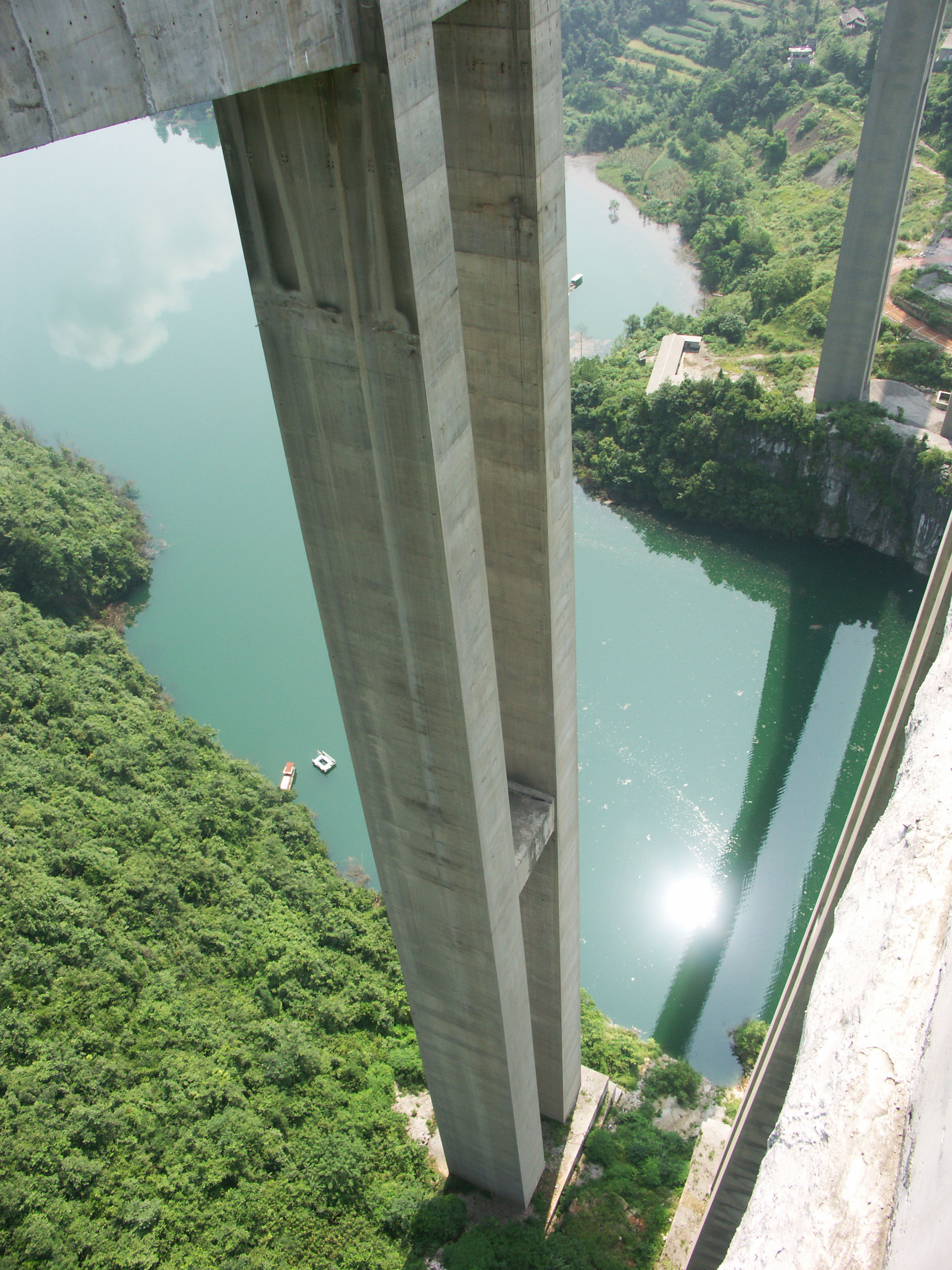
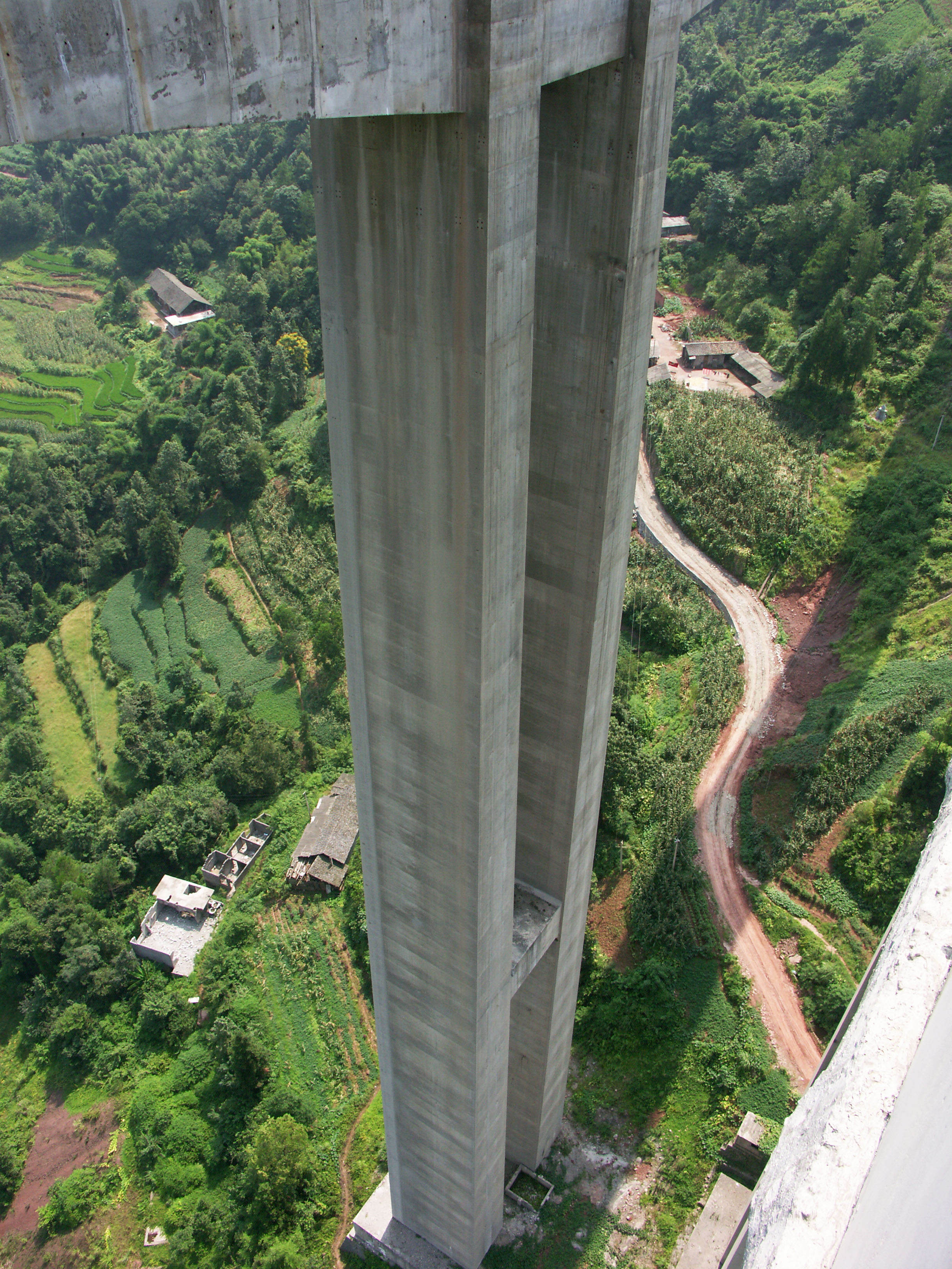
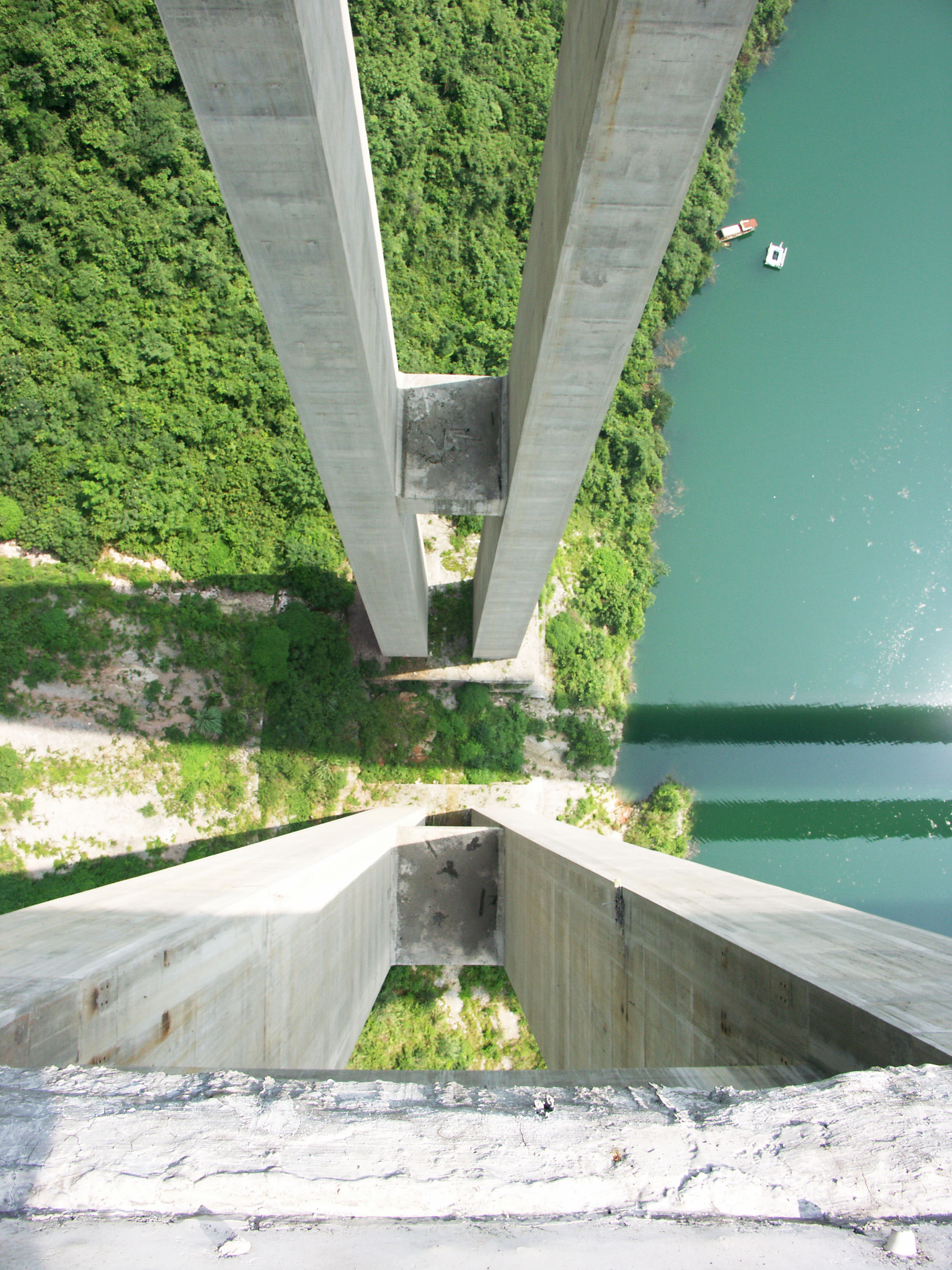
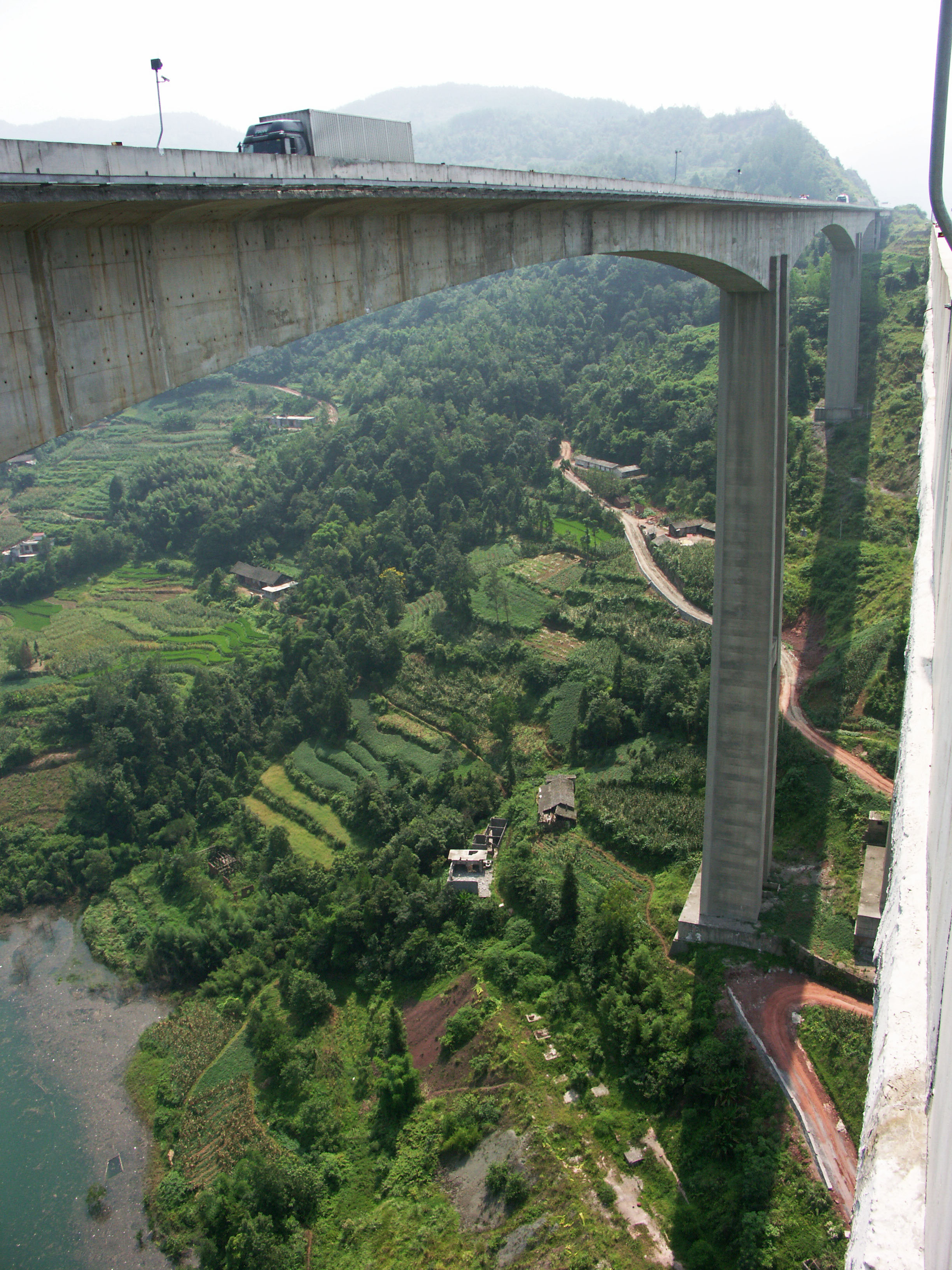
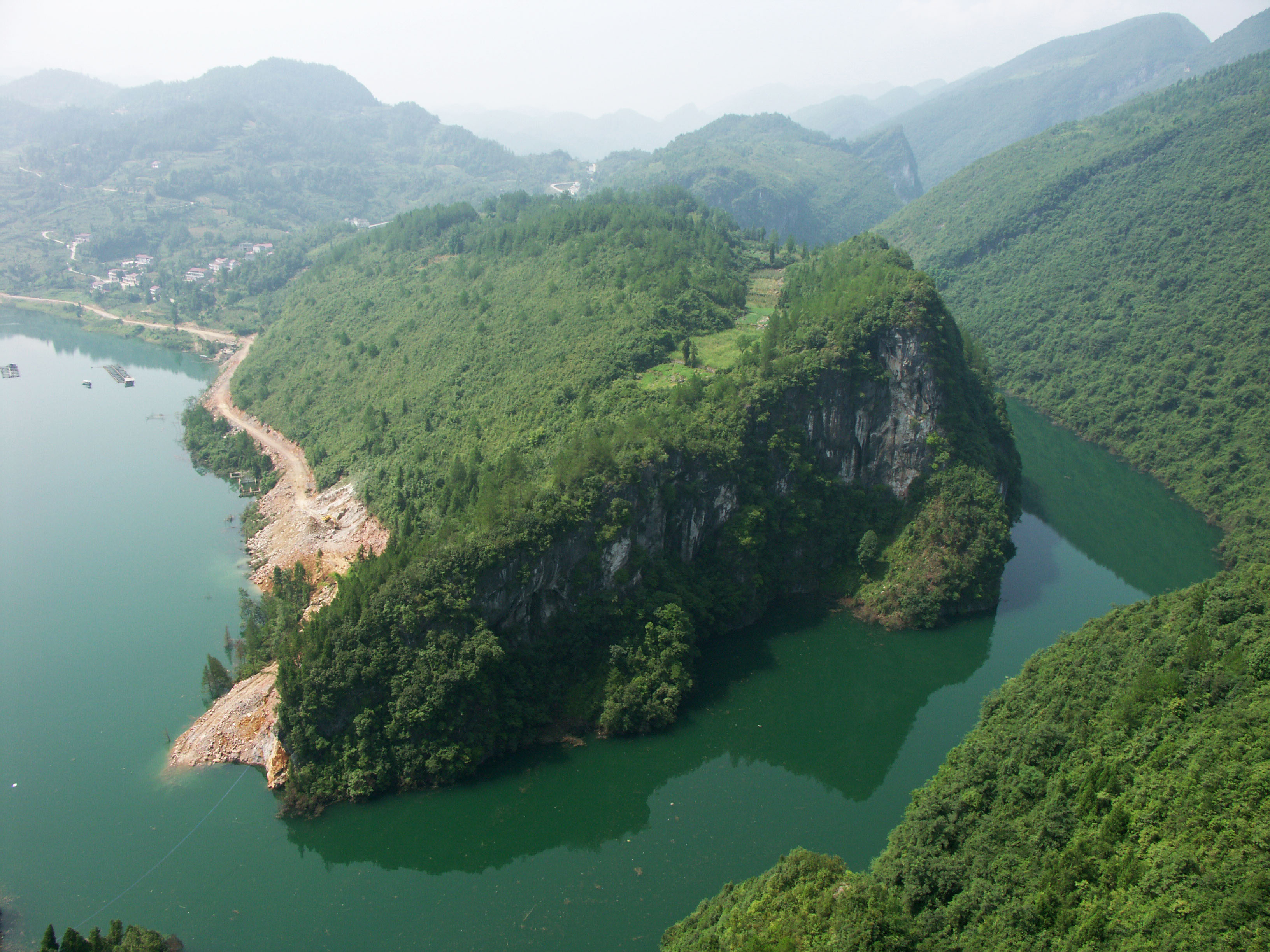
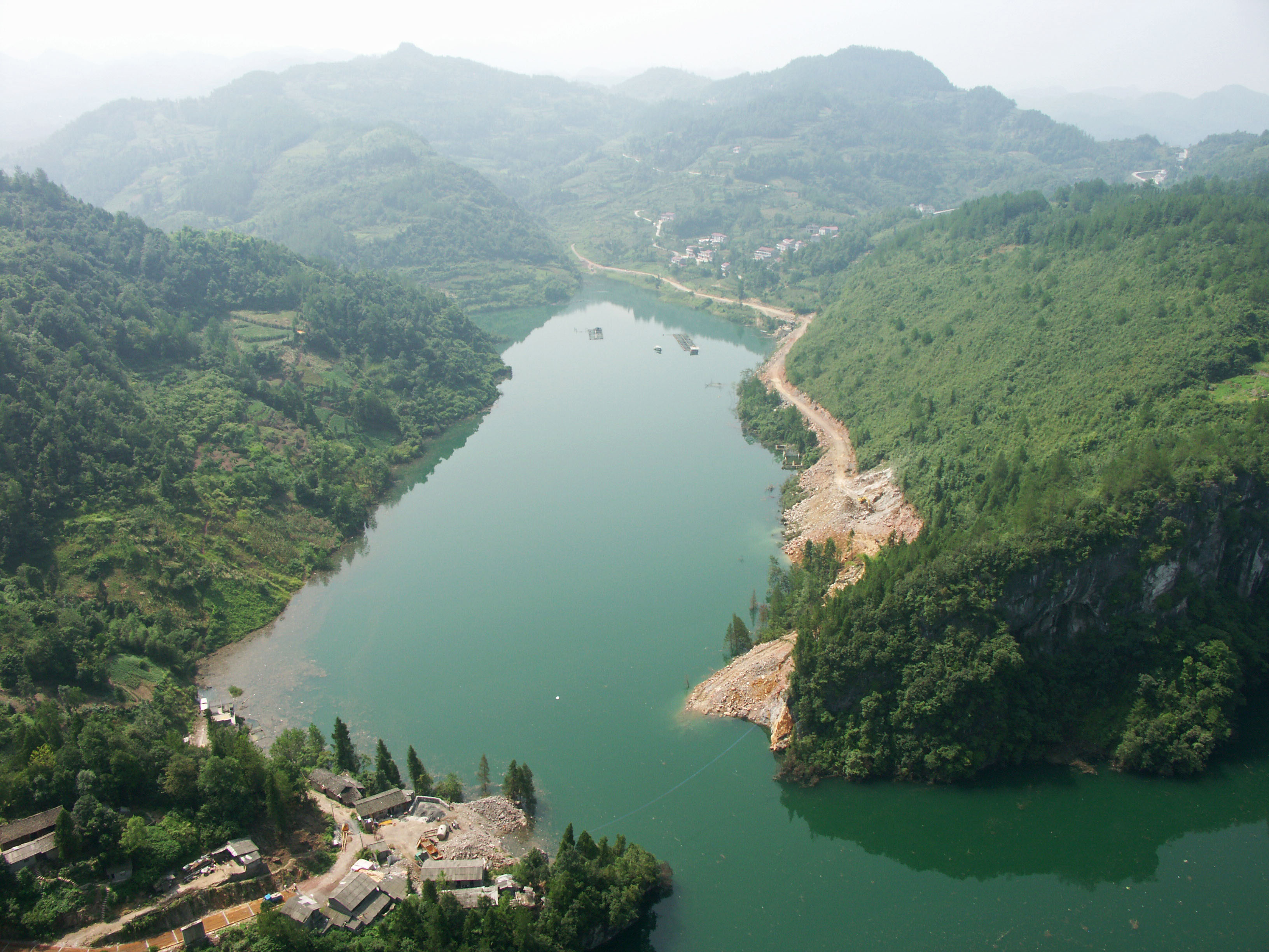
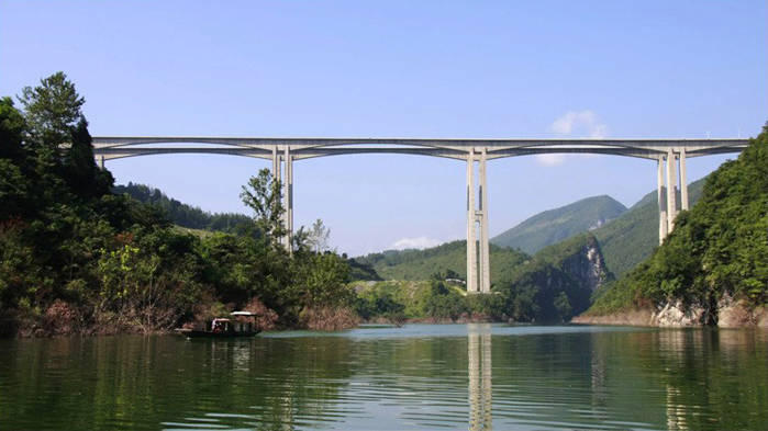
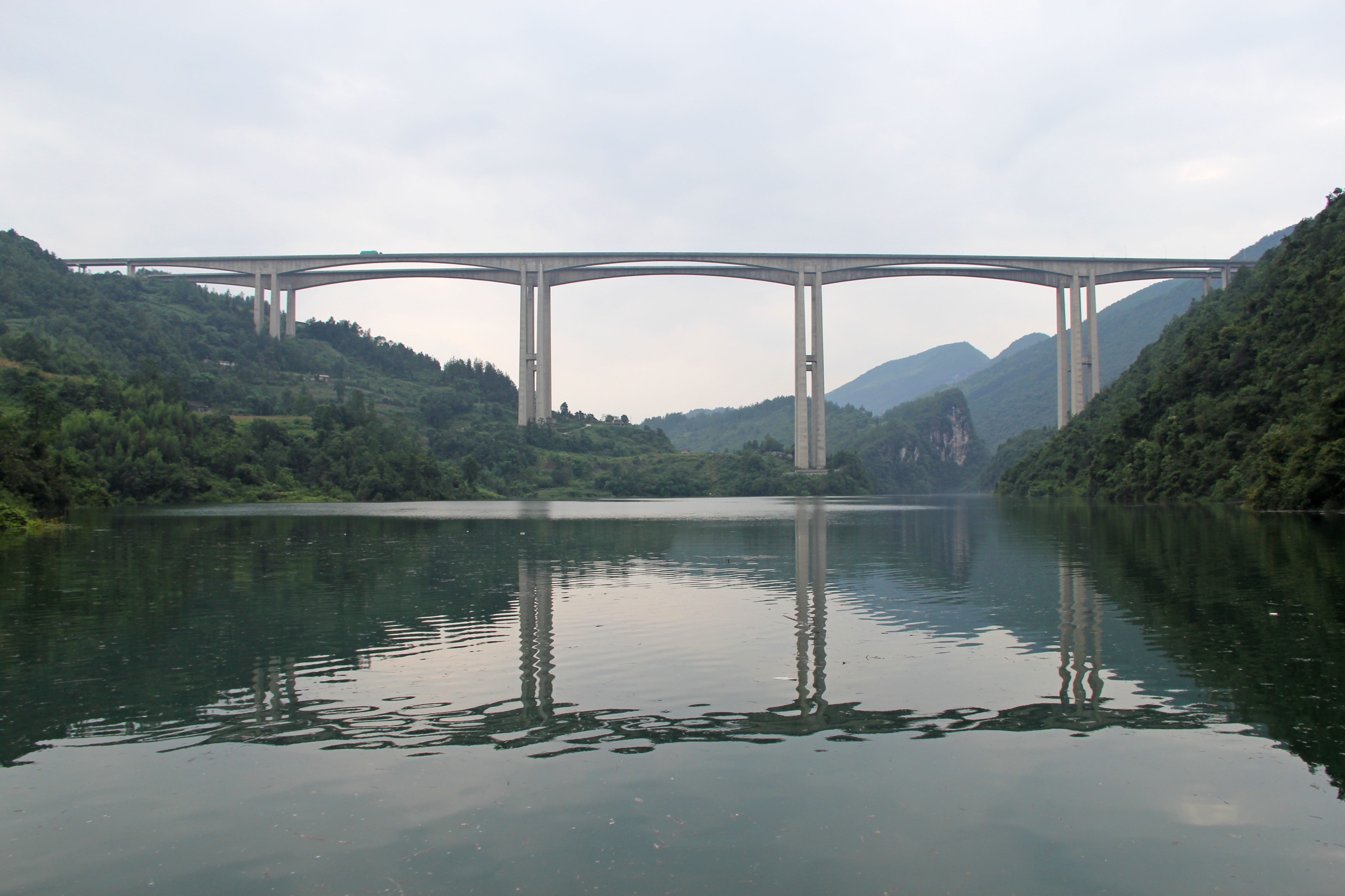
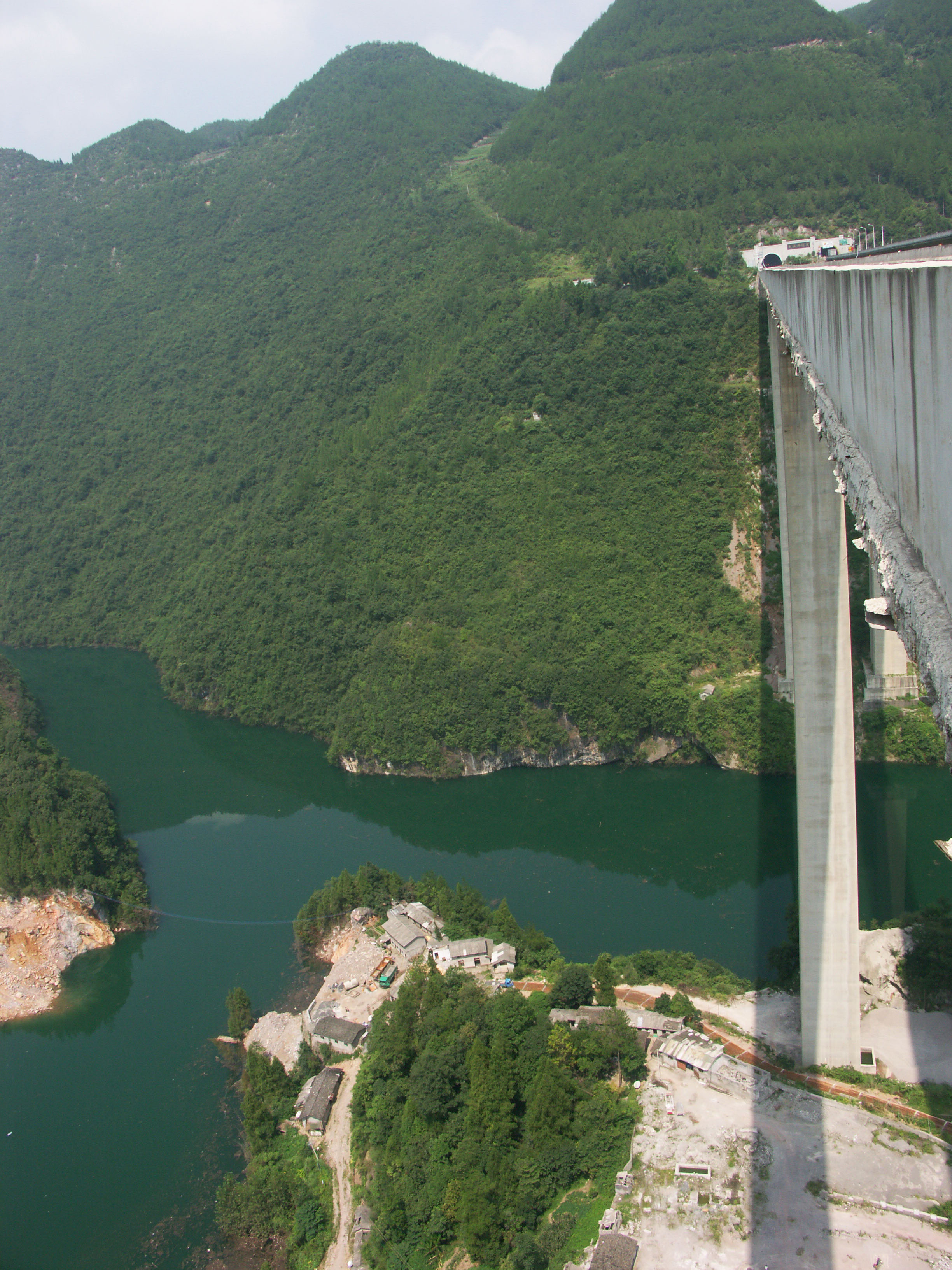
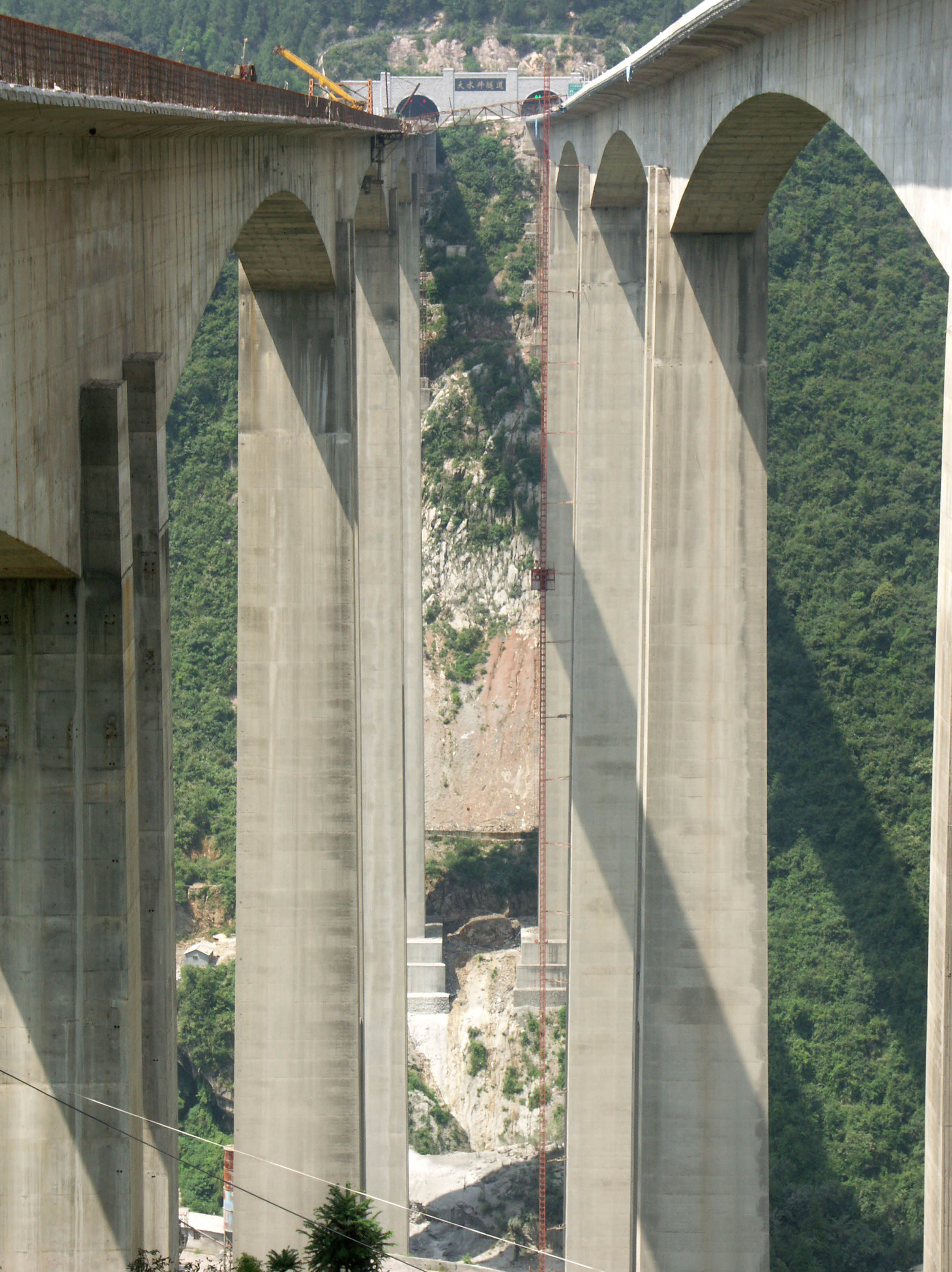
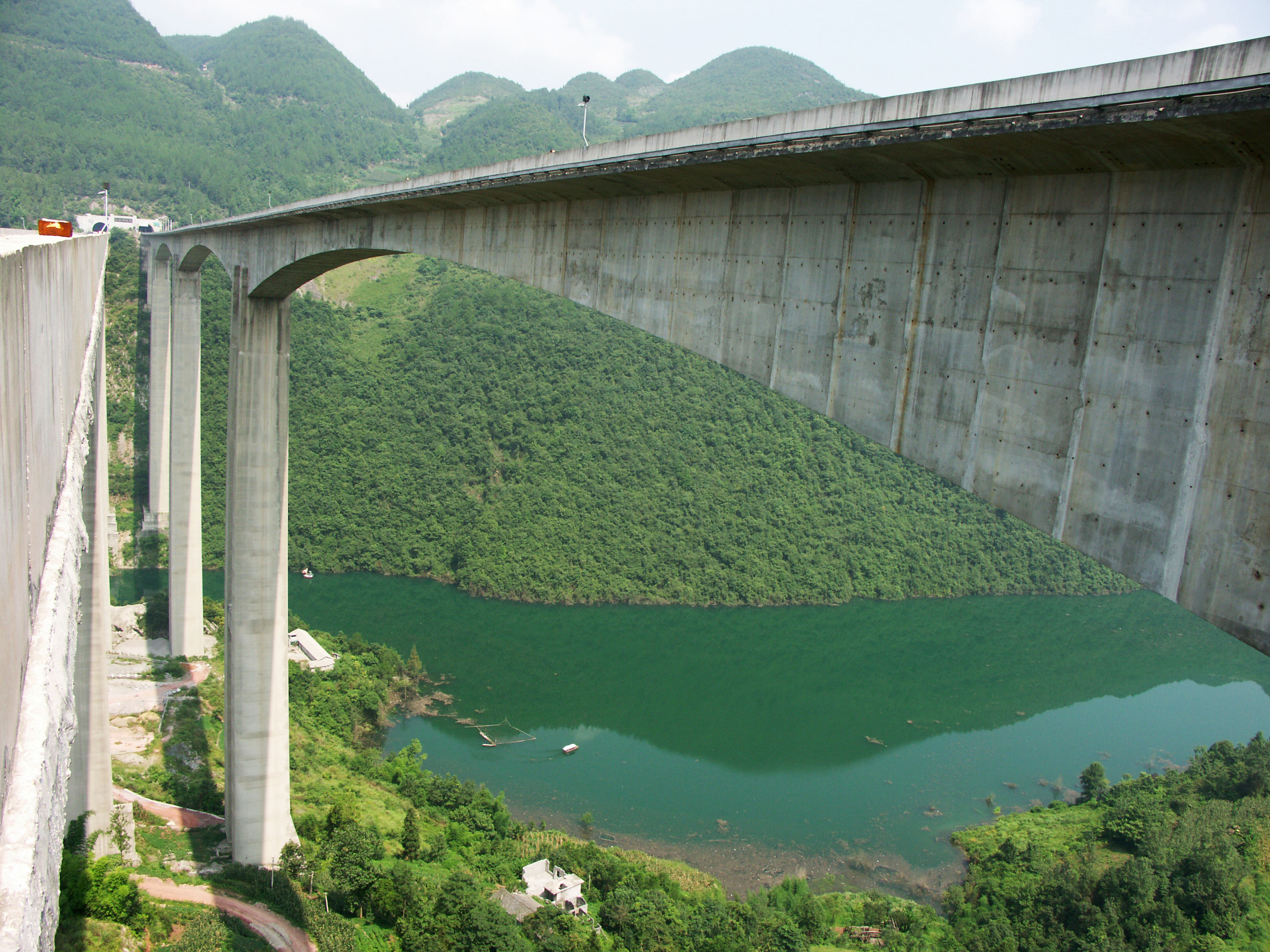
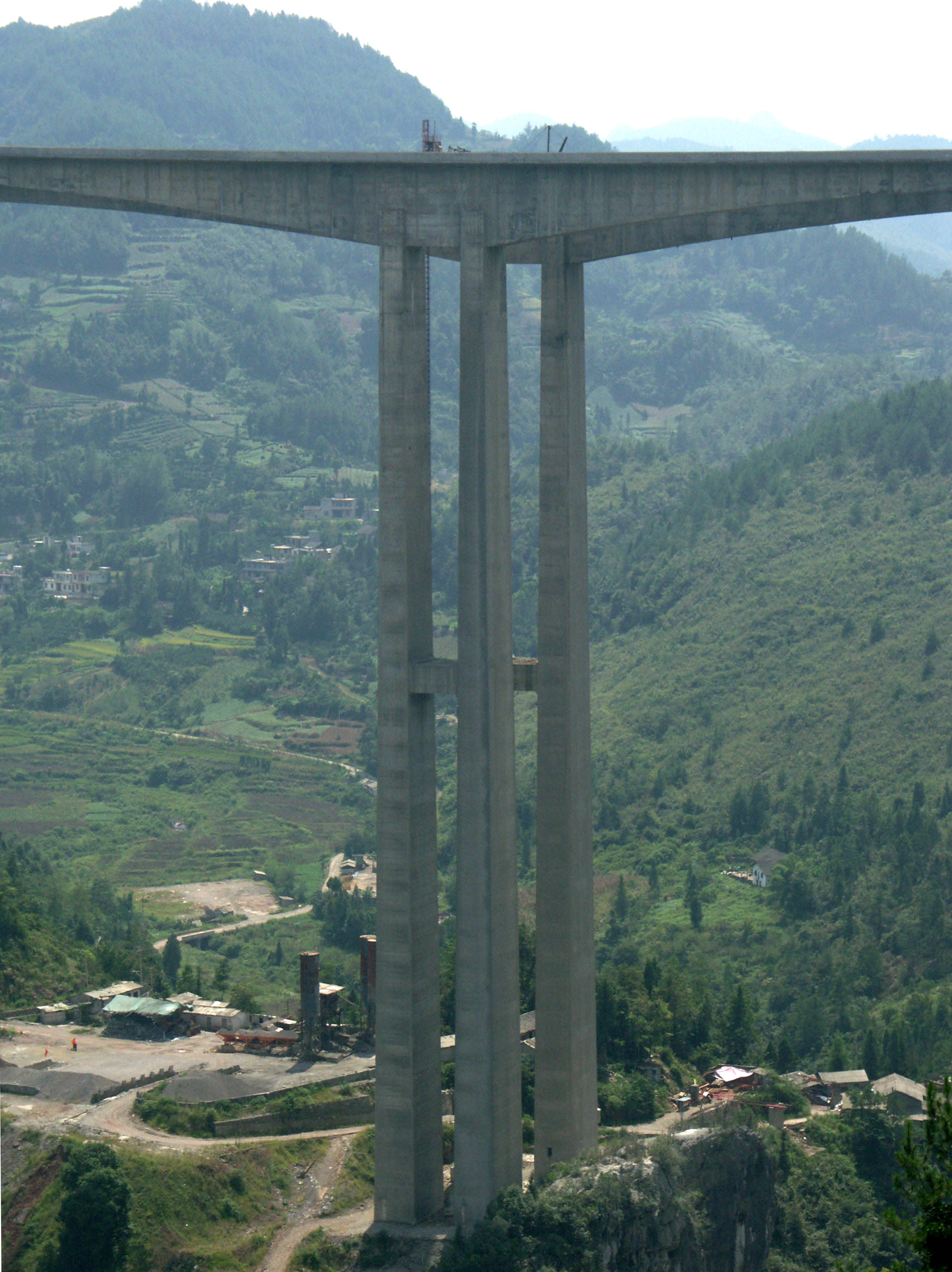
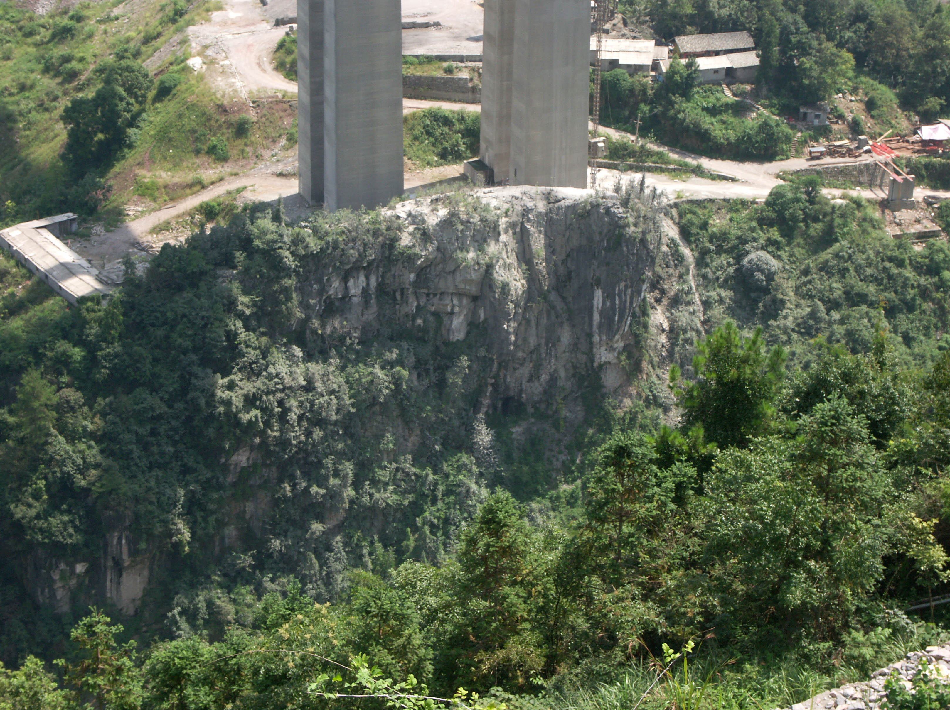
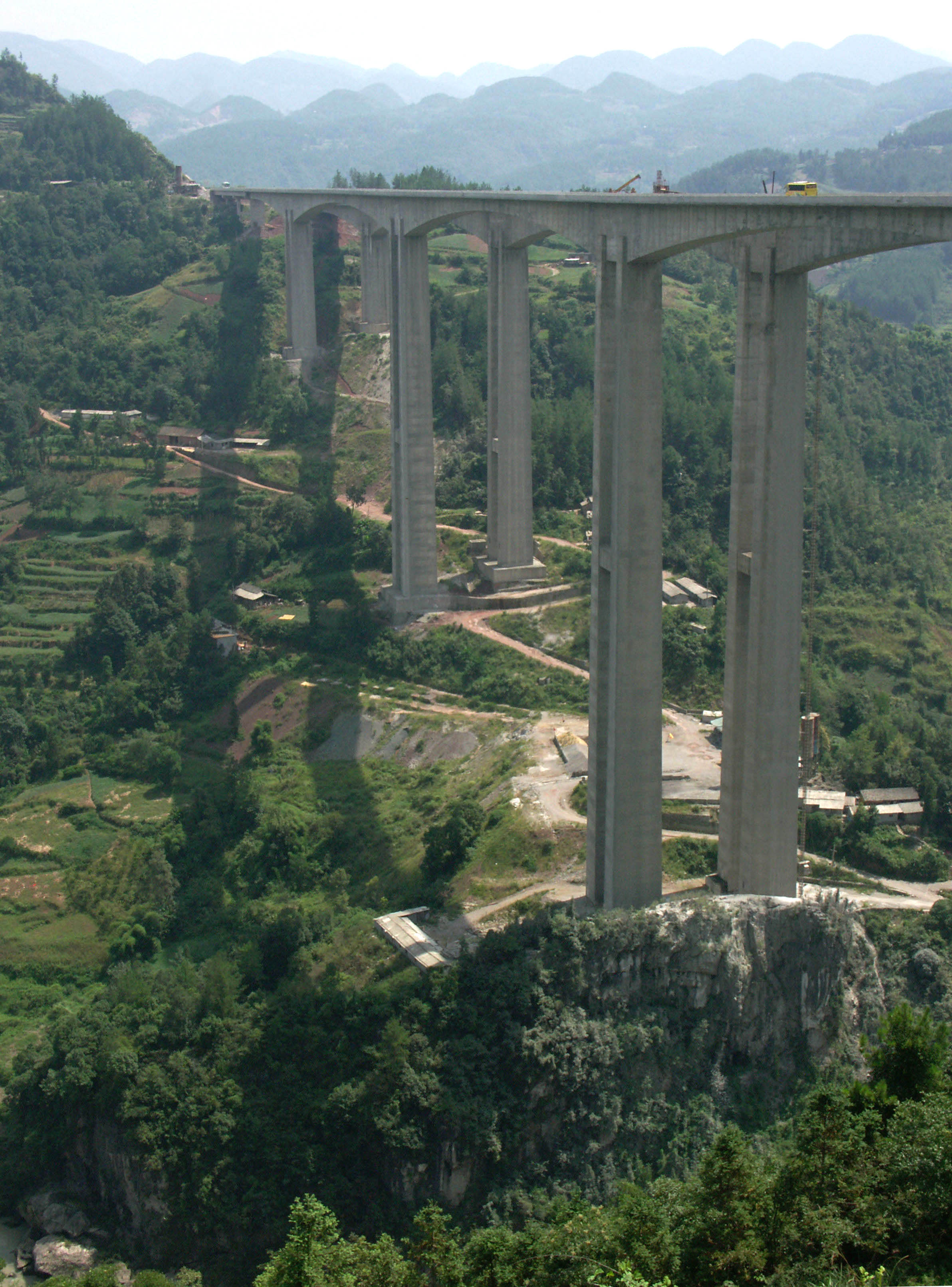
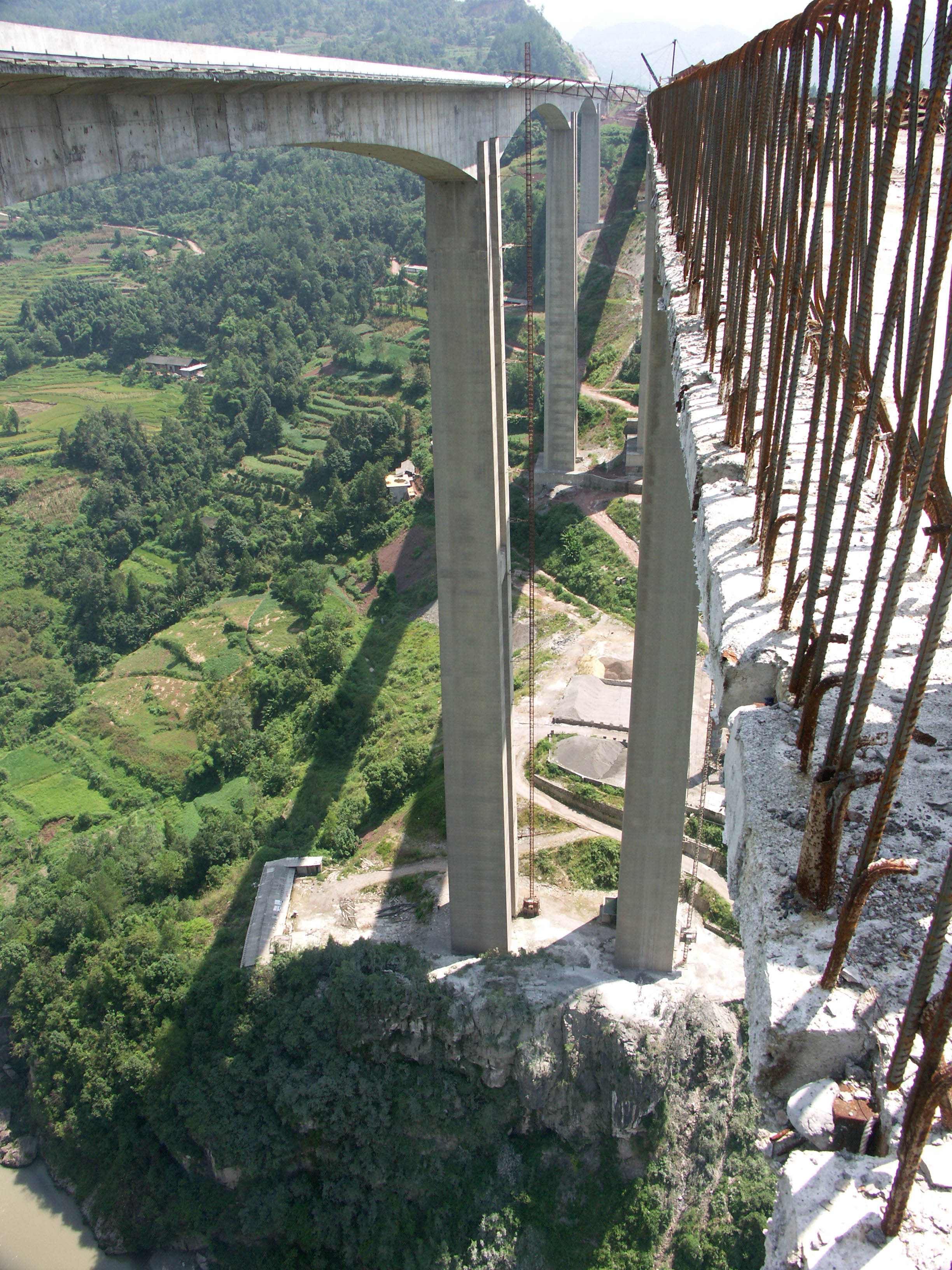
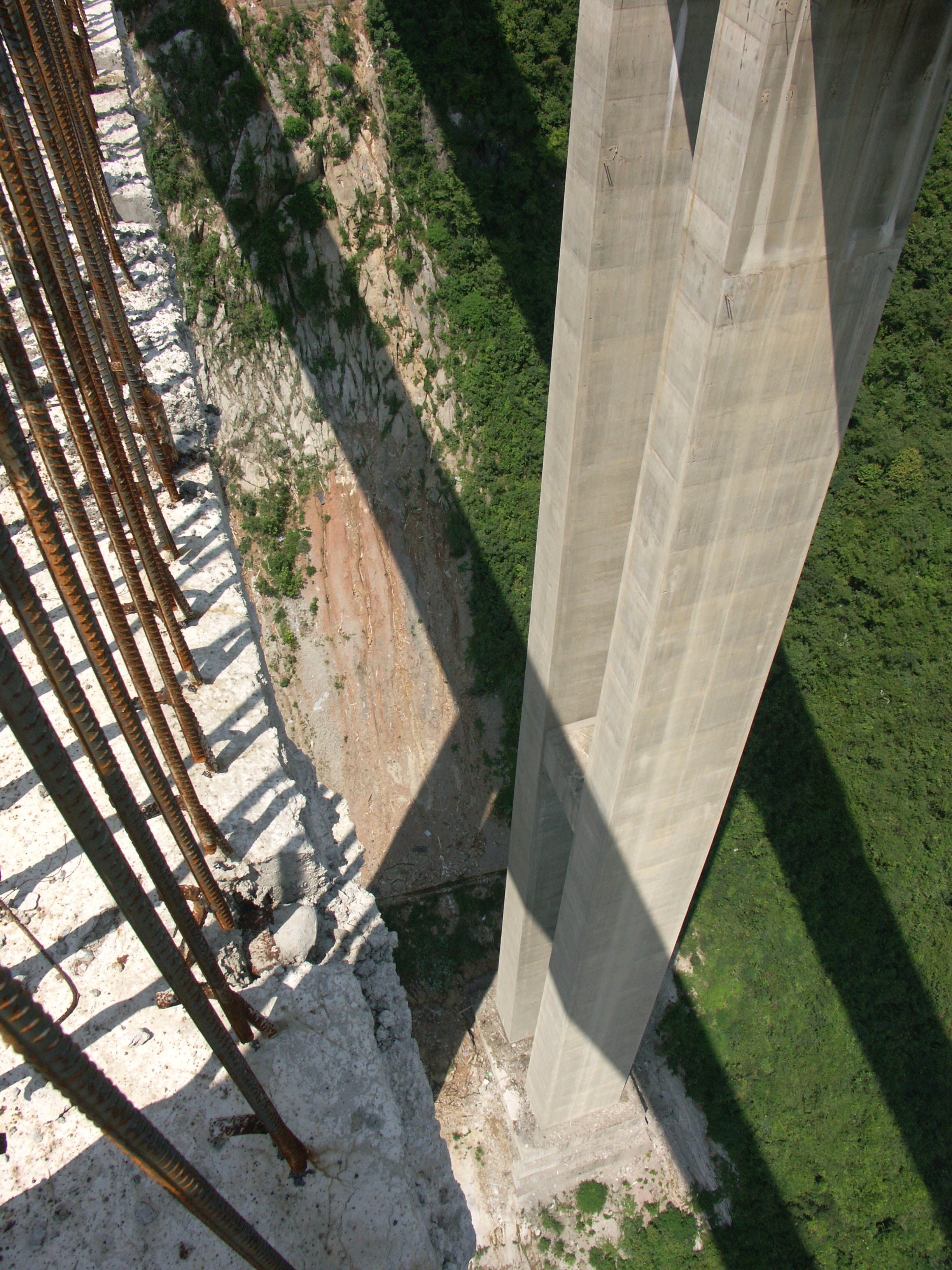
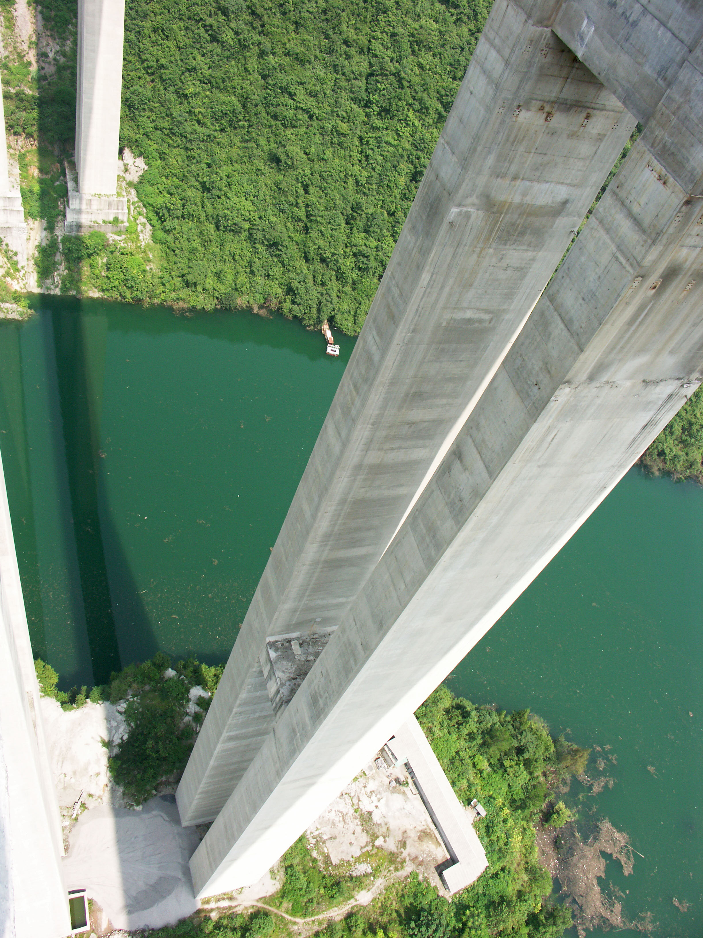
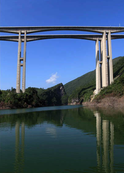
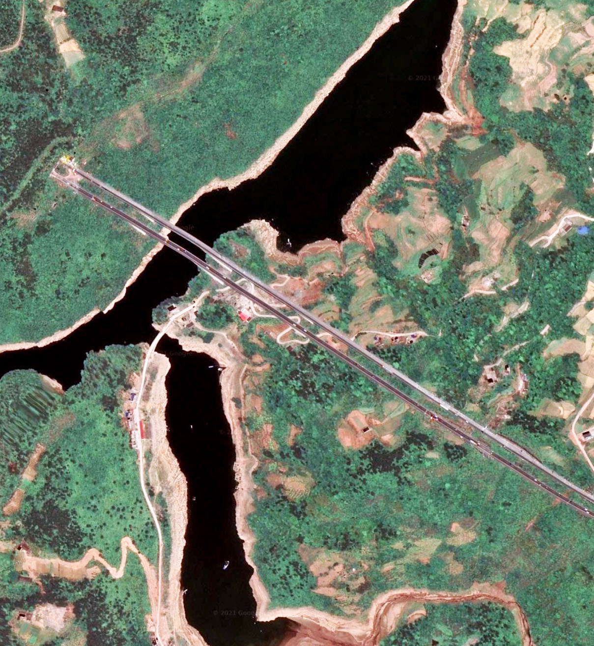
Sometime in 2009 a dam was completed downstream of the bridge and a reservoir has formed that is approximately 150 feet (46 meters) deep at the bridge. That puts the deck around 570 feet (174 meters) above a full reservoir. Maximum pier height is 142 and 139 meters. The pier foundations consist of 12 piles with diameters of 2.5 meters.
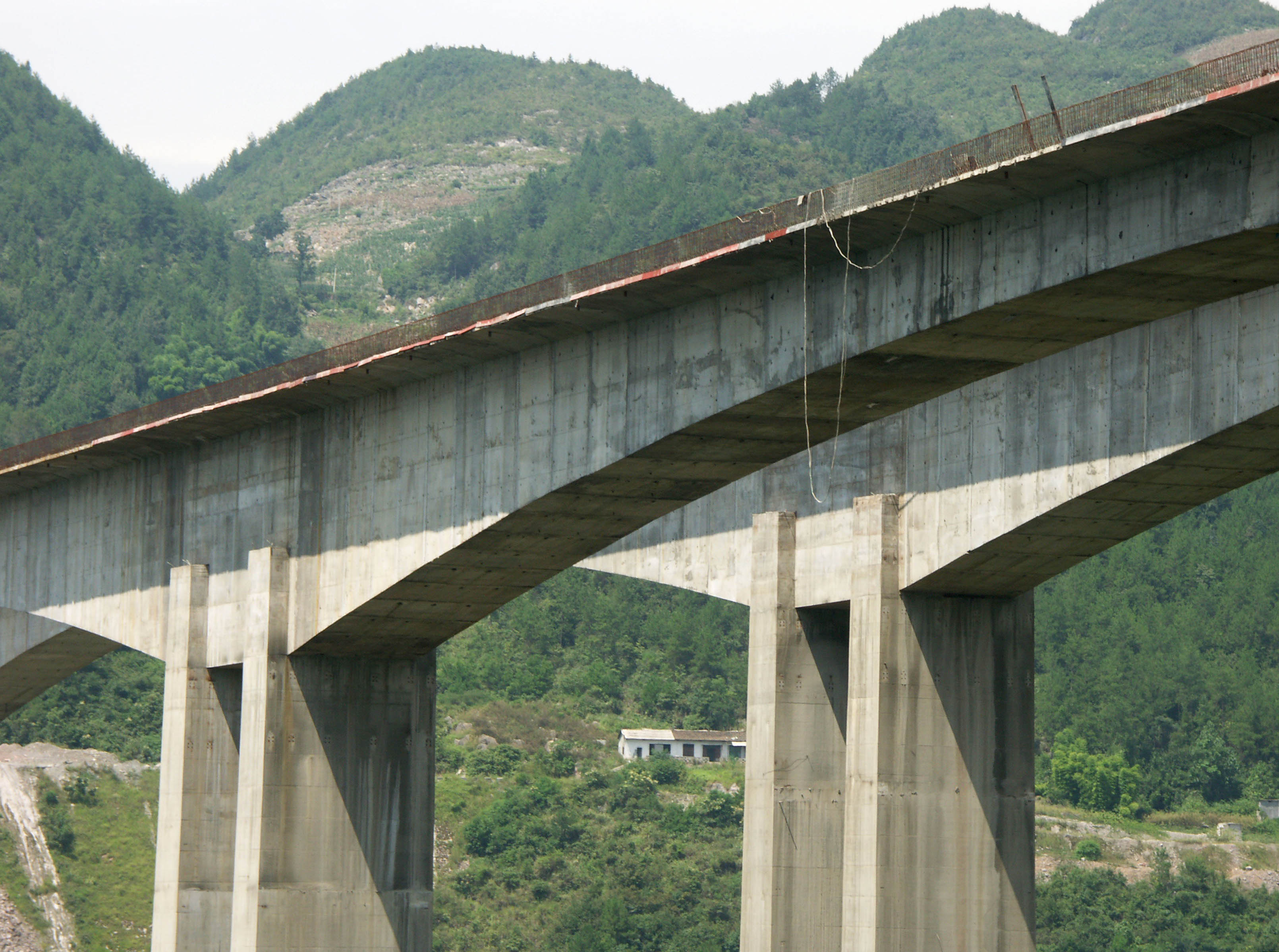
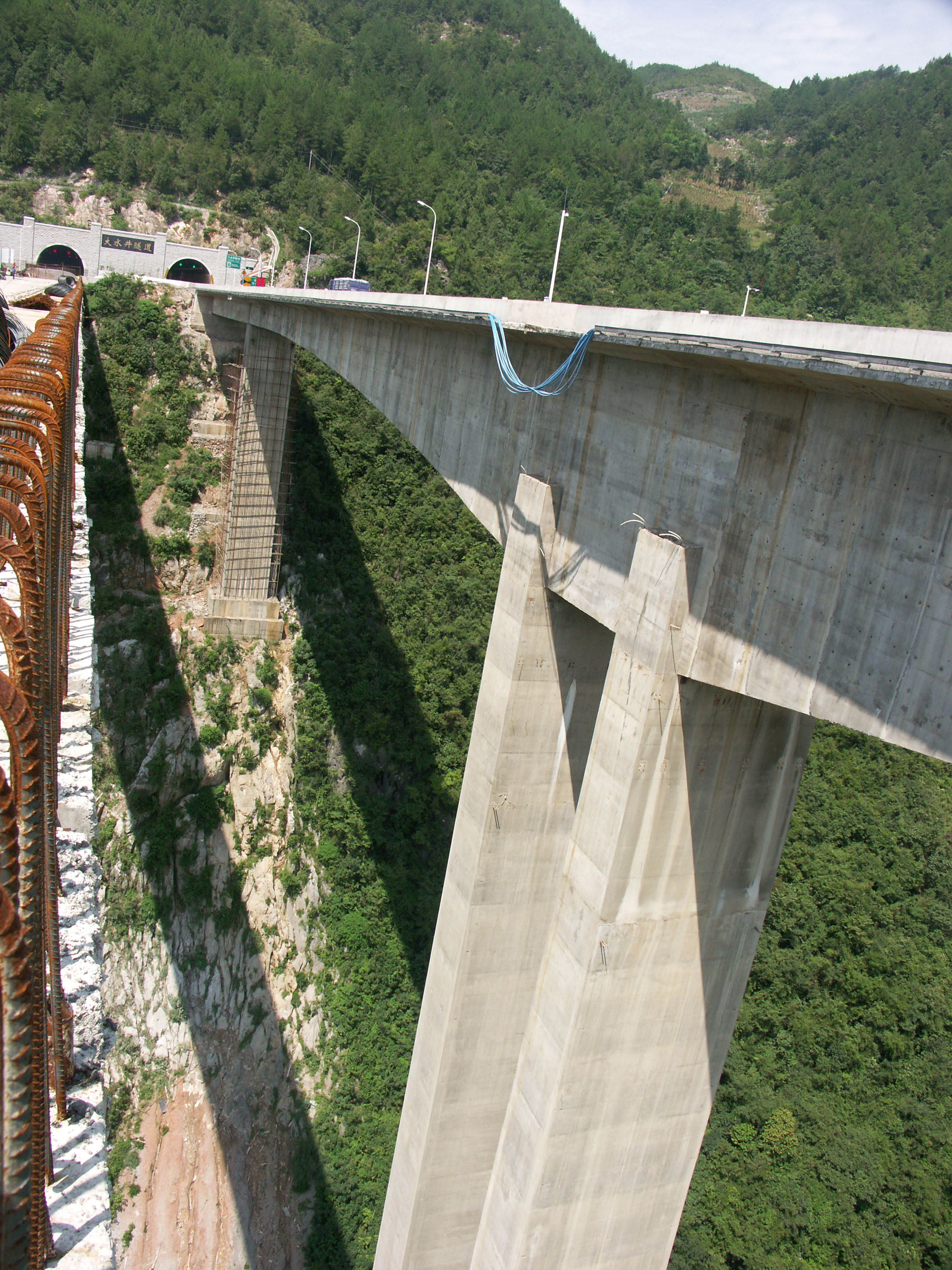
The main beam span of Mashuihe Bridge has a depth of 12 meters over the piers and 3.5 meters at midspan. The curve of the beam underside changes according to the quadratic parabola. The Mashuihe Bridge deck width is 24.5 meters.
世界上最高的梁式结构高架桥,马水河大桥是在沪蓉西高速公路西段最后300英里(483公里)路段上的10座令人惊叹的桥梁之一,而沪蓉线则是将太平洋西岸的上海与内地的重庆和成都等城市联系起来的交通大动脉。经由三峡库区,从东部的宜昌开始直到西部的忠县,这条4车道的工程师们造就的奇迹之路,是两座世界级高桥的“家”—— 行车道高度位于世界第一的拱桥支井河大桥以及桥面行车道在谷底河面之上473米的世界第一高度的四渡河大桥。这条更为直接的路线将与原先一条极为艰险、崎岖的长江流域的山区的一条公路线相并行。而原先需要一天的山区危险的车程或者长江上的航行,现在都能在5个小时之内实现。
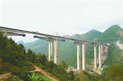
对于高架桥组成的定义可以是一个开放的讨论的内容,但是马水河大桥的结构形式是连续三跨相同的跨度的大桥,200米每跨,而不是仅仅有一个很大的中跨、两侧辅以相对很小的引桥。142米高的桥墩并没有同在沪蓉西高速公路线上的龙潭河大桥或者德国的科赫塔尔大桥那么高,但马水河大桥的桥面距其下河水水面的高度却比前两者更高。词汇“Viaduct”也在意大利特高桥梁普拉塔诺高桥的名字中出现,但是其定义仅仅是用于引桥而非主桥。
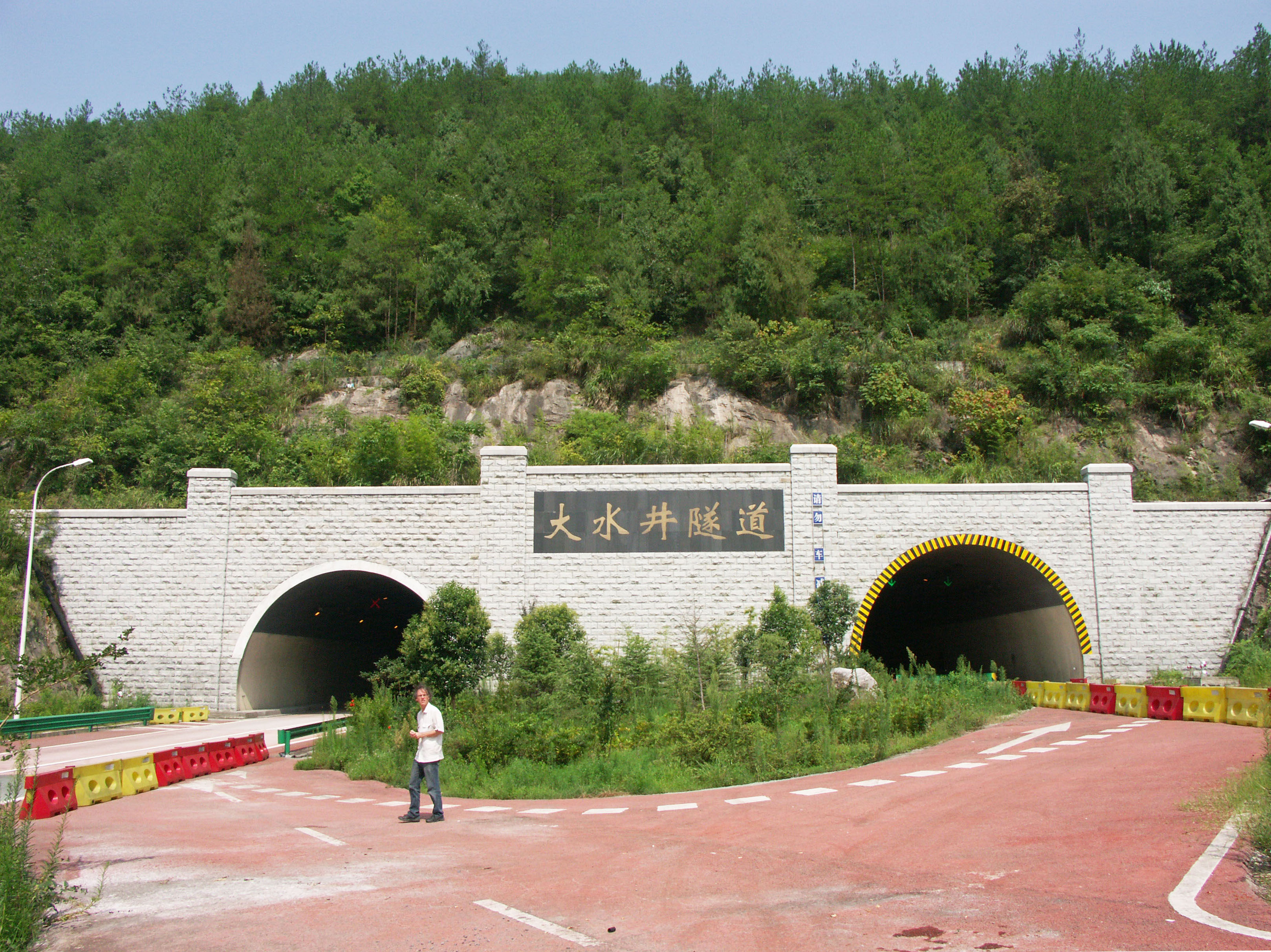
因为马水河大桥的西段紧接一条隧道,观看大桥的最安全的方式就是把车子停在大桥东北一侧,然后得徒步下山到河边。或者,你就得在大桥东侧一个出口下高速公路,接着得寻找能沿着地方公路折返回到大桥的路线了。
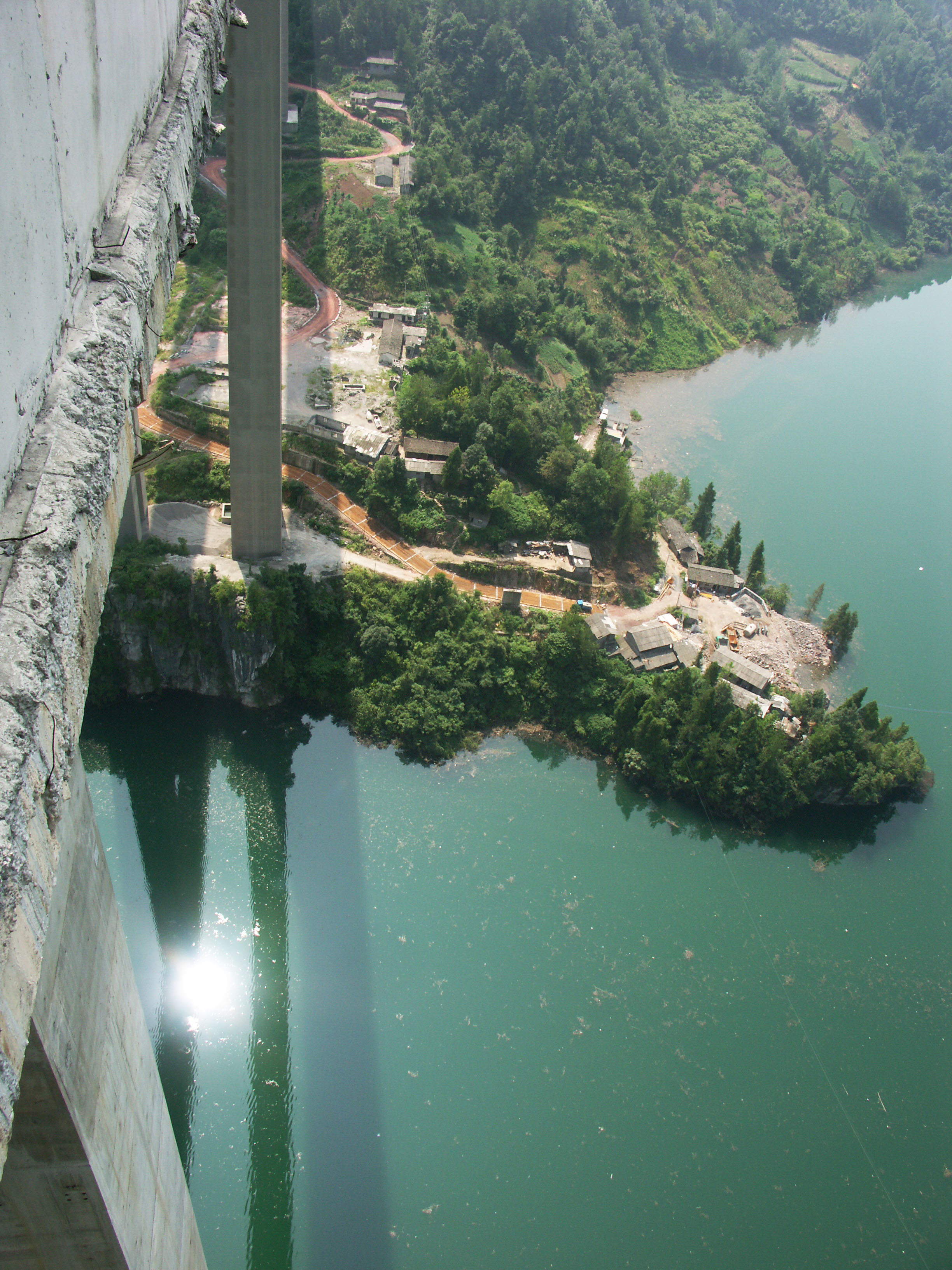
An aerial view taken sometime after 2008 when a reservoir had formed from a new dam several kilometers downstream.
Image by Eric Sakowski / HighestBridges.com
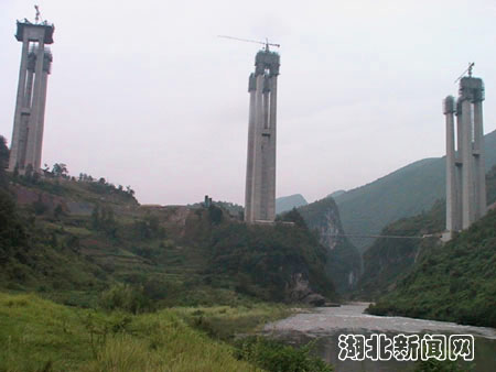
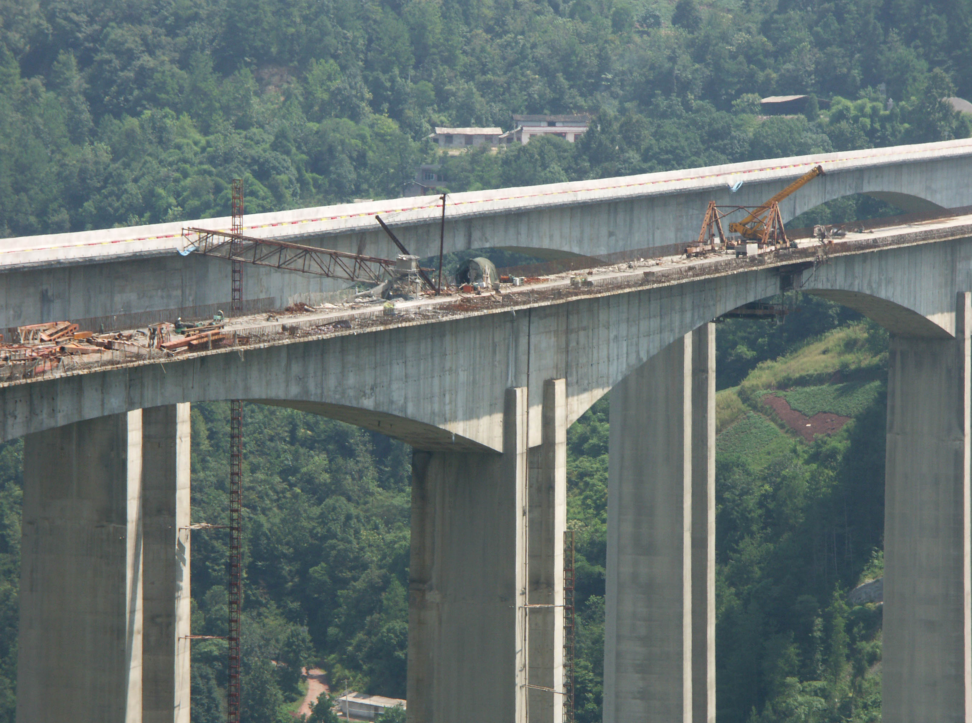
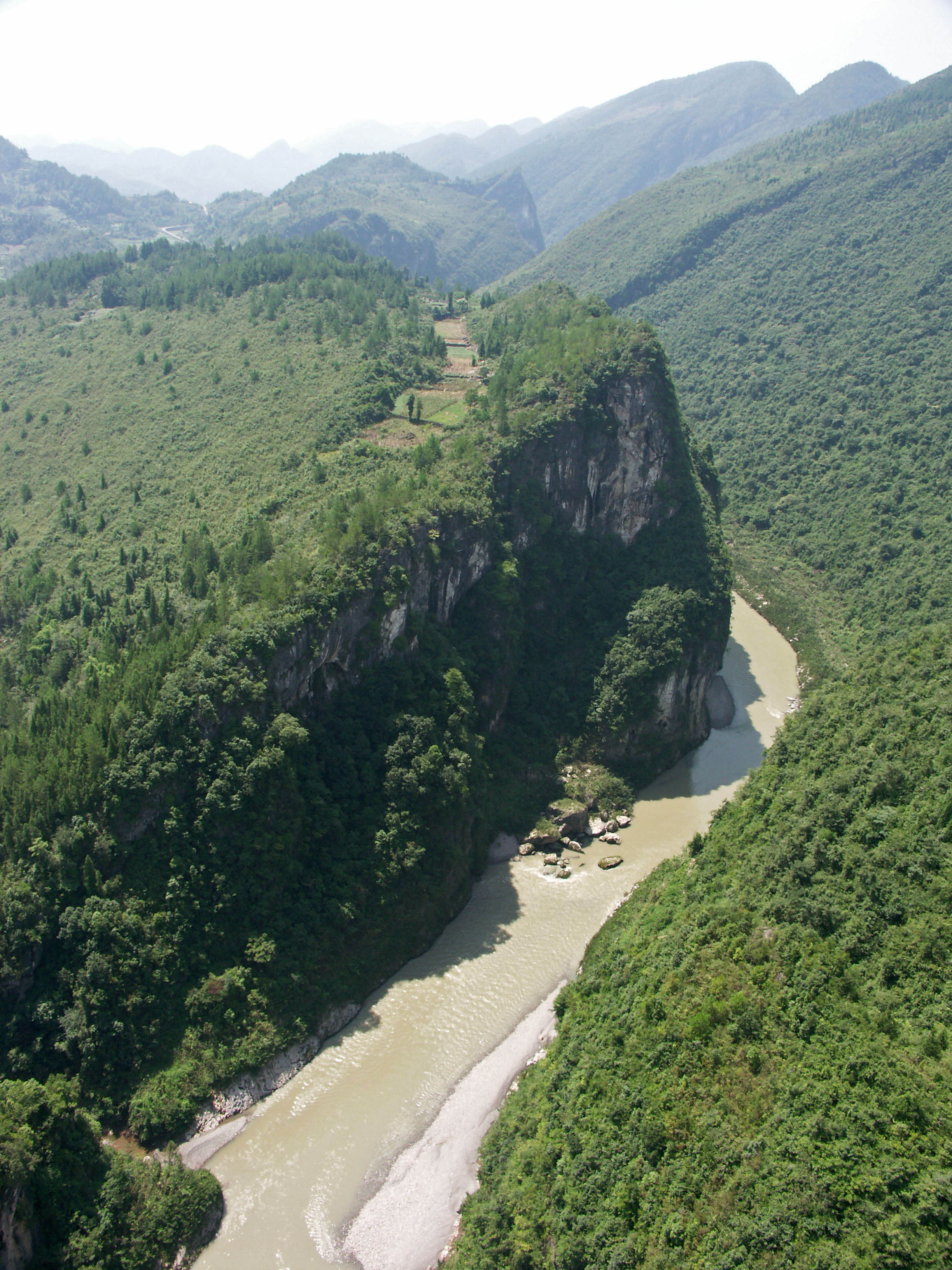
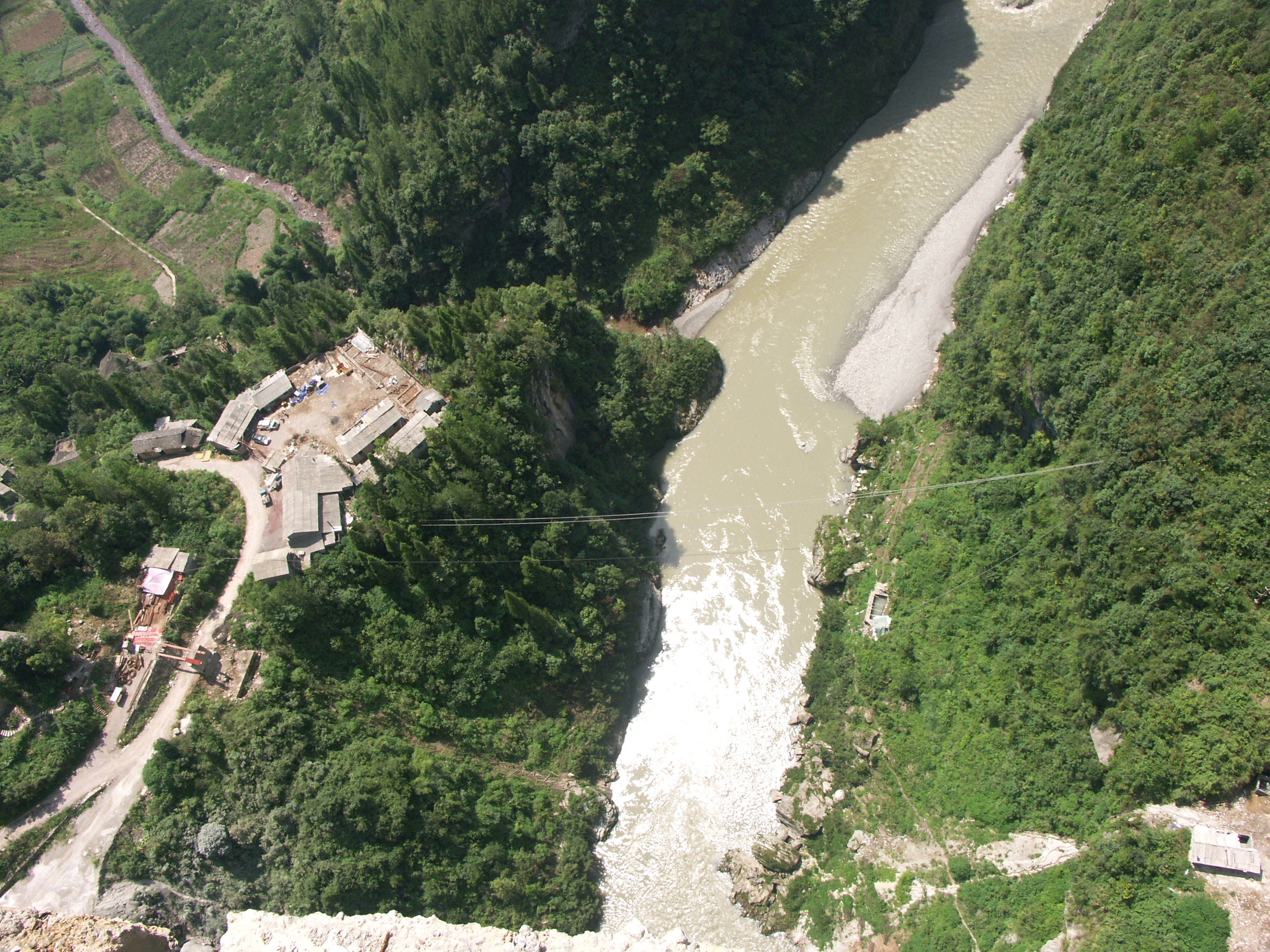
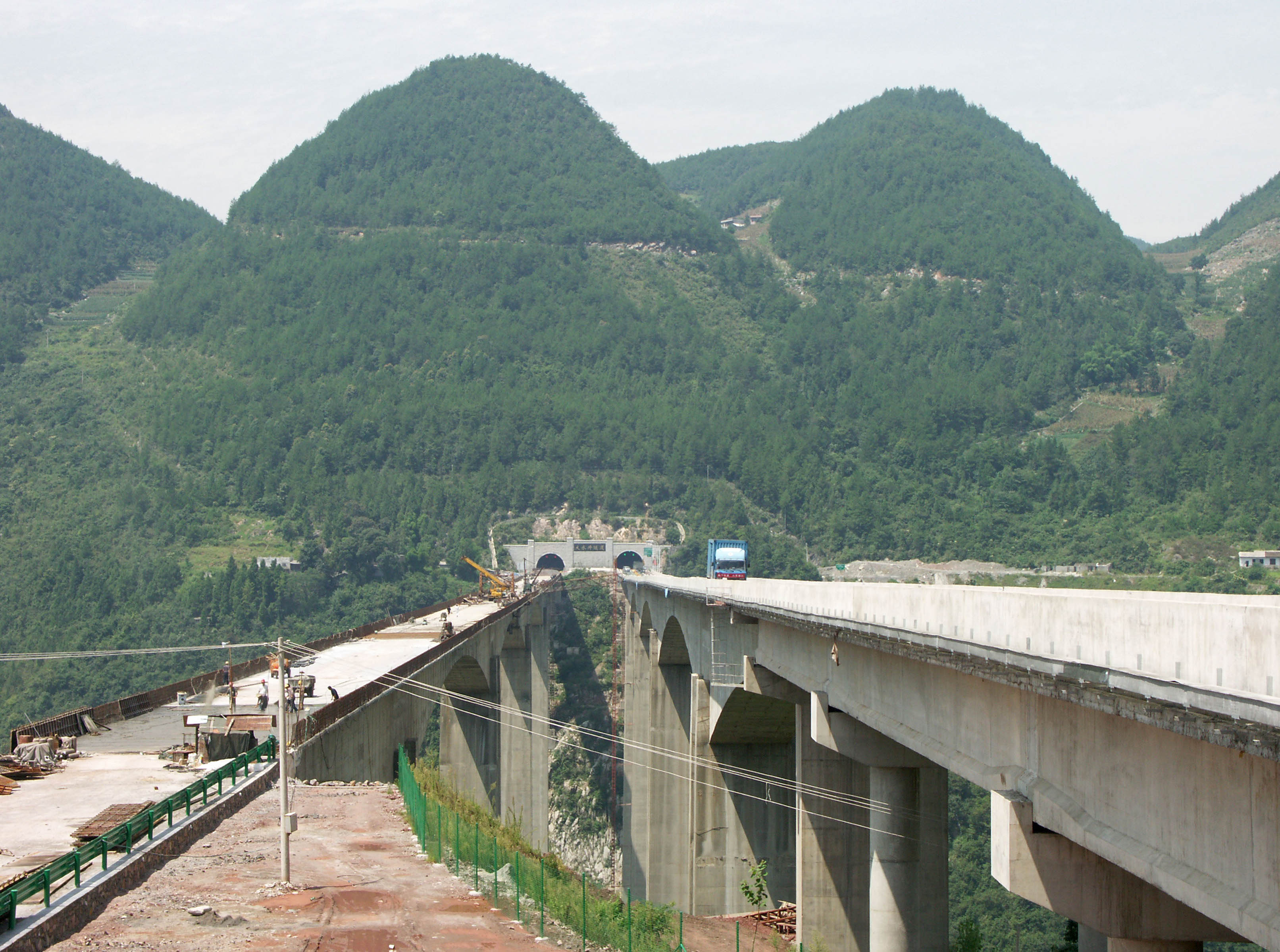
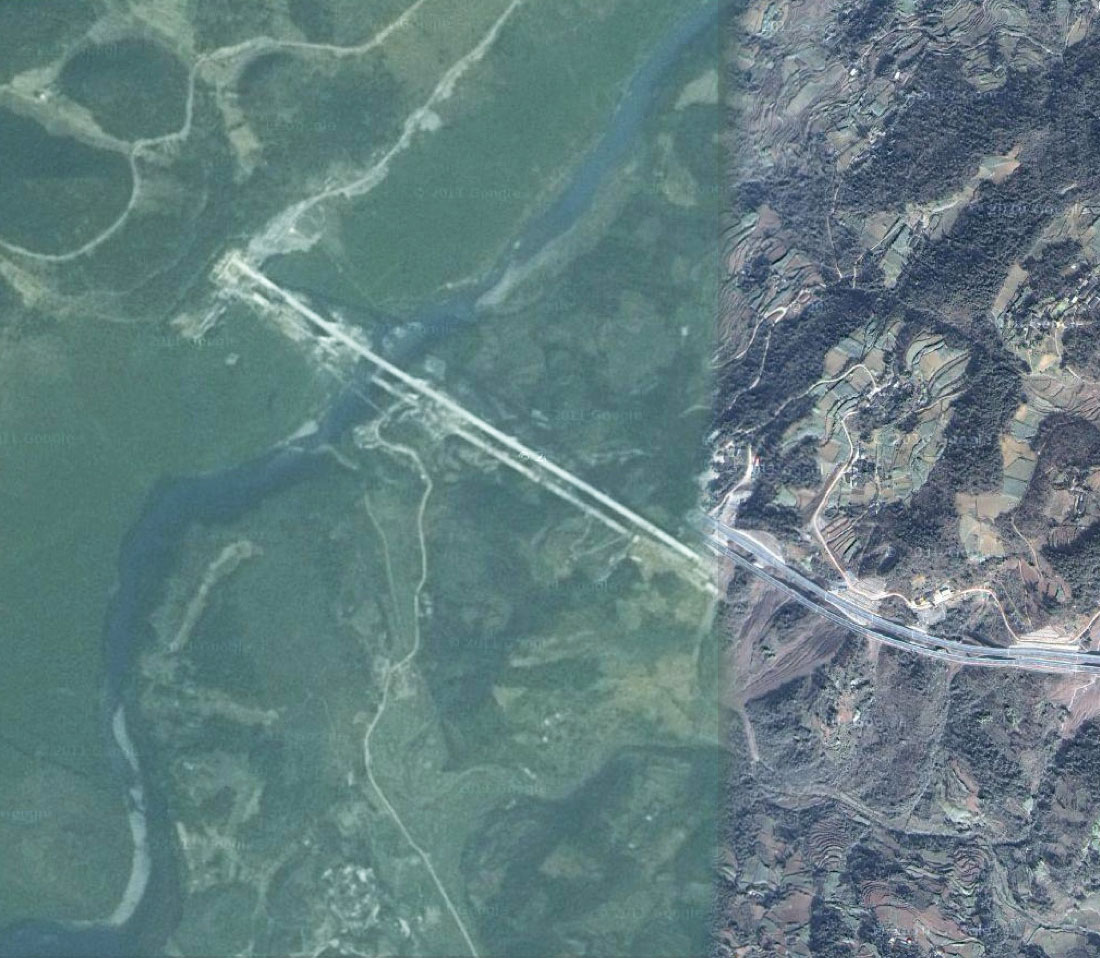
A 2008 construction view showing the original river gorge before the reservoir. Image by Eric Sakowski / HighestBridges.com
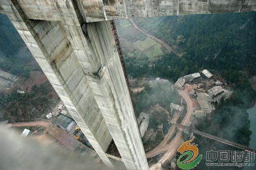
A similar view in 2011. Image by Eric Sakowski / HighestBridges.com
Image by Eric Sakowski / HighestBridges.com
Image by Eric Sakowski / HighestBridges.com
Image by Eric Sakowski / HighestBridges.com
Image by Eric Sakowski / HighestBridges.com
Image by Eric Sakowski / HighestBridges.com
Image by Eric Sakowski / HighestBridges.com
Image by Eric Sakowski / HighestBridges.com
Image by Eric Sakowski / HighestBridges.com
Image by Eric Sakowski / HighestBridges.com
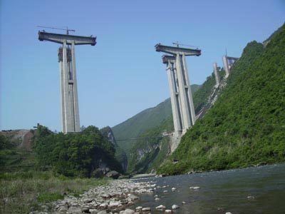
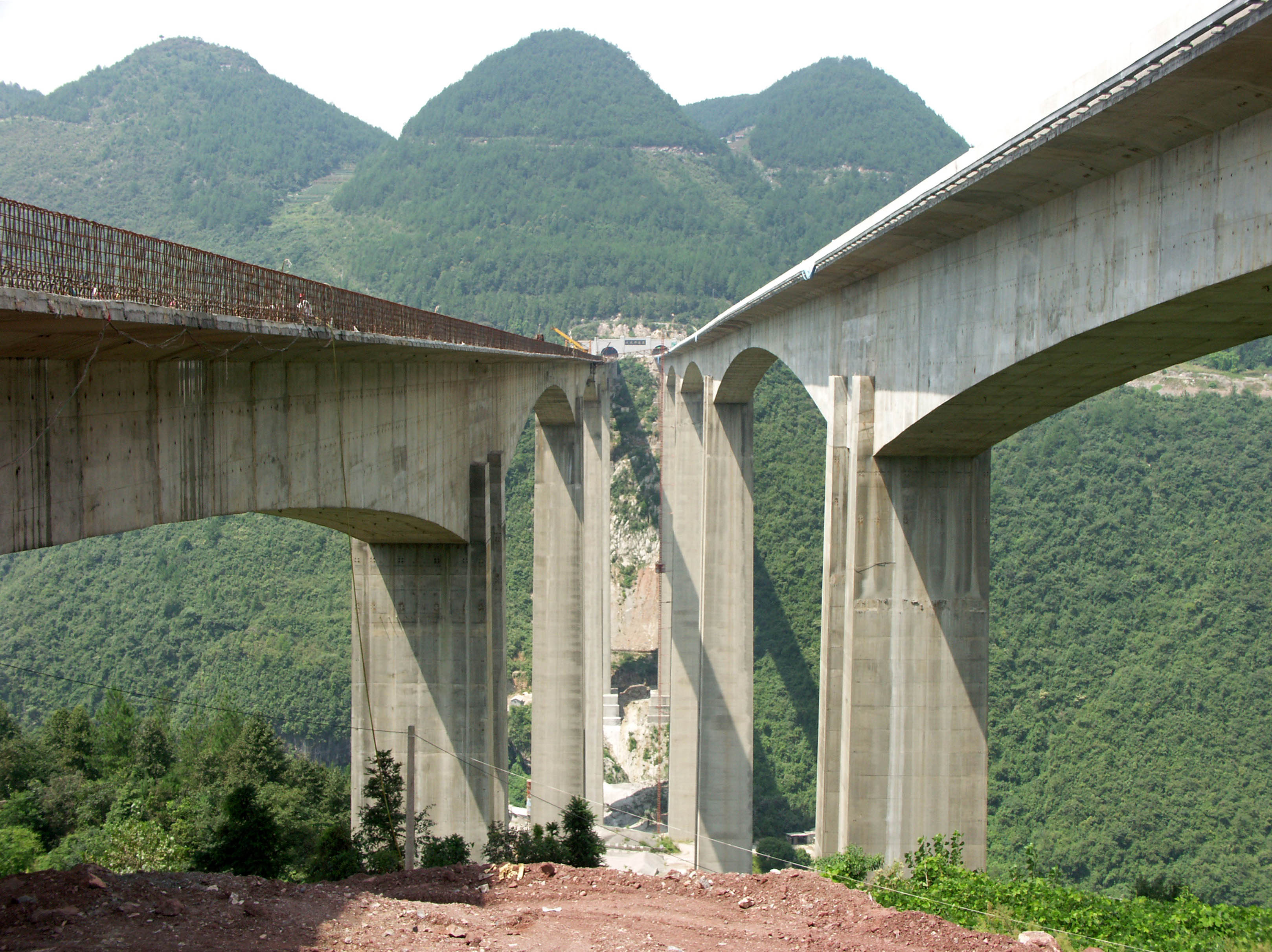
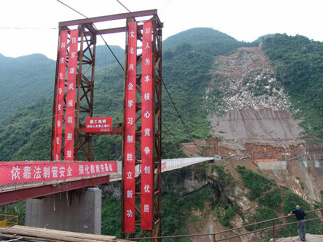
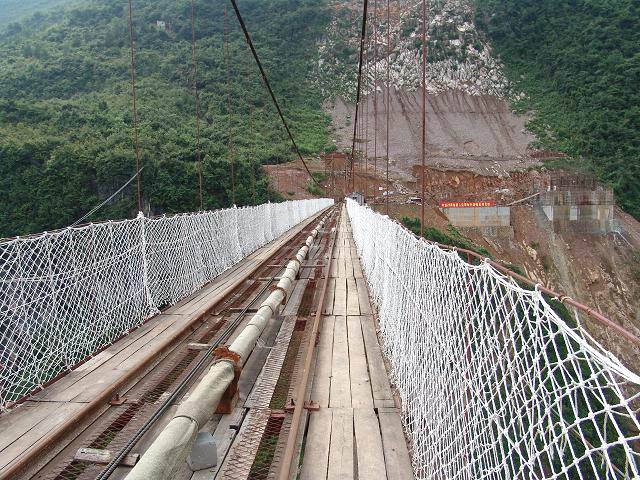
The 2008 view looking south into the Mashui River gorge. Image by Eric Sakowski / HighestBridges.com
The same view in 2011. Image by Eric Sakowski / HighestBridges.com
Image by Eric Sakowski / HighestBridges.com
Image by Eric Sakowski / HighestBridges.com
Image by Eric Sakowski / HighestBridges.com
Temporary construction suspension bridge.
Image by Richard Scott.
Image by Eric Sakowski / HighestBridges.com
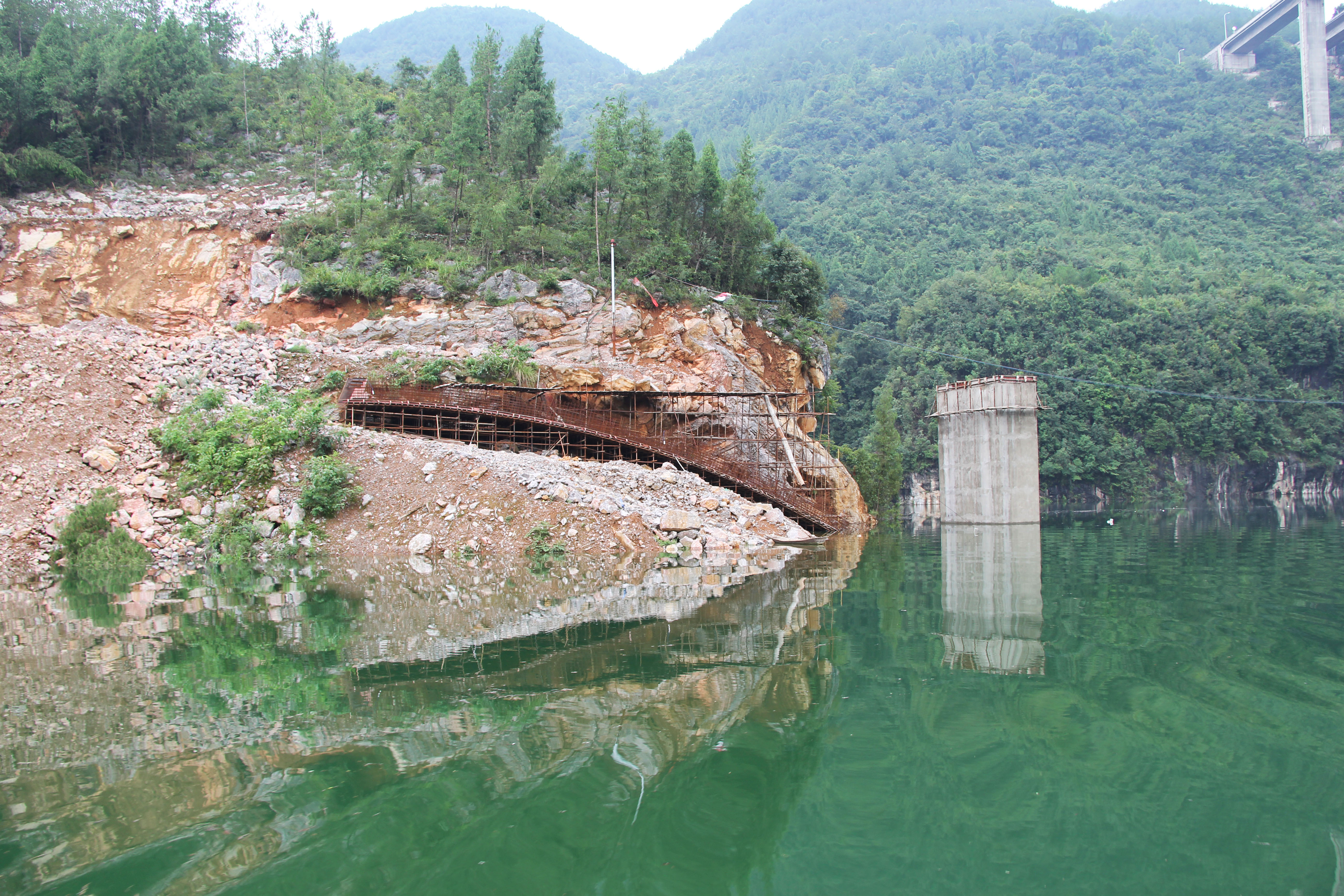
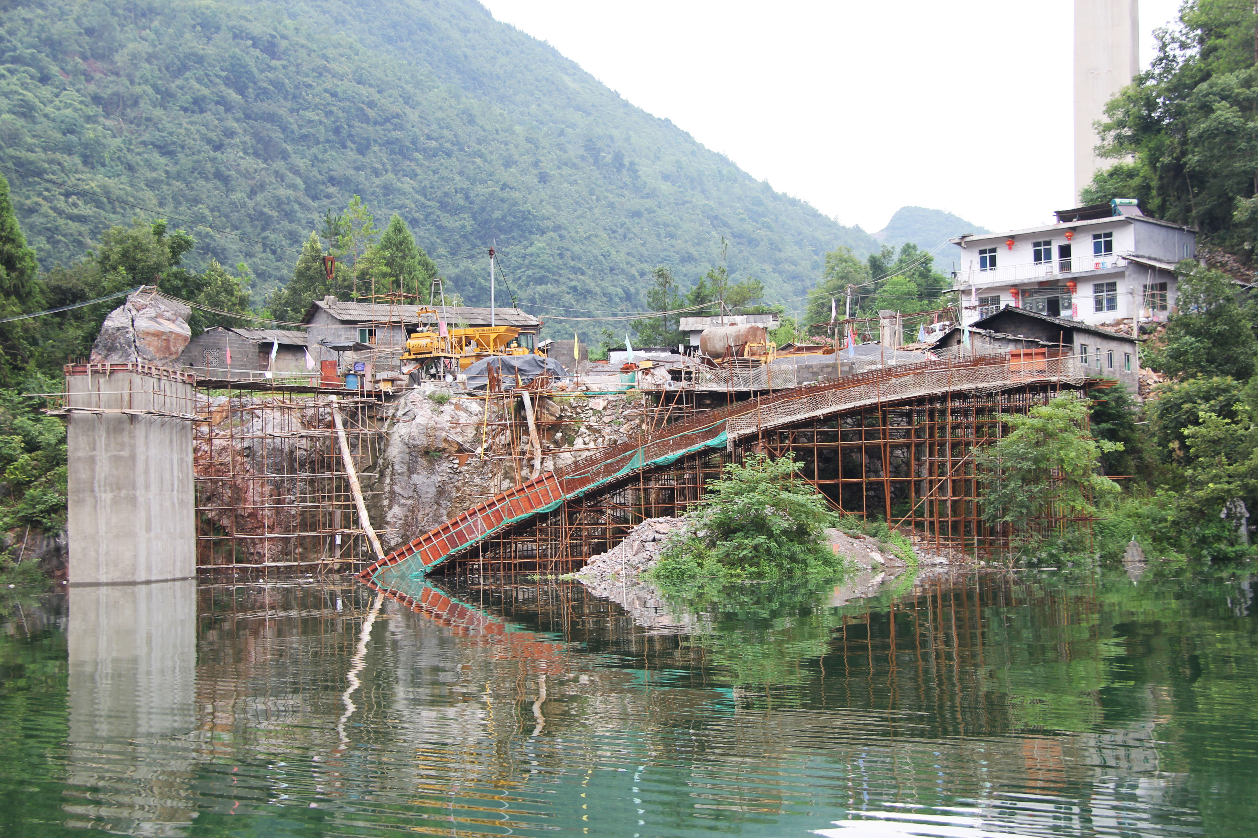
A bridge under construction across a tributary of the Mashui River. Image by Eric Sakowski / HighestBridges.com
Image by Eric Sakowski / HighestBridges.com
Image by Eric Sakowski / HighestBridges.com
Image by Eric Sakowski / HighestBridges.com
Image by Eric Sakowski / HighestBridges.com
Image by Eric Sakowski / HighestBridges.com
Image by Eric Sakowski / HighestBridges.com
Image by Eric Sakowski / HighestBridges.com
Image by Eric Sakowski / HighestBridges.com
Image by Eric Sakowski / HighestBridges.com
Image by Eric Sakowski / HighestBridges.com
Image by Eric Sakowski / HighestBridges.com
Image by Eric Sakowski / HighestBridges.com
Image by Eric Sakowski / HighestBridges.com
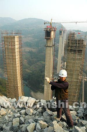
Image by www.enshi.cn
Image by Eric Sakowski / HighestBridges.com
Image by Eric Sakowski / HighestBridges.com
Image by Eric Sakowski / HighestBridges.com
Image by Eric Sakowski / HighestBridges.com
Image by Eric Sakowski / HighestBridges.com
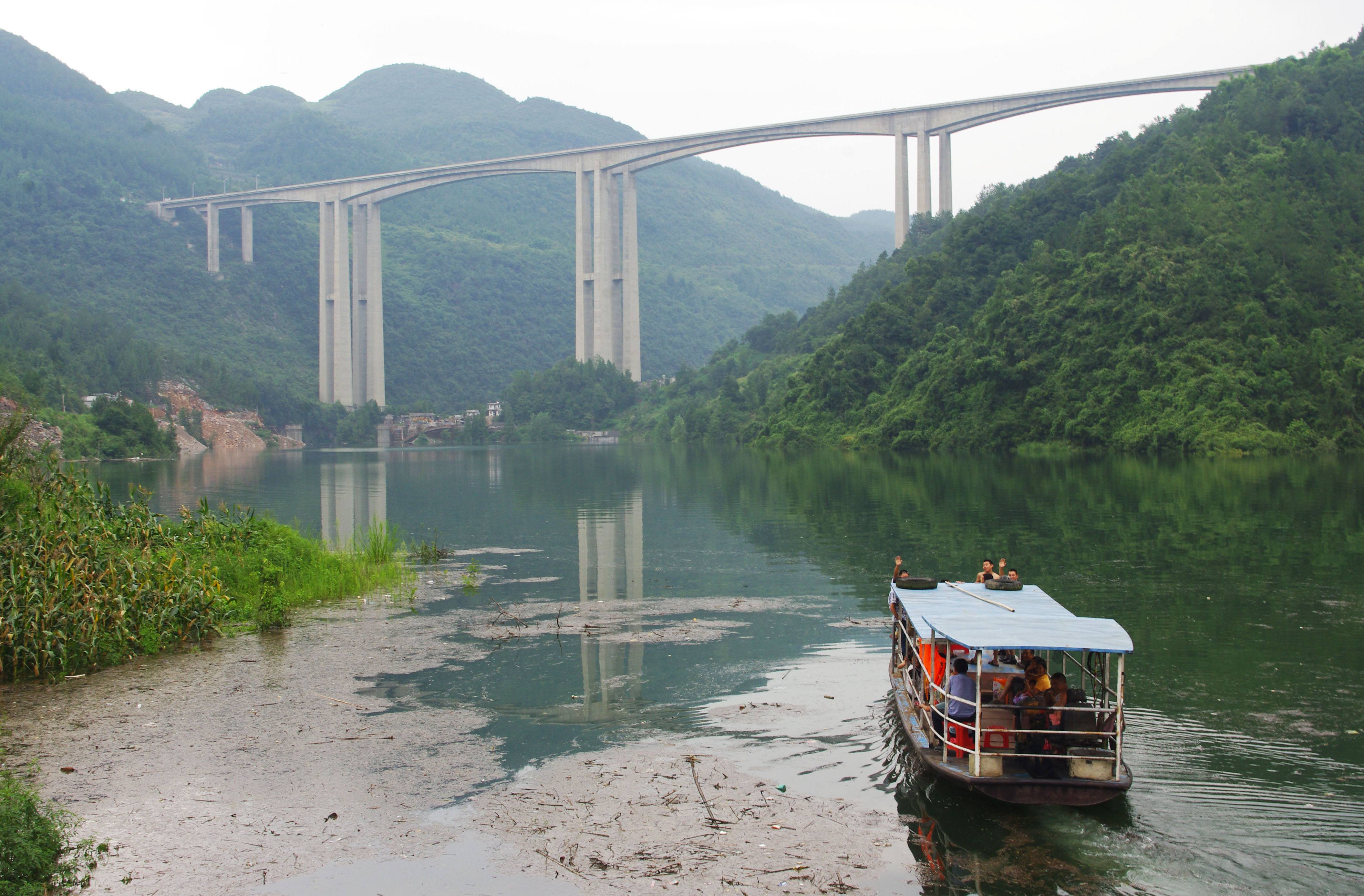
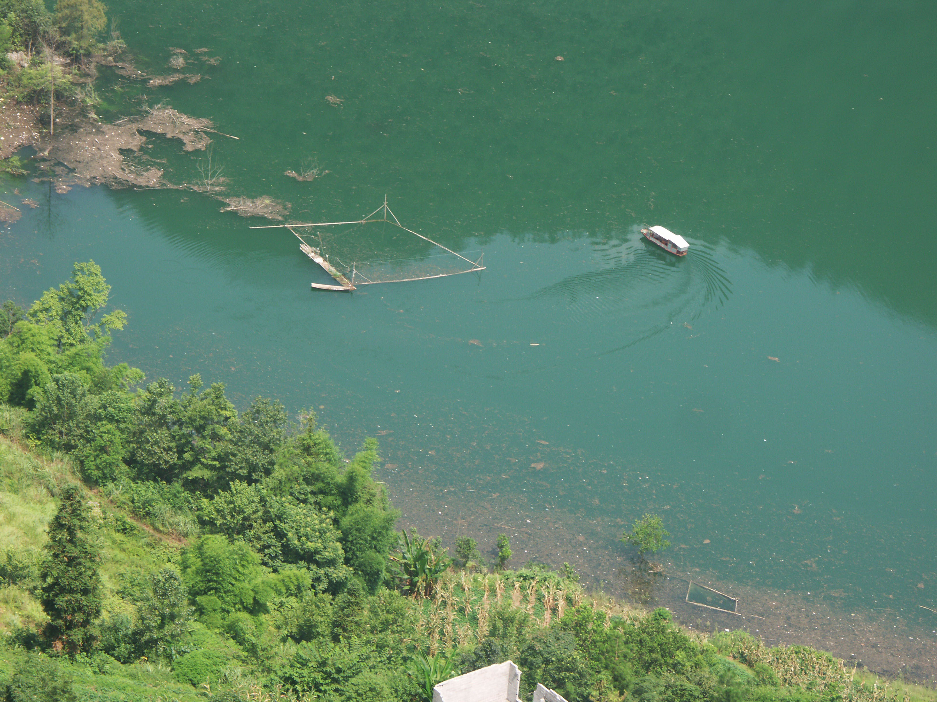
You can take boat tours on the lake. Image by Eric Sakowski / HighestBridges.com
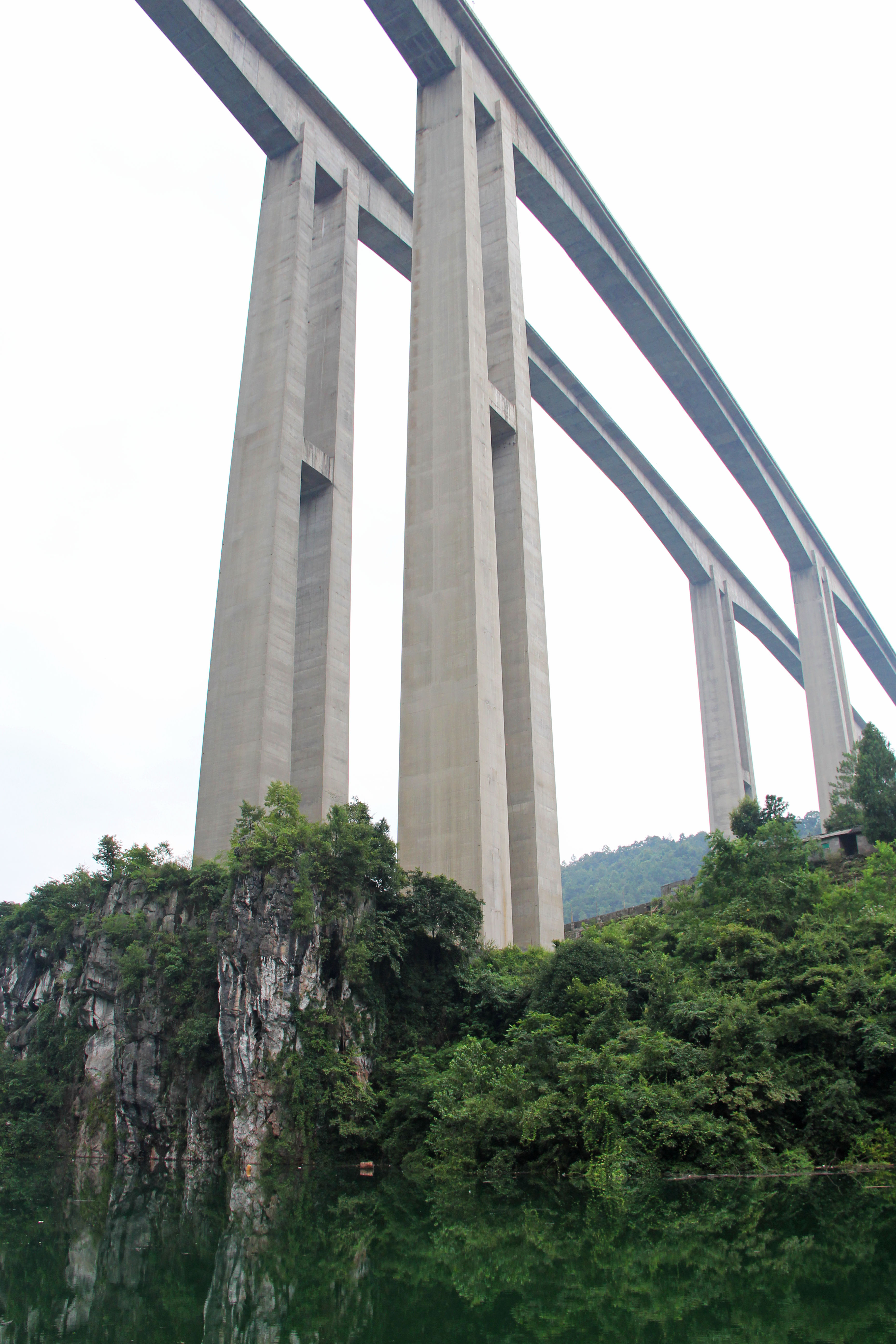
The eastbound viaduct is slightly shorter and lower then the westbound lanes shown below. Image by Eric Sakowski / HighestBridges.com
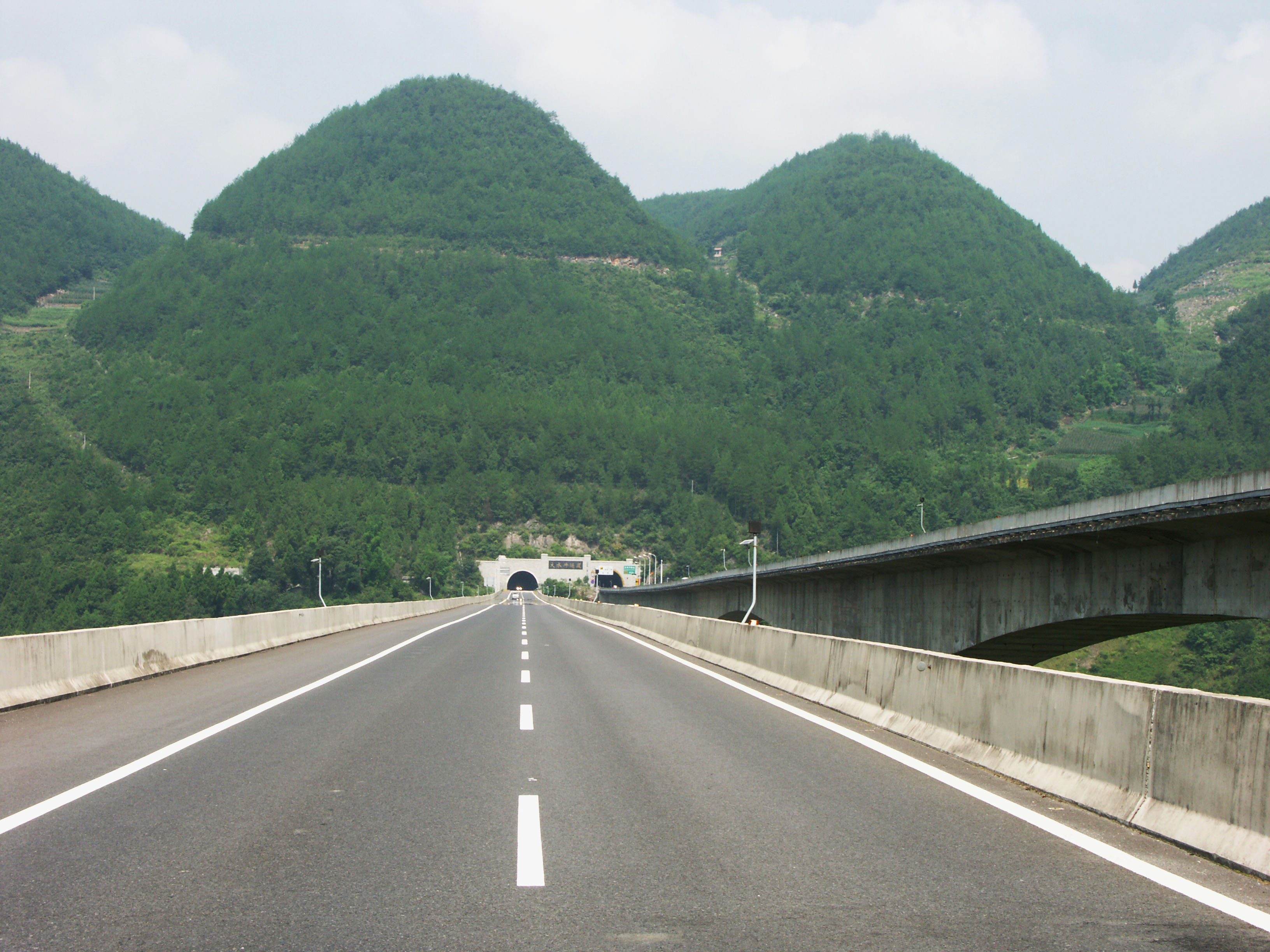
The westbound viaduct opened in 2008 with one lane of traffic in each direction. The eastbound viaduct opened in 2009. Image by Eric Sakowski / HighestBridges.com
Mashuihe Bridge satellite image.
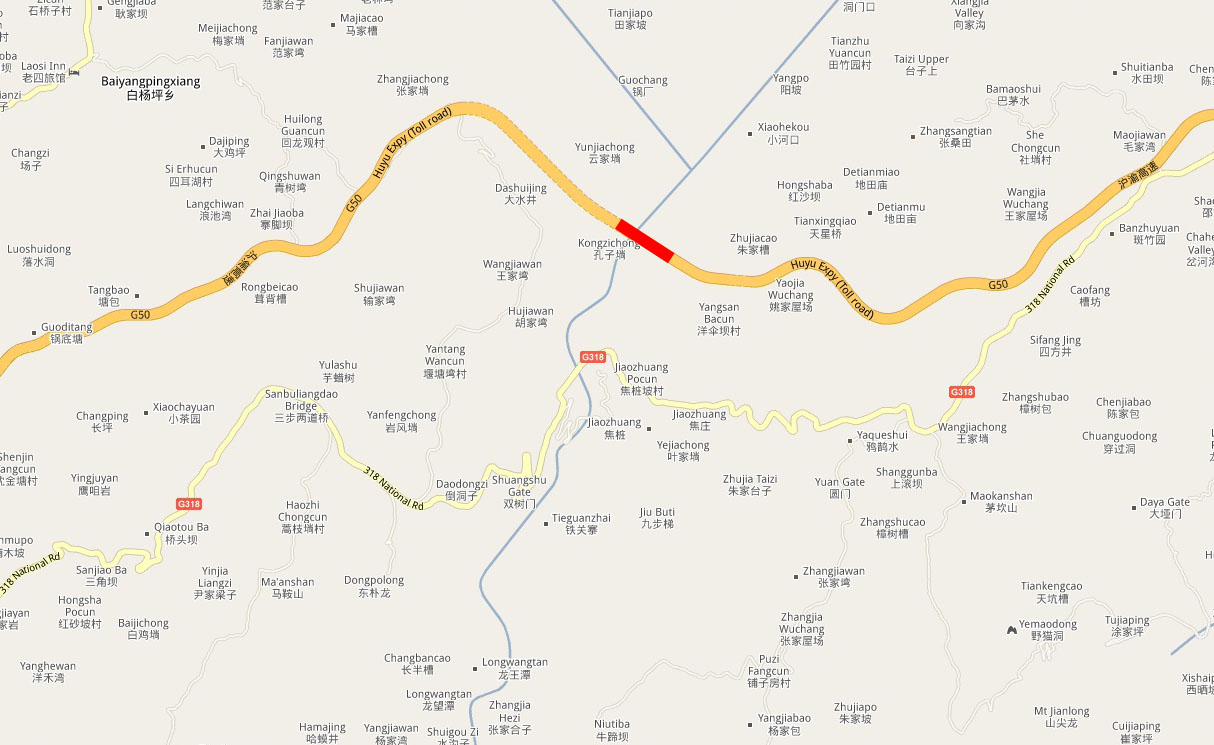
Mashuihe River Viaduct location map. Just 2 miles (3 kms) south of Mashuihe is the Nanlidu arch bridge on National Road 318.
