Nanpanjiang Bridge Yiliang
Nanpanjiang Bridge Yiliang
宜良南盘江大桥
Lingyuanzhai, Yunnan, China
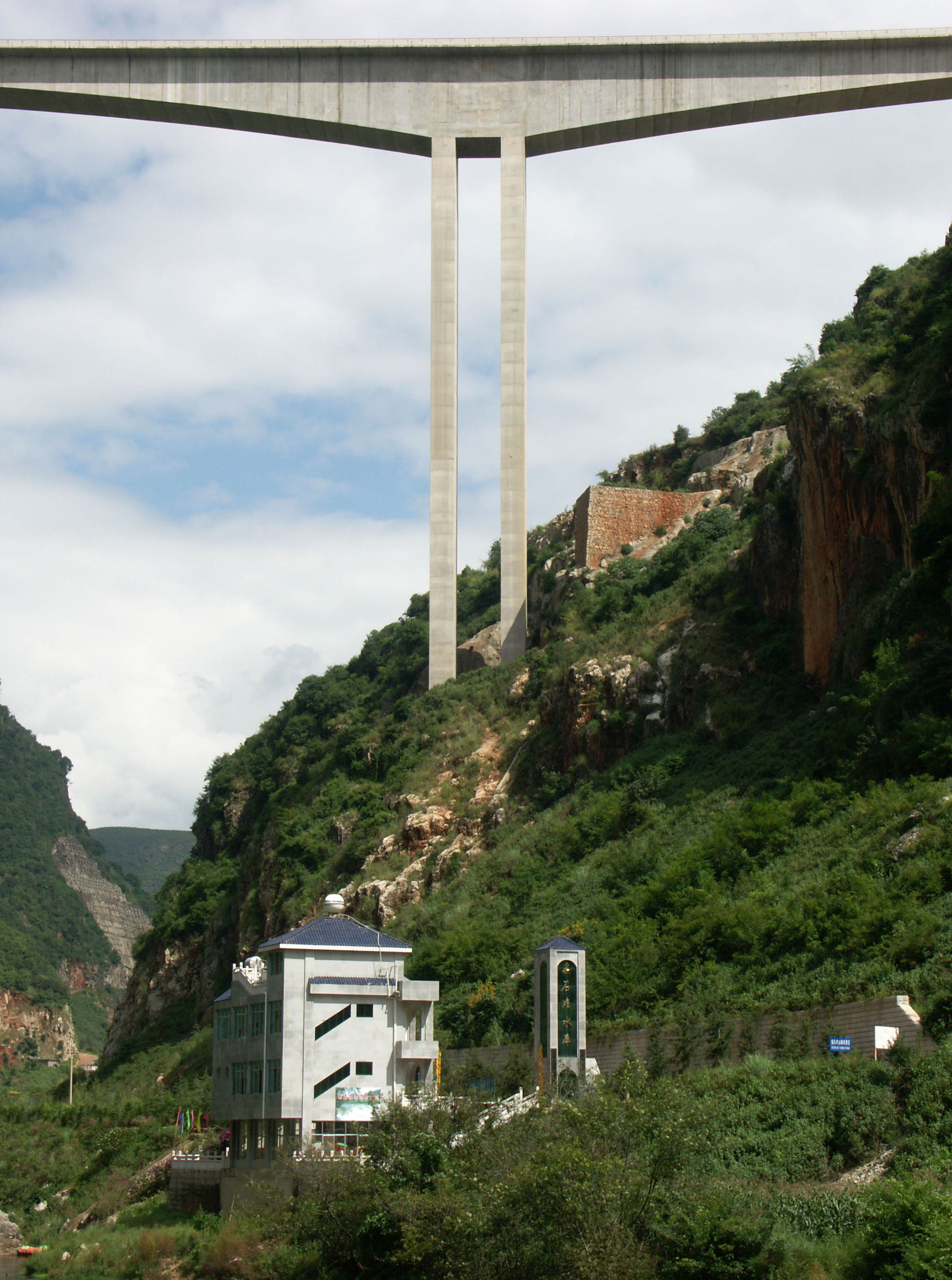
548 feet high / 167 meters high
722 foot span / 220 meter span
2006
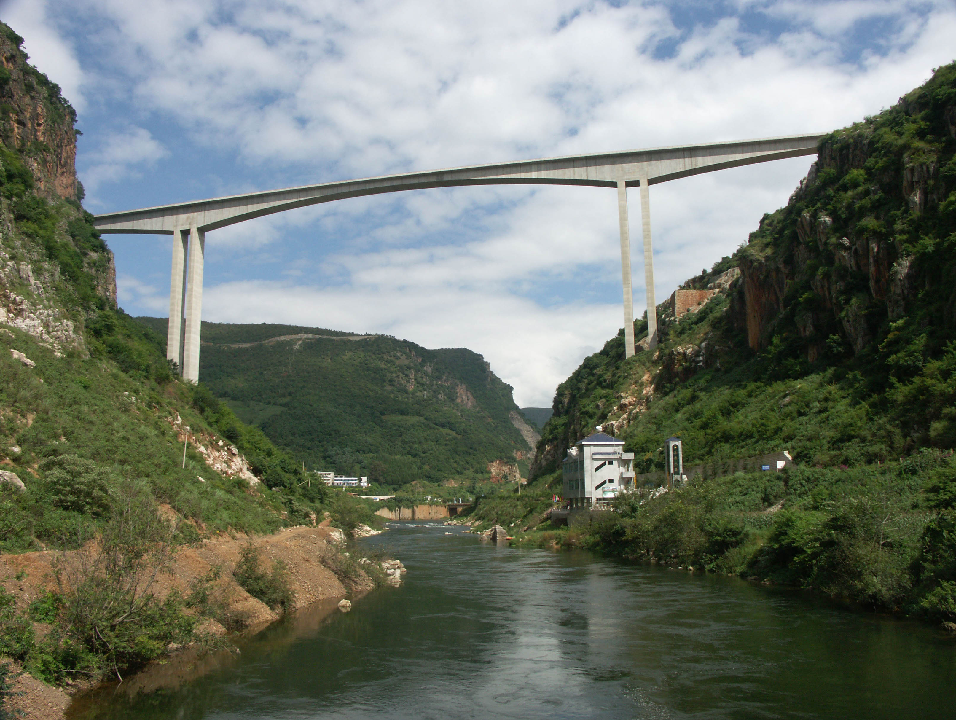
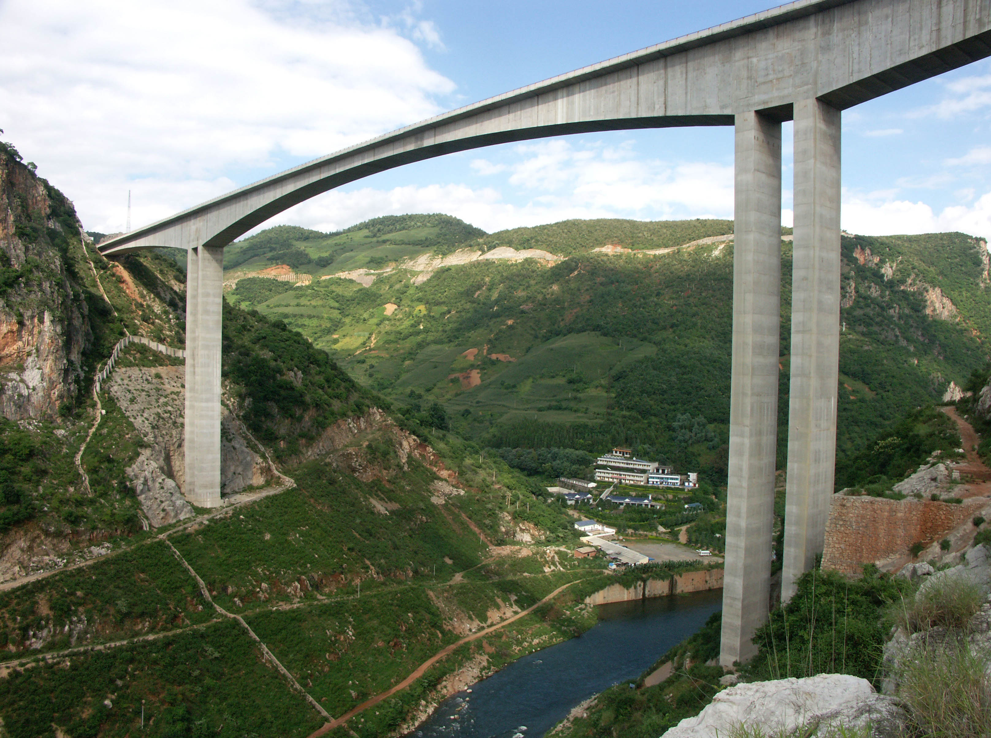
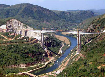
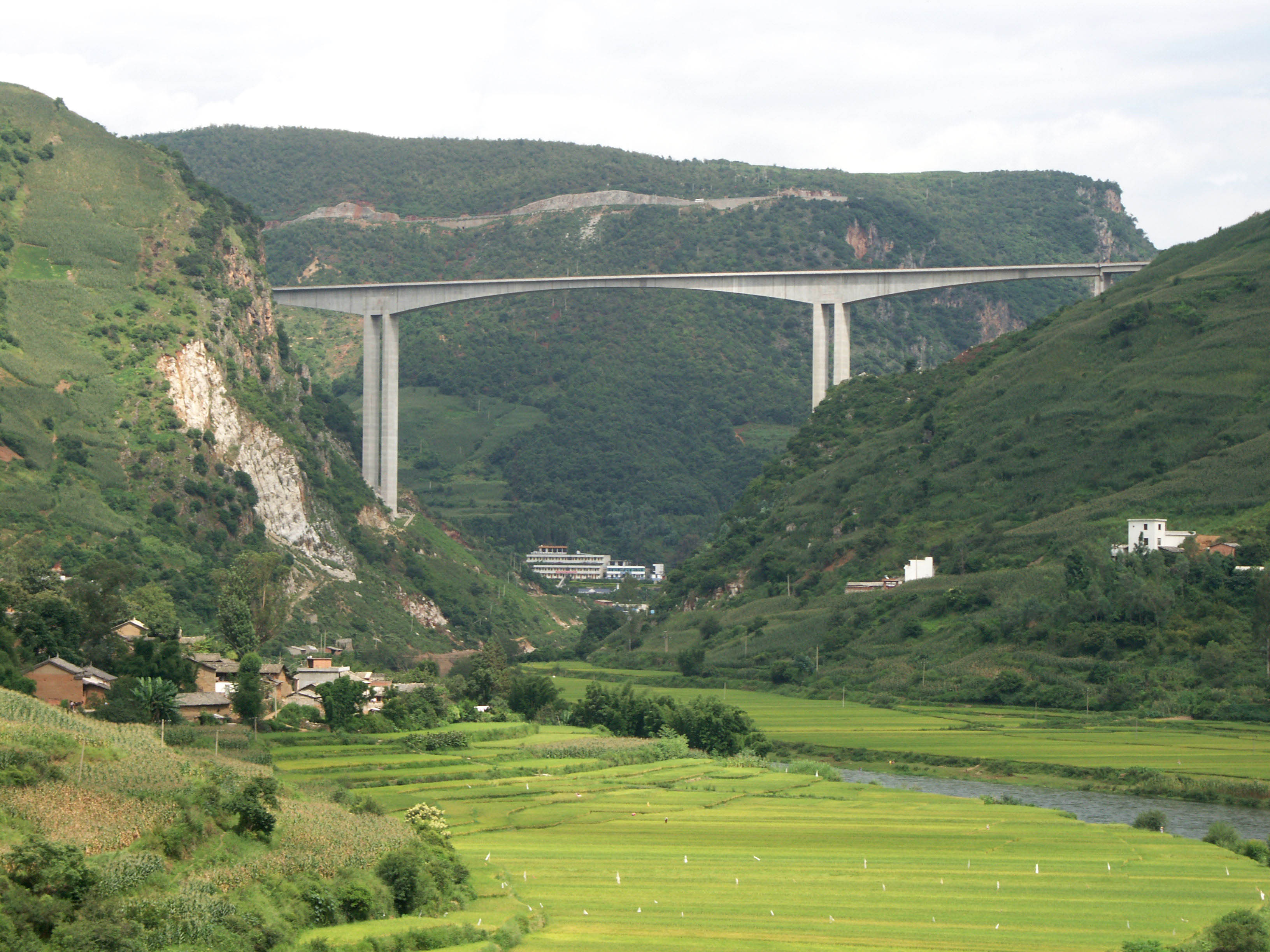
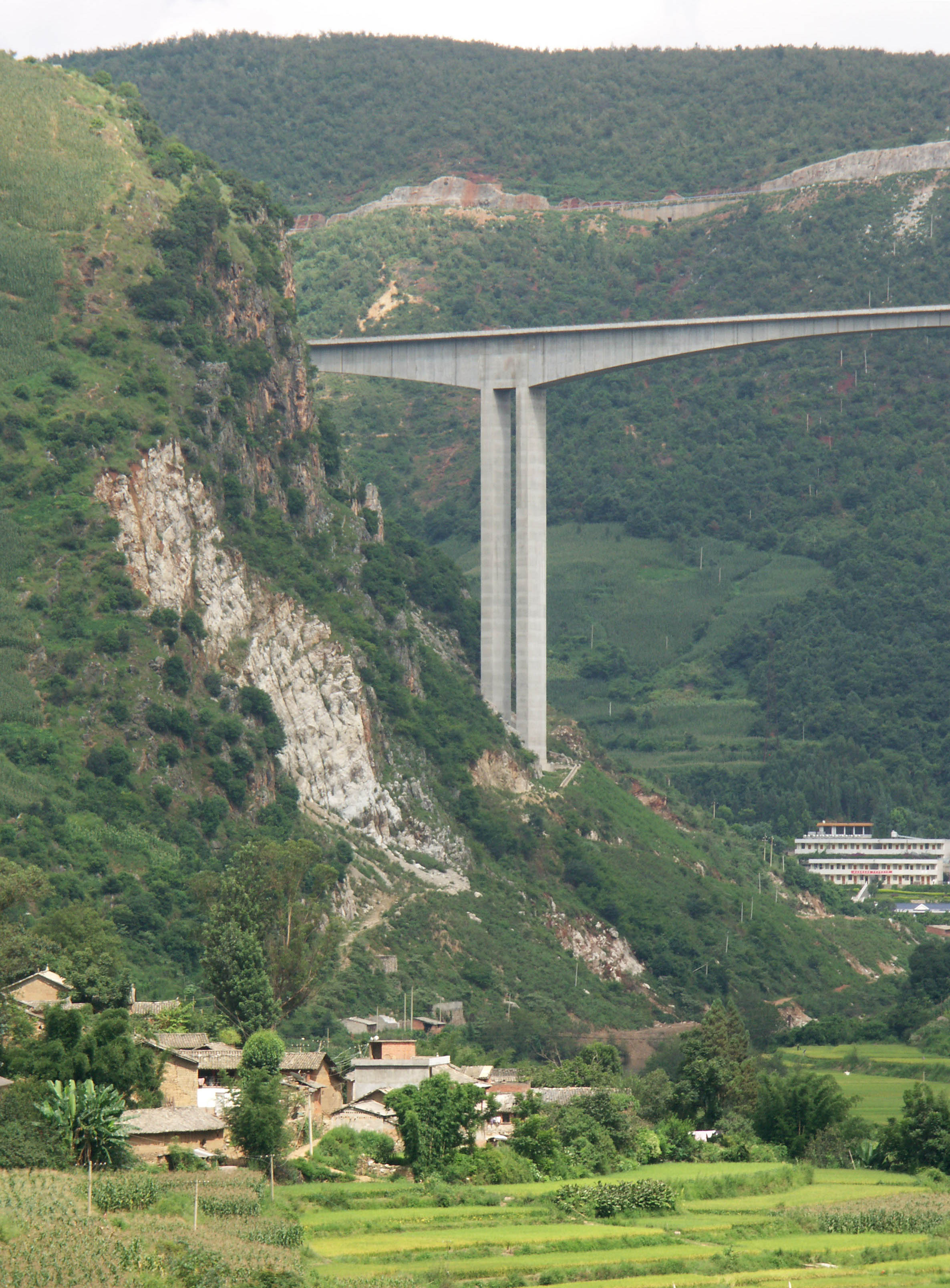
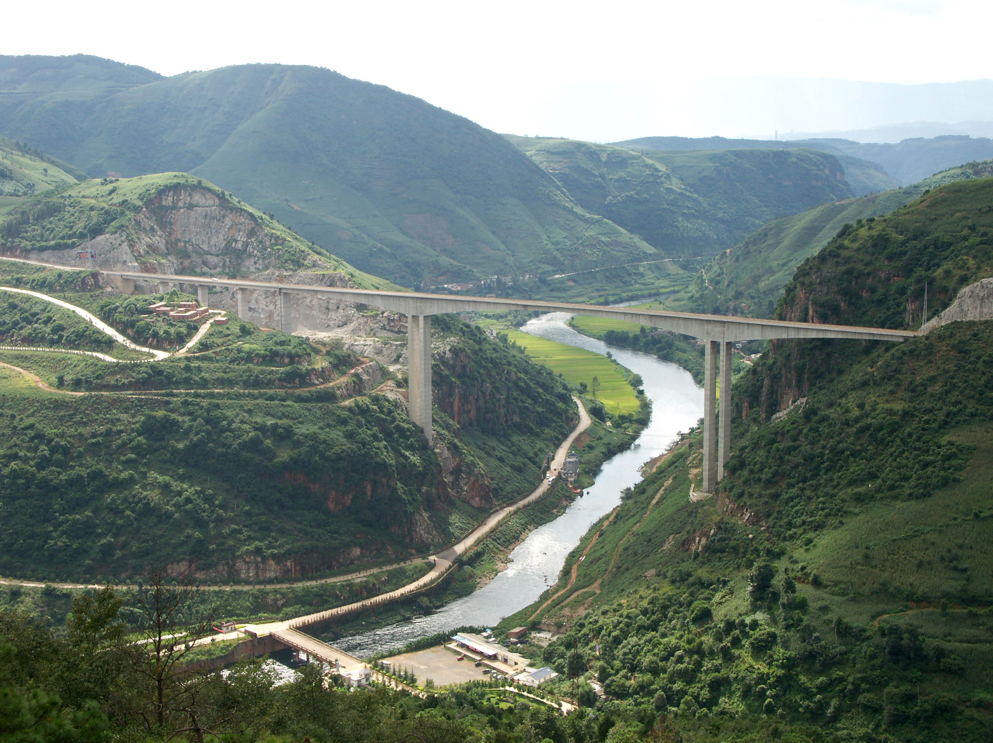
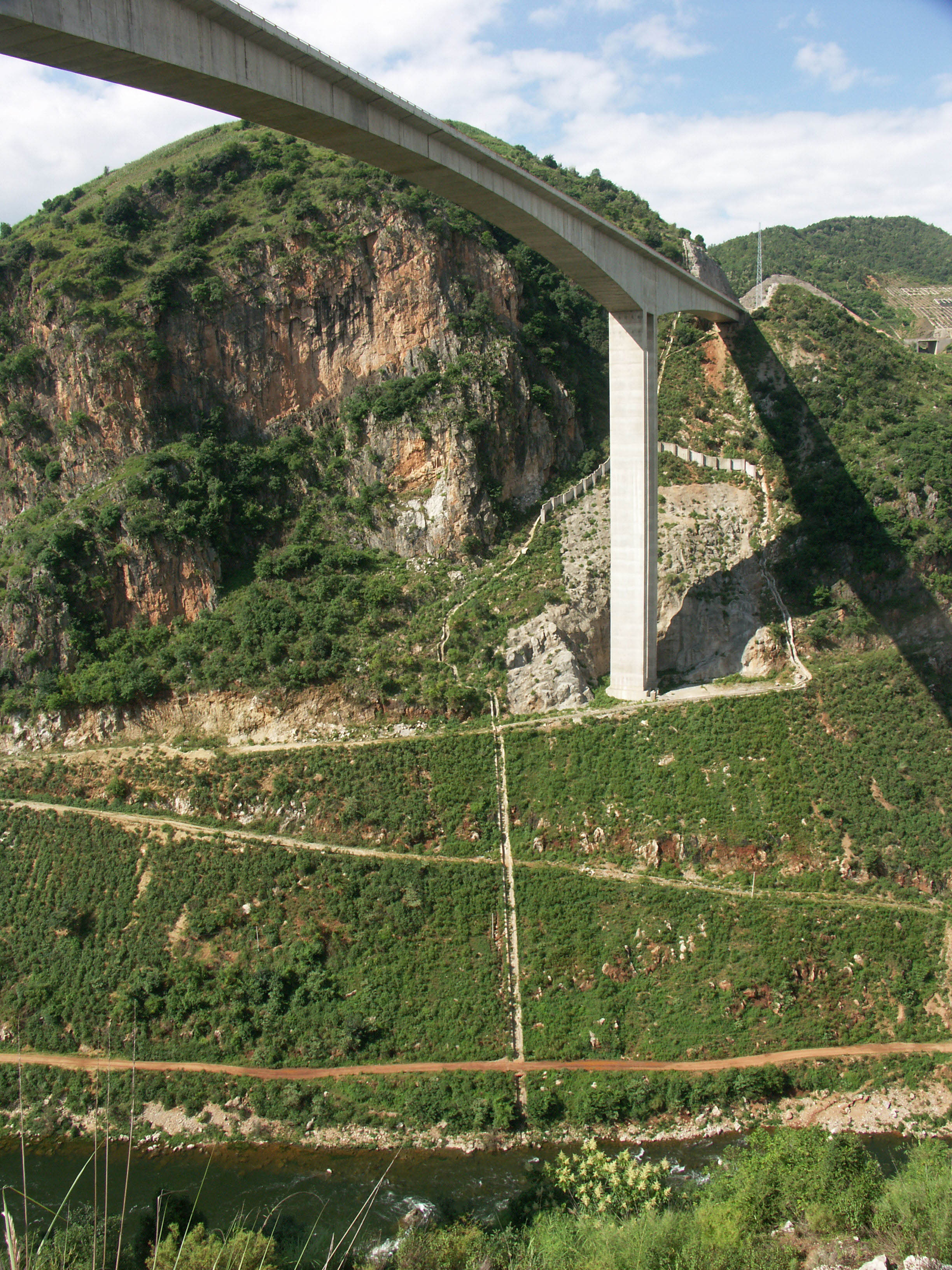
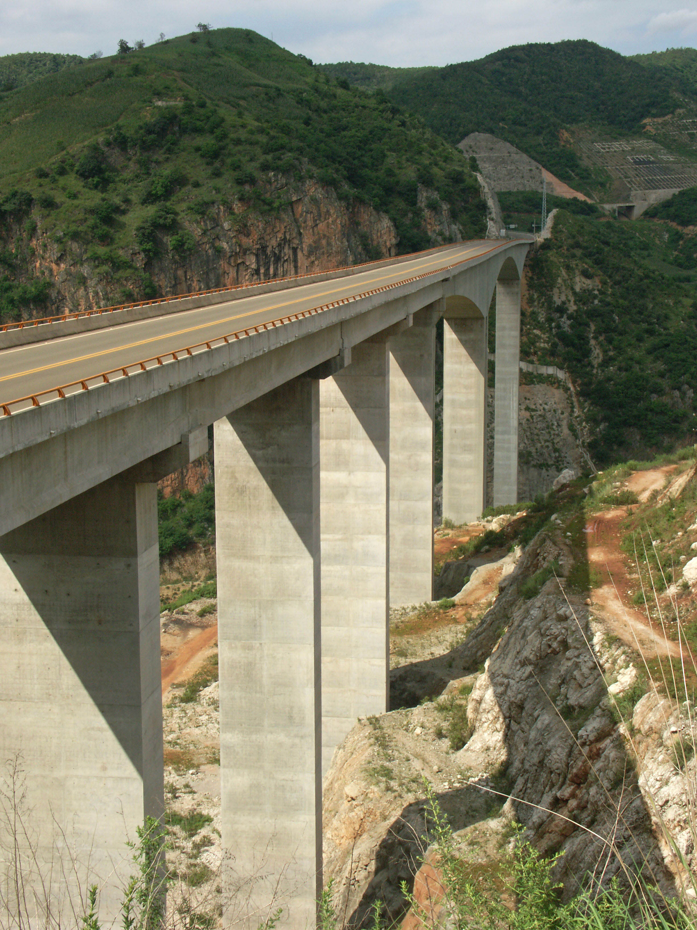
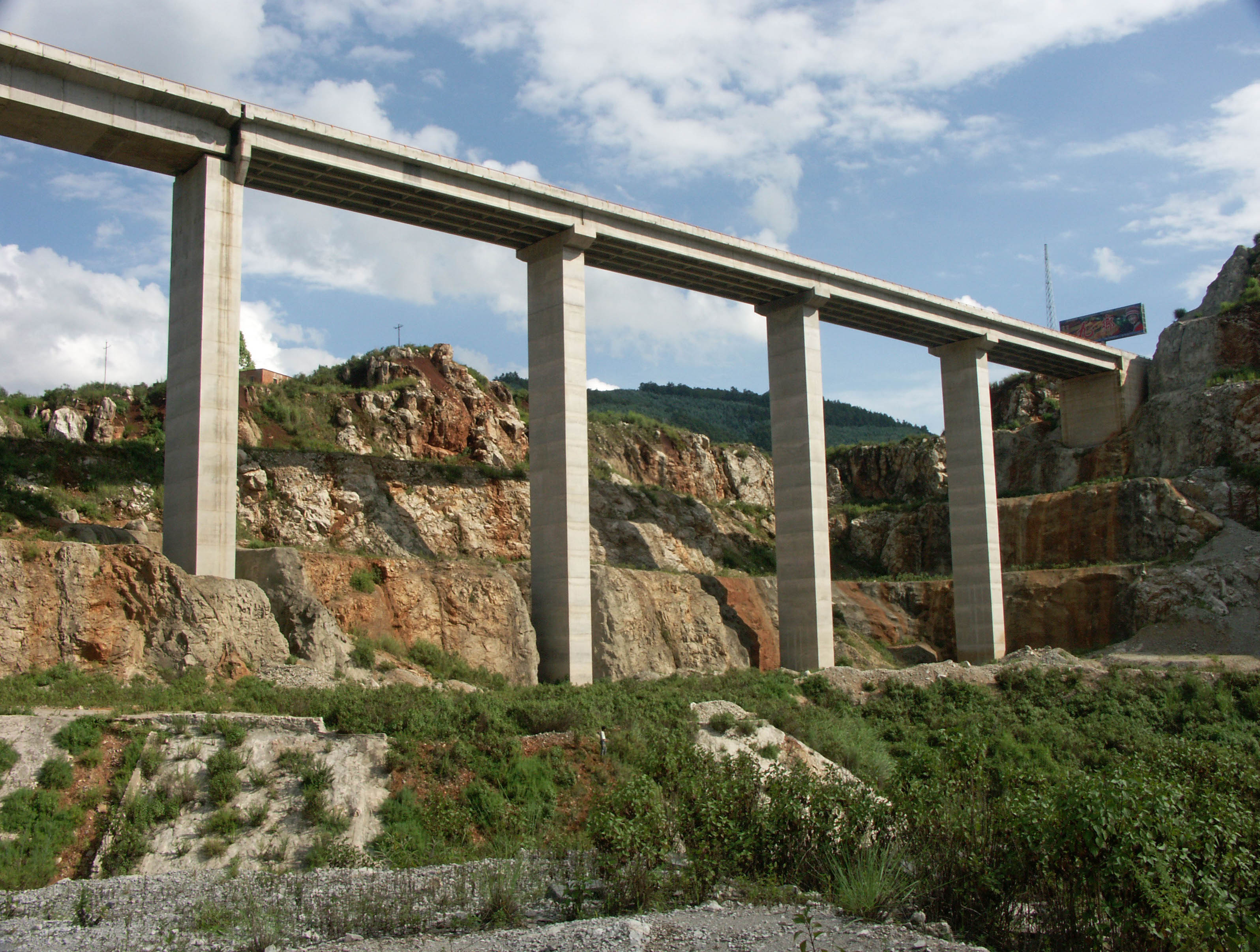
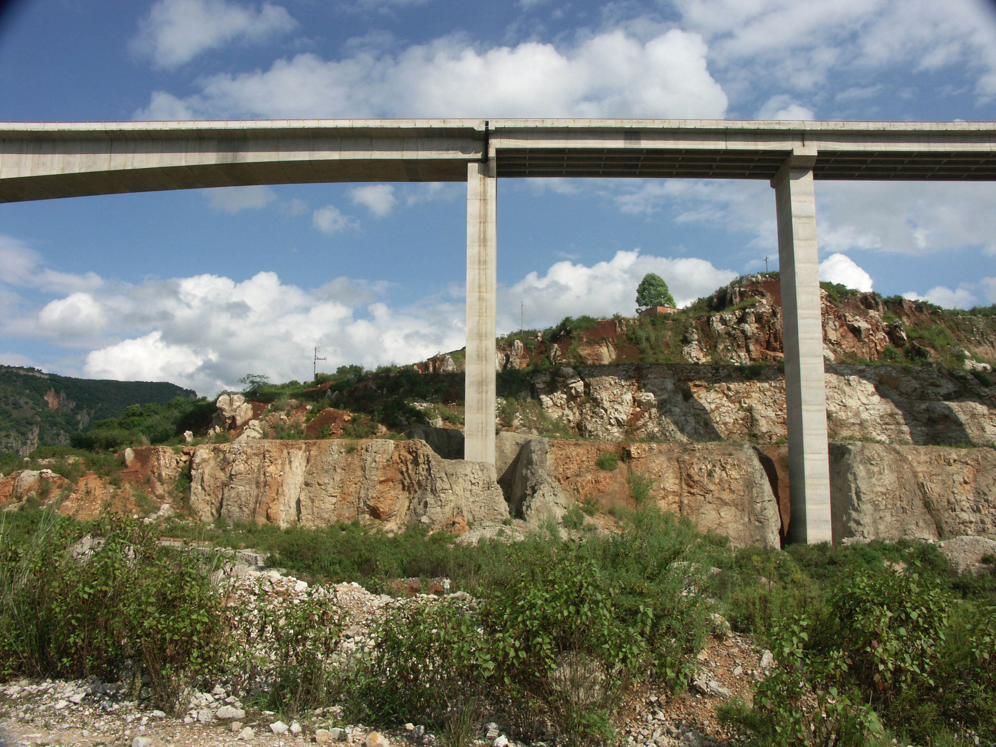
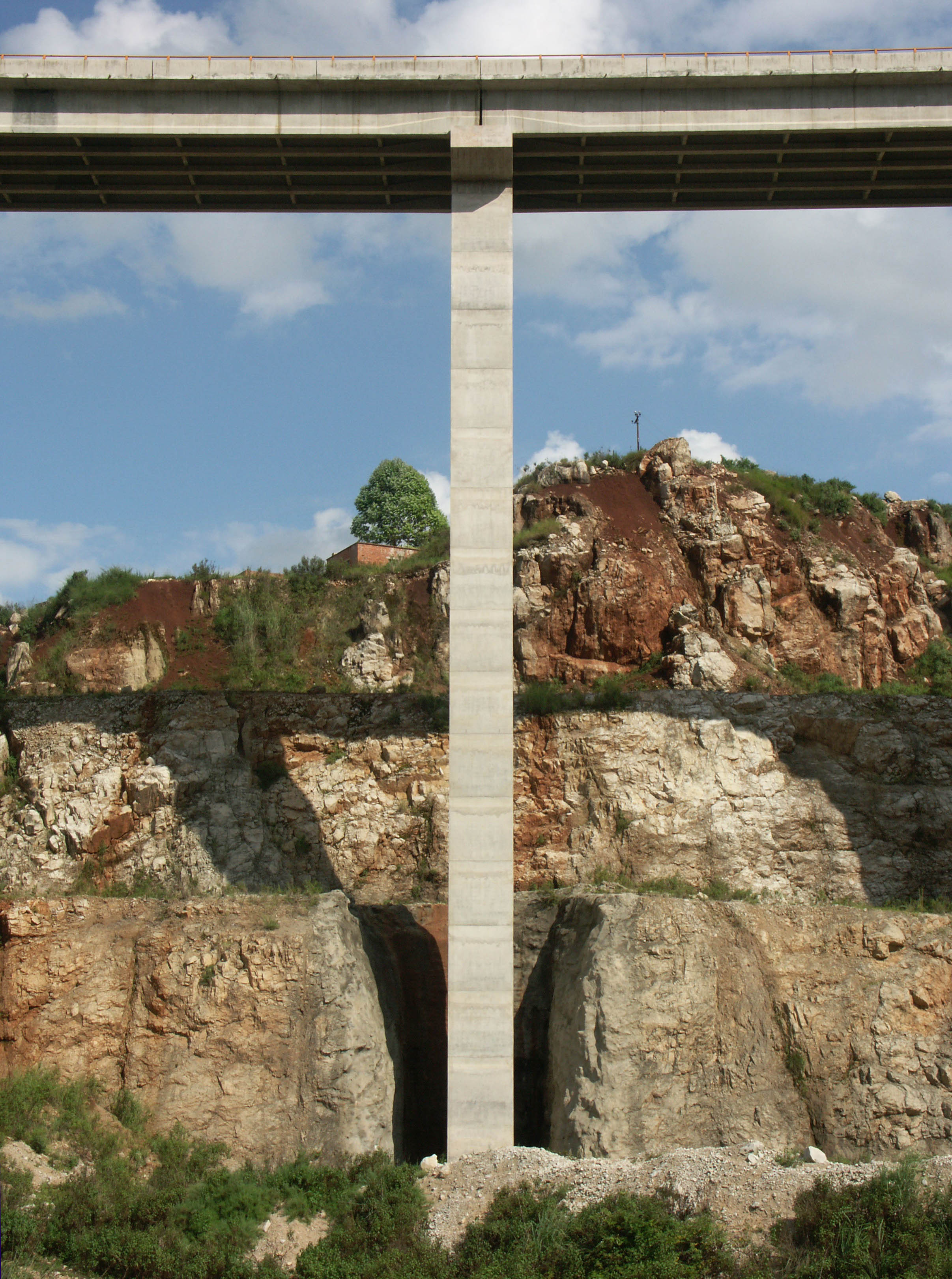
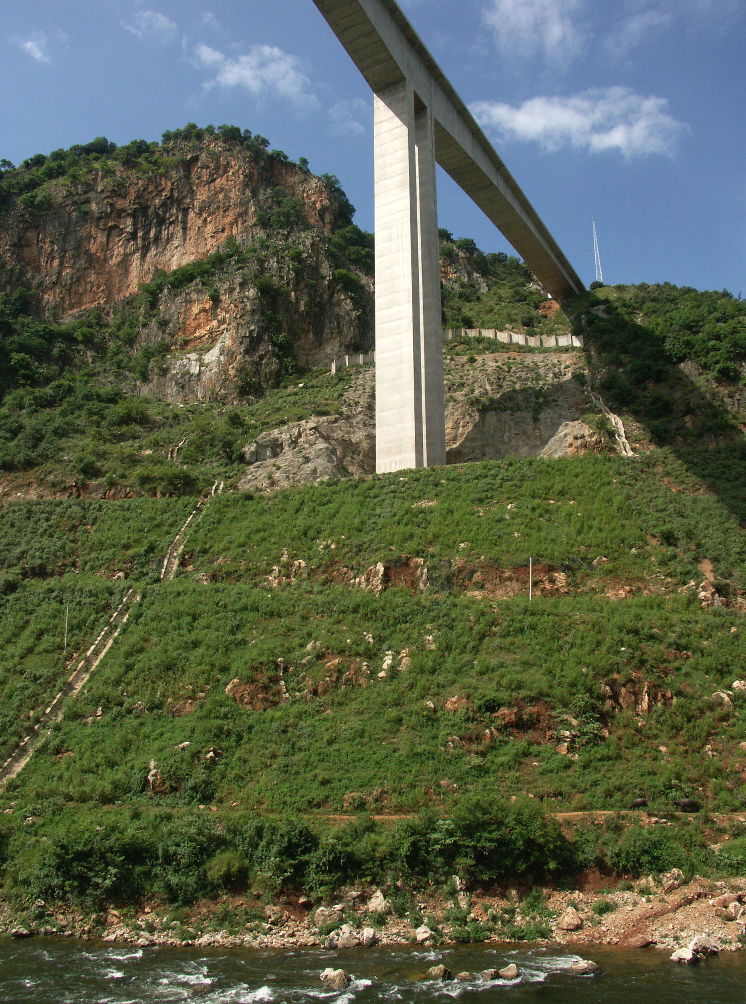
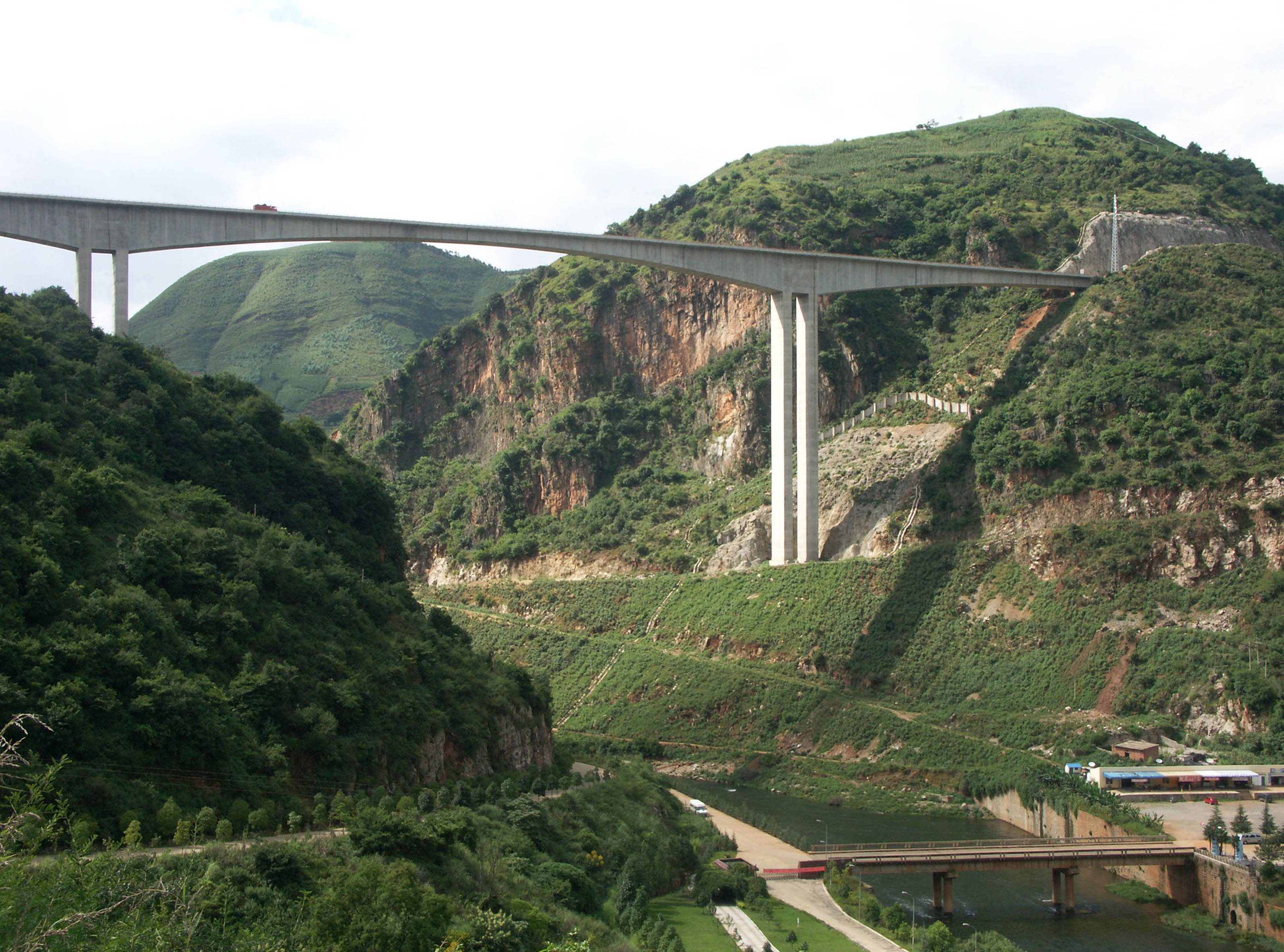
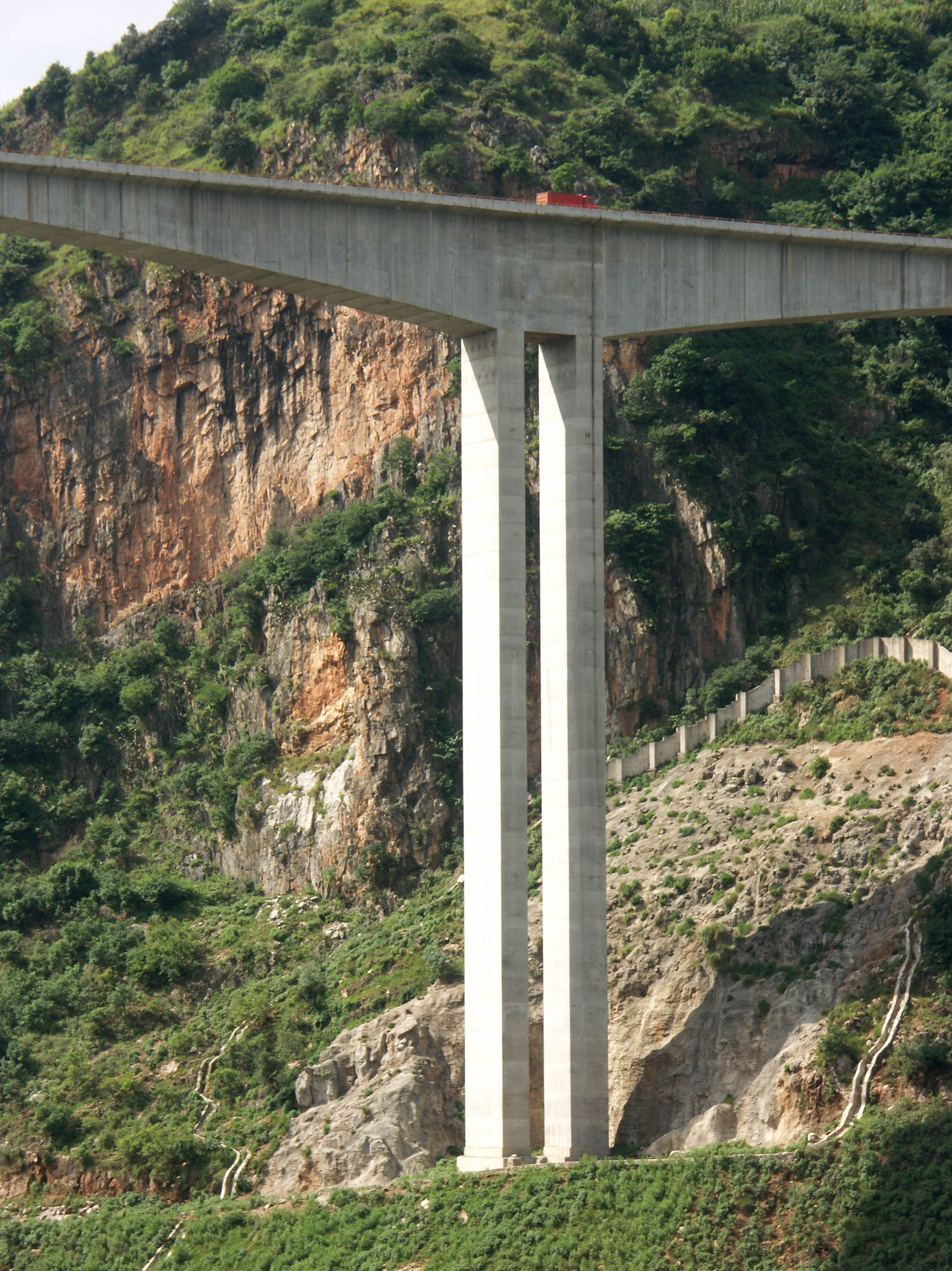
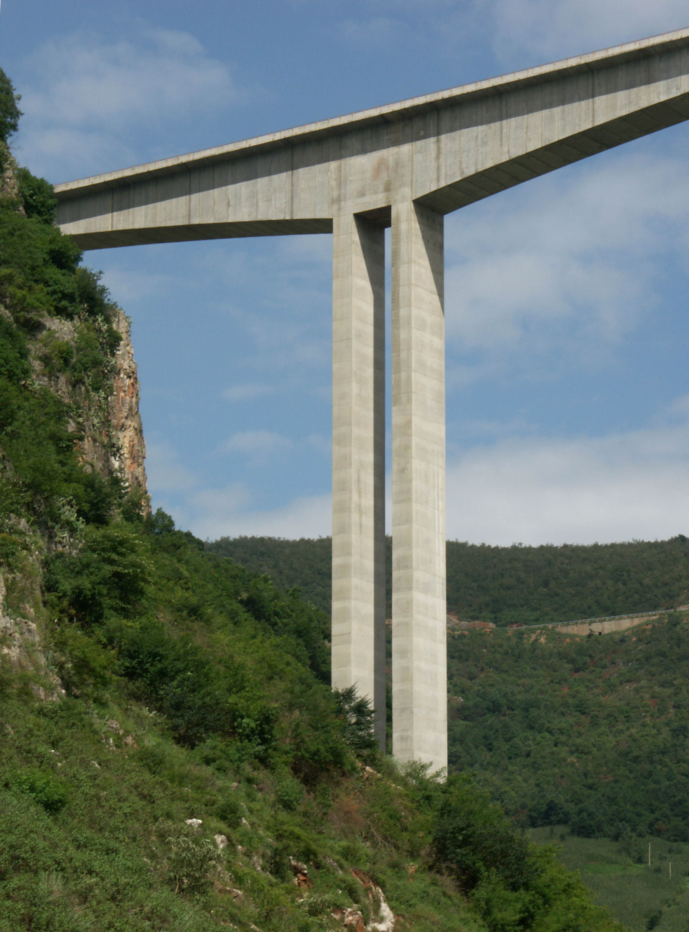
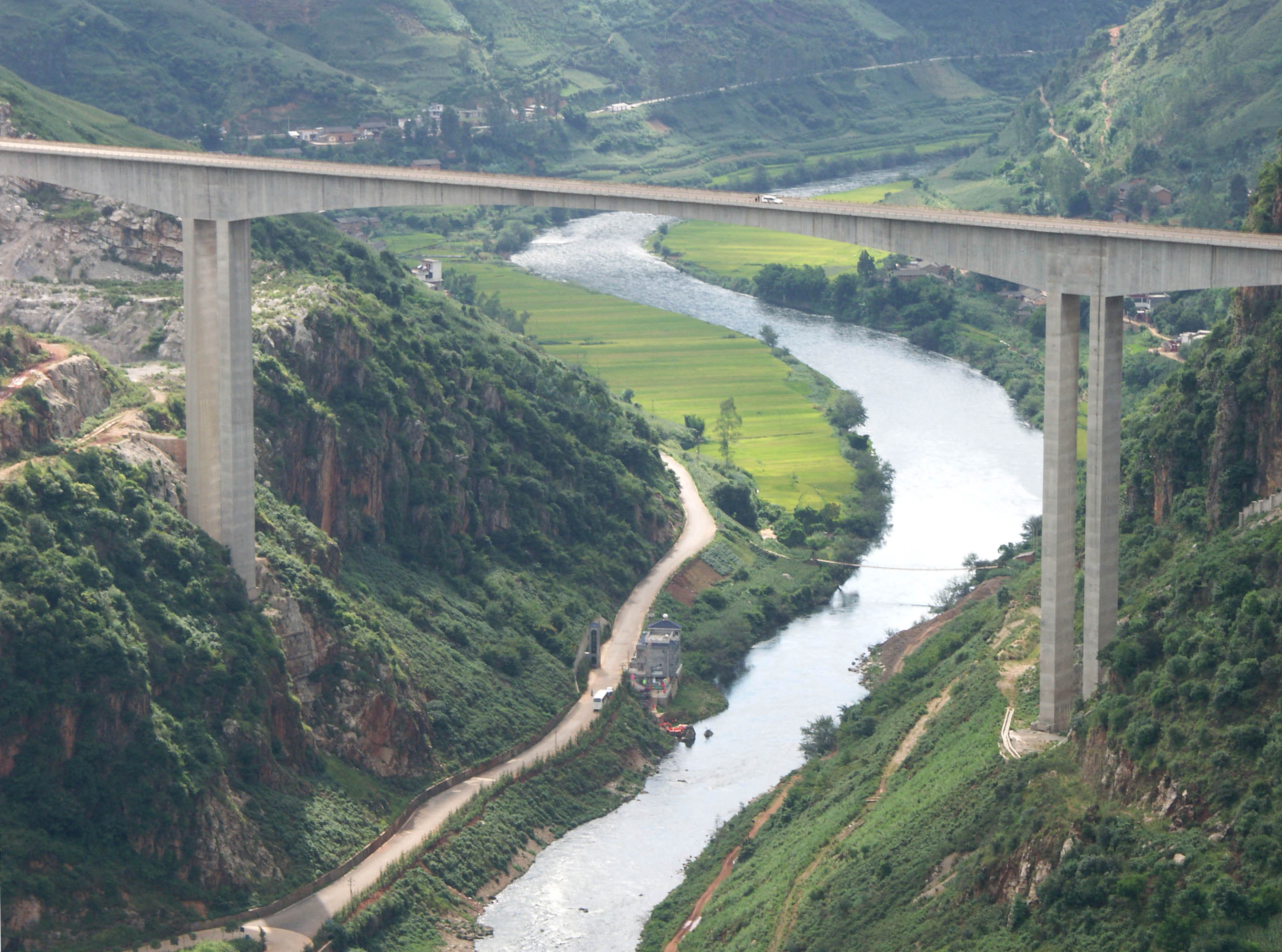
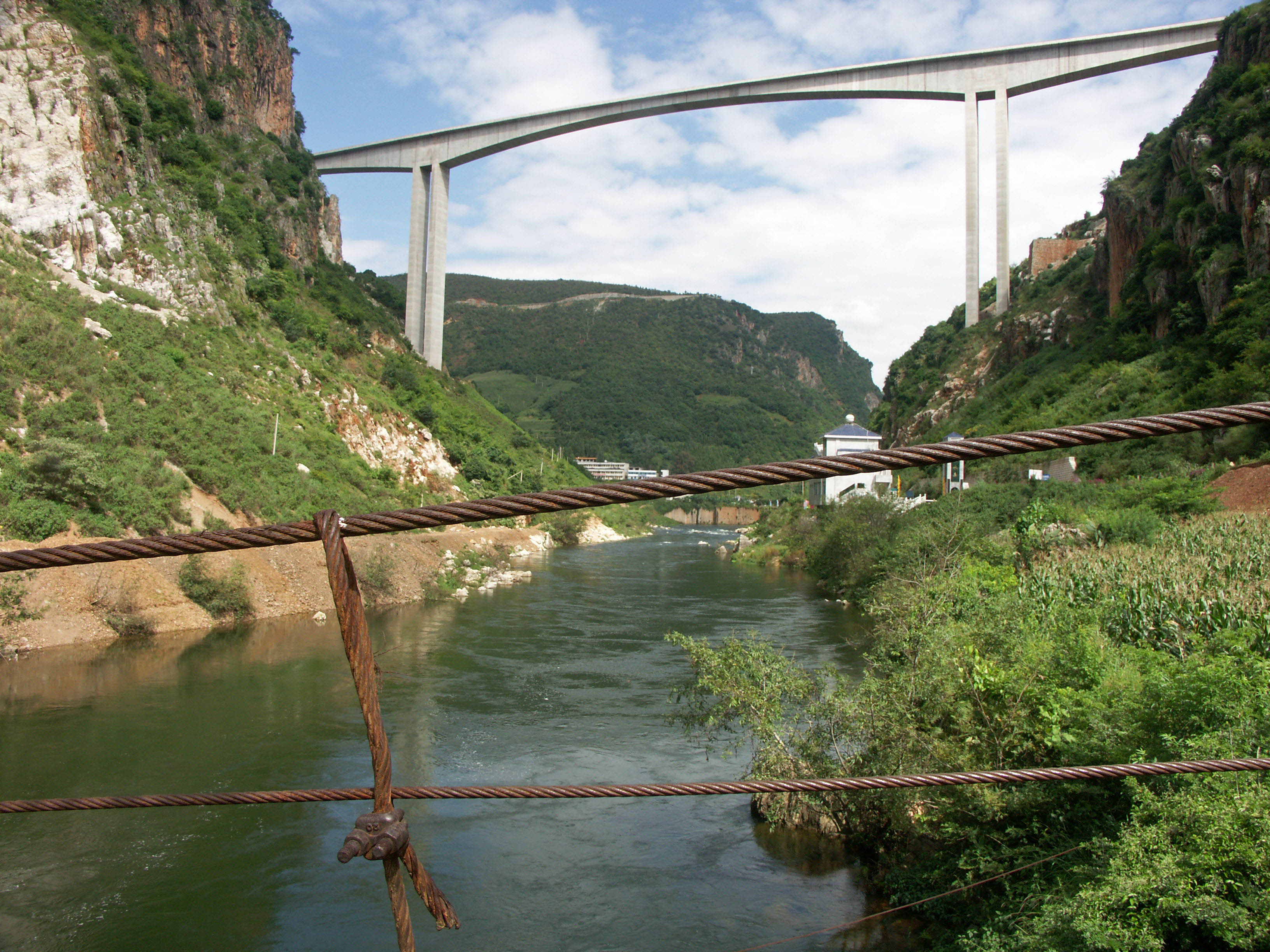
The Nanpanjiang bridge is one of 4 massive continuous rigid-frame bridges that opened in Western China’s Yunnan province between 2003 and 2009. Three of the bridges are similar in height while only one of them carries 4 lanes of traffic.
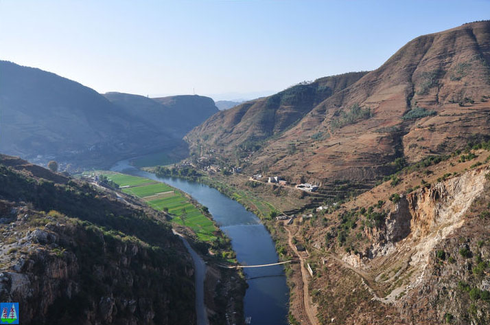
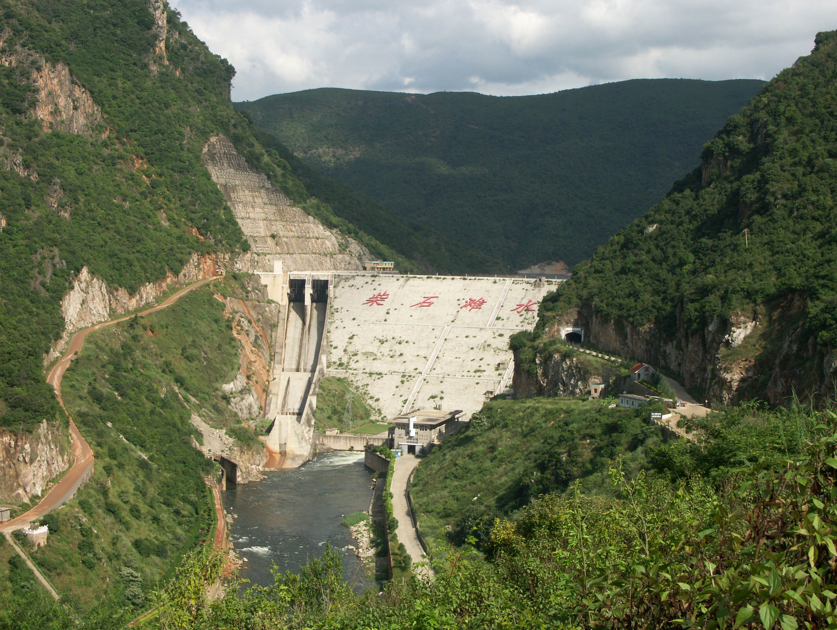
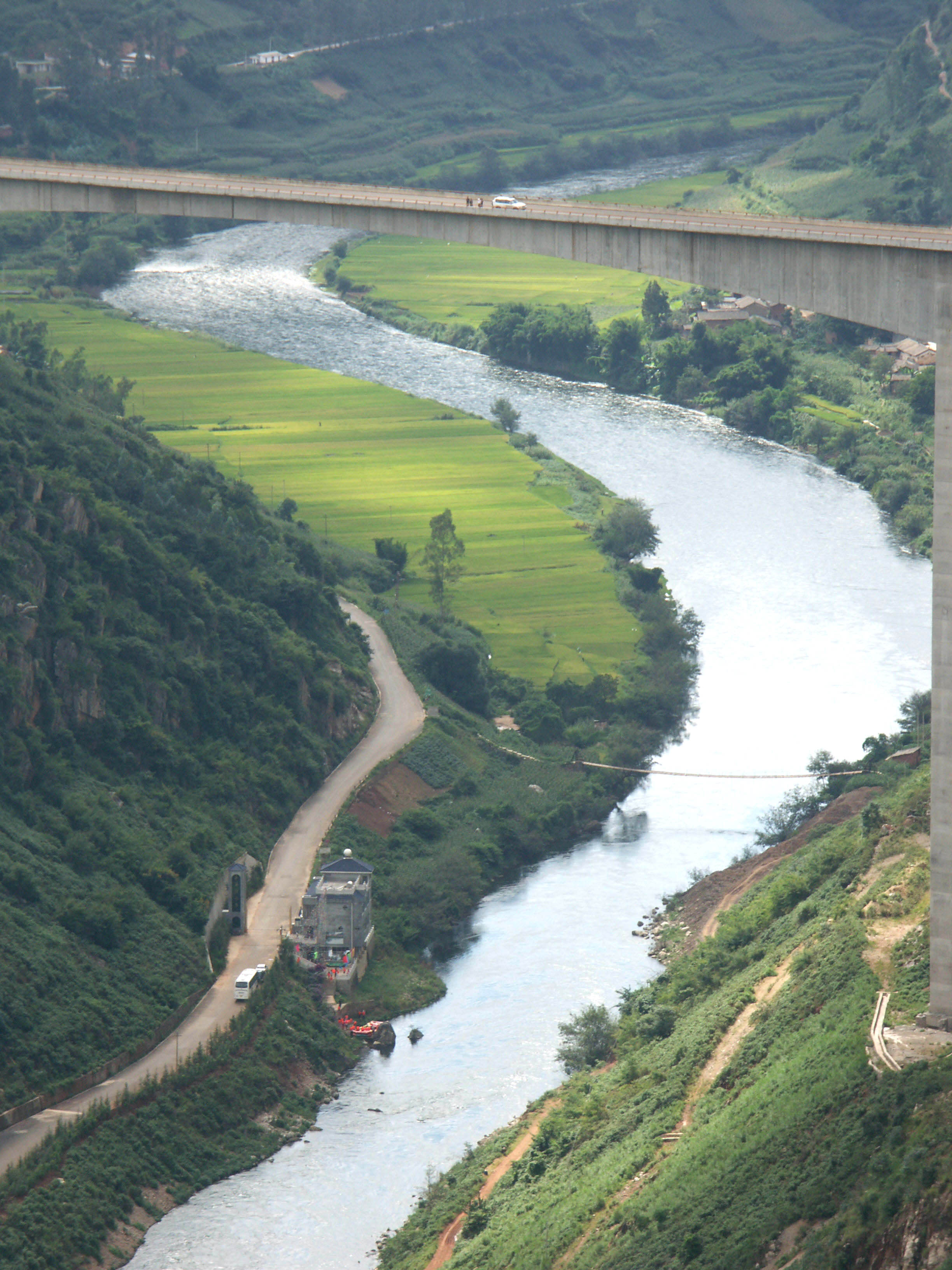
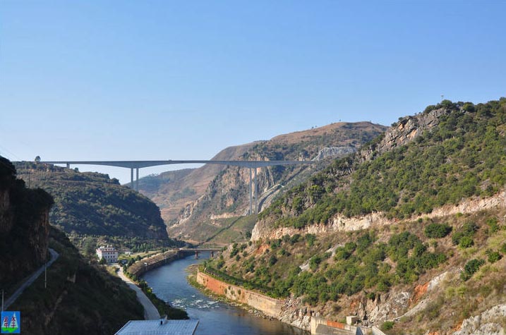
Located on the Jiuxiang-Shilin-Alugudong road about 70 miles (113 km) east of Kunming, the towering 2-lane beam bridge takes a large leap across the Nan Pan river with a main span of 722 feet (220 mtr). Just a mile upstream of the bridge is the Chaishitan dam and reservoir. The mighty river is one of the region’s largest, winding west out of Yunnan Province where it becomes the southern border of Guizhou Province and meets the Beipanjiang where the two rivers join forces and become the Hong Shui he. One of China’s higher railway bridges also crosses the Nanpanjiang and is notable for its large V-shaped pier supports.
Despite signs telling people not to stop on the Nanpanjiang bridge, never more than 15 minutes went by before someone pulled over, got out and took a look over the barrier!
If you plan on visiting the Nanpanjiang, be sure to stop by the famous Stone Forest, located nearby in the city of Shilin.
南盘江大桥是2003至2009年之间在中国西南省份云南建成的四座特大连续刚构桥之一。其他三座桥梁拥有着类似的高度,仅有一座是四车道桥梁。
位于昆明以东70英里(113公里)处的九乡-石林-阿庐古洞的双车道公路上,高耸的梁桥跨越过南盘江,主跨220米。 就在上游1英里坐落着柴石滩大坝和水库。这条河流是该地区最大的水系,蜿蜒着流出了云南省,直至贵州省南部边境和北盘江汇流而成红水河。中国铁路桥梁中最高的一座也跨越了南盘江,并且以其巨大的V型顿支撑桥墩而著名。
尽管警示牌告诉人们不要在南盘江大桥上停留,在有人停下车来之前不超过15分钟时间,在其上行走,走到桥头附近可以看到大桥的侧面风景。
如果你打算参观南盘江大桥,记住一定要在著名的经典石林停留,就在石林市附近。
Image by Eric Sakowski / HighestBridges.com
Image by Eric Sakowski / HighestBridges.com
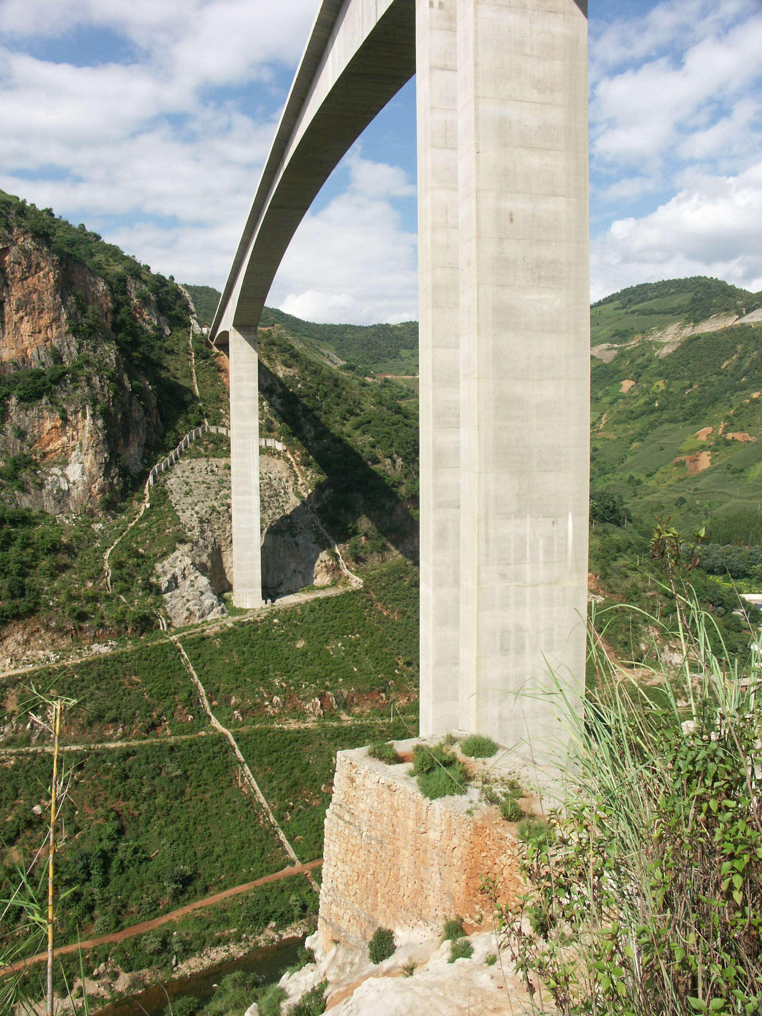
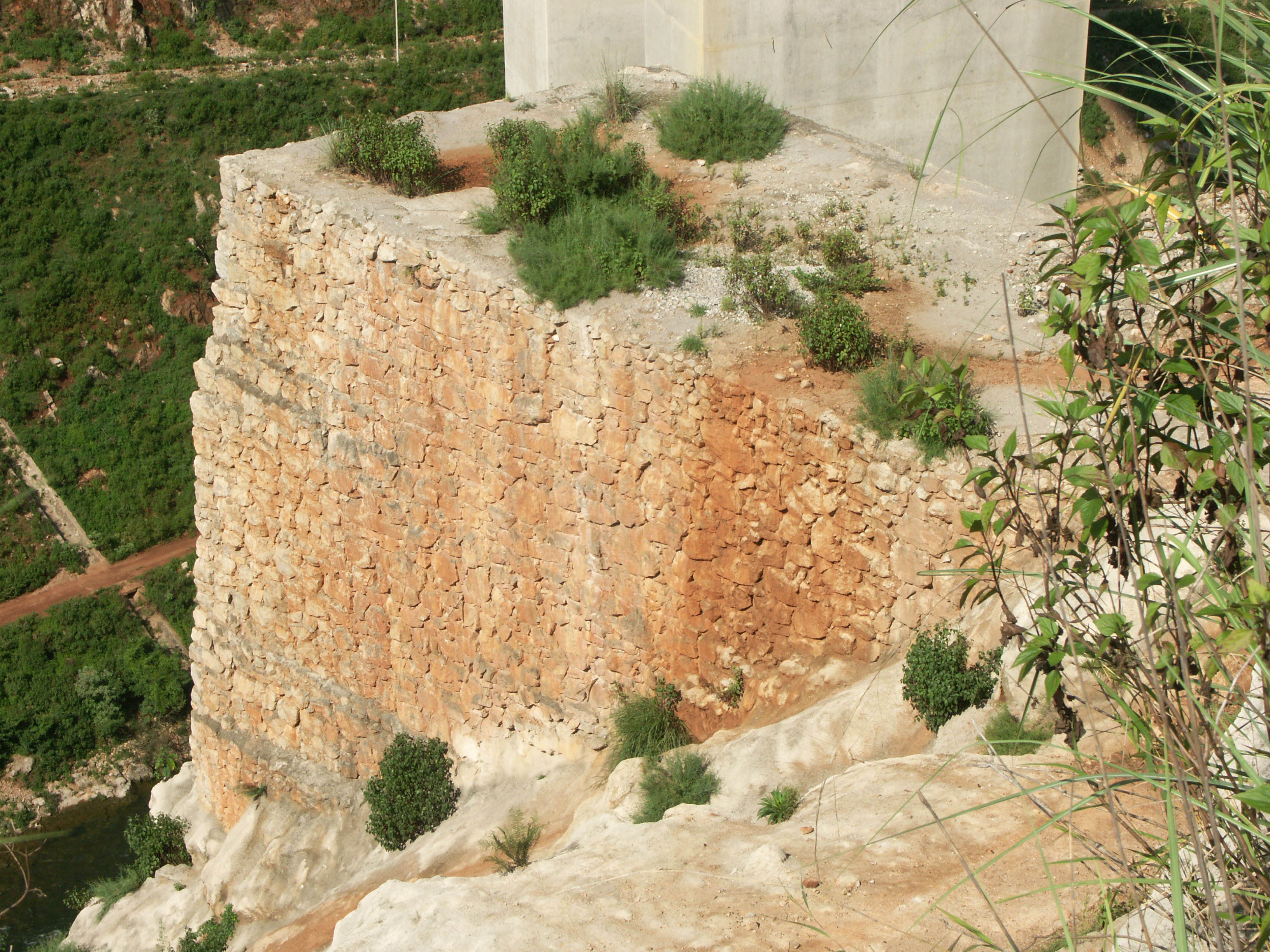
This platform was probably built for a crane to assist men and materials to the base of the pier. Image by Eric Sakowski / HighestBridges.com
Construction view.
Image by Eric Sakowski / HighestBridges.com
Image by Eric Sakowski / HighestBridges.com
Image by Eric Sakowski / HighestBridges.com
Image by Eric Sakowski / HighestBridges.com
Image by Eric Sakowski / HighestBridges.com
Chaishitan Dam. Image by Eric Sakowski / HighestBridges.com
Image by Eric Sakowski / HighestBridges.com
Image by Eric Sakowski / HighestBridges.com
Image by Eric Sakowski / HighestBridges.com
Image by Eric Sakowski / HighestBridges.com
Image by Eric Sakowski / HighestBridges.com
Image by Eric Sakowski / HighestBridges.com
Image by Eric Sakowski / HighestBridges.com
Image by Eric Sakowski / HighestBridges.com
Image by Eric Sakowski / HighestBridges.com
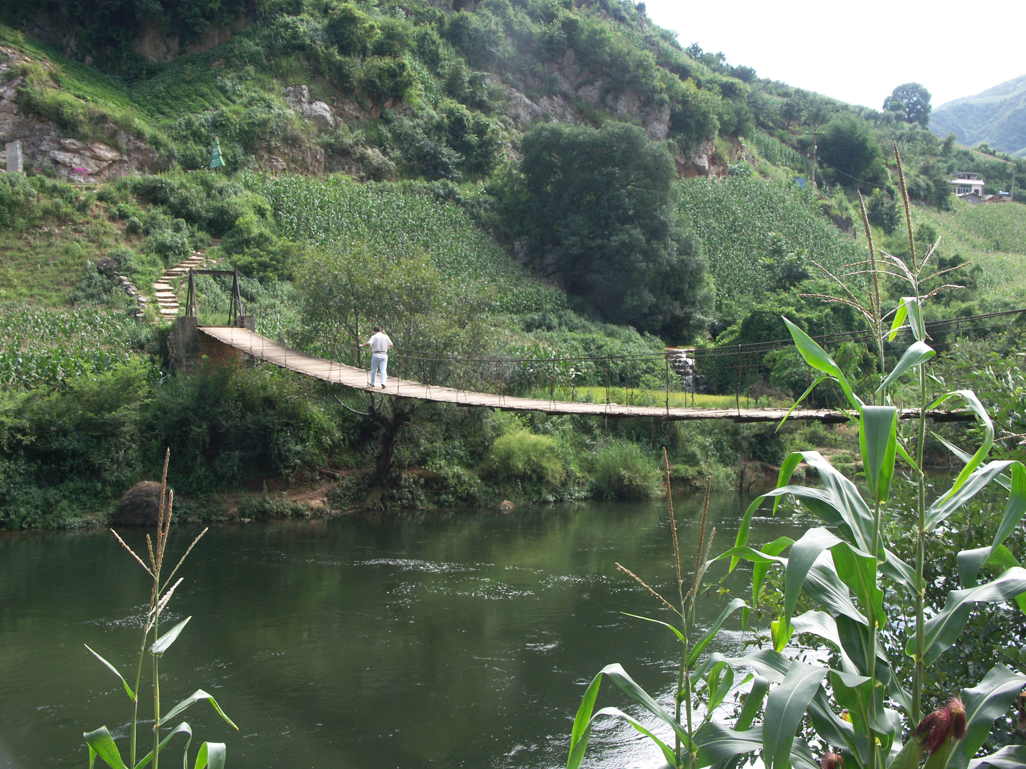
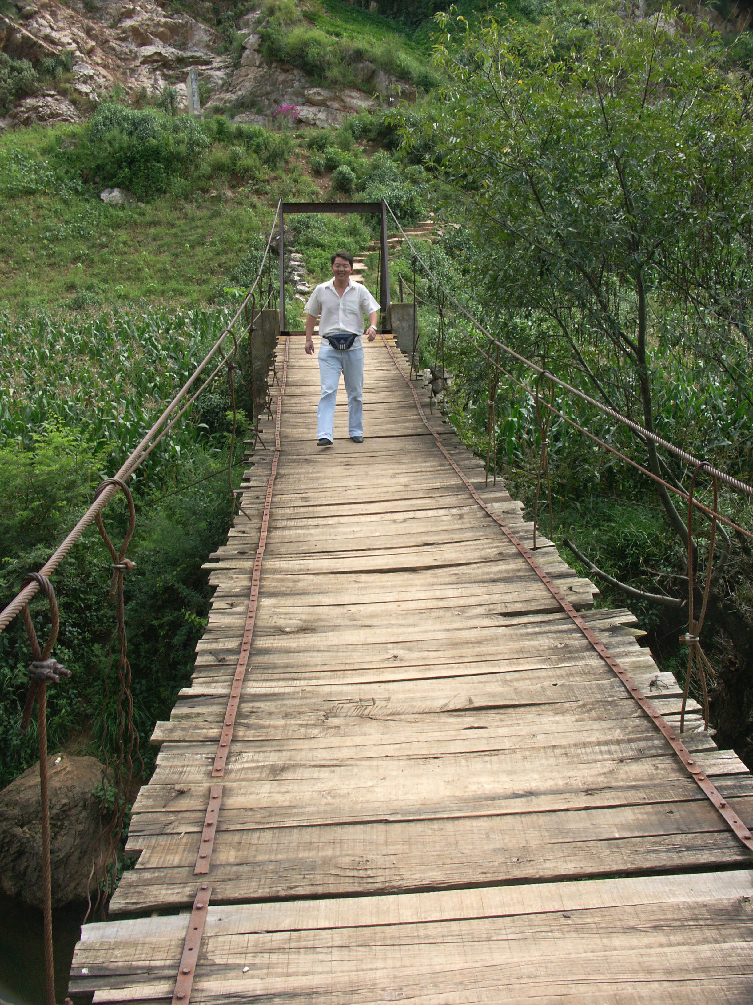
Motorists stop for a look. A suspension footbridge crosses the Nan Pan River far below. Image by Eric Sakowski / HighestBridges.com
Image by Eric Sakowski / HighestBridges.com
Image by Eric Sakowski / HighestBridges.com
Image by Eric Sakowski / HighestBridges.com
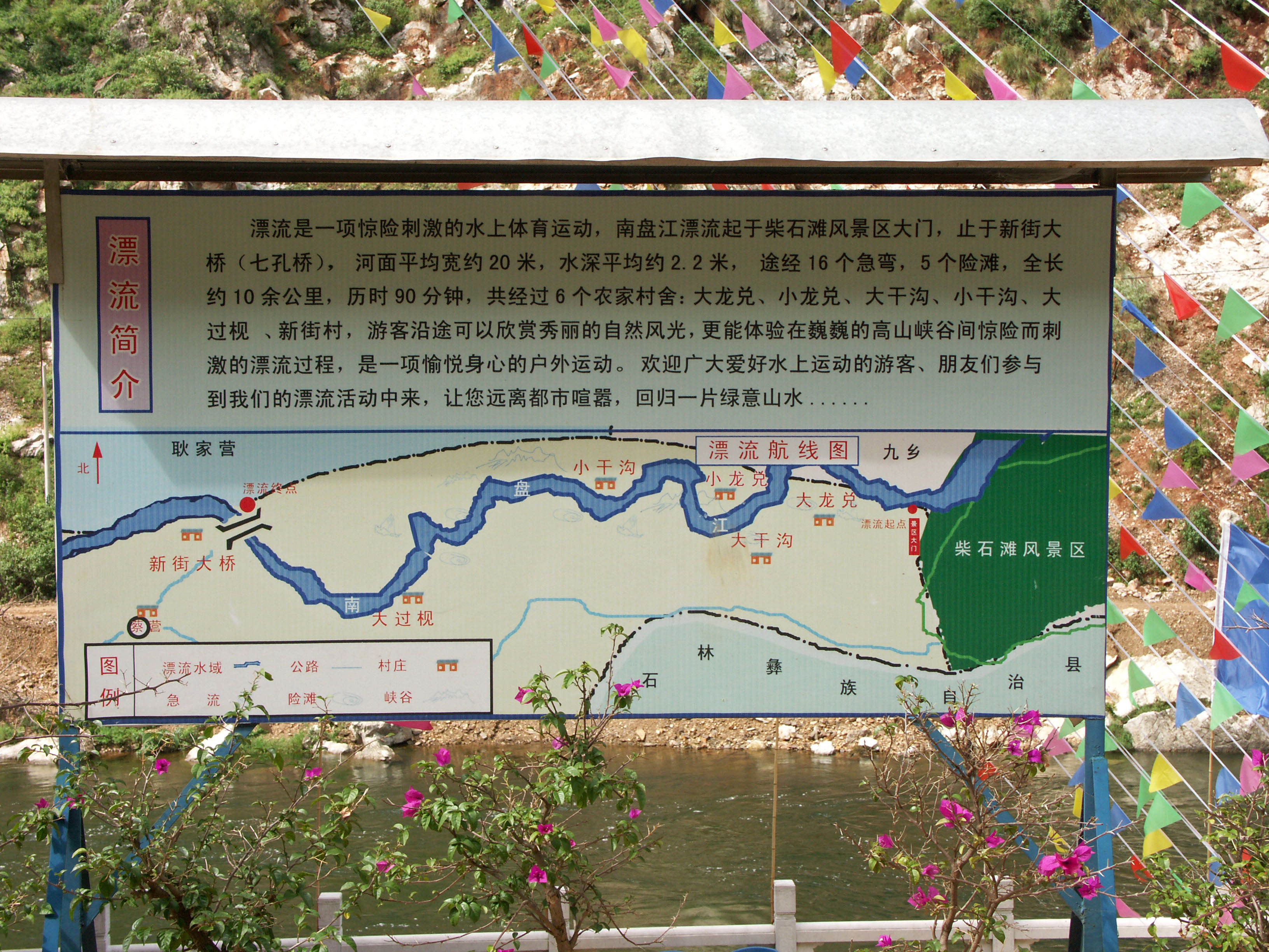
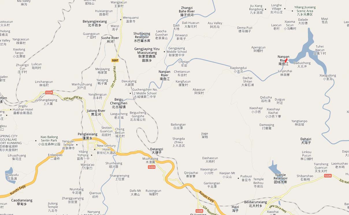
A map of the local Nan Pan River area. Image by Eric Sakowski / HighestBridges.com
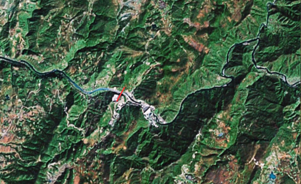
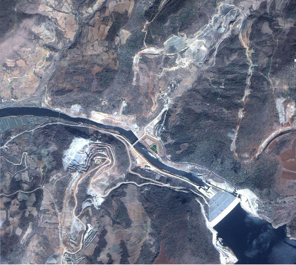
Nanpanjiang Bridge Yiliang satellite image taken before the reservoir formed behind the Chaishitan dam.
A satellite image during the early construction phase of the Nanpanjiang Bridge.
Nanpanjiang Bridge Yiliang location map. The crossing is shown in red in the upper right.
