Siduhe Bridge
Siduhe Bridge
四渡河特大桥
Yesanguanzhen, Hubei, China
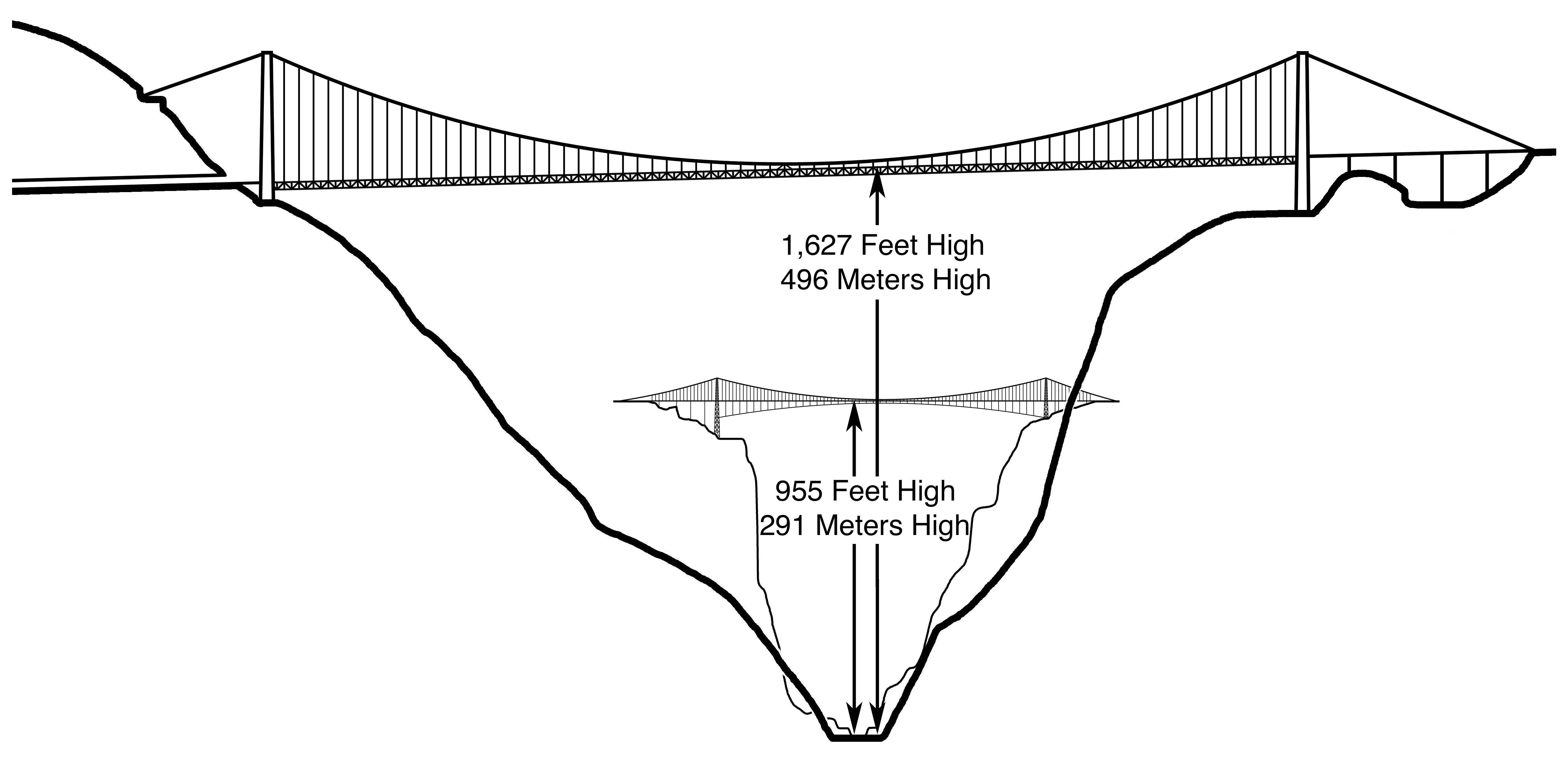
1,627 feet high / 496 meters high
2,952 foot span / 900 meter span
2009
World's Highest Bridge 2009-2016
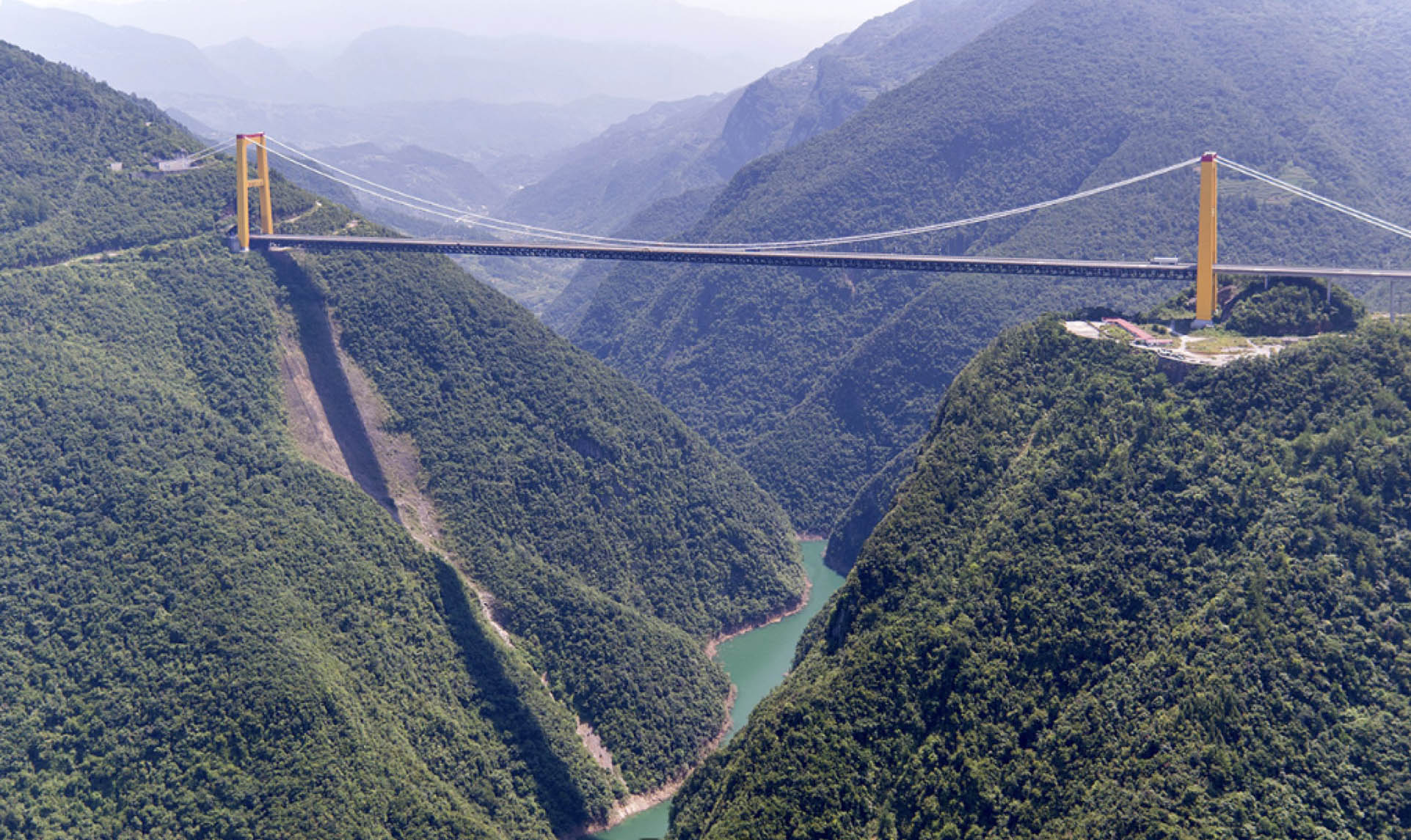
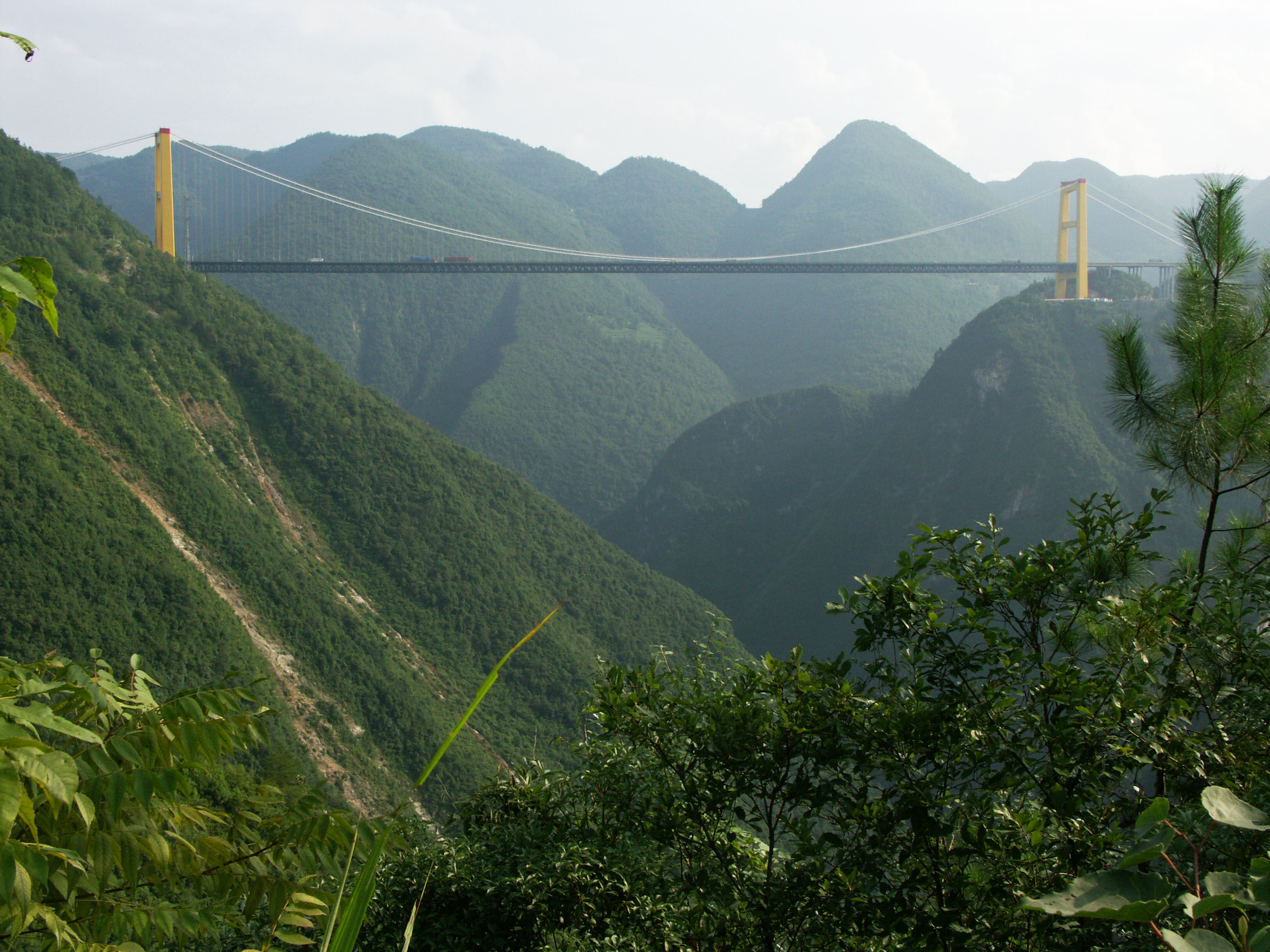
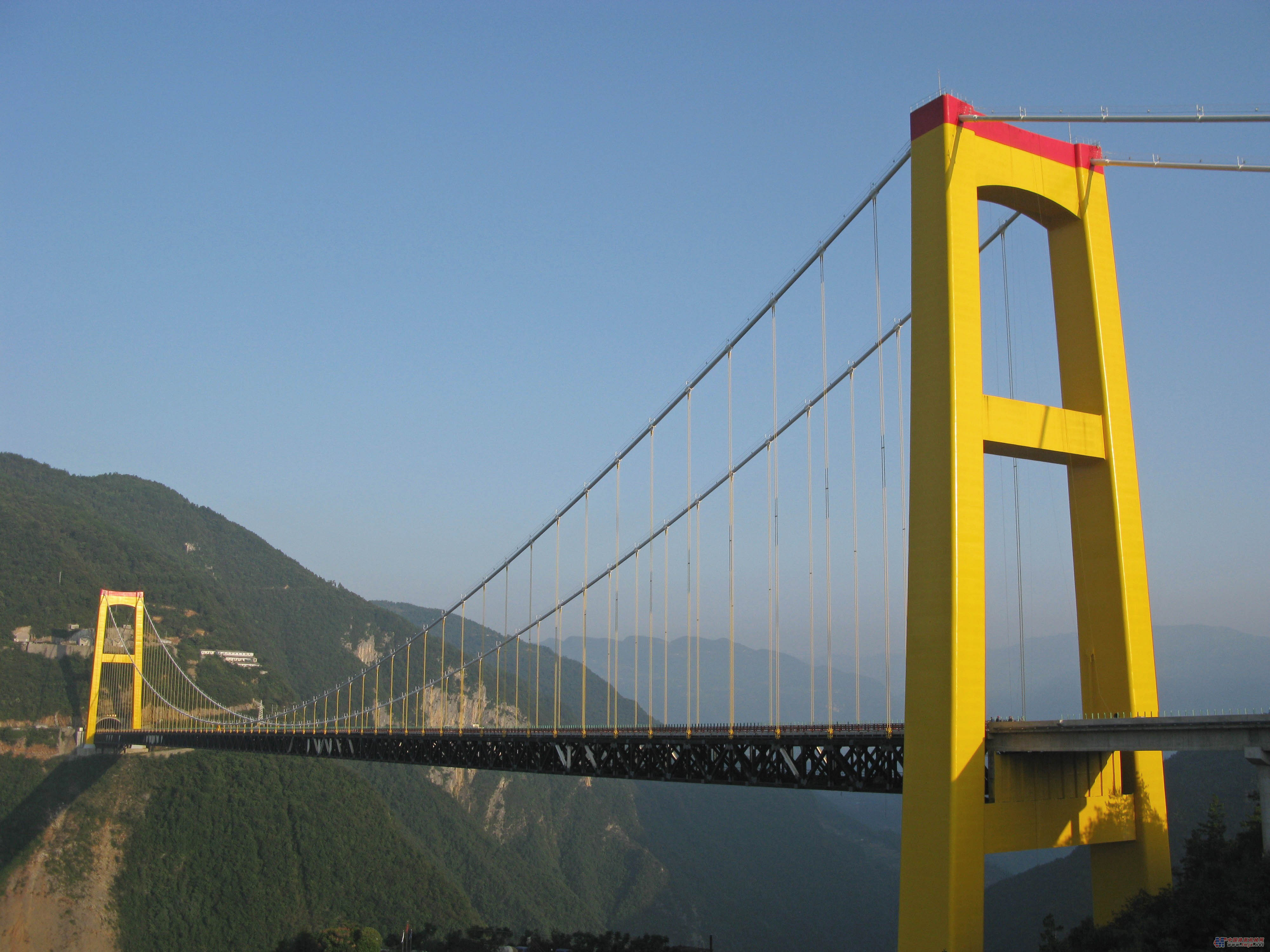
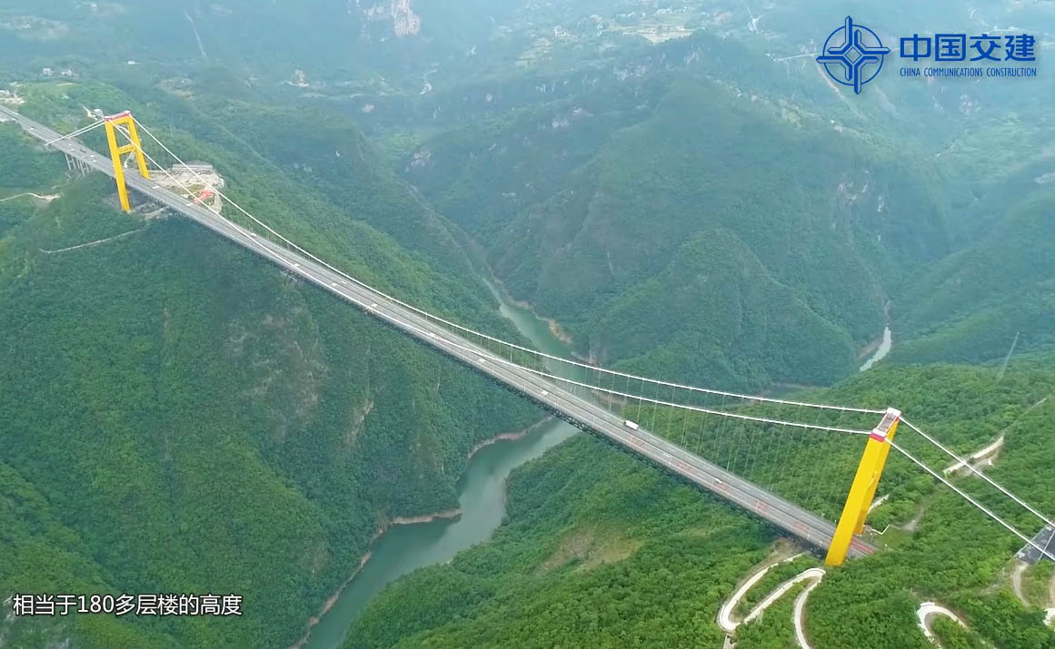
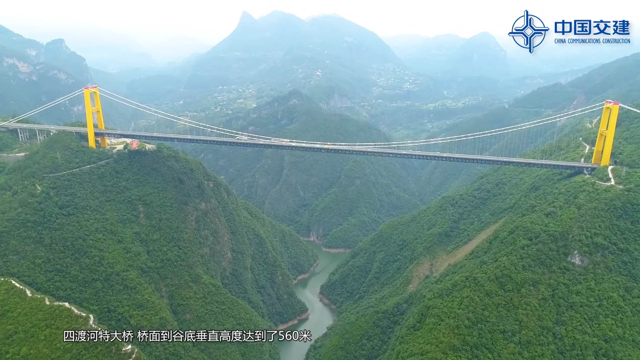
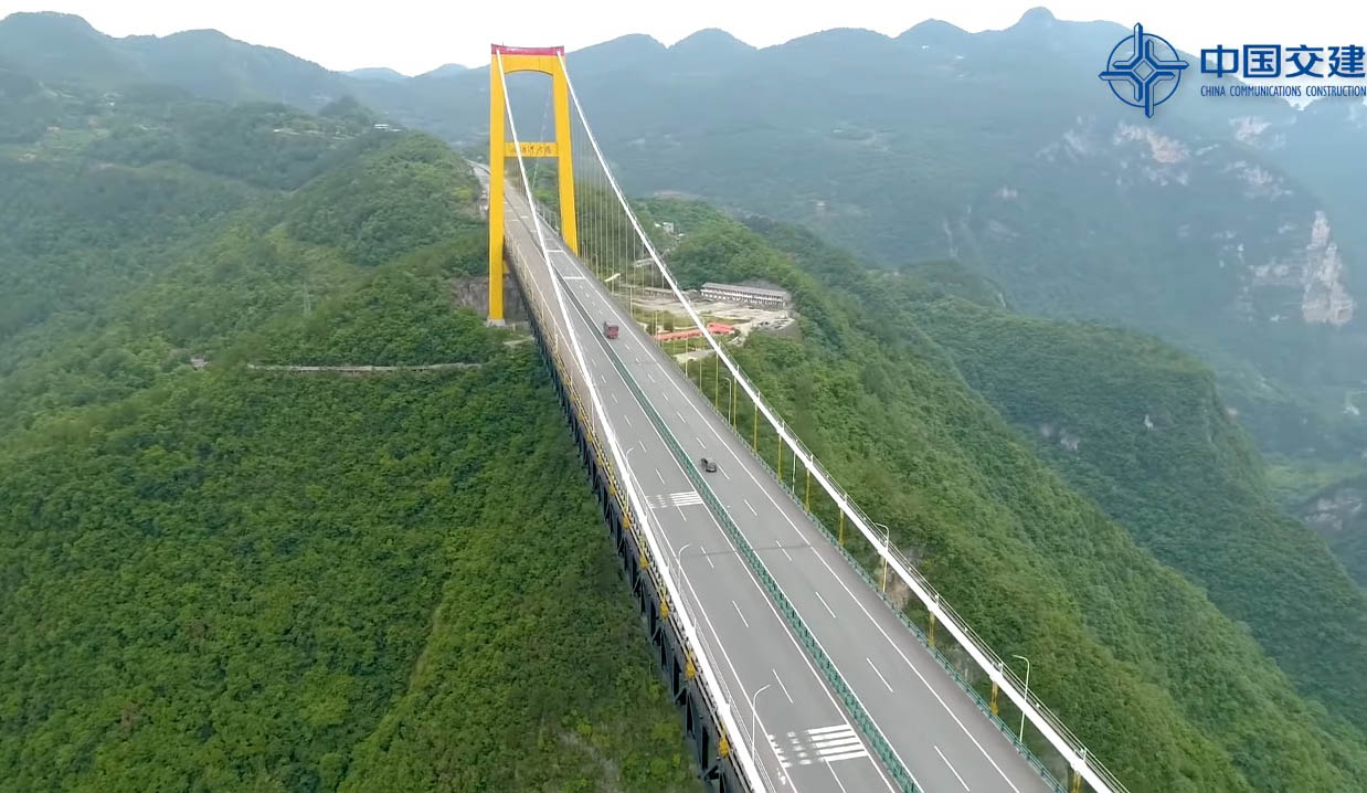
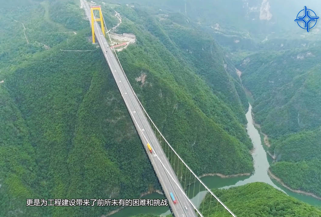
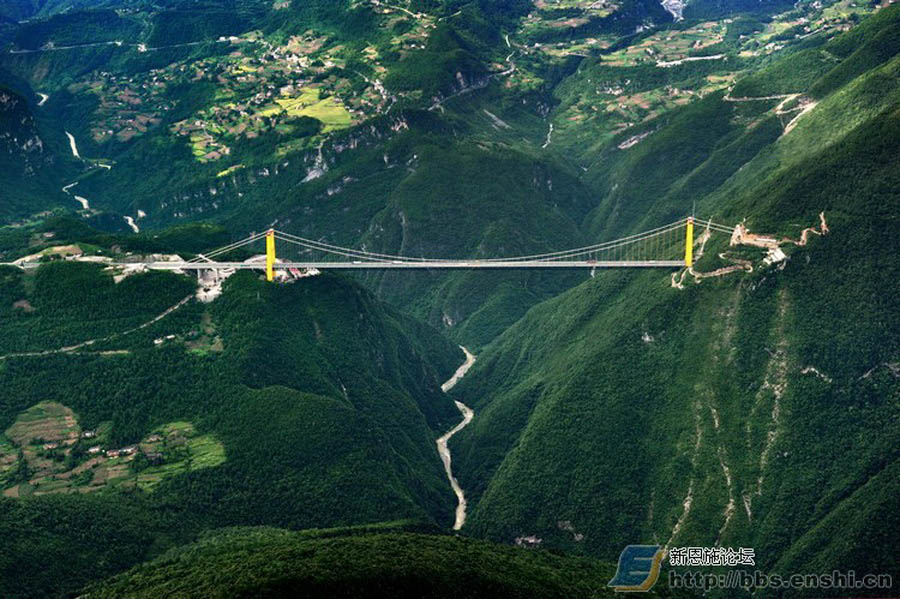
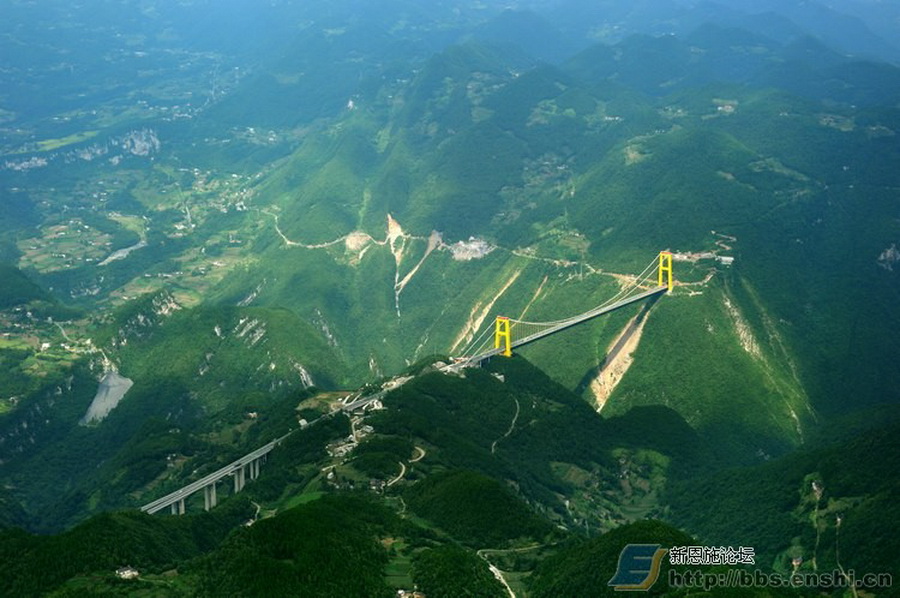
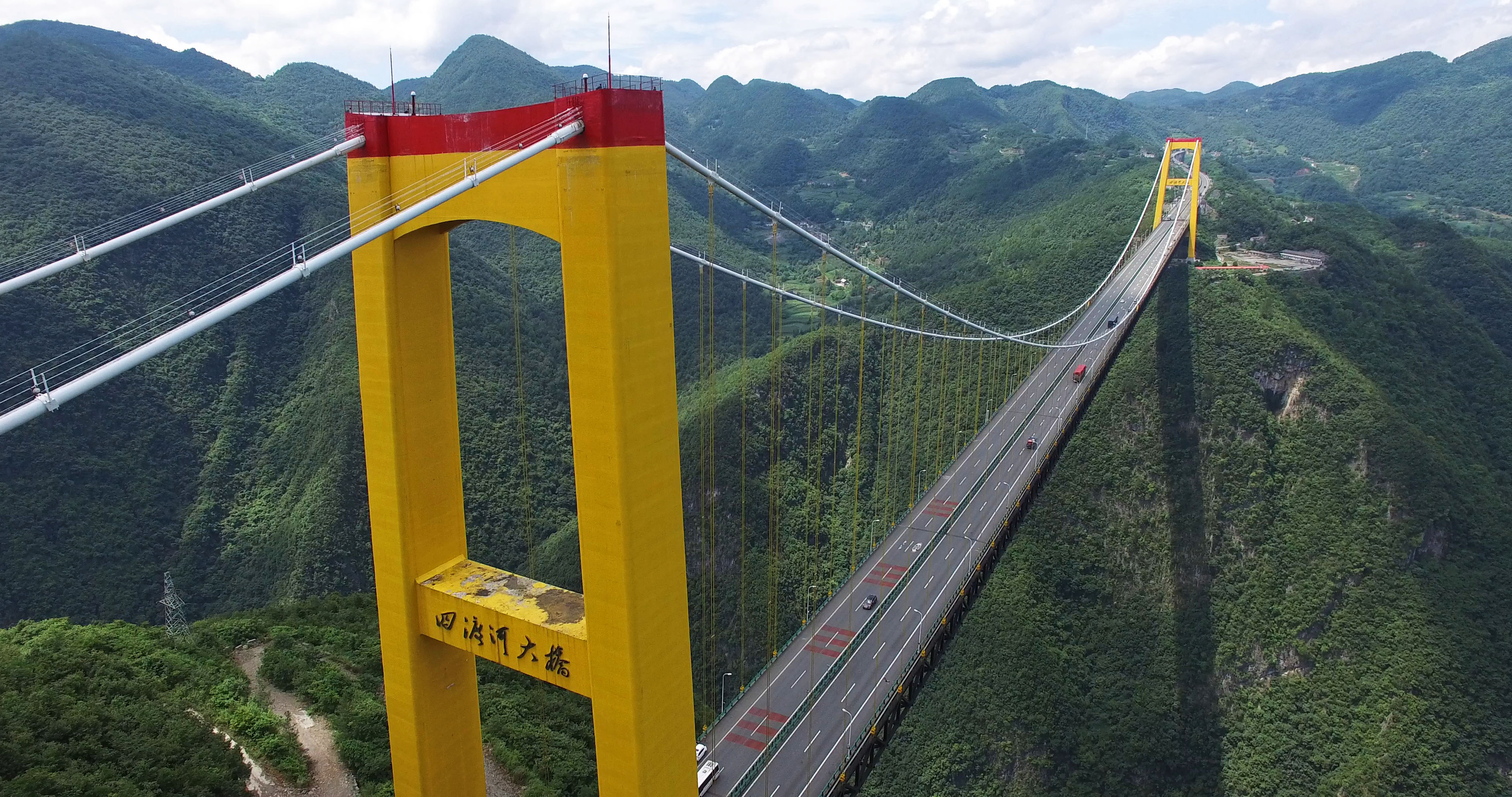
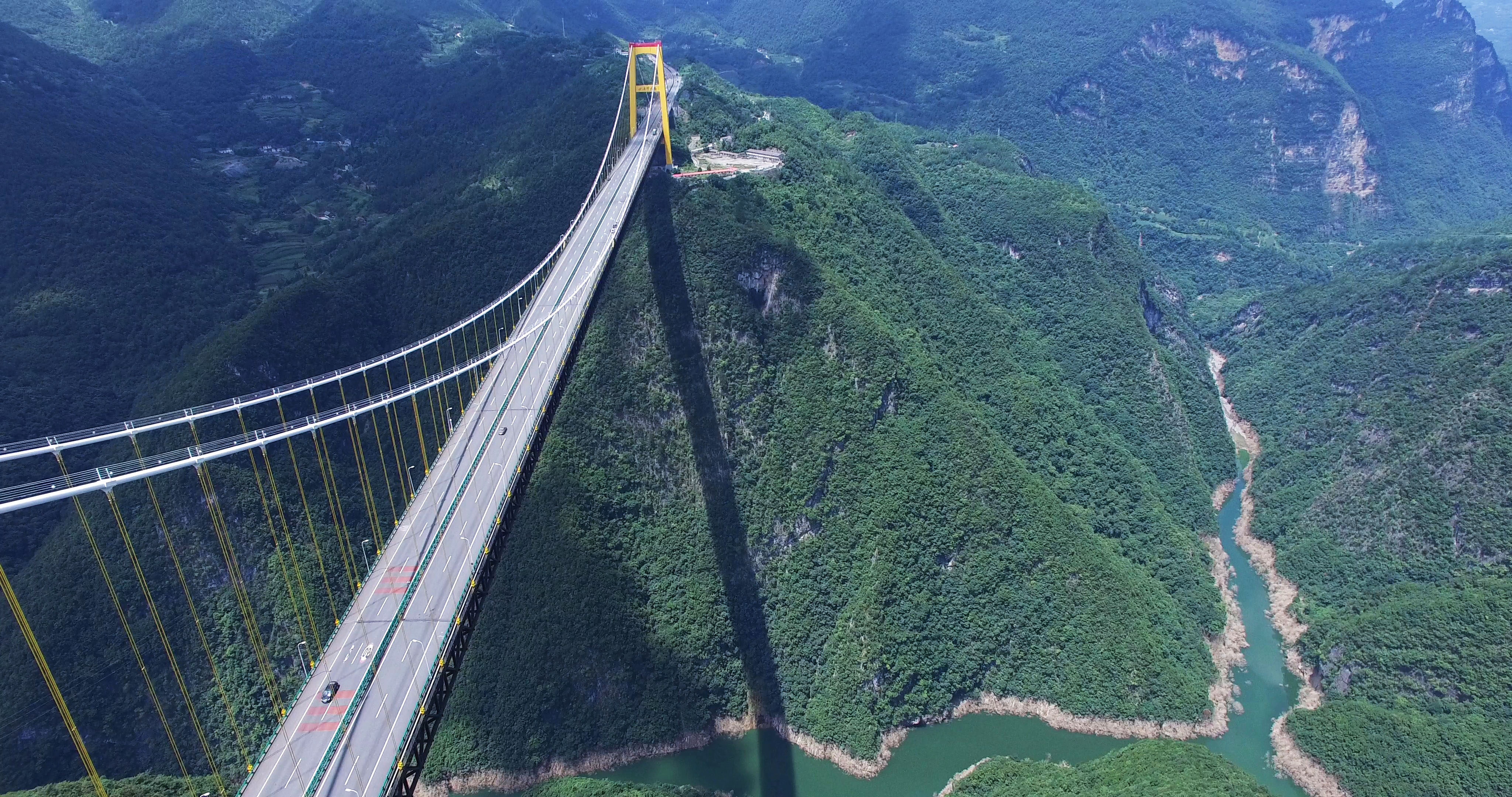
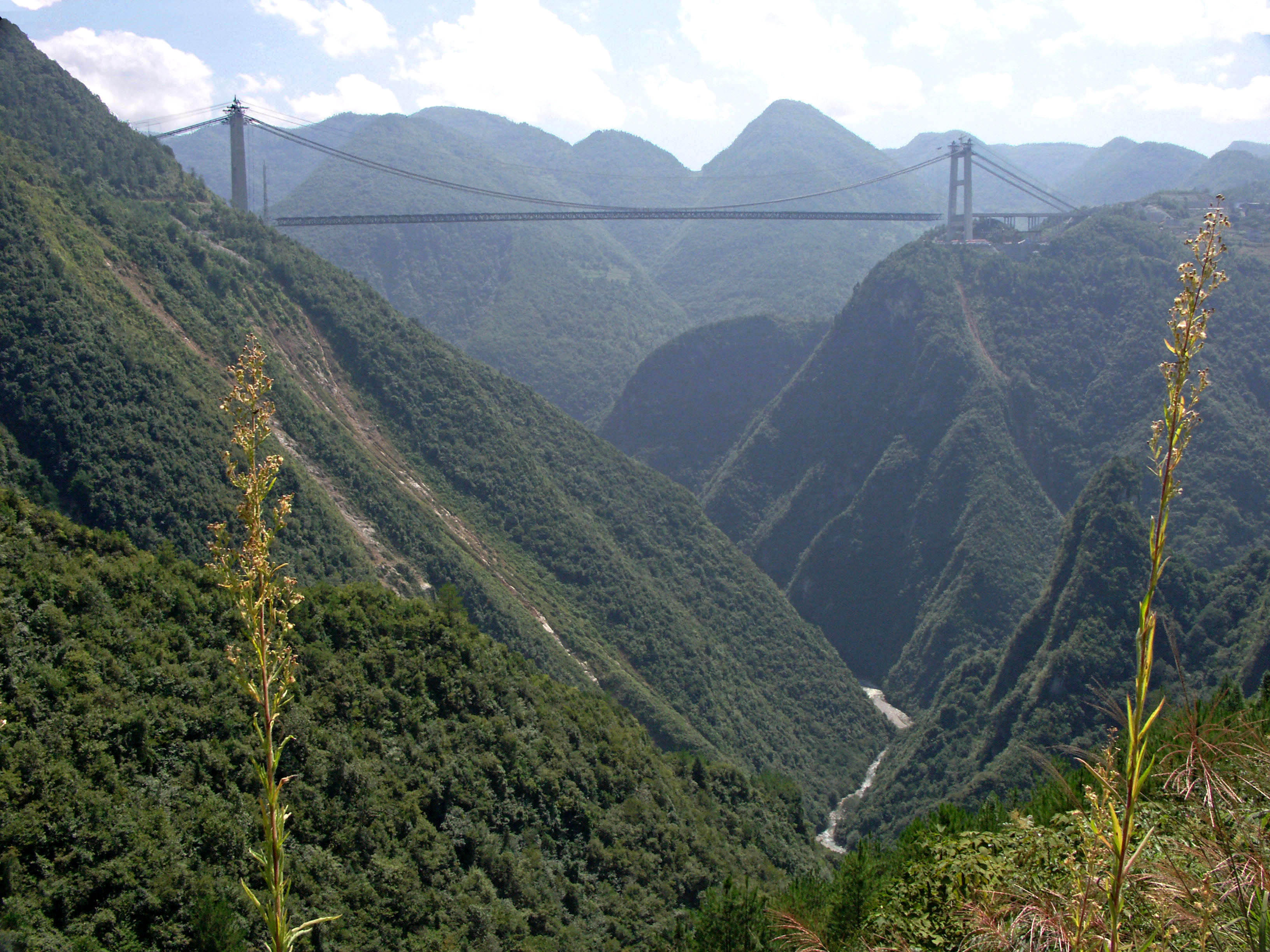
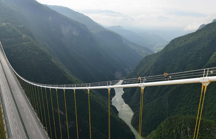
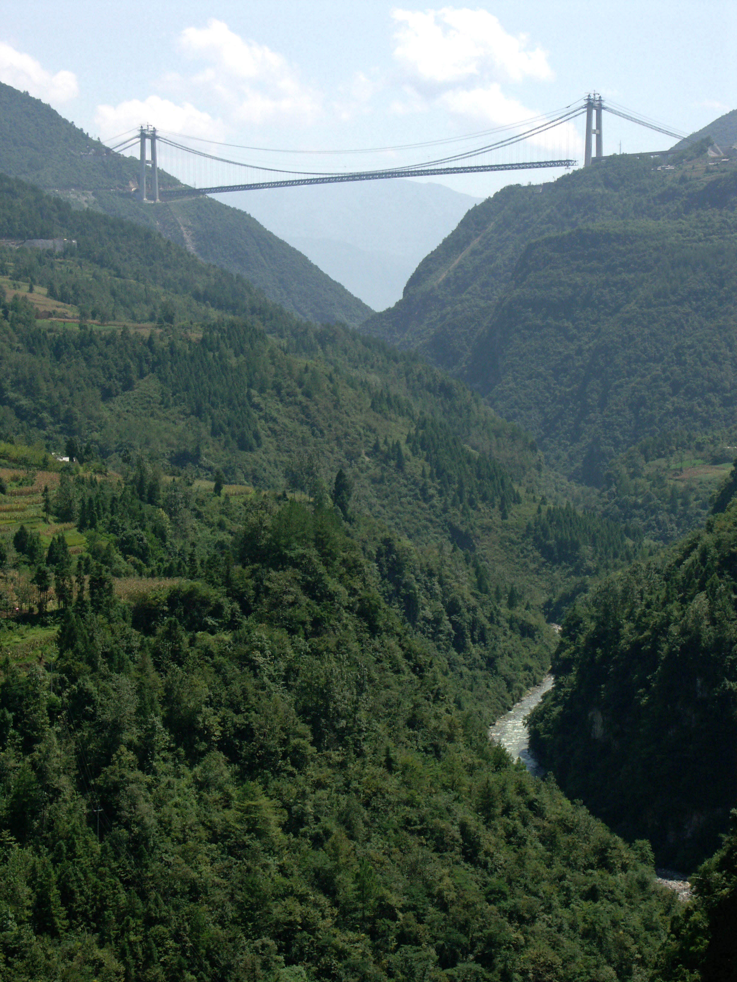
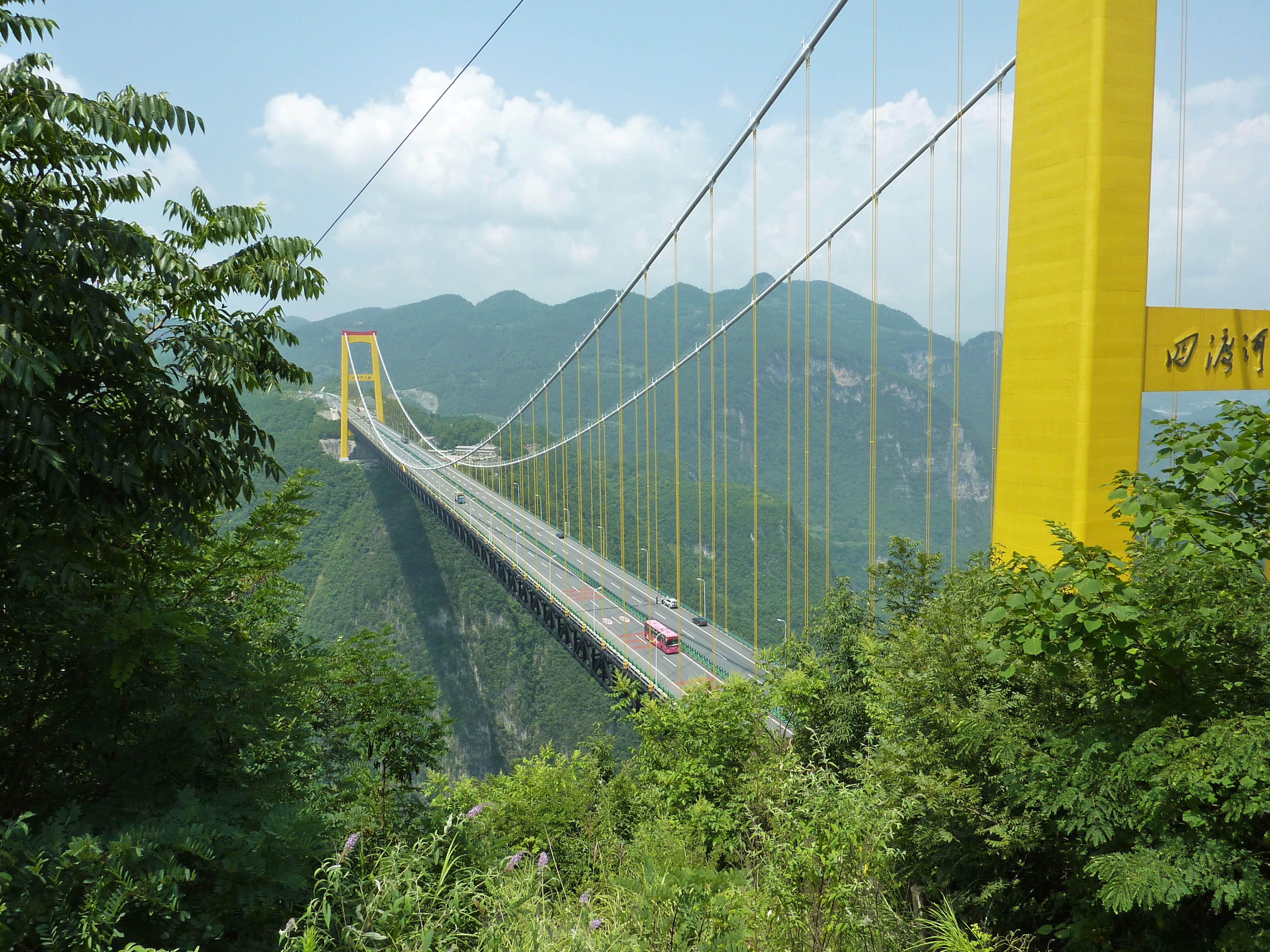
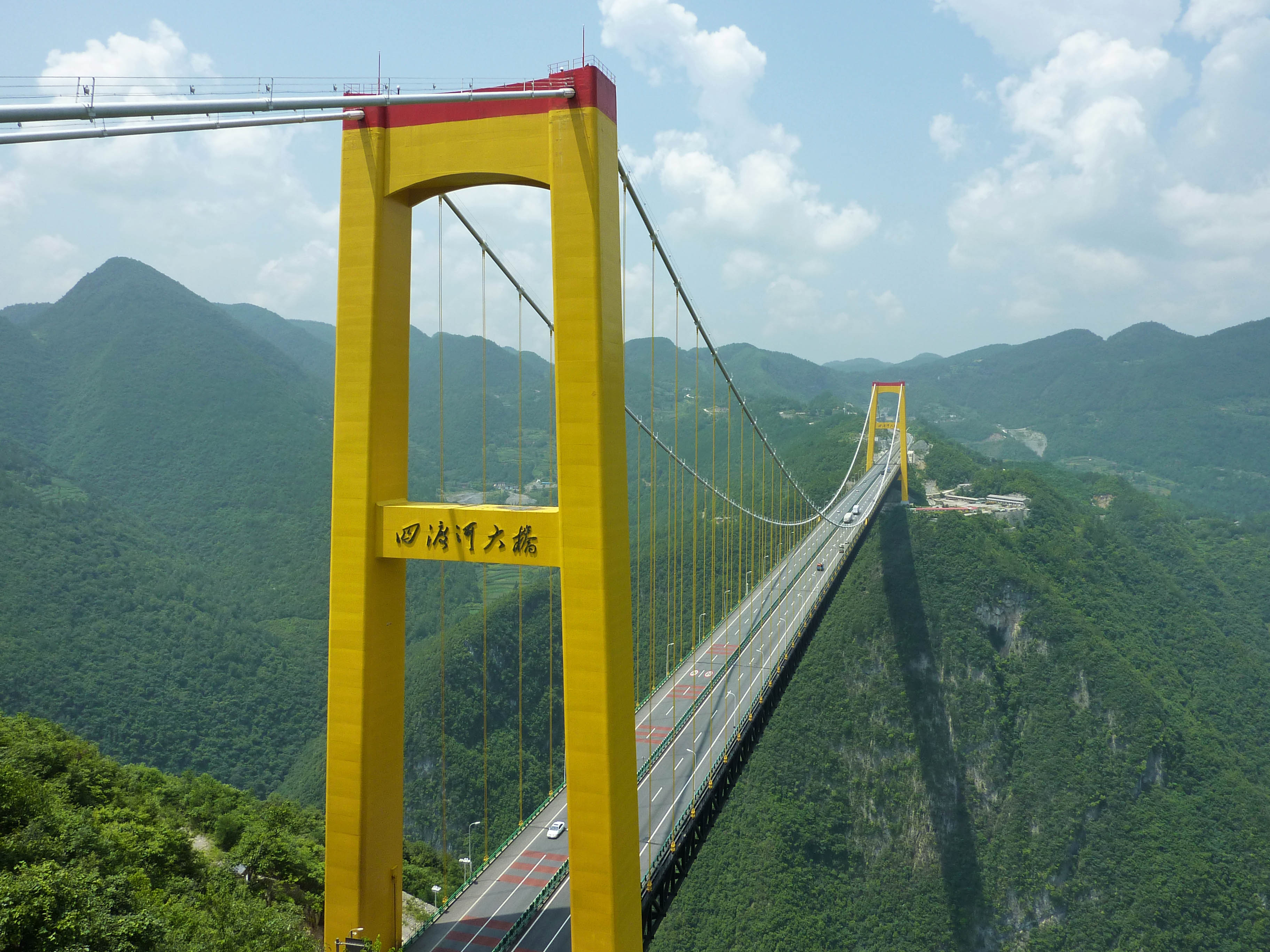
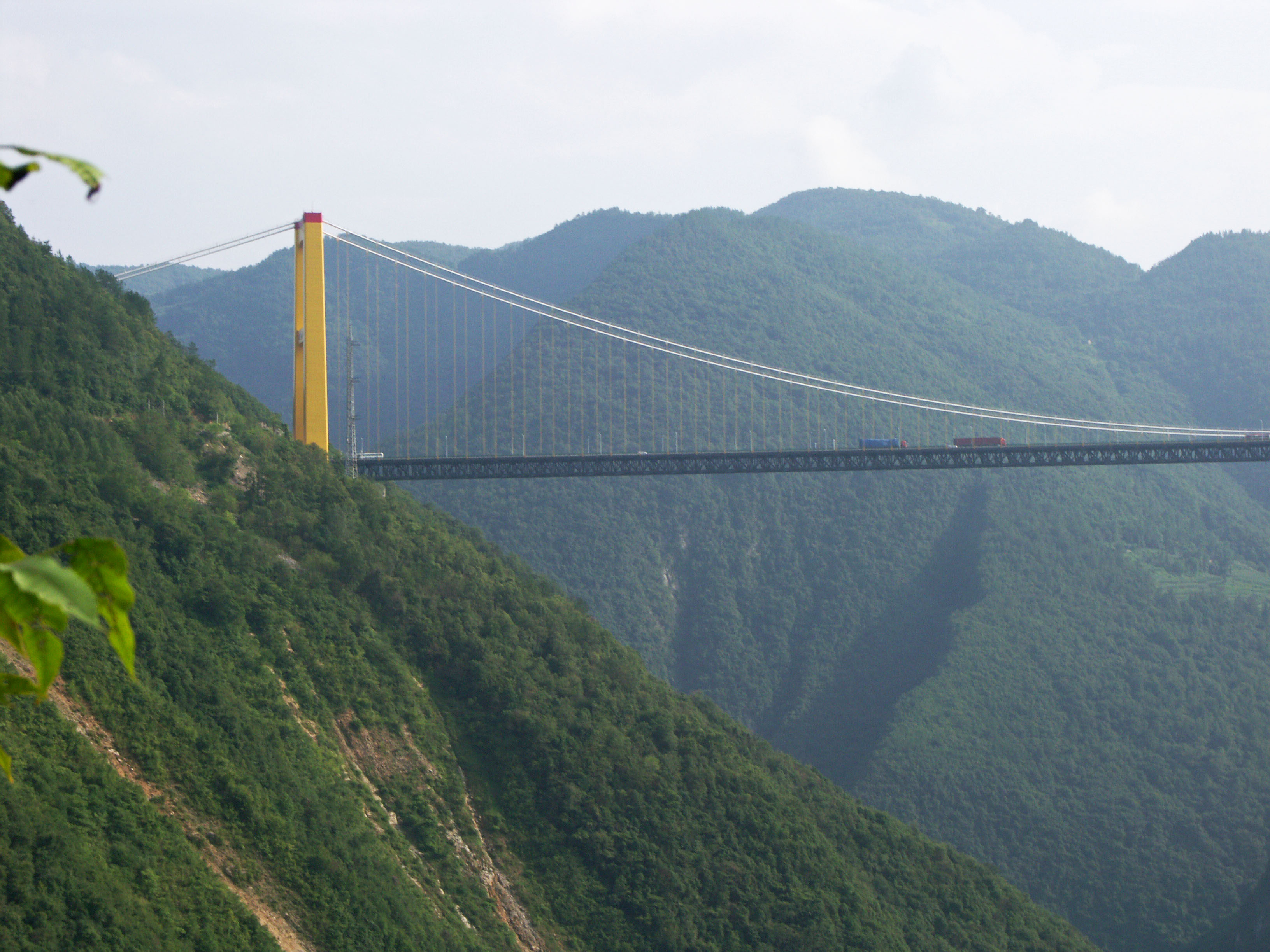
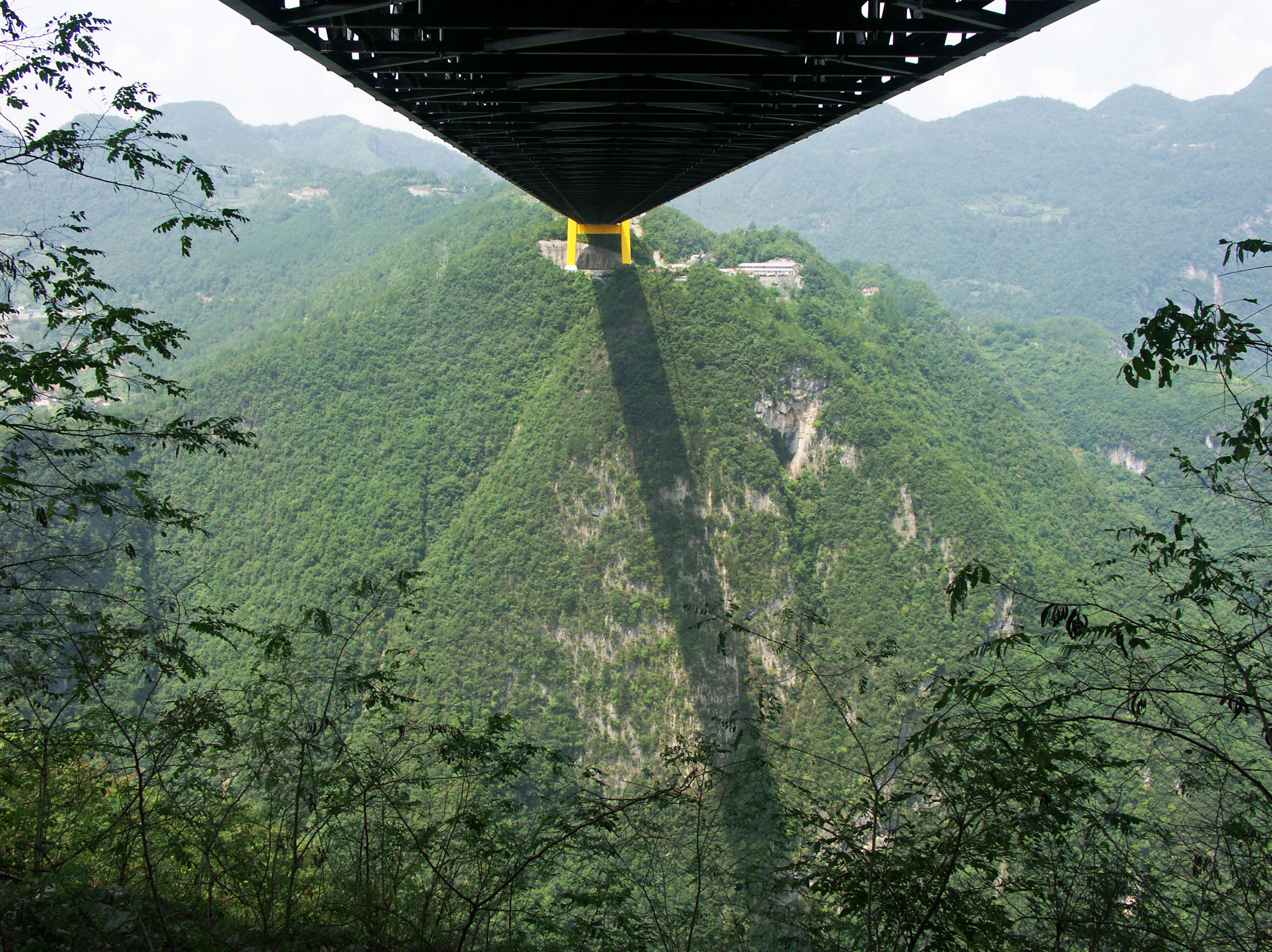
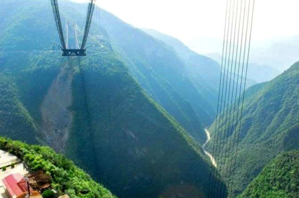
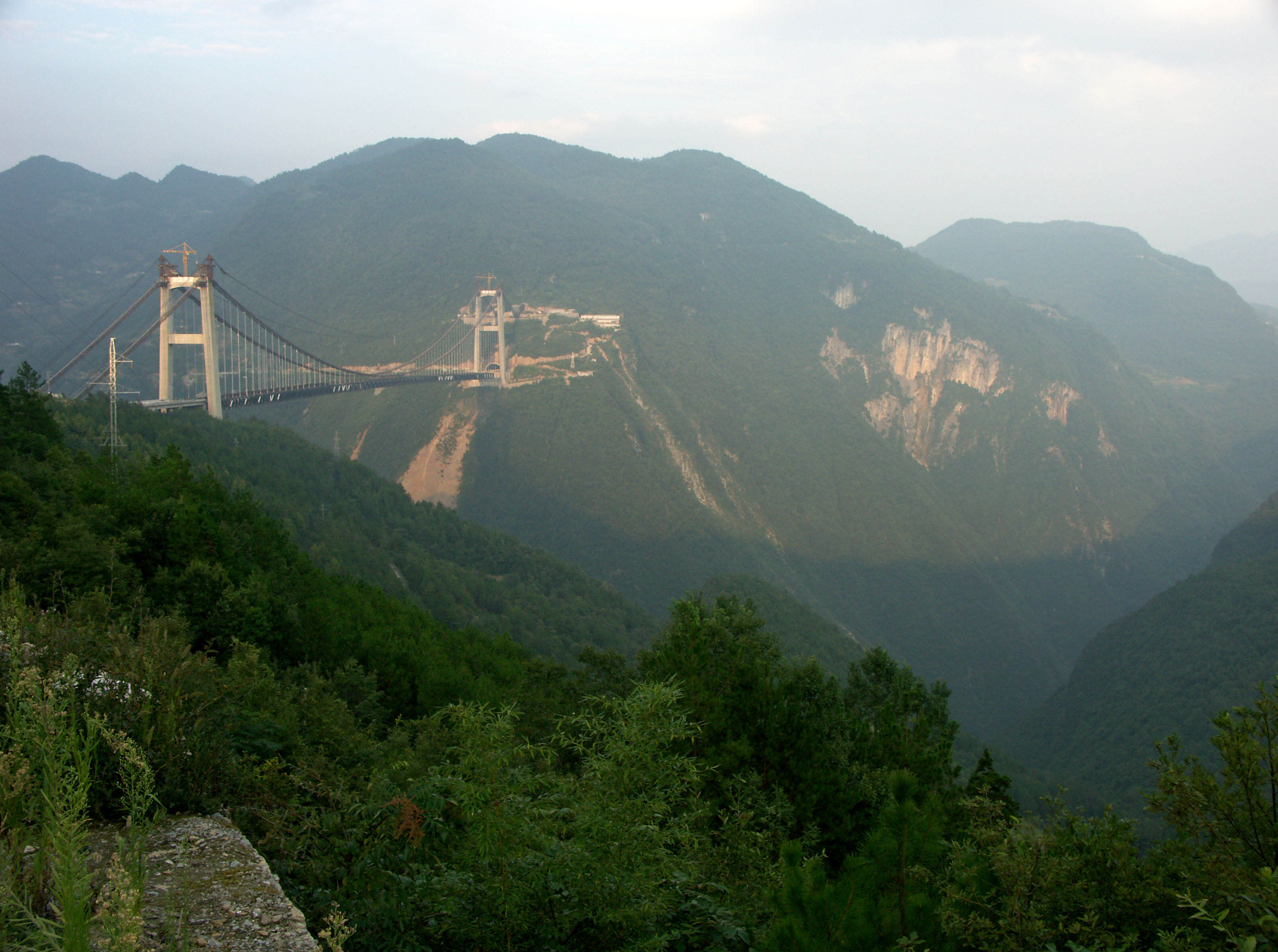
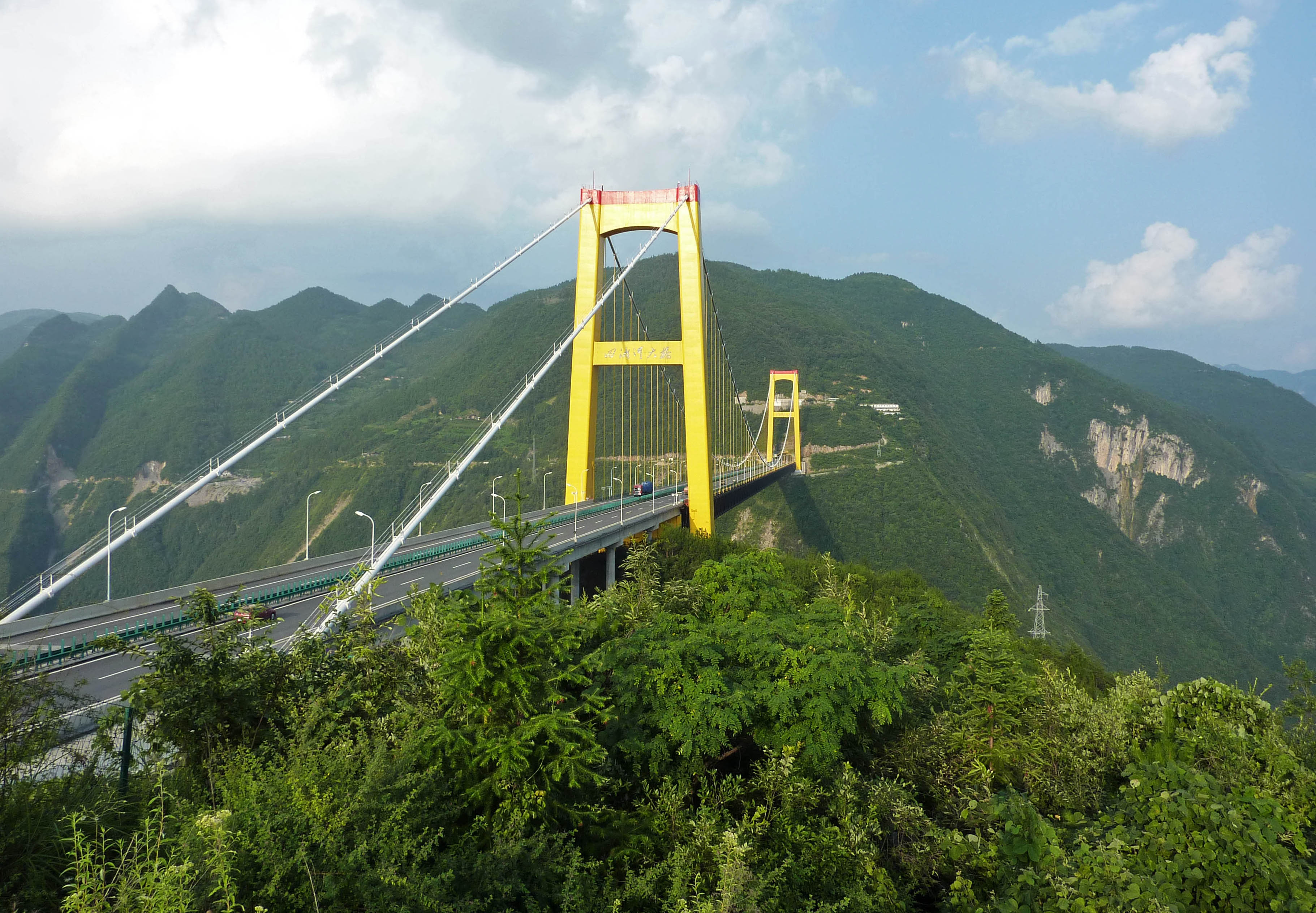
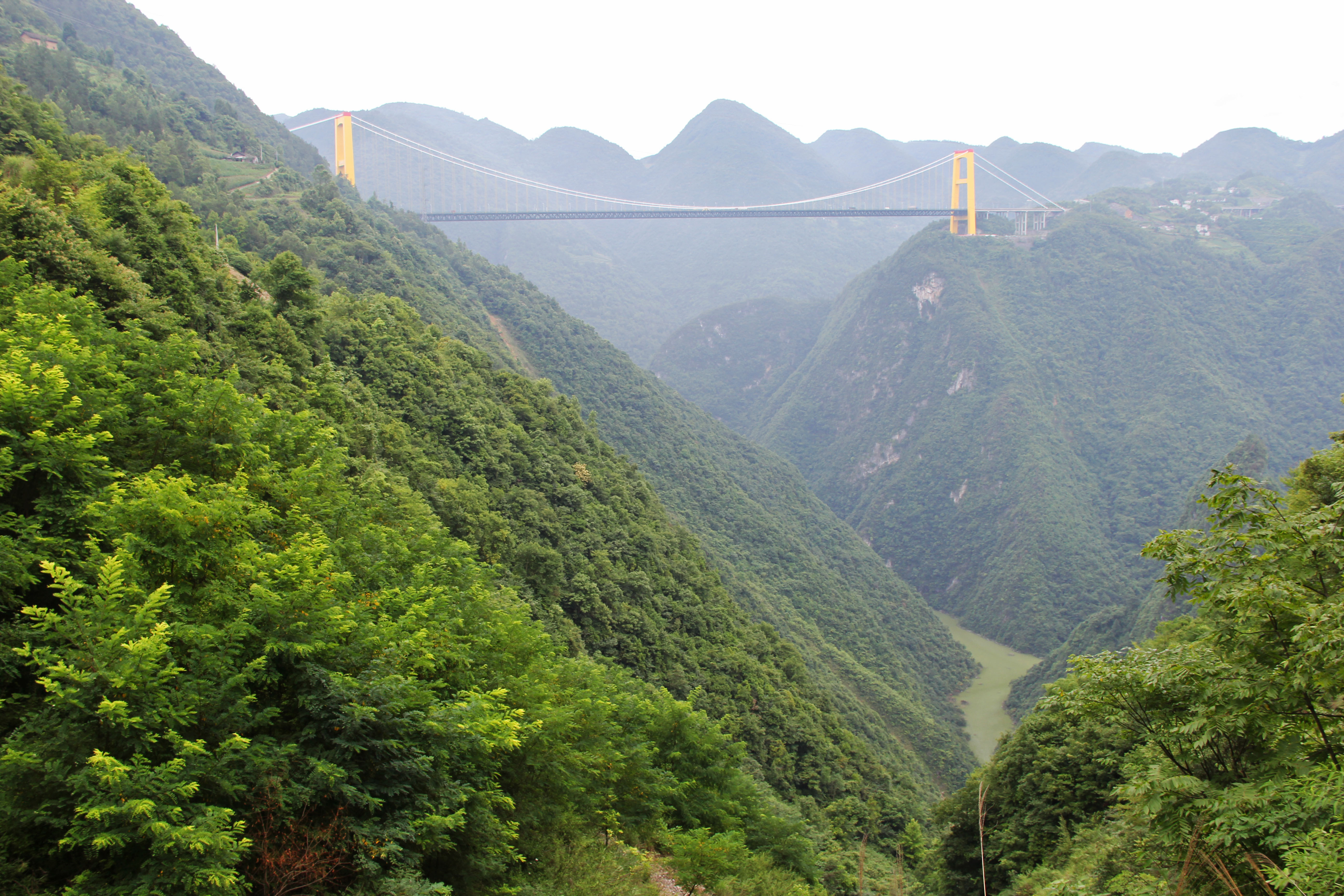
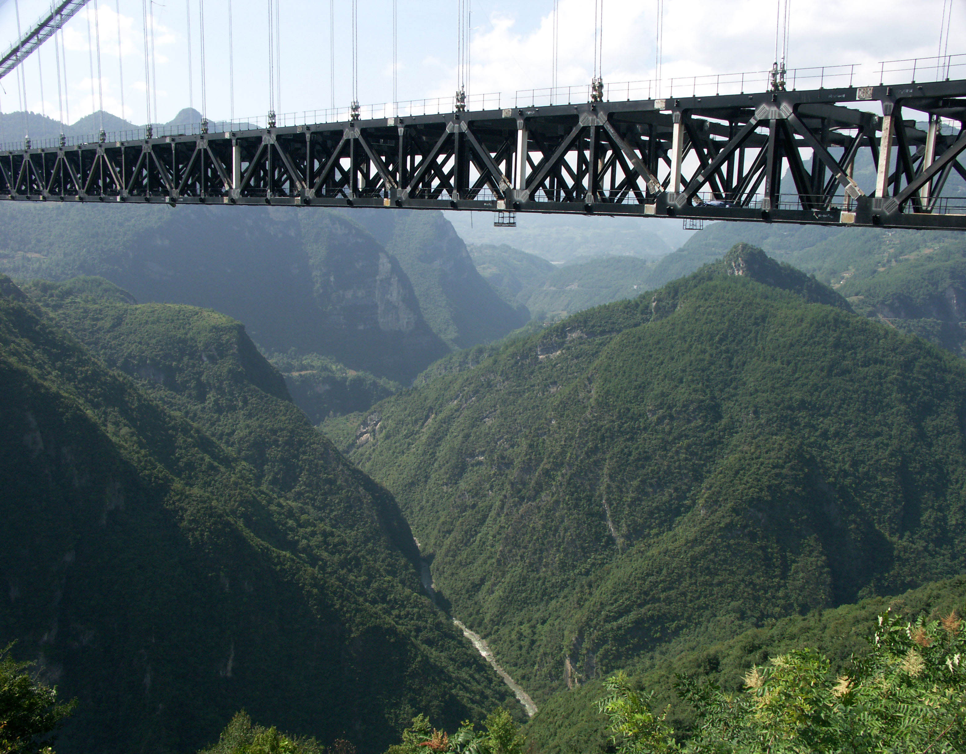
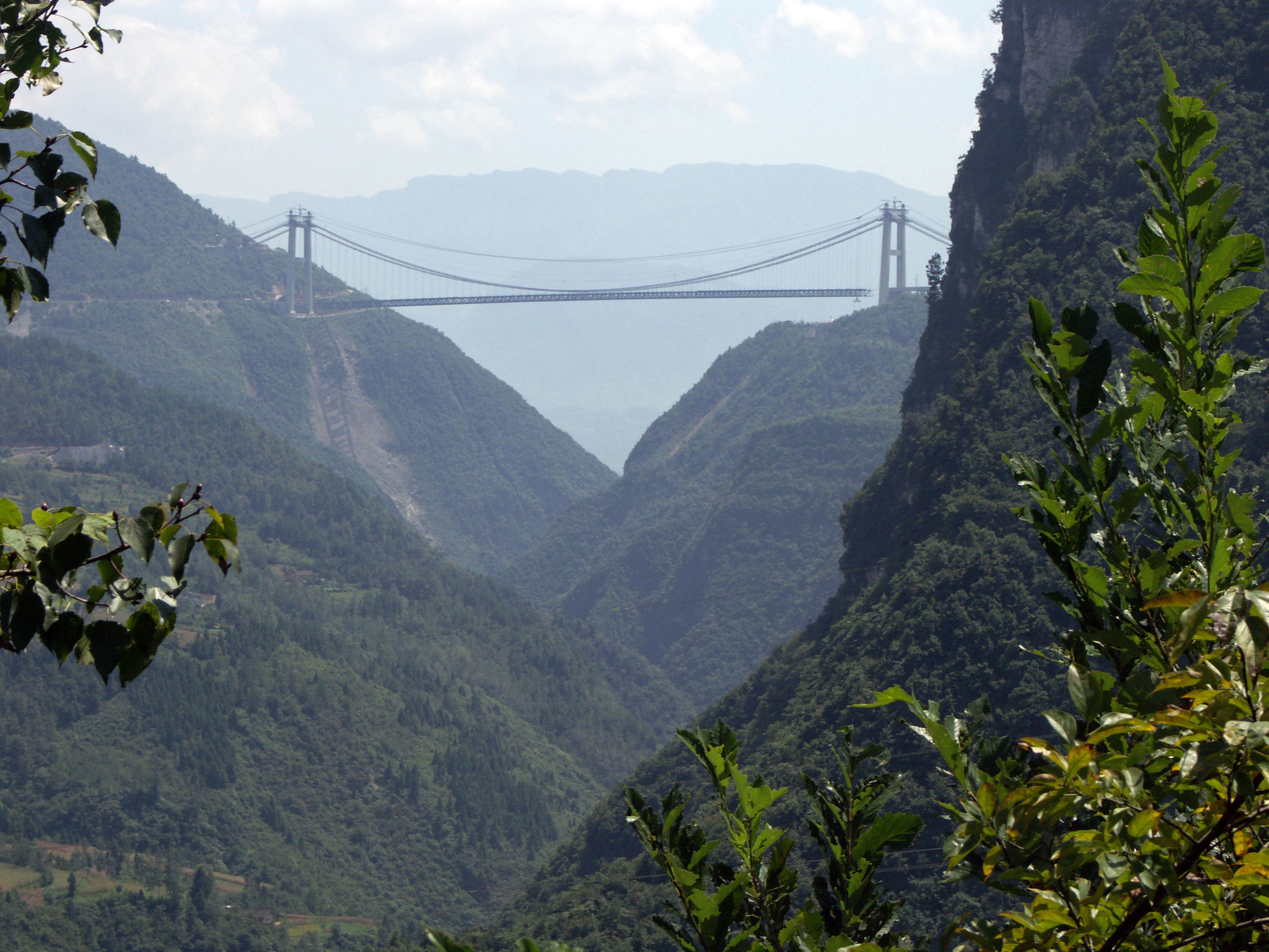
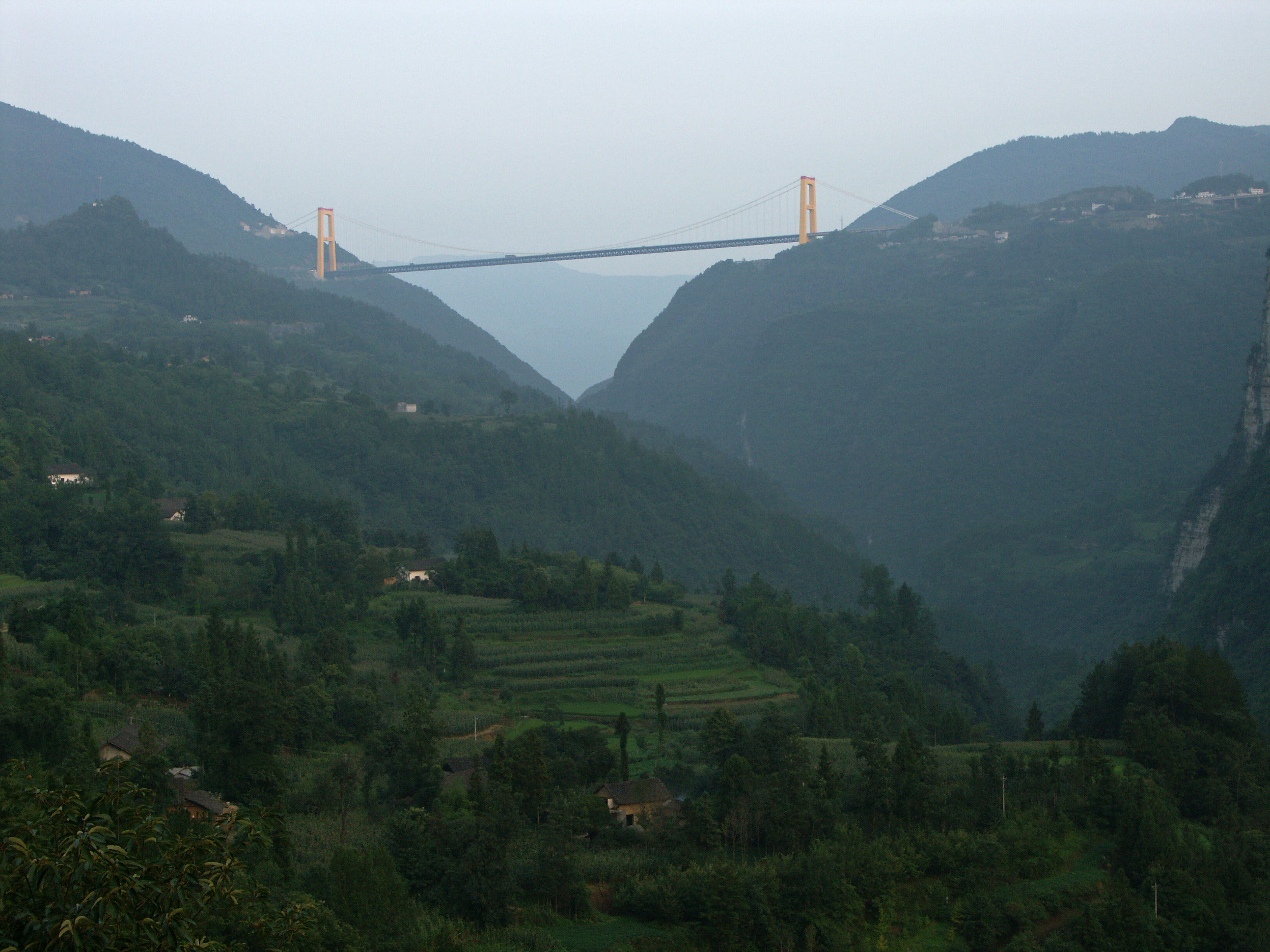
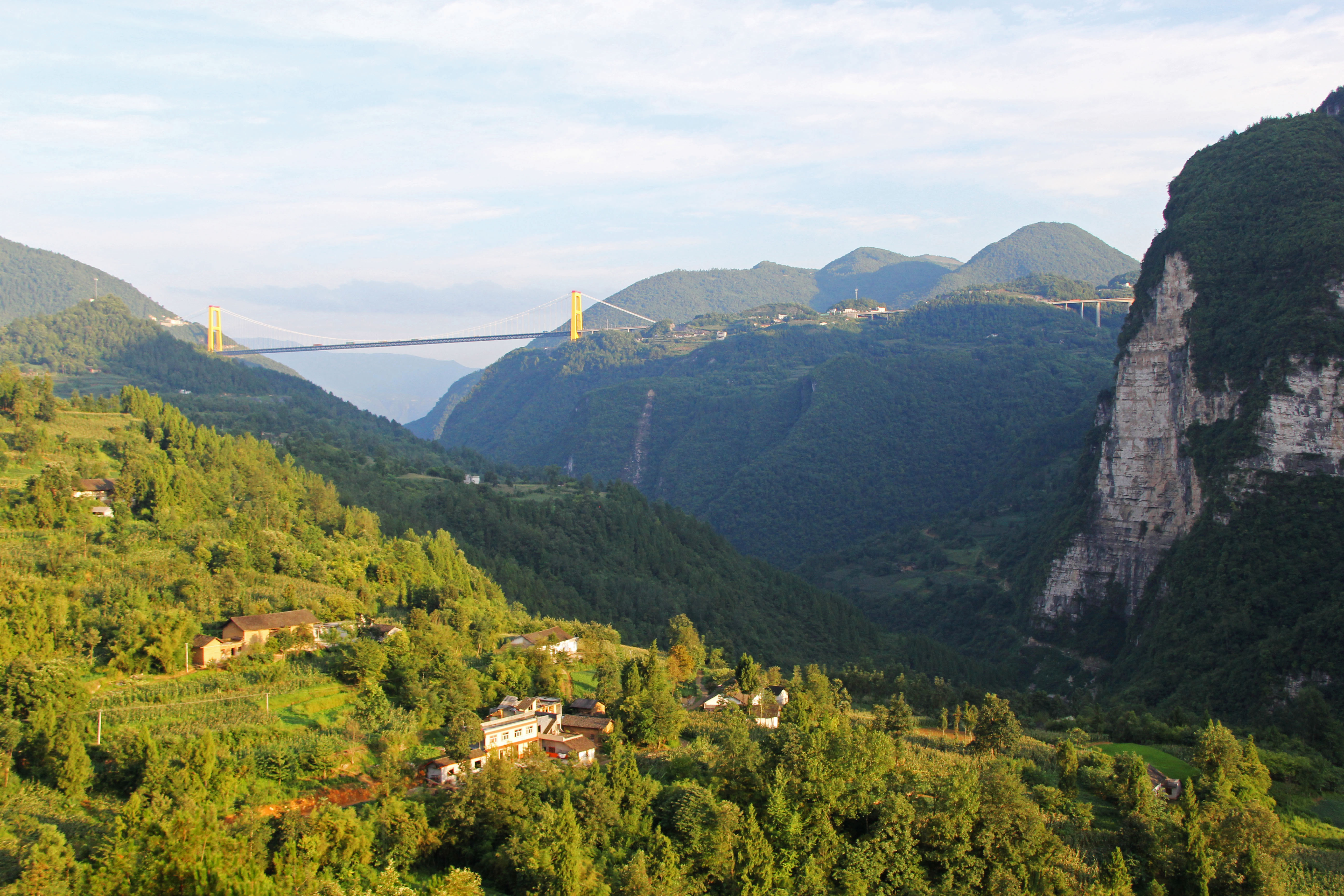
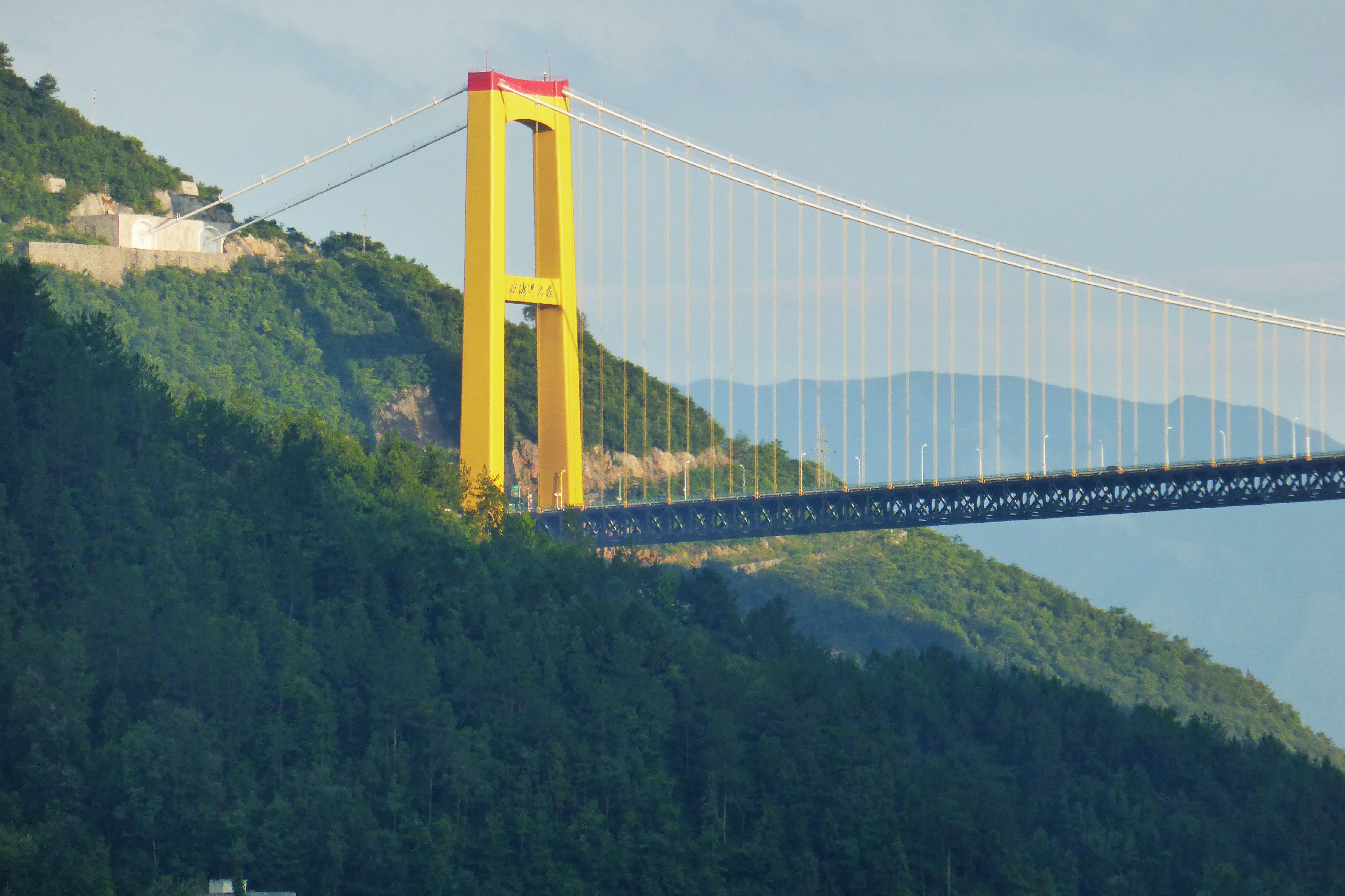
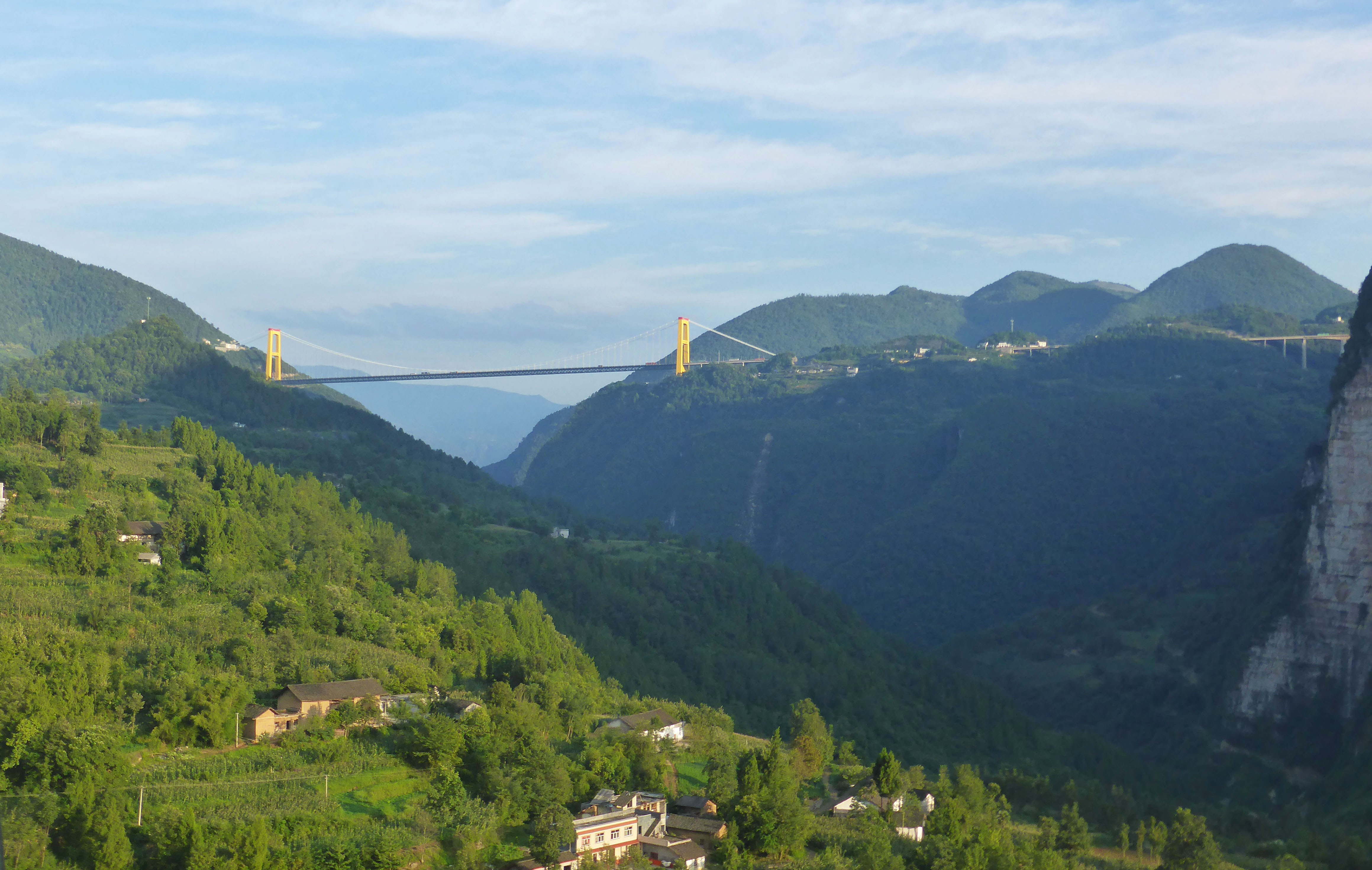
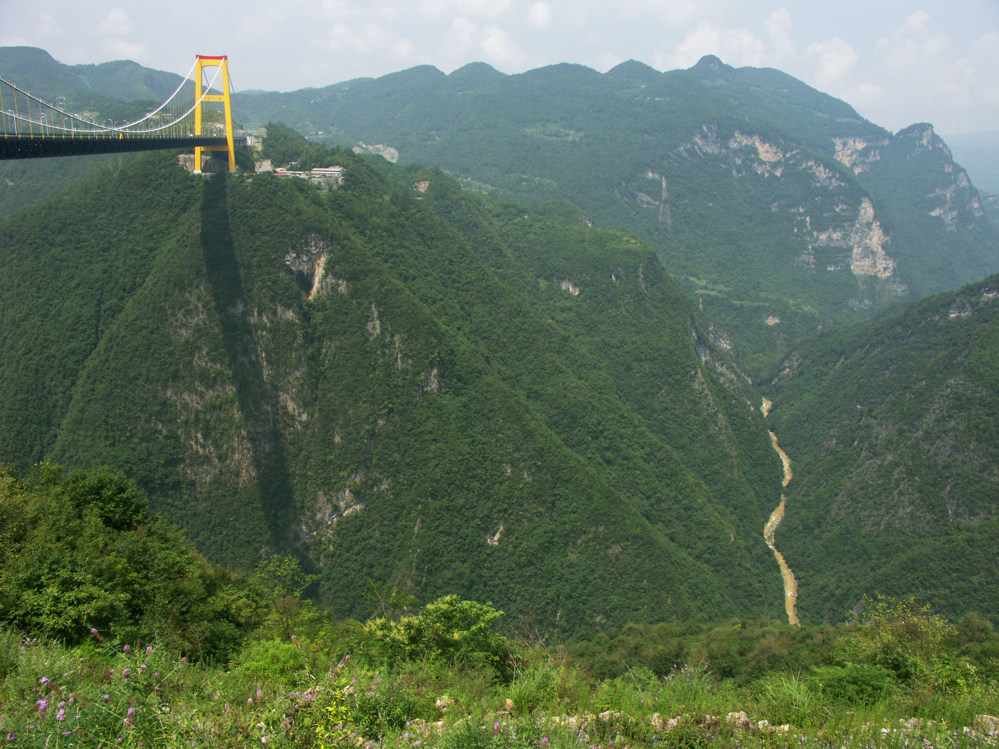
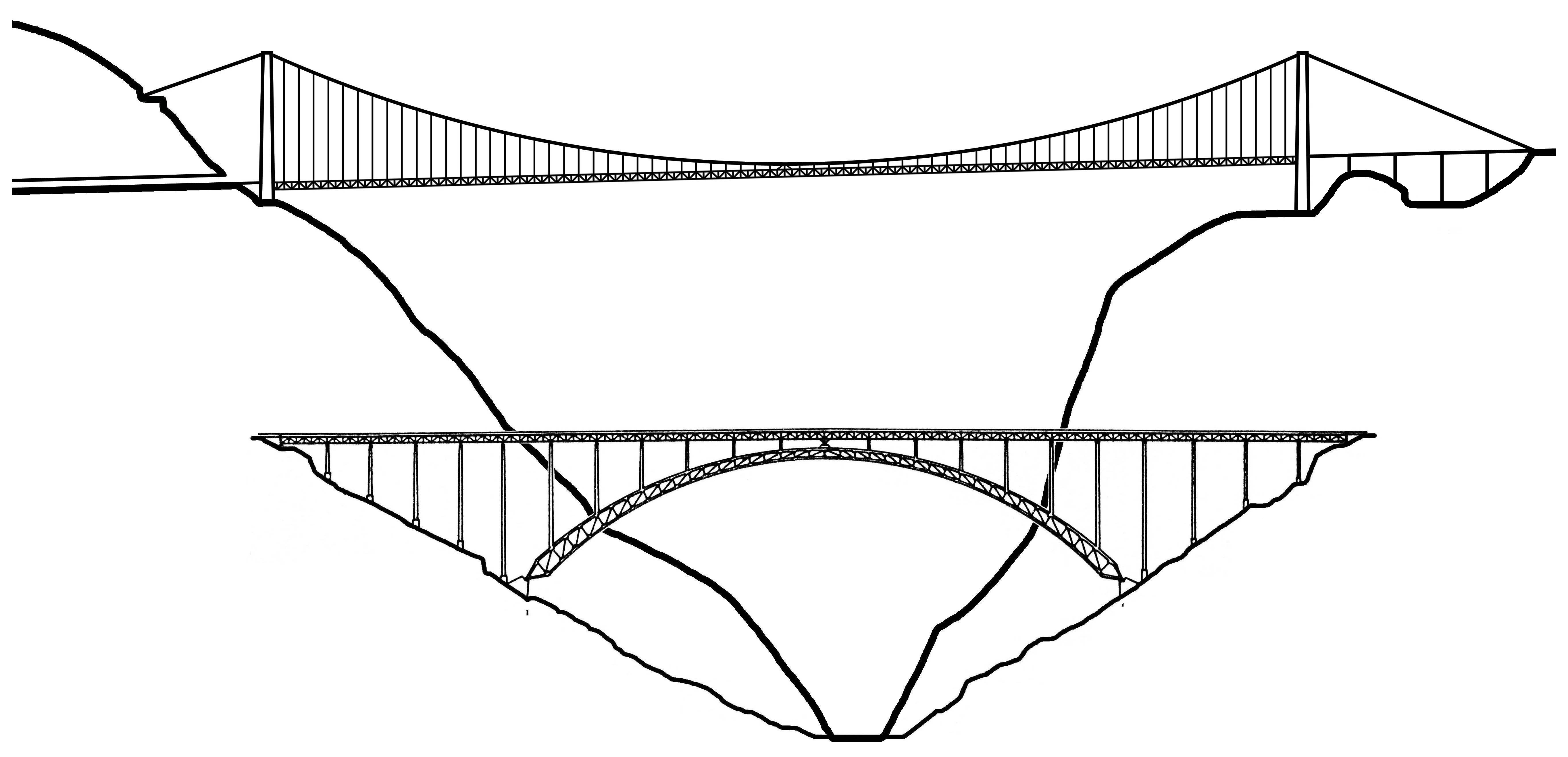
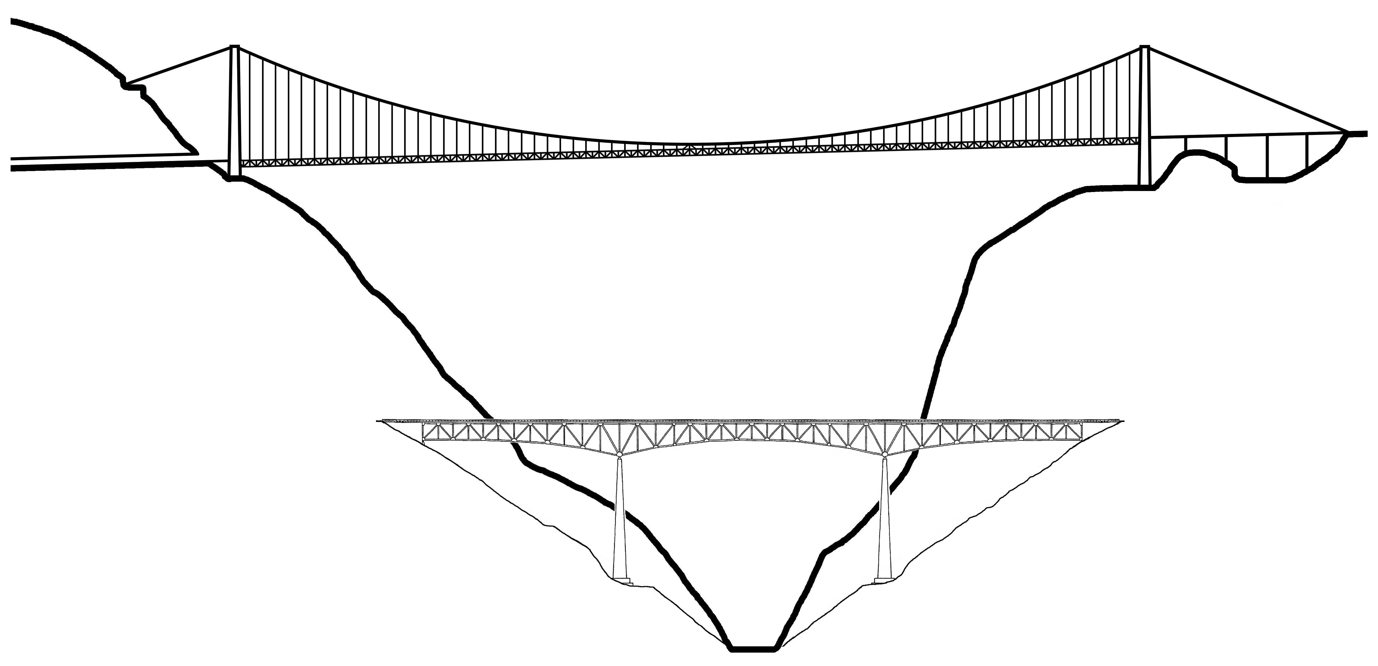
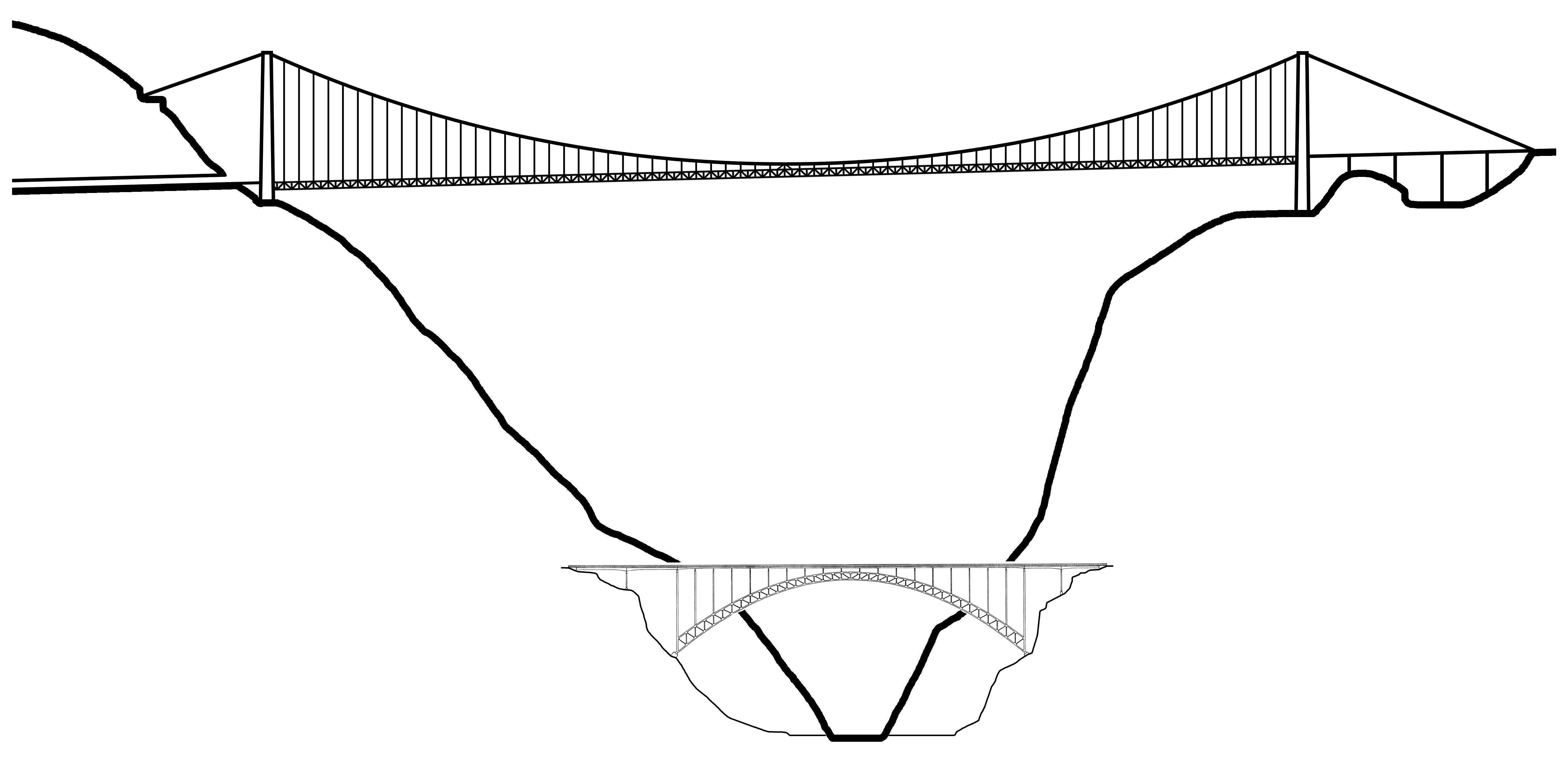
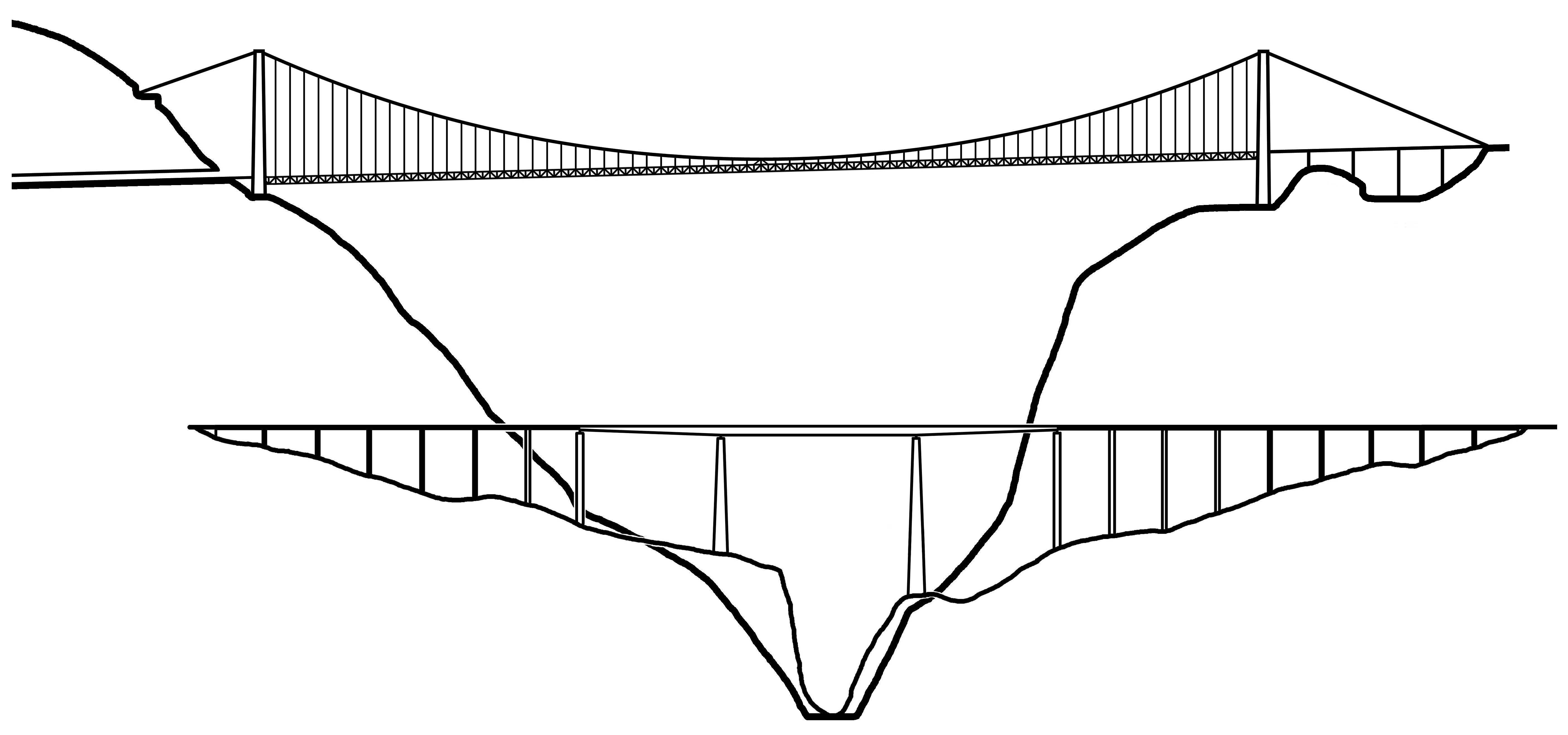
With a roadway 1,627 feet (496 mtrs) above the water, the Siduhe River bridge is the latest Chinese champ to take the record as the highest bridge in the world. Opened on November 15th, 2009, it is the 3rd Chinese bridge in less than a decade to claim the title of “World’s Highest Bridge” and is a symbol of just how fast and how far China’s highway infrastructure has come in such a short period of time.
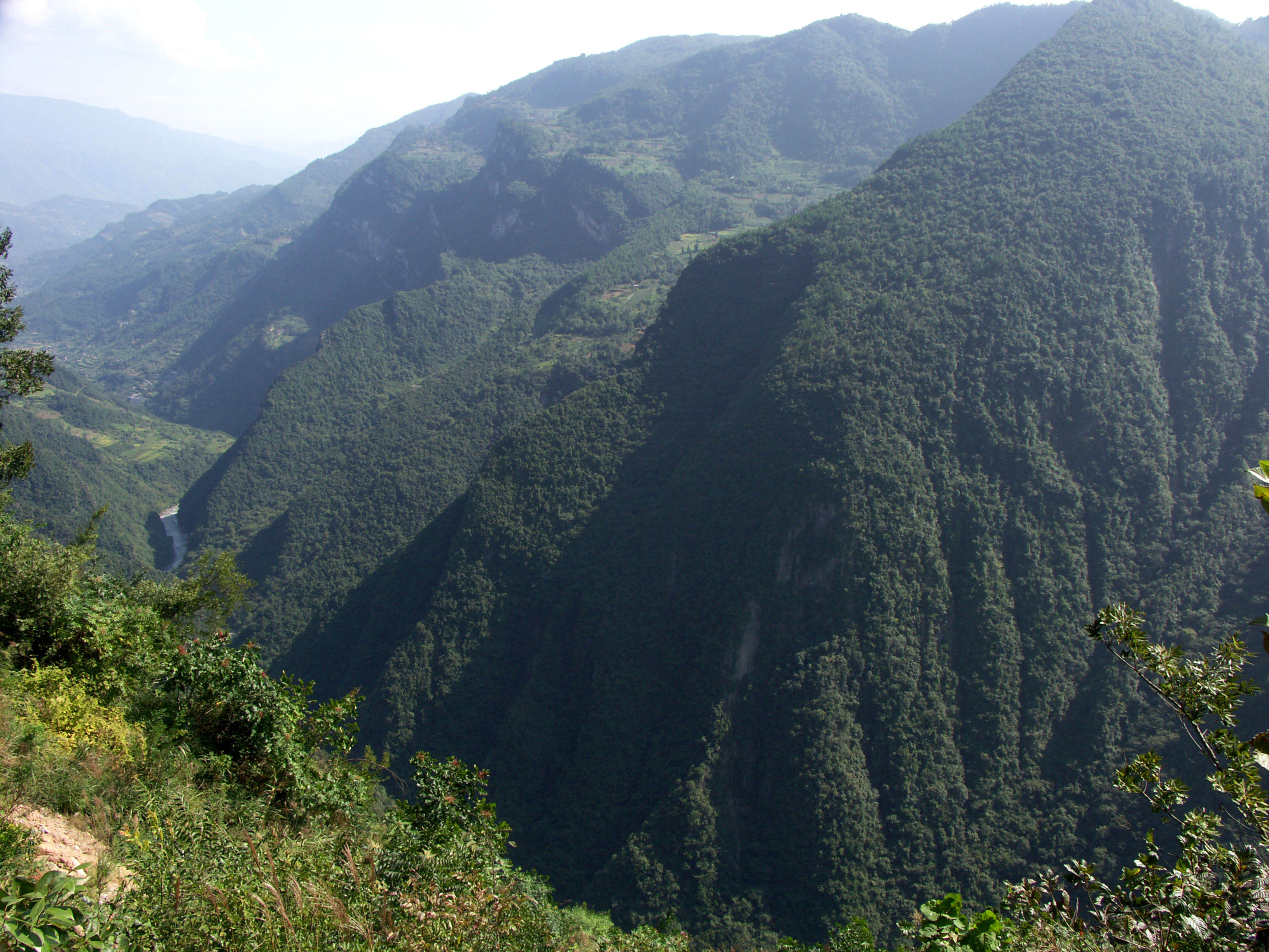
Located about 50 miles (80 km) south of the famous 3 Gorges region of the Yangtze River in China’s mountainous Hubei Province, the Siduhe suspension bridge is just one of several amazing structures on the last 300 mile (483 km) link of the 1,350 mile (2,175 km) long G50 Shanghai-Chongqing West Huyu Expressway that now connects Shanghai on the Pacific coast with the cities of Chongqing and Chengdu in the west.
The 10 highest of China’s many high bridges were all built after 2000 and are located primarily in the 3 western Provinces of Guizhou, Hubei and Chongqing. All 10 of these bridges exceed 1,300 feet (400 meters) in height and dominate the world’s 10 highest while four have held the world record for highest road or rail bridge. Even more amazing, 50 Chinese bridges are now higher than Colorado’s Royal Gorge, the former world’s highest bridge from 1929 to 2001.
It would only be appropriate that the second highest suspension bridge in the world is also on one of the greatest bridge “high-ways” in the world. Stretching 300 miles (483 km) from Yichang and the 3 Gorges dam in the east to the city of Zhongxian in the west, this 4-lane engineering marvel has more than half a dozen spectacular bridges that exceed 500 feet (150 meters) in height including Zhijinghe, formerly the highest roadway arch bridge in the world. This more direct route bypasses one of the toughest and most mountainous stretches of the Yangtze River. What once took more than a day of travel on dangerous mountain roads or a Yangtze river boat can now be safely traversed in 5 hours along the G50 Expressway.
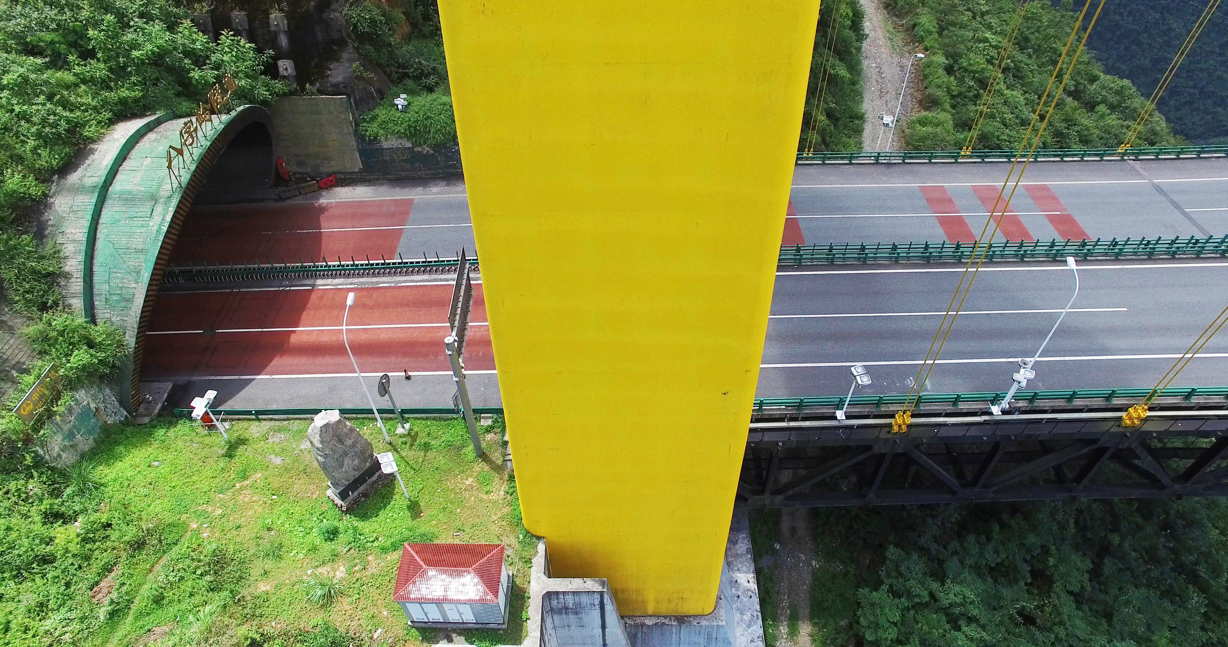
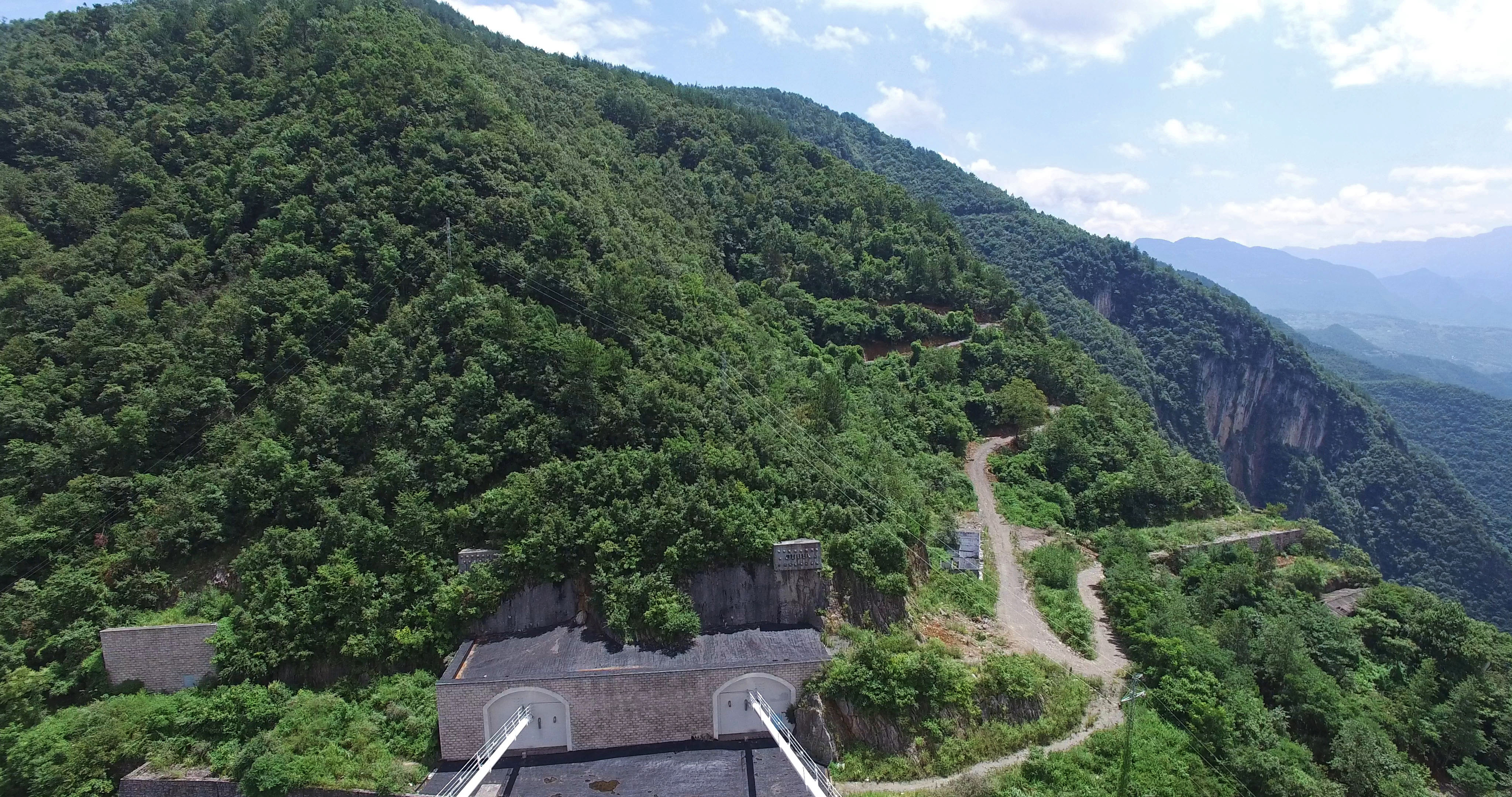
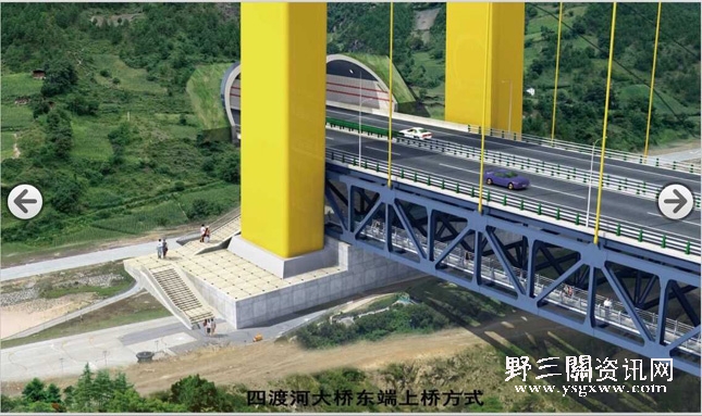
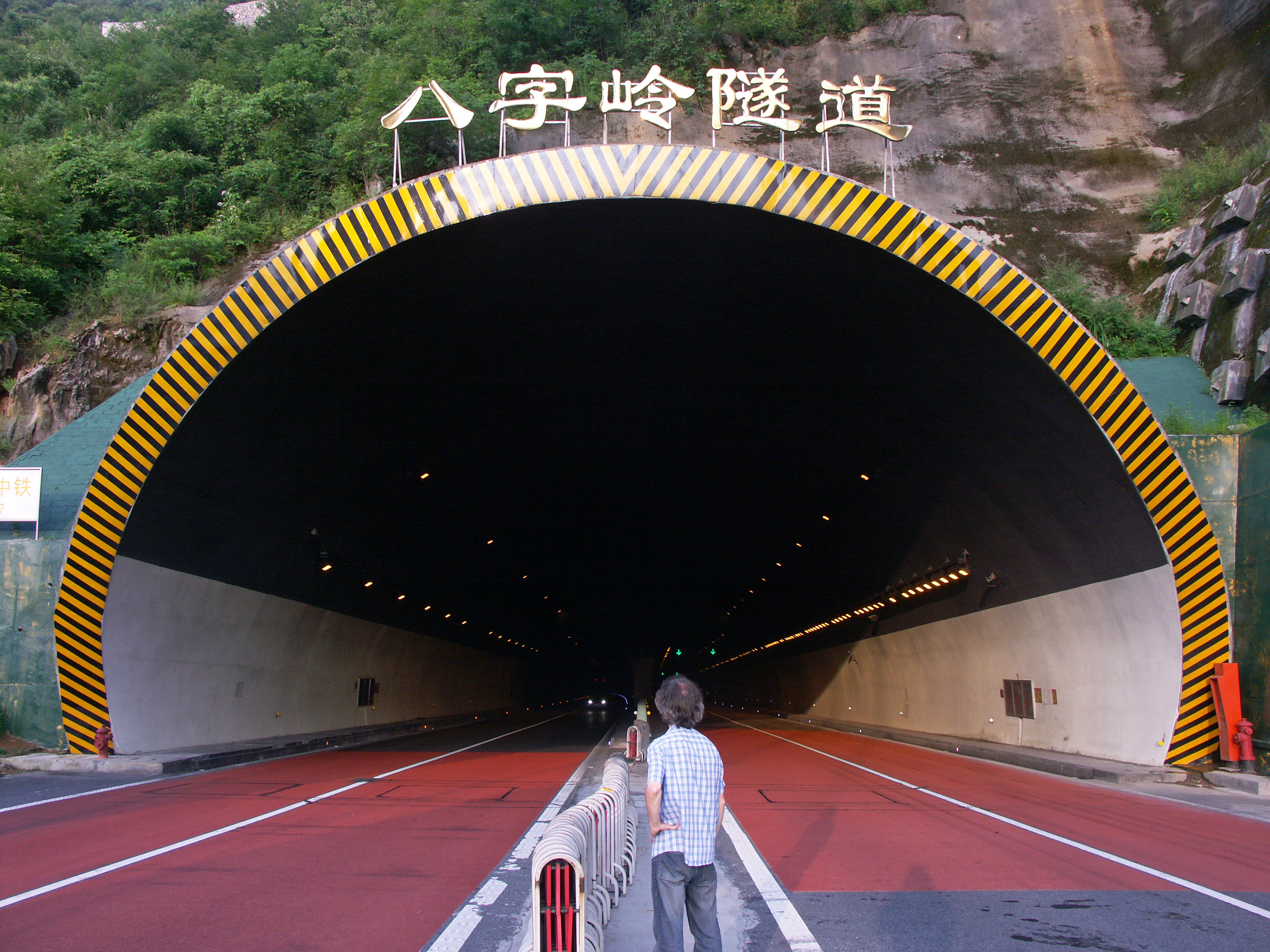
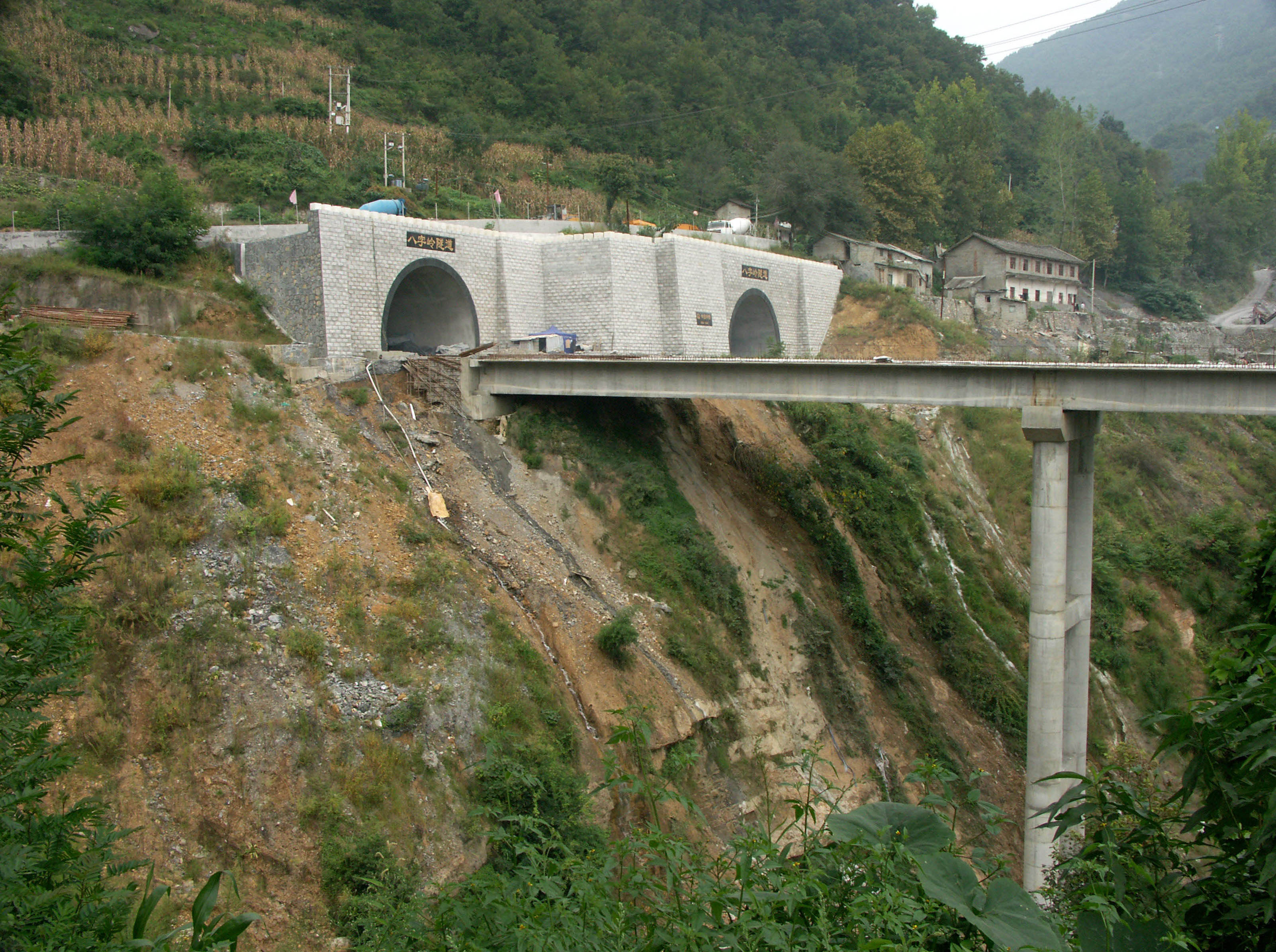
The success of the route also owes as much to the construction of the numerous tunnels that punch through dozens of towering peaks that blocked the highway’s path. One of the more impressive of these tunnels leads to the east end of the Siduhe bridge and makes for one of the world’s more dramatic bridge introductions.
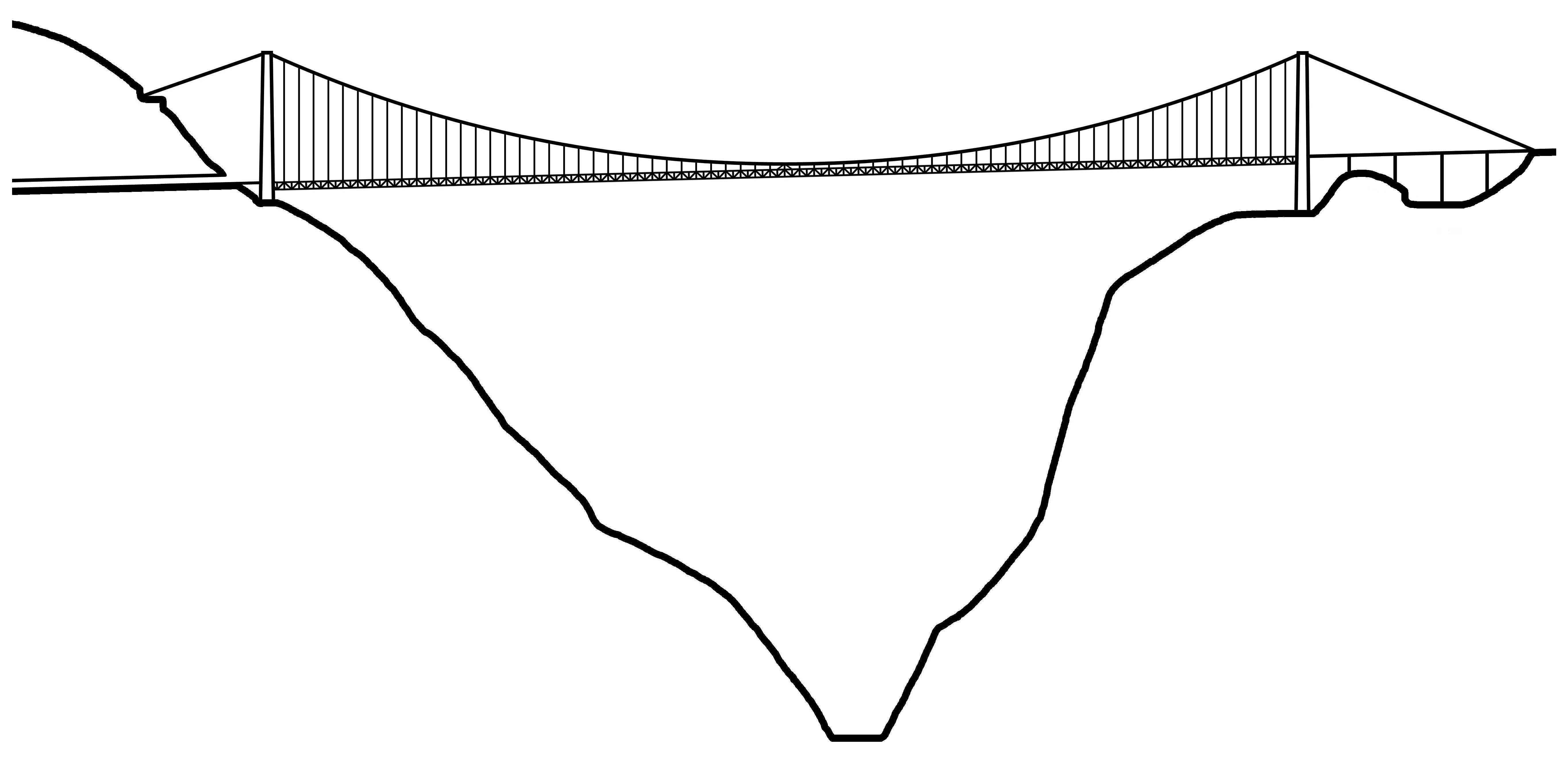
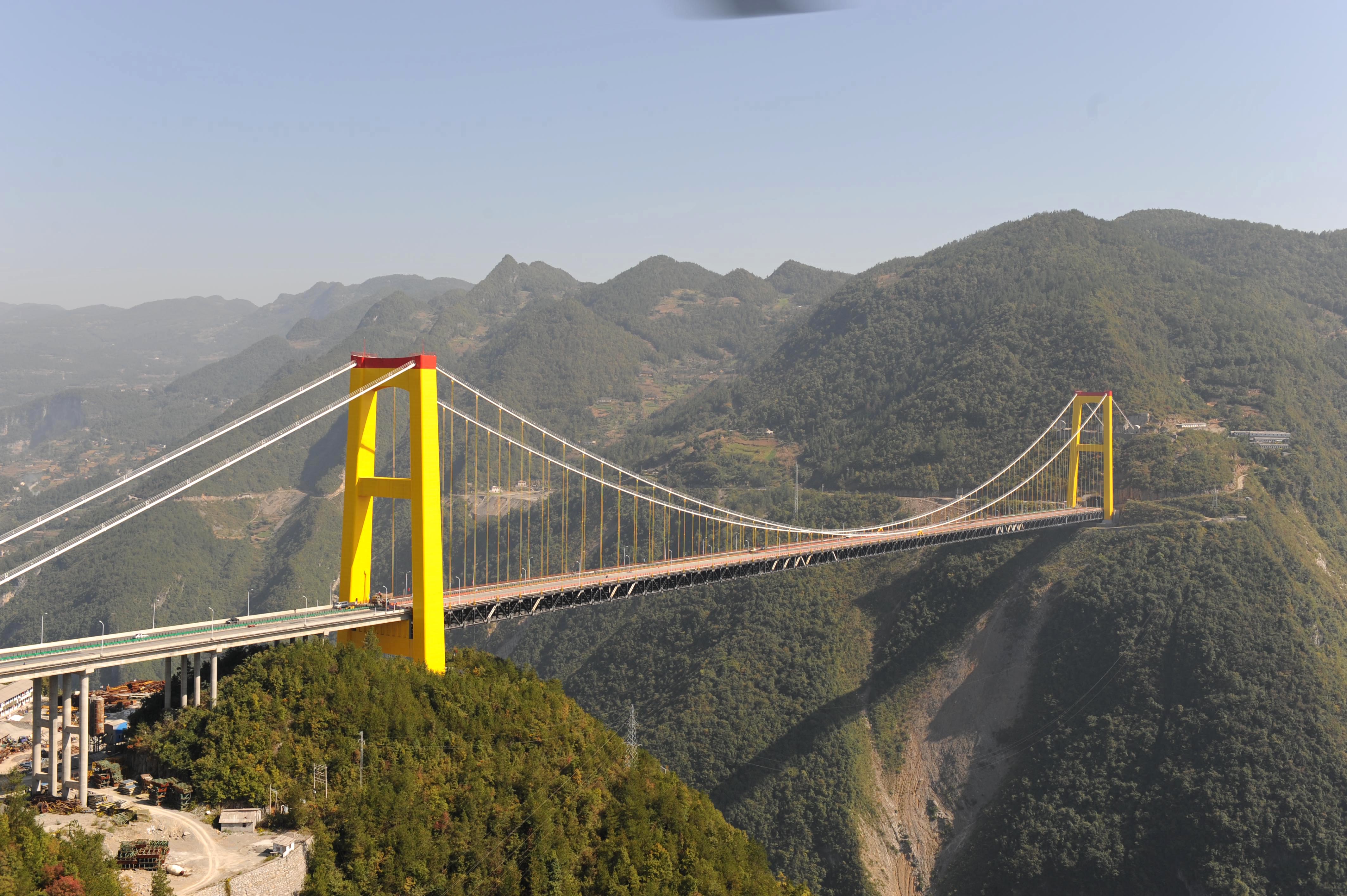
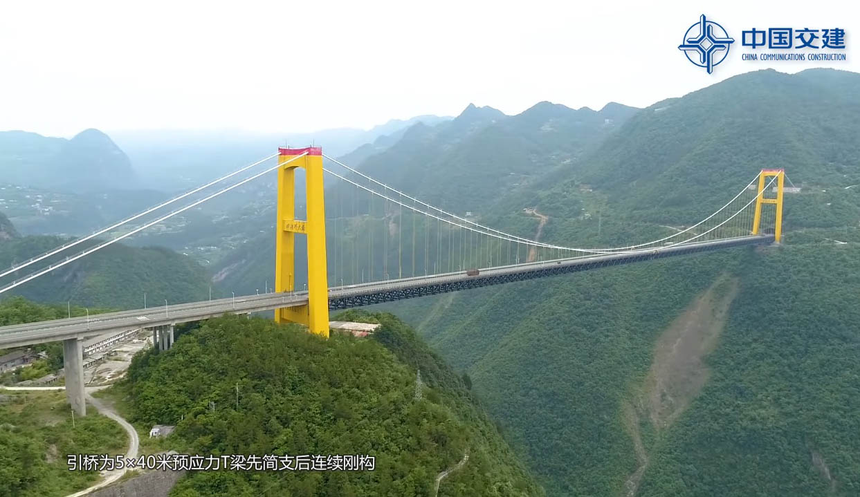
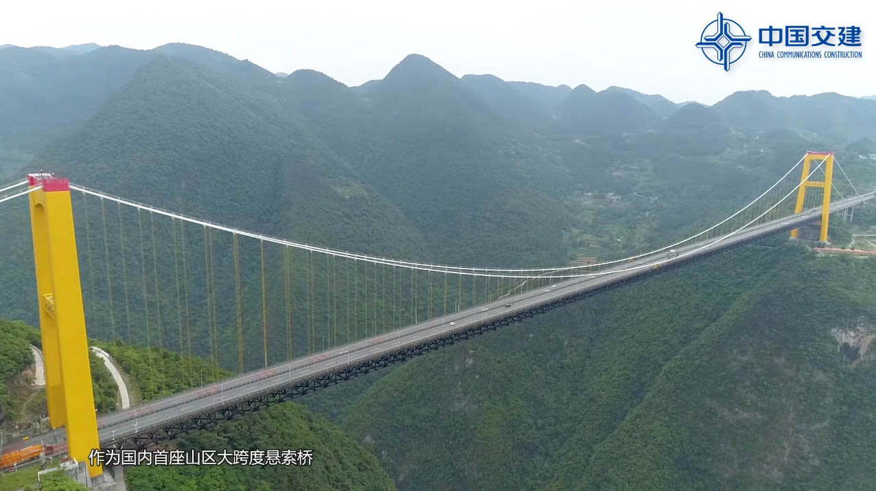
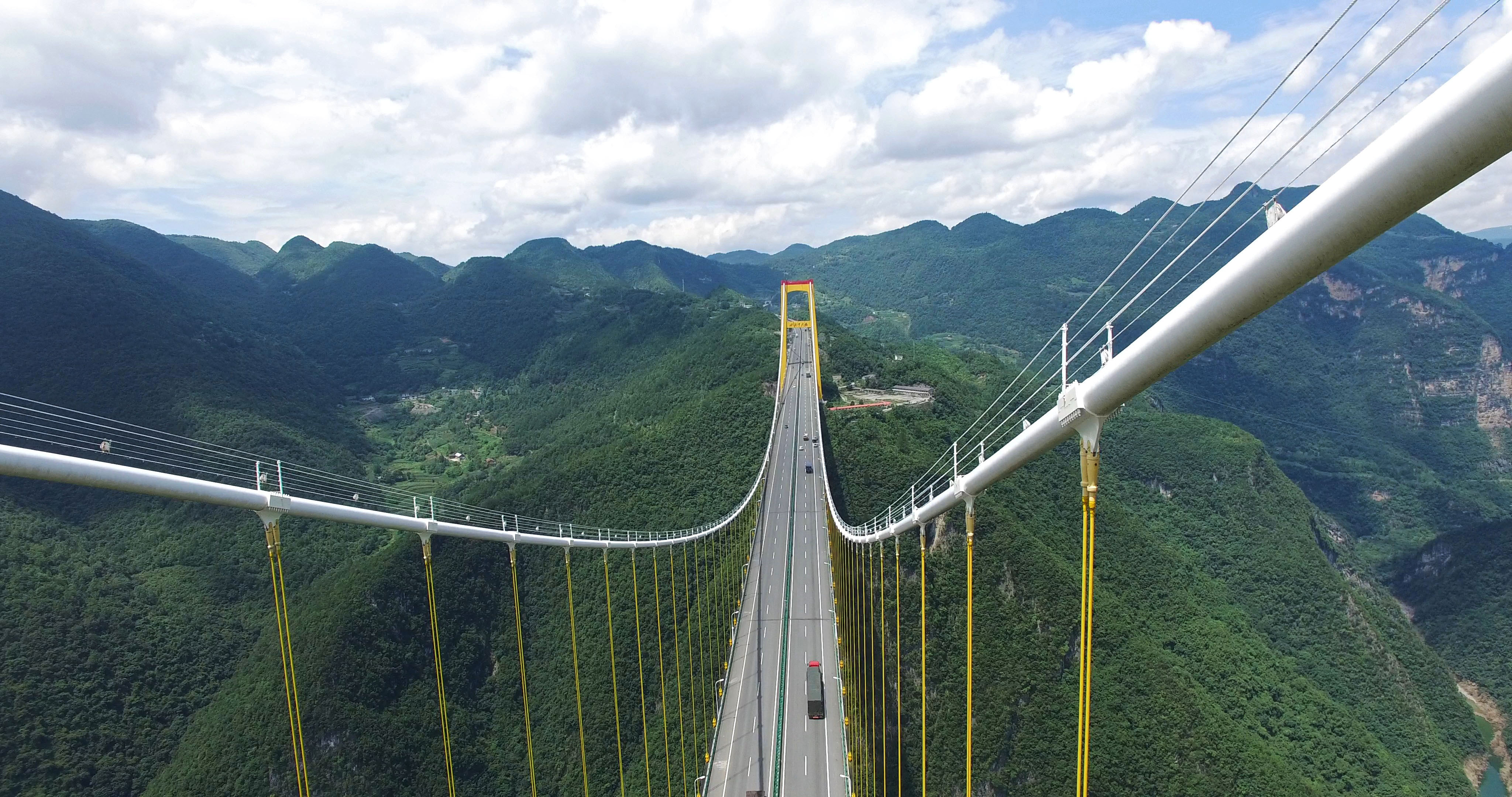
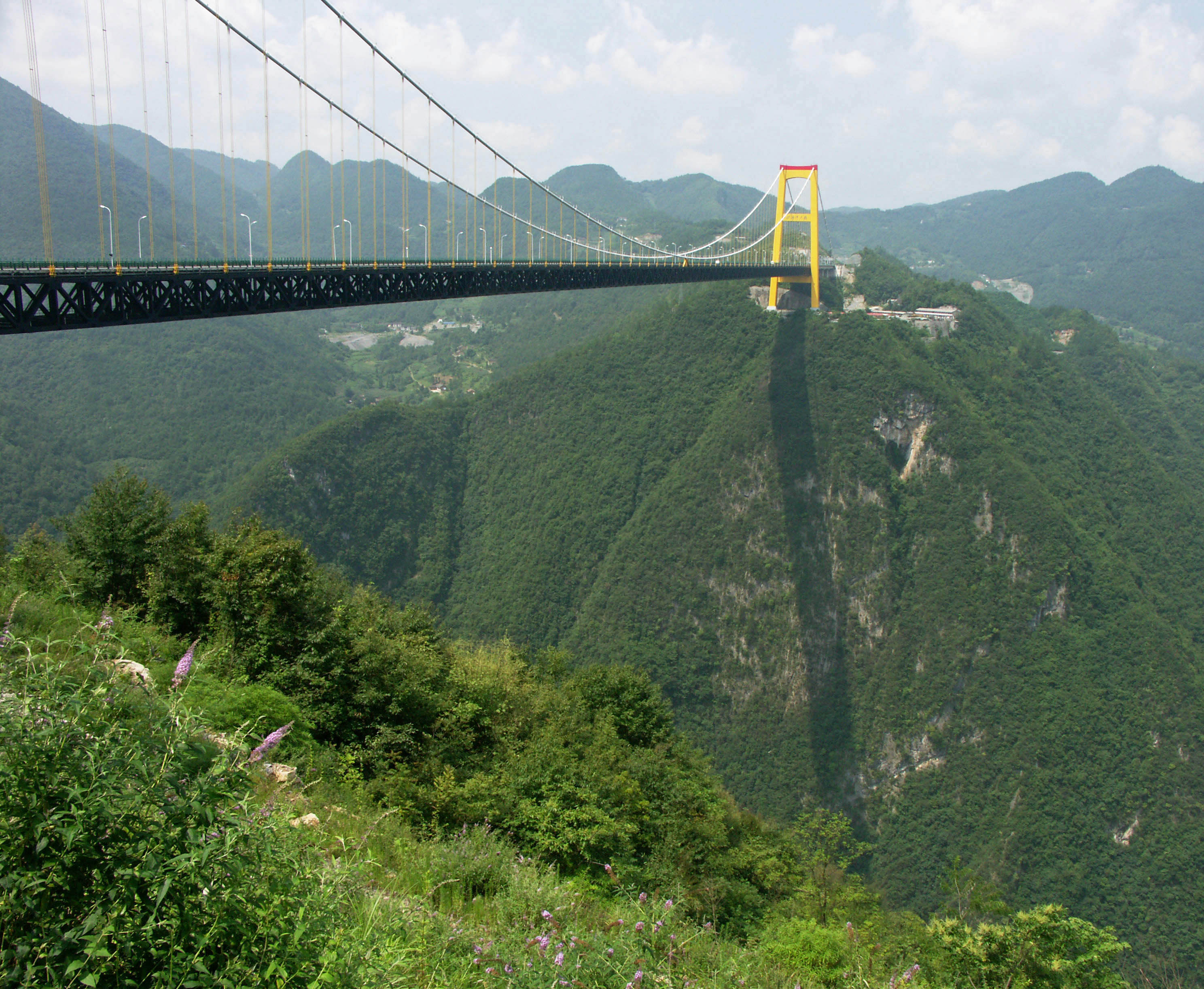
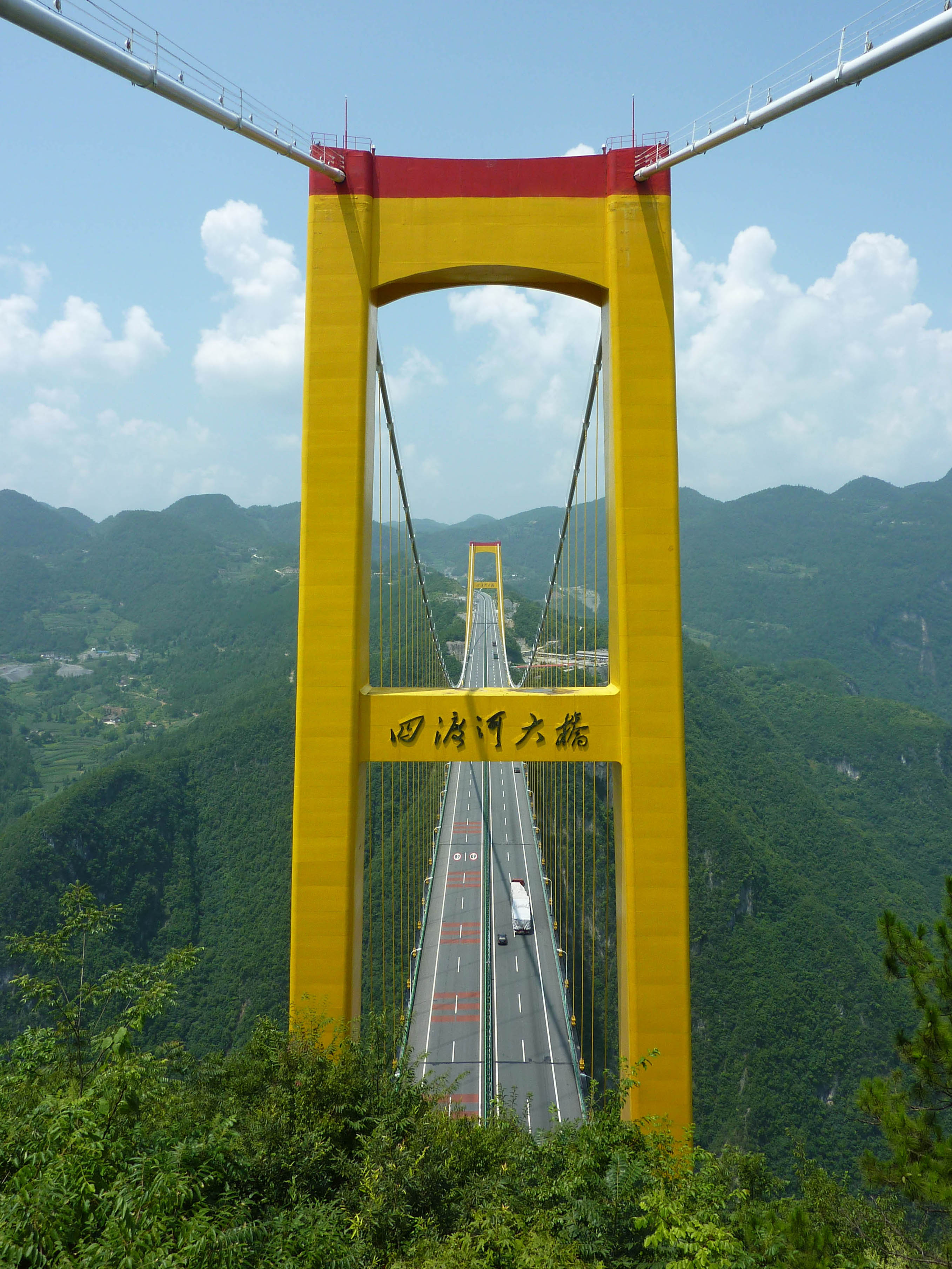
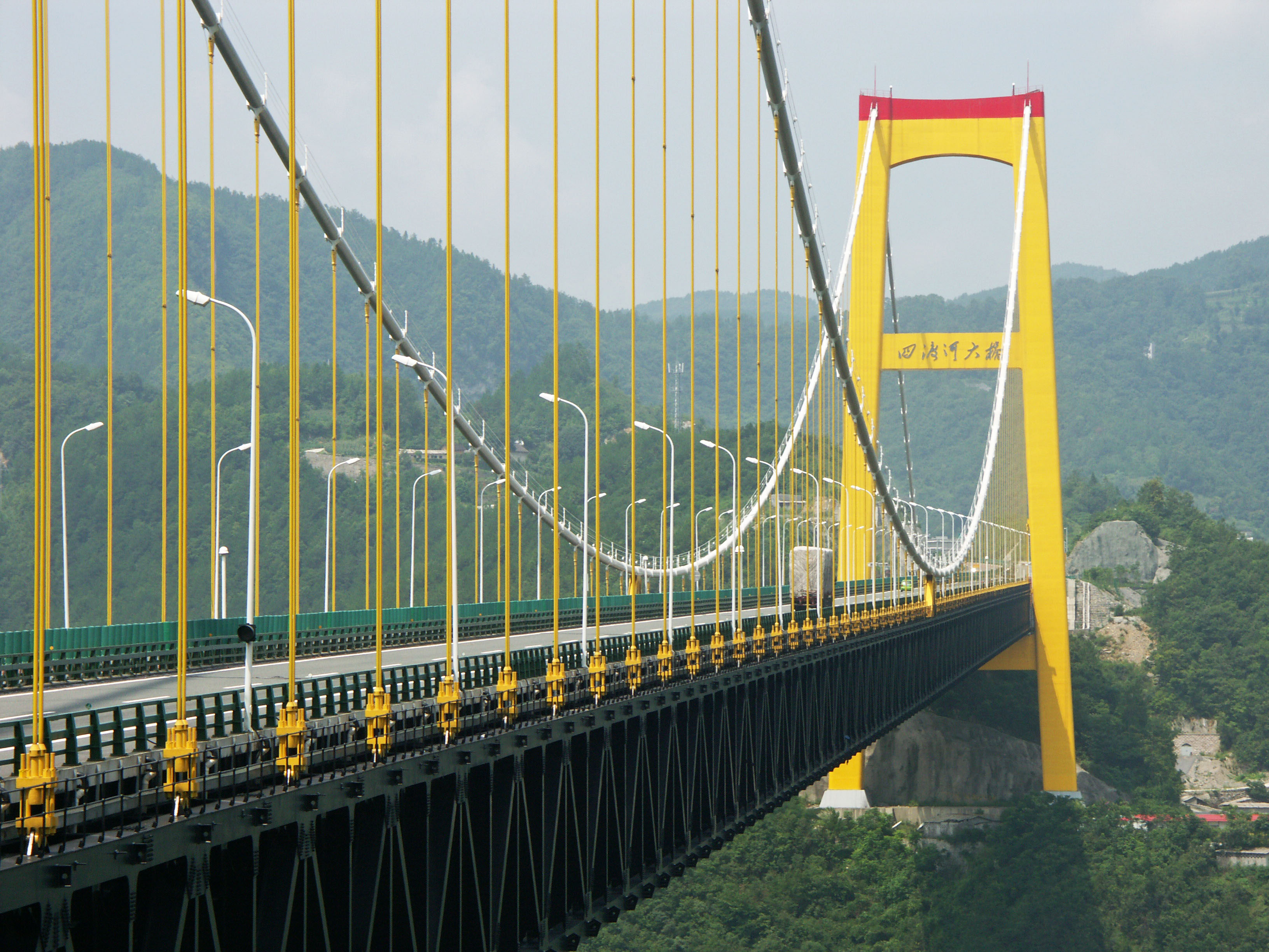
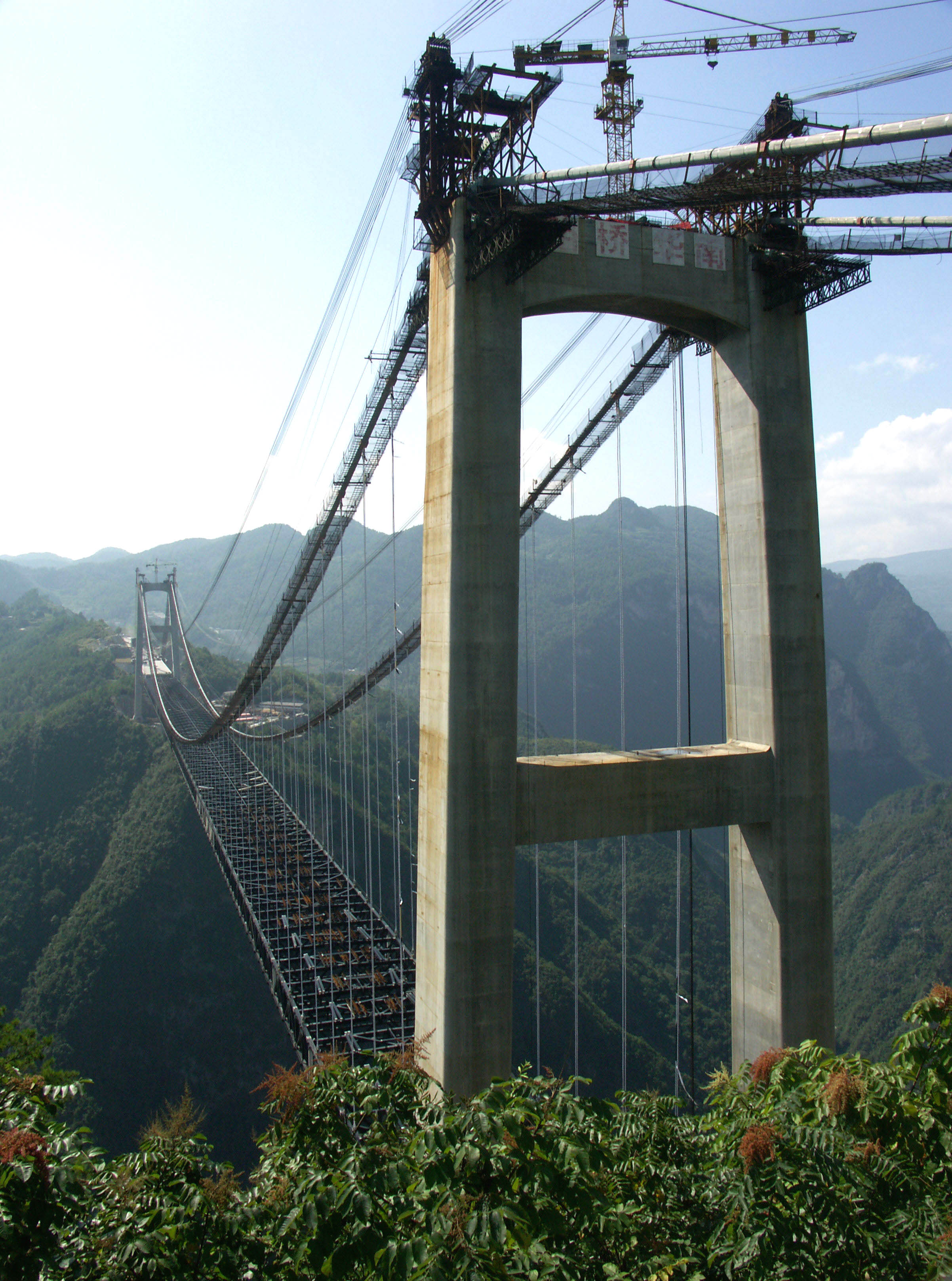
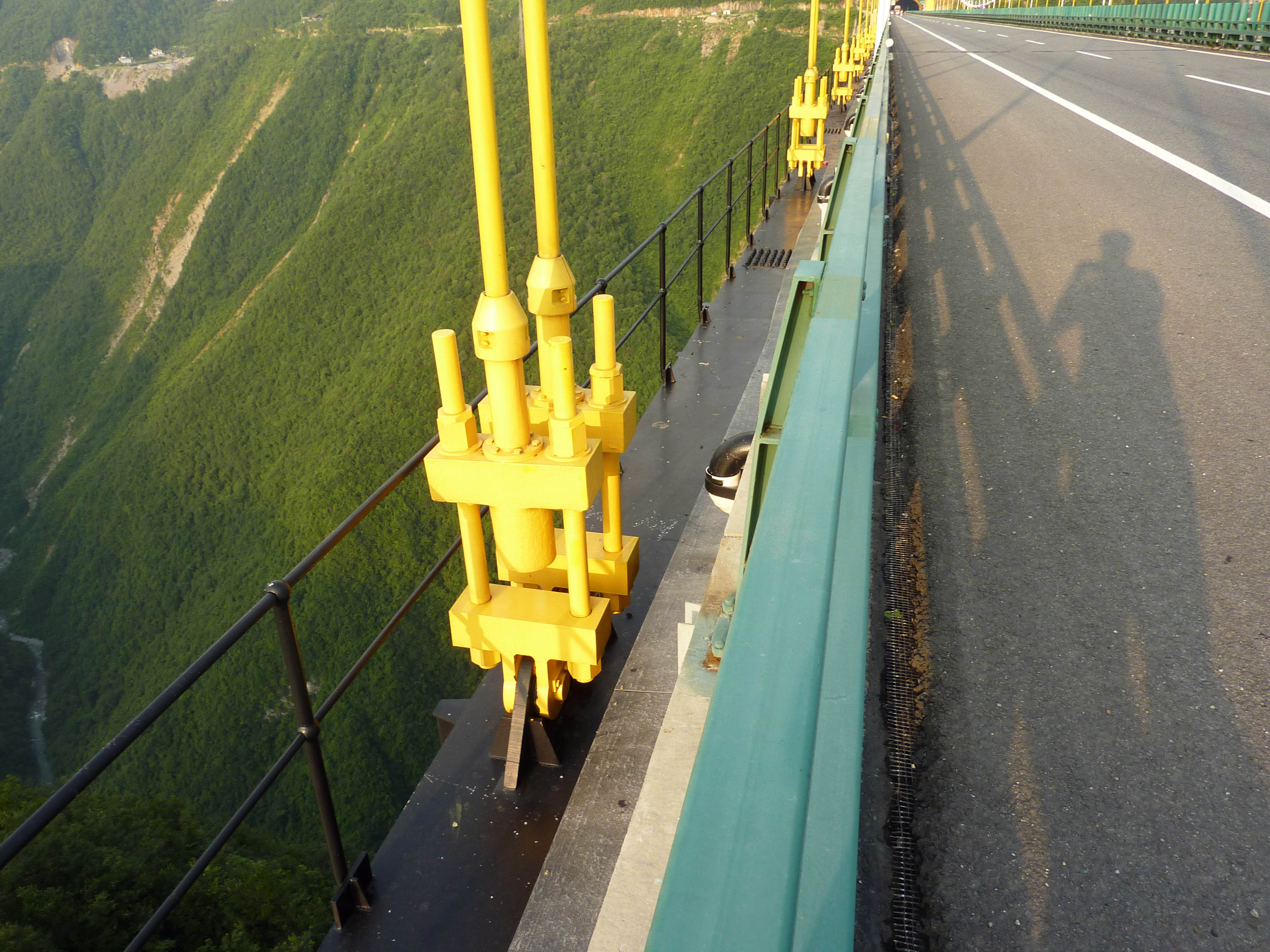
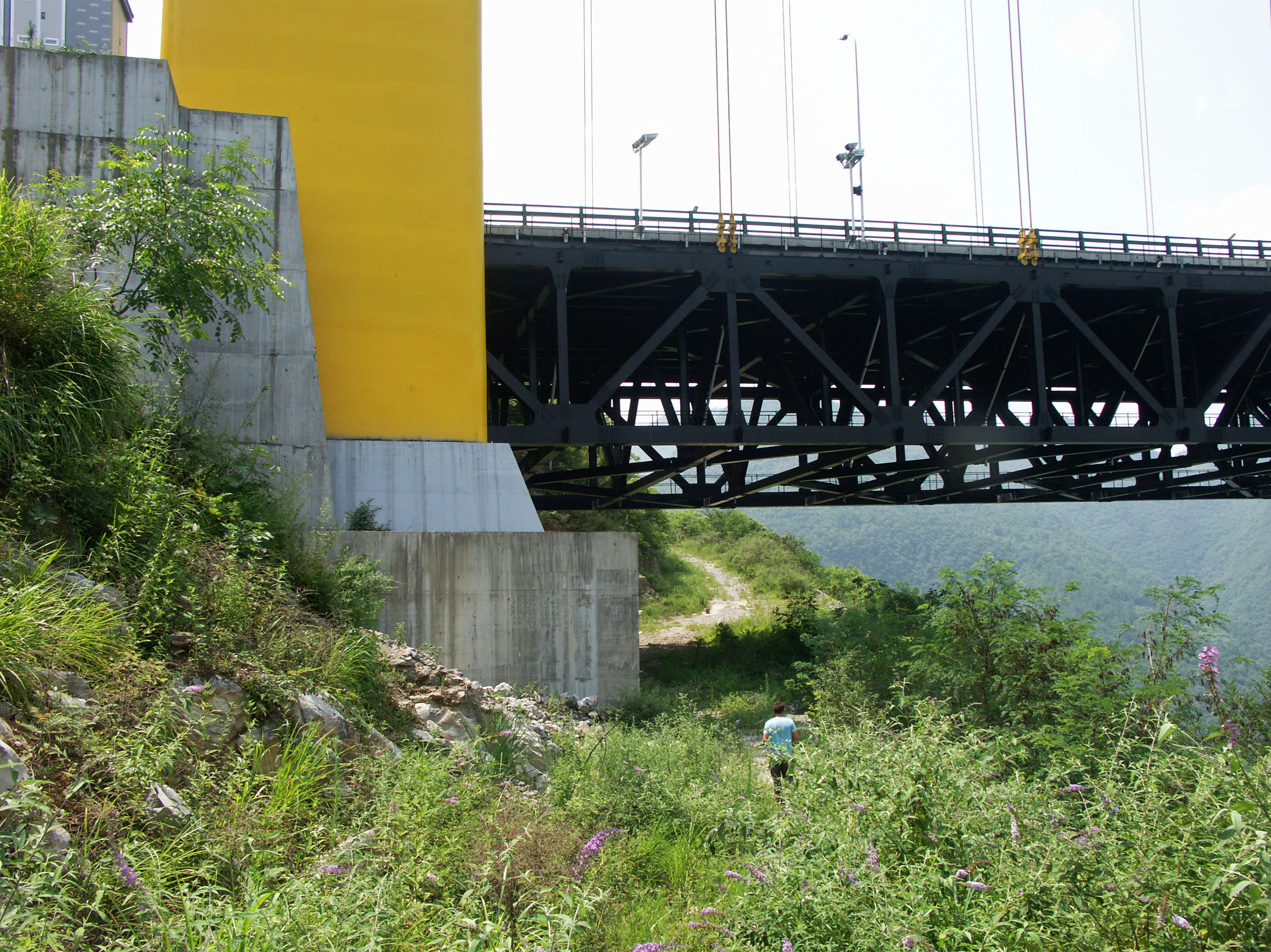
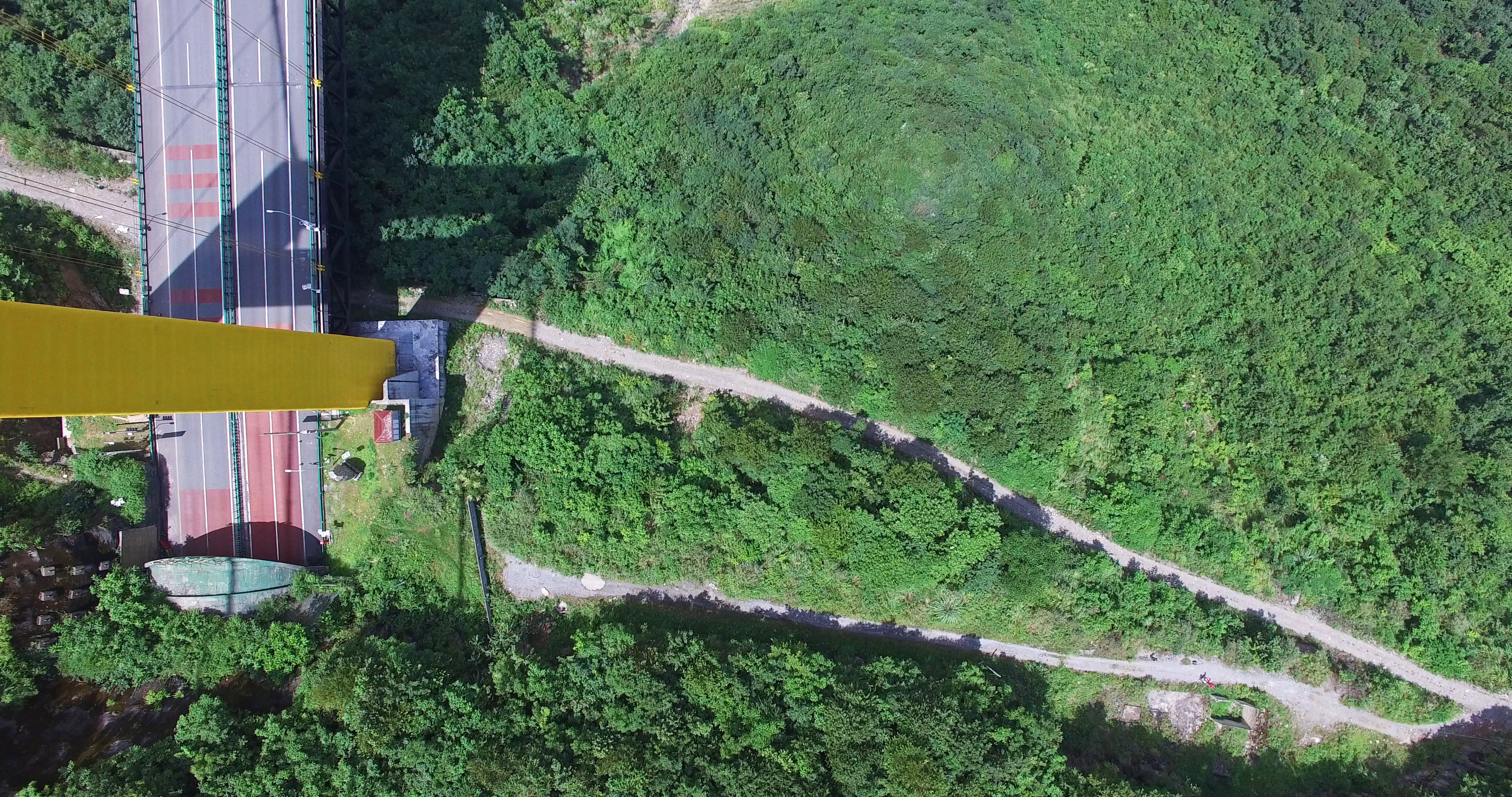
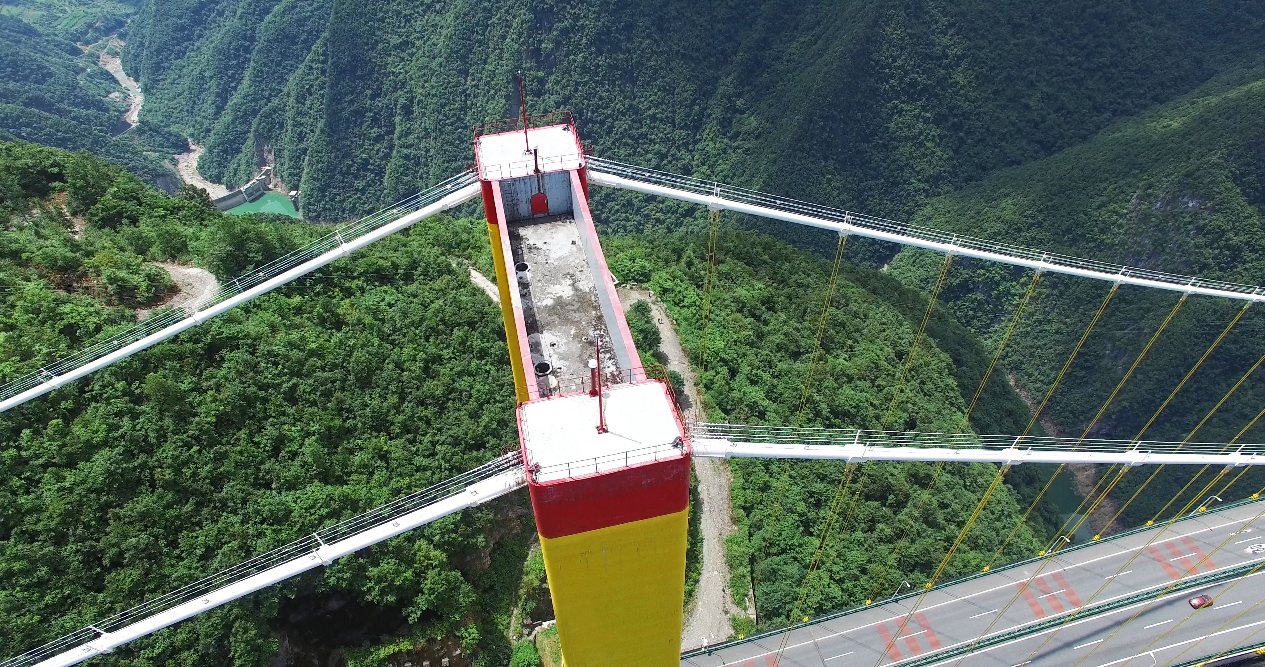
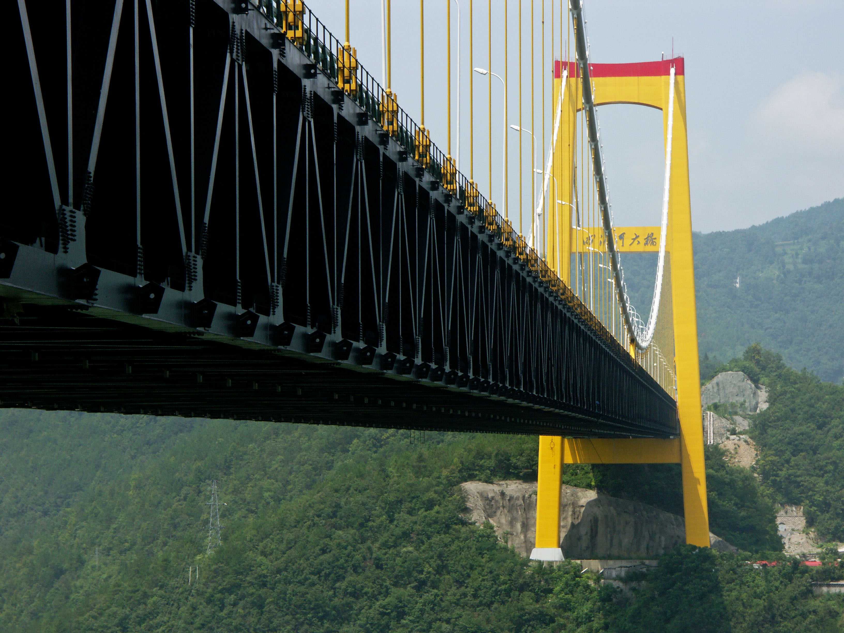
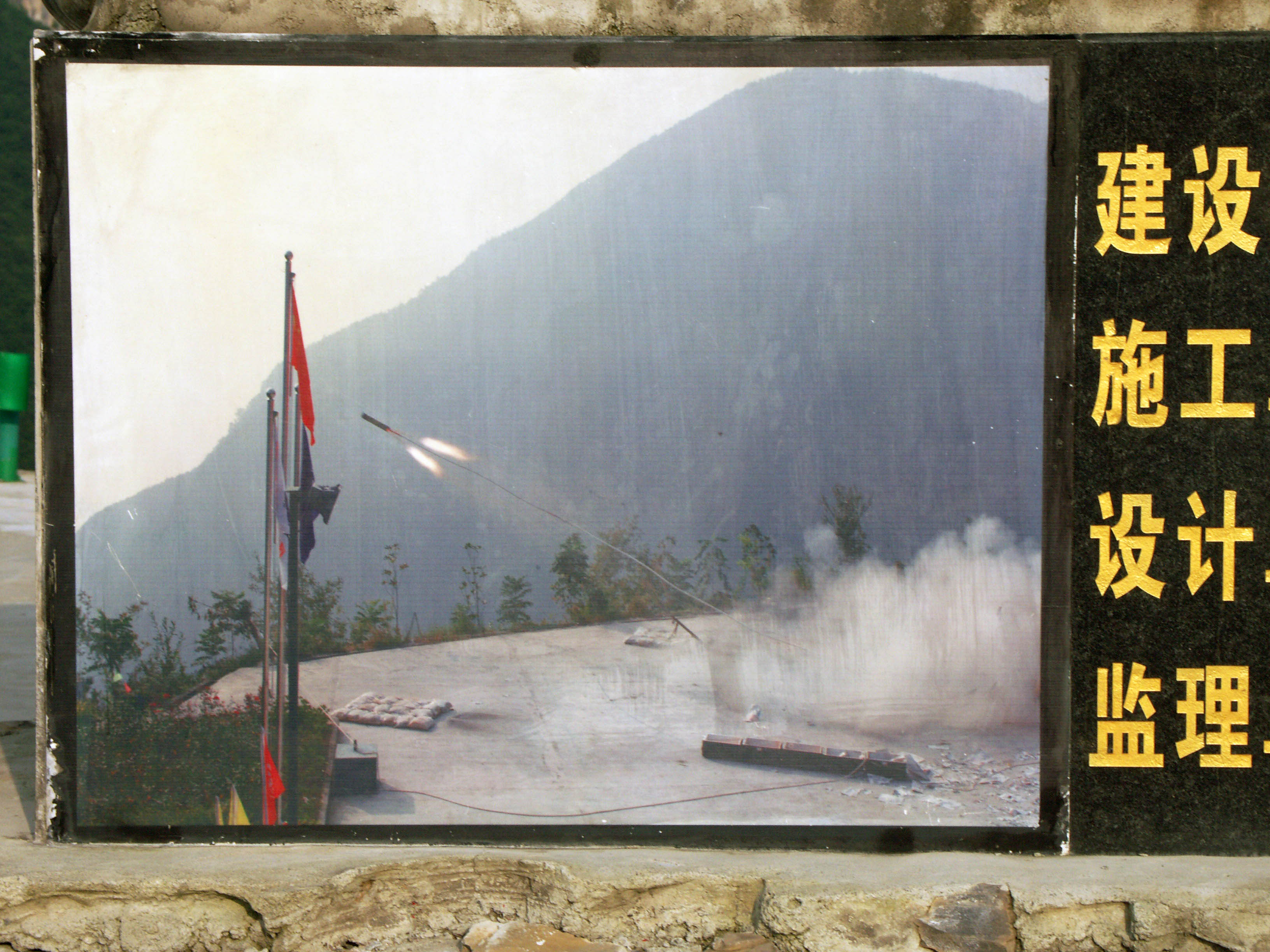
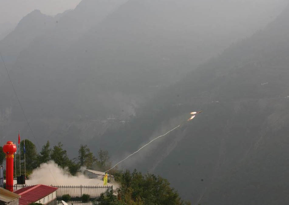
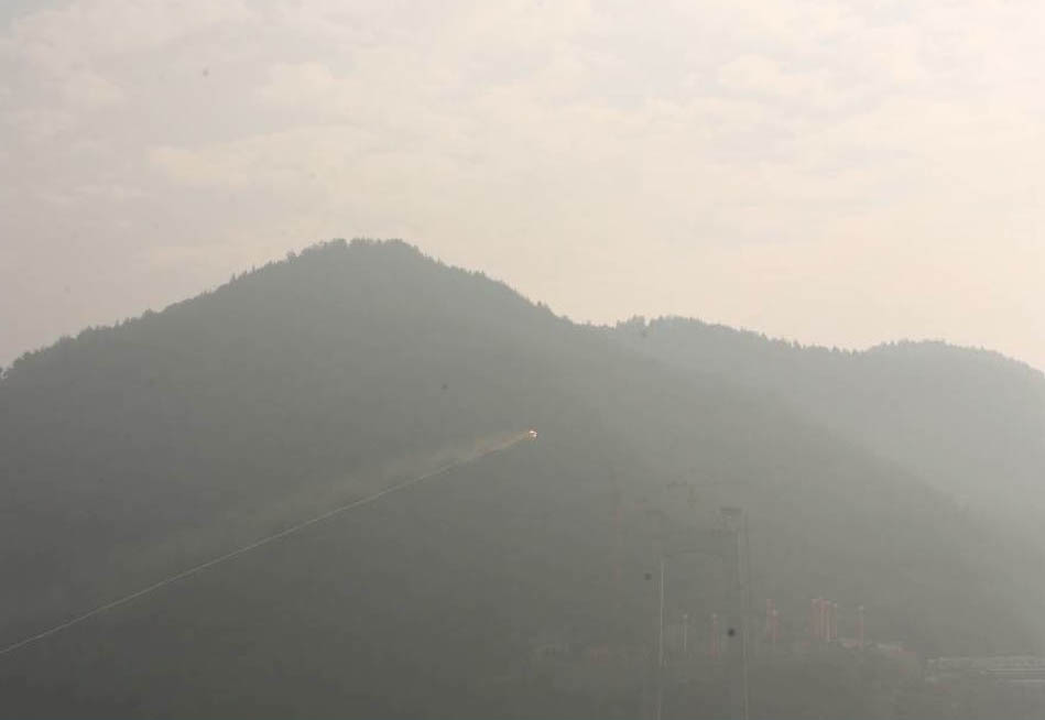
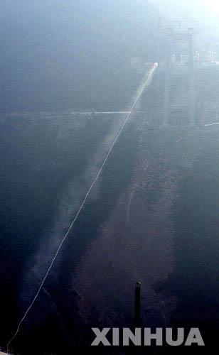
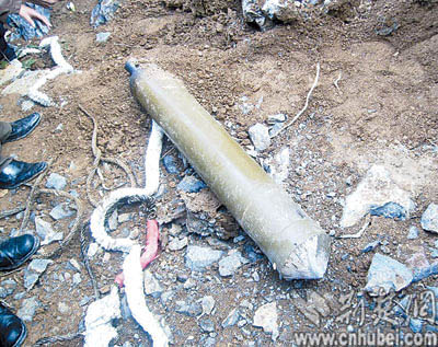
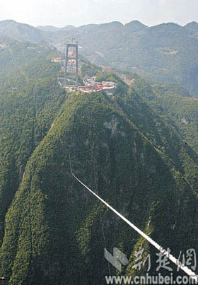
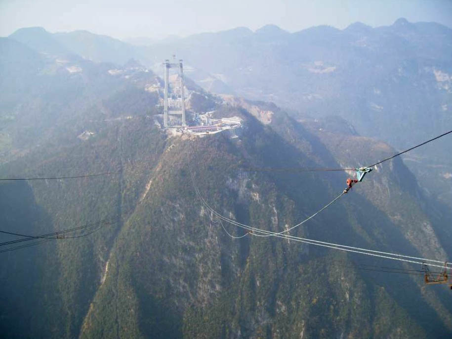
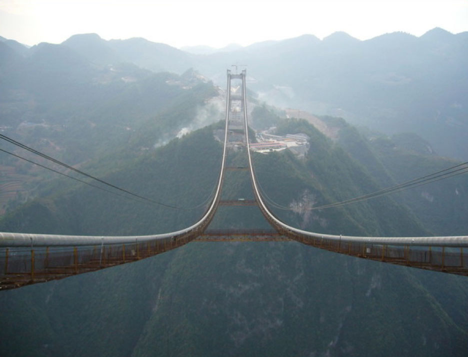
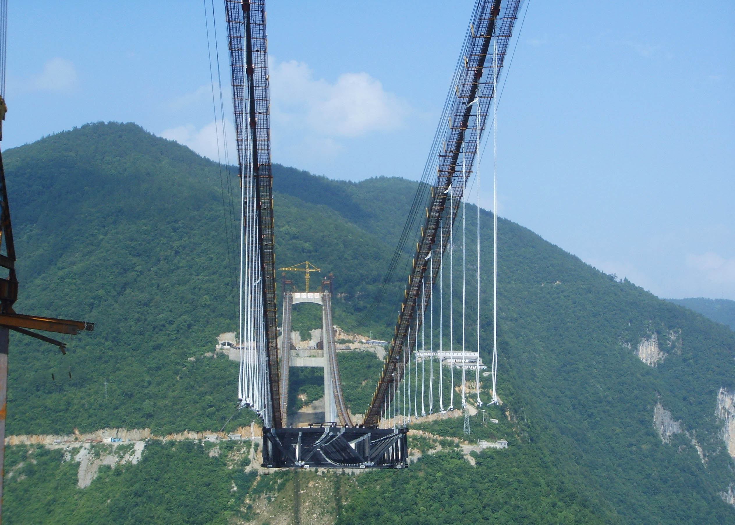
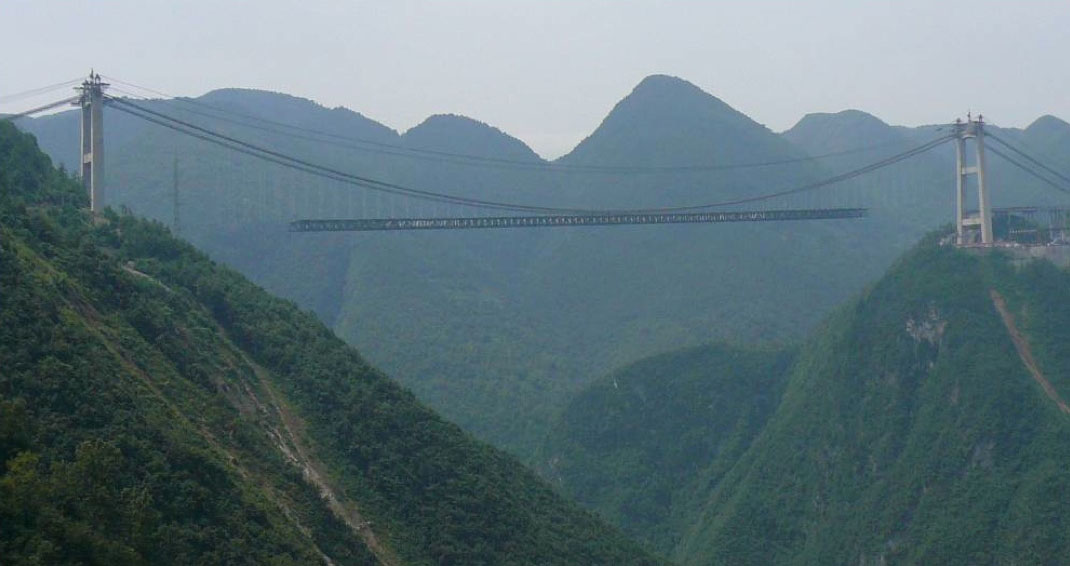
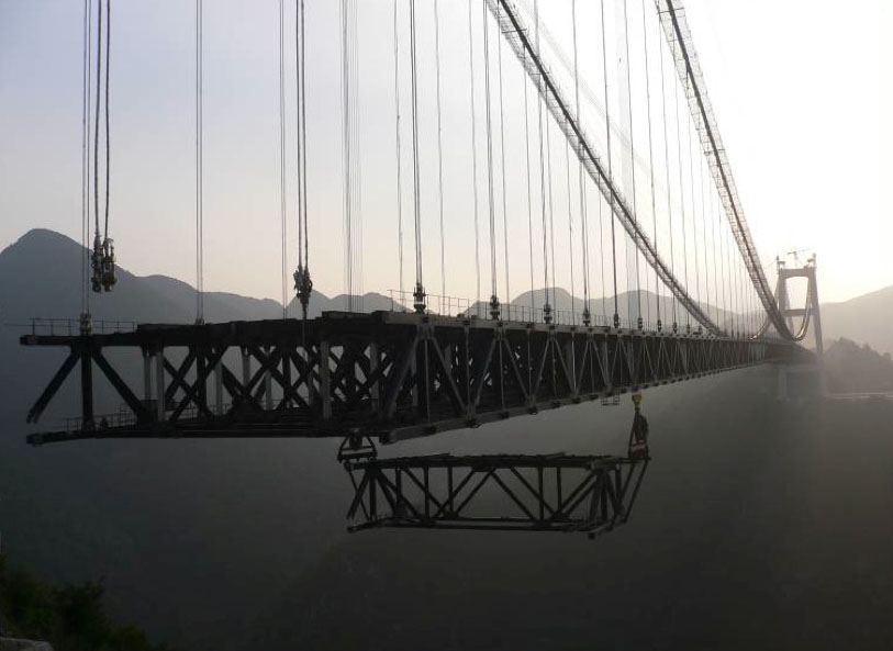
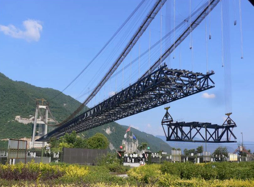
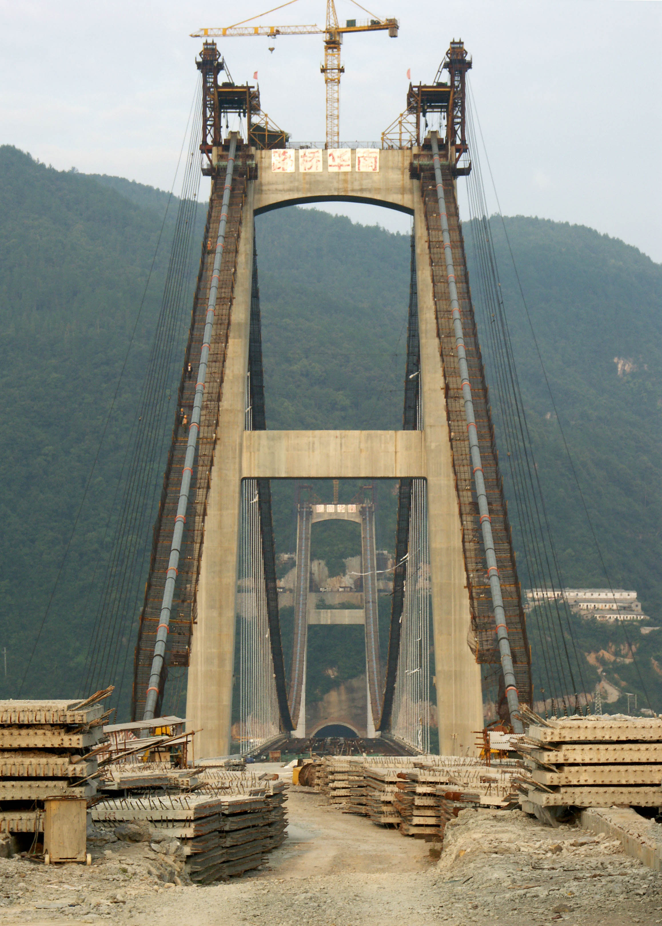
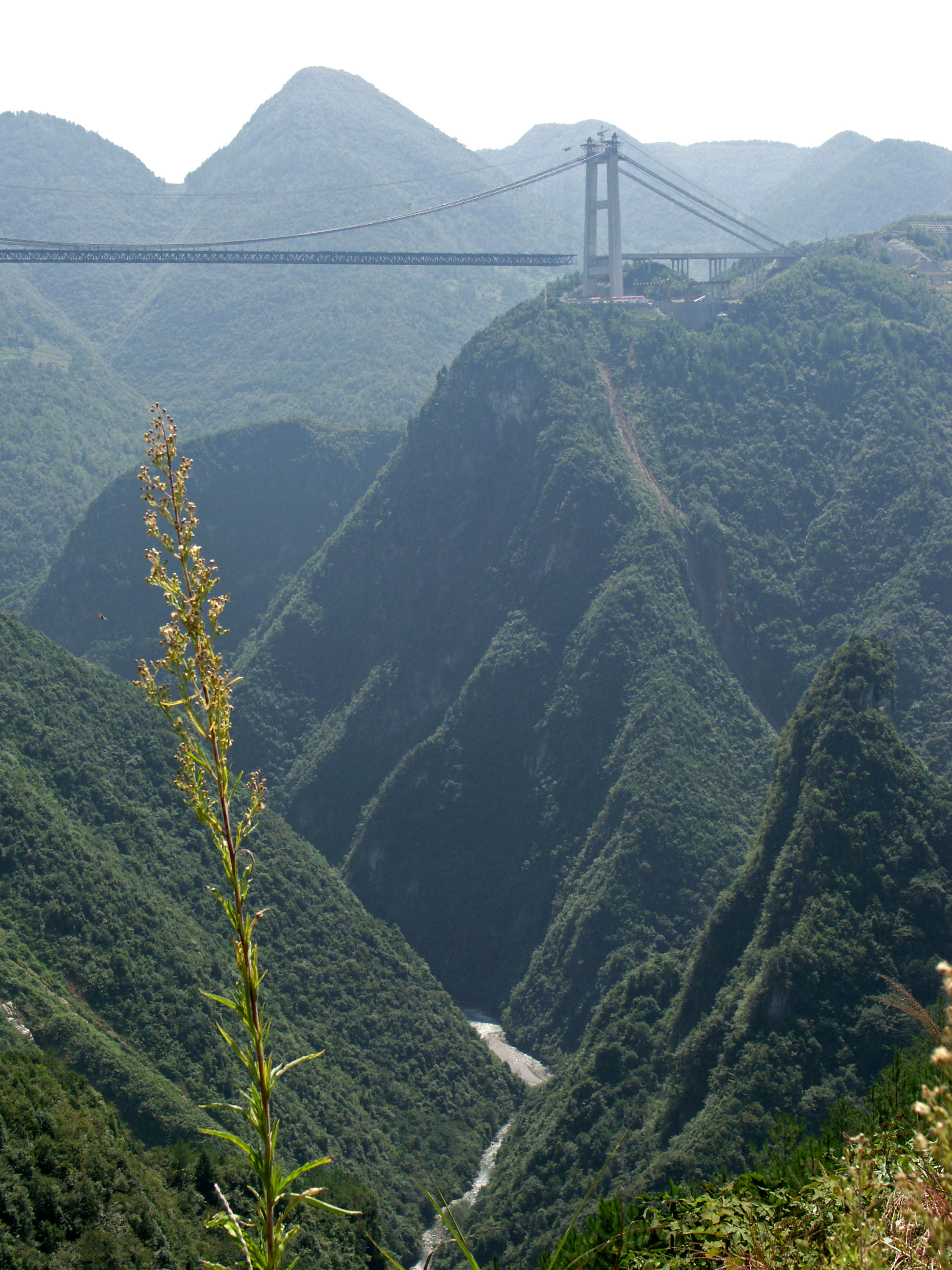
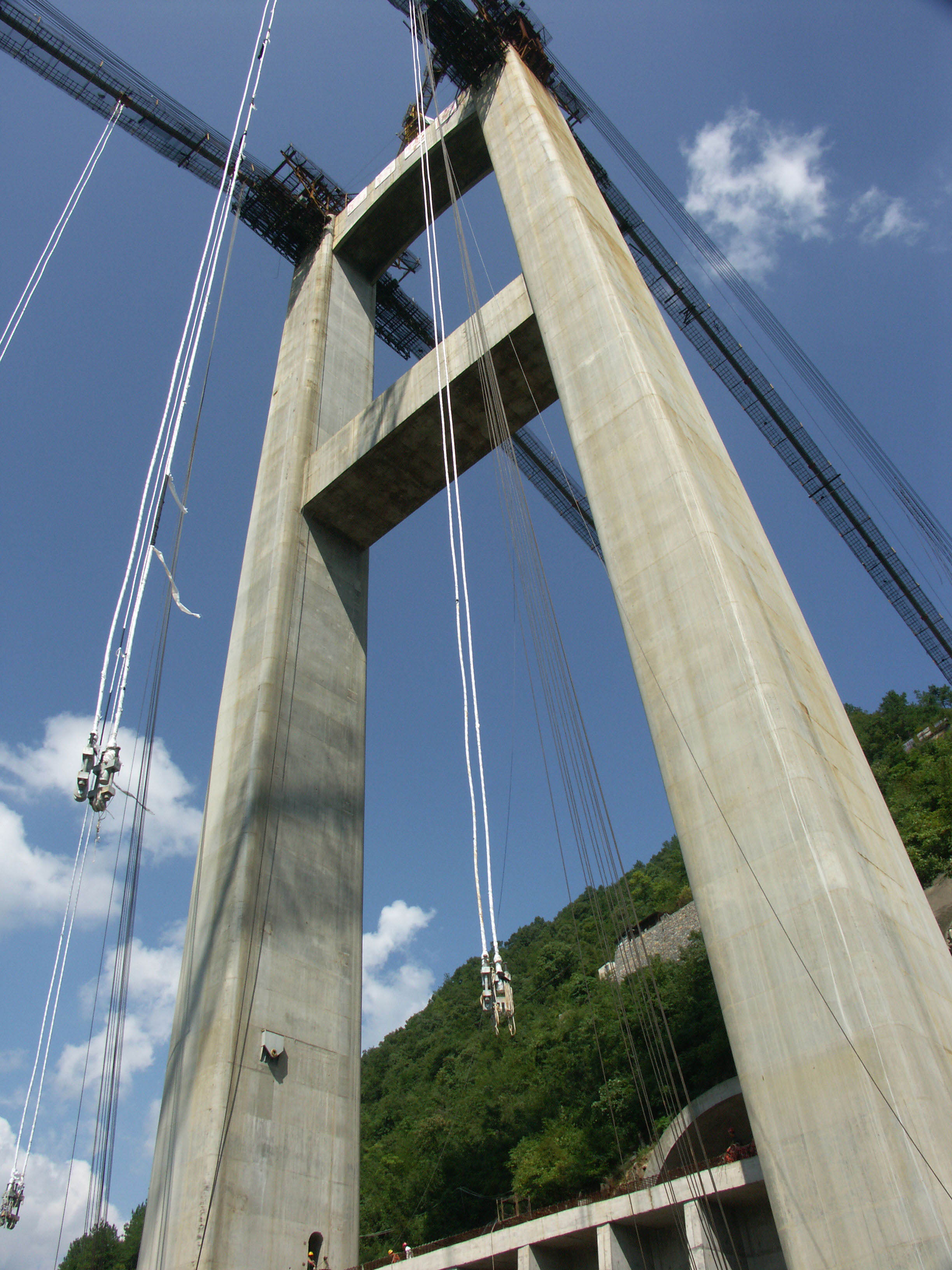
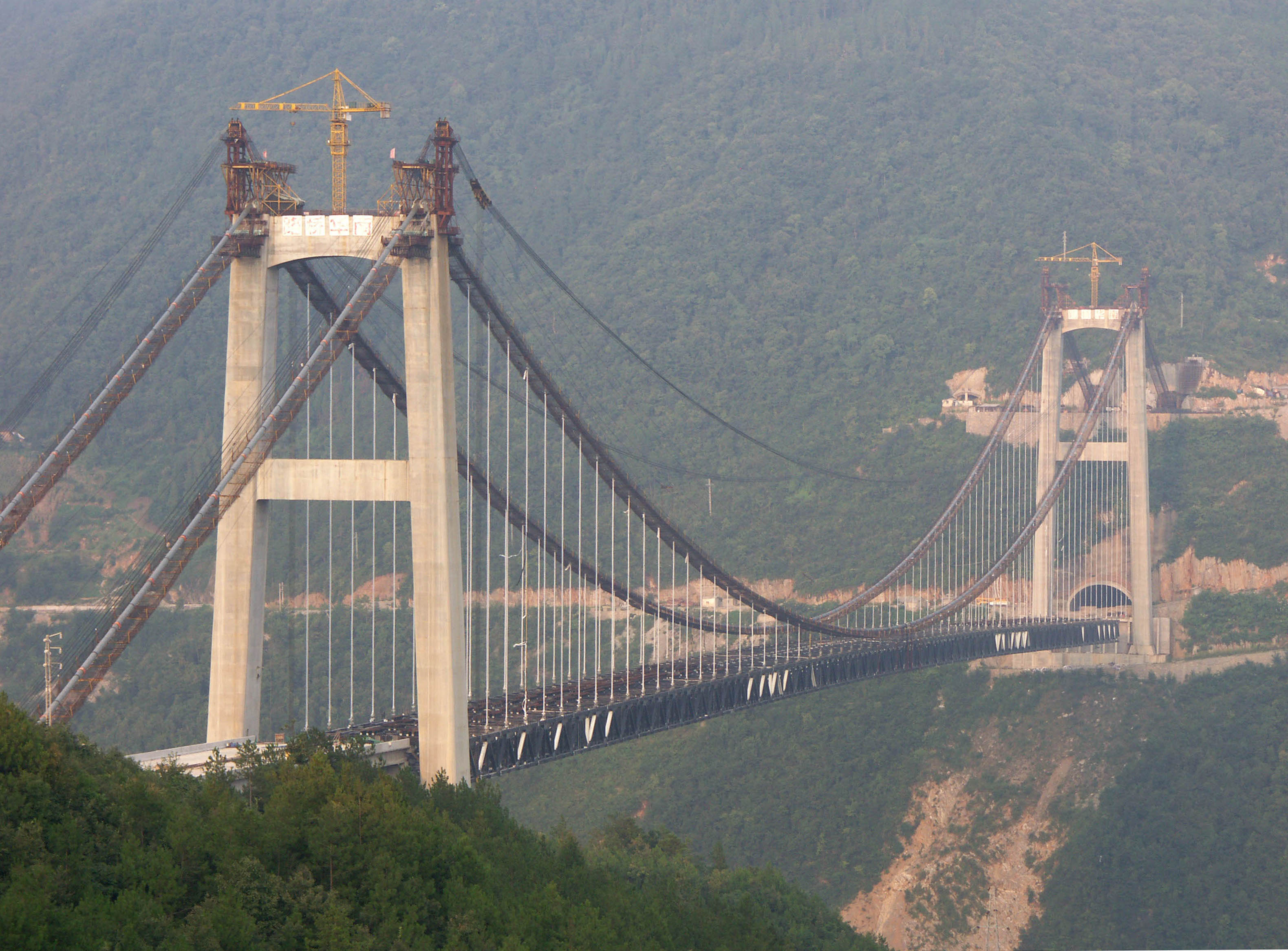
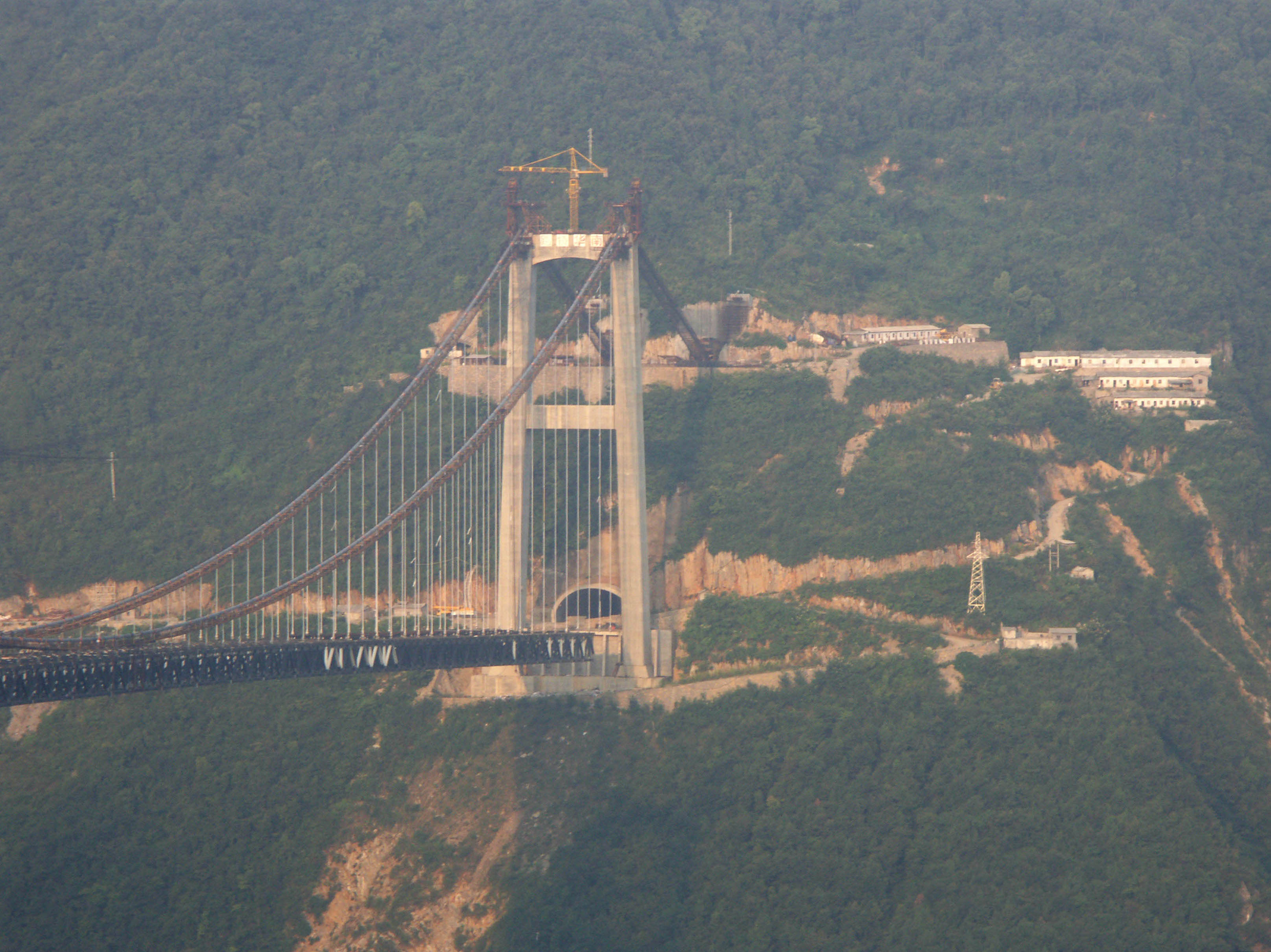
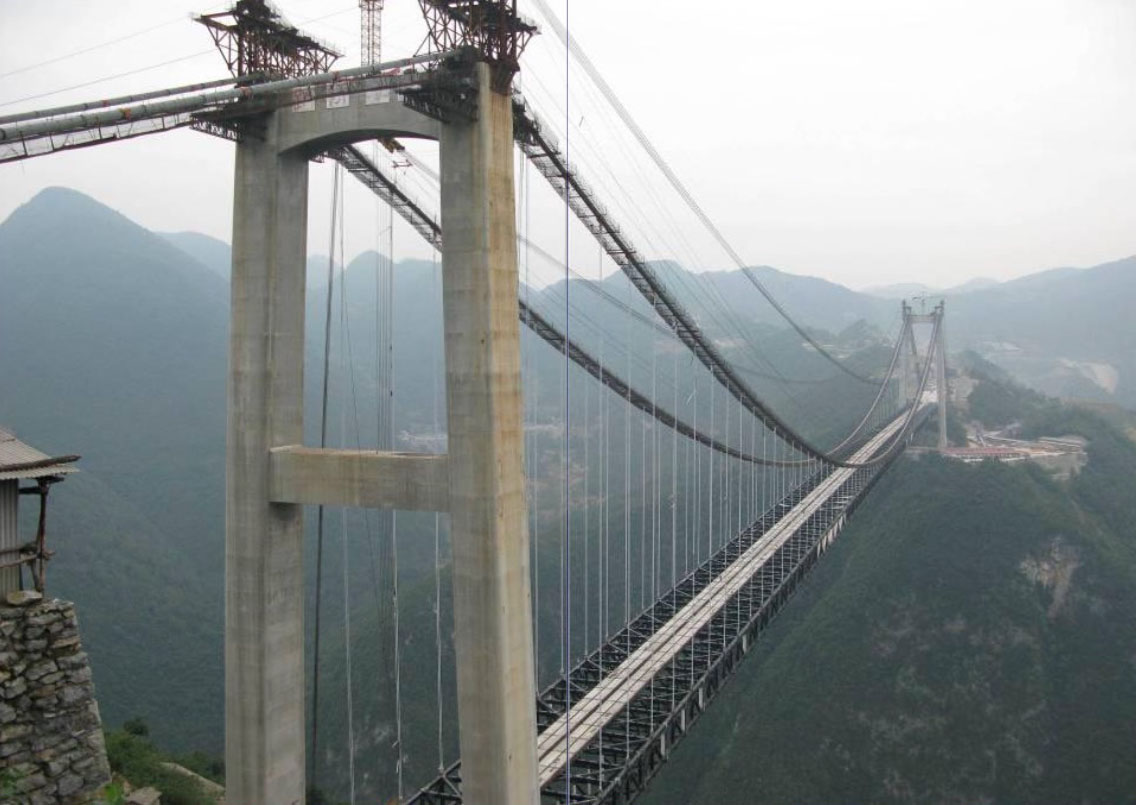
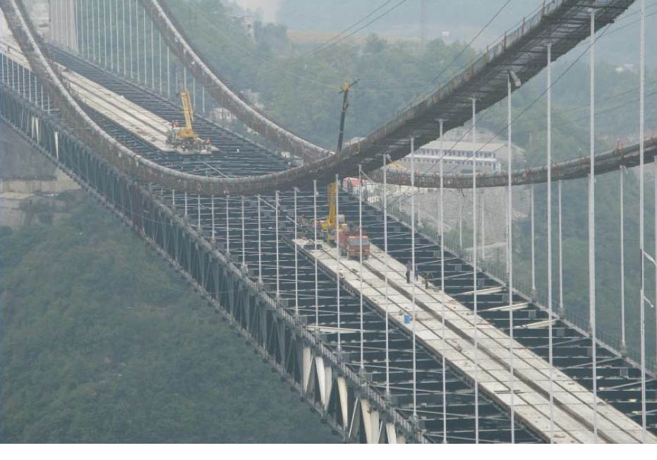
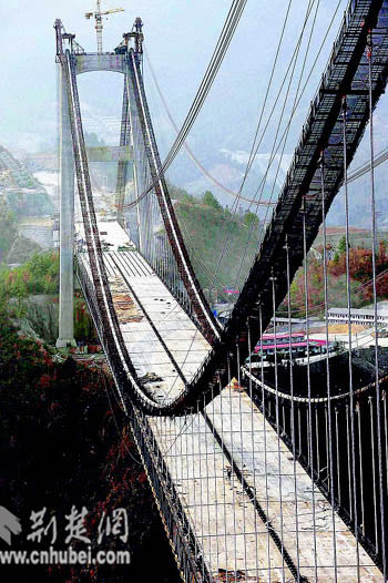
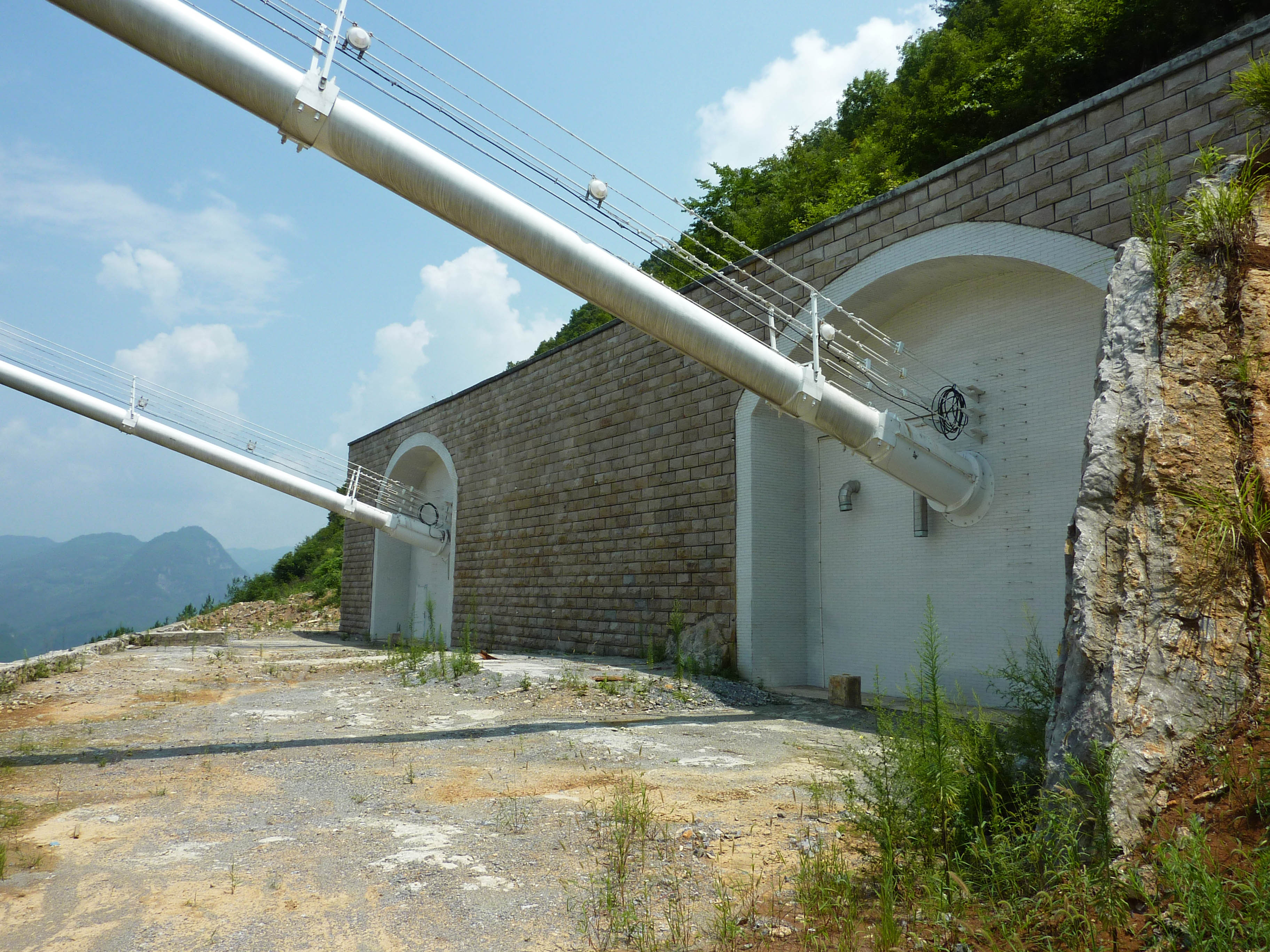
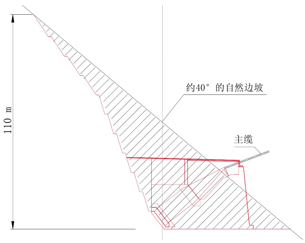
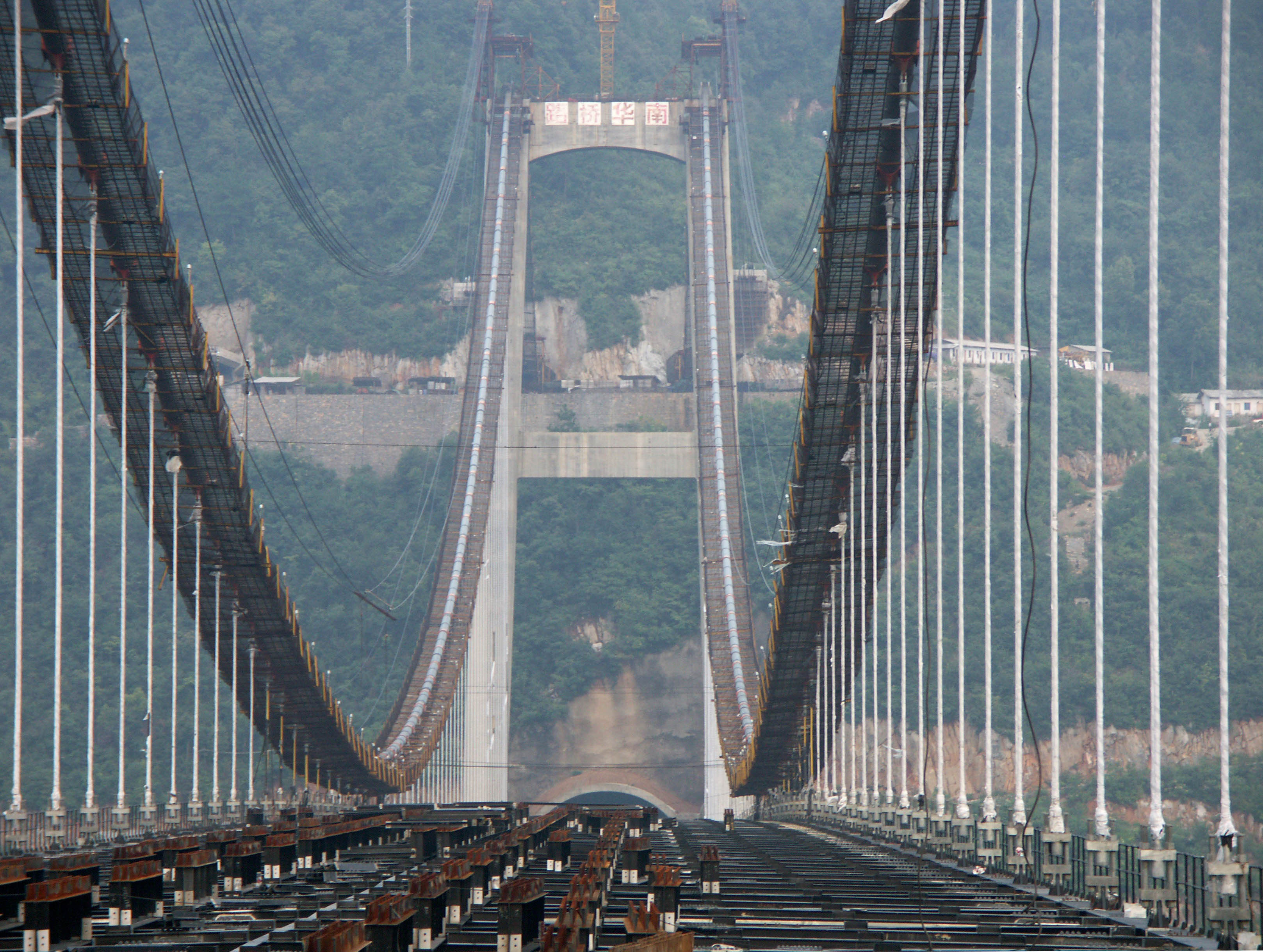
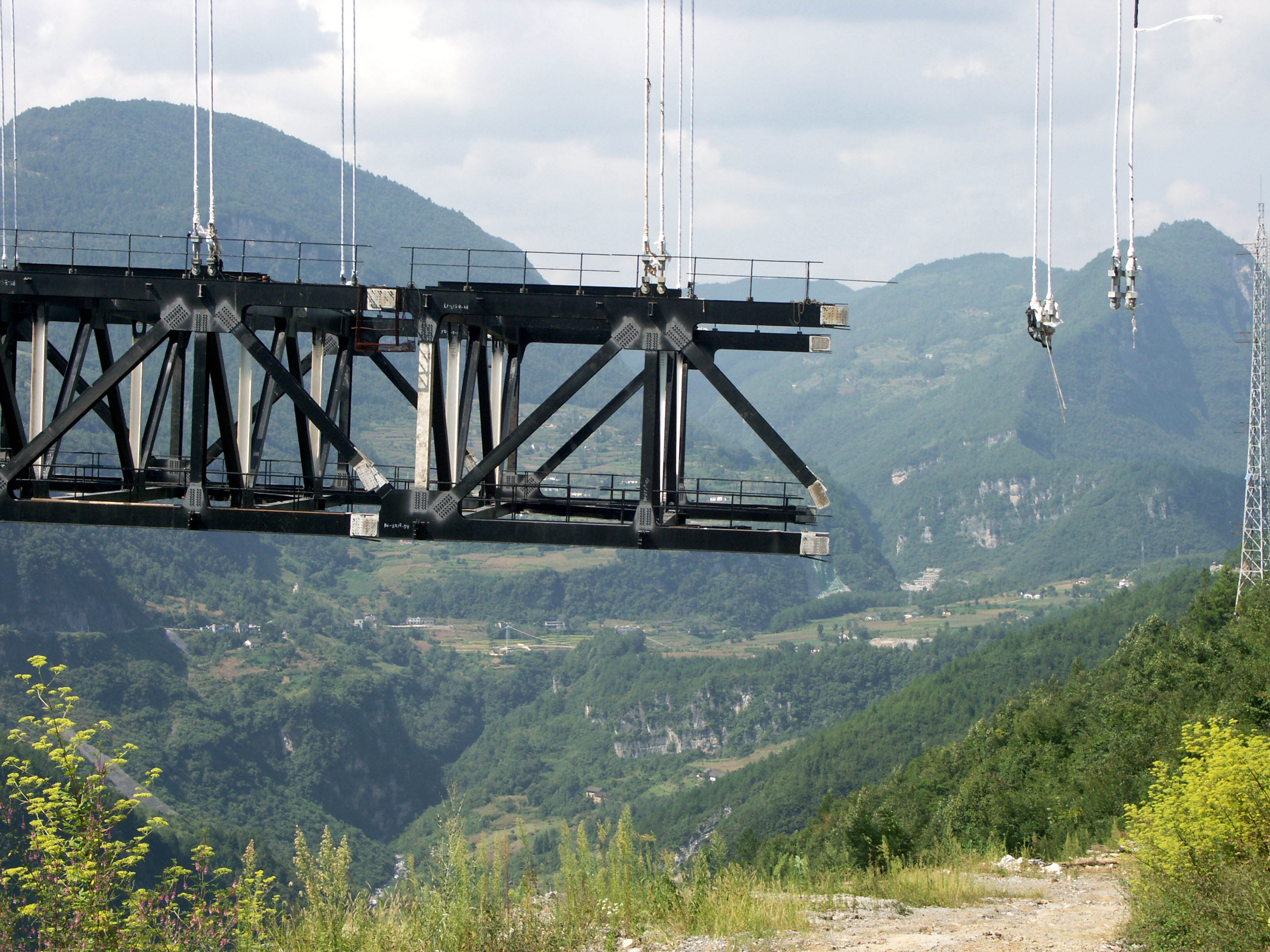
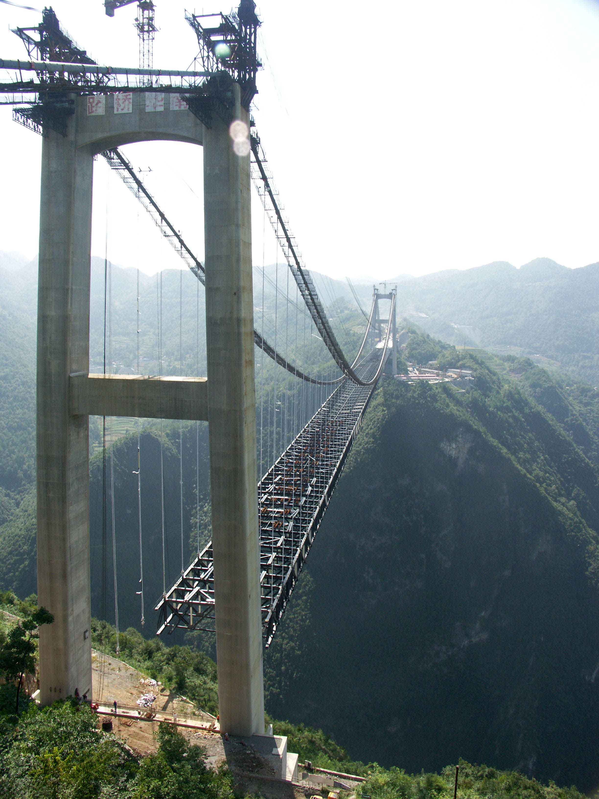
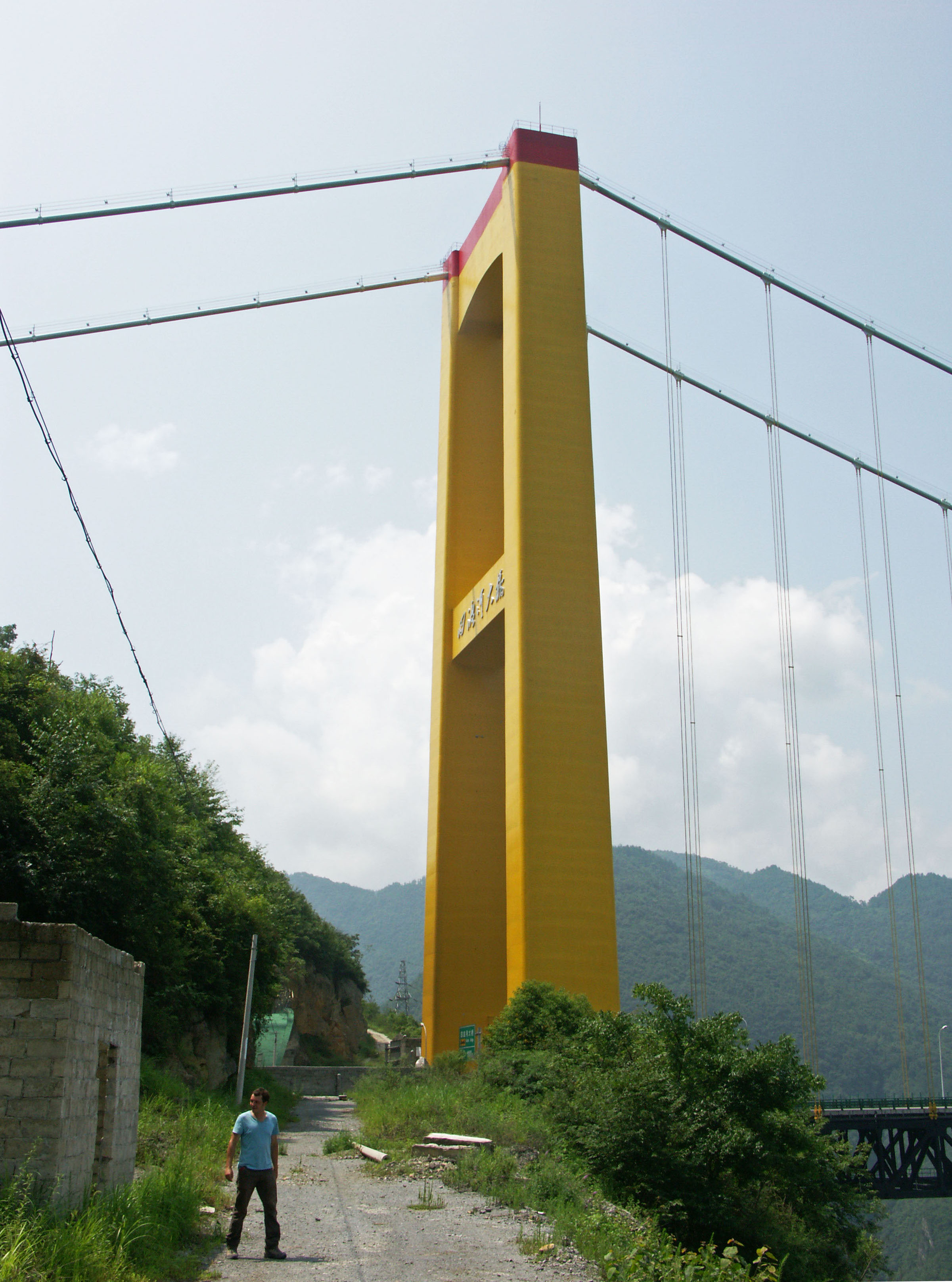
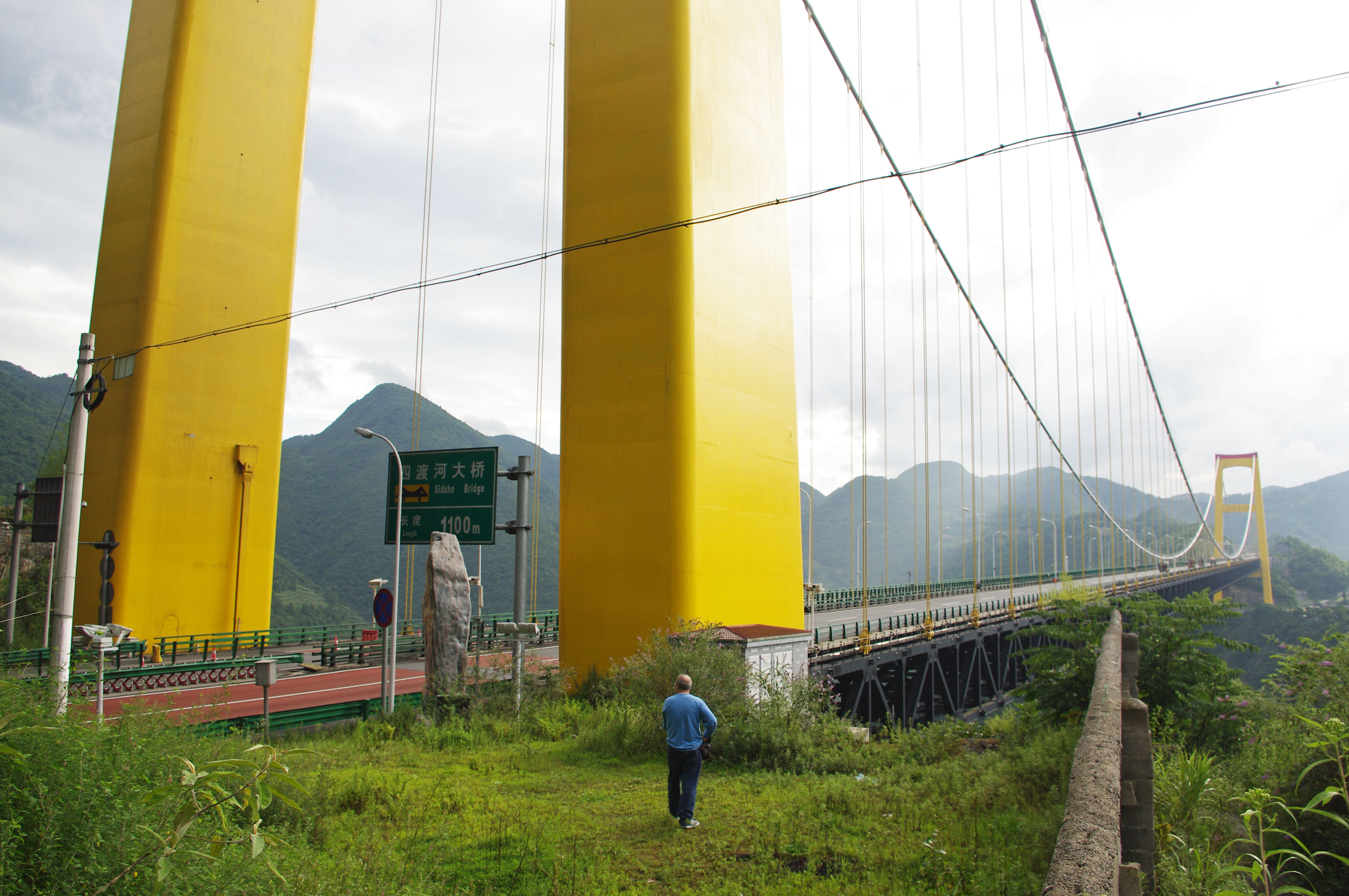
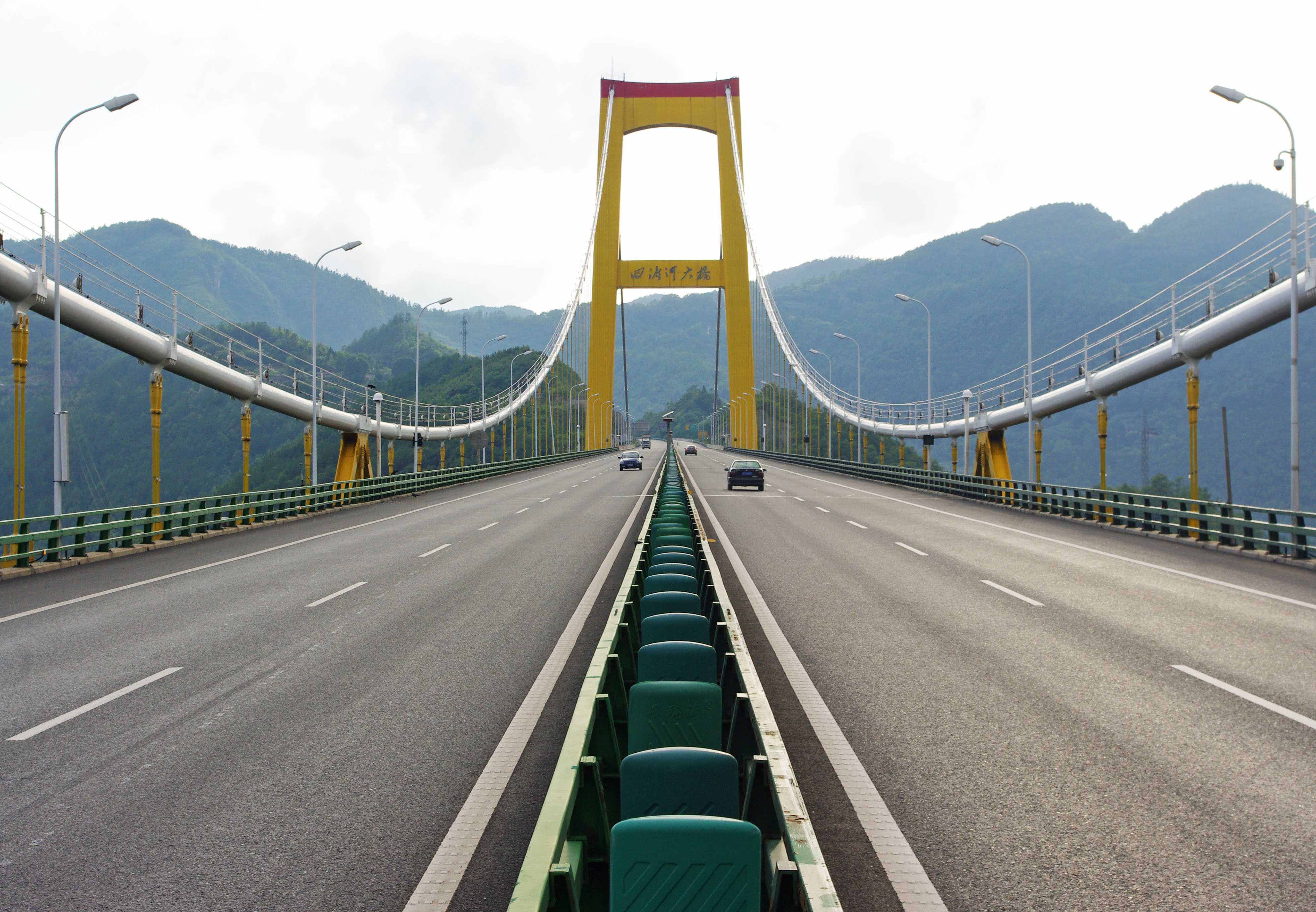
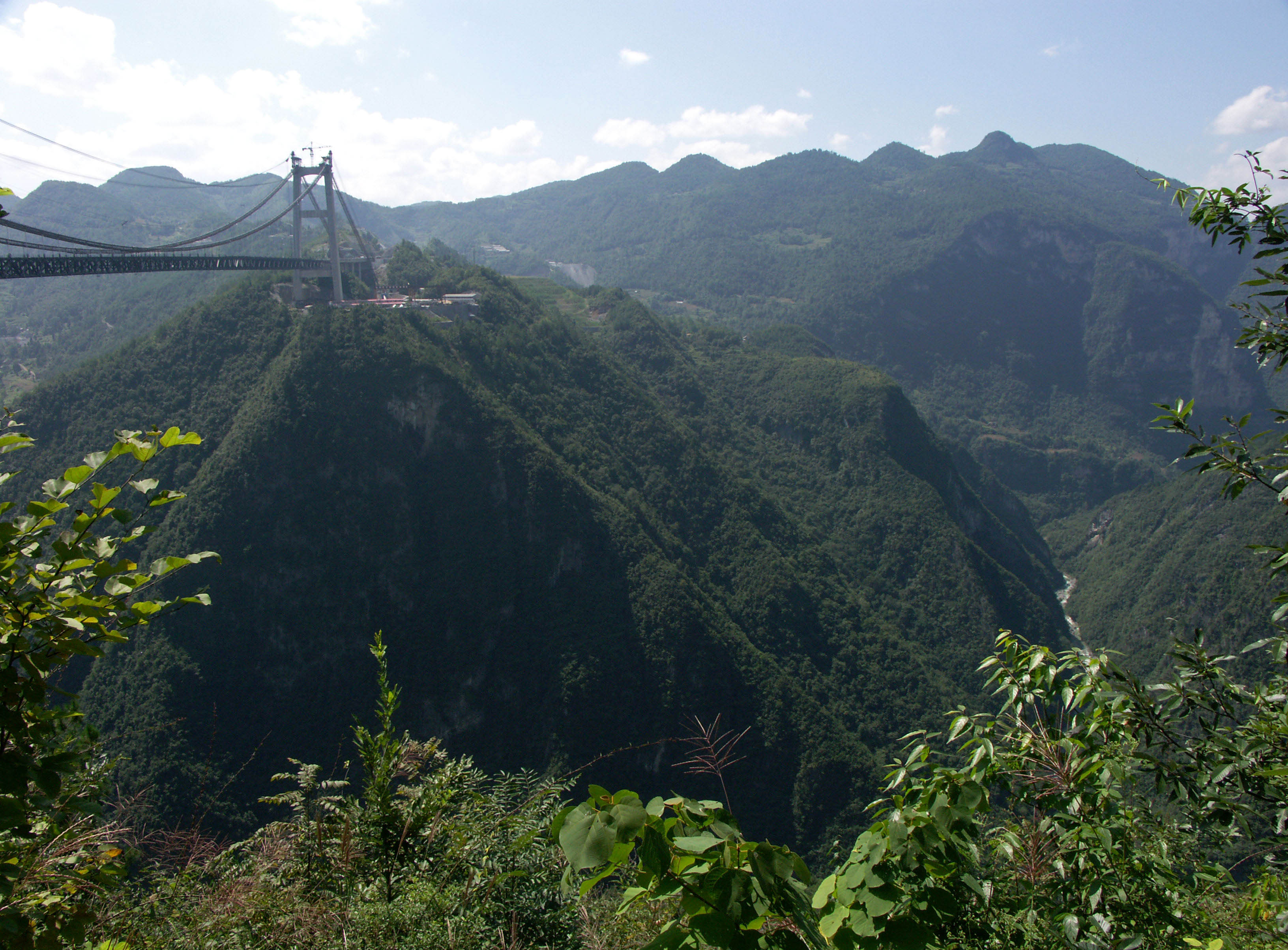
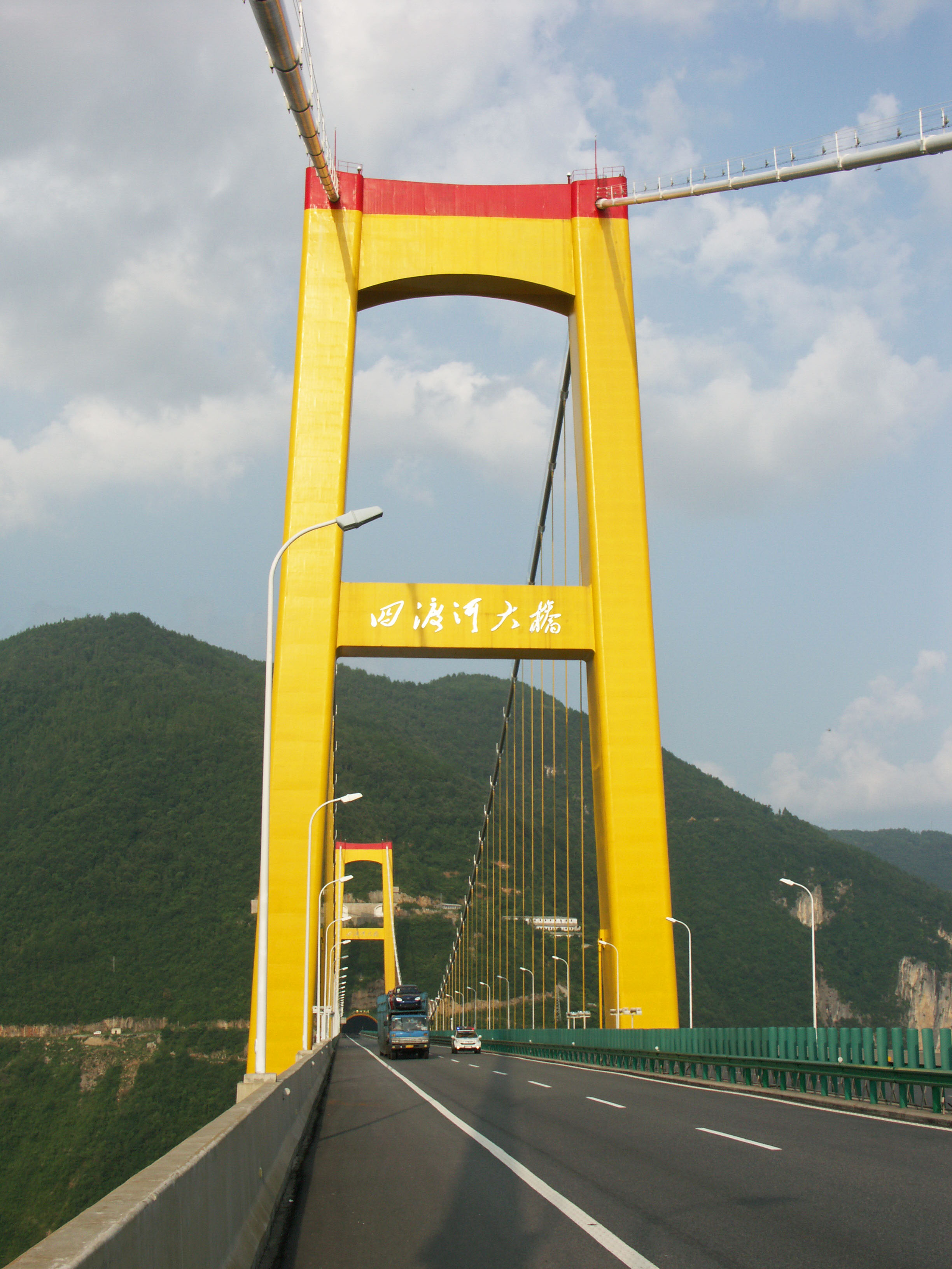
With a span of 900 meters / 2,952 feet, Siduhe bridge is a fairly typical long span Chinese suspension bridge with H-frame concrete towers, a truss stiffened road deck and unsuspended side spans. One aspect of its construction that was not so ordinary relates to its extreme height. Due to the remote, inaccessible river canyon, the engineers decided to experiment and instead of using a blimp or helicopter to drag the first pilot line across the gorge, they would use a rocket. Over 3,281 feet (1000 meter) of tether was attached to the back end of a 4 foot (1.5 mtr) long rocket and blasted across the deep river gorge. Also unusual is the termination of the east end bridge cables into a long tunnel foundation deep under the steep slope of the mountain.
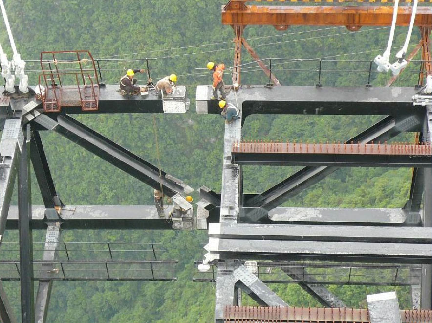
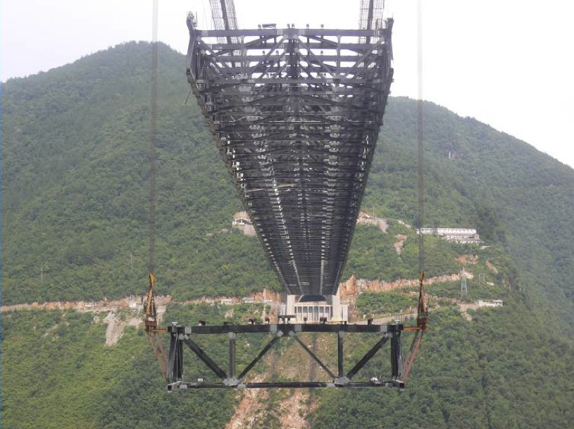
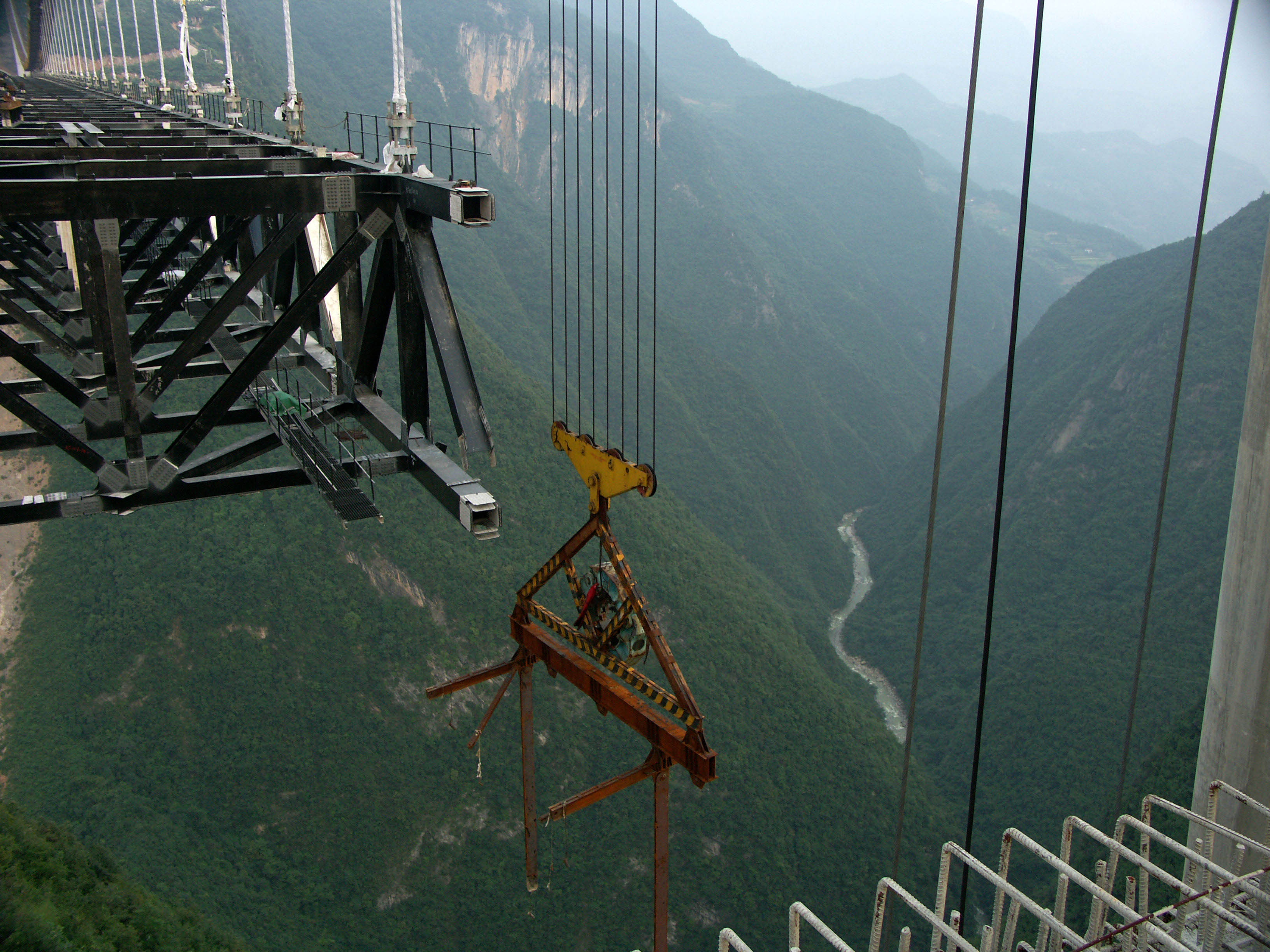
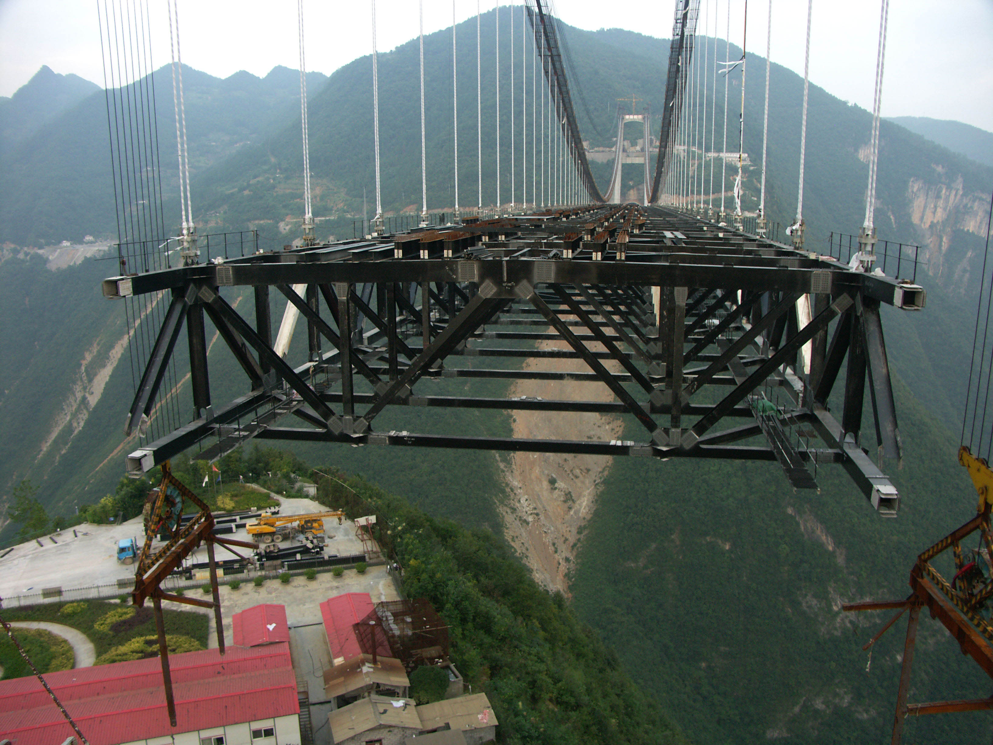
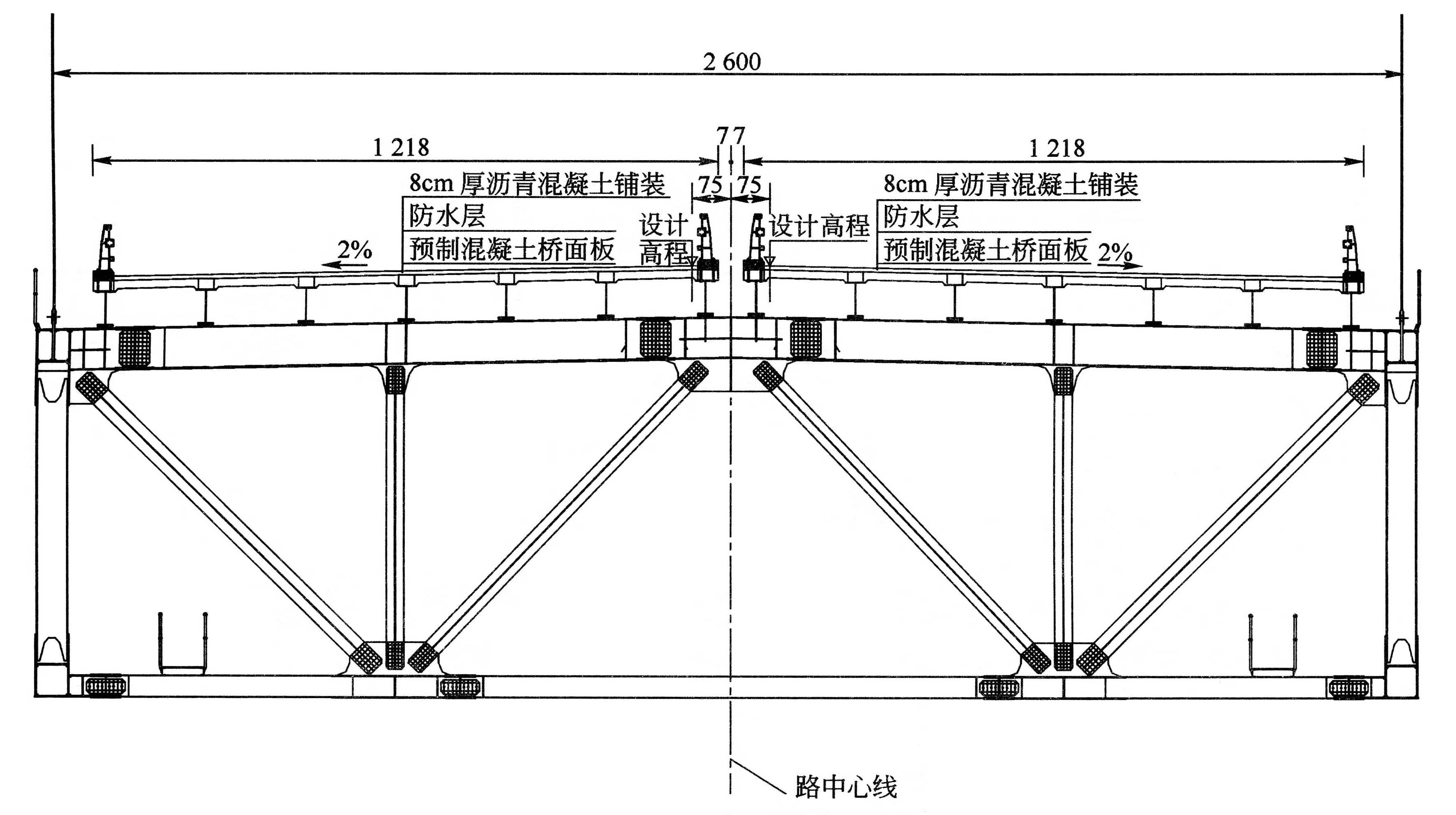
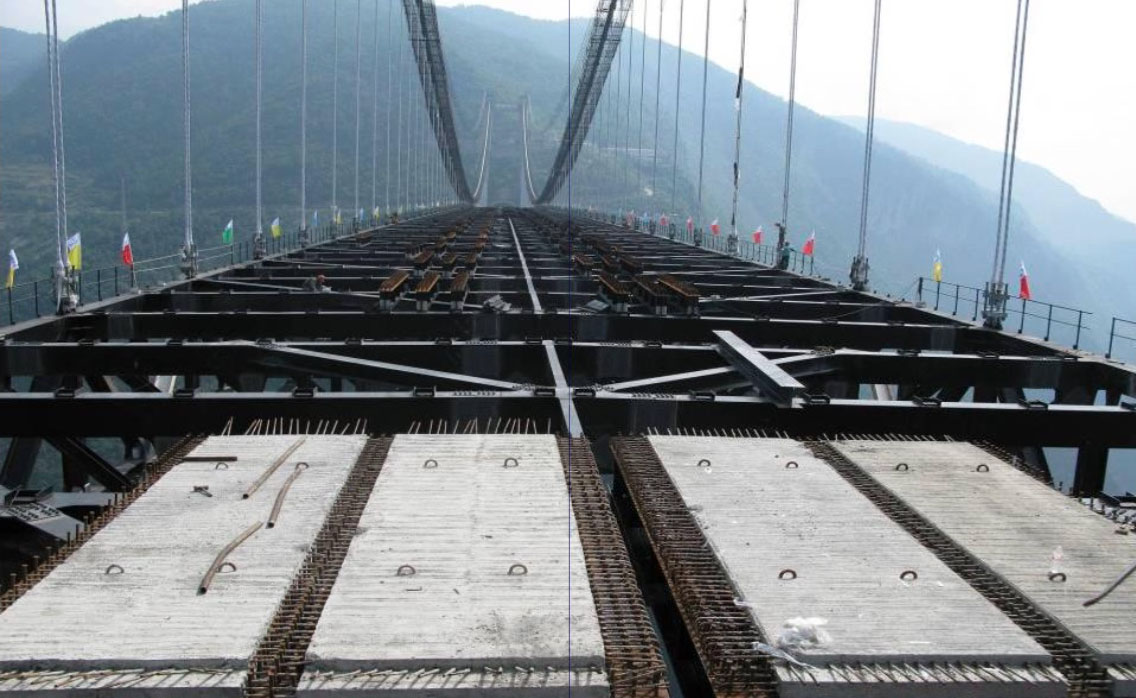
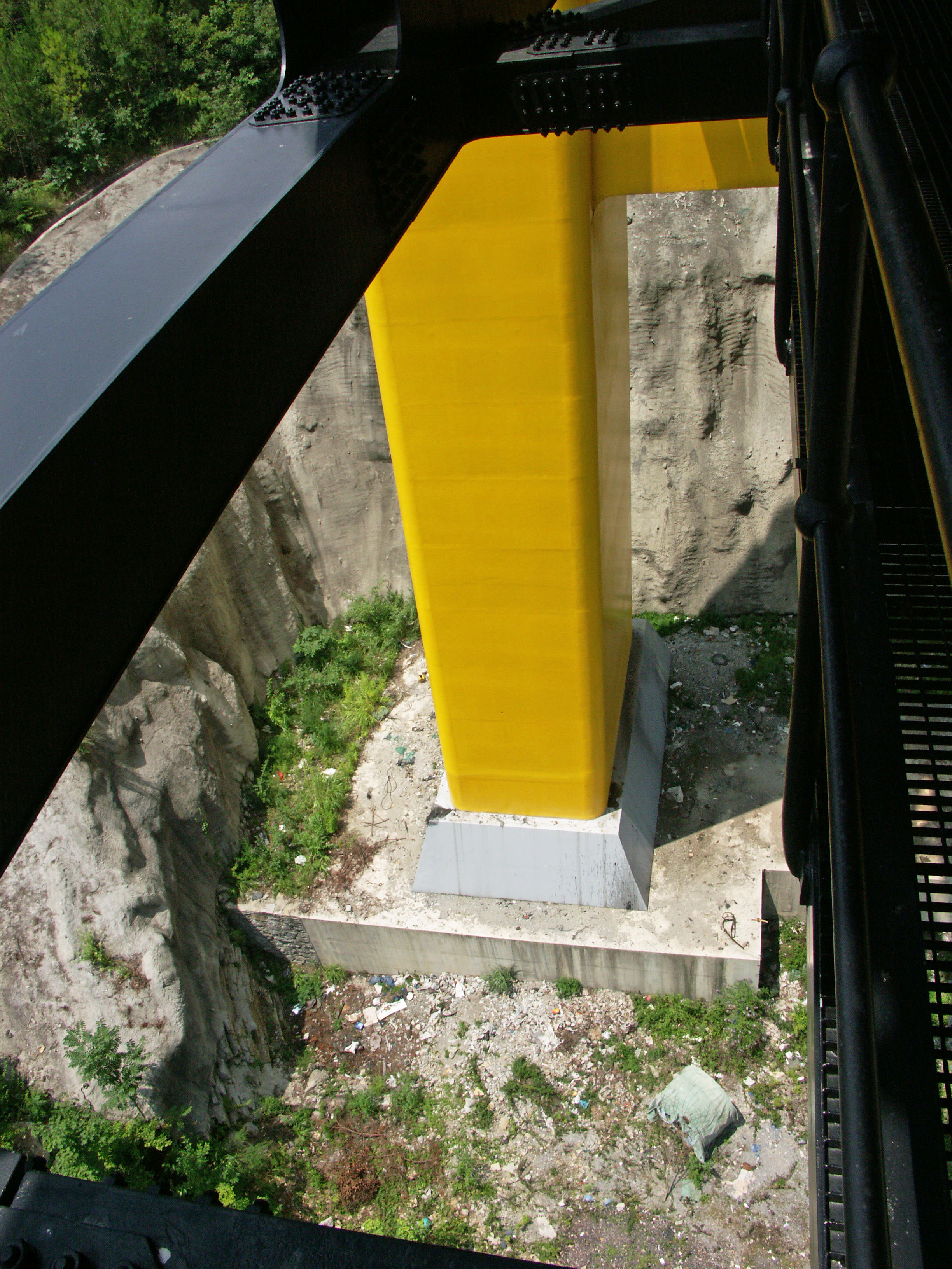
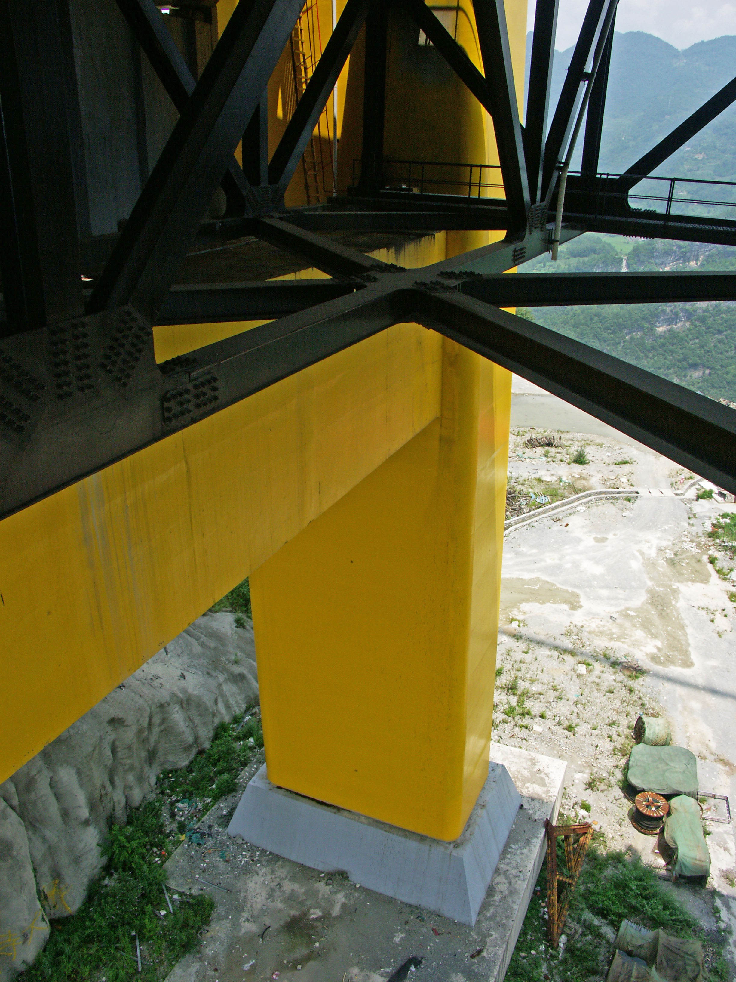
The Warren truss has a depth of 6.5 meters and a width of 26 meters. Each truss section measures 6.4 meters. The entire structure is supported by concrete towers 113.6 and 118.2 meters tall.
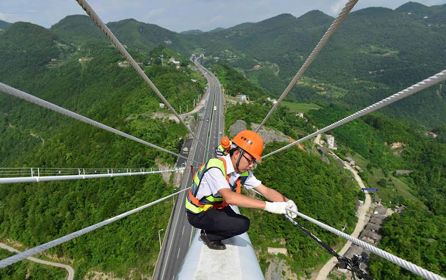
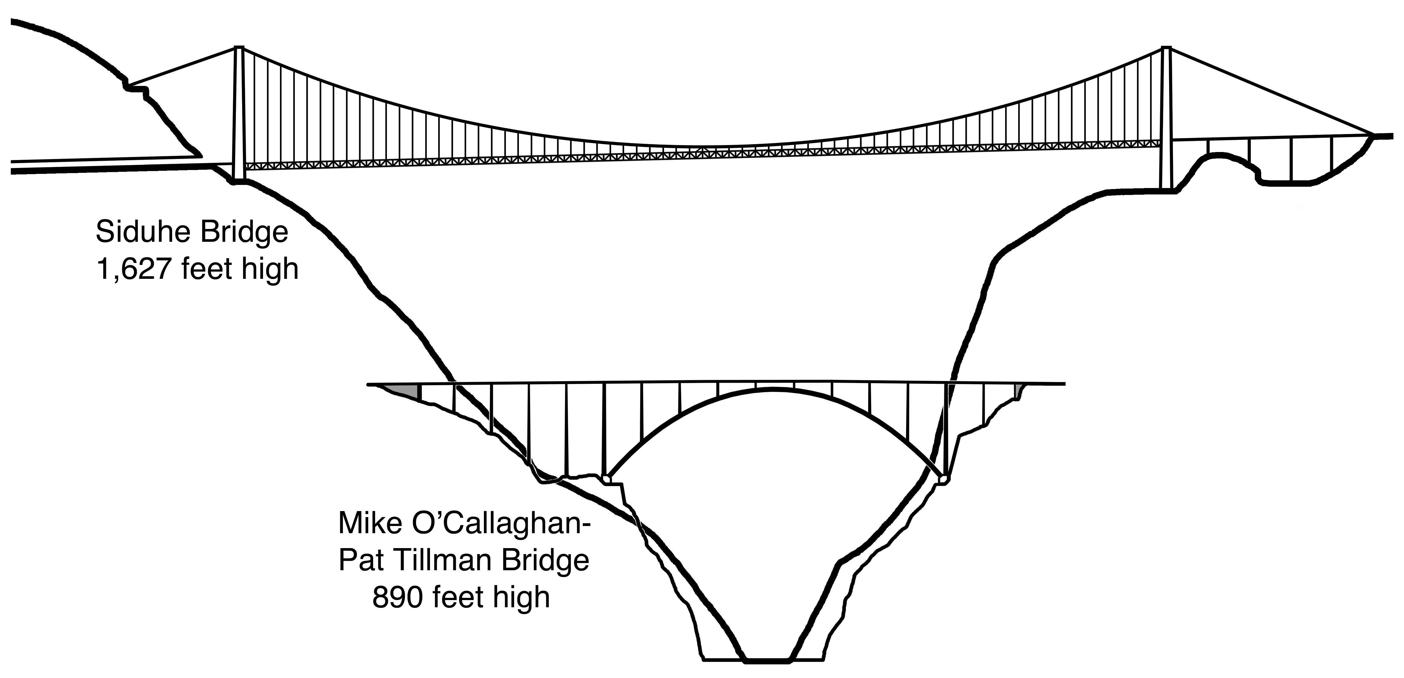
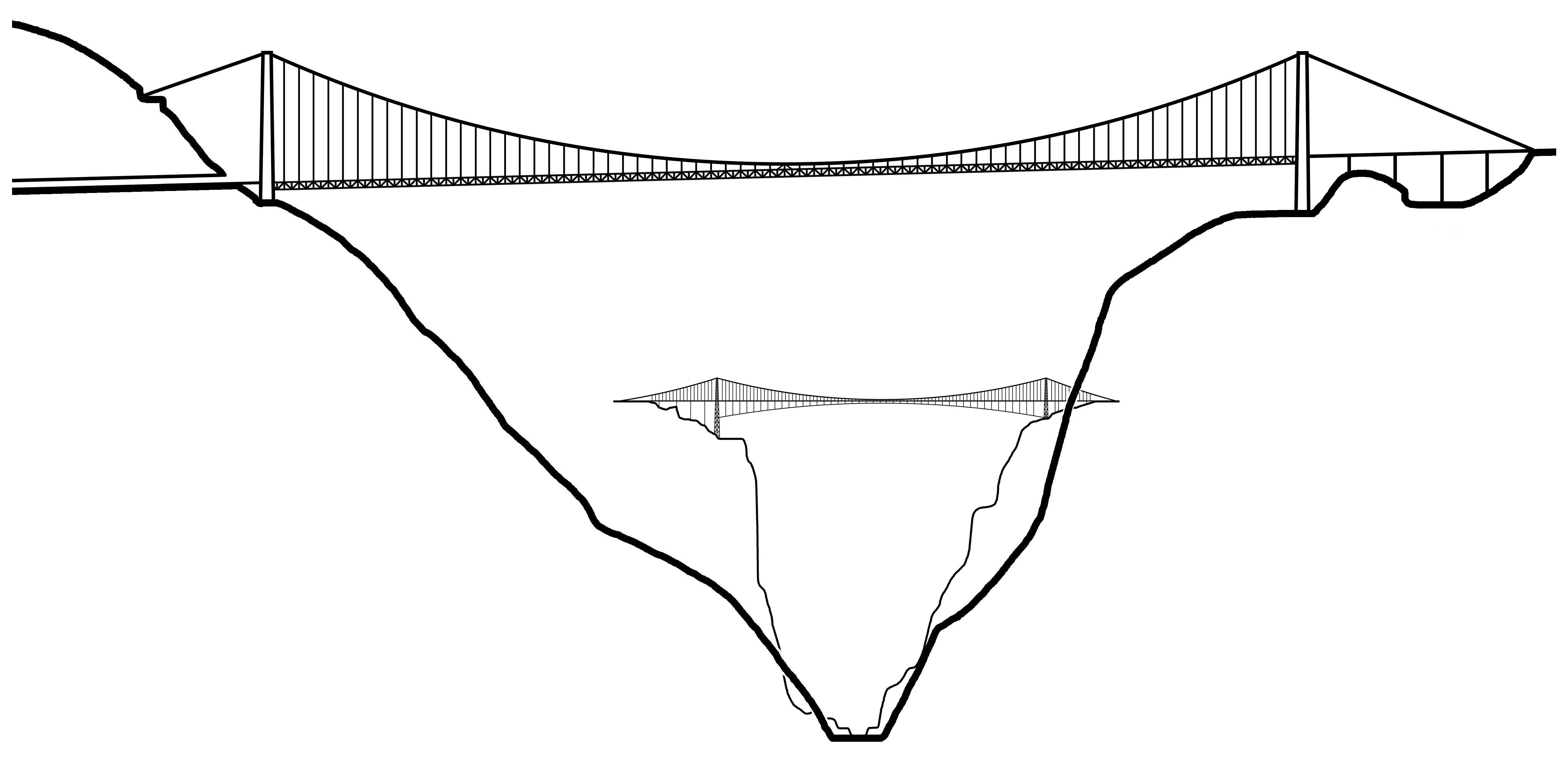
Siduhe is so high that its closest foreign rival in Mexico is over 100 meters lower. It is 672 feet (205 meters) higher than Colorado’s Royal Gorge bridge. The structure also has the unique distinction of being the first bridge in the world where a person falling from the deck can reach terminal velocity - the speed at which a falling object will no longer accelerate. With so many unprecedented superlatives, the Siduhe River bridge retained its world's highest suspension bridge status for 16 years before it was surpassed in 2025 by the Beipanjiang Huajiang Bridge in Guizhou Province.
Siduhe translates to Four Crossings River. “Si” means four while “du” means crossings and “he” means river. The name probably came from the Red Army’s famous Four Crossings of the Chishui River in Guizhou Province during Chairman Mao Tse Tung’s Long March in 1935.
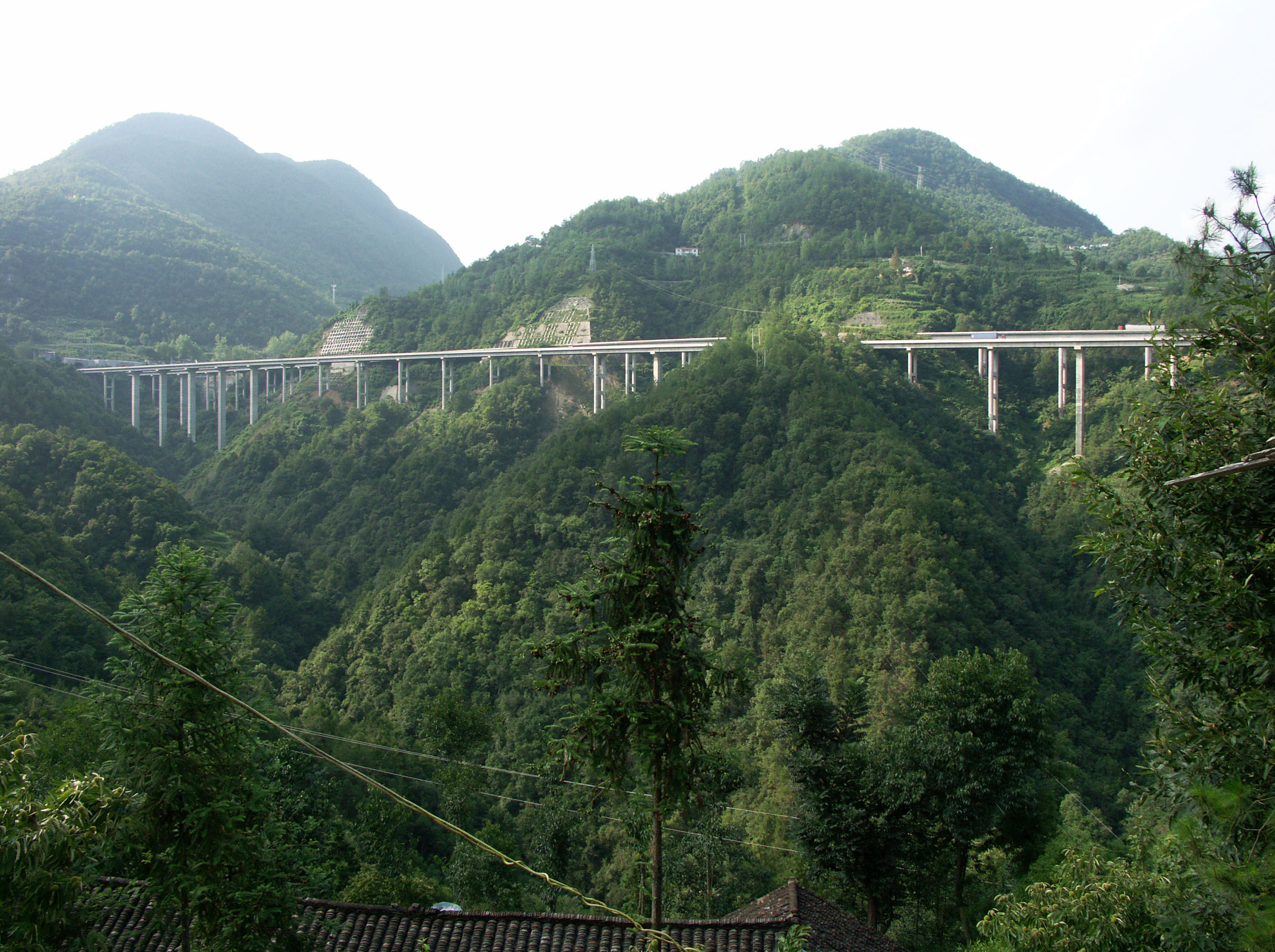
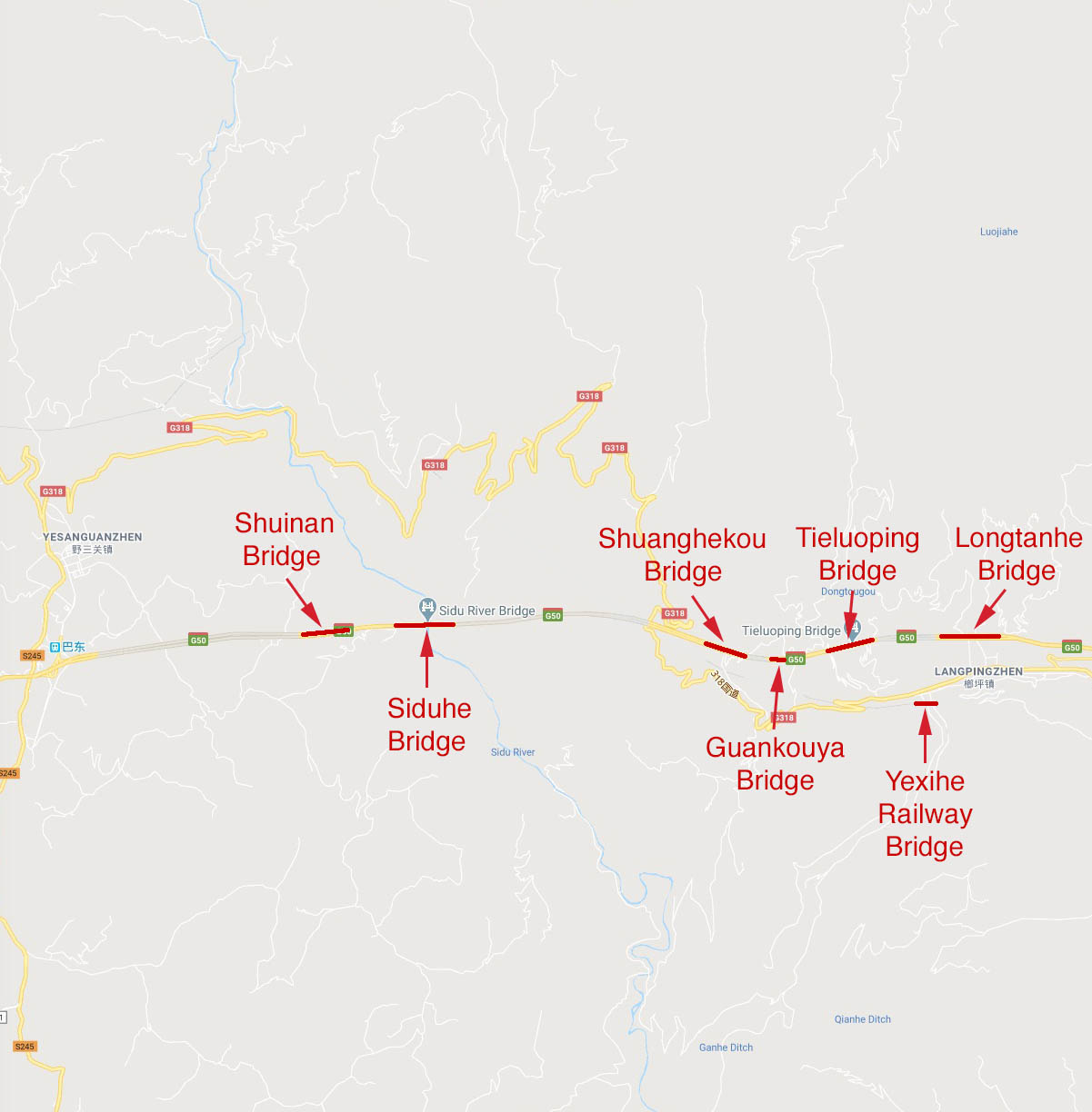
A trip along the G50 expressway to Siduhe bridge is a truly spectacular experience as you will be treated to an assortment of huge bridges of every size and variety. West of Siduhe there is the Zhijinghe bridge, the world’s highest roadway arch that soars 965 feet (294 meters) above the river gorge. East of the bridge there is the incredible parade of 200 meter high monsters including the Tieluoping cable stayed bridge, the Shuanghekou beam bridge and finally the Longtanhe viaduct - a multi span concrete beam bridge that is one of the world’s 20 largest and highest beam bridge viaducts.
桥面行车道高于桥下水面496米。高的四渡河大桥 是中国最新的摘取世界第一高度桥梁桂冠的悬索桥。2009年建成通车,该桥是中国十年内第三座成为“世界第一高度”的大桥,同时也映证了中国在如此短的时间内交通基础设施建设的速度和进展。位于中国湖北山区的著名的长江三峡库区以南大约50英里(80公里)处,四渡河大桥仅仅是连接太平洋西岸的上海与内陆城市重庆成都之间的1350英里(2175公里)长的后300英里(483公里)的沪蓉西高速路段上的诸多高耸桥梁之一。
中国诸多高桥中的8座最高的都是在2000年之后建成,而且基本上都分布在地处西部的贵州、湖北和重庆三地。这8座桥高度都超过了275米而且都跻身世界前12高度的大桥之列,其中四座还保持者世界上最高的公路或者铁路桥梁的记录。更令人惊叹的是,其中6座都比1929年至2001年之间一直的世界第一高度的科罗拉多州皇家峡谷大桥更高。
说到第一高度的大桥也是位于世界最大桥梁“高耸之路”上,这也是唯一一条合适的高速公路。经由三峡库区,从东部的宜昌开始直到西部的忠县全长300英里(483公里)长,这条4车道的工程师们造就的奇迹之路,有着6座高度超过150米的大桥,其中就有行车道高度位于世界第一的拱桥支井河大桥。这条更为直接的路线将与原先一条极为艰险、崎岖的长江流域的山区的一条公路线相并行。而原先需要一天的山区危险的车程或者长江上的航行,现在都能在5个小时之内实现。这条交通动脉的成功之处还在于其上建设了大量的隧道,穿山越岭打通了一道道阻隔道路的高耸的山峰。其中令人印象更为深刻的隧道之一,就是通往四渡河大桥一端的隧道了,它引导出的是世界最壮观的一座大桥。
主跨900米,四渡河大桥采用的是在中国相对典型的大跨度悬索桥的结构形式,H型刚构混凝土桥塔,加劲桁架桥面,无吊杆边跨。它的建设中非比寻常的一点是与其超级高度有关。由于地处偏远,采用直升机牵引先导索跨越两座主塔塔顶索鞍不太高效。于是,中国工程师们充分利用了他们在火药技术方面的专长,把1000米长的先导索固定到一枚1.5米长的火箭之上,然后火箭发射后就牵引着缆索飞跃过大峡谷。另一个不寻常之处是大桥东侧端点,主缆索深锚固在大山陡坡的隧道式锚固基础中。
四渡河大桥是如此之高,以致地处墨西哥的最大的竞争对手比它高度低了近100米。四渡河大桥比科罗拉多州皇家峡谷大桥高出205米。这座大桥的另一个唯一突出特点是,世界上唯一一座高桥——如果一个人从该桥桥面跳下,能够到达在自由落体情况下在空气中不再加速的终极速度。拥有者如此之多的前所未有的至高荣誉,四渡河大桥在未来数十年之内都不会失去其崇高的世界纪录了。
四渡河,直接翻译的话就是“四次渡过大河”。“四”意思是“四次”而“渡”则为“渡过”,“河”是指“河流”。在1934年的长征途中,共产党领袖毛泽东率领的工农红军在被国民党领导人蒋介石所部追击,红军为了摆脱国名党军的围追堵截,而采用的一次决定性的运动战战役,后以其四渡赤水而闻名。
参观四渡河大桥的旅行将会是一件真正十分特别的游程,你将能从不同位置和角度观看到这座雄伟的大桥的各种姿态。在四渡河大桥以西不远处就是支井河大桥,世界上桥面行车道高度之最的拱桥,该桥桥面令人难以置信的高架在河谷之上294米处。在四渡河大桥以东是另一座令人惊叹的200米高的大桥队伍——铁罗坪斜拉桥,双河口梁桥,然后是龙潭河高架桥——超越了德国科赫塔尔大桥称为世界上最大的和最高的多跨连续梁结构的高架桥梁。(法国米约大桥仍然是世界第一高度的高架桥。)
四渡河大桥标志着历史上第二次出现了世界上一个国家同时拥有三座最高的公路或铁路桥梁。第一次是在1884年的法国,拥有夏尔莱·阿尔贝特悬索桥、古斯塔夫·埃菲尔设计的嘎拉比特大桥和波特·夏特莱特大桥,均比世界上其他任何一座桥高。现在,在中国,坝陵河大桥和北盘江大桥(2009)两座悬索桥,与四渡河一起组成了新的中国的“三巨头”。这一纪录也只将保持到在将到来的2012年,届时墨西哥将建成的岑特纳里奥/巴鲁阿特桥就会越过坝陵河大桥称为世界第二高度的公路大桥。
四渡河大桥是有史以来称得上“世界第一高度”的11座大桥之一。第一座是著名的法国南部城市尼姆附近的加尔河桥,是用石头建成的引水桥,大约在公元前90年建成的这个古罗马宏伟建筑,有着高达49米高的三层连拱结构。200多年之后,西班牙卡塞雷斯省西部的塔霍河之上50米高处建起的有着5个半圆形拱的阿尔卡特拉大桥成为新的最高。意大利斯波莱托的托里大桥以82米的高度超过了西班牙阿尔卡特拉大桥,而这座引水石桥的确切建成年代已经不详,可能在13 到14世纪建成。西班牙在几个世纪之后,再次夺回了世界第一高的记录,在西班牙的小镇隆达,98米高的新隆达河大桥跨越在一道深谷之上。它将成为世界最后一座曾经成为世界第一高度的圬工拱桥。
19世纪早期,悬索桥成为了跨度超过60米的结构形式。1839年,法国工程师E. 贝林不得选择悬索桥来跨越位于法国的罗纳-阿尔卑斯山区的147米深的乌赛斯河深谷。以皮德蒙特的国王夏尔莱-阿尔贝特命名,这座200米长的大桥也被称作凯勒大桥。这座法国悬索桥在欧洲保存了73年的记录,然后就被更高的一座悬索桥代替了,这座桥跨越的是北非阿尔及利亚的康斯坦丁城的古迈勒河谷。大桥由著名的法国桥梁工程师费迪南德·阿尔诺丁设计,这座悬索桥/斜拉桥组合桥梁连接着两侧悬崖,高耸在水面以上175米高处。1929年高度记录几乎被美国科罗拉多州的皇家峡谷悬索桥翻了一倍,桥面板在阿肯色河之上291米高。这座著名的旅游景点使得该桥称为世界上闻名遐迩的第一高度桥梁,并且被吉尼斯记录大全收录长达40多年时间。
皇家峡谷大桥占据了极顶长达72年之久,直到2001年世界最高桥梁的桂冠才来到了中国的西部,而且这一纪录很可能还将再保持一定时间。坐落在贵州省会贵阳市西北方向的六广河大桥,297米高的预应力混凝土连续梁桥,成为了中国境内的接连更迭的获得“世界第一高度桥梁”的三座桥梁之第一座。六广河大桥也仍将保持史上第一座由非悬索桥或者石拱桥形式的桥梁结构来创造的打破世界高桥记录的大桥。就在两年之后,第一宝座的皇冠又转移到了贵州省另一座大桥之上,北盘江大桥(2003),一座2车道的高高架在北盘江之上366米高处的悬索桥。
2005年,在巴布亚新几内亚的一个不寻常的输油管线悬索桥成为了史上第十座摘取世界高度记录的结构,凭借的正是其393米的高度。最终,2009年,随着四渡河大桥的通车,这一纪录又再次回到中国。
中国的公路和桥梁建设的爆炸性发展是在1989年开始“国道主干线系统”五纵七横的建设,总厂22000英里(35000公里)。规划为三个发展阶段,从1985年到2005年的第二阶段提前十年就完成了,使得全部的大规模基础设计建设能在2009年年内基本结束。这一系统的目标就是为了实现起全国90%的50万人口以上城市和所有百万人口以上的大城市间的联系。在这个20年的发展时期,中国公路桥梁的总数增长了一倍多。
在国道主干线系统之外,还有进一步国家高等级公路网的建设,包括七个独立的干线,称为“7918”。7是指的以北京为中心向外辐射的数条独立线路,至于其他的数字是指,9条南北线、18条东西线。这些较短的公路线的很多条都将用来联系人口超过20万的城市。目前这一系统仍然还有25000英里(40000公里)多的部分没有建成,在未来的2020年完全建成之后,将会有很多高桥存在的公路值得期待。如果中国的经济在2020年之后仍然持续增长,届时将会有另外的56000英里(9000公里)的高等级公路可能会建设,把全国的总公路里程数提高到109000英里(175000公里)这些高等级公路都设有收费站。如果你想了解更多关于中国的高速发展的公路网的建设,去维基百科看看中国高速公路的主页看看吧:
Image by bbs.enshi.cn
Image by bbs.enshi.cn
Image by Eric Sakowski / HighestBridges.com
Image by Eric Sakowski / HighestBridges.com
Image by Eric Sakowski / HighestBridges.com
Image by Eric Sakowski / HighestBridges.com
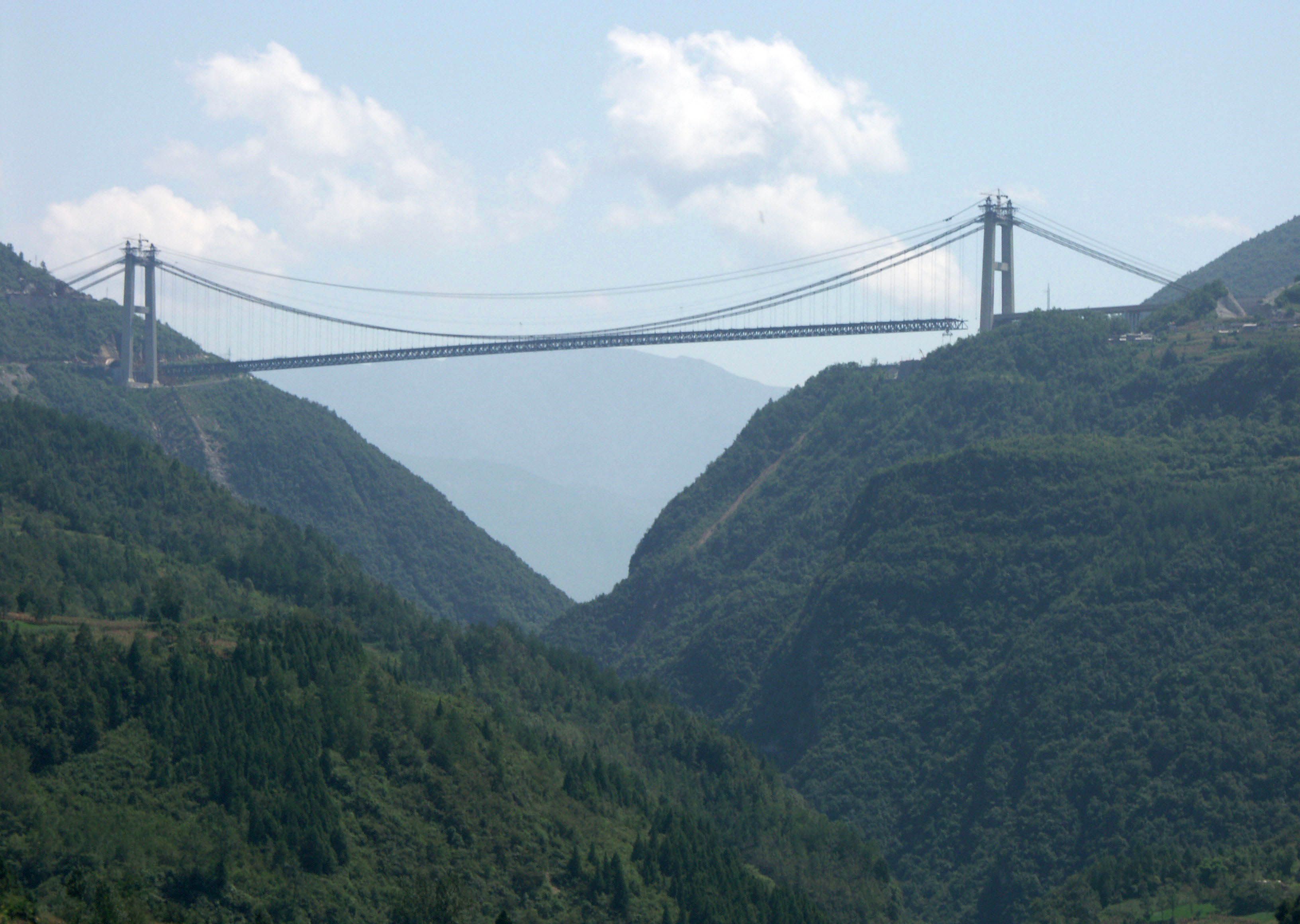
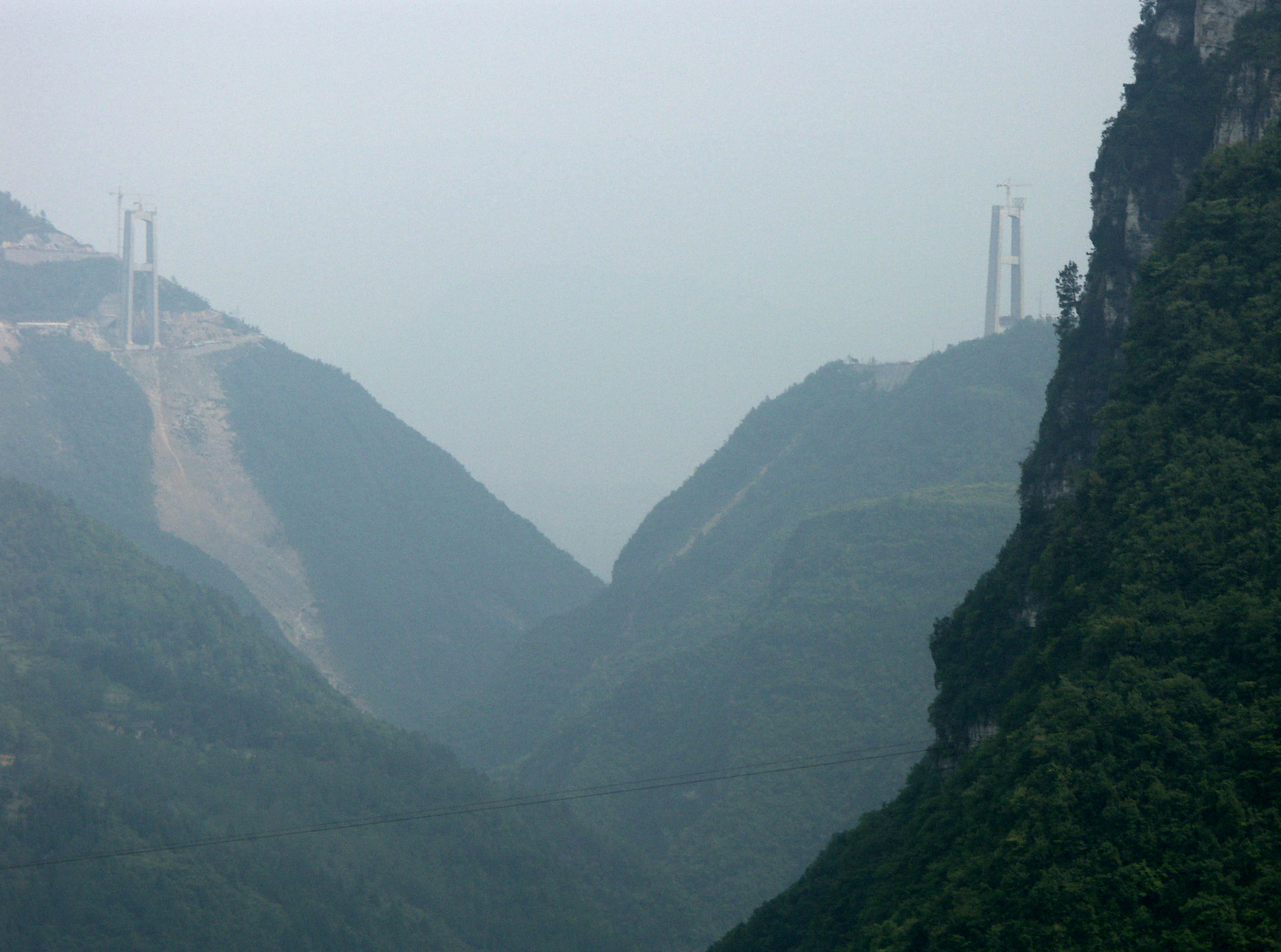
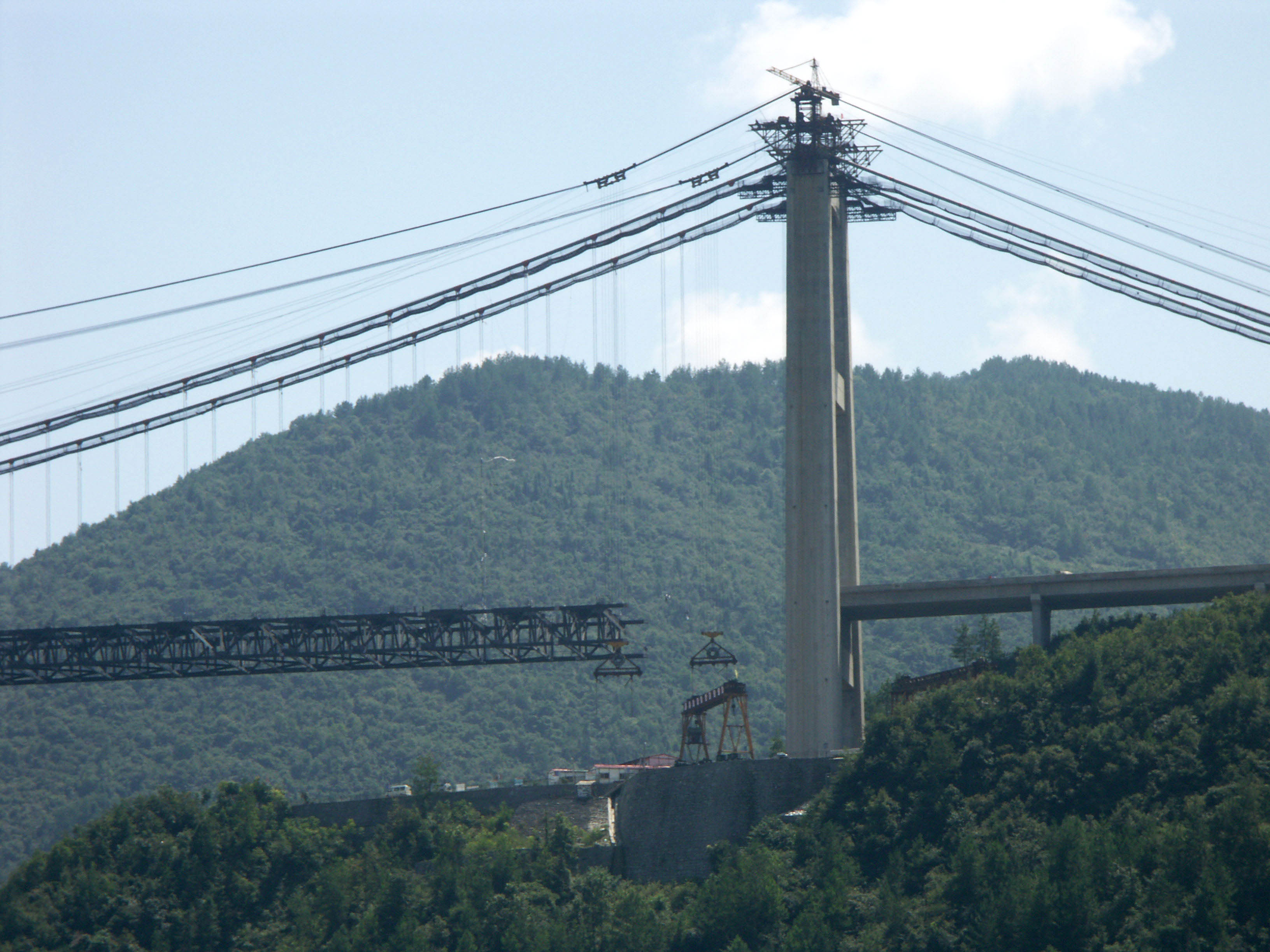
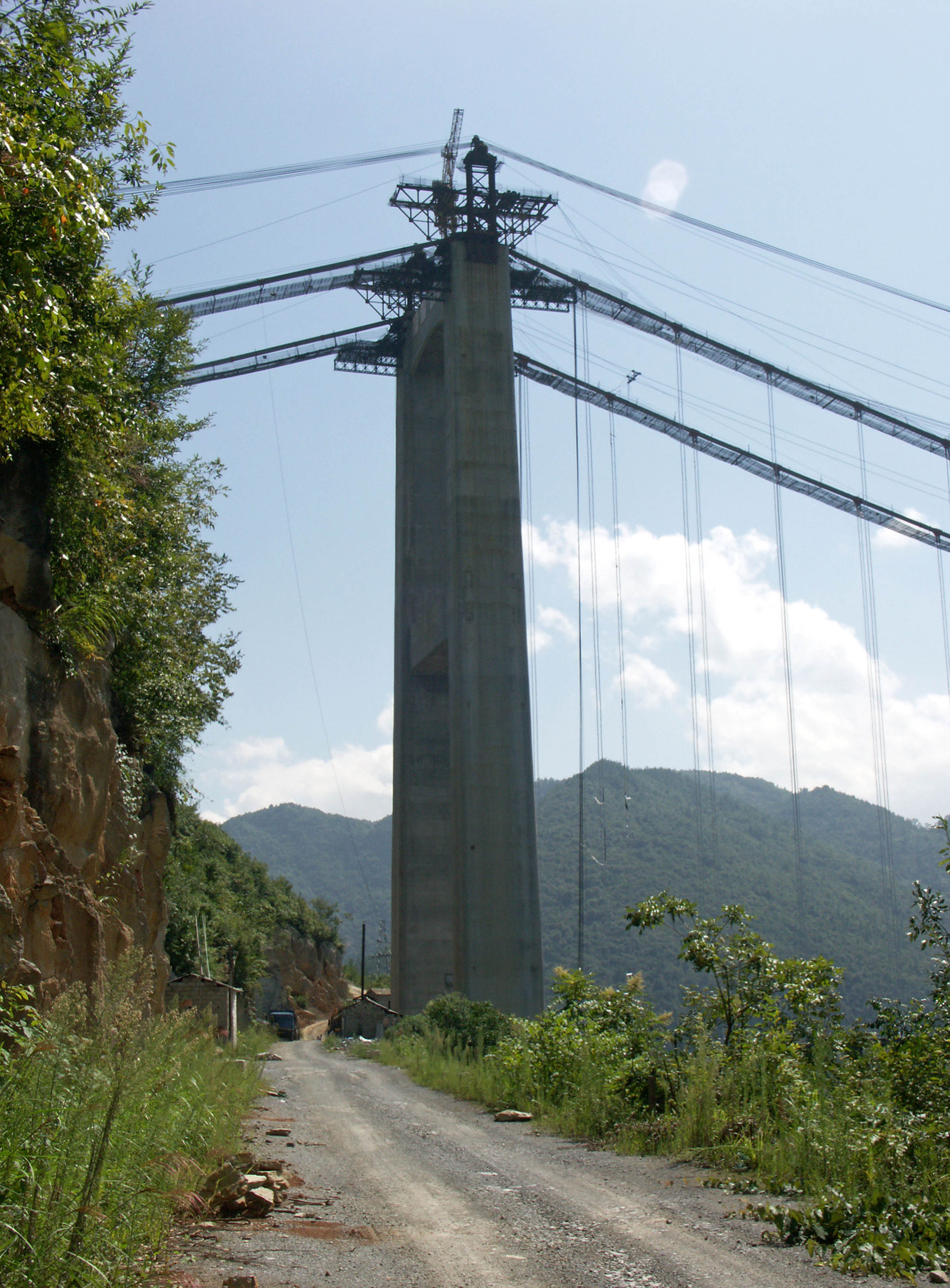
The Siduhe Bridge still under construction in 2008. Image by Eric Sakowski / HighestBridges.com
The explosion of road and bridge construction in China first began in 1989 when China launched the National Trunk Highway System, a network of 5 north-south and 7 east-west expressways with a total length of 22,000 miles (35,000 km). Divided into three stages of development, the second stage, from 1998 to 2005, was completed a decade ahead of schedule, allowing the entire infrastructure to be completed by 2009. The goal was to link more than 90 percent of all cities with a population of over half a million and 100 percent of all cities with a population of more than a million. During this time period of 20 years, the total number of highway bridges in China doubled.
In addition to the National Trunk Highway System there is a secondary National Expressway Network composed of several independent routes collectively known as “7918”. 7 is for several radiating routes around the city of Beijing while the other numbers refer to 9 north-south routes and 18 east-west routes. Many of these smaller highways will connect cities with populations of just 200,000 people. With more than 25,000 miles (40,000 km) of this system still un-built, these will be the highways to look forward to for high bridges until their completion in 2020. If the economic growth of China continues beyond 2020 then another 56,000 miles (90,000 km) of expressways may be built, bringing the total expressway mileage to 109,000 miles (175,000 km). All of these expressways have tolls. If you want to learn more about China’s rapidly growing road network, go to the Expressways of China page on Wikipedia at http://en.wikipedia.org/wiki/Expressways_of_China.
Since there are many Chinese bridges throughout this web site, a few tips about word translation are in order. Often you will see the the addition of the word “Jiang” or “He” at the end of a Chinese bridge name. Jiang means large river and is only used for the the biggest and mightiest in China - the equivalent of the Columbia, Ohio or Mississippi rivers in the U.S. or the Rhine river in Europe. The word “He” is used for all other rivers.
Multiple names are often given to the same highway based on the two cities the highway is passing between. So a section of highway between Yichang and Huangshi is called the Yihuang expressway, taking the first half of each city name and combining them. With a single highway having multiple names, there is often confusion - especially to those traveling long distances. So by July of 2010, the Ministry of Transport plans to rename 50,000 kms of expressways with uniform numbering and naming including origin and destination signs as well as new exit numbers based on kilometers traveled rather than the previous system based on a sequential number of exits passed on the route. Improved graphics as well as numerical digits for each expressway will also be implemented and will be easier to understand than previous signs that only used Chinese characters. Informal local names of the past will be replaced by more formal names that will cover larger sections of expressways making travel easier for everyone.
A Map of Western China showing the location of approximately 45 bridges that represent nearly half of the world's 100 highest. Click in for a closer look.
Within a stretch of just 8 miles (13 kms), the West Hurong highway crosses 4 bridges that are nearly 200 meters or higher. Between these deep valleys there are several other viaducts and tunnels including the nearly 4 kilometer Siduhe tunnel.
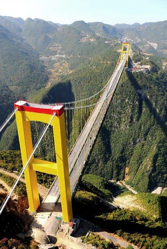
A view of the completed bridge in 2011. Image by Eric Sakowski / HighestBridges.com
Image by Georges.
Image by Eric Sakowski / HighestBridges.com
Construction view in 2008. Image by Eric Sakowski / HighestBridges.com
Image by Eric Sakowski / HighestBridges.com
Image by Eric Sakowski / HighestBridges.com
Image by Georges.
The Siduhe bridge towers were completed in mid-2006. Image by Eric Sakowski / HighestBridges.com
Just How High Is The Siduhe Bridge?
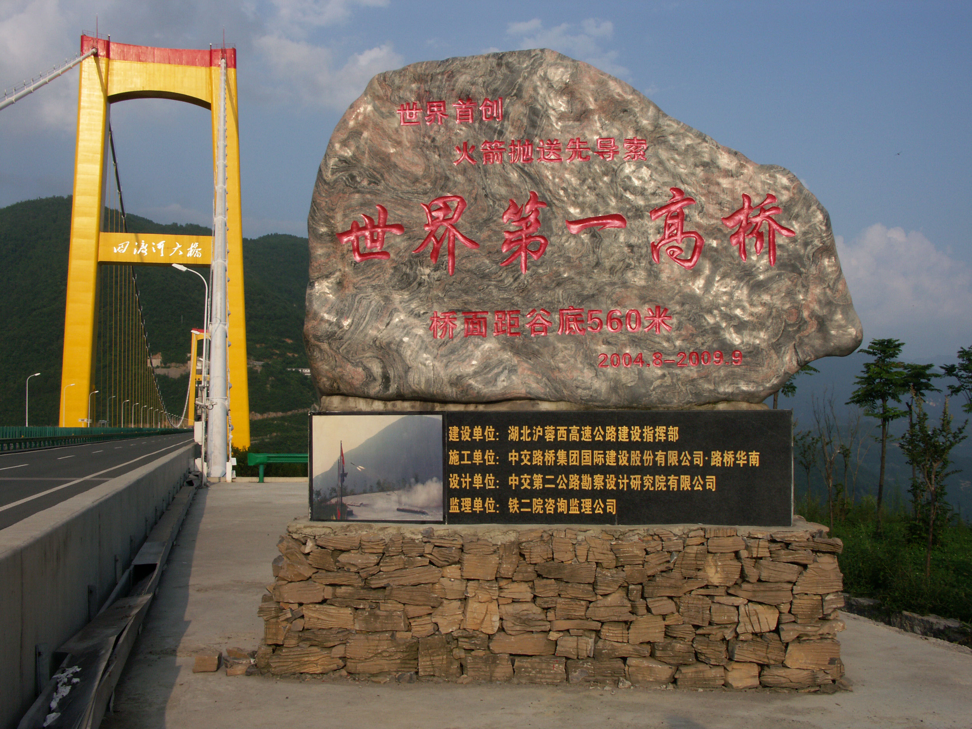
When construction began on the Siduhe Bridge in 2005, many were wondering exactly how high the bridge was going to be. The discrepancy came from several conflicting sources that supplied different figures for the final height. Some internet sources in China mentioned 650 meters while engineering papers by two of the bridge engineers stated 500 and 550 meters. Another 63 page Power Point presentation with construction photos by the construction company depicted an artist's drawing with a deck height of 560 meters. An internal highway bridge report that listed facts on every span on the Hurong expressway had yet another height figure with a deck to river difference of 496 meters.
I had hoped to get to the bottom of the controversy during a 2008 visit to the bridge construction site. Unfortunately the truss deck was not quite finished and the construction supervisors were not about to let me climb up and down the main cables to get to a point over the river where I could get an accurate measurement straight down to the river with my laser range-finder.
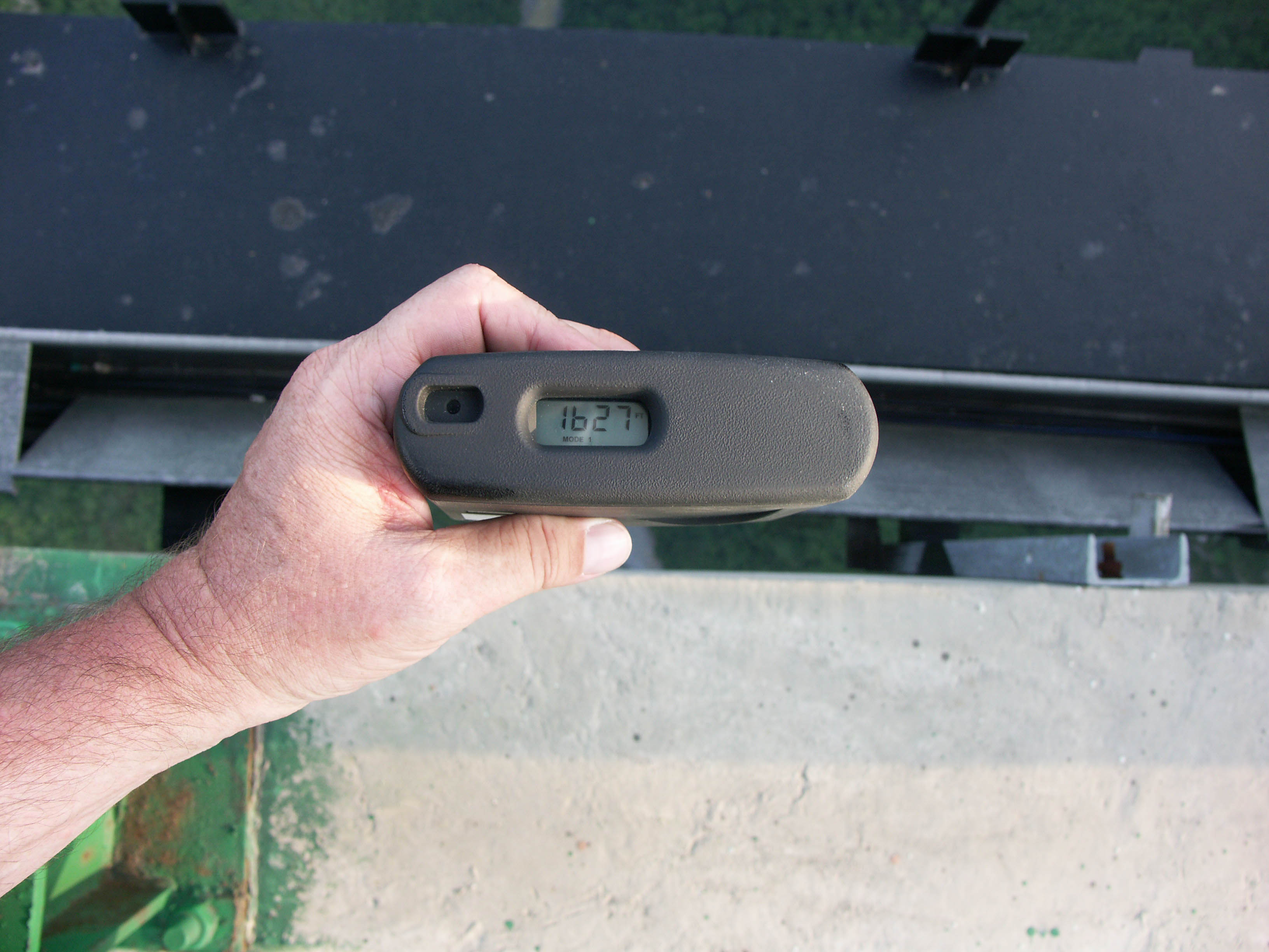
Soon after my 2008 visit I was able to obtain an Autocad drawing of the bridge and discovered a height of 496 meters was becoming a possibility as the river bottom was shown to be at an elevation of 438 meters with the deck elevation over the river at an elevation of 934 meters. Finally in 2011 I got to the bottom of the height mystery during an August bridge visit when my range-finder gave me a vertical height of 1,627 feet / 496 meters. While laser range-finders can be off by a meter or two, the bridge is definitely no less then 494 meters and no higher then 498 meters which makes the Hurong expressway bridge report the only source that was based on an accurate assessment of the ground survey and computer drawings of the bridge. By matching a Chinese bridge document with an on-site measurement I could finally give Siduhe a verified and official height figure of 496 meters!
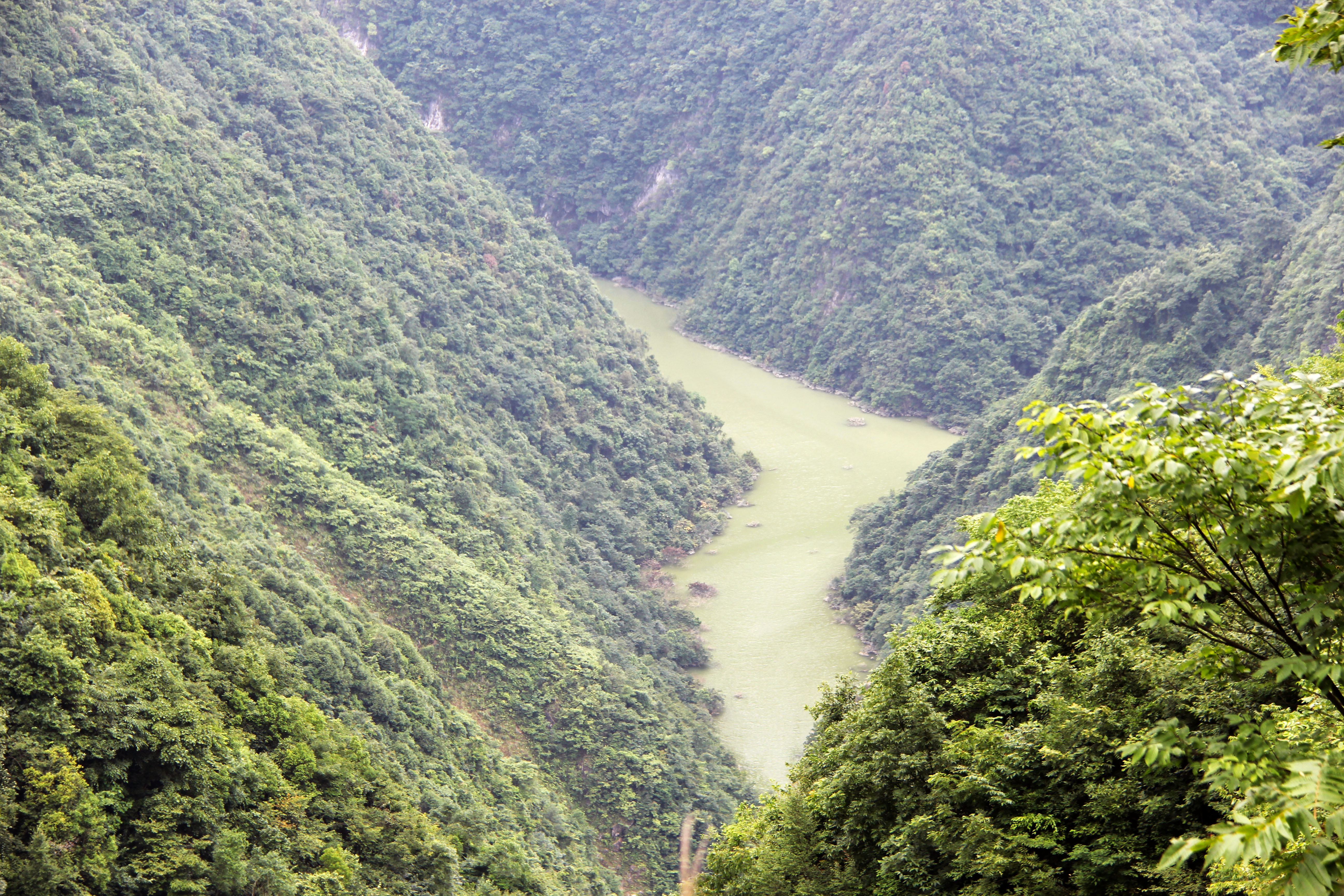
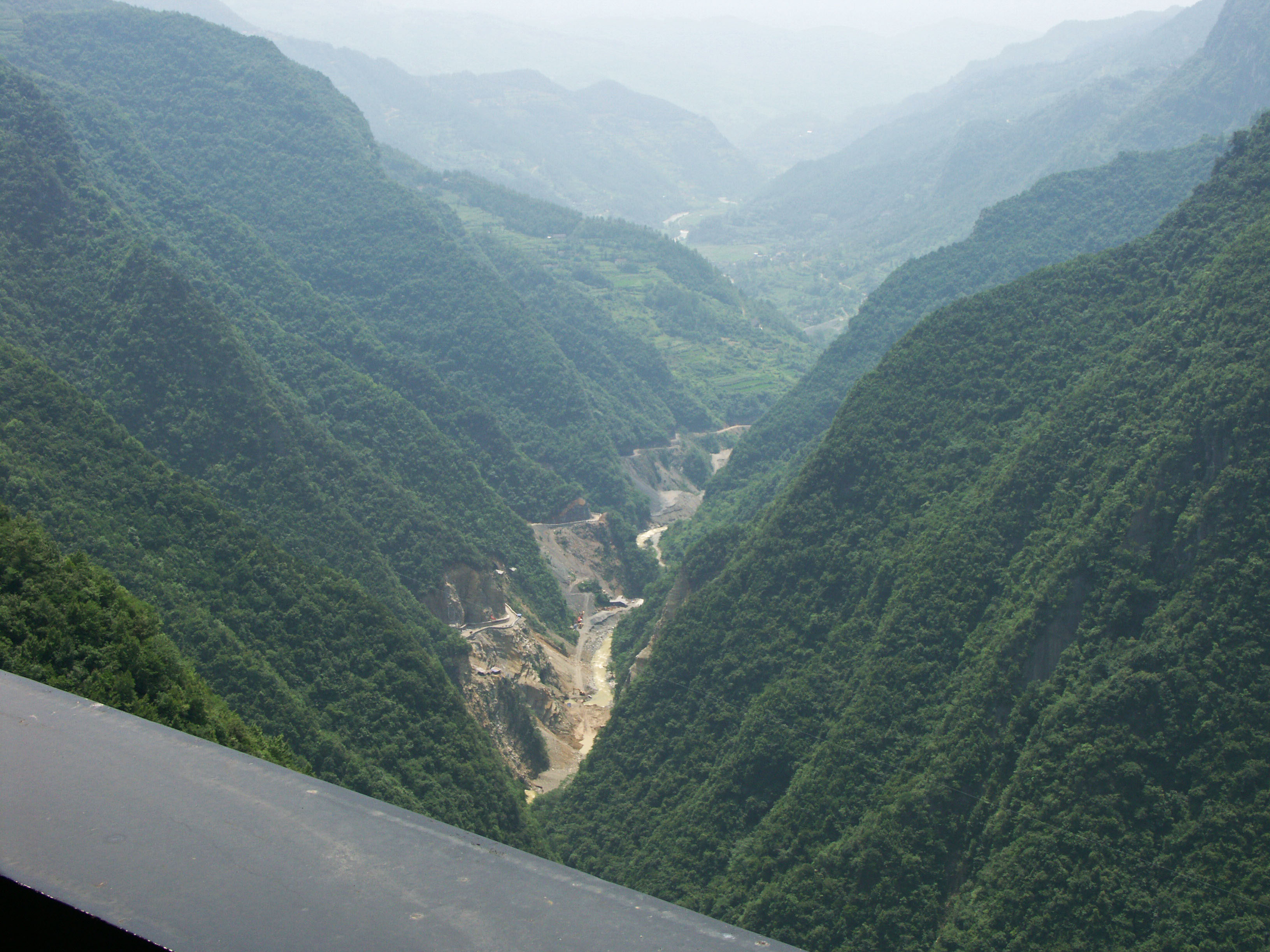
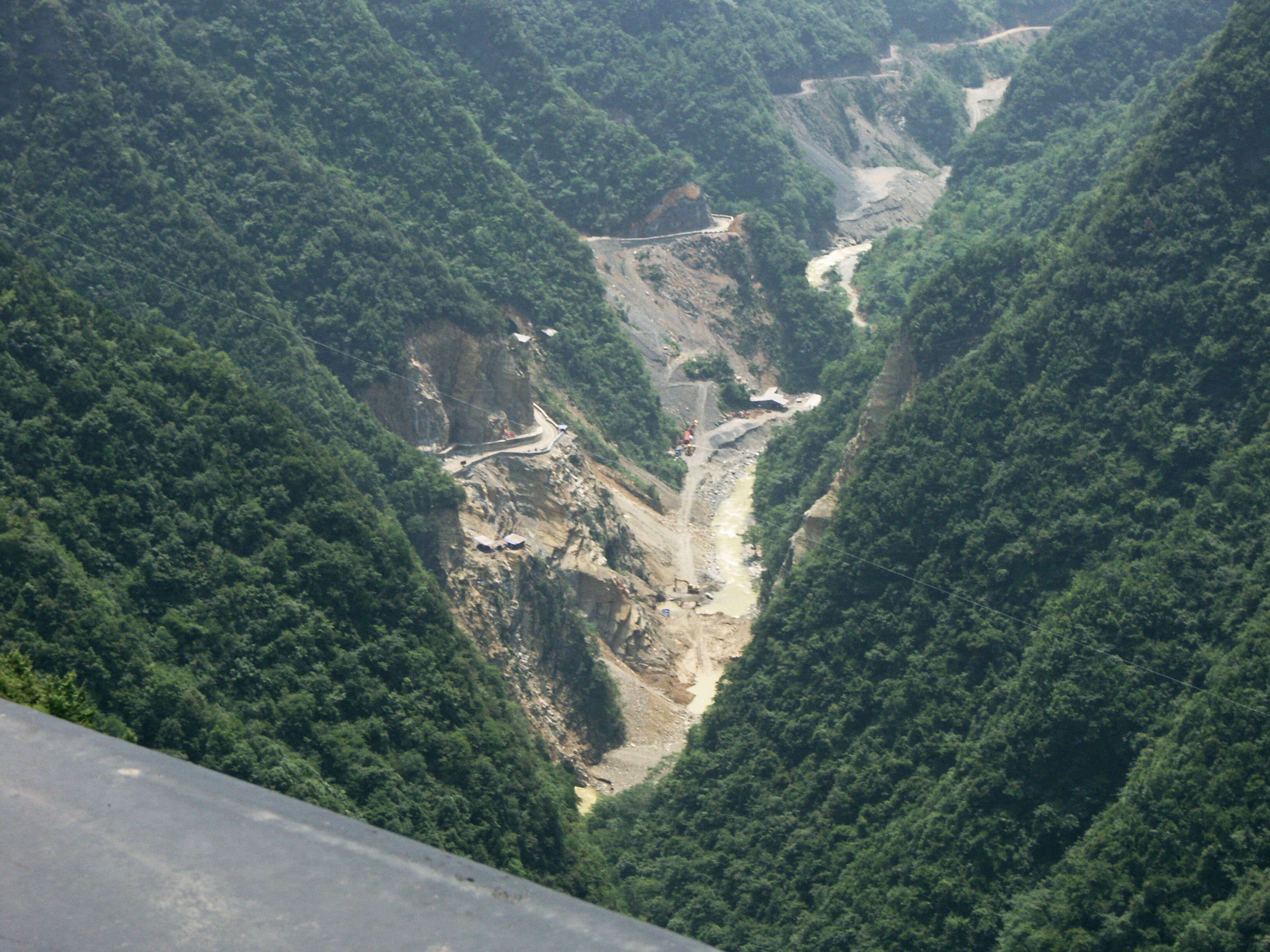
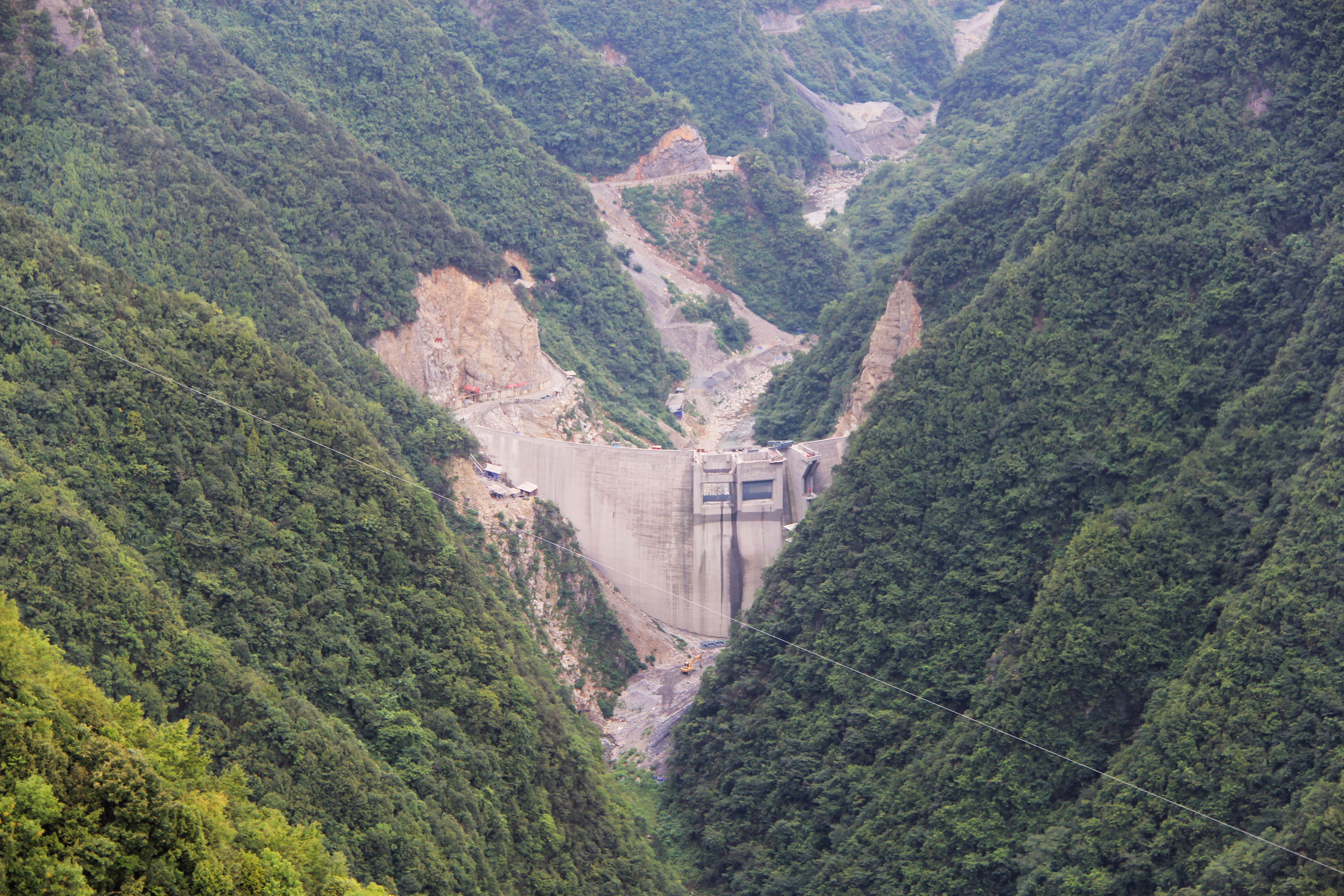
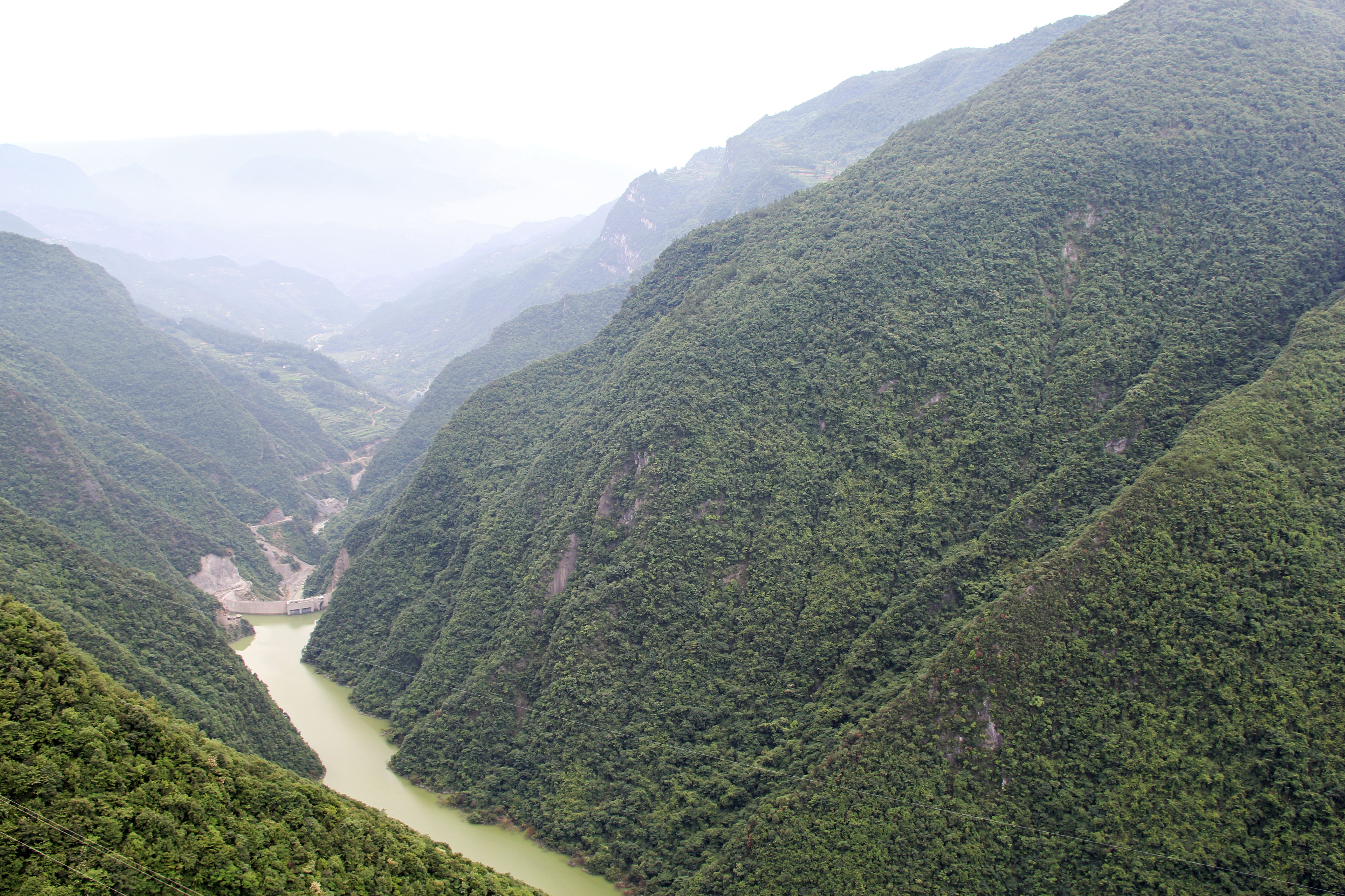
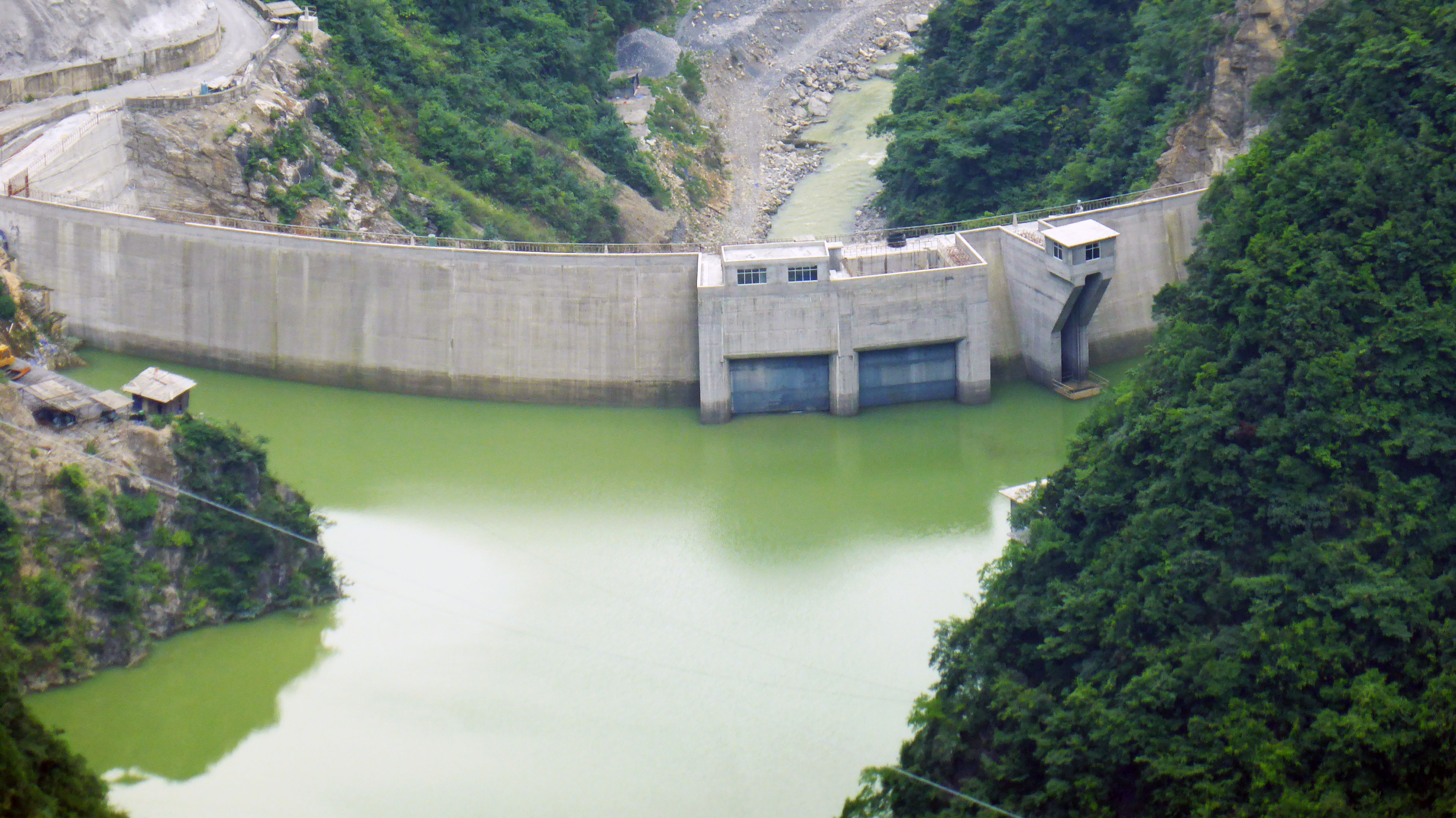
But 2011 was also the year that I discovered construction had begun on a dam about 2 kilometers downstream of the Siduhe Bridge. The 75 meter high dam created a reservoir more then 164 feet (50 meters) deep. While this does not change the official height of Siduhe Bridge, many will feel the span will not be the king it once was with a deck to lake level of around 450 meters.
A great computer animation video showing the engineering and construction for Siduhe Bridge.
http://video.sina.com.cn/v/b/98669773-1293160580.html
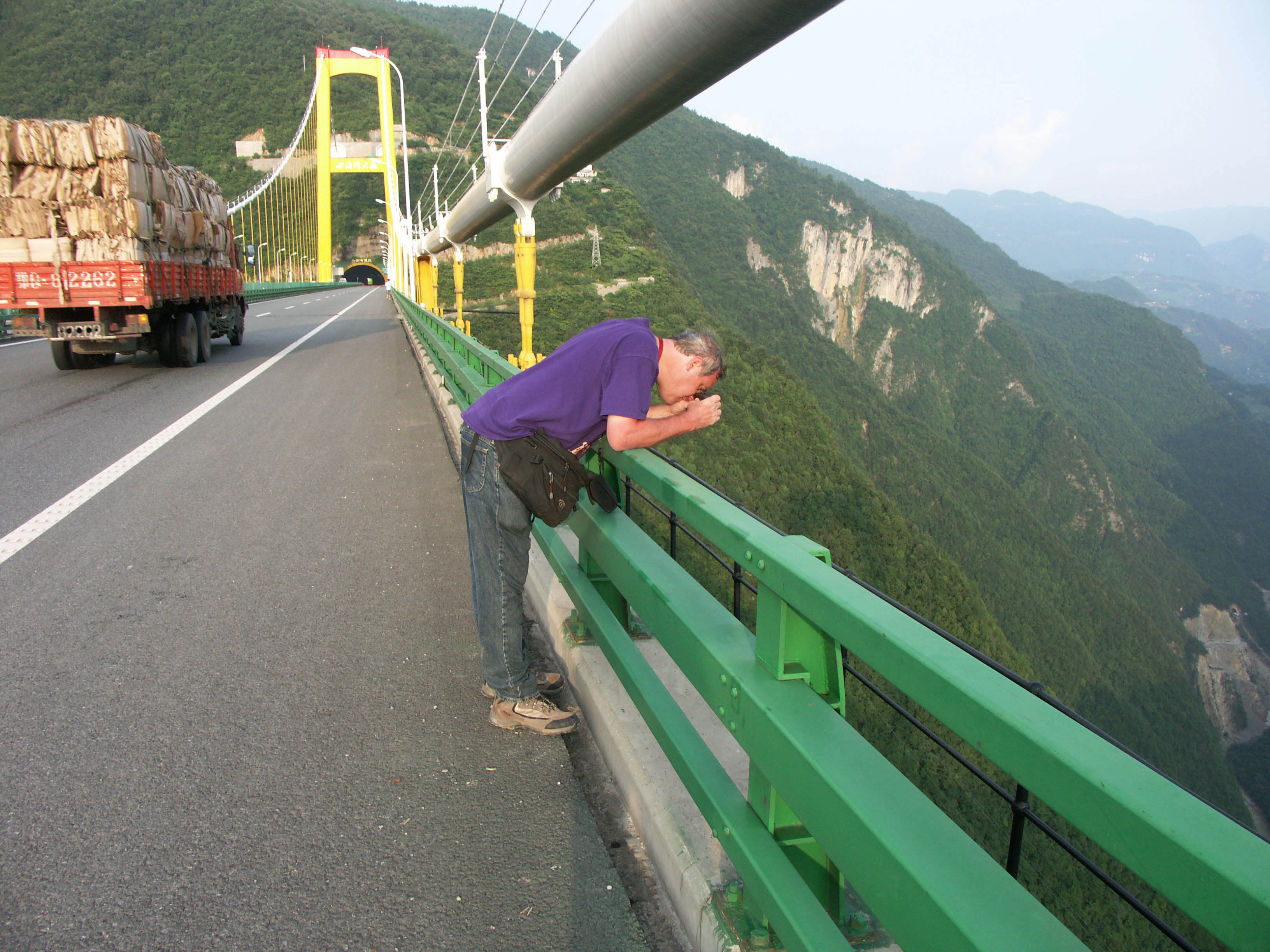
The Siduhe Bridge was finally measured during my 2011 visit to China. Image by Roger Perrin.
My rangefinder shows a height of 1,627 feet or 496 meters. This was the same figure listed on an official Chinese document covering all the statistics on the Hurong G50 expressway bridges. Image by Eric Sakowski / HighestBridges.com
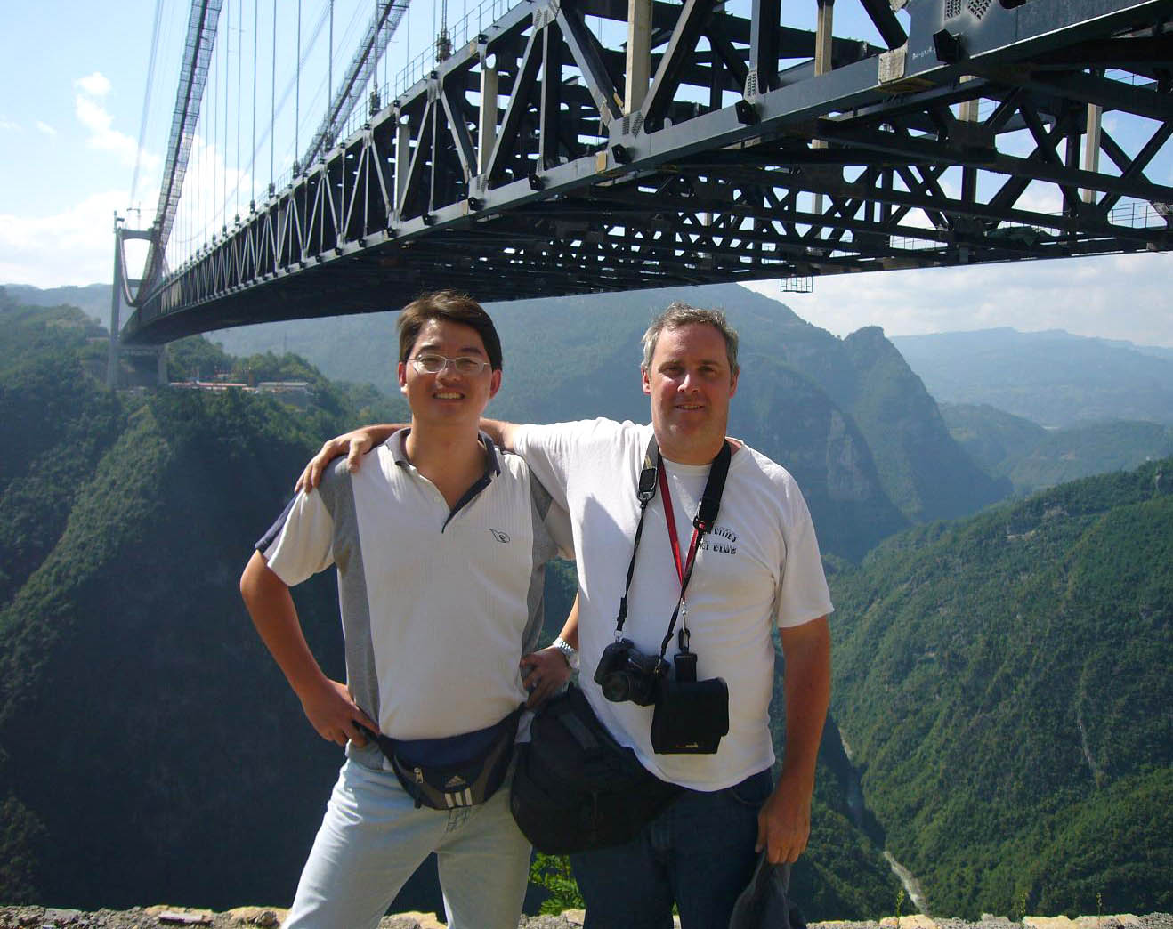
Bridge engineer Shijie Du and HighestBridges.com creator Eric Sakowski at the bridge in 2008.
Image by Georges.
Image by Eric Sakowski / HighestBridges.com
Image by Eric Sakowski / HighestBridges.com
Image by Georges.
Image by Eric Sakowski / HighestBridges.com
Image by Eric Sakowski / HighestBridges.com
Image by Eric Sakowski / HighestBridges.com
Image by Eric Sakowski / HighestBridges.com
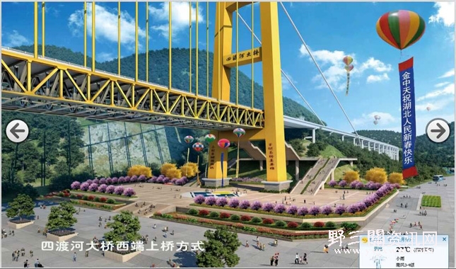
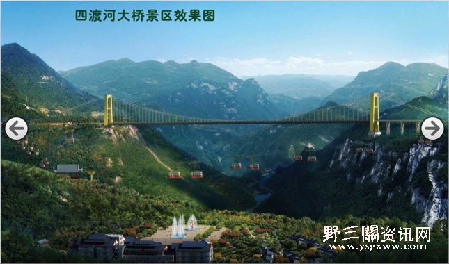
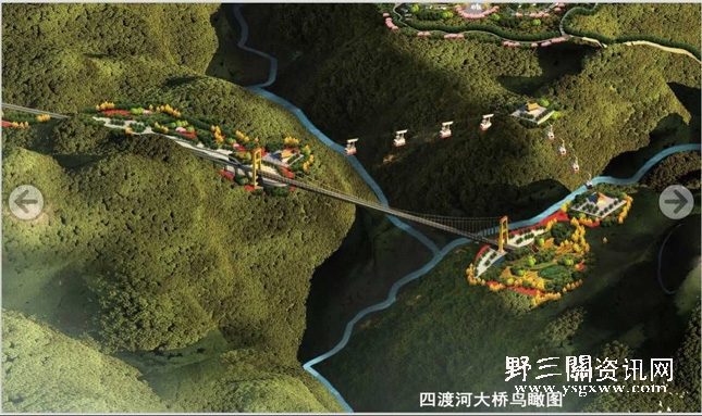
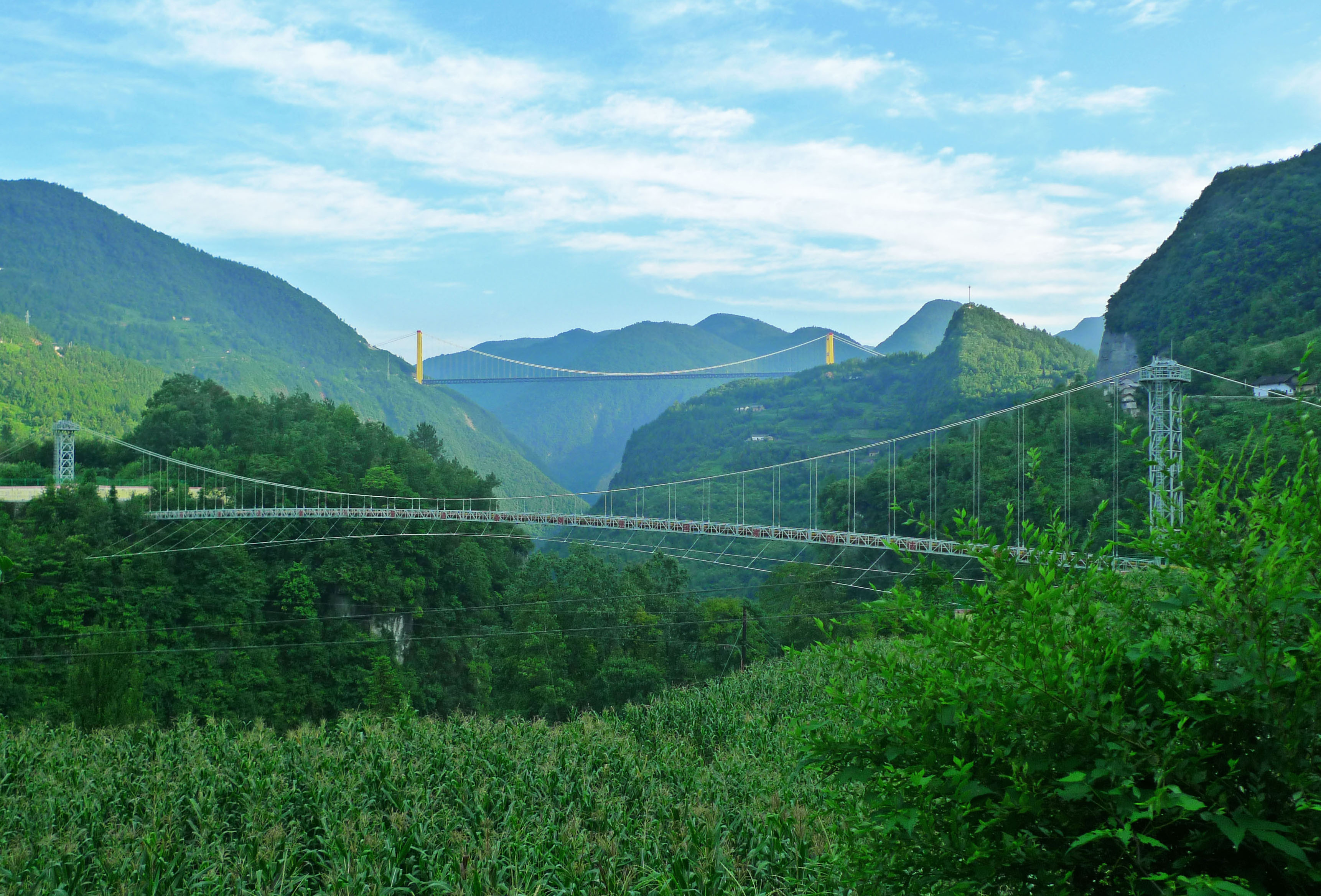
Plans are underway for a Siduhe Bridge walk and gondola tourist area.
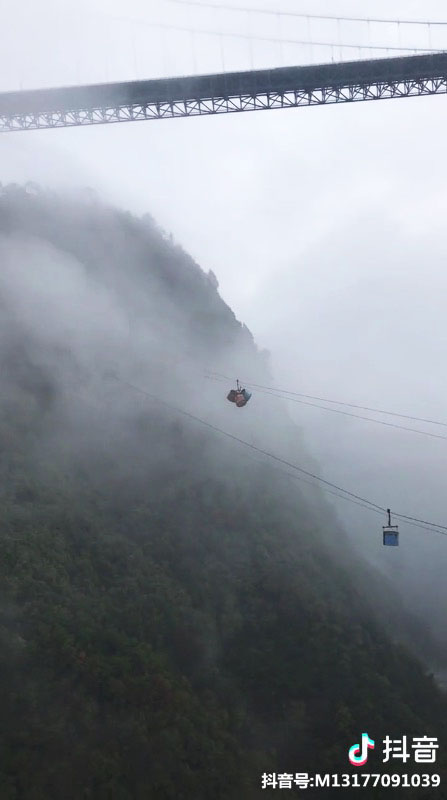
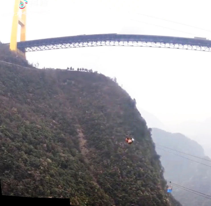
A mining ropeway on the south side of the bridge.
Image by Georges.
Image by Eric Sakowski / HighestBridges.com
Image by Eric Sakowski / HighestBridges.com
Image by Eric Sakowski / HighestBridges.com
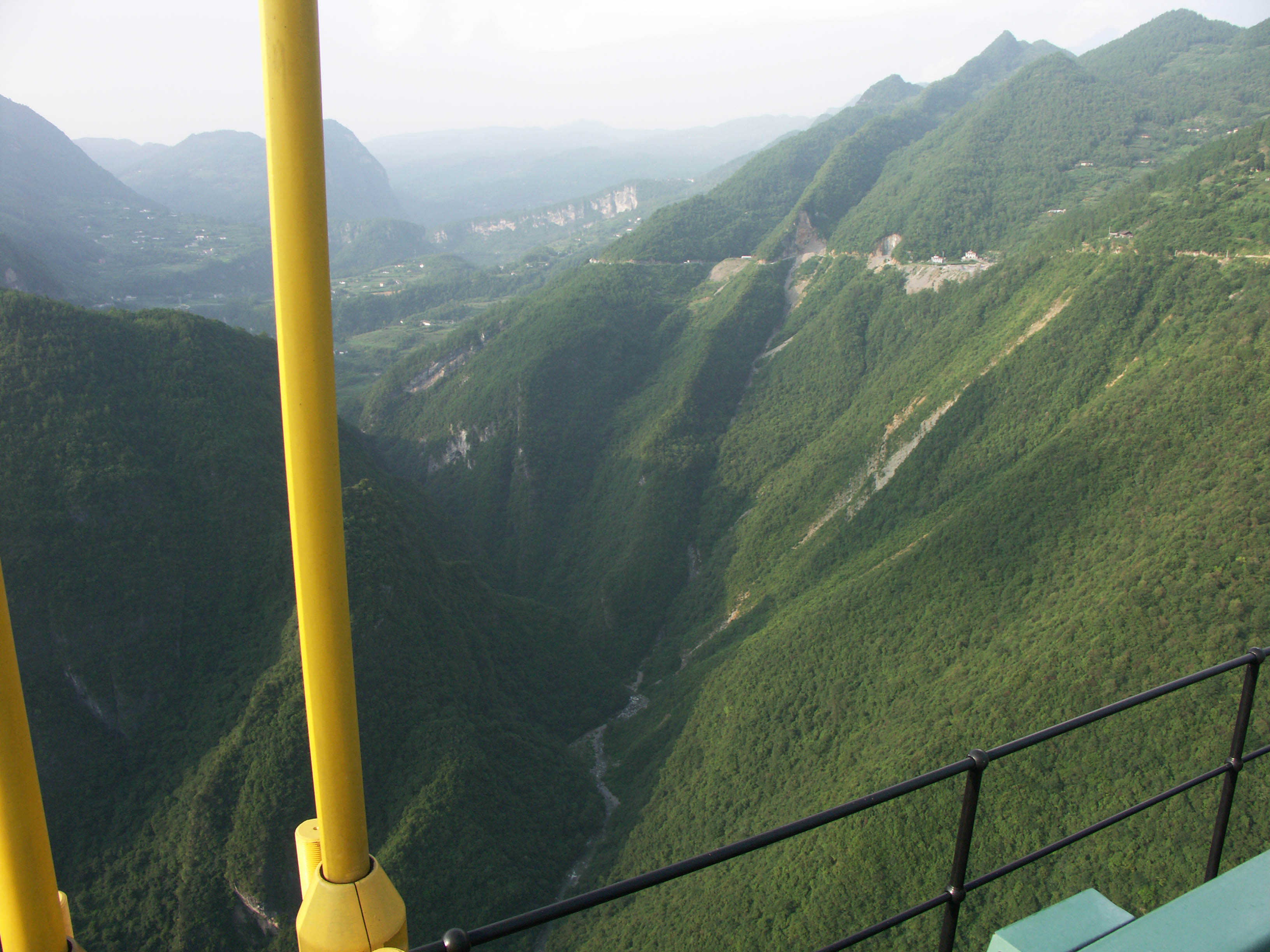
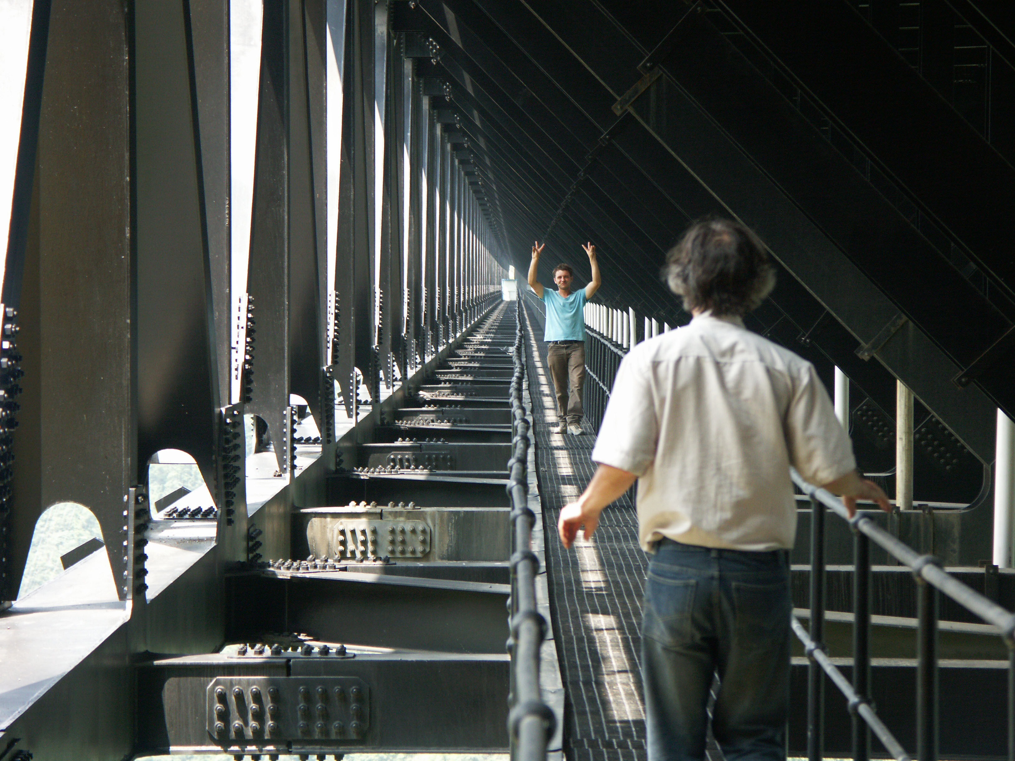
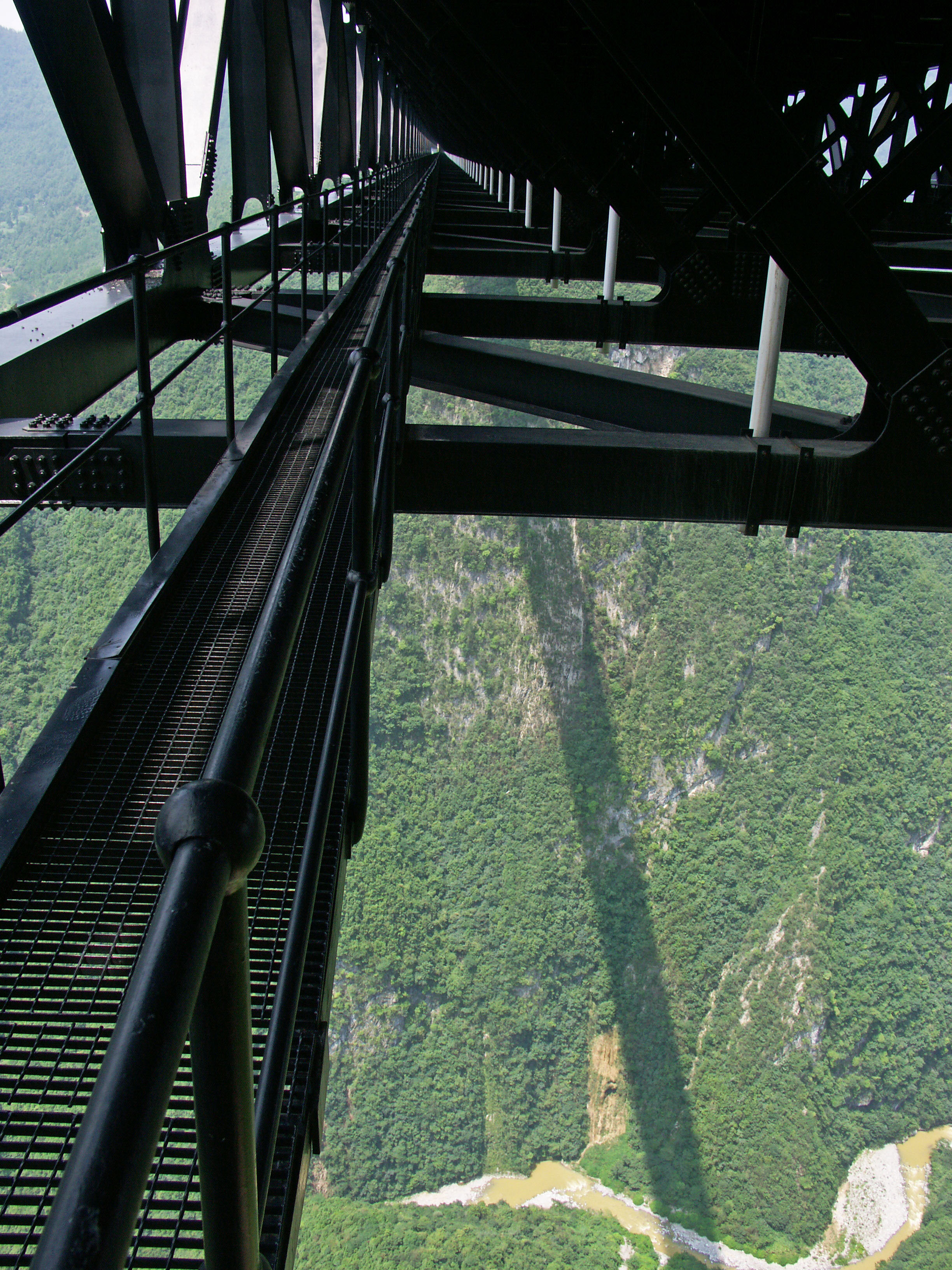
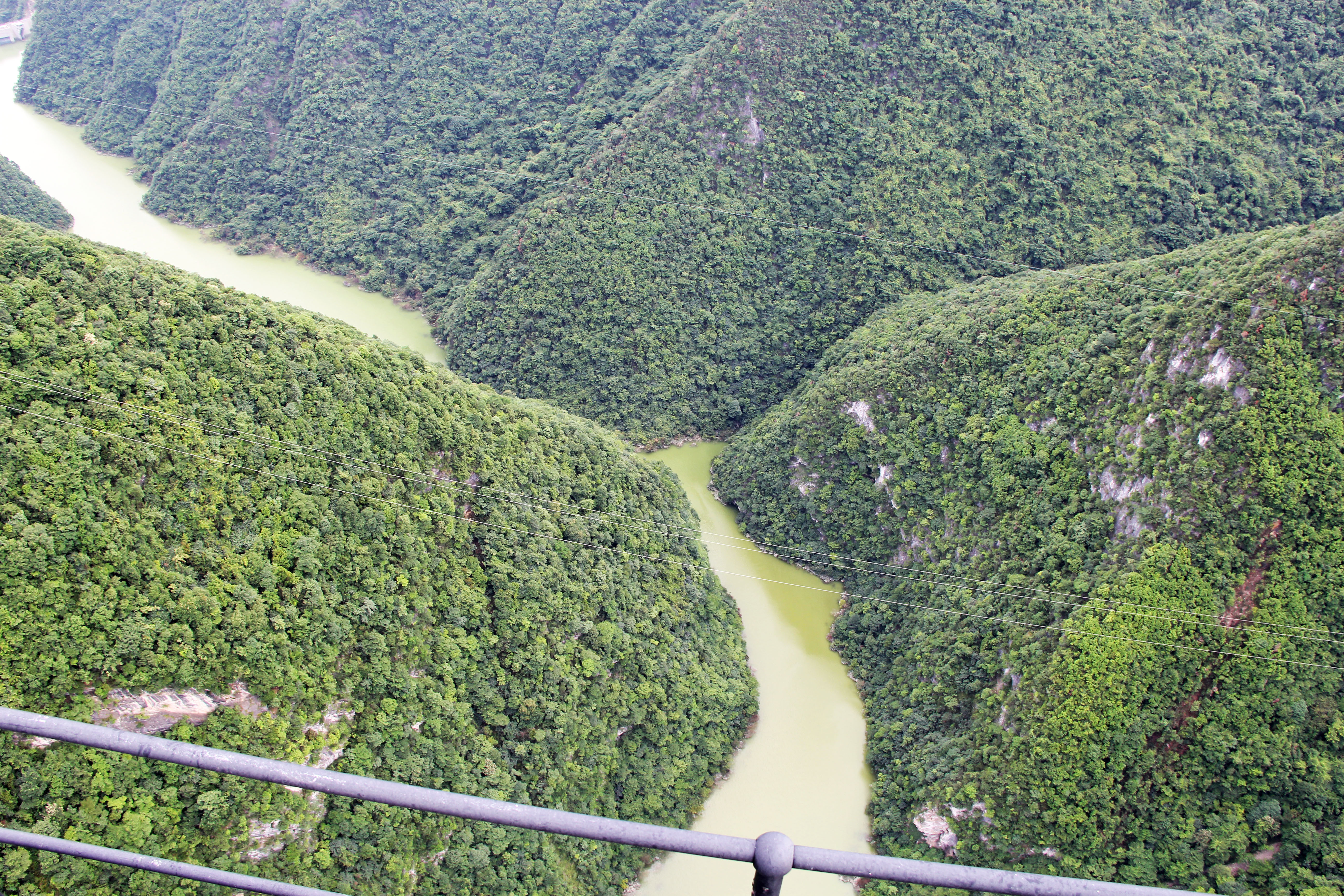
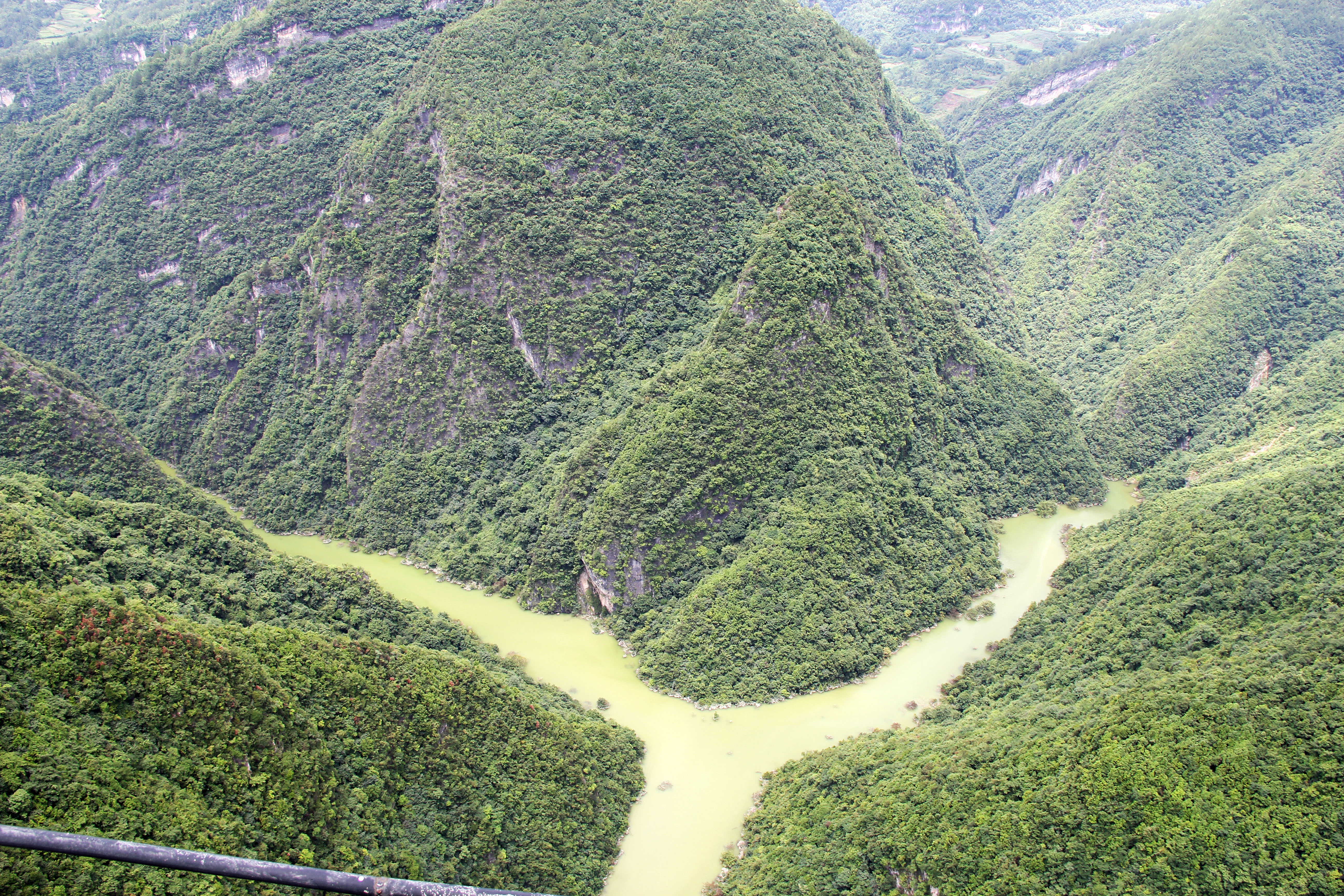
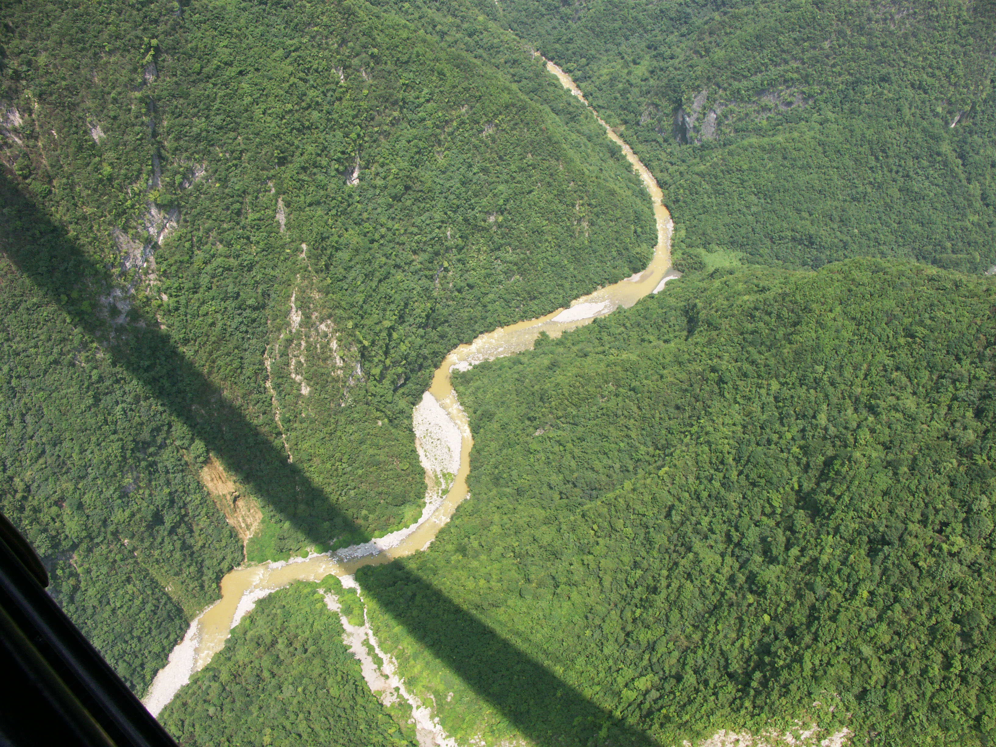
The Sidu River 1,600 feet below the catwalk. Image by Eric Sakowski / HighestBridges.com
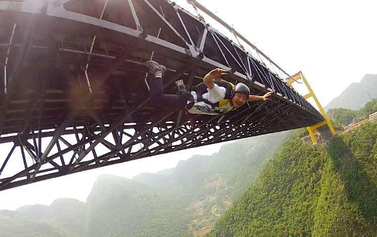
Chinese BASE jumper Xu Kai leaps from the span in early 2013. Image by Miles Daisher.
Xu Kai and Miles Daisher at the bottom of the canyon.
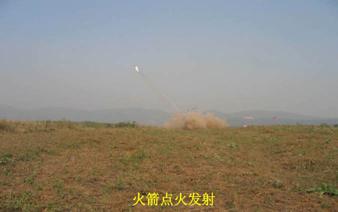
A large rock monument celebrates the successful construction of the bridge with a photo of the unusual pilot line rocket launch that was done for the first time ever in 2006. The technique was used again in 2011 for the Lishuihe Bridge in nearby Hunan Province. Image by Eric Sakowski / HighestBridges.com
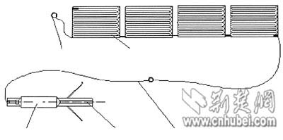
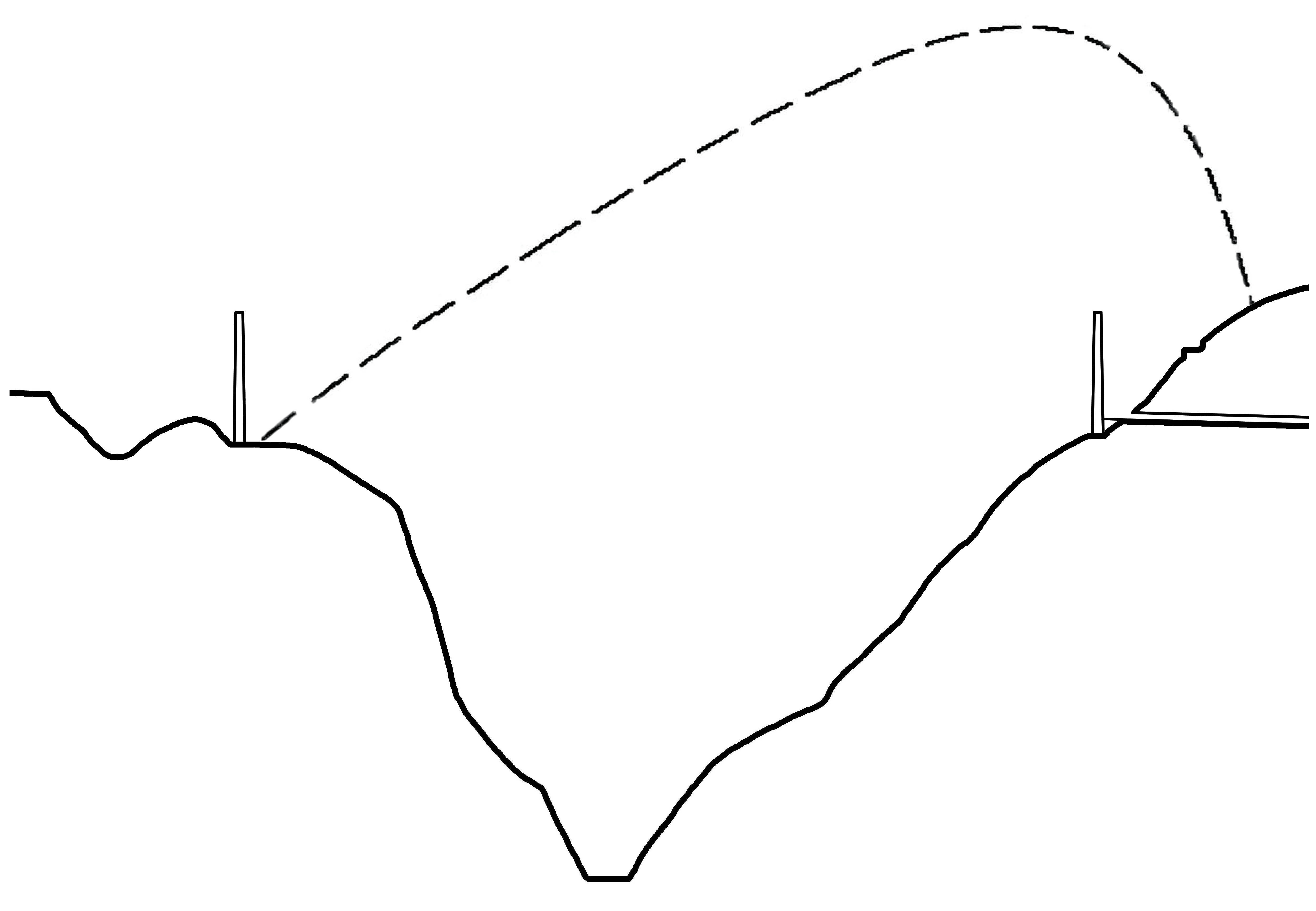
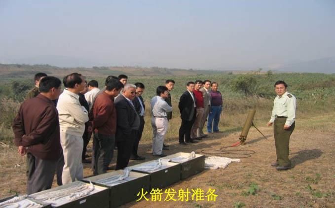
Due to the remote, inaccessible river canyon, the engineers decided to experiment and instead of using a blimp or helicopter to drag the first pilot line across the gorge, they used a rocket. Over 3,281 feet (1000 meter) of tether was attached to the back end of a 4 foot (1.5 mtr) long rocket and blasted across the deep river gorge. Image by Eric Sakowski / HighestBridges.com
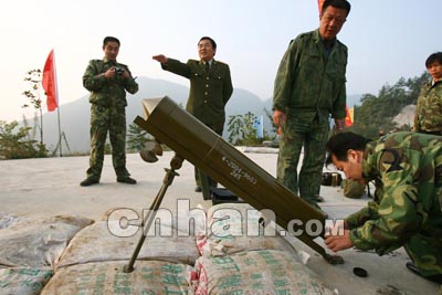
Image by cnhan.com
A diagram of the rocket with more than a 1,000 meters of bundled line. Image by www.cnhubei.com
A drawing of the path that was engineered for the rocket launch.
Engineers test the rocket with several boxes of tether. Image from Road and Bridge Southern China Engineering Co., Ltd. Power Point Presentation.
Image from Road and Bridge Southern China Engineering Co., Ltd. Power Point Presentation.
Image from Road and Bridge Southern China Engineering Co., Ltd. Power Point Presentation.
Image from Road and Bridge Southern China Engineering Co., Ltd. Power Point Presentation.
Image by Xinhua.
Image by www.cnhubei.com
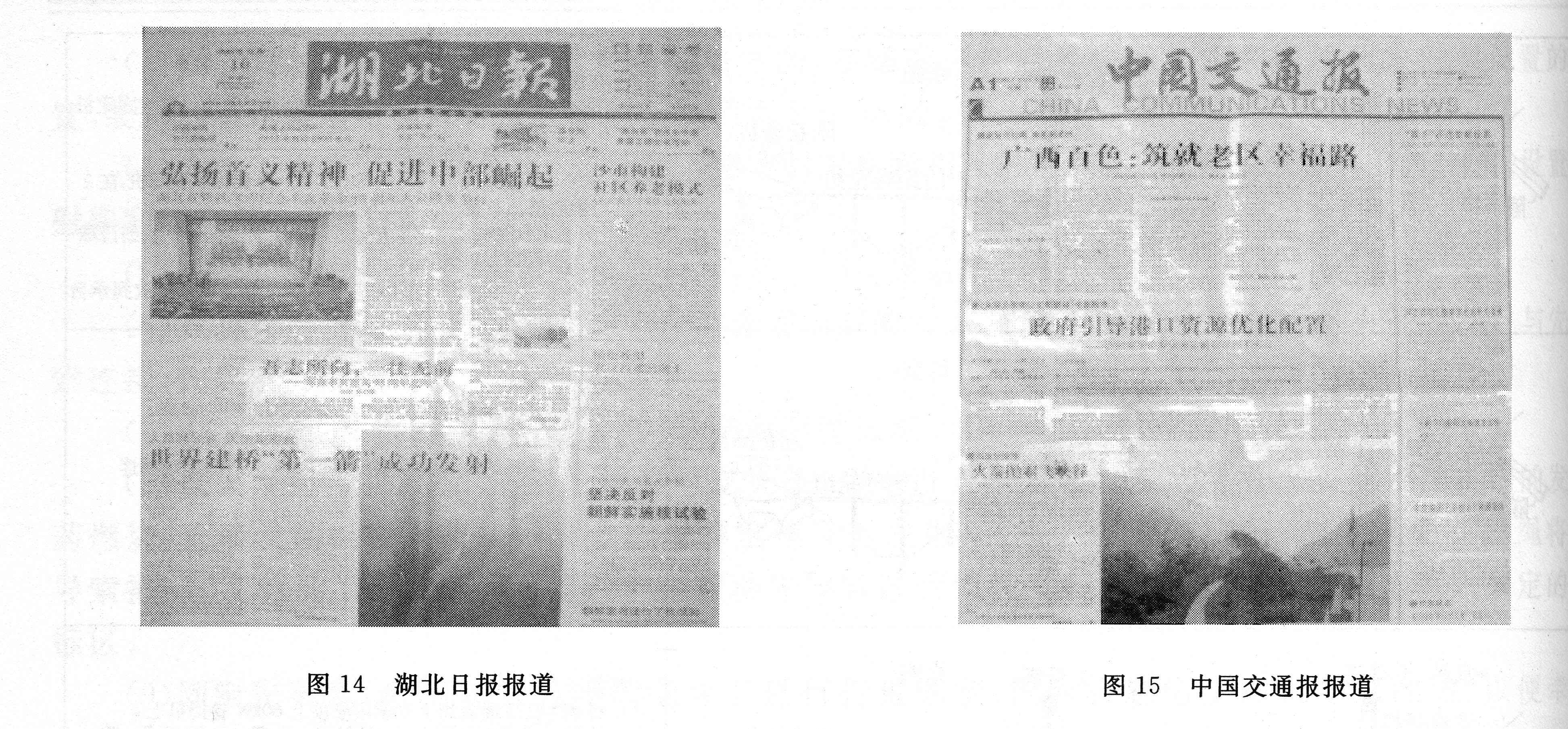
Regional newspapers reported the unique rocket launch. Image by Hubei Government
Image by www.cnhubei.com
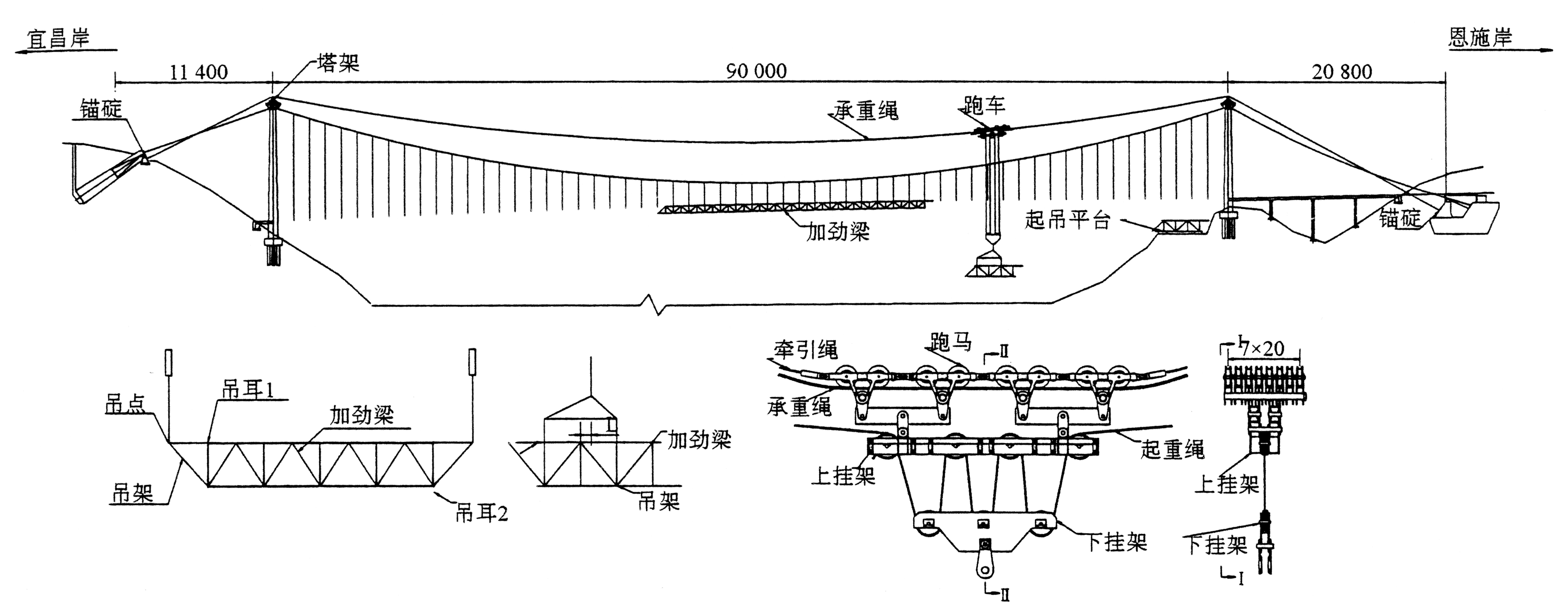
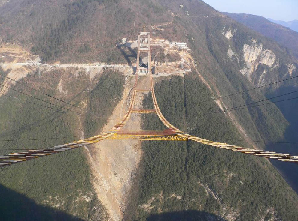
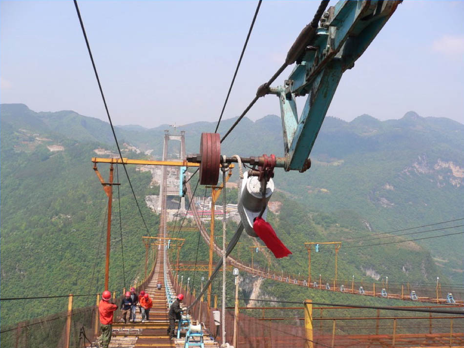
A pulley system drags across one of the first cables in the fall of 2006. Image from Road and Bridge Southern China Engineering Co., Ltd. Power Point Presentation.
Image by Hubei Government
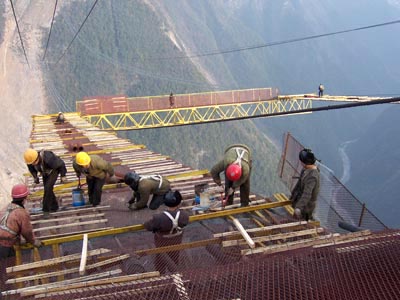
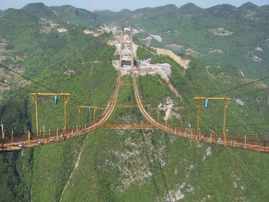
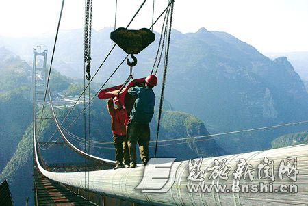
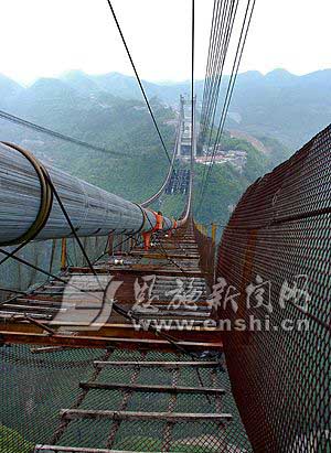
The catwalk is nearly complete in late 2006. Image from Road and Bridge Southern China Engineering Co., Ltd. Power Point Presentation.
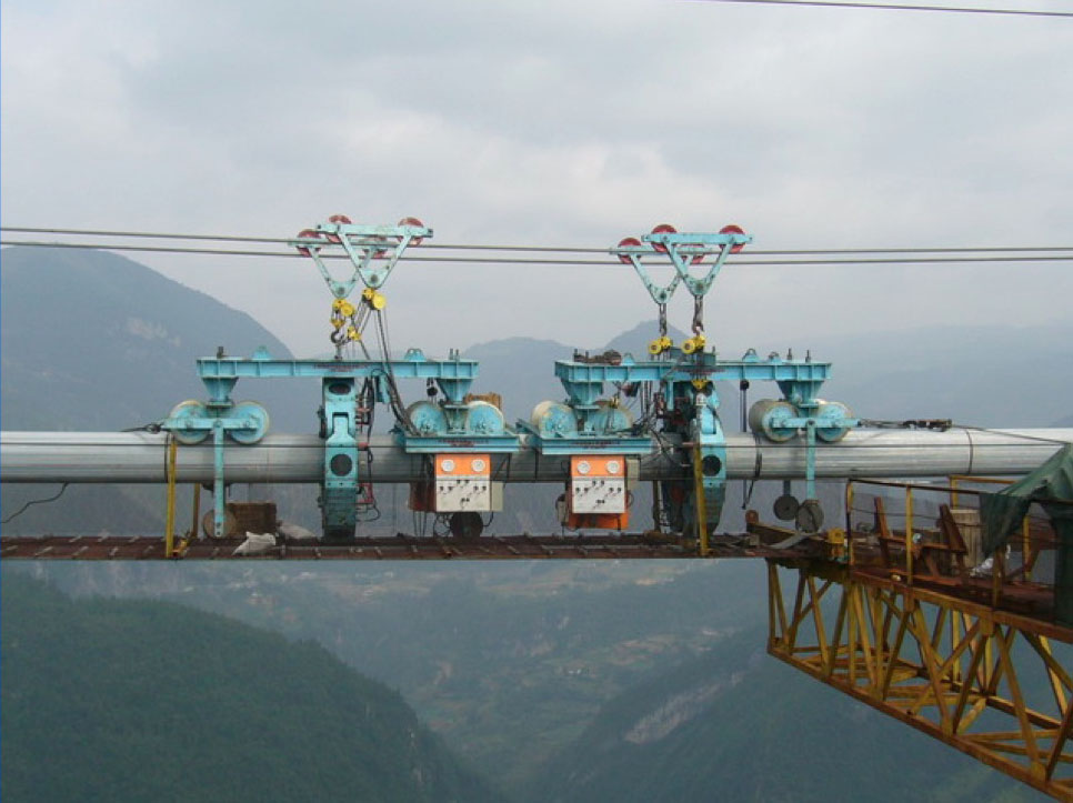
A series of pulley supports and wheel rollers is installed prior to the cable wire spinning. Image from Road and Bridge Southern China Engineering Co., Ltd. Power Point Presentation.
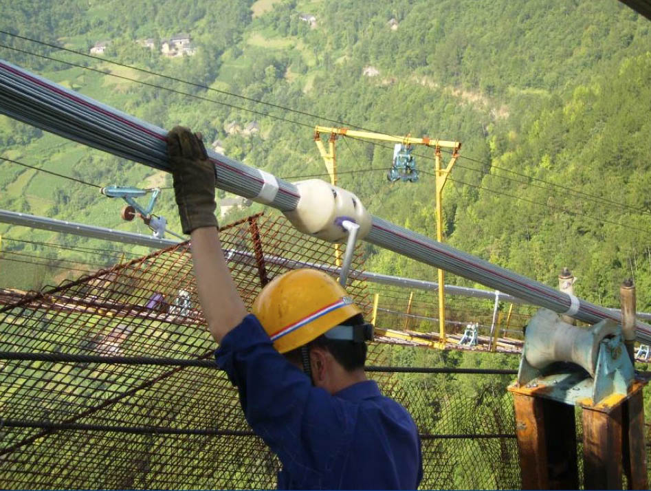
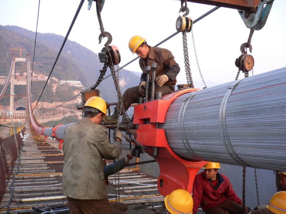
127 wires are grouped into bundles that will eventually be compacted into one huge cable composed of thousands of wires. Image from Road and Bridge Southern China Engineering Co., Ltd. Power Point Presentation.
A bundle is moved into position. Image from Road and Bridge Southern China Engineering Co., Ltd. Power Point Presentation.
A compactor compresses the bundles together tightly before steel bands are wrapped around the entire cable. Image from Road and Bridge Southern China Engineering Co., Ltd. Power Point Presentation.
Image from Road and Bridge Southern China Engineering Co., Ltd. Power Point Presentation.
Image by www.enshi.cn
Steel clamps are installed at intervals where vertical suspender cables will hang from them to support the weight of the truss deck. Image from Road and Bridge Southern China Engineering Co., Ltd. Power Point Presentation.
Image by www.enshi.cn
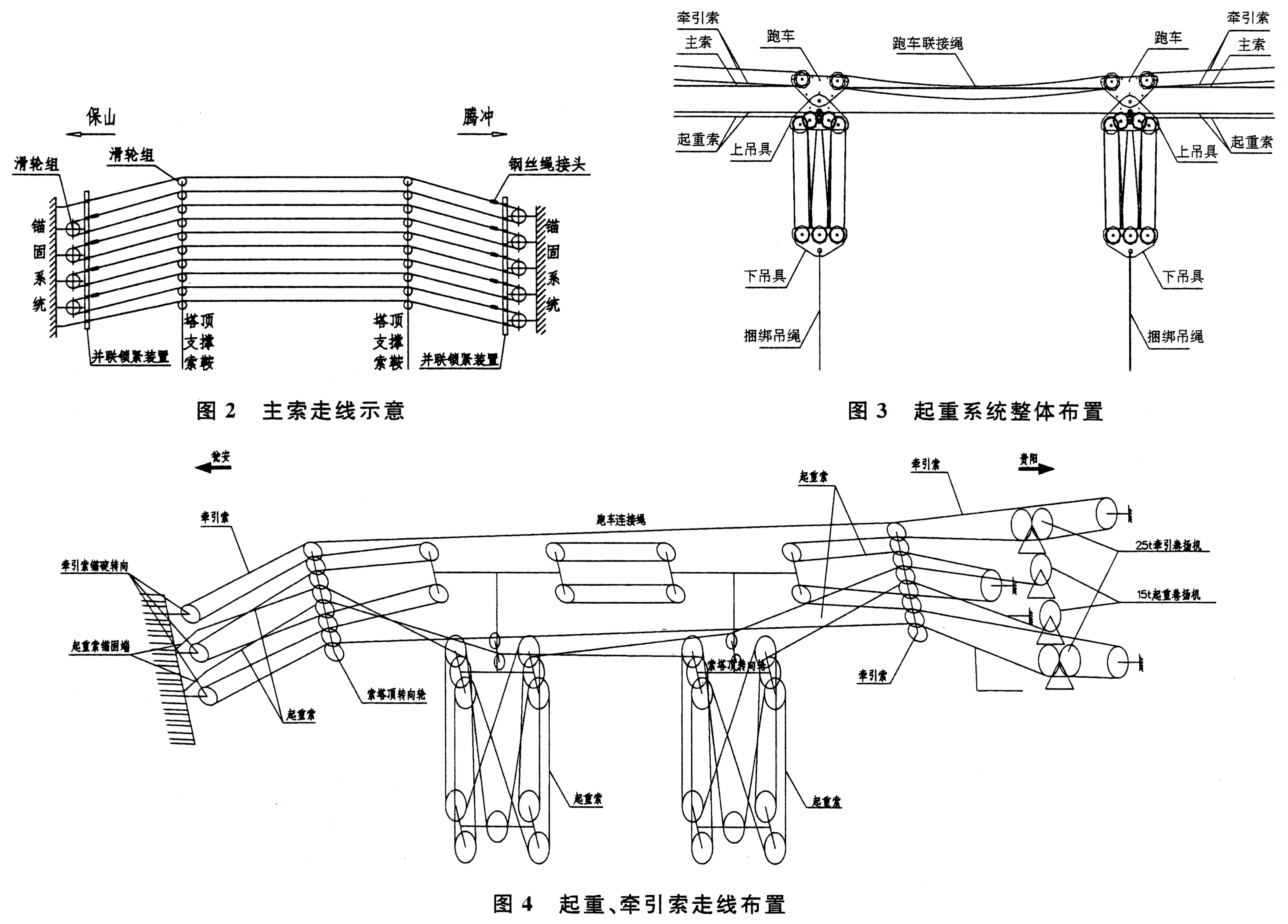
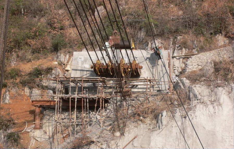
The temporary highline anchorage. The cables pass over the top of both bridge towers and allow the movement of the truss members to be carried out over the gorge. Image from Road and Bridge Southern China Engineering Co., Ltd. Power Point Presentation.
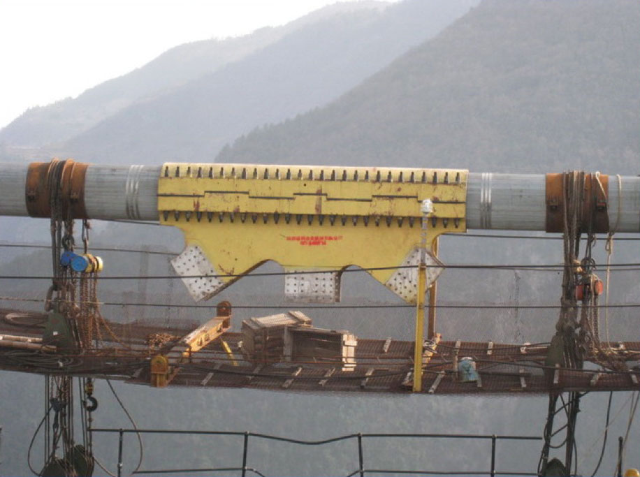
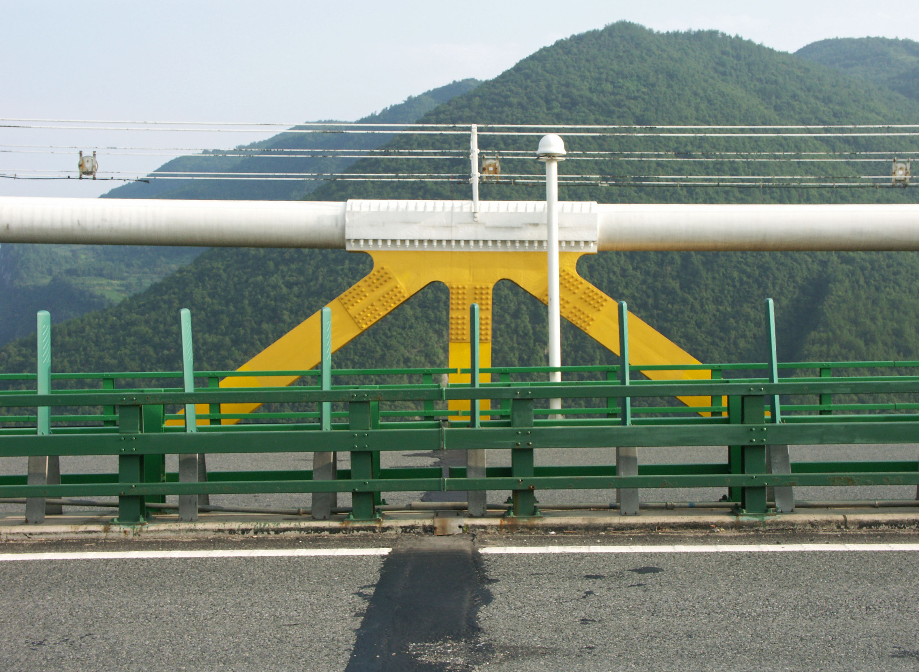
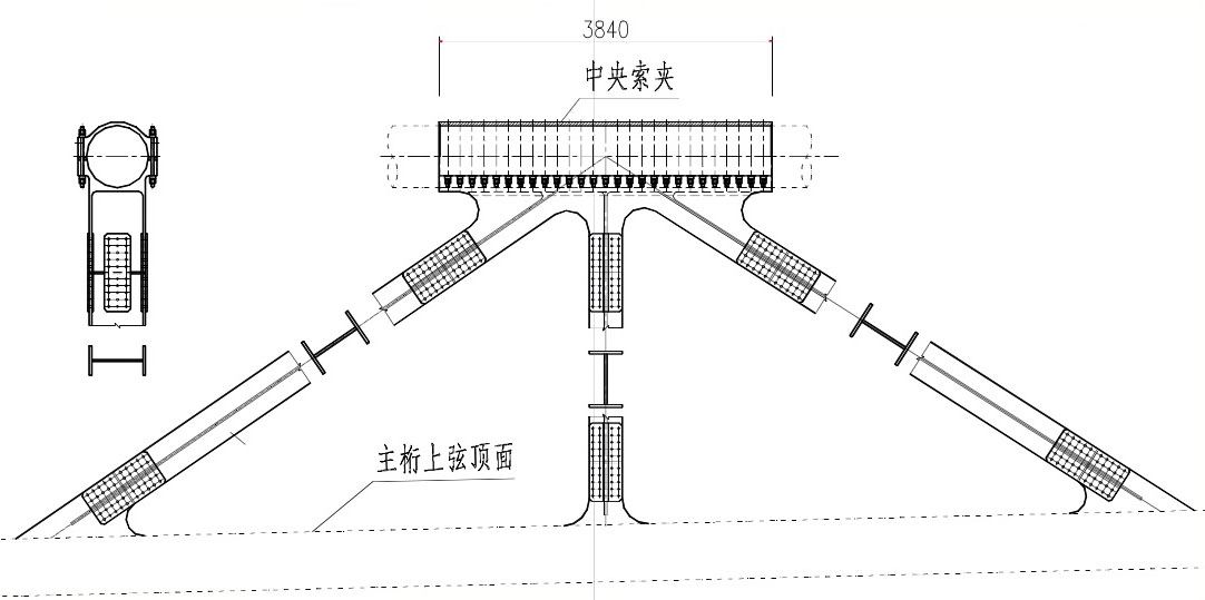
The central truss clamp locks the main cables to the 900 meter long deck truss to ensure that the steel expands and contracts evenly at the expansion joints located at either end of the truss directly beneath the towers. Image from Road and Bridge Southern China Engineering Co., Ltd. Power Point Presentation.
Image by Eric Sakowski / HighestBridges.com
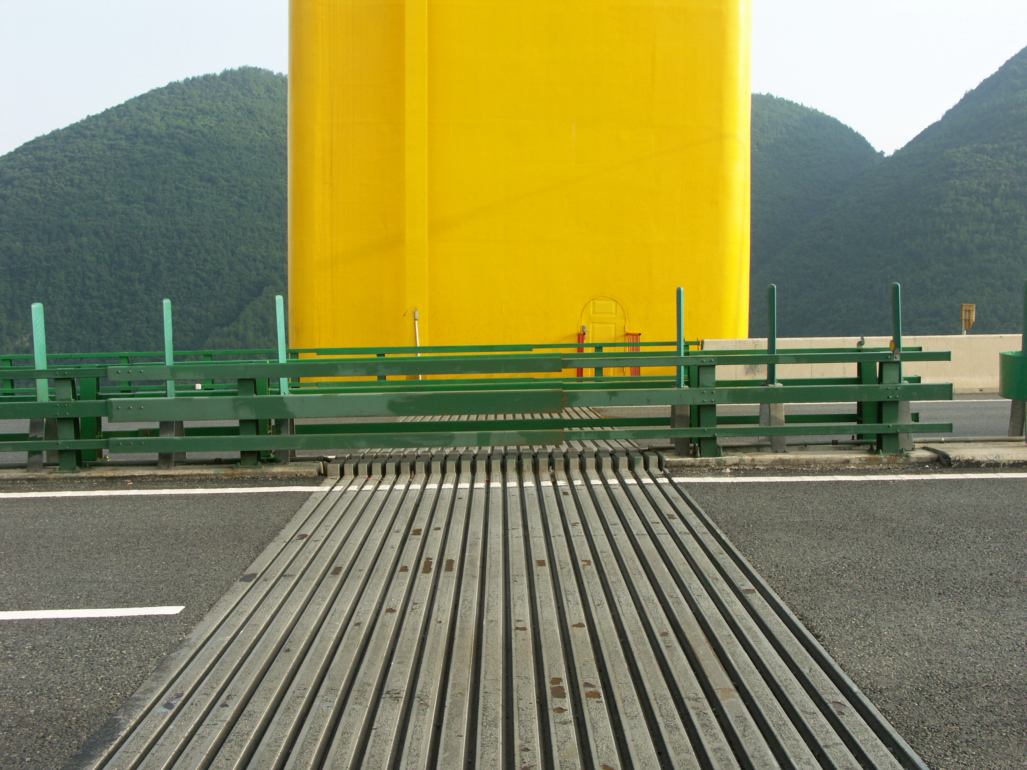
East tower expansion joint. Image by Eric Sakowski / HighestBridges.com
West tower expansion joint from below. Image by Eric Sakowski / HighestBridges.com
Image from Road and Bridge Southern China Engineering Co., Ltd. Power Point Presentation.
Image by Hubei Government
Image by www.enshi.cn
Image from Road and Bridge Southern China Engineering Co., Ltd. Power Point Presentation.
Image from Road and Bridge Southern China Engineering Co., Ltd. Power Point Presentation.
Image from Road and Bridge Southern China Engineering Co., Ltd. Power Point Presentation.
Image from Road and Bridge Southern China Engineering Co., Ltd. Power Point Presentation.
Image from Road and Bridge Southern China Engineering Co., Ltd. Power Point Presentation.
Image from Road and Bridge Southern China Engineering Co., Ltd. Power Point Presentation.
Image by Eric Sakowski / HighestBridges.com
Image by Eric Sakowski / HighestBridges.com
Siduhe deck truss cross section.
Precast deck sections await placement. Image by Eric Sakowski / HighestBridges.com
Image by Eric Sakowski / HighestBridges.com
Image by Eric Sakowski / HighestBridges.com
Image by Eric Sakowski / HighestBridges.com
Image by Eric Sakowski / HighestBridges.com
Image by Eric Sakowski / HighestBridges.com
Image by Eric Sakowski / HighestBridges.com
Image from Road and Bridge Southern China Engineering Co., Ltd. Power Point Presentation.
Image by www.cnhubei.com
Image by Georges.
A 2014 view showing the low reservoir that had formed at the bottom of the valley. Image by Eric Sakowski / HighestBridges.com
Image by Eric Sakowski / HighestBridges.com
Image by Eric Sakowski / HighestBridges.com
Image by Eric Sakowski / HighestBridges.com
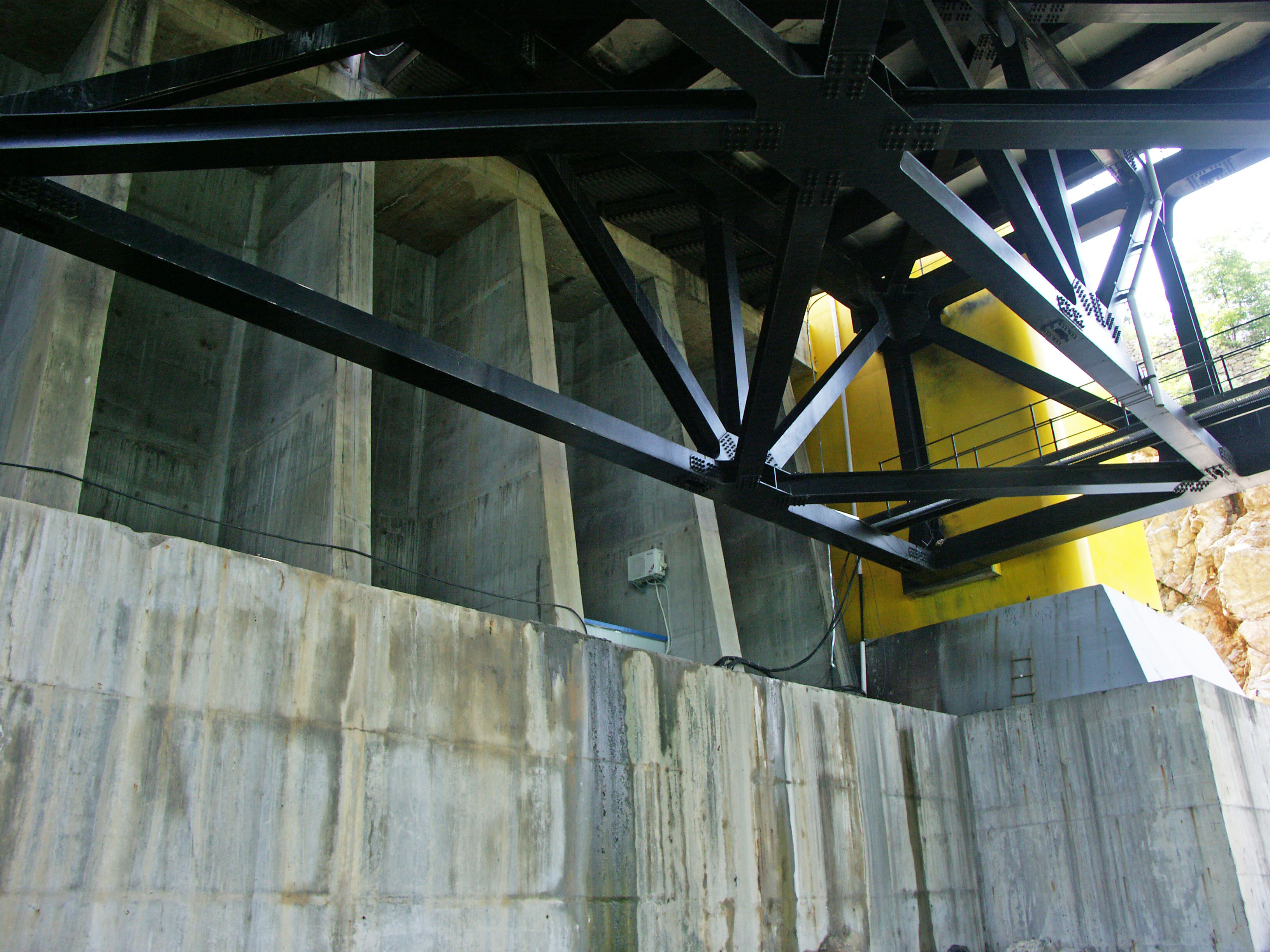
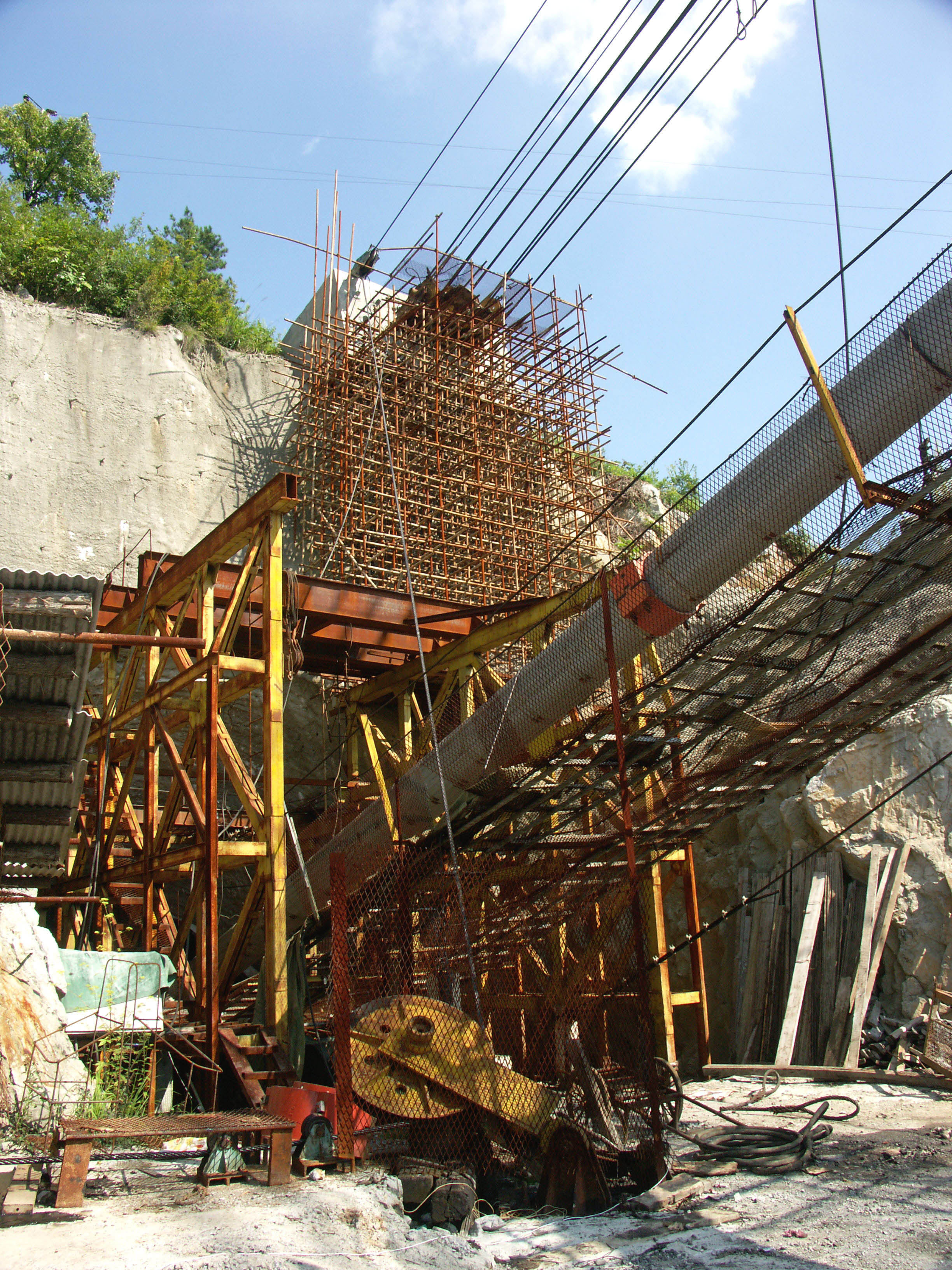
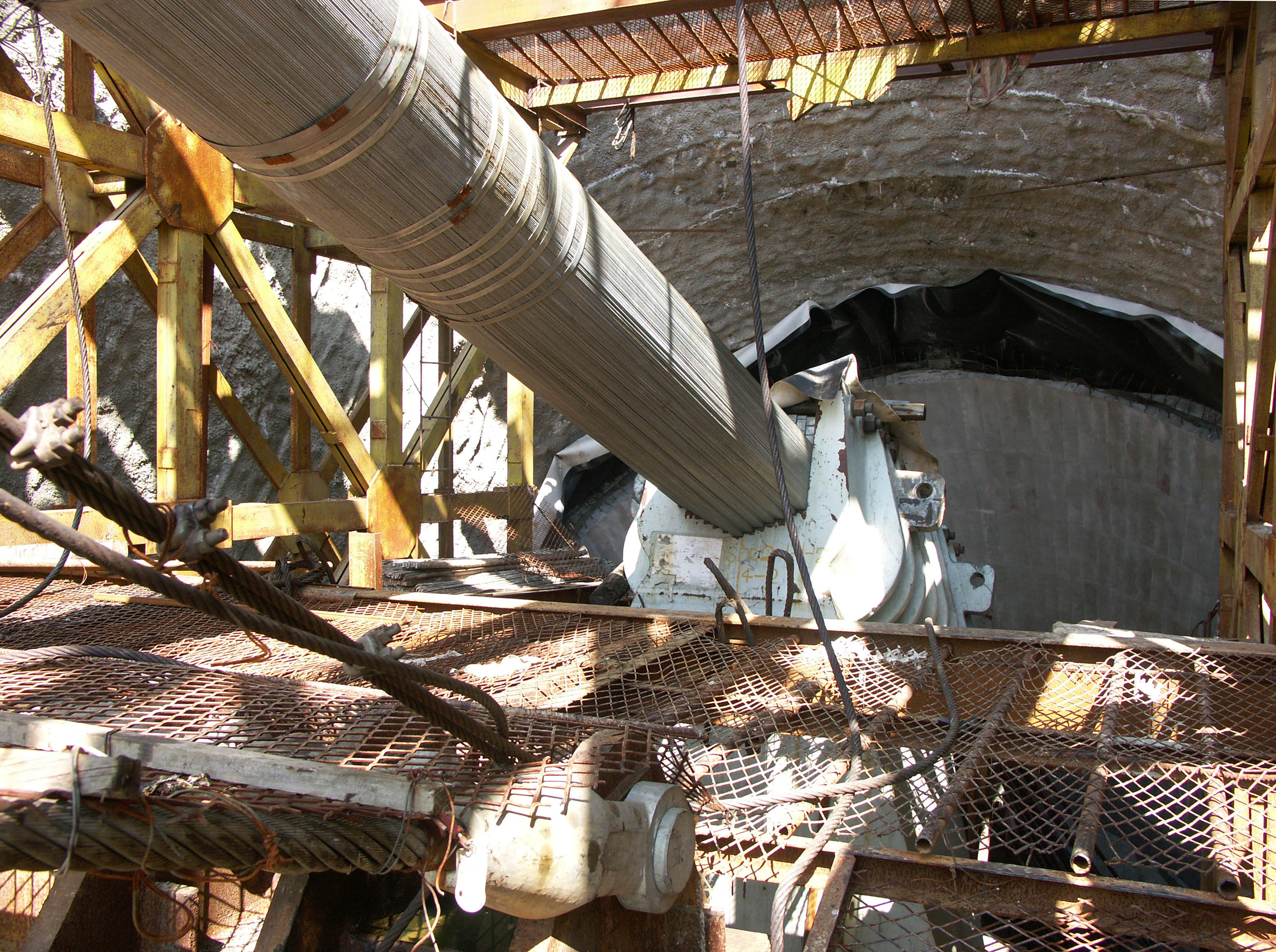
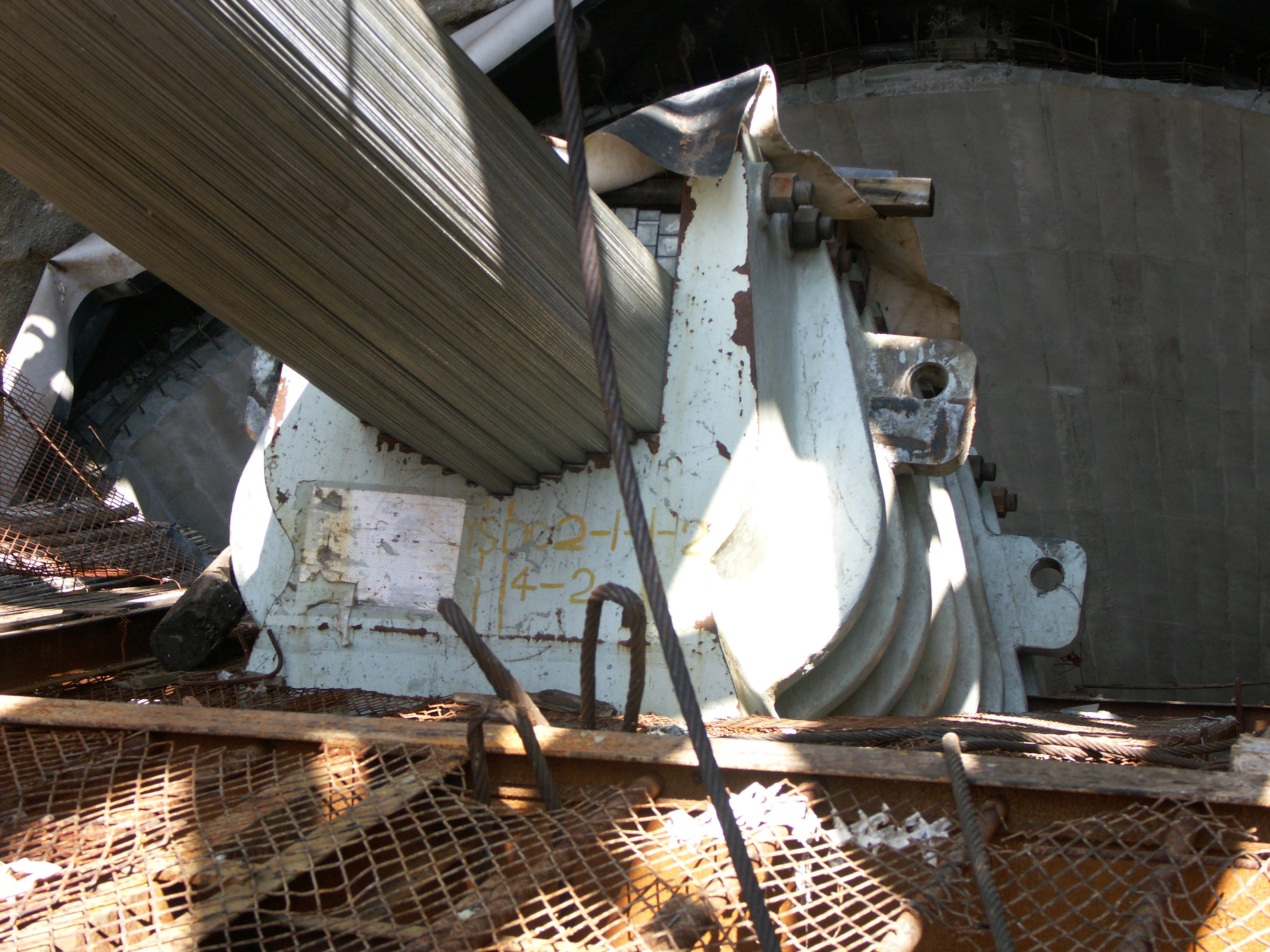
The main cables are anchored within a deep mountain tunnel. Image by Eric Sakowski / HighestBridges.com
A saddle holds the thousands of wire strands in a hexagon shape. The process of suspension bridge construction has changed very little over the last 75 years. Image by Eric Sakowski / HighestBridges.com
Image by Eric Sakowski / HighestBridges.com
The wires are grouped in bundles that descend more than 130 feet (40 meters) underground. Image by Eric Sakowski / HighestBridges.com
Image by Georges.
Image by Eric Sakowski / HighestBridges.com
Image by Eric Sakowski / HighestBridges.com
Image by Eric Sakowski / HighestBridges.com
Image by Eric Sakowski / HighestBridges.com
Image by Eric Sakowski / HighestBridges.com
The main span is slightly longer than the Tacoma Narrows bridge in the U.S. state of Washington. Image by Eric Sakowski / HighestBridges.com
Image by Eric Sakowski / HighestBridges.com
Image by Eric Sakowski / HighestBridges.com
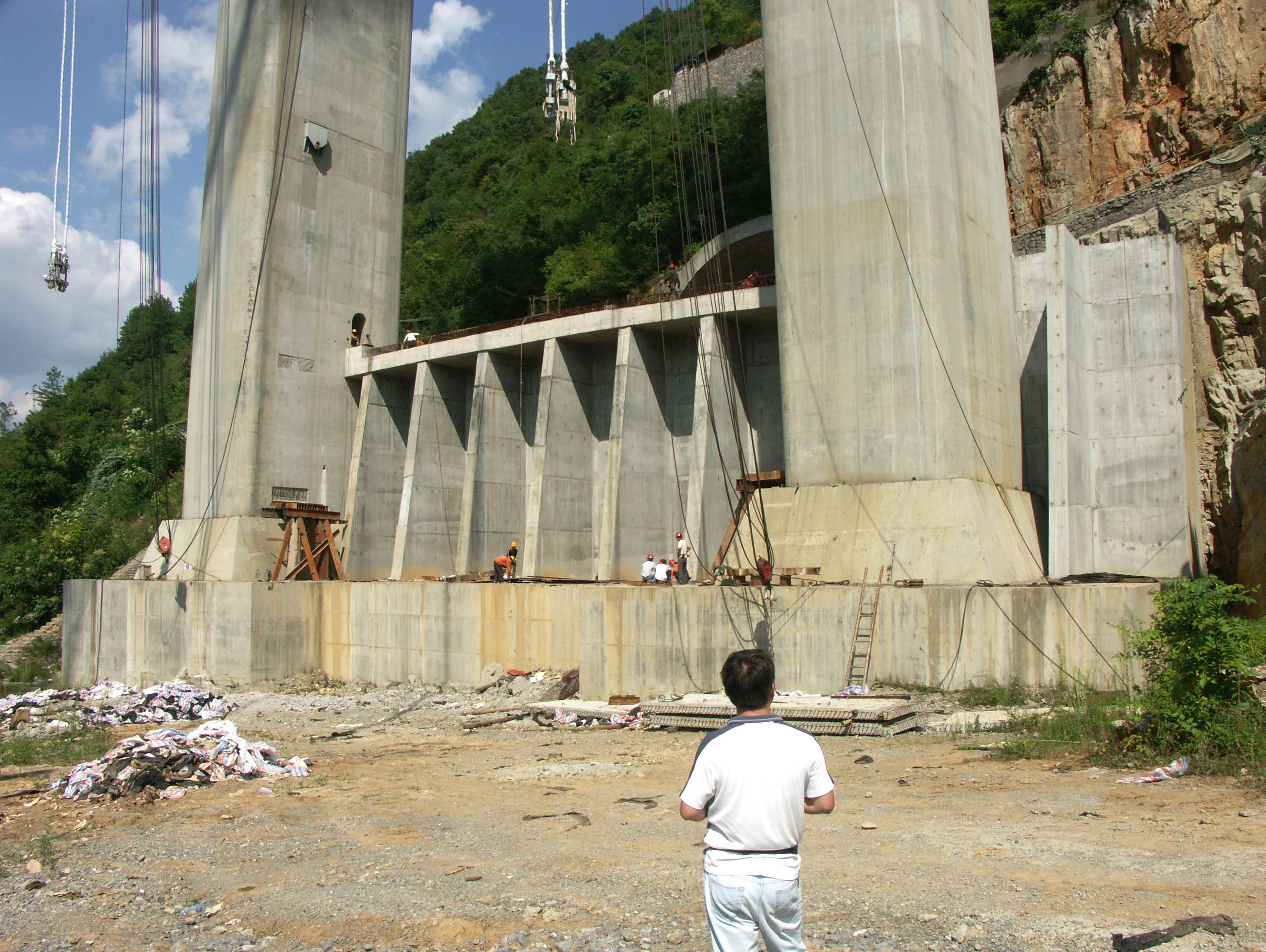
A construction view from 2008. Image by Eric Sakowski / HighestBridges.com
The tower in 2011 with bridge photographer Georges. Image by Eric Sakowski / HighestBridges.com
Image by Richard Scott.
A large pipeline bridge frames up another striking view of the Siduhe Bridge. Image by Bruce Lee.
The east Siduhe Bridge anchorage terminates into a deep mountain tunnel. Image by John Morrison.
Image by John Morrison.
Image by Richard Scott.
A construction view of the bridge and gorge from 2008. Image by Eric Sakowski / HighestBridges.com
A similar view from 2011. Image by Eric Sakowski / HighestBridges.com
Image by Eric Sakowski / HighestBridges.com
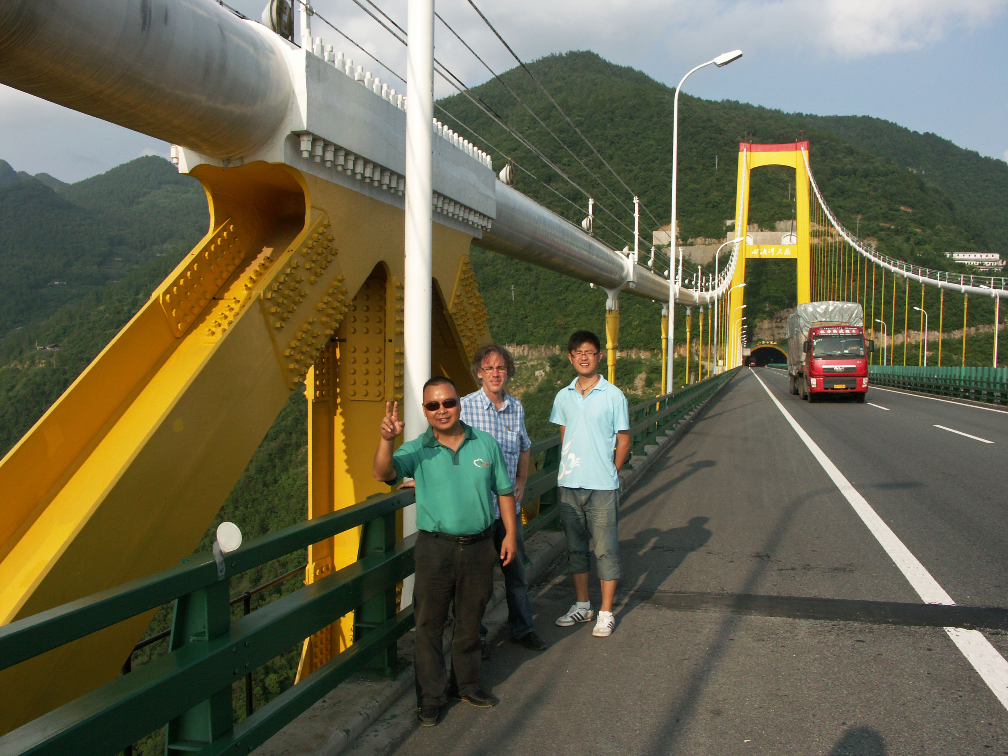
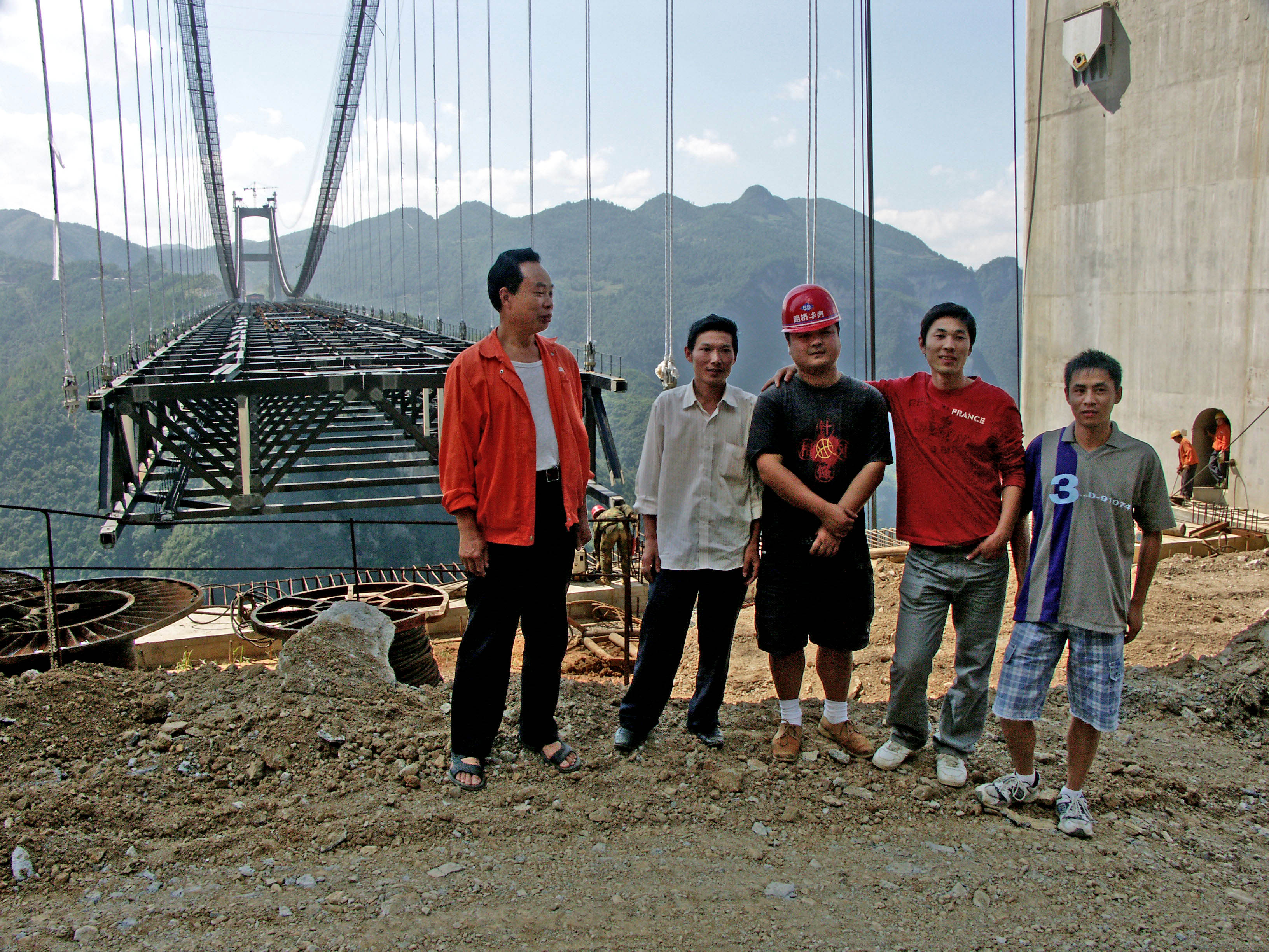
A group photo from our 2011 trip with Interpreter Ian Chen and driver Mr. Chen. Image by Eric Sakowski / HighestBridges.com
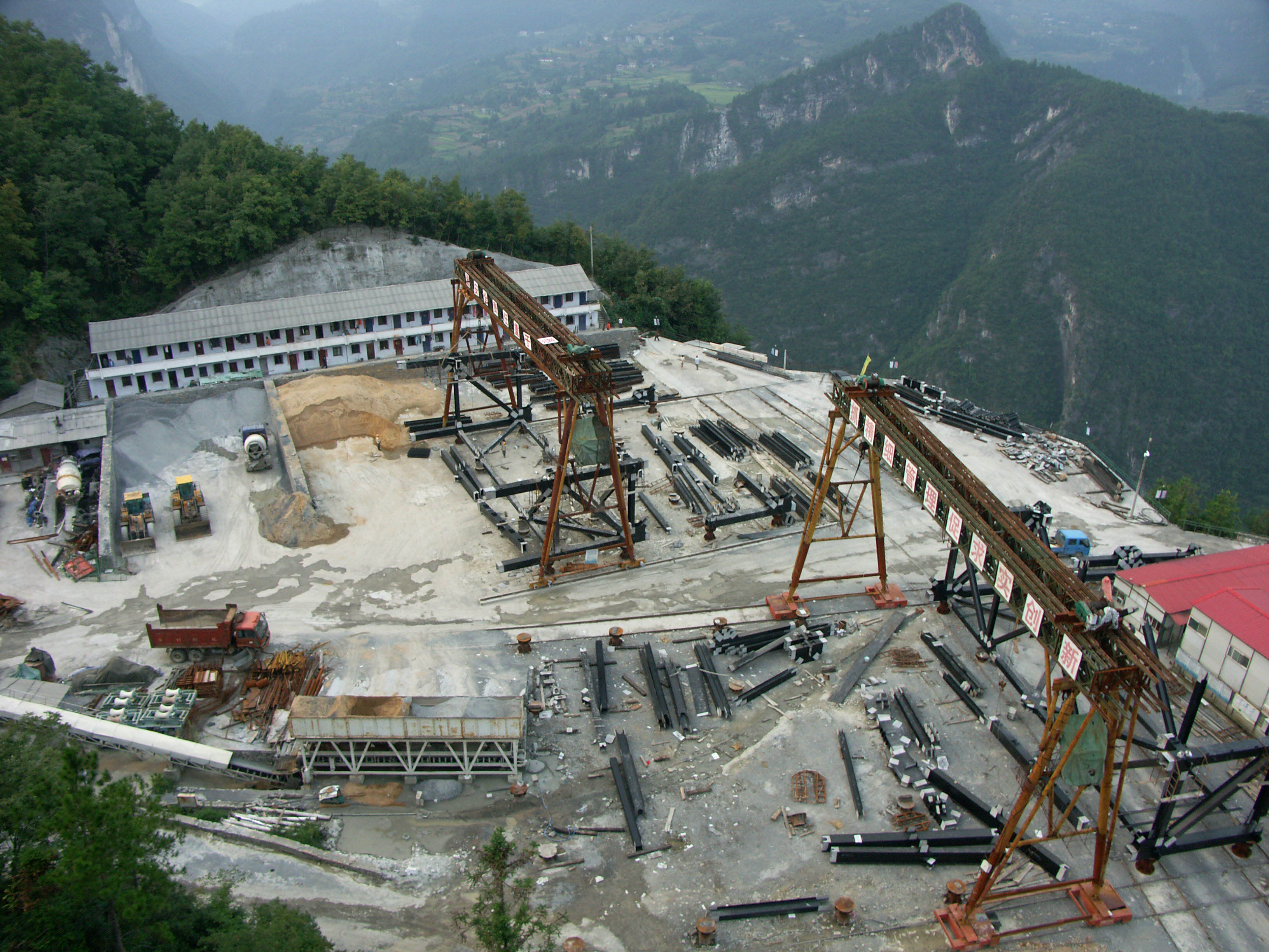
Truss assembly staging area in 2008 near the west tower. Image by Eric Sakowski / HighestBridges.com
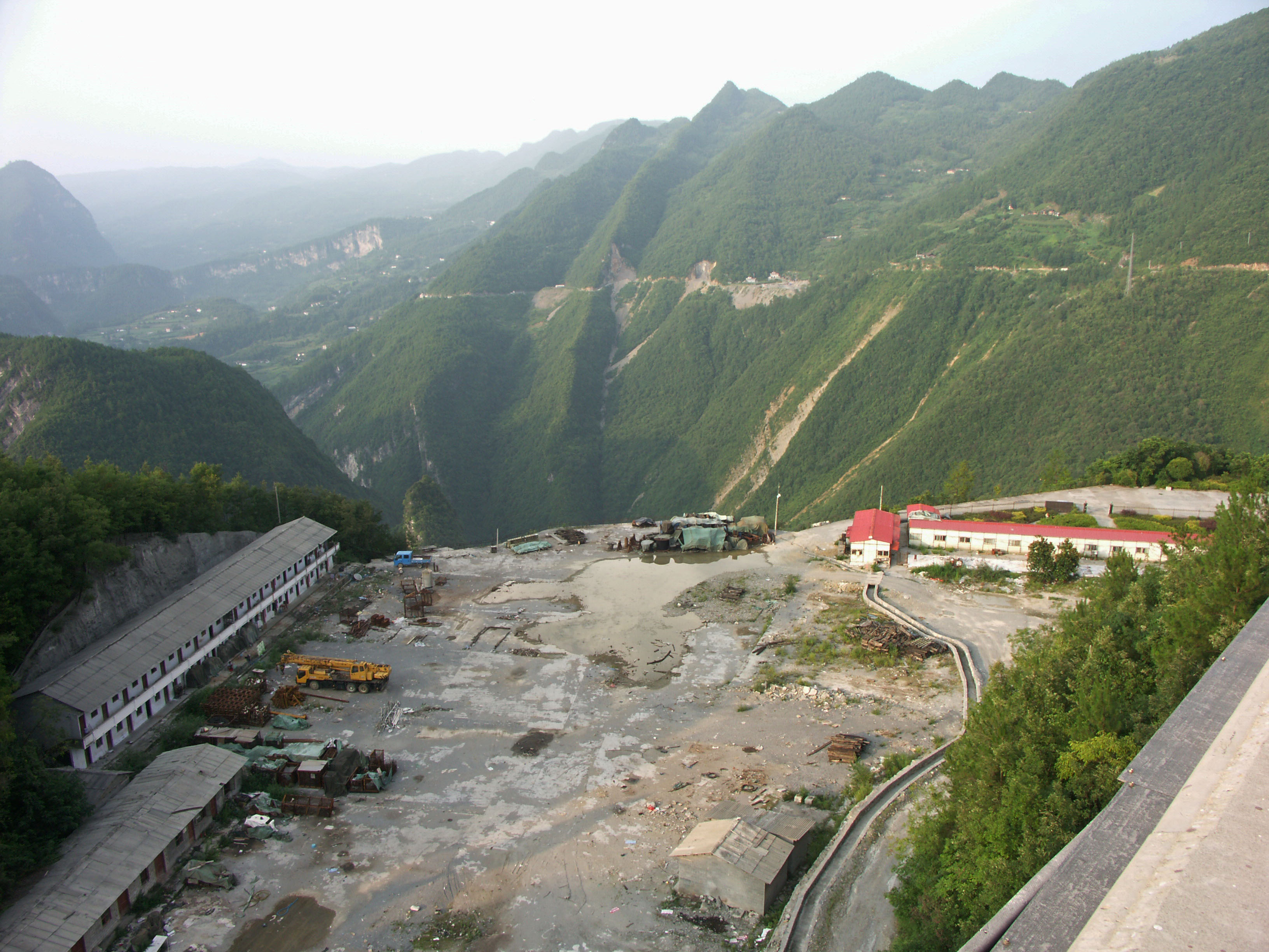
The staging area in 2011 showing the abandoned buildings that once housed dozens of bridge workers. Image by Eric Sakowski / HighestBridges.com
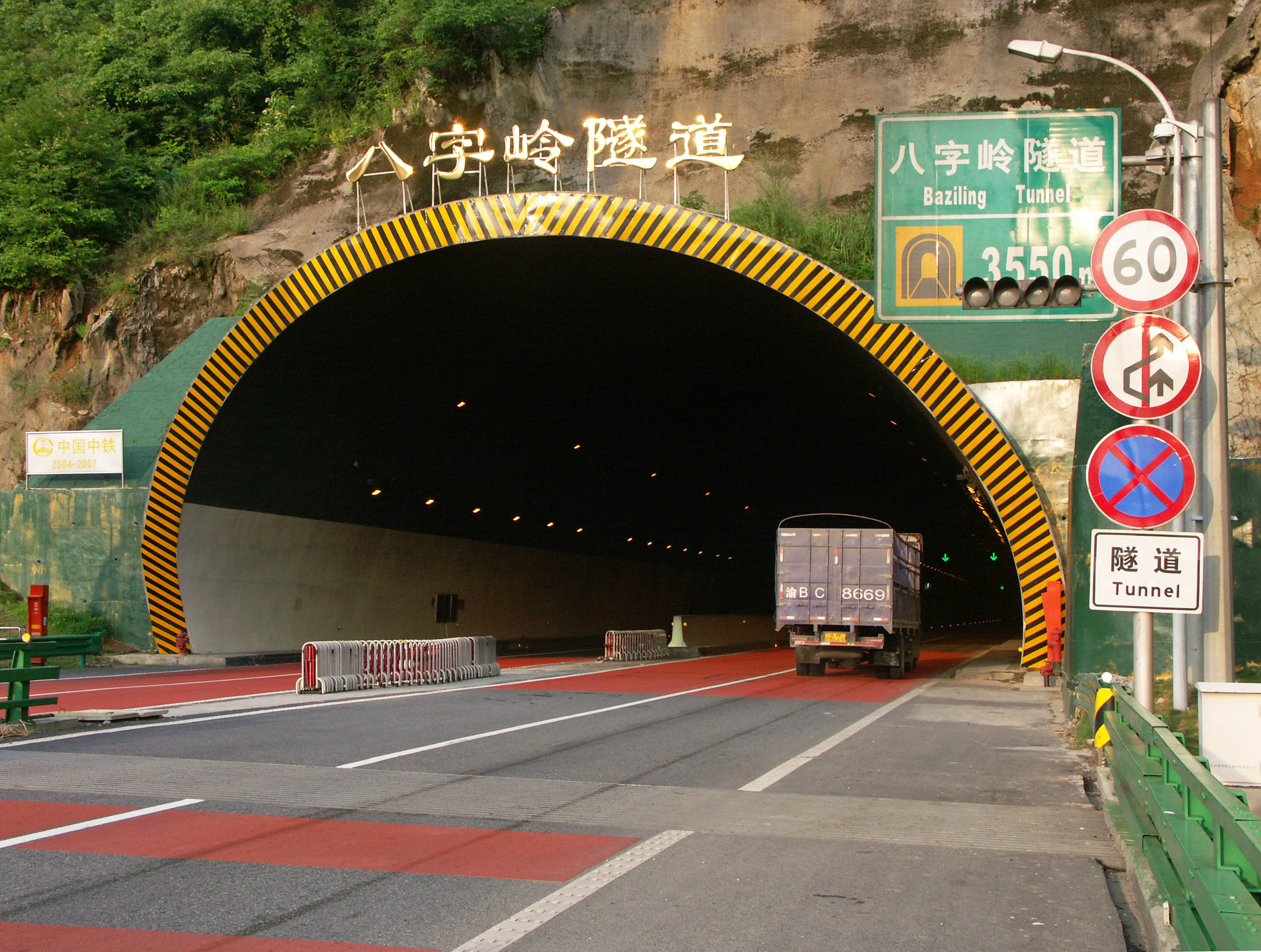
The West entrance of the 3,550 meter / 2.2 mile long Baziling tunnel. Image by Eric Sakowski / HighestBridges.com
Baziling tunnel East entrance. Image by Eric Sakowski / HighestBridges.com
Several viaducts lead up to the East entrance of the 3,550 meter / 2.2 mile long Baziling tunnel. Image by Eric Sakowski / HighestBridges.com
Image by Eric Sakowski / HighestBridges.com
Image by Eric Sakowski / HighestBridges.com
Image by Eric Sakowski / HighestBridges.com
Siduhe River gorge in 2008 before construction began on a downstream dam. Image by Eric Sakowski / HighestBridges.com
A 2011 view of the dam construction site. The reservoir reduced the height of the deck from 496 to 466 meters when the reservoir is full. Image by Eric Sakowski / HighestBridges.com
Image by Eric Sakowski / HighestBridges.com
Siduhe Dam in 2013. Image by Eric Sakowski / HighestBridges.com
Image by Eric Sakowski / HighestBridges.com
Image by John Filmer.
Image by Eric Sakowski / HighestBridges.com
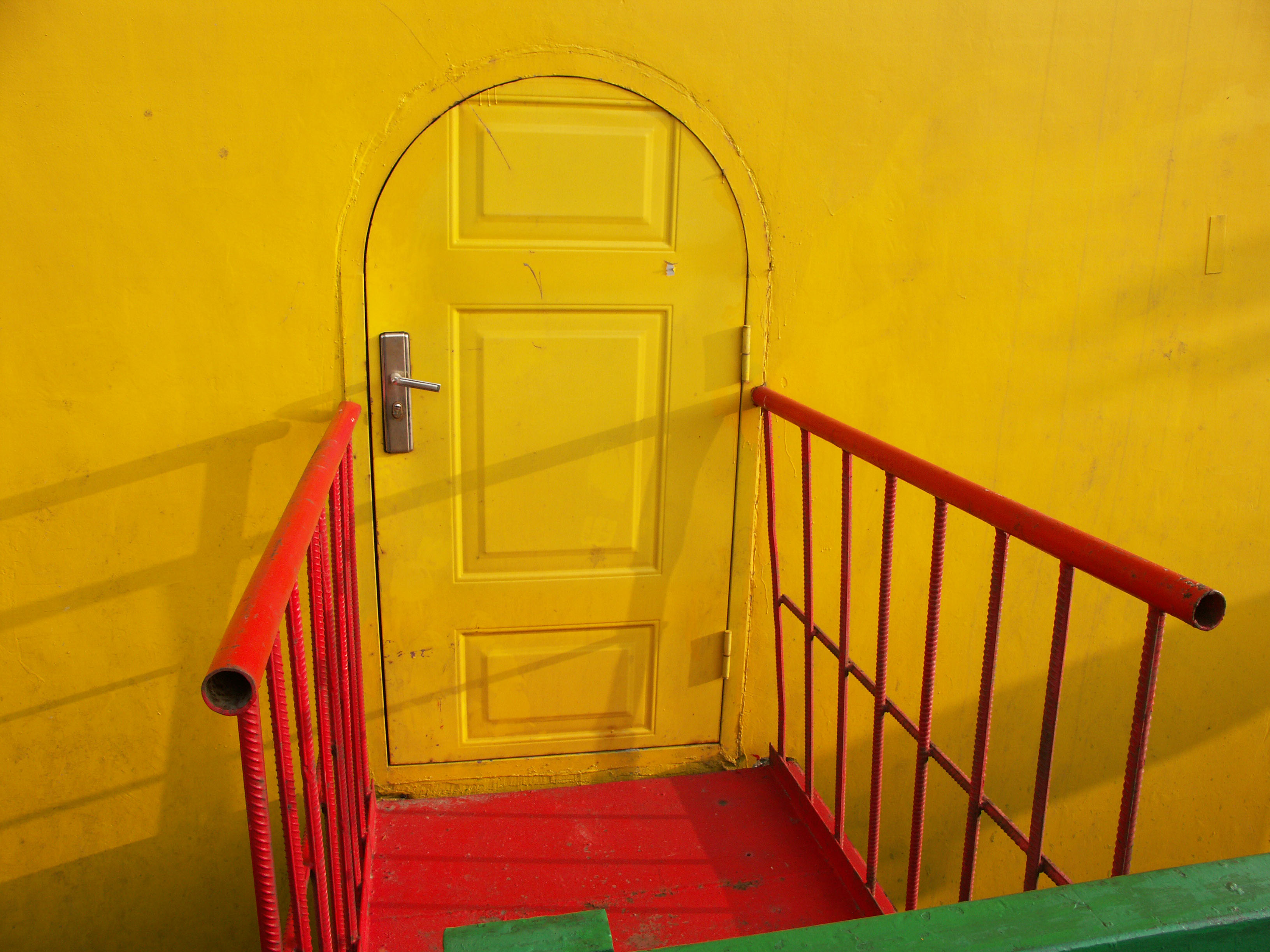
A stylish tower access door! Image by Eric Sakowski / HighestBridges.com
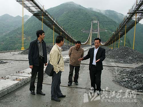
Image by www.cjbd.com.cn
Image by Eric Sakowski / HighestBridges.com
Image by Hubei Government
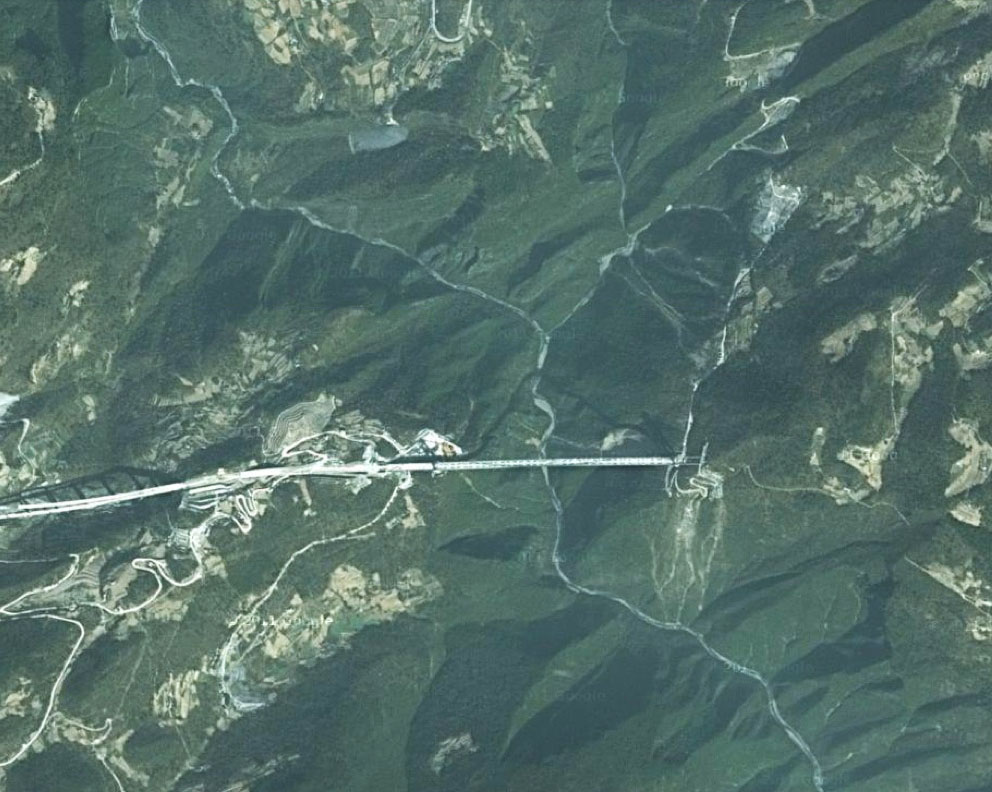
Siduhe Bridge satellite image with the Shuinan Viaduct on the left side.
Siduhe Bridge wide satellite image with Shuinan and Siduhe on the left and Shuanghekou, Tieluoping and Longtanhe Bridges on the right. You can click in for a more detailed view.
Siduhe Bridge location map.
