Xicotepec Bridge
Xicotepec Bridge
Puente Xicotepec
Xicotepec de Juárez, Puebla, Mexico
328 feet high / 100 meters high
164 foot span / 50 meter span
2013
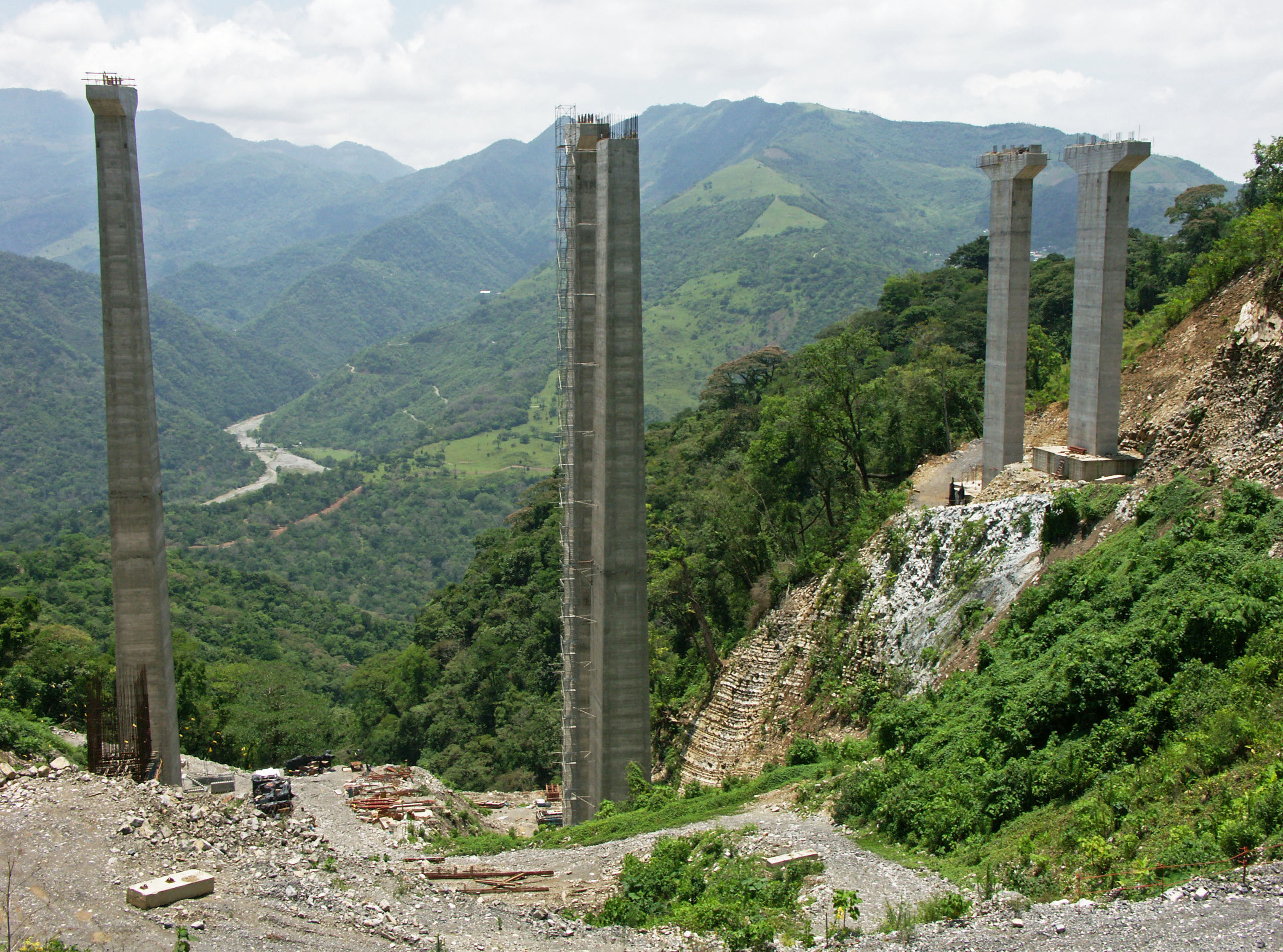
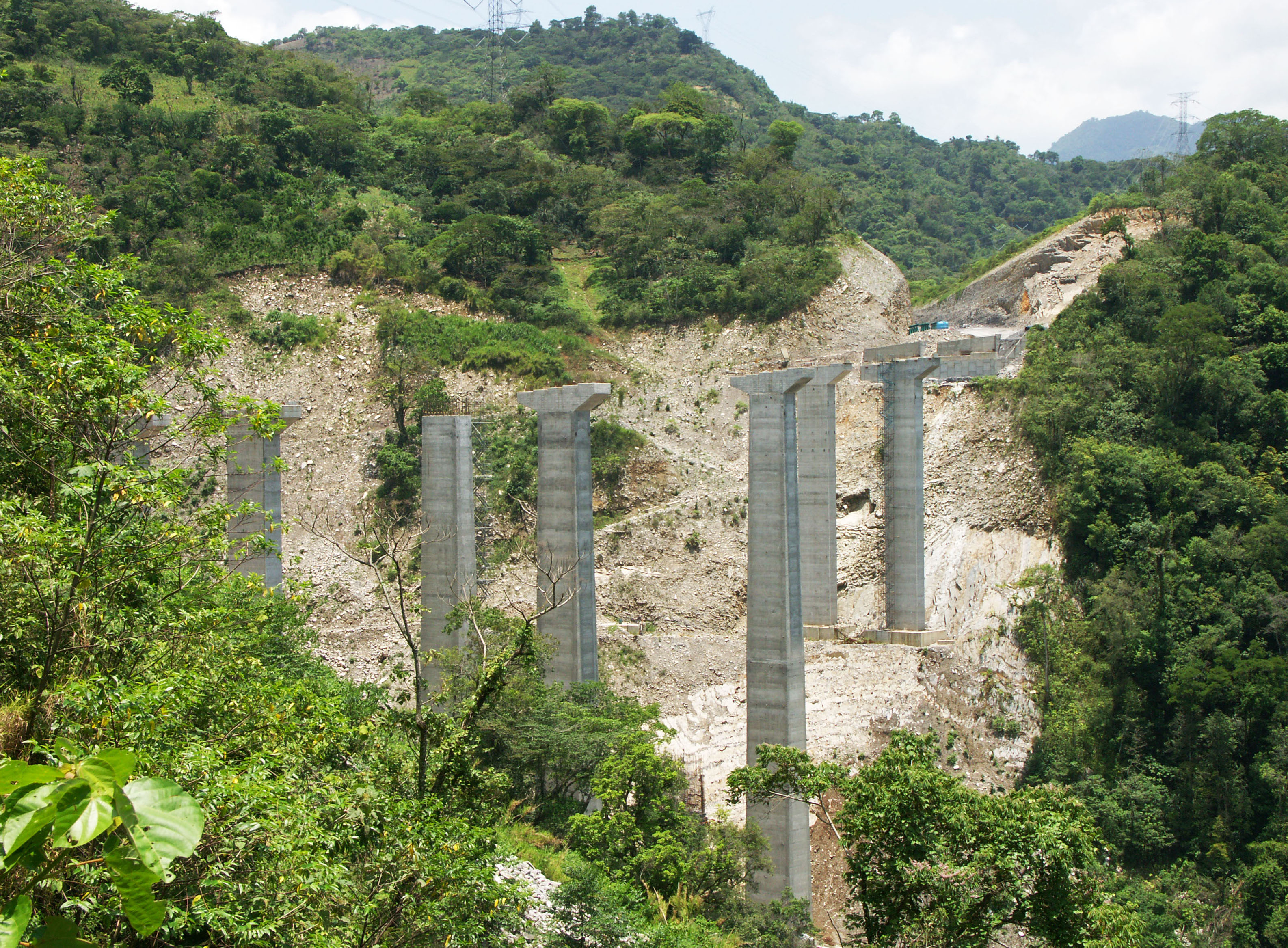
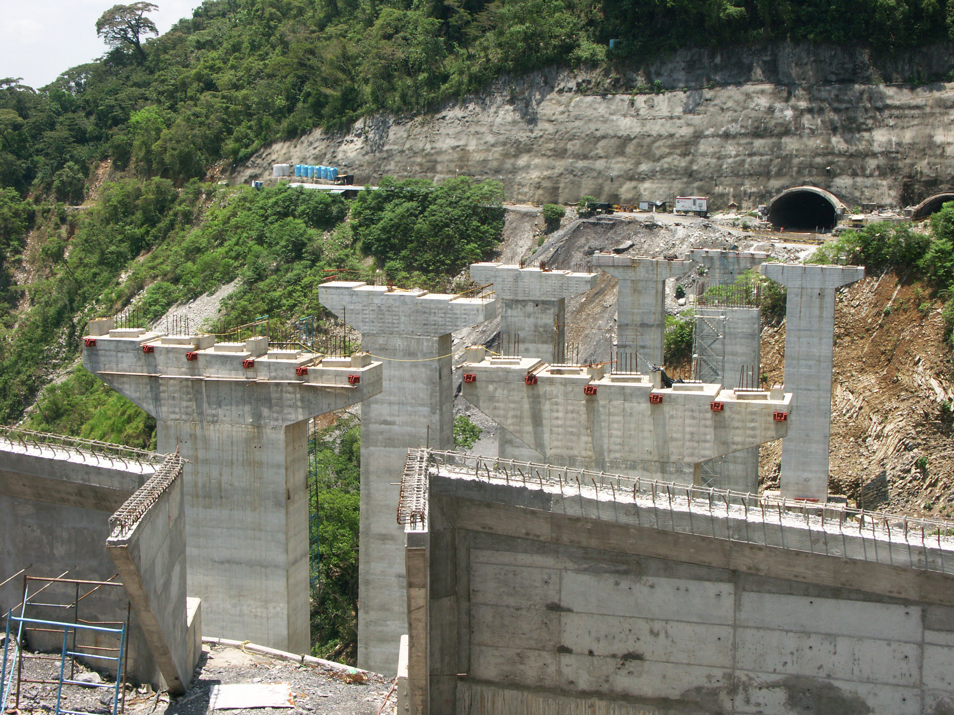
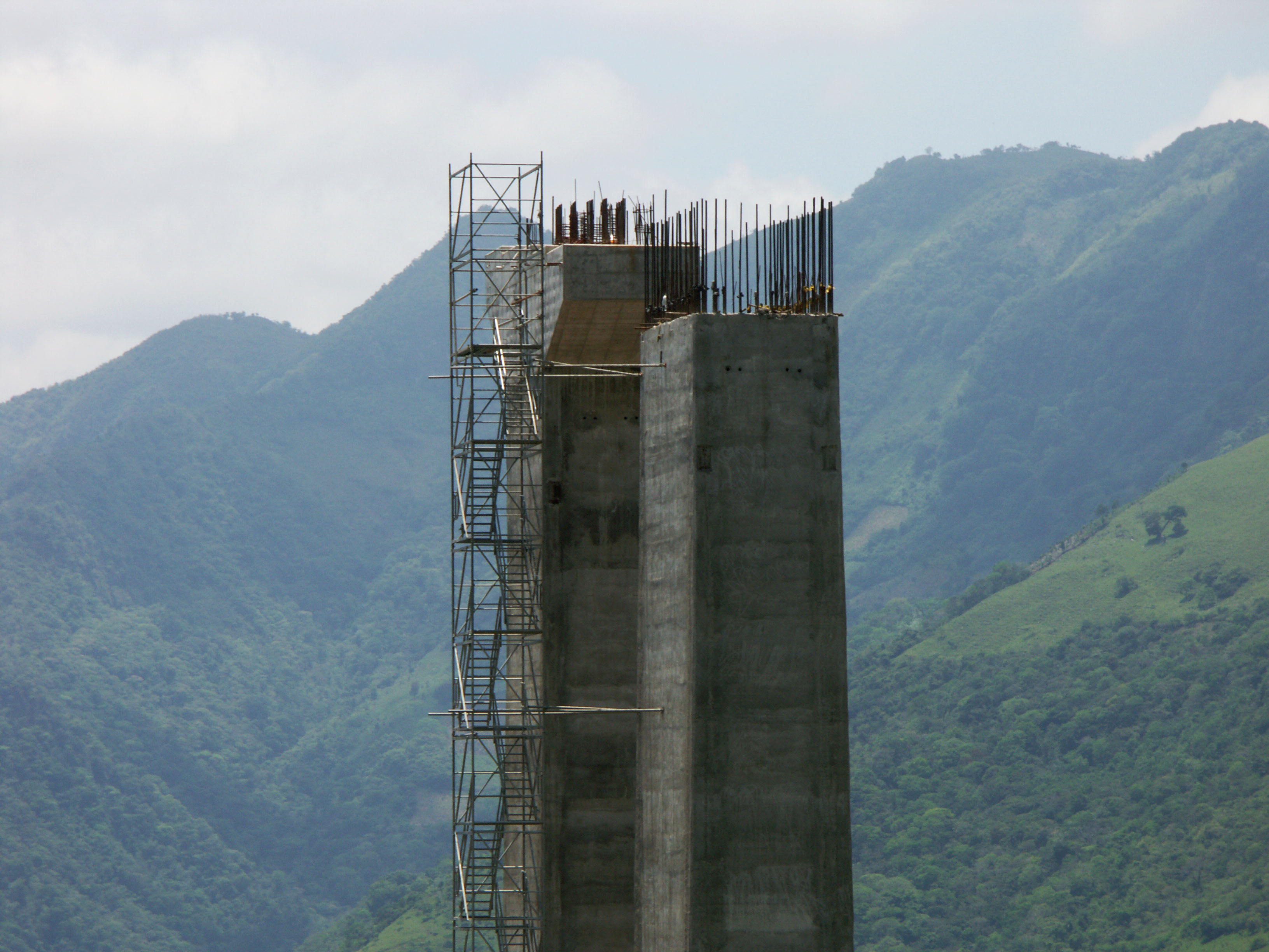
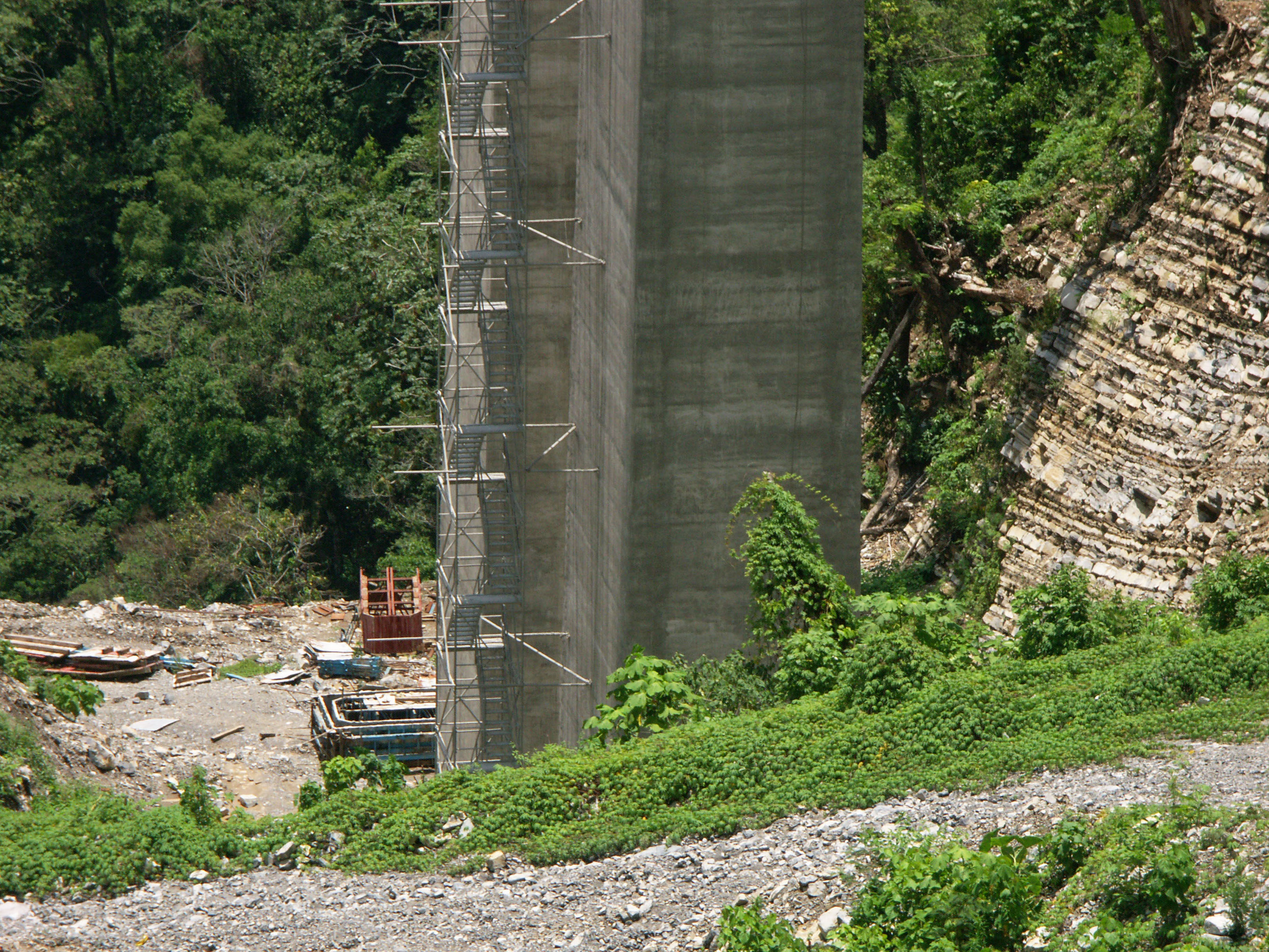
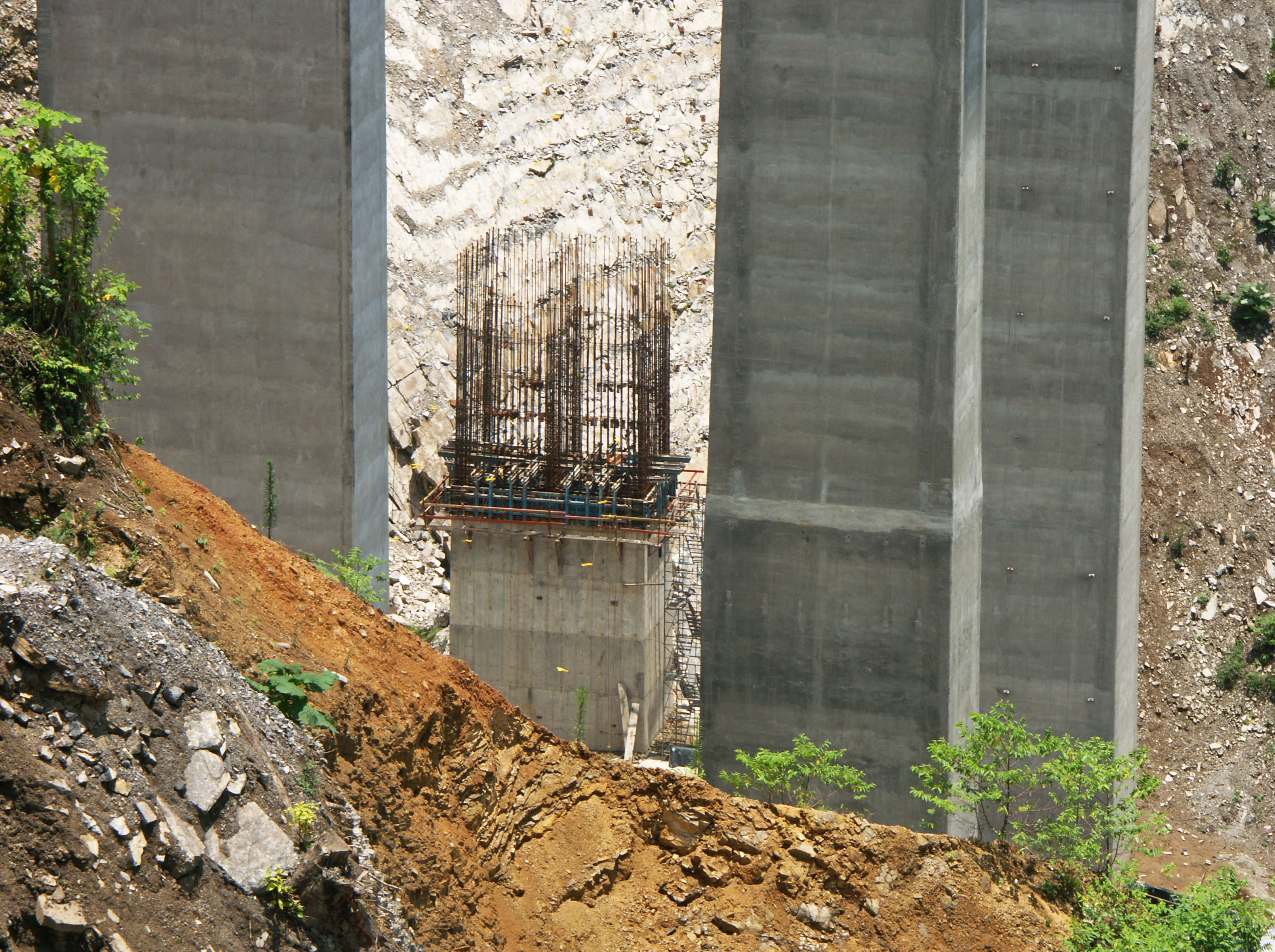
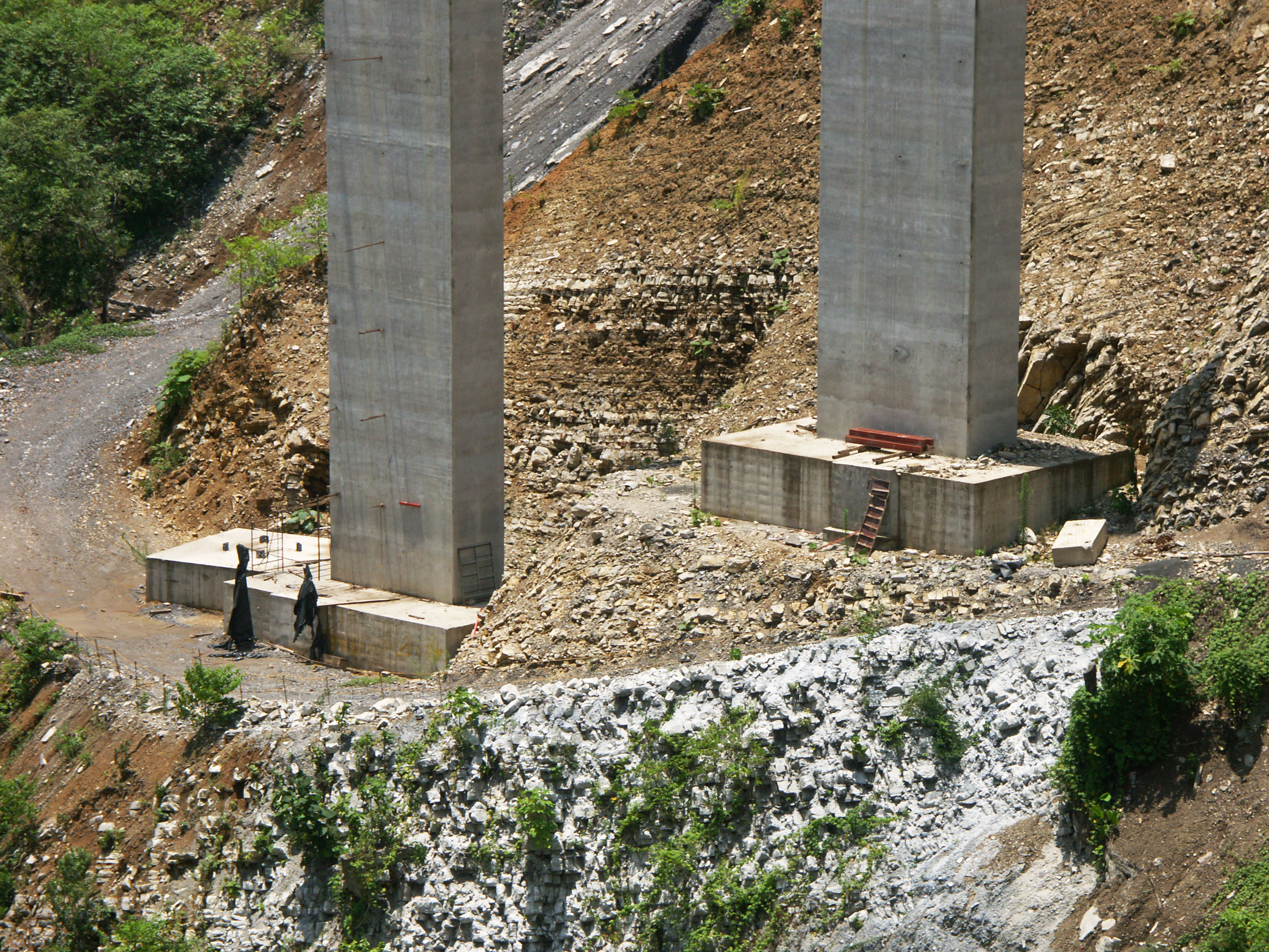
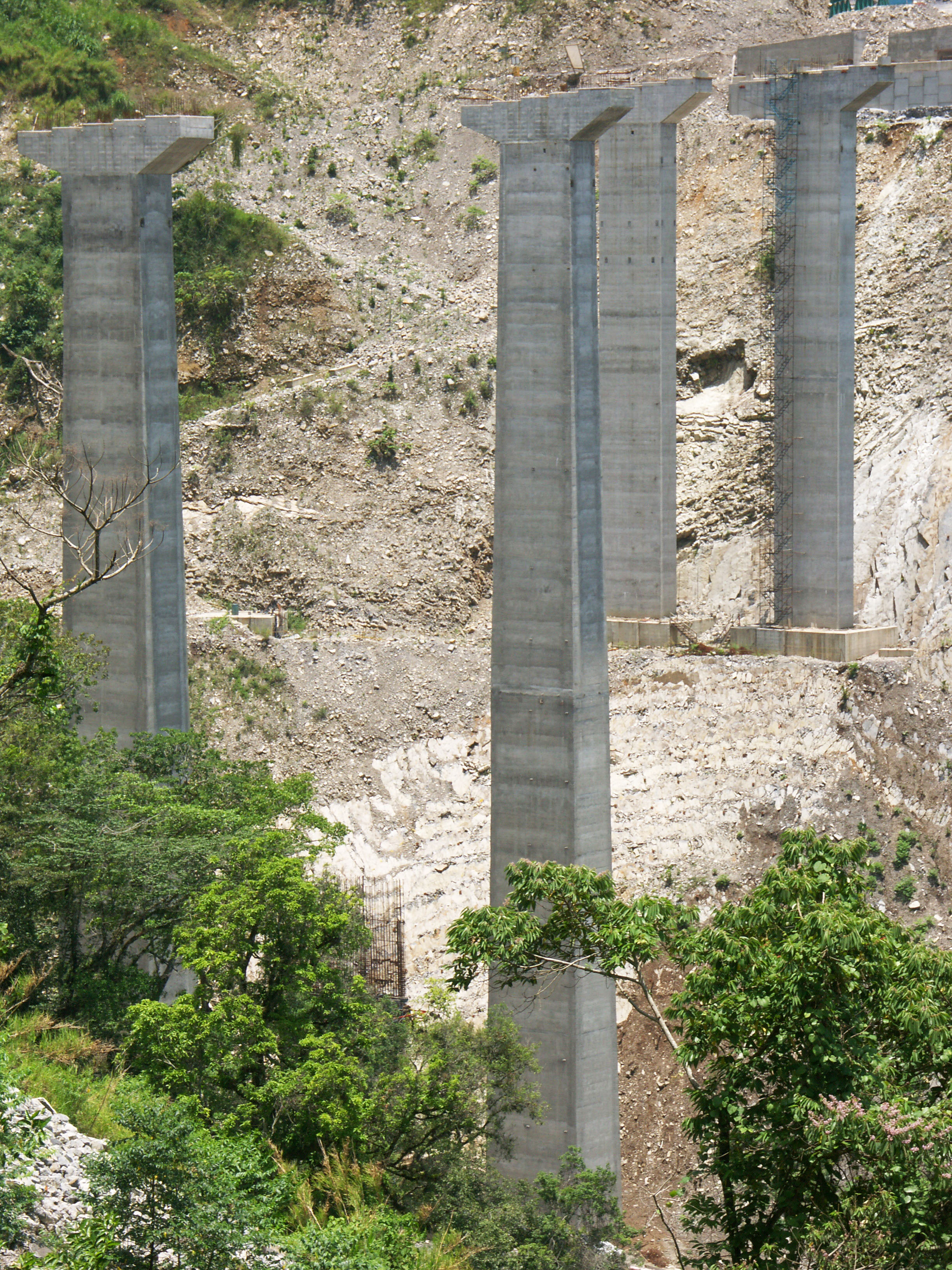
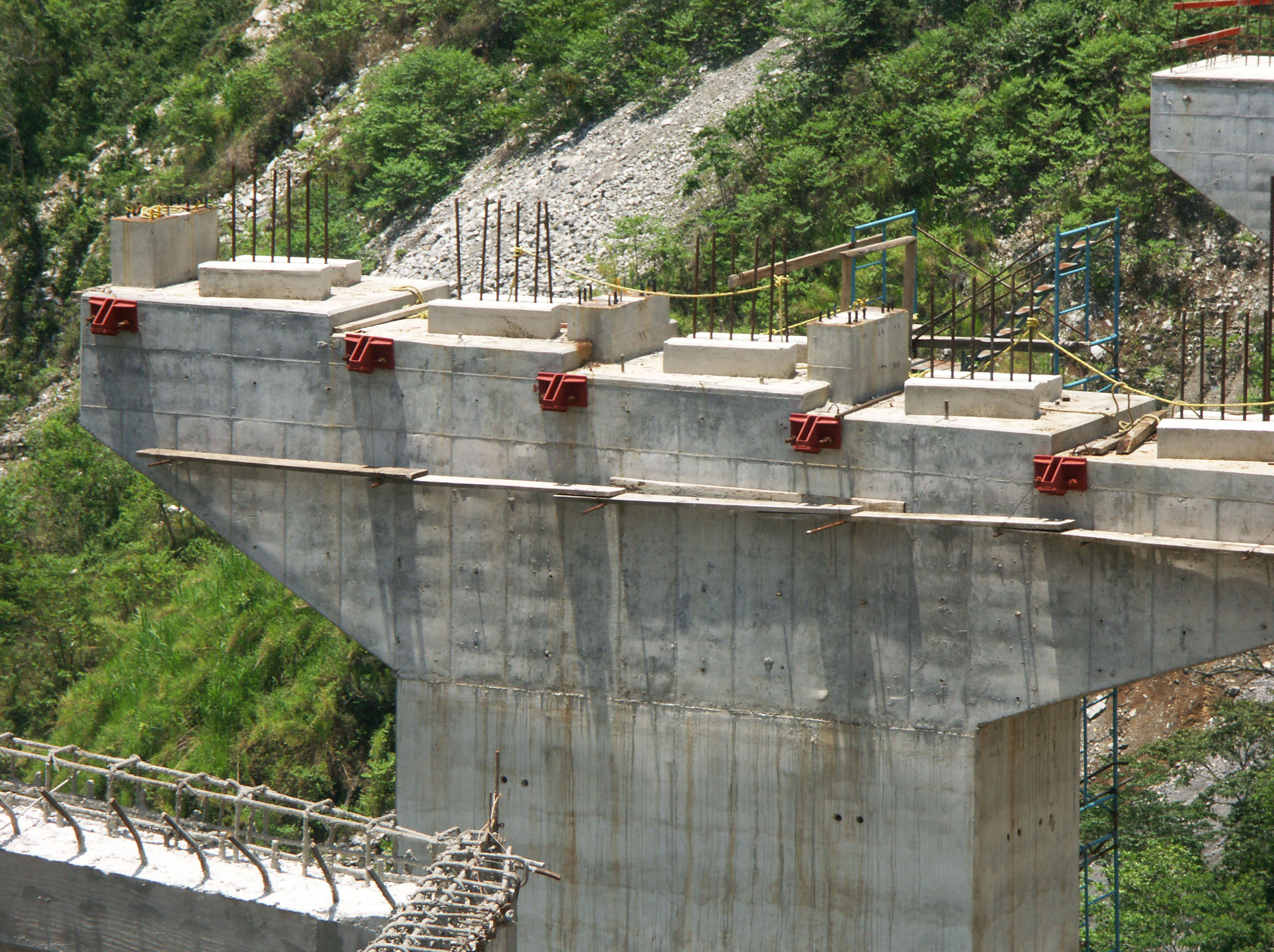
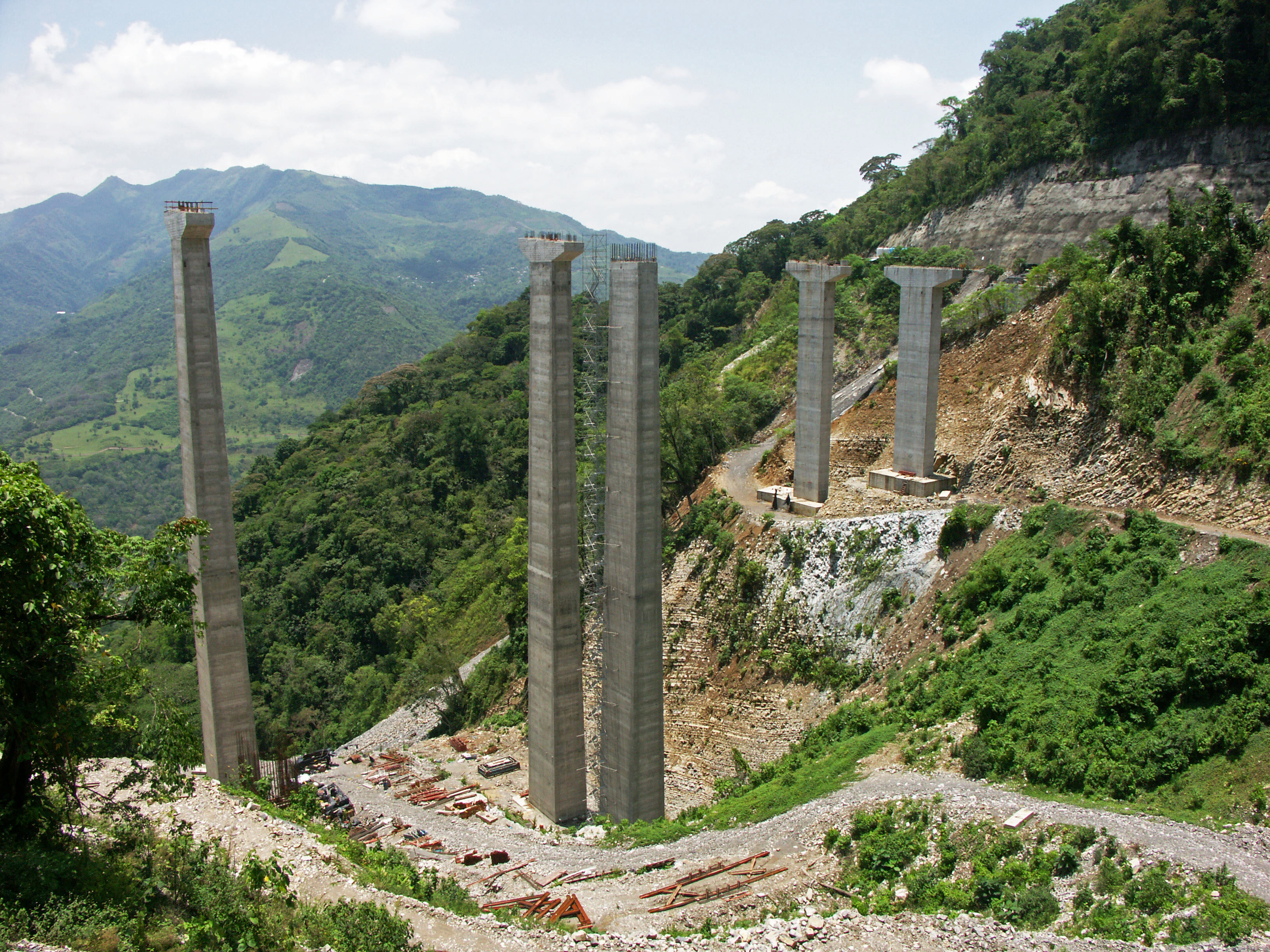
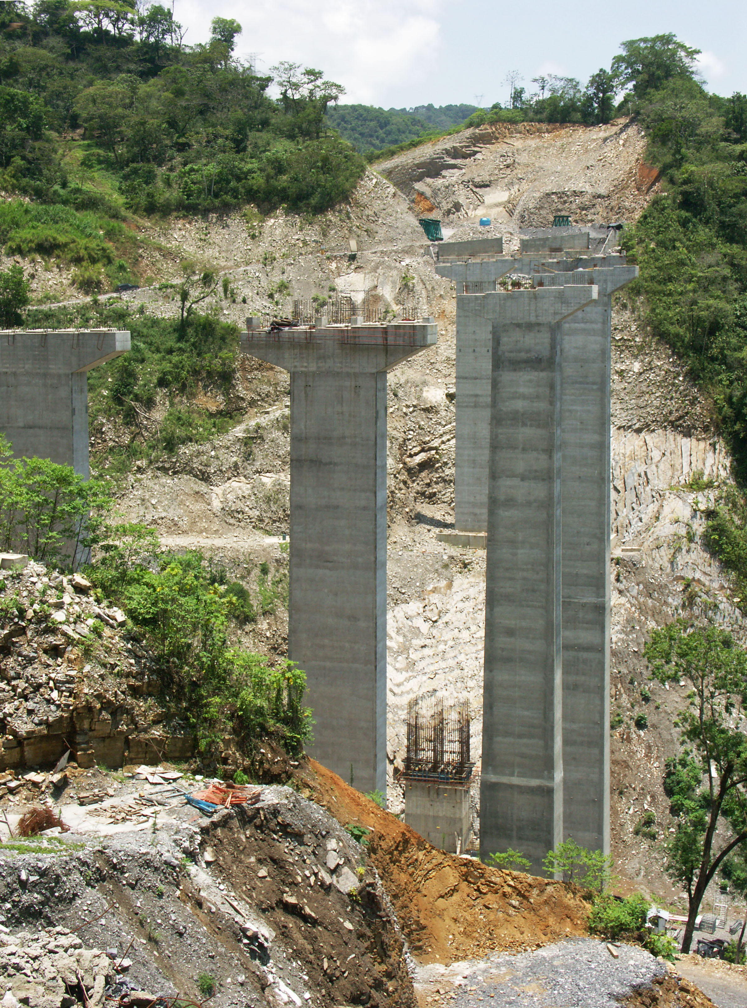
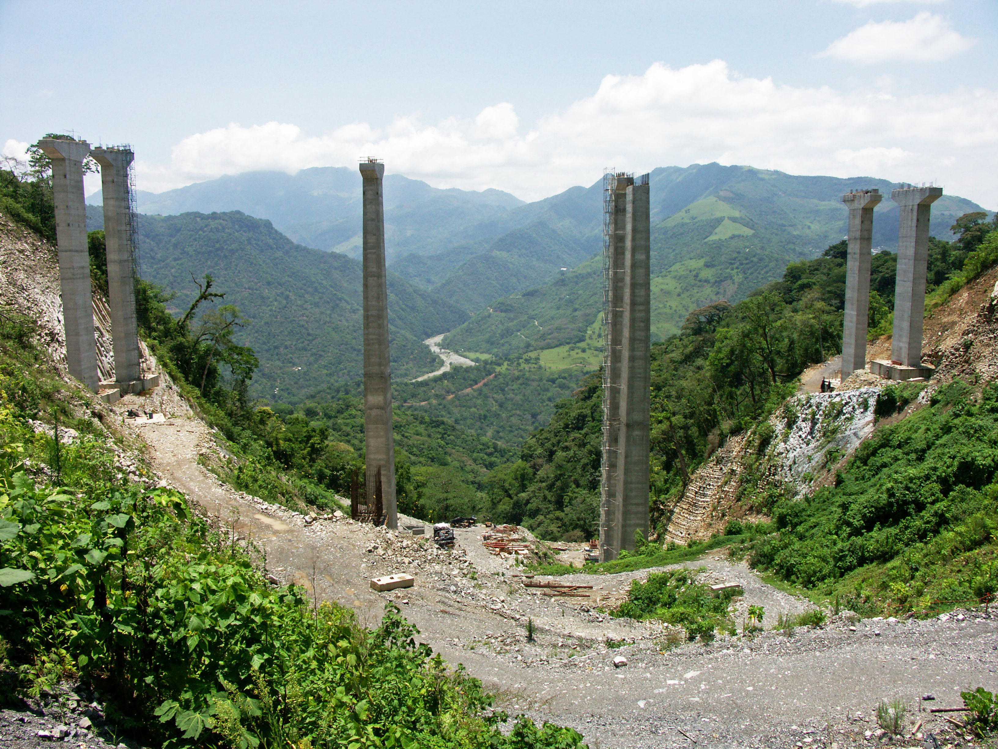
The third highest bridge on the Tuxpan-Mexico City highway now under construction, the Puente Xicotepec crosses a deep gully along the upper edges of the San Marcos River valley. The prestressed concrete beam bridge is located just 3 miles (5 kms) south of the gigantic San Marcos river bridge with its towering 682 foot (208 mtr) piers. Nearby Puente El Cantil is also high at 246 feet (75 mtr). Xicotepec Bridge is located at kilometer 857. The span configuration for the eastbound bridge is 41 + four spans of 50 + 41 meters. The shorter westbound bridge is the same but with just three central spans of 50 meters.
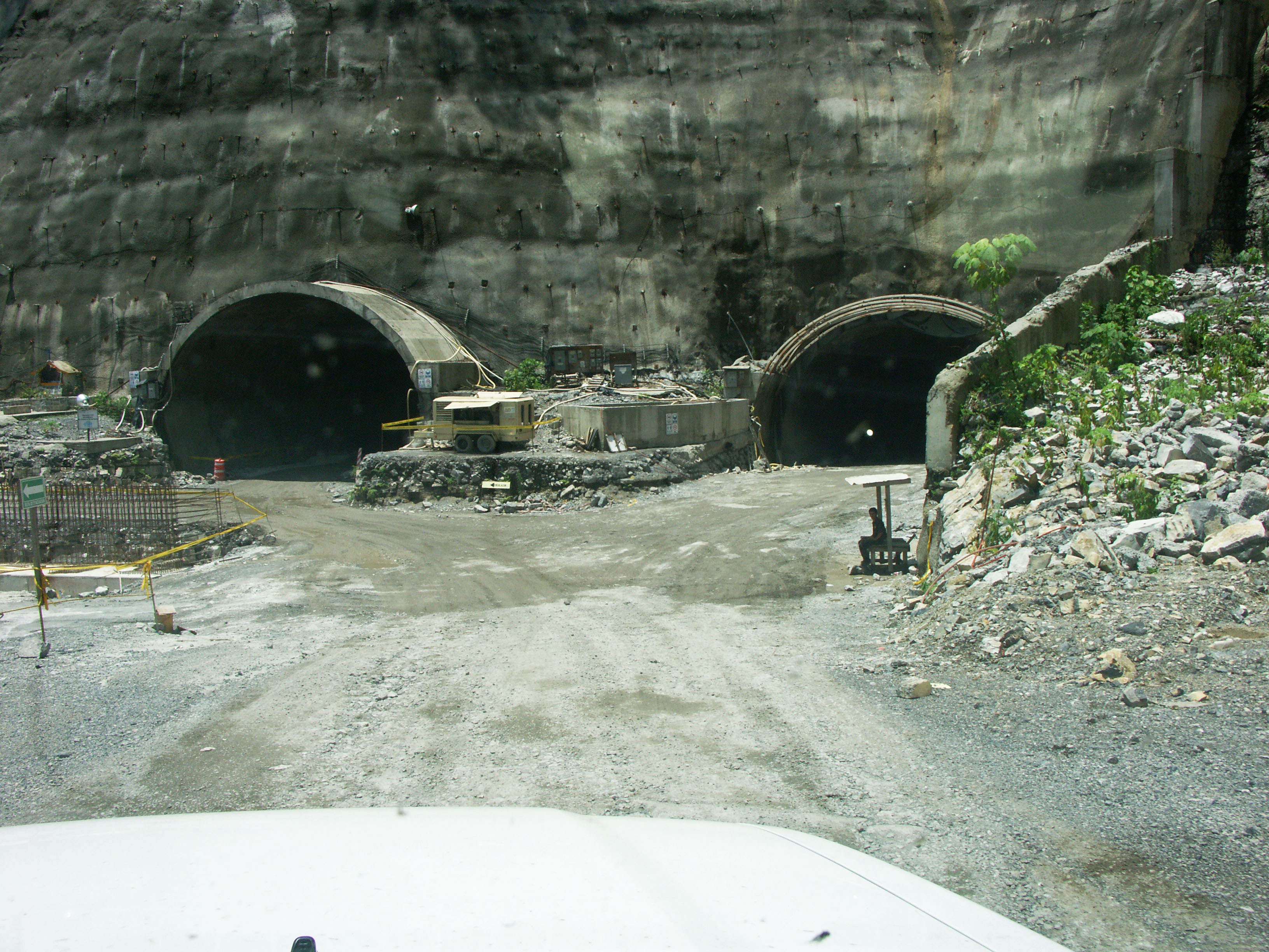
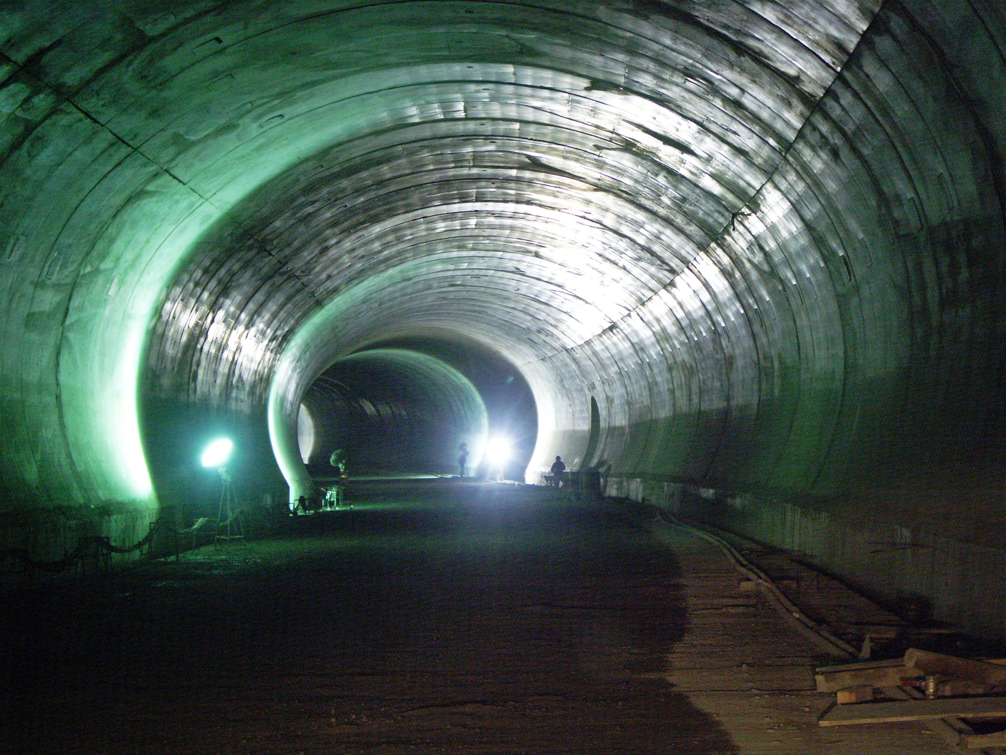
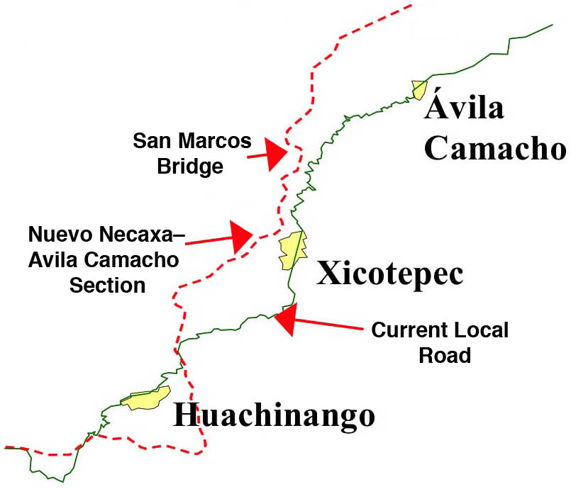
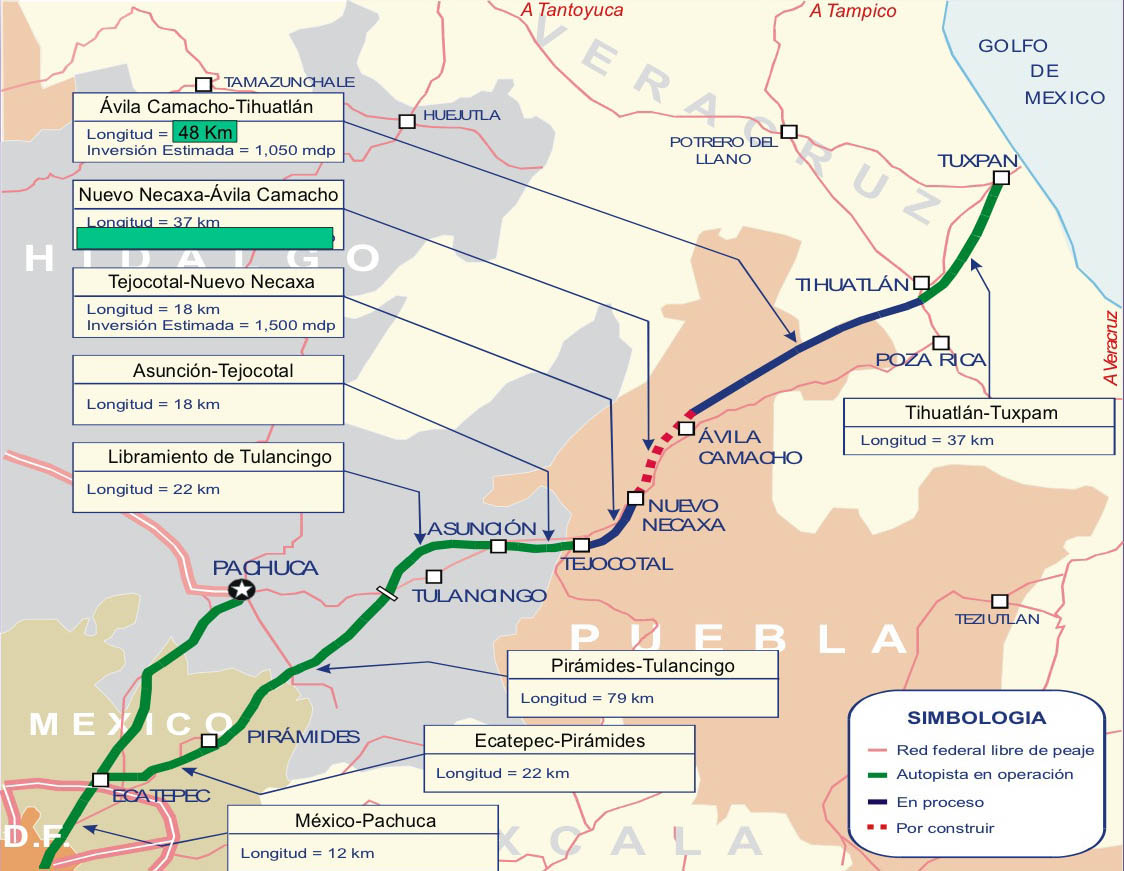
Puente Xicotepec is located within the central Nuevo Necaxa-Tihuatlán section of the México-Tuxpan highway. Extending from Mexico City to the Gulf of Mexico, the first and last thirds of the 182 mile (293 km) highway were finished in 2005. The difficulty in completing the highway lies in the central Nuevo Necaxa–Ávila Camacho section that runs for 23 miles (37 kms) along the mountainous San Marcos River gorge. To push the modern carretera through the steep terrain, the engineers constructed 6 tunnels and several high bridges. Three bridges exceed 100 meters in height including Xicotepec, Texcapa and San Marcos.
Image by Eric Sakowski / HighestBridges.com
Image by Eric Sakowski / HighestBridges.com
Image by Eric Sakowski / HighestBridges.com
Image by Eric Sakowski / HighestBridges.com
Image by Eric Sakowski / HighestBridges.com
Image by Eric Sakowski / HighestBridges.com
Image by Eric Sakowski / HighestBridges.com
Image by Eric Sakowski / HighestBridges.com
Image by Eric Sakowski / HighestBridges.com
Image by Eric Sakowski / HighestBridges.com
Image by Eric Sakowski / HighestBridges.com
Image by Eric Sakowski / HighestBridges.com
Image by Eric Sakowski / HighestBridges.com
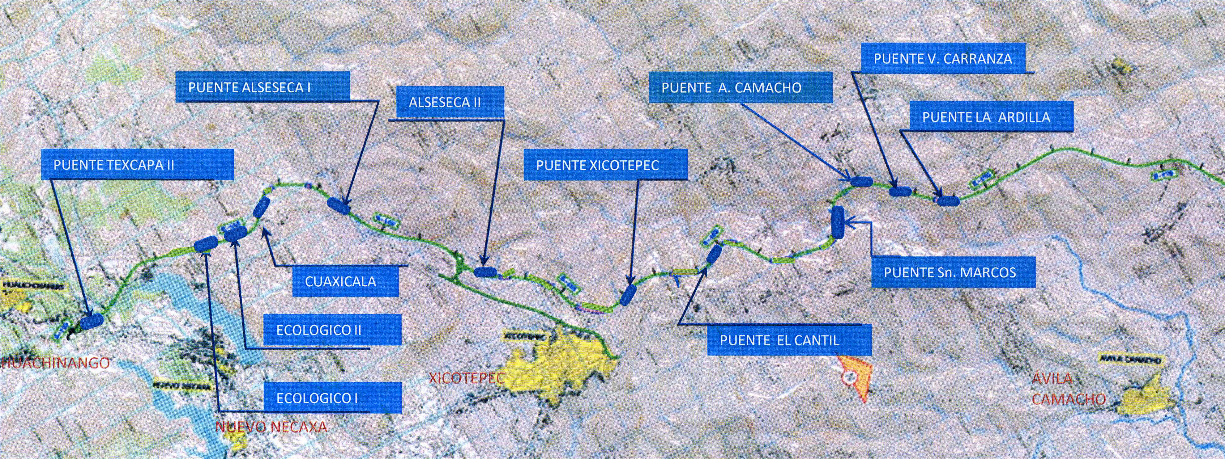
Map of Tuxpan highway bridges between kilometers 839 - 873.
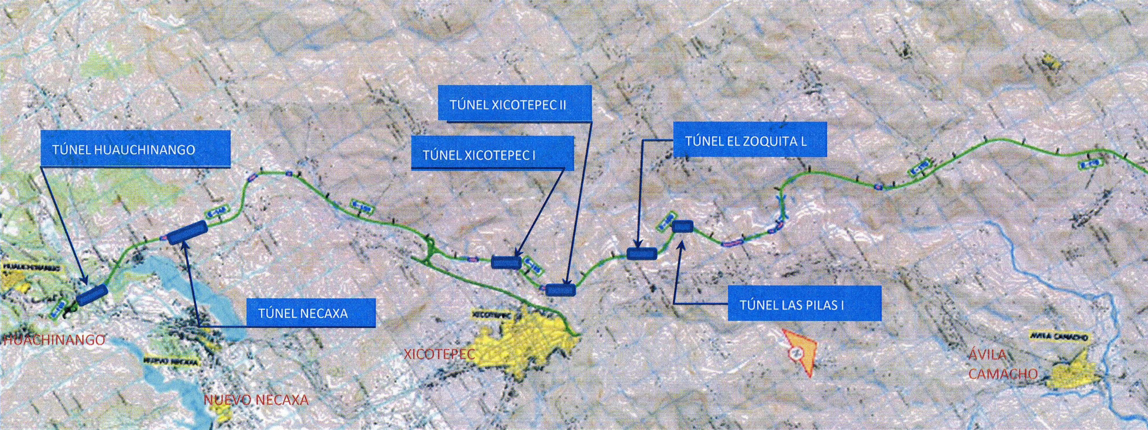
Map of Tuxpan highway tunnels between kilometers 839 - 873.
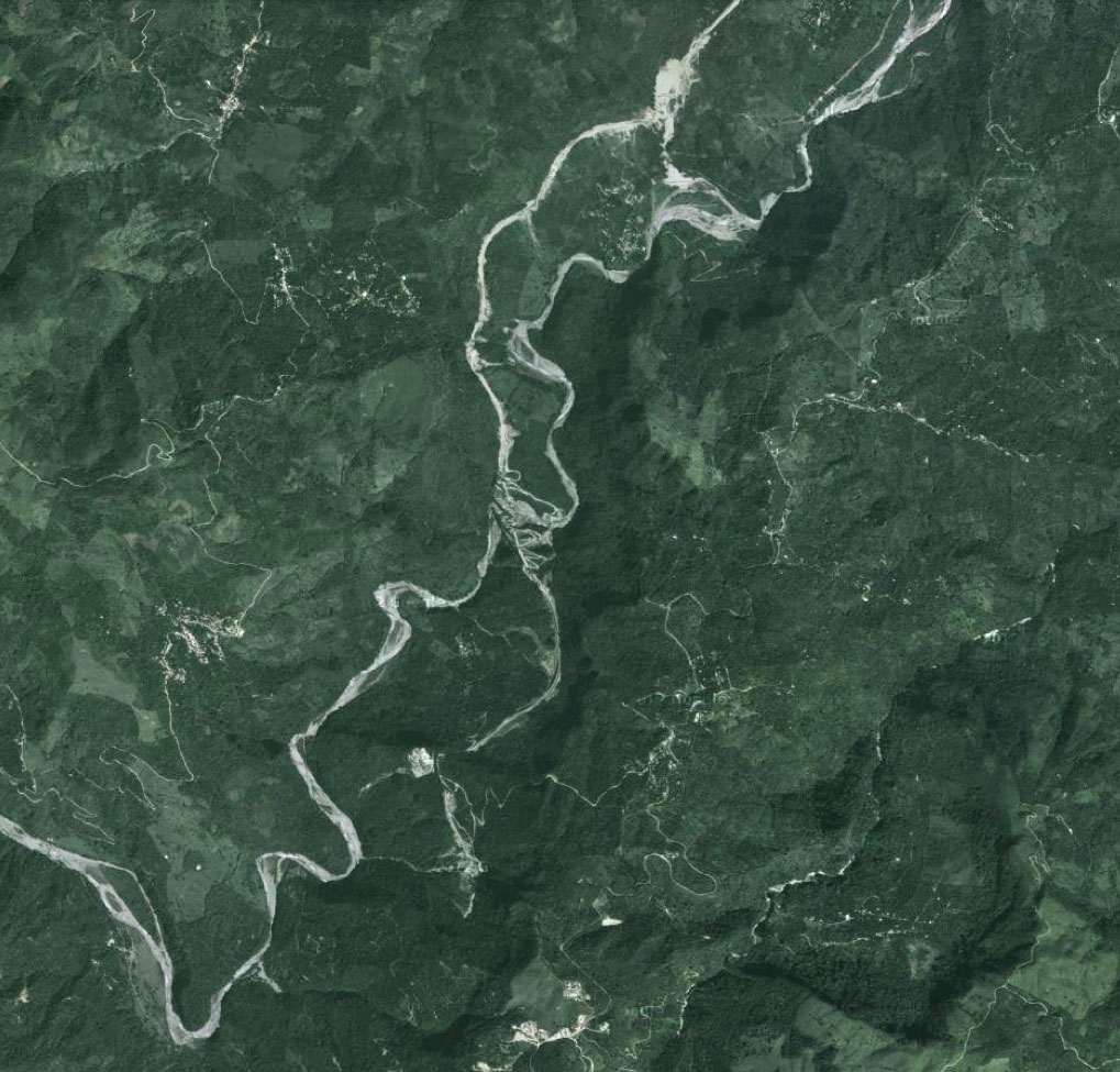
Satellite view of the deep gorge of the San Marcos River valley with the Xicotepec Bridge near the bottom and the San Marcos Bridge in the middle.
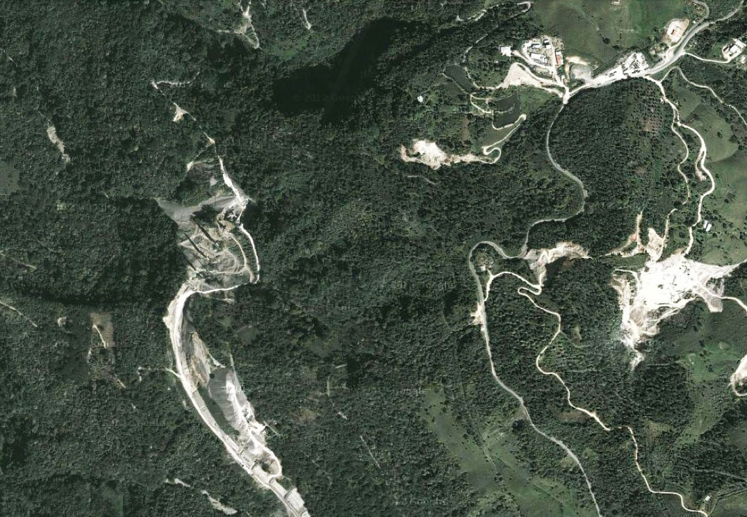
Xicotepec Bridge satellite view with the new bridge on the left and the old 2-lane highway on the right.
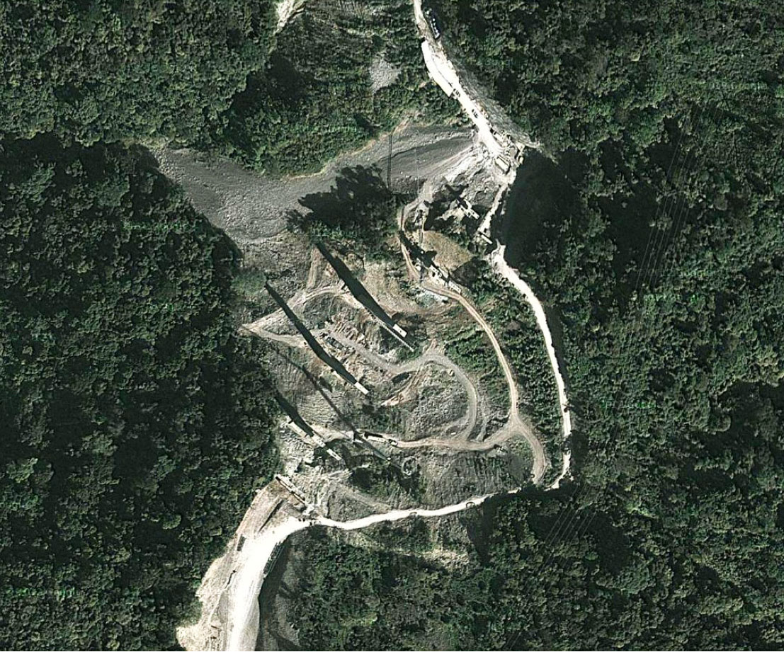
Xicotepec Bridge satellite image.
A map of the most difficult stretch of highway between Nuevo Necaxa and Ávila Camacho.
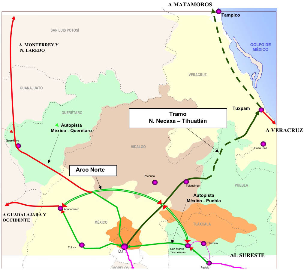
When completed, the México-Tuxpan highway will connect Mexico City with the Gulf of Mexico 182 miles (293 kms) away.
The new carretera will open up new trade routes to the interior of the country as well as Mexico City.
