Difference between revisions of "Ariake Bridge"
From HighestBridges.com
Jump to navigationJump to search (Created page with "<div style="font-size: 25px; text-align: center;"> Ariake Bridge<br /> 有明大橋<br /> Shibushi, Kagoshima, Japan<br /> (246) feet high / (75) meters high<br /> 459 foot span ...") |
|||
| (3 intermediate revisions by the same user not shown) | |||
| Line 3: | Line 3: | ||
有明大橋<br /> | 有明大橋<br /> | ||
Shibushi, Kagoshima, Japan<br /> | Shibushi, Kagoshima, Japan<br /> | ||
| − | ( | + | (262) feet high / (80) meters high<br /> |
459 foot span / 140 meter span<br /> | 459 foot span / 140 meter span<br /> | ||
1981<br /> | 1981<br /> | ||
| − | [[File: | + | [[File:Ariake Prob80mtrH.JPG|750px|center]] |
</div> | </div> | ||
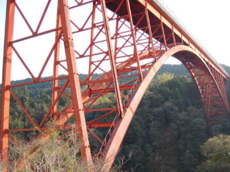
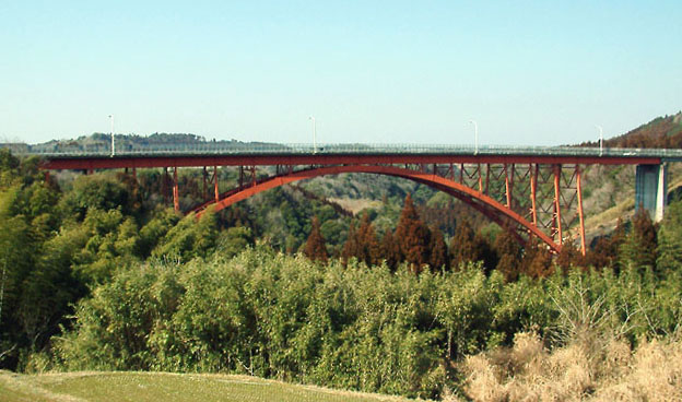
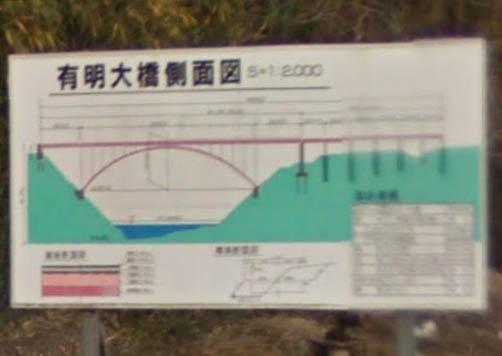
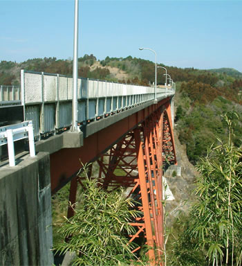
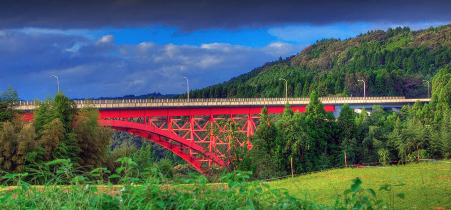
| − | Completed in 1981, the steel arch Ariake Bridge is the highest span in Japan's Kagoshima Prefecture. The arch ribs of 140 meters have a very large rise from the foundations making for an unusually tall profile. The 366.9 meter long deck is composed of a 6.75 meter wide roadway with a 1.5 meter sidewalk. | + | Completed in 1981, the steel arch Ariake Bridge is the second highest span in Japan's Kagoshima Prefecture. The arch ribs of 140 meters have a very large rise from the foundations making for an unusually tall profile. The 366.9 meter long deck is composed of a 6.75 meter wide roadway with a 1.5 meter sidewalk. |
| − | [[File: | + | [[File:Ariake140mtrSpan.jpg|750px|center]] |
| − | [[File: | + | [[File:AriakeElevation2.jpg|750px|center]] |
| − | [[File: | + | [[File:Ariake1981.jpg|650px|center]] |
| − | [[File: | + | [[File:AriakeColors.jpg|750px|center]] |
| − | [[File: | + | [[File:AriakeTablet.jpg|750px|center]] |
| − | [[File: | + | [[File:AriakeSatellite.jpg|750px|center]] |
| − | |||
| − | |||
| − | |||
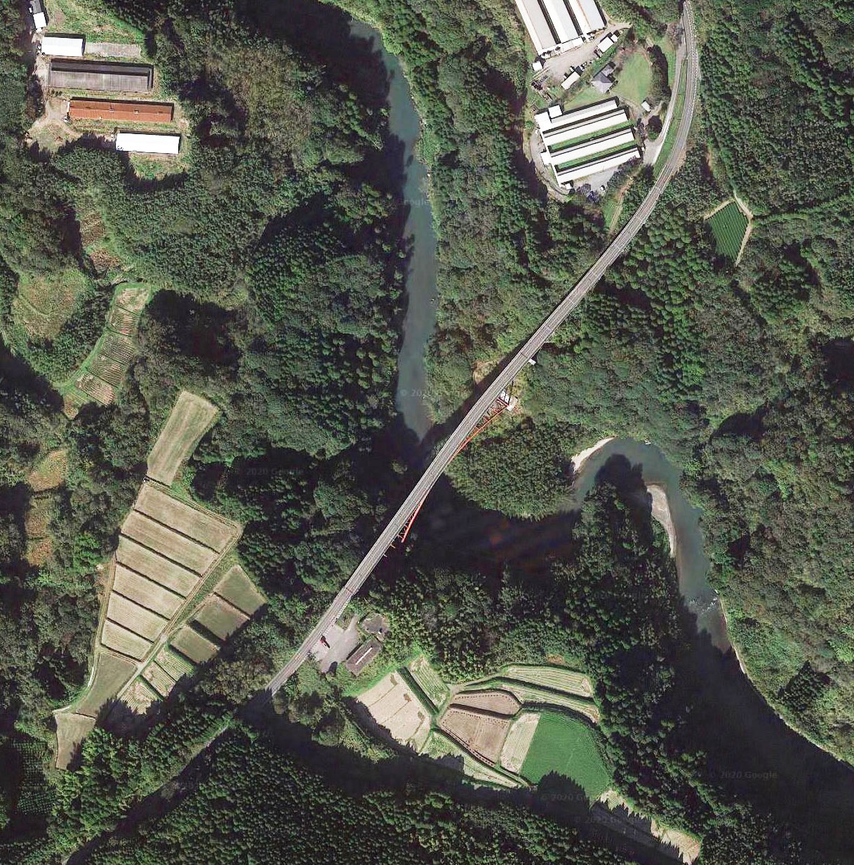
Ariake Bridge satellite image. | Ariake Bridge satellite image. | ||
| − | [[File: | + | [[File:AriakeSatelliteWide.jpg|750px|center]] |
| − | [[File: | + | [[File:AriakeLocationMap.jpg|750px|center]] |
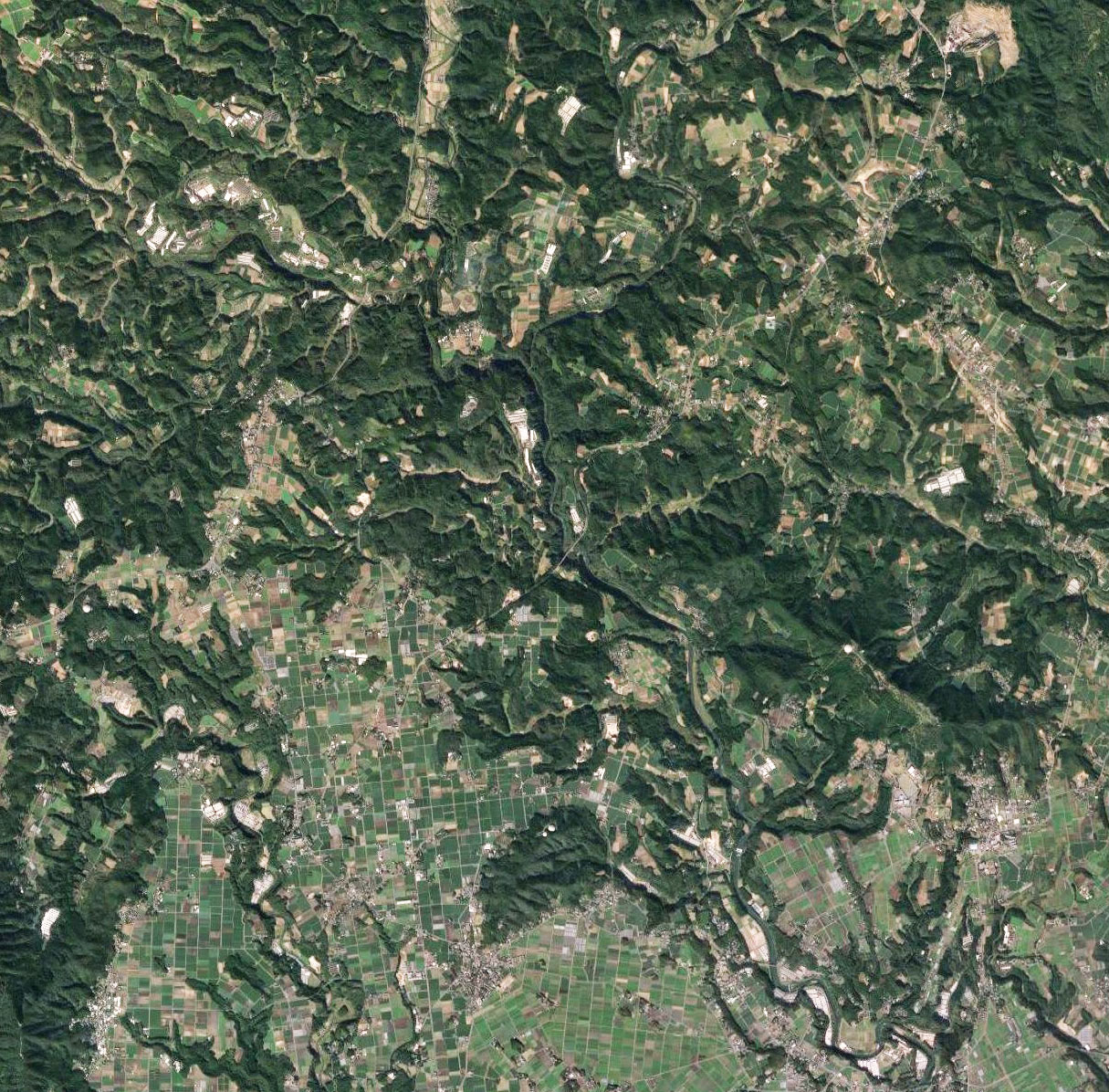
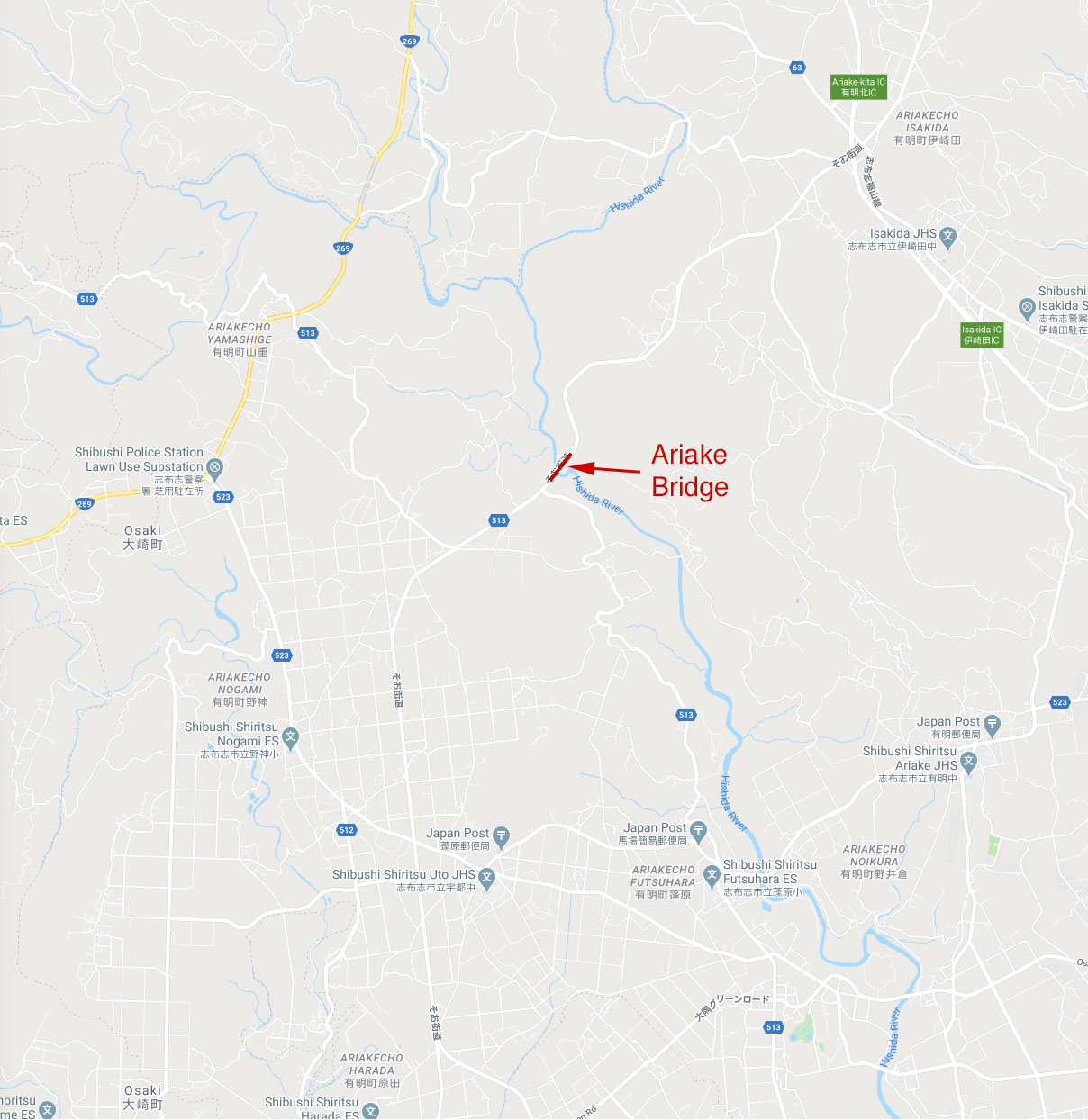
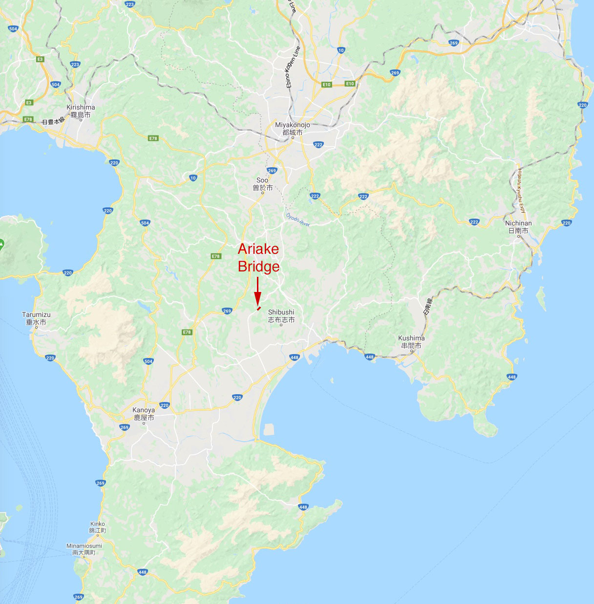
Ariake Bridge location map. | Ariake Bridge location map. | ||
| − | [[File: | + | [[File:AriakeLocationMap2.jpg|750px|center]] |
[[Category:Bridges in Japan]] | [[Category:Bridges in Japan]] | ||
Latest revision as of 05:59, 7 September 2020
Ariake Bridge
有明大橋
Shibushi, Kagoshima, Japan
(262) feet high / (80) meters high
459 foot span / 140 meter span
1981
Completed in 1981, the steel arch Ariake Bridge is the second highest span in Japan's Kagoshima Prefecture. The arch ribs of 140 meters have a very large rise from the foundations making for an unusually tall profile. The 366.9 meter long deck is composed of a 6.75 meter wide roadway with a 1.5 meter sidewalk.
Ariake Bridge satellite image.
Ariake Bridge location map.
