DurangoMazatlanHighwayTour
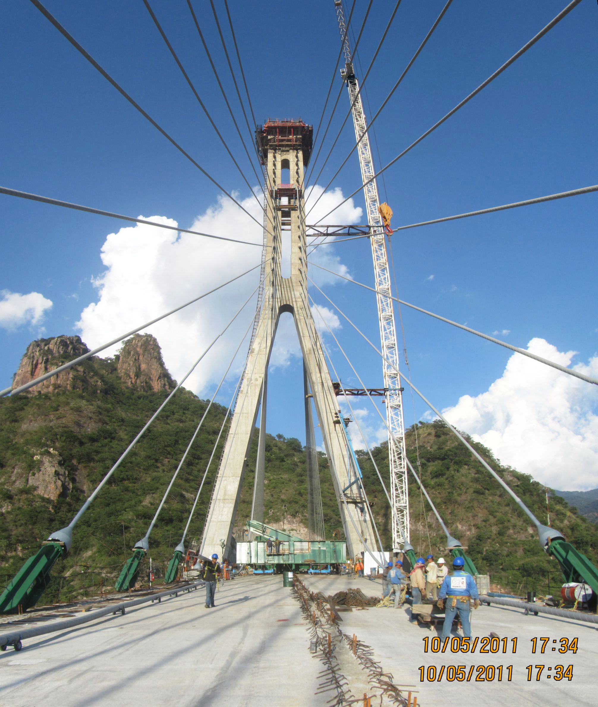
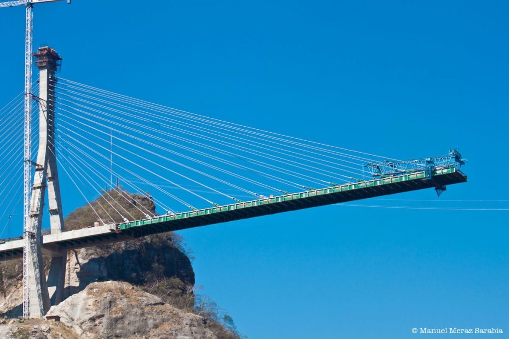
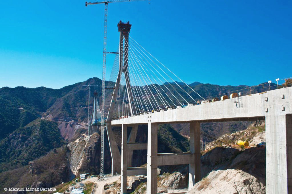
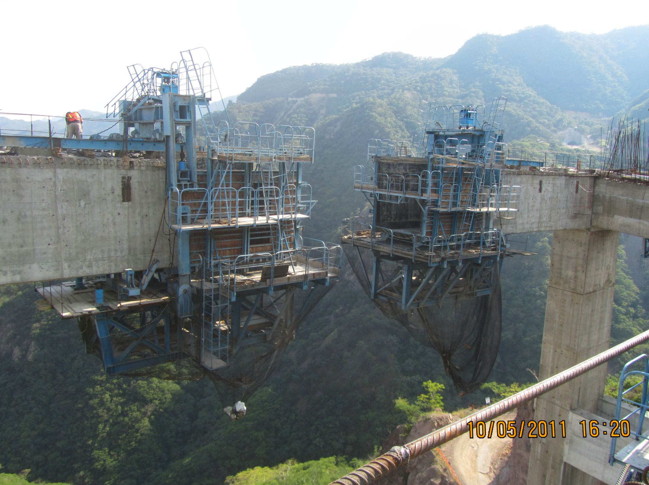
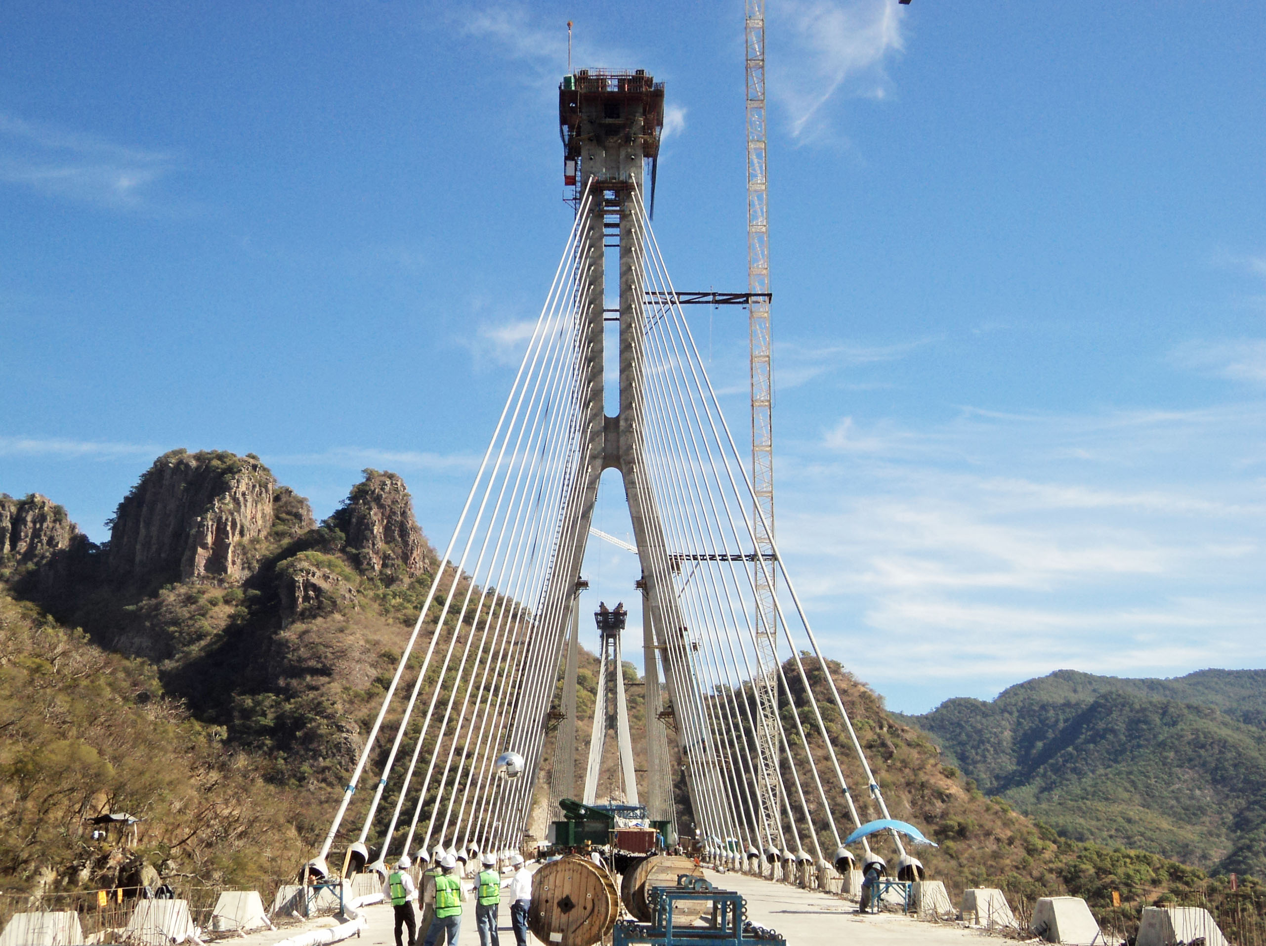
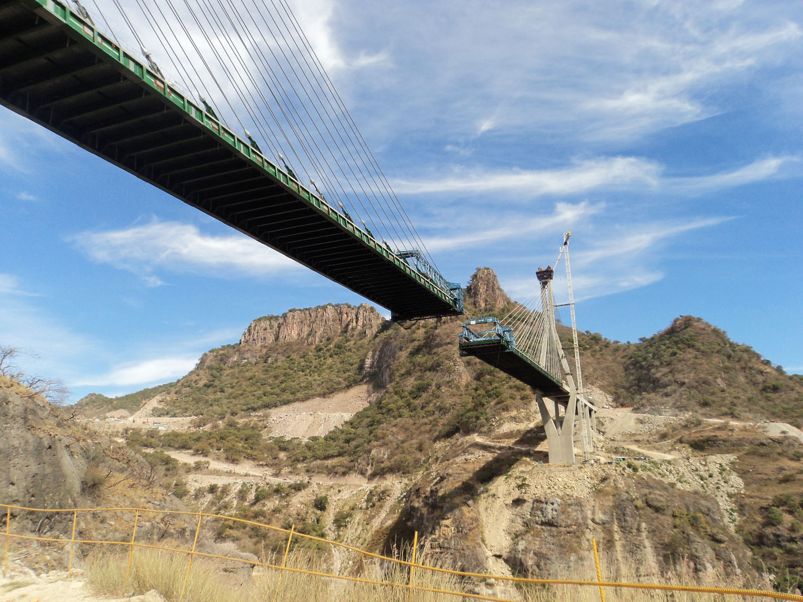
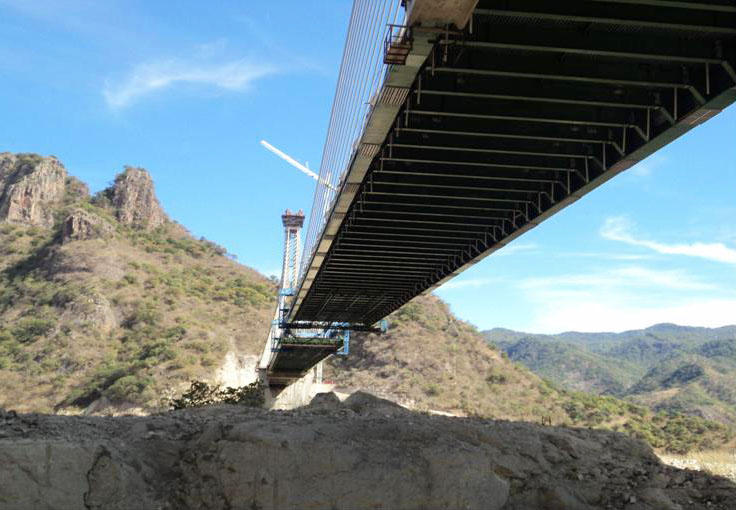
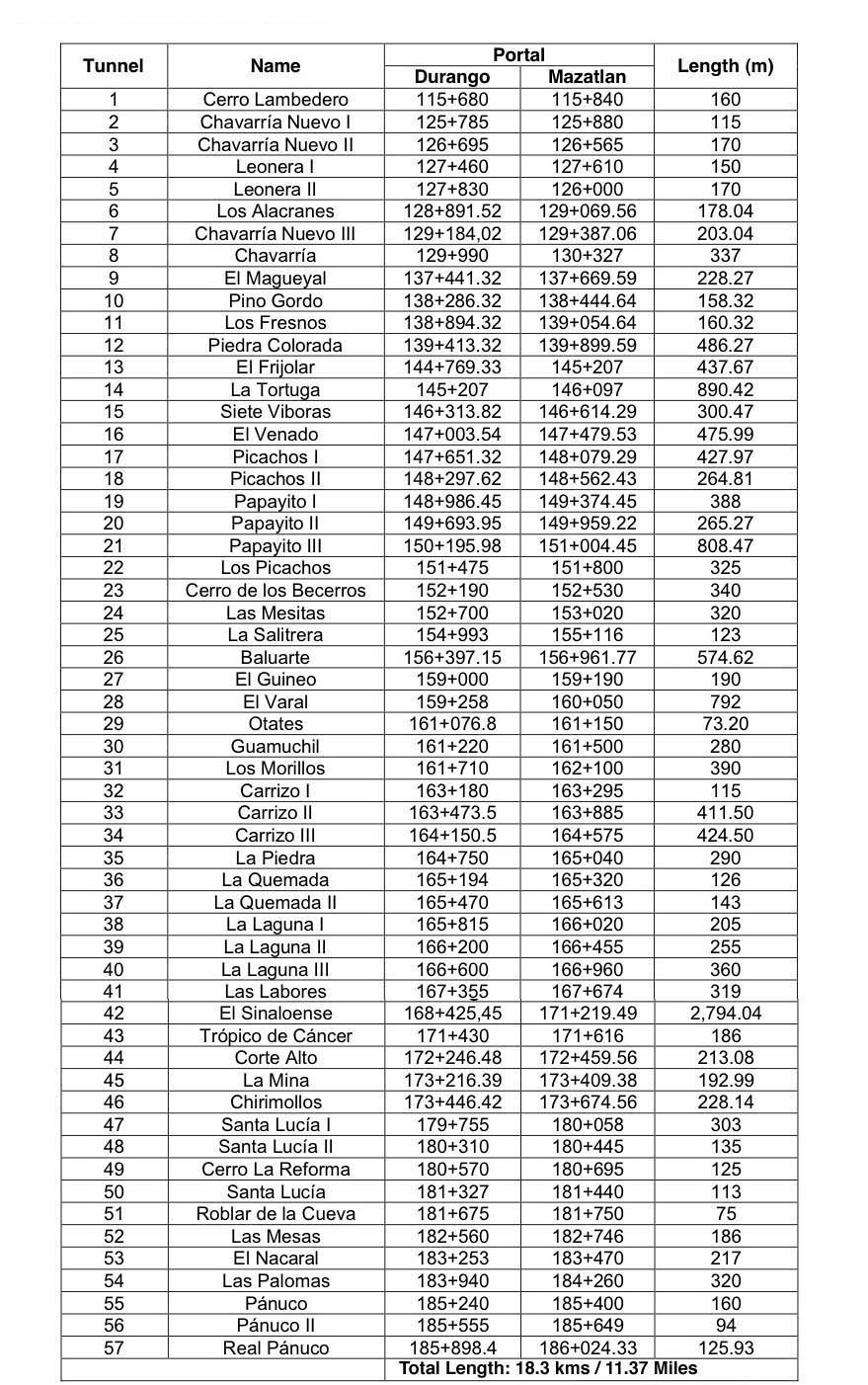
The following is a select group of images taken during a June visit to the central portion of the Durango-Mazatlan highway as well as images from the SCT. This construction tour focused on approximately 25 of the largest bridges on the highway with a special emphasis on the spans of the central 94 kilometers between El Salto and Concordia that will finally be open to traffic in the summer of 2013. The vast majority of the 69 bridges are Nebraska-type concrete girder spans. The eight largest beam bridges are double cantilever while the 2 longest and highest crossings are cable stayed. The 230 kilometer highway also has 61 tunnels including the 2.8 kilometer El Sinaloense tunnel. I decided to briefly show some of the bridges from kilometer 1 near Durango to kilometer 91 near El Salto even though this section has been open since 2008. The stretch between Las Adjuntas at kilometer 111 to Panuco at kilometer 186 is where all the new construction has been underway.
Image by SCT
Image by Grupo Triada / Owner SCT
Image by Grupo Triada / Owner SCT
Image by Grupo Triada / Owner SCT
Image by Grupo Triada / Owner SCT
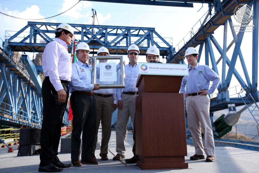
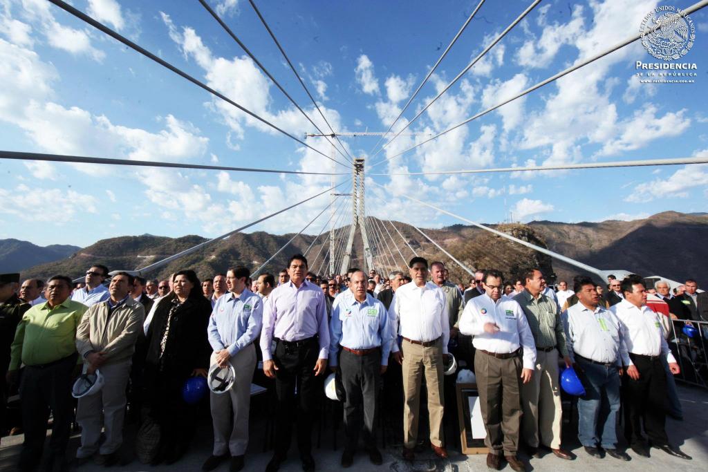
Mexican President Felipe Calderón holds a Guinness Book of World Records plaque stating that Baluarte is the world's highest cable stayed bridge at 403 meters. Image by Web de la Presidencia de la República.
Image by Maraz Sarabia.
Image by Maraz Sarabia.
Image by Web de la Presidencia de la República.
Image by Grupo Triada / Owner SCT
Image by Grupo Triada / Owner SCT
Image by Grupo Triada / Owner SCT
Image by Grupo Triada / Owner SCT
Image by Grupo Triada / Owner SCT
Image by Grupo Triada / Owner SCT
Image by Grupo Triada / Owner SCT
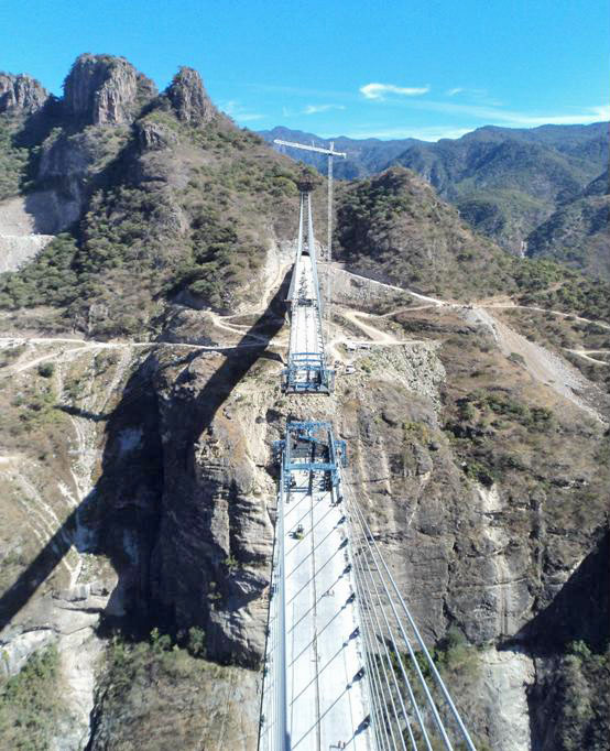
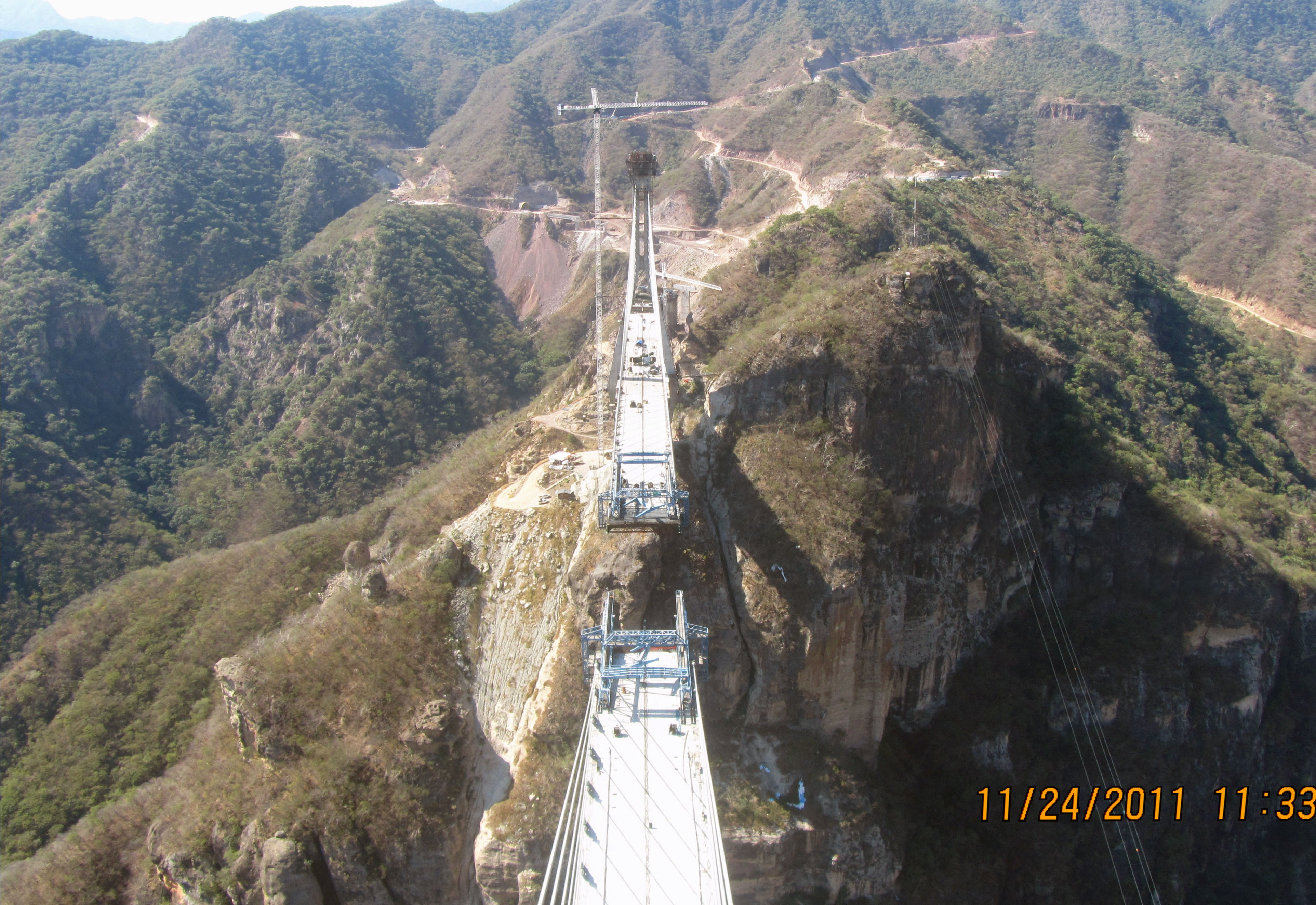
A view from the Sinaloa tower looking towards Durango. Image by Grupo Triada / Owner SCT
Image by Grupo Triada / Owner SCT
A view from the Durango tower looking towards Sinaloa. Image by Grupo Triada / Owner SCT
A view of the rarely seen Sinaloa approach spans. Image by Grupo Triada / Owner SCT
Image by Grupo Triada / Owner SCT
Image by Grupo Triada / Owner SCT
Image by Grupo Triada / Owner SCT
Image by Grupo Triada / Owner SCT
Image by Grupo Triada / Owner SCT
Image by Grupo Triada / Owner SCT
Image by Grupo Triada / Owner SCT
Image by Grupo Triada / Owner SCT
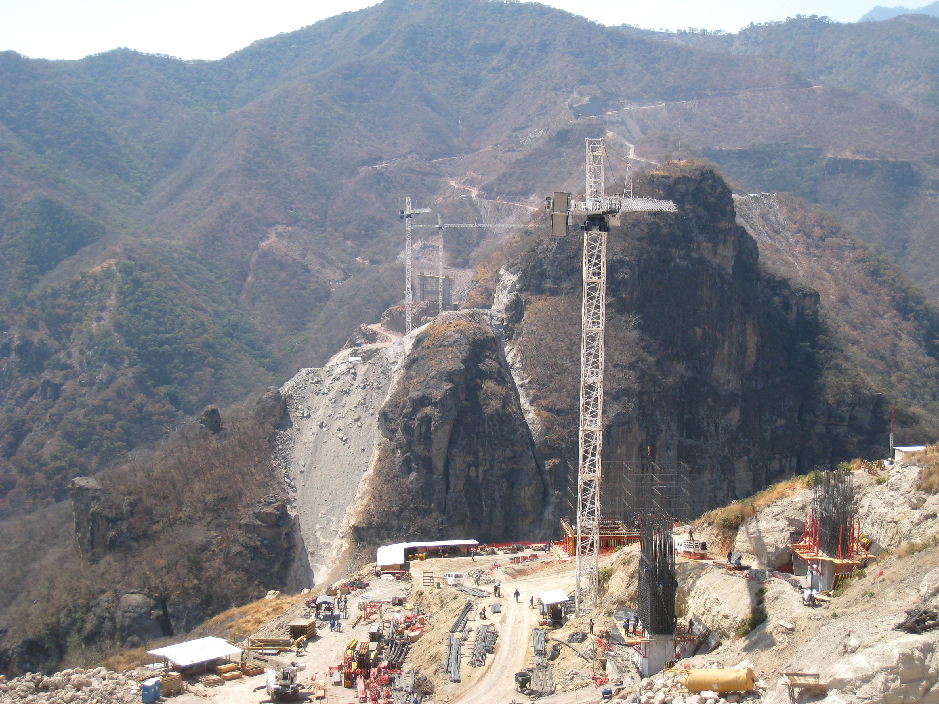
The rock wall face of the Durango side can be seen in this view from the Sinaloa side. La pared de roca del lado de Durango se puede ver en este punto de vista desde el lado de Sinaloa. Image by Grupo Triada / Owner SCT
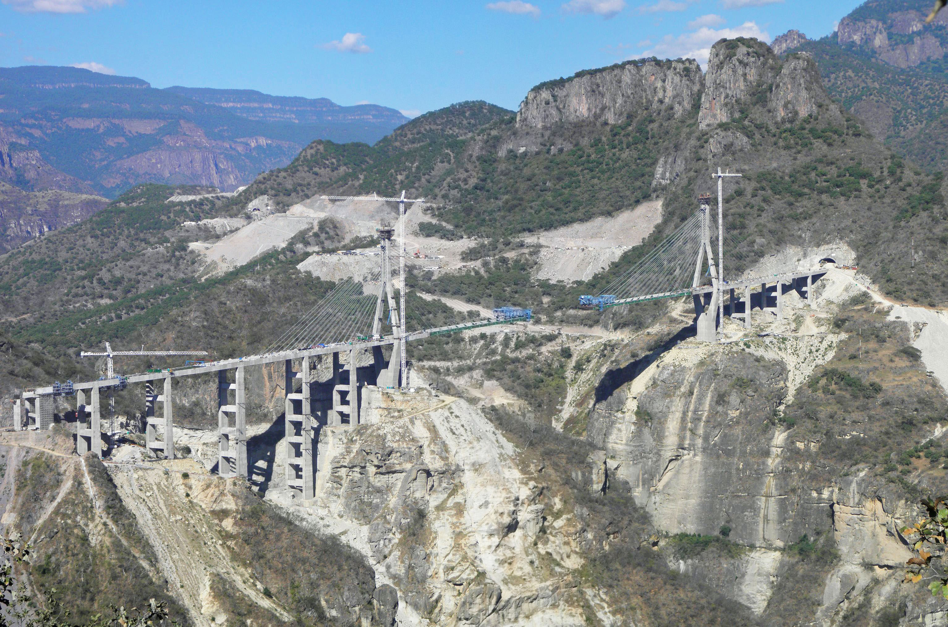
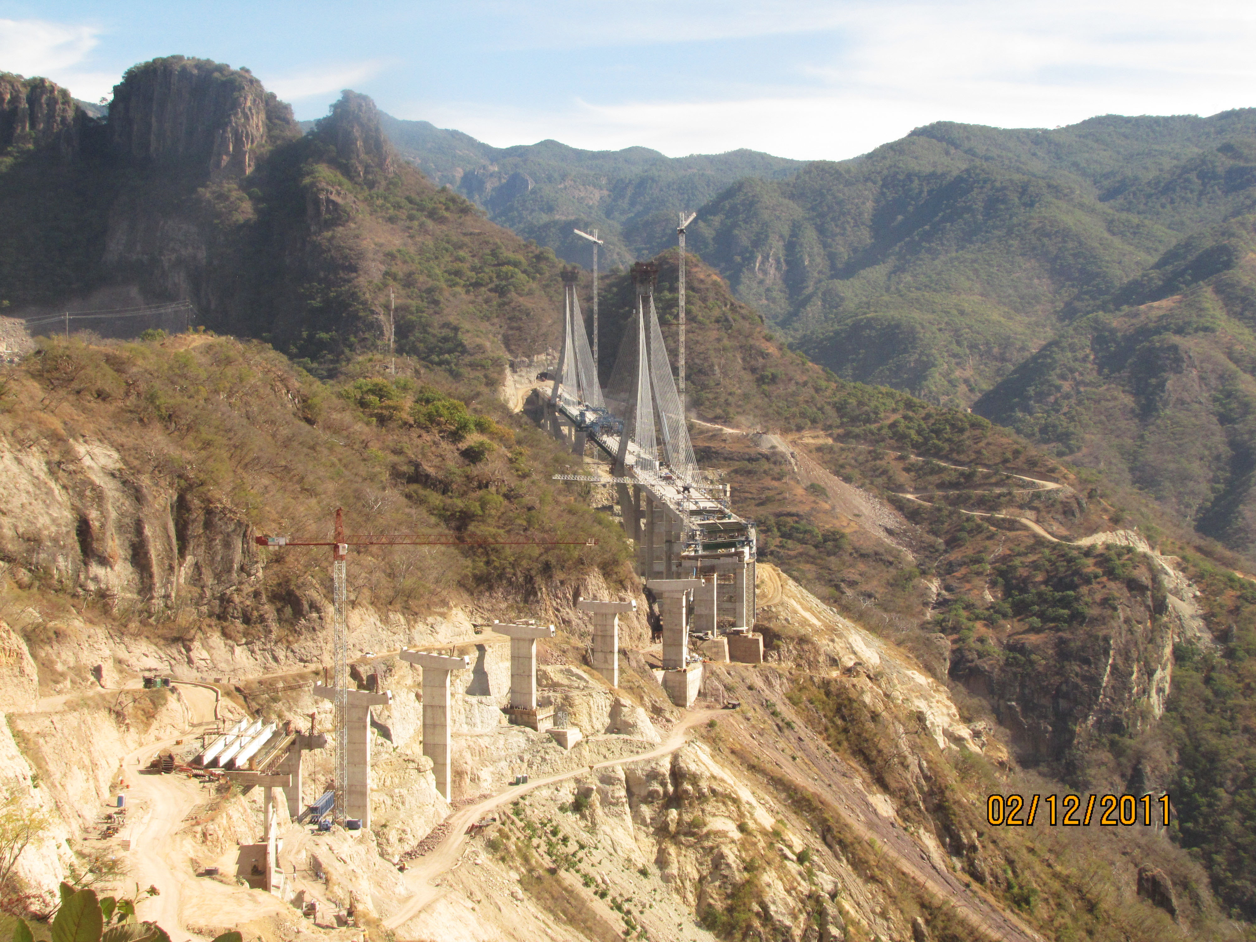
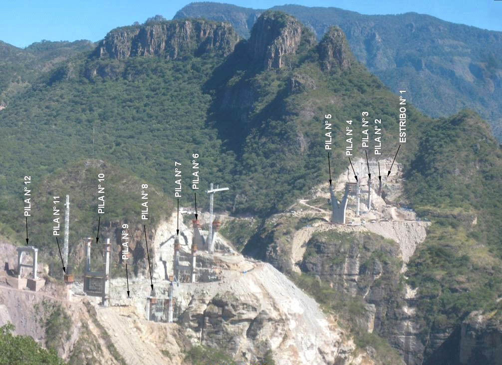
Another view looking east from the Sinaloa side showing the arrangement of piers or "pilas". Otra vista mirando hacia el este desde el lado de Sinaloa muestra la disposición de las pilas. Image by Grupo Triada / Owner SCT
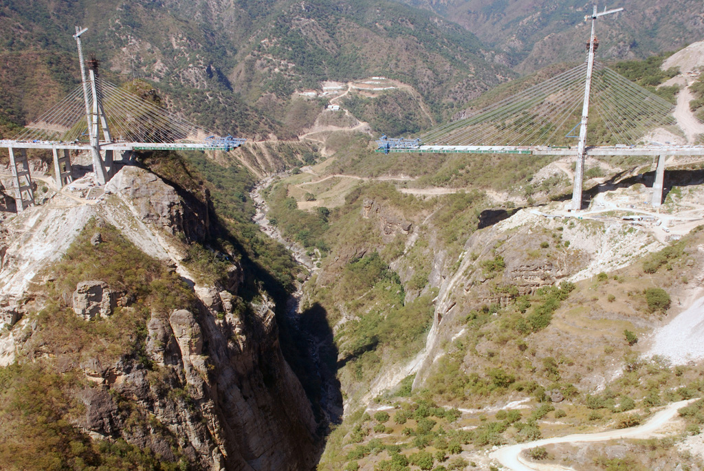
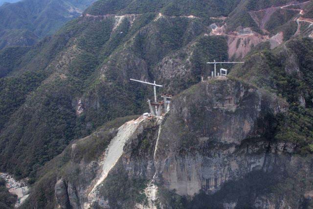
Baluarte Bridge aerial image by Tradeco.
Baluarte Bridge aerial. Imagen Aérea del Puente Baluarte.
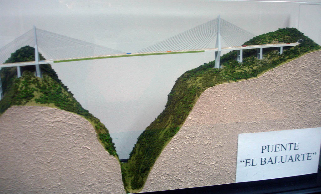
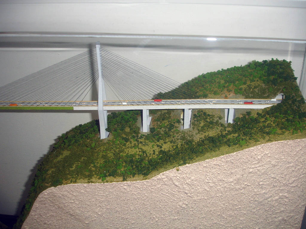
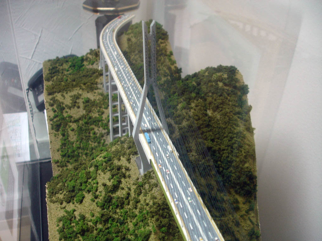
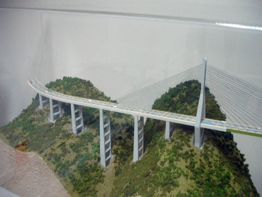
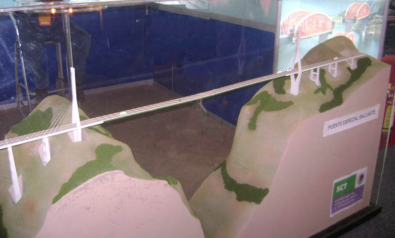
Baluarte Bridge model. Modelo del Puente Baluarte.
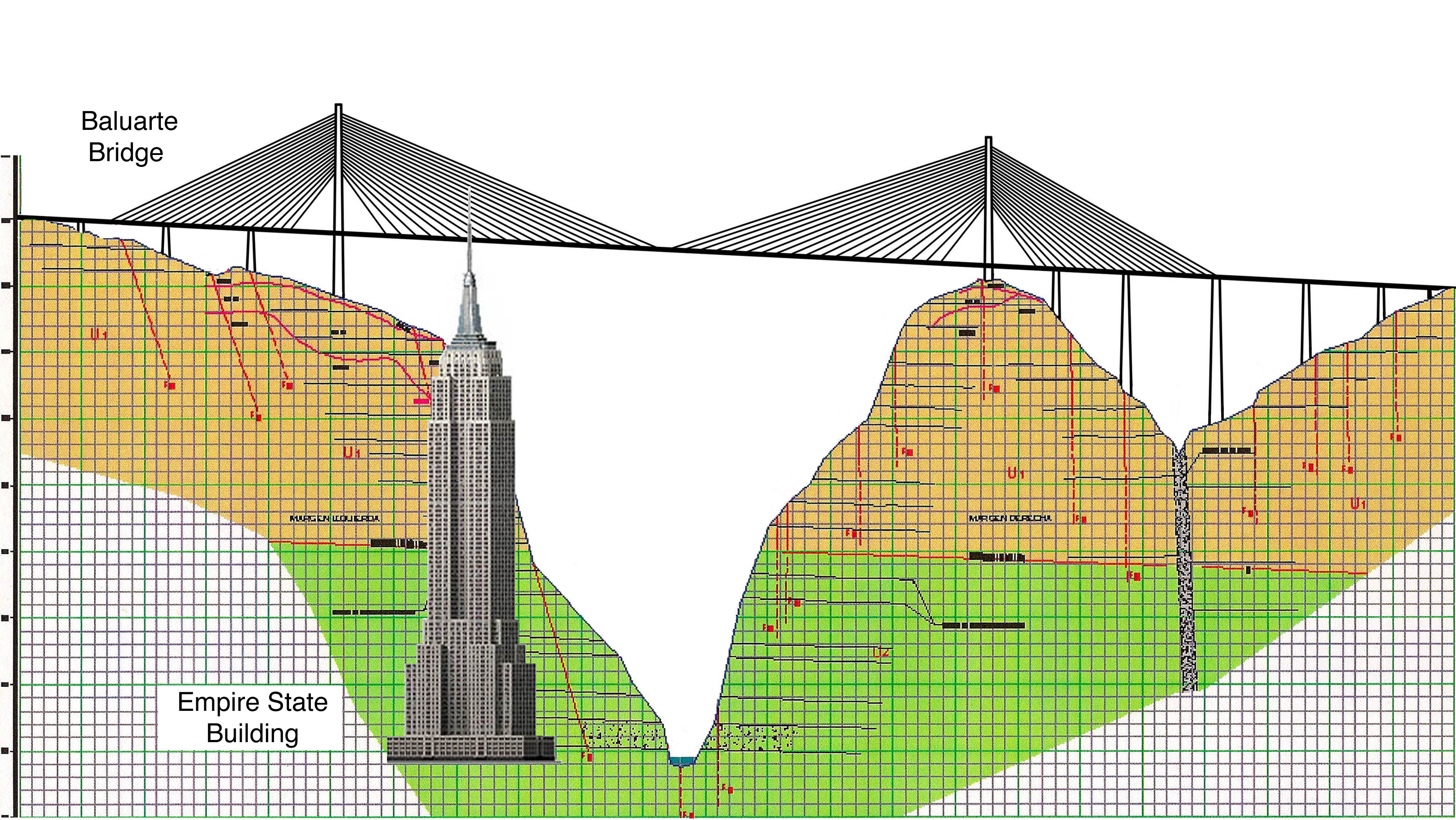
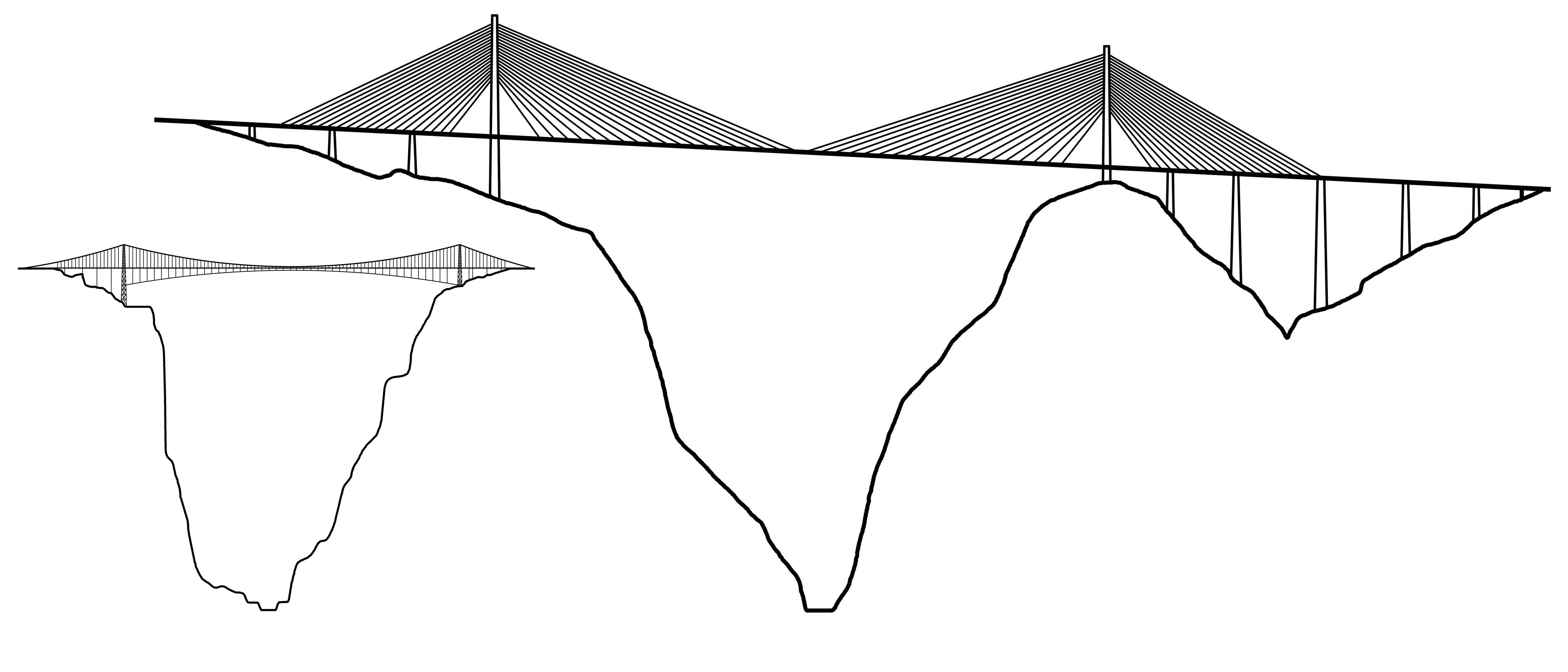
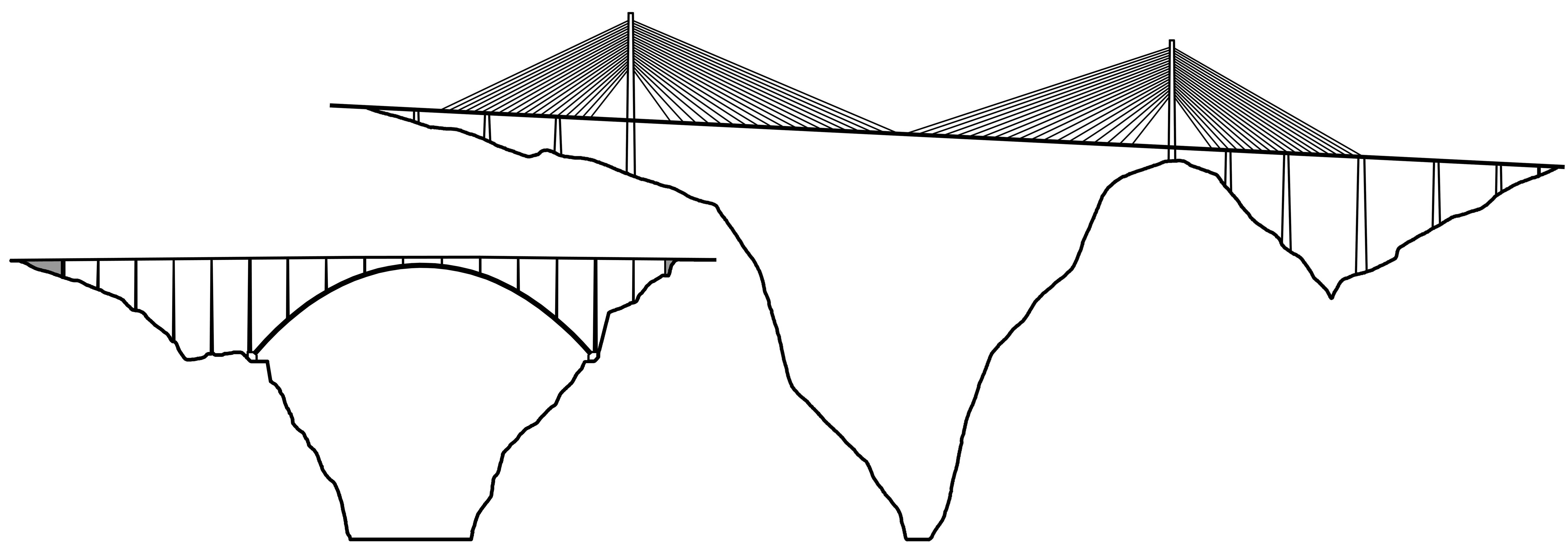
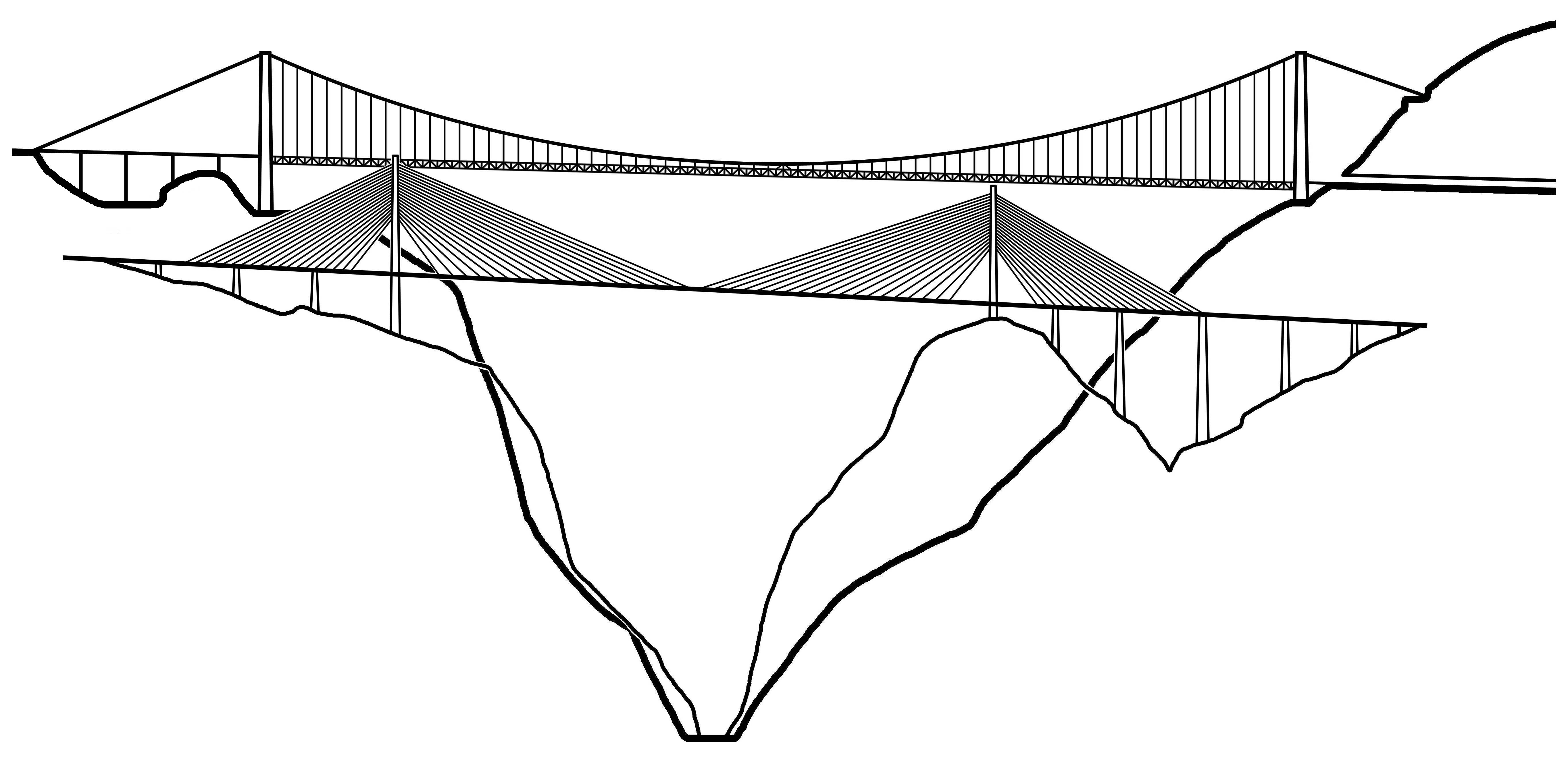
Baluarte Bridge and Empire State Building size comparison. The drawing also shows the location of underground test borings to check the geology of the rock. Each square is 33 feet high or the equivalent of a 3-story apartment building. Puente Baluarte y el Empire State comparación Creación de tamaño. El dibujo también muestra la ubicación de las perforaciones de prueba subterránea para comprobar la geología de la roca. Cada cuadrado es de 33 pies de altura o el equivalente a un edificio de apartamentos de tres pisos.
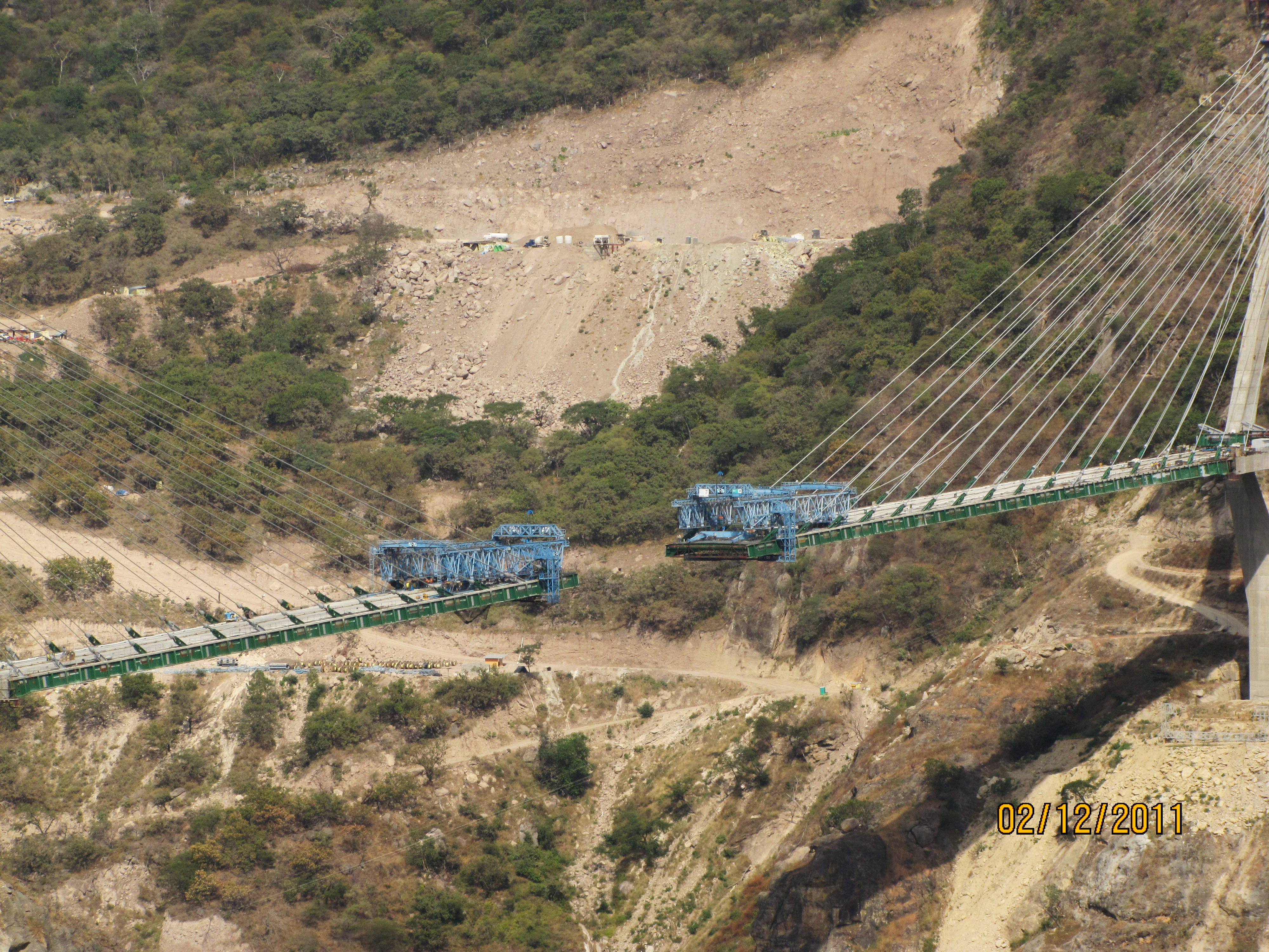
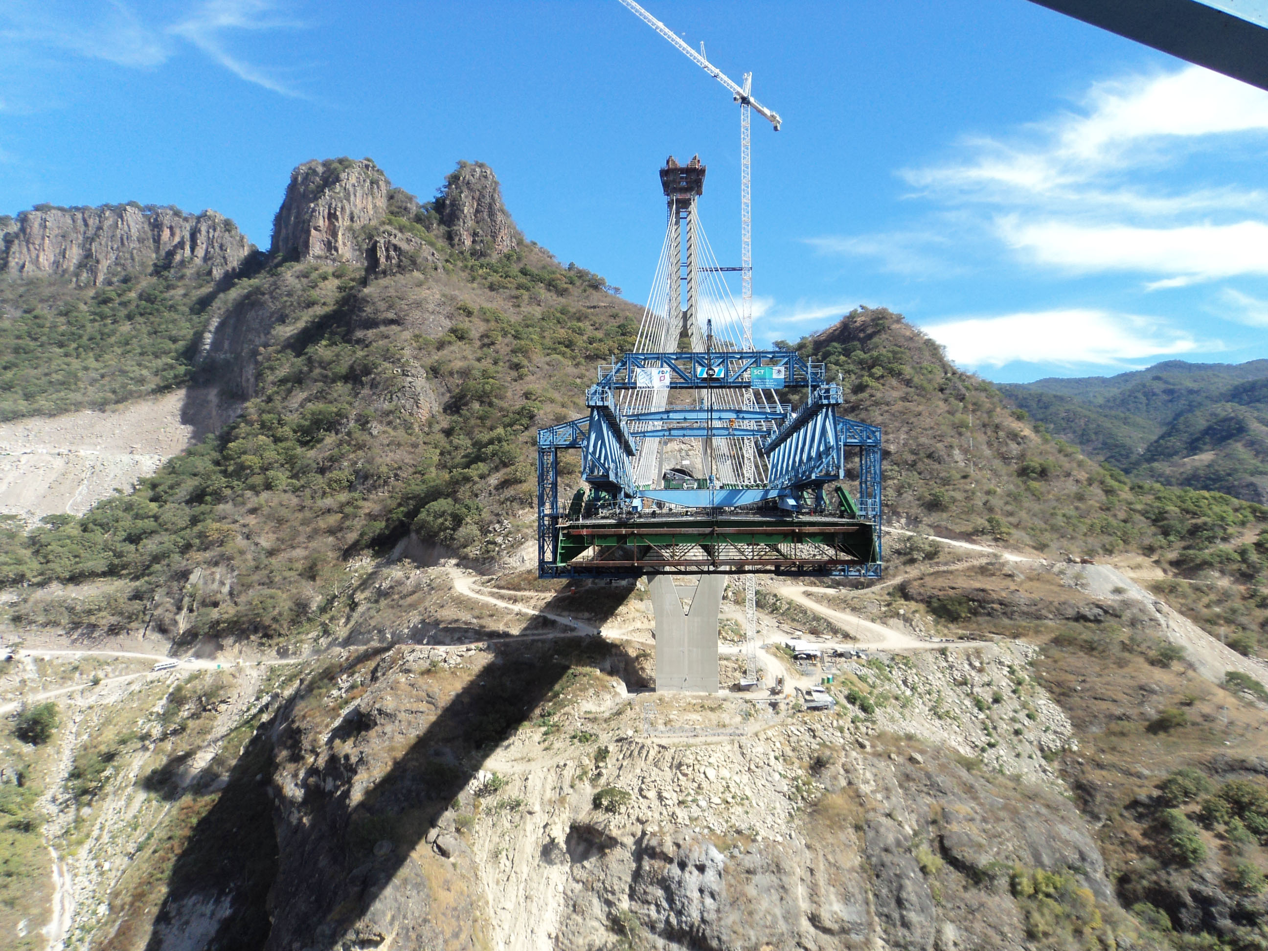
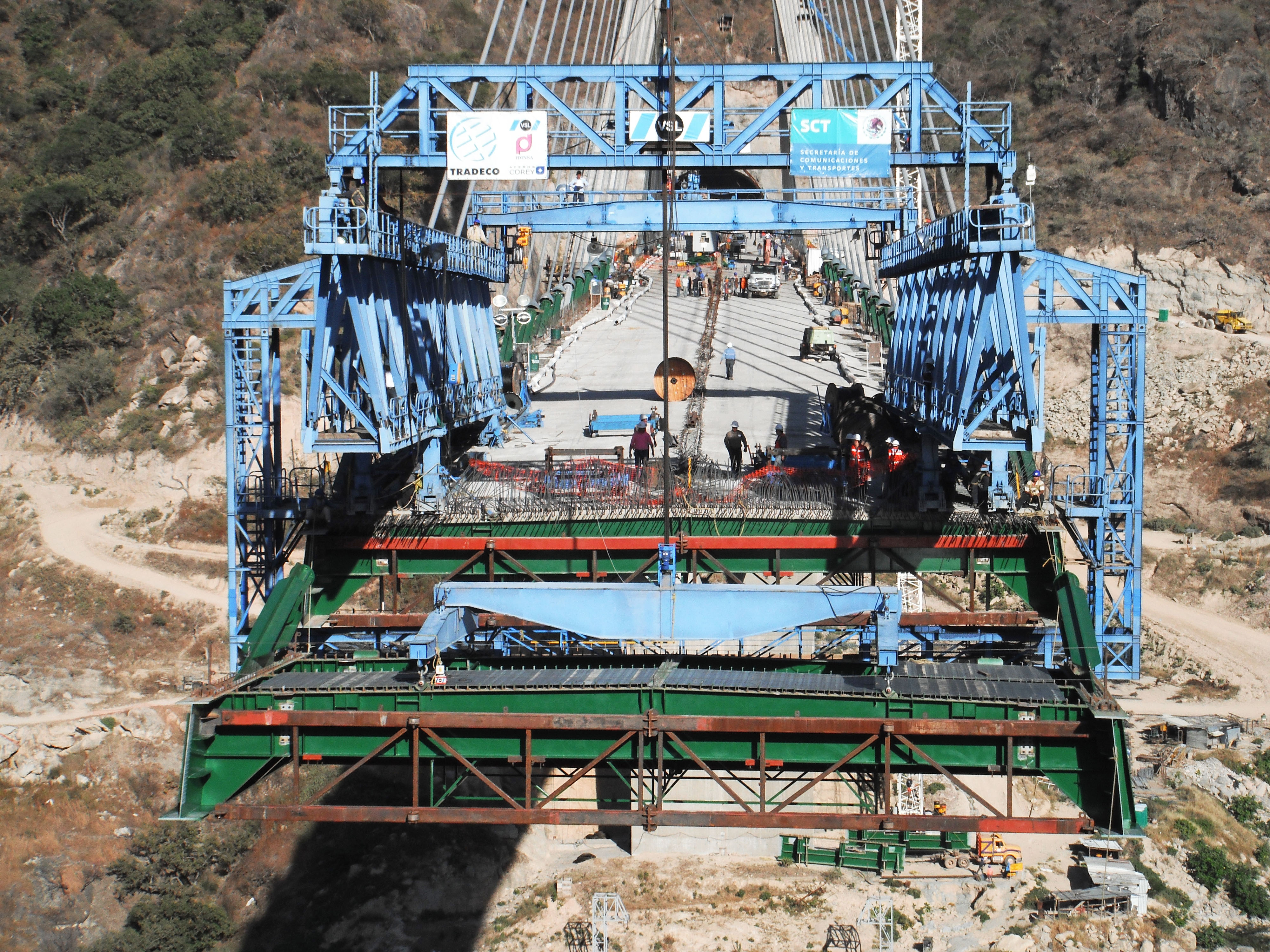
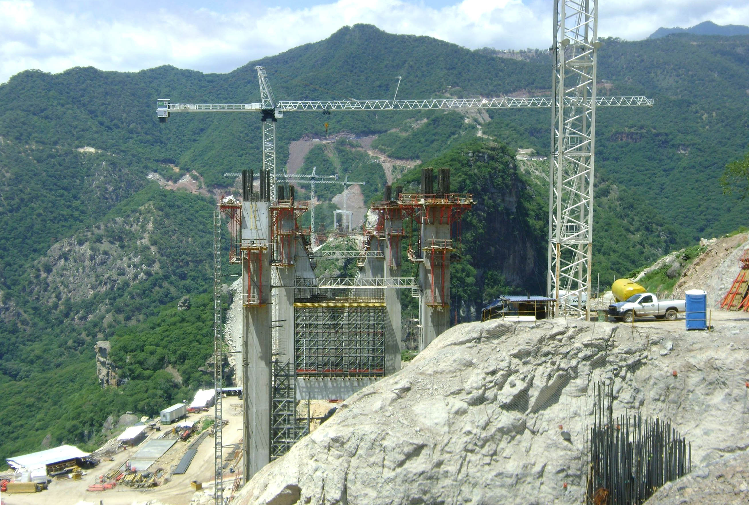
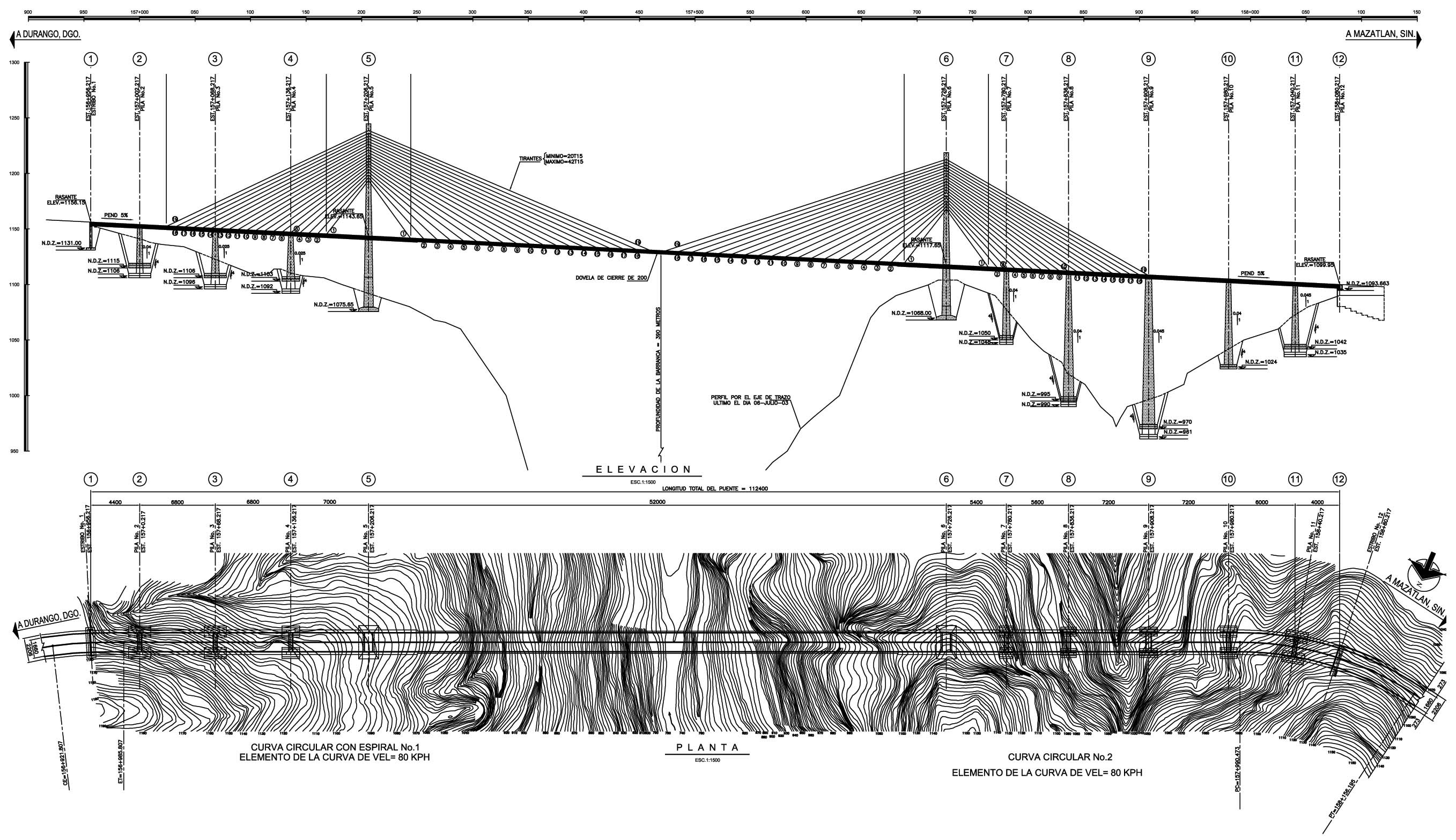
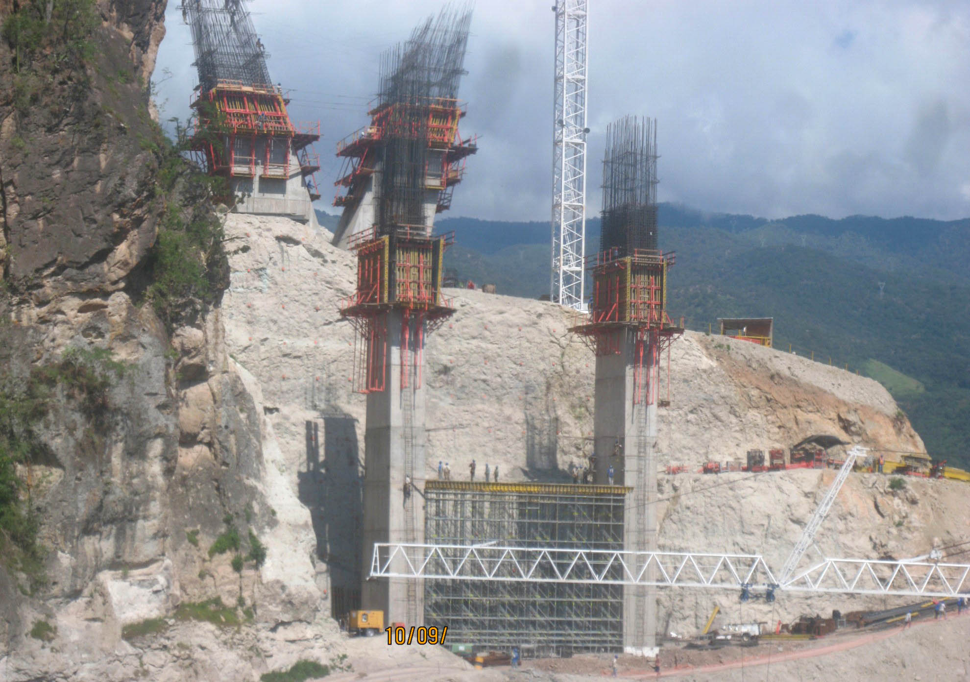
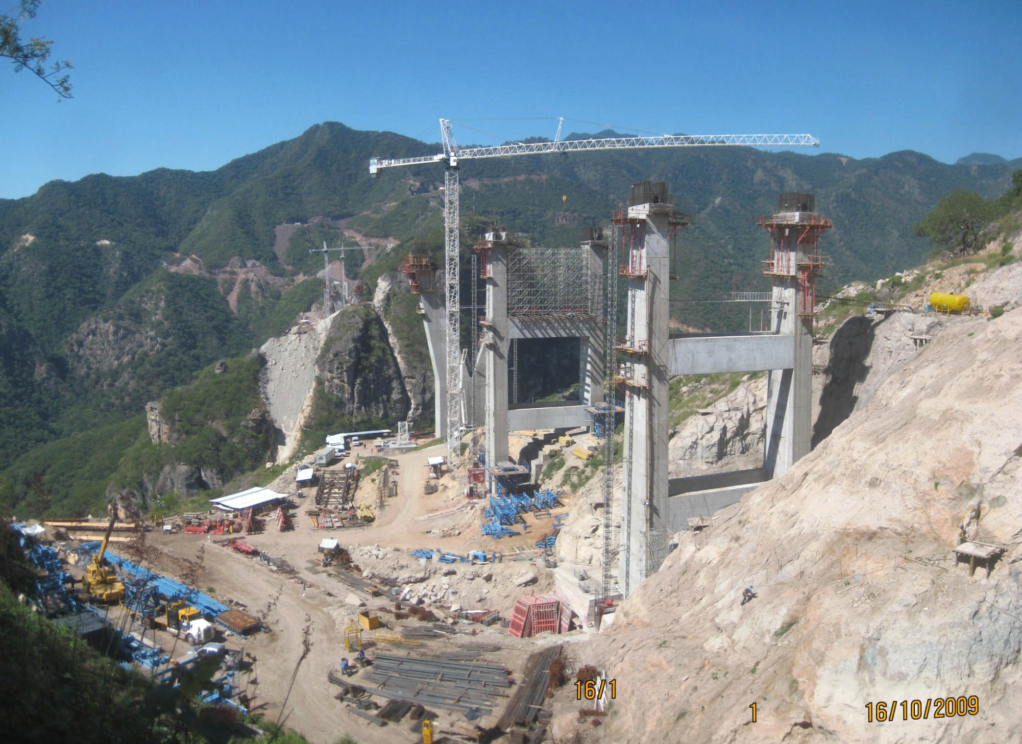
Pier 5 is the tallest of all with a height of 554 feet (169 mtrs). The main span will be the longest of any cable stayed bridge in North America at 1,706 feet (520 mtrs). Image by Grupo Triada / Owner SCT
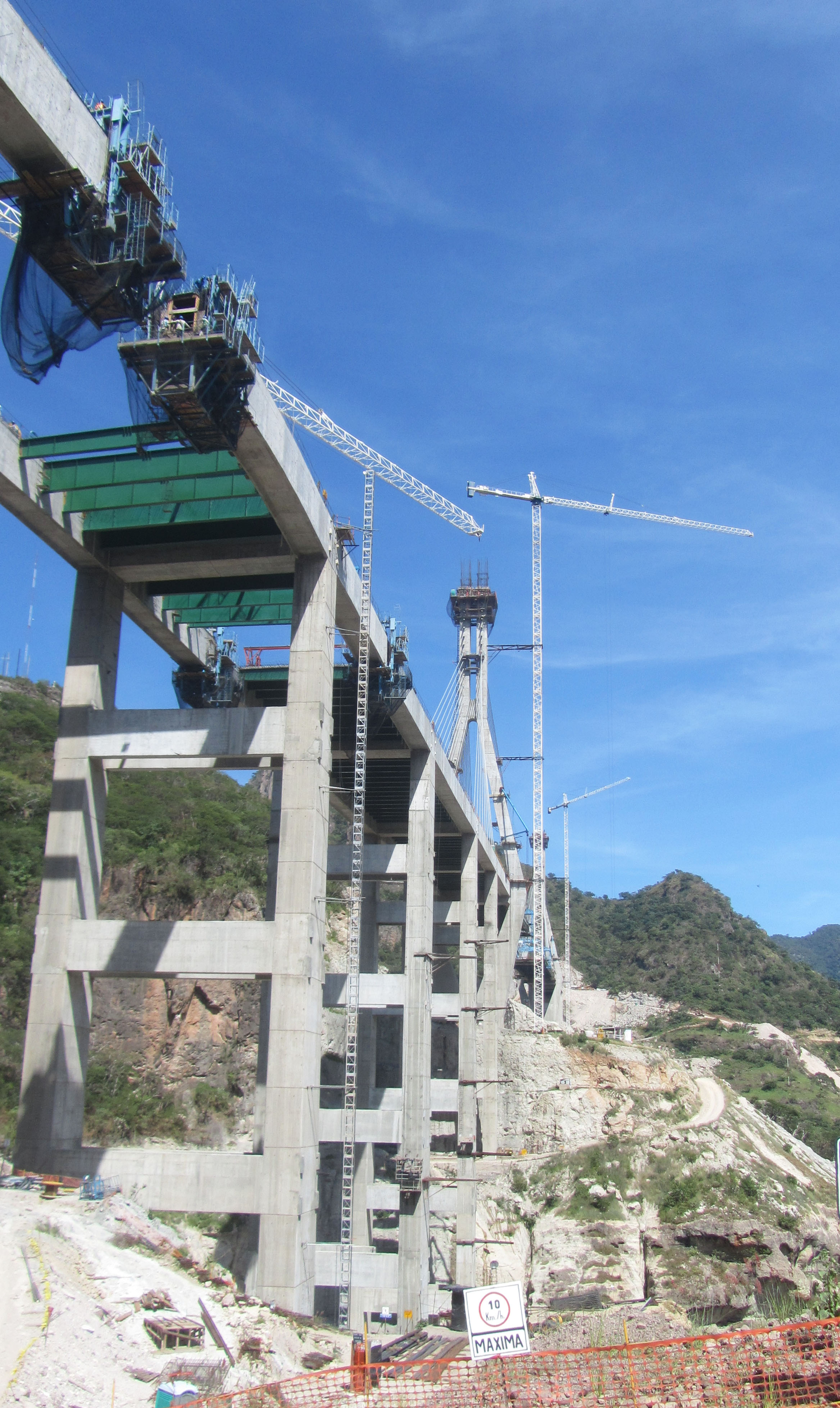
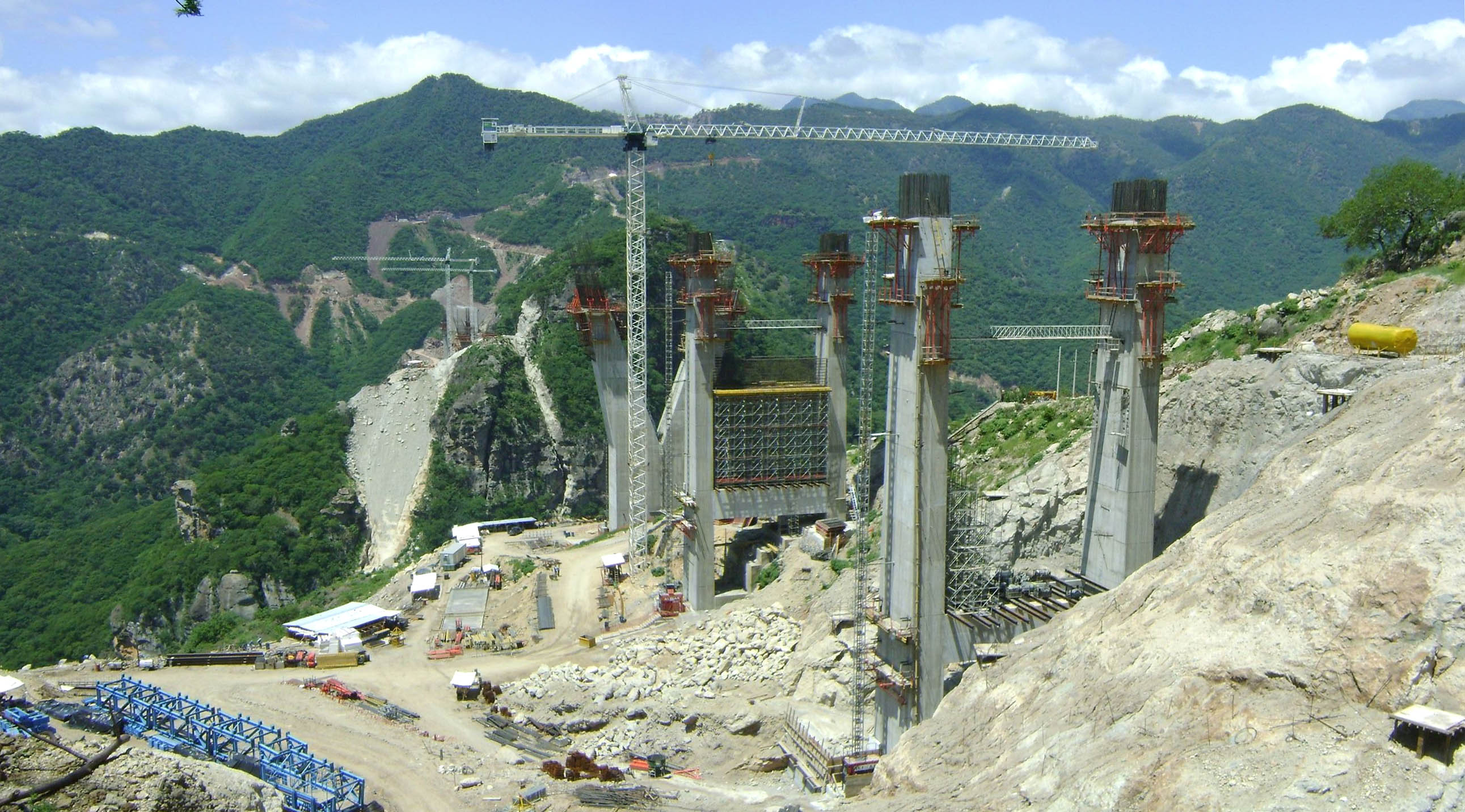
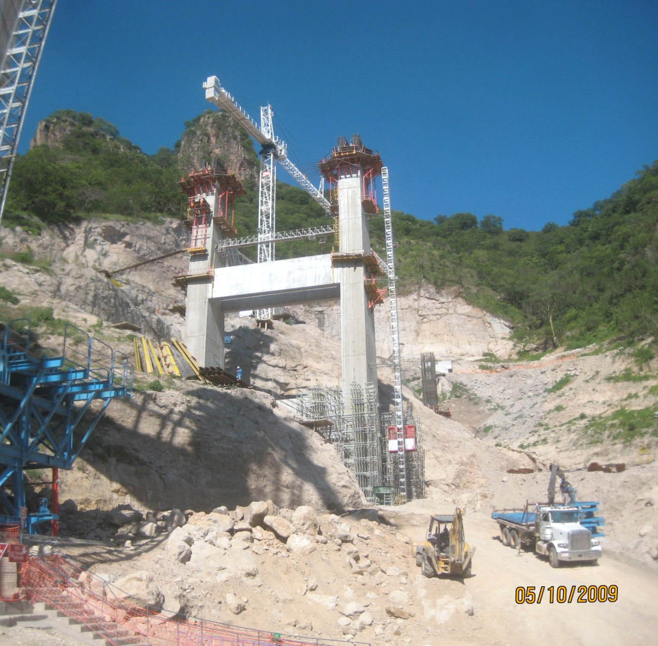
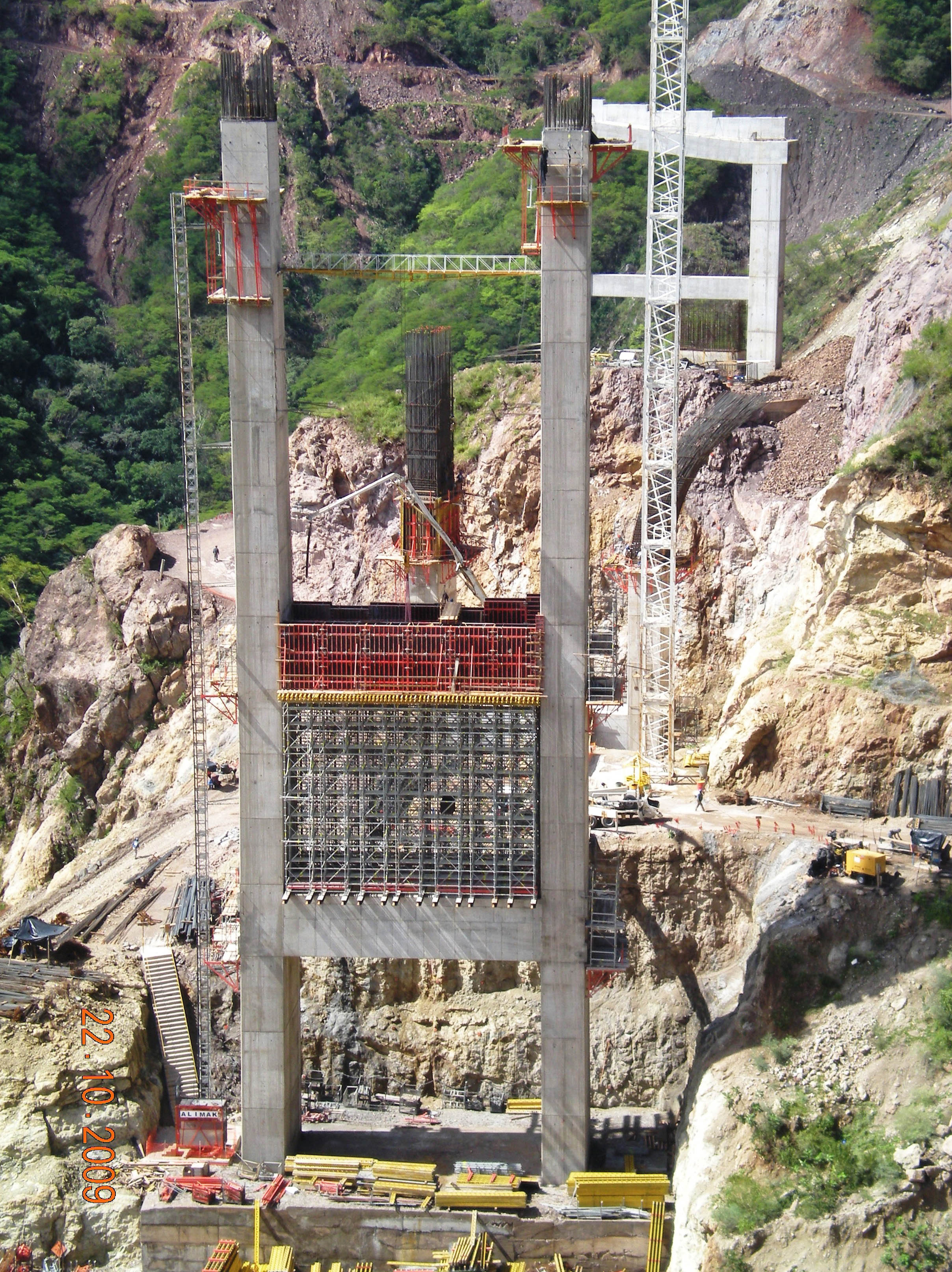
On the Durango side, Piers 3 and 4 rise in the foreground with the help of a dense lattice of scaffolding. Image by Grupo Triada / Owner SCT
Image by Grupo Triada / Owner SCT
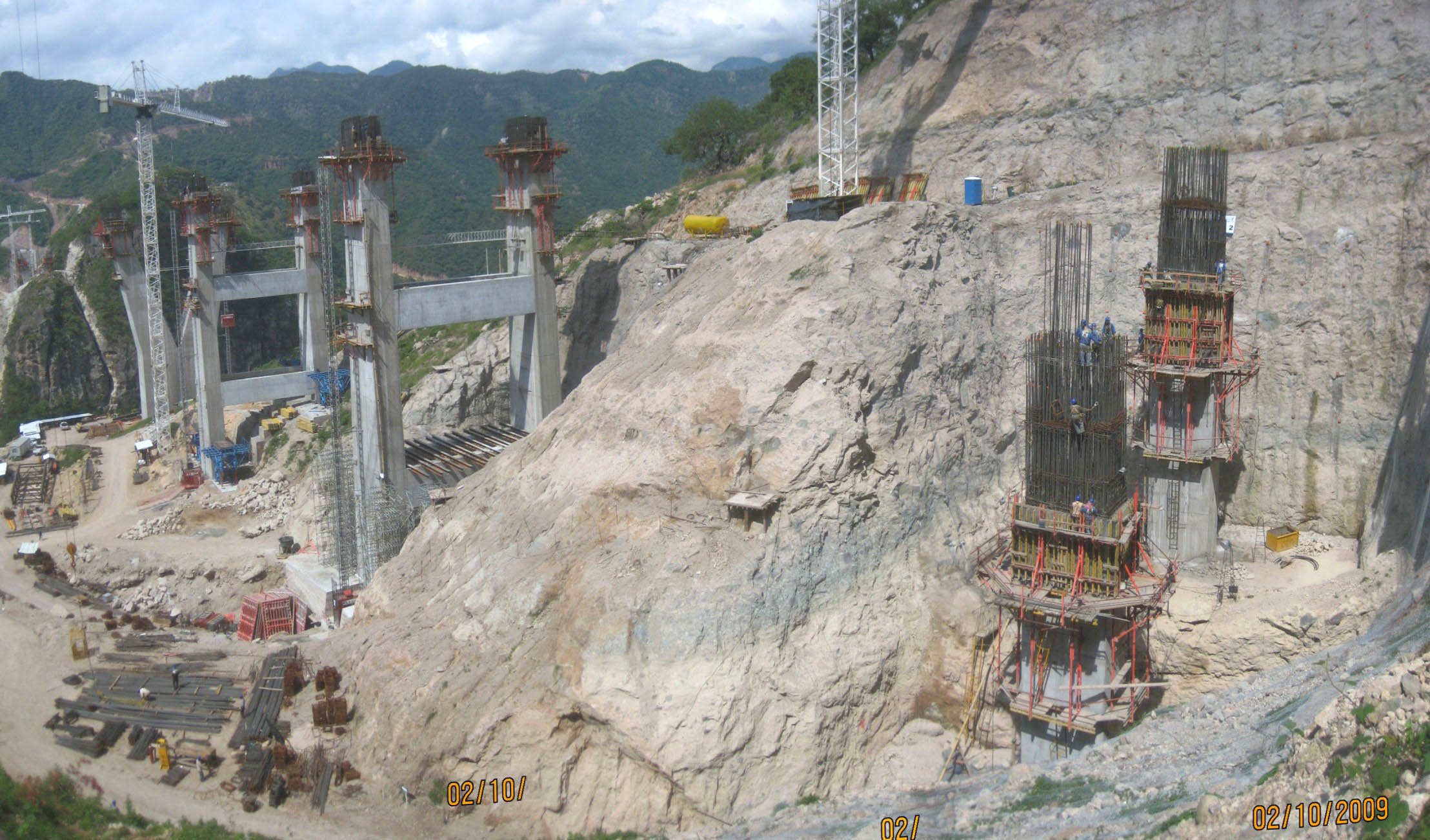
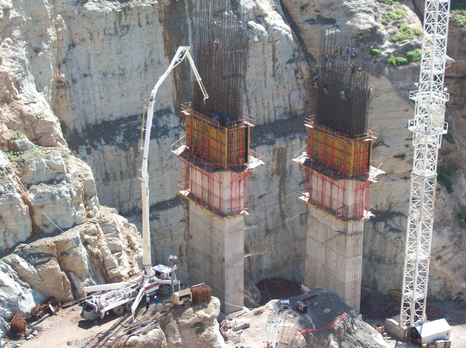
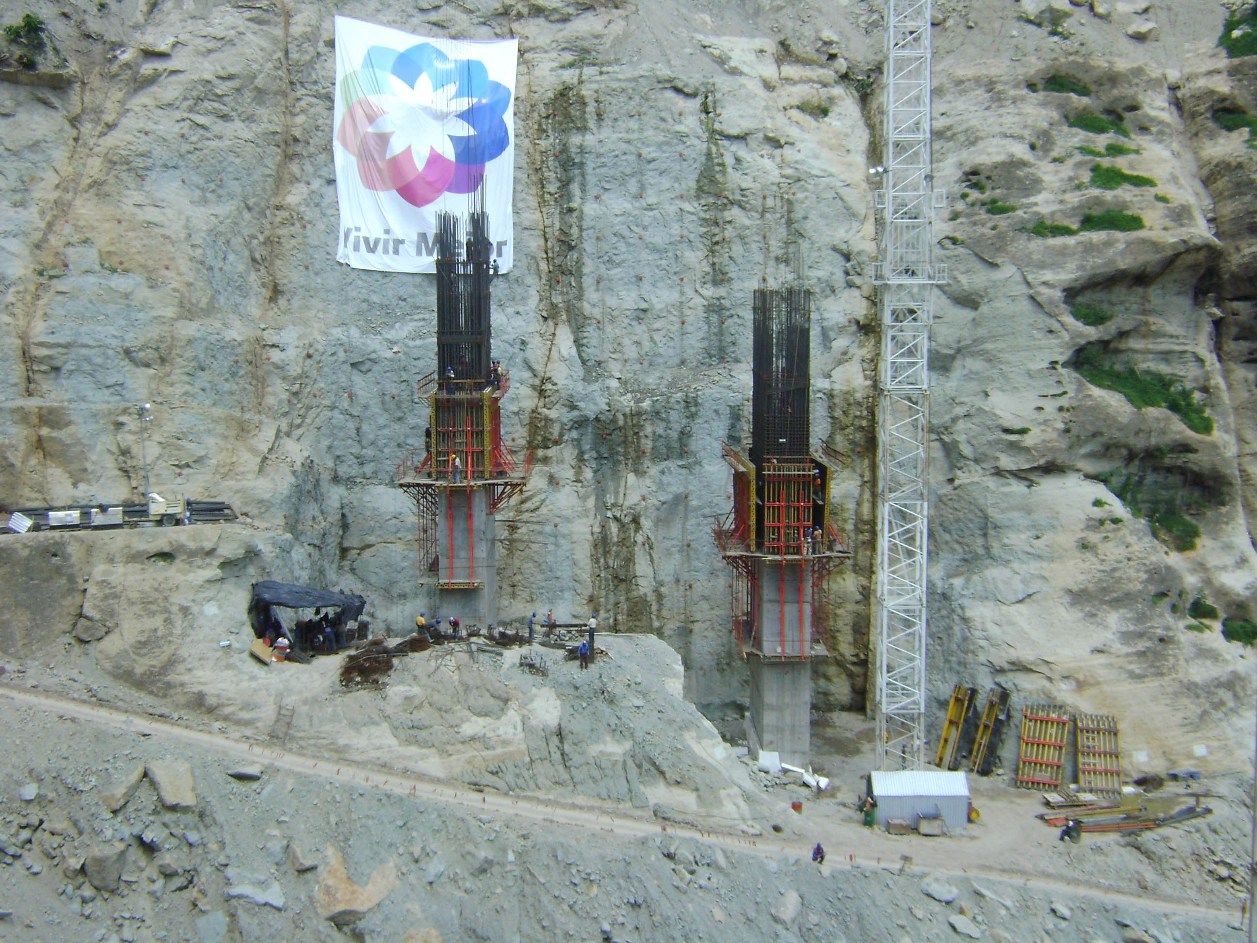
On the right workers tie rebar high above the foundation of pier 2. Image by Grupo Triada / Owner SCT
The foundations are very deep for Baluarte to ensure the piers will always be stable.
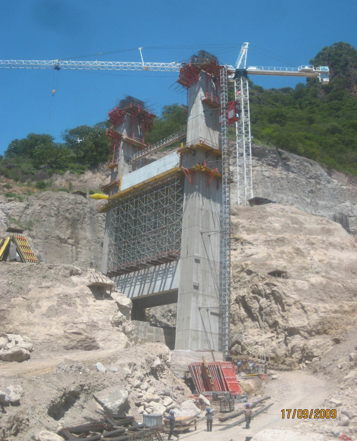
A view of pier 3. Image by Grupo Triada / Owner SCT
Image by Grupo Triada / Owner SCT
A huge hole was dug for pier 8 which has one of the deepest foundations of the bridge. Image by Grupo Triada / Owner SCT
On the western end of the Sinaloa side, workers hang high above pier 11. Image by Grupo Triada / Owner SCT
Another view of pier 8. Image by Grupo Triada / Owner SCT
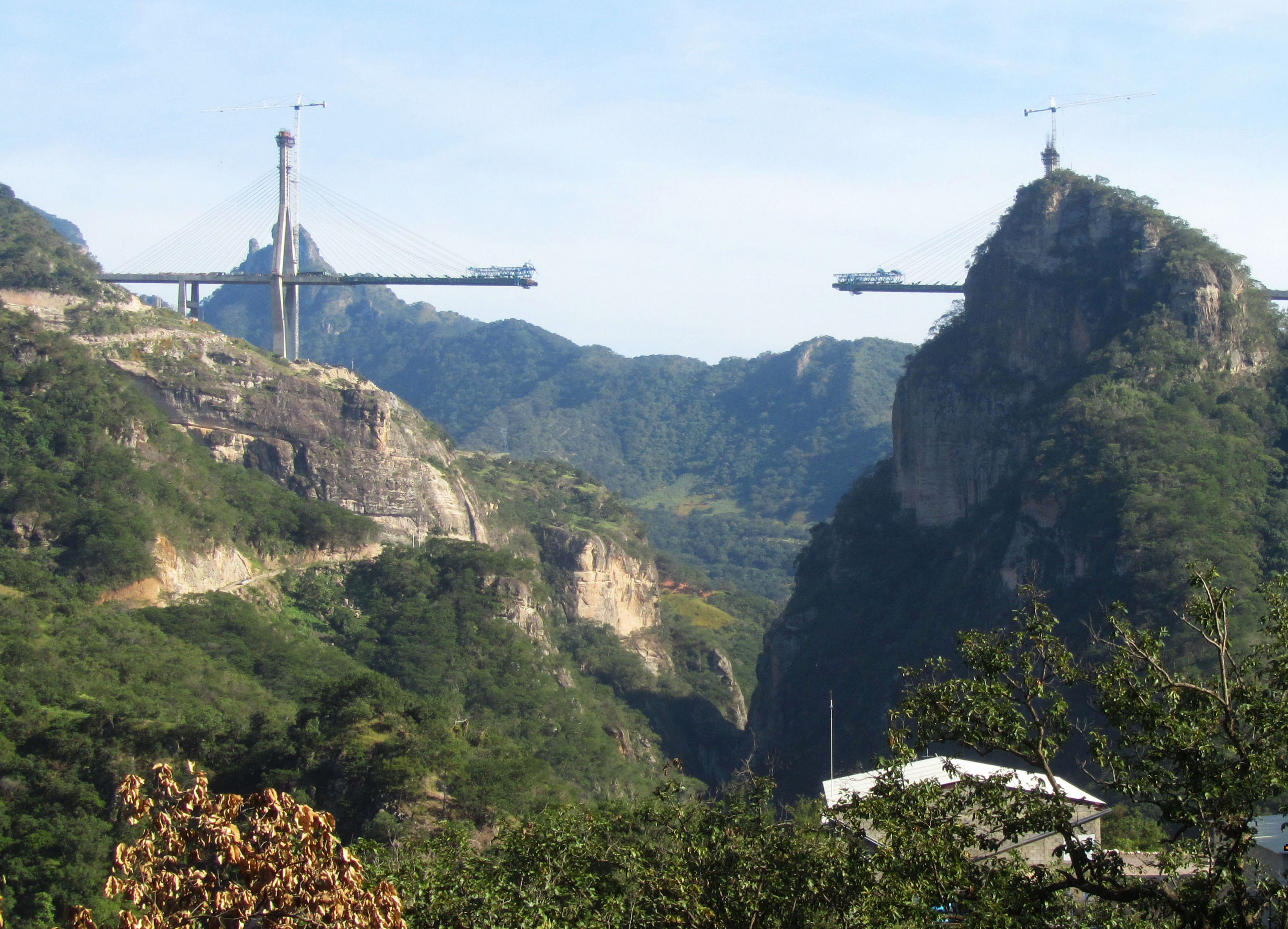
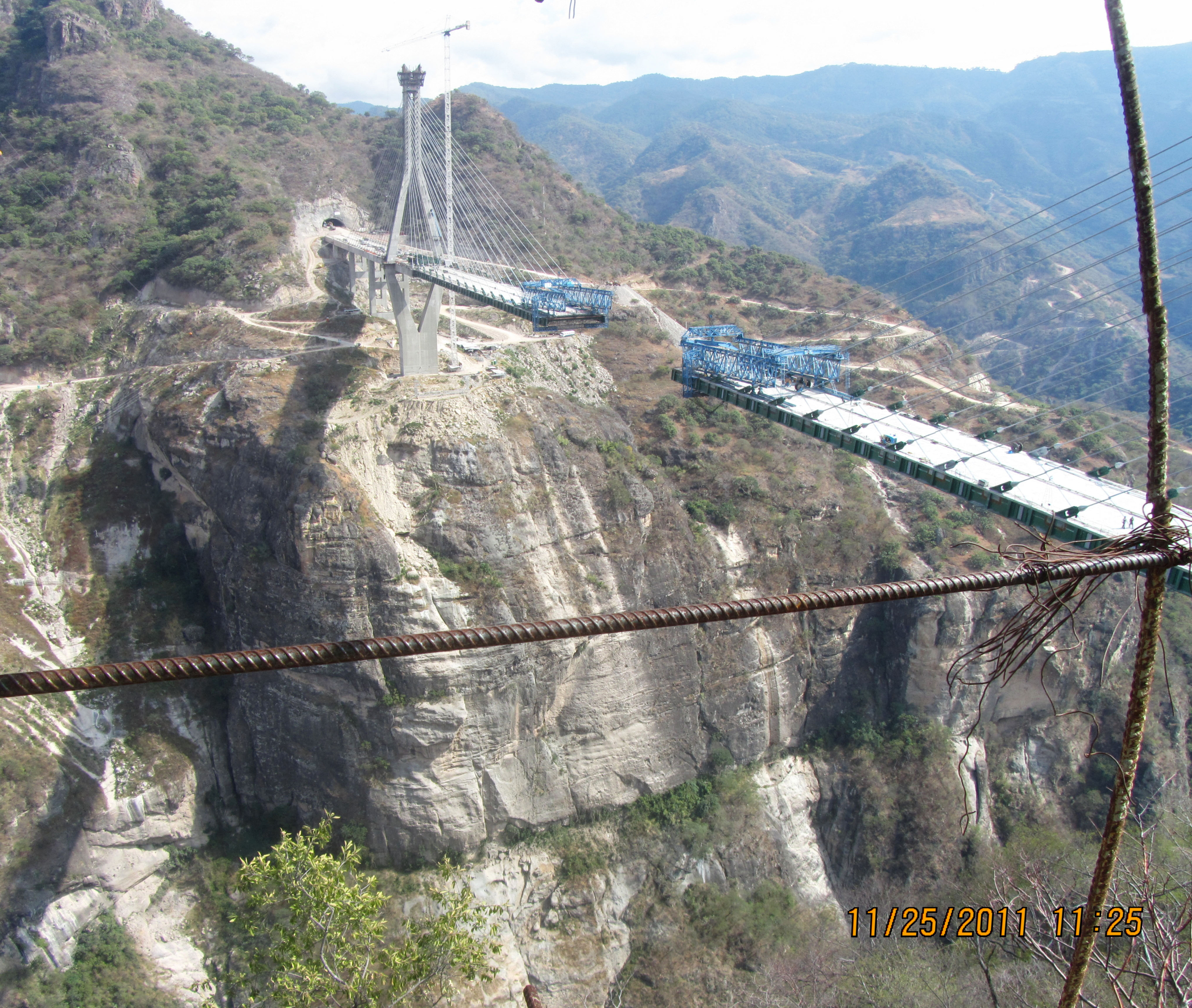
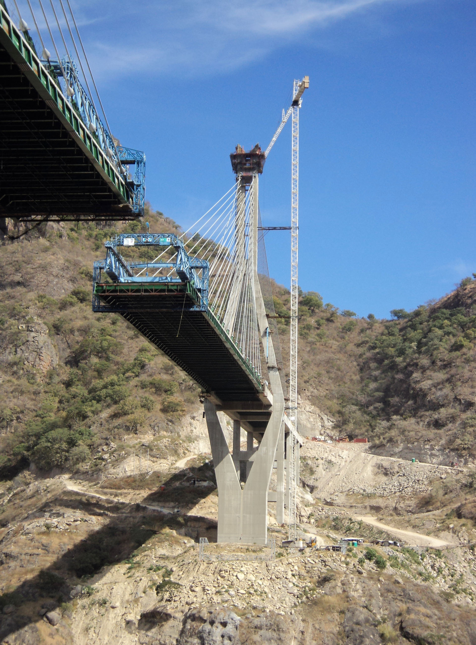
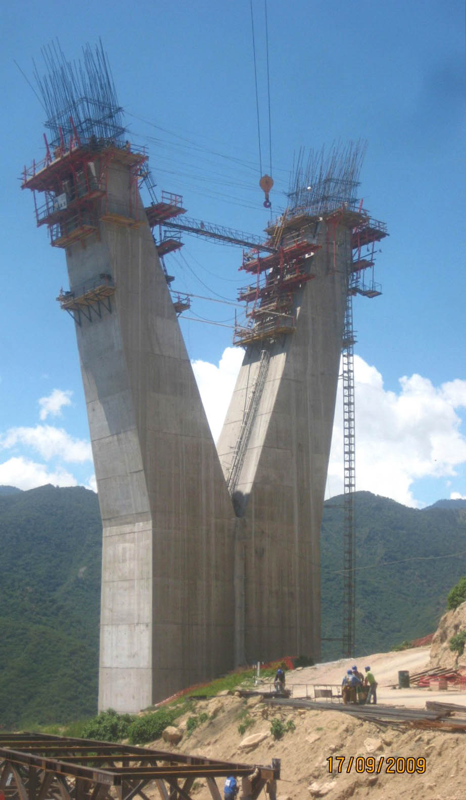
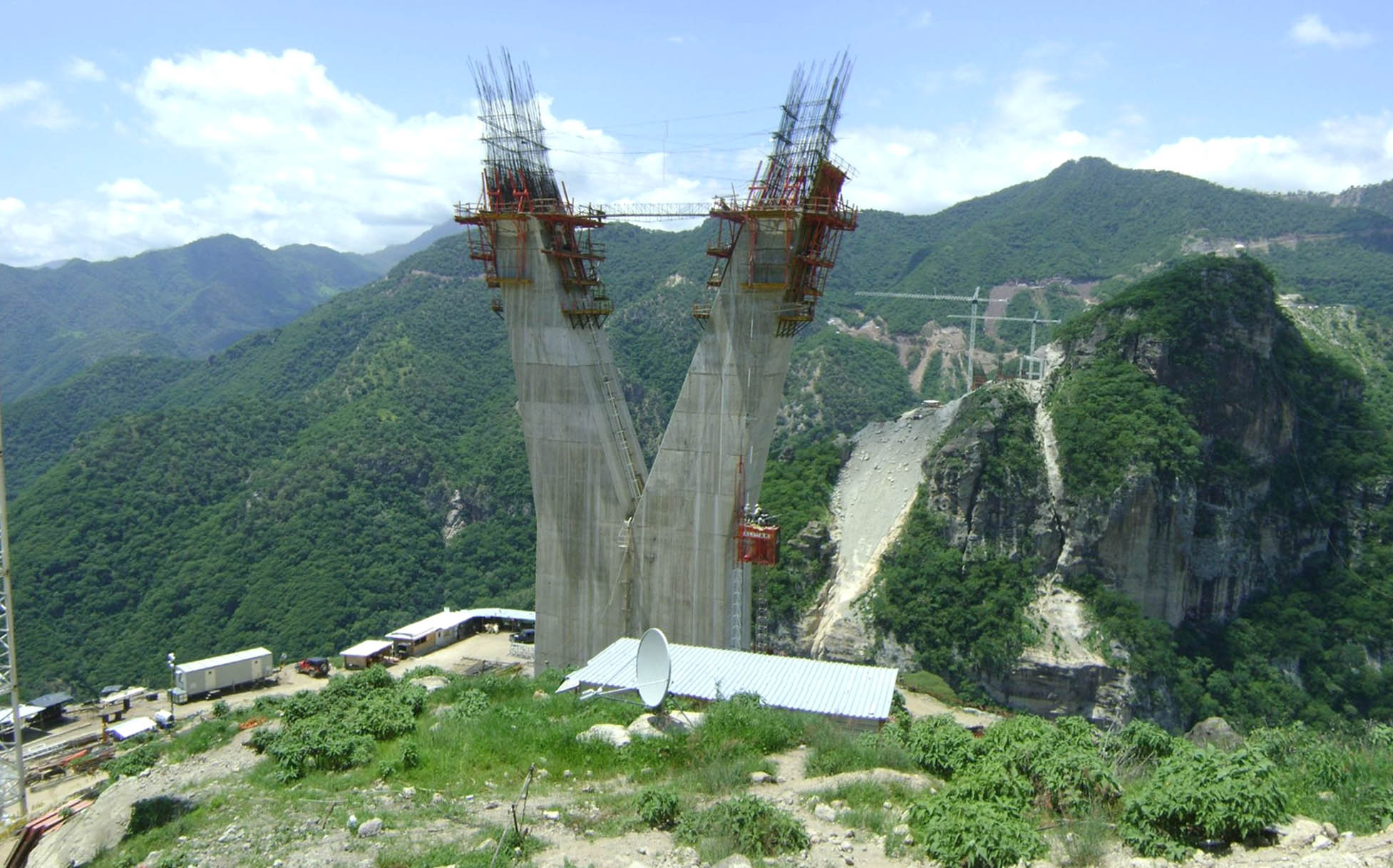
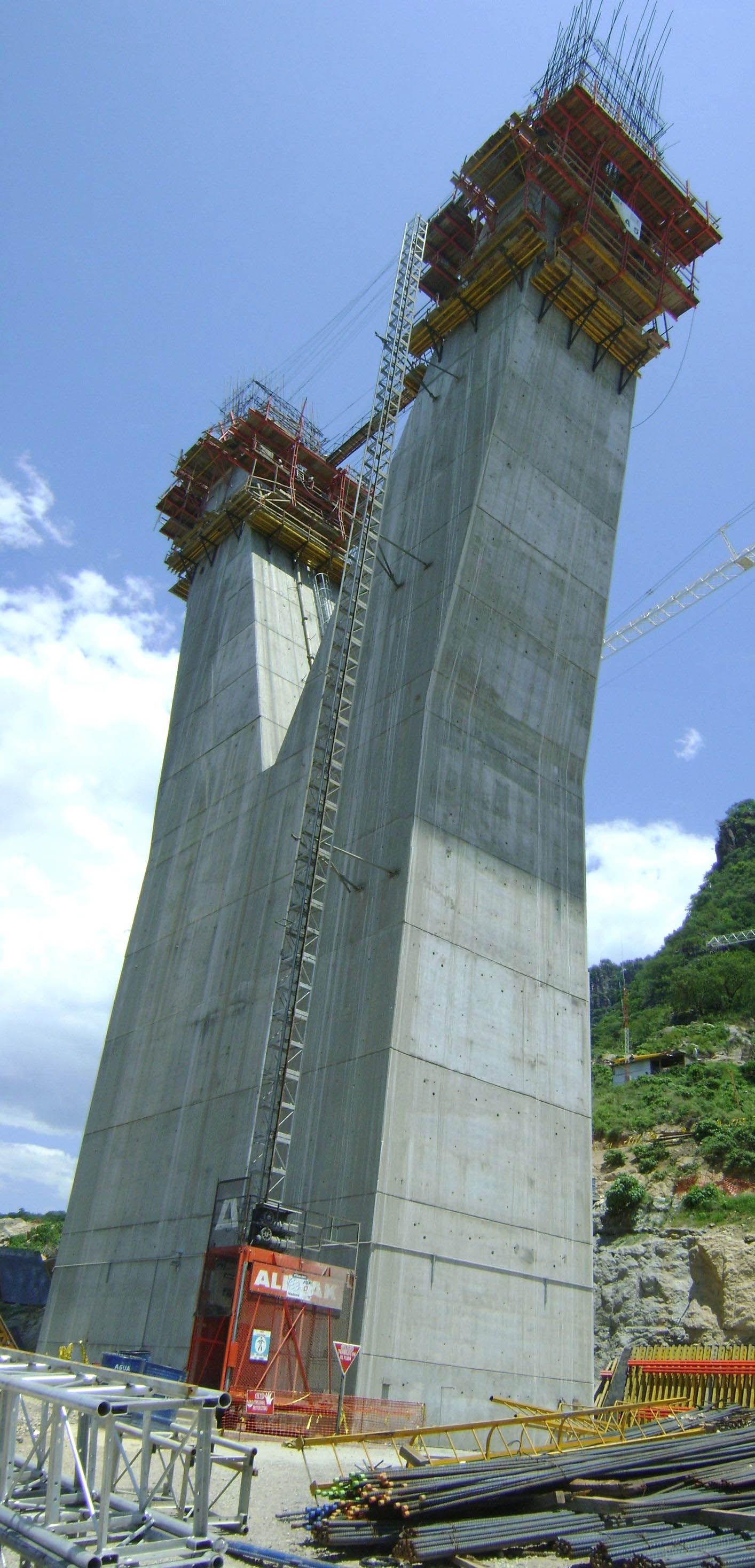
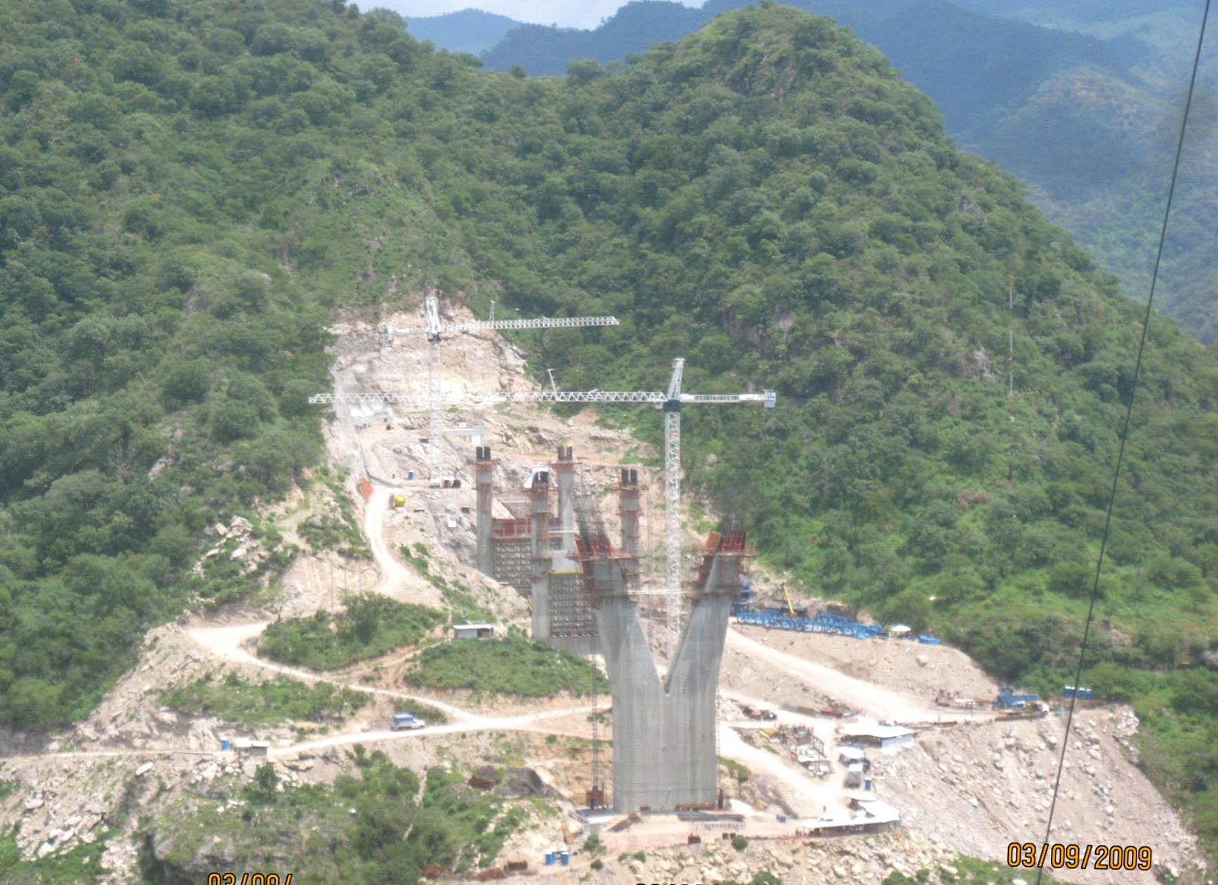
The V-shaped support of the shorter main tower on the Sinaloa side takes shape high up on the edge of the gorge. Image by Grupo Triada / Owner SCT
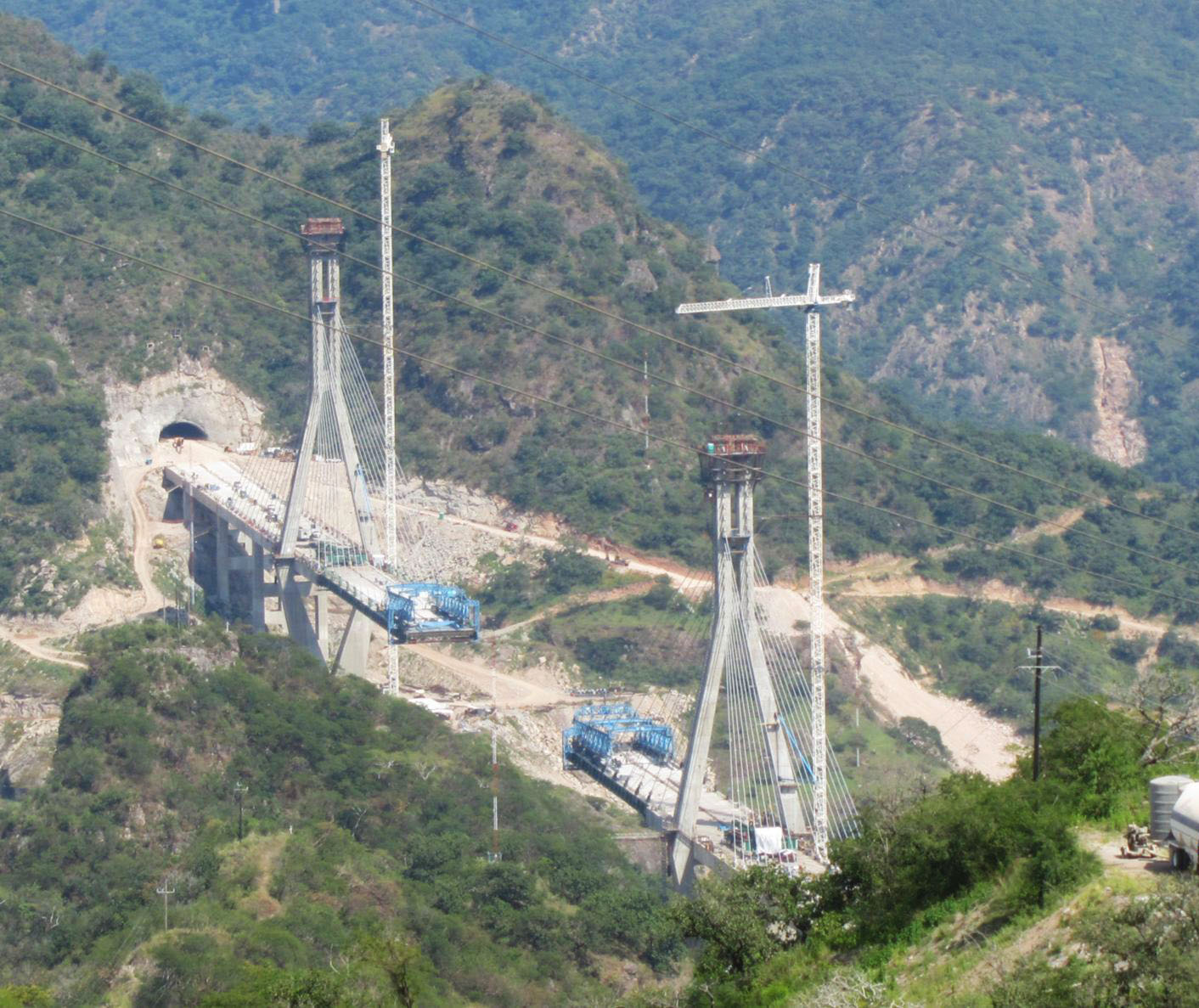
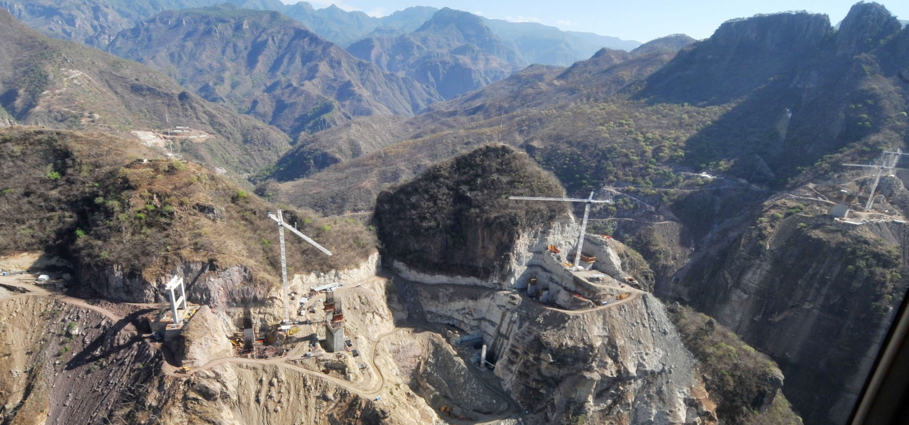
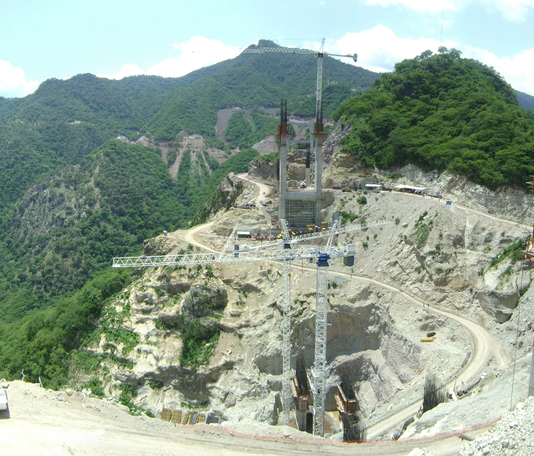
Temporary office and work buildings surround the base of the main tower on the Durango side. Image by Grupo Triada / Owner SCT
Image by Grupo Triada / Owner SCT
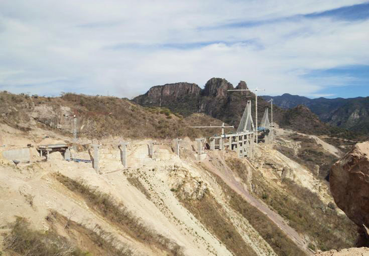
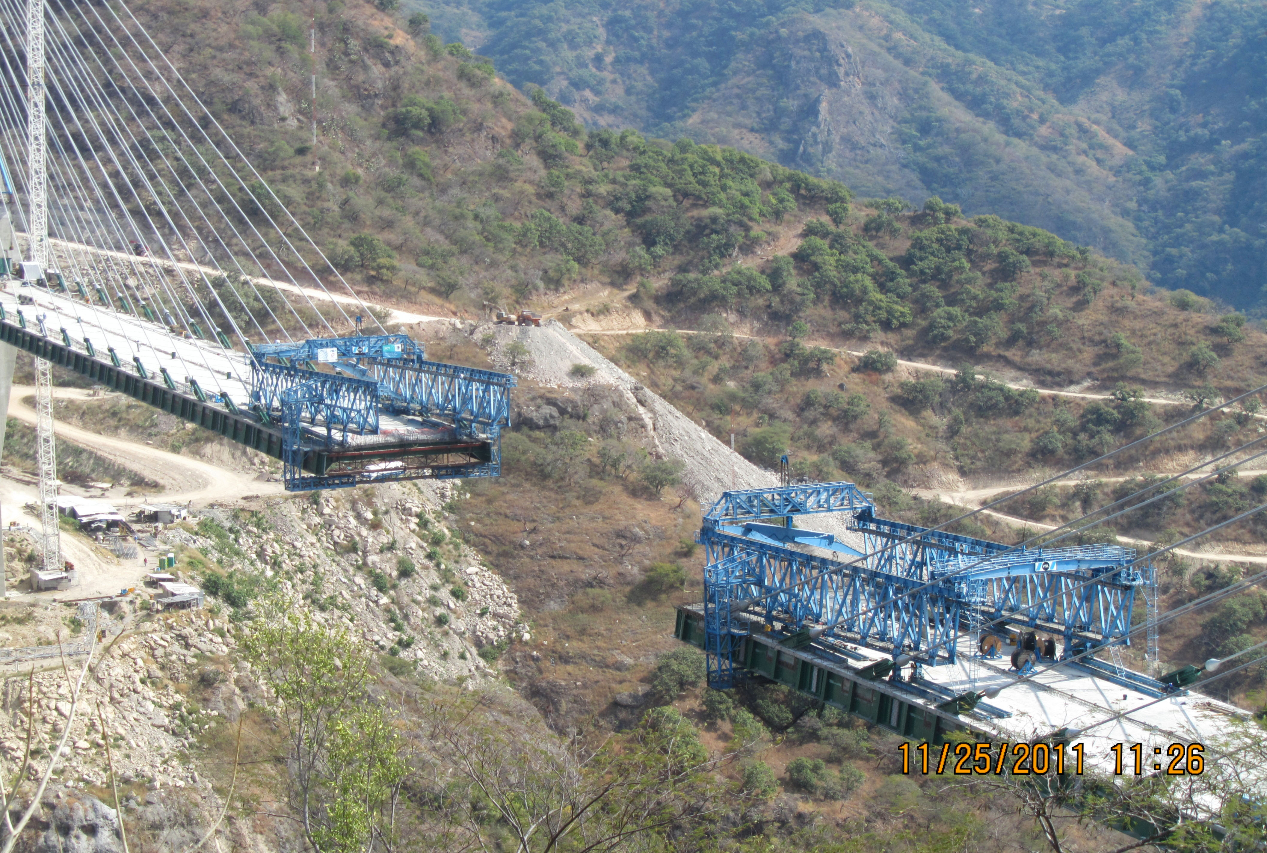
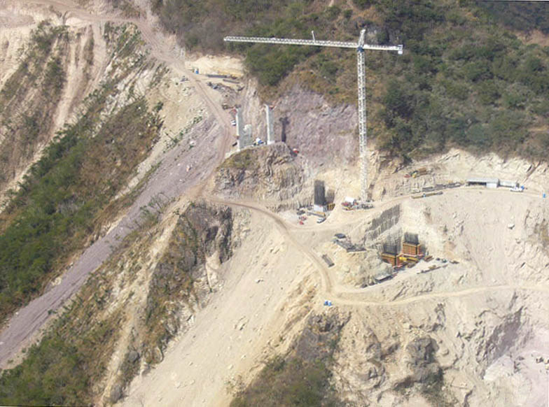
The western approach spans on the Sinaloa side cross a canyon more than 400 feet (122 mtrs) deep. If listed as a separate bridge, it would rank among Mexico's 10 highest bridges. Image by Grupo Triada / Owner SCT
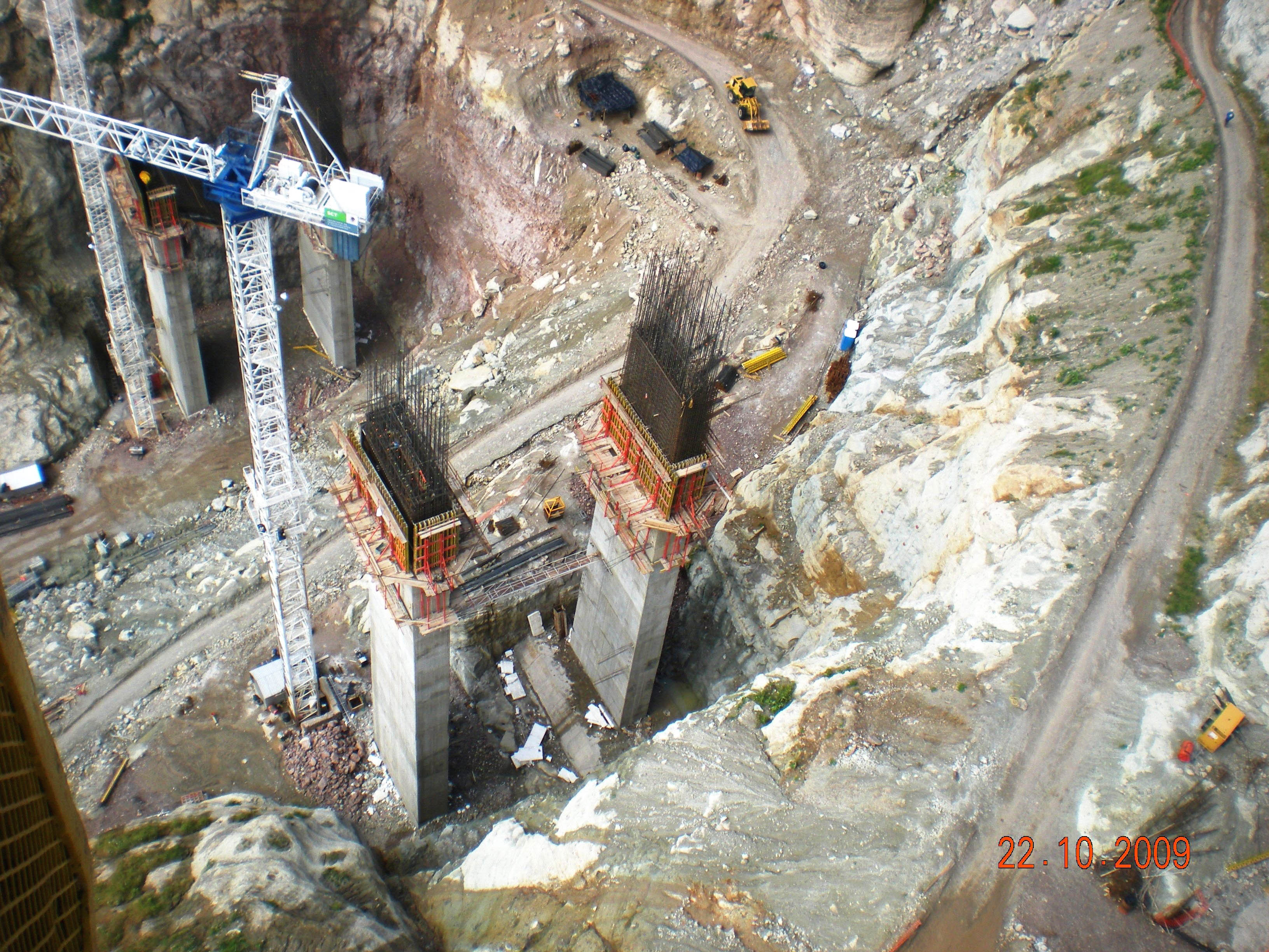
Looking down to the bottom of the 400 foot (122 mtr) deep canyon and piers 8 and 9. Image by Grupo Triada / Owner SCT
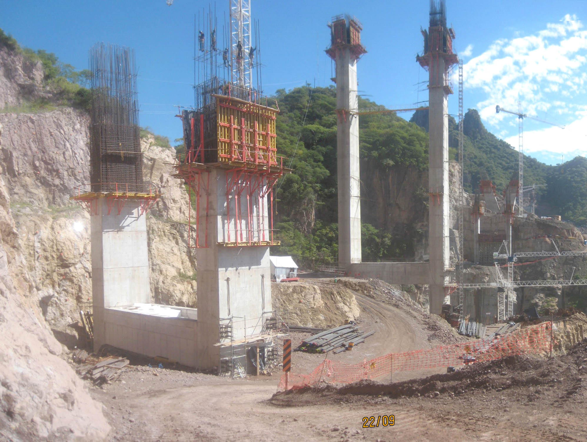
A view of pier 10 on the Sinaloa side. Image by Grupo Triada / Owner SCT
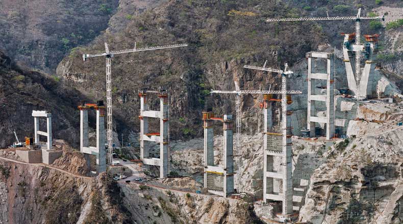
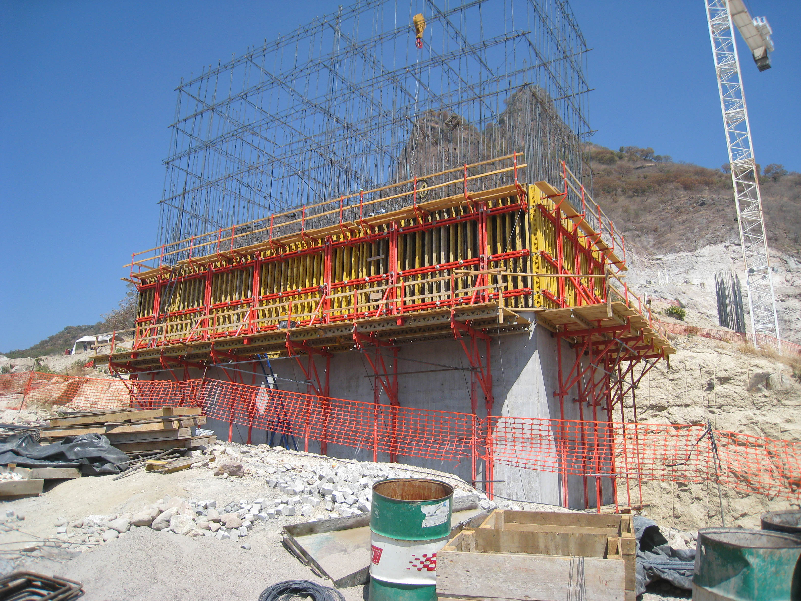
Image by Peri.dk.
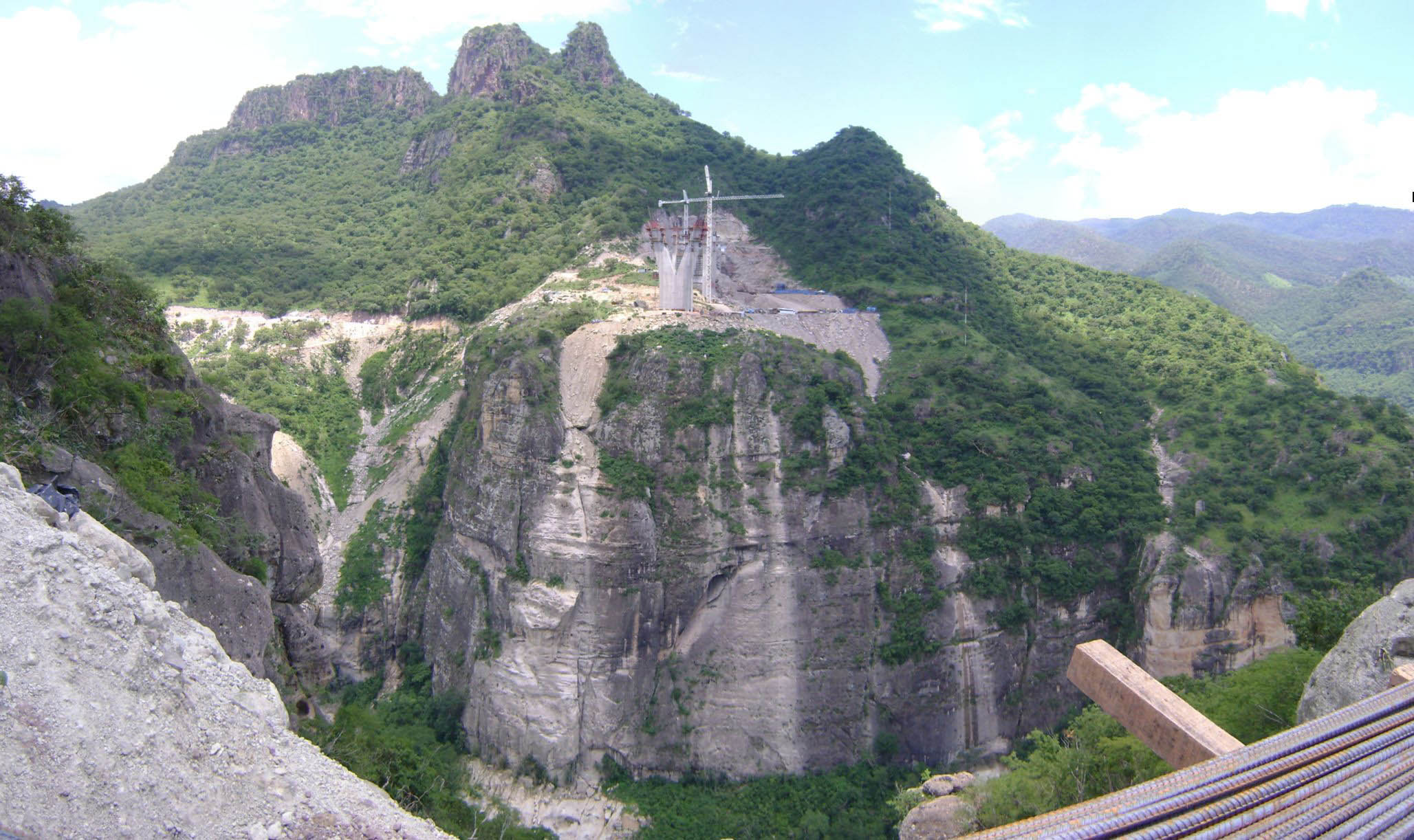
A clean rock face marks the spot where the Durango side tunnel will punch through the mountain. Image by Grupo Triada / Owner SCT
Image by Grupo Triada / Owner SCT
An early construction view before the piers had risen above the ground. Image by Tradeco
Early construction view of piers 9,10,11 and 12.
Baluarte Bridge aerial.
Baluarte Bridge model.
Baluarte Bridge model.
Baluarte Bridge model.
Baluarte Bridge model.
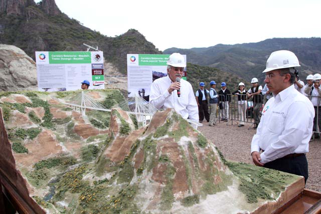
Baluarte Bridge model and President Felipe Calderón.
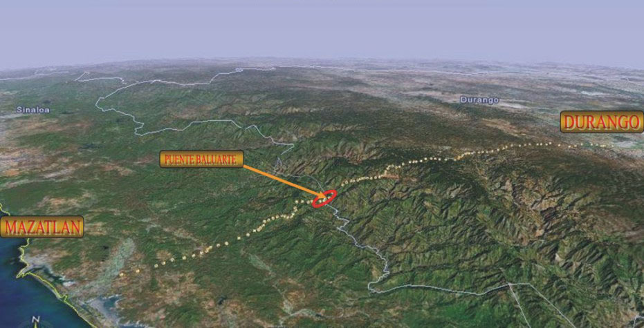
Map of Durango-Mazatlan Highway route and the Baluarte River bridge location.
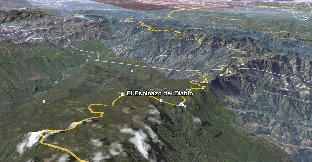
Topographic Image of the original Devil's Backbone road.
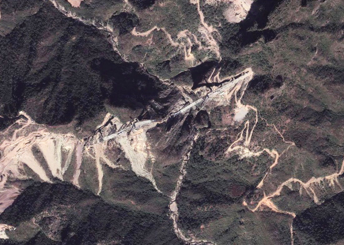
Satellite image of Baluarte bridge.
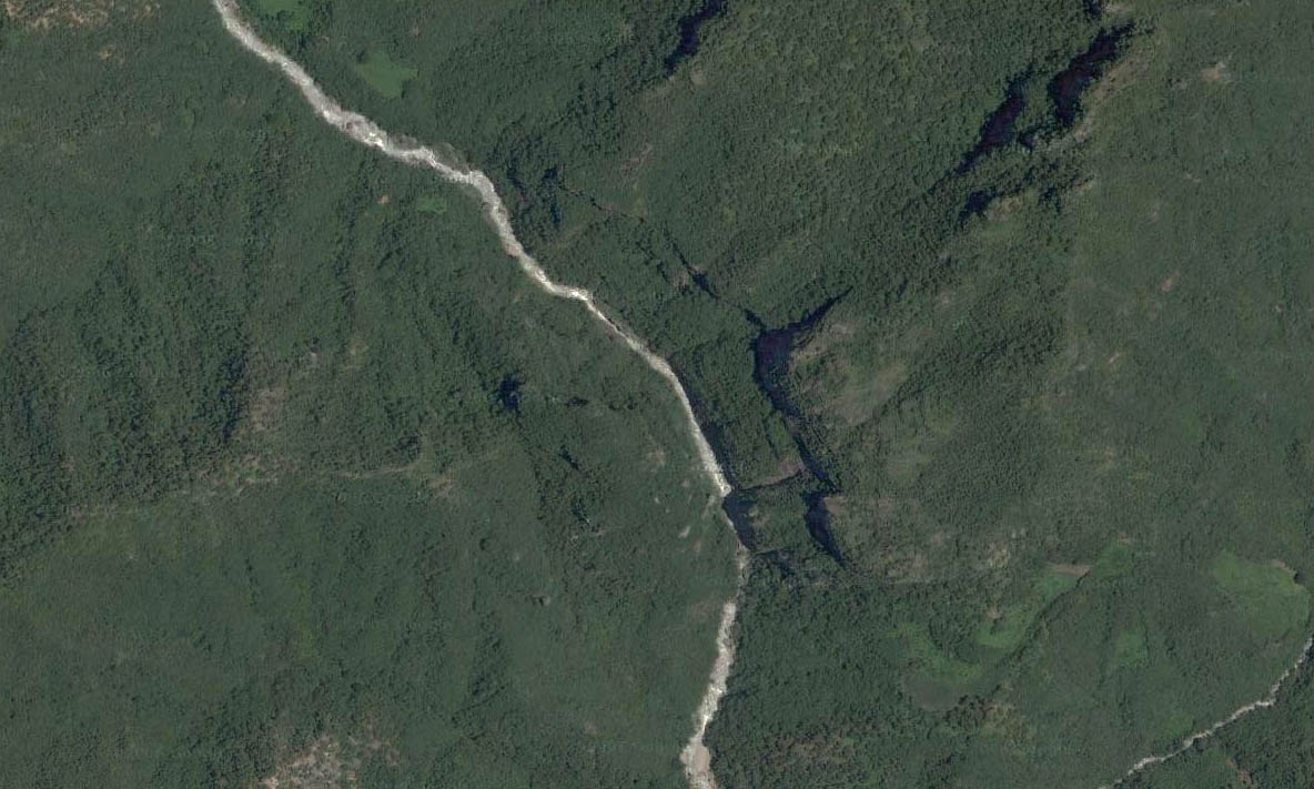
Satellite image of Baluarte bridge location before construction began.
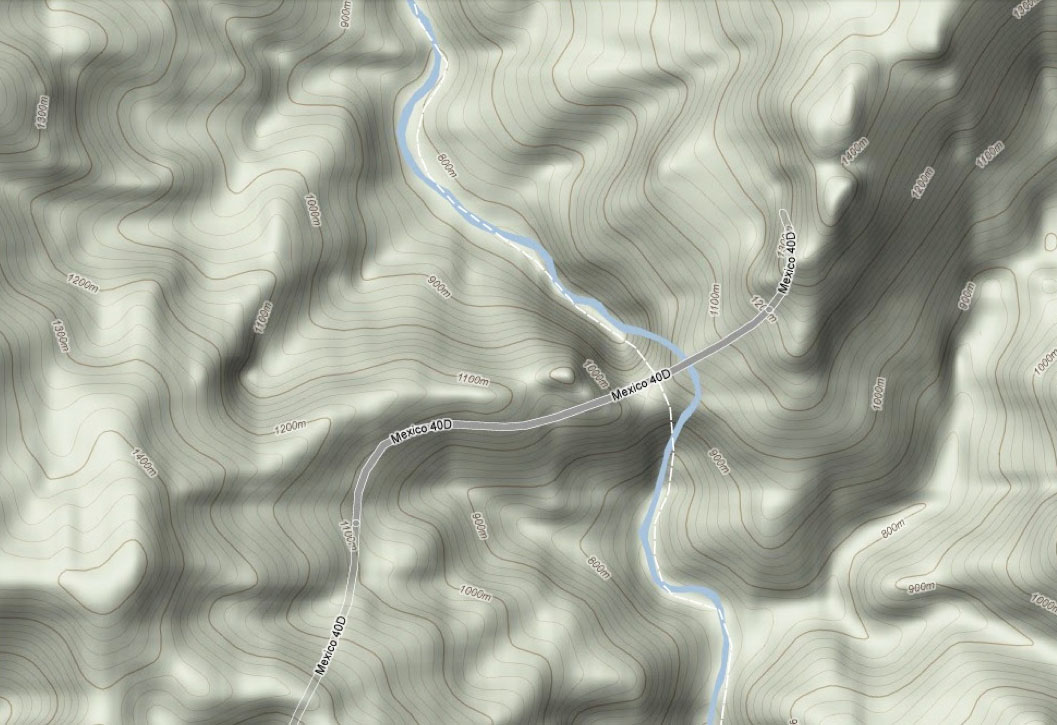
Topo plan of the Baluarte Bridge crossing.
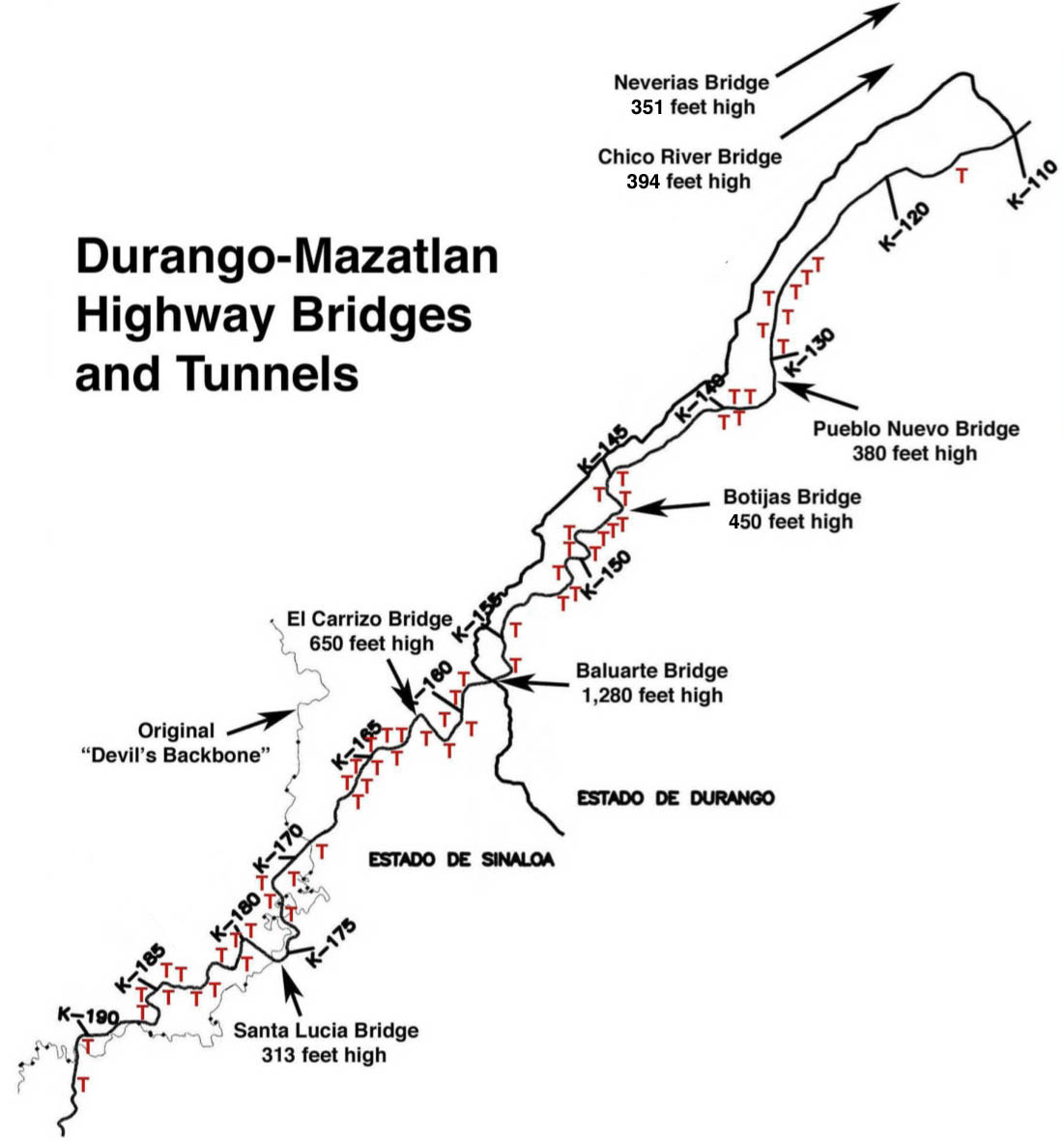
Map of the Durango-Mazatlan highway showing the location of the 9 highest bridges and 59 of the 63 tunnels. The Neverías, La Pinta and Rio Chico bridges were completed between 2005 and 2008 and are open to traffic. The rest of the highway will open in 2012.
The central 44 mile (70 km) stretch of highway will have more than 11 miles (18 kms) of tunnels! The most tunneled U.S. highway - The Pennsylvania Turnpike - has only 4 miles.
