File:WoluoheLocationMapWide.jpg
From HighestBridges.com
Jump to navigationJump to search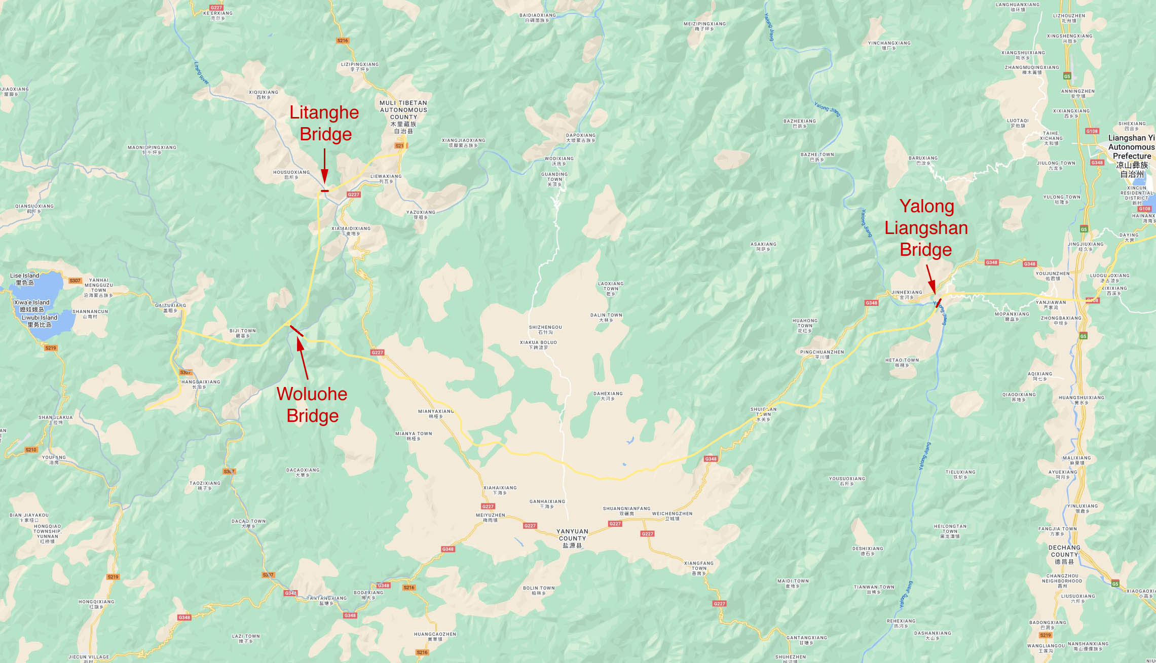
Size of this preview: 800 × 459 pixels. Other resolutions: 320 × 184 pixels | 2,281 × 1,309 pixels.
Original file (2,281 × 1,309 pixels, file size: 420 KB, MIME type: image/jpeg)
Summary
Woluohe Location Map.
File history
Click on a date/time to view the file as it appeared at that time.
| Date/Time | Thumbnail | Dimensions | User | Comment | |
|---|---|---|---|---|---|
| current | 03:16, 4 February 2023 | | 2,281 × 1,309 (420 KB) | Sakowski (talk | contribs) | Woluohe Location Map. |
You cannot overwrite this file.
File usage
The following 3 pages use this file: