Auburn-Foresthill Bridge
Auburn-Foresthill Bridge
Auburn, California, United States
730 feet high / 223 meters high
862 foot span / 263 meter span
1973
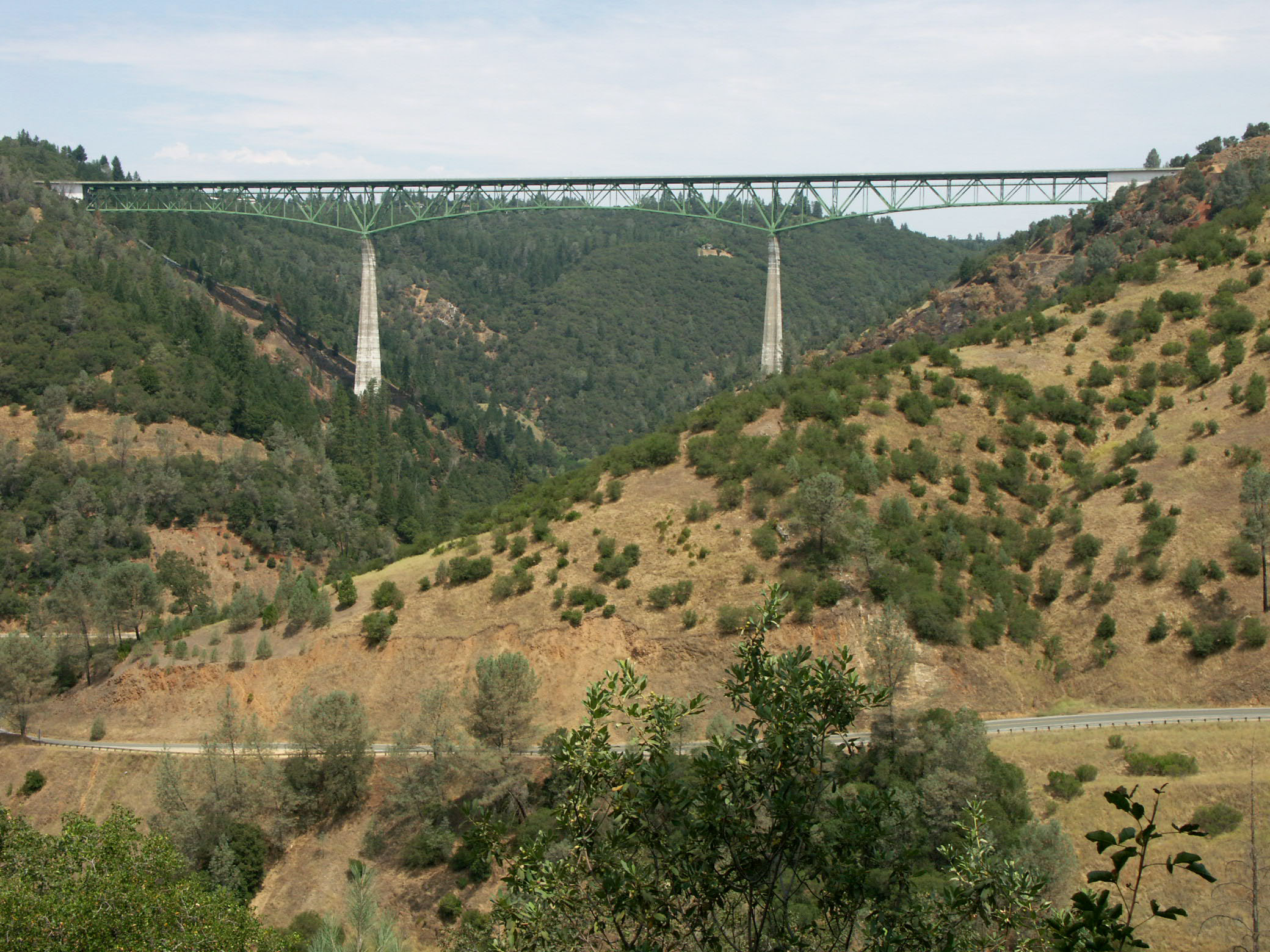
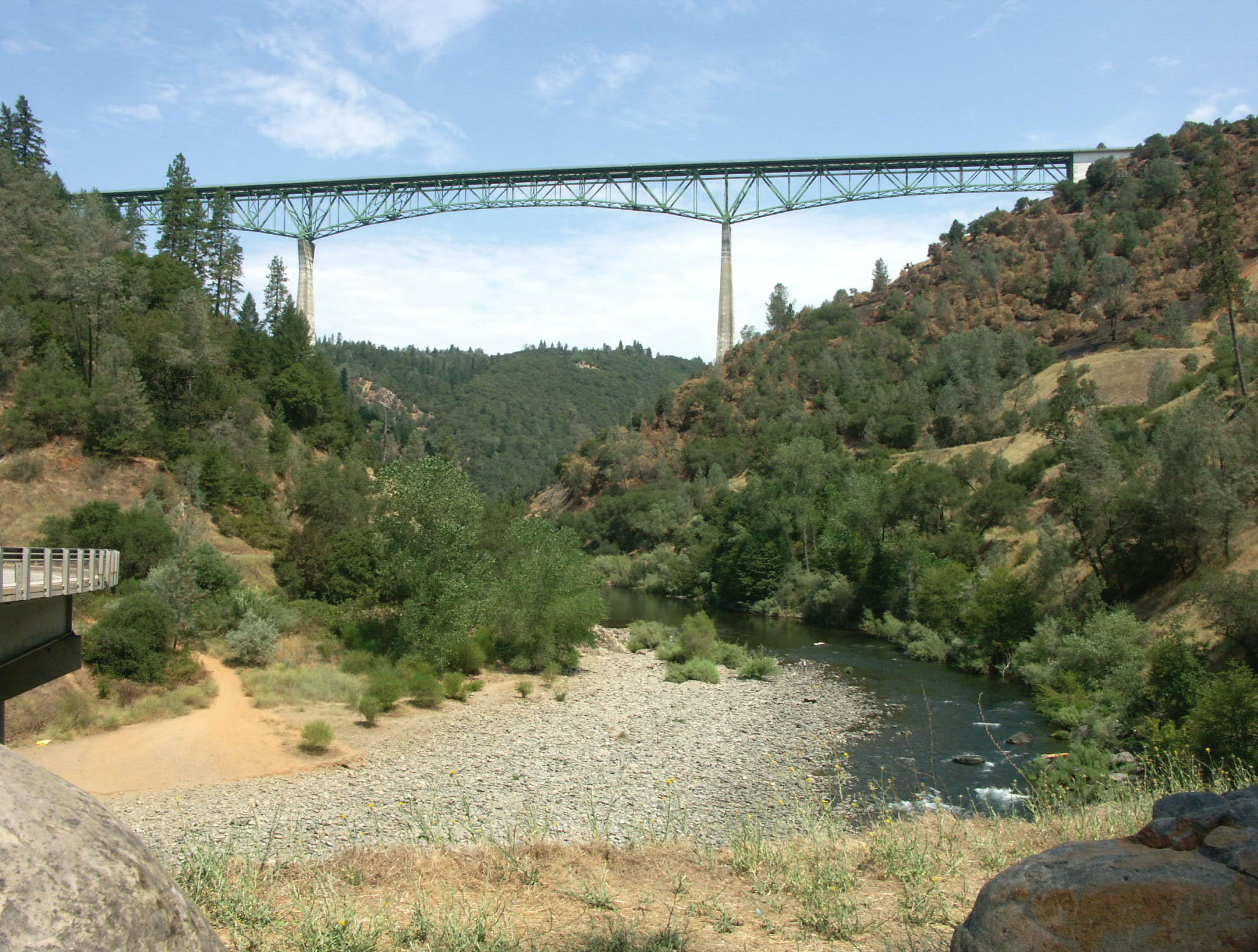
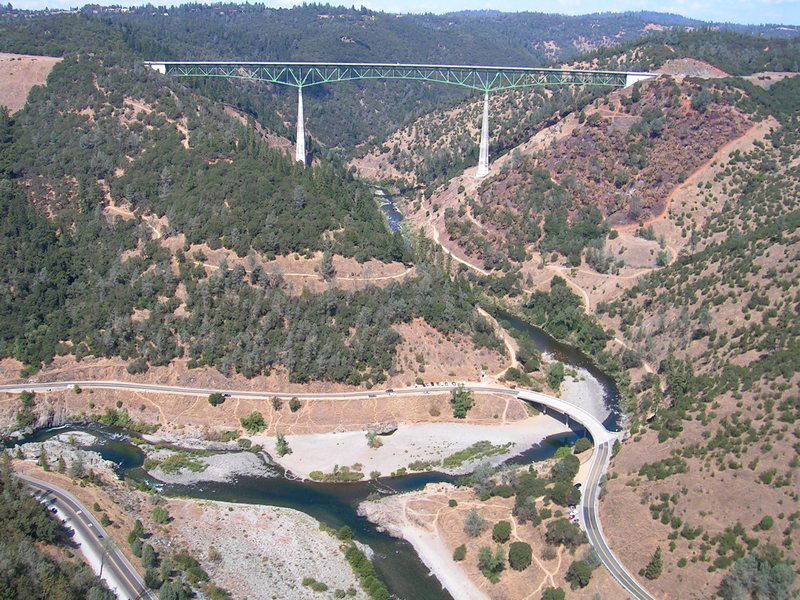
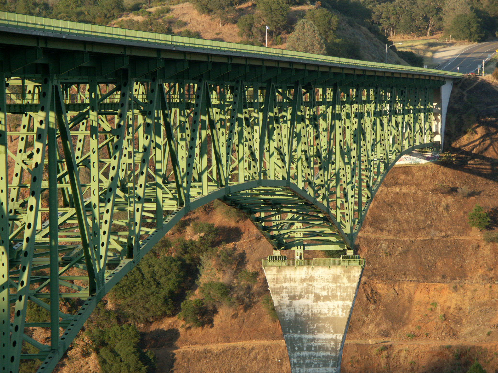
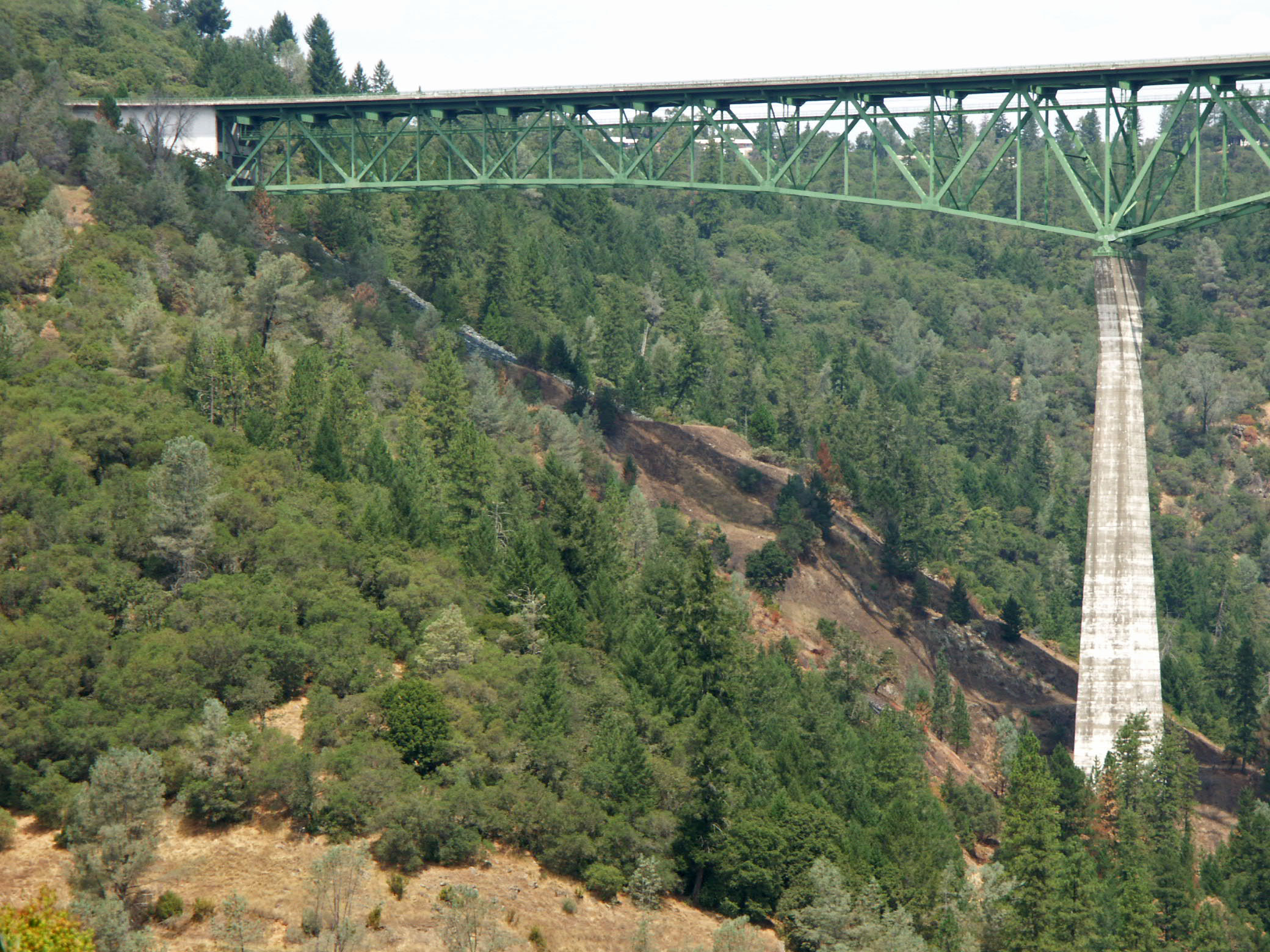
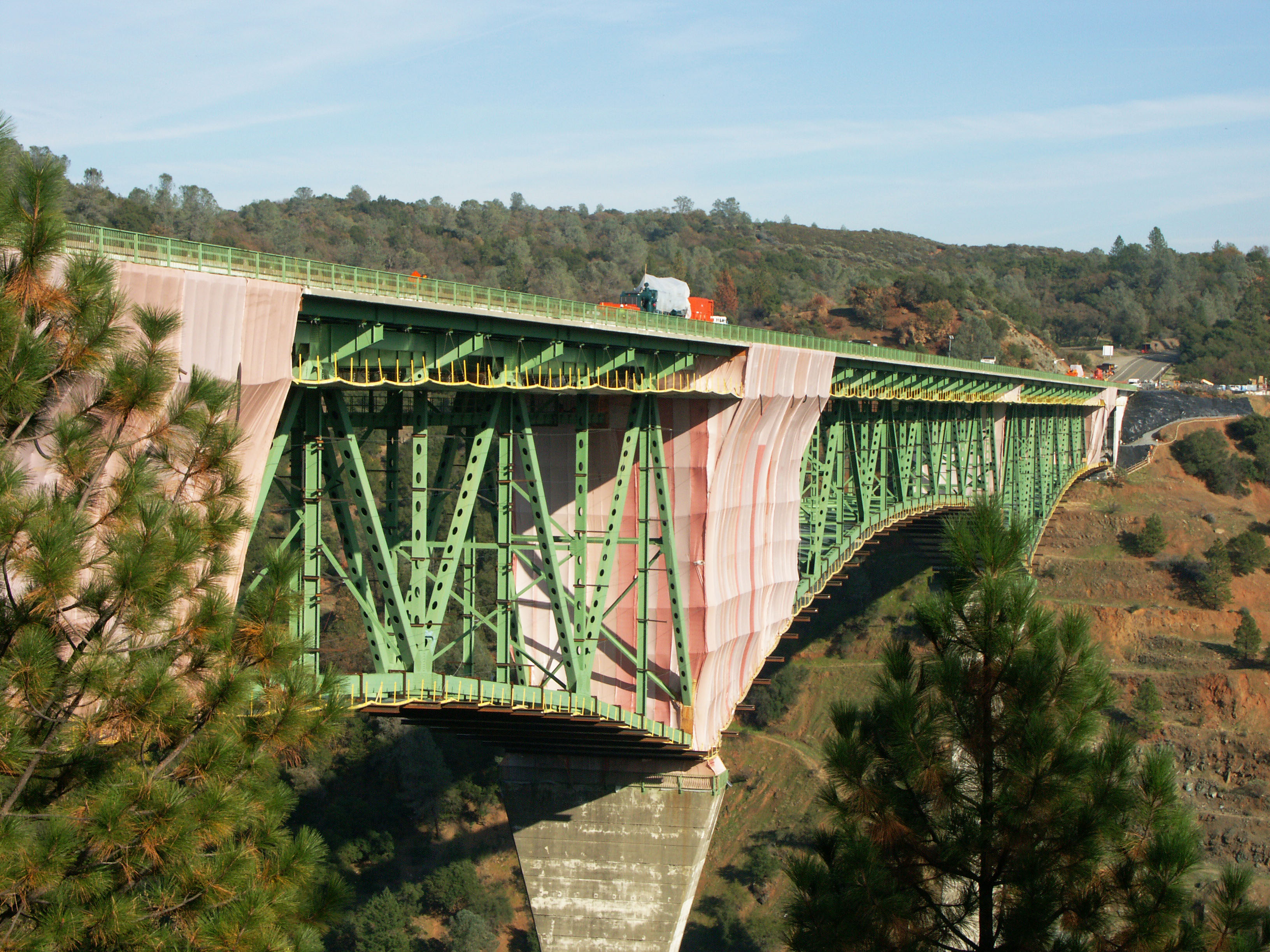
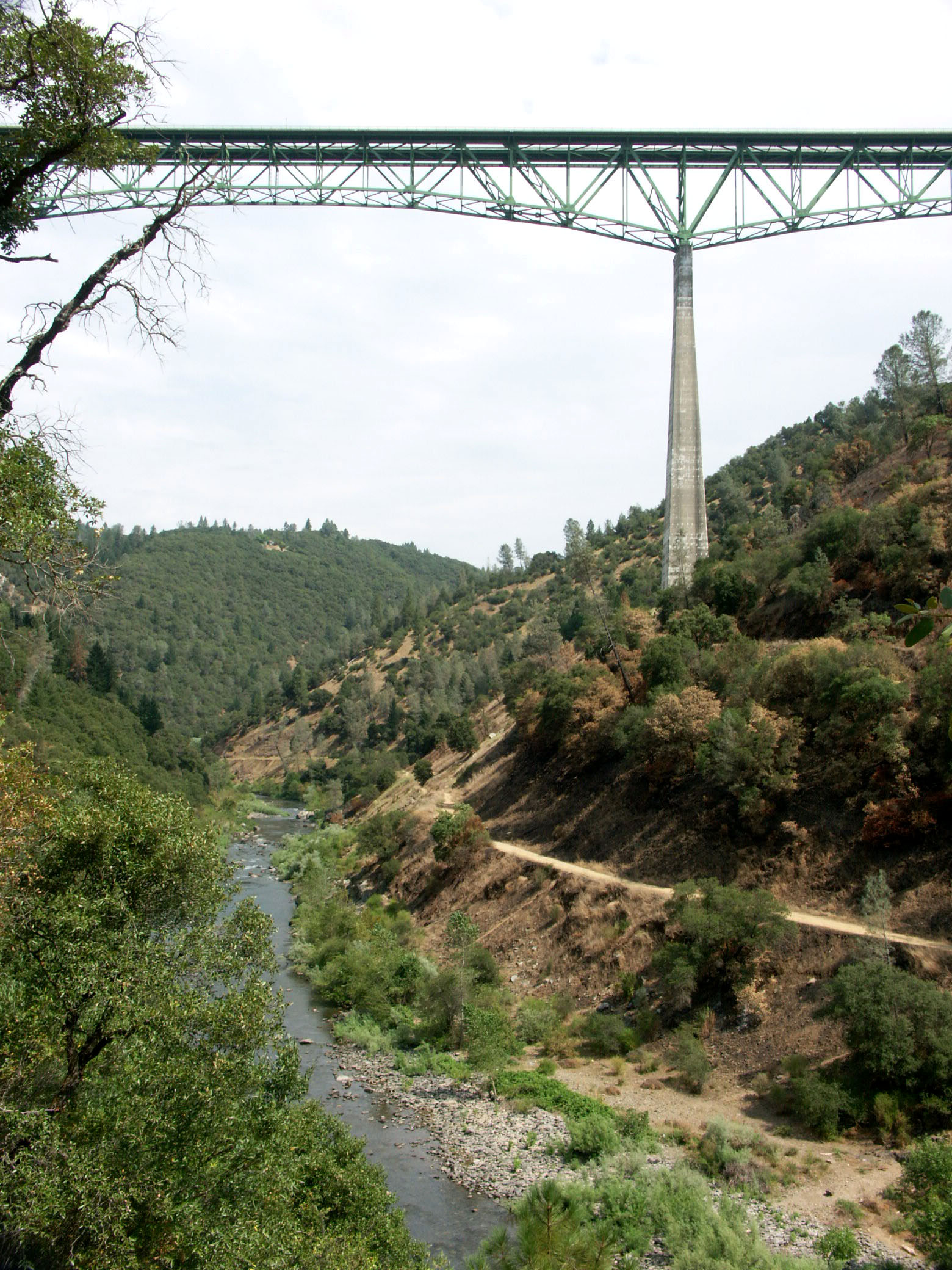
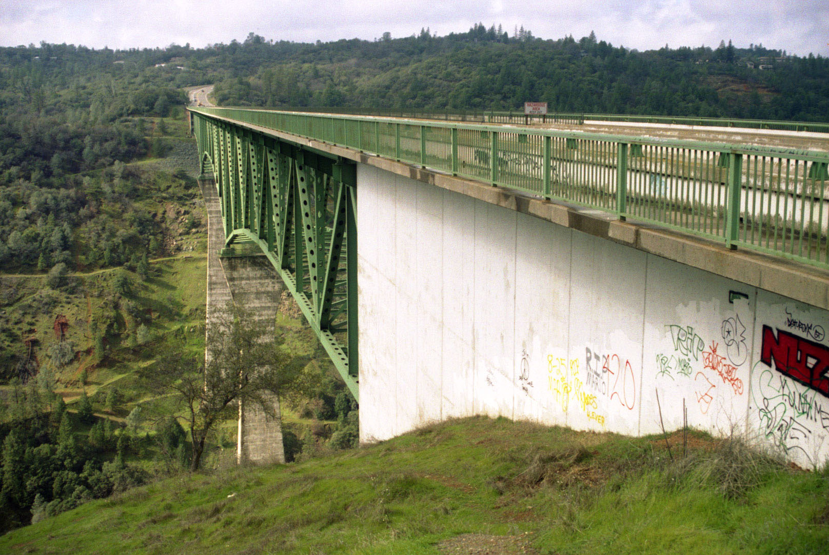
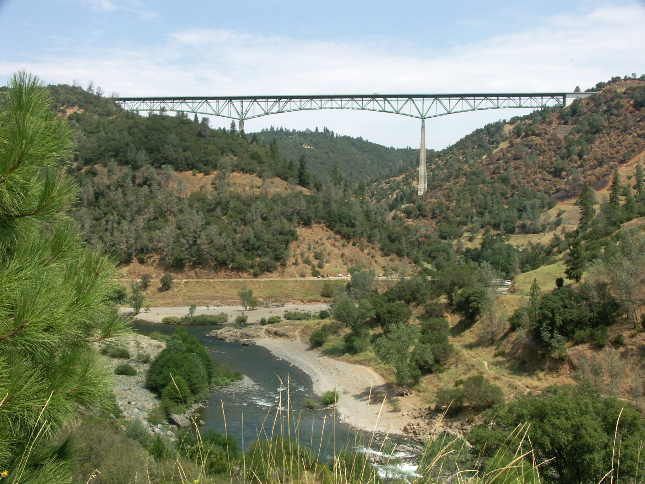
The second highest bridge in the world upon its opening in 1973, the Auburn-Foresthill bridge is still among the 5 highest bridges in the United States. Although it is no longer even among the 125 highest bridges in the world, the 730 foot (223 mtr) high green giant still has the distinction of being the world’s highest cantilever bridge.
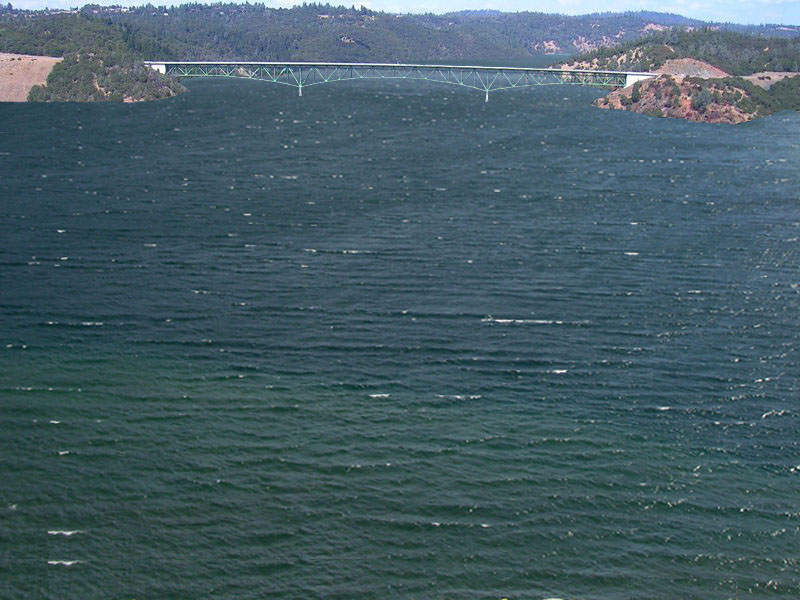
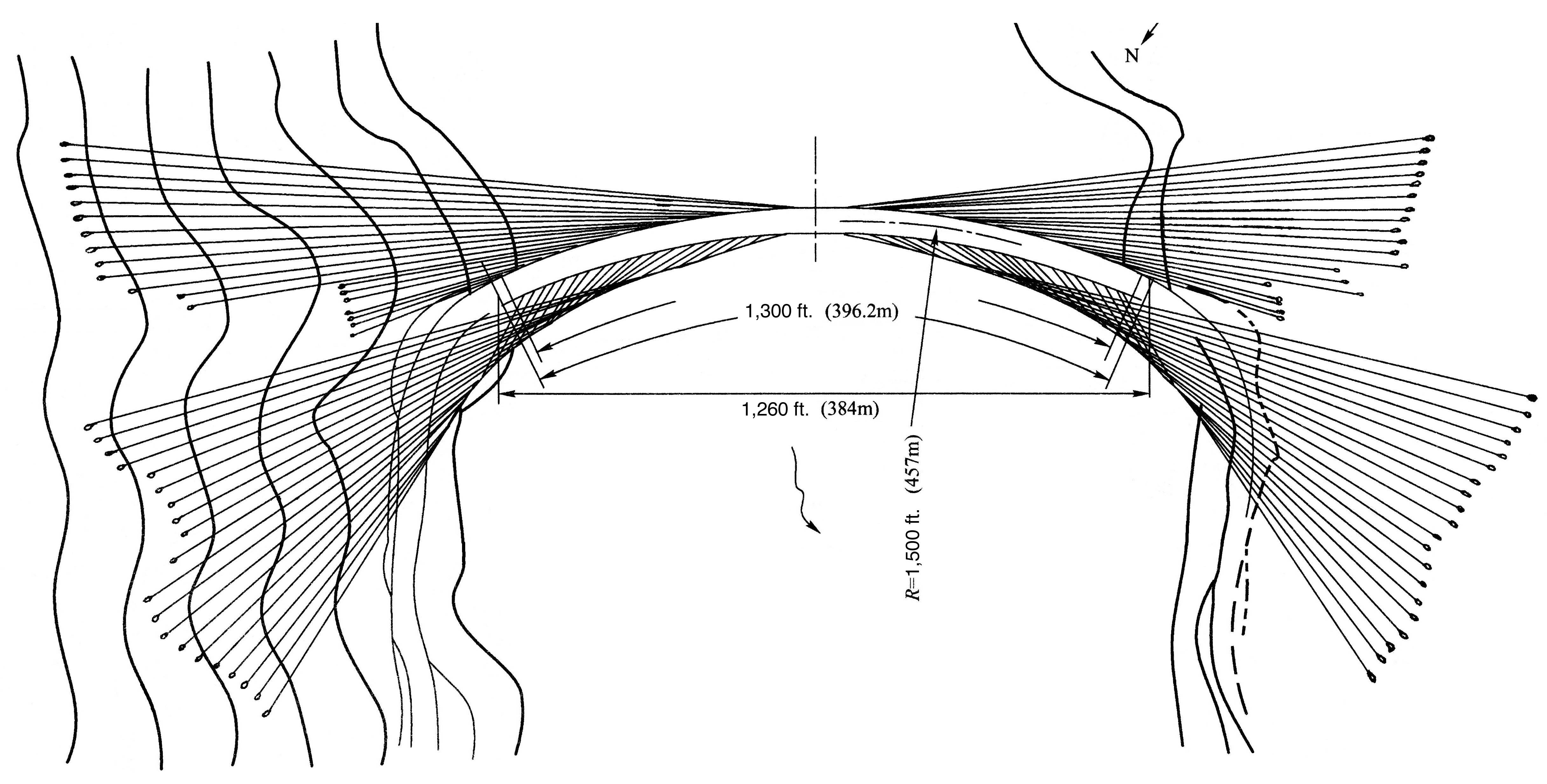
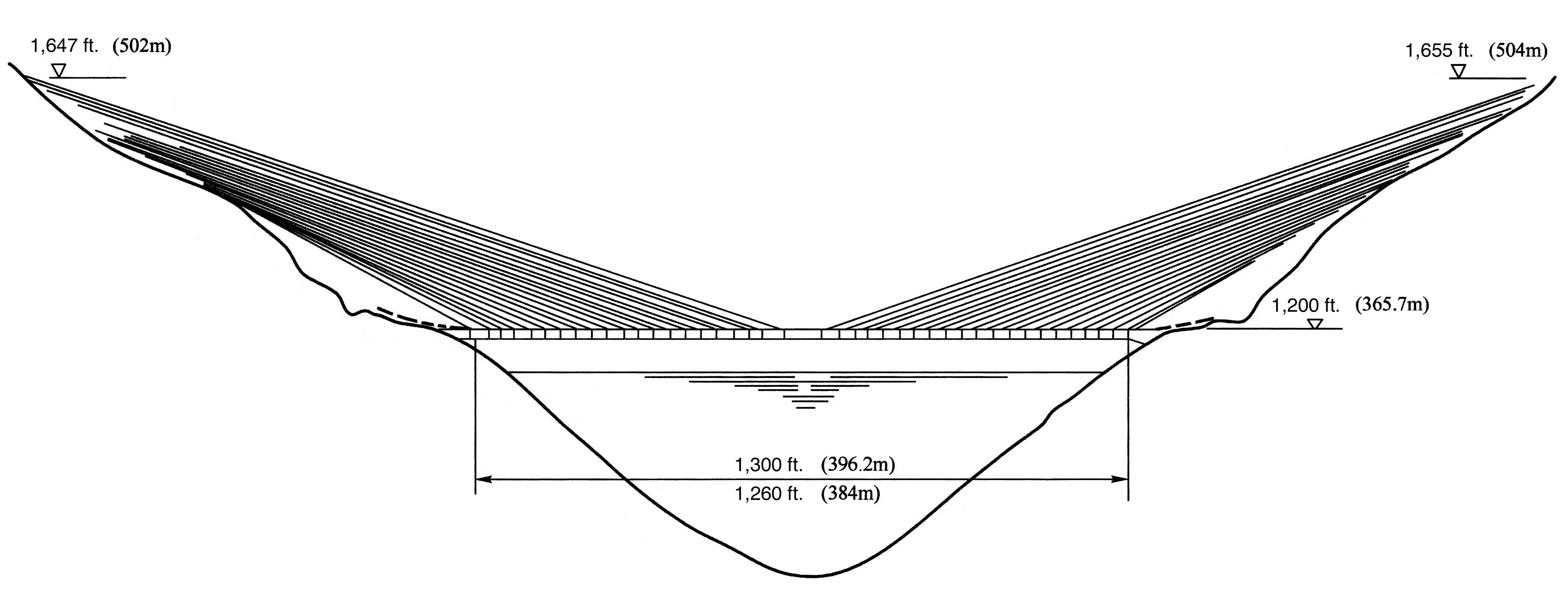
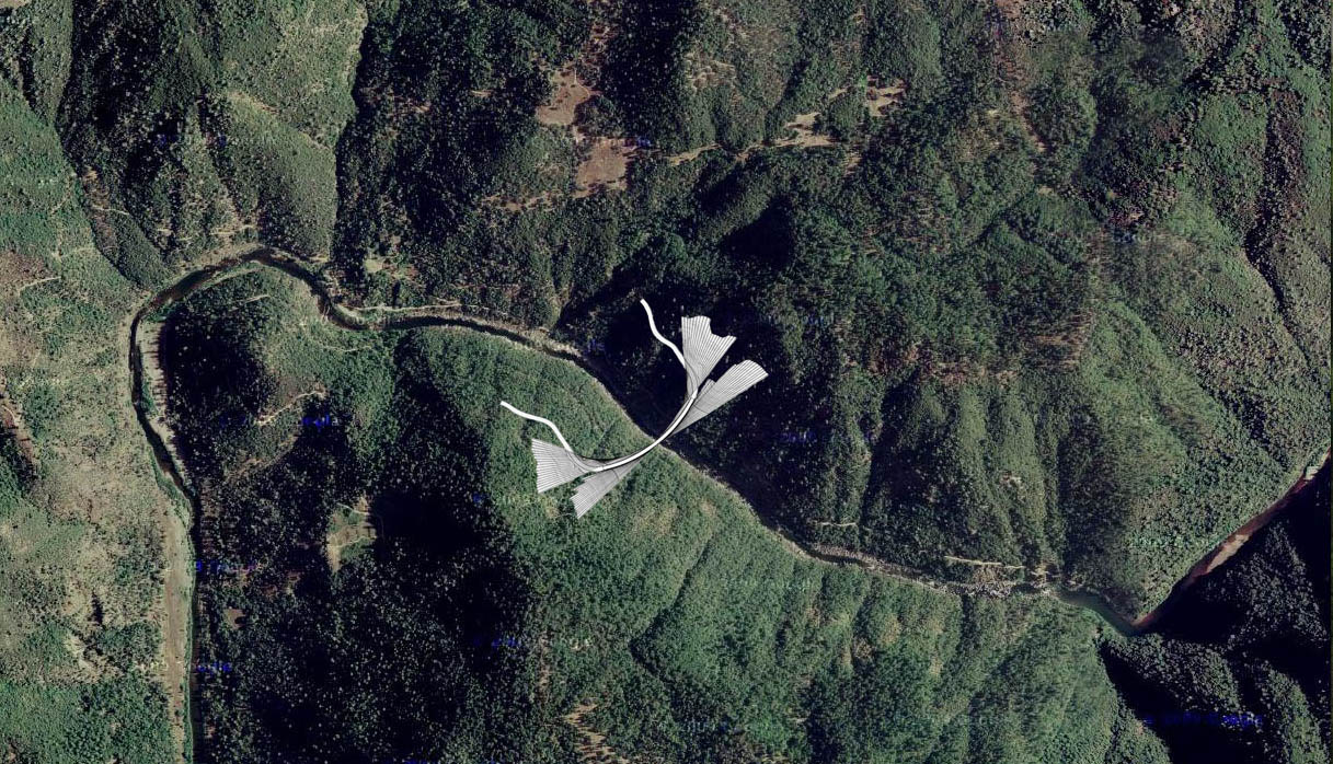
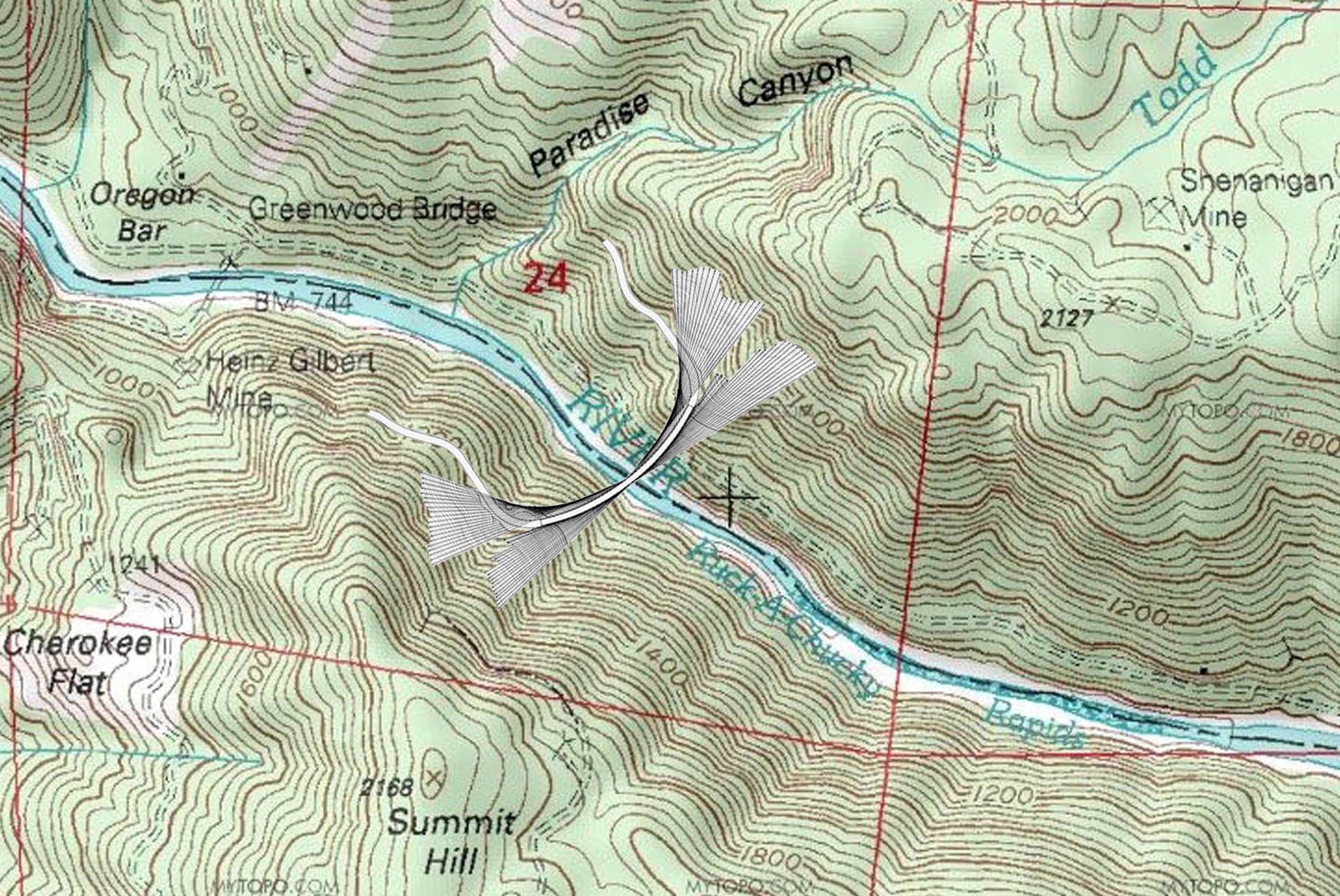
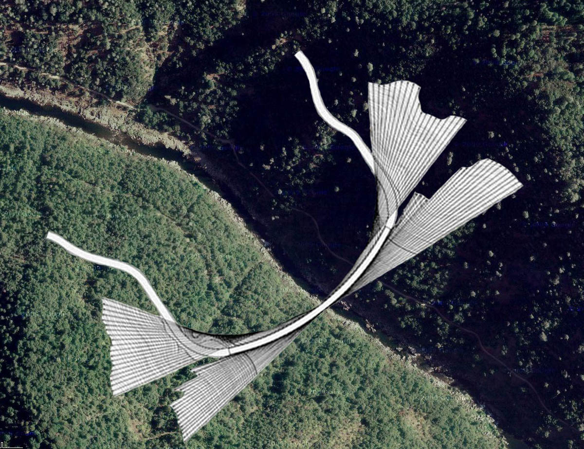
Ironically, the Auburn Foresthill bridge was built to cross a reservoir that never ended up being constructed! In the early 1970s, foundation work began on the 685 foot (209 meter) high Auburn dam east of Sacramento, California on the East Fork of the American River. Due to the huge reservoir that was expected to form behind it, engineers decided to reroute traffic across a tall bridge over the lake’s wide North Fork. After 3 years of construction, the huge cantilever span was opened in May of 1973. The dam, however, was permanently halted due to a series of unforeseen seismic studies, excessive cost overruns and other political and environmental concerns. While the bridge has become very useful to the small mountain communities in and around Foresthill, it ultimately would never have been financed without the planned reservoir. One casualty of the dam’s cancellation was an amazing cable stayed bridge that was planned for a site near Ruck-A-Chucky rapids that would have crossed the river several miles upstream from the Auburn-Foresthill bridge. Curving a full 180 degrees as it crossed the reservoir, the entire roadway would have been supported by a massive web of cable stays terminating into the mountainside. The complete lack of any towers or pier supports would have made it one of the most photogenic cable stayed bridges in the world. Hopefully the unique design will someday be used for a real bridge.
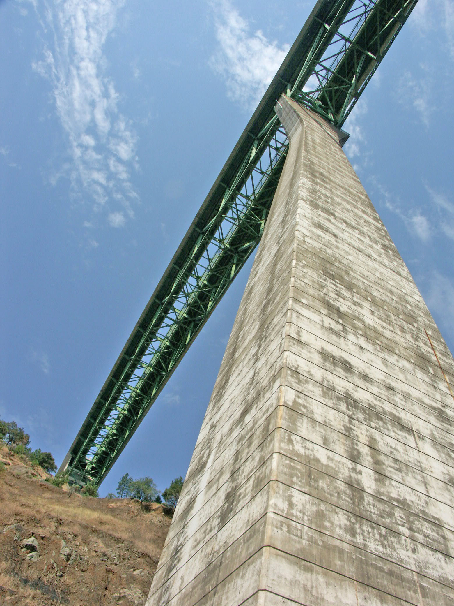
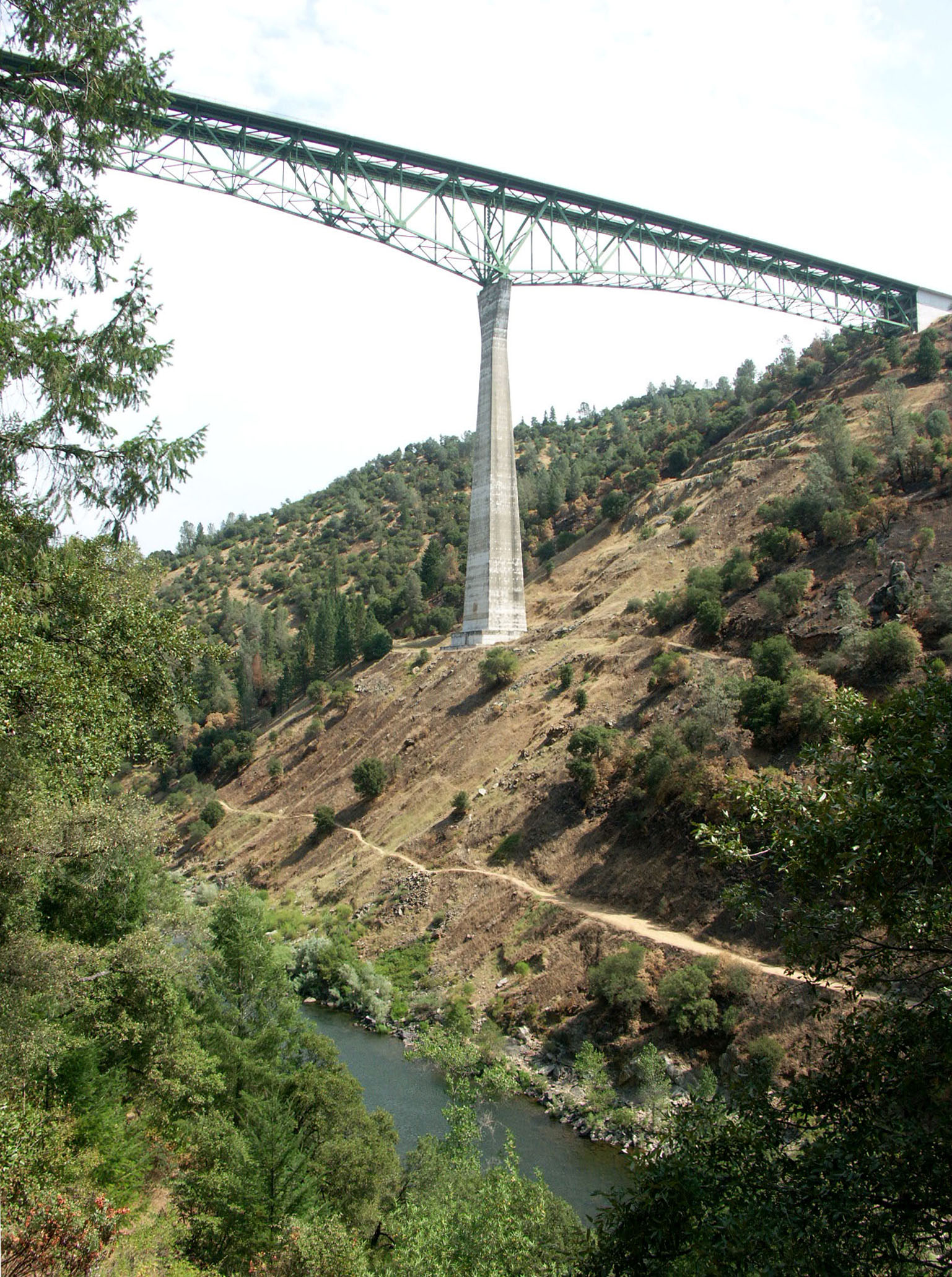
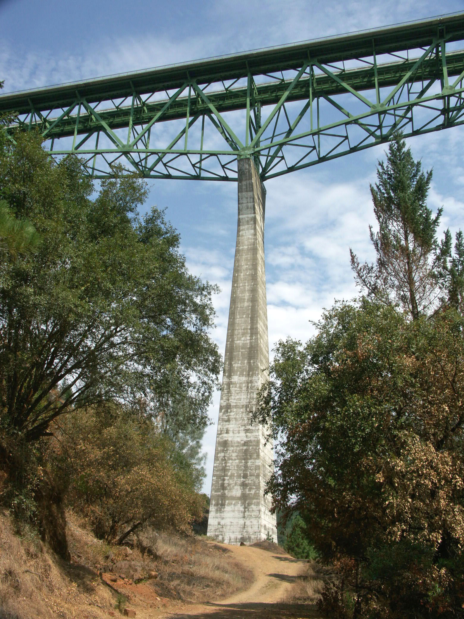
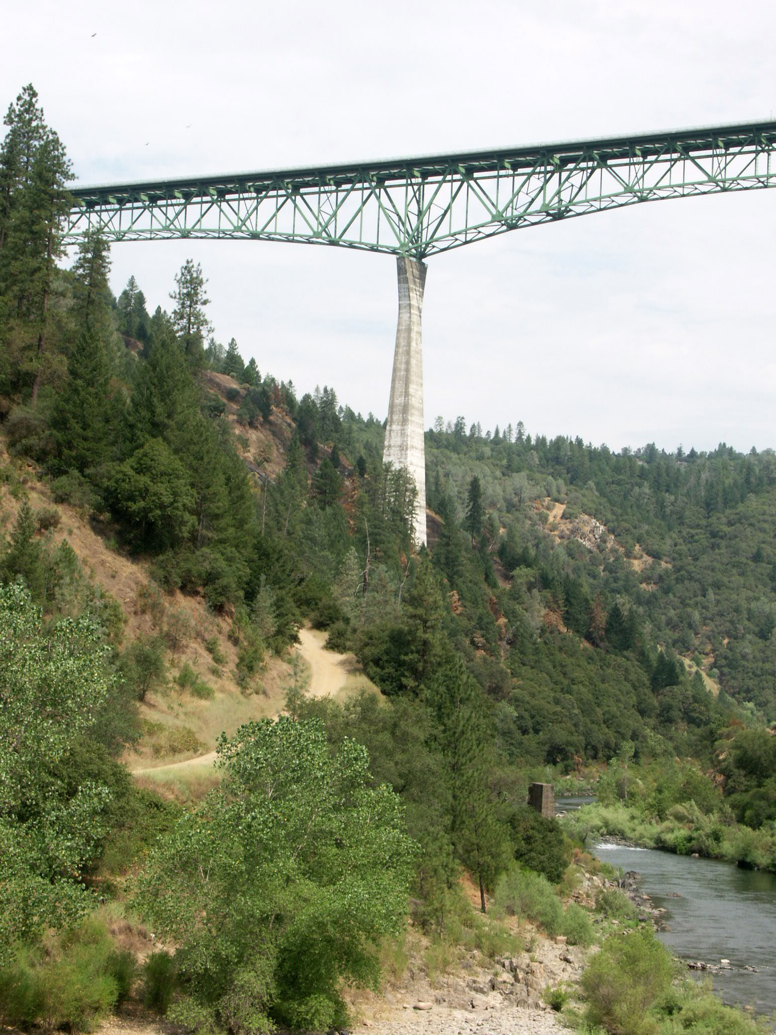
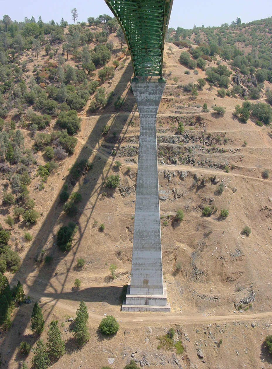
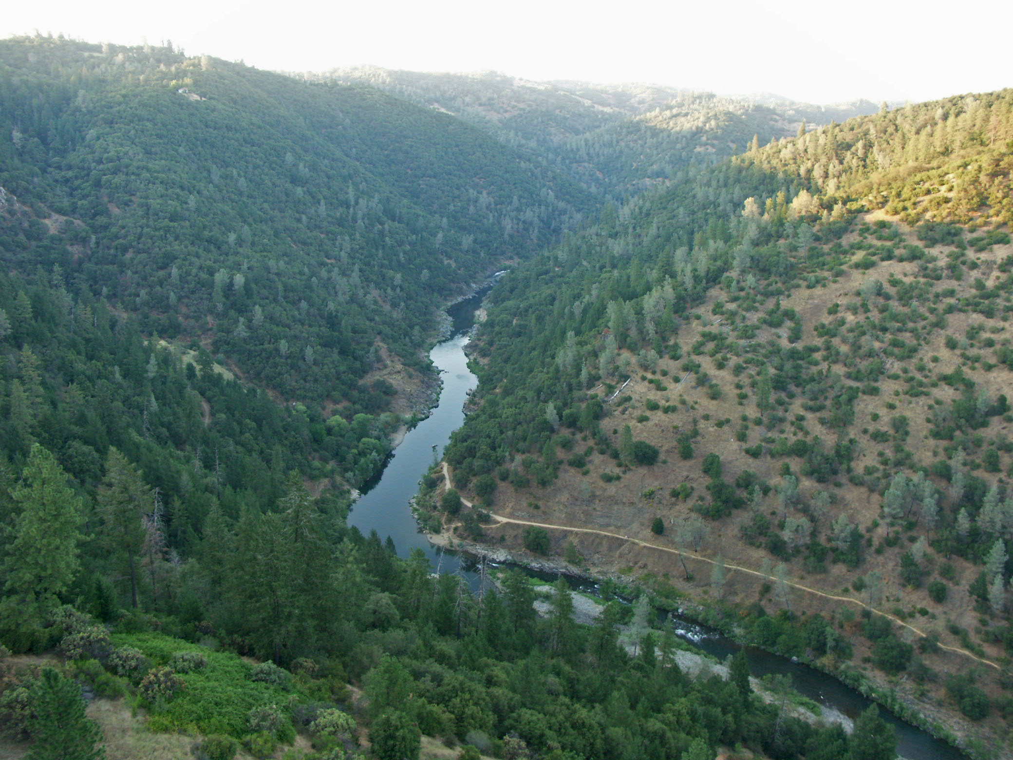
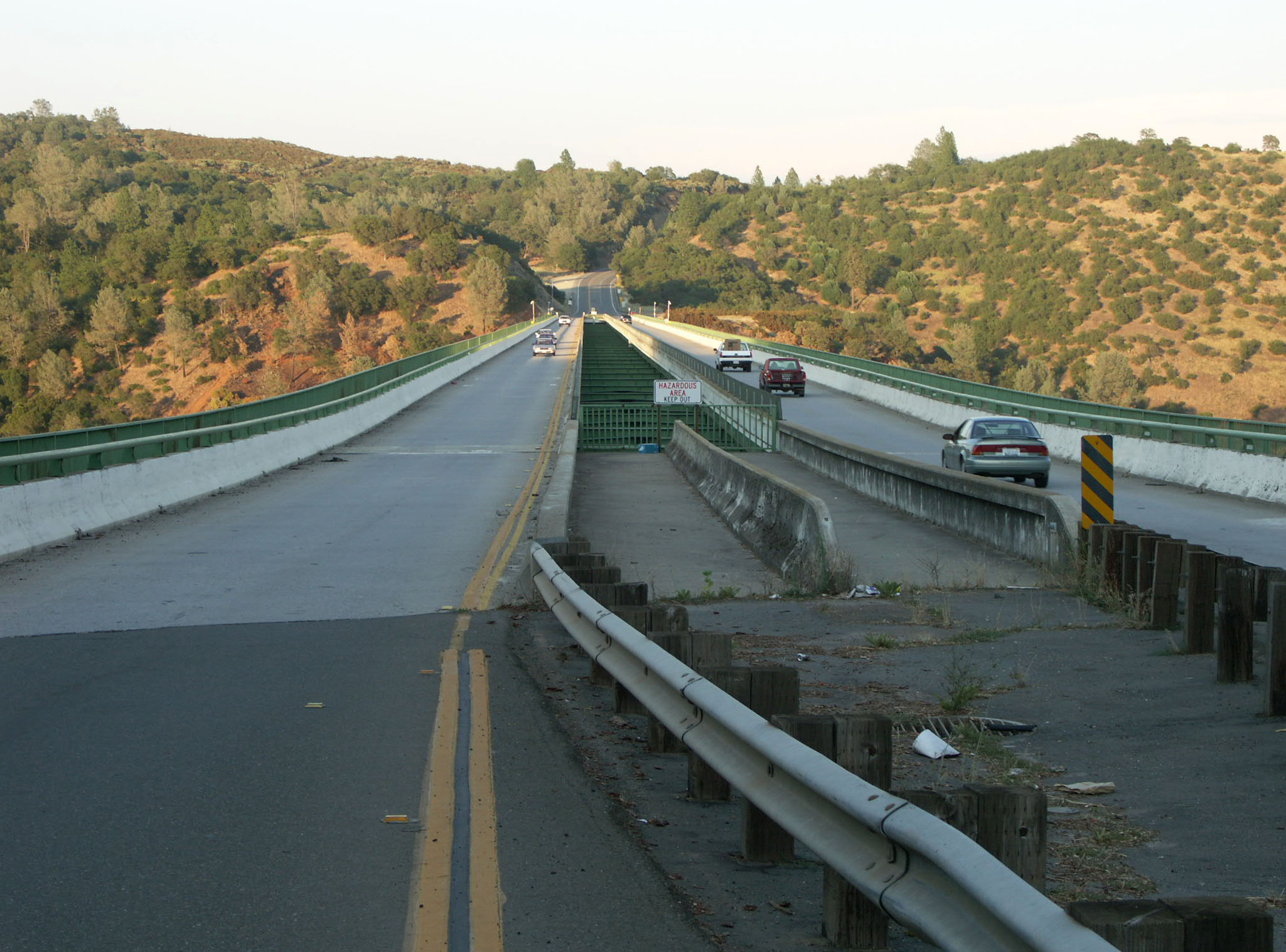
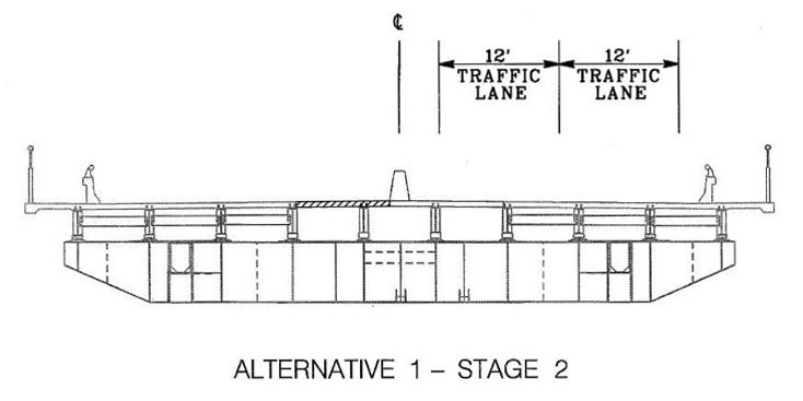
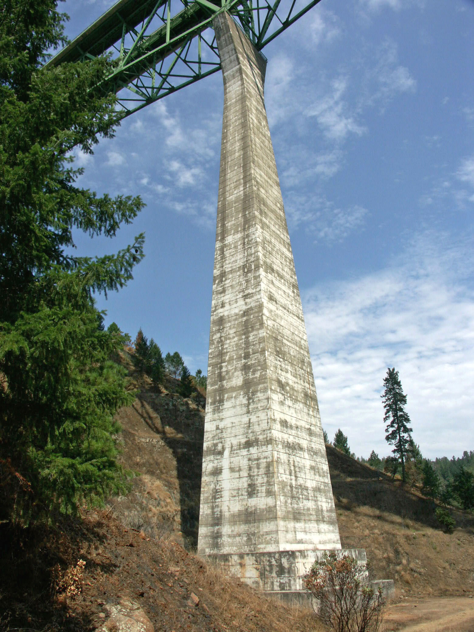
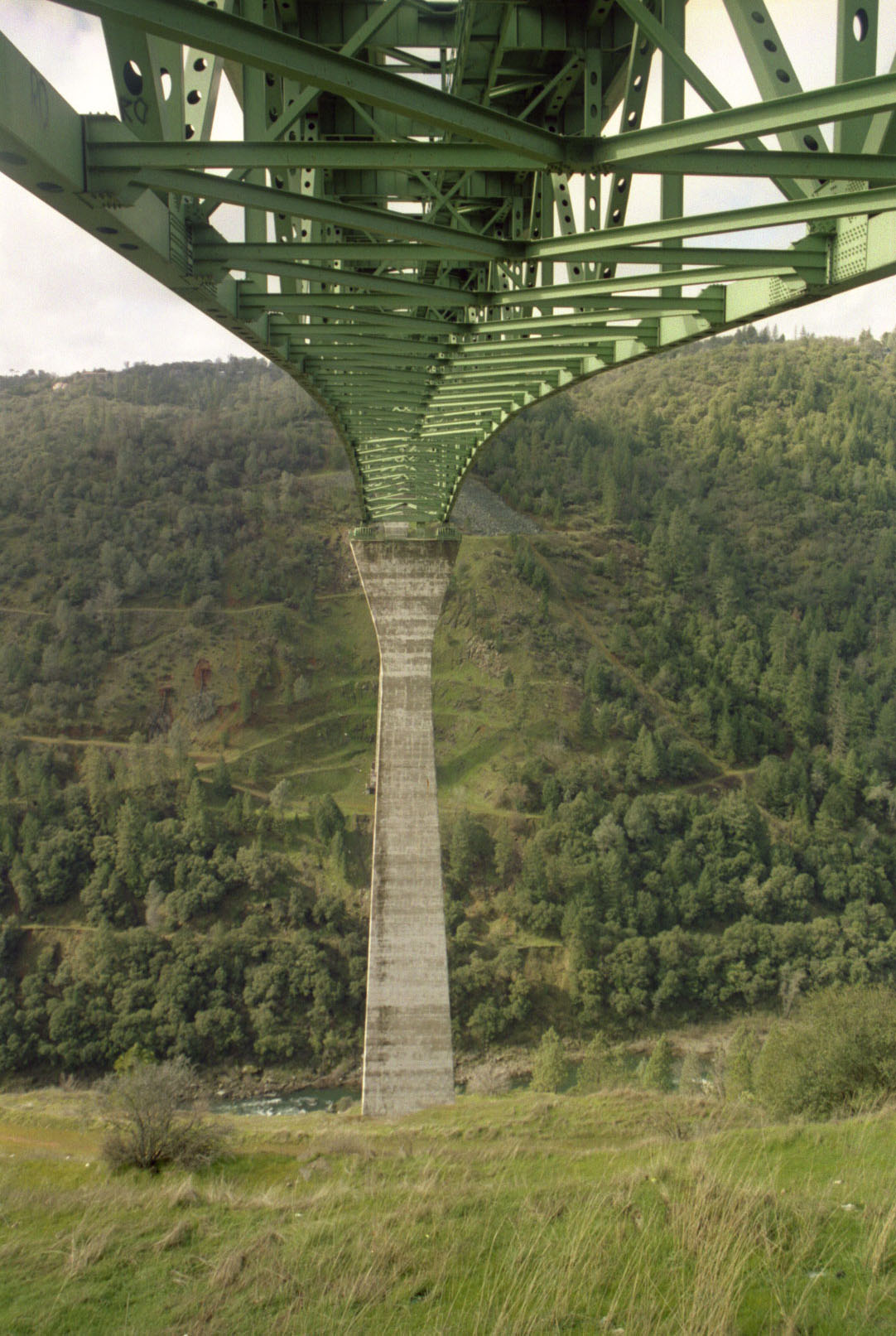
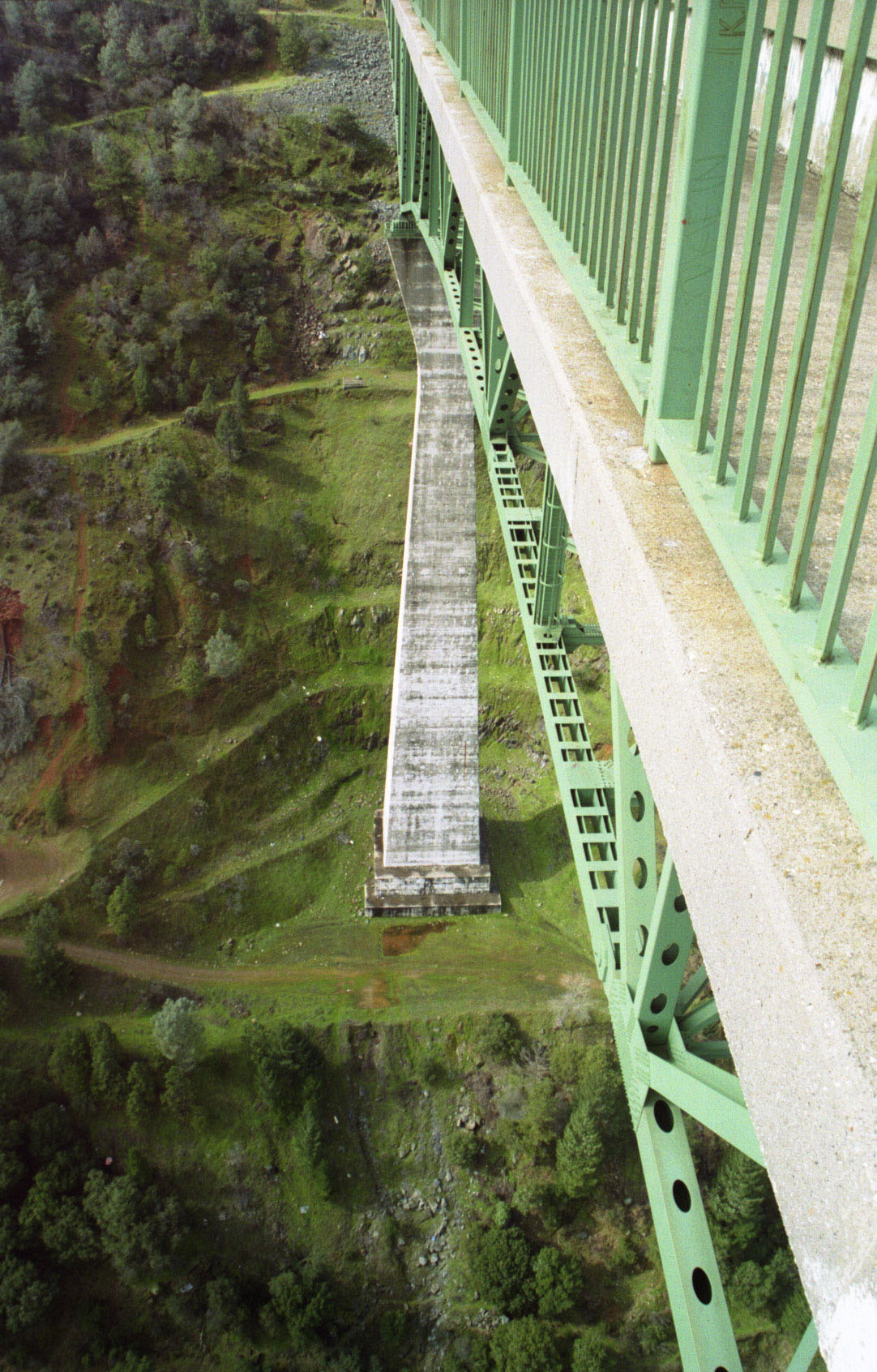
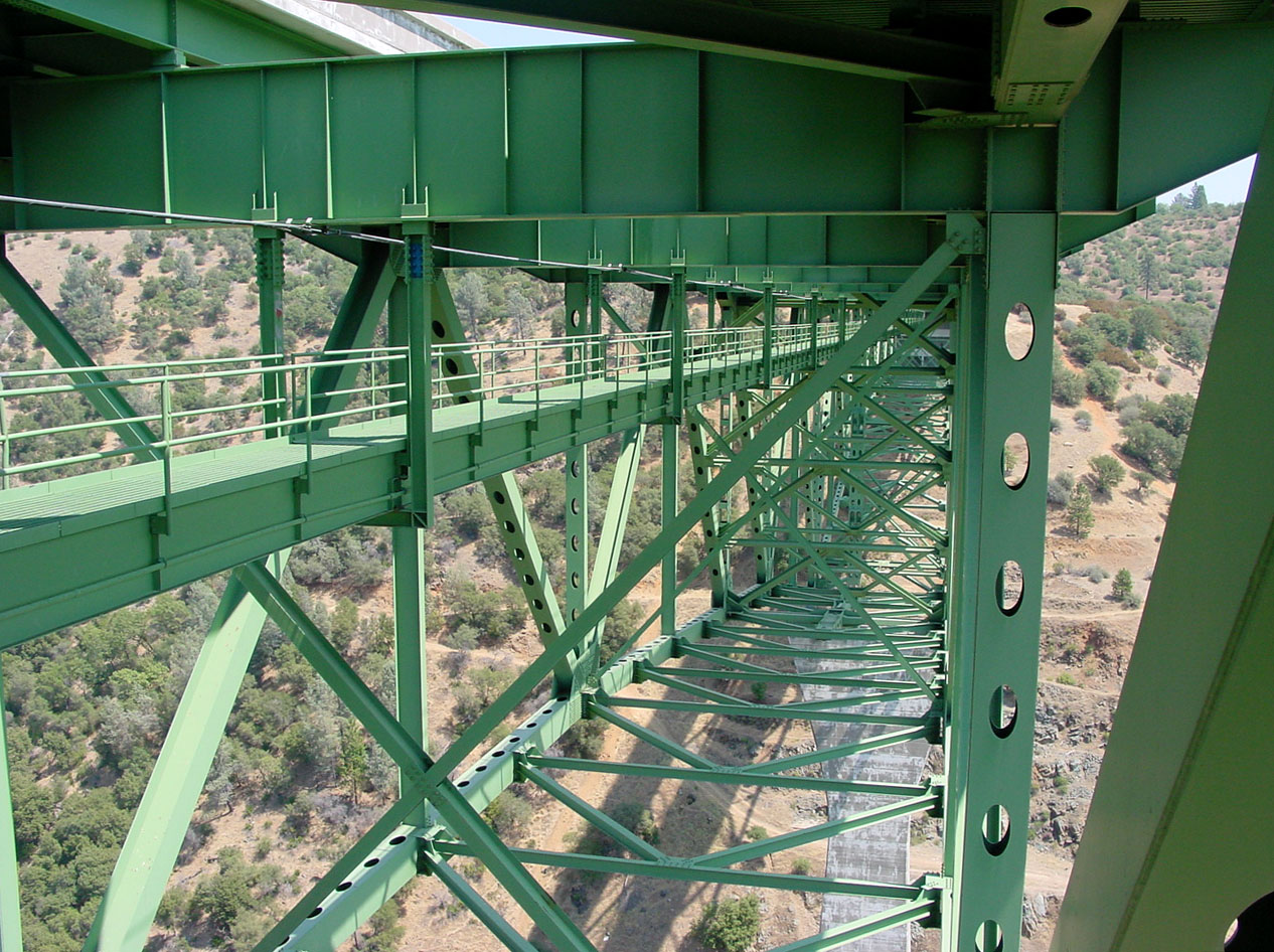
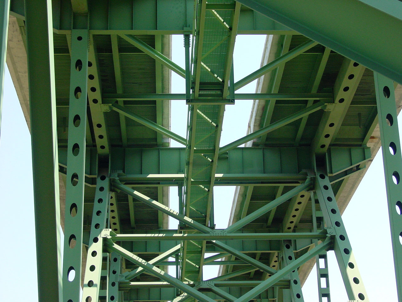
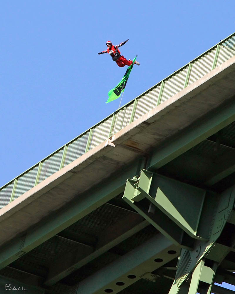
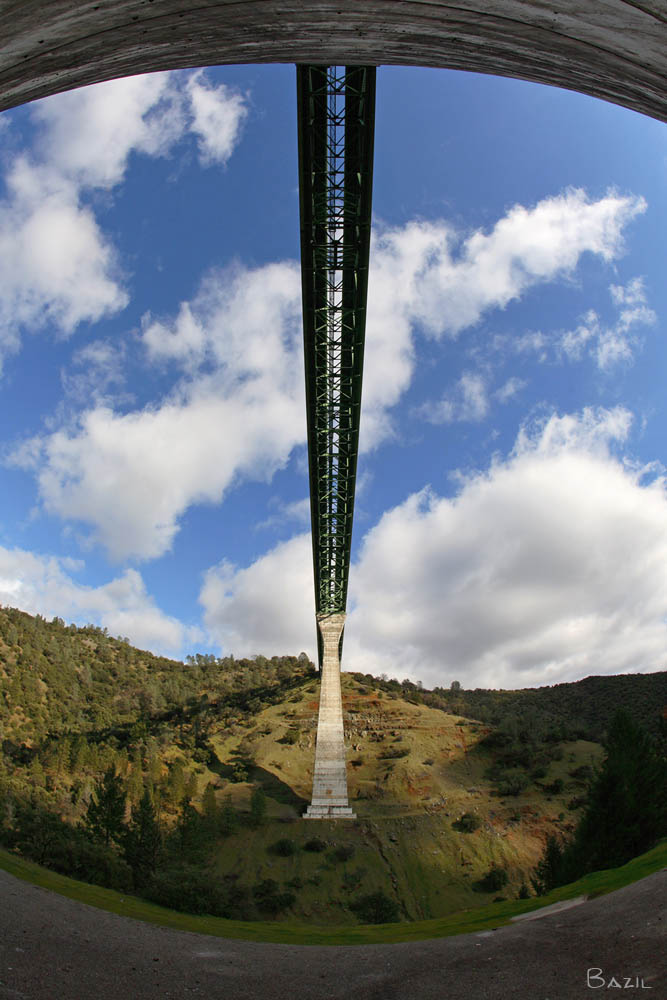
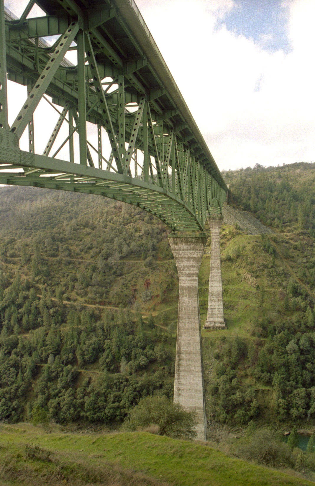
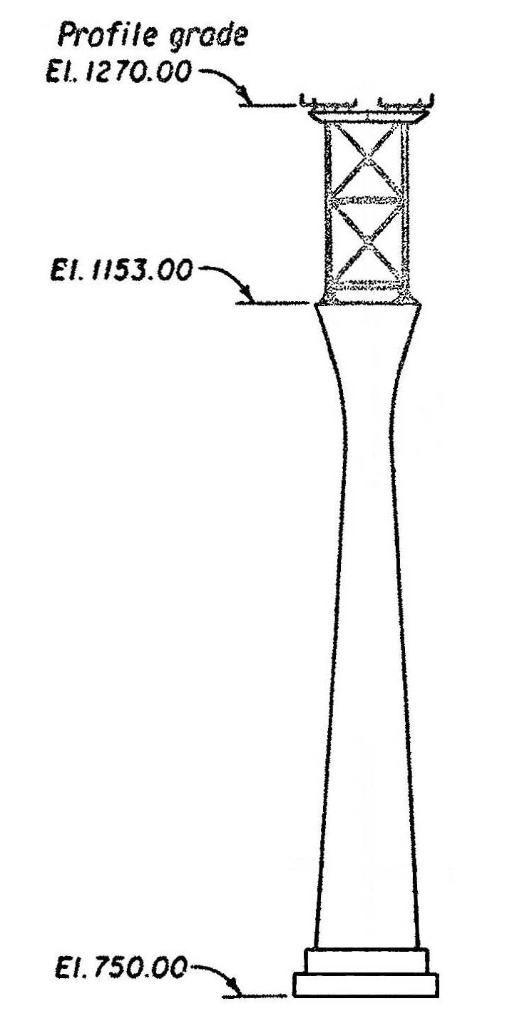
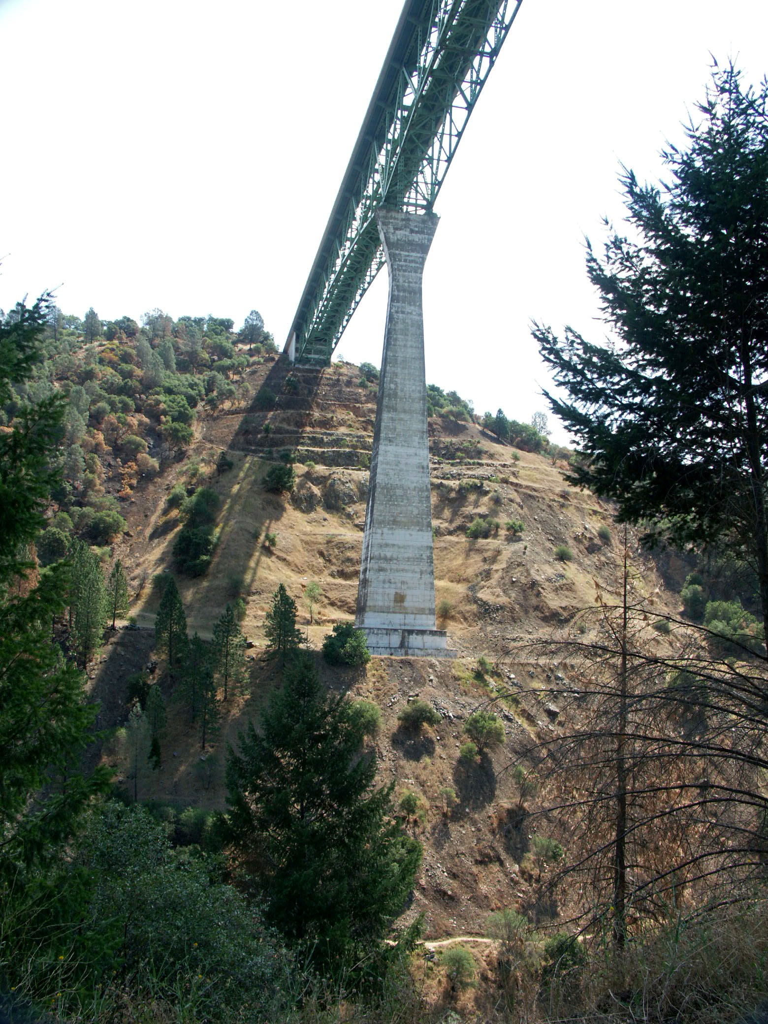
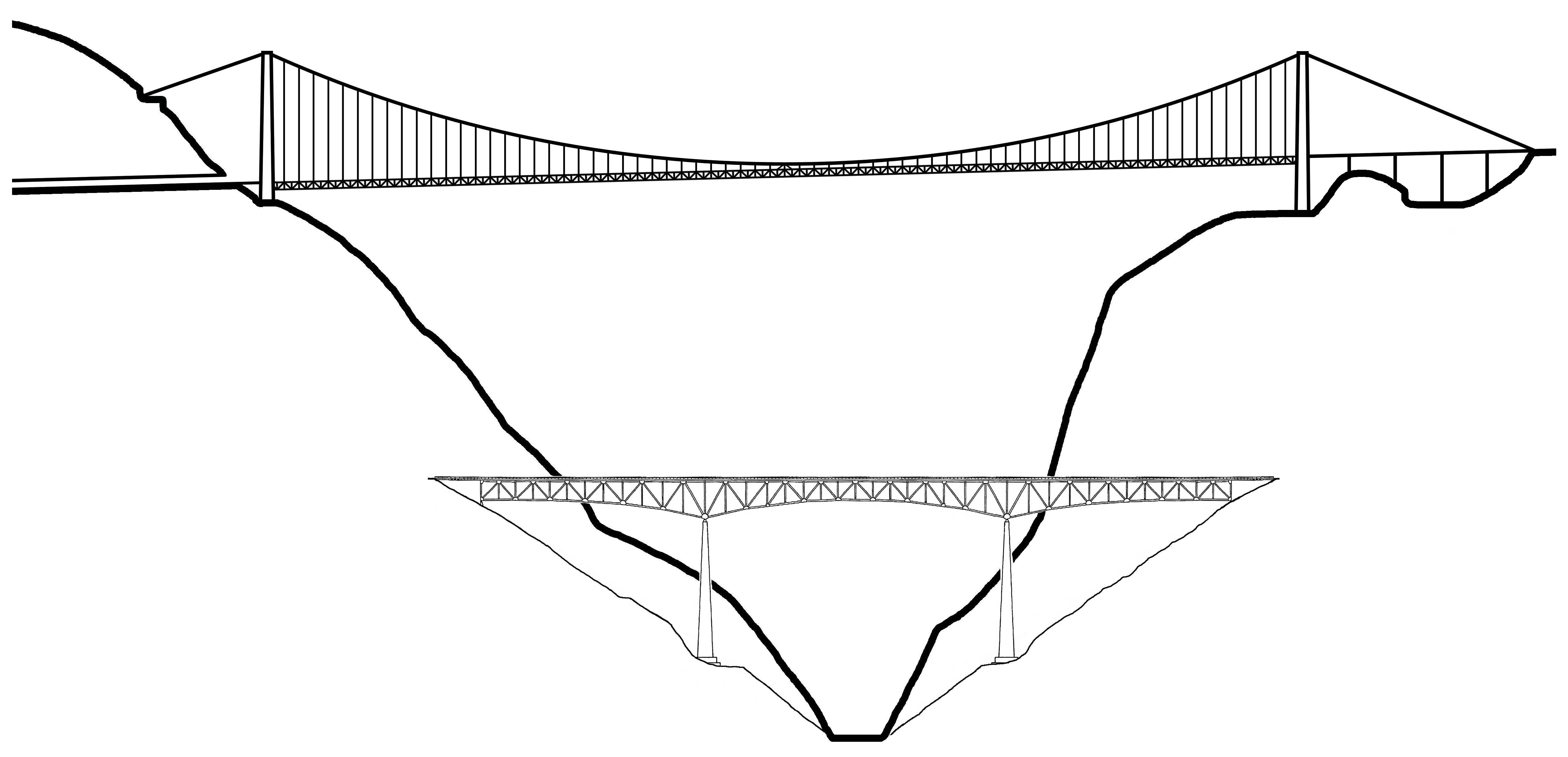
One of the most unique aspects of the Foresthill bridge was the open gap that was left between the two lanes in the center of the bridge until 2012 when the space was finally closed in. The original lanes were unusually wide at 20 feet (6 mtrs) but are now 12 feet (3 mtrs) with the extra width reserved for highway maintenance vehicles, etc. The bridge is very pedestrian friendly with walkways on both sides of the bridge offering spectacular views of the American River gorge. The great accessibility of the bridge has also made it popular among BASE and bungee jumpers. Auburn-Foresthill bridge is a near twin of the much less known Phil G McDonald or Glade Creek bridge near Beckley, West Virginia. From an engineering standpoint the only major difference between the two is the West Virginia span is a continuous truss instead of a cantilever. The California span is only about 10 percent bigger in size and height. Much of the Auburn bridge’s visual power comes from the two massive concrete piers that rise 403 feet (123 mtrs) from the ground to apex or 520 feet (159 mtrs) from ground to roadway. They were the highest bridge piers in North America for many years until Mexico’s 1993 Mezcala bridge opened with a 541 foot (165 mtr) tall pier. In 2012, Mexico will open the second highest bridge pier in the world when the San Marcos bridge is completed. Only the Millau bridge in France will have a higher pier.
A visit to the Foresthill bridge would not be complete without a visit to the other bridges you can see as you look down into the gorge. The most interesting of these being the abandoned Mountain Quarry railroad bridge, sometimes referred to as the “No Hands Bridge”. A short hike from route 49, the 80 foot (24 mtr) high, triple concrete arch was originally built in 1912 by the Pacific Portland Cement Company to provide access to a limestone quarry. The rail line was a 10 mile (16 km) spur from the Southern Pacific mainline in Auburn. Around 1939 the line and bridge were abandoned. The integrity of the structure was tested in December of 1964 when the Hell Hole Dam broke upstream of the bridge. The ensuing flood took out the road bridge just upstream of the railroad bridge. The remains of this bridge can still be seen in the river. Auto traffic was then rerouted across the railroad bridge until a replacement span could be built for the road. Today the former railroad bridge is part of the Western States Pioneer Express Recreation Trail. The “no hands” name refers to a time when there were no handrails on the bridge, prompting a horse rider to cross the bridge without holding her reins.
Image by Eric Sakowski / HighestBridges.com
Image by Eric Sakowski / HighestBridges.com
Image by Eric Sakowski / HighestBridges.com
Image by Eric Sakowski / HighestBridges.com
Image by Eric Sakowski / HighestBridges.com
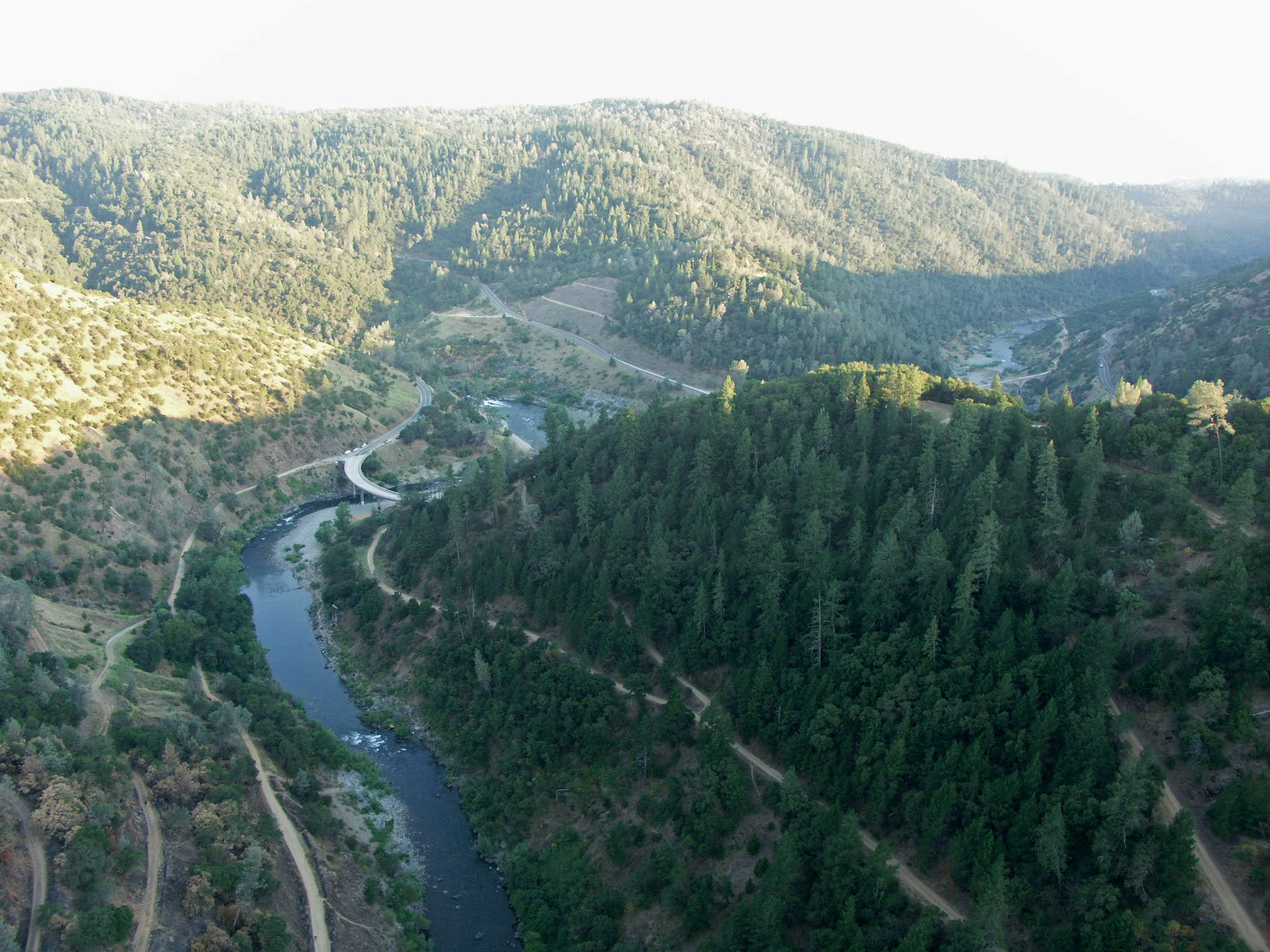
Aerial image by Eut Tileston.
Auburn-Foresthill Bridge as it might have looked under 600 feet (183 meters) of water. Aerial image by Eut Tileston.
Image by Mark Ketchum.
Image by Mark Ketchum.
Image by Eric Sakowski / HighestBridges.com
Image by Eric Sakowski / HighestBridges.com
Image by Eric Sakowski / HighestBridges.com
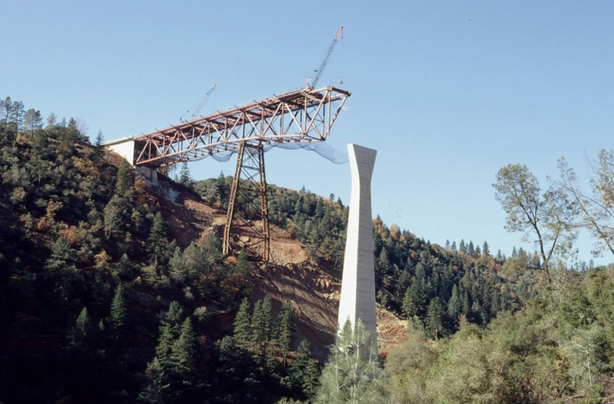
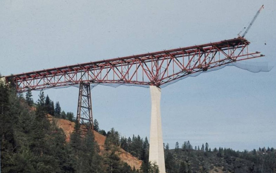
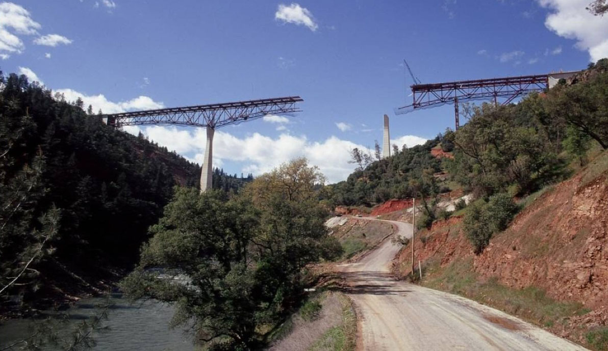
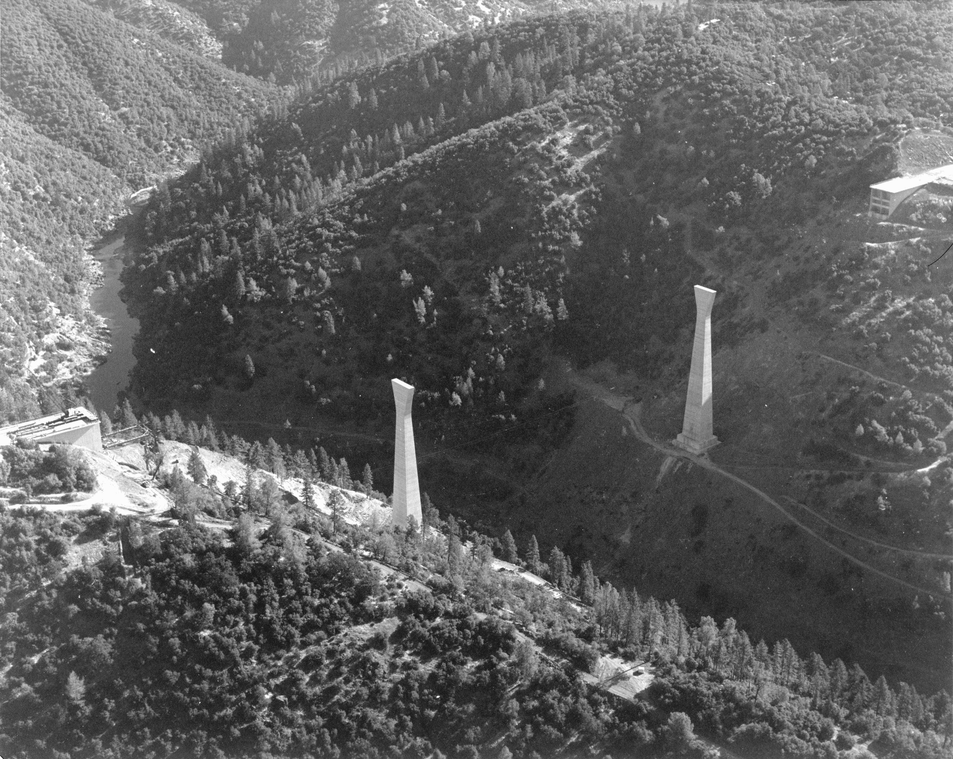
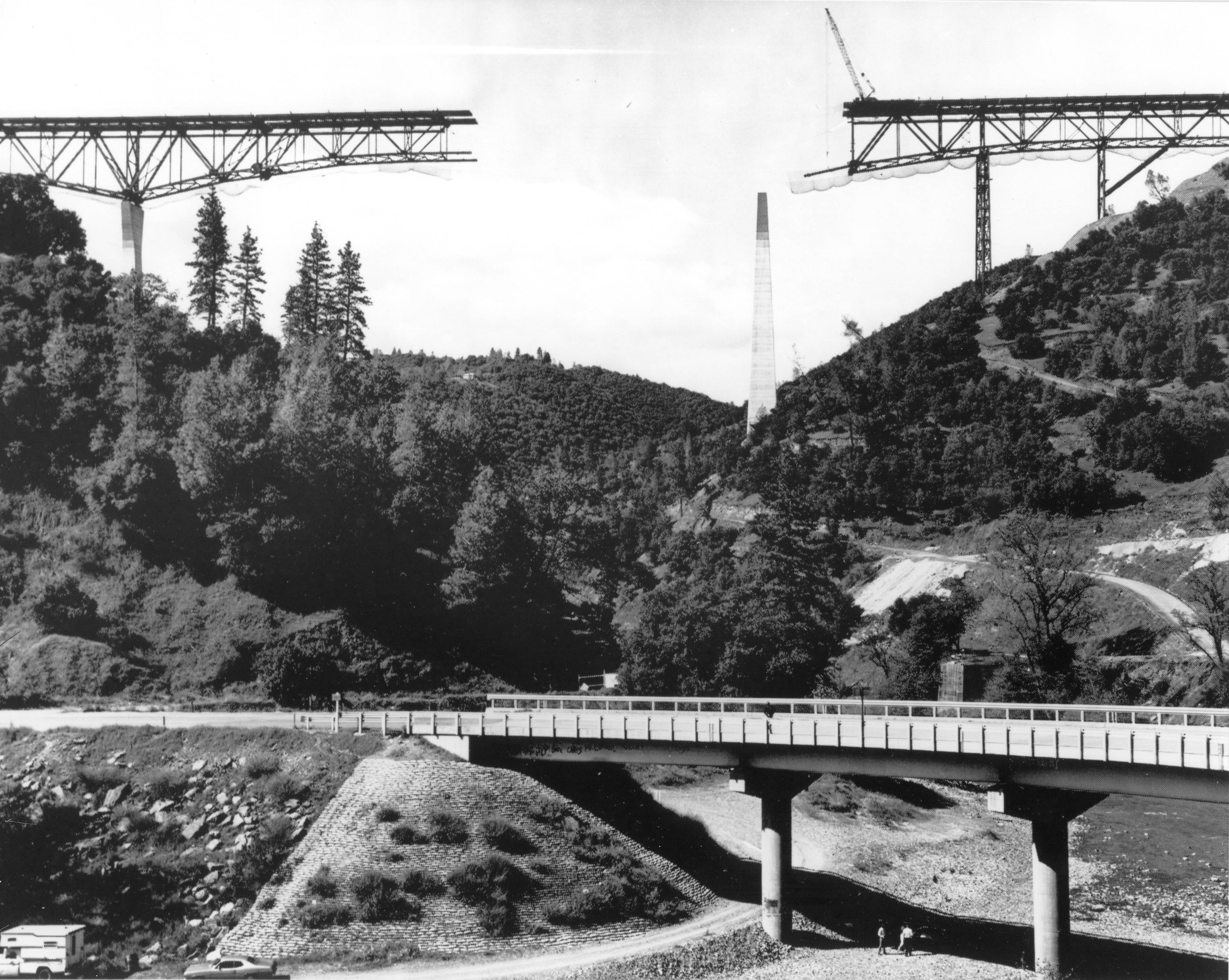
Construction view circa 1972 showing the temporary steel tower to support the side span truss as it continues to cantilever out to the pier.
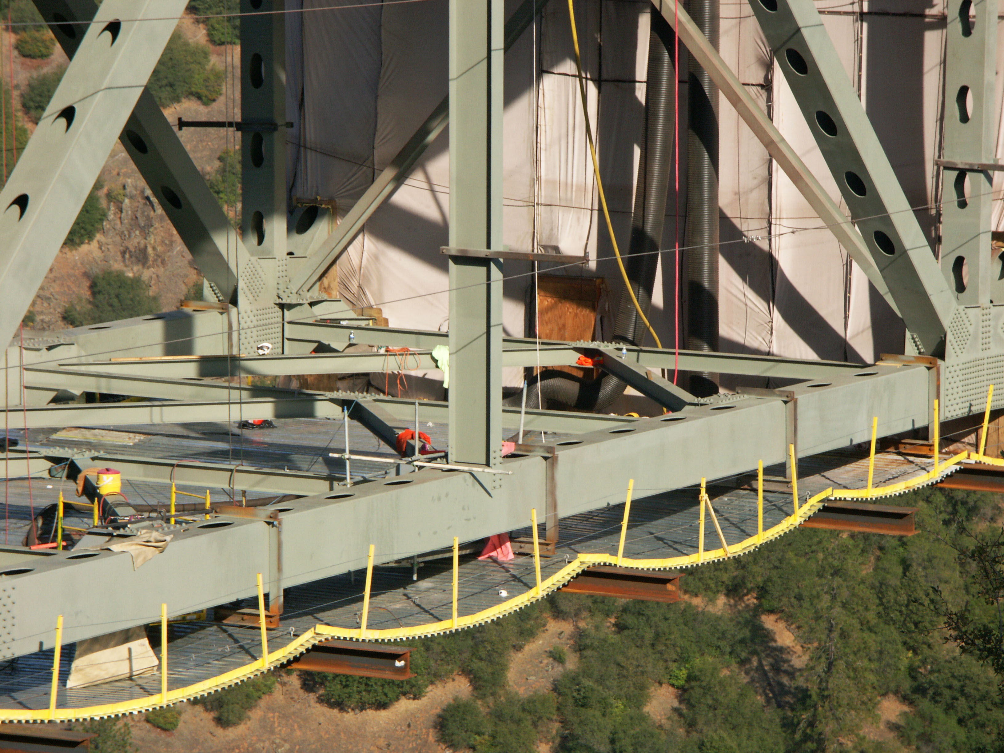
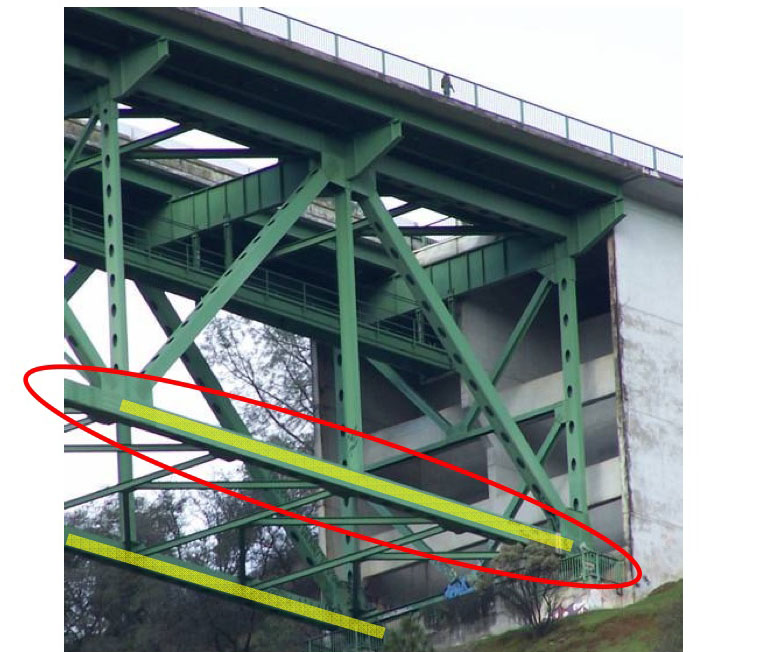
Safety nets hang along the entire length of the completed truss.
A view from 1972 shows the completed north end of the cantilever.
Designed to handle 4 lanes of traffic, the center two were left open until a 2010-2013 rehab extended the deck continuously from edge to edge. Since the approach road is only 2 lanes, the extra width will only be used for highway maintenance vehicles as well as a temporary breakdown lane. Image by Eric Sakowski / HighestBridges.com
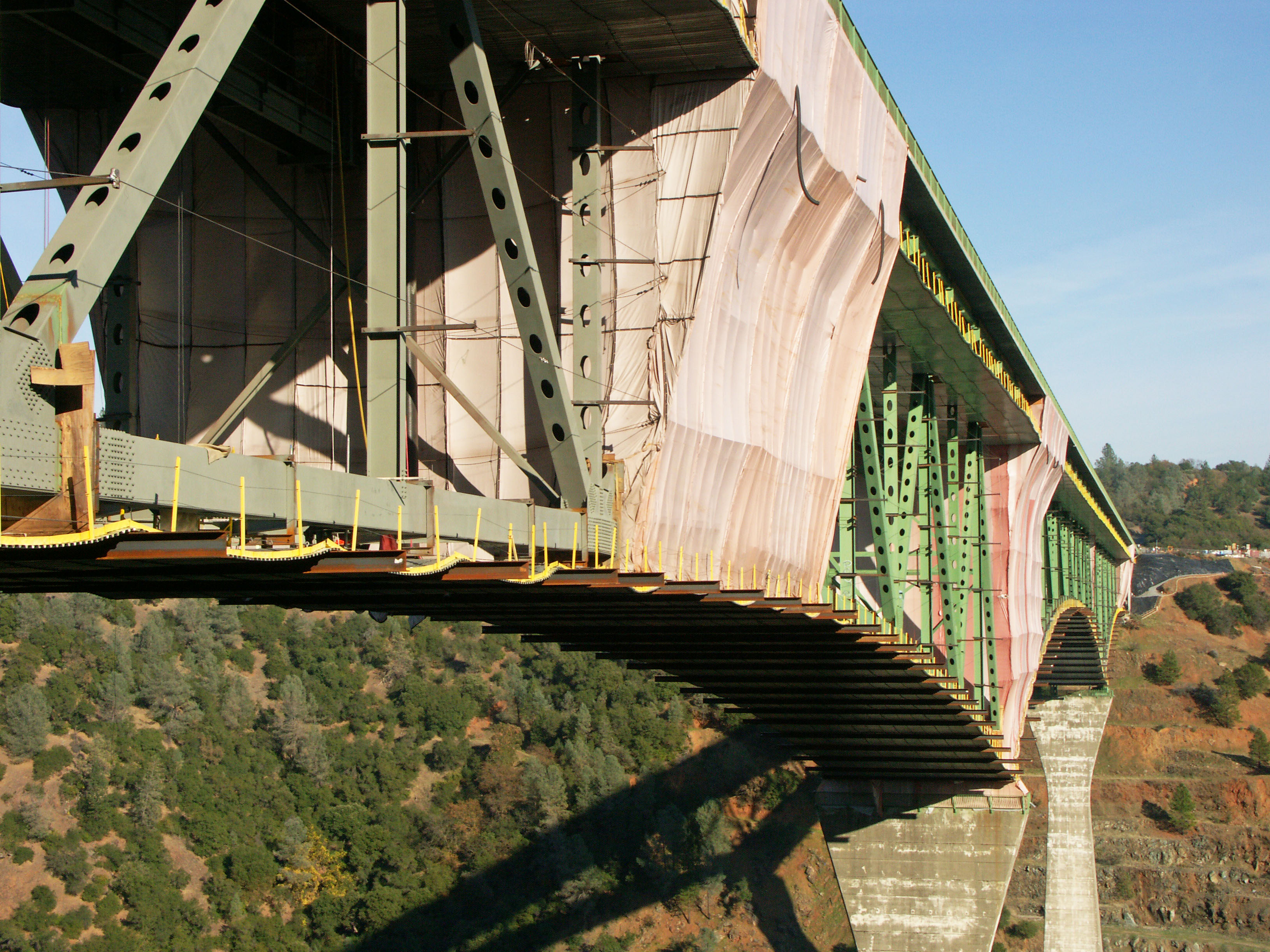
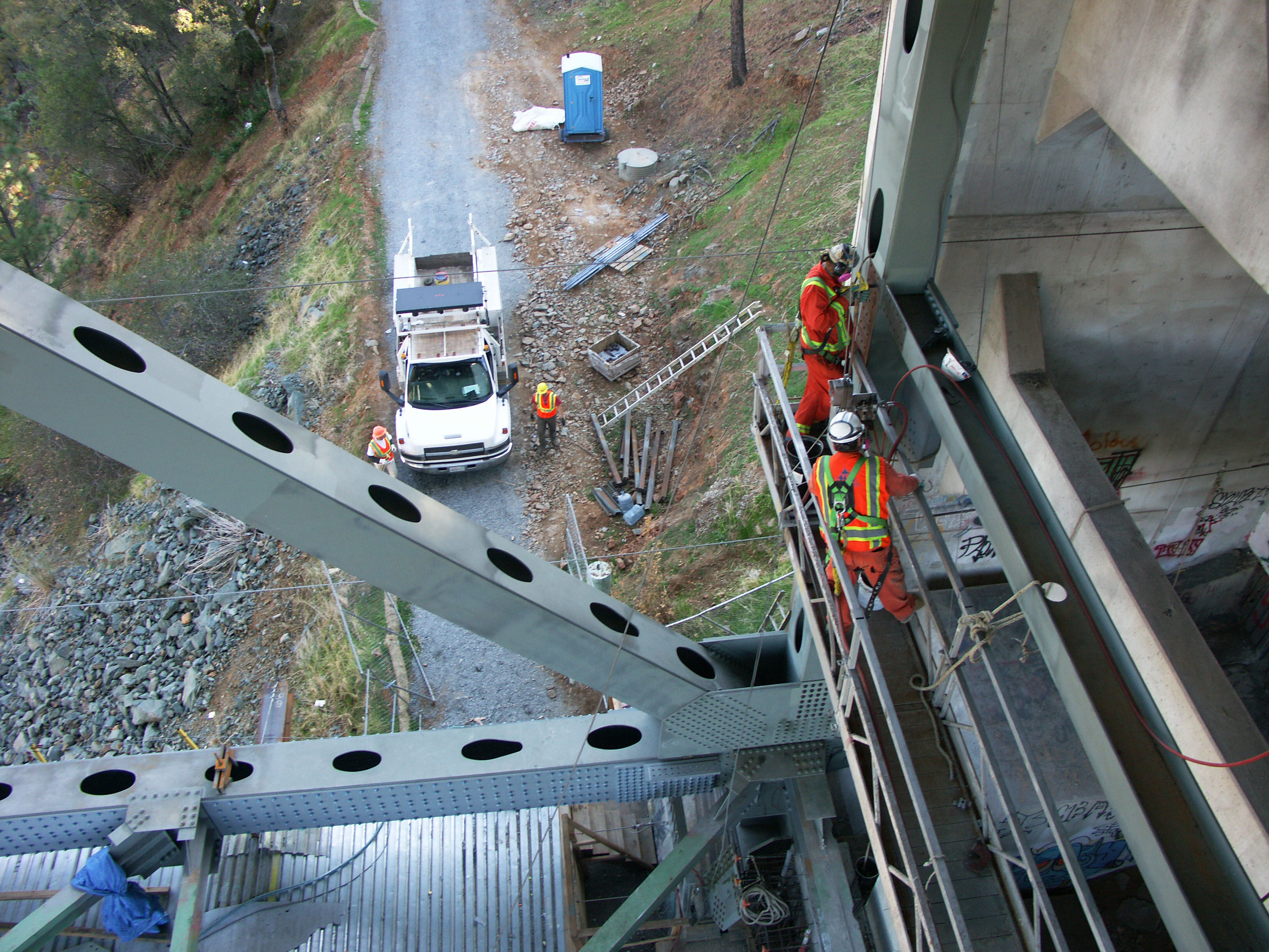
The 2010-2013 retrofit also includes the blasting of all lead paint that had to be contained in giant tent enclosures. Image by Eric Sakowski / HighestBridges.com
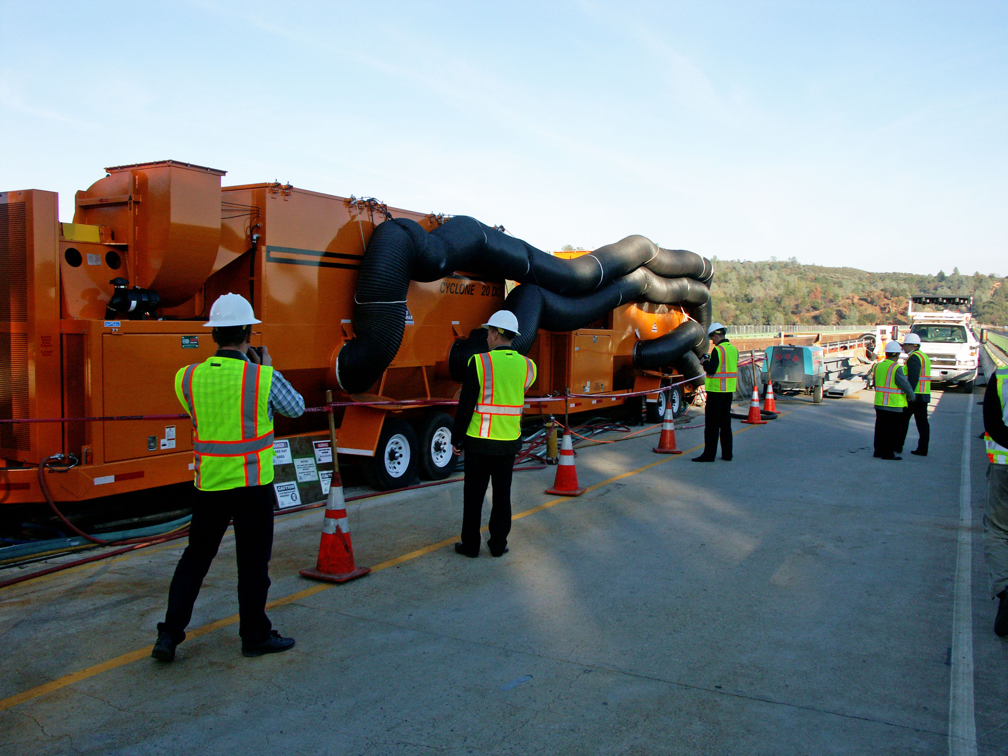
Huge air pumping units circulate the dirty air out and pump in clean air for the workers below deck. Image by Eric Sakowski / HighestBridges.com
Image by Eric Sakowski / HighestBridges.com
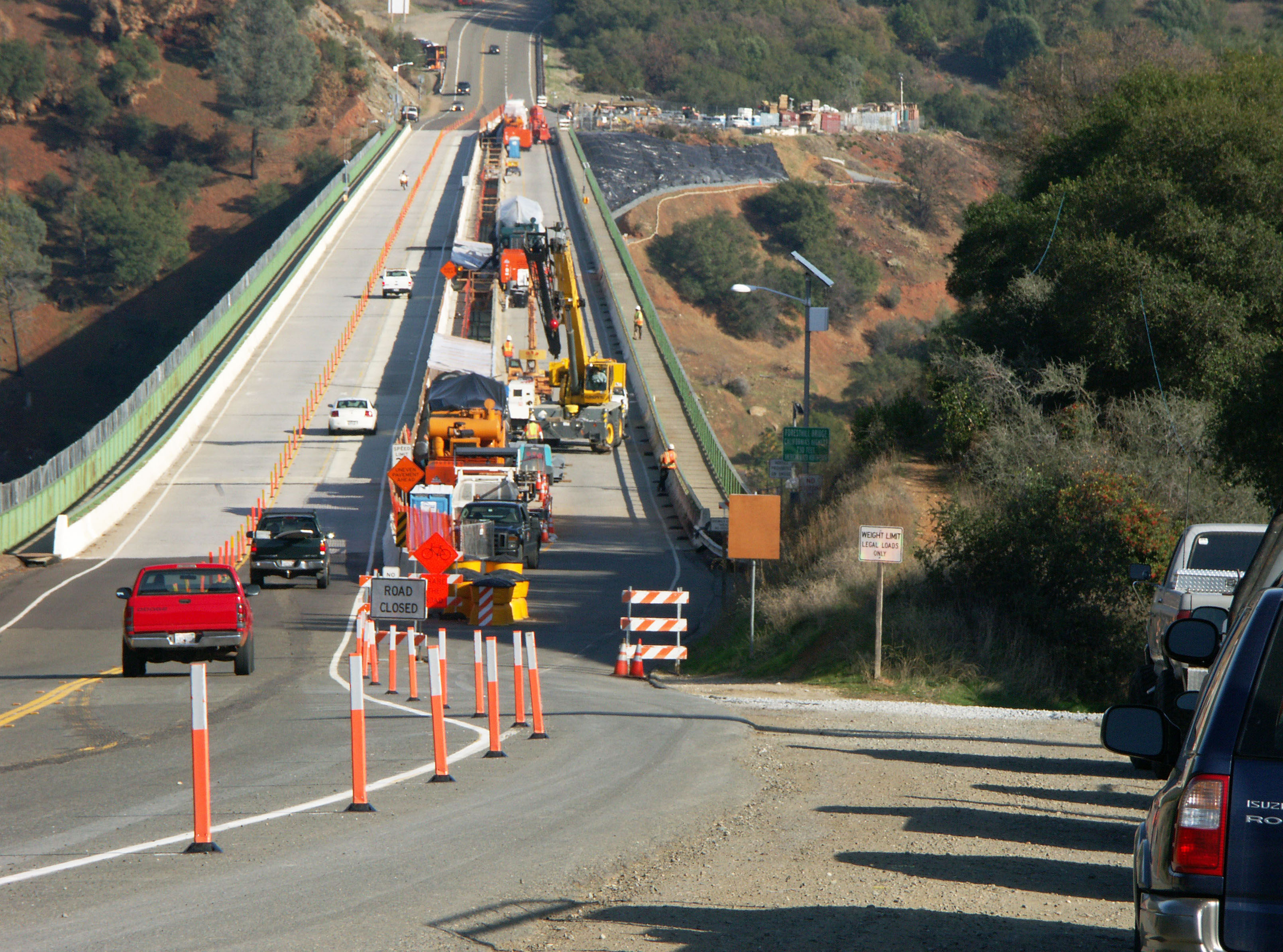
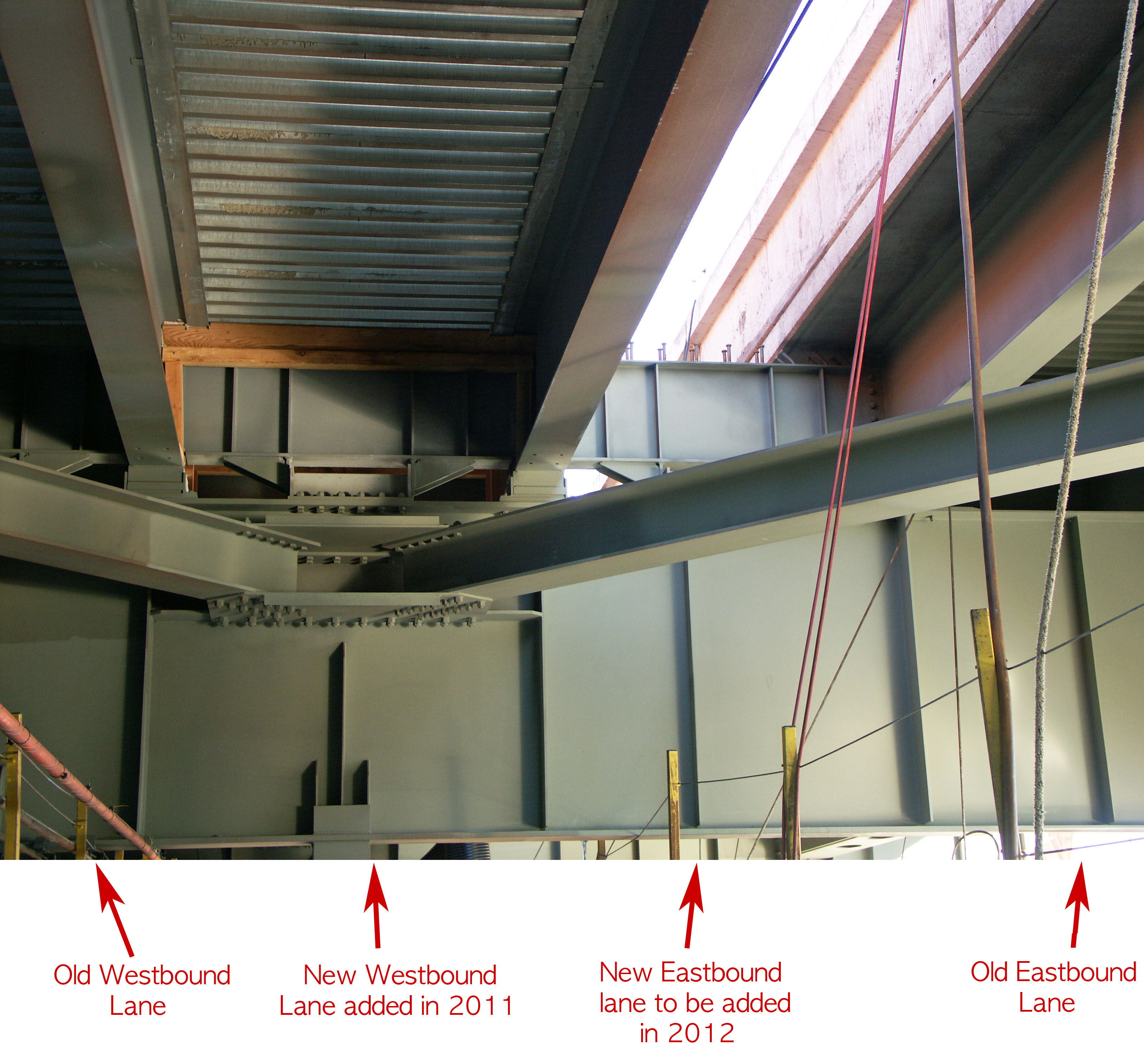
The missing northbound lane was built first so the entire southbound lane could be closed for traffic for temporary use by the crew. Image by Eric Sakowski / HighestBridges.com
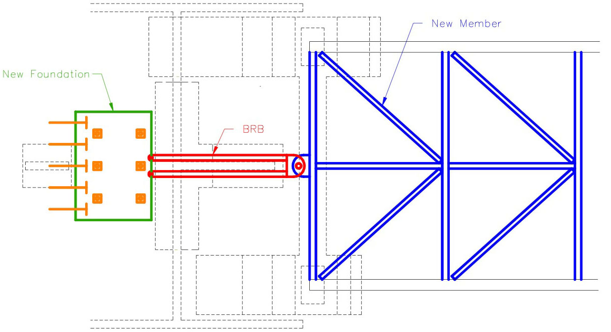
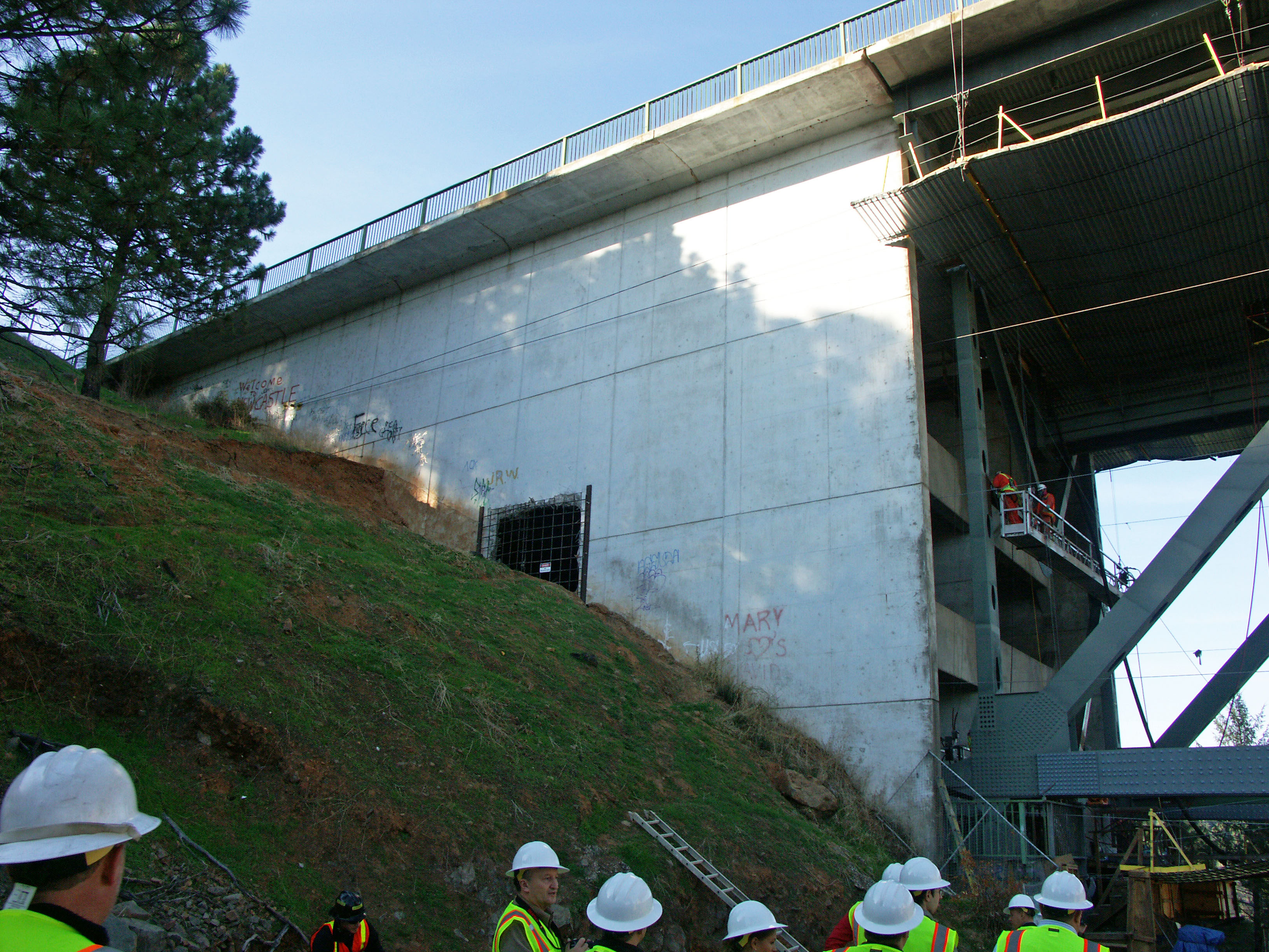
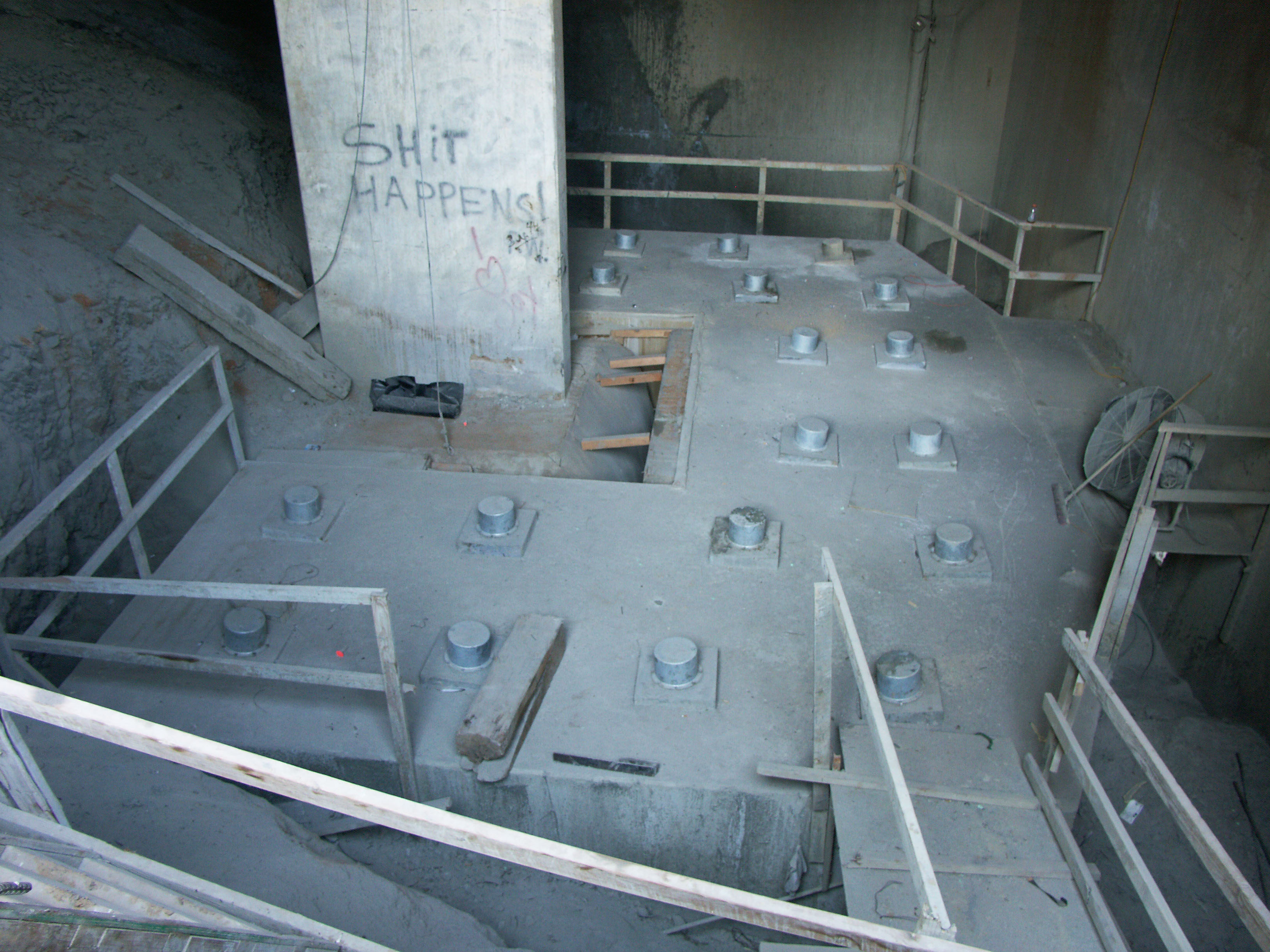
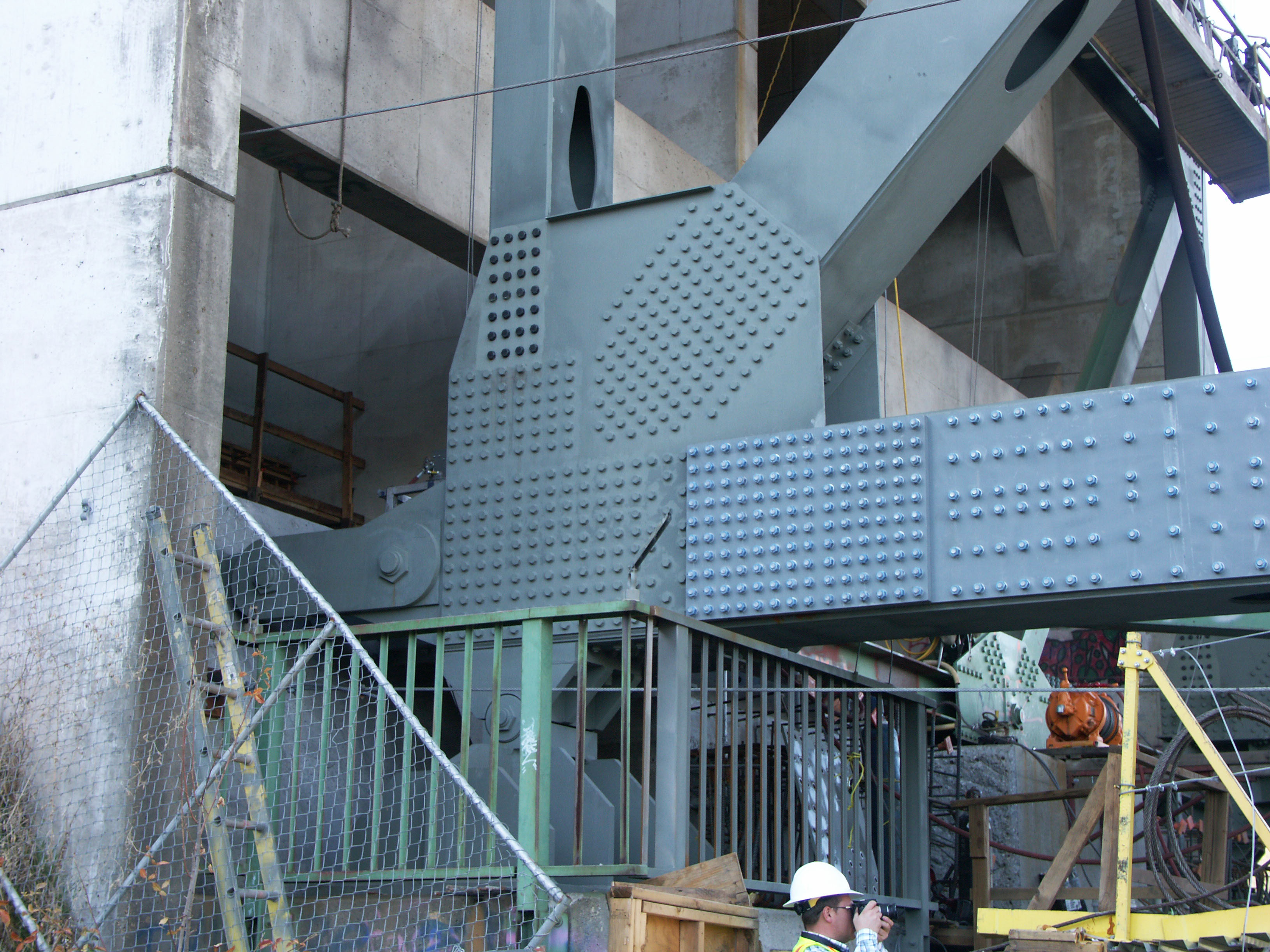
The main component of the earthquake strengthening will be achieved at the ends of the huge trusses where new steel members as well as the thickening of older ones will allow earthquake forces to be distributed to a new foundation anchorage hidden within the old concrete approach span building. Concrete and steel BRBs transfer seismic force from the truss to the anchorage block constructed within the cellular abutments and are sacrificial members that can easily be replaced after being damaged from an earthquake. Image by Quincy Engineering and Placer County, California
Image by Eric Sakowski / HighestBridges.com
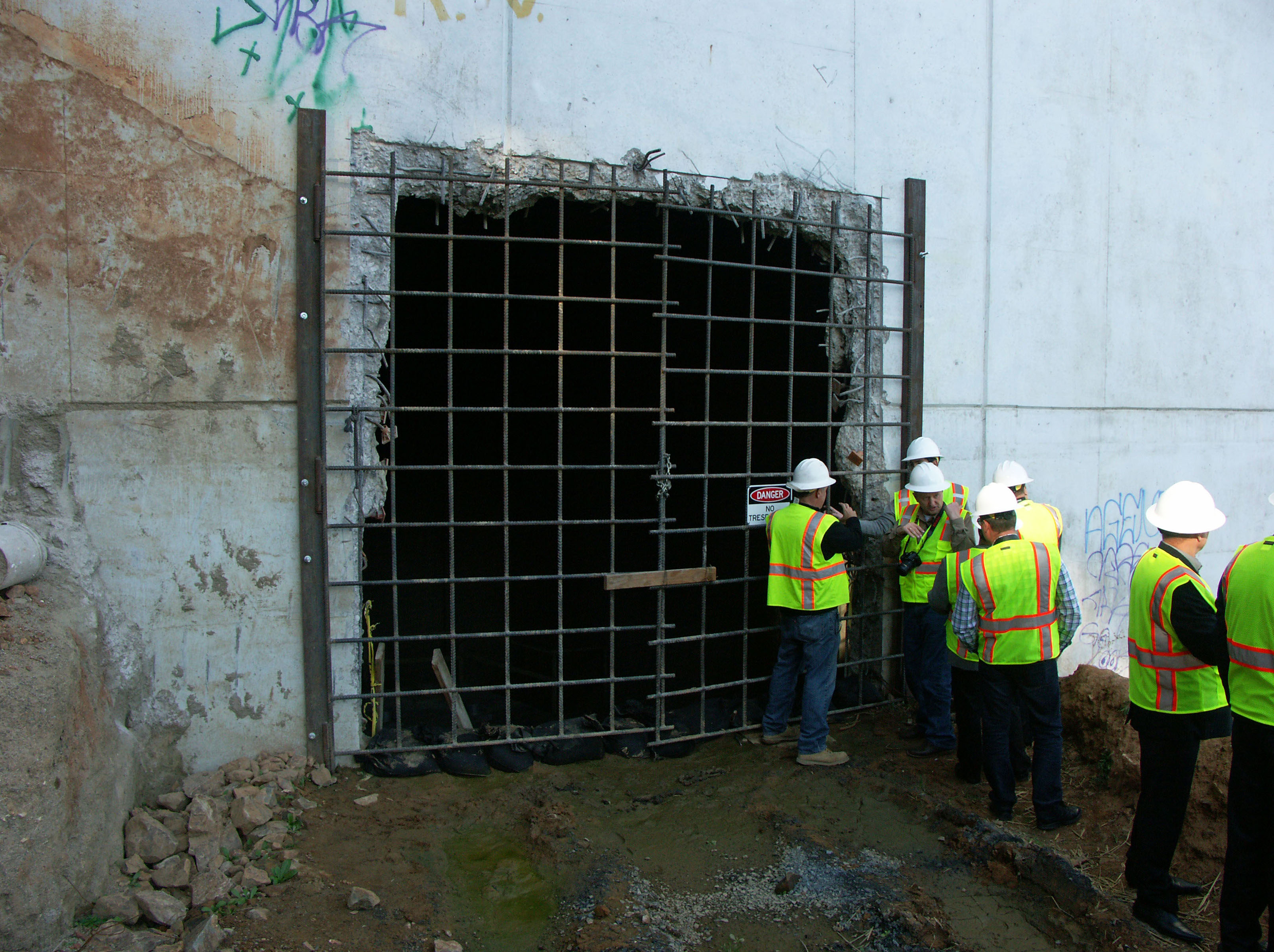
To gain access to build this new earthquake foundation, the construction crews knocked a hole into the approach span wall. Note the level of the original ground line. Image by Eric Sakowski / HighestBridges.com
Image by Eric Sakowski / HighestBridges.com
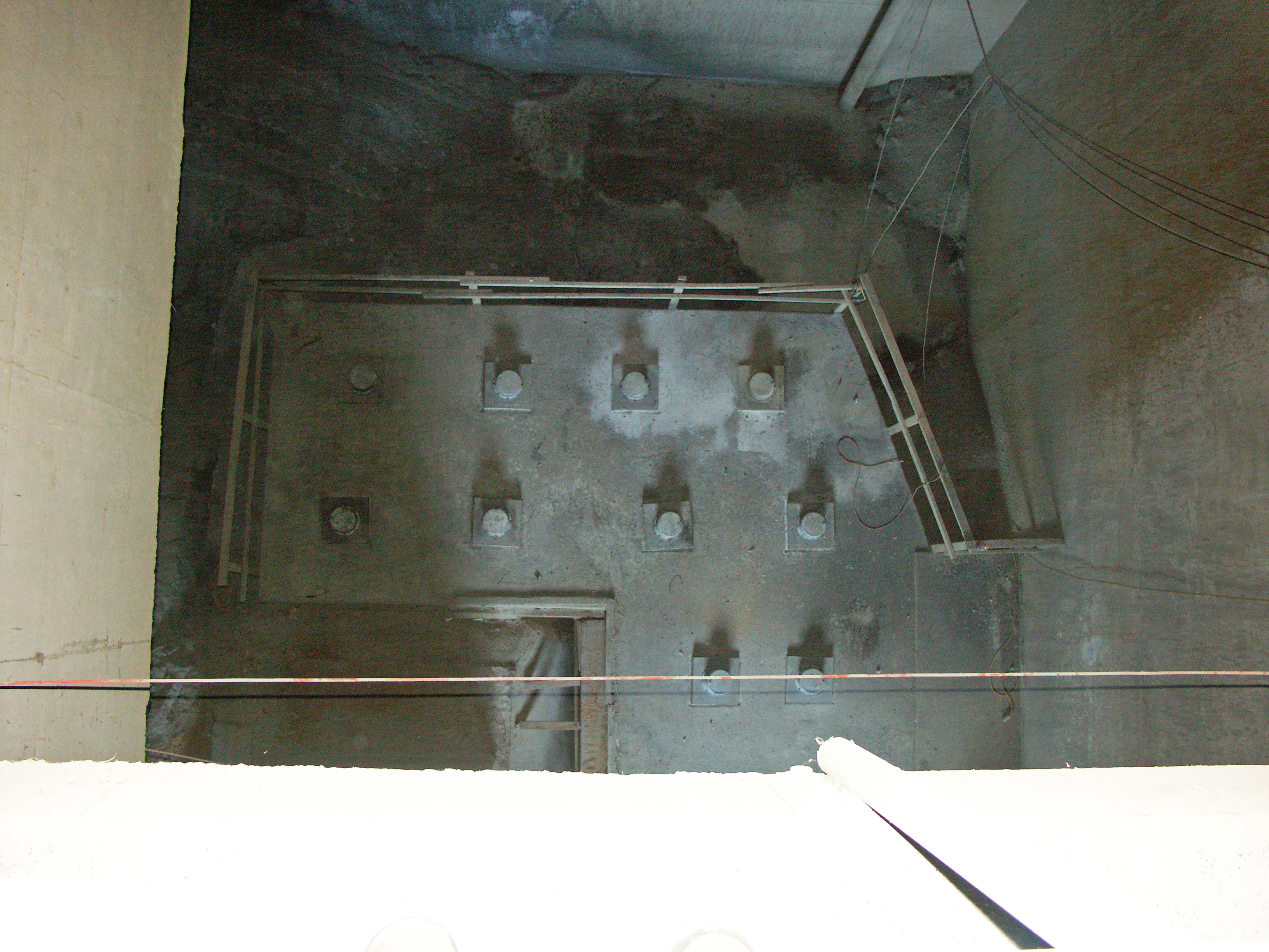
A view looking straight down at the new "deadman" earthquake anchorage. Image by Eric Sakowski / HighestBridges.com
A BRB or buckling restrained brace will connect the new anchorage to the end of the truss. The BRB consists of a rectangular steel core surrounded by a debonding material and encased in a steel hollow tube filled with grout. The steel core carries the axial load while the outer tube, via the concrete, provides lateral support to the core which is free to yield in tension and compression. Image by Quincy Engineering and Placer County, California
Image by Mark Ketchum.
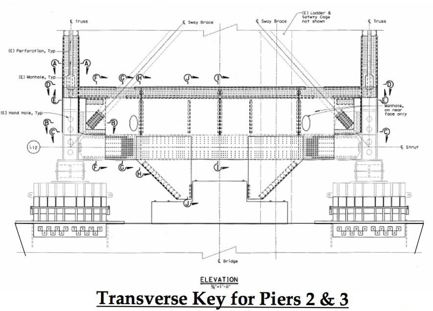
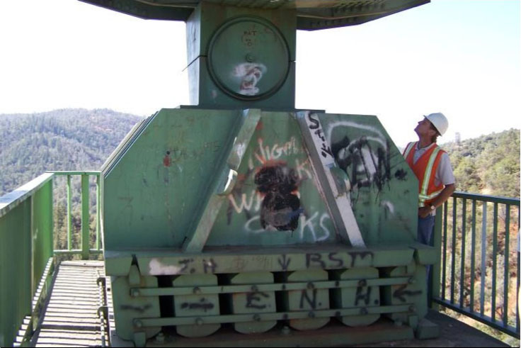
The connections at the top of the two piers is also being strengthened with transverse keys to resist damage from side to side earthquake movements. Image by Quincy Engineering and Placer County, California
Image by Quincy Engineering and Placer County, California
Image by Quincy Engineering and Placer County, California
Image by Eric Sakowski / HighestBridges.com
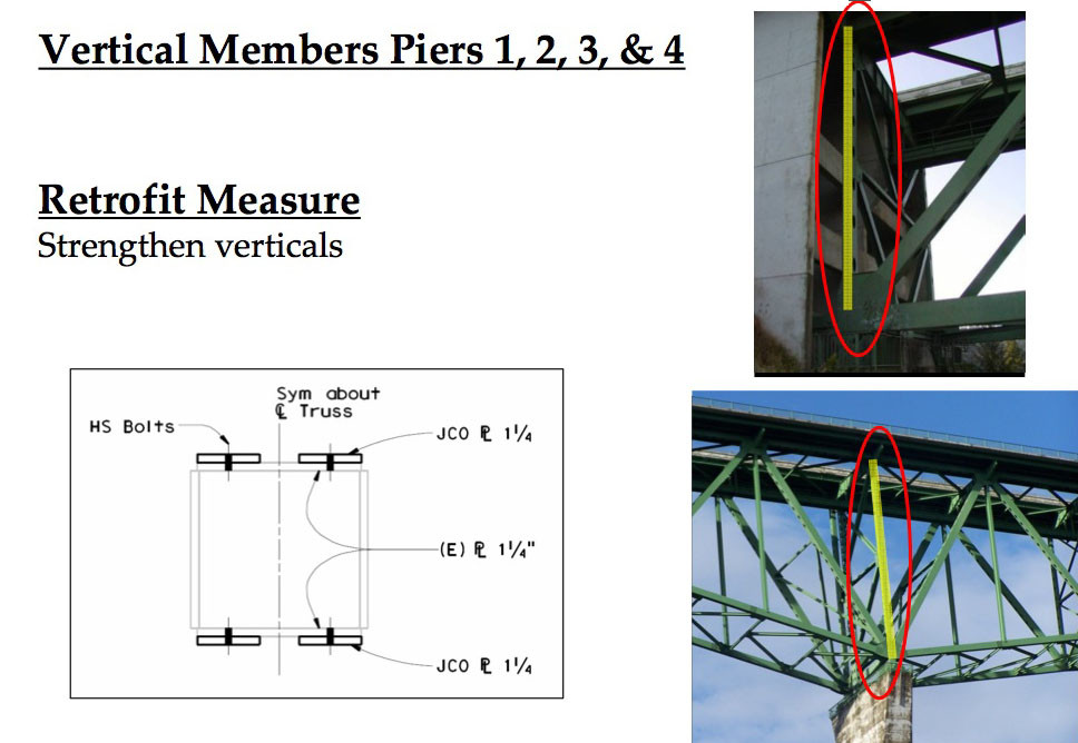
The vertical beams at the piers as well as the end of the truss are being strengthened with extra plates. Image by Quincy Engineering and Placer County, California
New plates can be seen along the side of the original truss beam. Plates will be added to the vertical member as well. Image by Eric Sakowski / HighestBridges.com
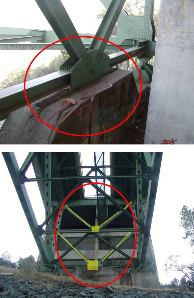
The top "V" shaped chevron cord remains while the bottom "V" chevron is replaced with a "W" configuration. The connection plates are also being replaced. Image by Quincy Engineering and Placer County, California
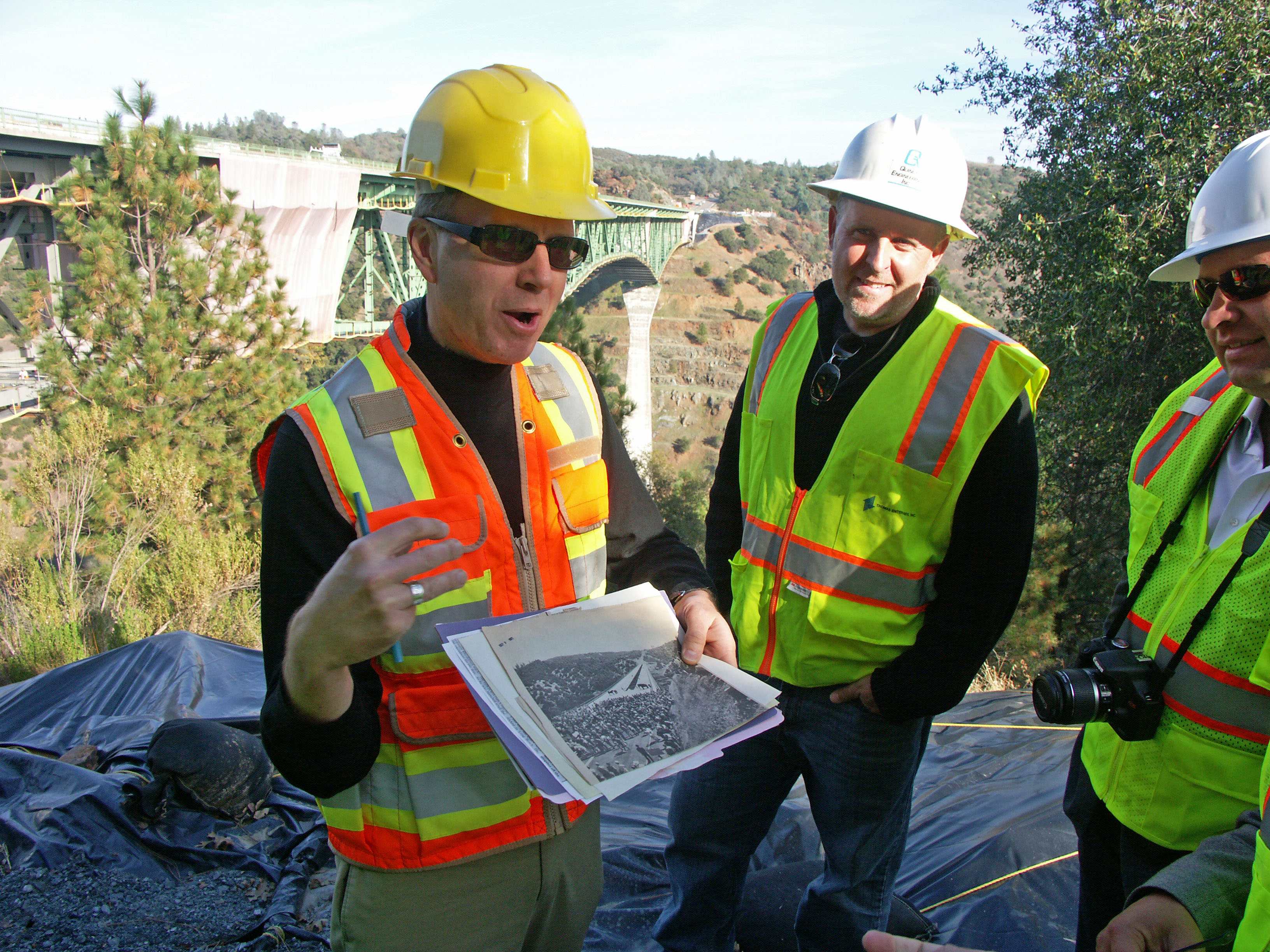
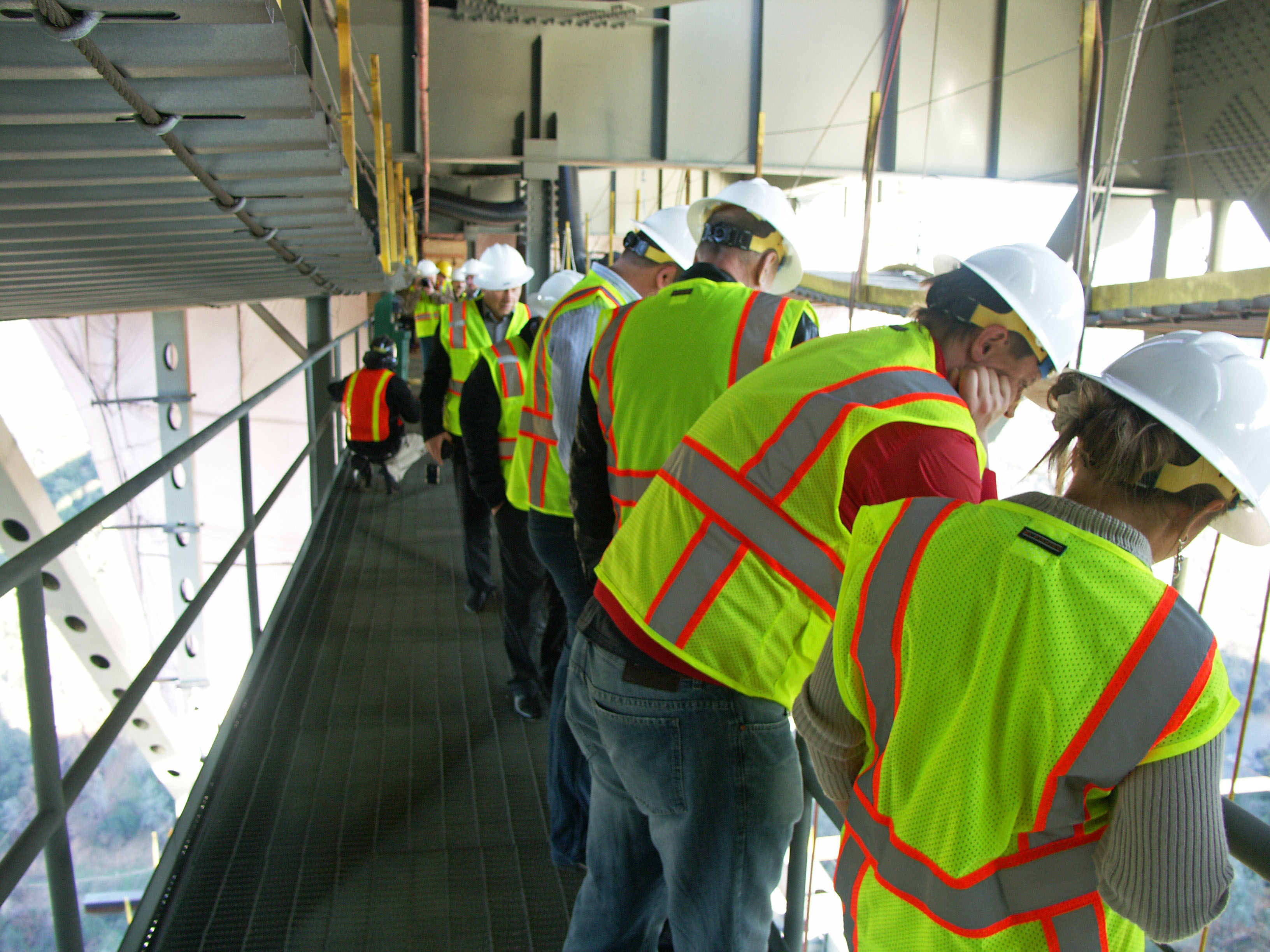
In 2011 a group of Russian bridge engineers came to Auburn for a tour of the bridge rehab. Gus Thomson of the Auburn Journal explains the history of the bridge while Mark Reno of Quincy Engineering looks on. Image by Eric Sakowski / HighestBridges.com
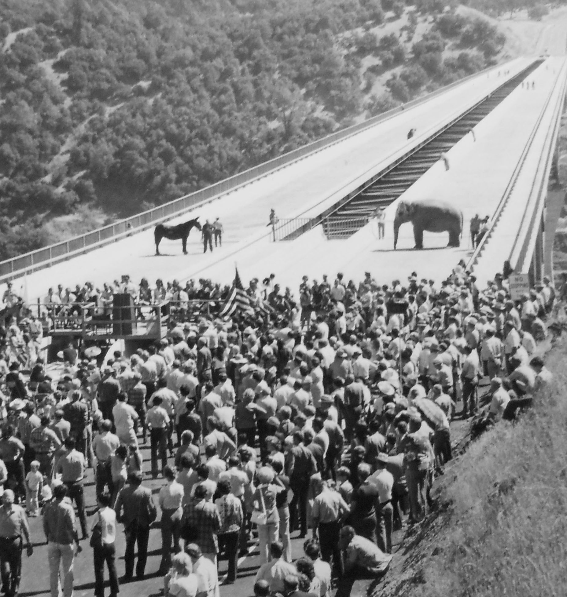
Auburn-Foresthill Bridge dedication with a Democrat donkey squaring off with a Republican elephant. Image courtesy of Gus Thomson / Auburn Journal.
The Russian bridge engineers check out all the activity below from the truss catwalk. Image by Eric Sakowski / HighestBridges.com
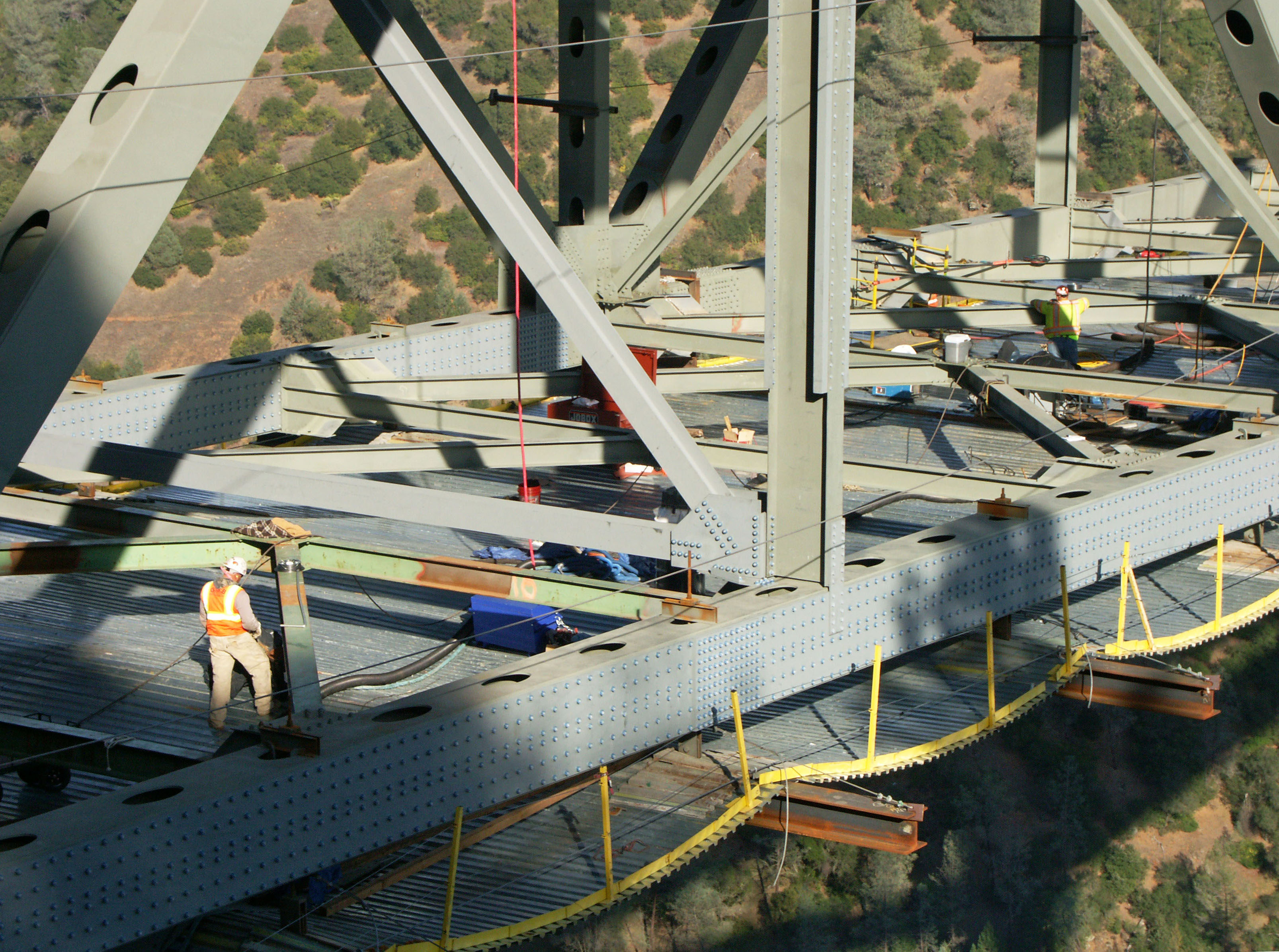
Workers prepare the vertical members before new plates are added along their entire length. Image by Eric Sakowski / HighestBridges.com
The last two panels required plate strengthening along the lower truss horizontals. Image by Quincy Engineering and Placer County, California
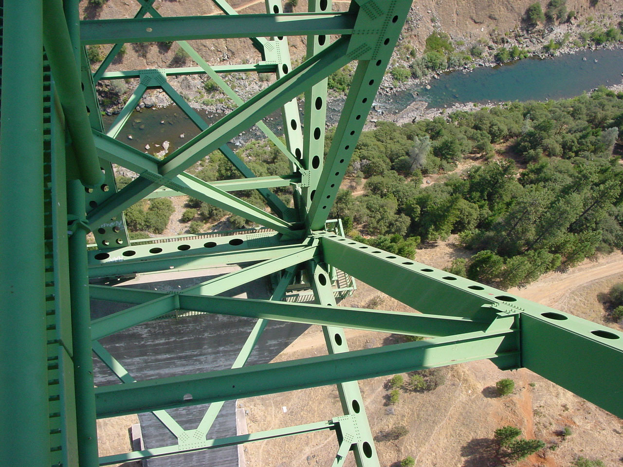
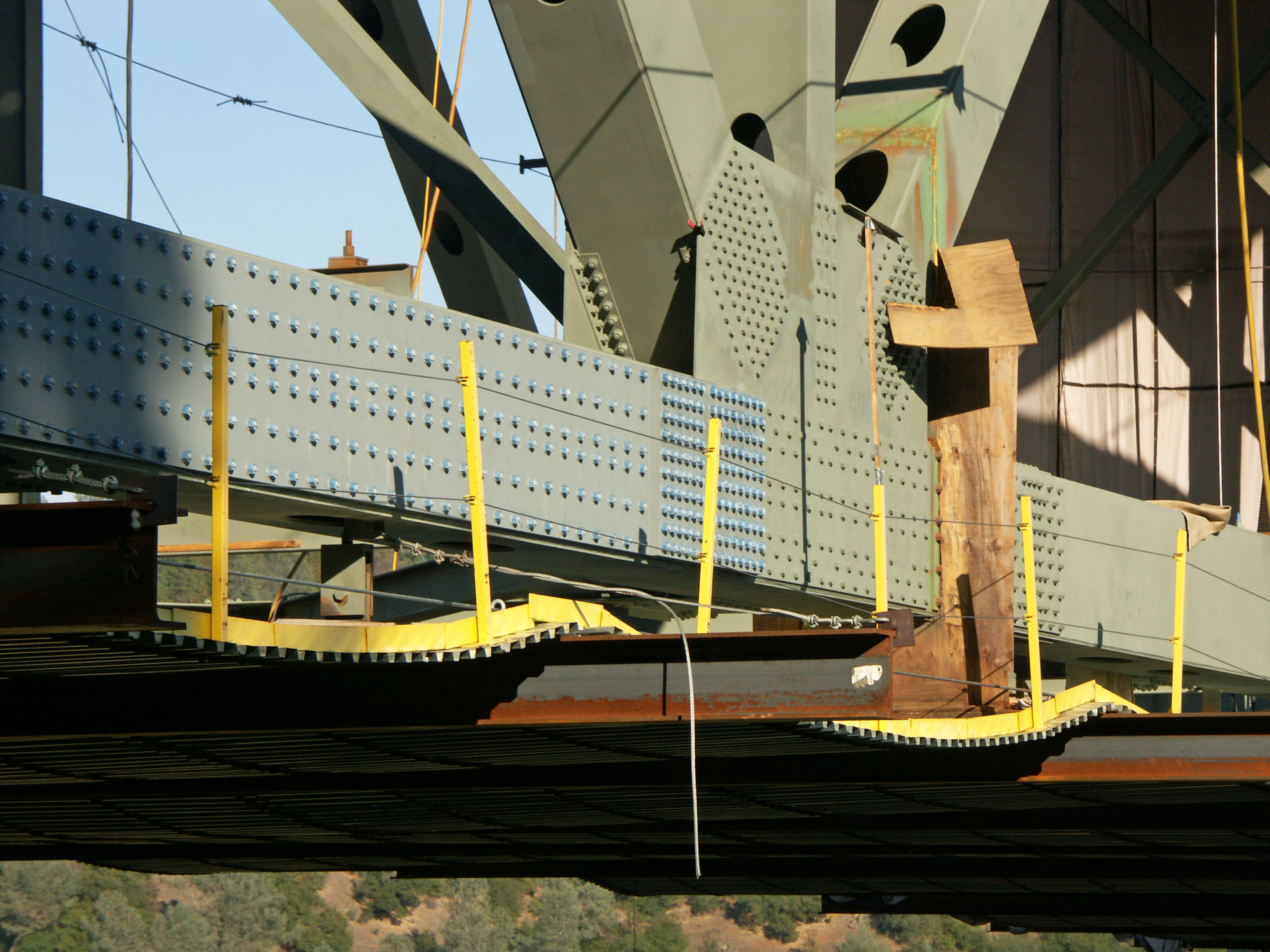
The gray color is from a prime coat that was put onto the member after the old green paint was removed. The 3 coats of paint include the gray primer, an intermediate coat, and green top coat. Image by Eric Sakowski / HighestBridges.com
Image by Eric Sakowski / HighestBridges.com
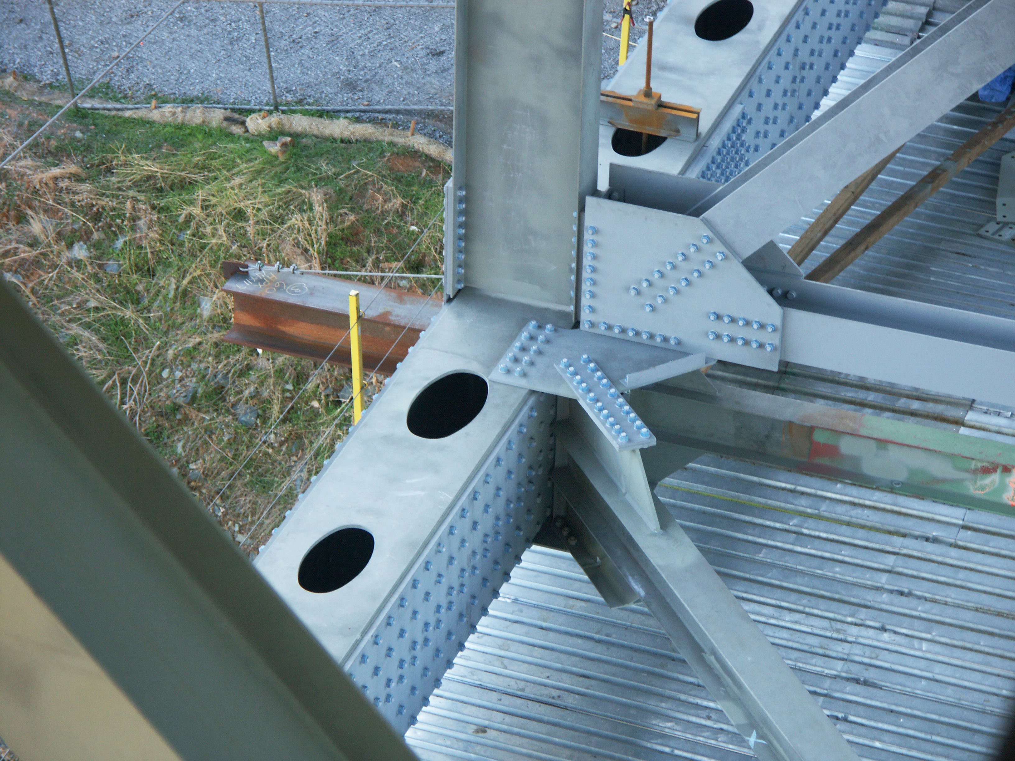
The junction between the first two truss panels shows the plate strengthening as well as the chevron shaped web extension on the horizontal brace. Image by Eric Sakowski / HighestBridges.com
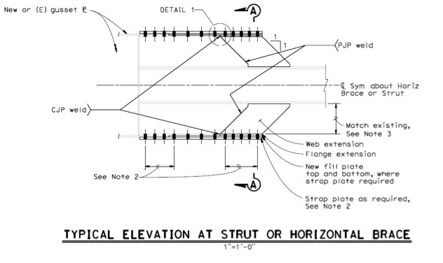
Diagram of the web and flange extensions on the struts and braces. Image by Quincy Engineering and Placer County, California
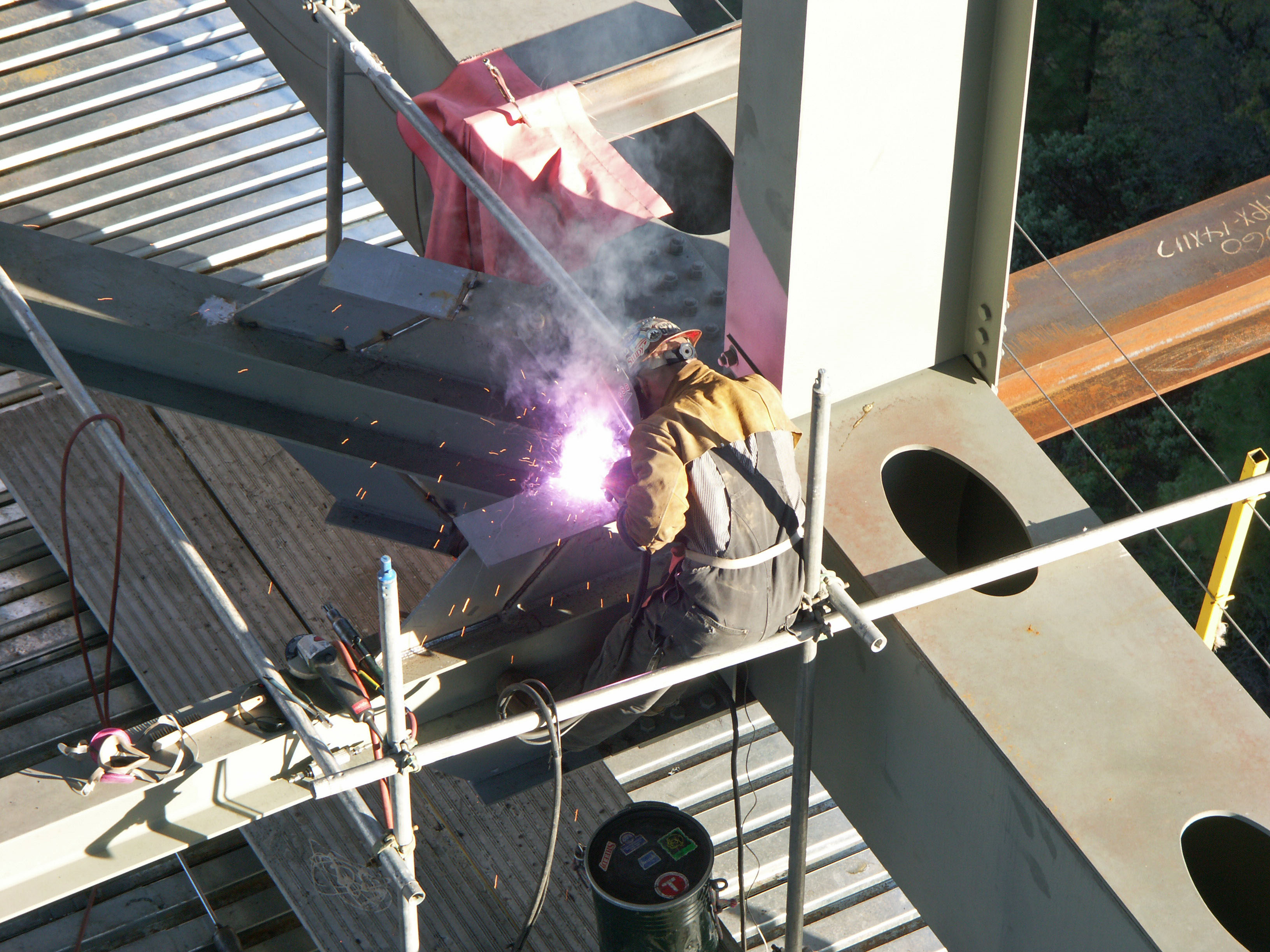
A worker welds one of the chevron shaped extensions to strengthen a horizontal brace. Image by Eric Sakowski / HighestBridges.com
In 2013 the bridge will finally be as wide as 4 lanes but with the approach roadway only 2 lanes, the bridge will only be striped for 2 lanes with the extra width only necessary for highway maintenance vehicles as well as a temporary breakdown lane. Image by Quincy Engineering and Placer County, California
Image by Eric Sakowski / HighestBridges.com
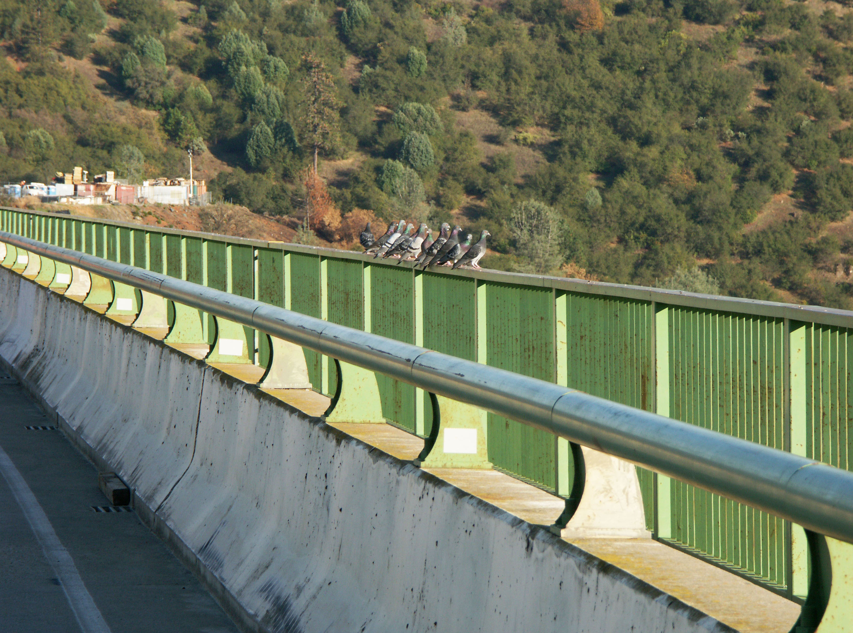
The pedestrian walkway railings are also going to be raised from 4 feet to 6.5 feet for bicyclists. Image by Eric Sakowski / HighestBridges.com
Image by Eric Sakowski / HighestBridges.com
The 403 foot high Auburn Bridge piers are the tallest in the U.S. The rest of America's 12 tallest bridge piers include Archie Stevenot Bridge at approximately 400 feet, New River Gorge Bridge at 380 feet, Pit River Bridge at 358 feet, Glade Creek Bridge at 341 feet, Pine Valley Bridge at approximately 340 feet, Hansen Bridge at 337 feet, Hoover Dam Bridge at 287 feet, the upcoming Pond Creek at 280 feet, the defunct Kinzua Bridge at 278 feet, Thomas Creek at 270 feet and the old Pecos River Railway Bridge tower at 270 feet. Among all bridges in North America, Mexico has at least 5 bridges with taller piers led by the monstrous 732 foot tall pier of the San Marcos Bridge. Image by Eric Sakowski / HighestBridges.com
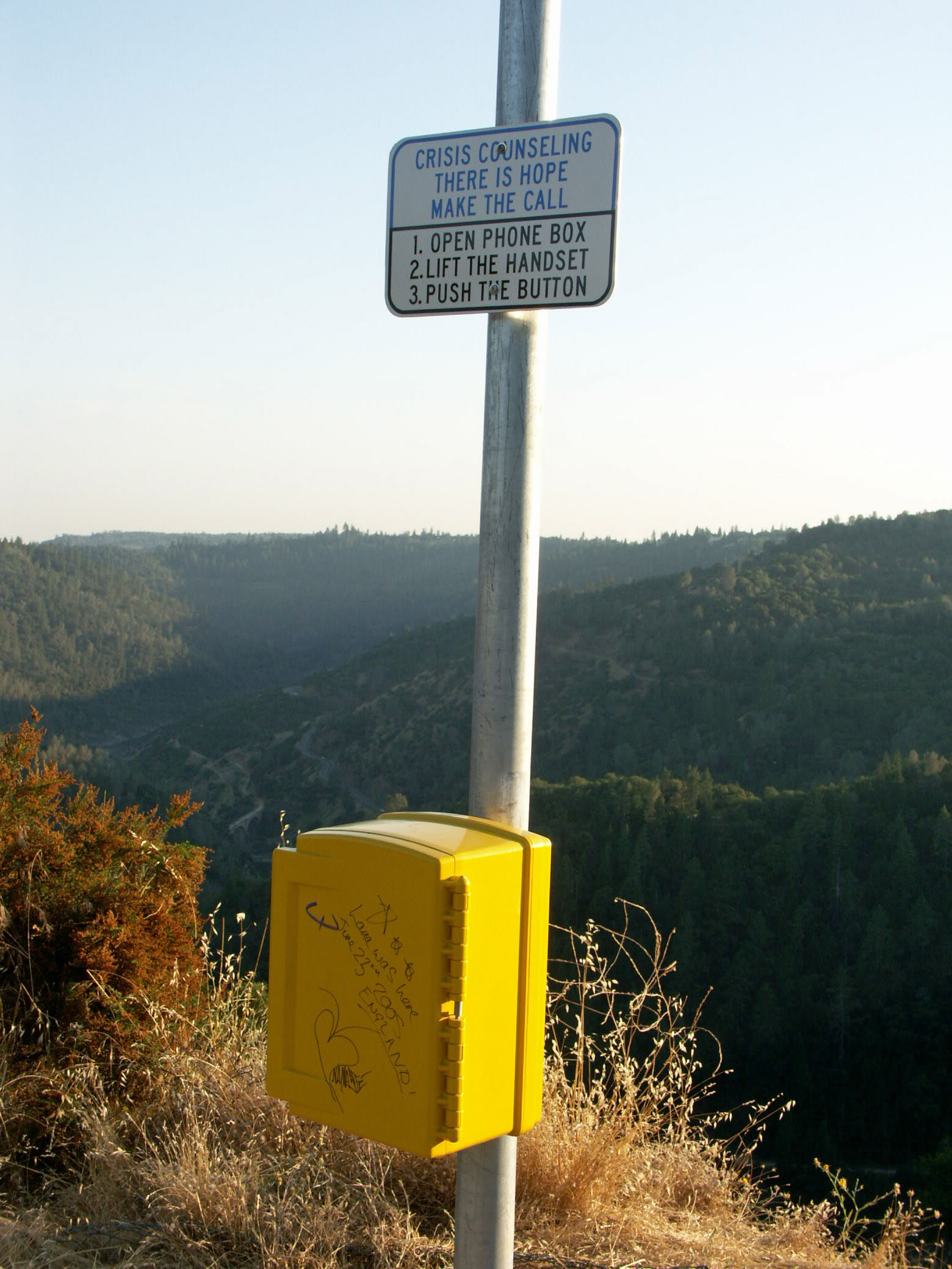
Call boxes were added in later years to help reduce the once-a-year suicide rate. Image by Eric Sakowski / HighestBridges.com
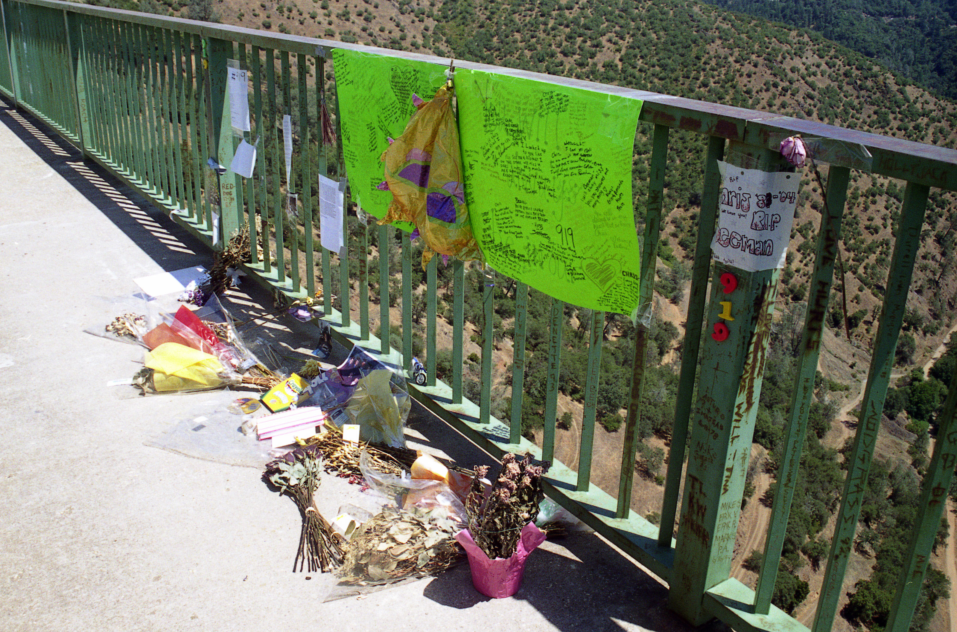
Temporary 2004 bridge memorial for Chris Beeman. http://auburnjournal.com/detail/130040.html Image by Eric Sakowski / HighestBridges.com
Image by Eric Sakowski / HighestBridges.com
Image by Eric Sakowski / HighestBridges.com
Image by Eric Sakowski / HighestBridges.com
Image by Eric Sakowski / HighestBridges.com
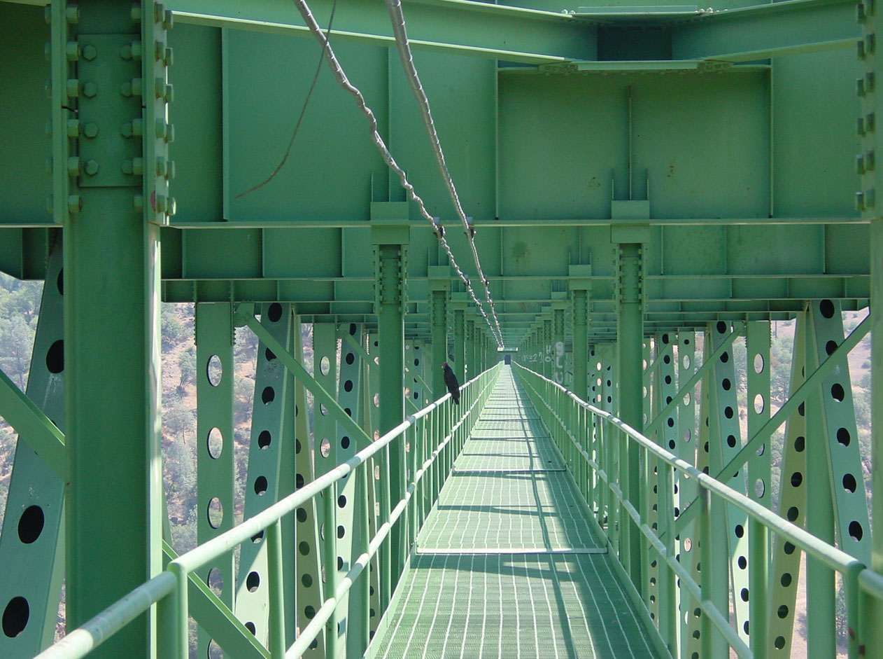
A crow warns all those who enter. Image by Mark Ketchum.
Image by Mark Ketchum.
Image by Mark Ketchum.
BASE jumper Marta Empinotti leaps into space. Photo by http://www.ChrisBazil.com
Photo by http://www.ChrisBazil.com
Image by Eric Sakowski / HighestBridges.com
Image by Eric Sakowski / HighestBridges.com
The two massive piers rise 403 feet (123 meters) above their foundations.
Image by Eric Sakowski / HighestBridges.com
Image by Eric Sakowski / HighestBridges.com
The Ruck-A-Chucky Bridge plan proposal for the upper end of the reservoir. This one-of-a-kind cable stayed bridge might have been completed if the Auburn Dam was built. The span would have had no bridge piers or towers - the cables would have been anchored directly into the side of the mountain.
Ruck-A-Chucky Bridge location on the Middle Fork of the American River about 10 miles northeast of the Auburn-Foresthill Bridge.
The bridge would have been located just downstream of the Ruck-A-Chucky Rapids and connected Sliger Mine Road with McKeon Ponderosa Way. With Greenwood bridge gone there is no crossing of the Middle Fork American River in either direction for more than 15 miles. The bridge was destroyed from the 1964 collapse of the Hell Hole dam and is now a popular spot for rafters to take out. If the Auburn Dam was completed this entire stretch of river would have been under 380 feet of water.
Auburn-Foresthill is the world's highest cantilever bridge at 730 feet (223 mtrs) while Phil G McDonald is the world's highest truss bridge at 700 feet (213 mtrs).
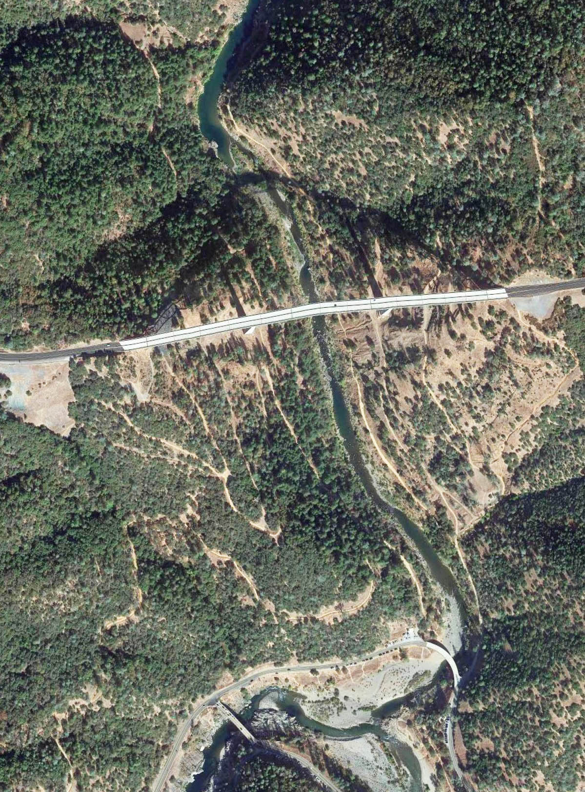
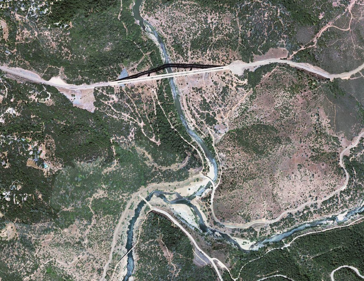
Auburn-Foresthill Bridge satellite image.
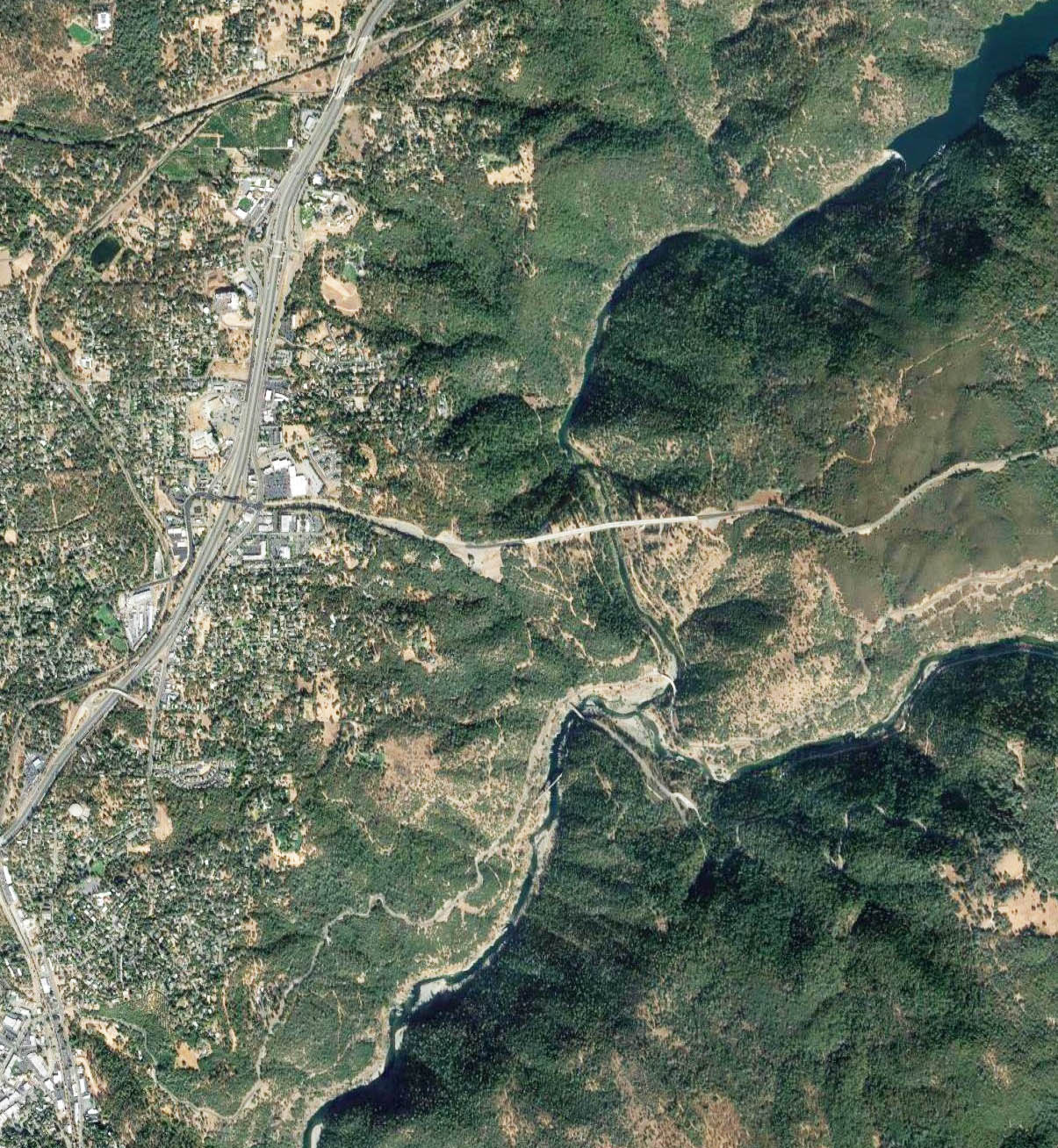
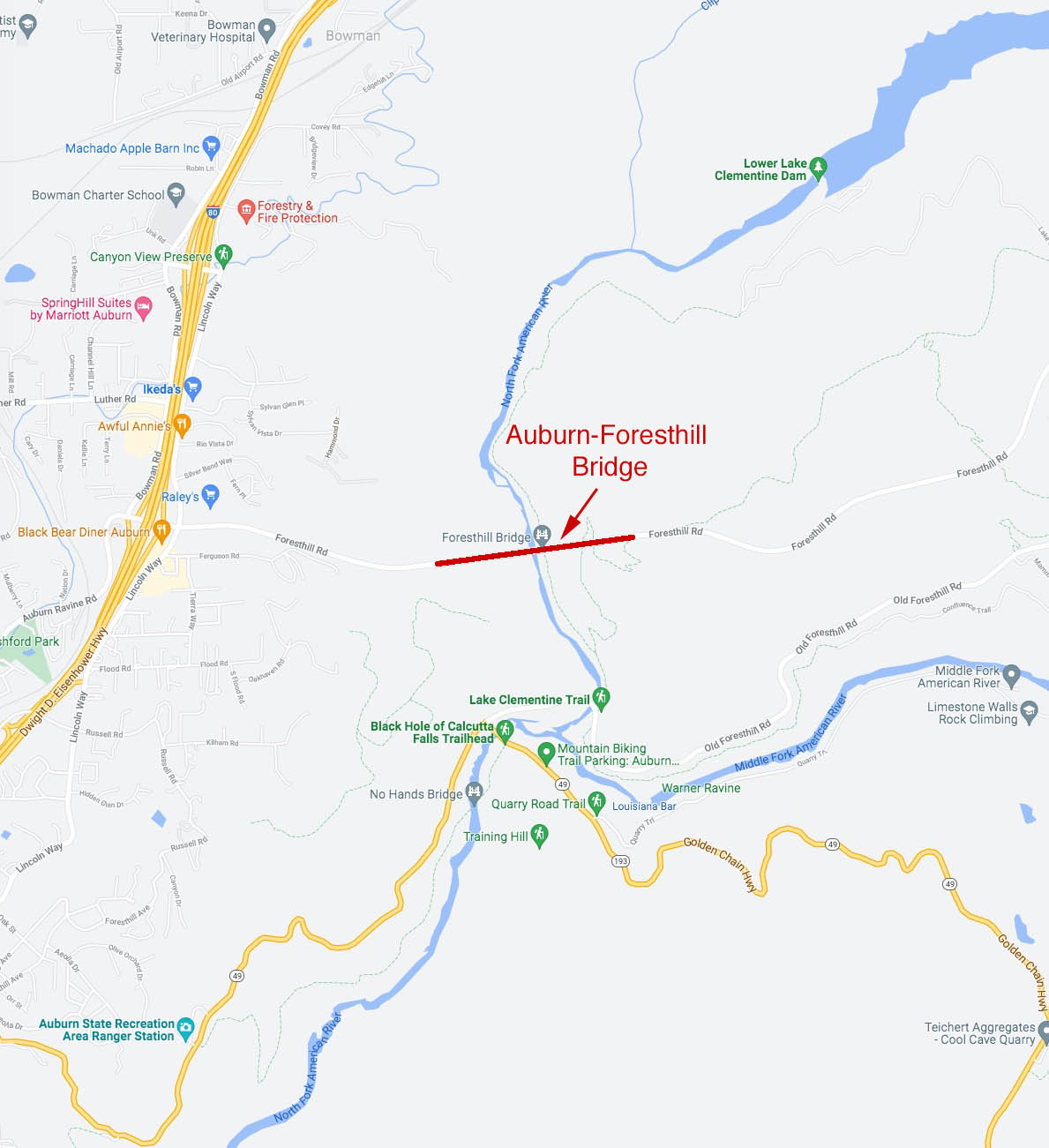
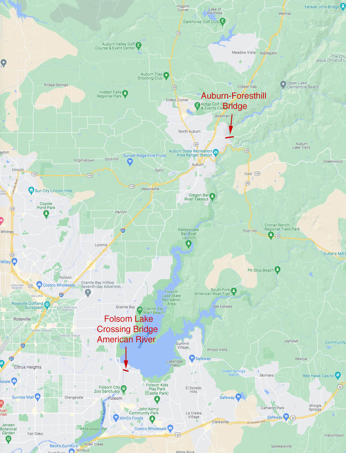
Auburn-Foresthill Bridge location map.
