Bidwell Bar Bridge
Bidwell Bar Bridge
Oroville, California, United States
627 feet high / 191 meters high
1,108 foot span / 338 meter span
1965
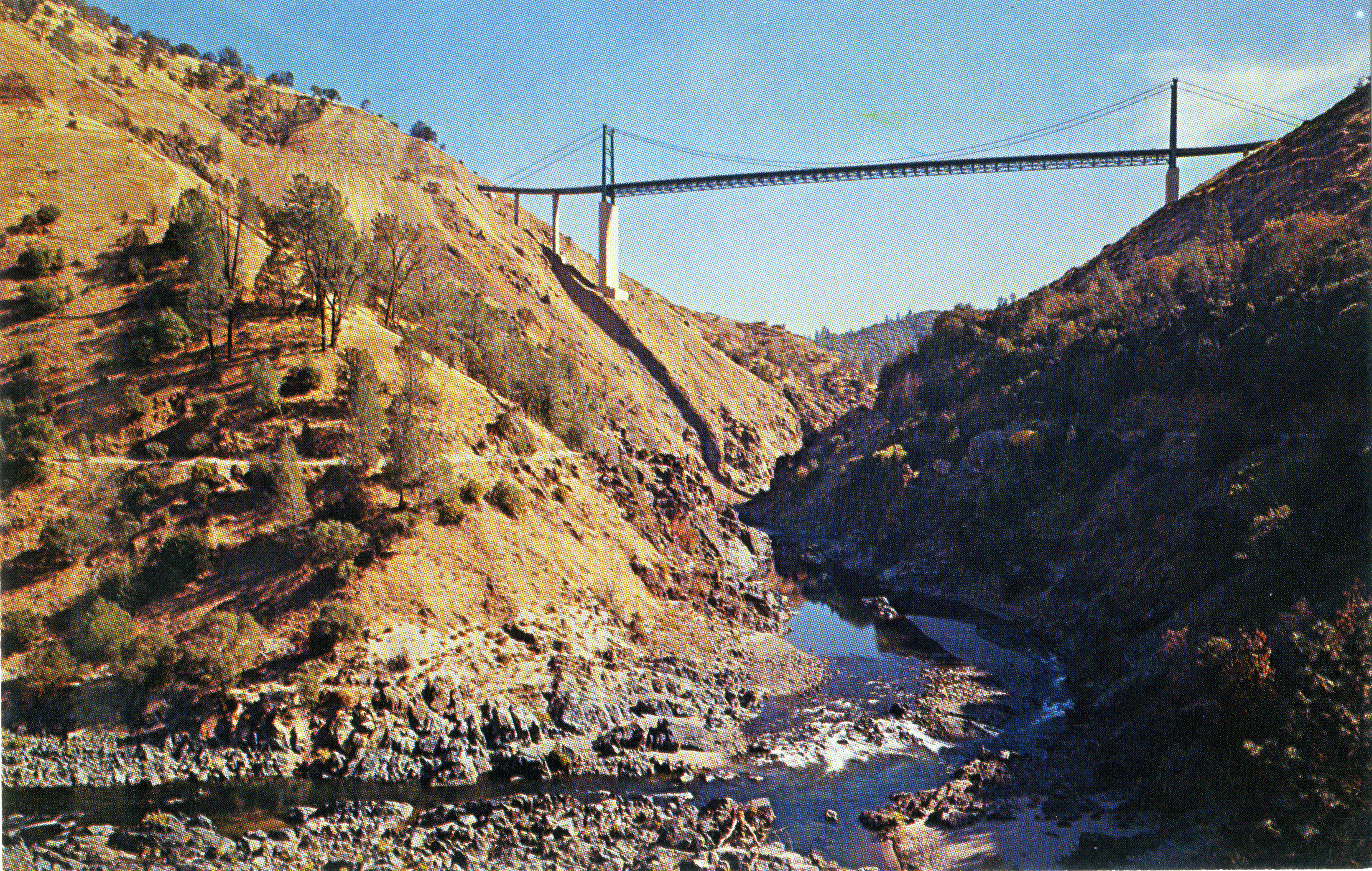
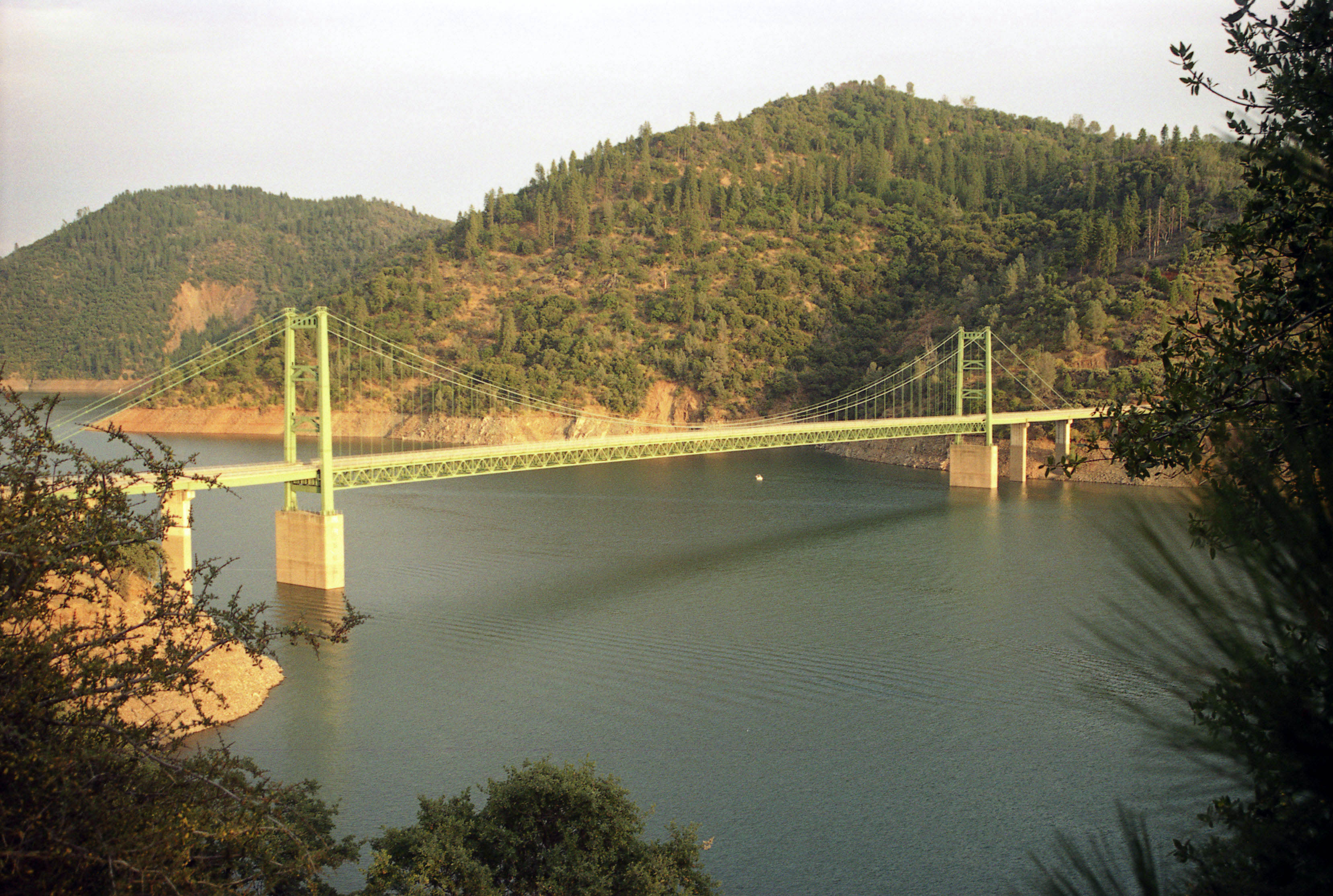
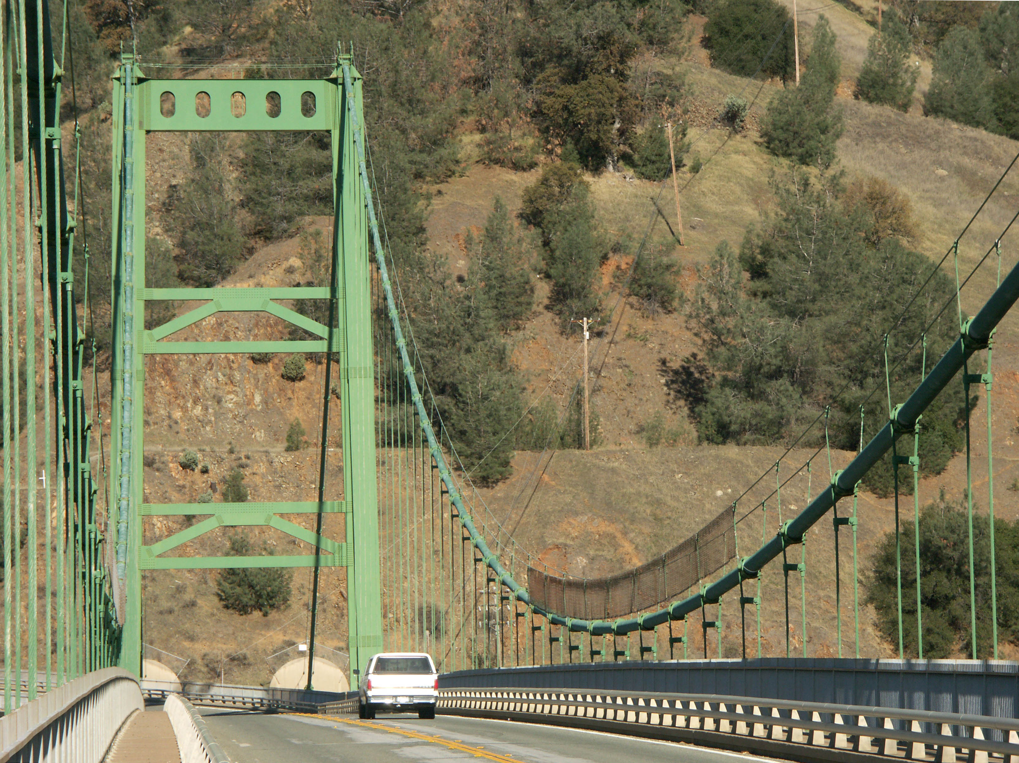
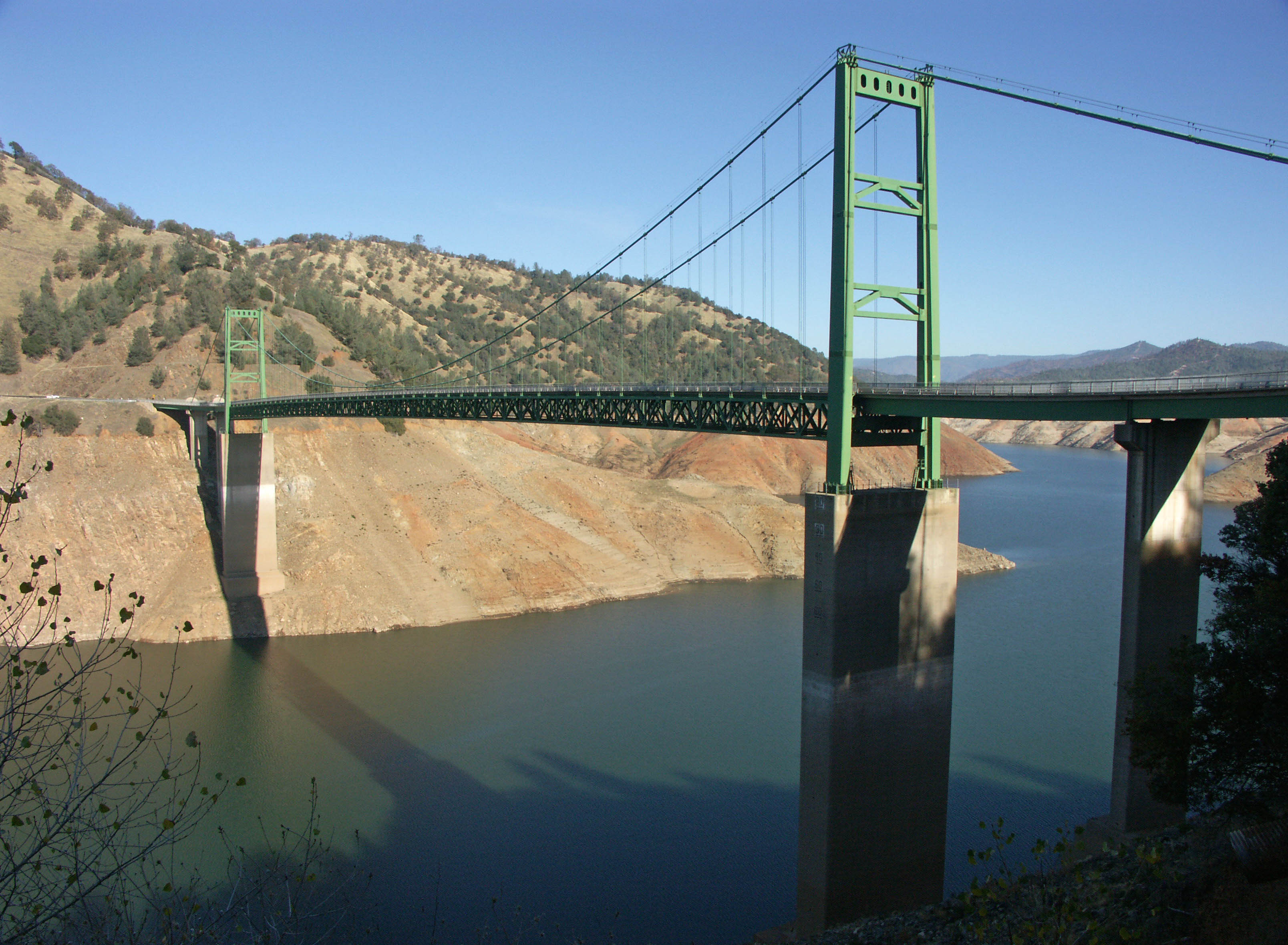
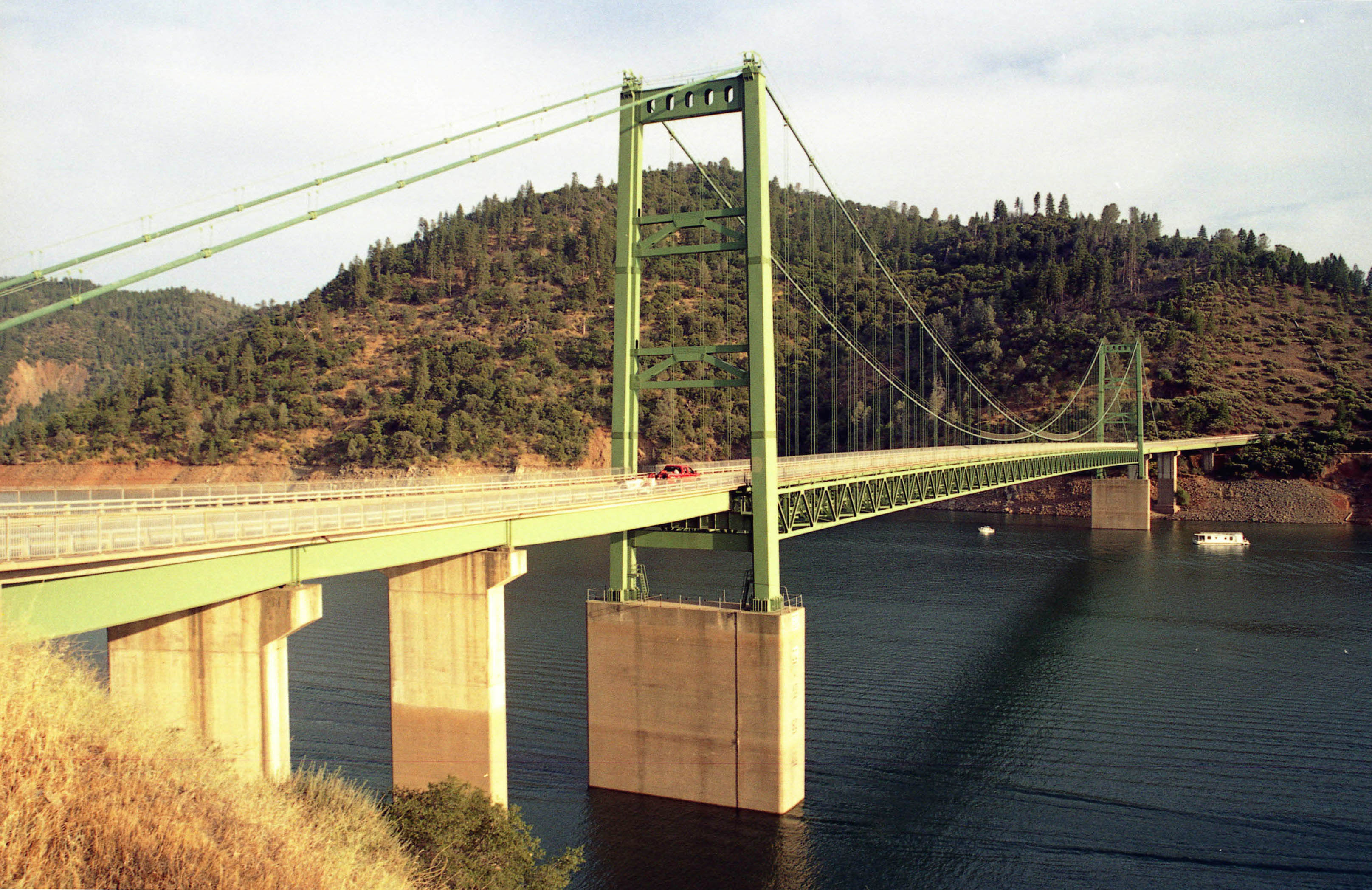
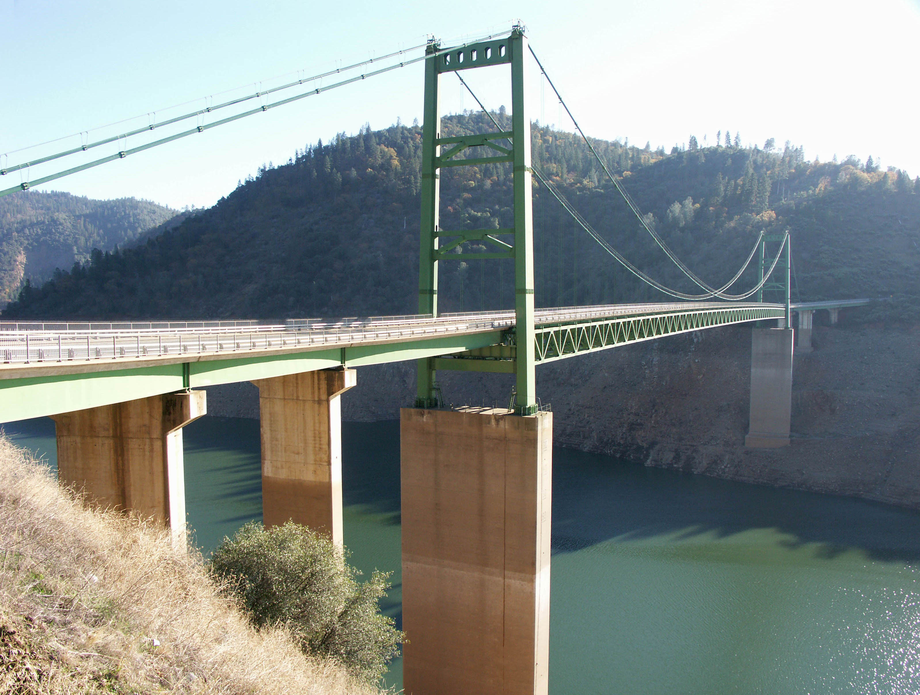
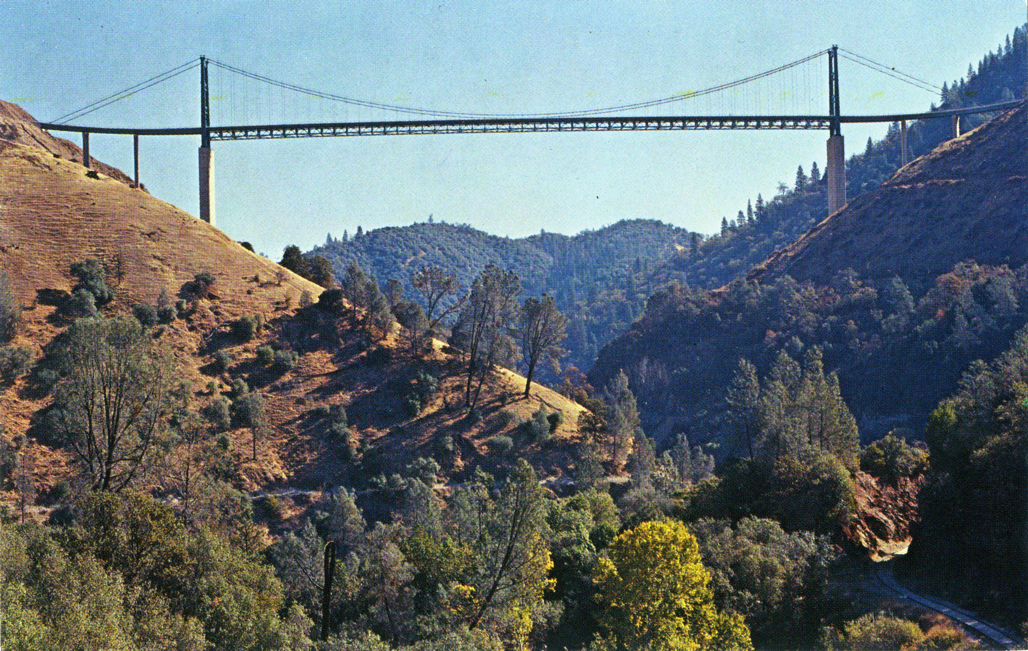
The highest reservoir bridge in North America, the 1965 Bidwell Bar suspension bridge crosses the Middle Fork of the Feather River at Lake Oroville in the U.S. state of California. At the time of its completion, it was the 3rd highest bridge in the world after the Royal Gorge suspension and Glen Canyon Dam arch bridges. The creation of America’s deepest man-made lake started in the early 1960s when construction began on the Oroville Dam. Completed in 1968, the earth fill structure is the highest in the United States measuring 770 feet (235 meters) from base to crest.
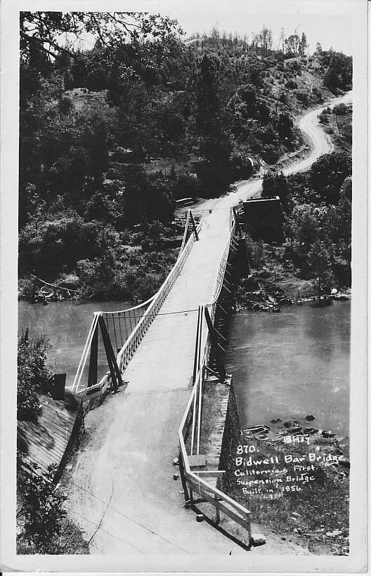
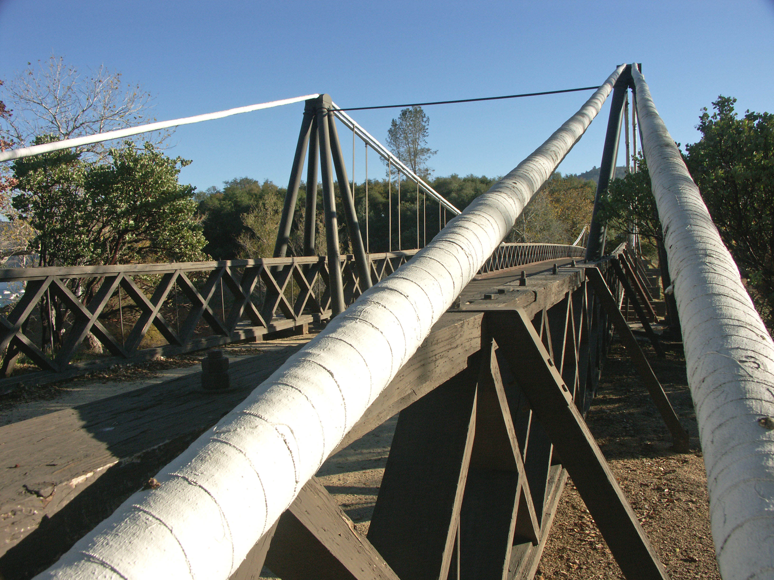
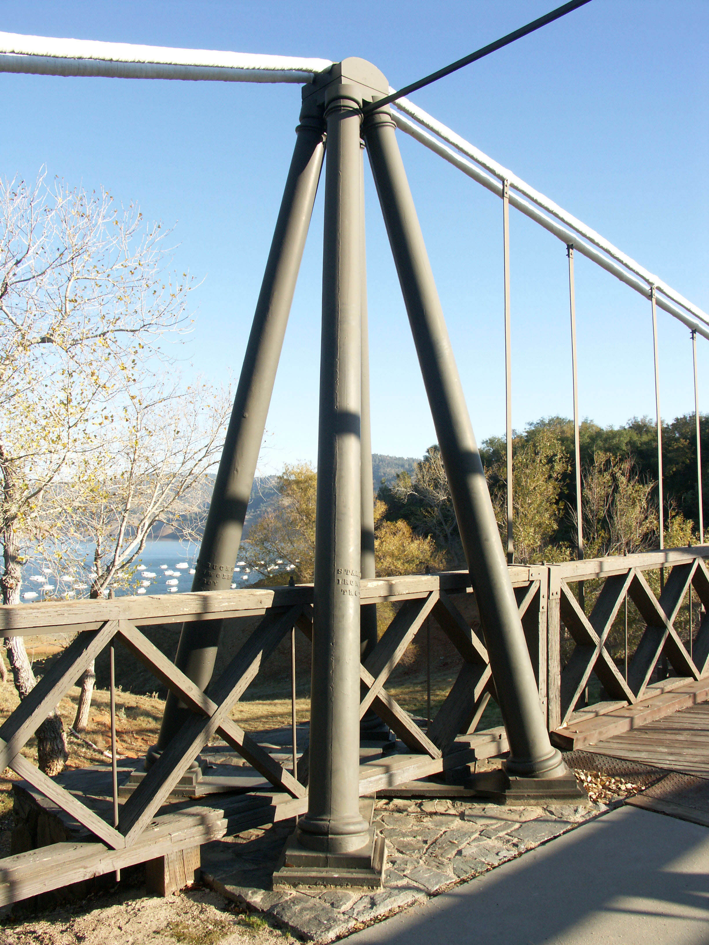
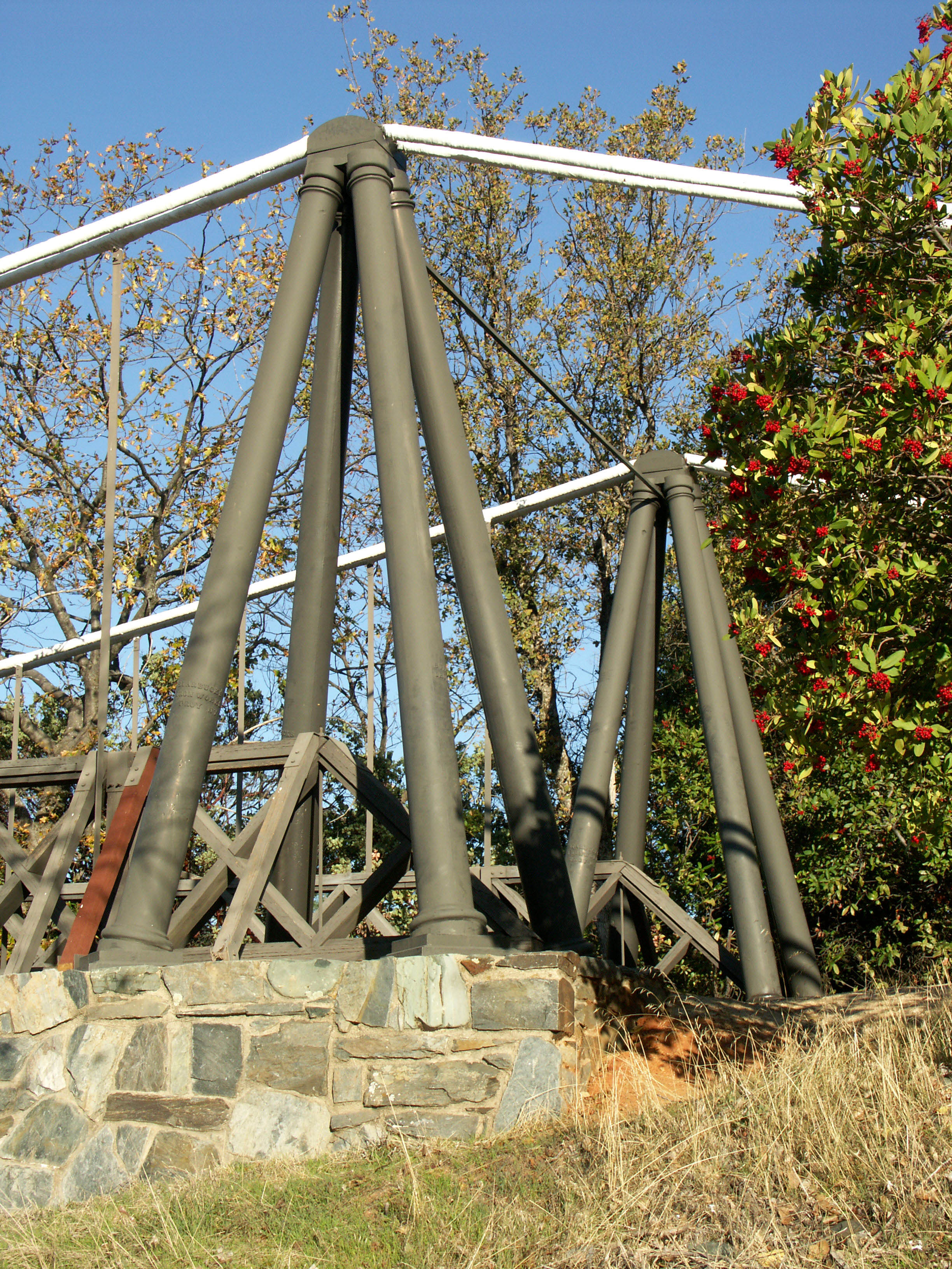
The current Bidwell bridge was preceded by the original Bidwell Bar bridge of 1856. One of California’s earliest suspension spans, it crossed the Feather River just upstream from the current bridge but approximately 600 feet (183 meters) lower in elevation. According to a Caltrans District 3 newsletter the bridge's wrought and cast iron materials were made in Troy, New York and shipped around Cape Horn South America by ship. California Highway Commission maintenance crews retrofitted the bridge from November 1932 to May 1933, adding a new timber deck system – new steel stiffening truss, timber curbs and bridge approach timber guard rails. This strengthened superstructure allowed for two-way traffic and heavier trucks. Vehicle traffic used the bridge until after World War II, when a new modern steel structure on realigned State Highway 162 was constructed. Each of the 4 suspension bridge cables is 7 inches in diameter. The bridge was last opened to traffic in 1954.
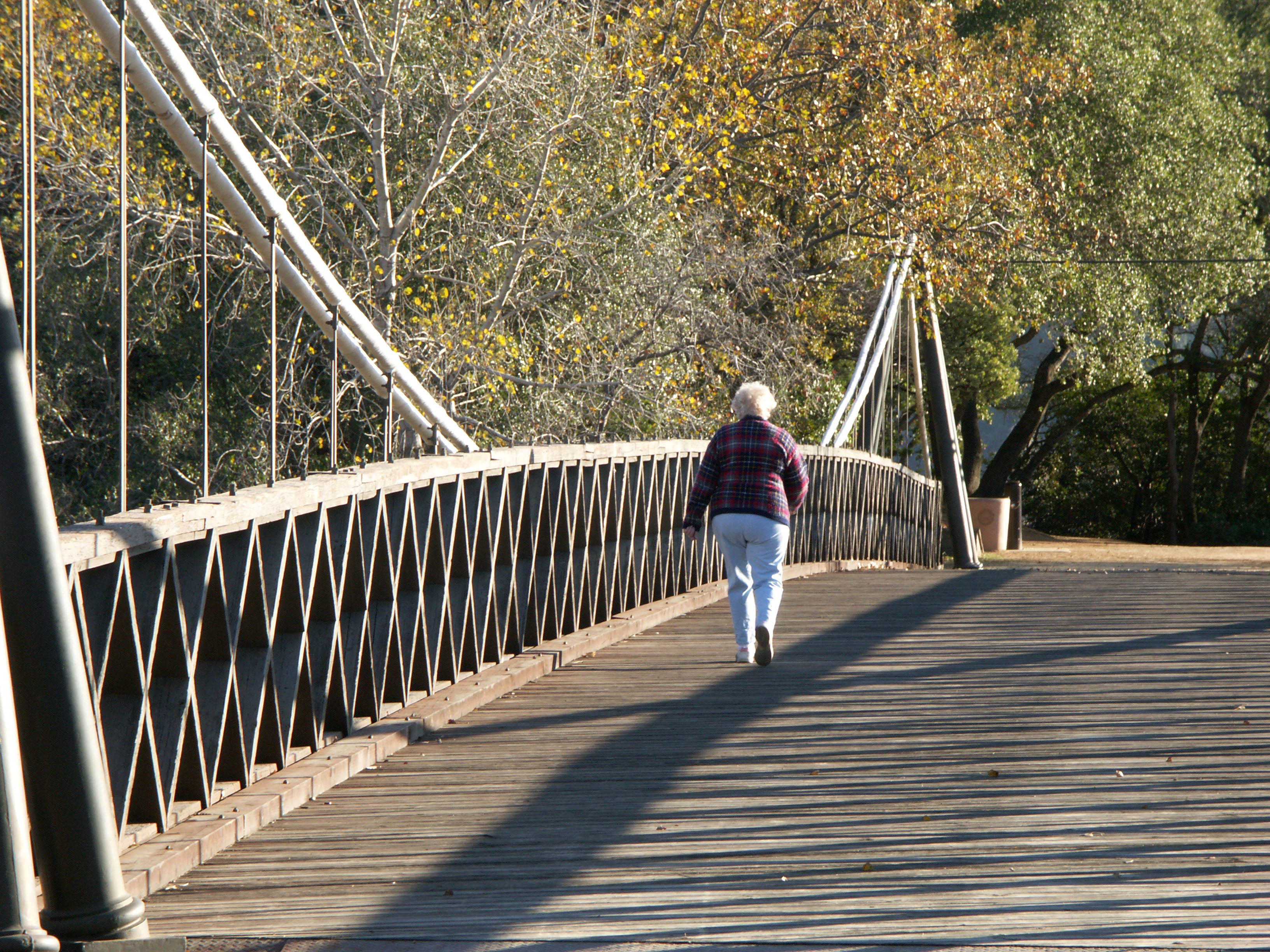
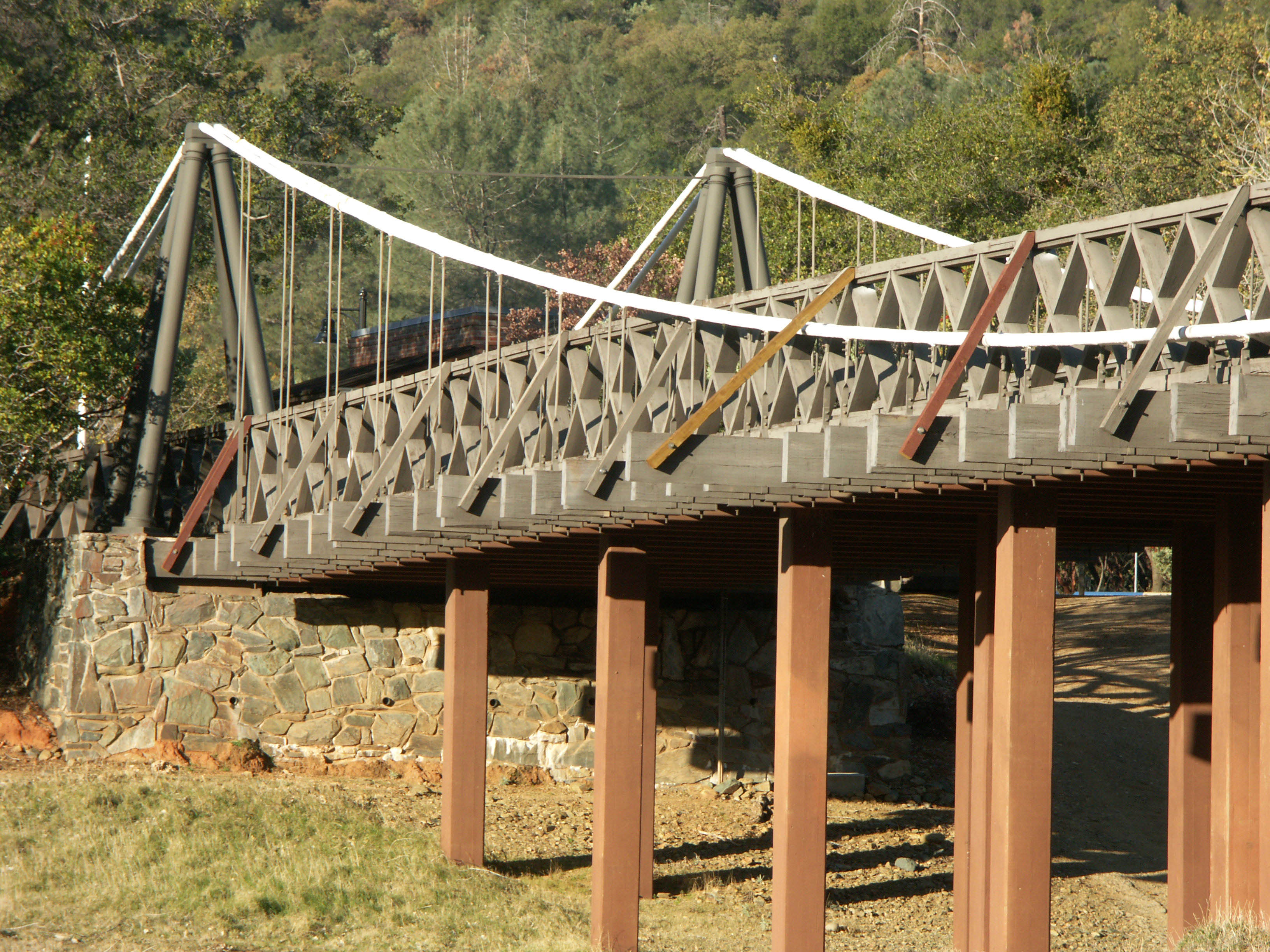
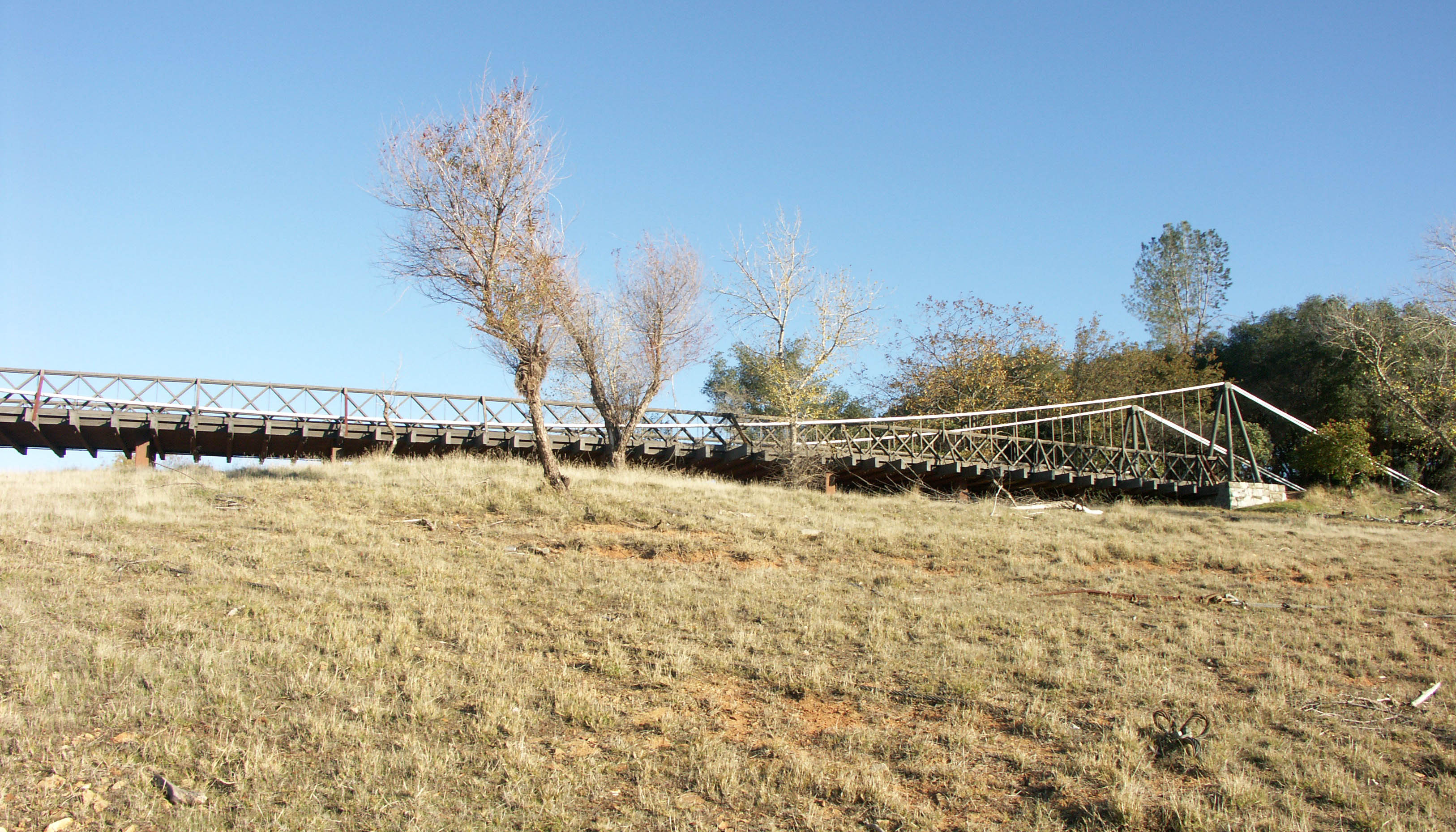
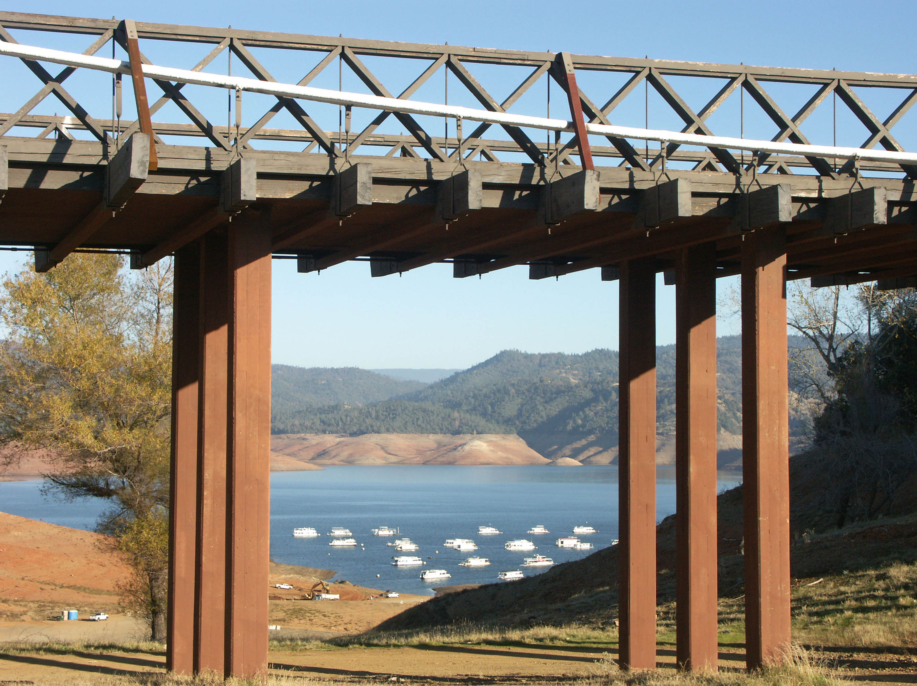
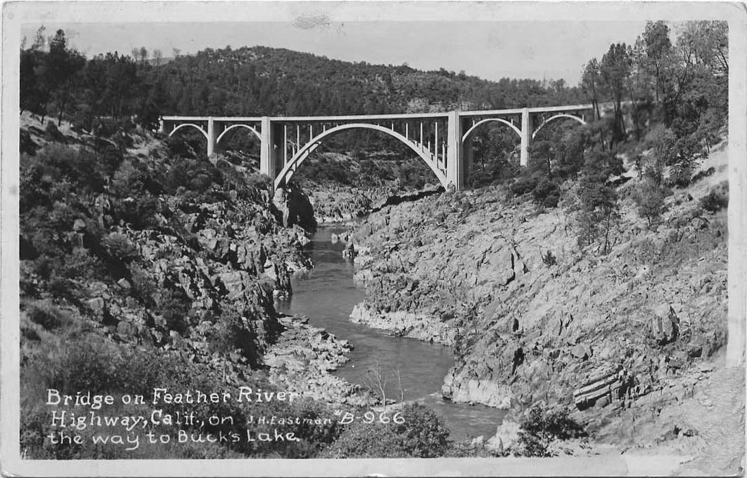
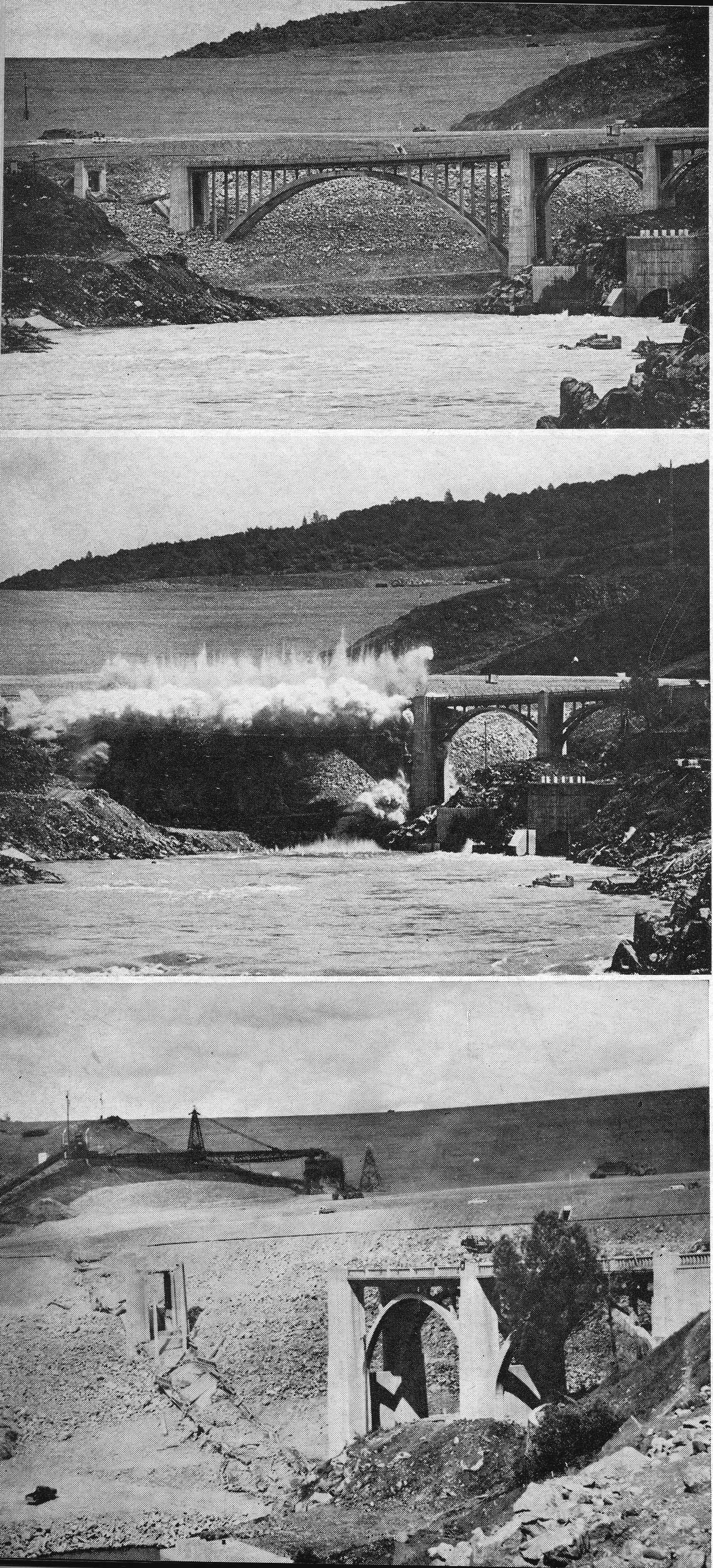
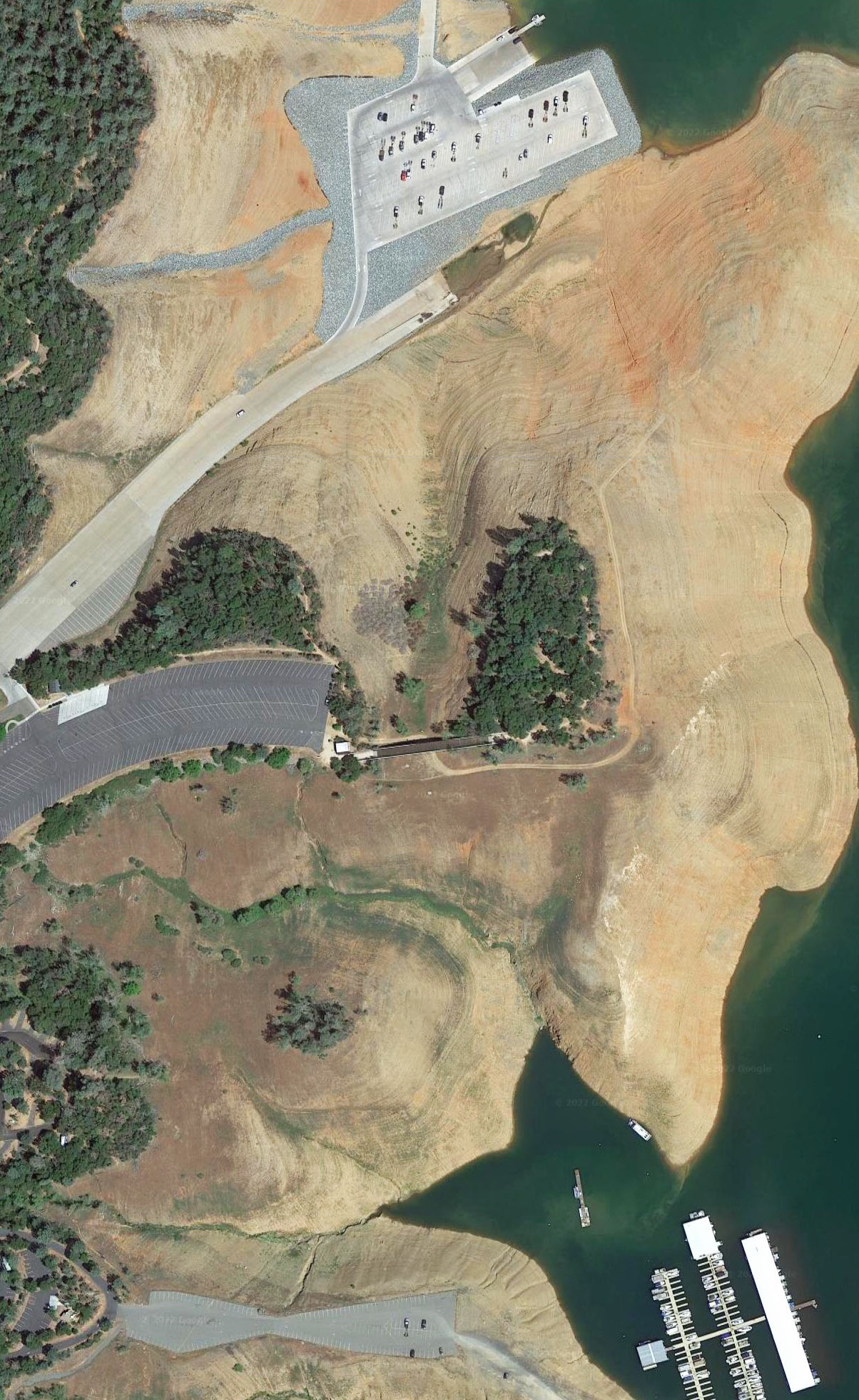
Due to the historical nature of the bridge, it was completely disassembled and rebuilt in 1965 at the Kelly Ridge park and boat ramp at the edge of the reservoir 1.5 miles (2.4 kms) from its original location. Additional supports were added beneath the suspended span. The original toll house was also rebuilt. Unless the reservoir is at its full pool elevation of 900 feet (274 meters), the structure crosses little more than a patch of dirt and grass. But whether its crossing dry land or water, a visit to this 150+ year old classic is a must for any bridge fan. One structure in the area that was not so lucky was the old Hansell’s concrete arch bridge that also crossed the Middle Fork of the Feather River at the bottom of the canyon. Located at the base of the new dam, it was blown up in the mid-1960s.
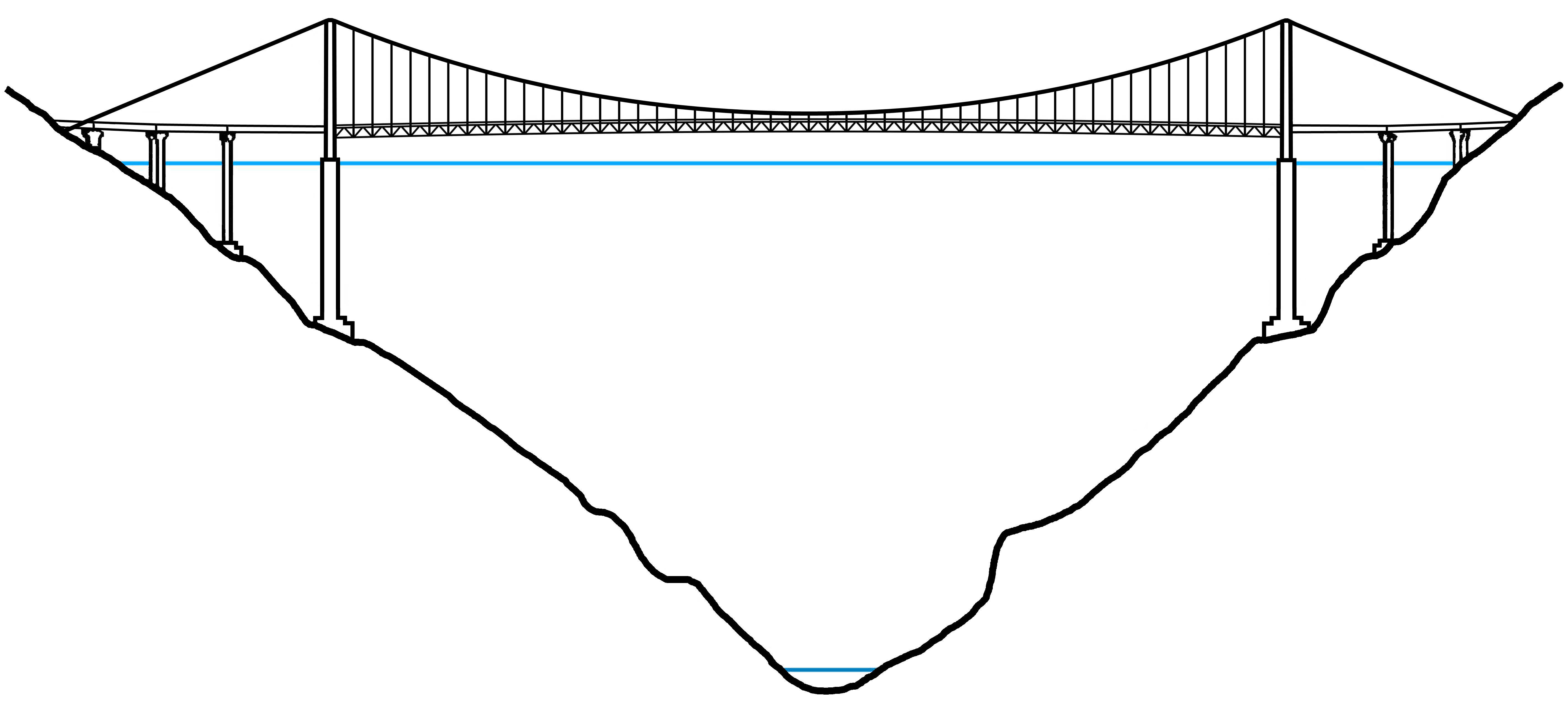
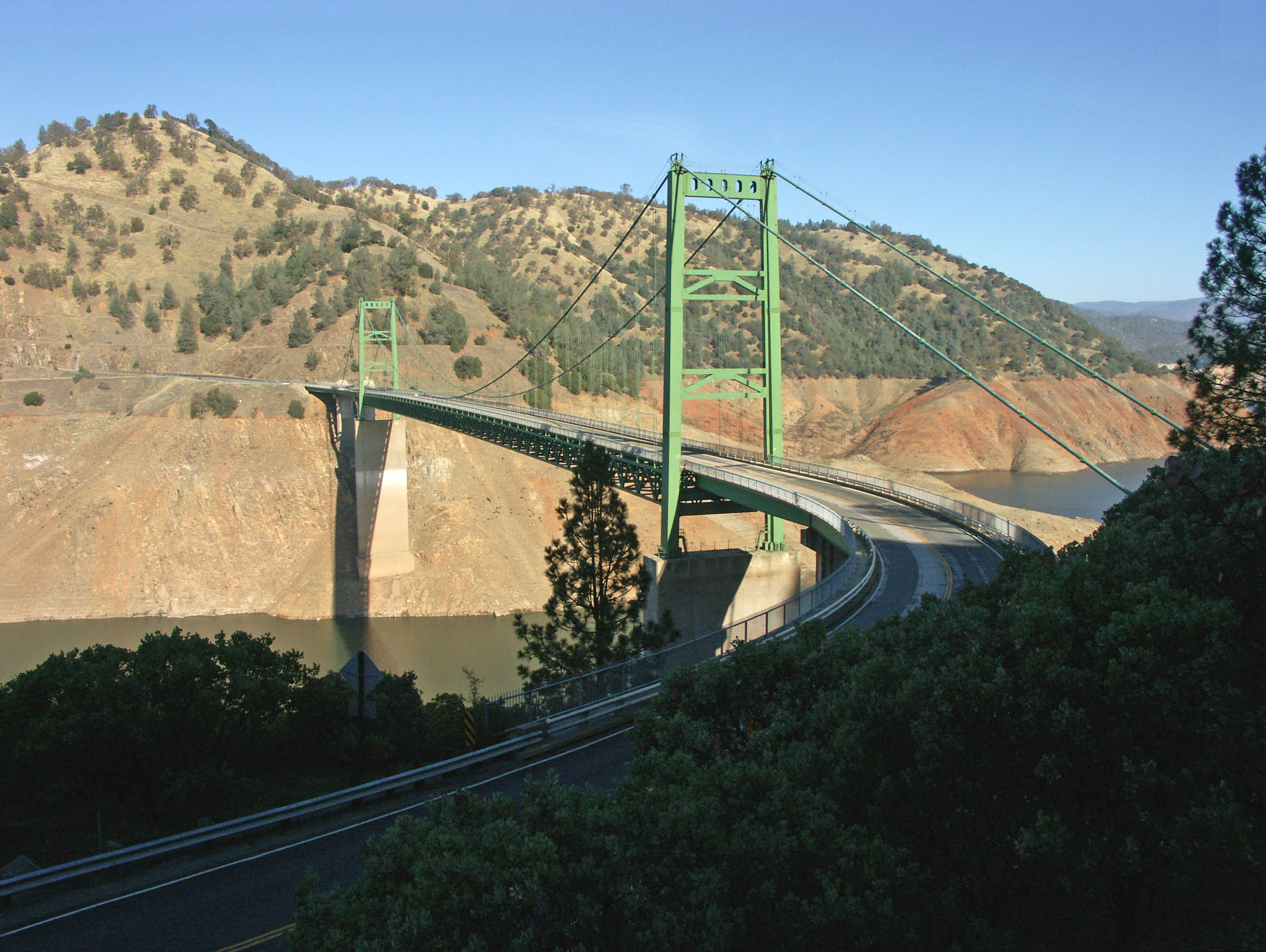
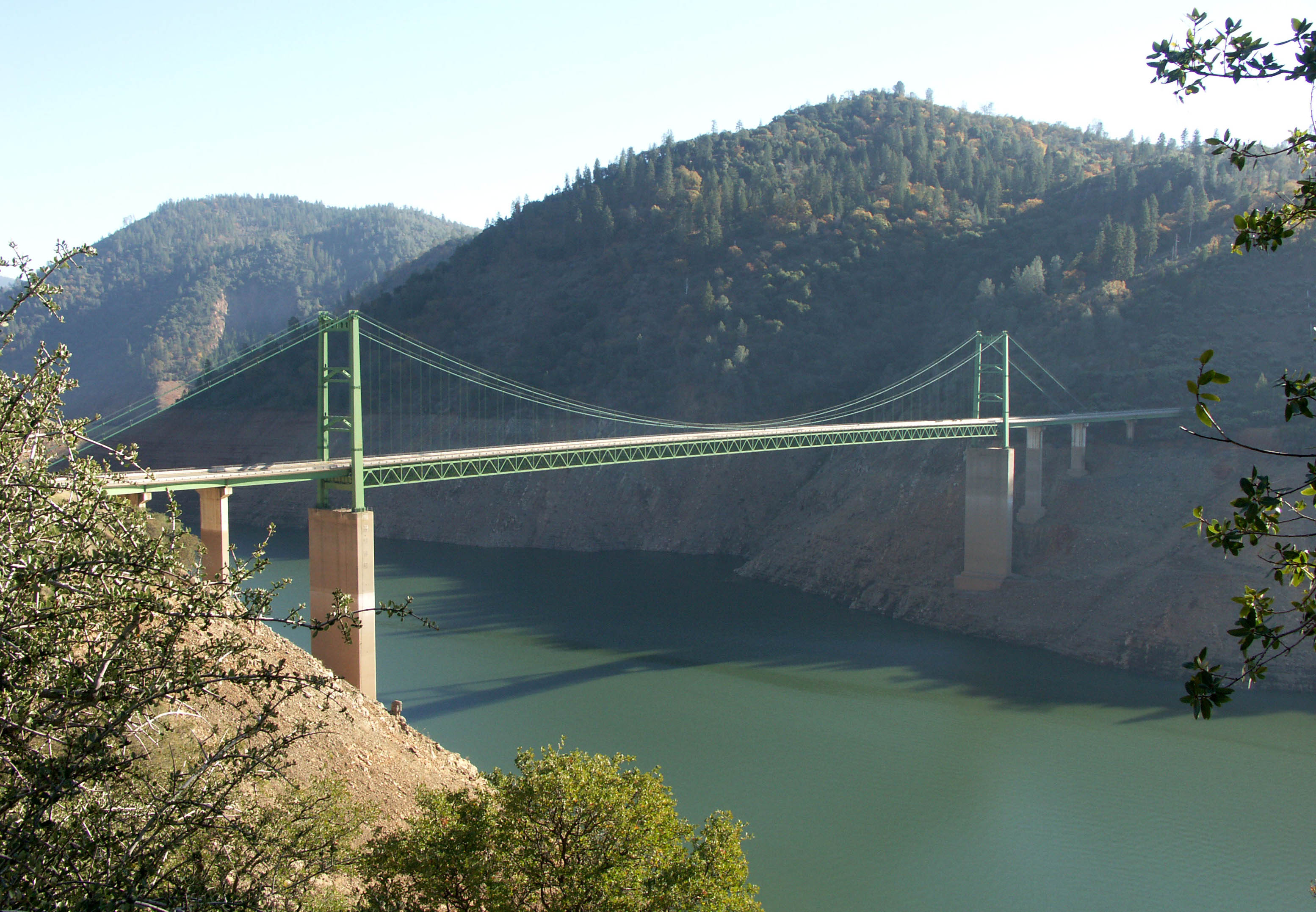
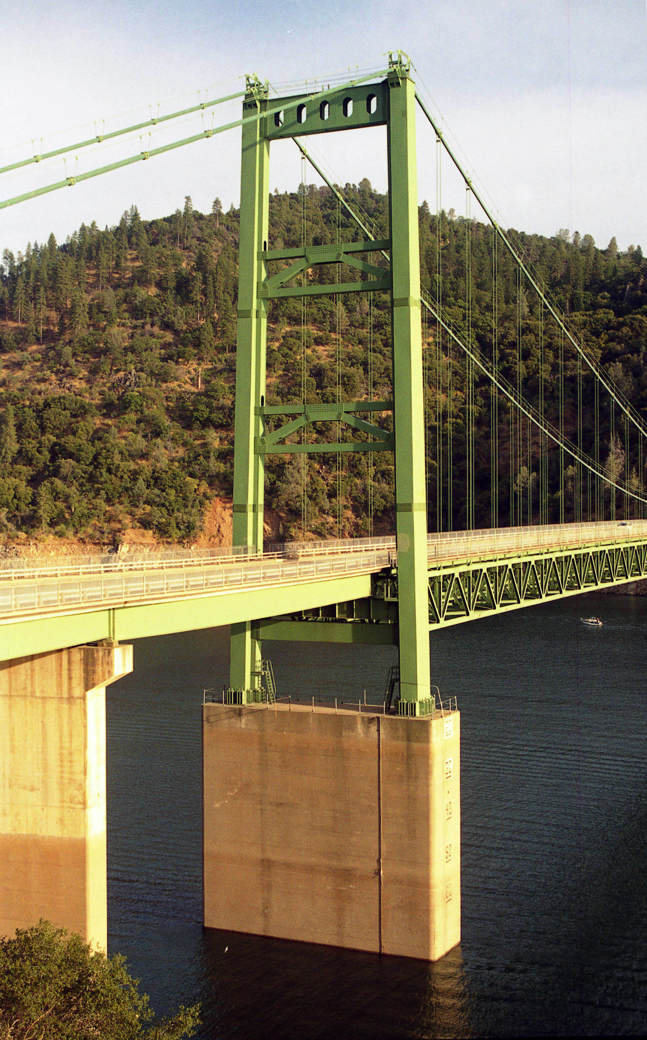
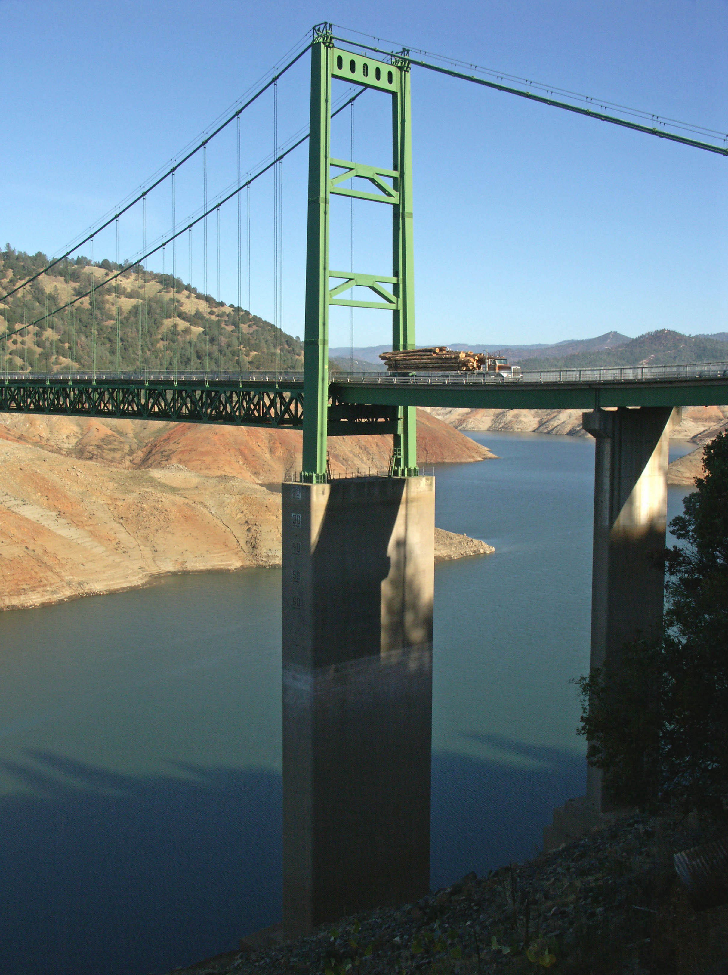
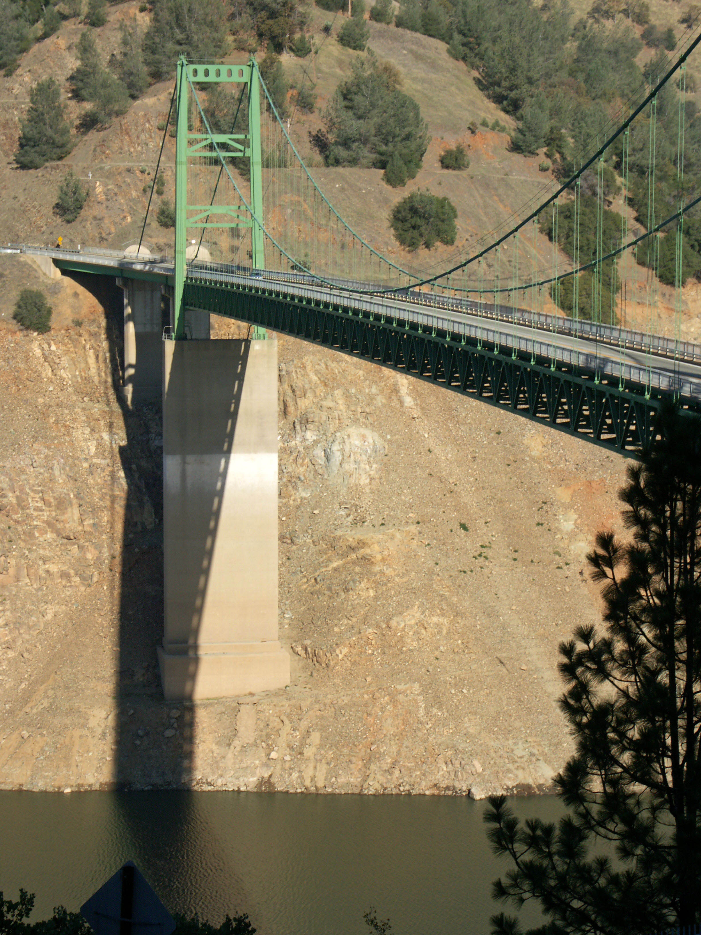
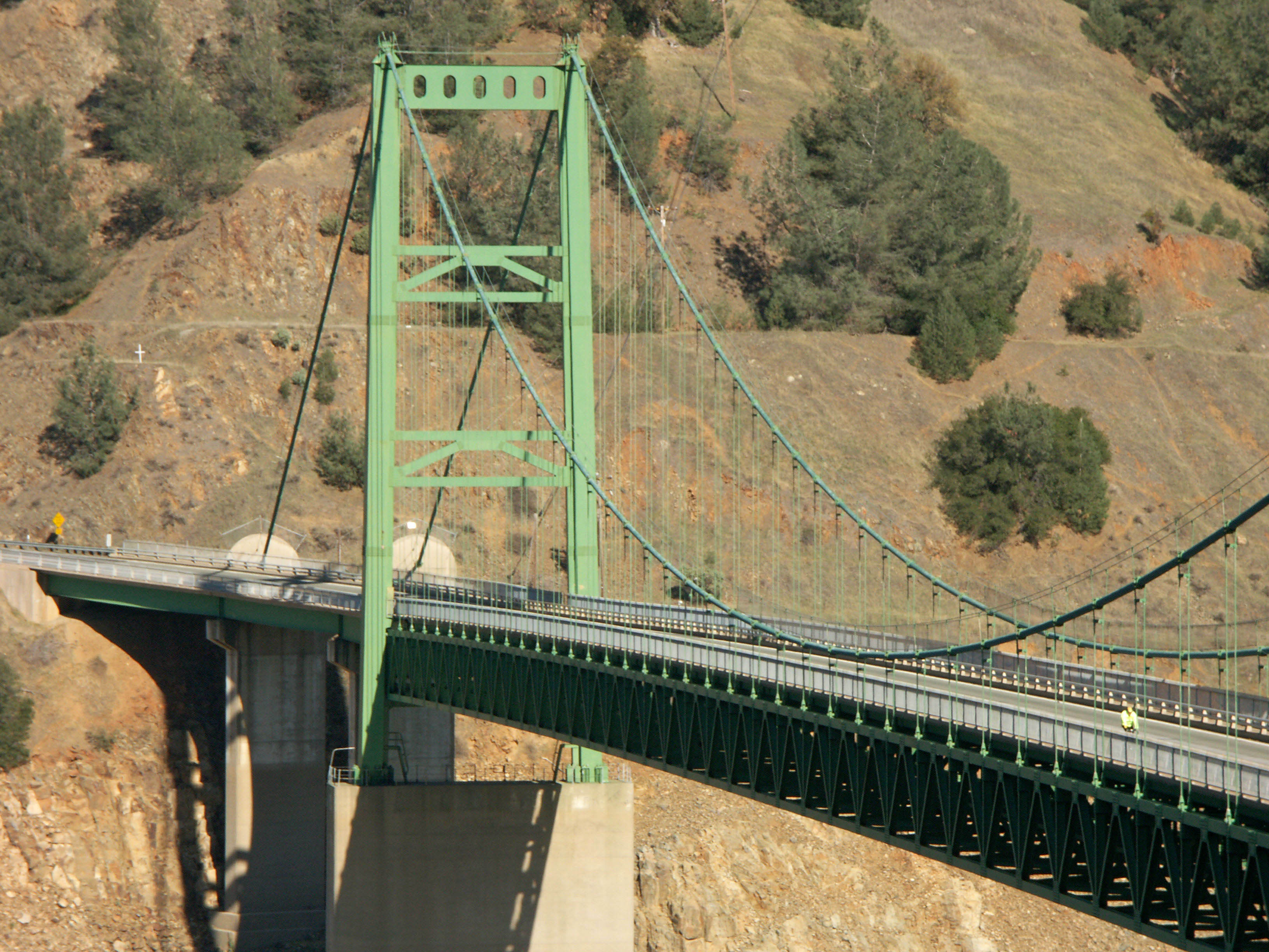
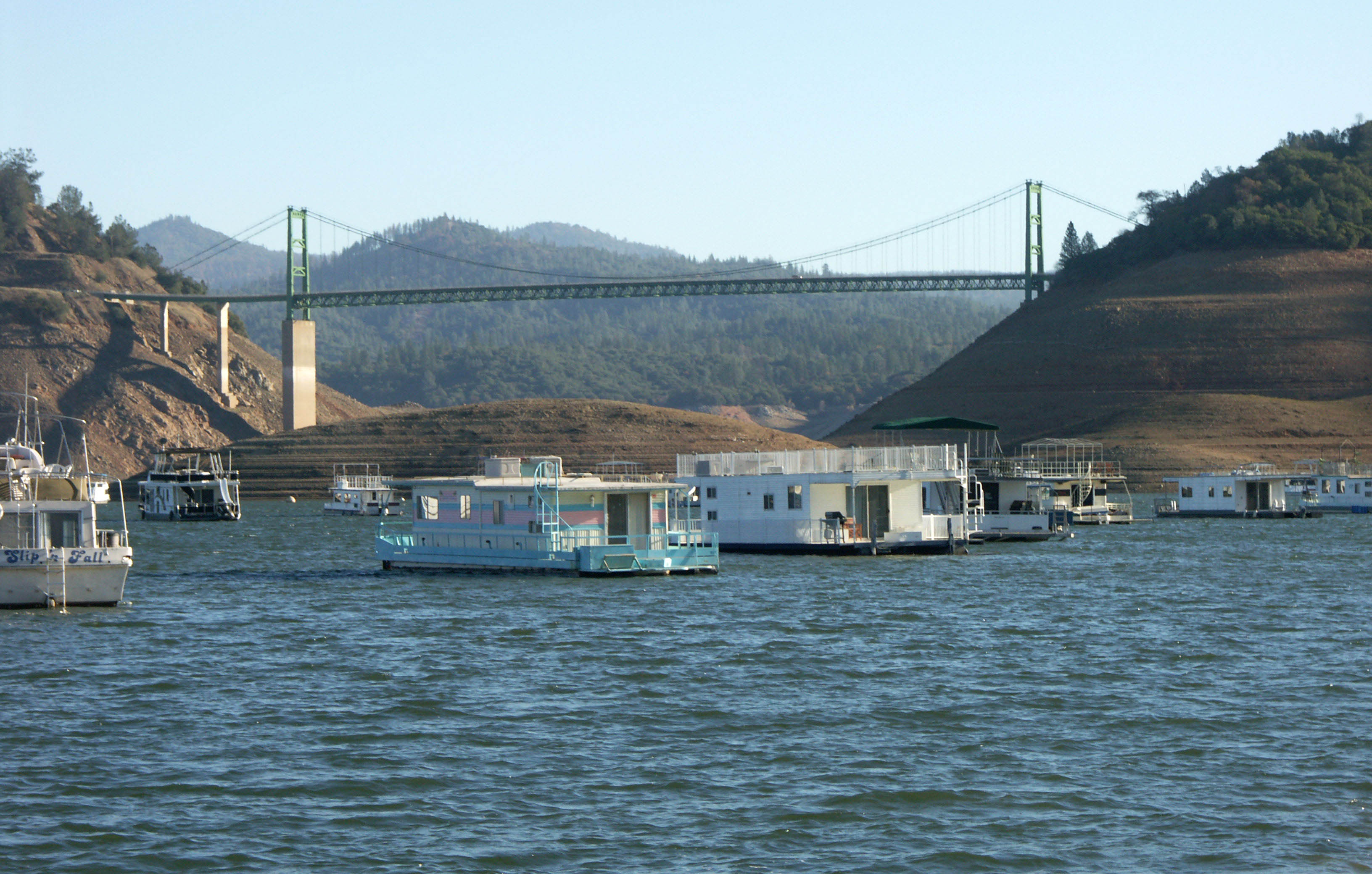
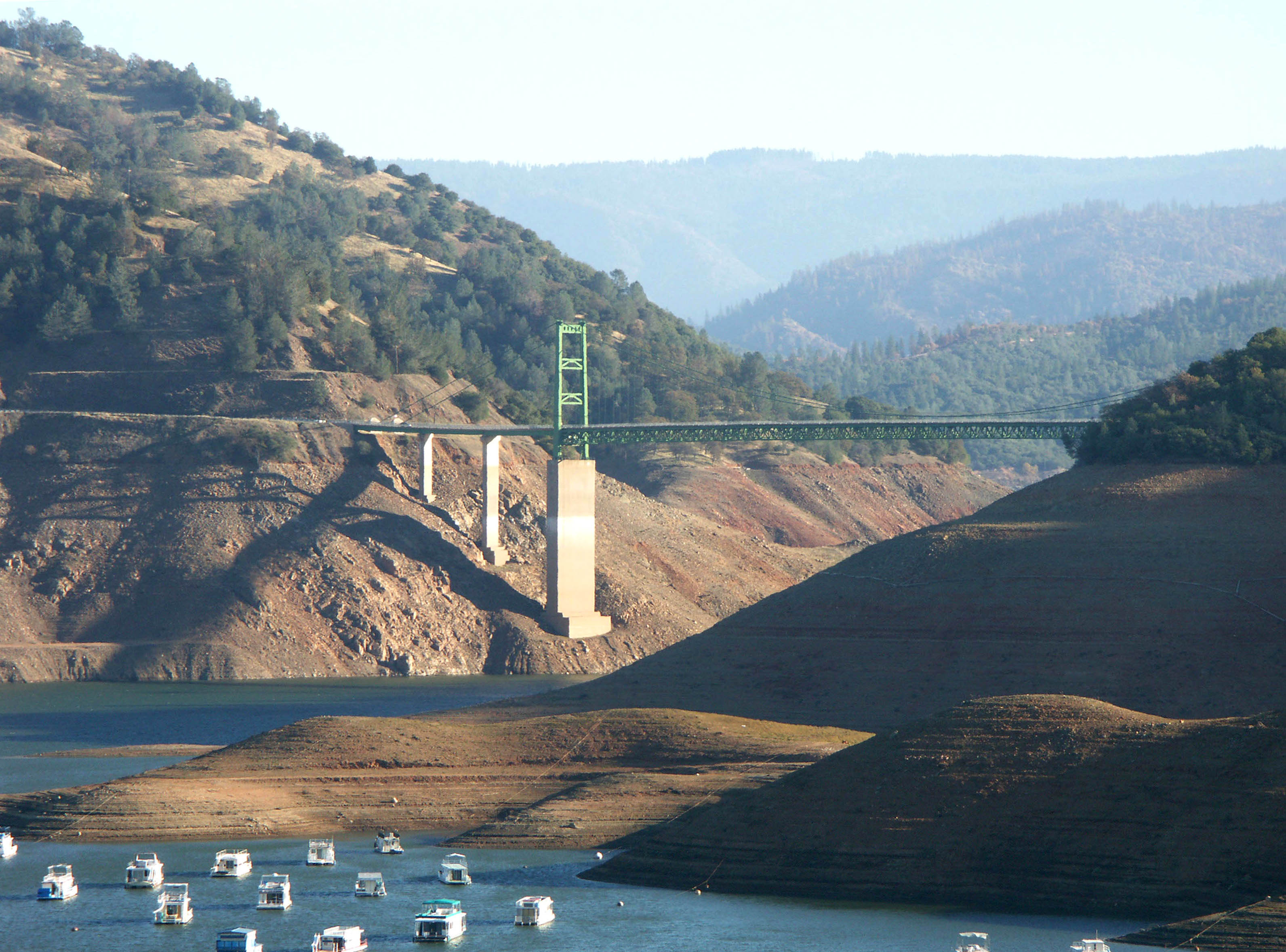
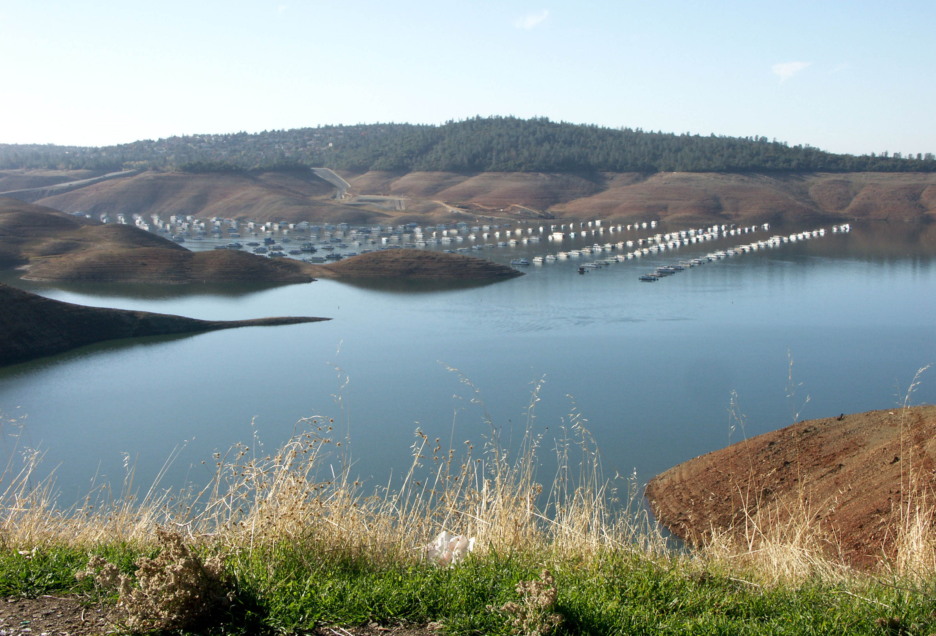
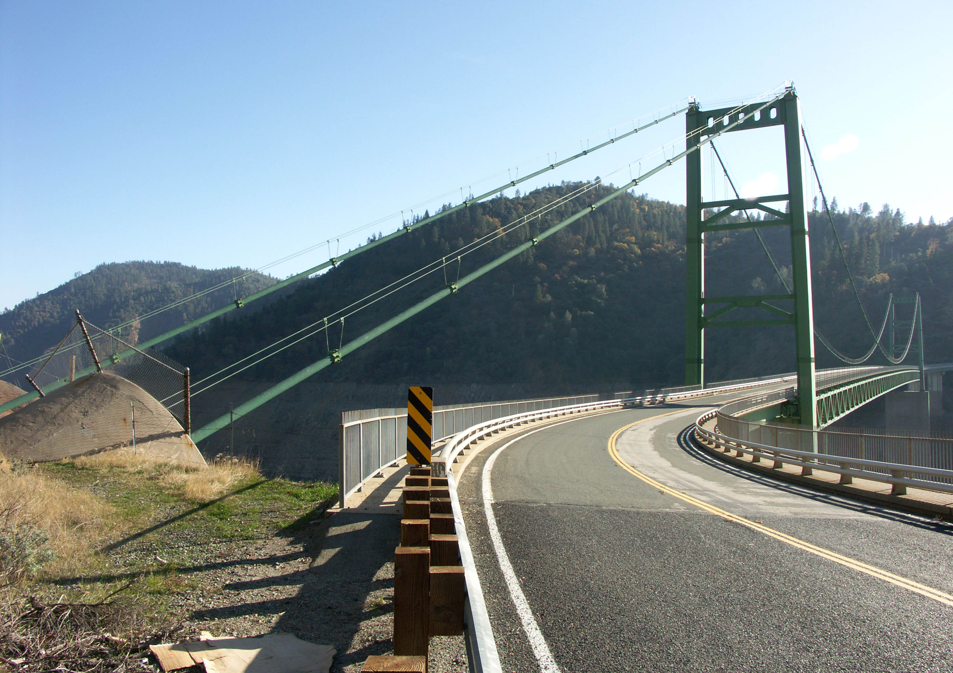
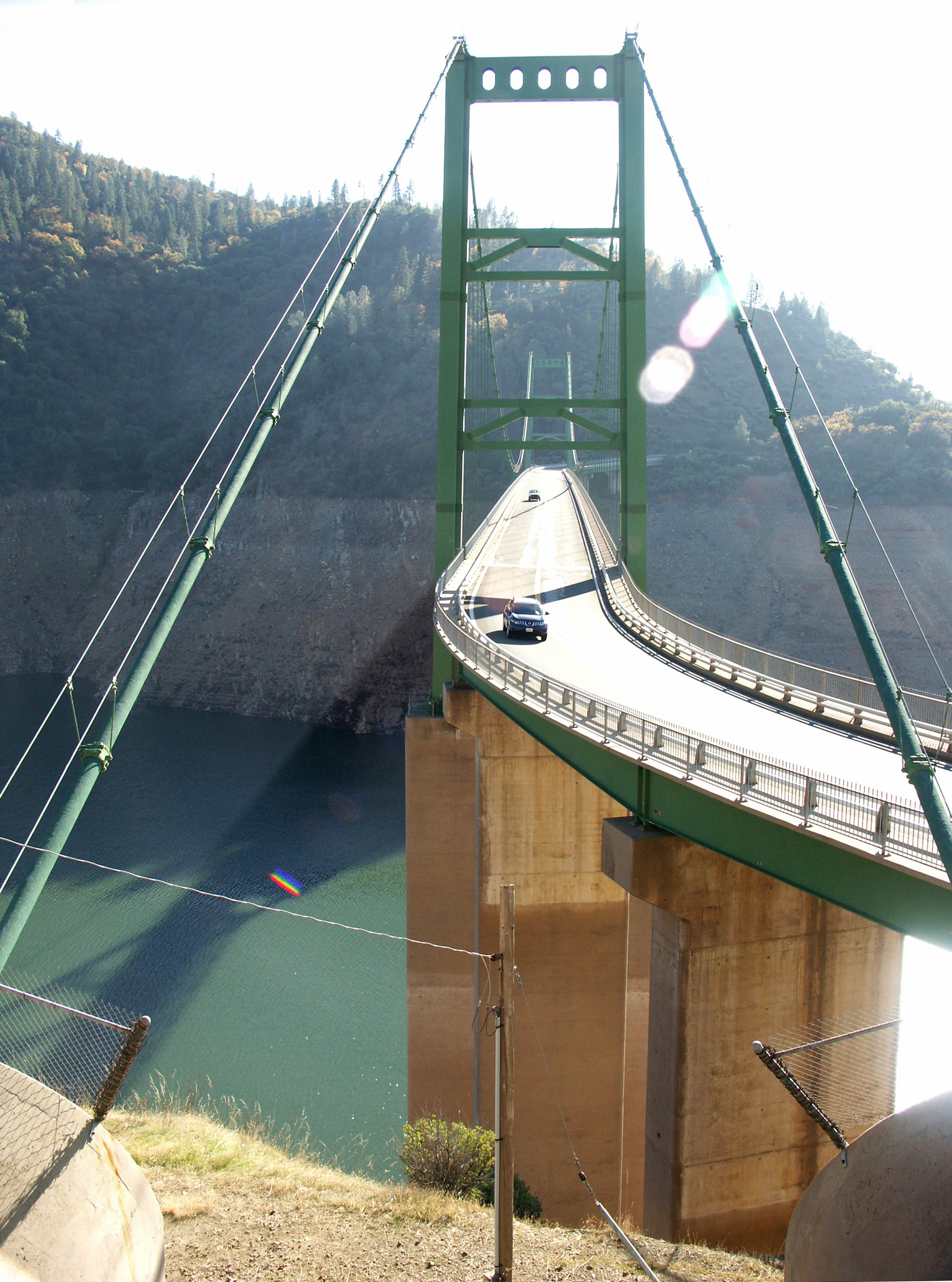
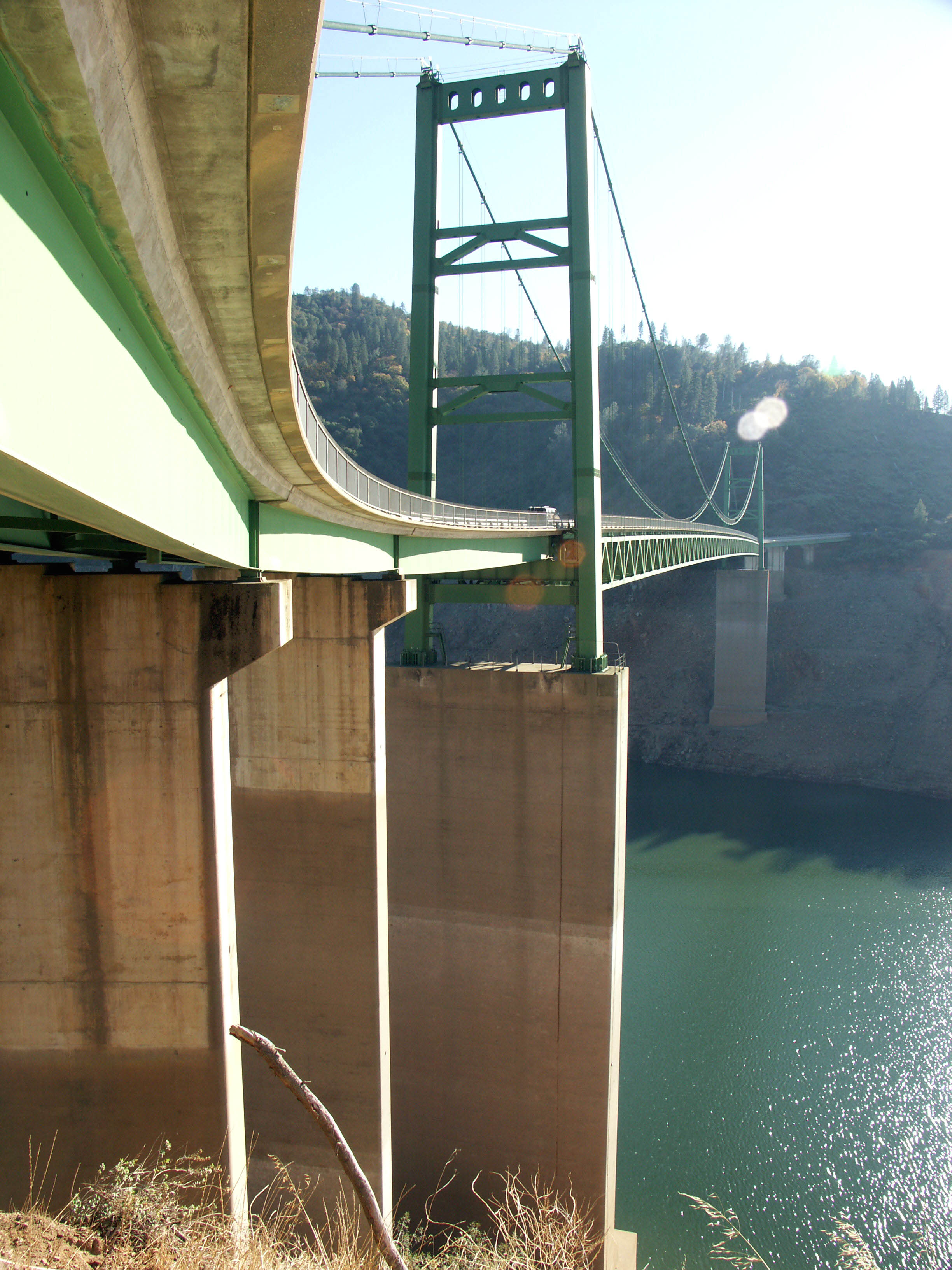
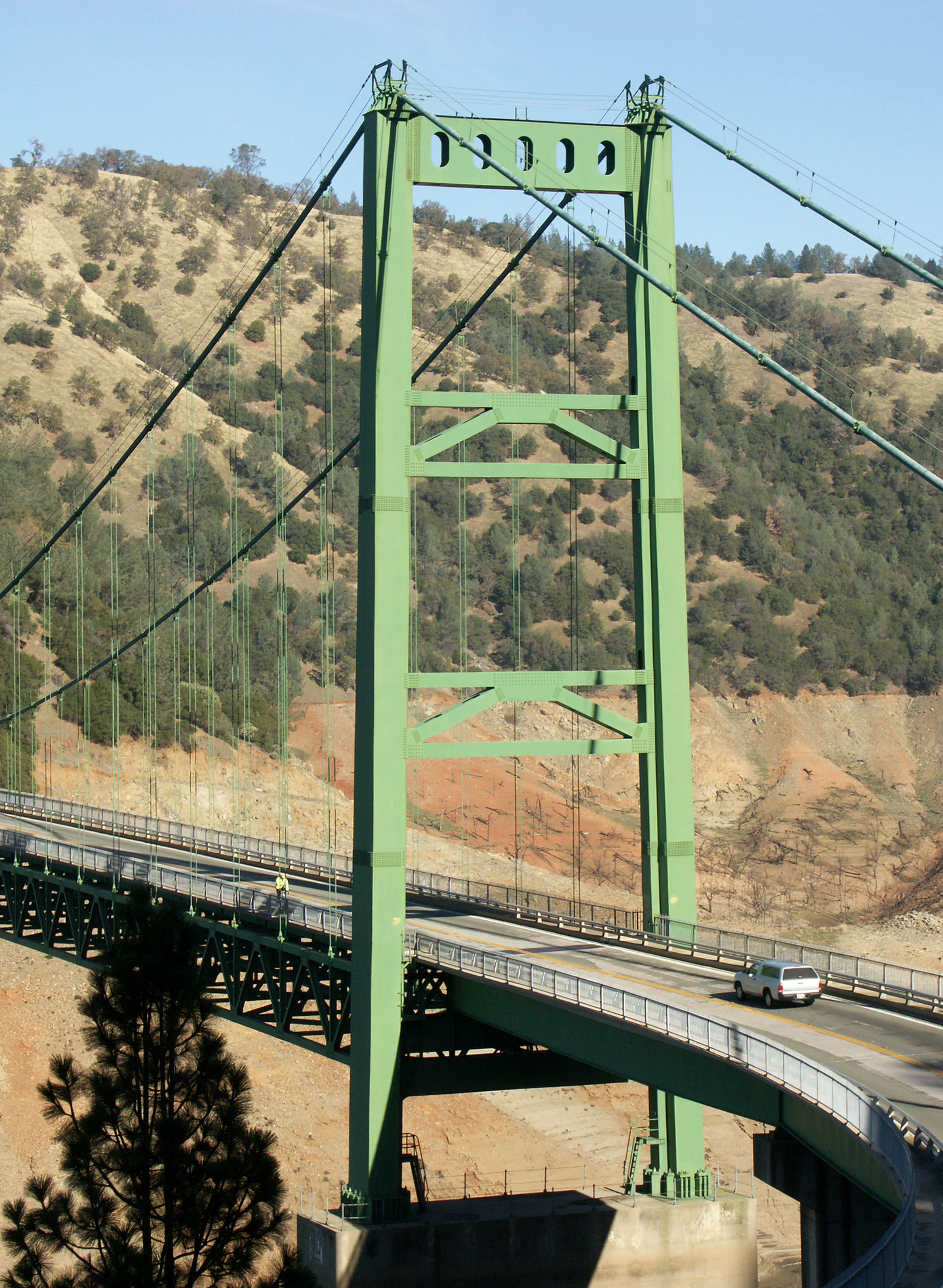
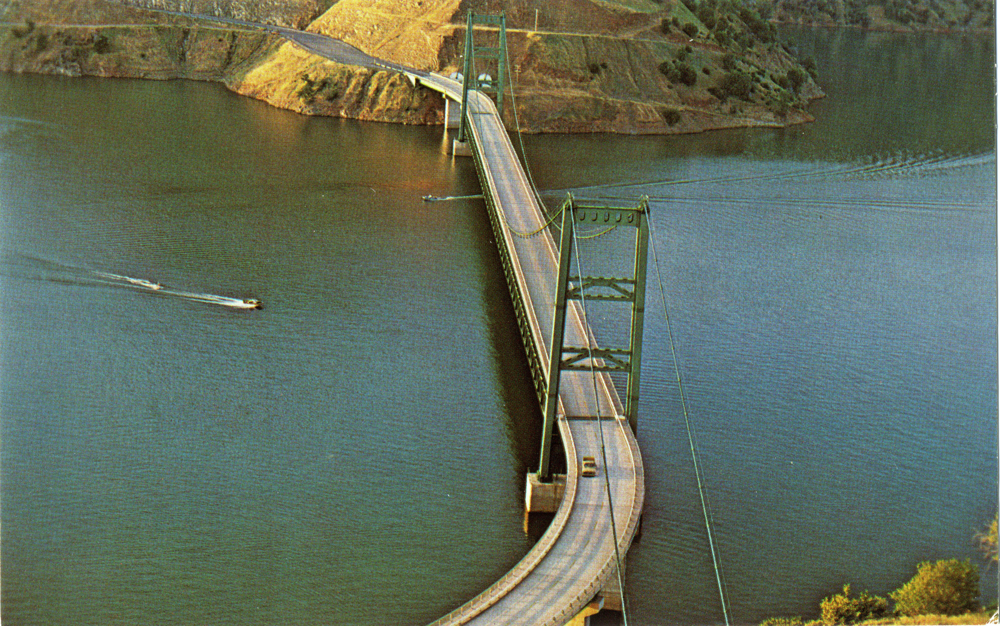
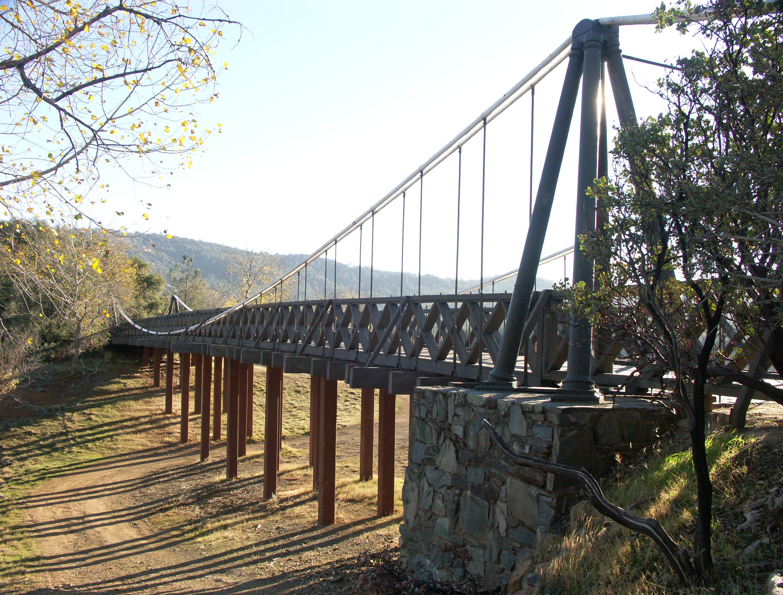
If you are lucky enough to visit the newer 1965 Bidwell suspension bridge during one of Northern California’s severe droughts, the treeless brown earth of the underwater landscape will reveal itself in a jarring contrast to the surrounding forest. The lowest lake levels were reached in 1992 and 2008. During these seasons, the deck of the bridge was approximately 300 feet (91 meters) above the water, revealing the full 350 foot (107 meter) height of the towers. The curving approaches on both ends of the bridge made it unnecessary to have suspended side spans - a unique design trait rarely seen on a major U.S. suspension bridge.
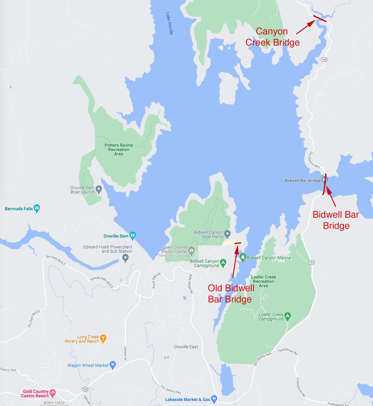
Bidwell Bar is just one of 4 high bridges that cross Lake Oroville. The other 3 include Enterprise Bridge, the West Branch of the Feather River Highway and Railroad bridges and the Canyon Creek bridge.
Image by Eric Sakowski / HighestBridges.com
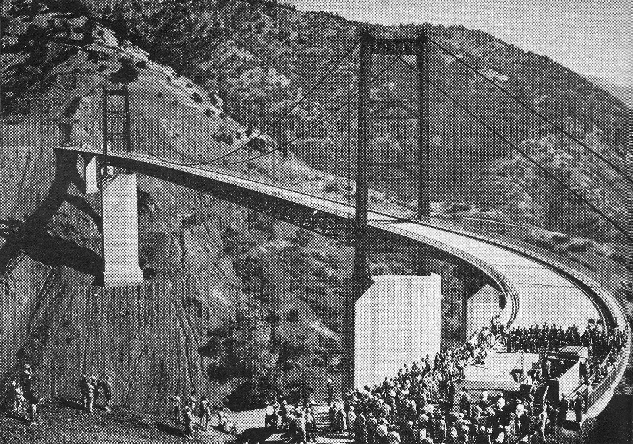
Bidwell Bar bridge opening ceremonies photo from the January 1966 issue of Civil Engineering magazine.
The above and below views show the bridge when the reservoir is nearly full and during a 2008 drought when the water was about 300 feet (91 meters) below the deck. Image by Eric Sakowski / HighestBridges.com
Image by Eric Sakowski / HighestBridges.com
Image by Eric Sakowski / HighestBridges.com
Image by Eric Sakowski / HighestBridges.com
Image by Eric Sakowski / HighestBridges.com
Image by Eric Sakowski / HighestBridges.com
Image by Eric Sakowski / HighestBridges.com
Image by Eric Sakowski / HighestBridges.com
Image by Eric Sakowski / HighestBridges.com
Image by Eric Sakowski / HighestBridges.com
Image by Eric Sakowski / HighestBridges.com
Image by Eric Sakowski / HighestBridges.com
Image by Eric Sakowski / HighestBridges.com
Image by Eric Sakowski / HighestBridges.com
Image by Eric Sakowski / HighestBridges.com
Image by Eric Sakowski / HighestBridges.com
Image by Eric Sakowski / HighestBridges.com
Oroville Dam crest. Image by Eric Sakowski / HighestBridges.com
Bidwell Bar Bridge postcard.
Postcard image of the first 1856 Bidwell Bar suspension bridge at its original location across the Middle Fork of the Feather River.
Image by Eric Sakowski / HighestBridges.com
Image by Eric Sakowski / HighestBridges.com
Image by Eric Sakowski / HighestBridges.com
Image by Eric Sakowski / HighestBridges.com
Image by Eric Sakowski / HighestBridges.com
Image by Eric Sakowski / HighestBridges.com
Image by Eric Sakowski / HighestBridges.com
Image by Eric Sakowski / HighestBridges.com
The Hansell's concrete arch bridge crossed the Feather River where the base of the giant Oroville Dam is now located requiring its removal in 1965/66.
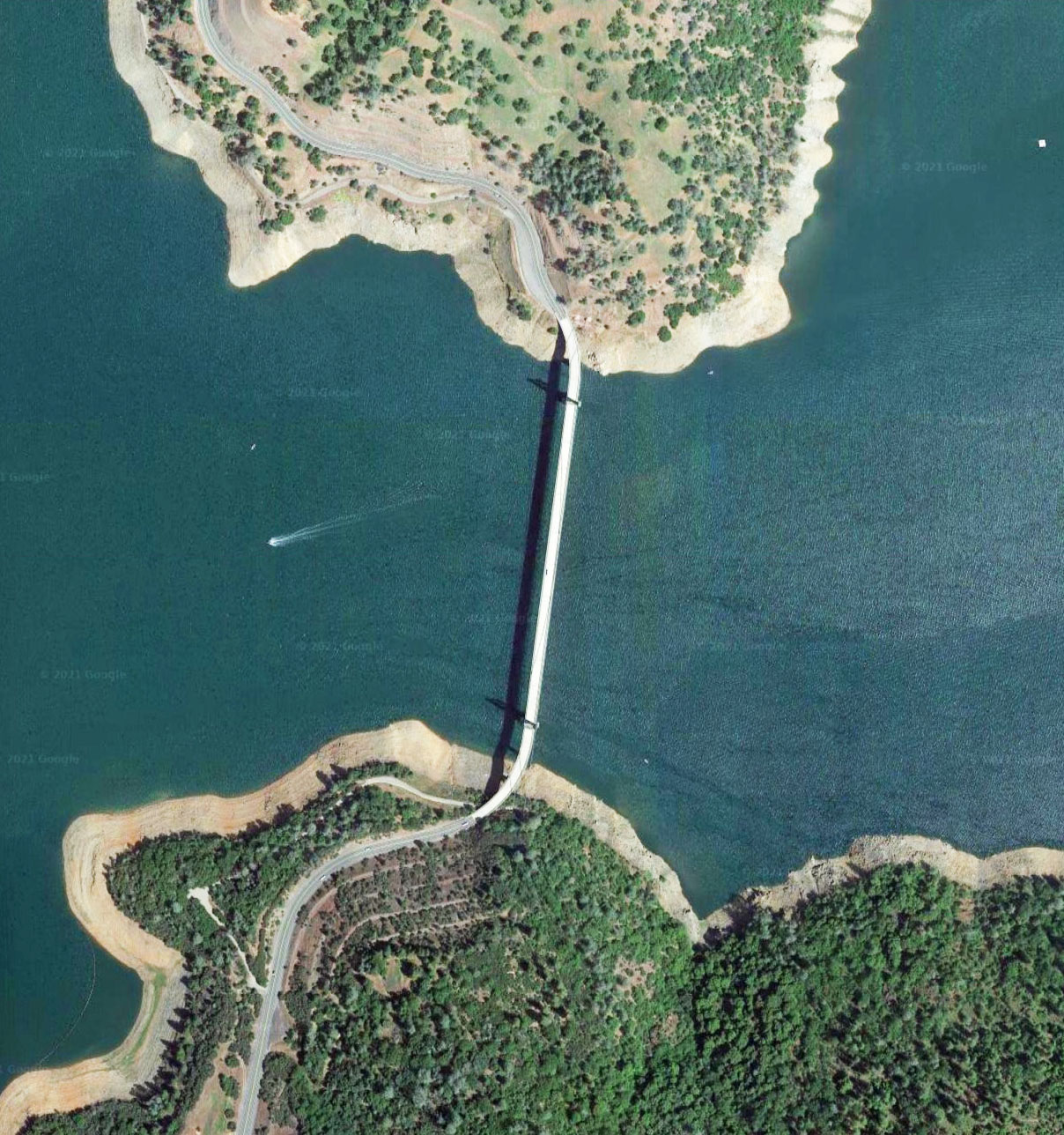
Bidwell Bar Bridge satellite image.
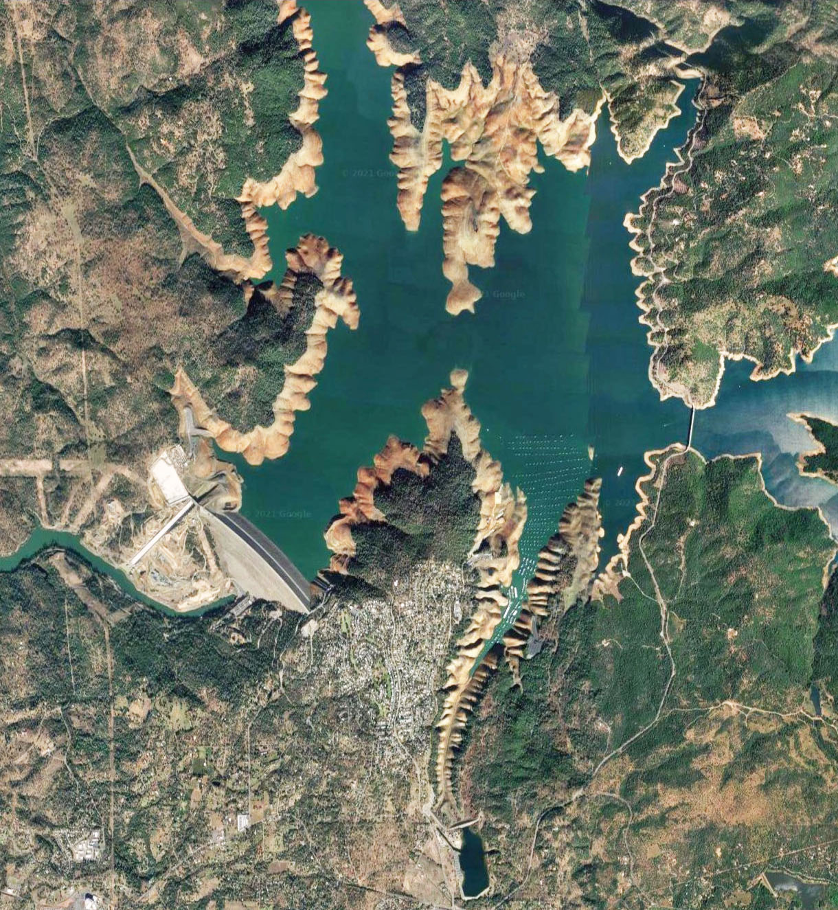
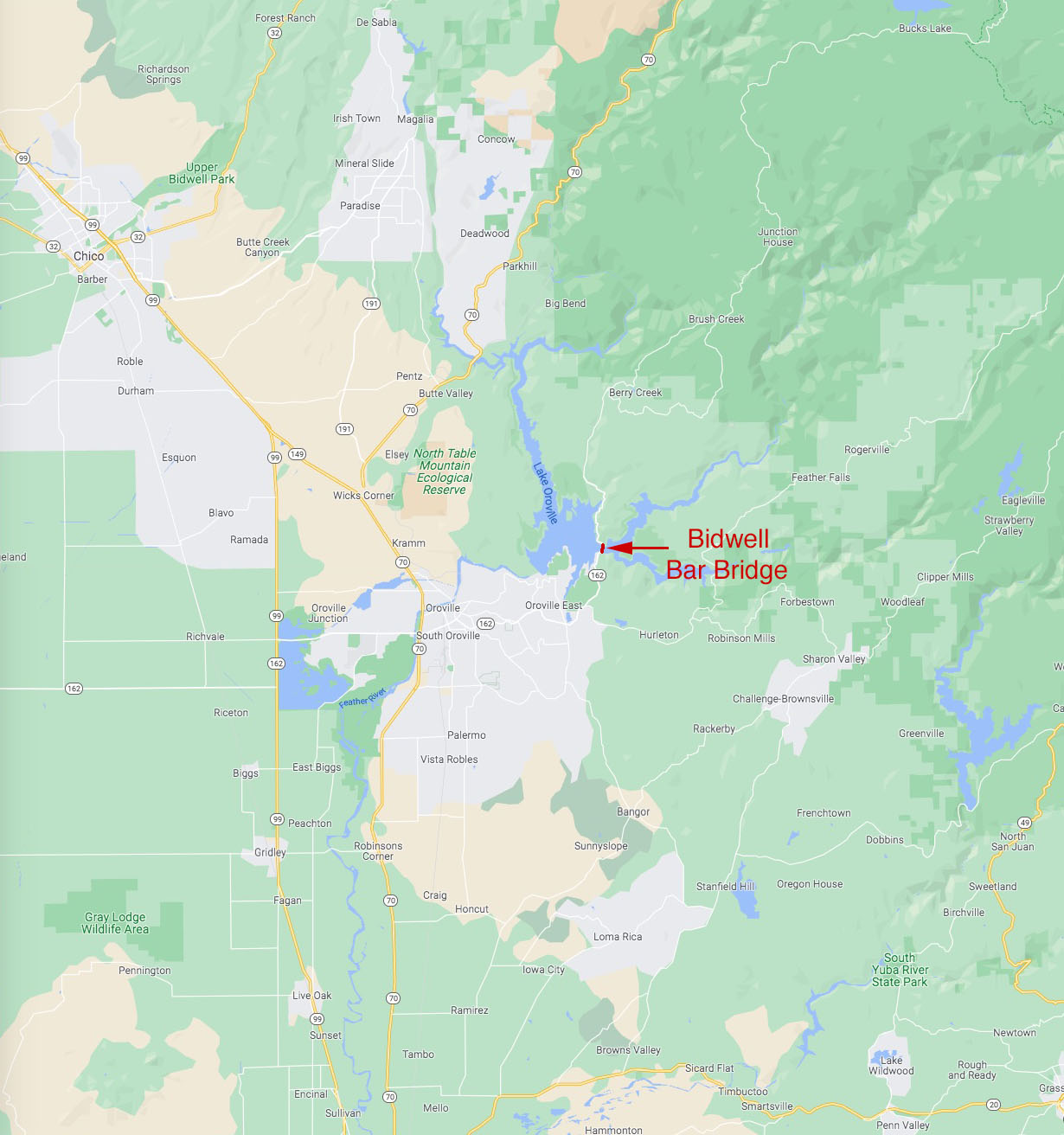
Bidwell Bar Bridge location map.
Satellite image of the original Bidwell Bar bridge and toll house at the Kelly Ridge park and boat ramp.
