Hou'er Sinkhole Scenic Area Footbridge
Hou'er Sinkhole Scenic Area Footbridge
开阳猴耳天坑风景区接桥
Kaiyang, Guizhou, China
(246) feet high / (75) meters high
(279) foot span / (85) meter span
2019
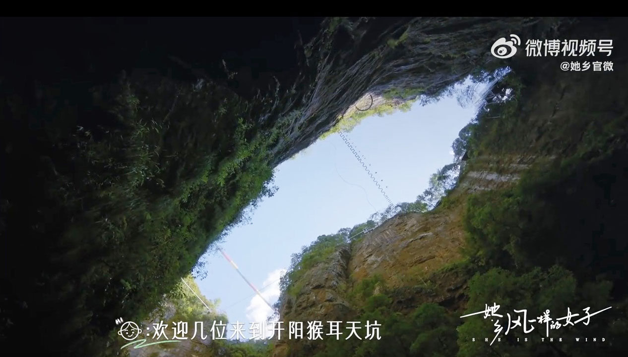
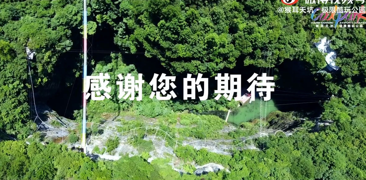
A unique tourist site, the Hou'er Sinkhole Scenic Area is an enclosed Tiankeng which is a natural depression where an underground river traverses across the bottom of a gorge between two underground cave tunnel openings. China has the deepest and greatest number of Tiankeng caves in the world with some reaching a depth of 500 meters.
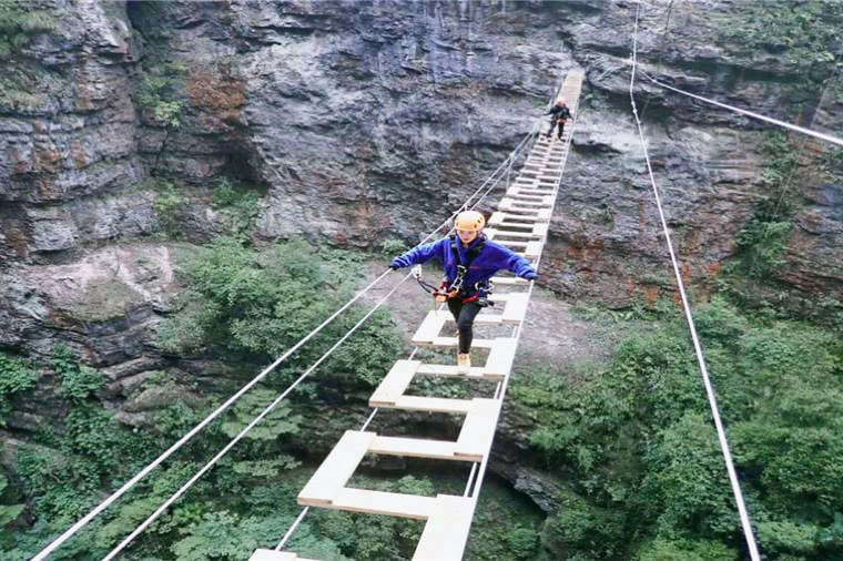
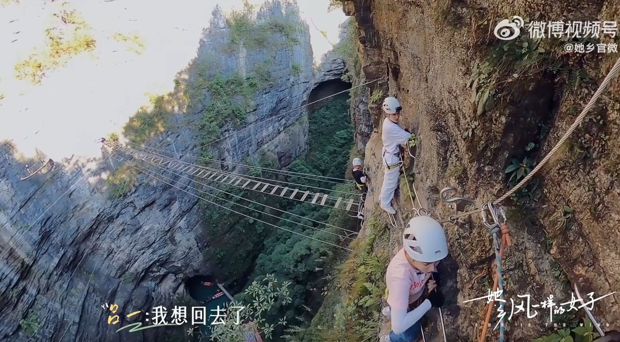
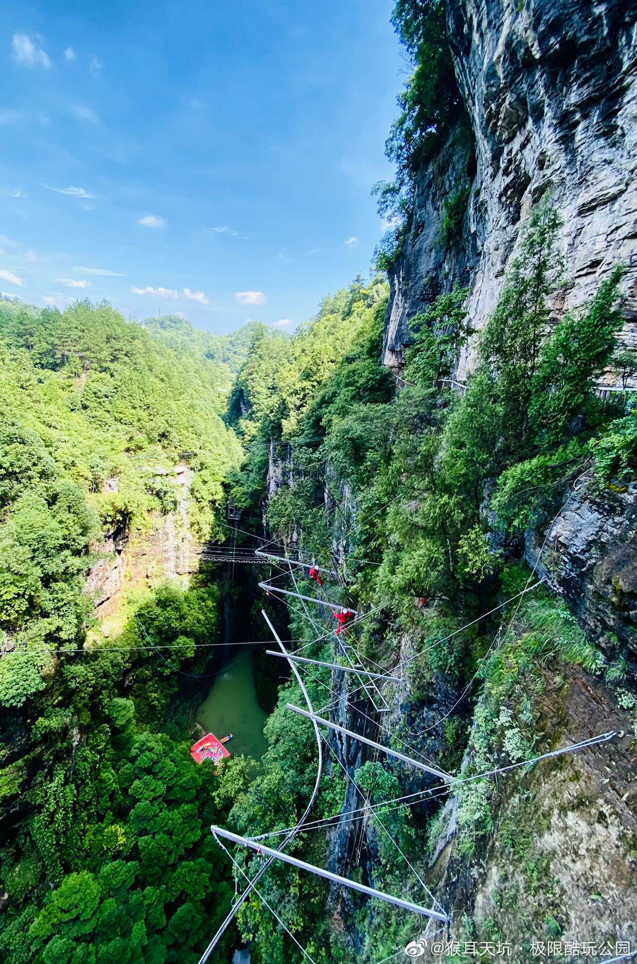
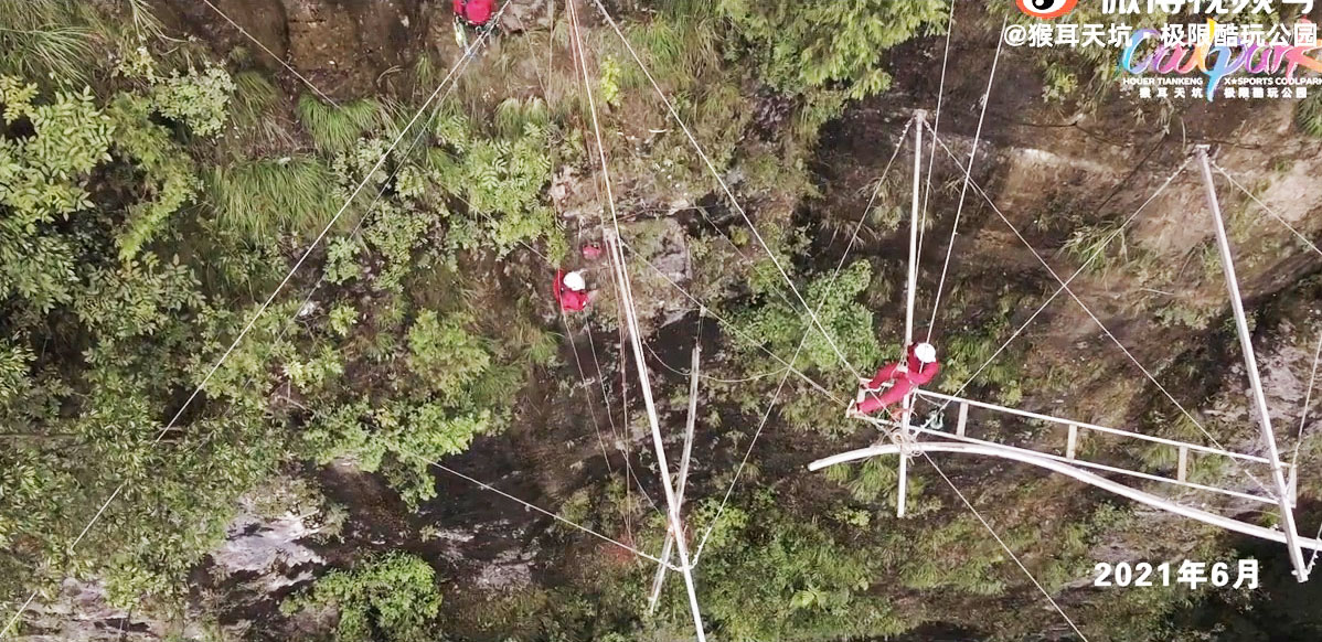
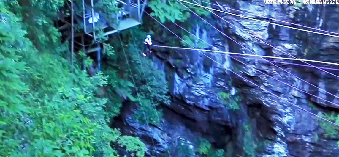
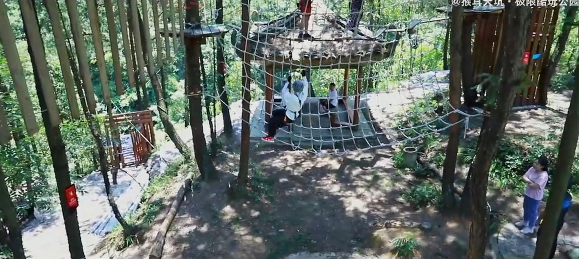
Unlike most gorge scenic areas that appeal to tourists, the Hou'er Sinkhole area is geared towards younger guests who wear climbing gear that allows them to walk across open plank footbridges as well as dangling from a steel rail that hangs off the edge of the cliff. The Coolpark also has a swing jump that drops you down into the canyon.
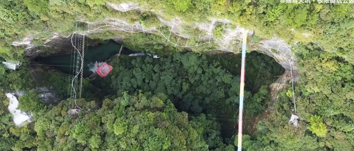
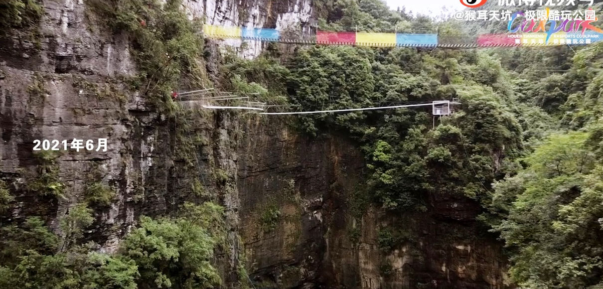
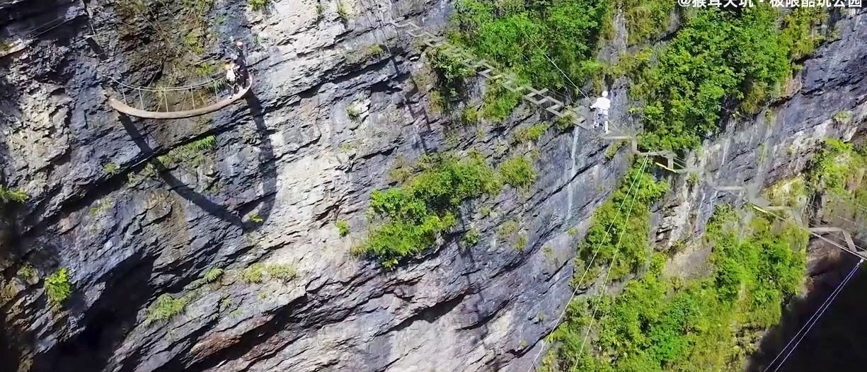
The higher footbridge looks to have a span of approximately 85 meters while the lower footbridges seem to have spans of around 50 meters.
The open plank bridges are on the left with the more conventional "colorful" footbridge on the right.
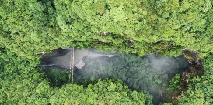
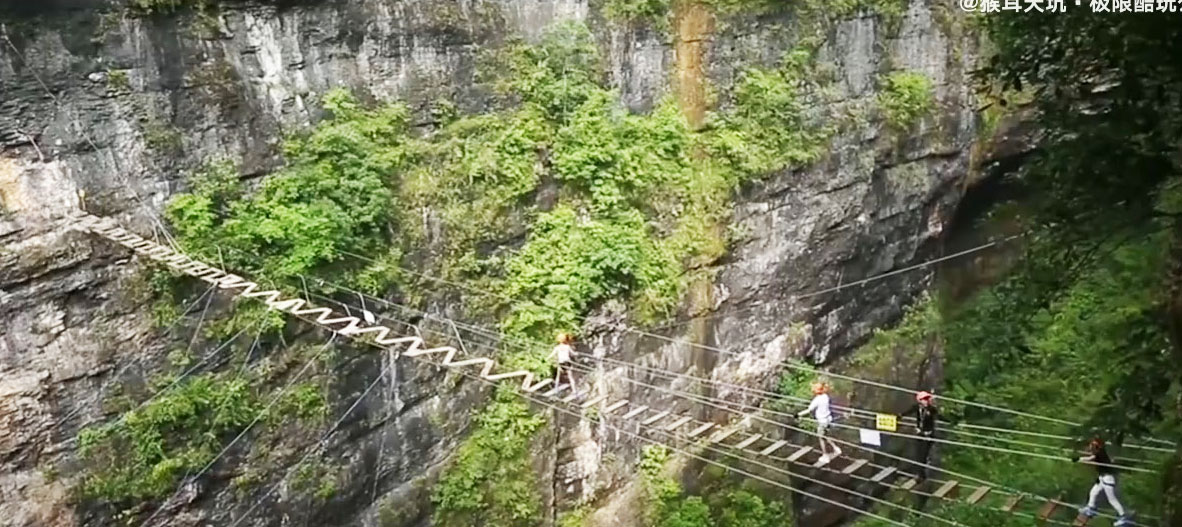
A view of the Hou'er Tiankeng when there were only the plank footbridges.
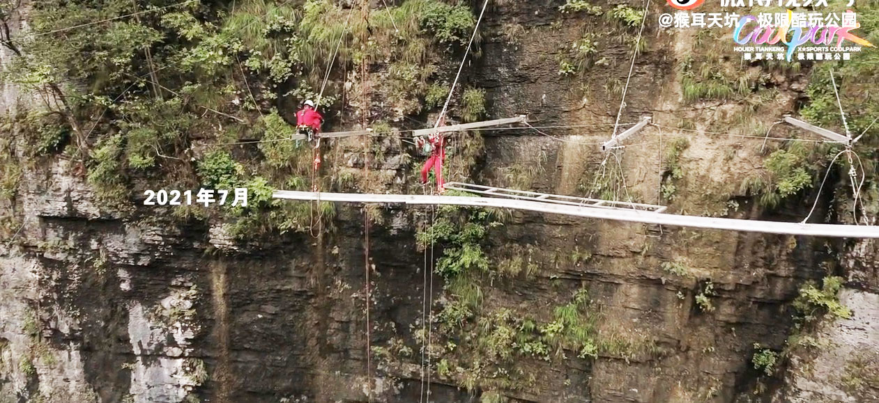
Workers install the suspended cliff rail.
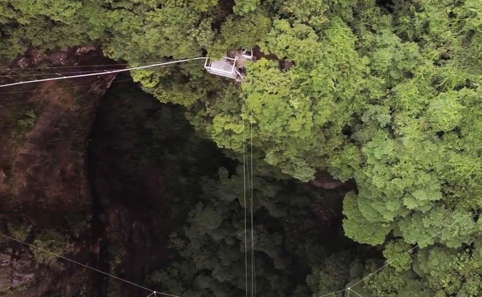
The swing drop into the canyon.
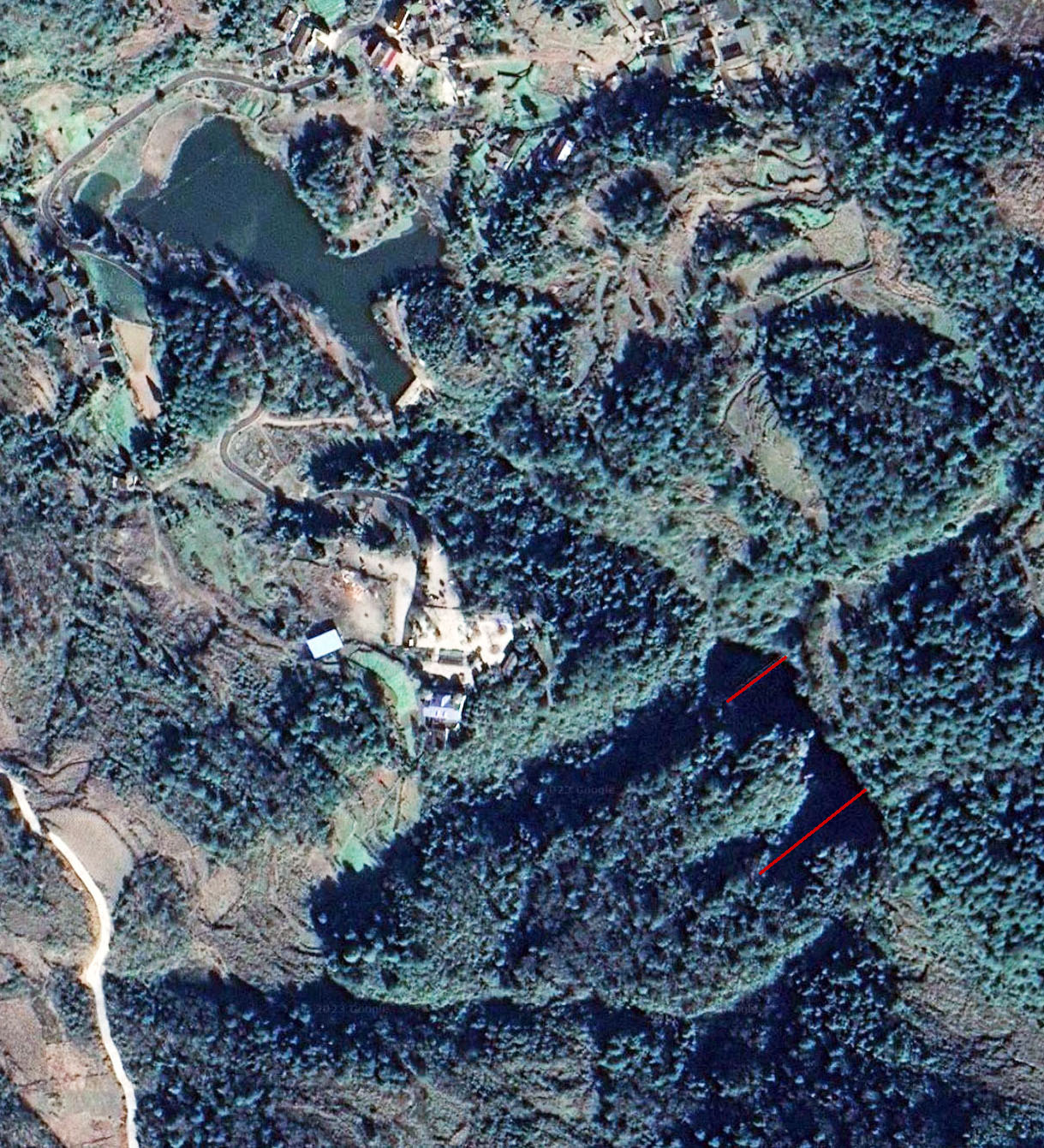
Hou'er Sinkhole Scenic Area Footbridge satellite image.
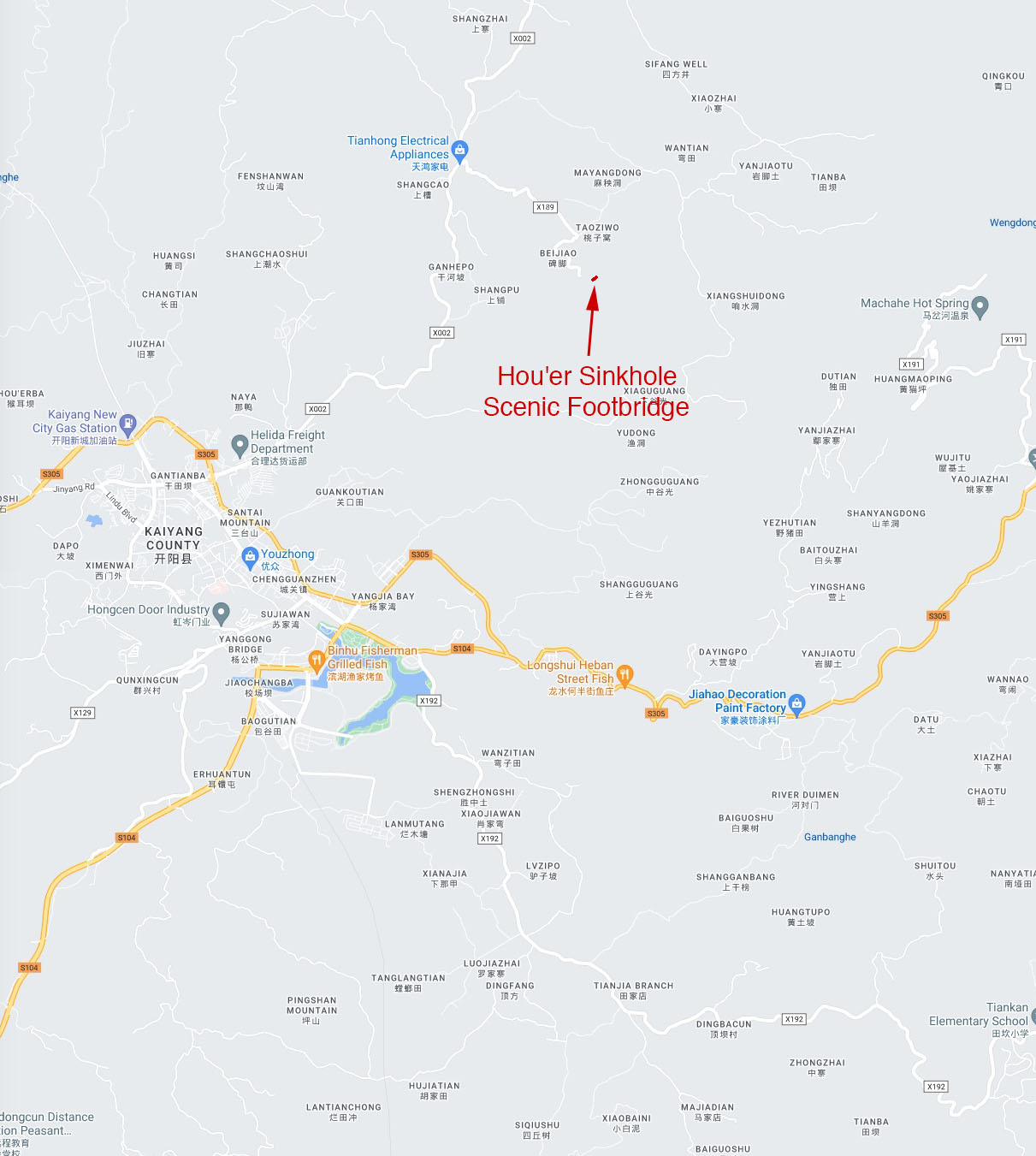
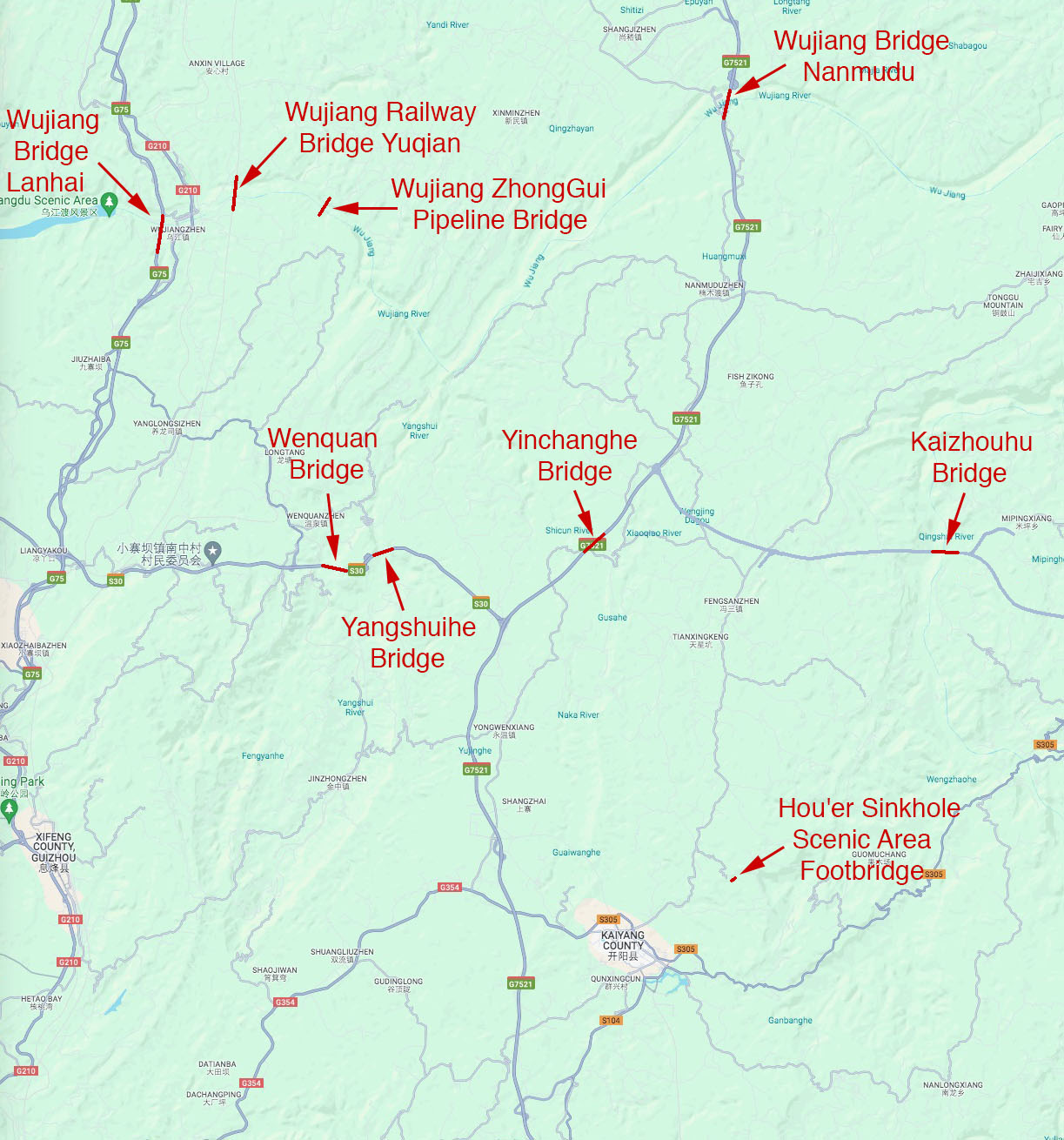
Hou'er Sinkhole Scenic Area Footbridge location map.
