Xiaohe Bridge
Xiaohe Bridge
小河特大桥
Enshi, Hubei, China
682 feet high / 208 meters high
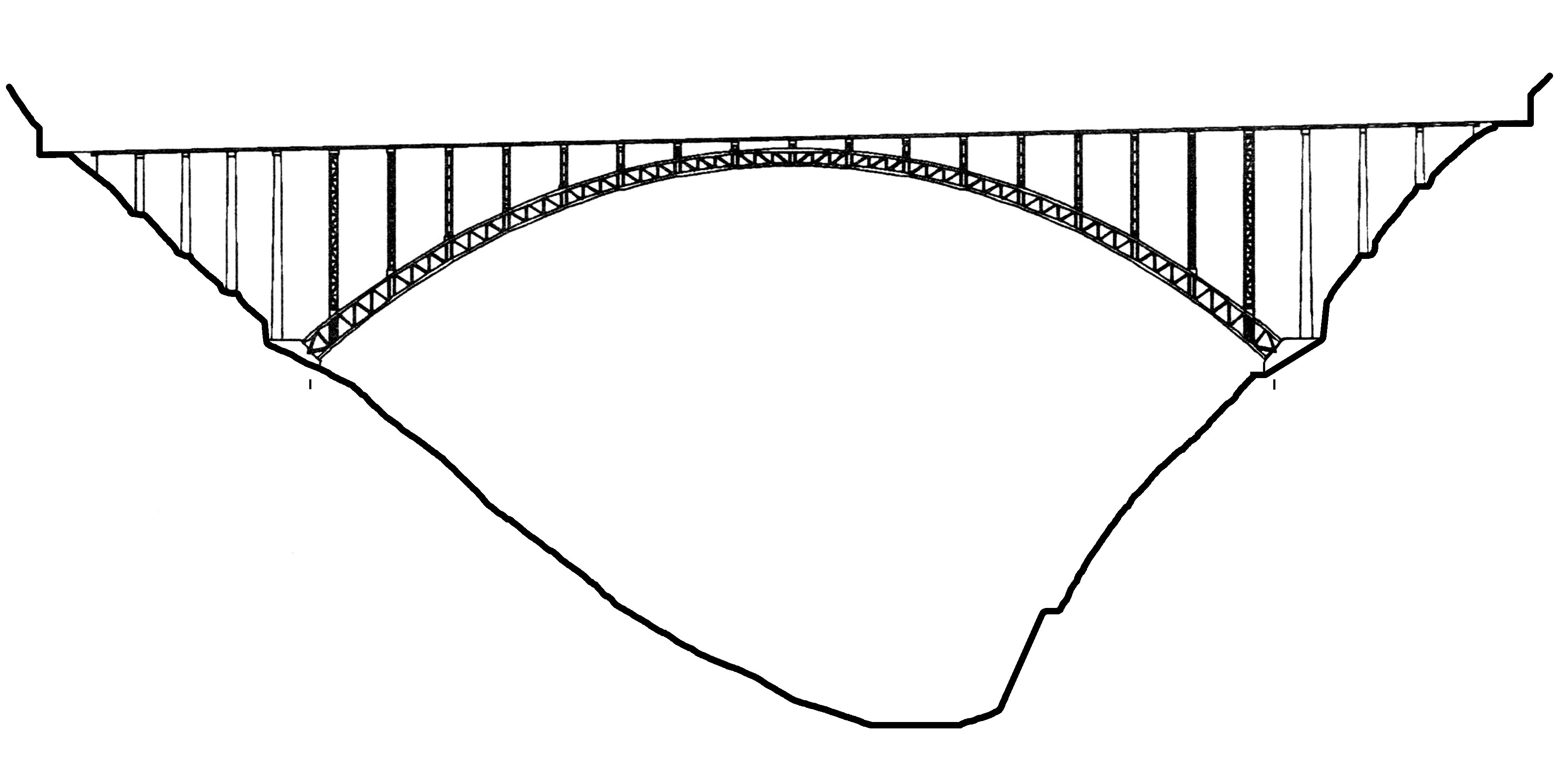
1,109 foot span / 338 meter span
2010
Image by Georges.
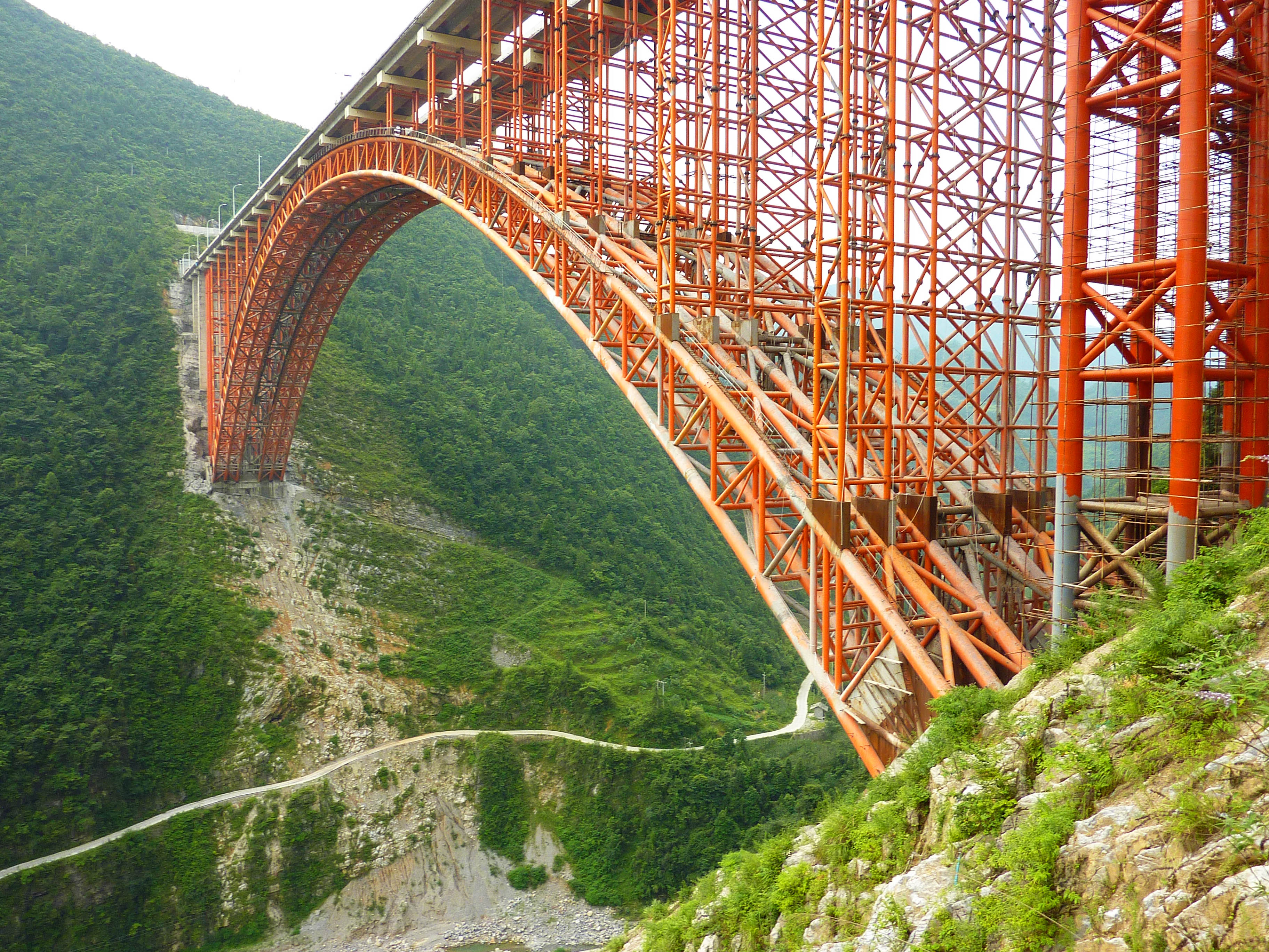
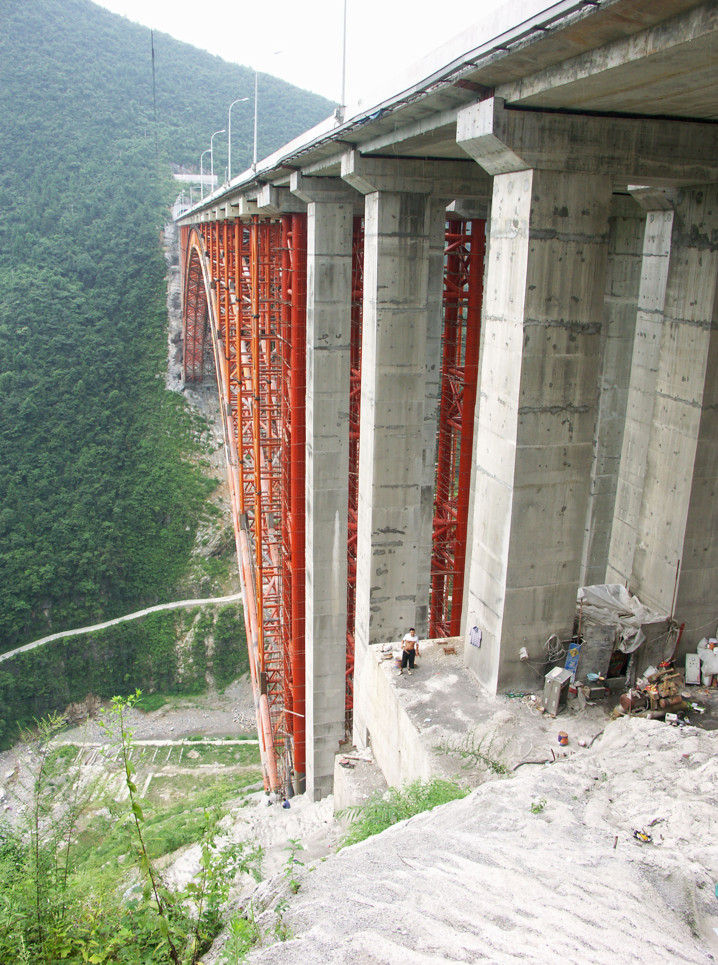
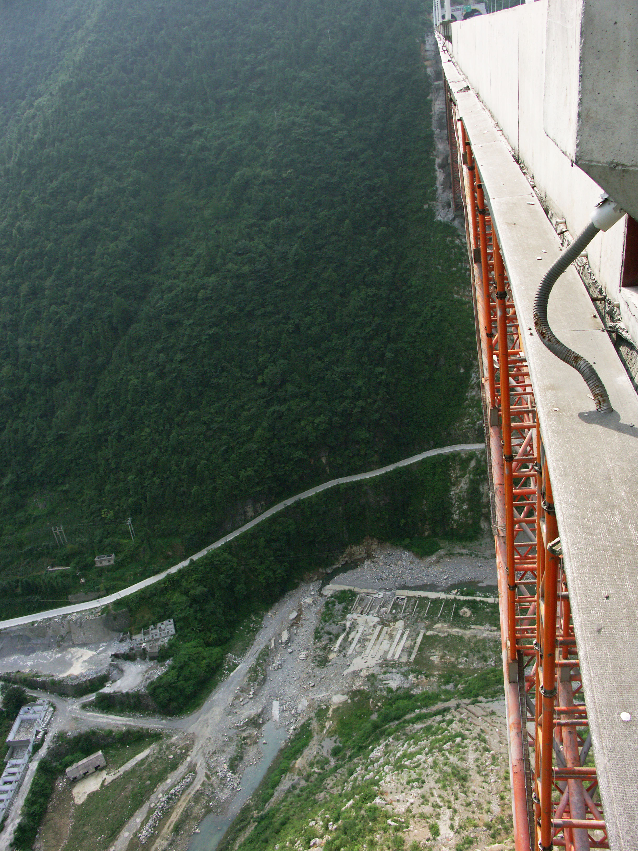
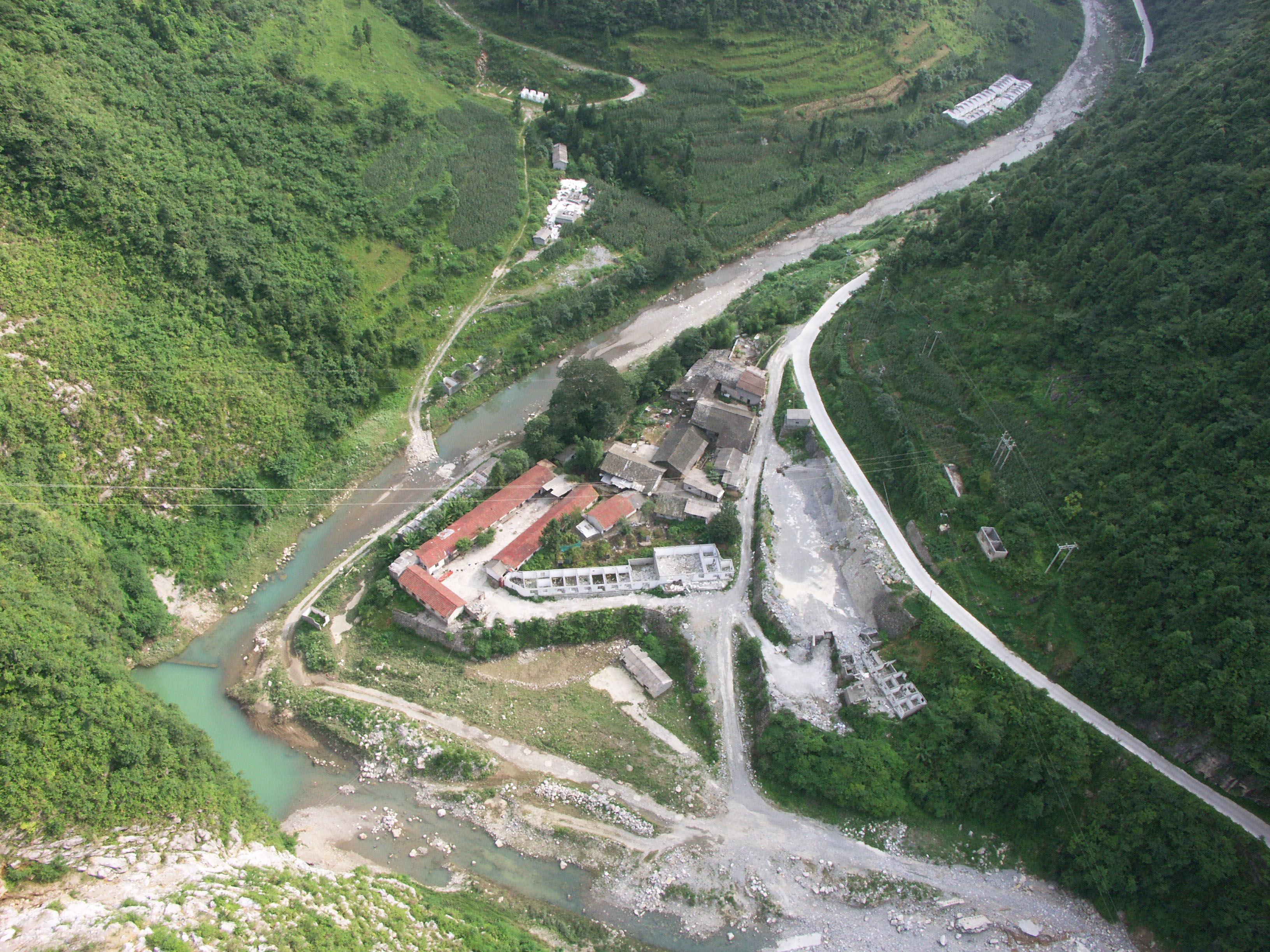
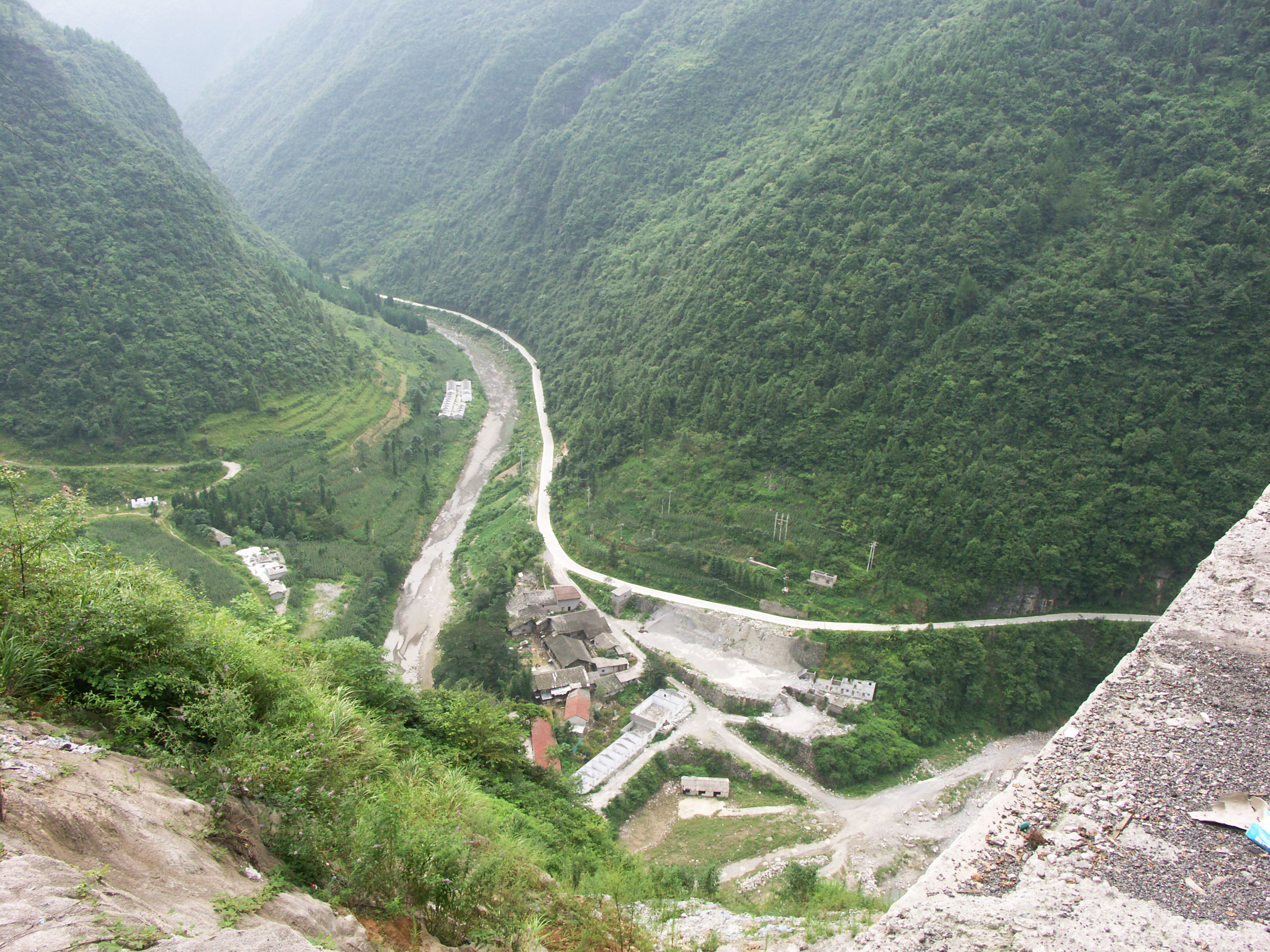
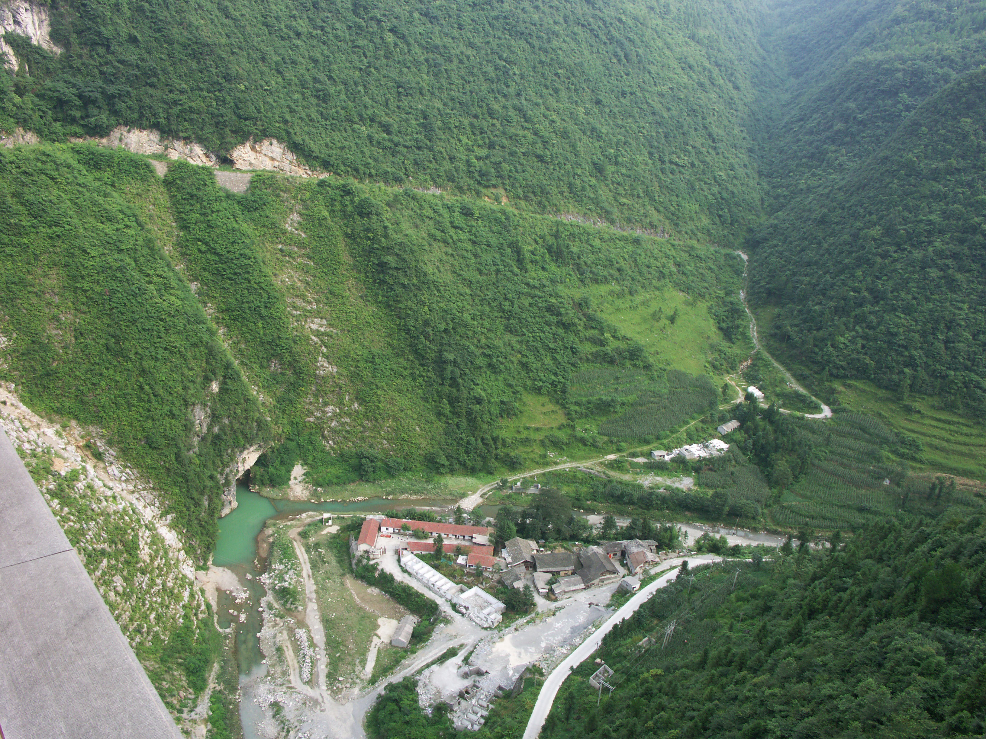
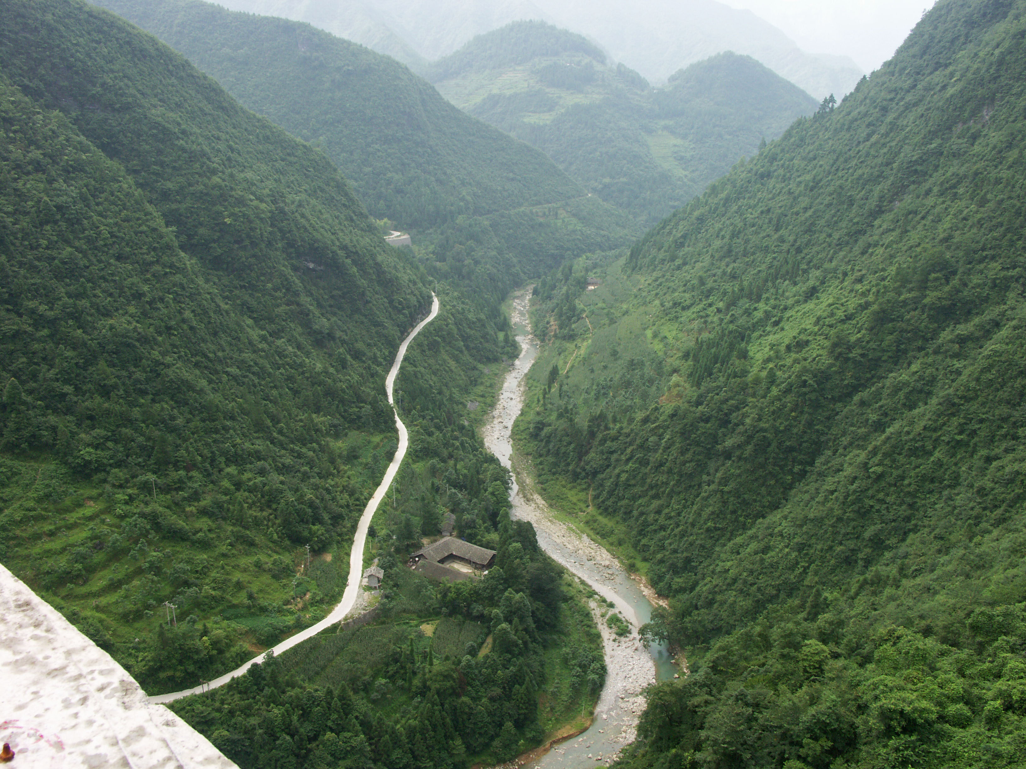
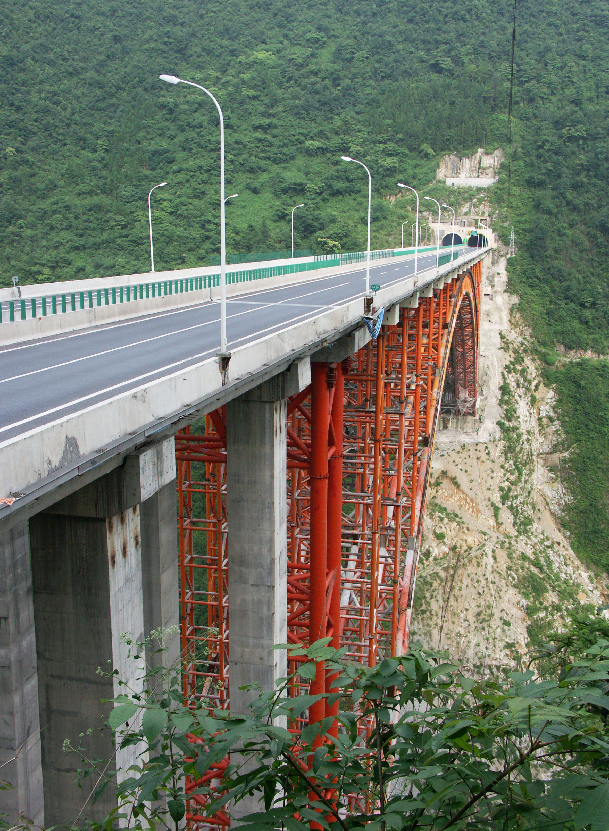
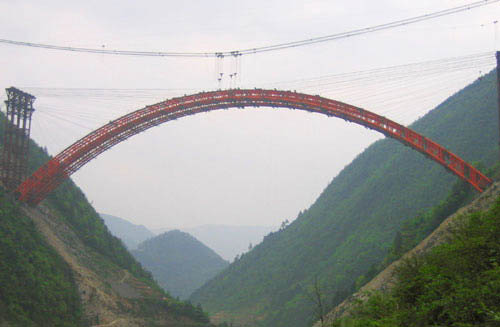
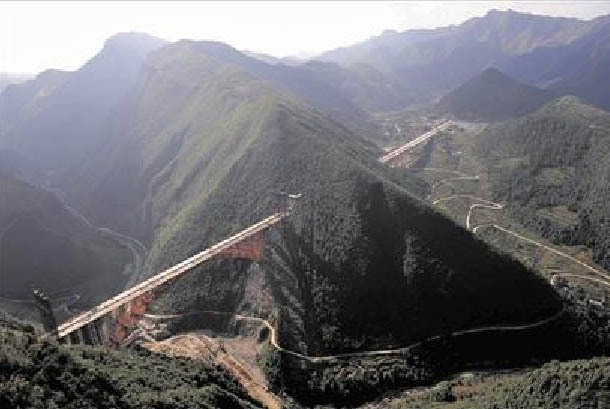
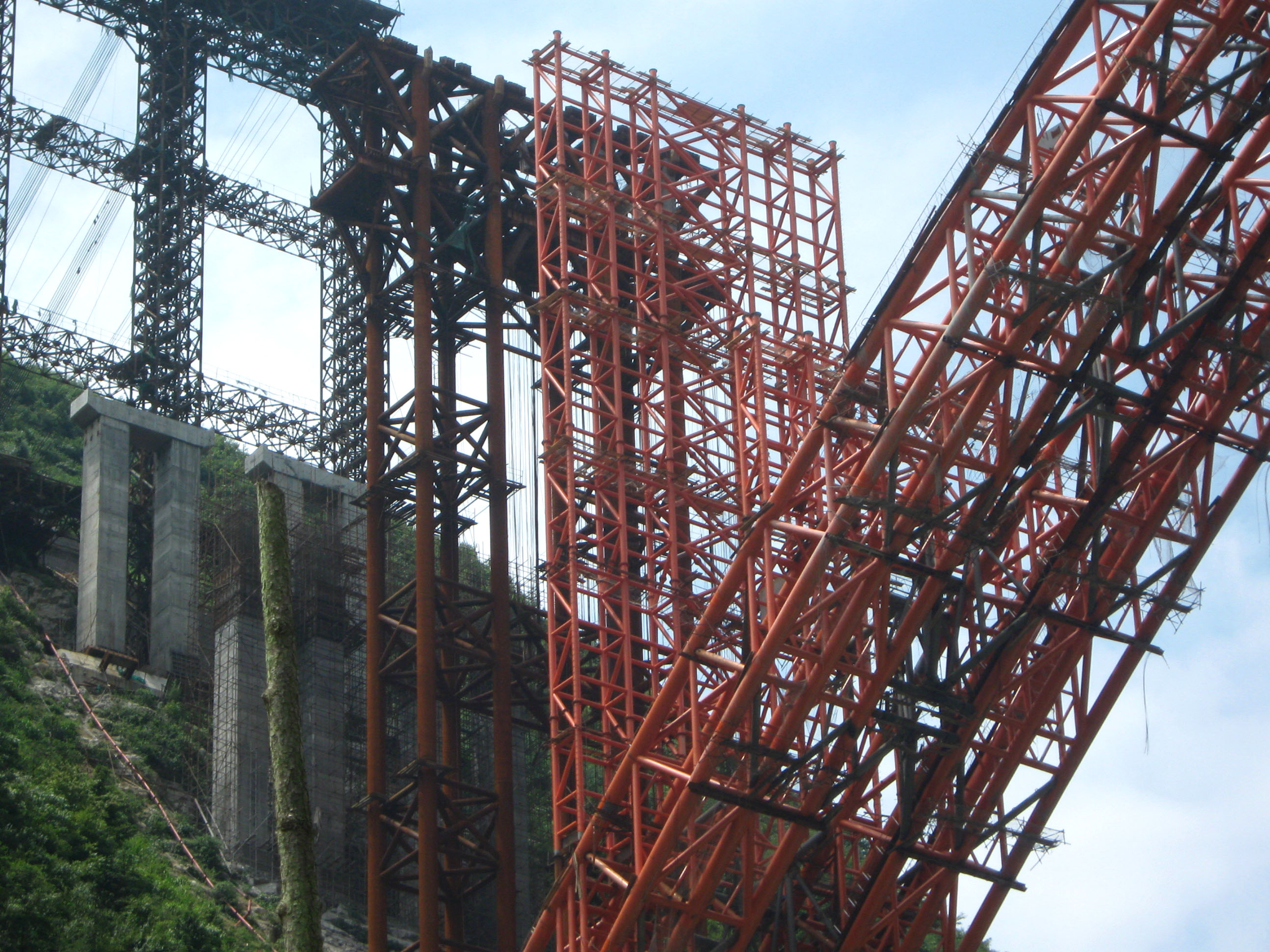
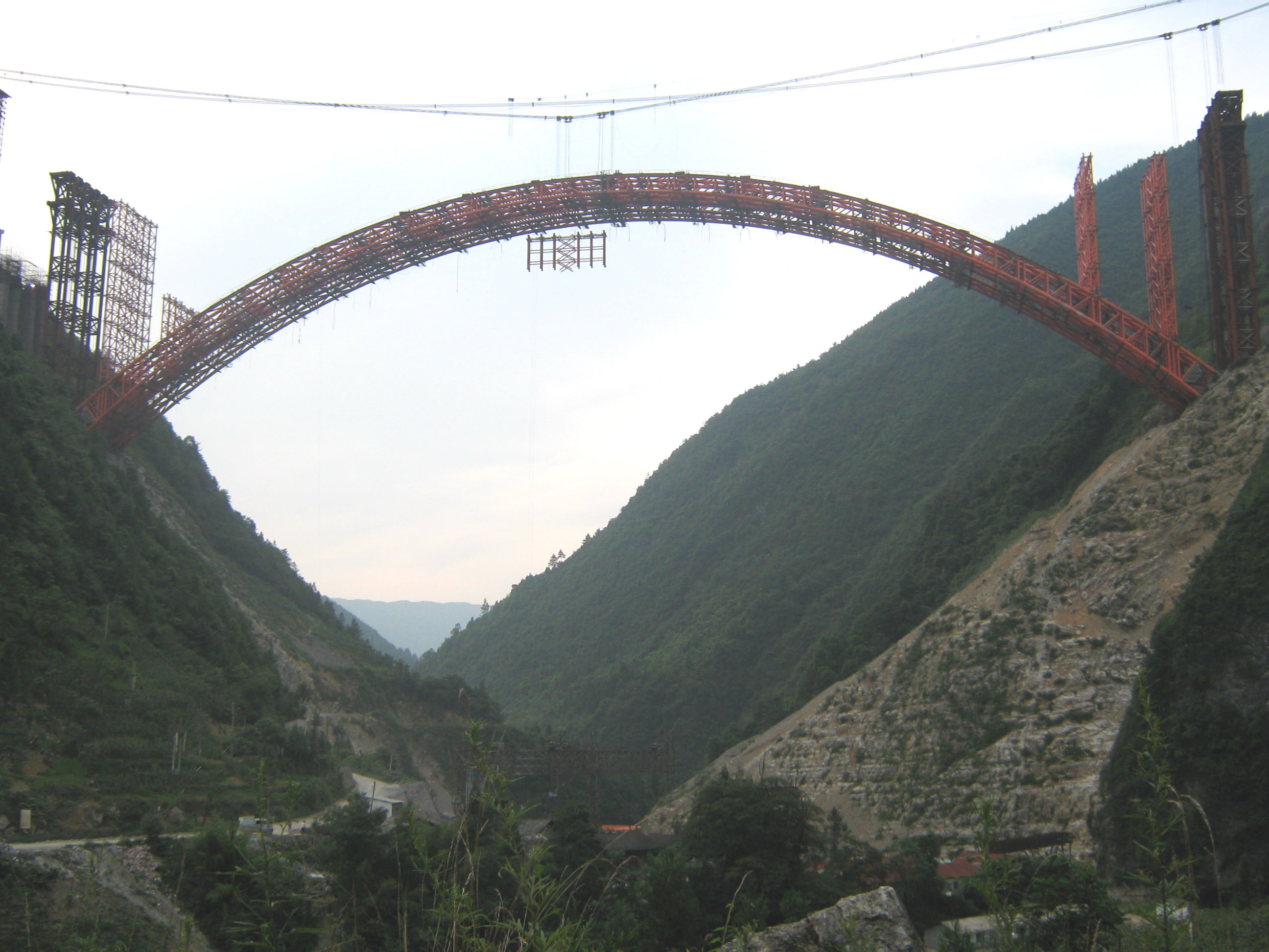
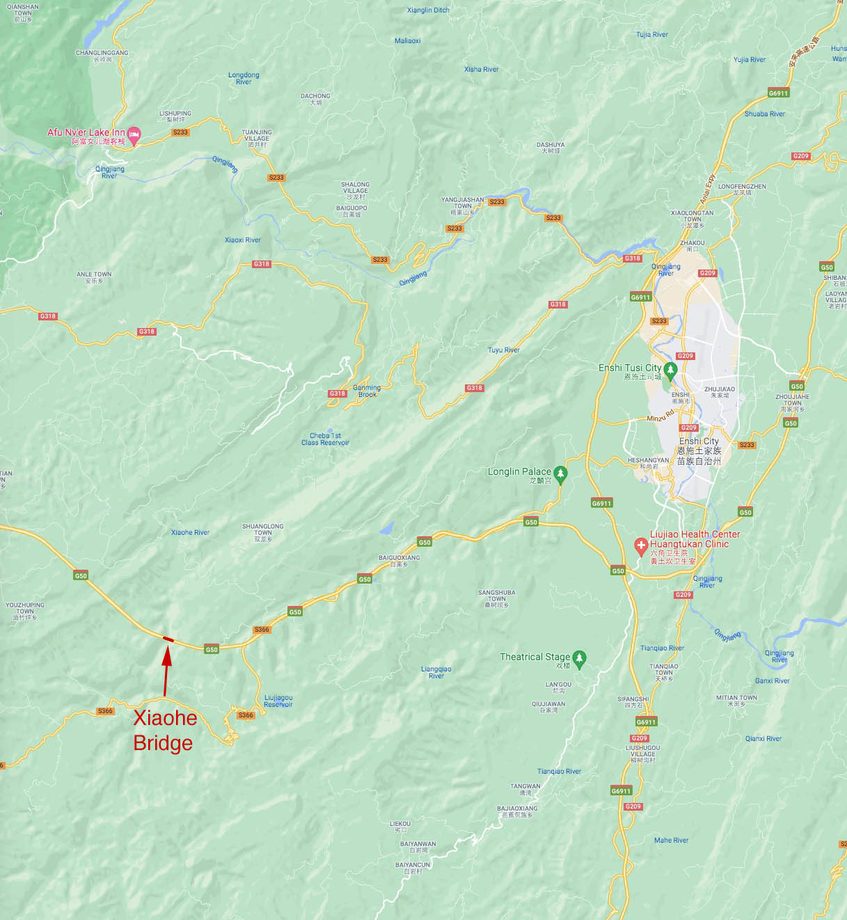
Xiaohe is the second of two massive steel arch bridges located on the G50 Huyu Expressway that now connects Shanghai on the Pacific coast with the cities of Chongqing and Chengdu in the west. Located about 80 kilometers / 50 miles south of the famous 3 Gorges region of the Yangtze River in China’s mountainous Hubei Province, the bridge is just one of several amazing structures on the last 483 kilometer / 300 mile link of the 2,175 kilometer / 1,350 mile long highway. Xiaohe is the baby brother to Zhijinghe, the highest roadway arch along the route at 294 meters.
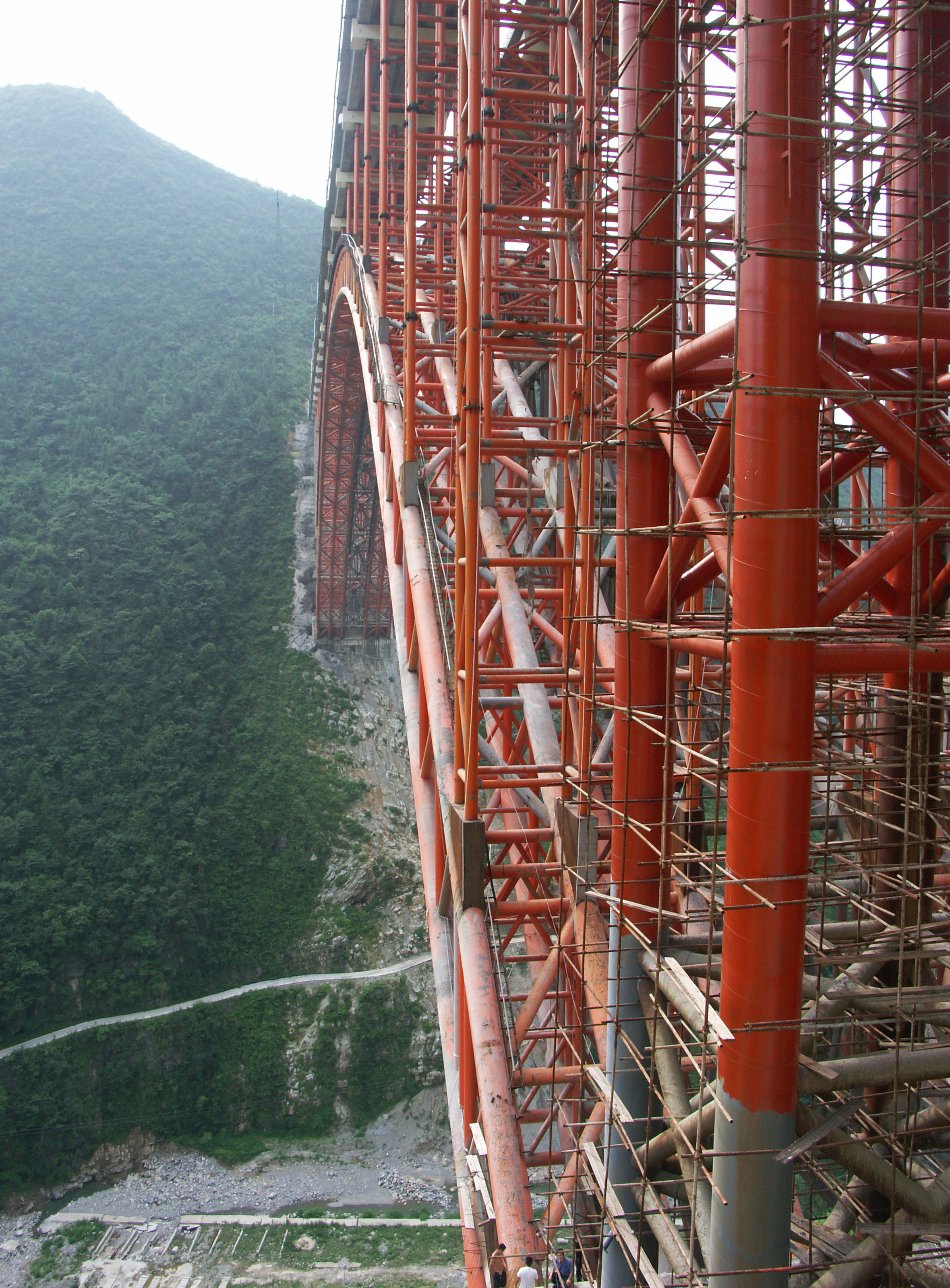
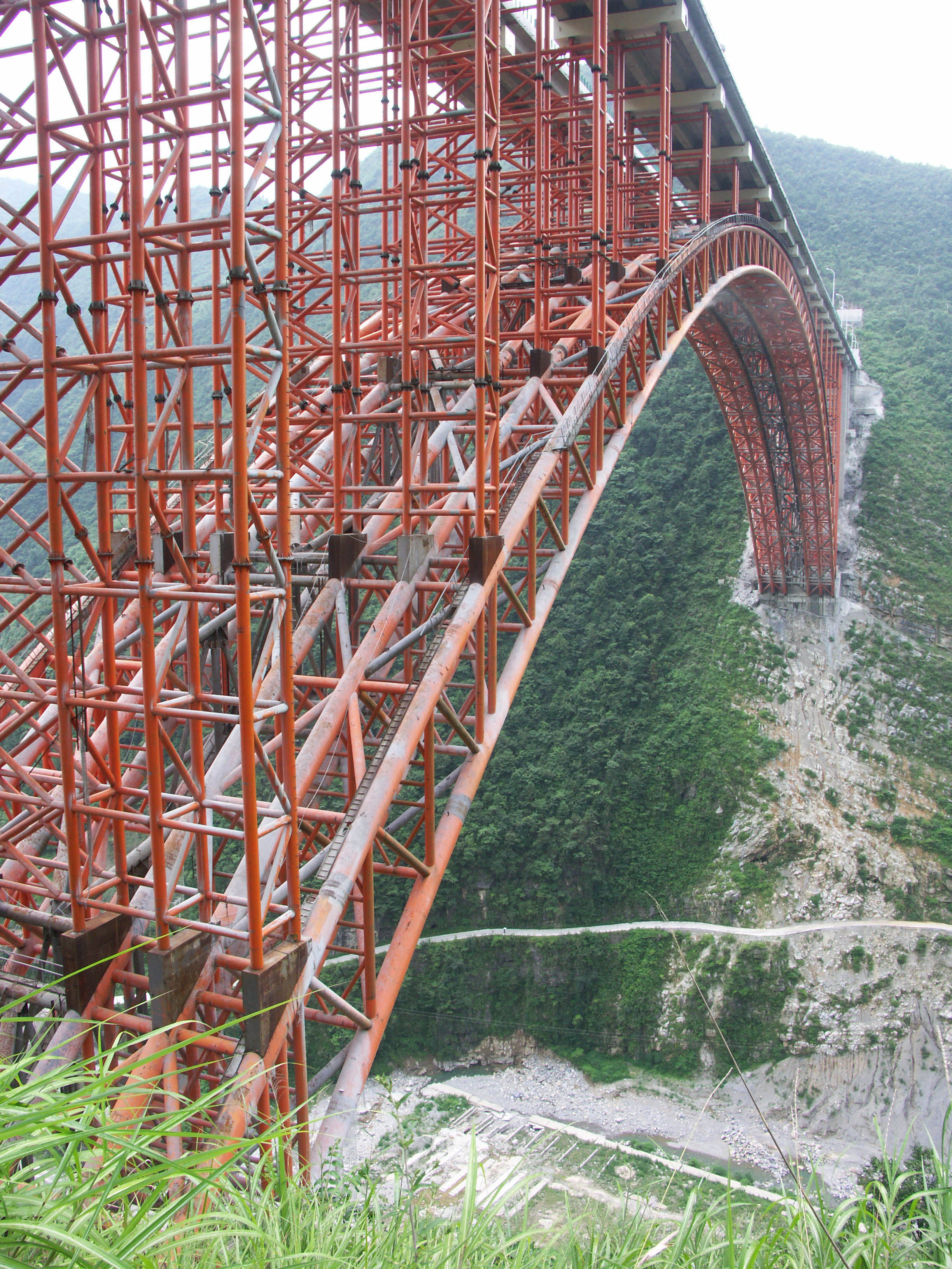
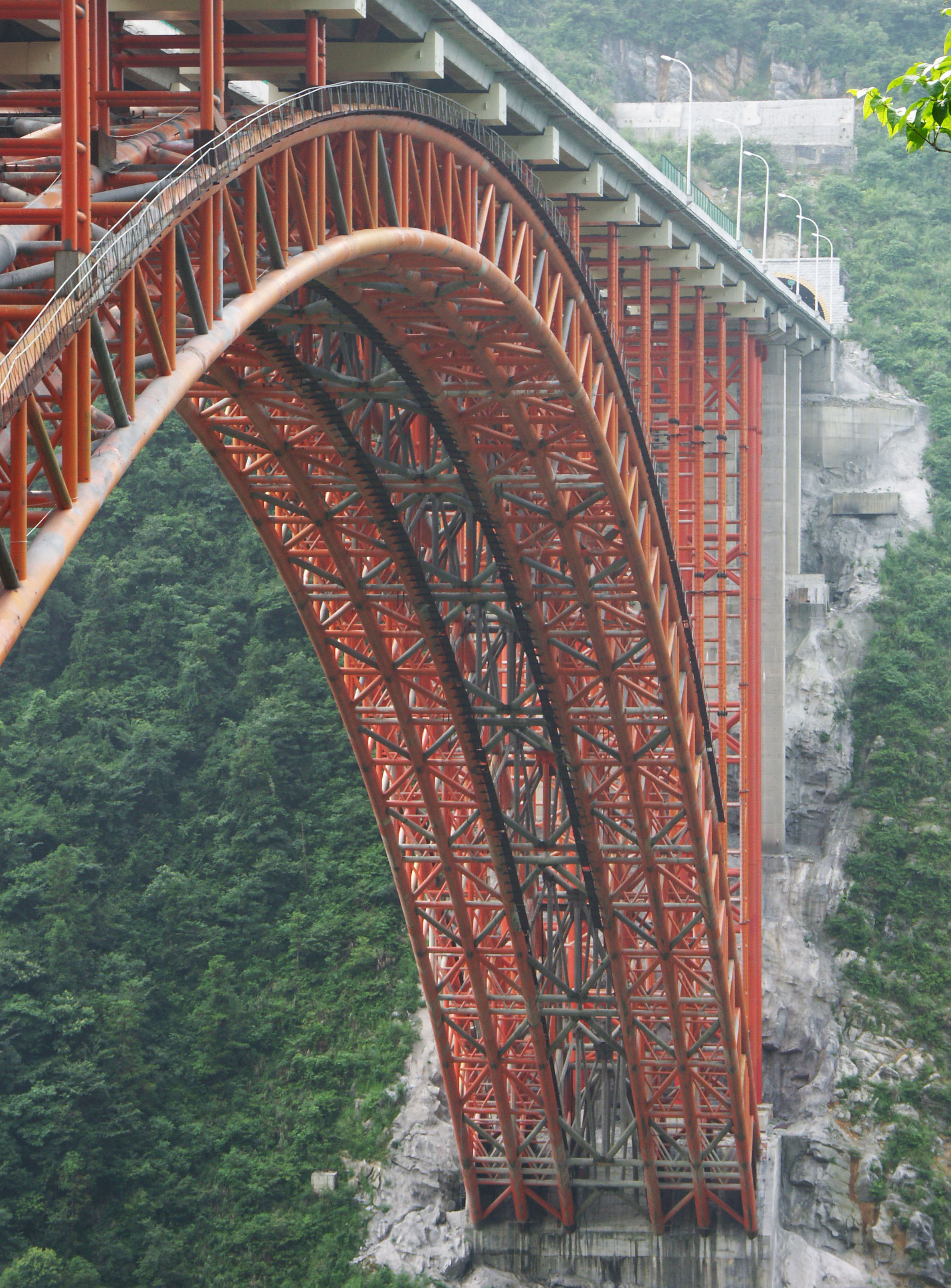
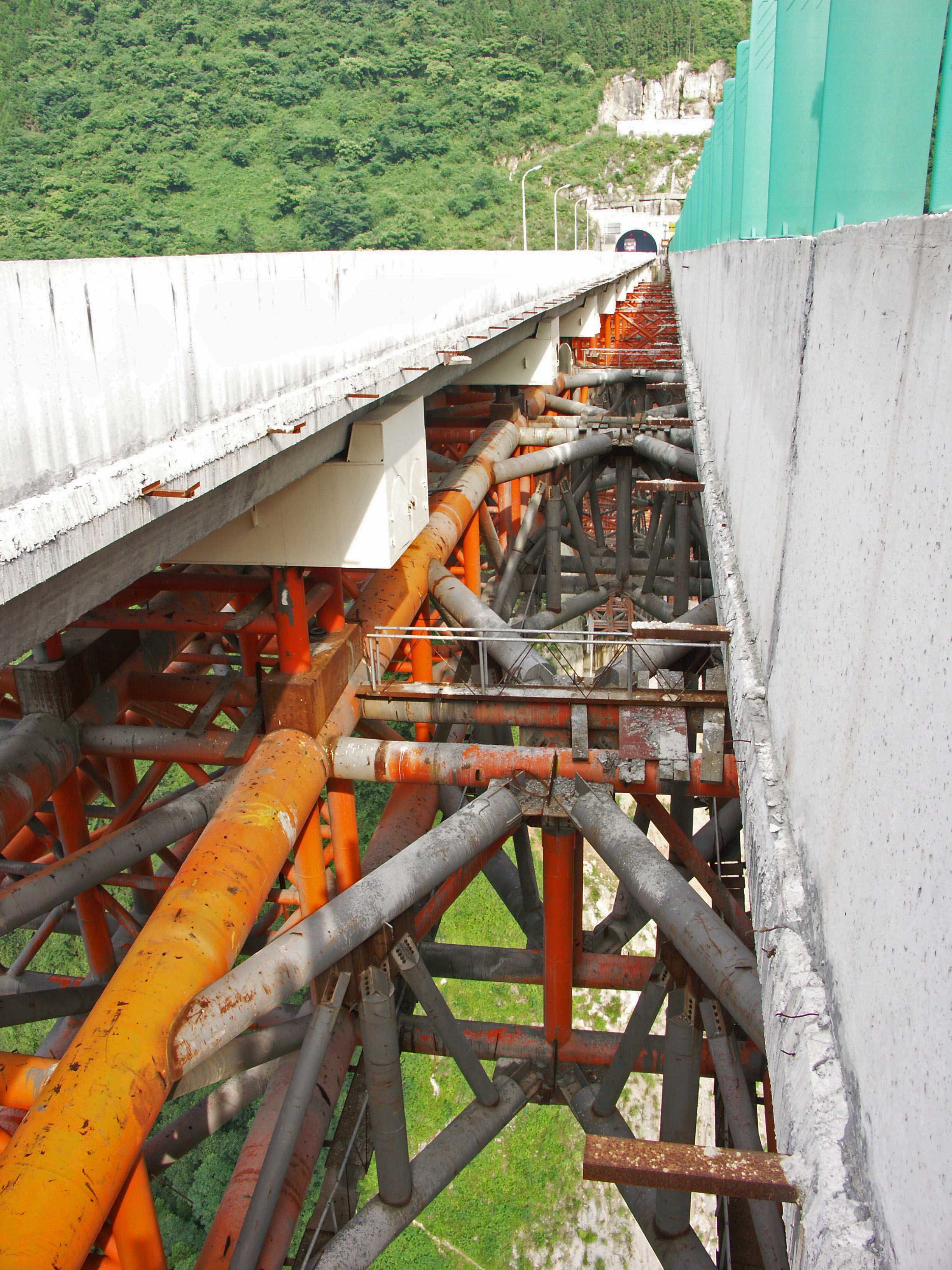
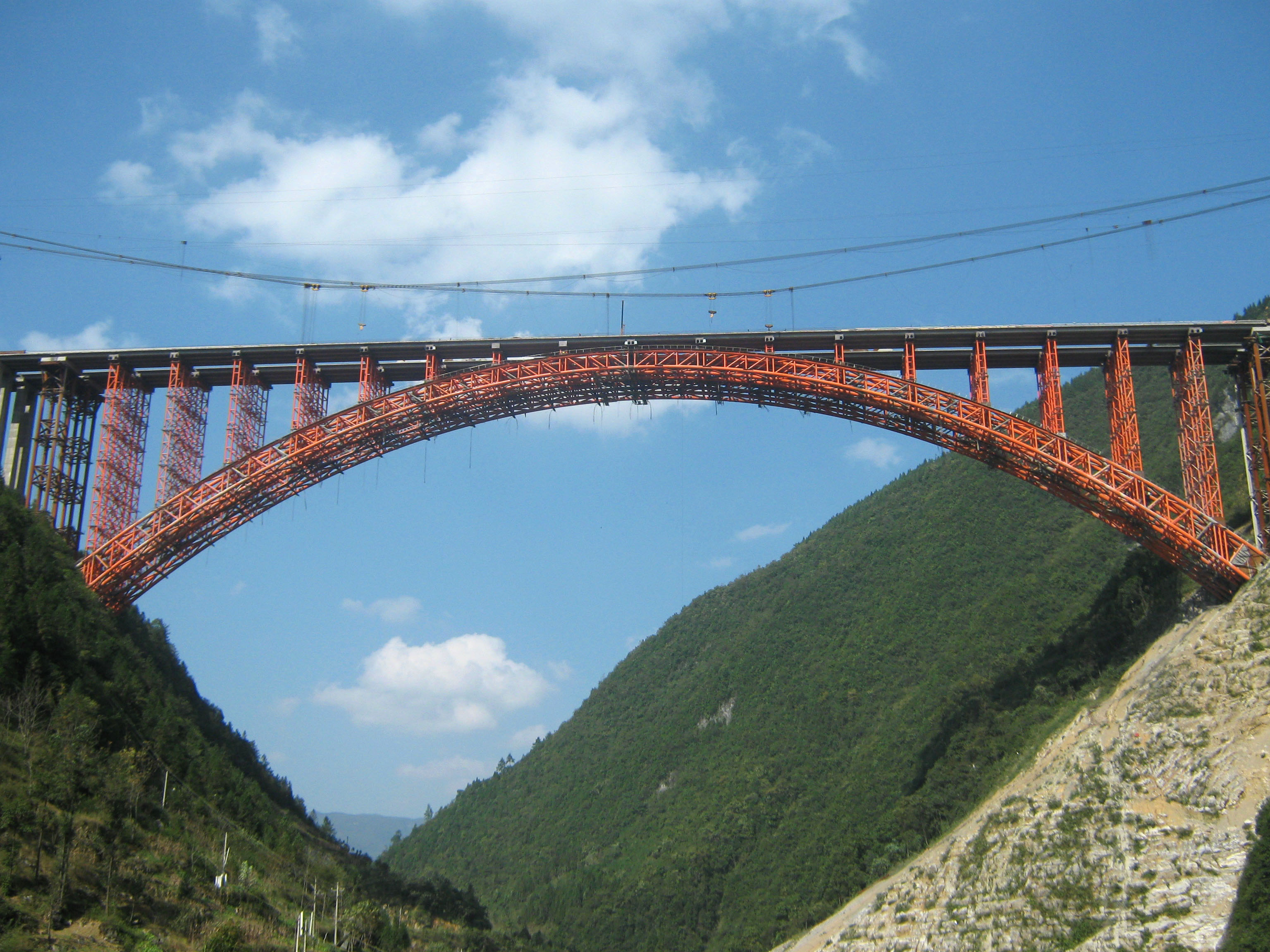
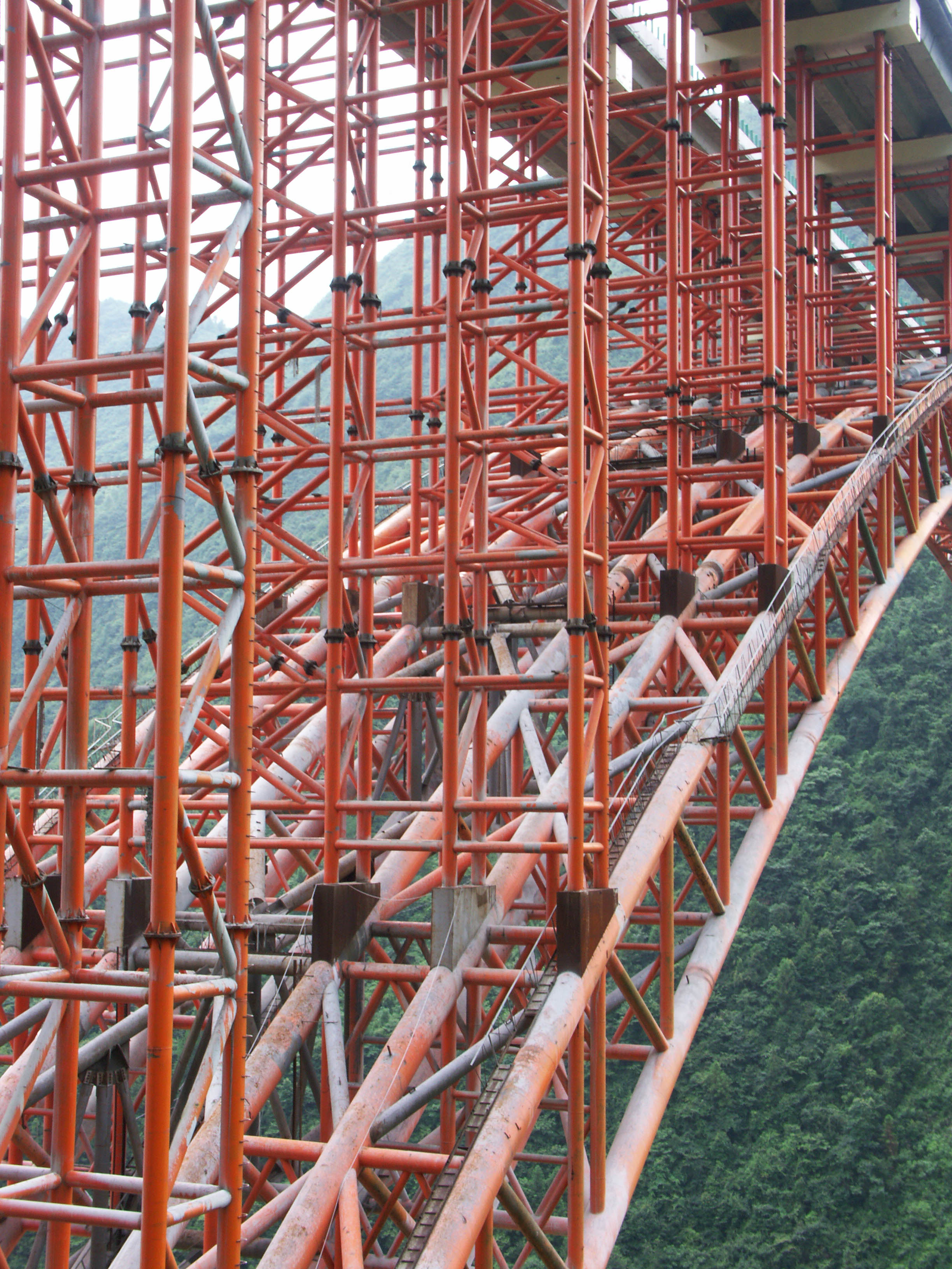
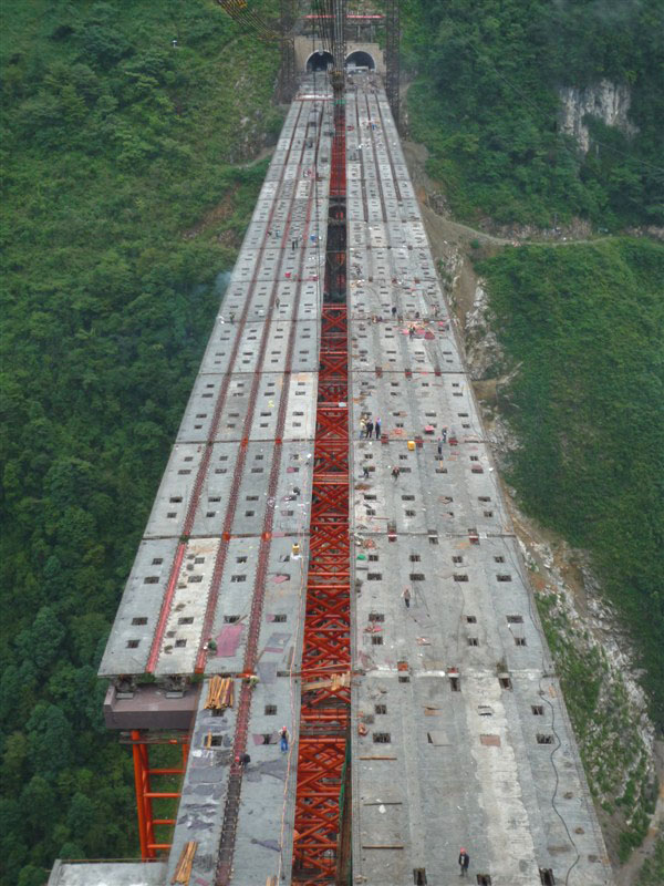
The main span of Xiaohe Bridge has a span to rise ratio of 5 to 1 supporting a deck 24.5 meters wide. The truss is 7.9 meters at the foundation and 4.9 meters at the crown.
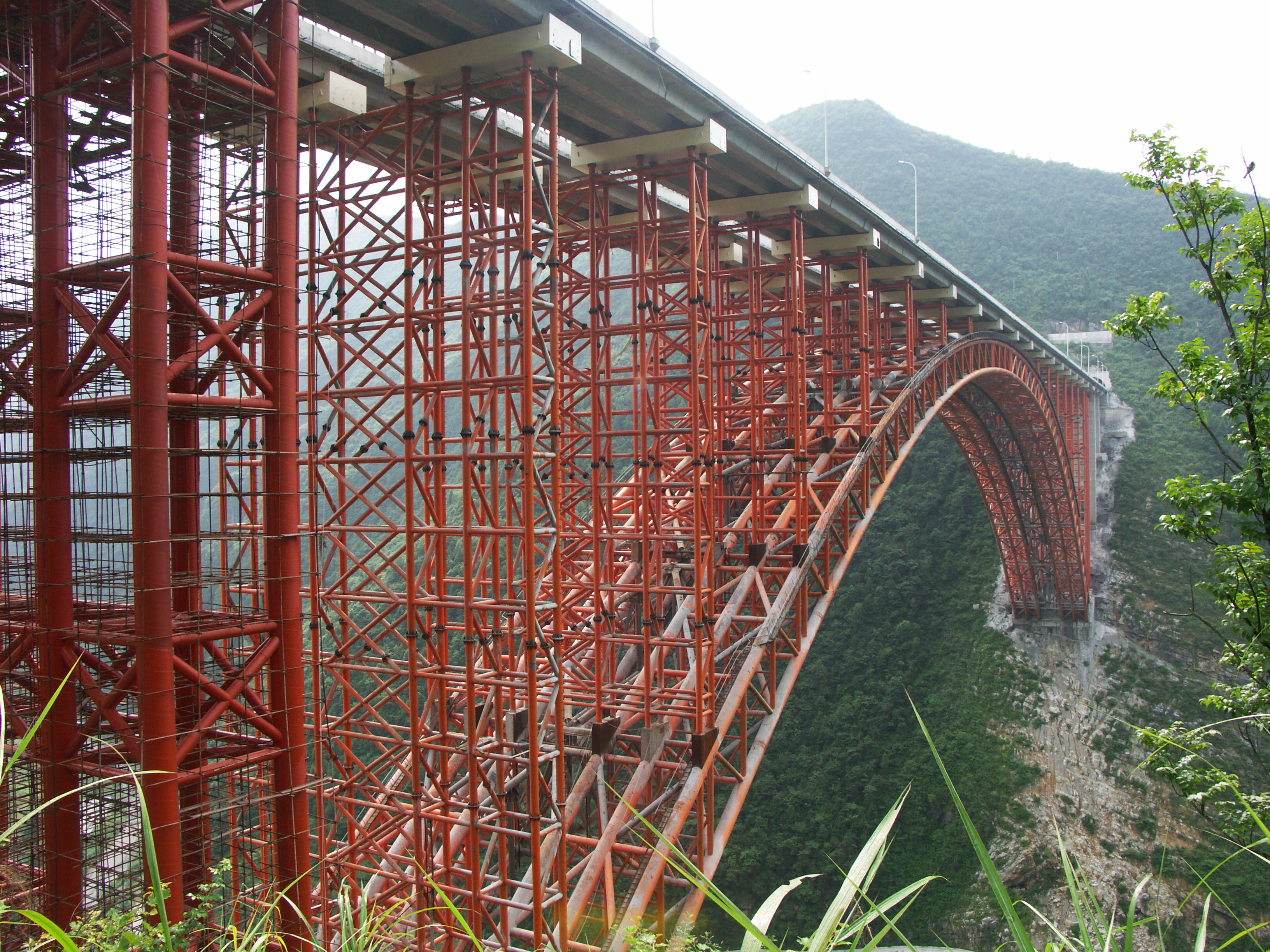
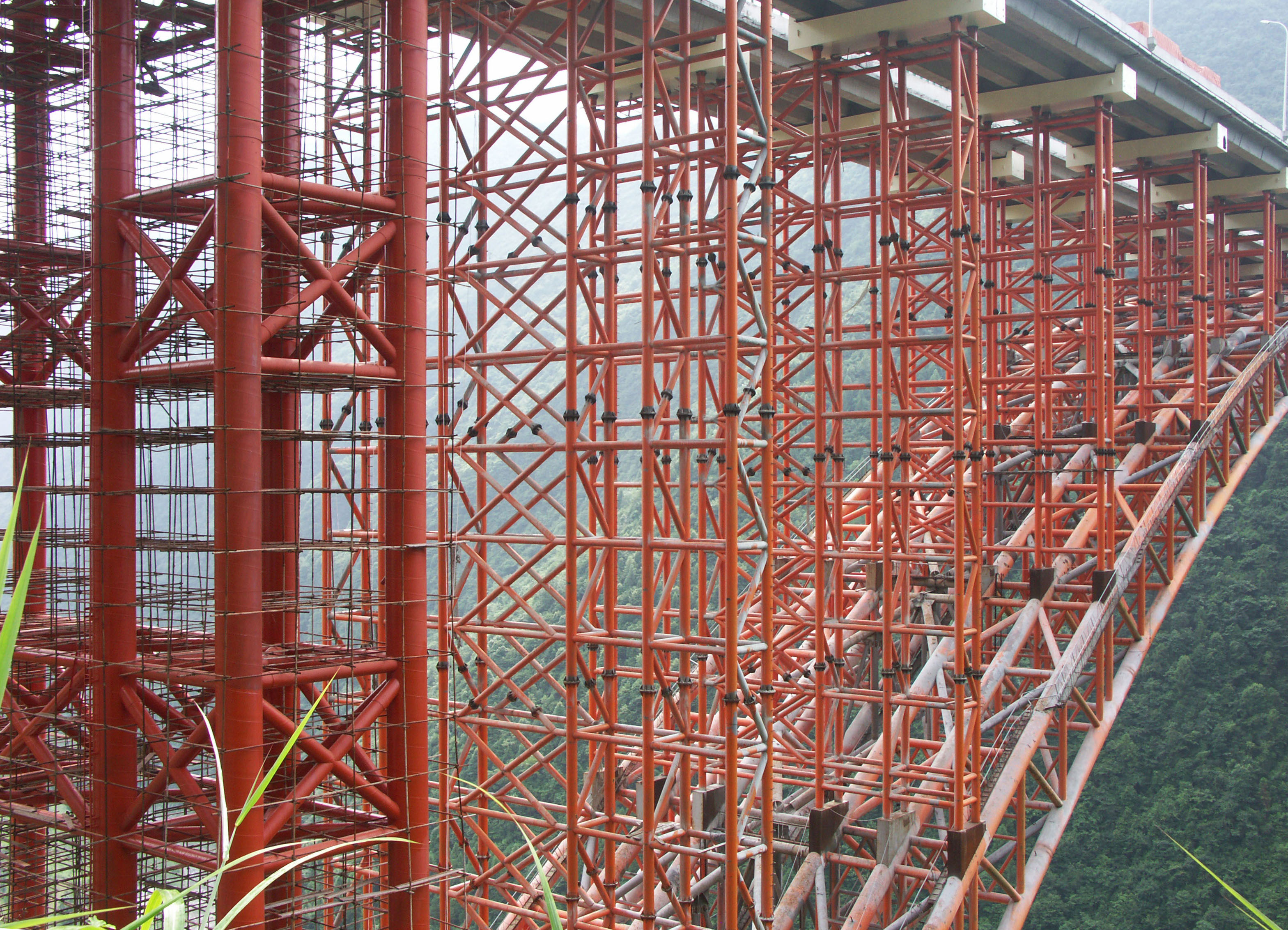
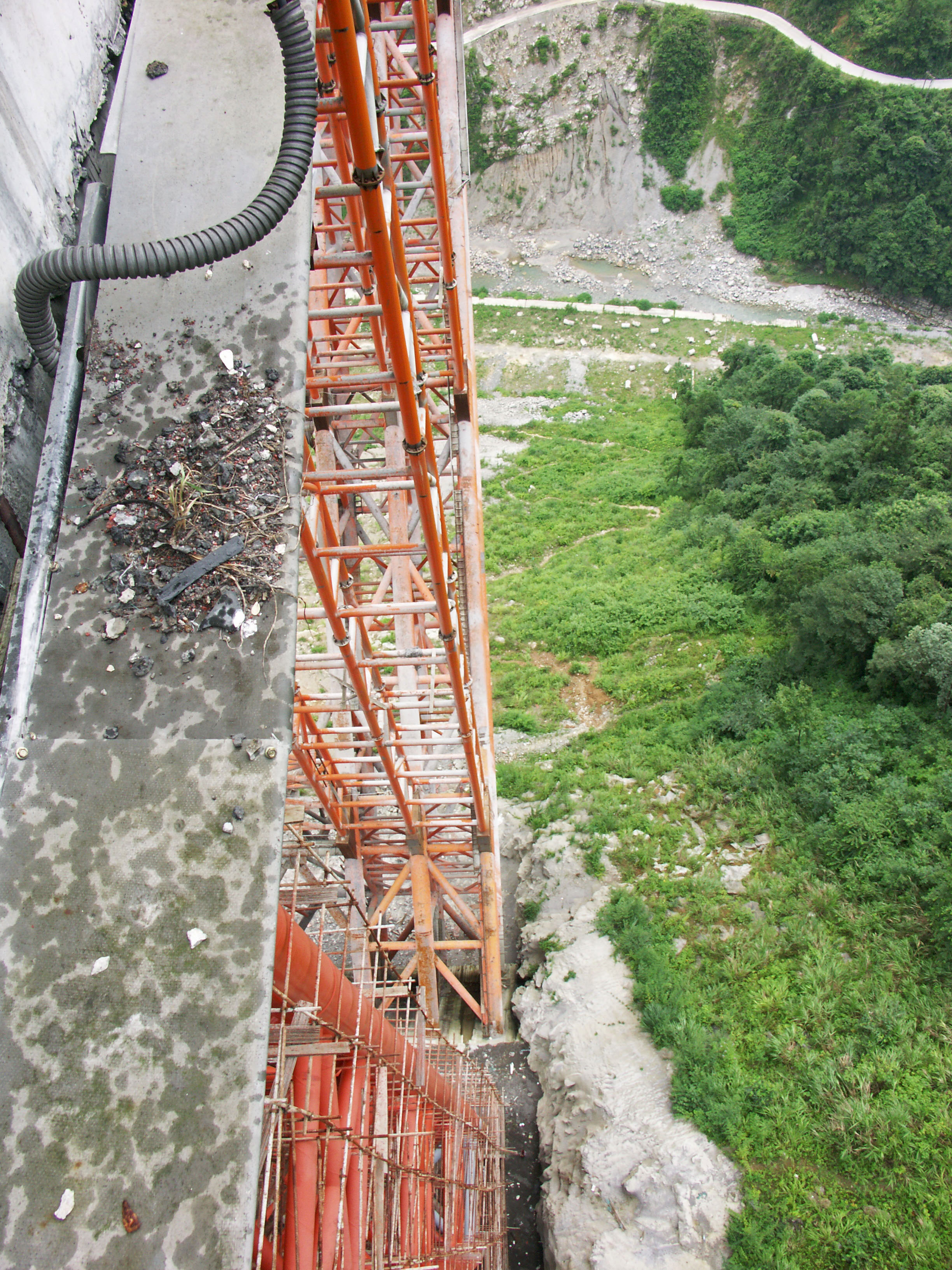
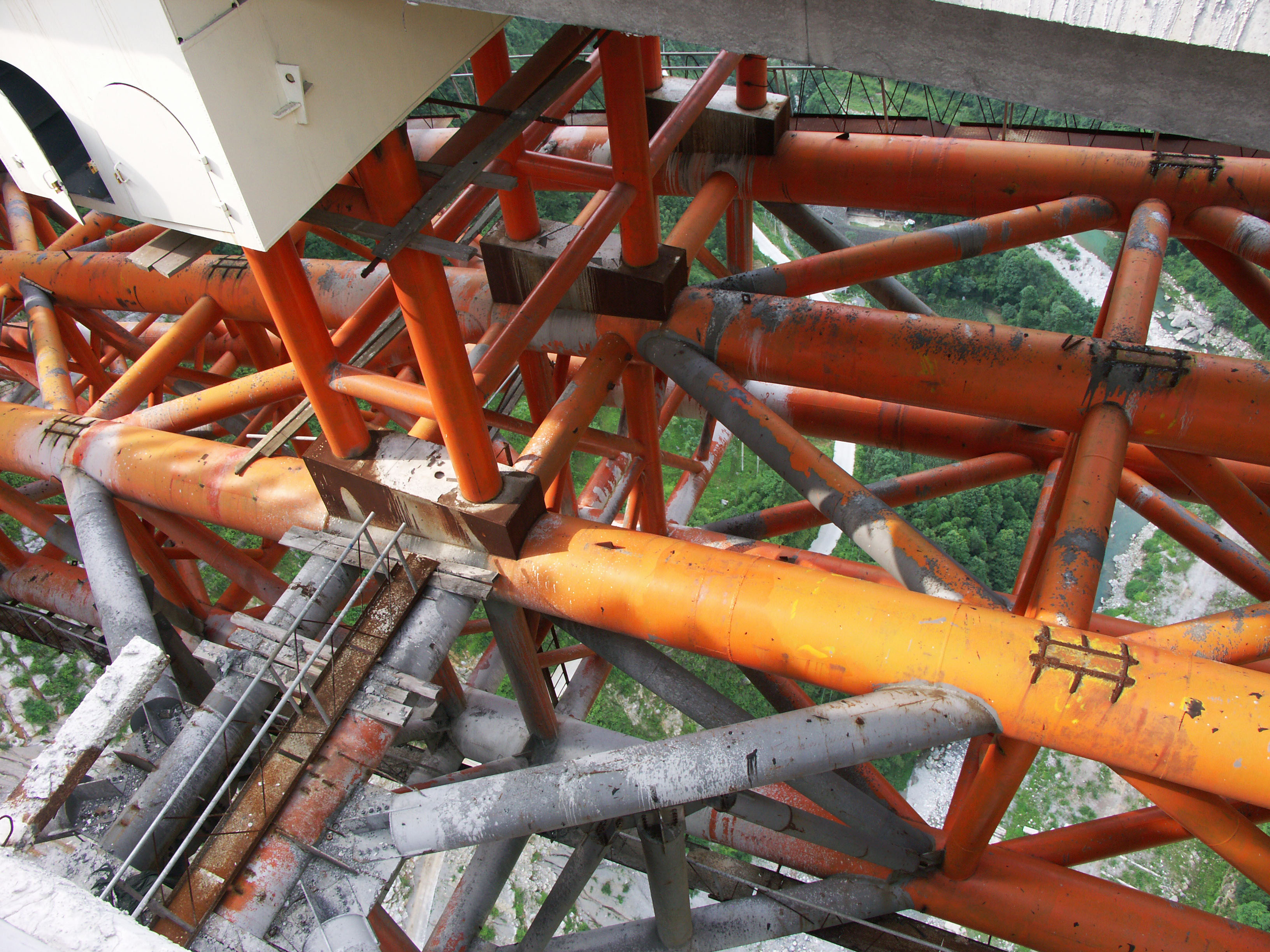
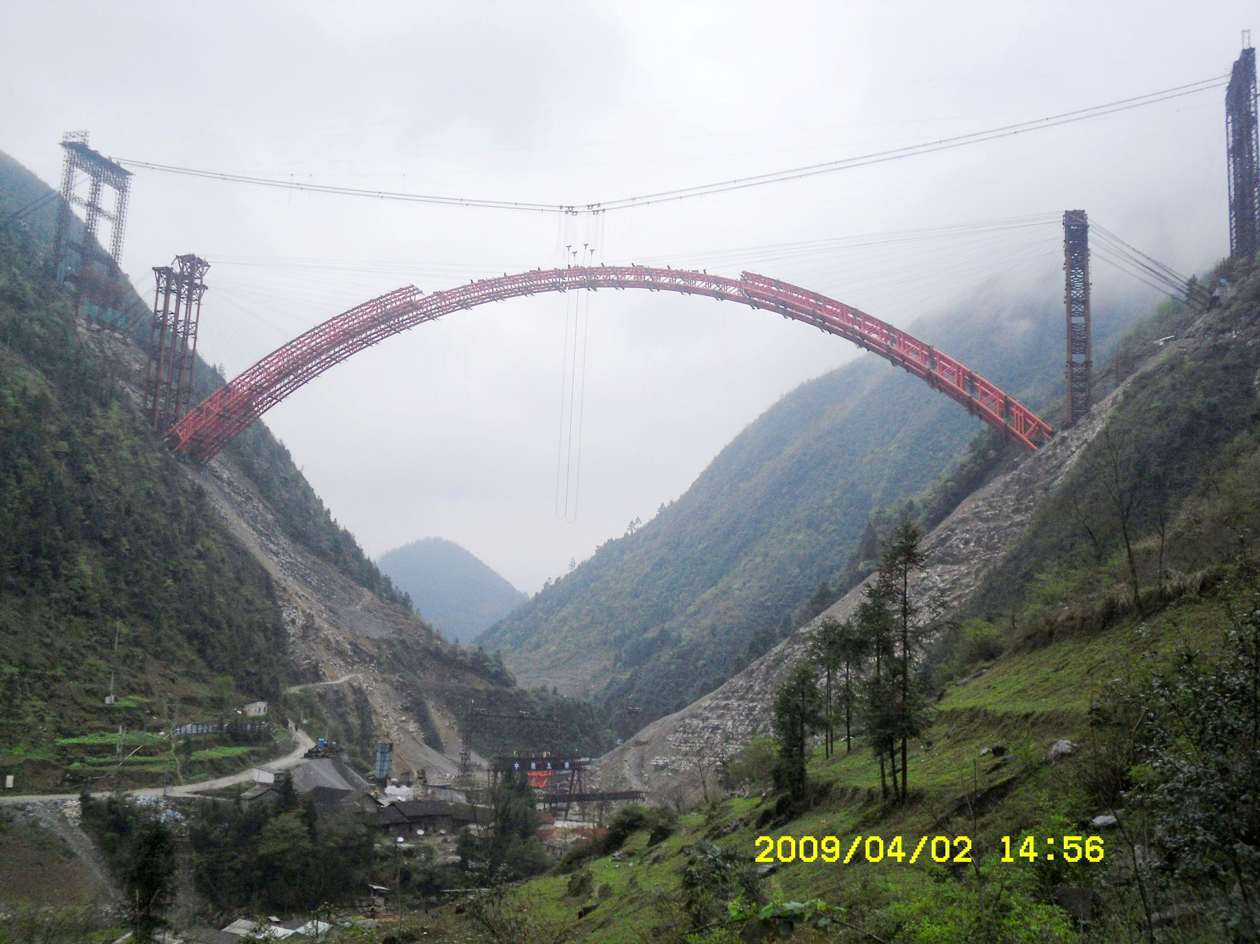
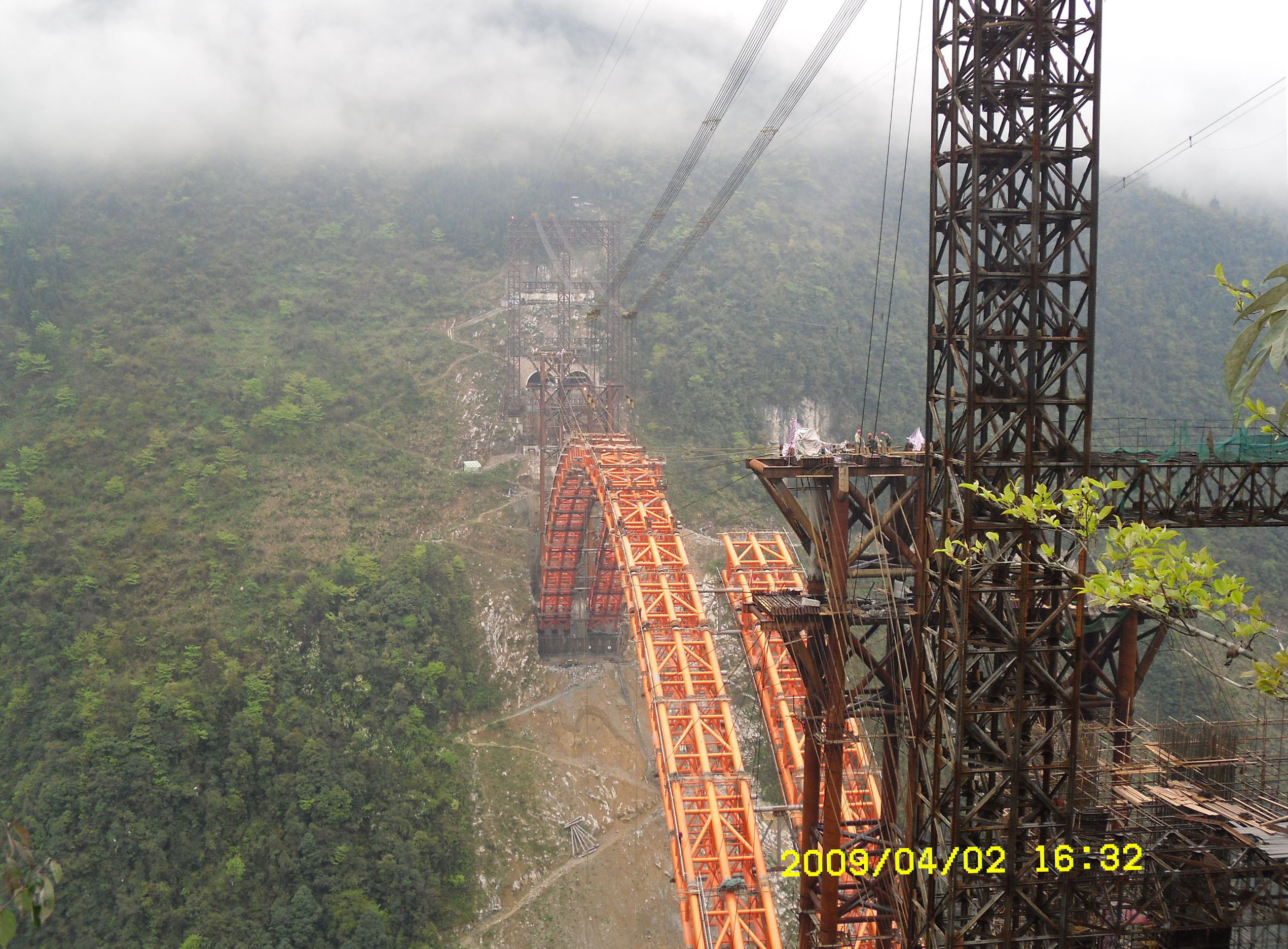
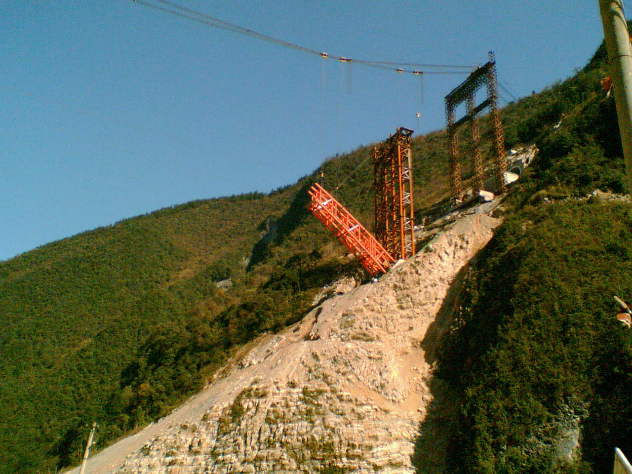
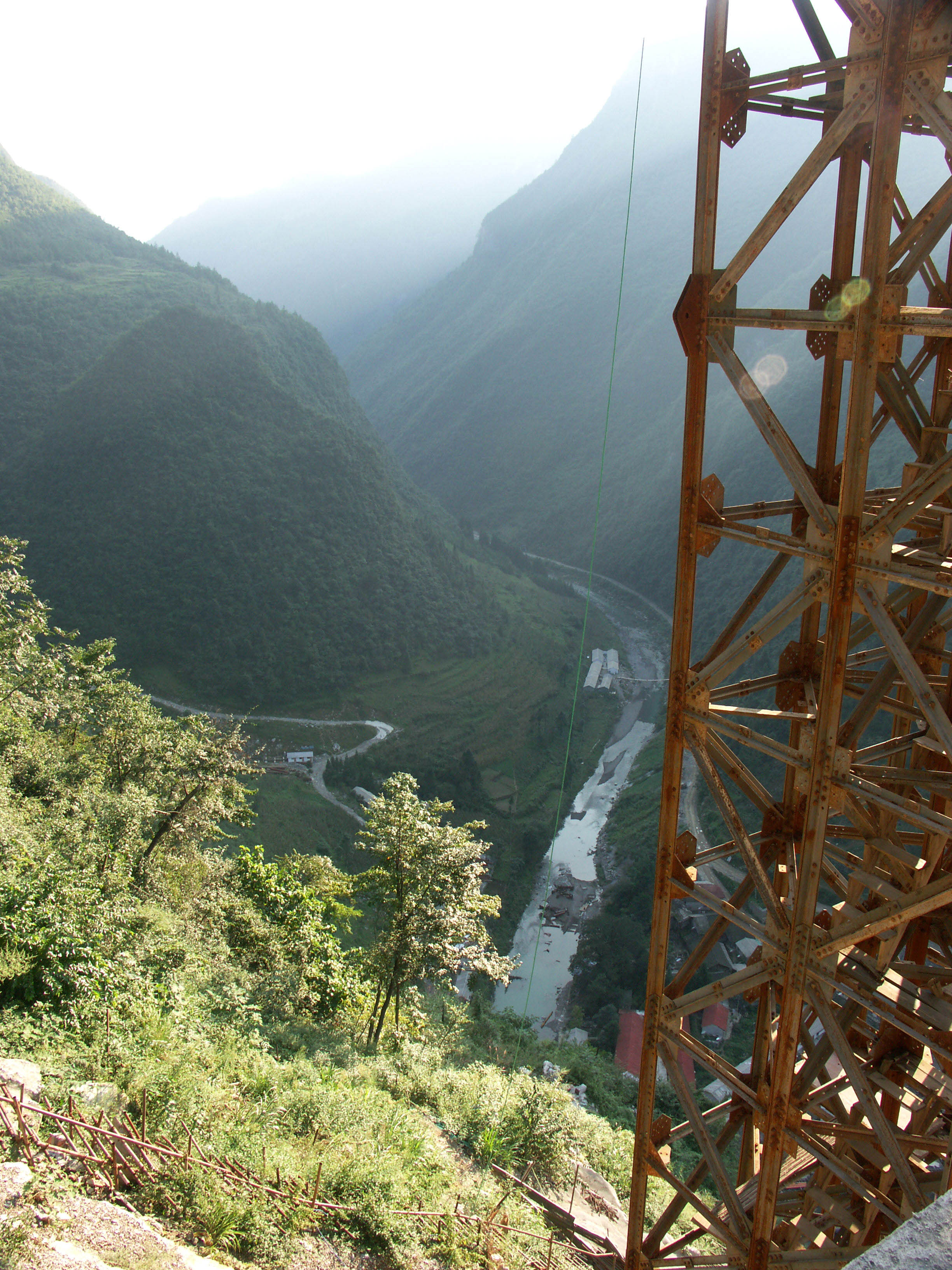
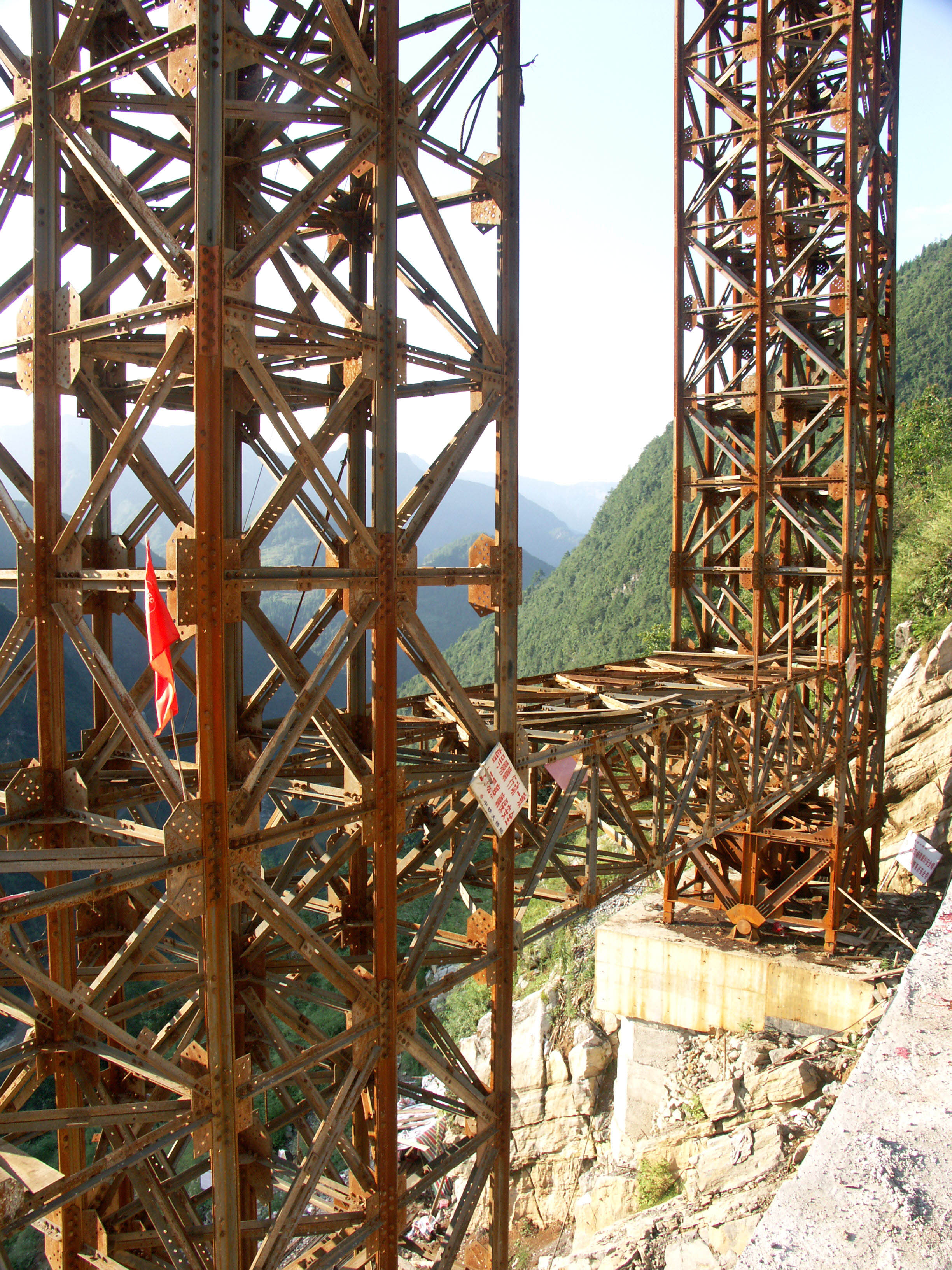
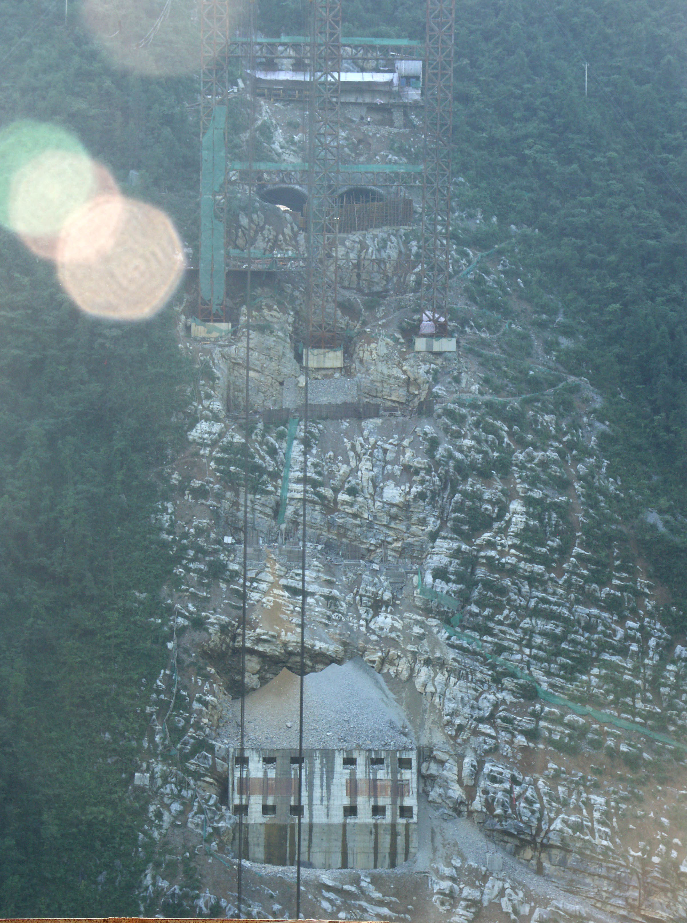
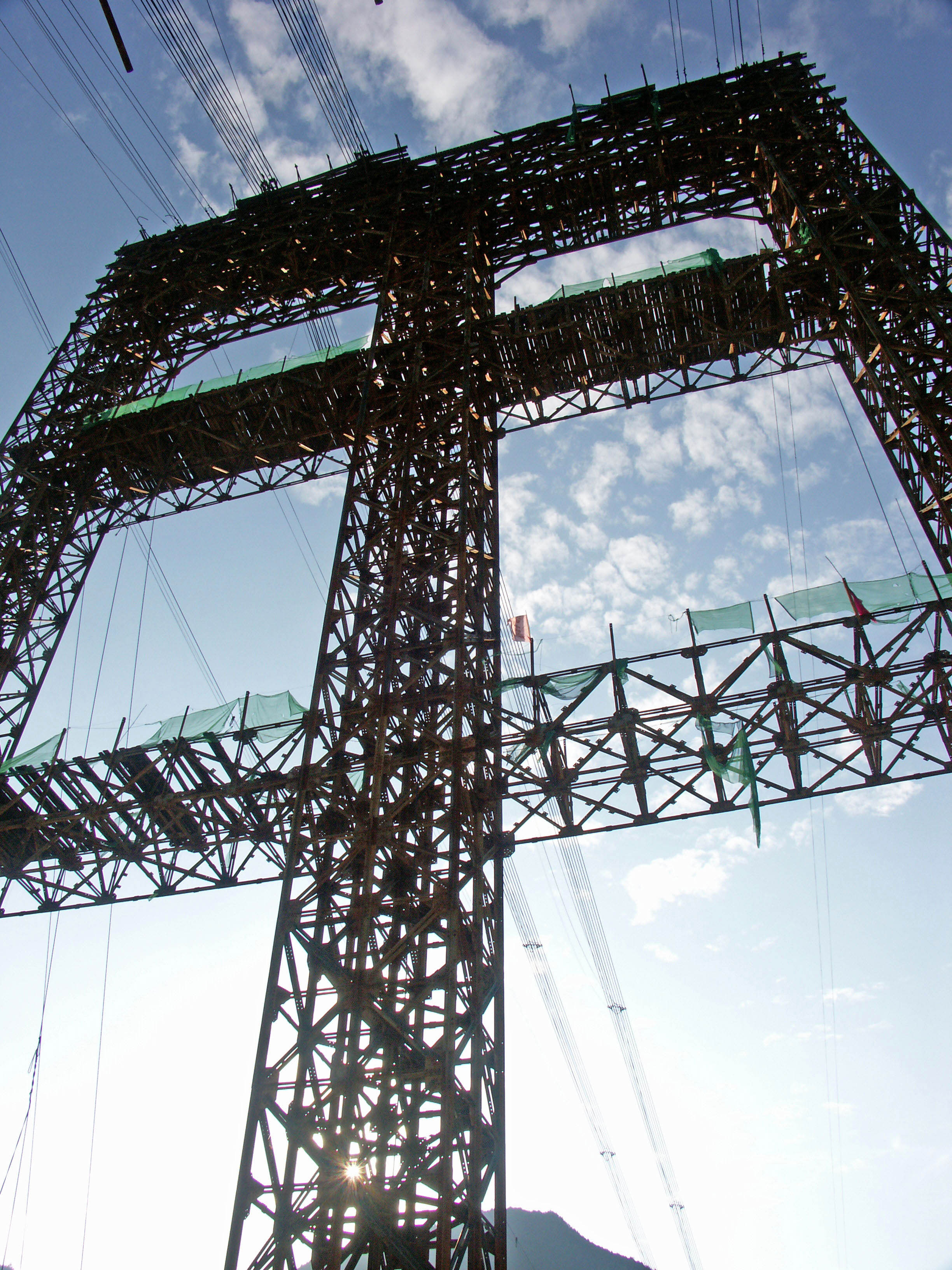
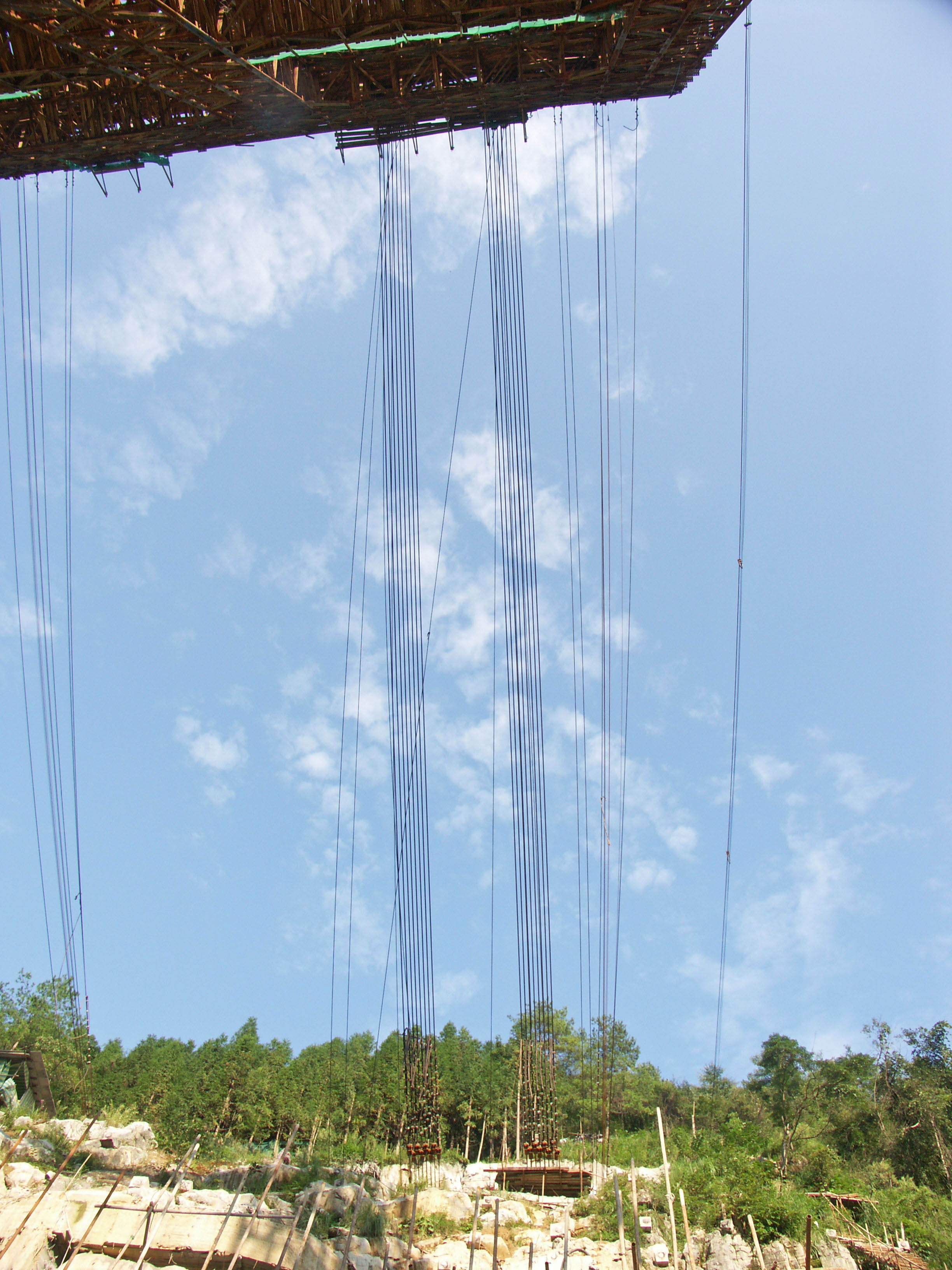
Like Zhijinghe, the Xiaohe bridge is one of China’s many concrete filled steel tubular arch bridges. Constructed with a highline supported by two temporary towers on each side of the gorge, each steel section of the arch was held in place with stay cables until the two halves were joined in the middle. Once the arch was closed, concrete was pumped into the largest steel tubes from the bottom up. Once hardened, the concrete solidified and stiffened the arch, improving the compressive strength of the entire structure. Completed in 2010, Xiaohe was the last of the major bridges on the highway to open. The bridge is 24 kilometers / 15 miles west of Enshi.
小河大桥是现在连接太平洋西岸城市上海和中国西部内地城市重庆和成都的沪蓉国道干线西段的两座巨大钢管混凝土拱桥之一。坐落在中国湖北省山区的长江三峡库区以南大约50英里(80公里)处,小河大桥也仅仅是这条1350英里(2175公里)长的国道干线西段最后300英里(483公里)连接线上诸多令人惊叹的大桥之一。小河大桥是世界最高的桥面高度的拱桥支井河大桥的小兄弟。
和支井河大桥一样,小河大桥是中国许多钢管混凝土拱桥之一。大桥的建设,依靠位于河谷两侧的两座临时性的龙门塔架上的高空缆索,每一个钢管拱节段都有缆索运输吊装,直到两个半拱圈在拱桥跨中合拢。合拢后,混凝土就被泵送到巨大的钢管中,自底而上浇注灌满钢管。一旦硬化,混凝土就会硬化和强化拱圈,增强整个结构的强度。预计在2010年的某个时间建成的小河大桥,将是沪蓉西高速上最后一座完成的主要大桥。
Image by Eric Sakowski / HighestBridges.com
Image by Eric Sakowski / HighestBridges.com
Image by Eric Sakowski / HighestBridges.com
Image by Eric Sakowski / HighestBridges.com
Image by Eric Sakowski / HighestBridges.com
Image by Eric Sakowski / HighestBridges.com
Image by Eric Sakowski / HighestBridges.com
Image by Eric Sakowski / HighestBridges.com
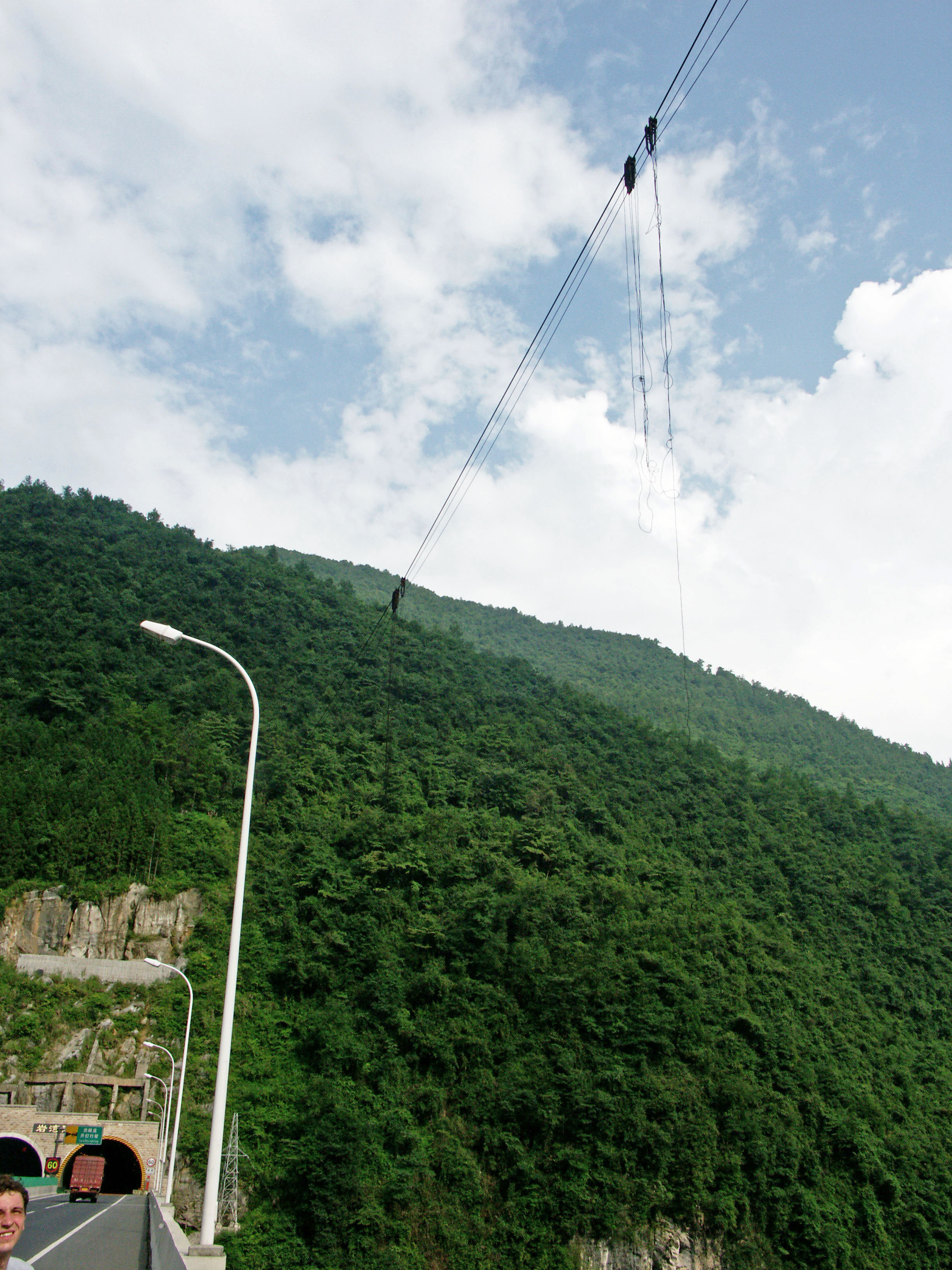
A construction highline was still in place in 2011. Image by Eric Sakowski / HighestBridges.com
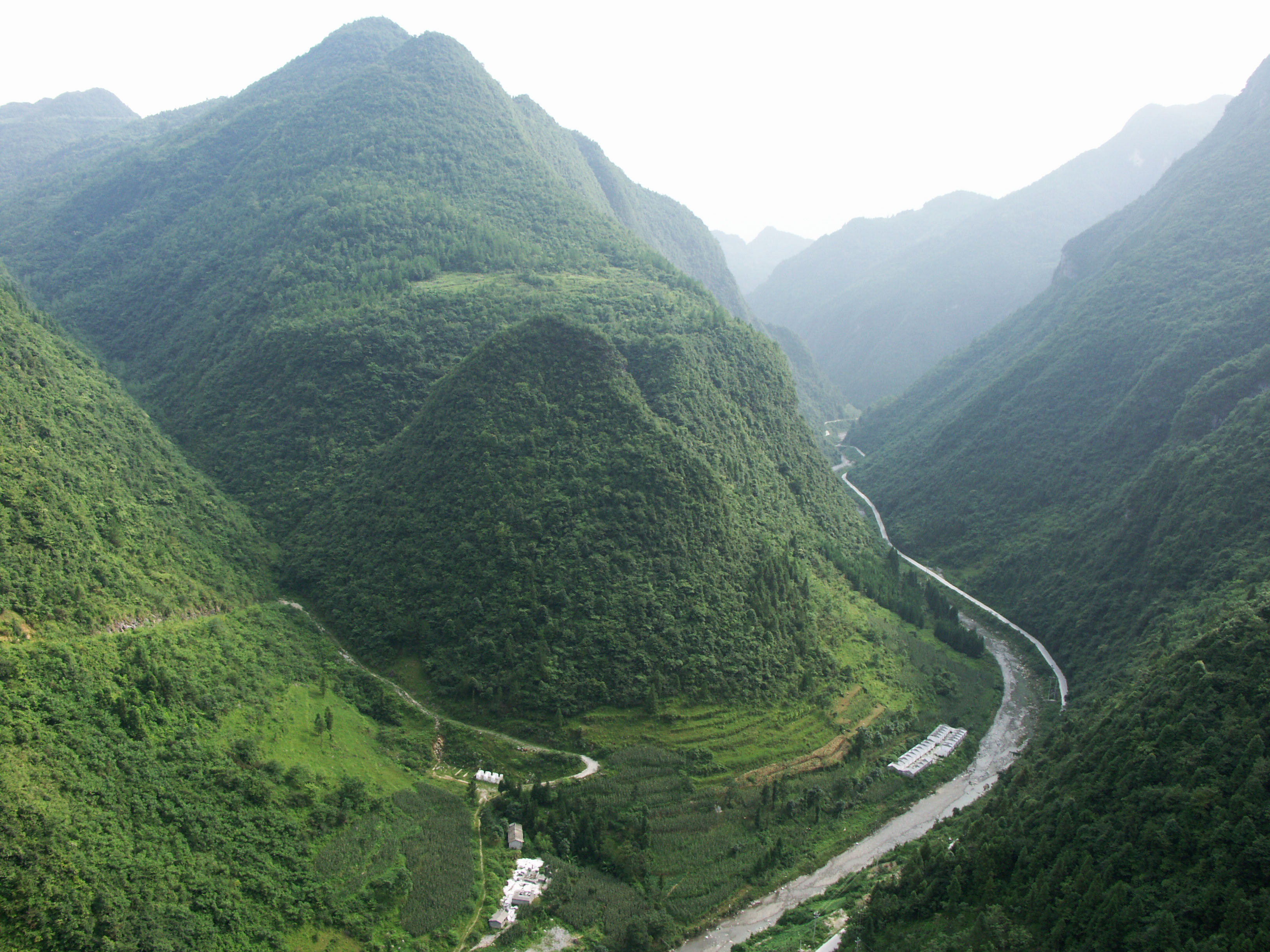
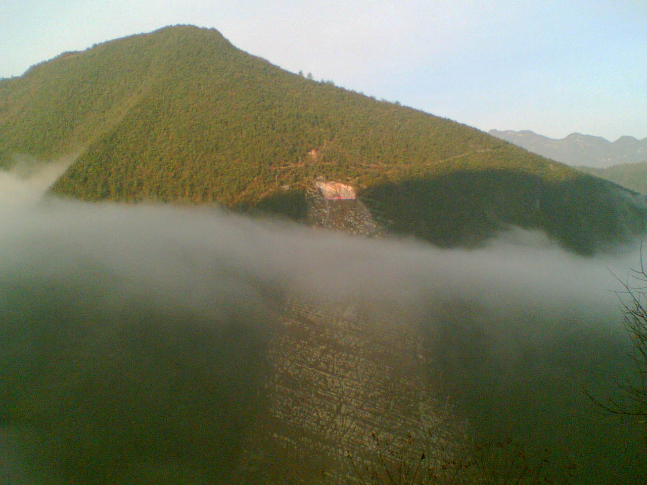
South view of the Xiaohe River valley. Image by Eric Sakowski / HighestBridges.com
Image by Eric Sakowski / HighestBridges.com
Image by Eric Sakowski / HighestBridges.com
Image by Eric Sakowski / HighestBridges.com
North view of the Xiaohe River valley. Image by Eric Sakowski / HighestBridges.com
Image by Eric Sakowski / HighestBridges.com
Image by Eric Sakowski / HighestBridges.com
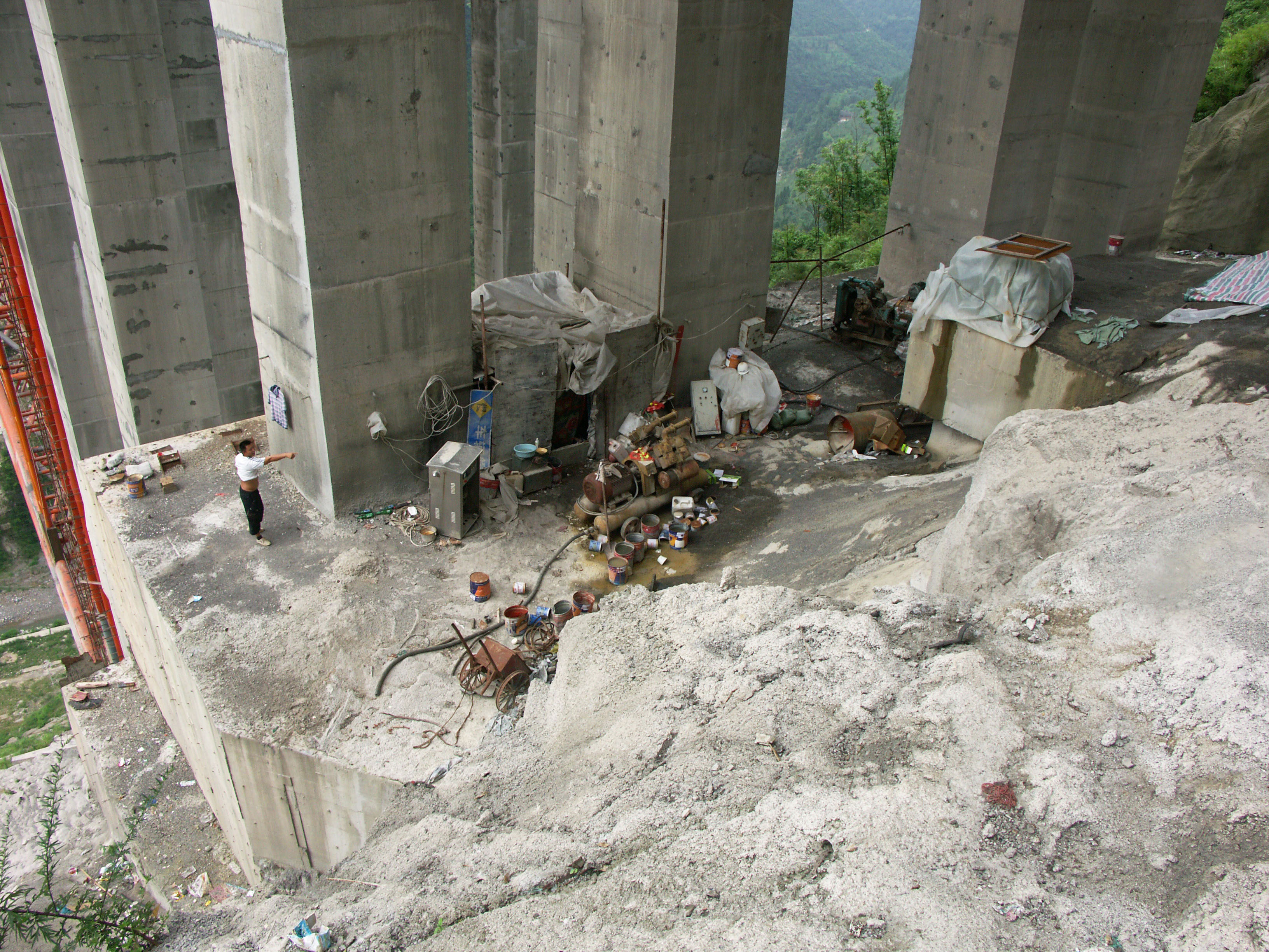
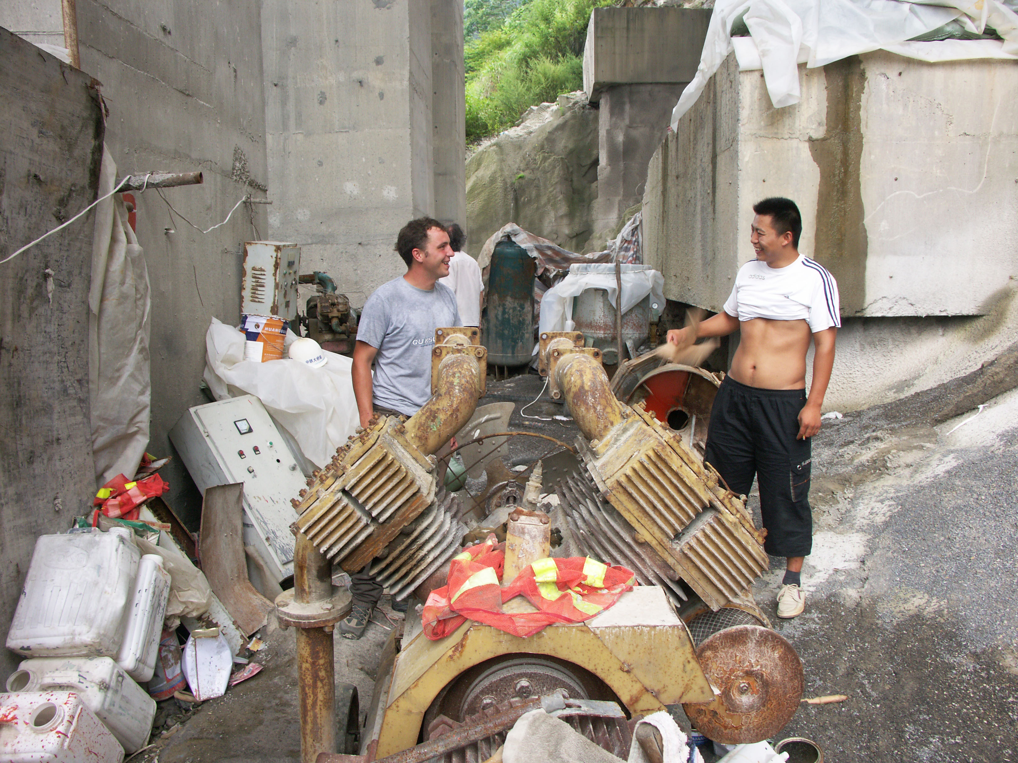
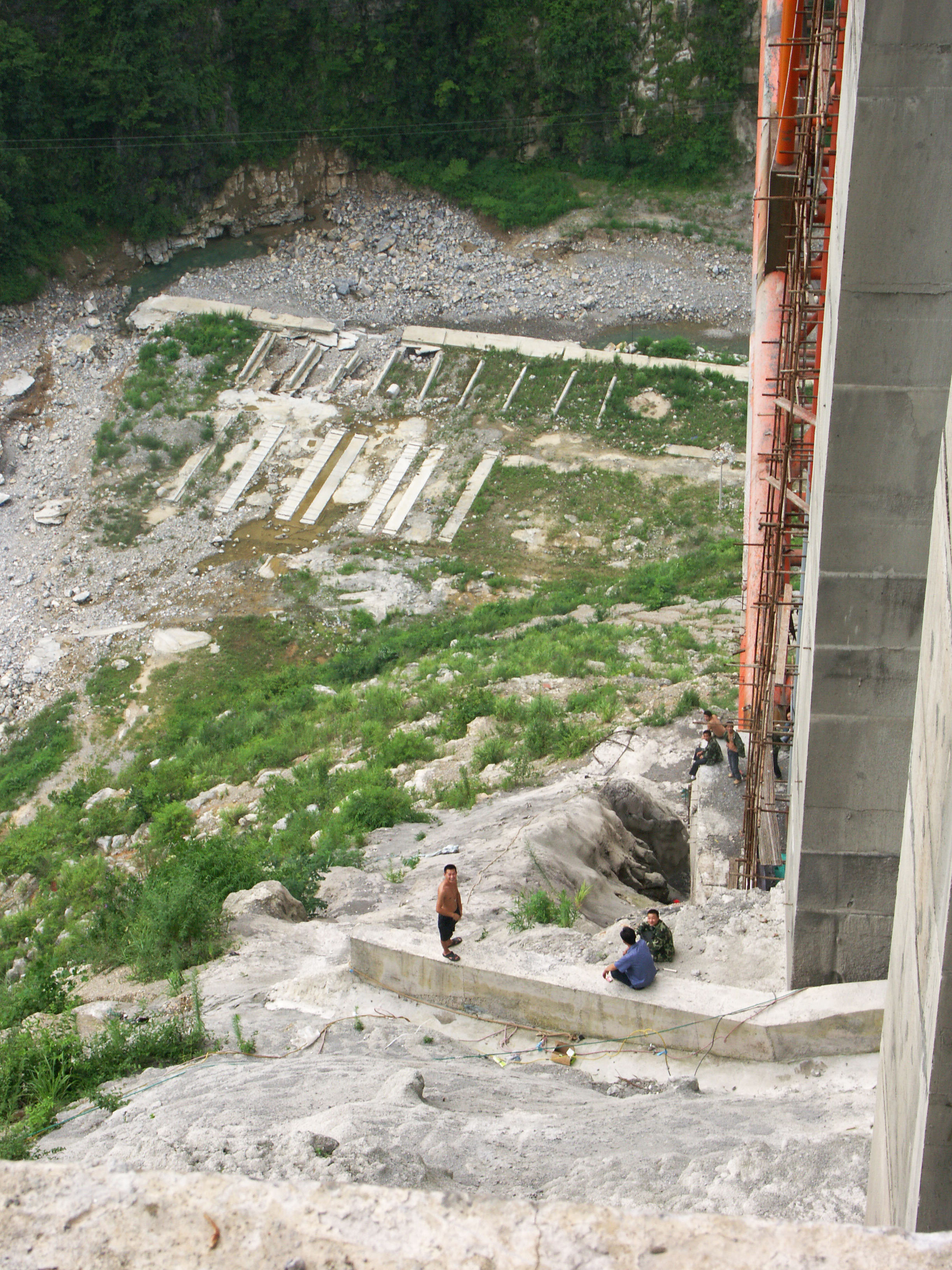
Several workers were staying under the bridge during a final paint job in 2011. Image by Eric Sakowski / HighestBridges.com
Image by Eric Sakowski / HighestBridges.com
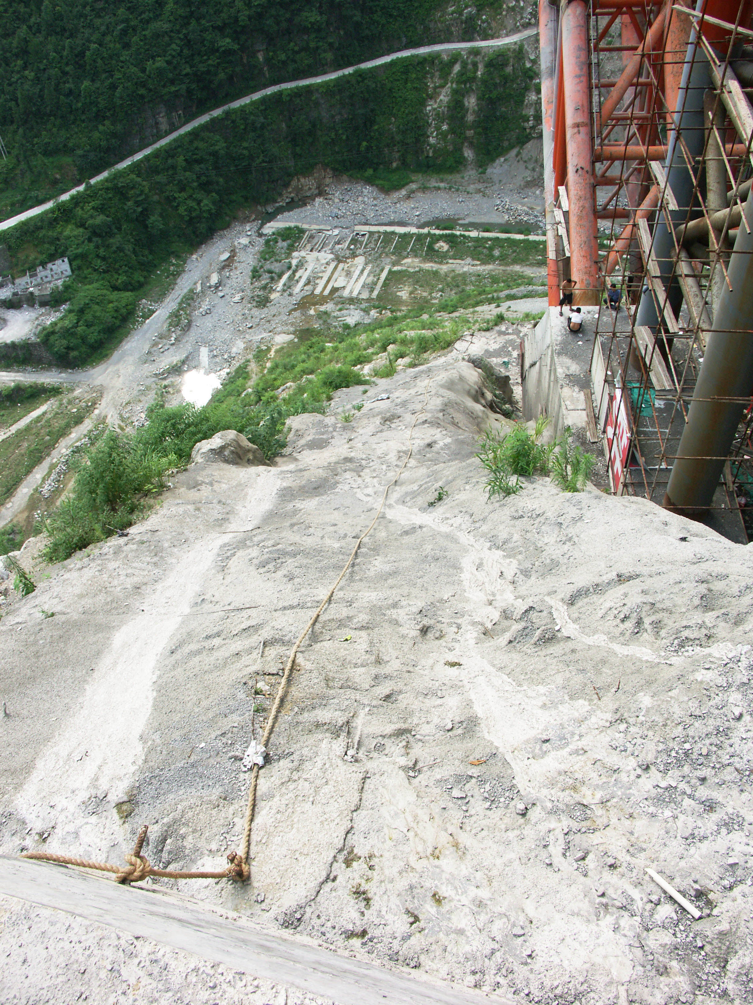
A rope to help the painters get up the steep slope. Image by Eric Sakowski / HighestBridges.com
Image by Eric Sakowski / HighestBridges.com
Image by Eric Sakowski / HighestBridges.com
Image by Eric Sakowski / HighestBridges.com
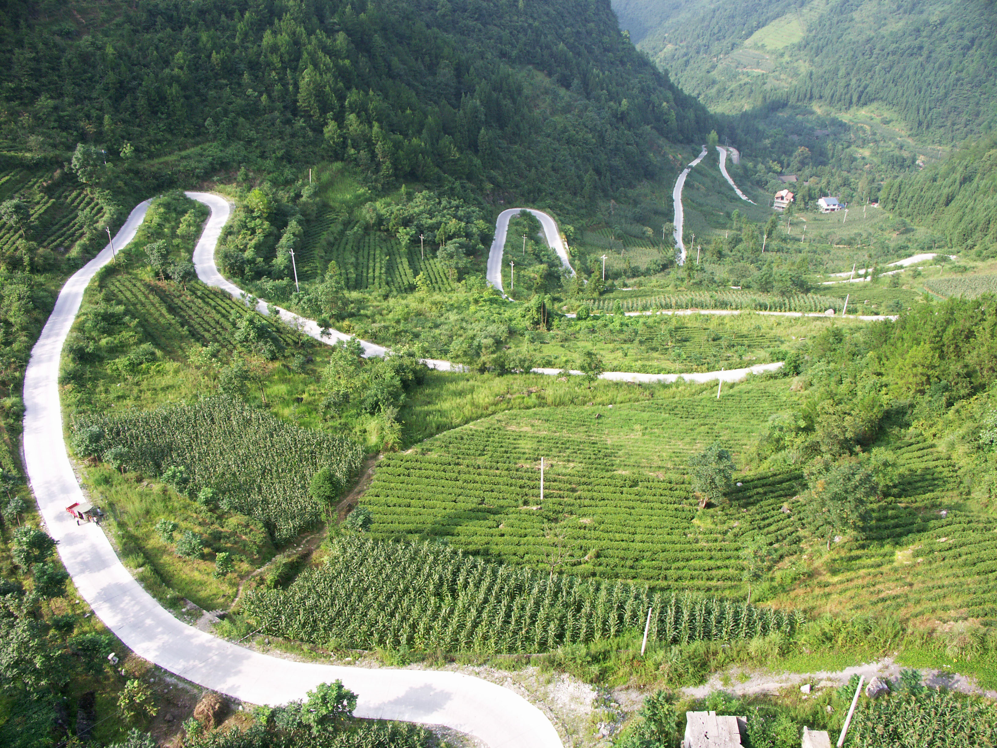
The only access road to the river valley winds down into the gorge from the West. Image by Eric Sakowski / HighestBridges.com
Image by Eric Sakowski / HighestBridges.com
Image by Eric Sakowski / HighestBridges.com
Looking south into the Xiaohe River gorge. Image by Eric Sakowski / HighestBridges.com
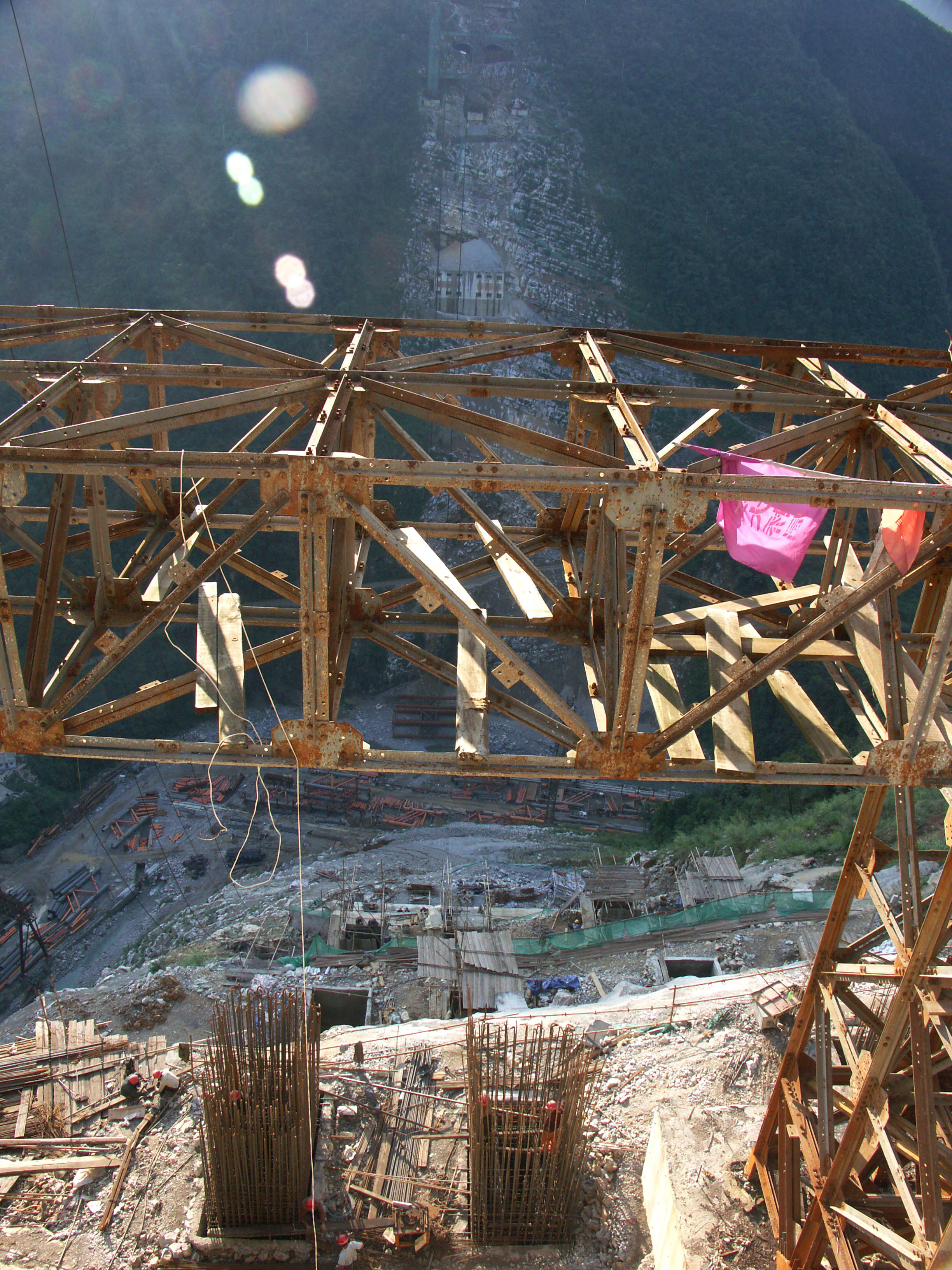
Temporary high line tower support. Image by Eric Sakowski / HighestBridges.com
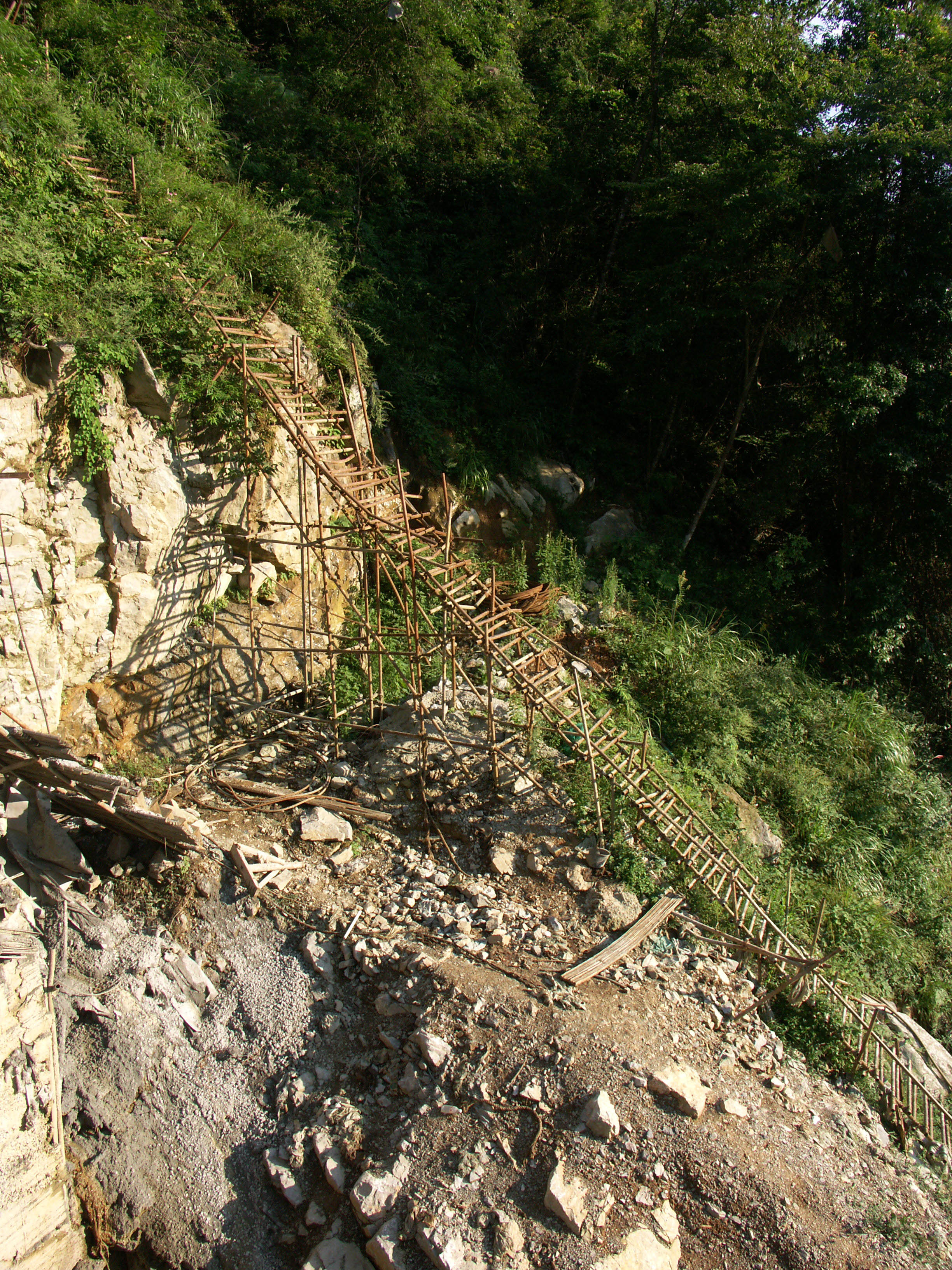
Temporary mountain ladder. Image by Eric Sakowski / HighestBridges.com
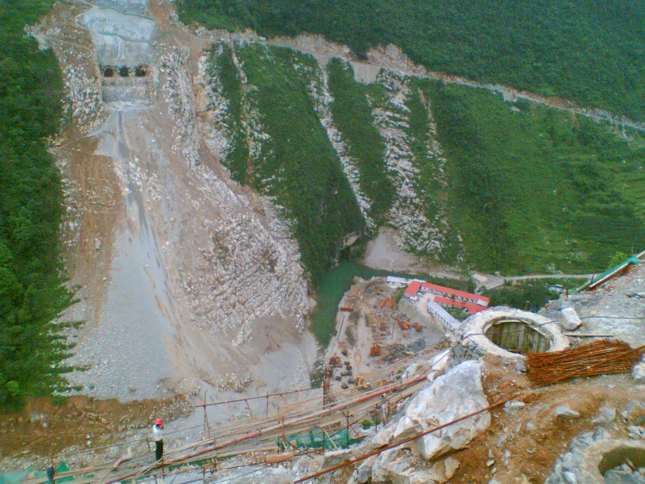
West side tunnel entrance and arch foundation. Image by Eric Sakowski / HighestBridges.com
Image by Eric Sakowski / HighestBridges.com
Image by Eric Sakowski / HighestBridges.com
Image by Eric Sakowski / HighestBridges.com
Image by Eric Sakowski / HighestBridges.com
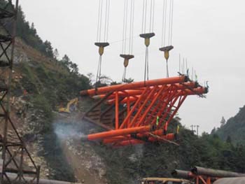
The first truss section of the arch is raised.
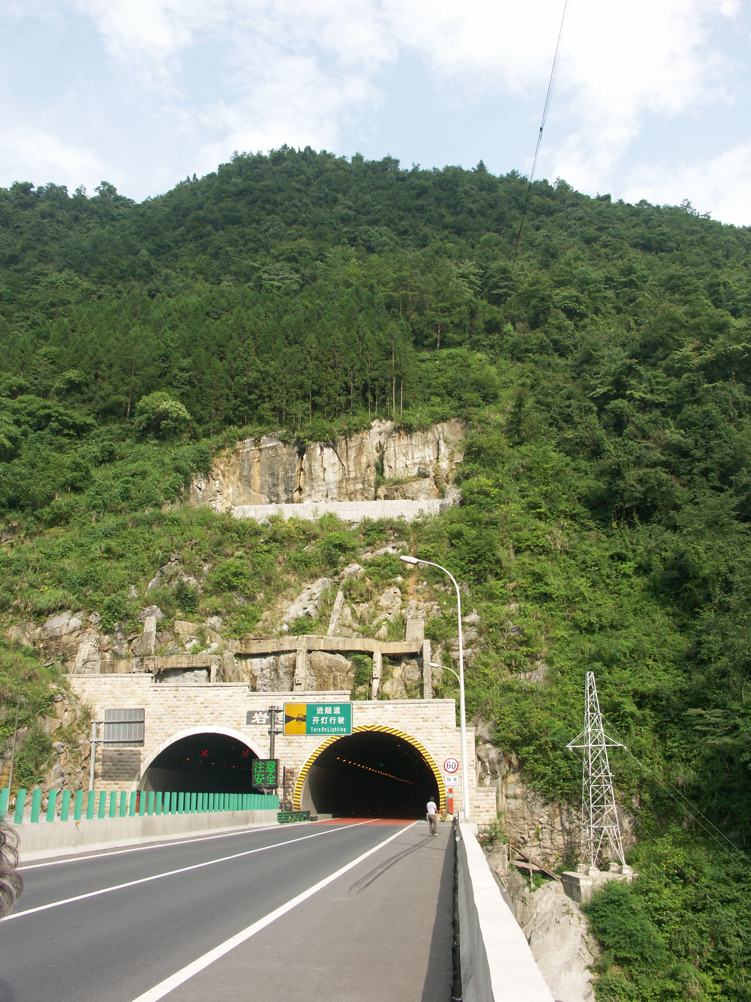
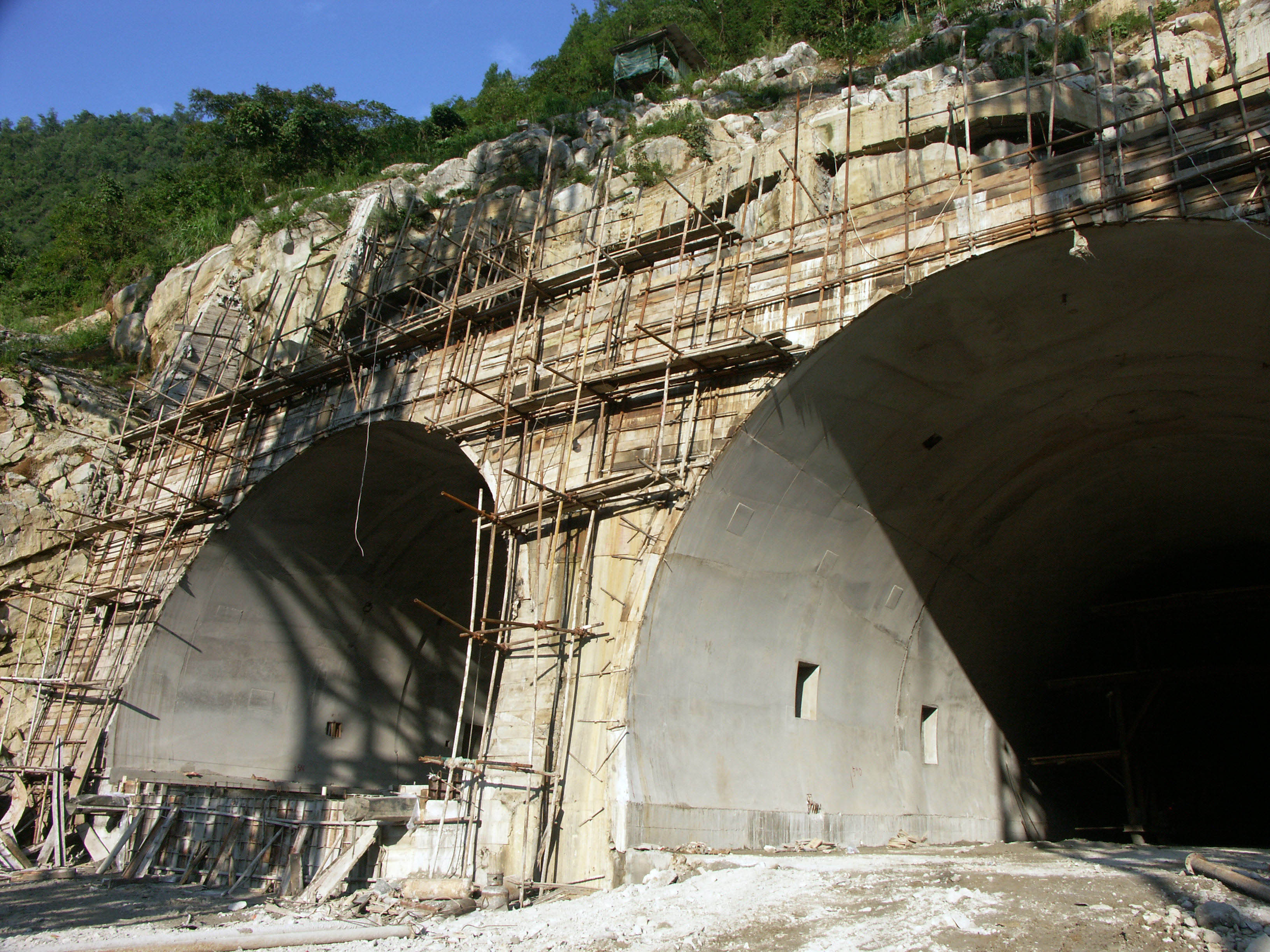
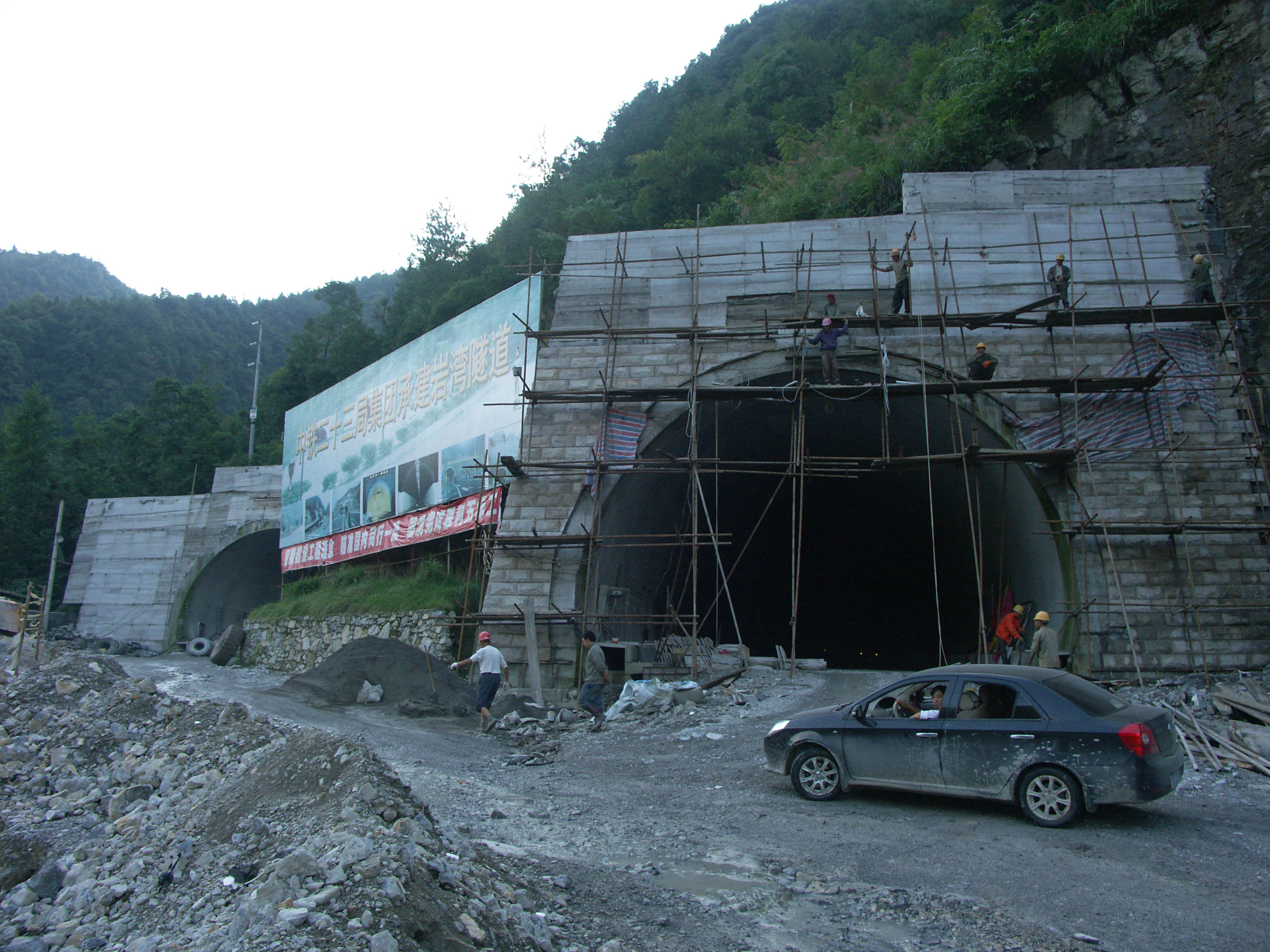
The east entrance to the Xiaohe tunnel. Each of the tubes is 2.5 kilometers / 1.5 miles long. Image by Eric Sakowski / HighestBridges.com
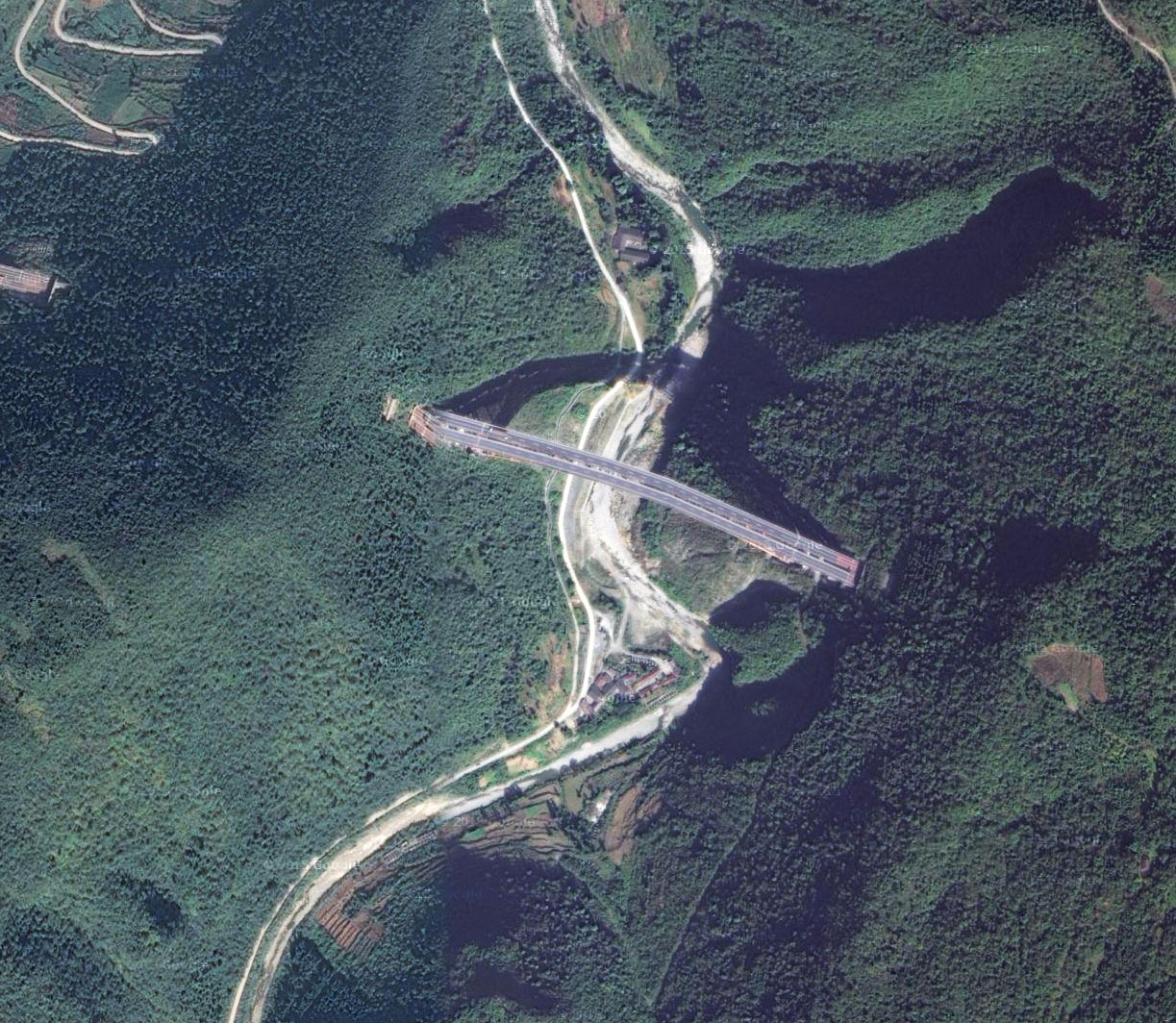
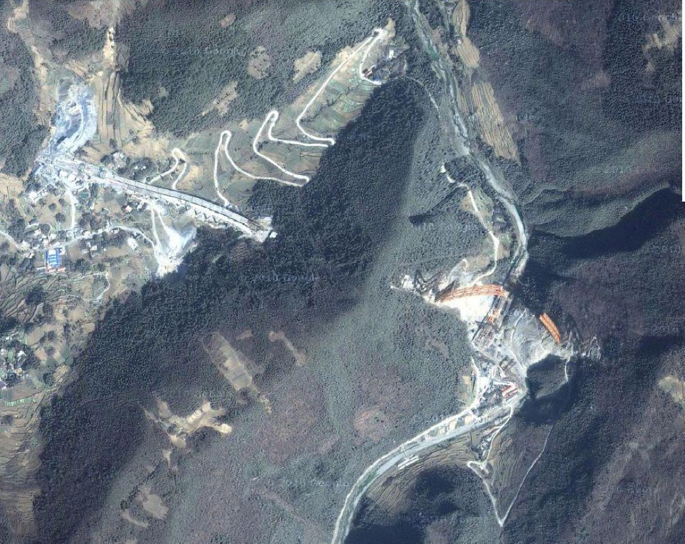
Xiaohe Bridge satellite image.
Xiaohe Bridge location map.
