Huajiang Grand Canyon Bridge
Huajiang Grand Canyon Bridge
花江峡谷特大桥
Beipanjiangzhen, Zhenfeng, Guizhou, China
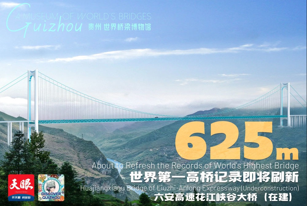
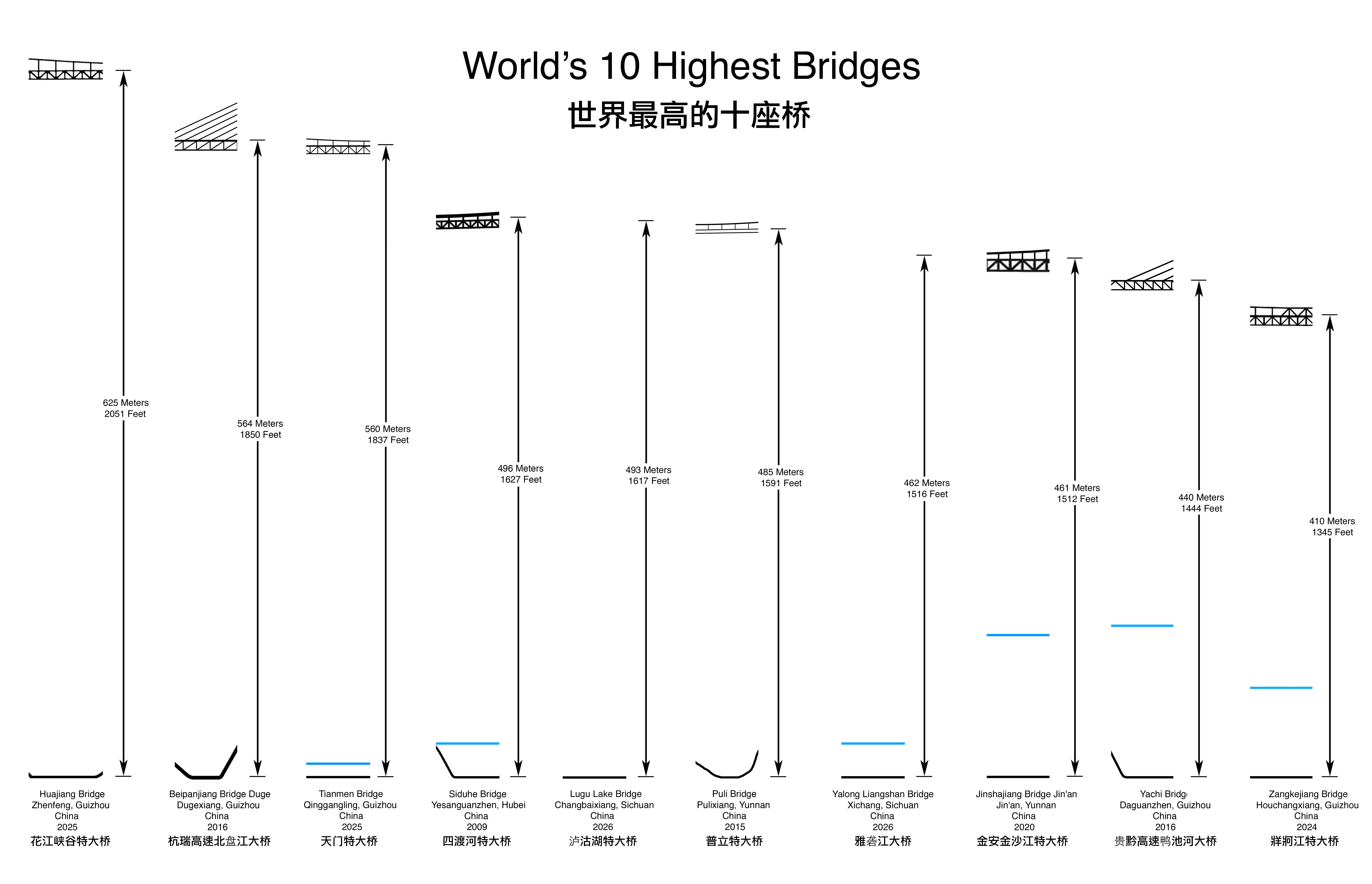
2,051 feet high / 625 meters high
4,659 foot span / 1,420 meter span
2025
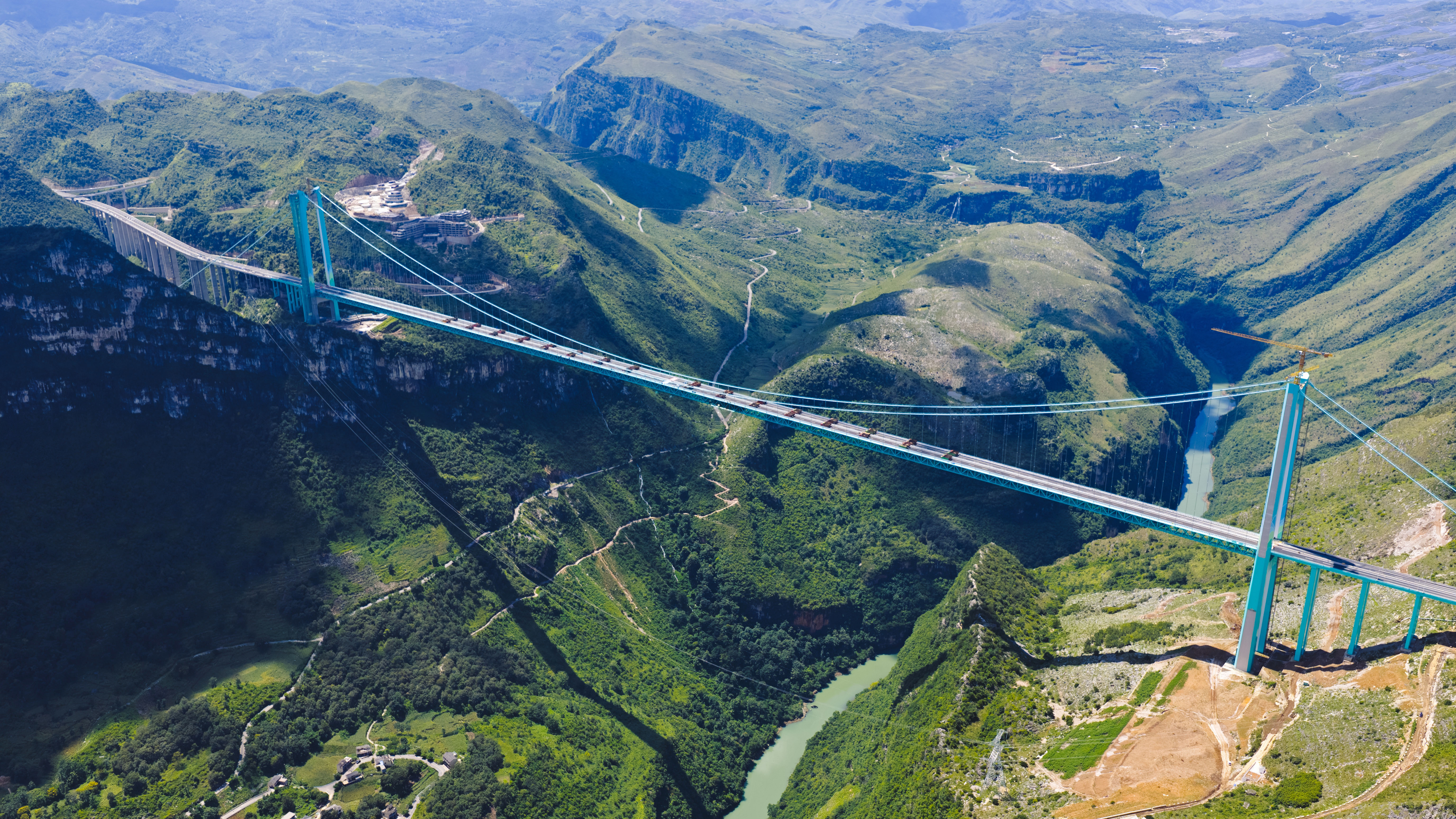
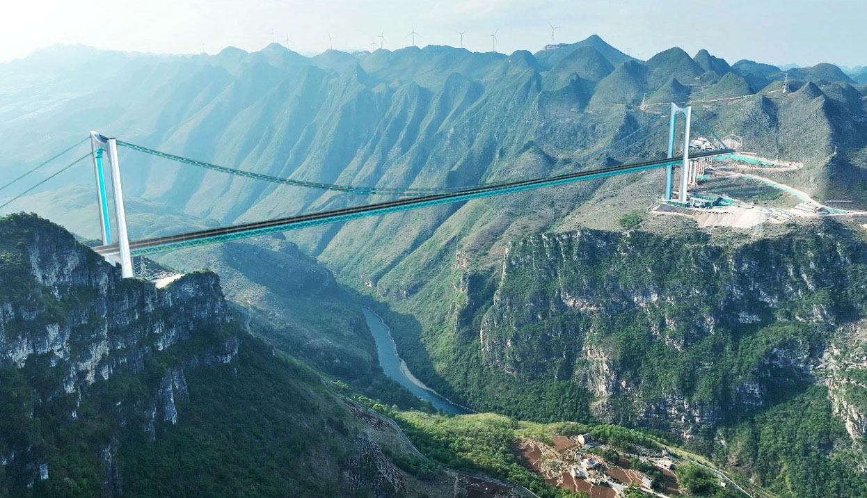
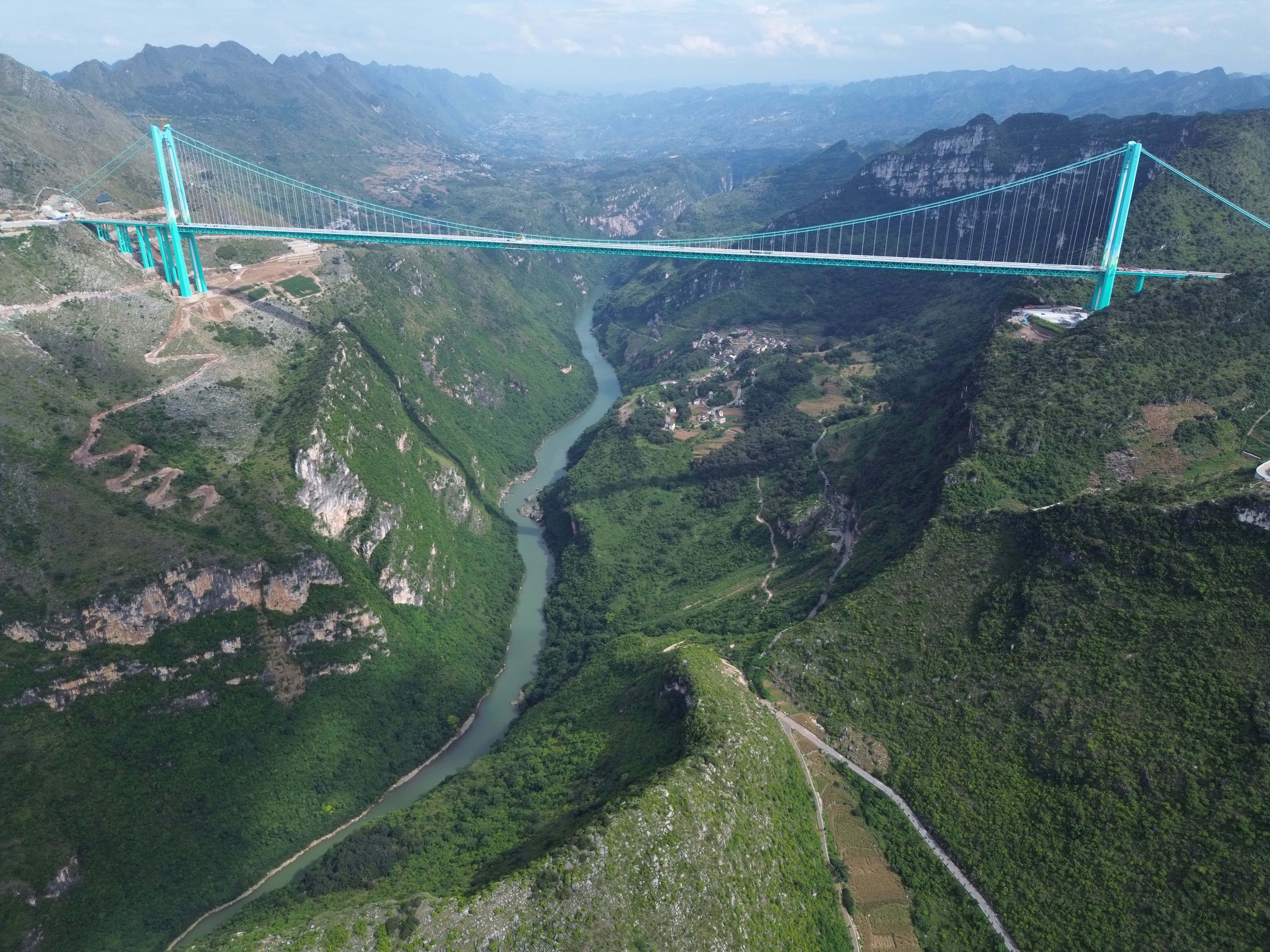
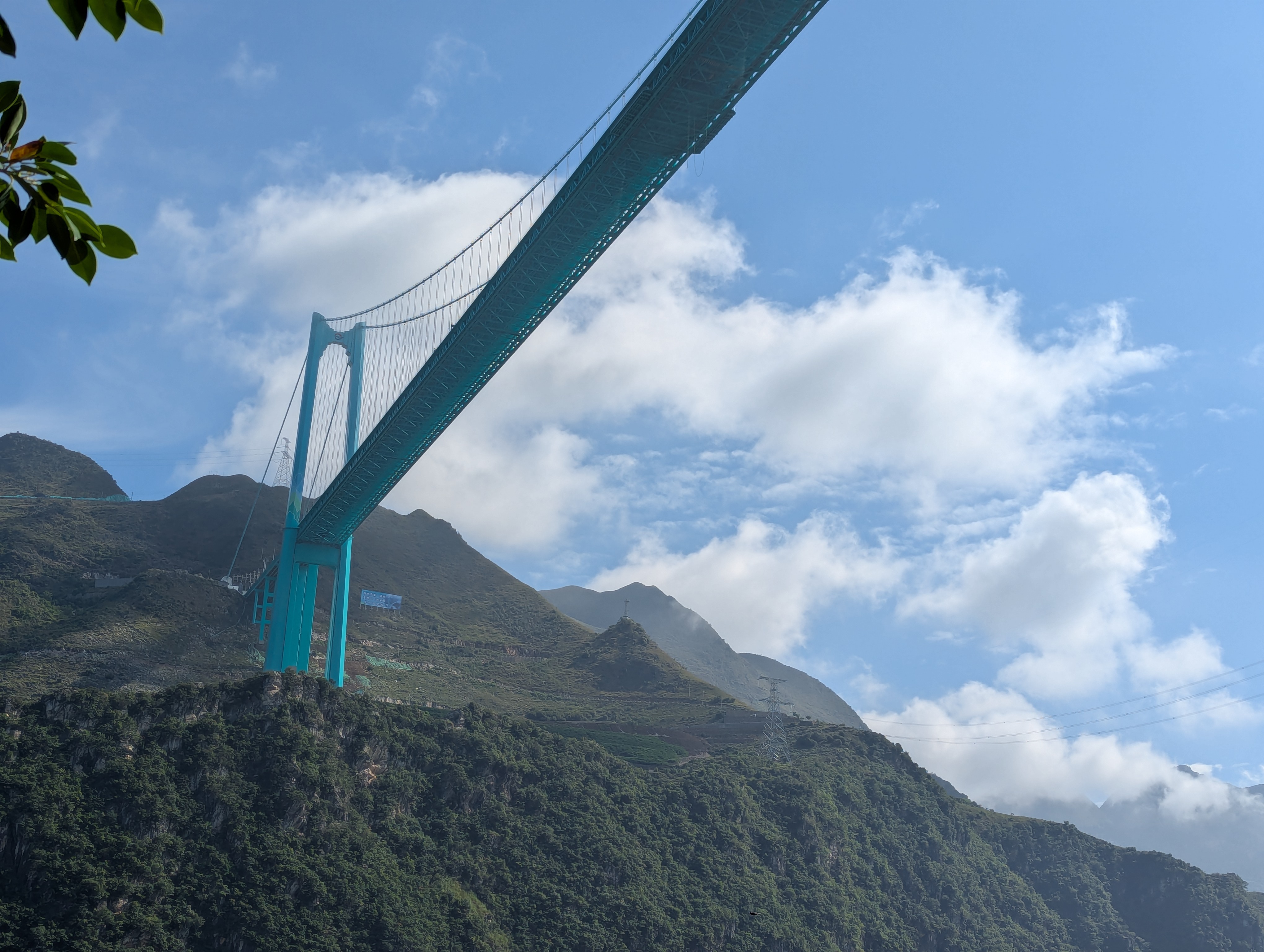
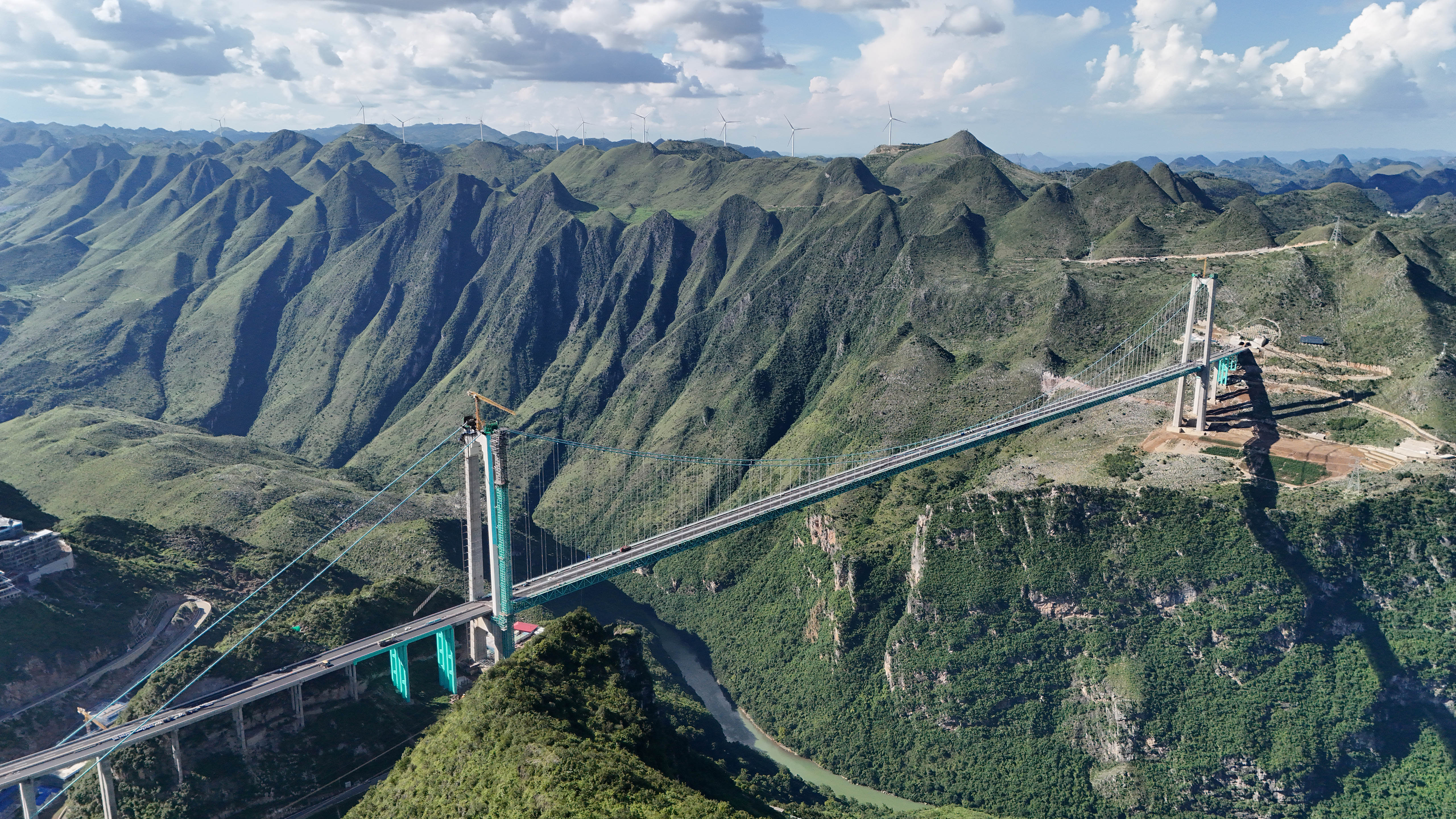
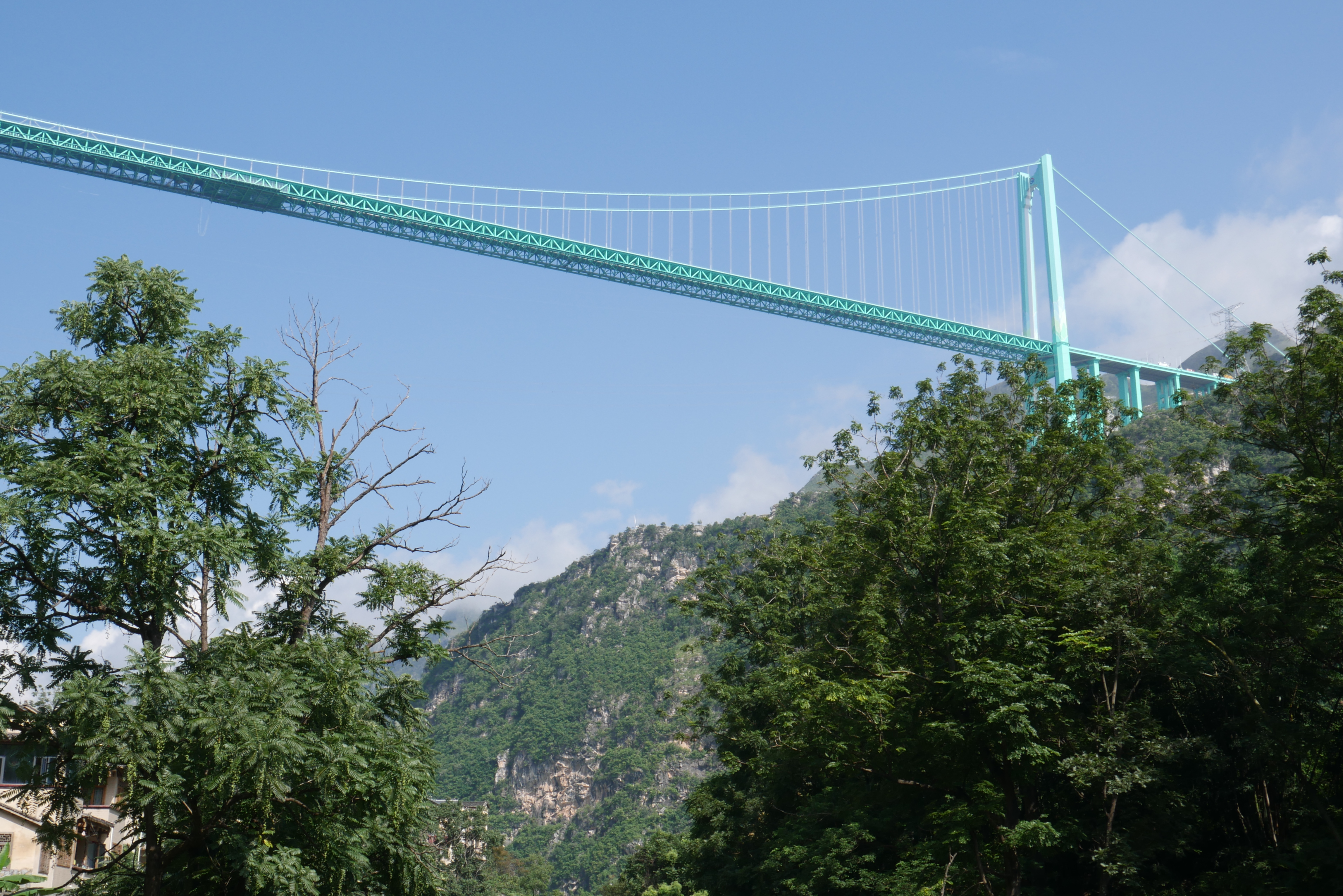
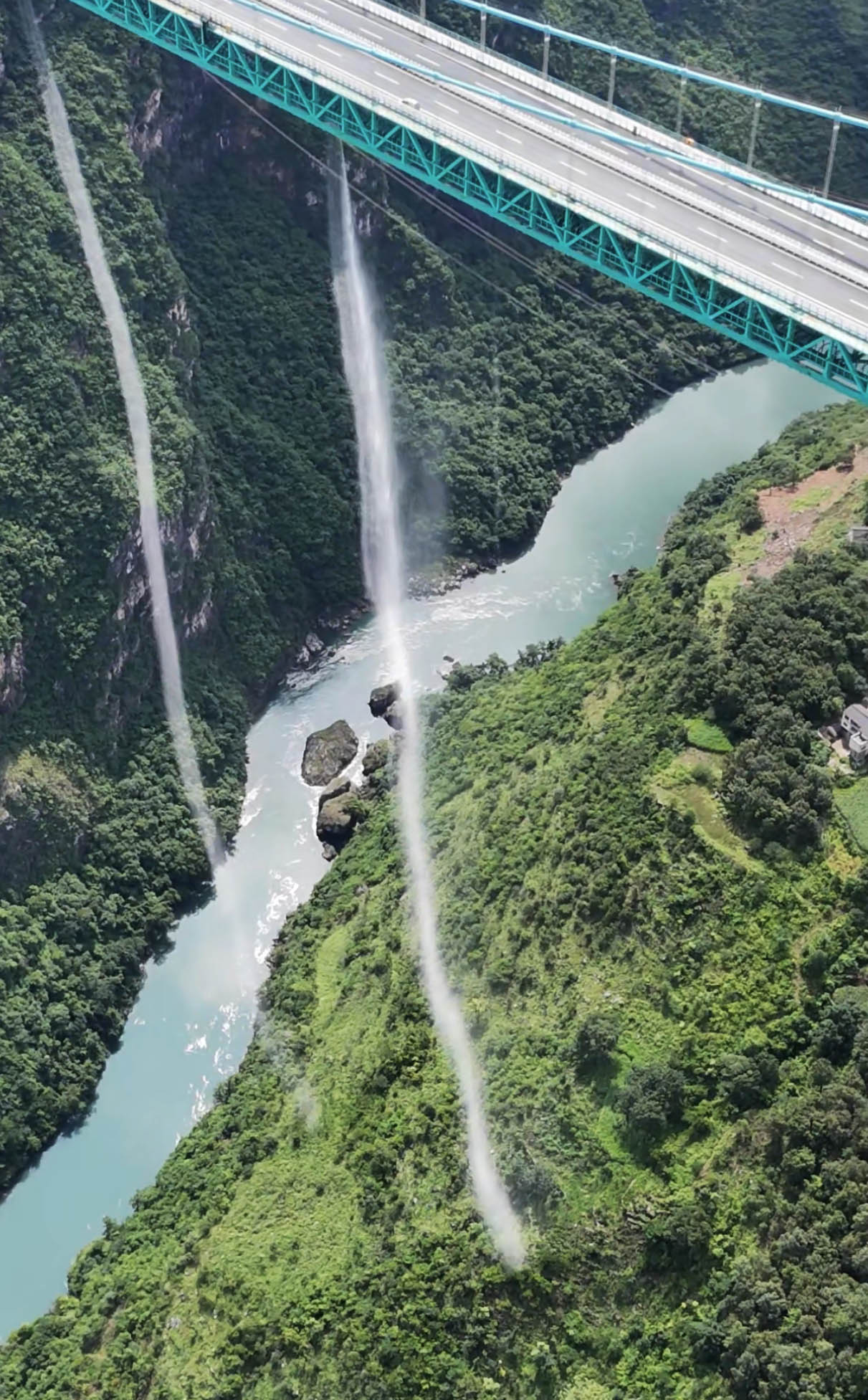
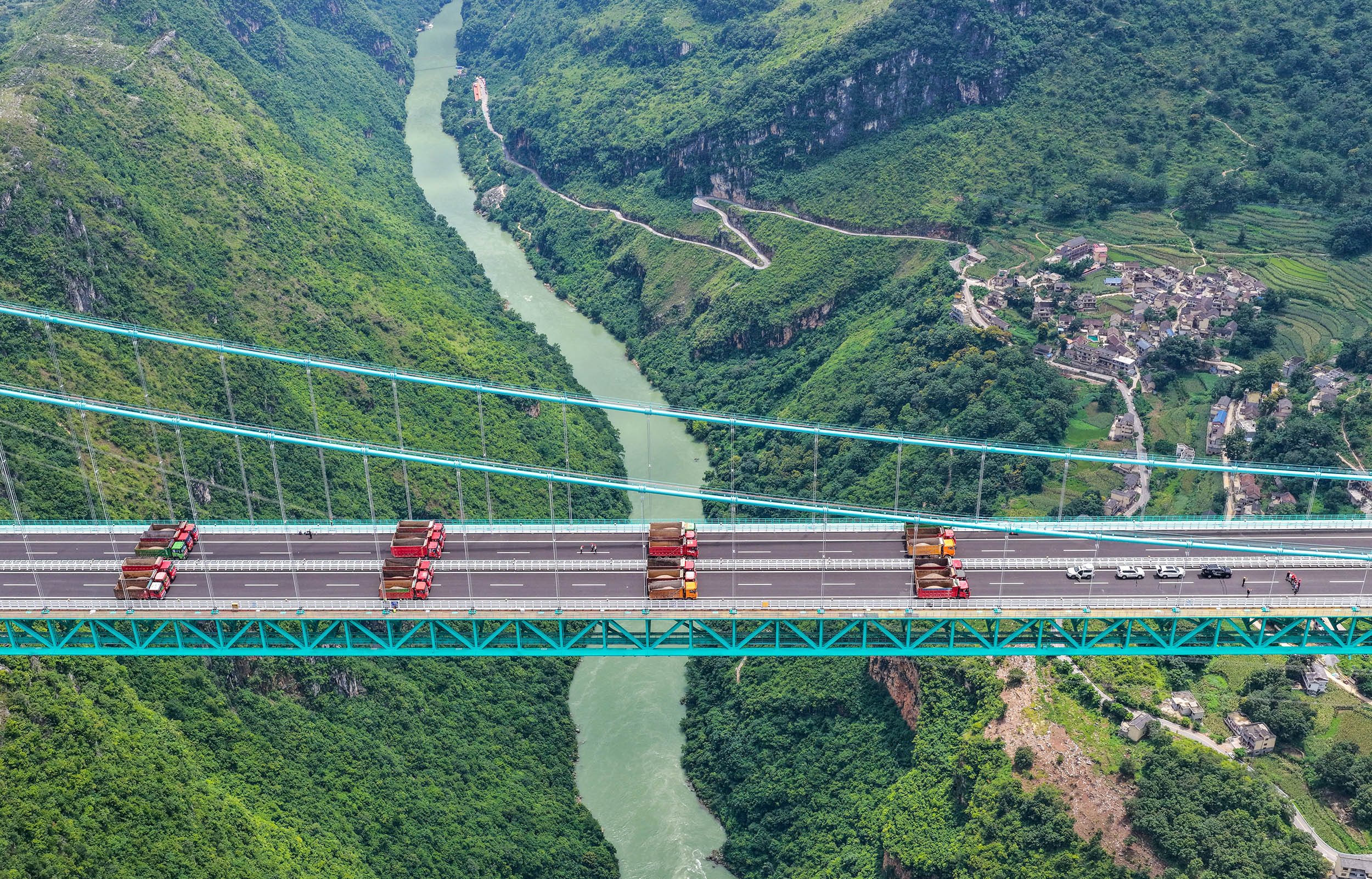
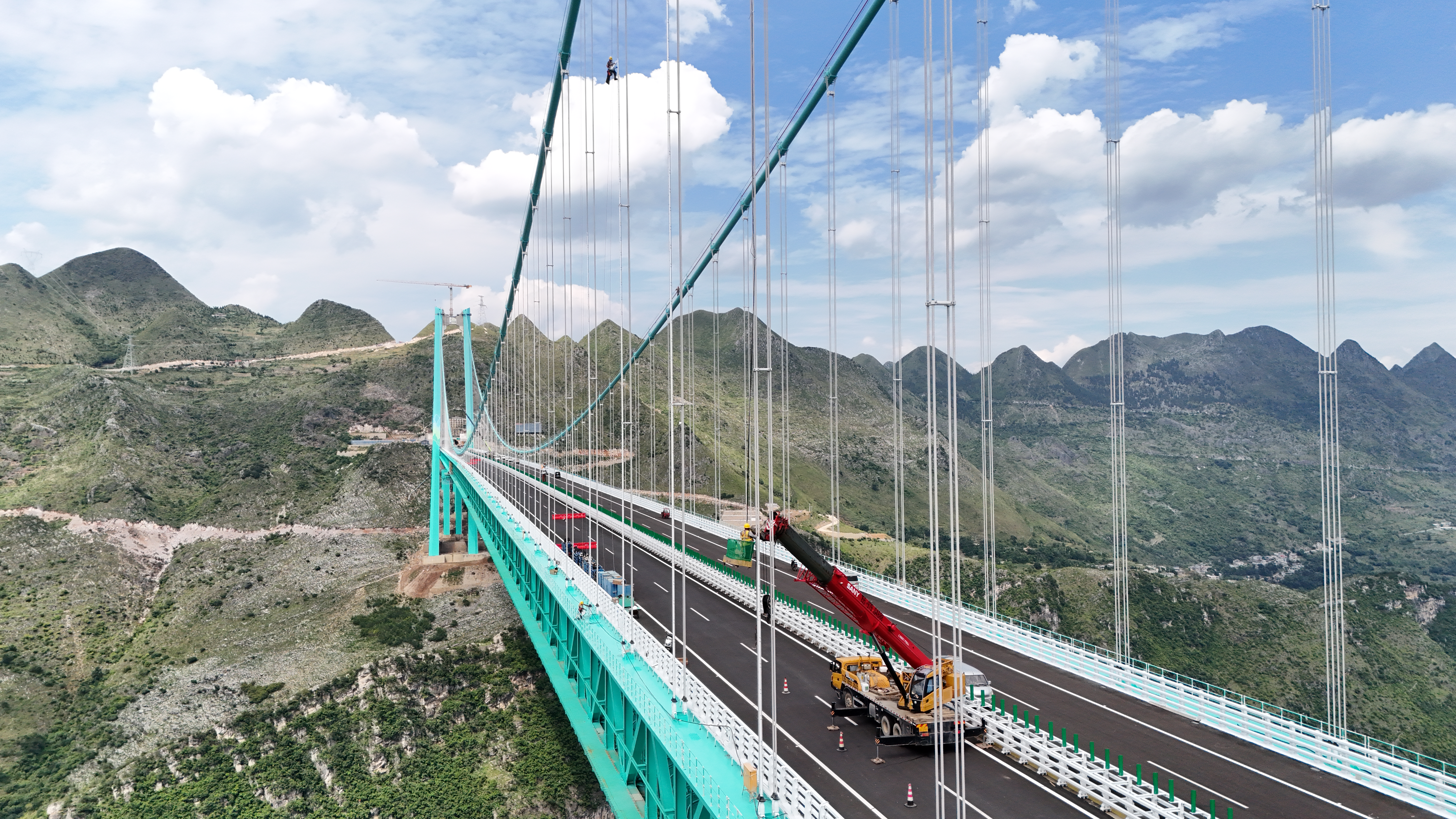
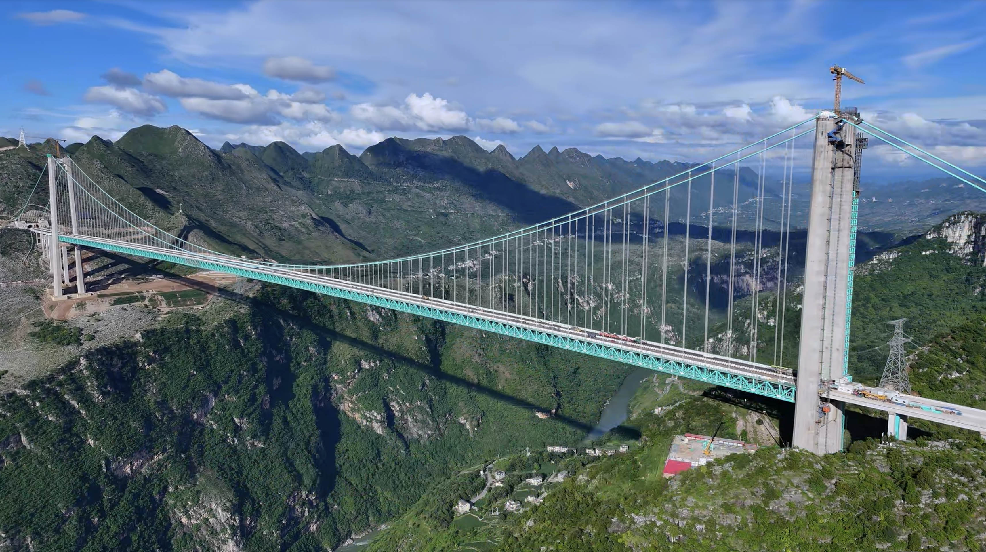
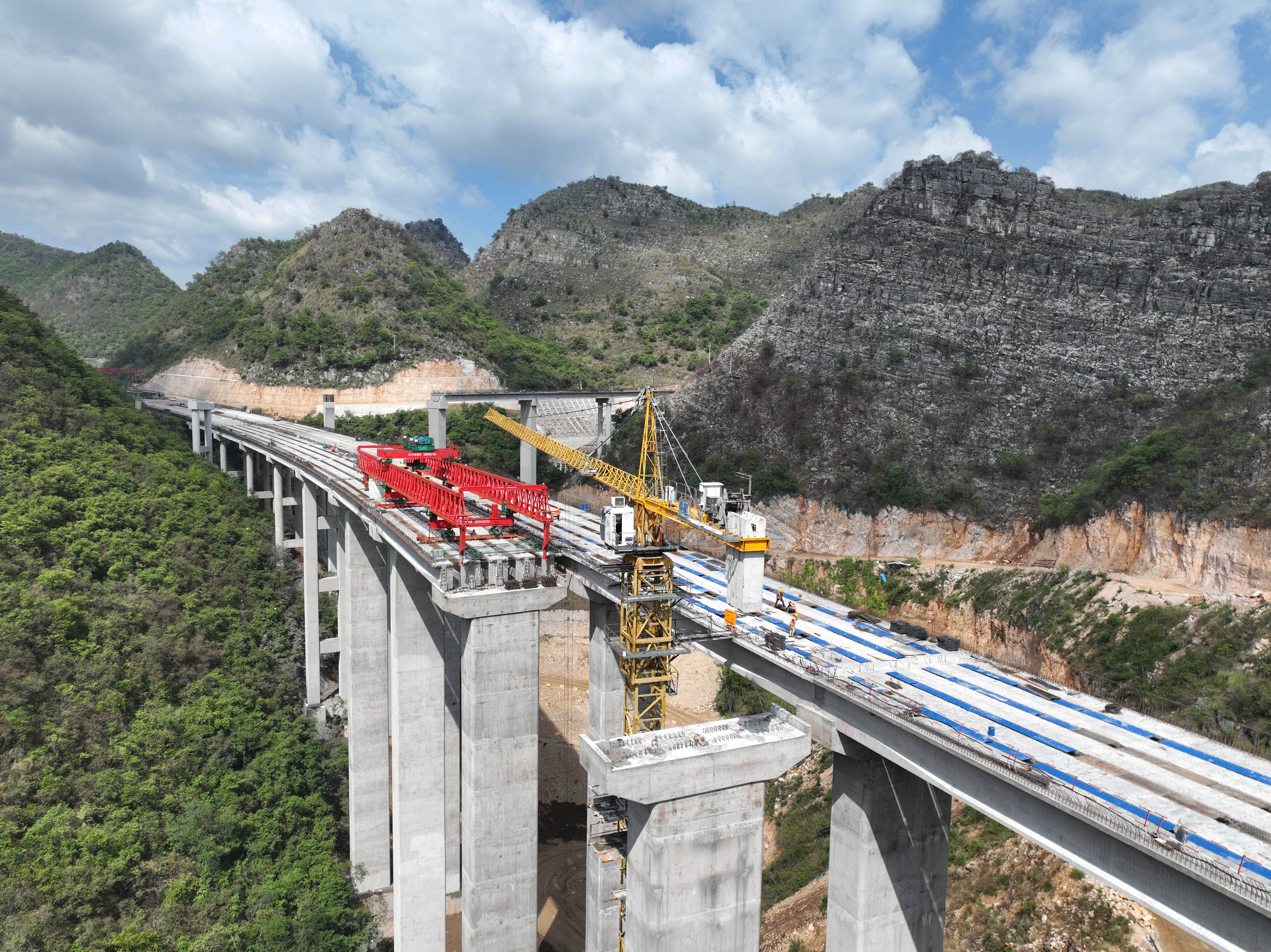
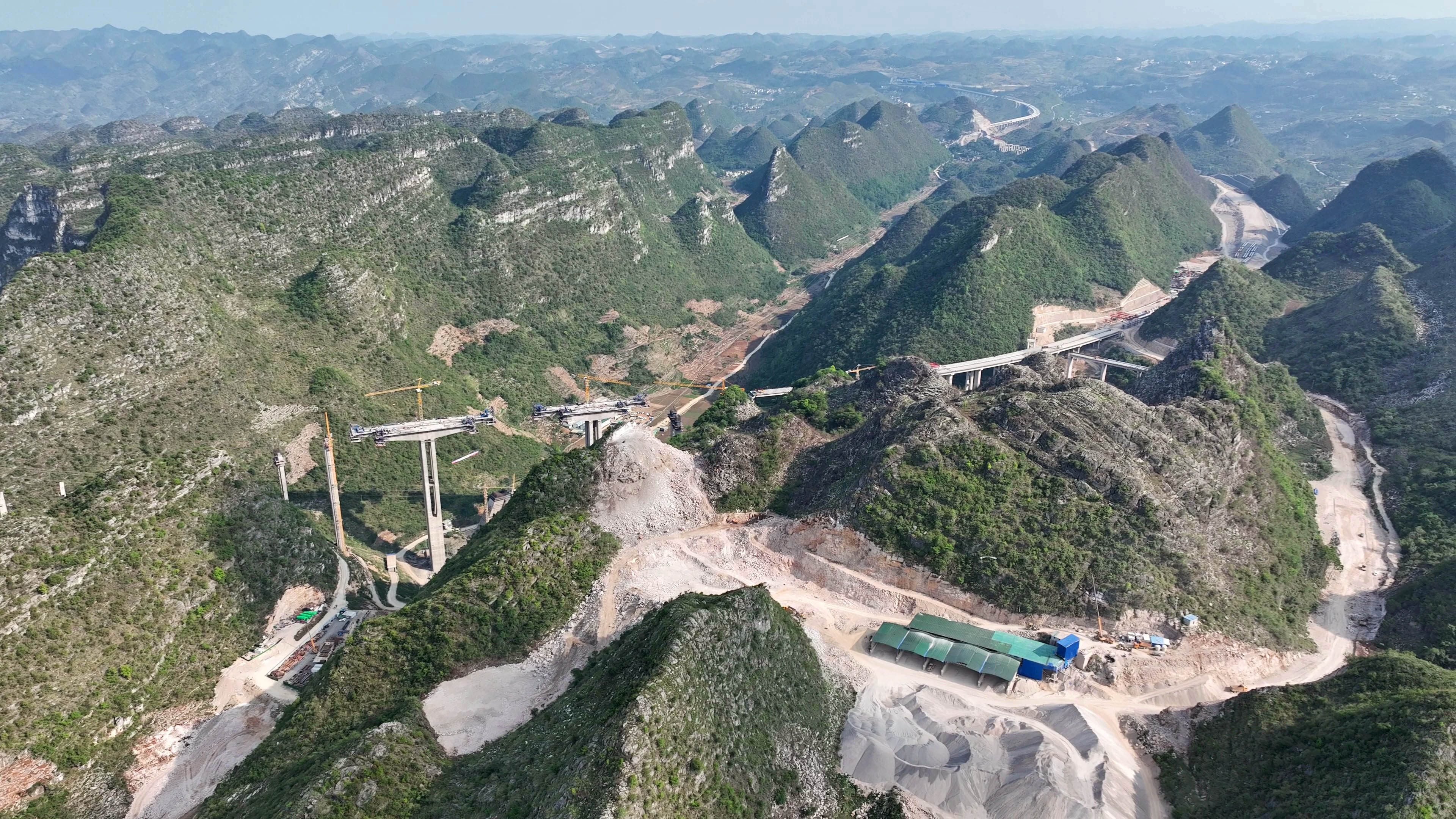
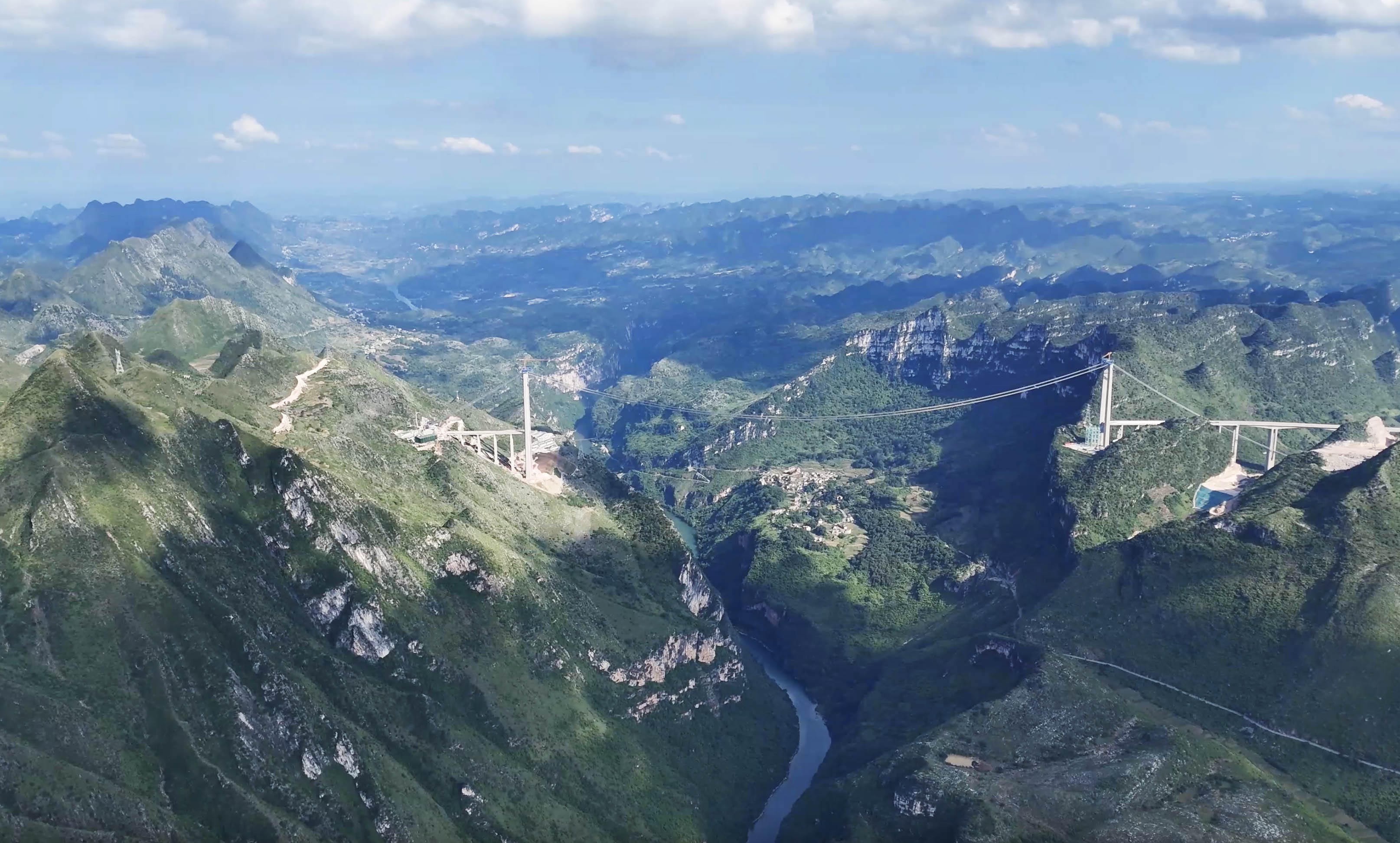
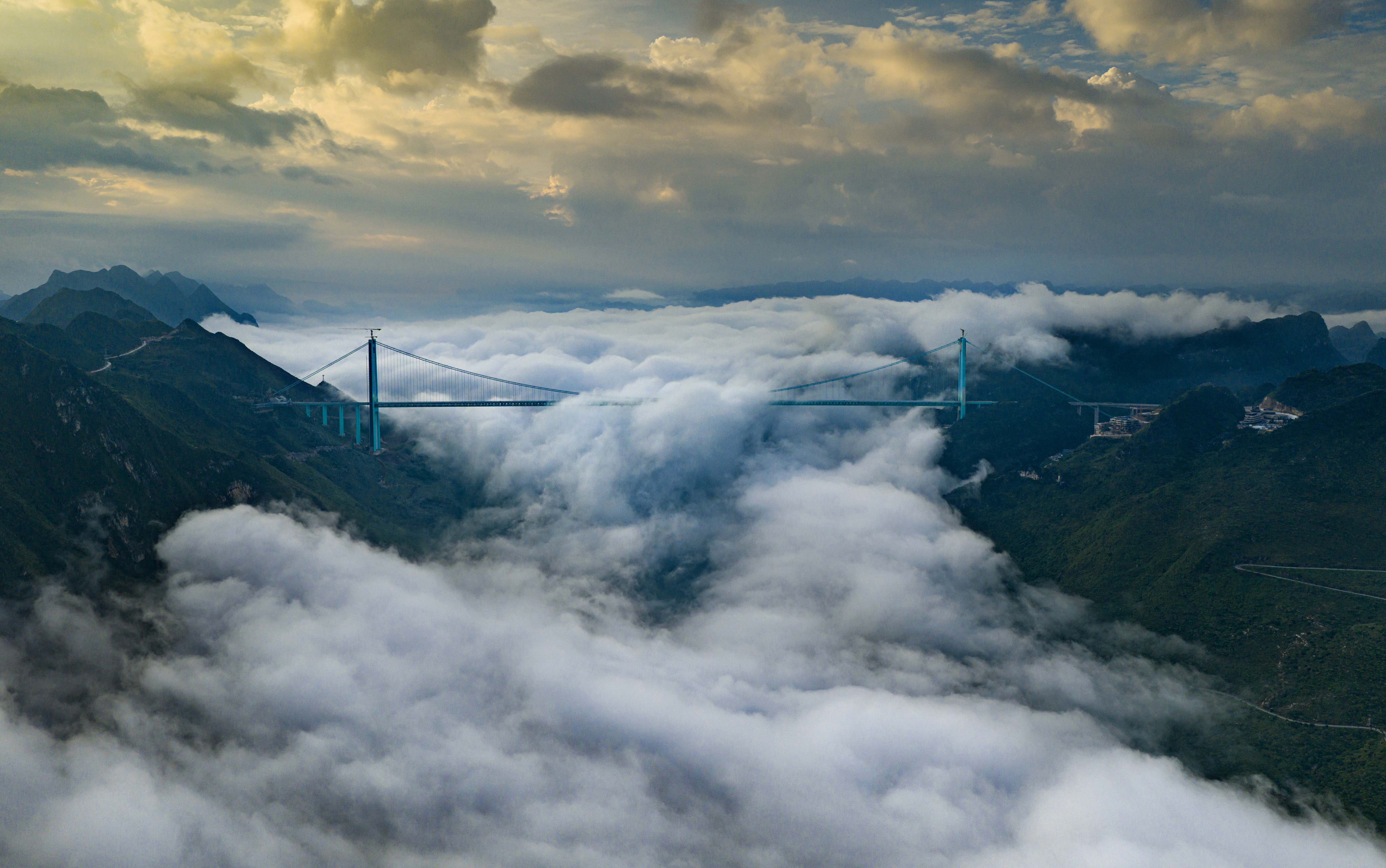
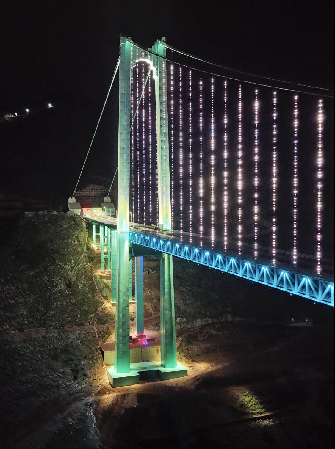
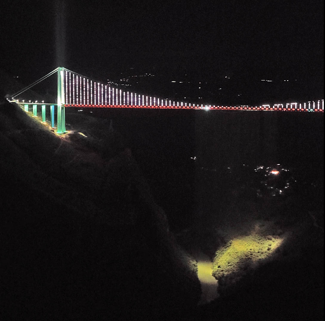
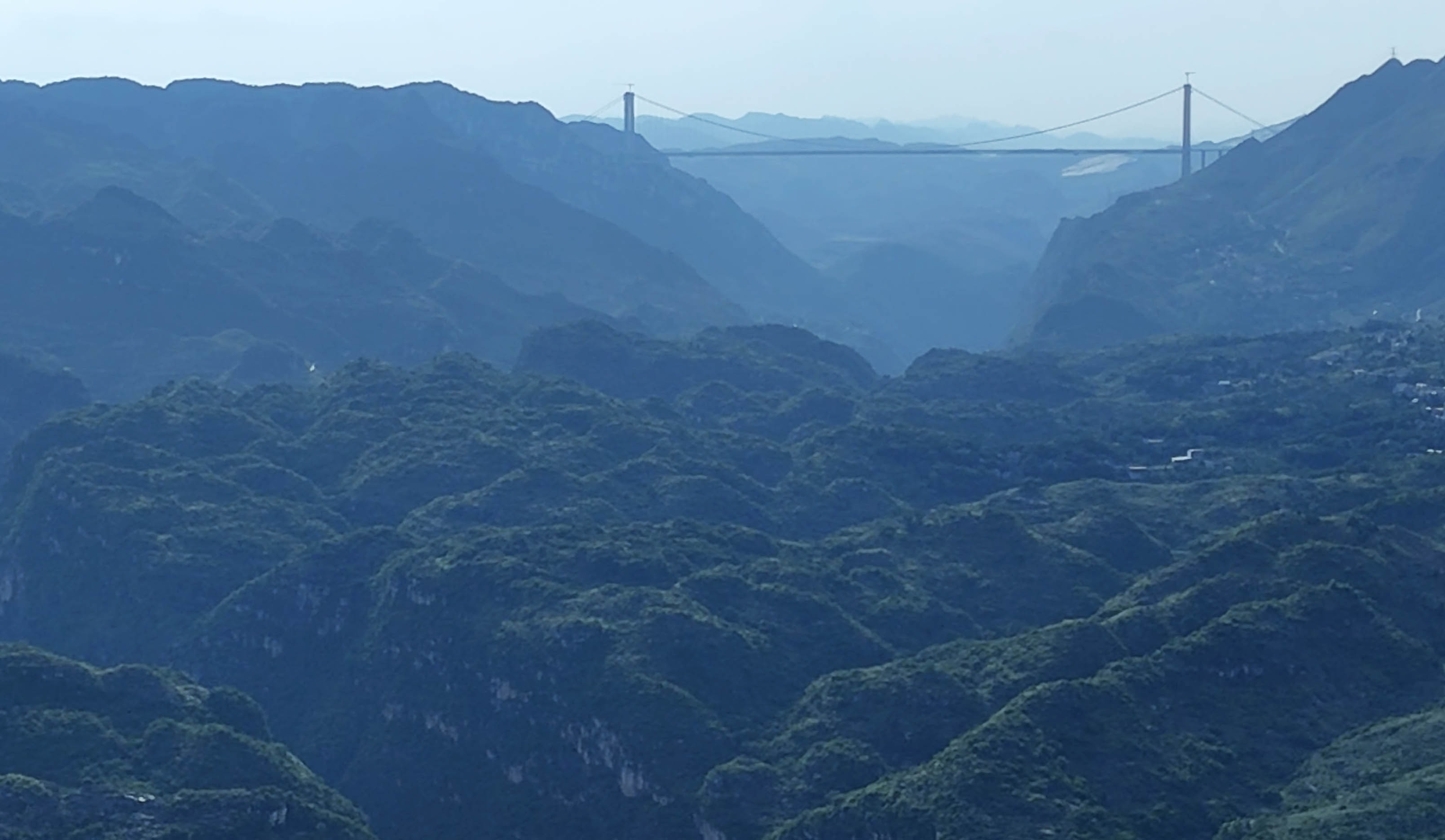
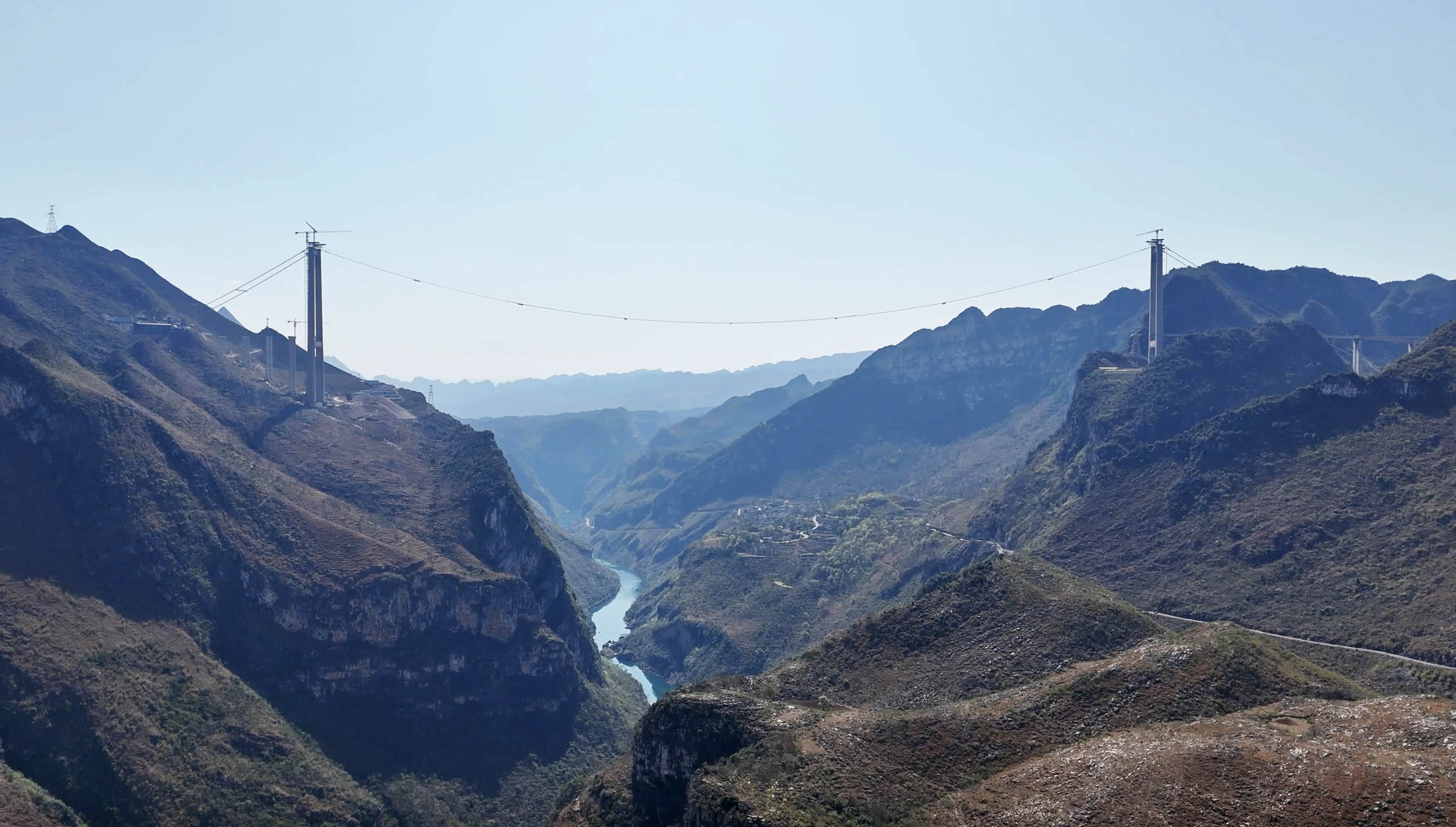
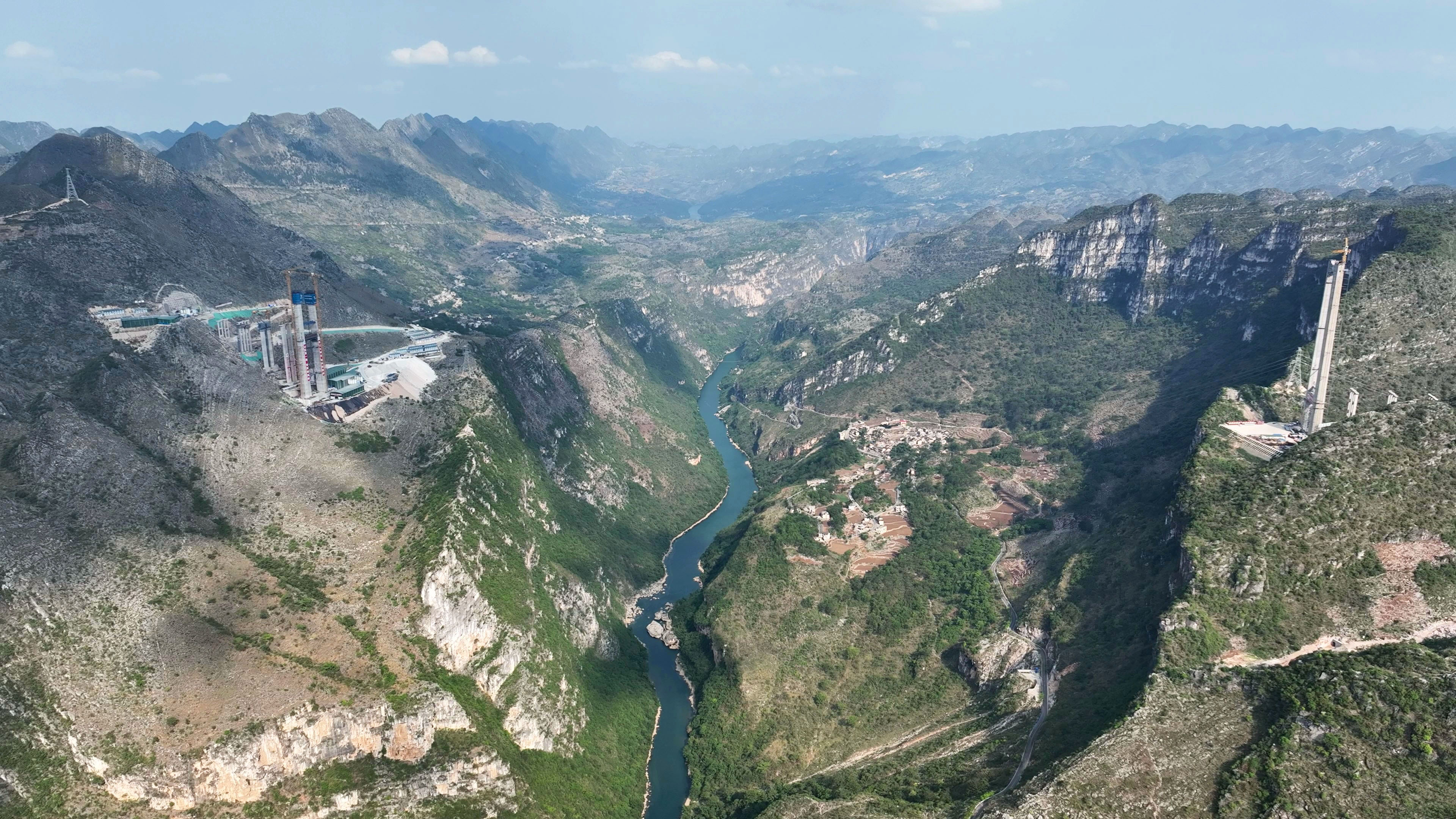
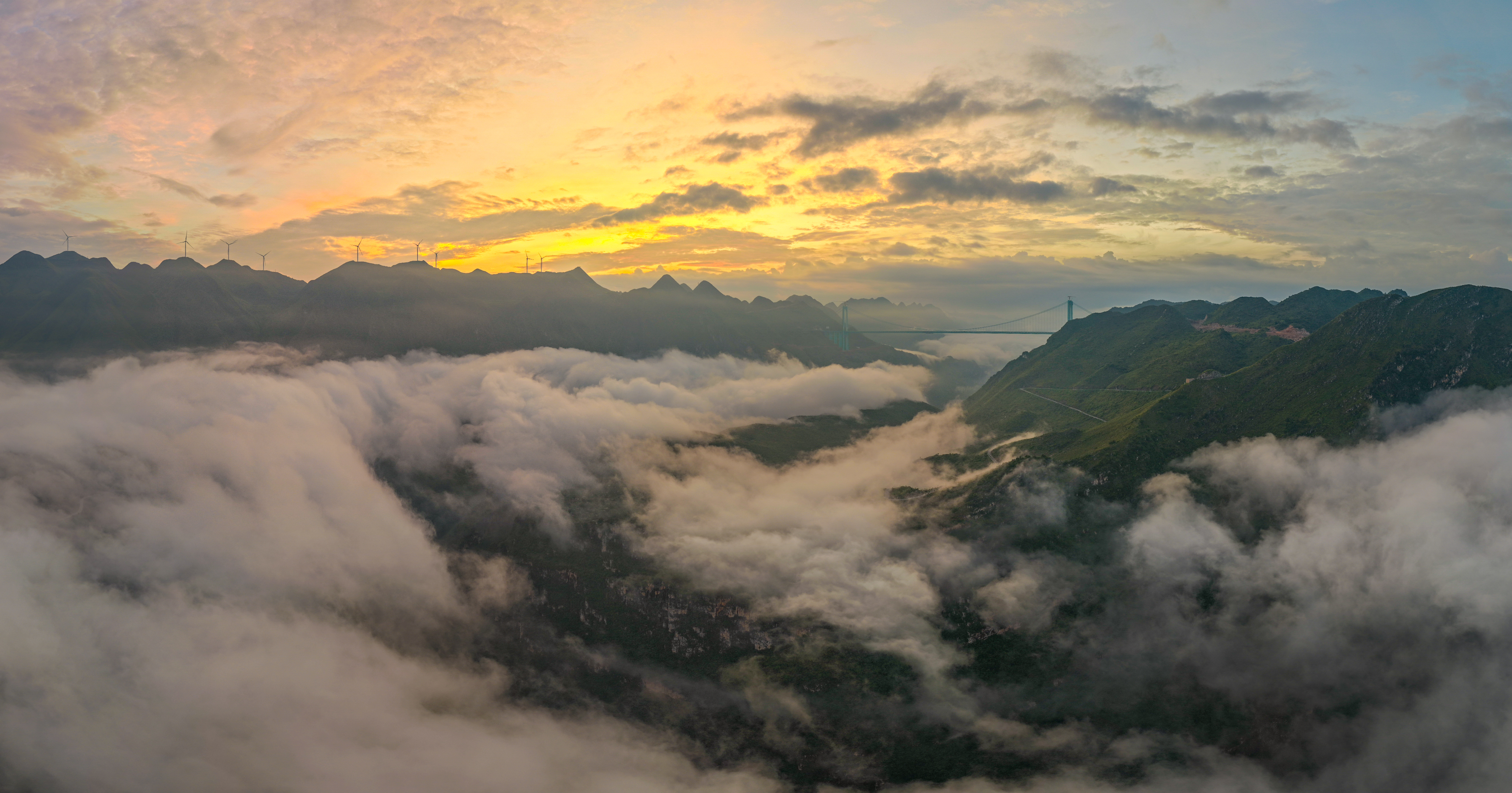
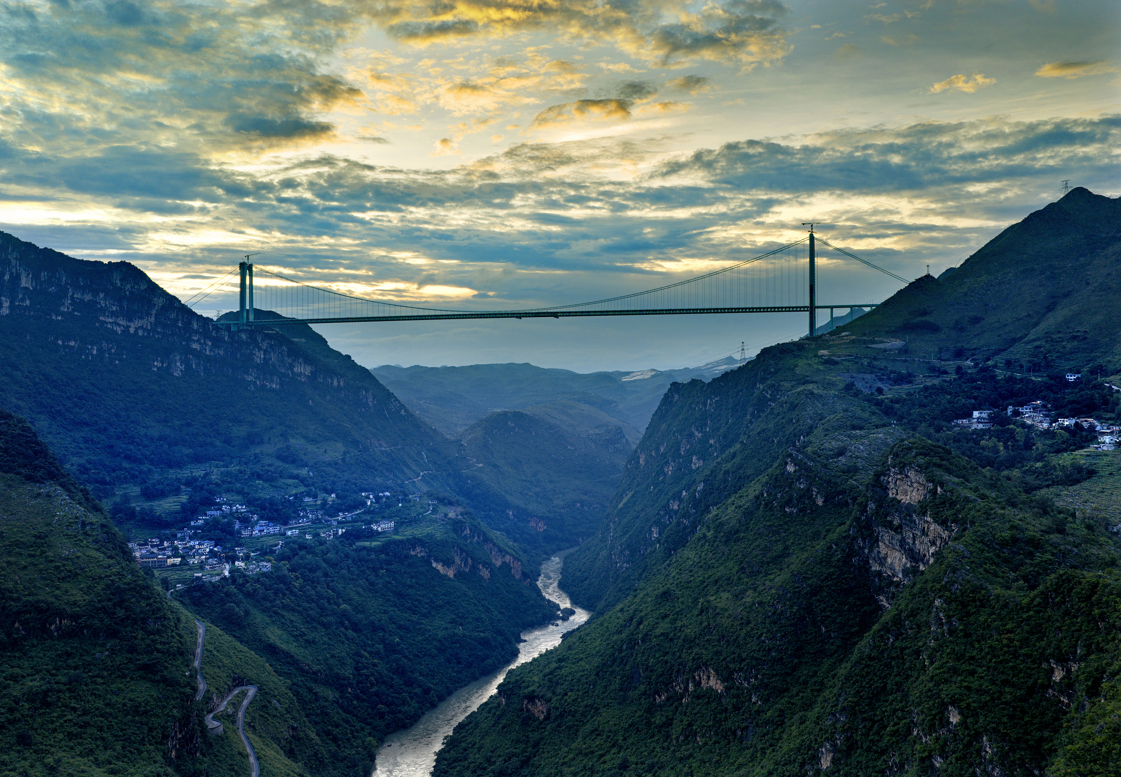
The Chinese Province of Guizhou is known for having the greatest collection of high level bridges in the world but even for this mountainous Province, the Huajiang Grand Canyon Bridge is in a league of its own. Located along the Liuzhi to Anlong Expressway that began construction in 2021, the greatest obstacle along this route was a river that has become synonymous with high level bridge crossings – The Beipanjiang.
The Beipan or North Winding River is the only waterway in the world to have not one, not two, but now three successive world’s highest bridge records. The first was in 2003 when the Beipanjiang Guanxing Bridge became the first suspension bridge in the world to surpass the 1,000 foot height barrier. Then in 2016 the Beipanjiang Duge Bridge blew past the 500 meter height barrier with a cable stayed span that was built with an innovative truss traveler. Now, almost 10 years later, the deepest part of the Beipan River has been crossed with the longest high level bridge in history while also shattering the 2,000 foot height barrier for the first time.
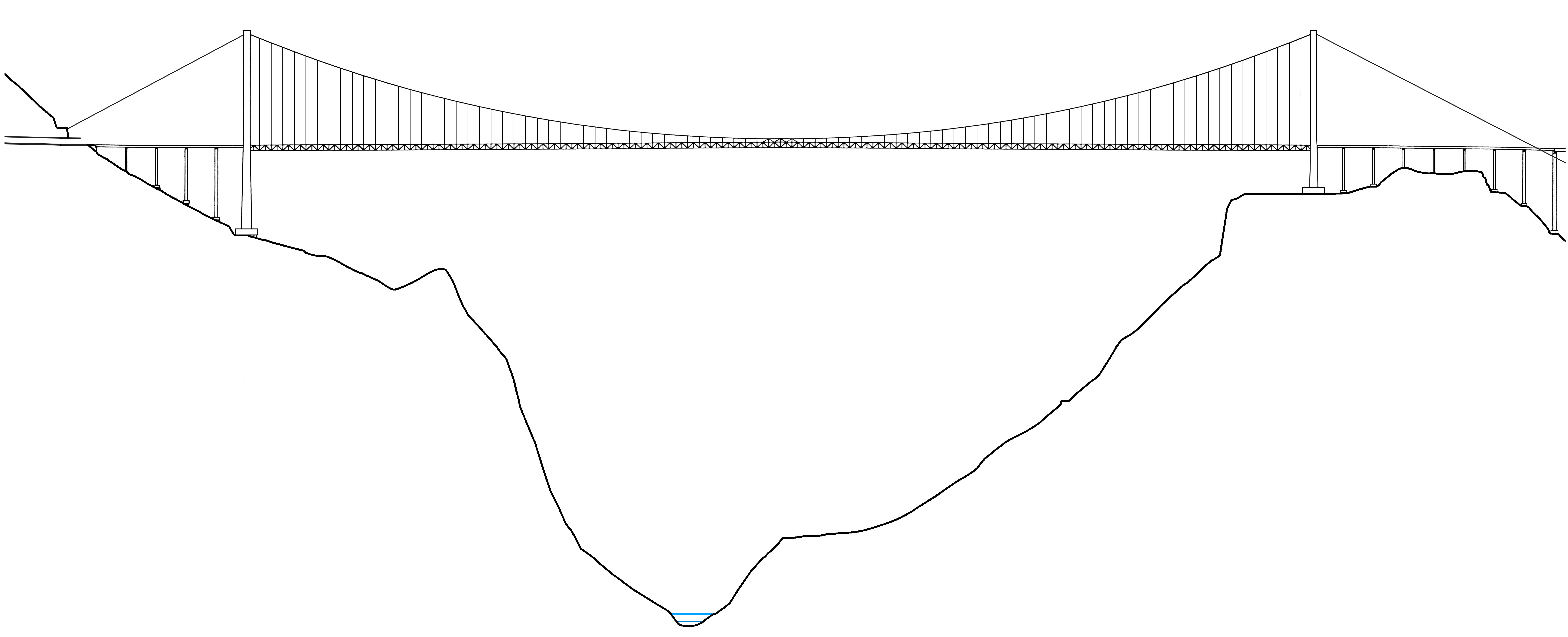
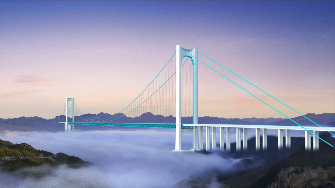
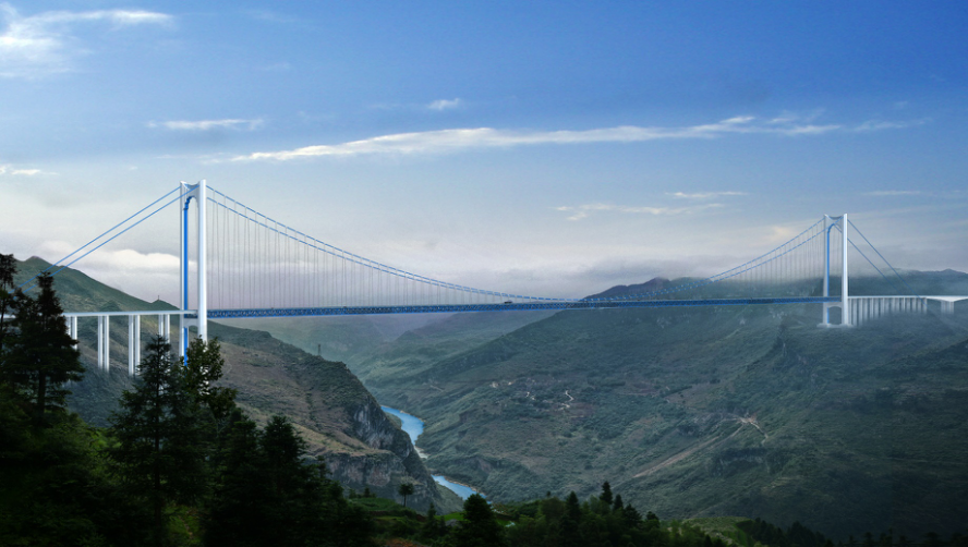
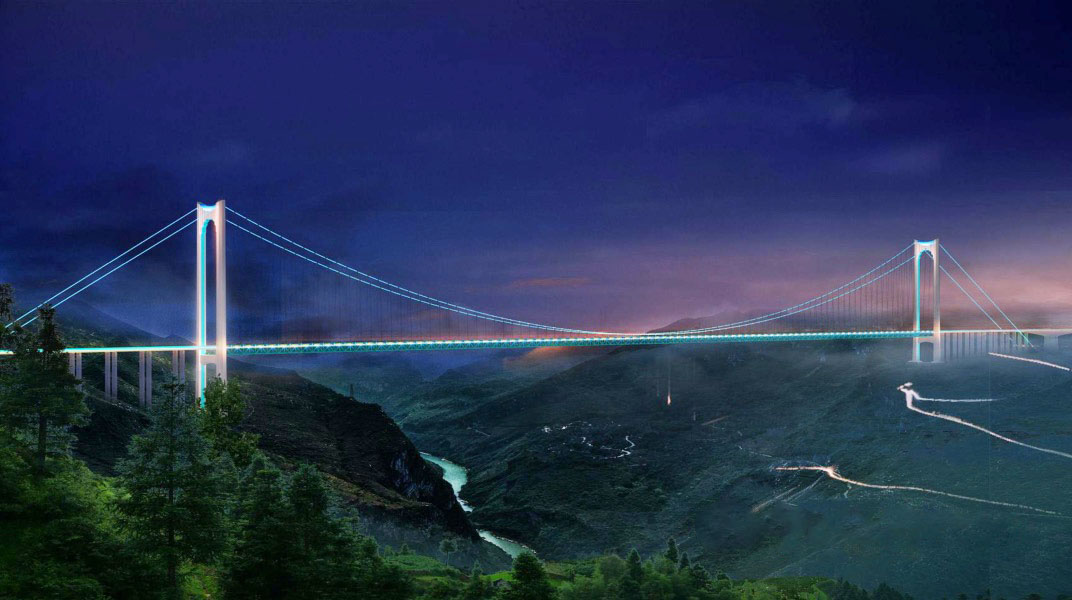
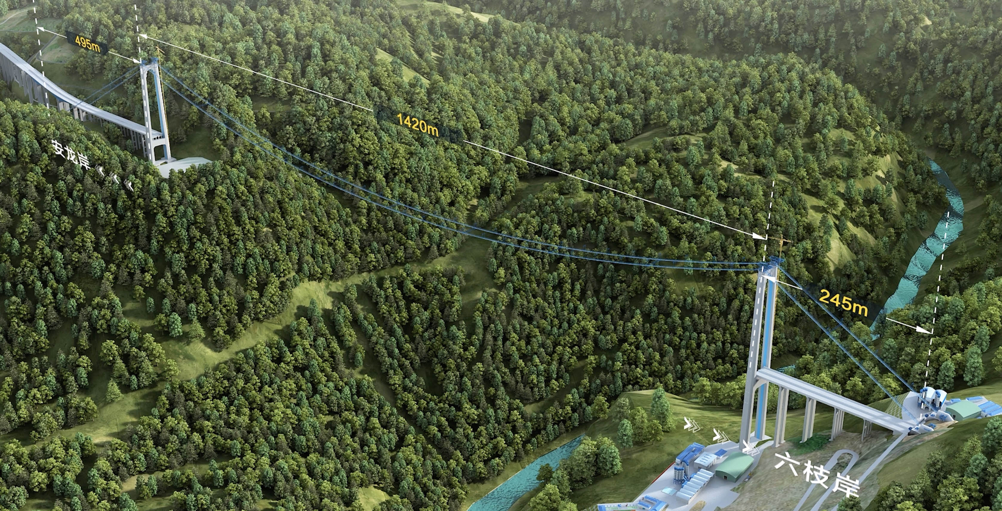
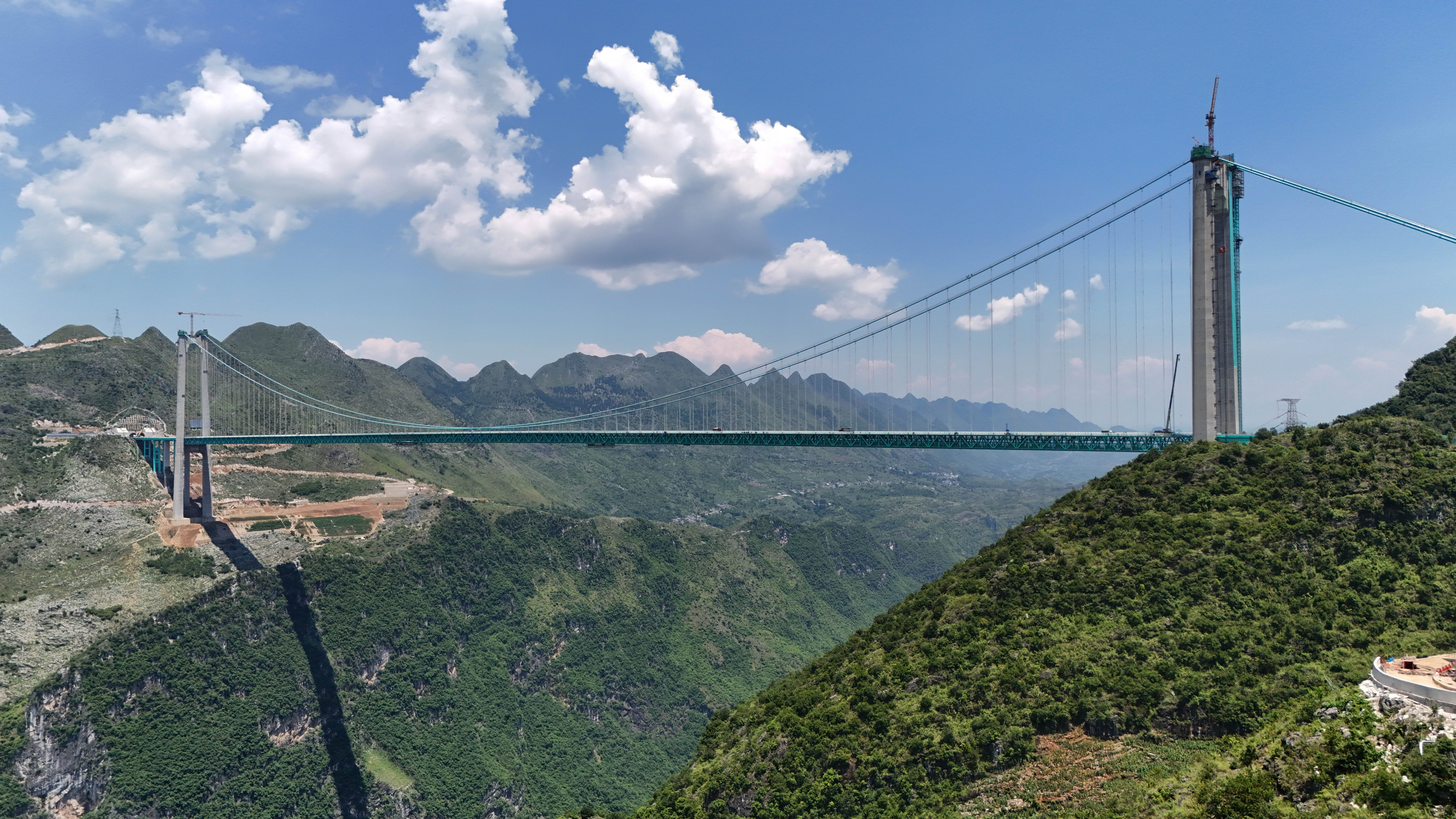
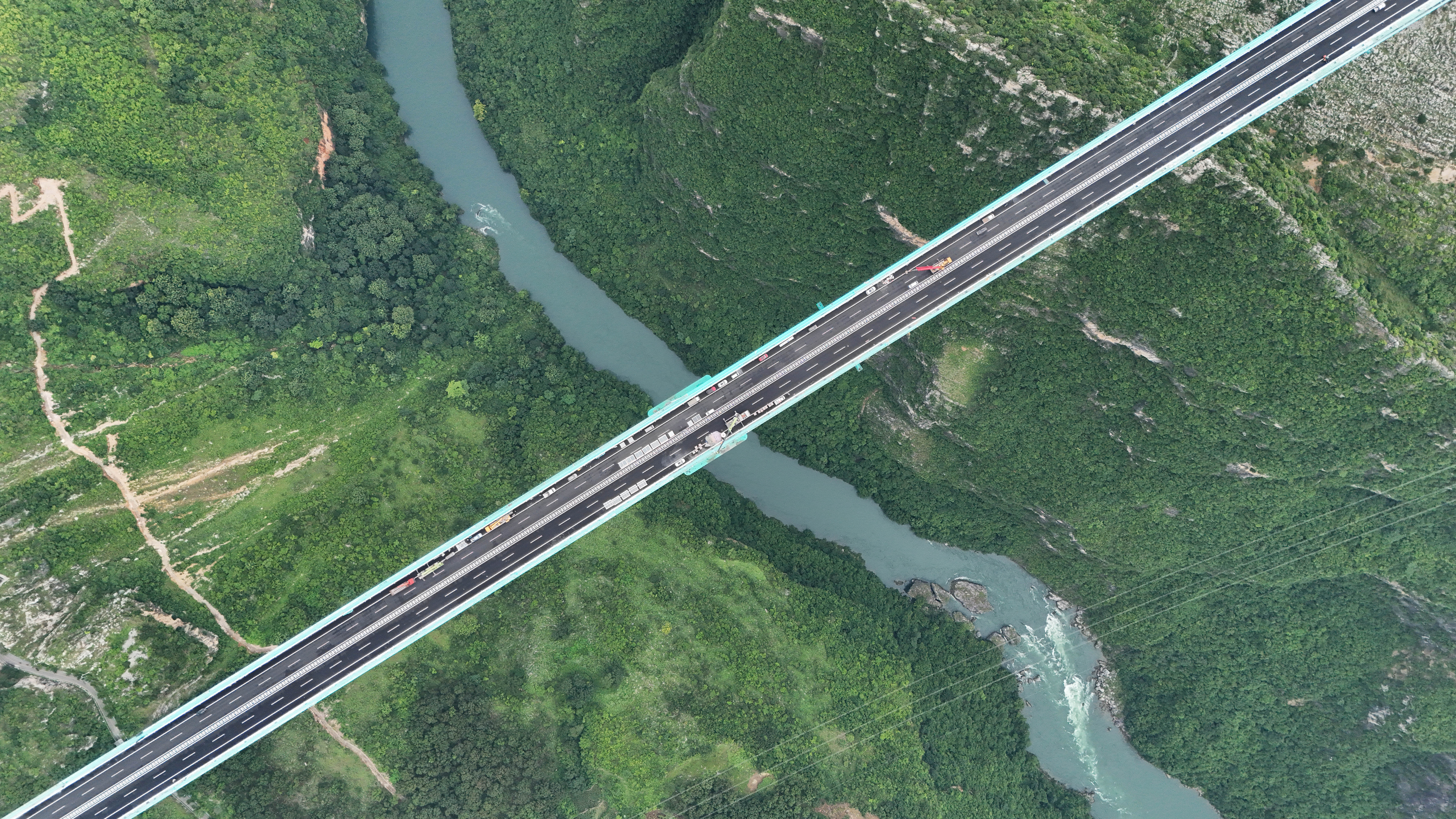
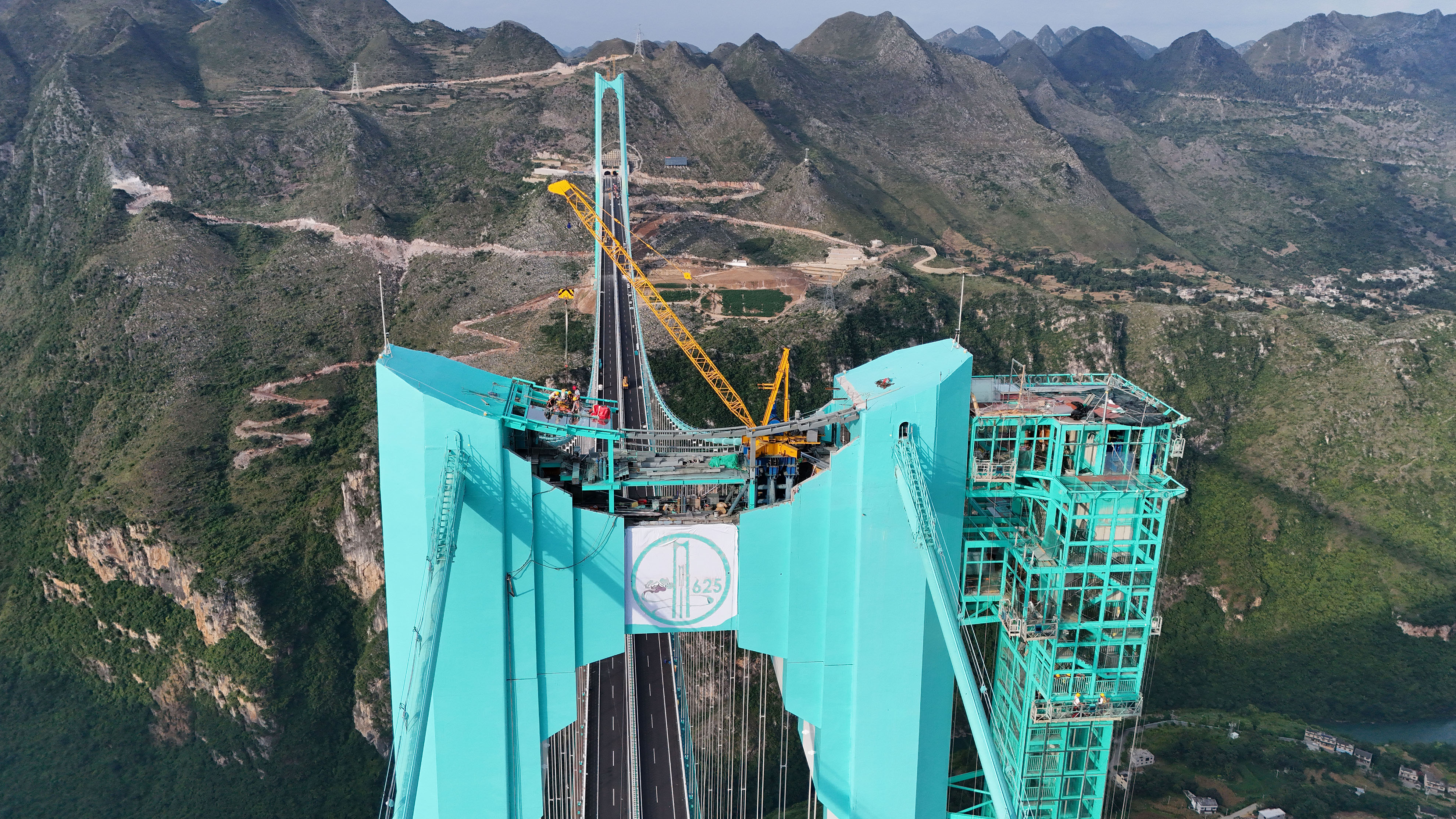
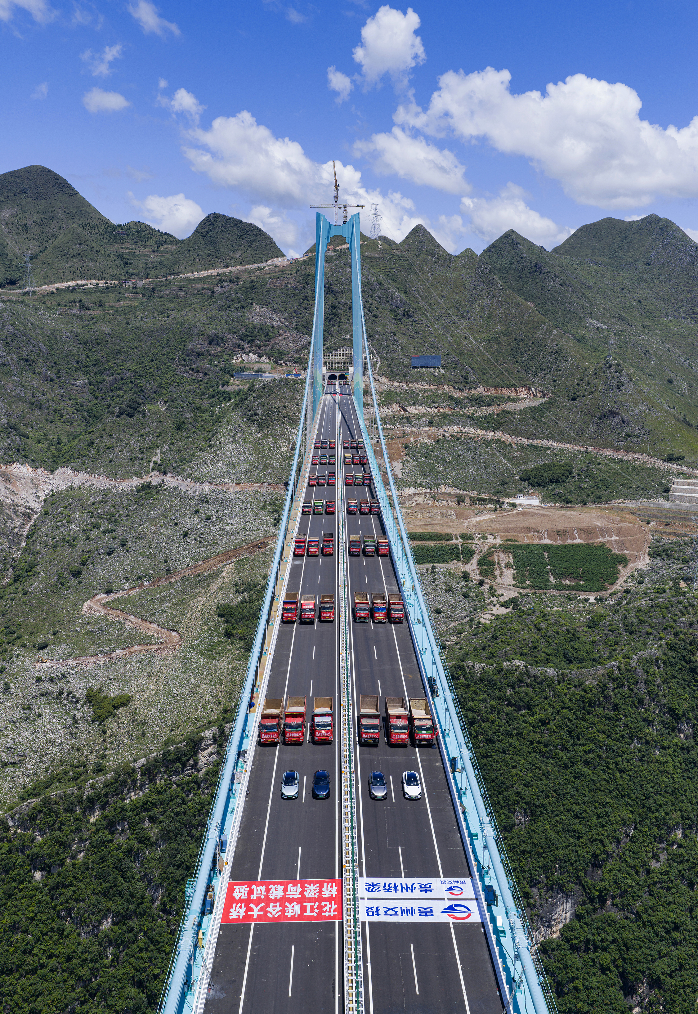
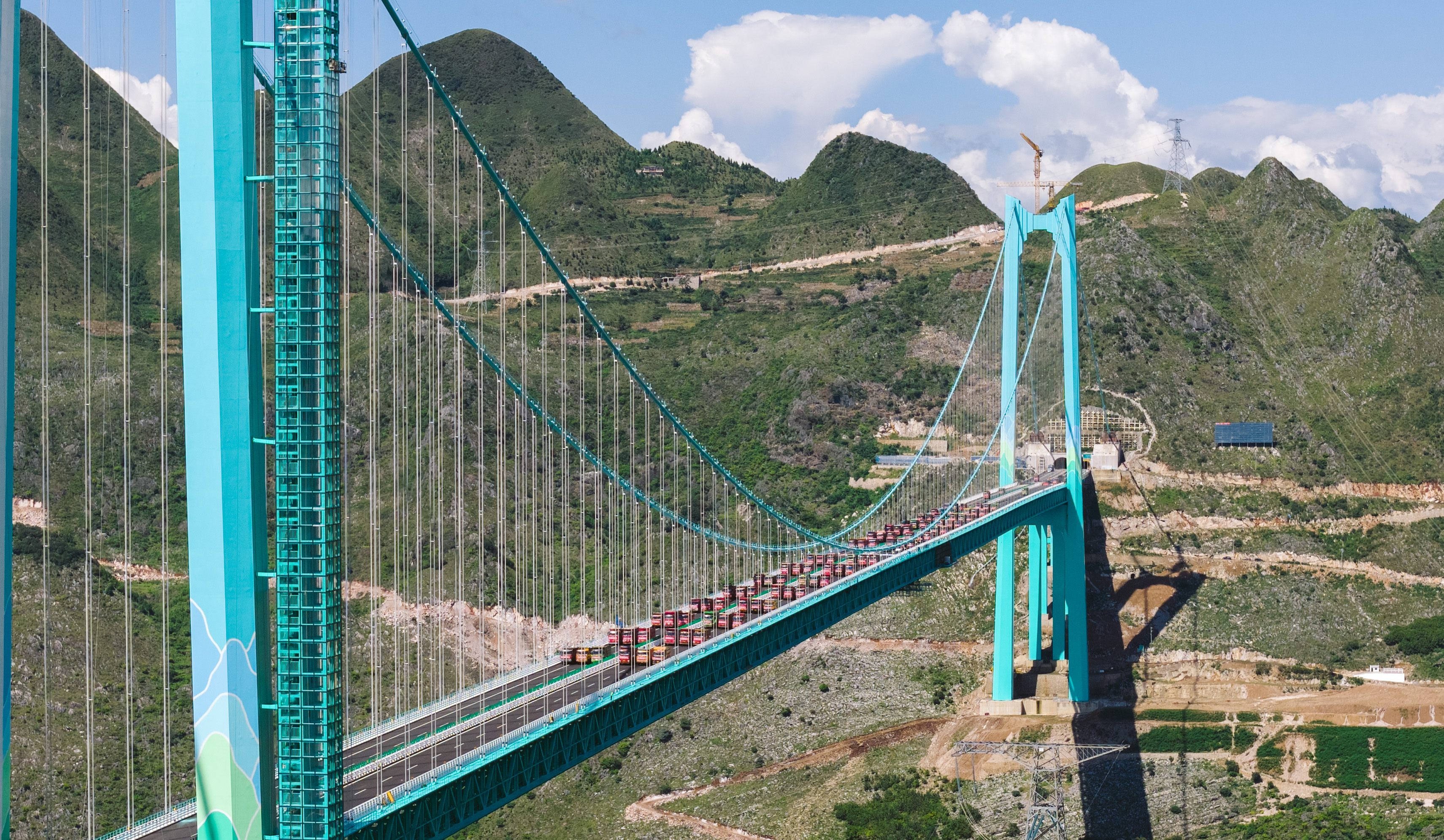
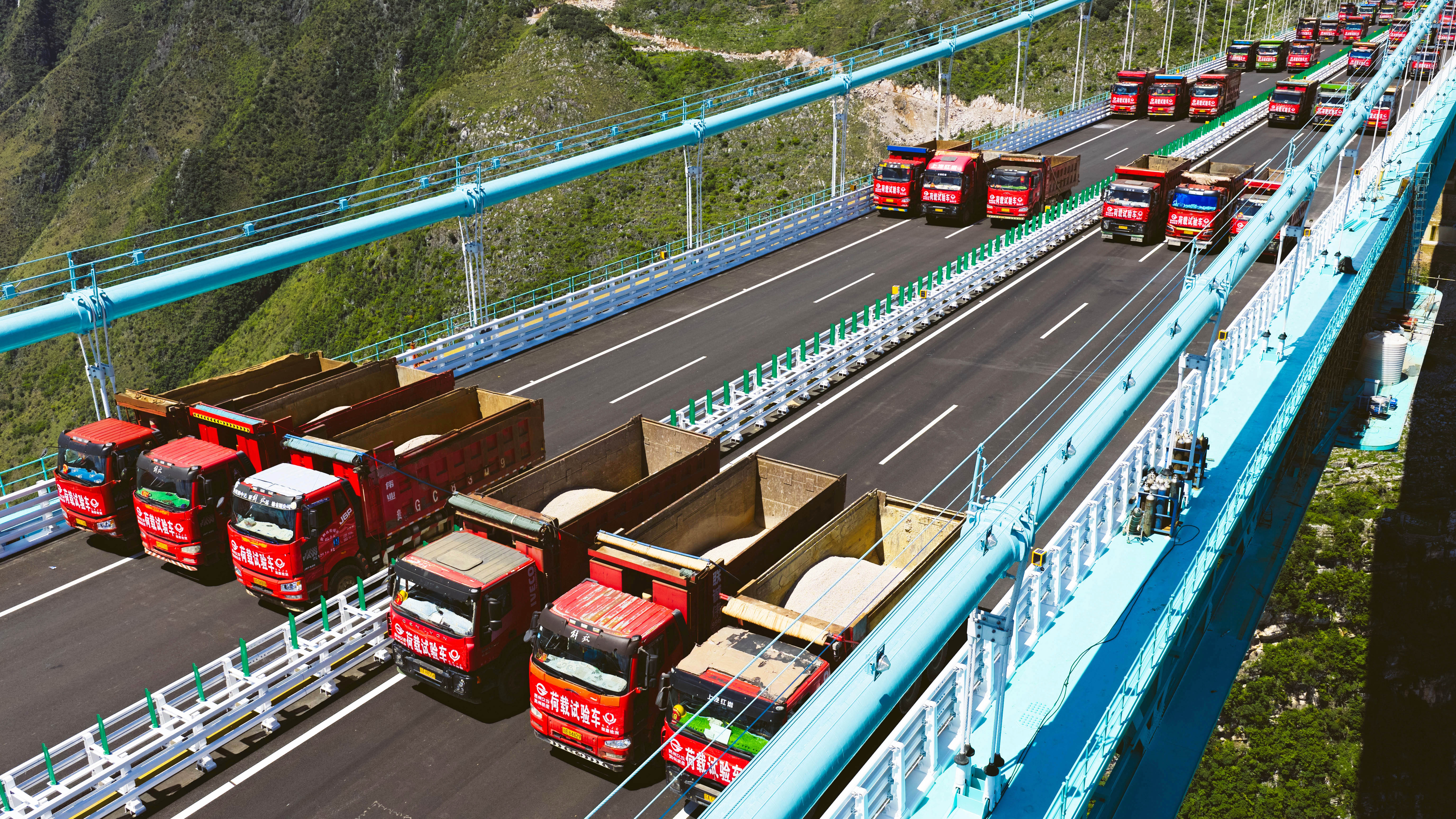
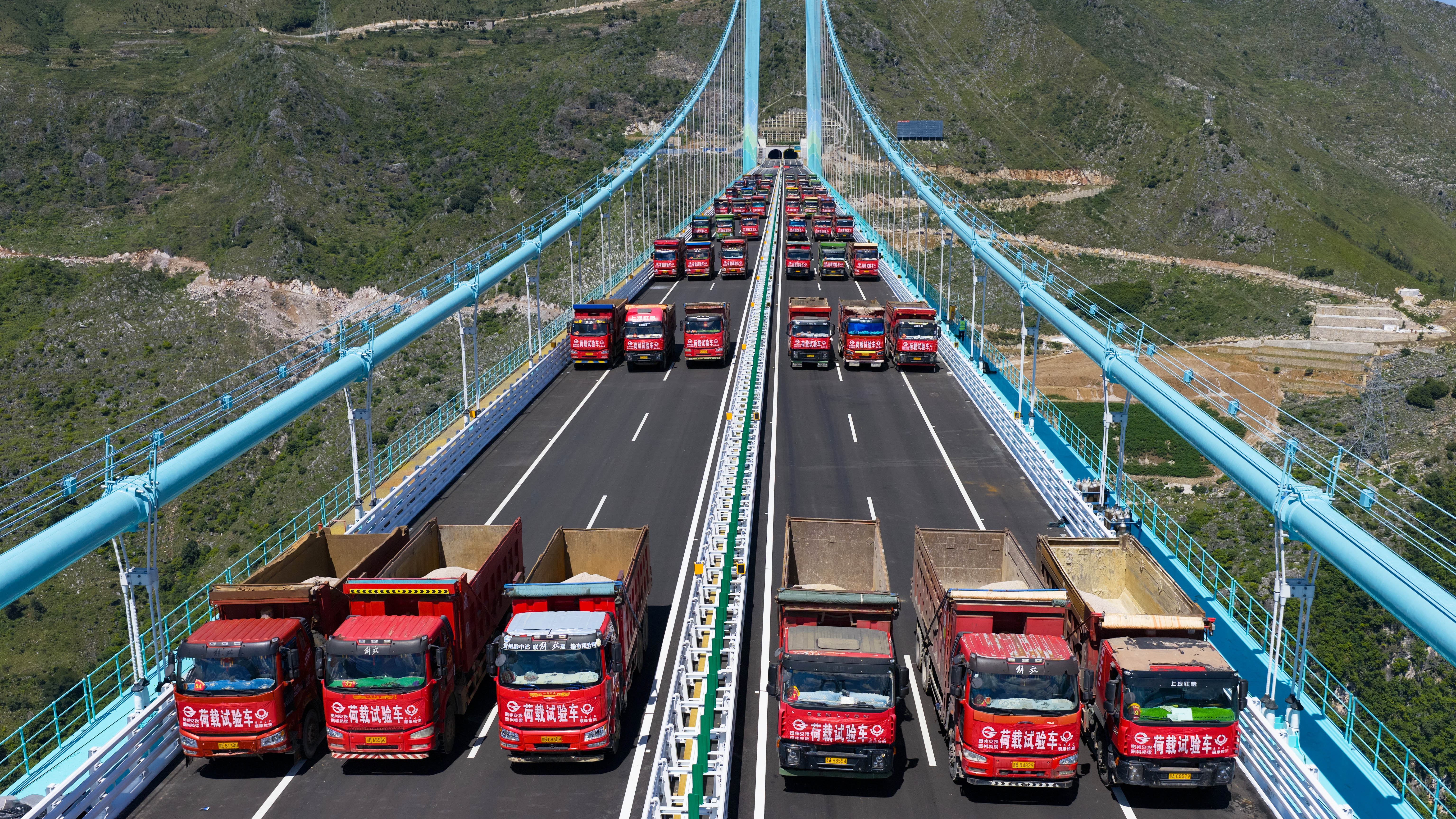
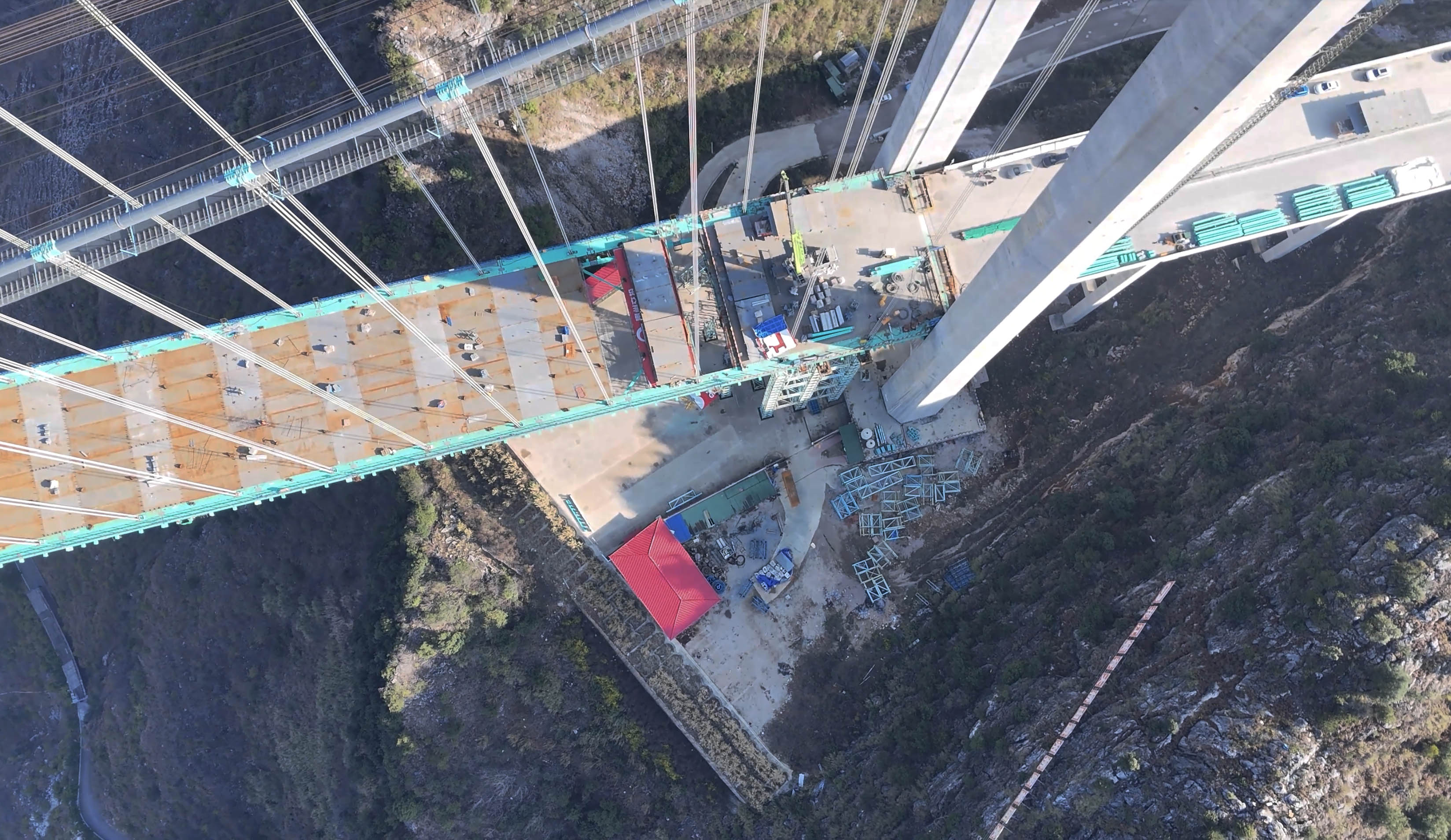
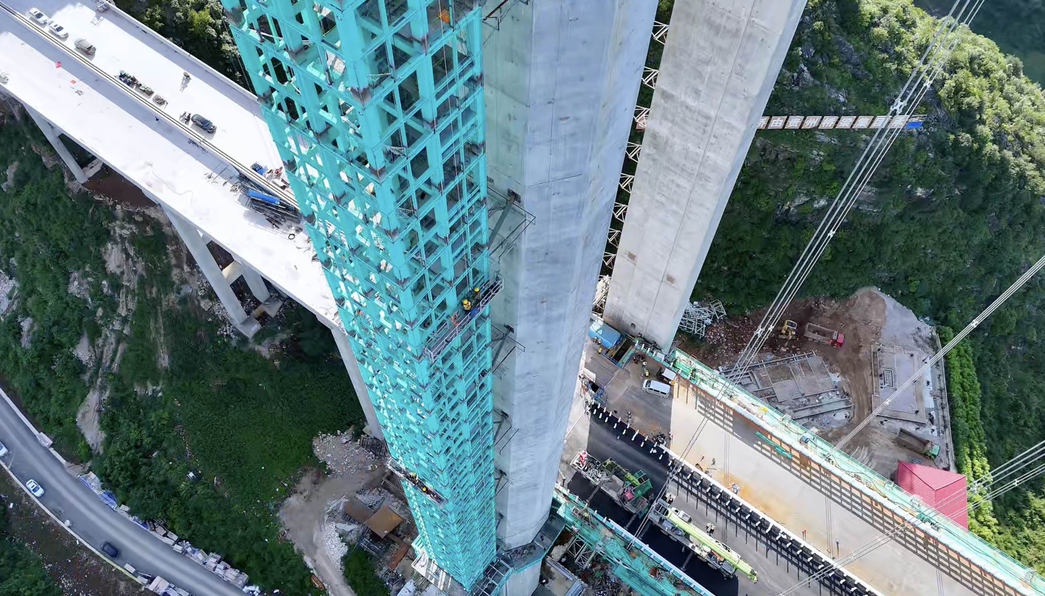
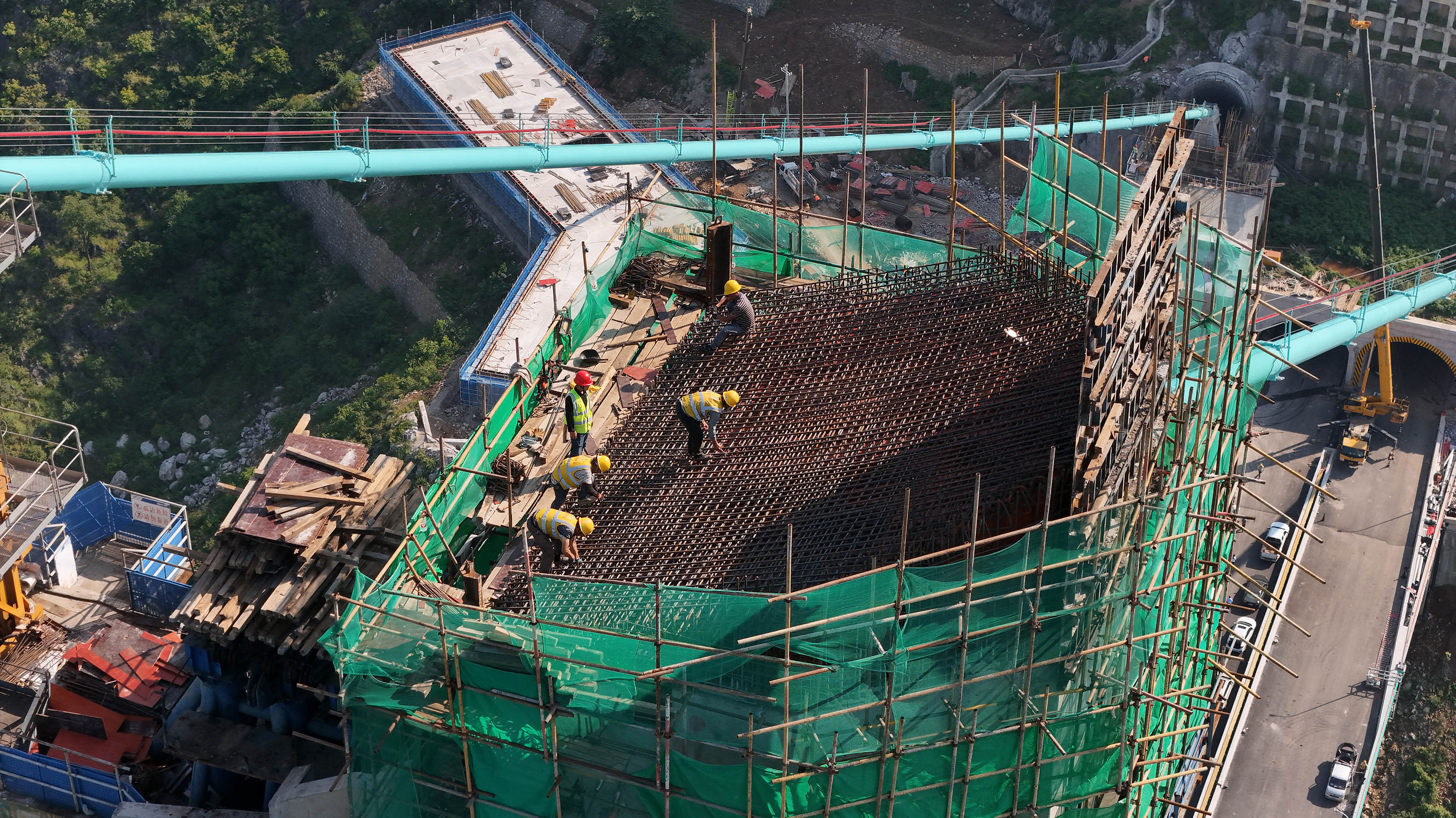
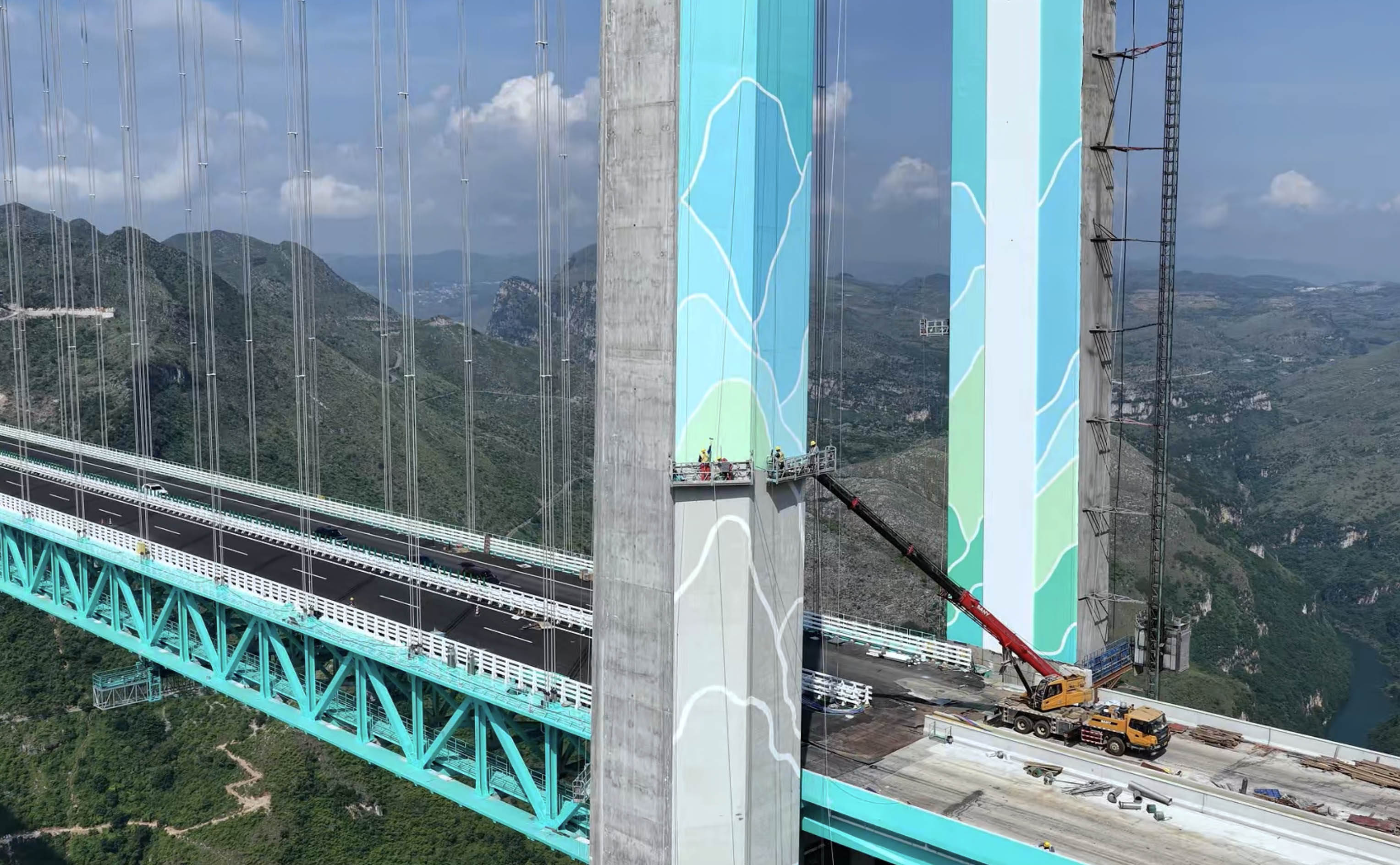
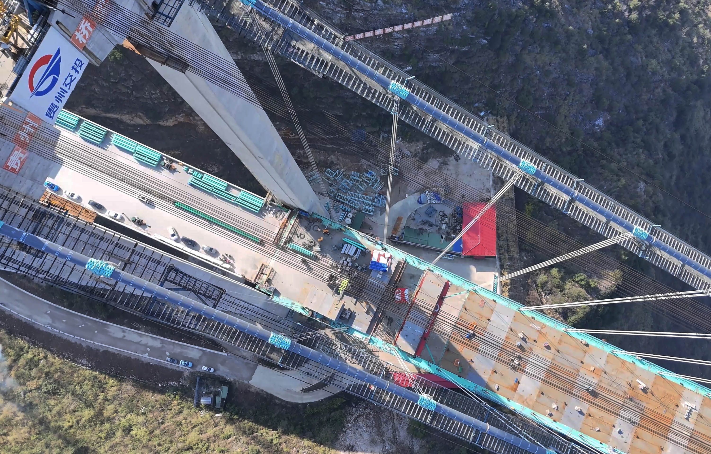
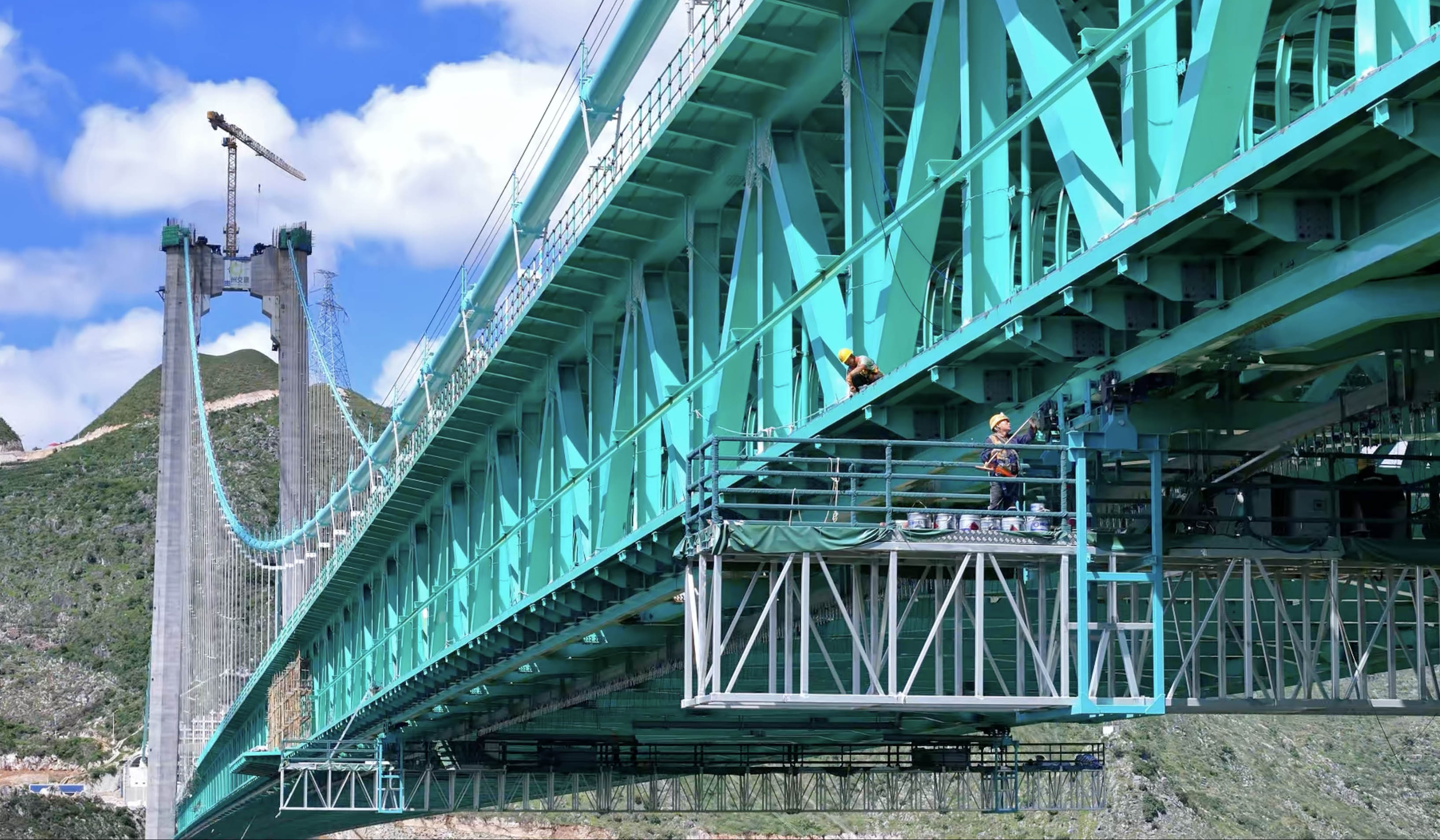
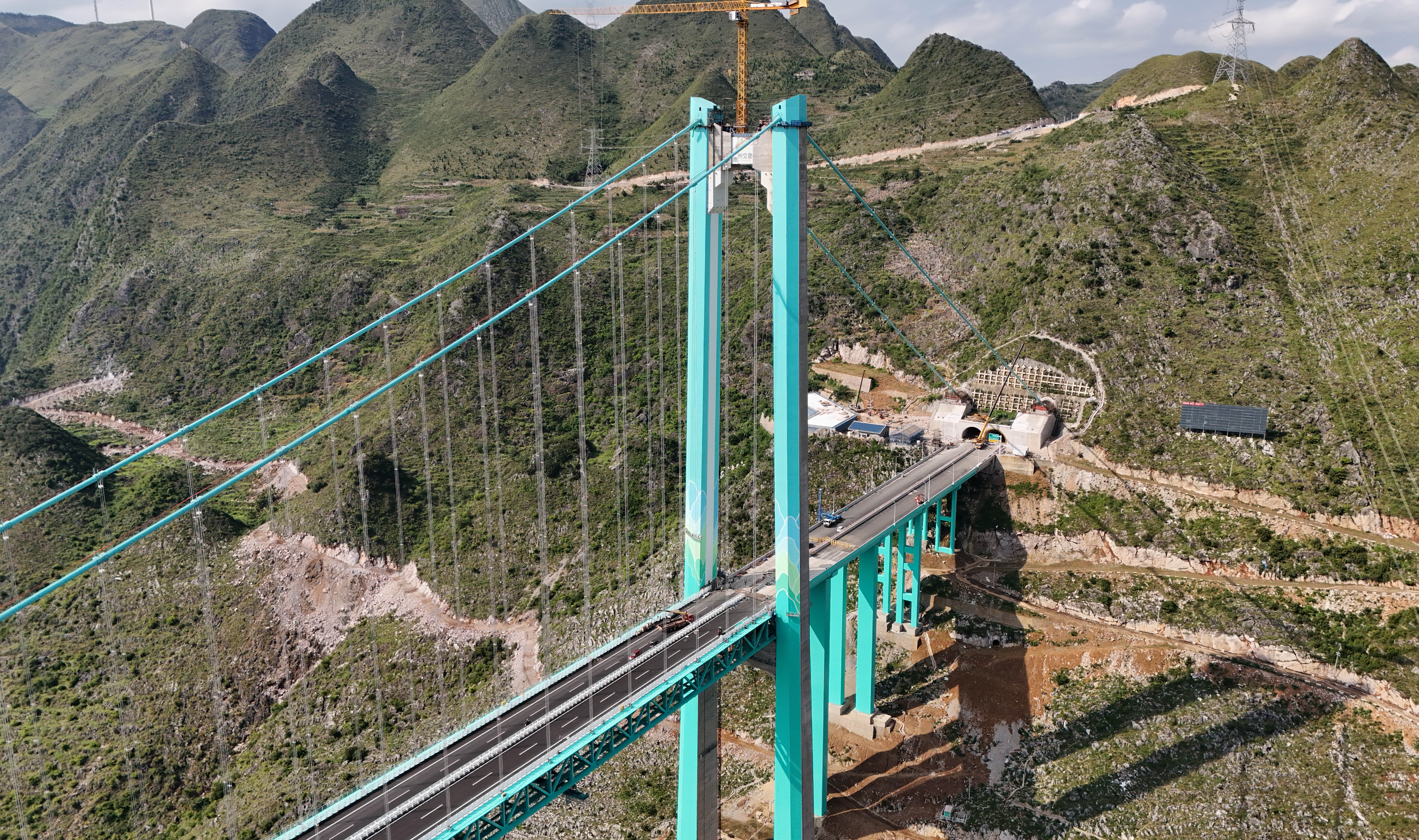
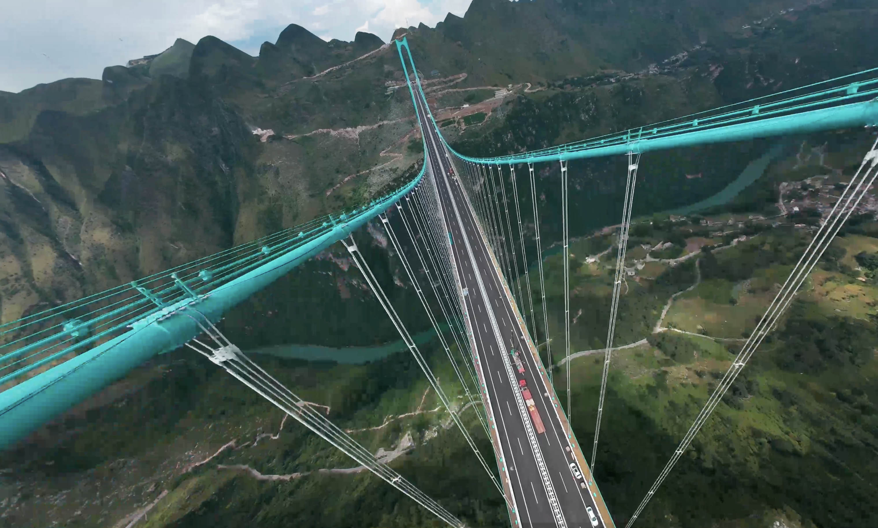
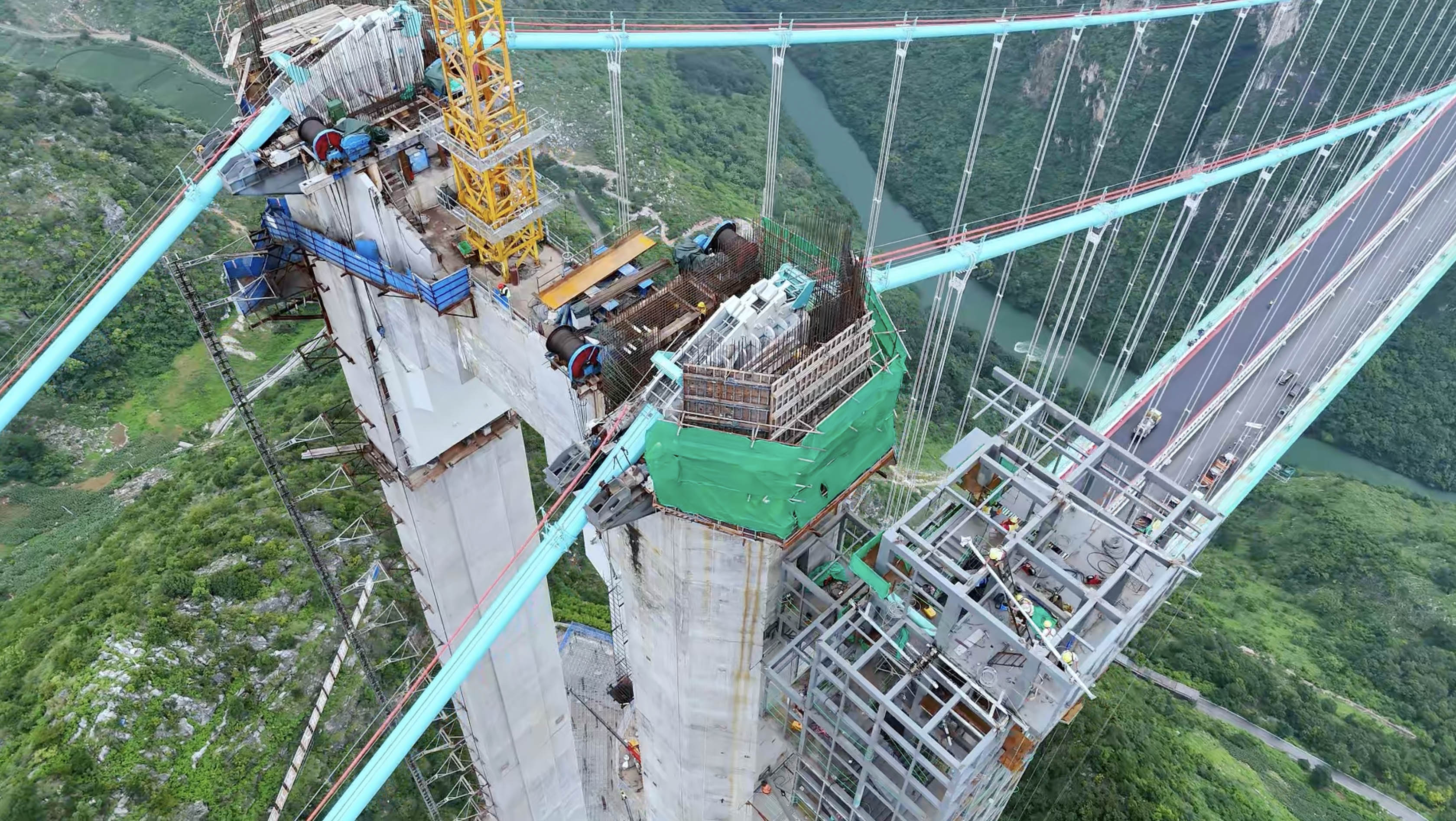
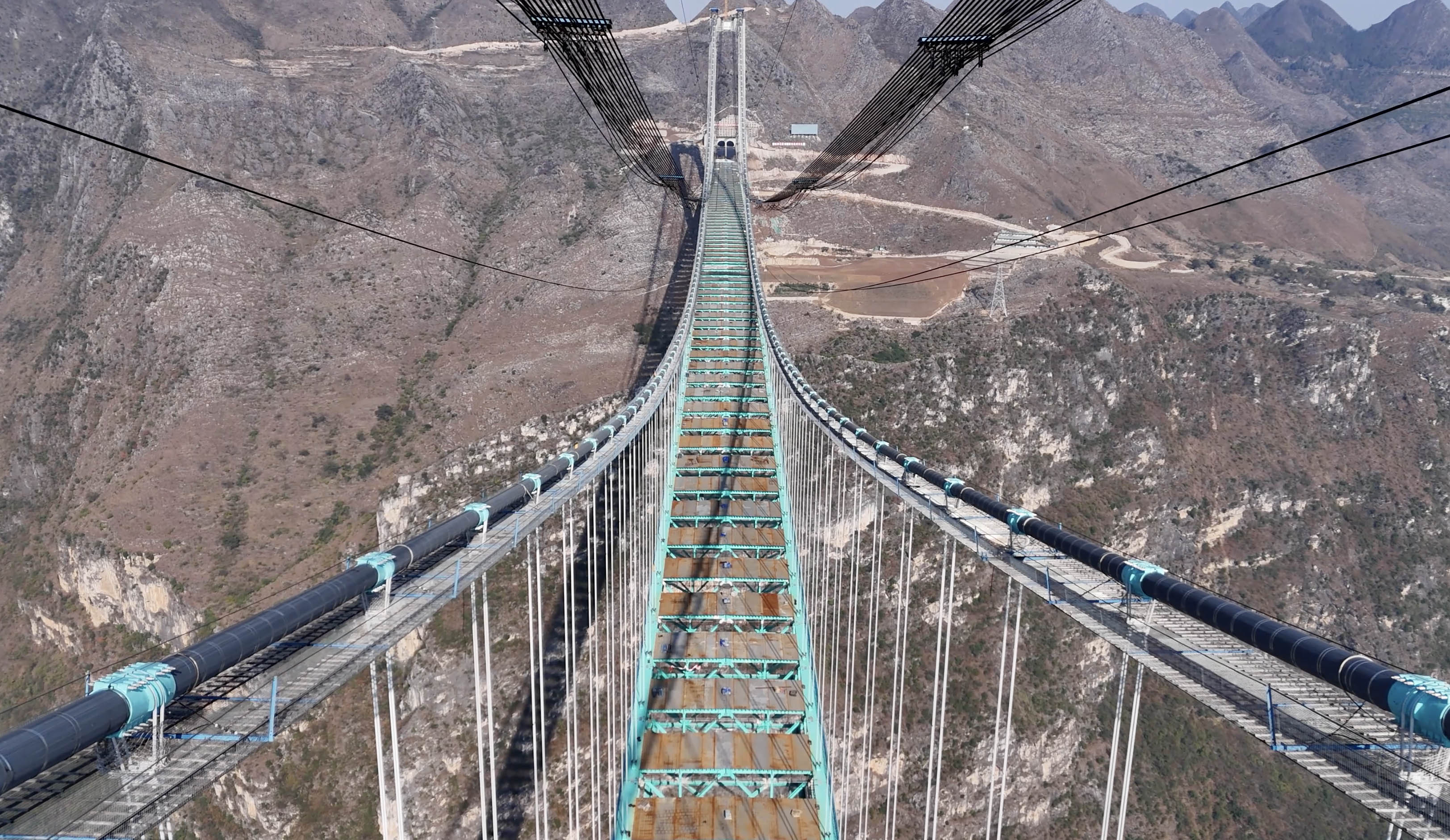
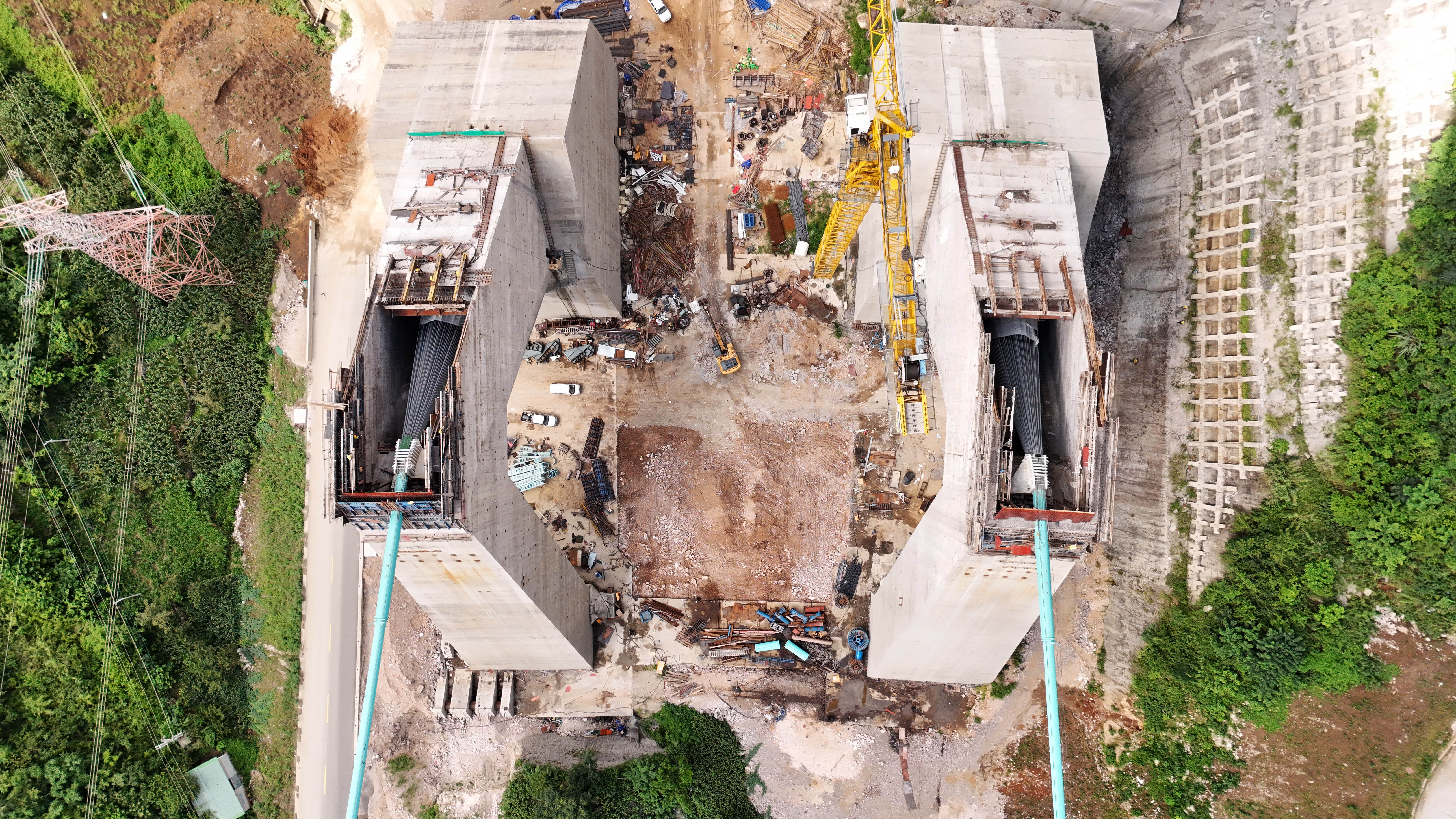
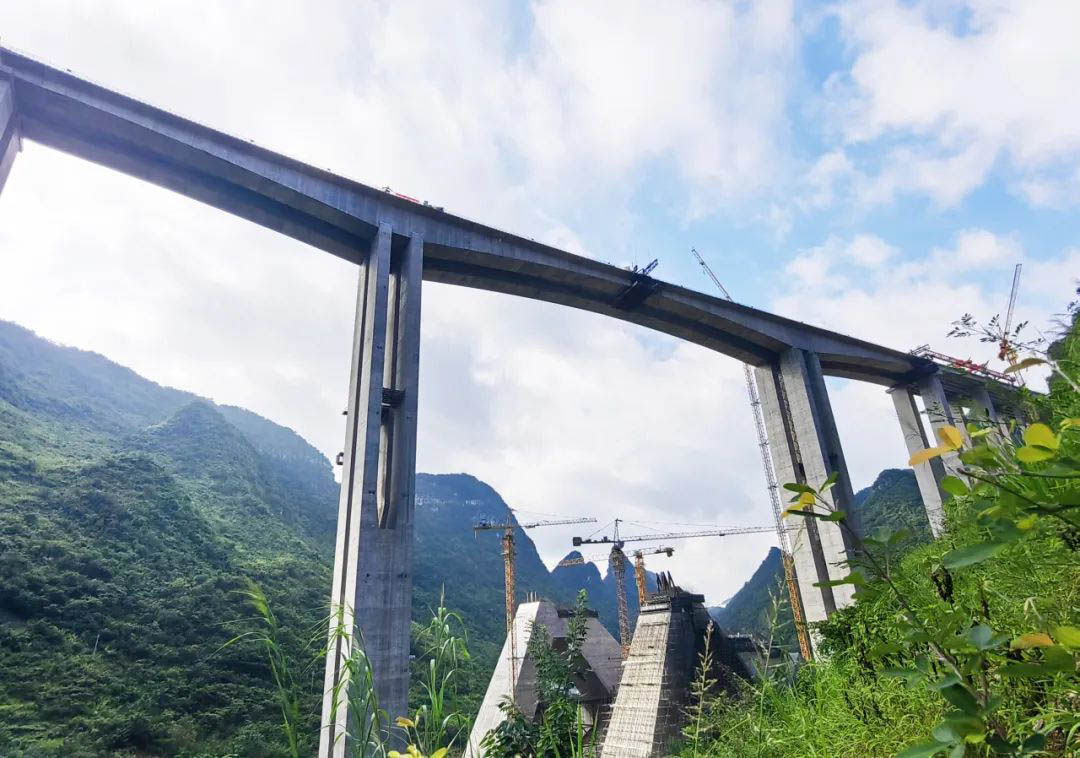
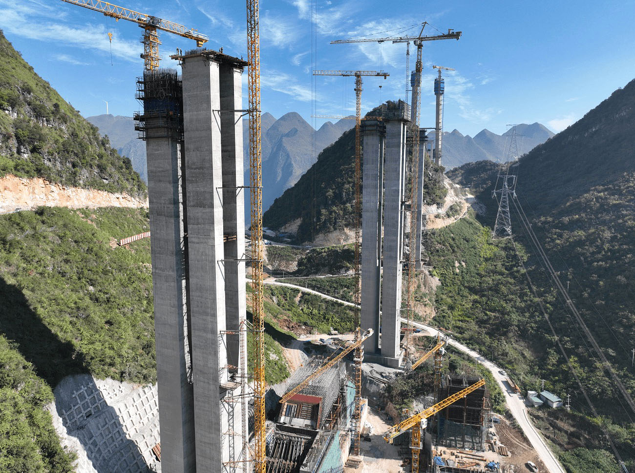
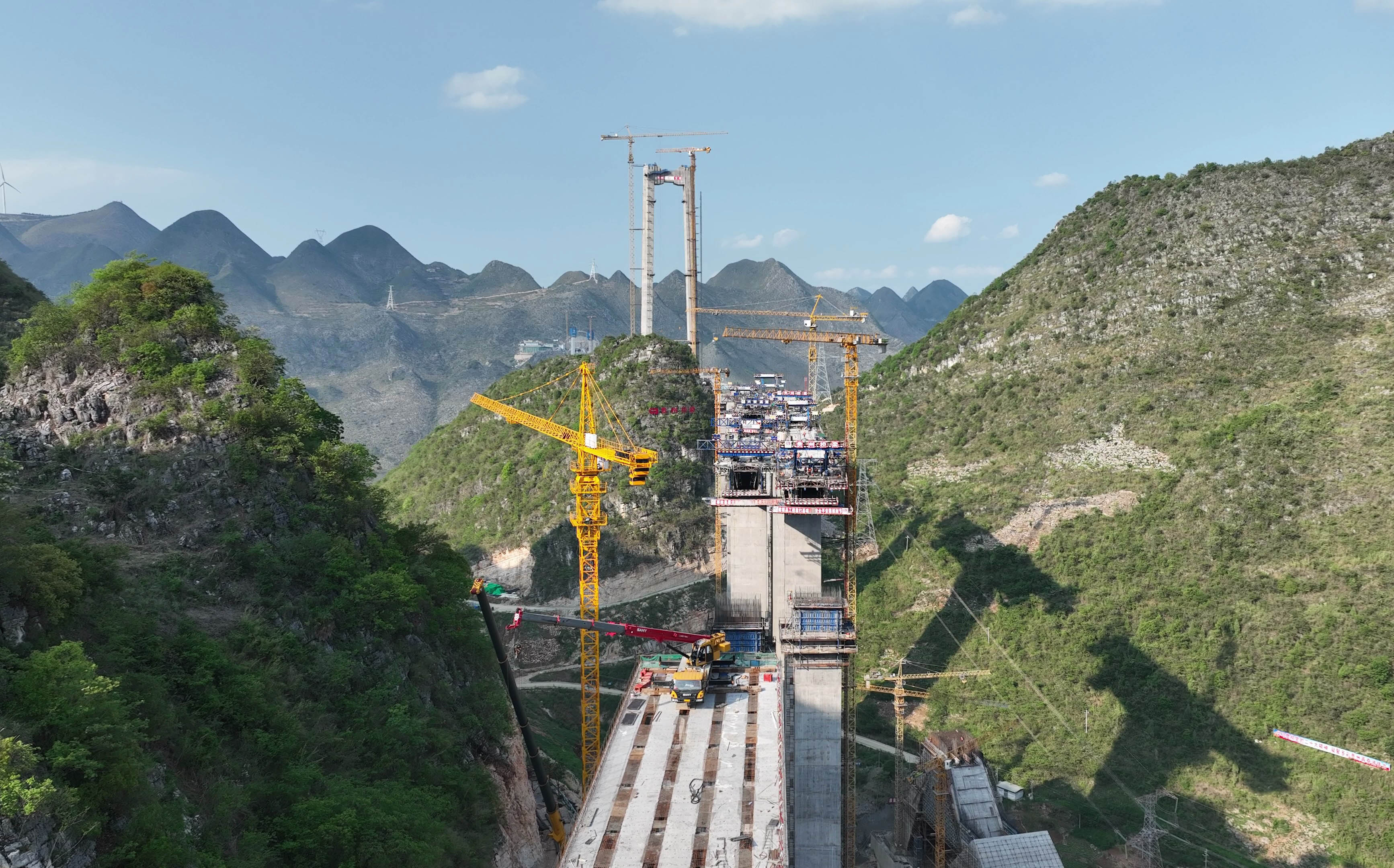
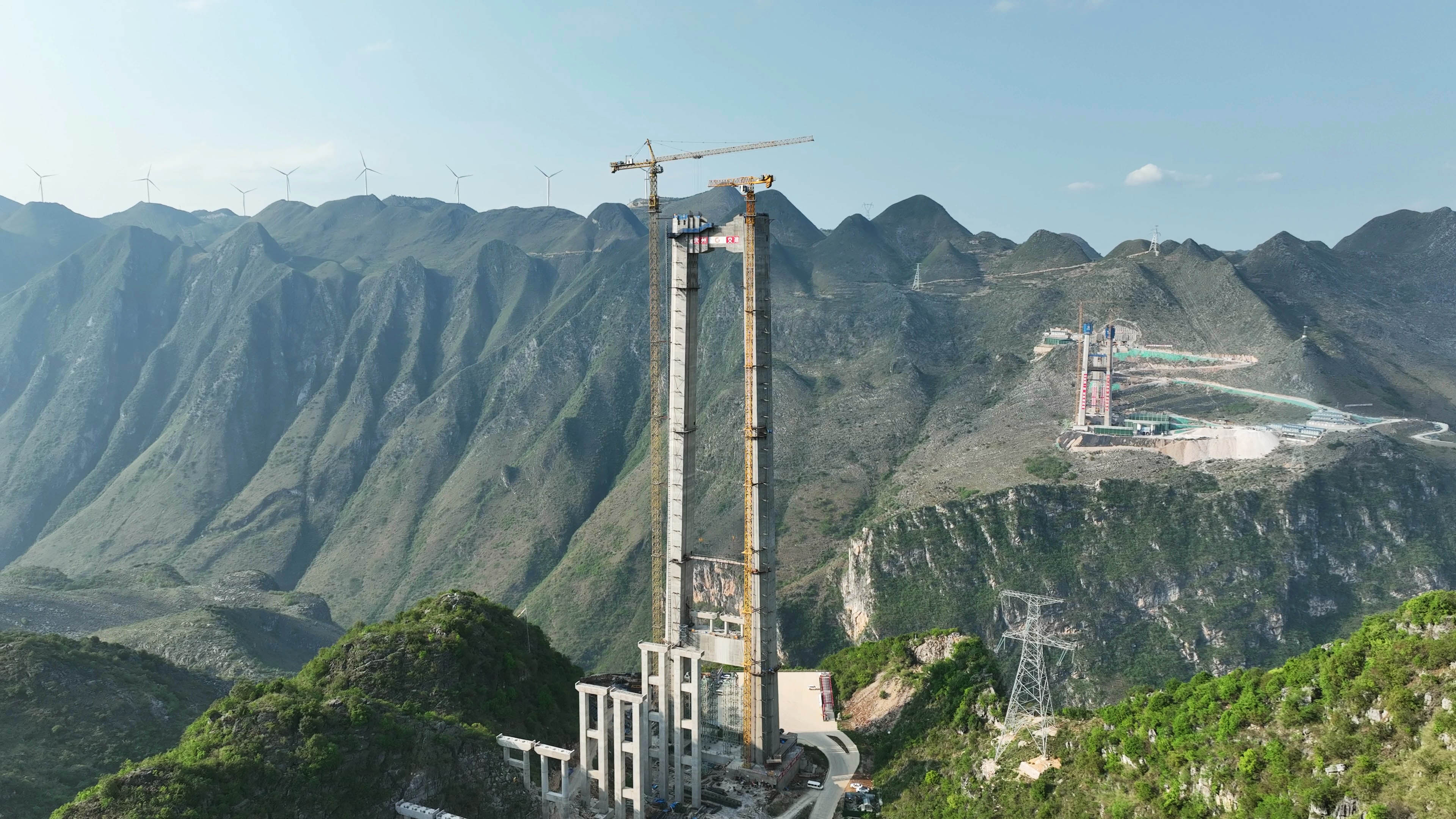
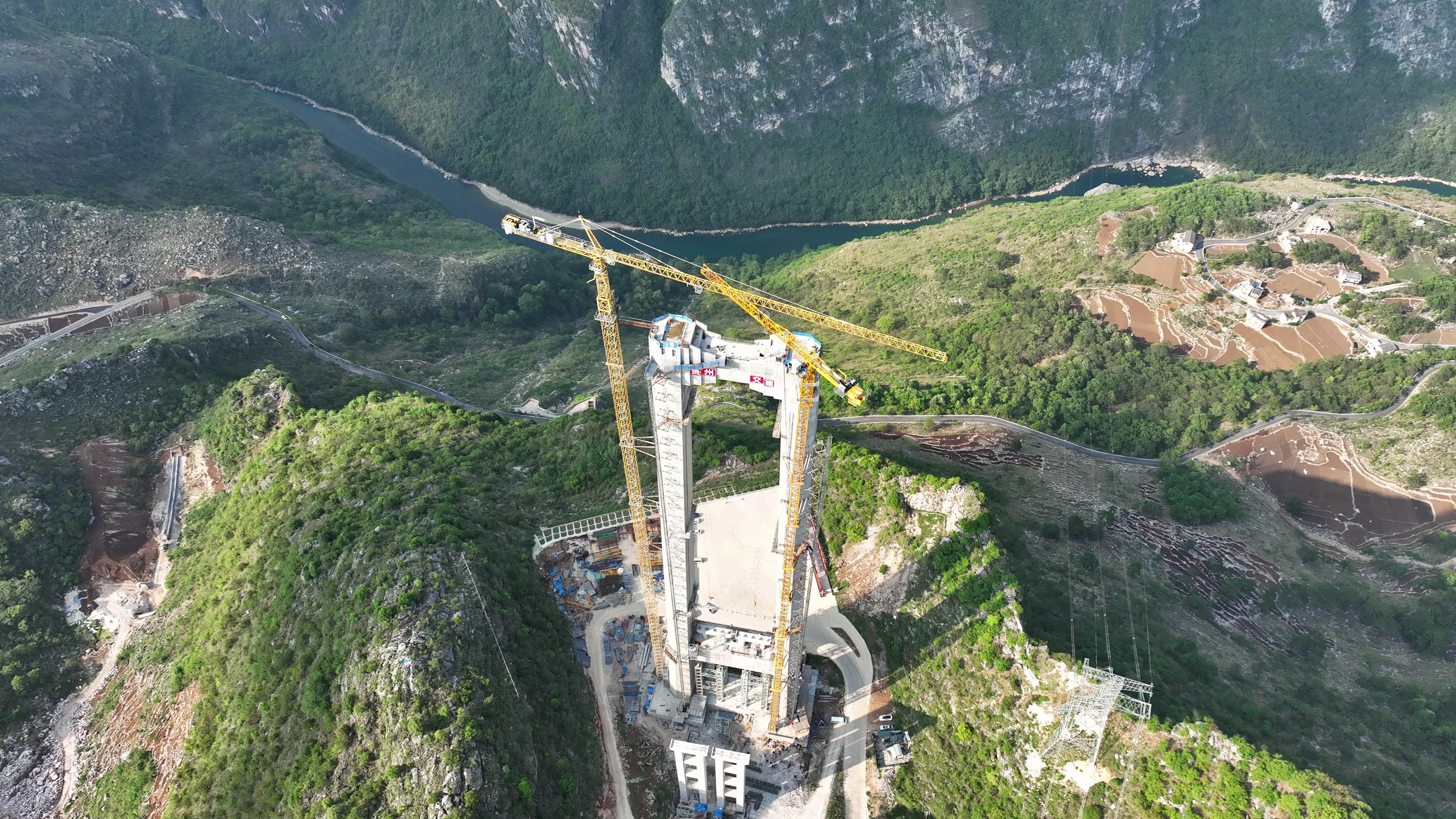
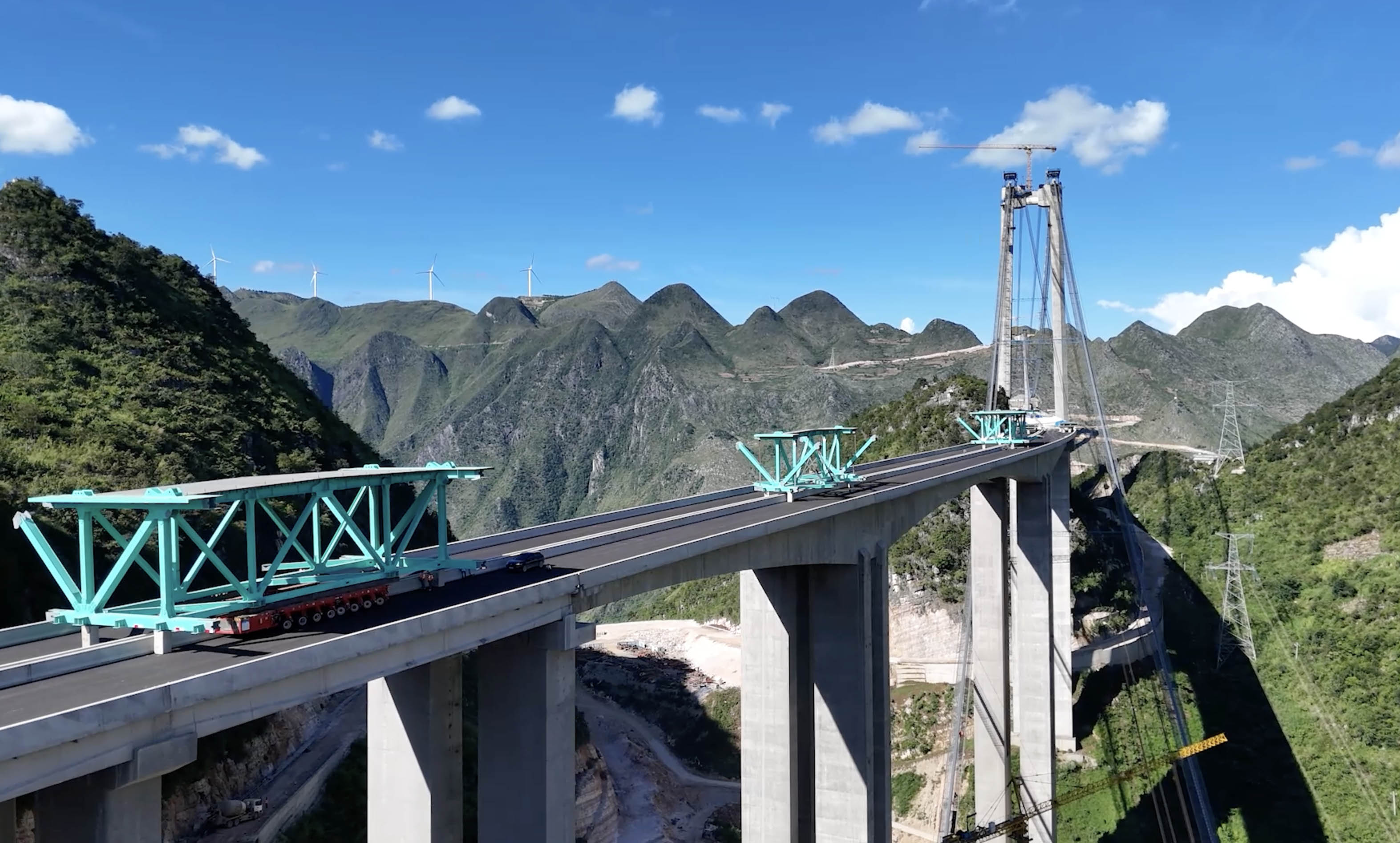
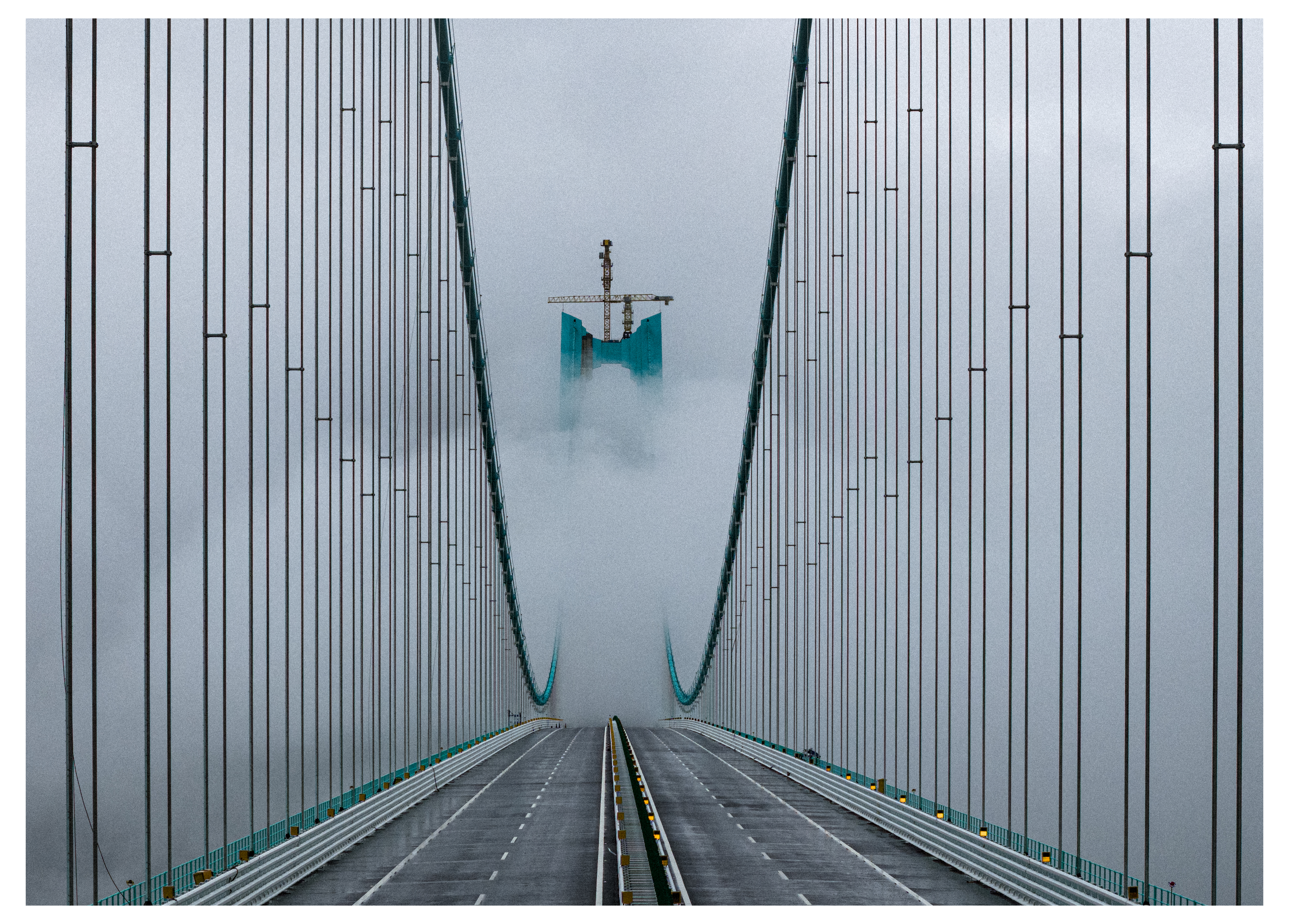
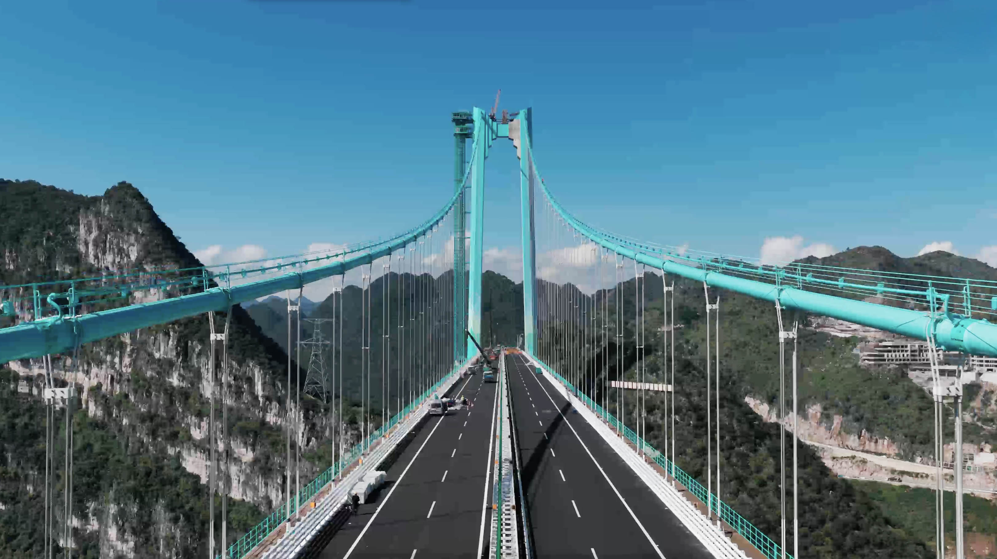
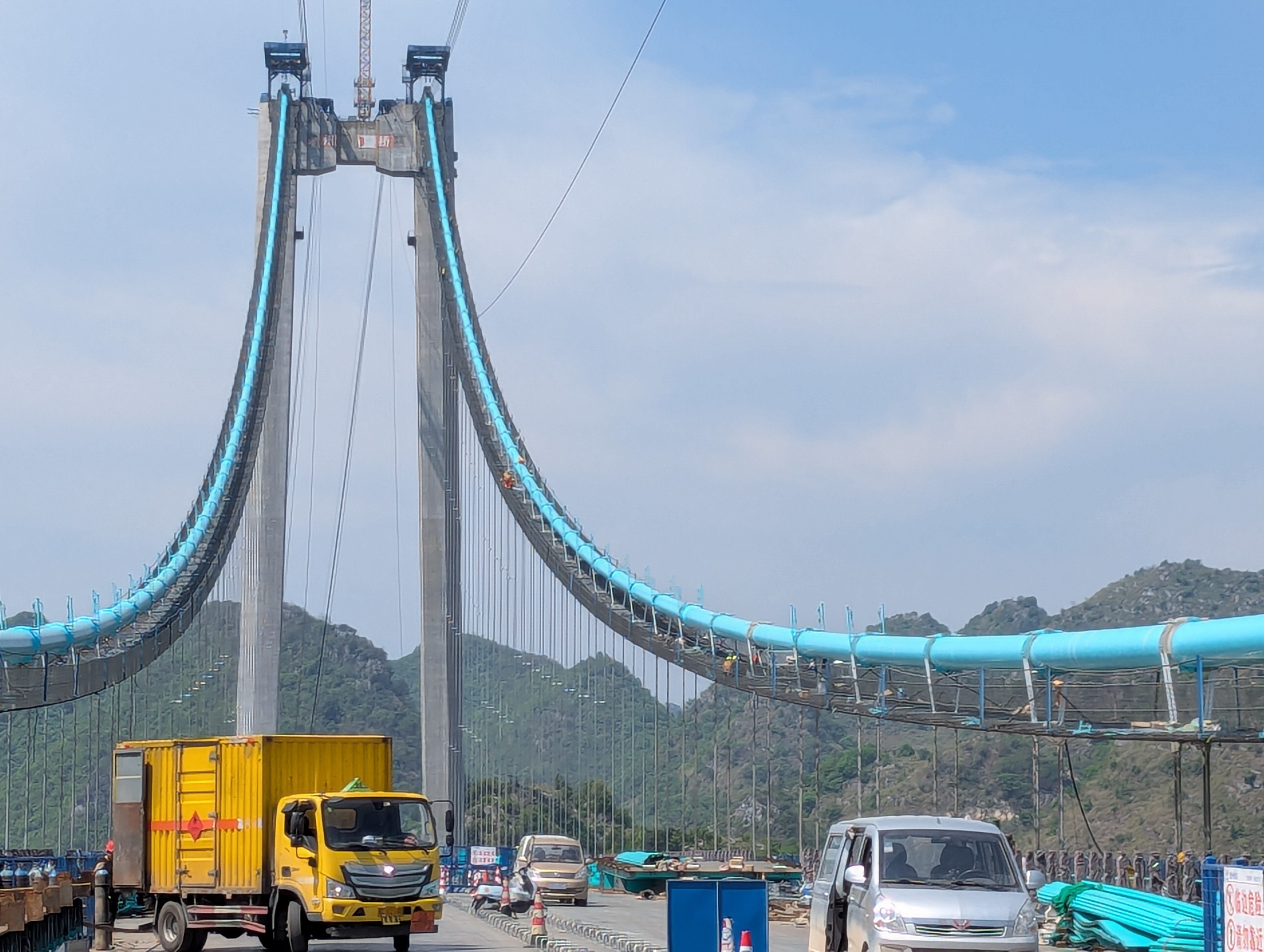
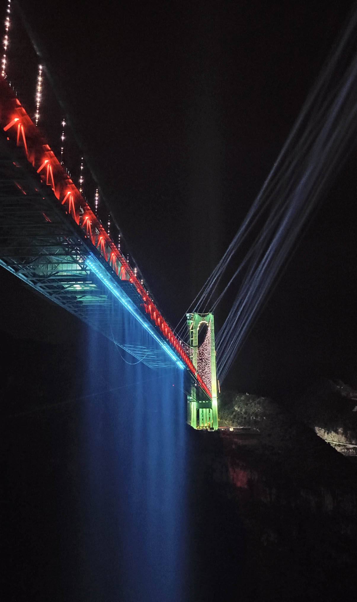
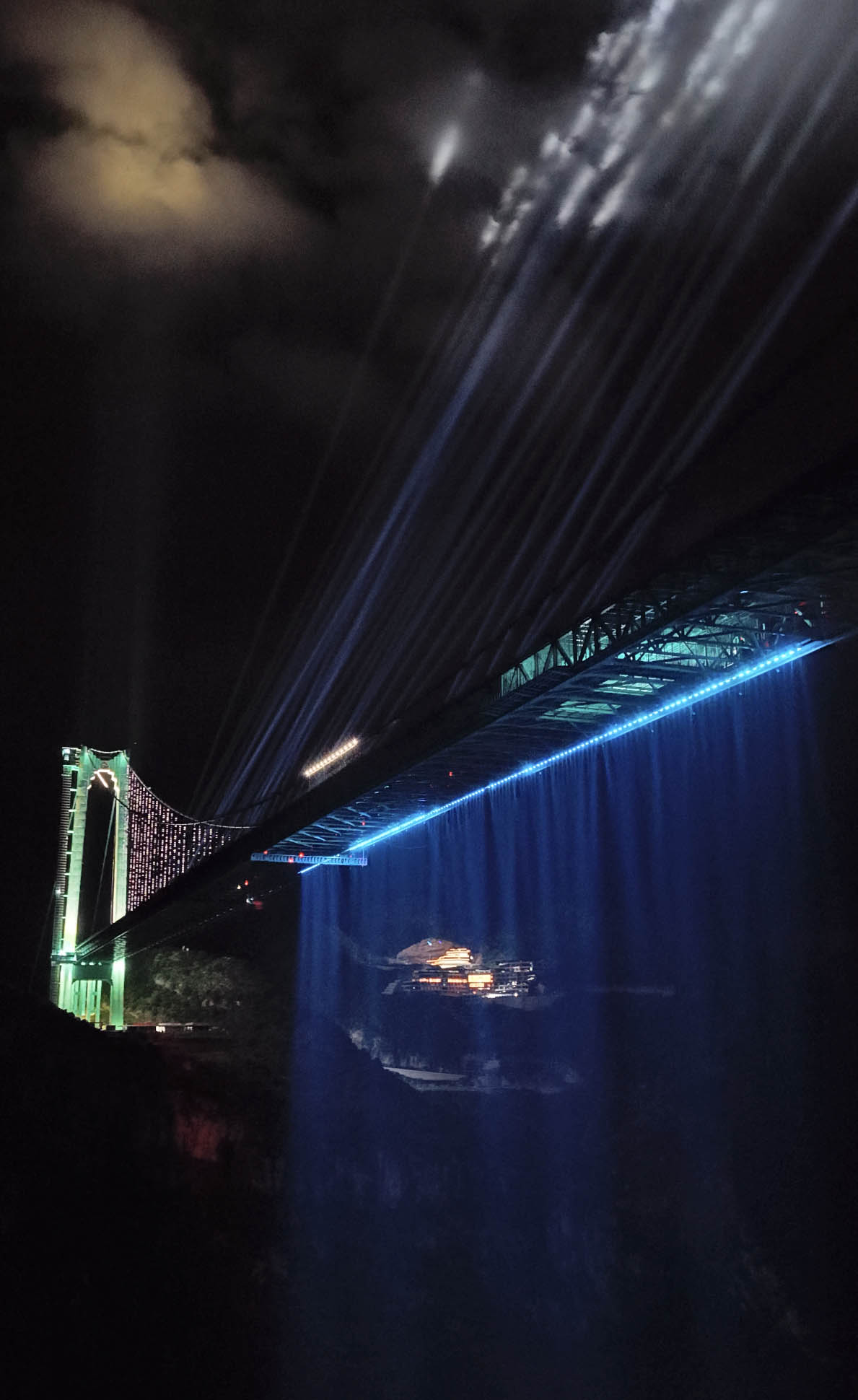
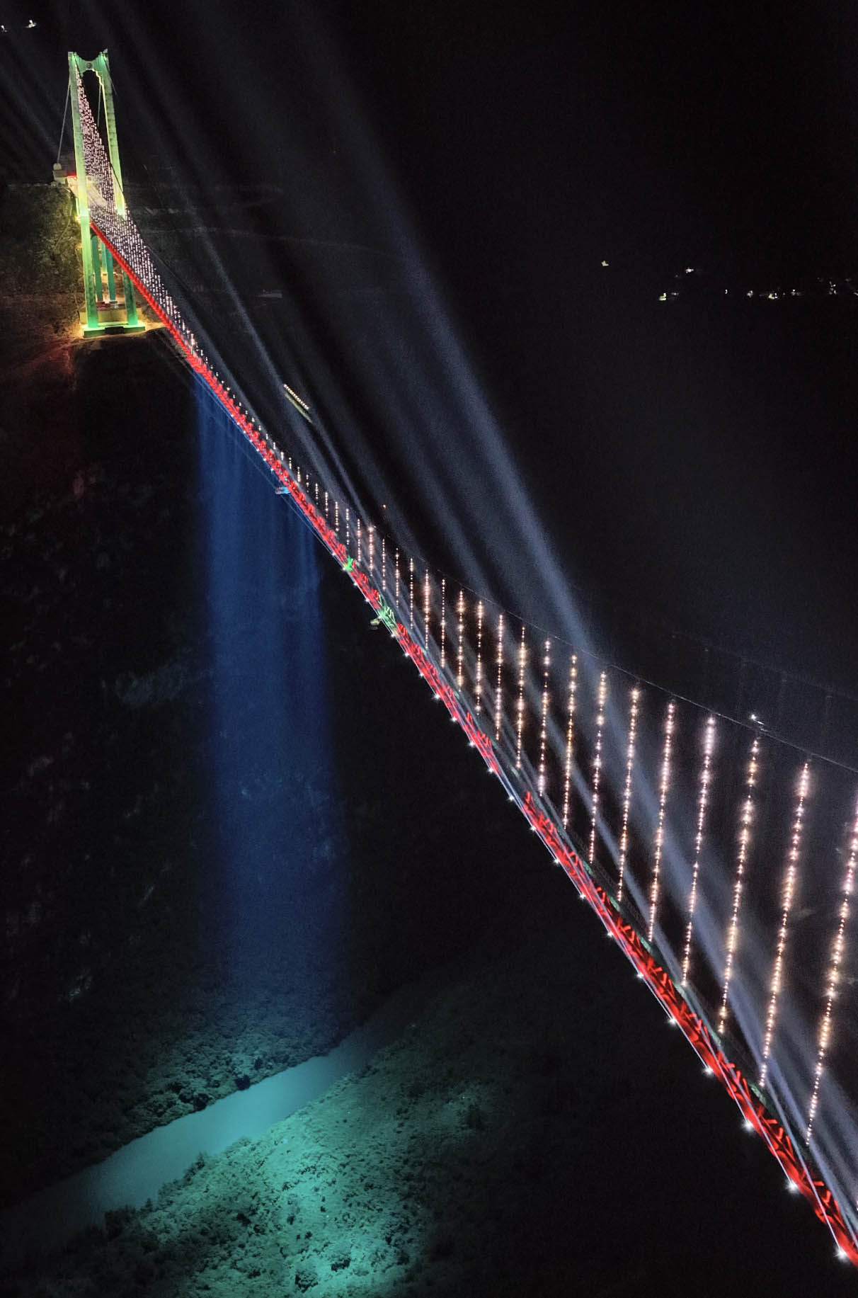
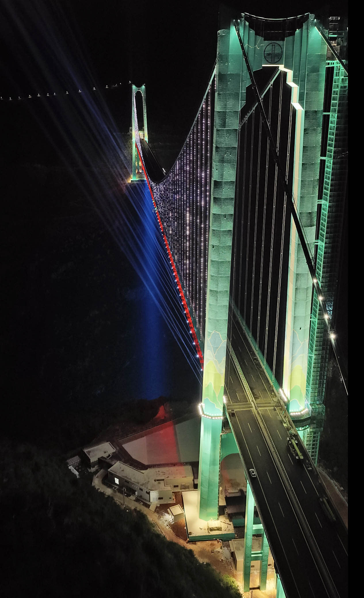
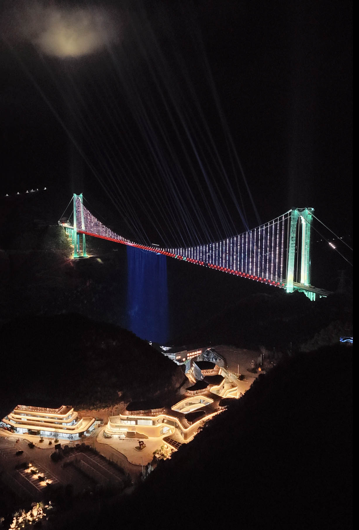
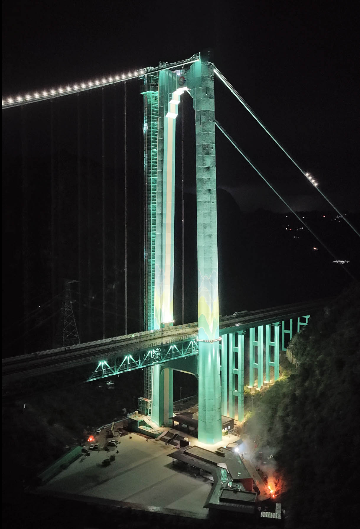
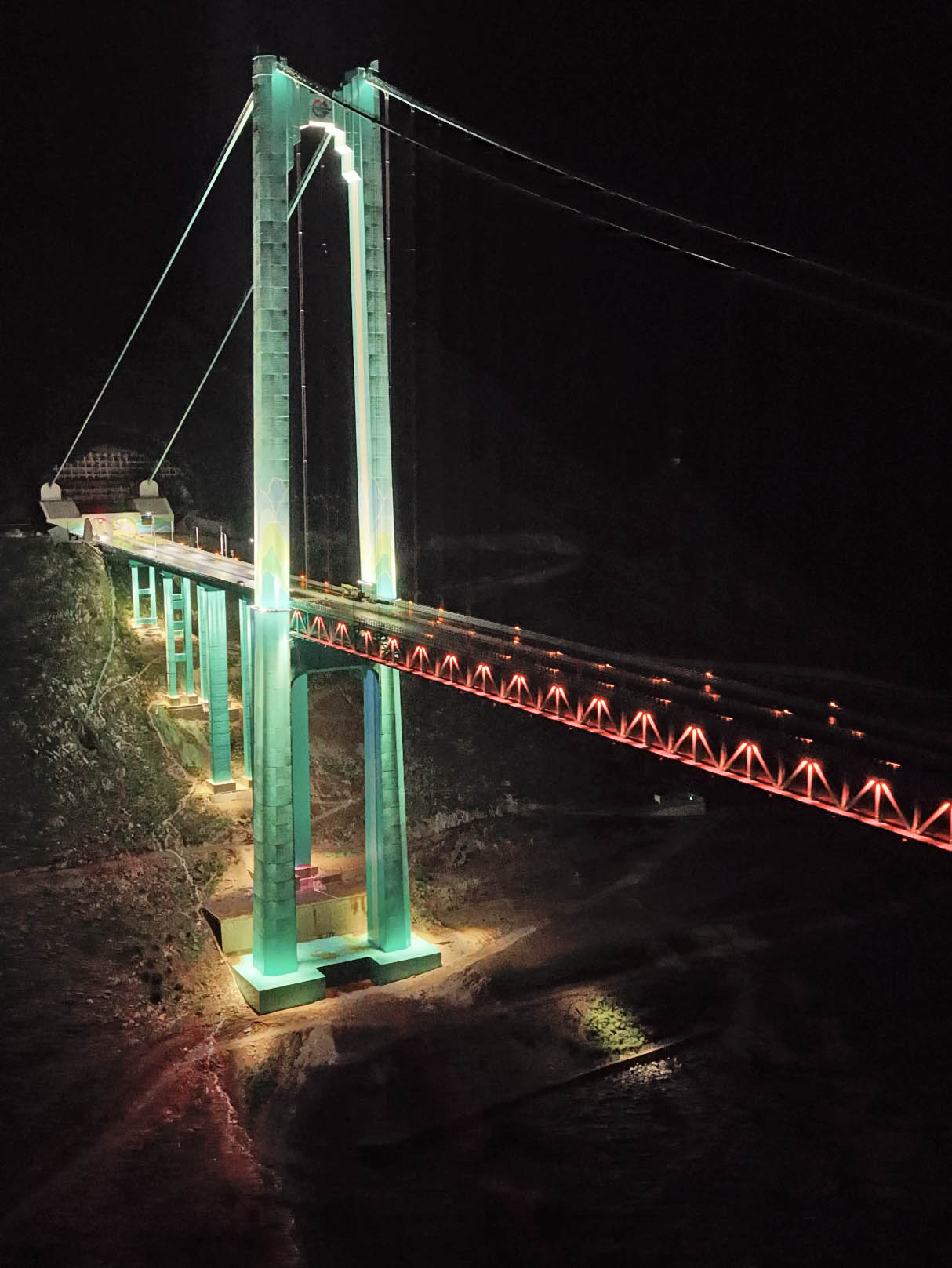
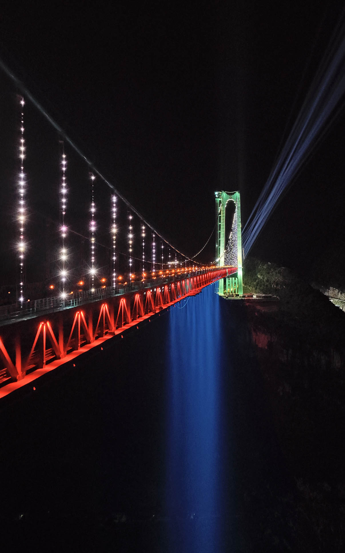
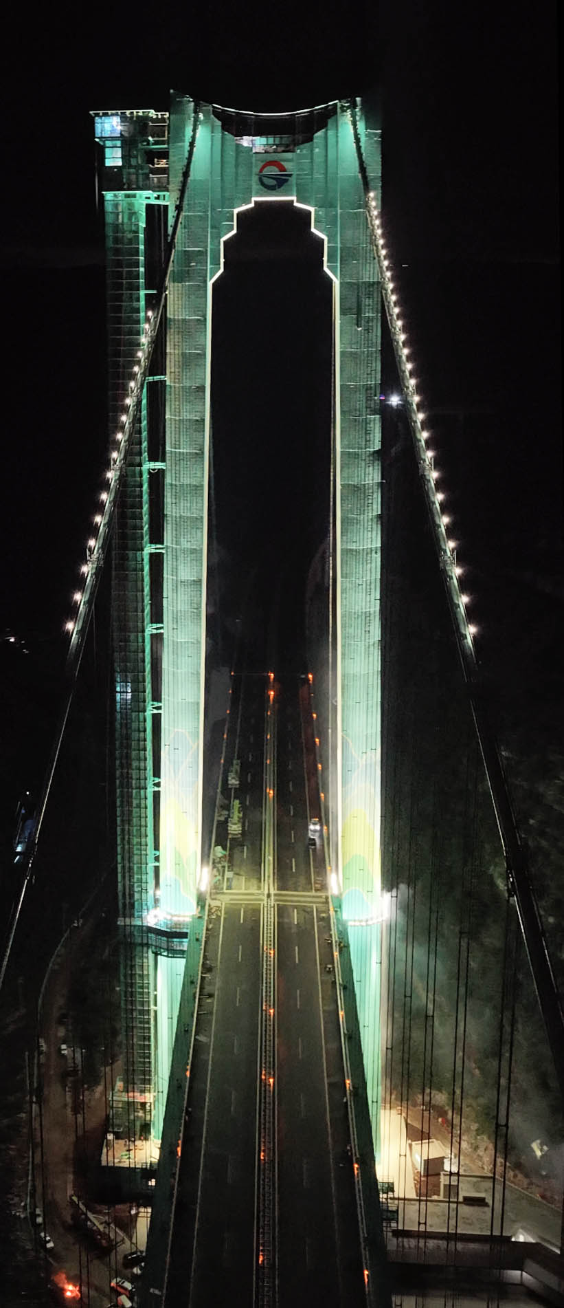
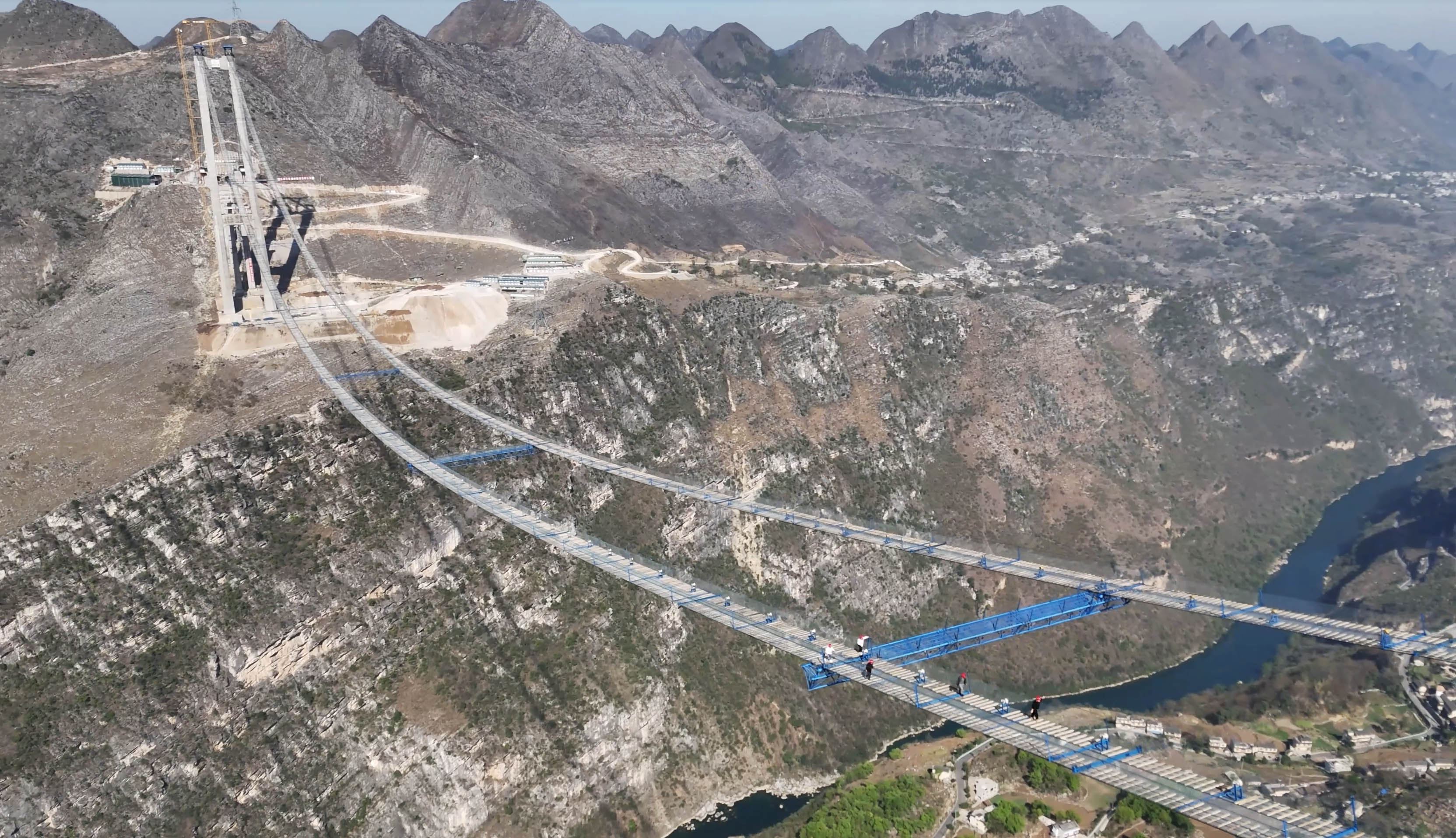
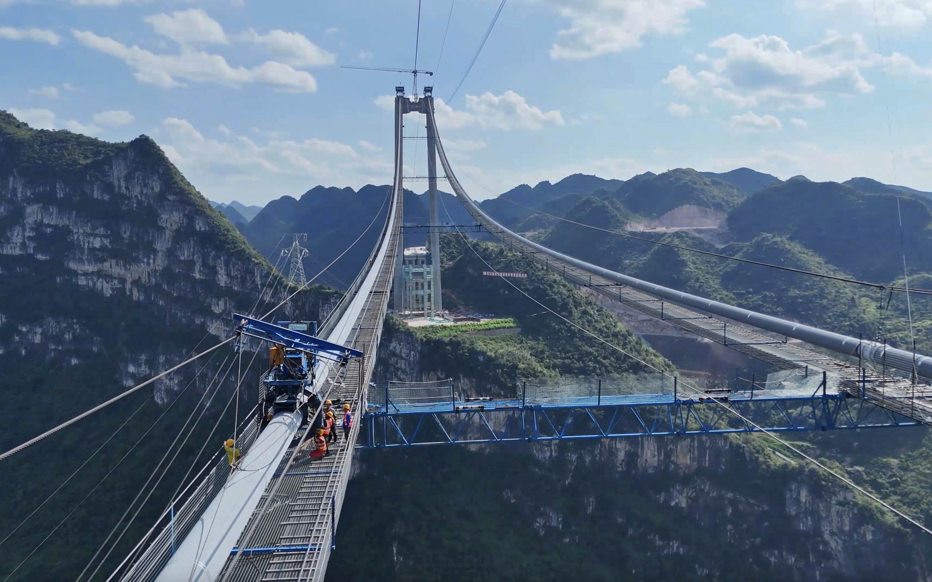
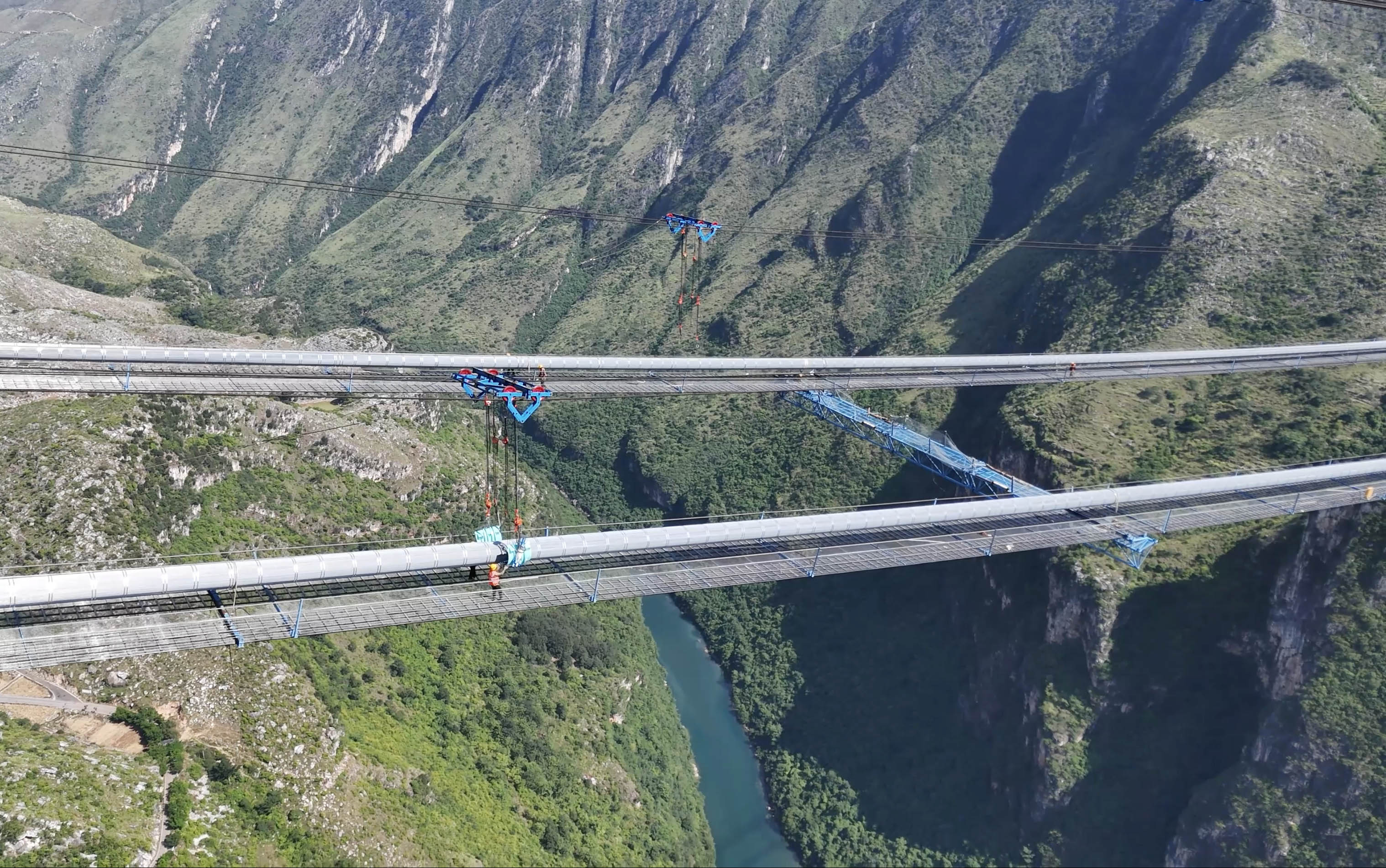
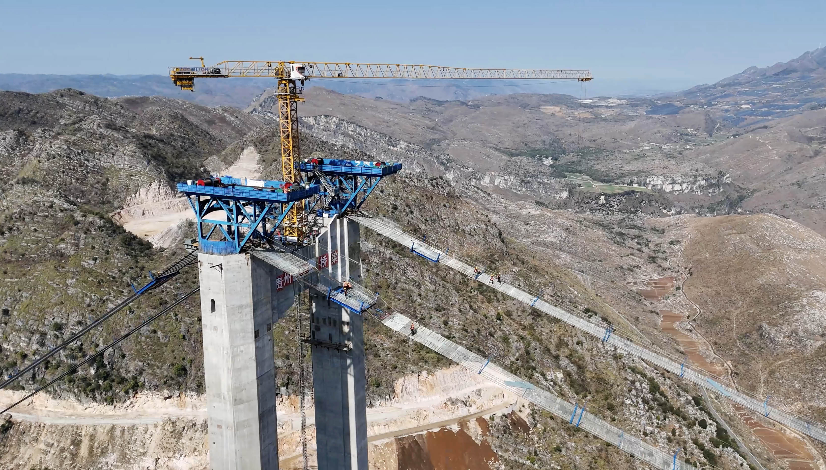
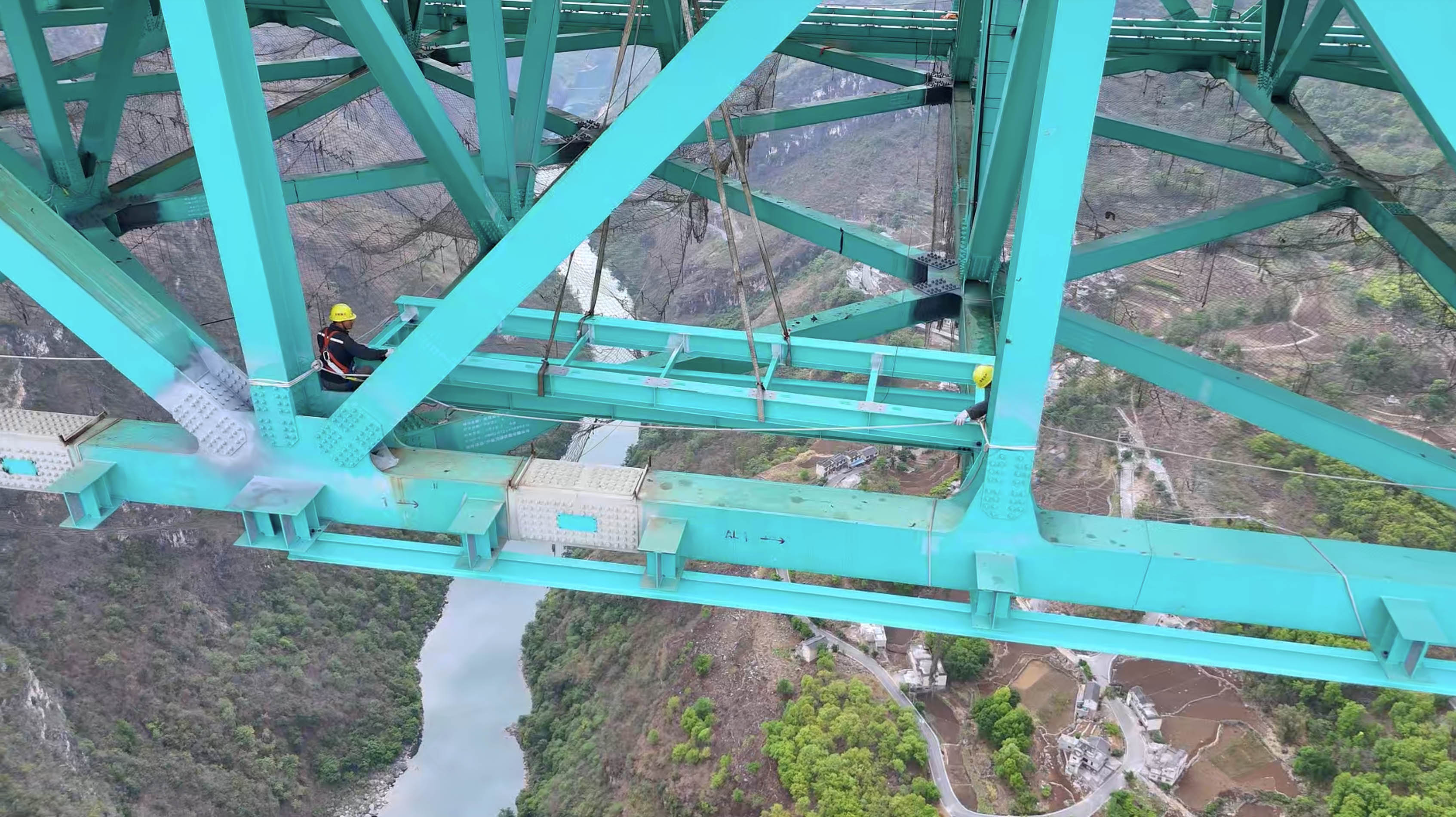
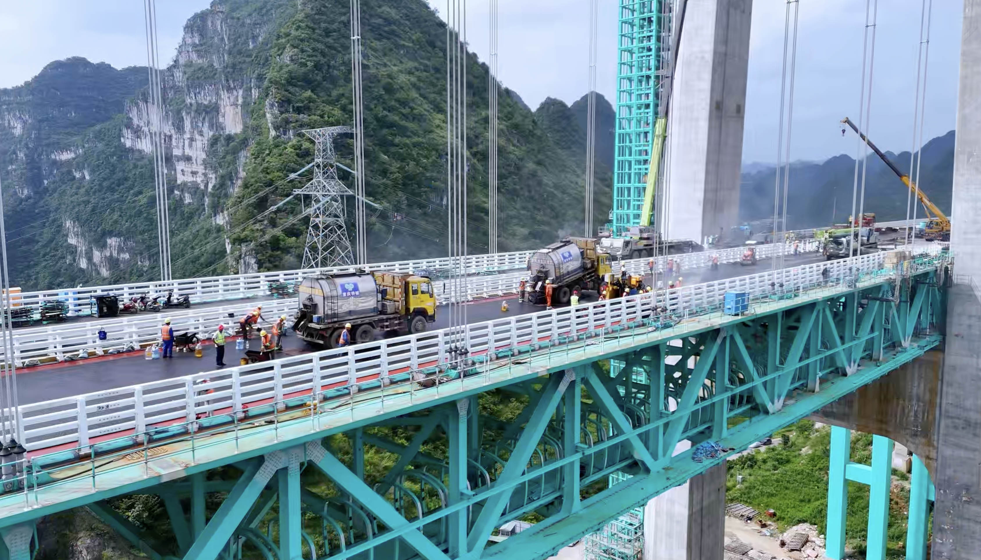
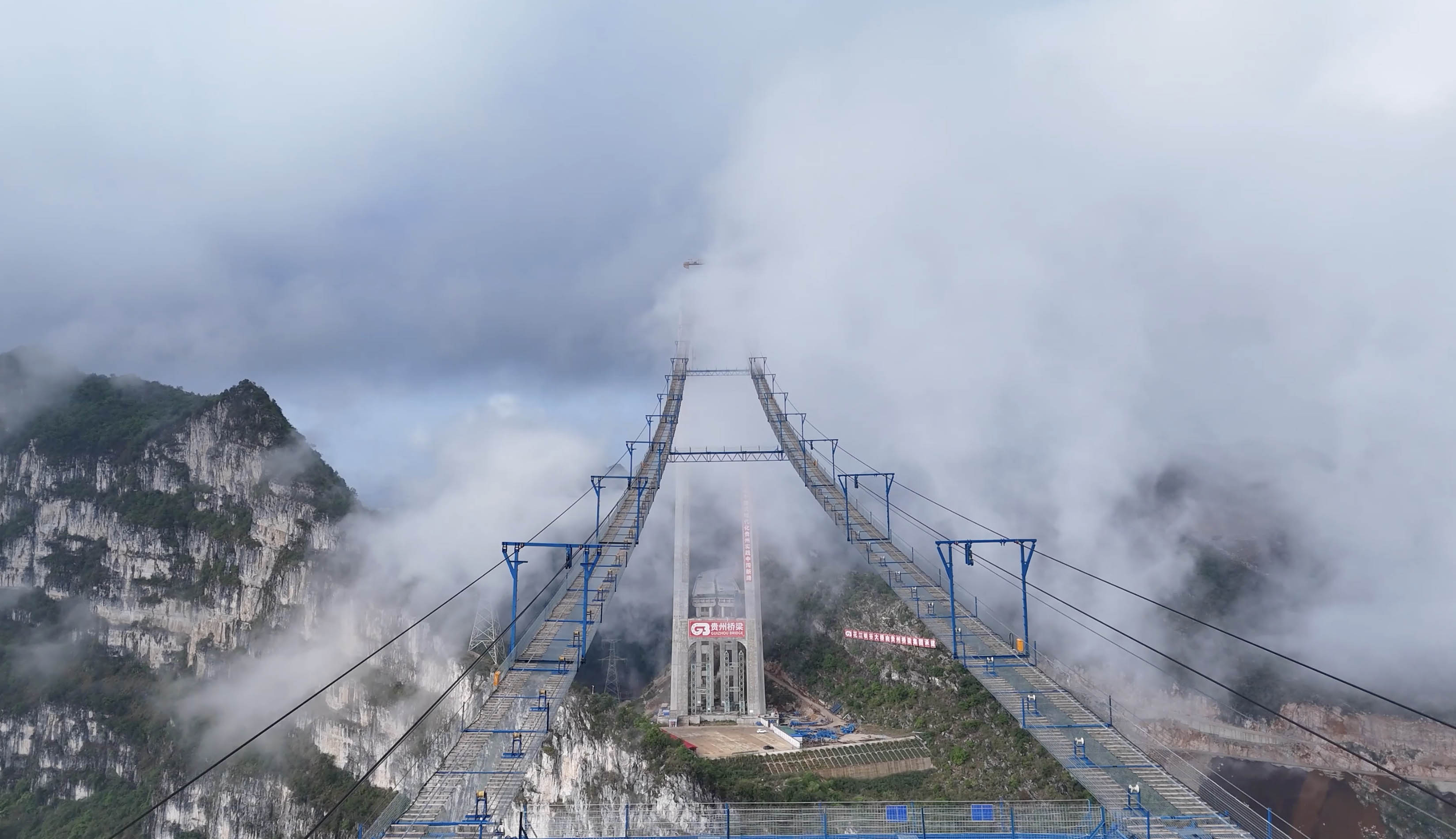
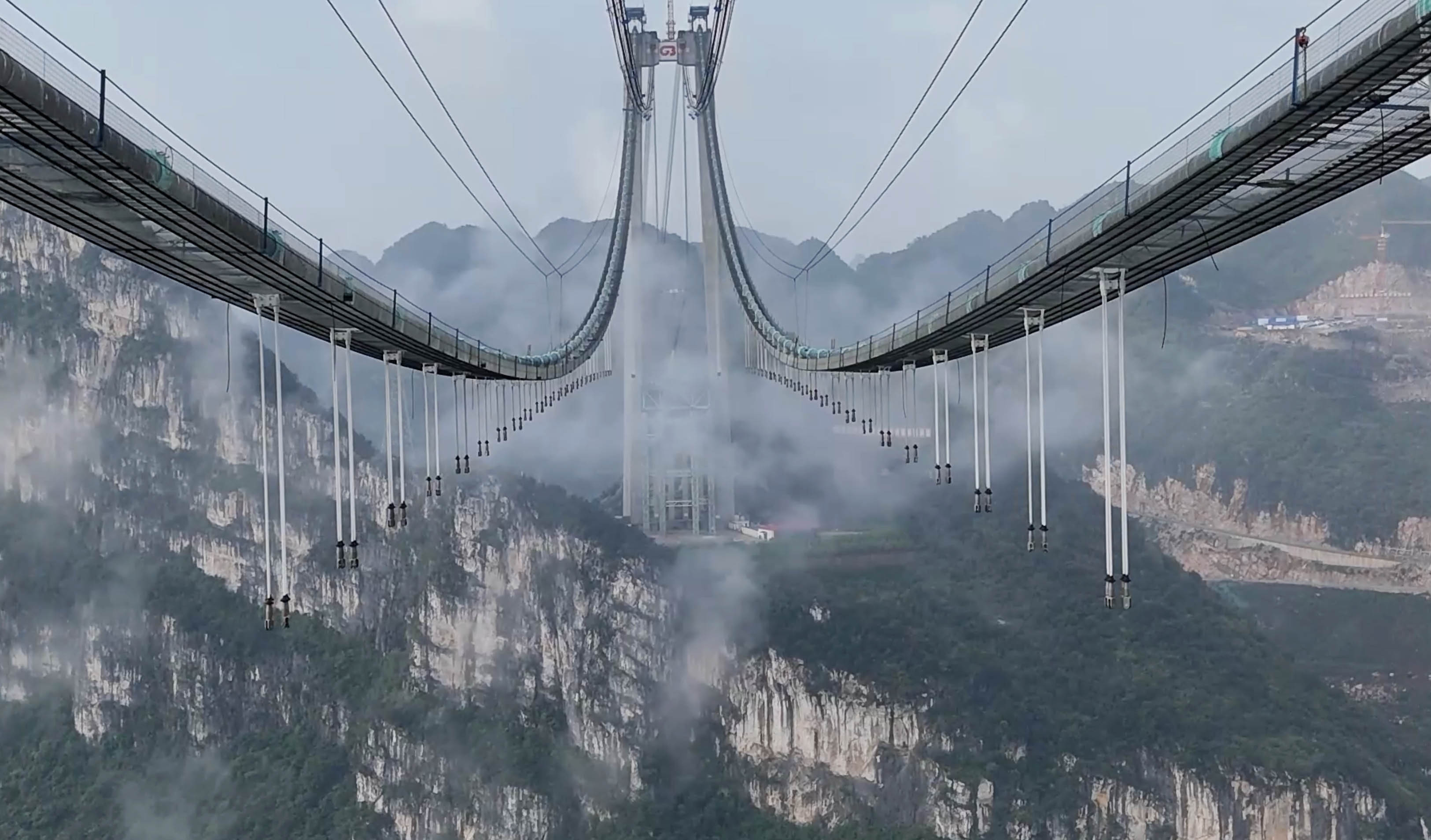
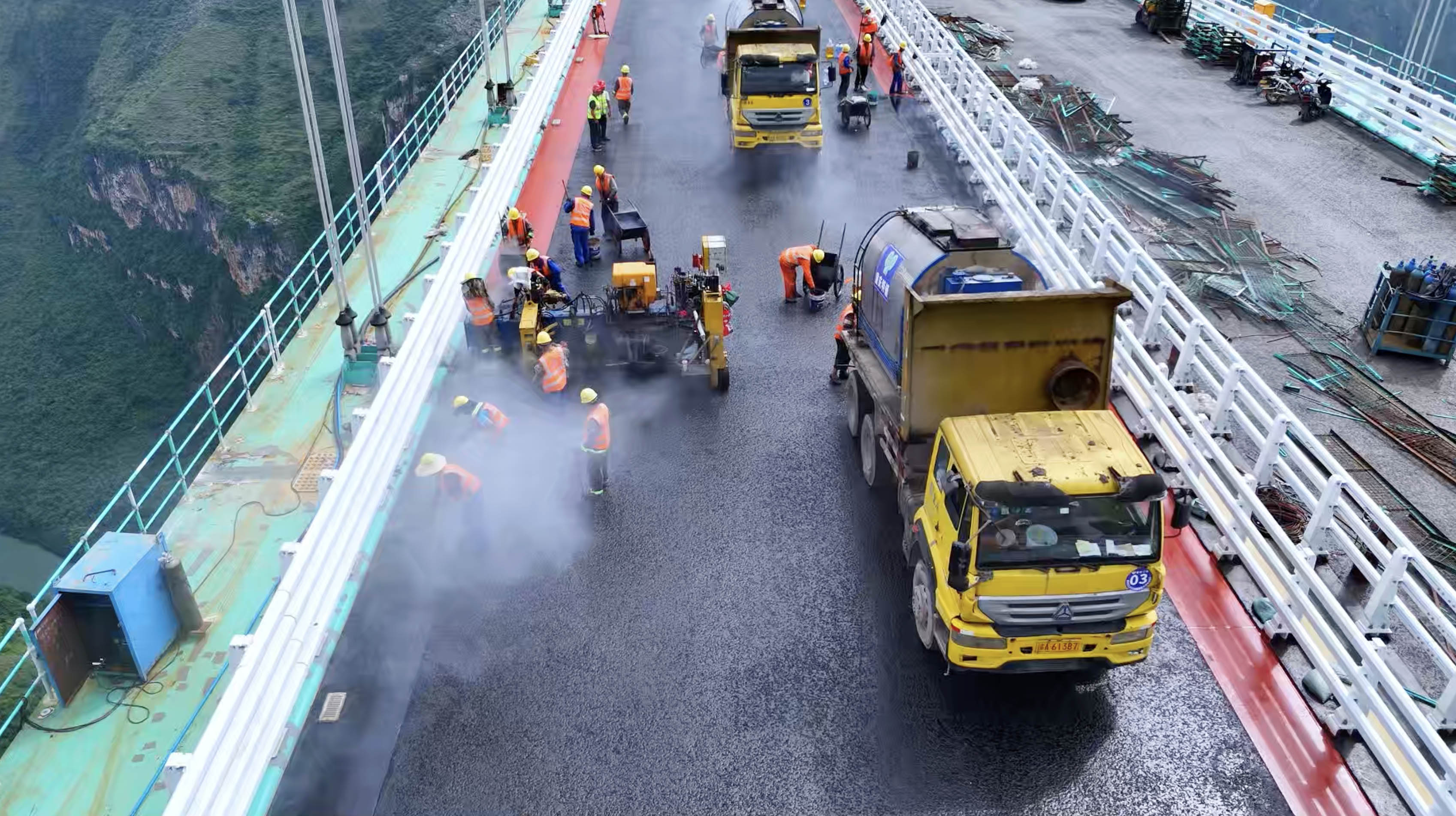
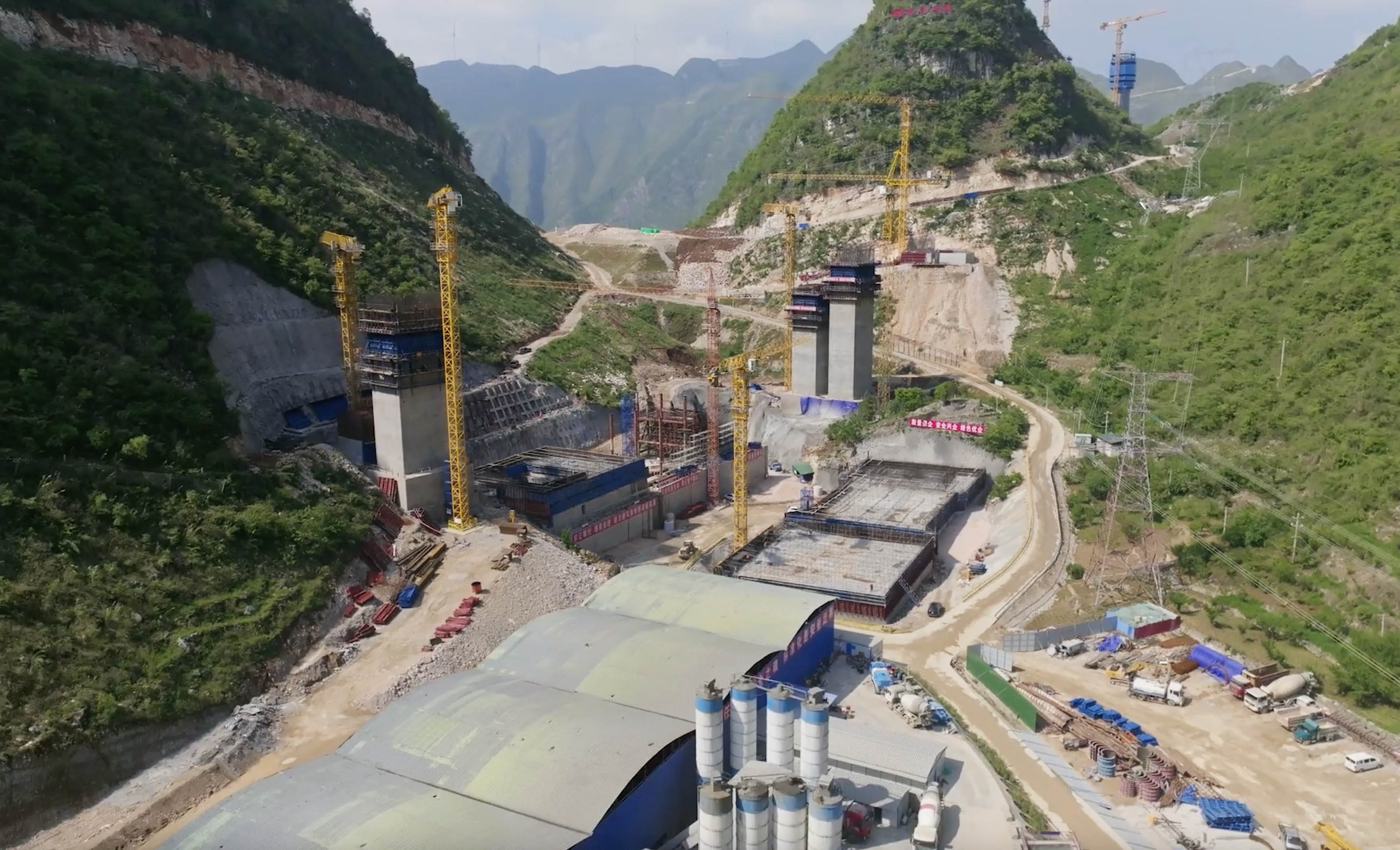
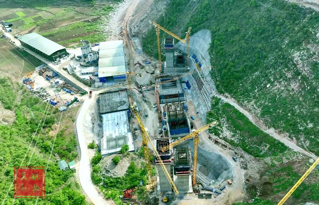
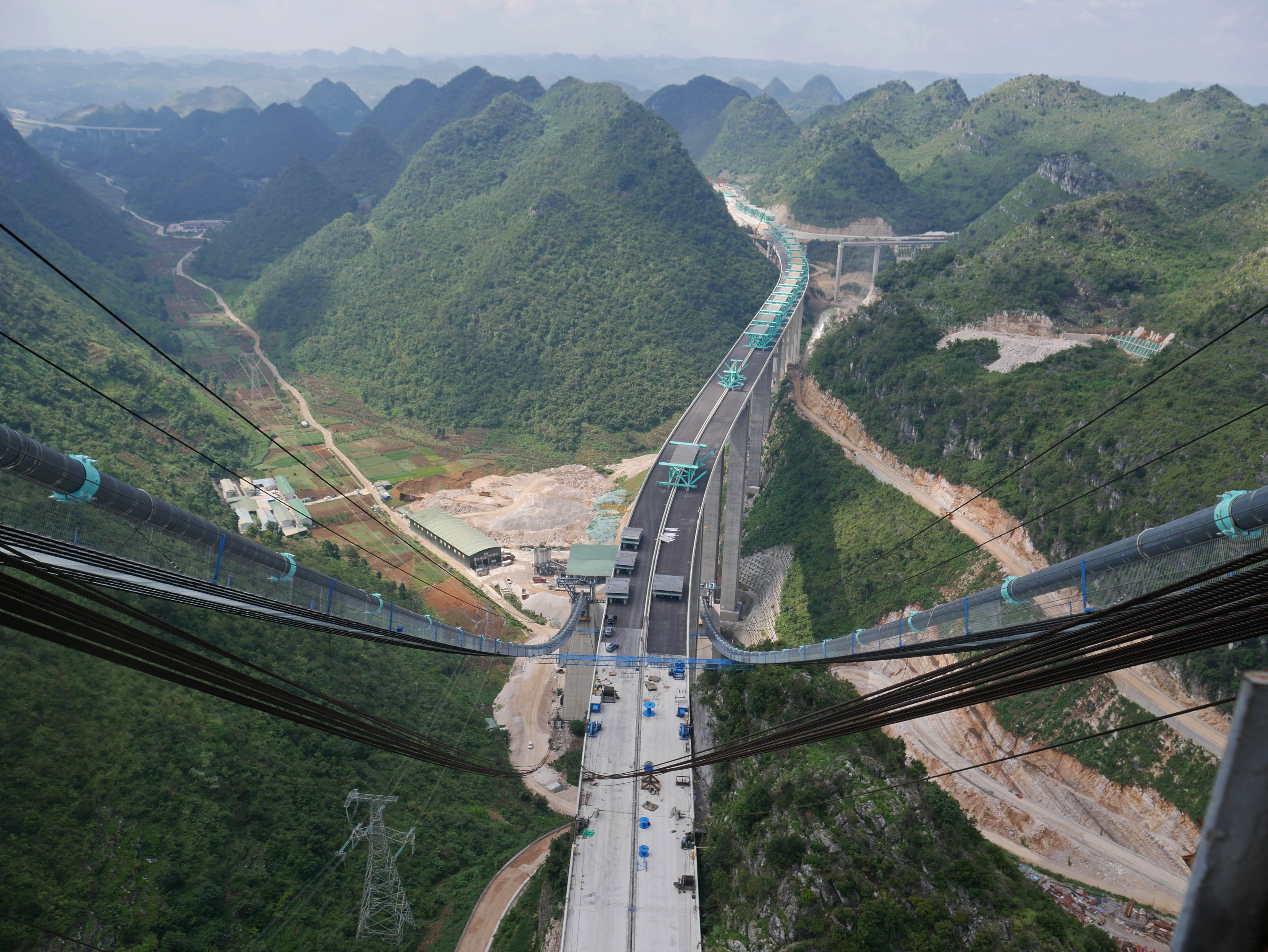
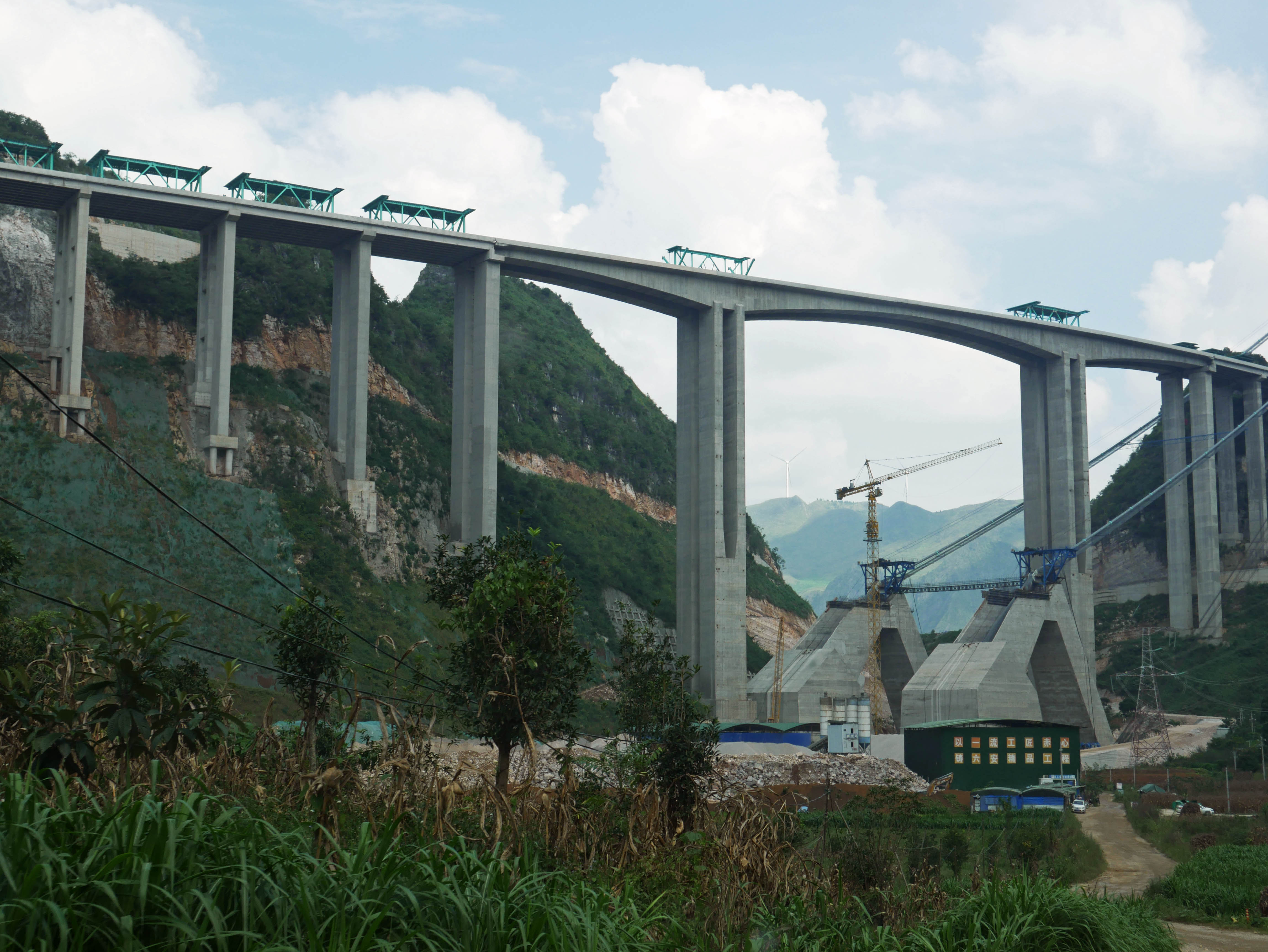
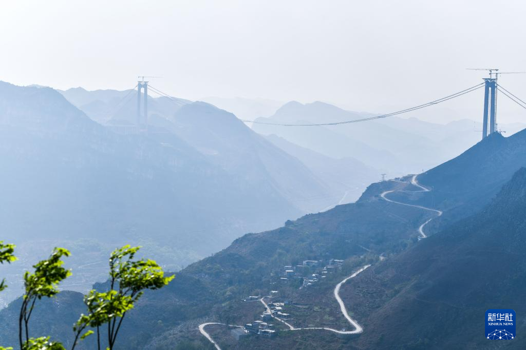
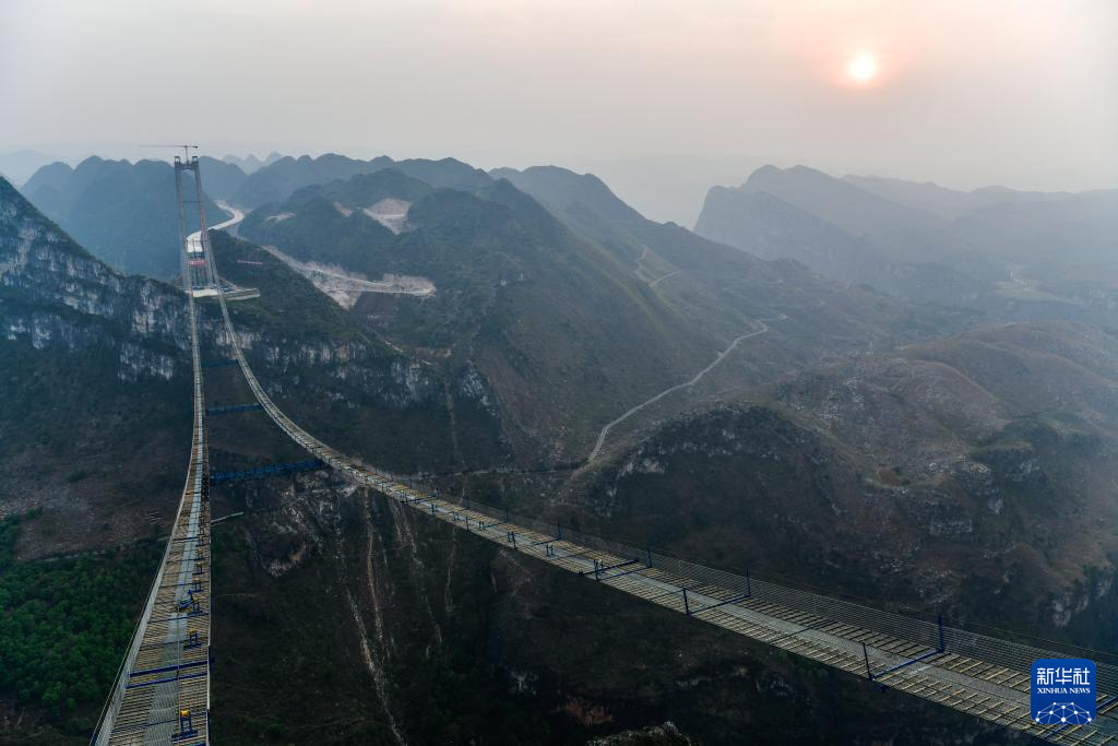
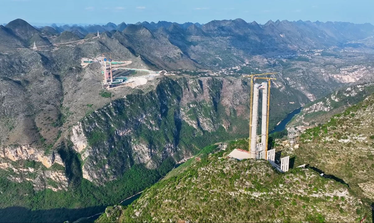
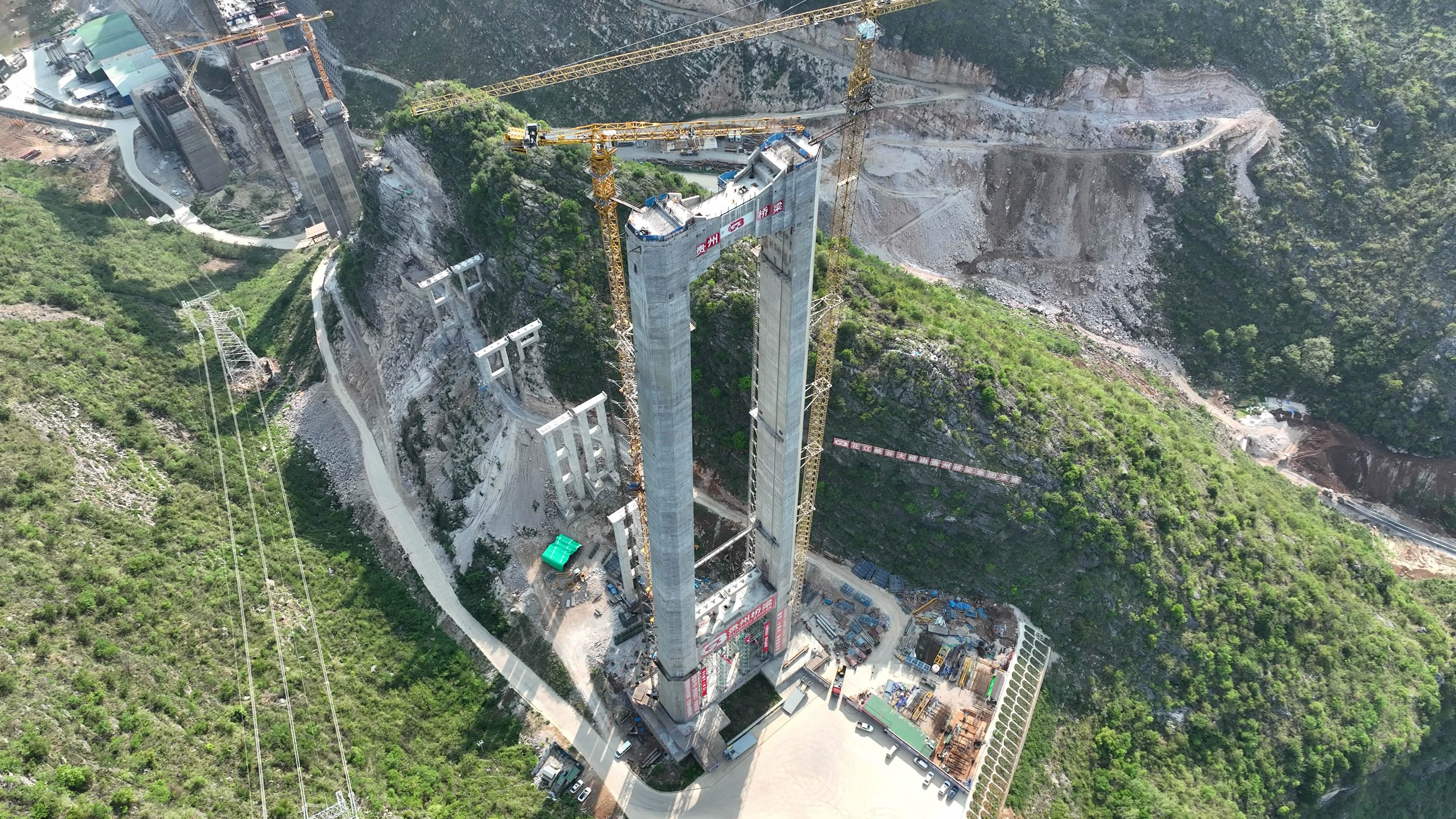
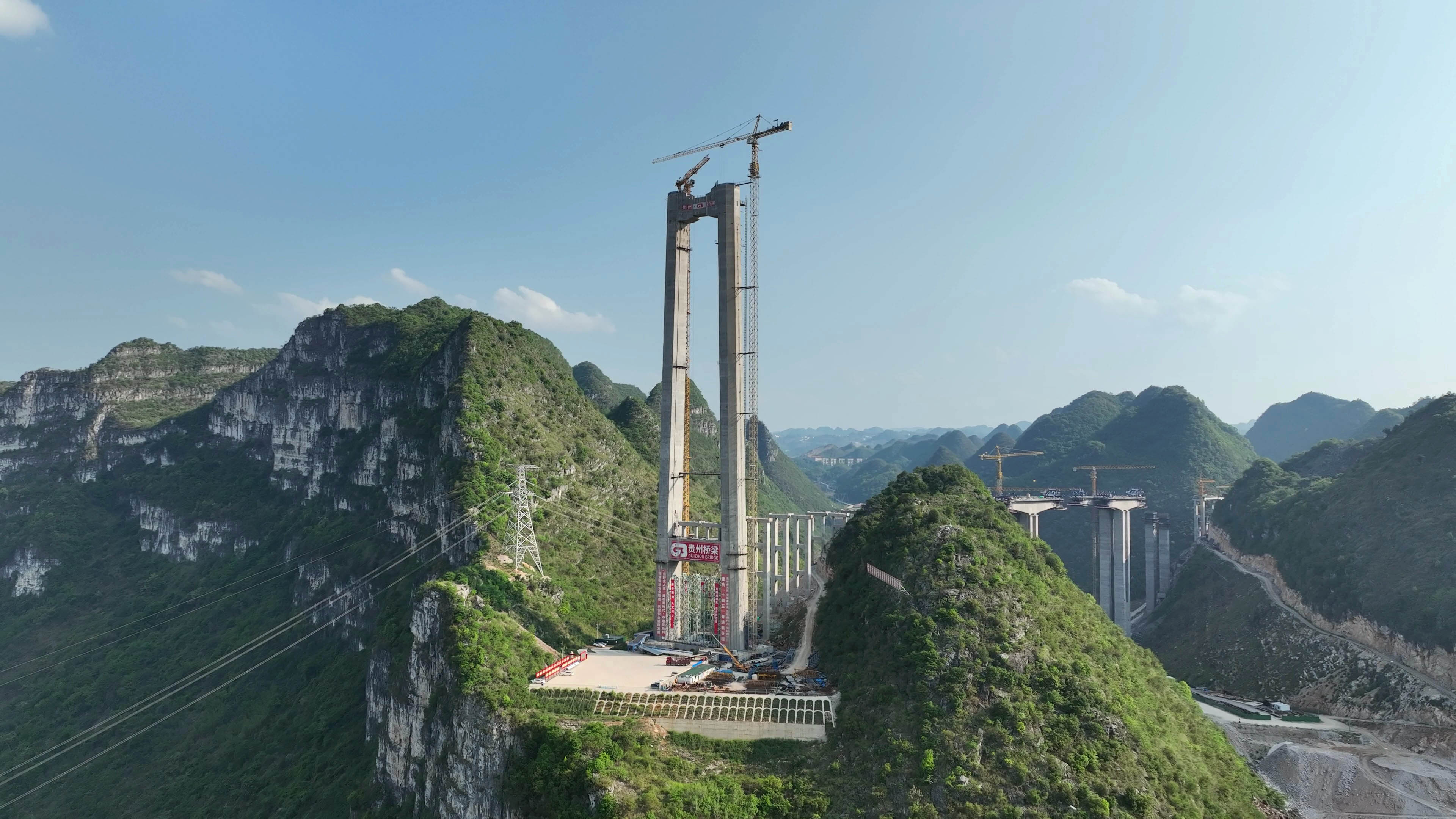
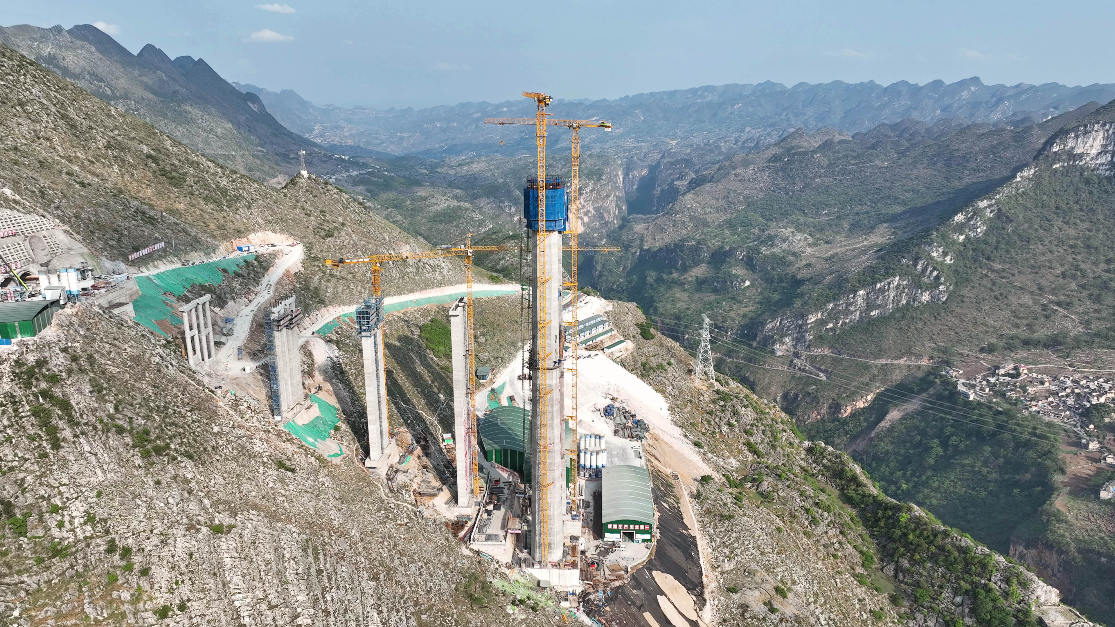
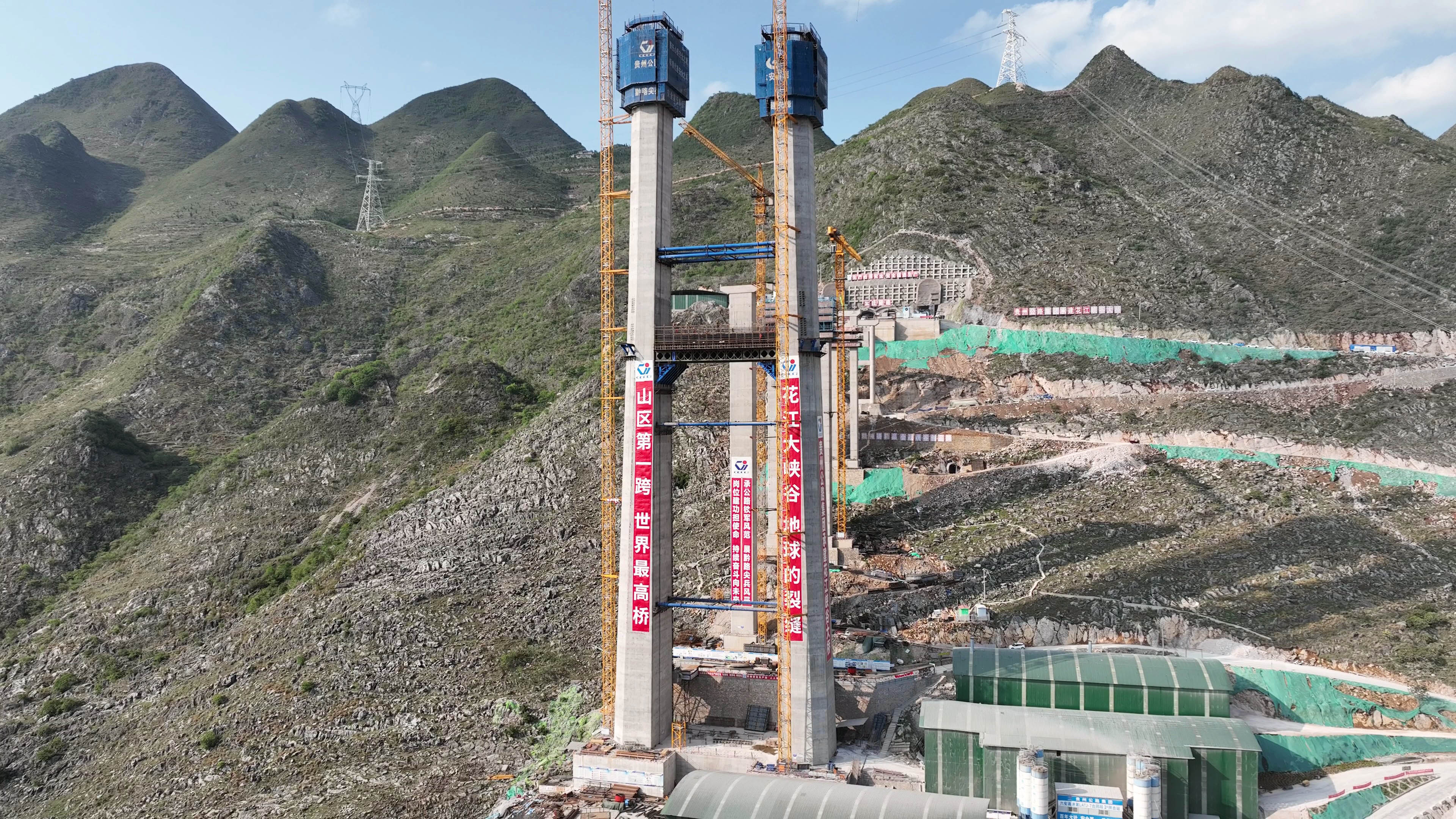
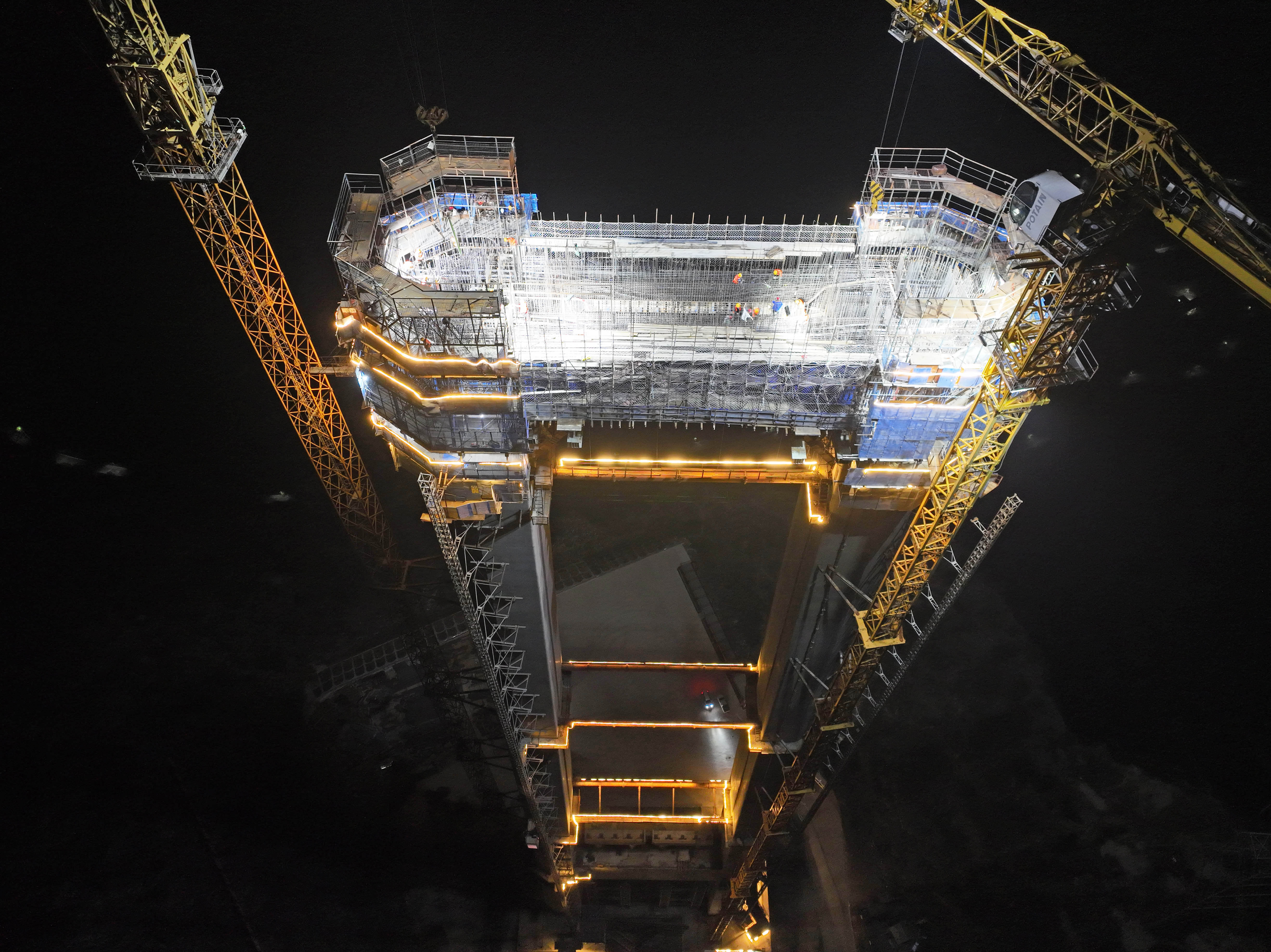
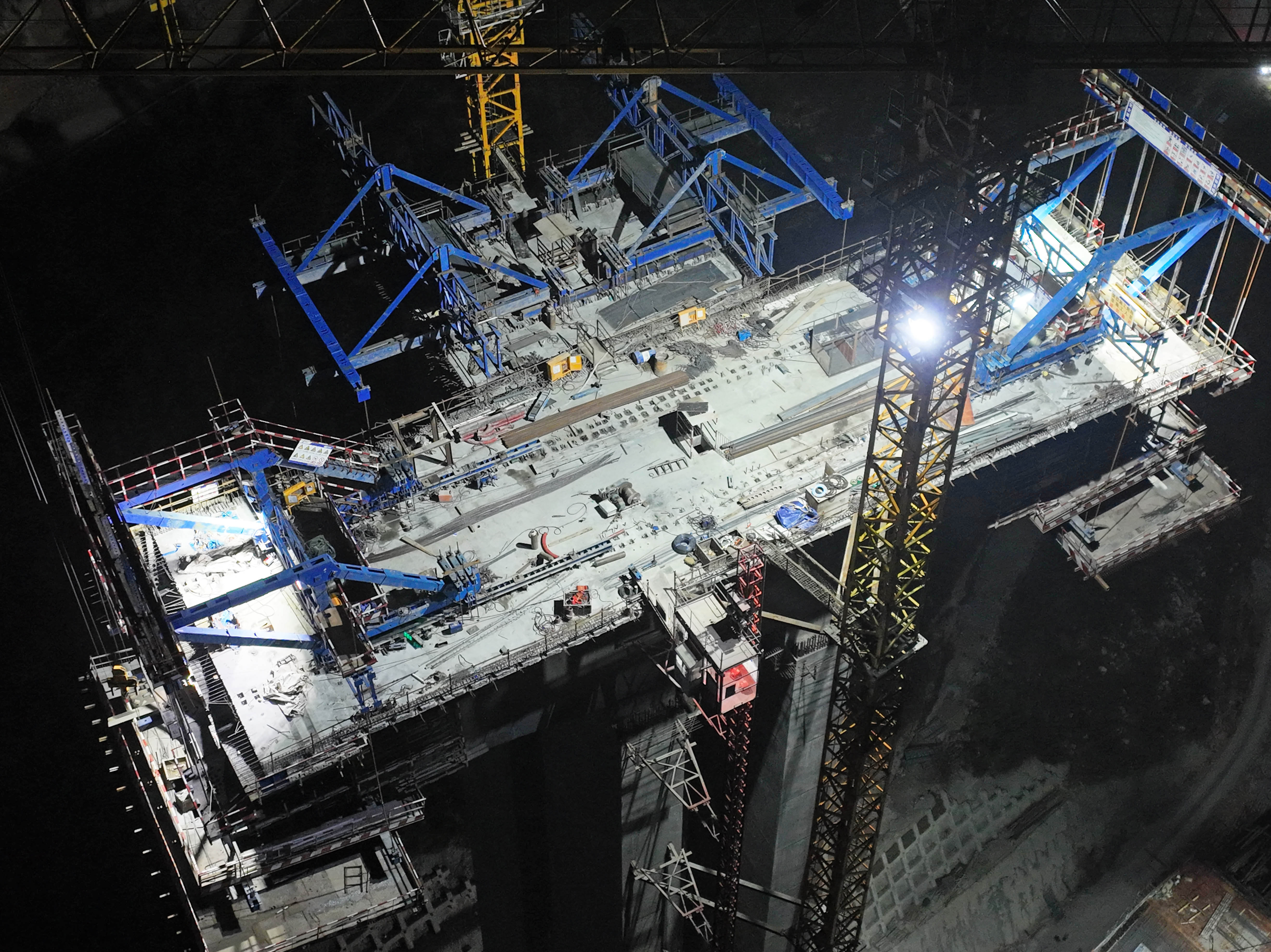
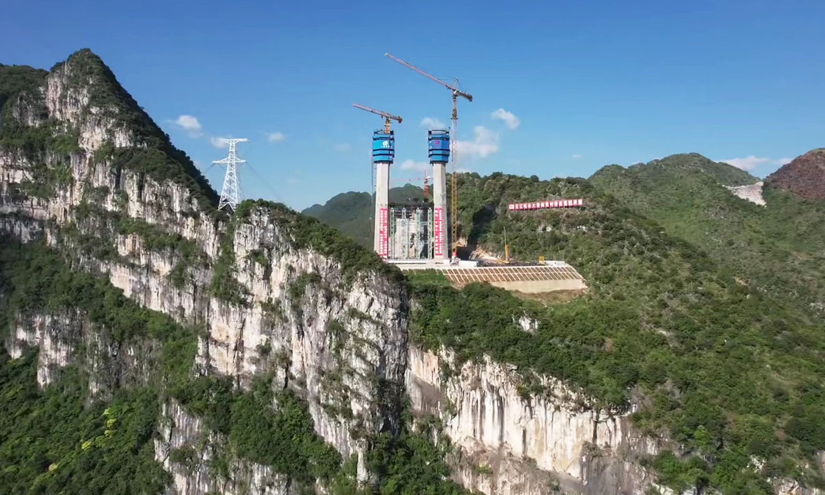
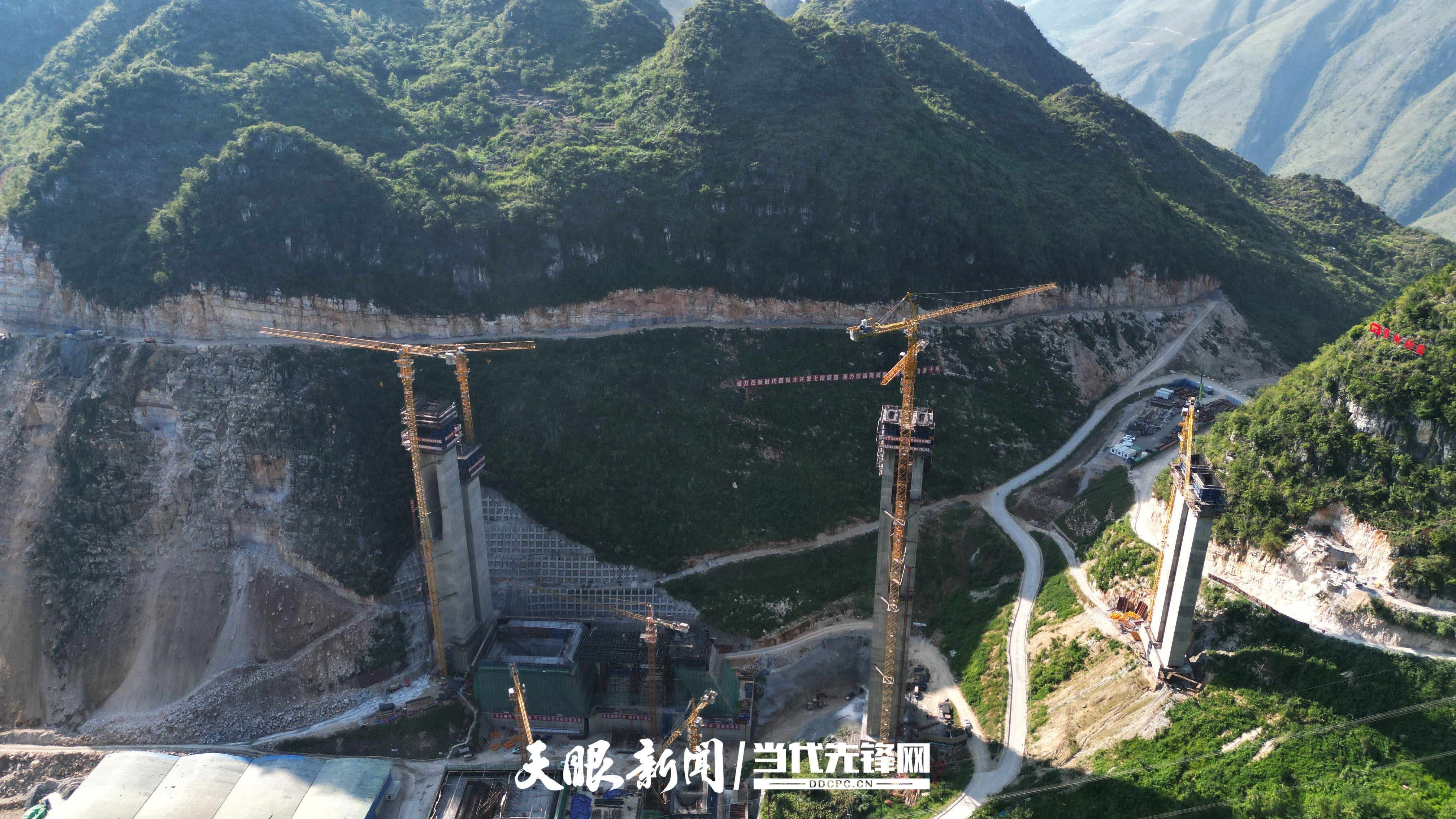
With the Huajiang deck level needing to be at an elevation of at least 1,100 meters, the engineers had no choice but to go across the 625 meter deep gap with a suspension span of epic proportions. The decision was made to go with a stiffened steel truss with a main span of 1,420 meters or 10 meters longer than the Humber Bridge, a suspension span in the UK that held the record as the world’s longest suspension bridge for 17 years. The steep slope on the north side of the Huajiang Canyon also required the construction of a concrete tower 262 meters tall with the south tower being a more normal-sized 205 meters tall. The total length of the bridge is 2,890 meters with more than two dozen approach spans of 40 meters.
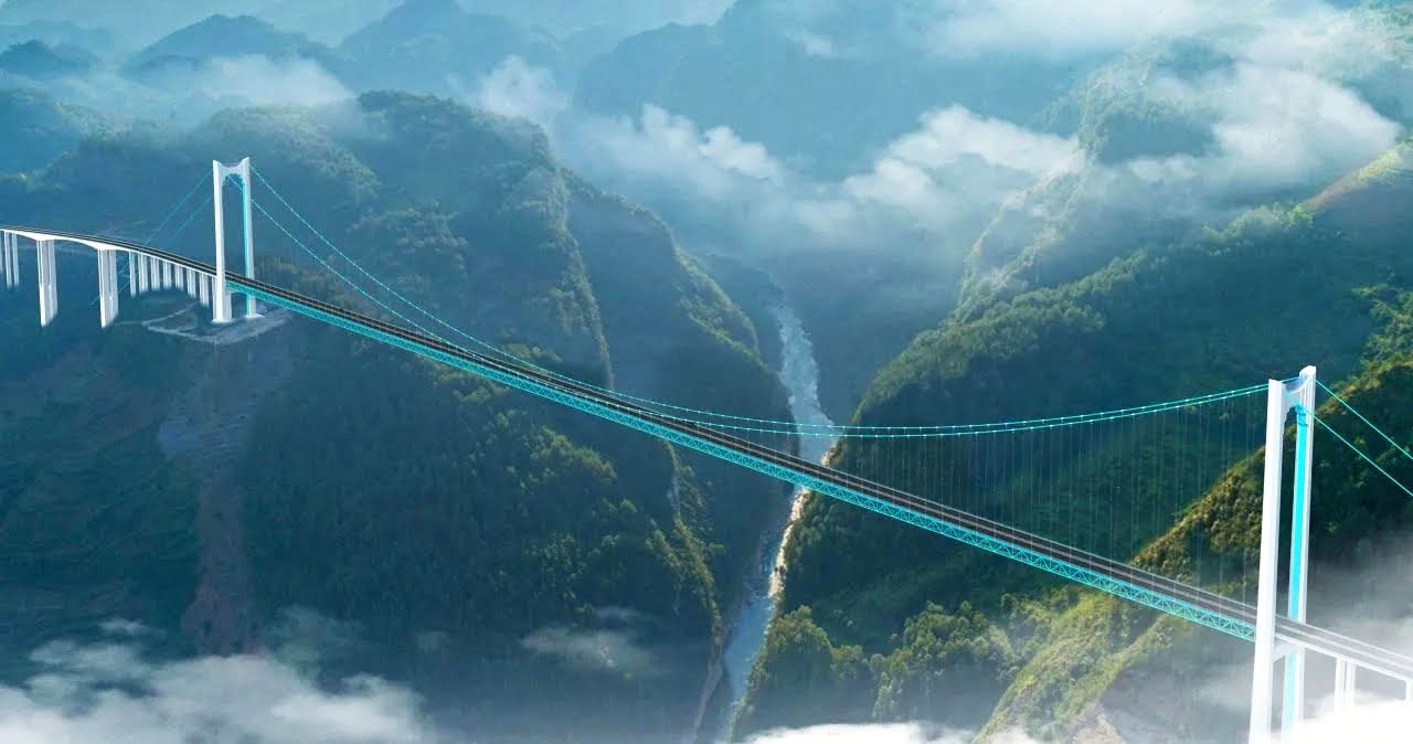
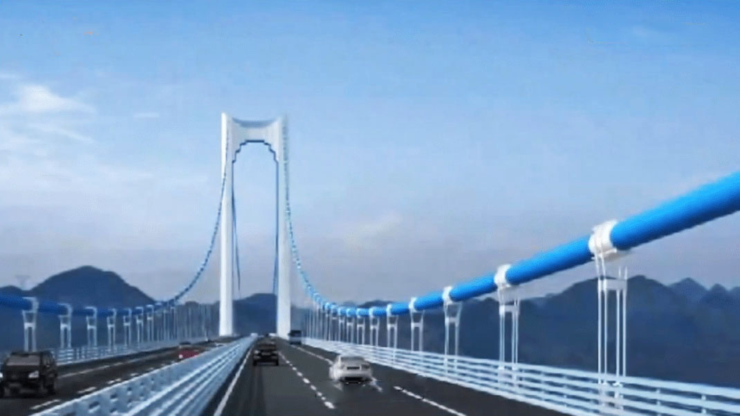
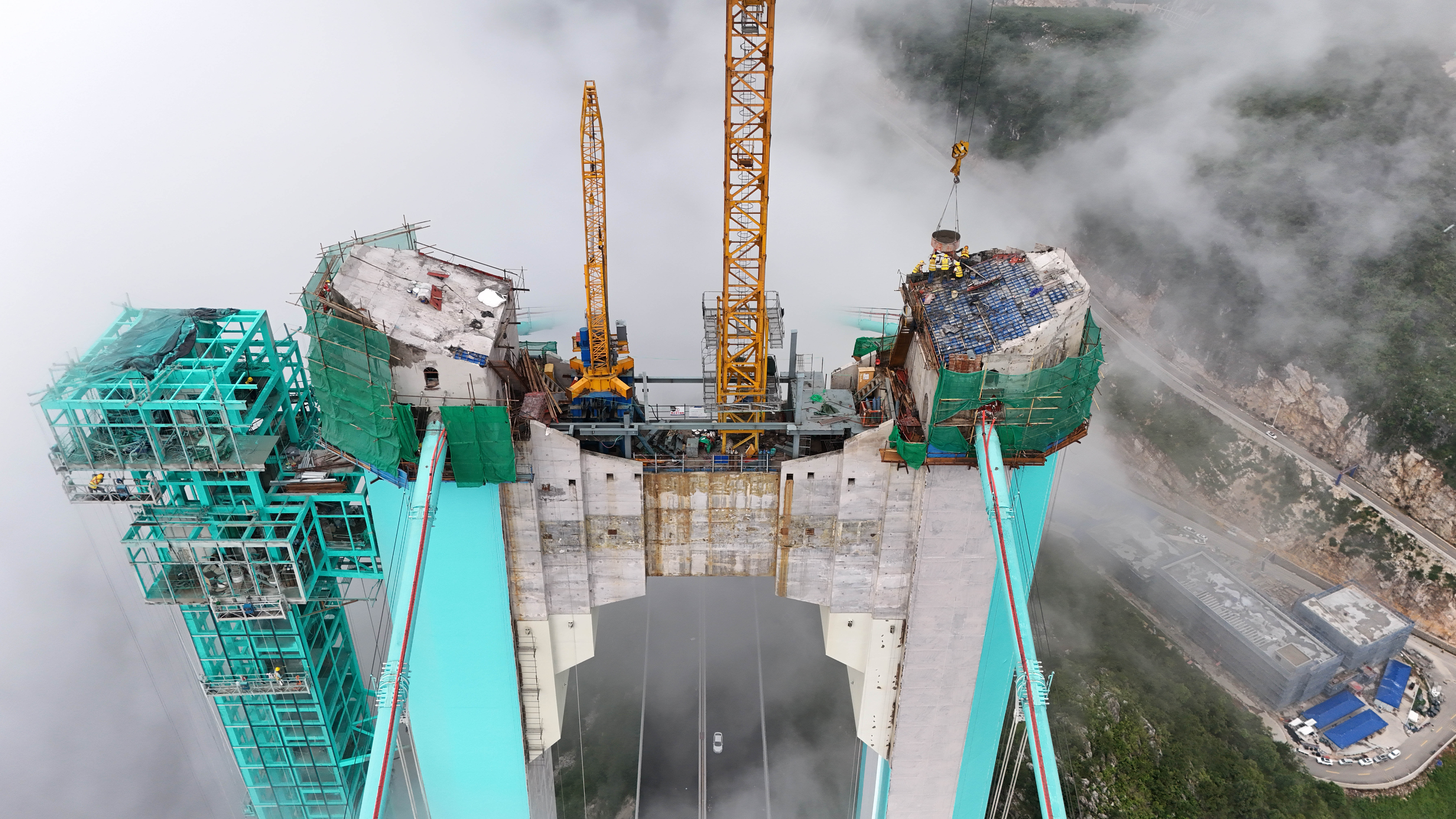
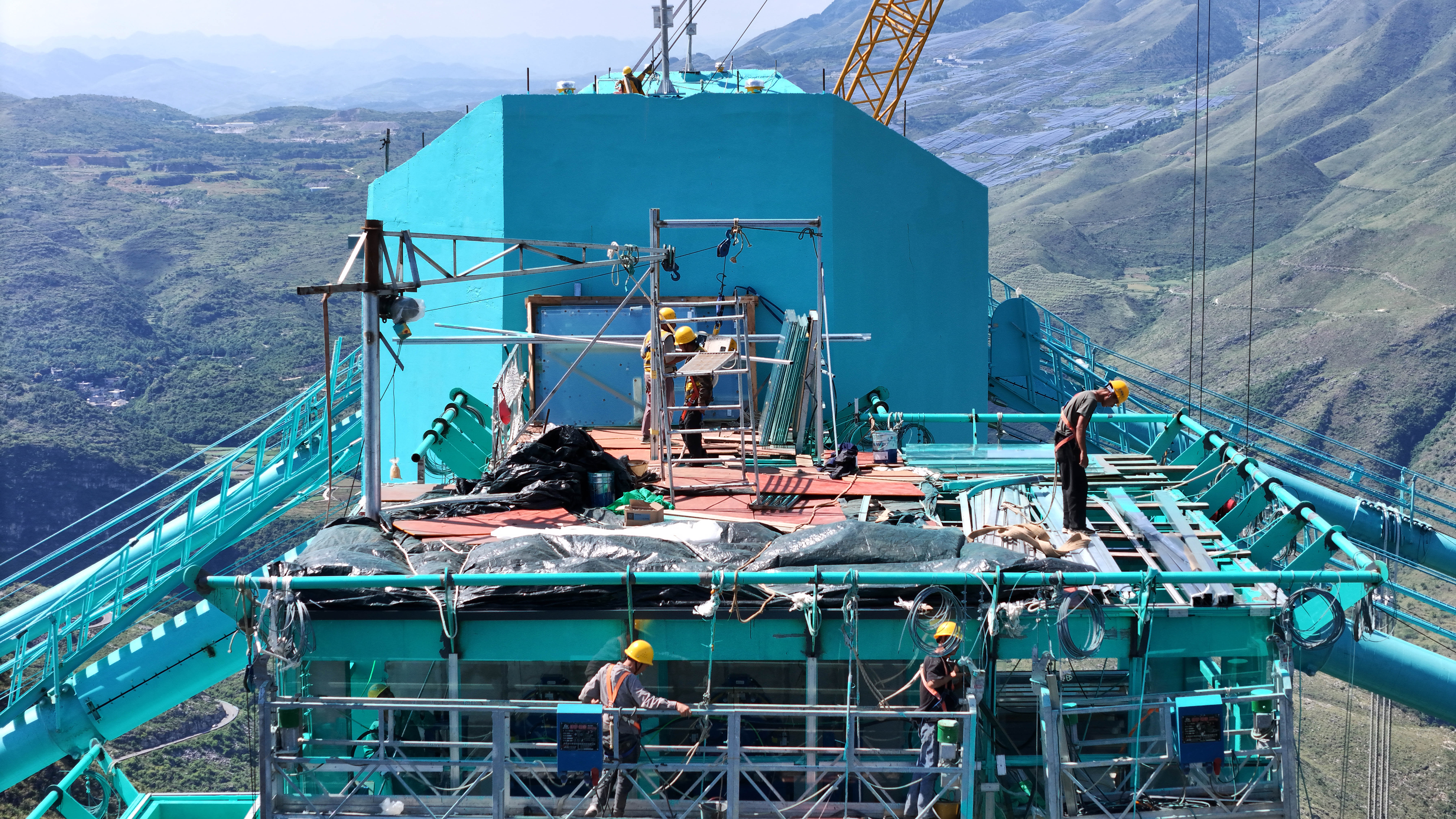
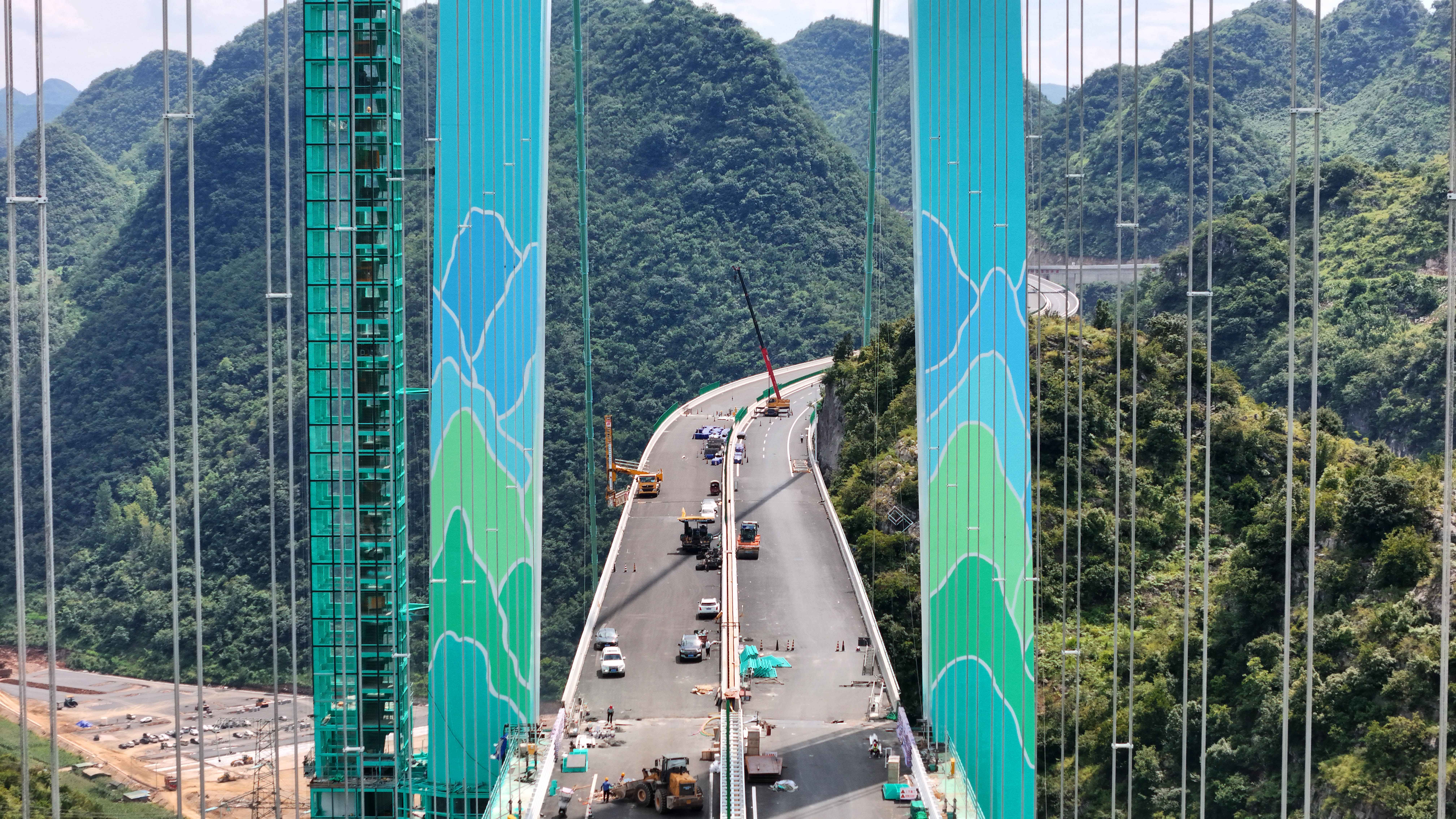
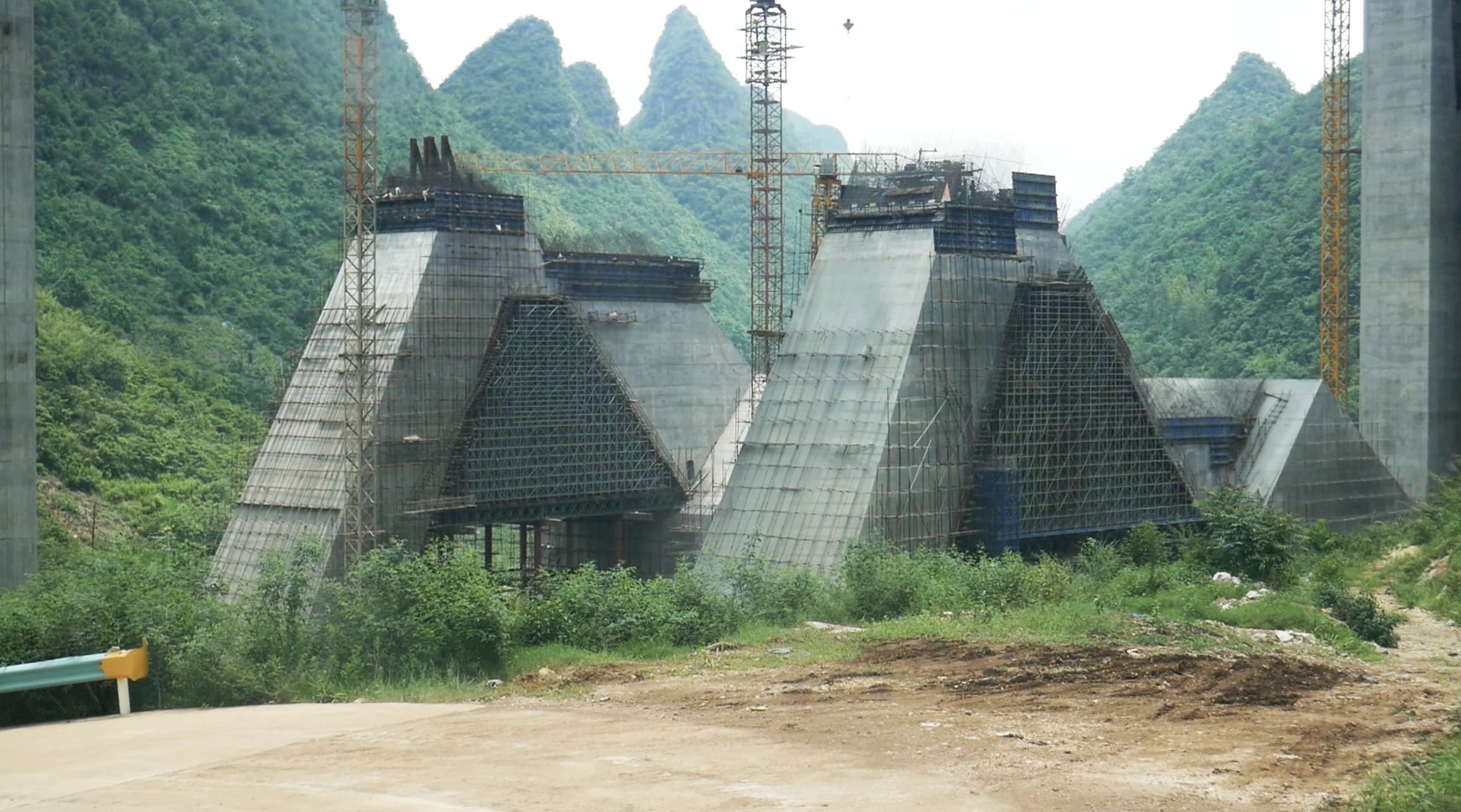
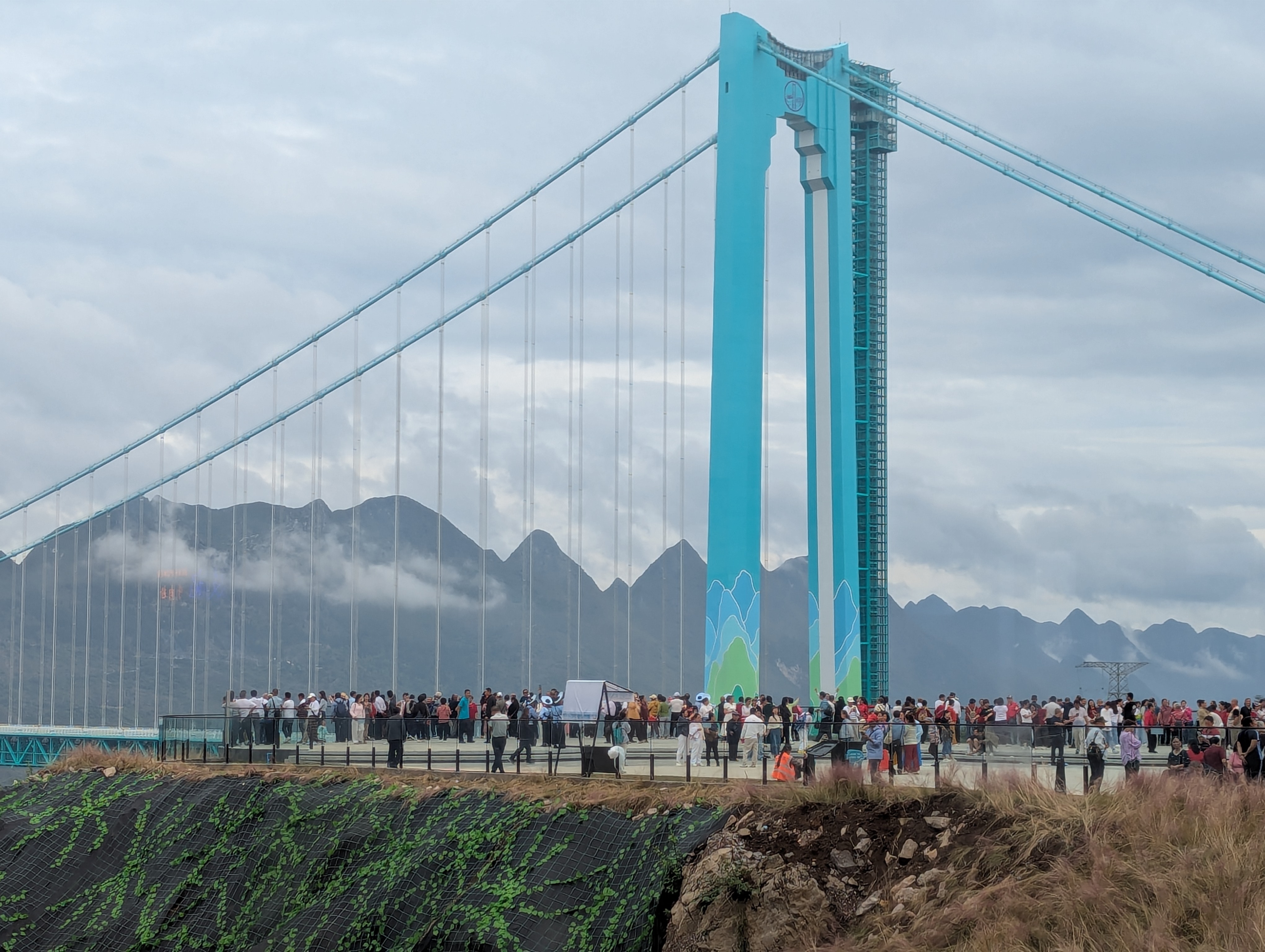
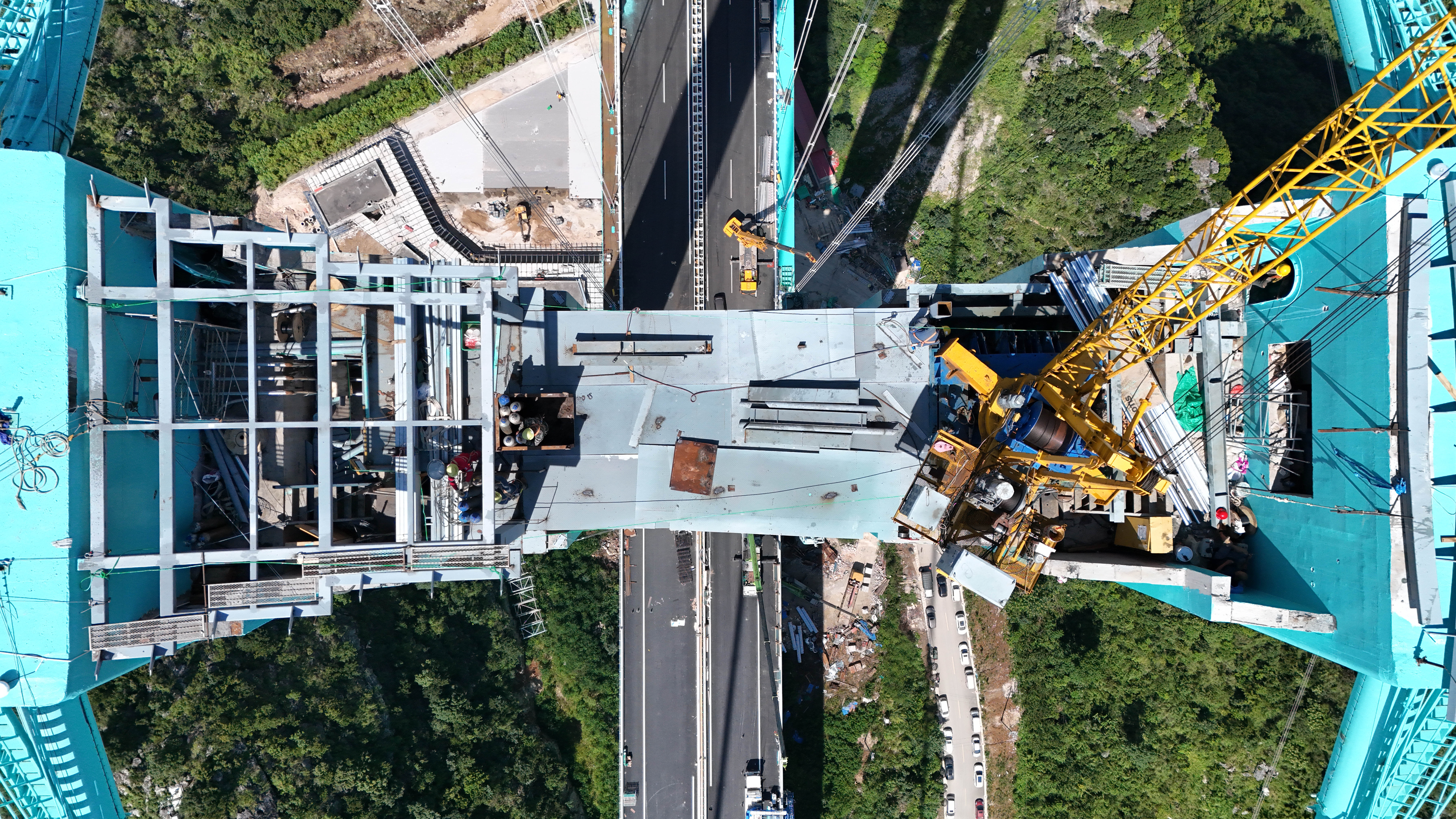
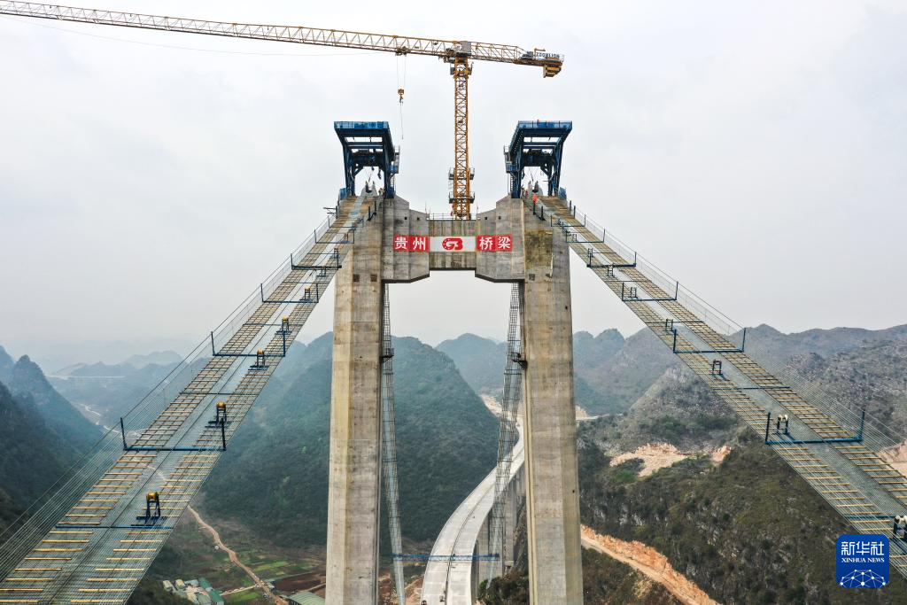
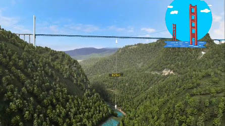
As common as steel truss stiffened suspension bridges are, the designers of the Huajiang Bridge wanted to give the span a classic look that would remain forever timeless. Nowhere is this more evident than in the tower connections which harken back to the Art Deco-era with a layered tower top connection that has dramatic setbacks that will remind many of the Golden Gate Bridge in San Francisco.
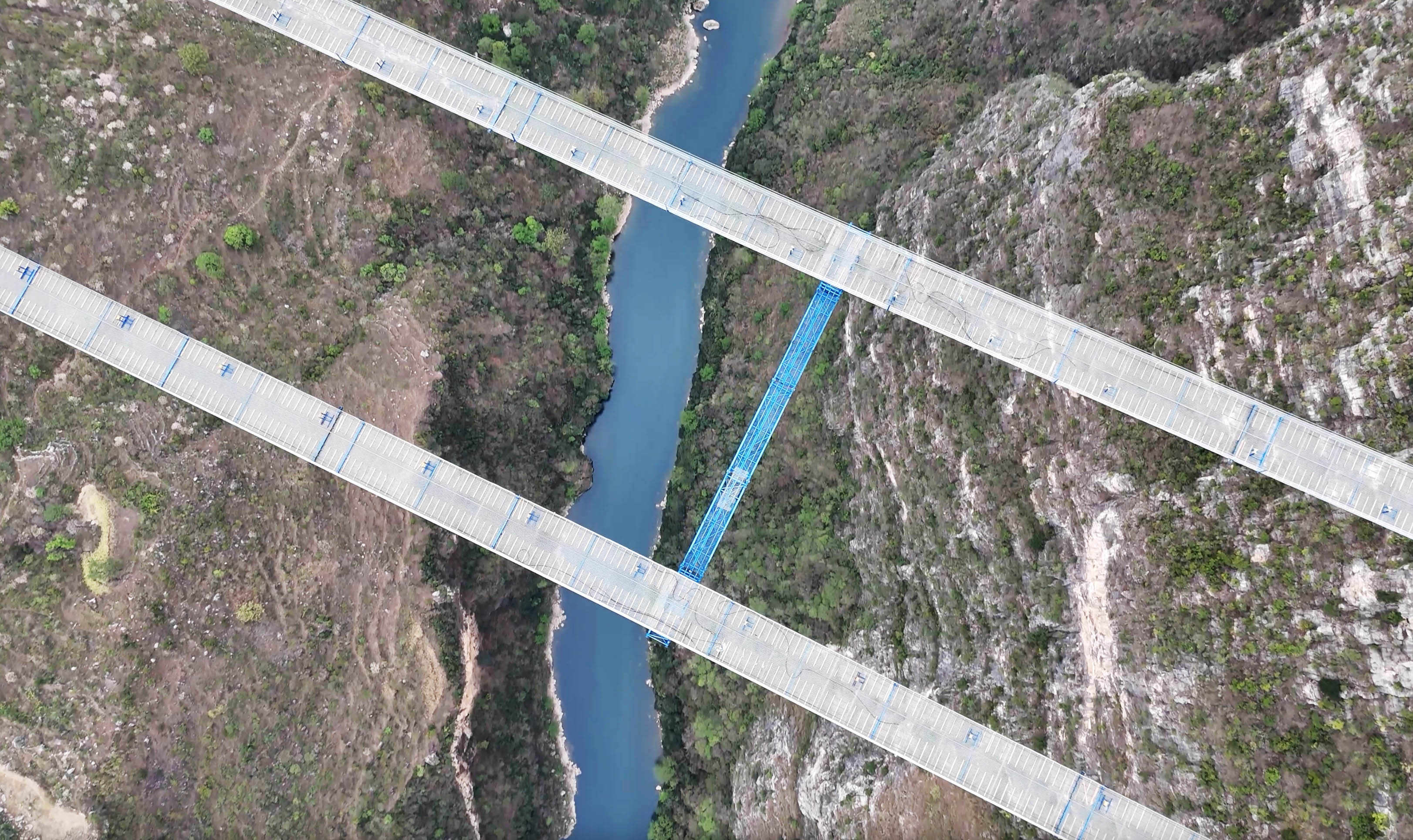
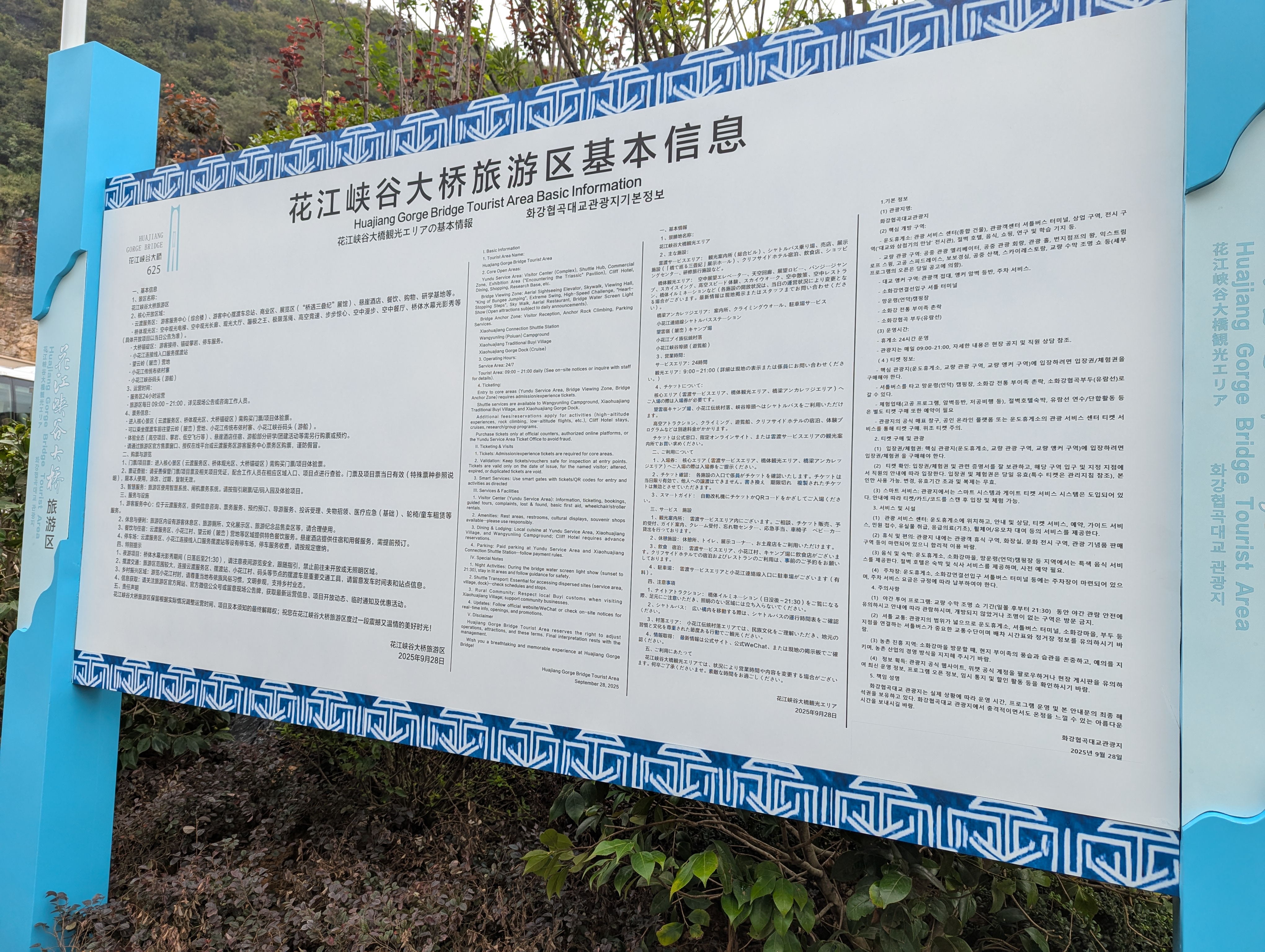
With only one small road winding through the remote canyon location, the crossing has an untouched natural beauty that is simply stunning. With the project having so many “Grand” superlatives, the leaders of Zhenfeng County decided to turn the bridge into a full on tourist attraction, the likes of which we have never seen before on a suspension bridge. These new attractions would add enough weight and wind resistance to the original design that the planned 7.5 meter deep truss needed to be extended to a depth of 8 meters.
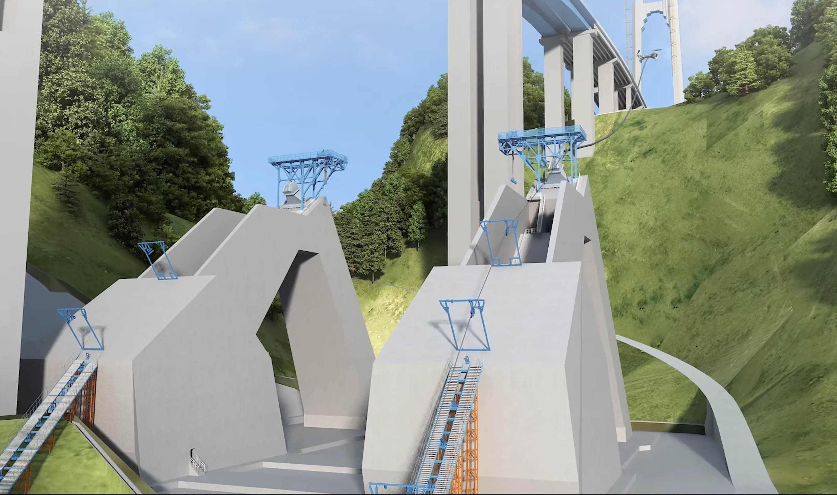
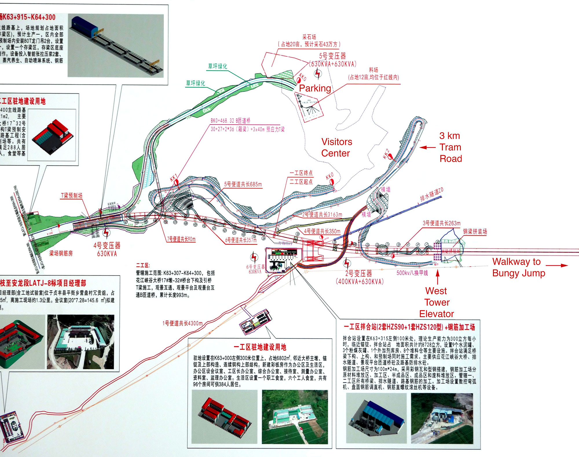
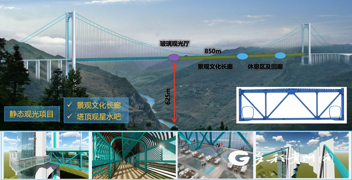
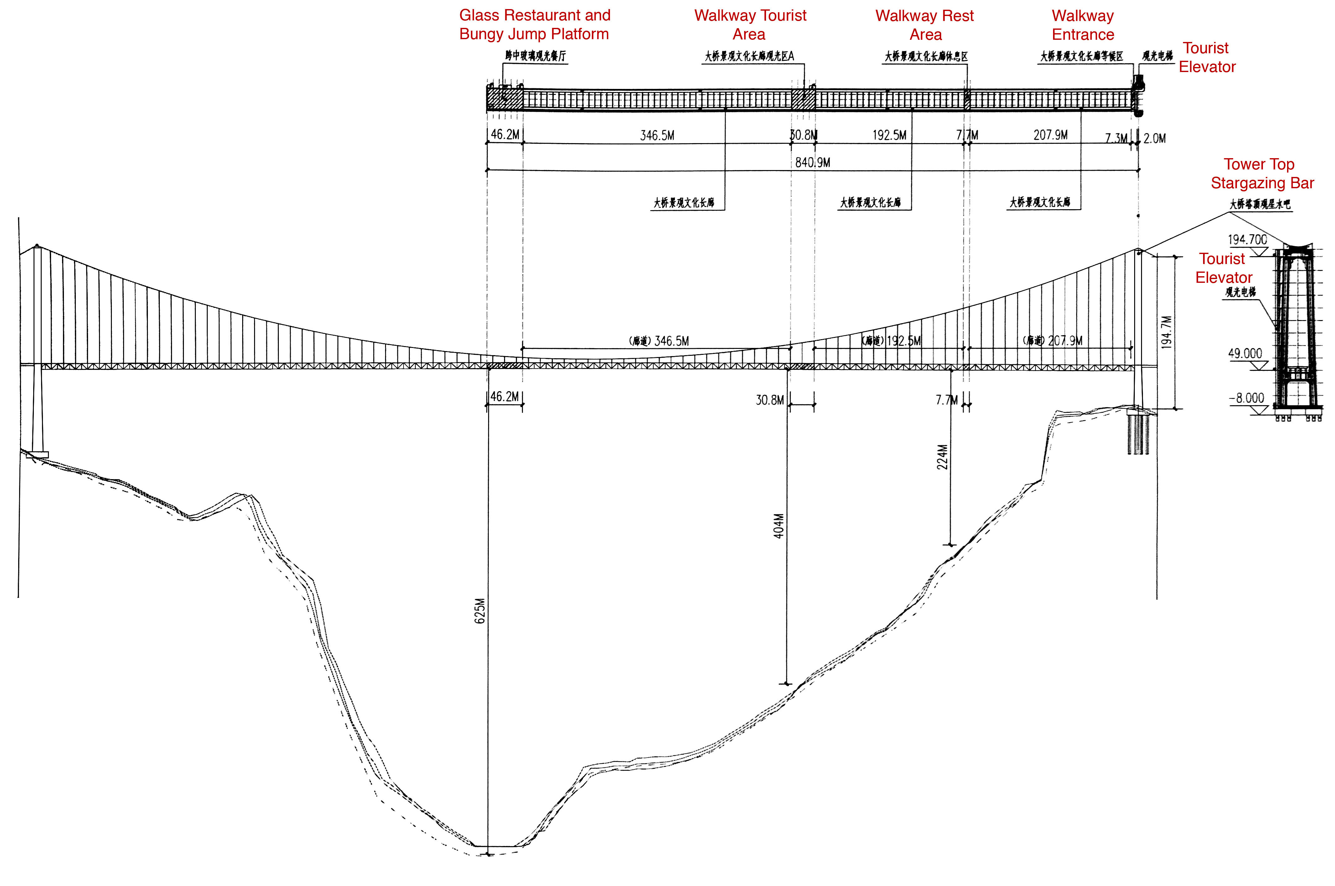
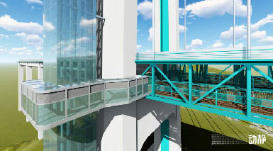
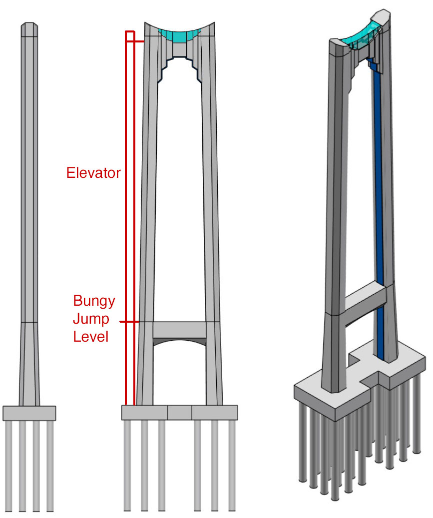
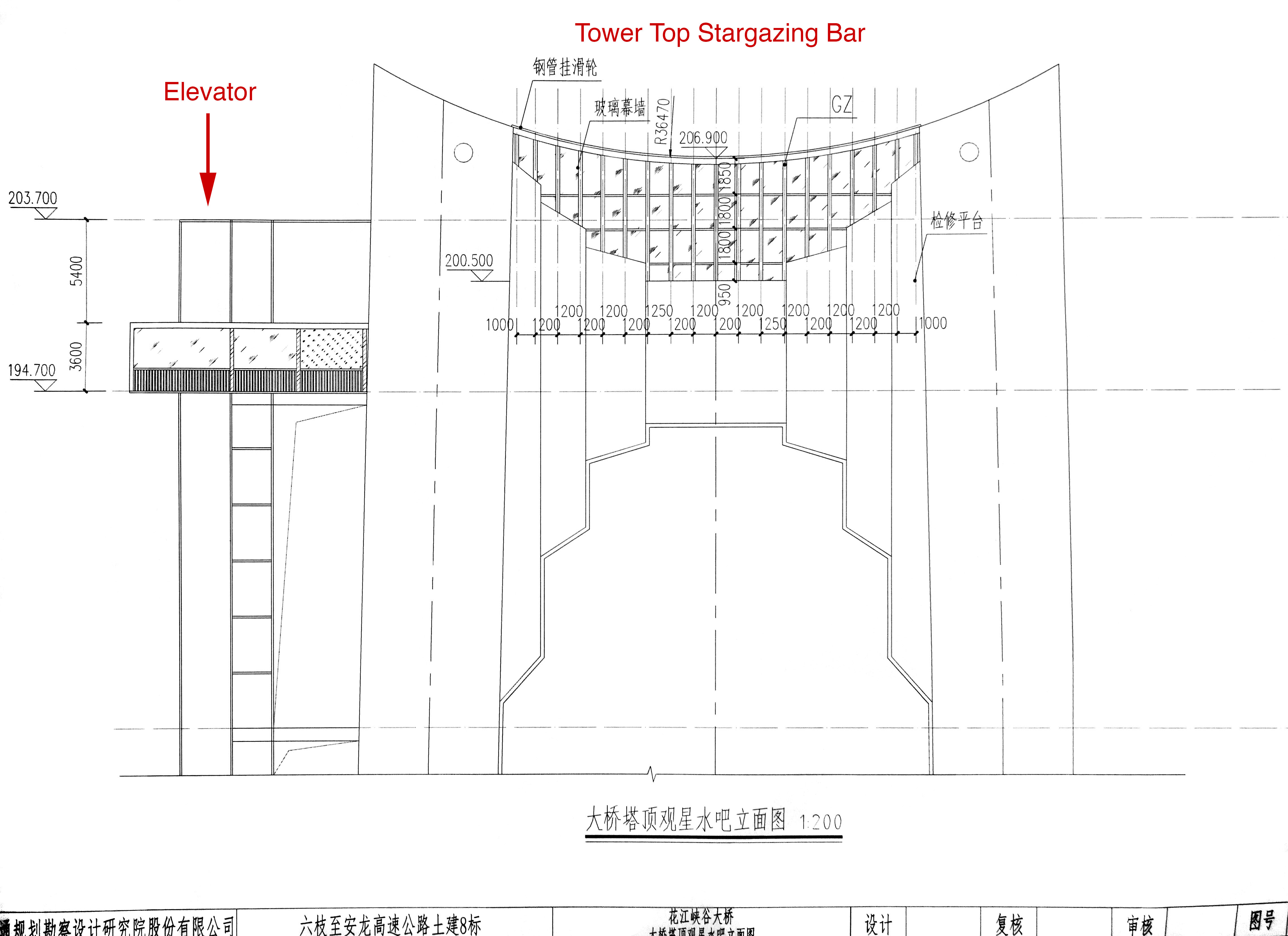
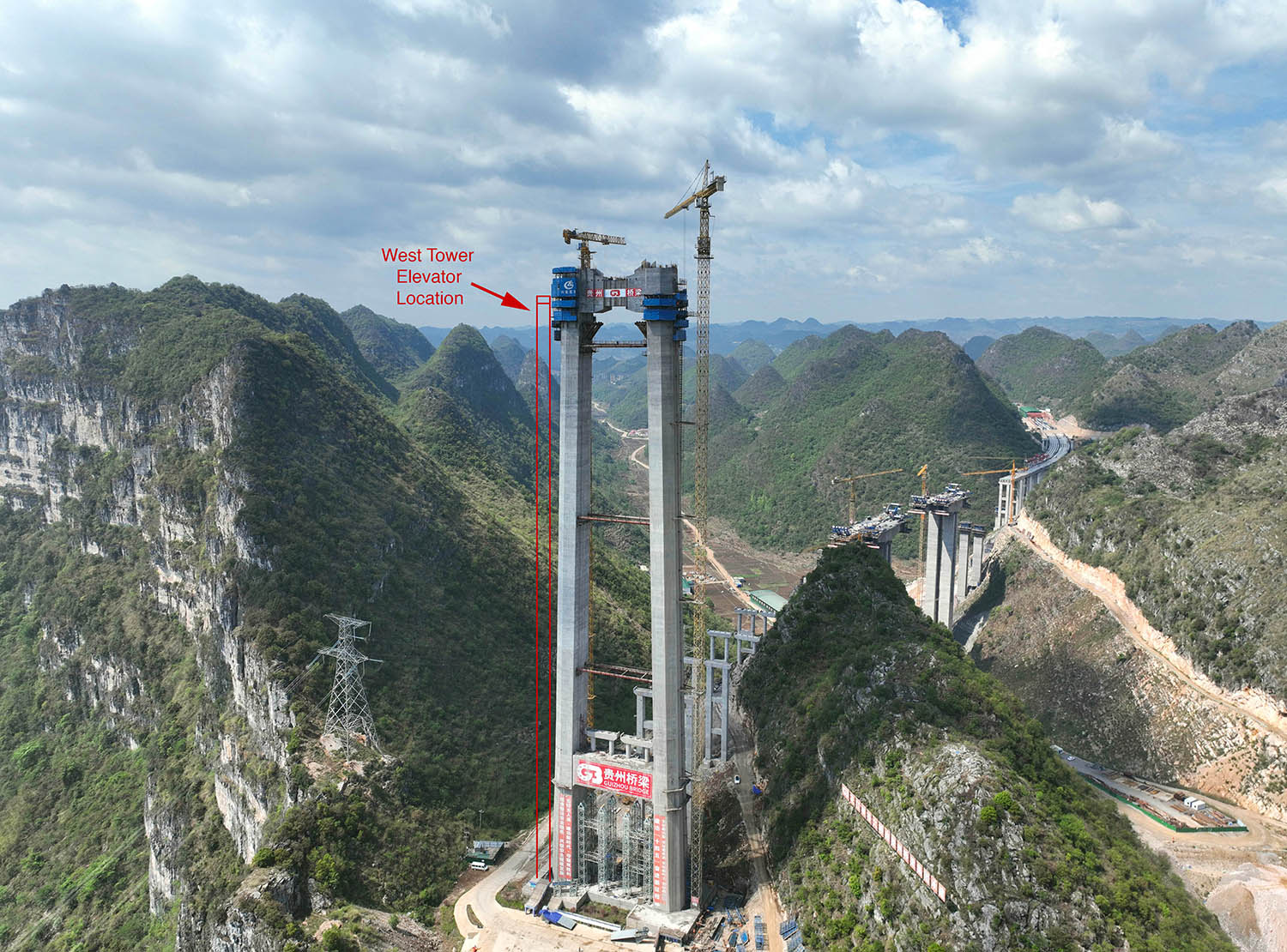
First up will be a glass elevator that will rise to the very top of the south tower where guests can enjoy the Stargazing Bar and Café that will be located directly between the two main cable saddles more than 600 feet above the road deck.
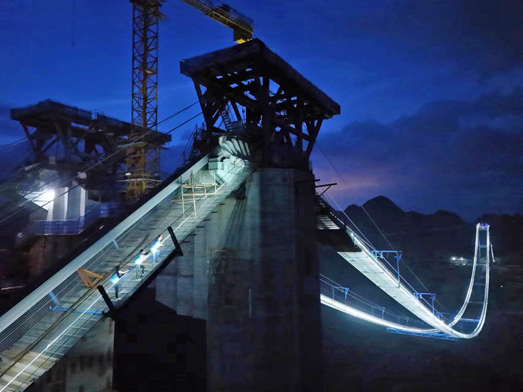
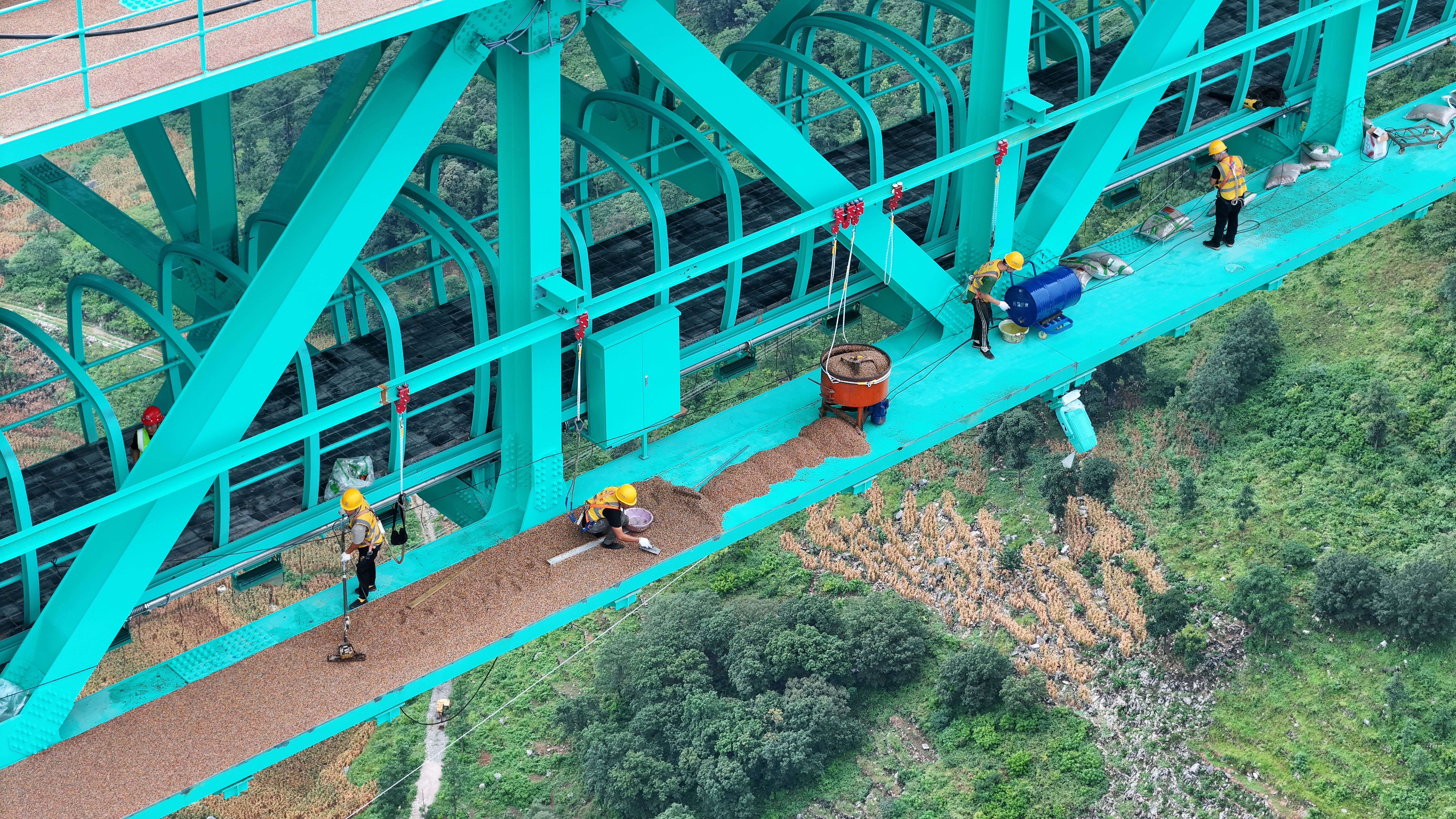
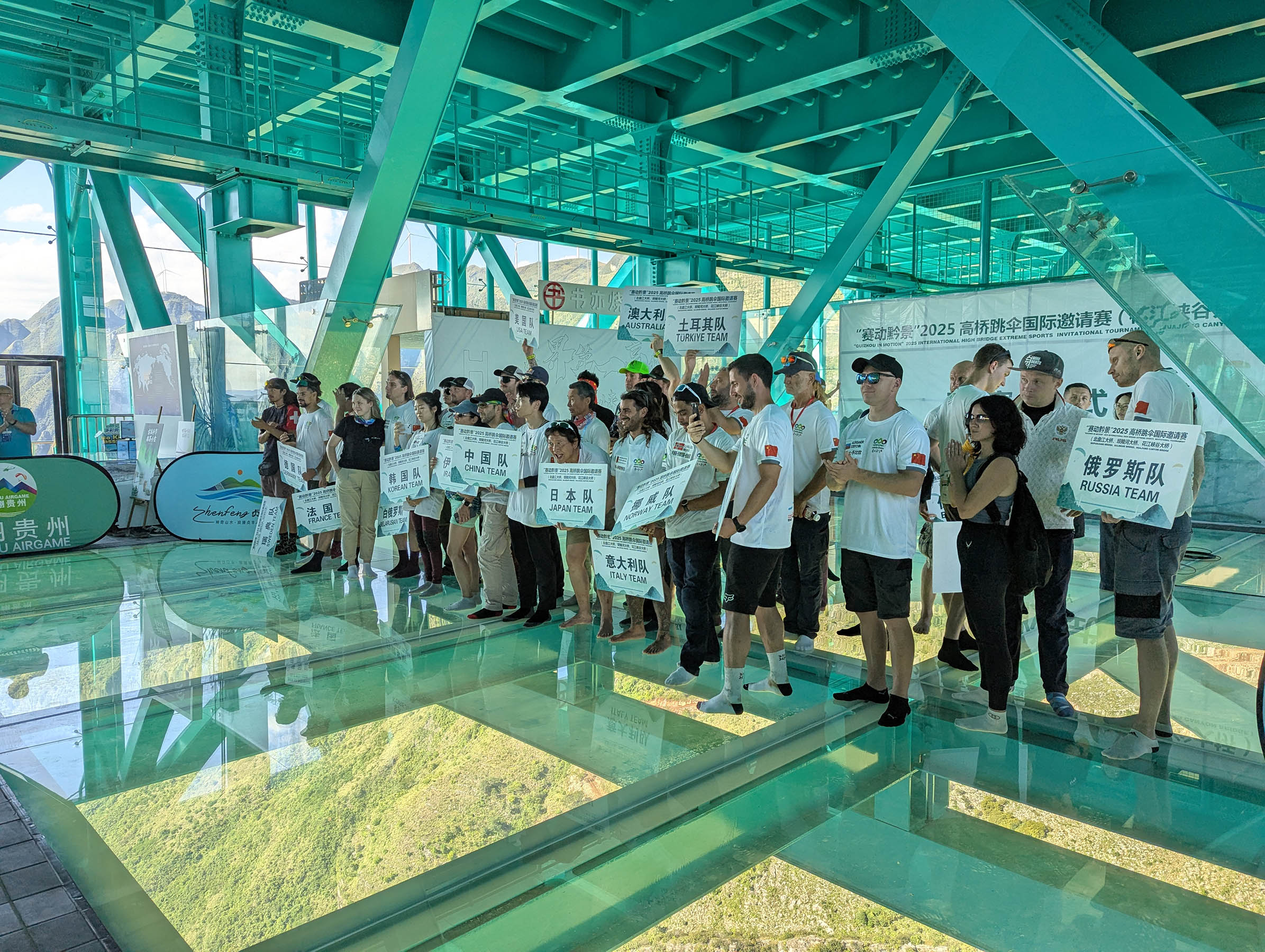
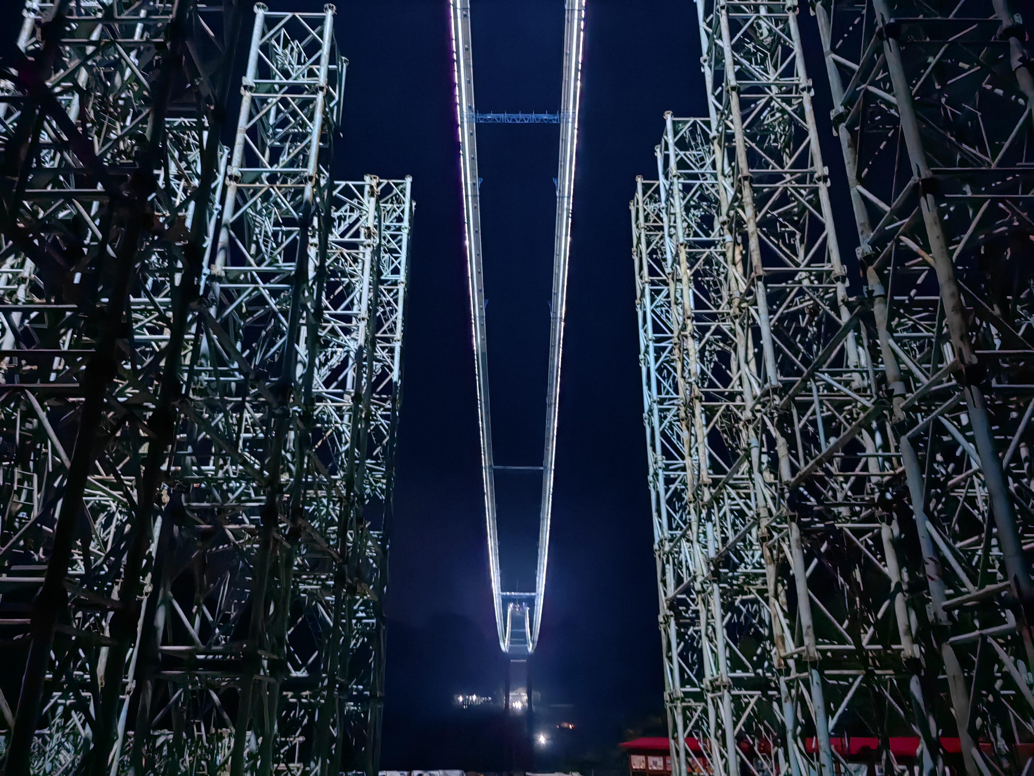
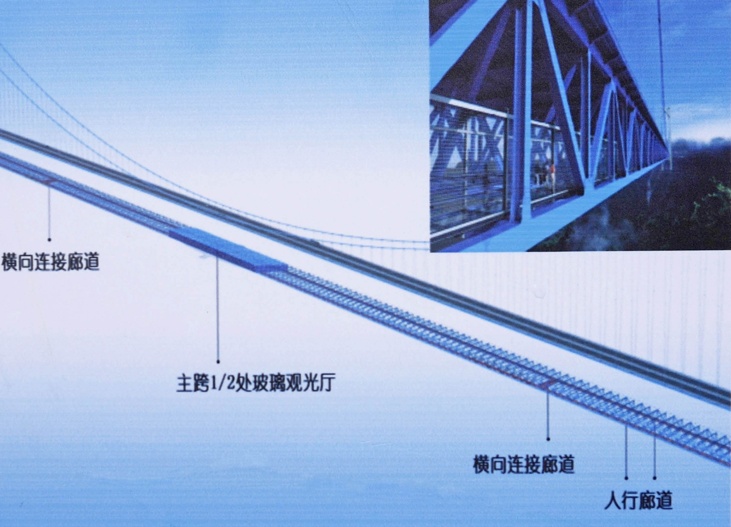
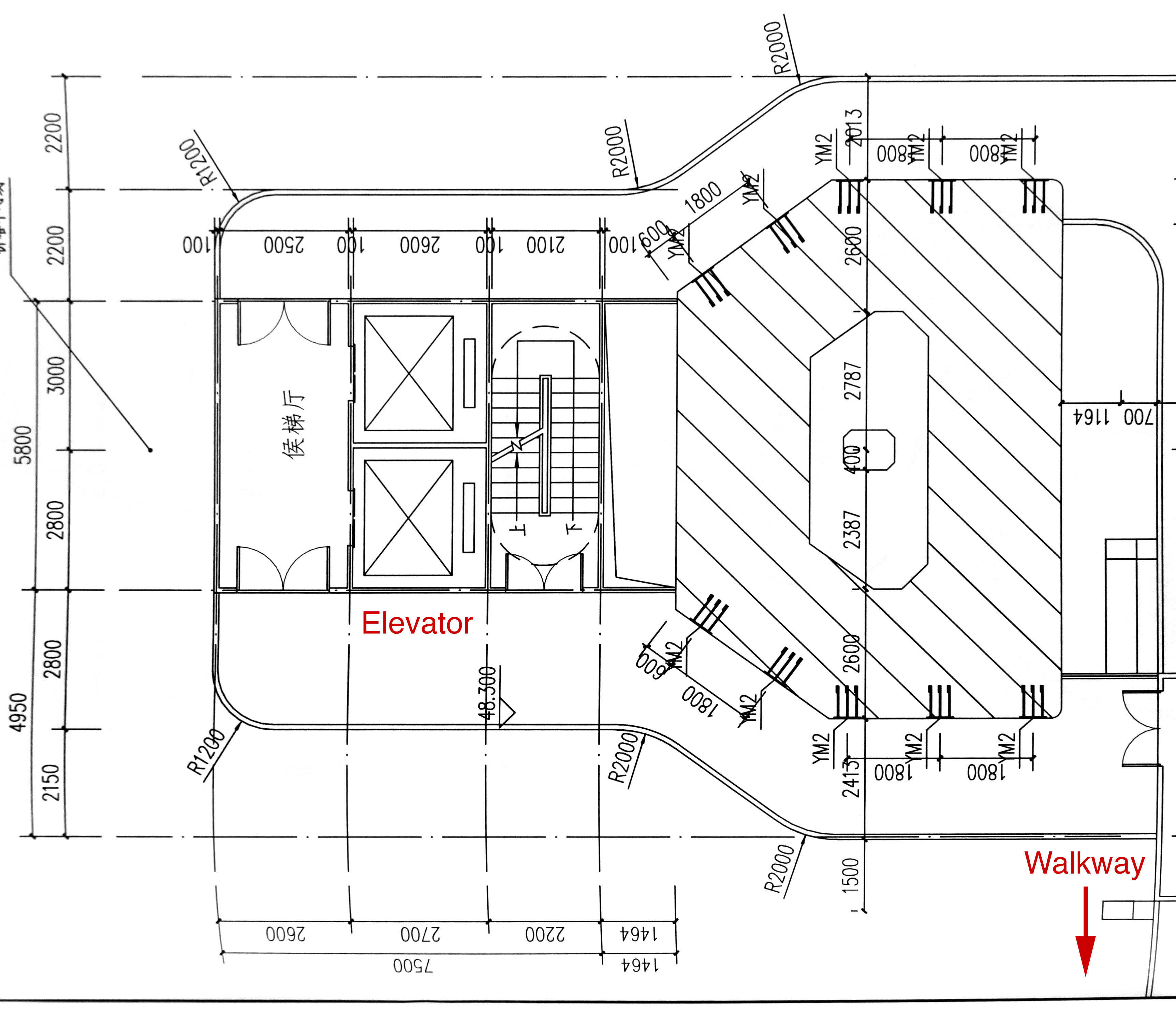
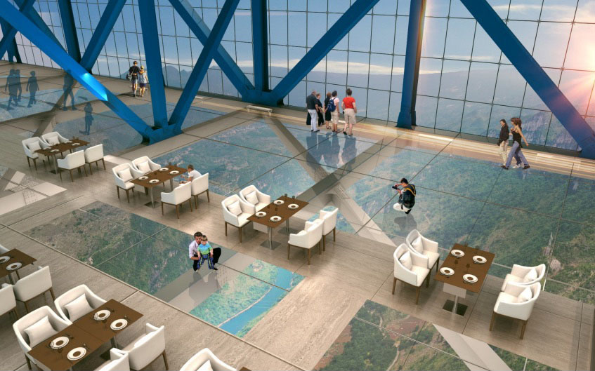
The second adventure will begin at a lower level just below the road deck where the elevator will drop guests off inside the truss where an 800 meter long walkway will lead through several tourist rooms with glass floors that will allow guests to seemingly “float” 224 and 404 meters above the ground.
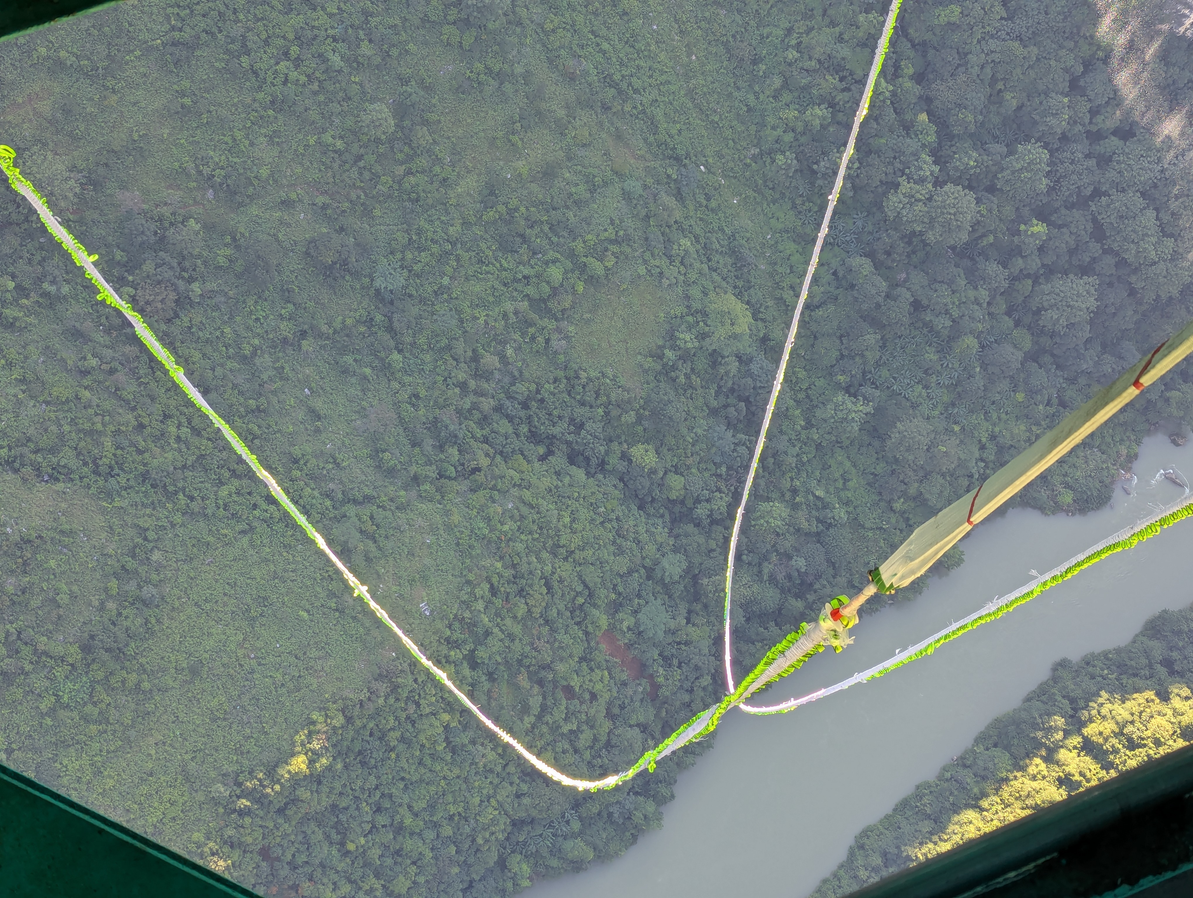
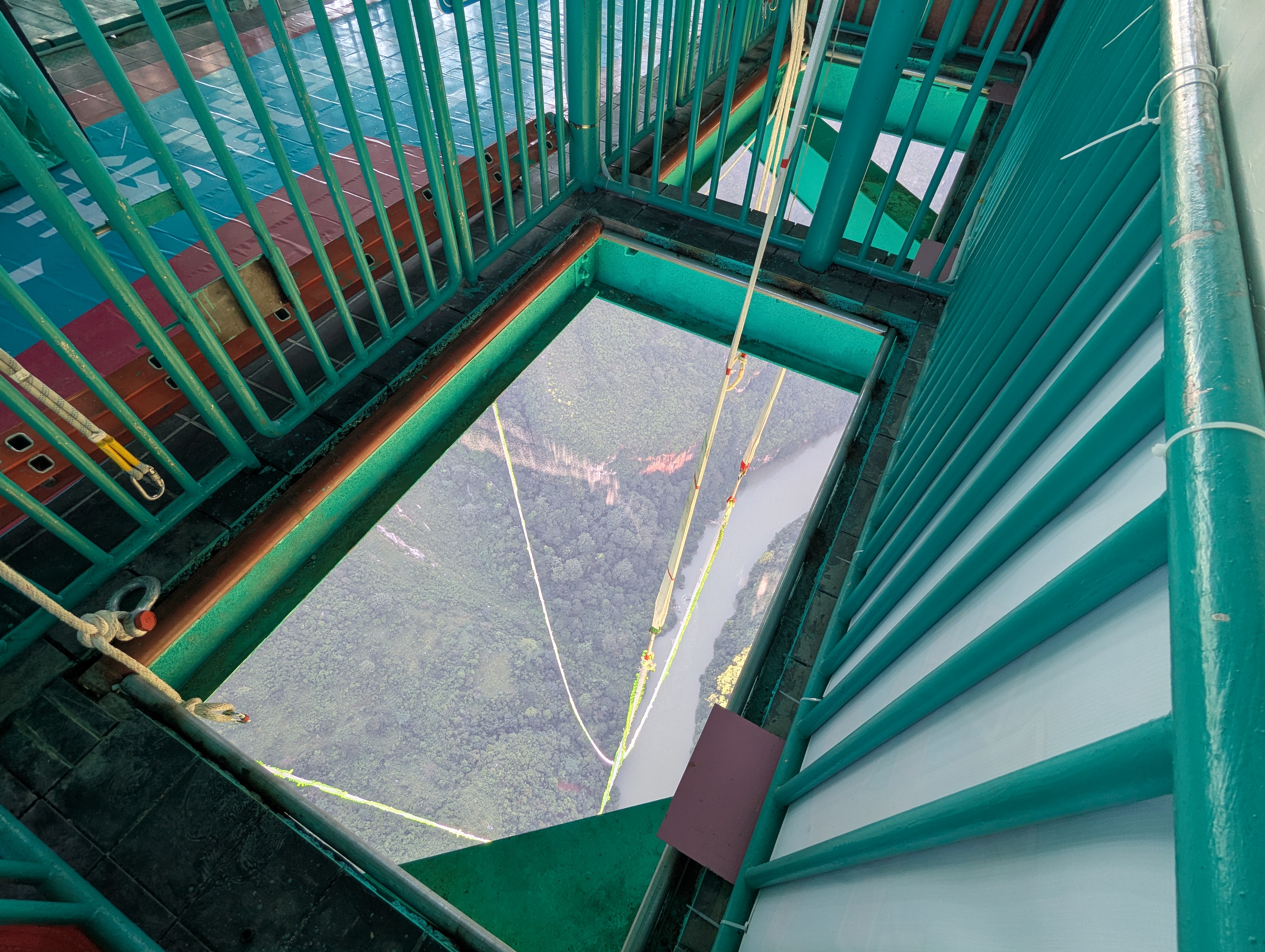
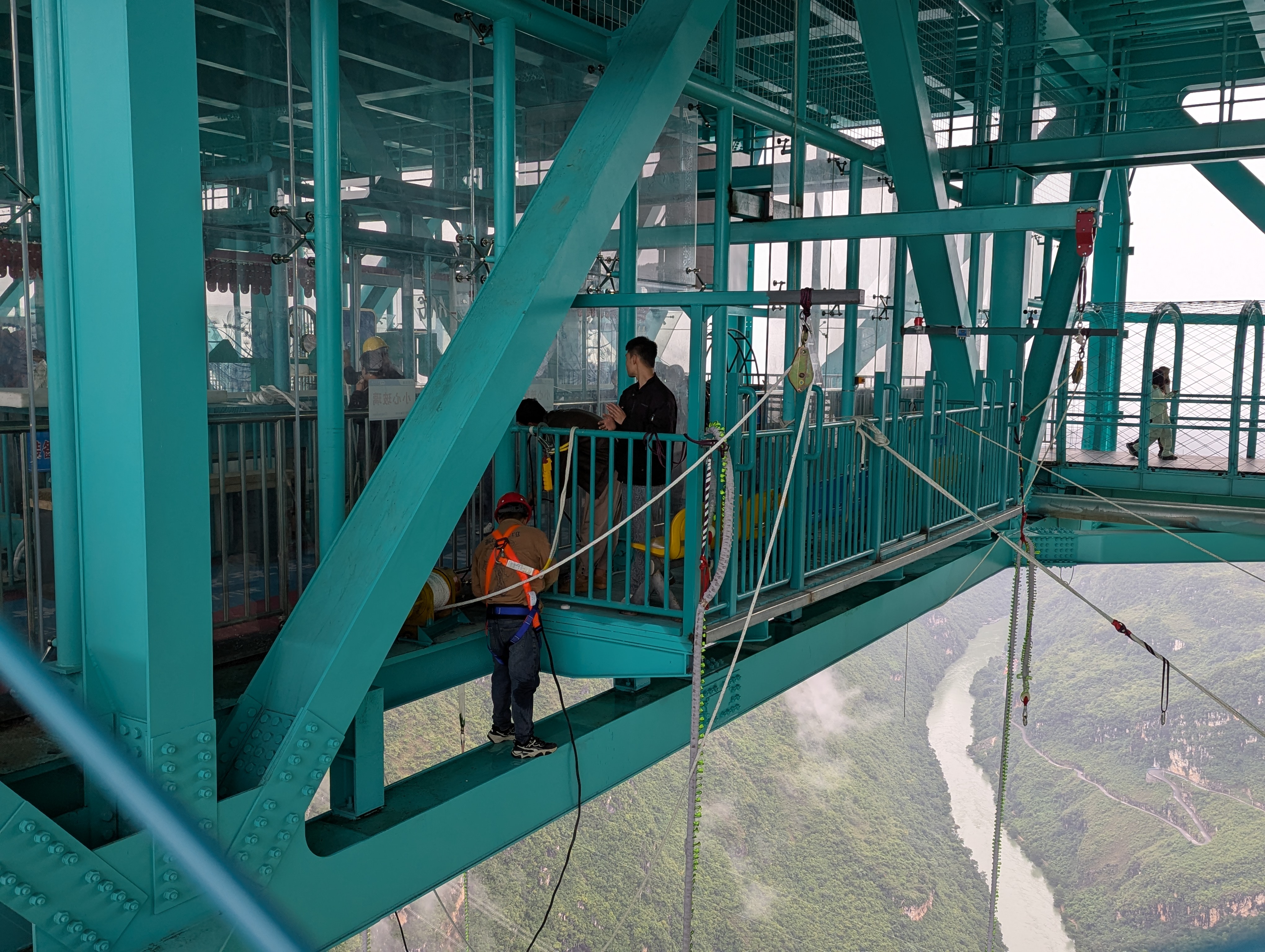
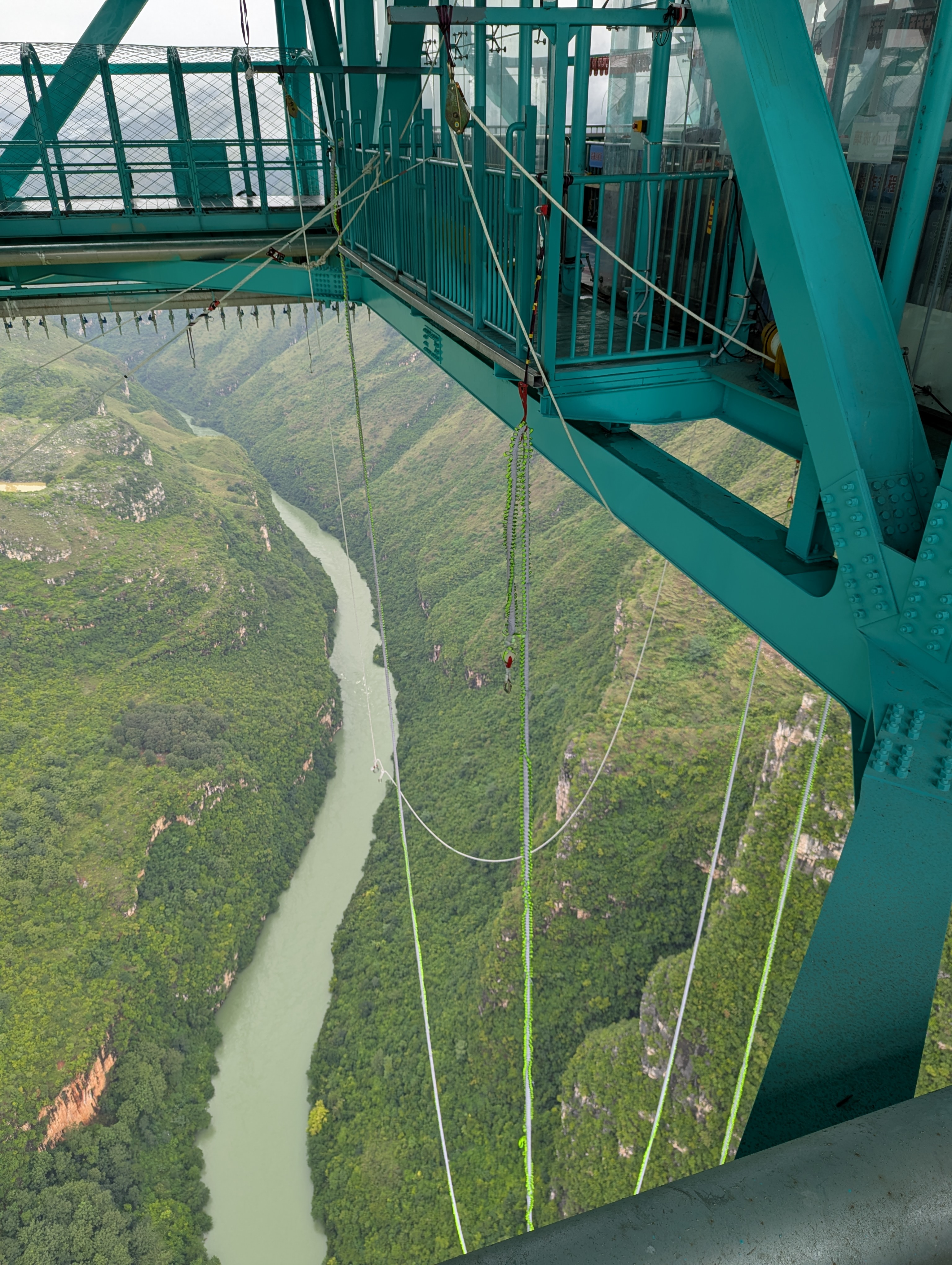
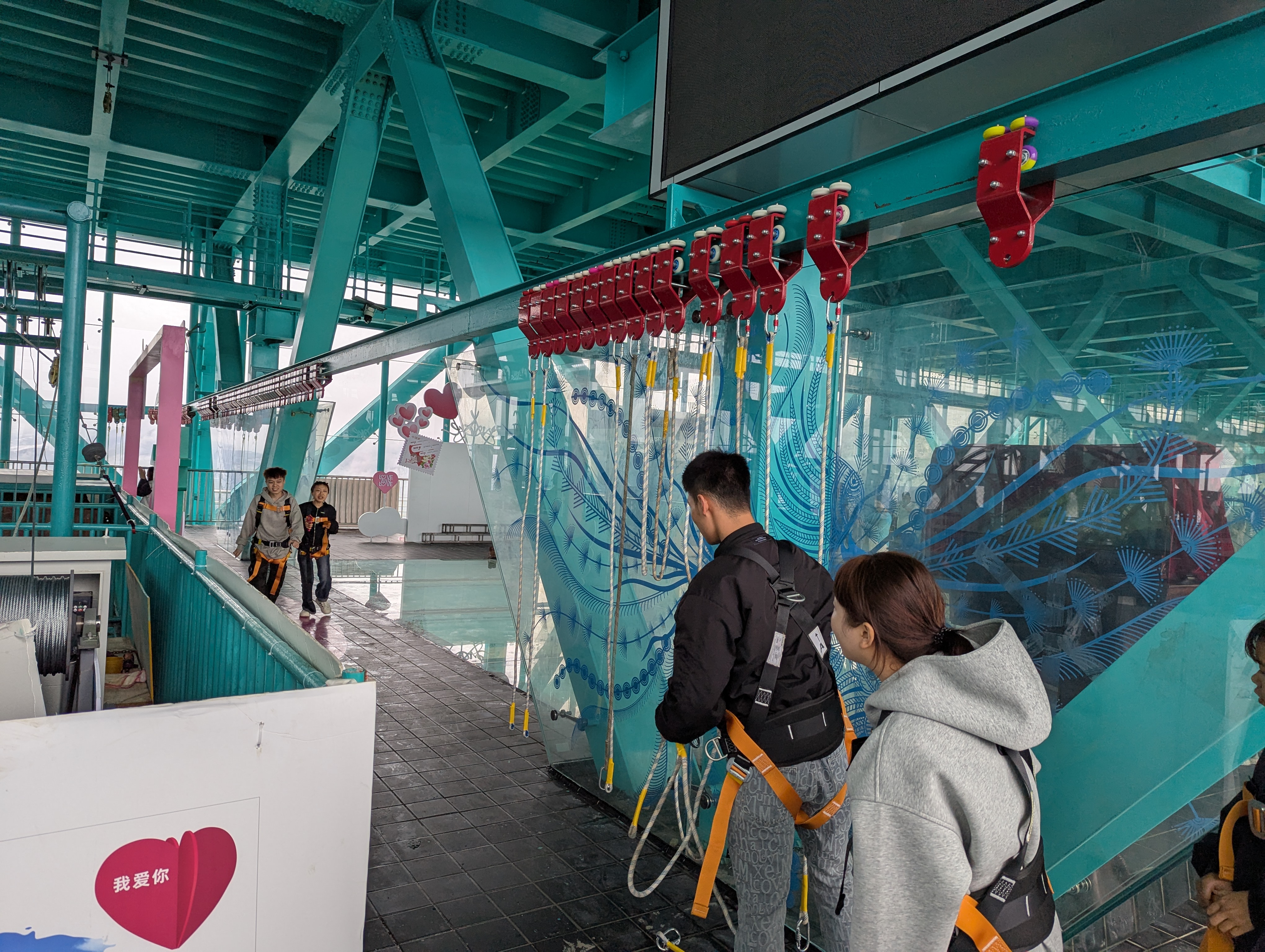
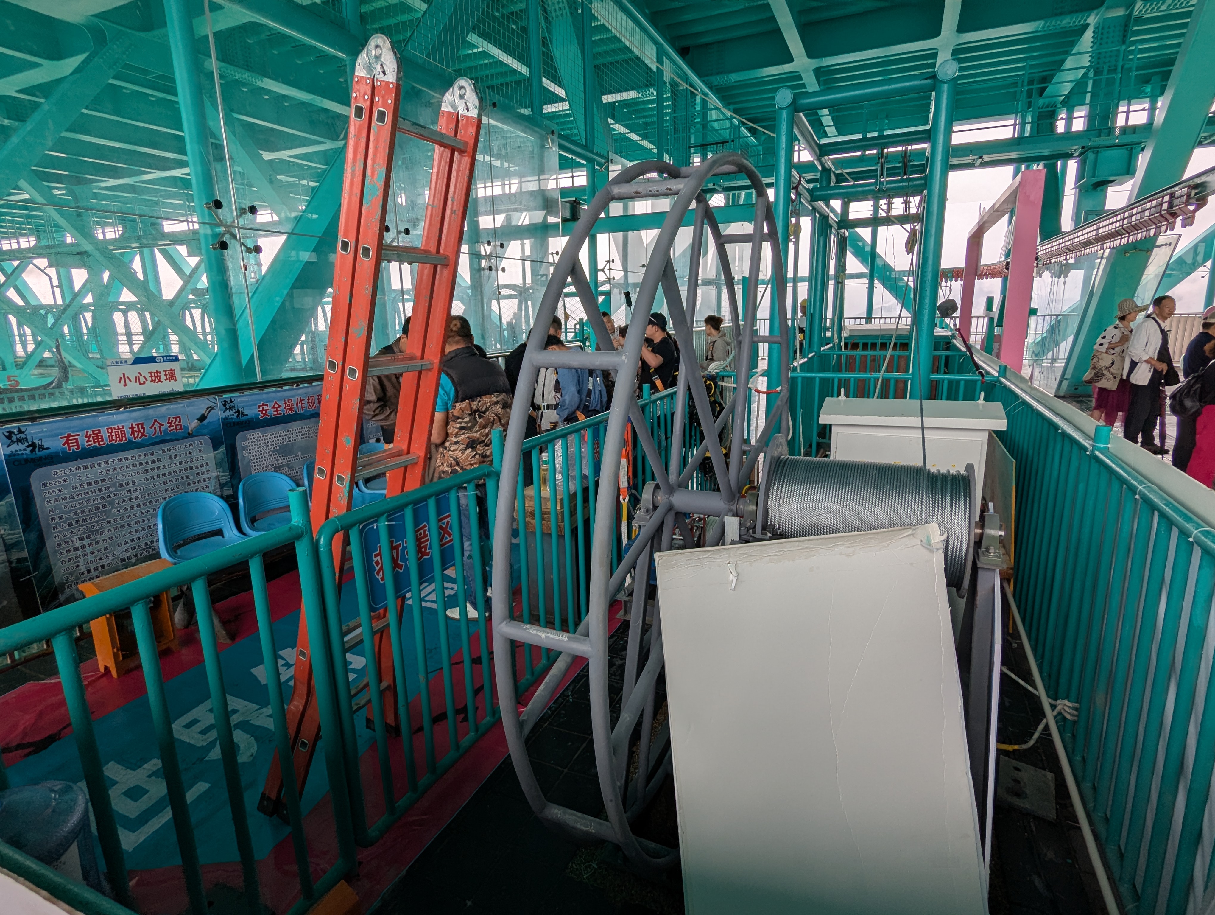
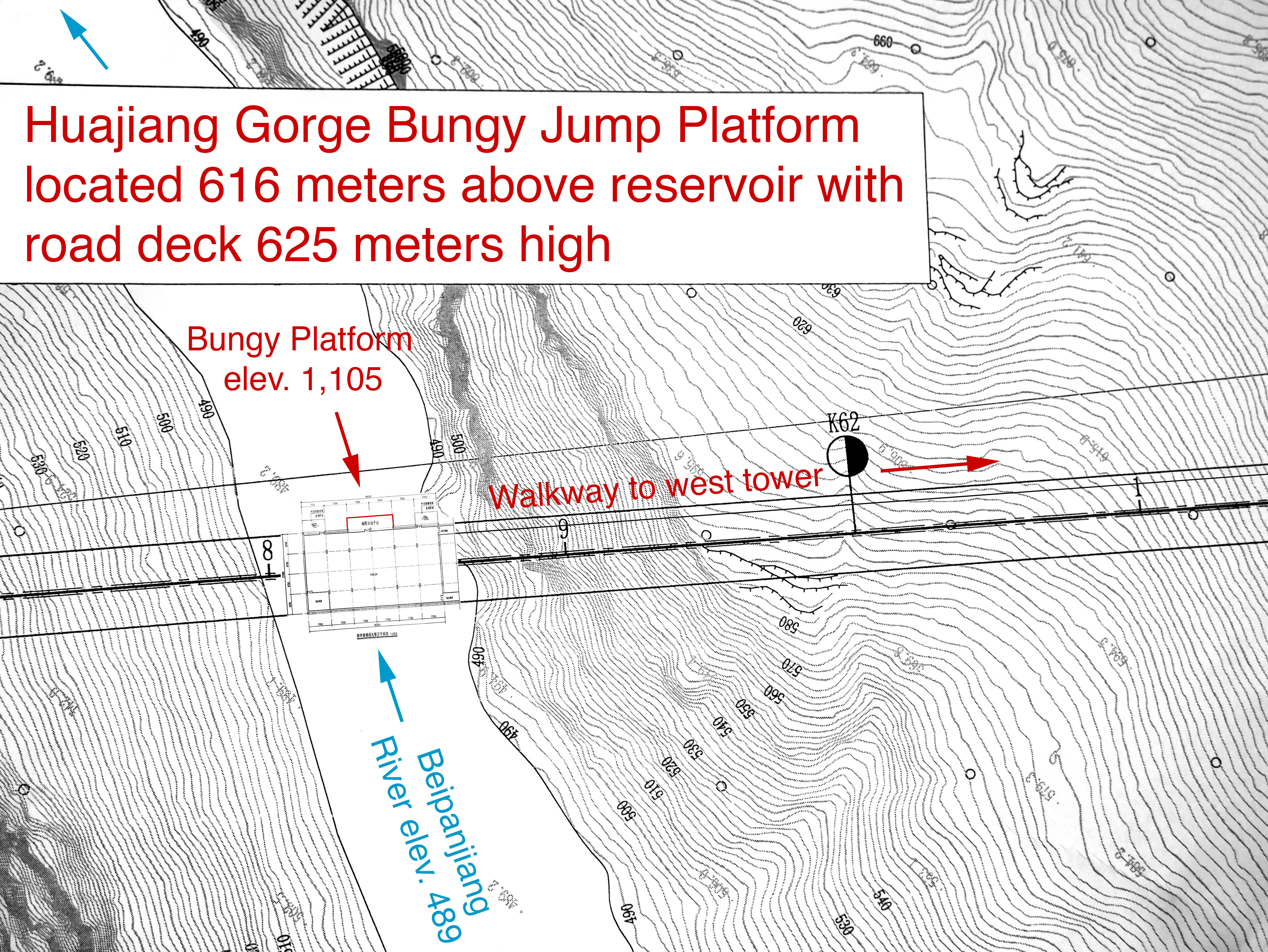
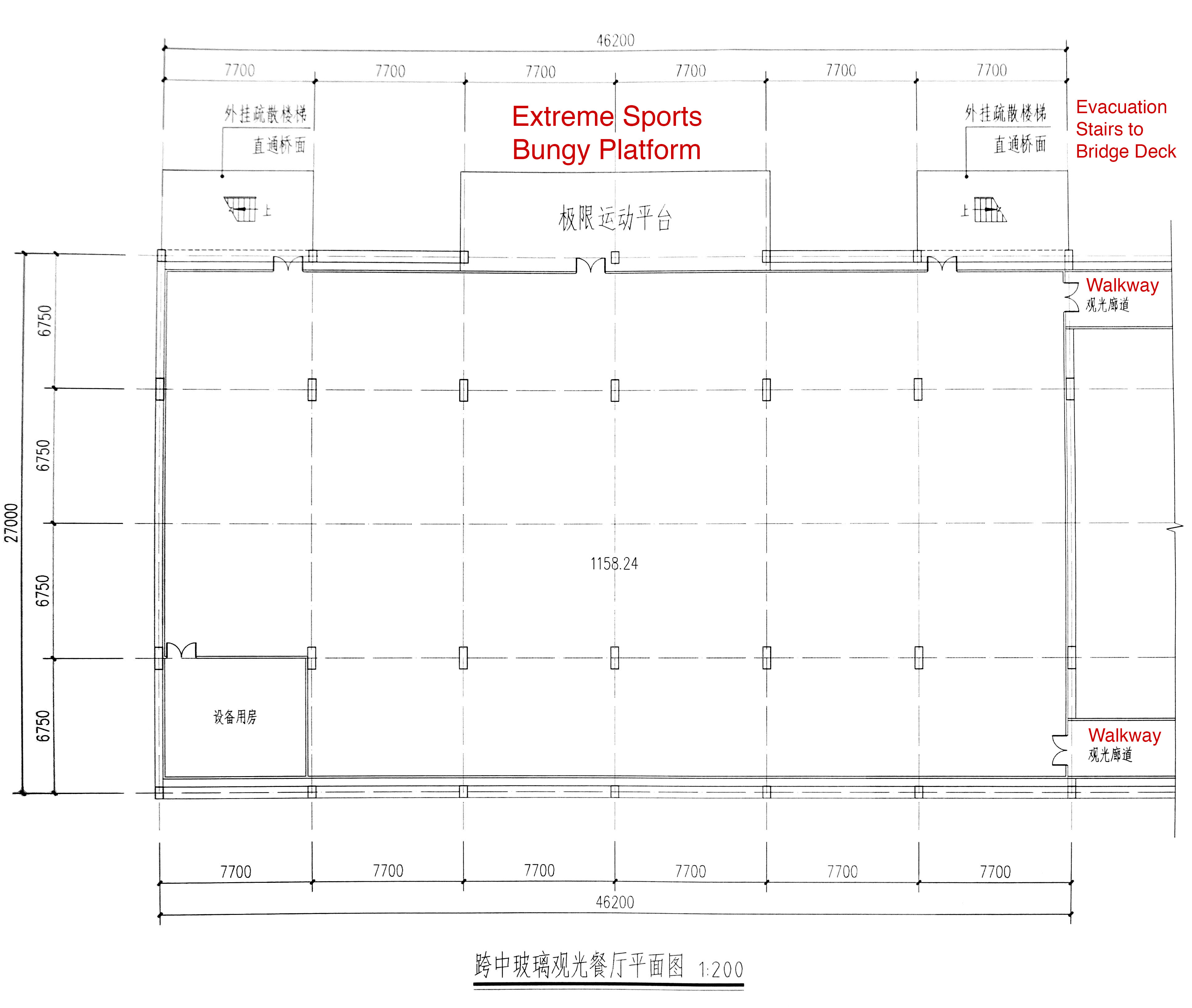
The third and final thrill awaits guests at the very last platform where the truss walkway reaches a maximum height of 2,020 feet above the Beipan River. Here the World’s Highest Bungy Jump will allow those who dare to leap into the void of the Huajiang Grand Canyon. For those who are not so fearless the last platform will have more glass panels to walk across as well as another café to eat and enjoy views of Guizhou’s deepest river canyon.
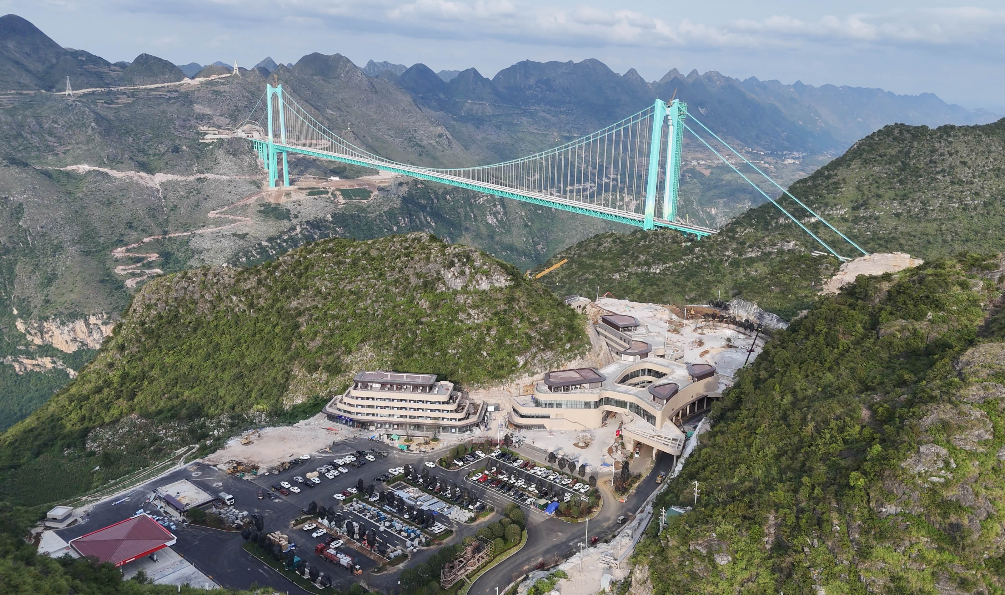
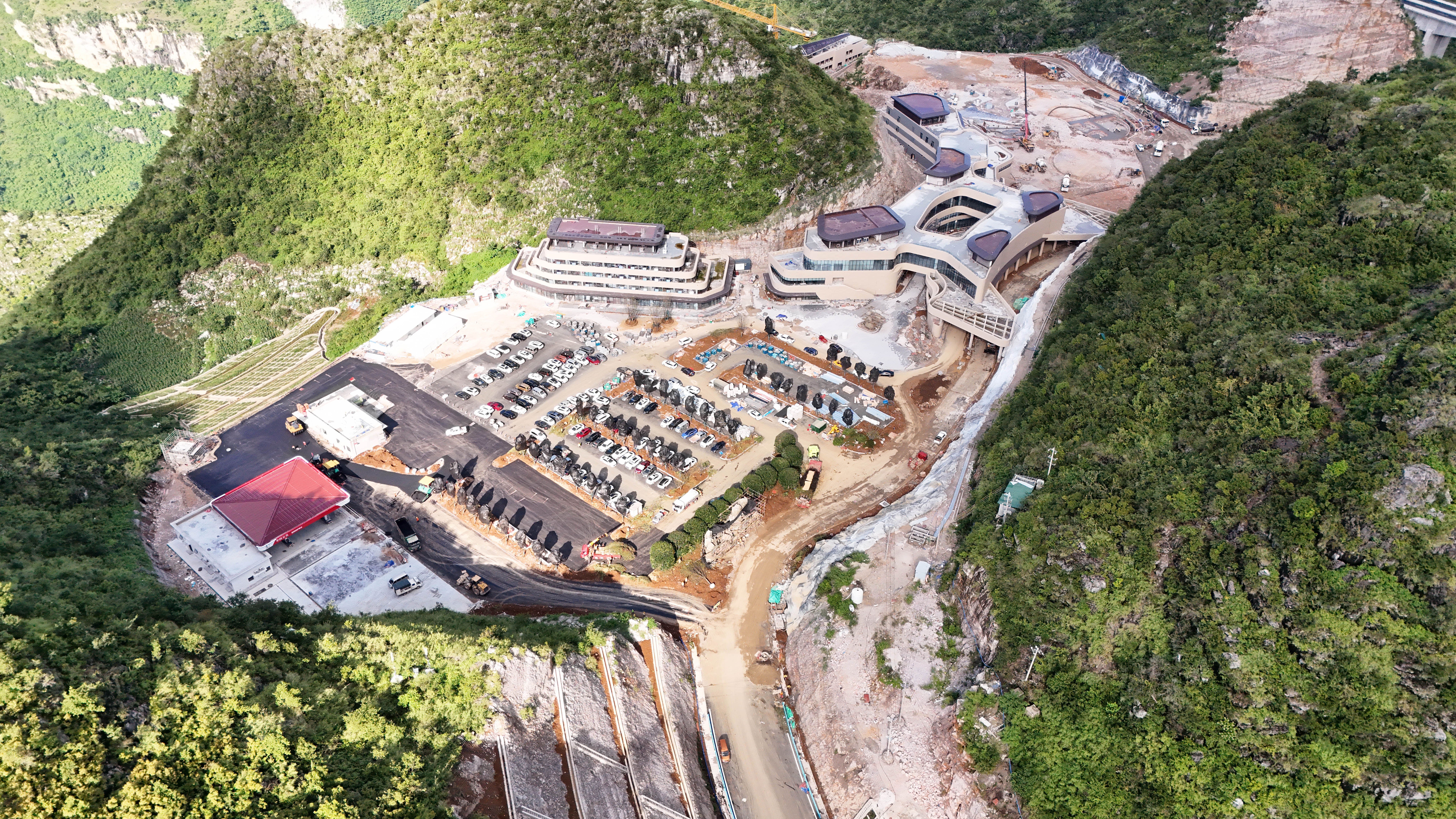
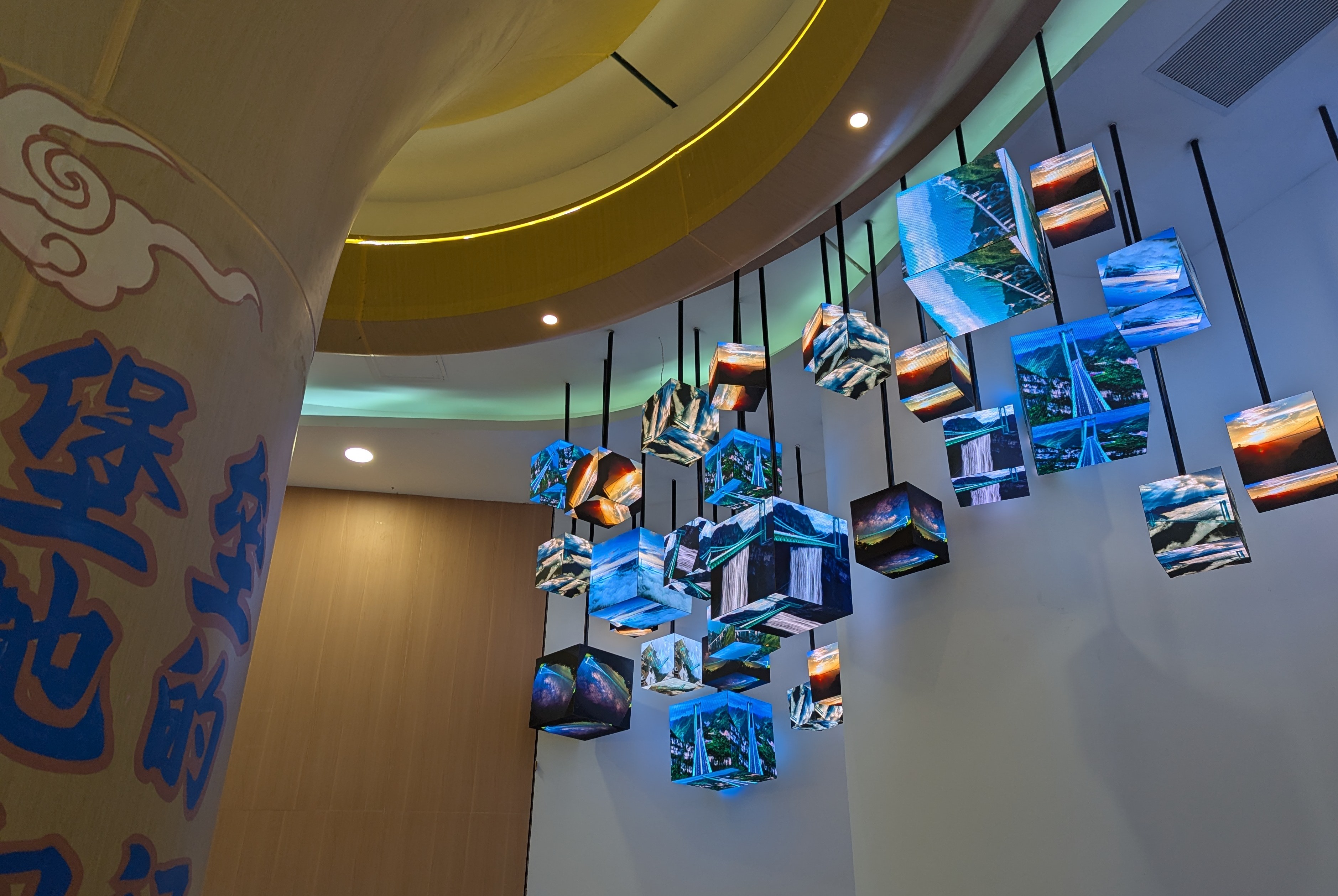
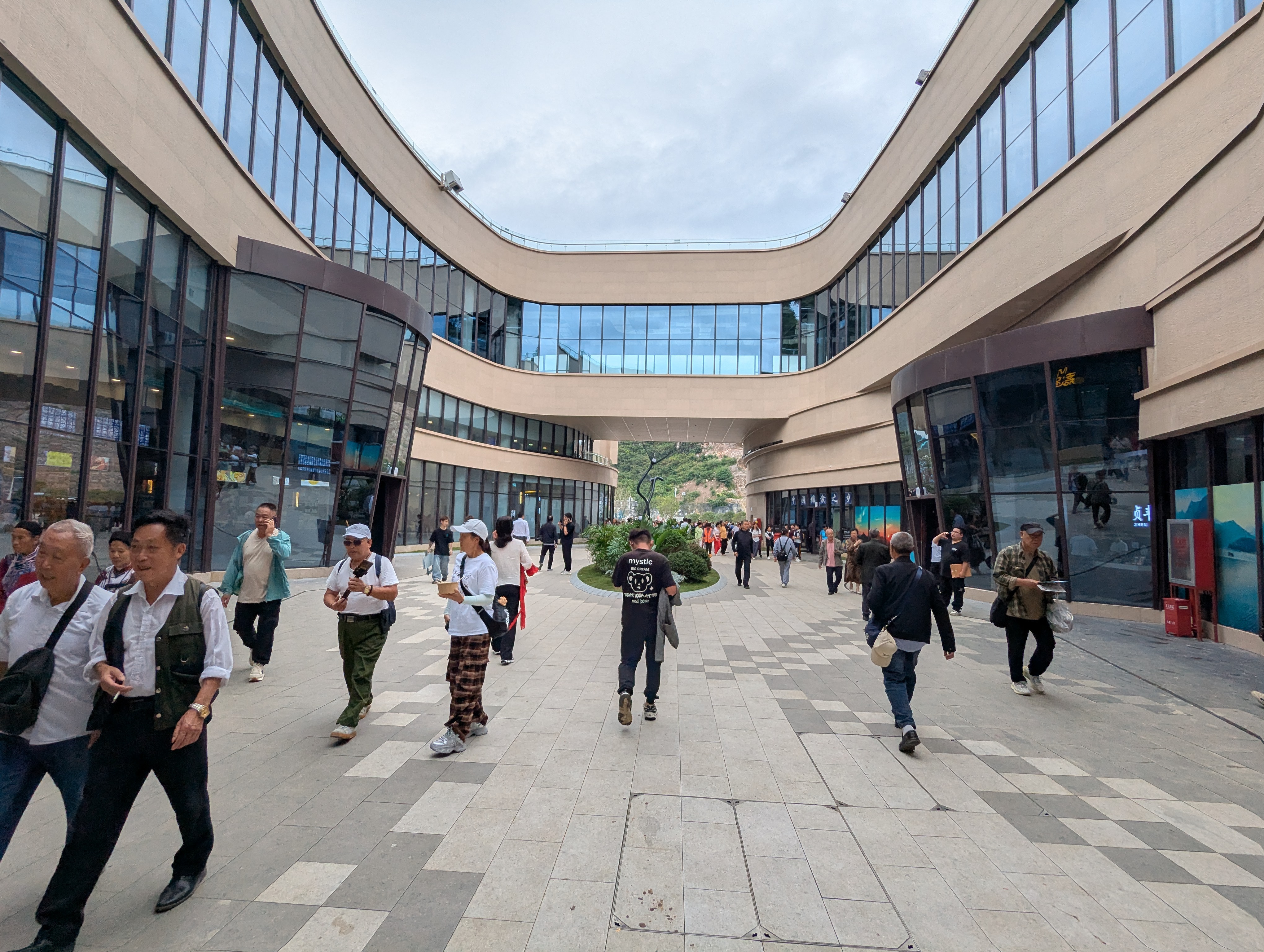
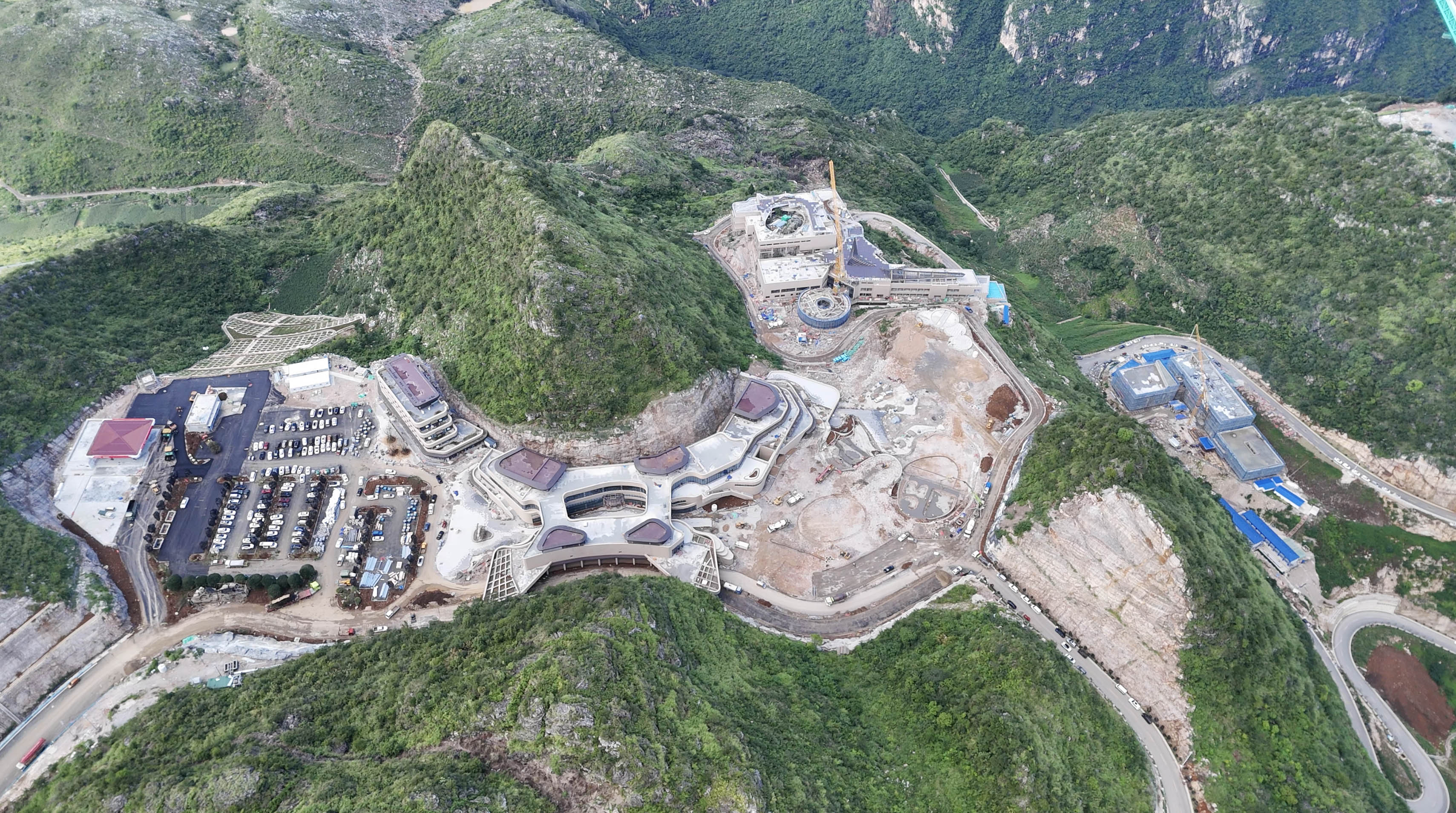
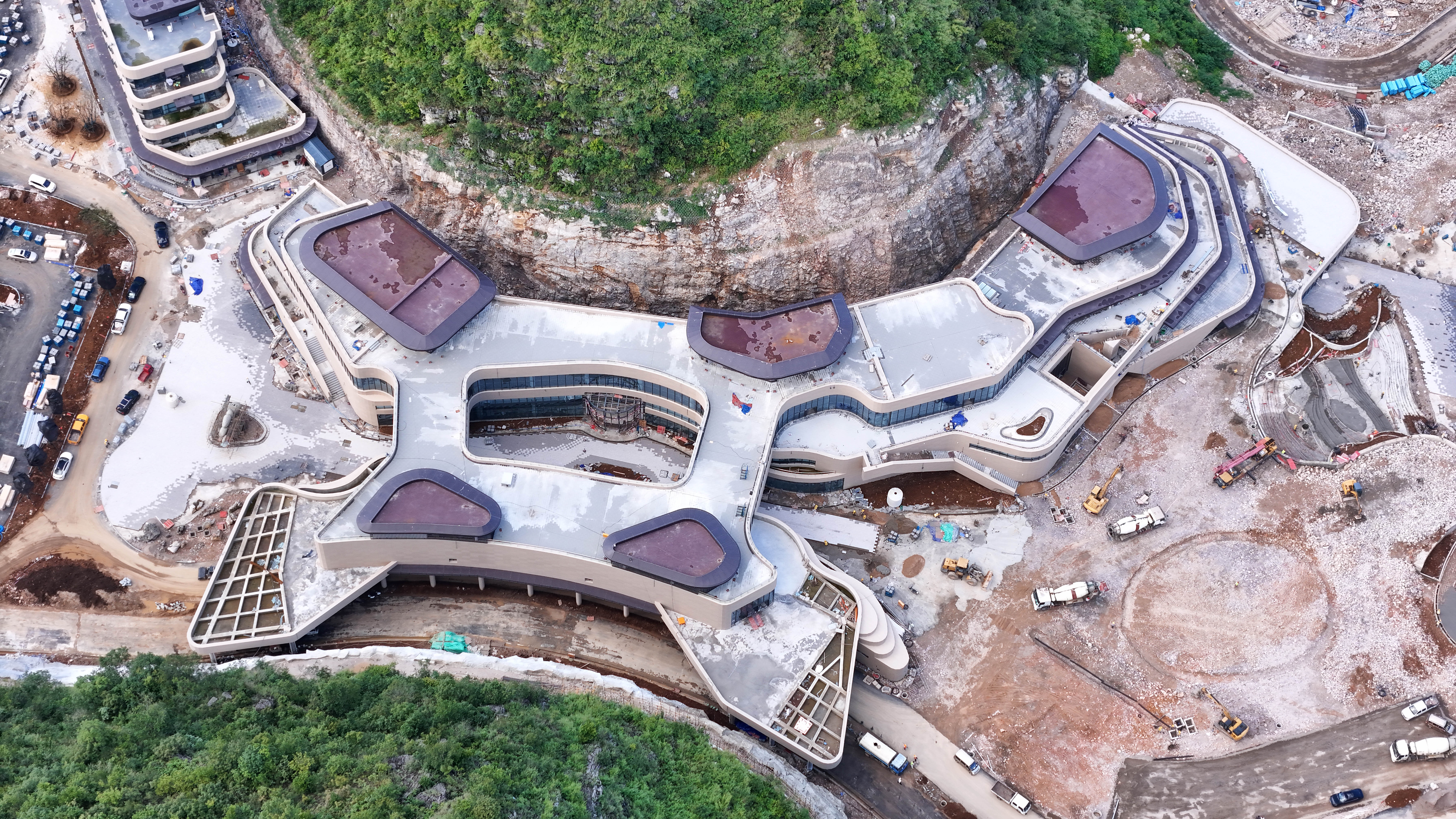
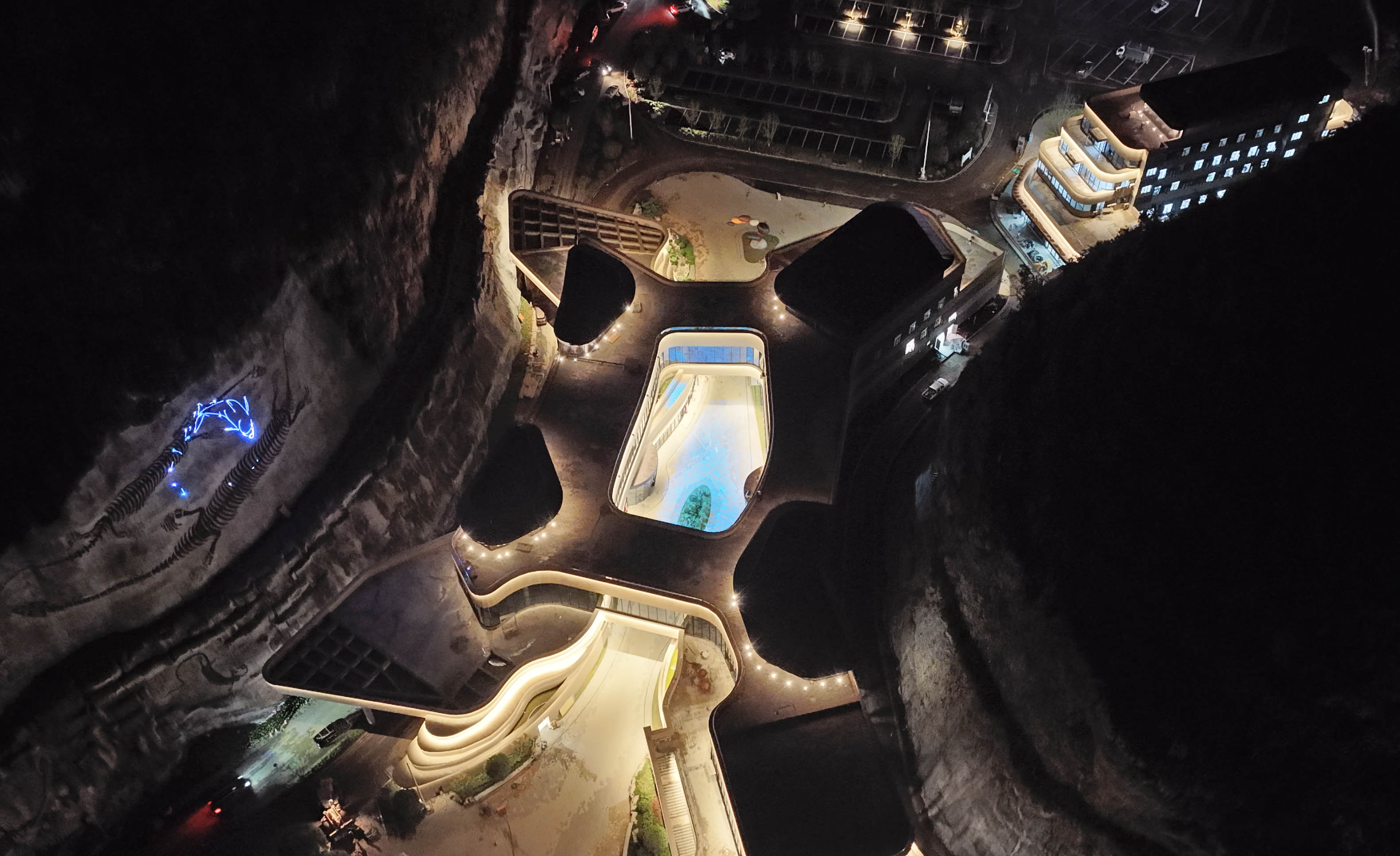
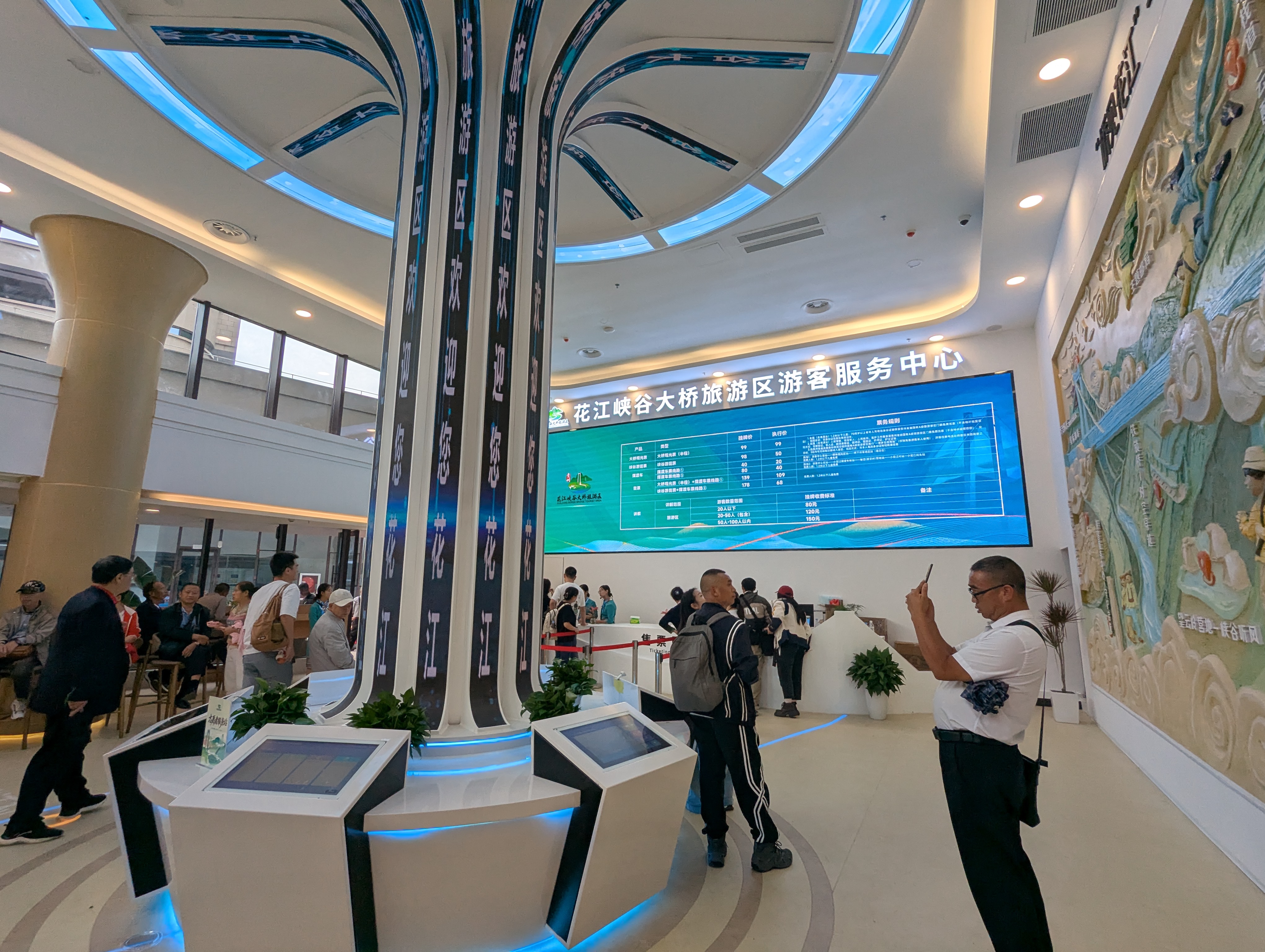
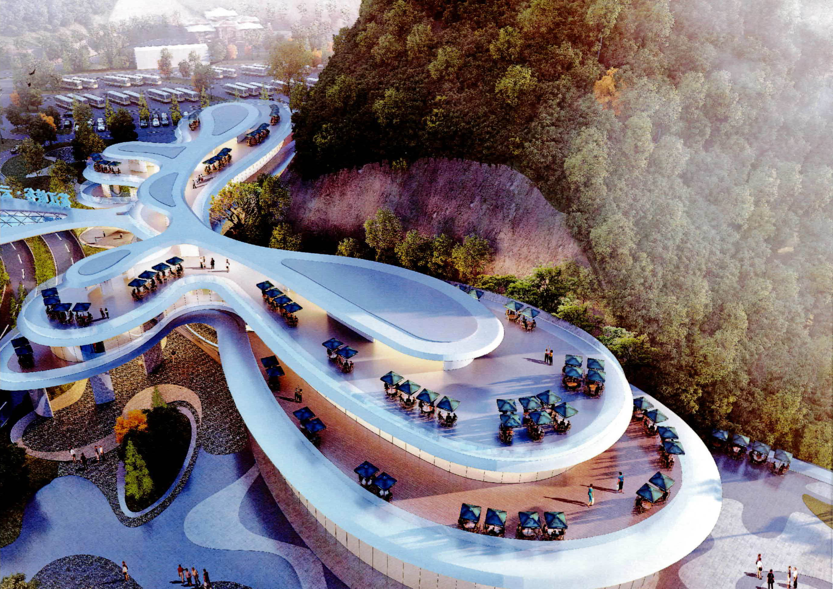
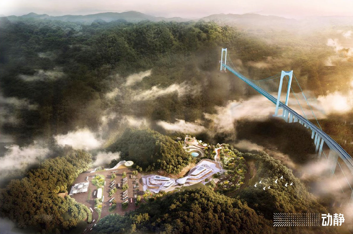
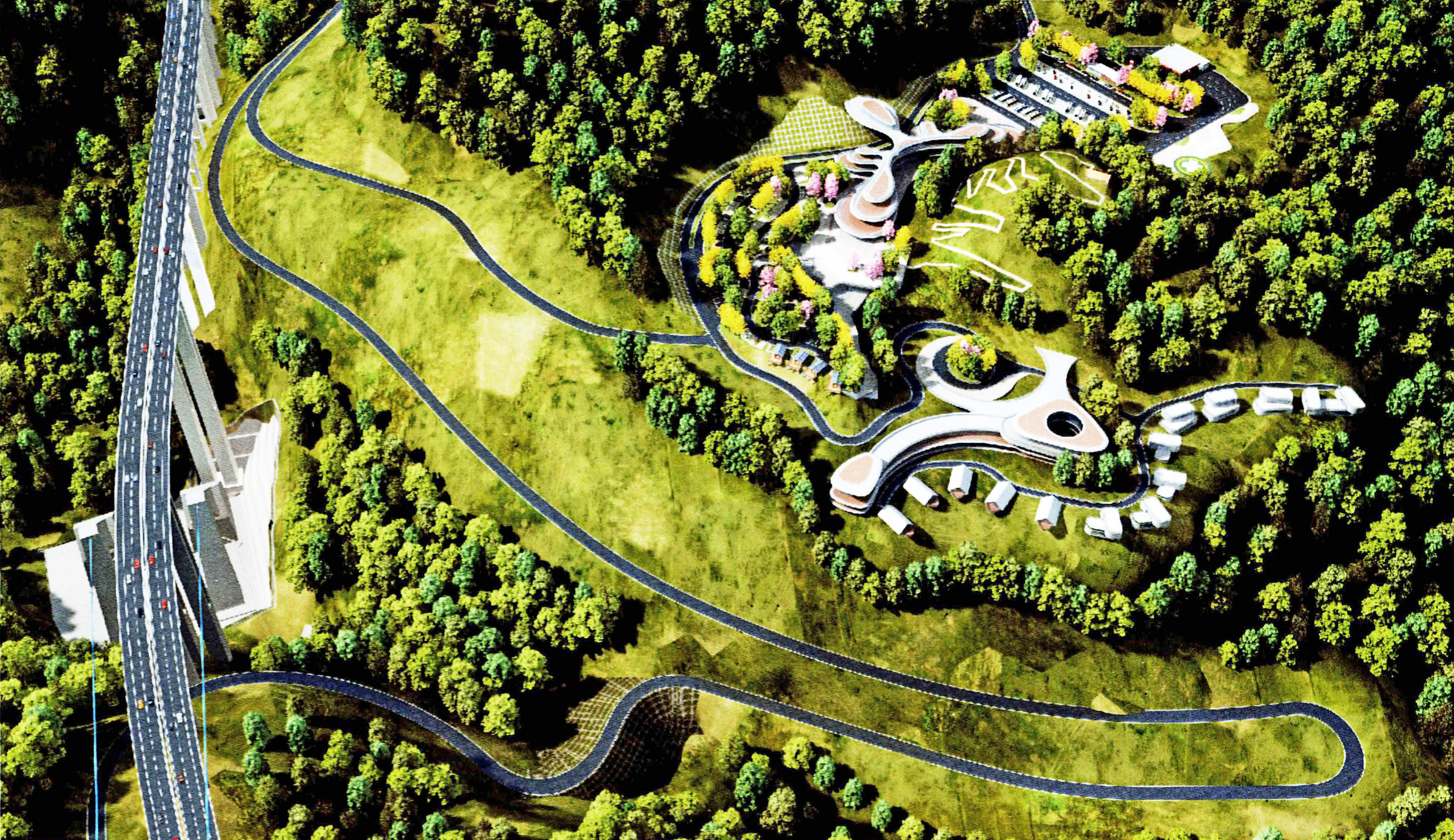
The Huajiang Canyon Bridge site will also have a huge Zaha Hadid-style tourist center building showing the development of the suspension bridge as well as the ancient history of the canyon and its regional people. For those who want to see more in the area, guests can stay in private bungalows that overlook the bridge, allowing time for a more leisurely road trip to the bottom of the canyon where an old chain bridge from 1898 offers some historical context to the past 125 years of Chinese bridge development.
The first hint of Guizhou’s high bridge aspirations came in 2001 when the Liuguanghe beam bridge opened as the World’s Highest Bridge on a 2-lane expressway between the capital city of Guiyang and the smaller county of Bijie in the Northwest corner of the Province. In the 25 years that followed, expressway construction has been in full gear with four and now six-lane expressways connecting cities both large and small regardless of how difficult the mountain terrain may be. An old saying states that in Guizhou there are no three days without rain, no three acres without a mountain and no three coins in any pocket. They may have to amend that and add that there are no three kilometers of expressway without a high bridge!
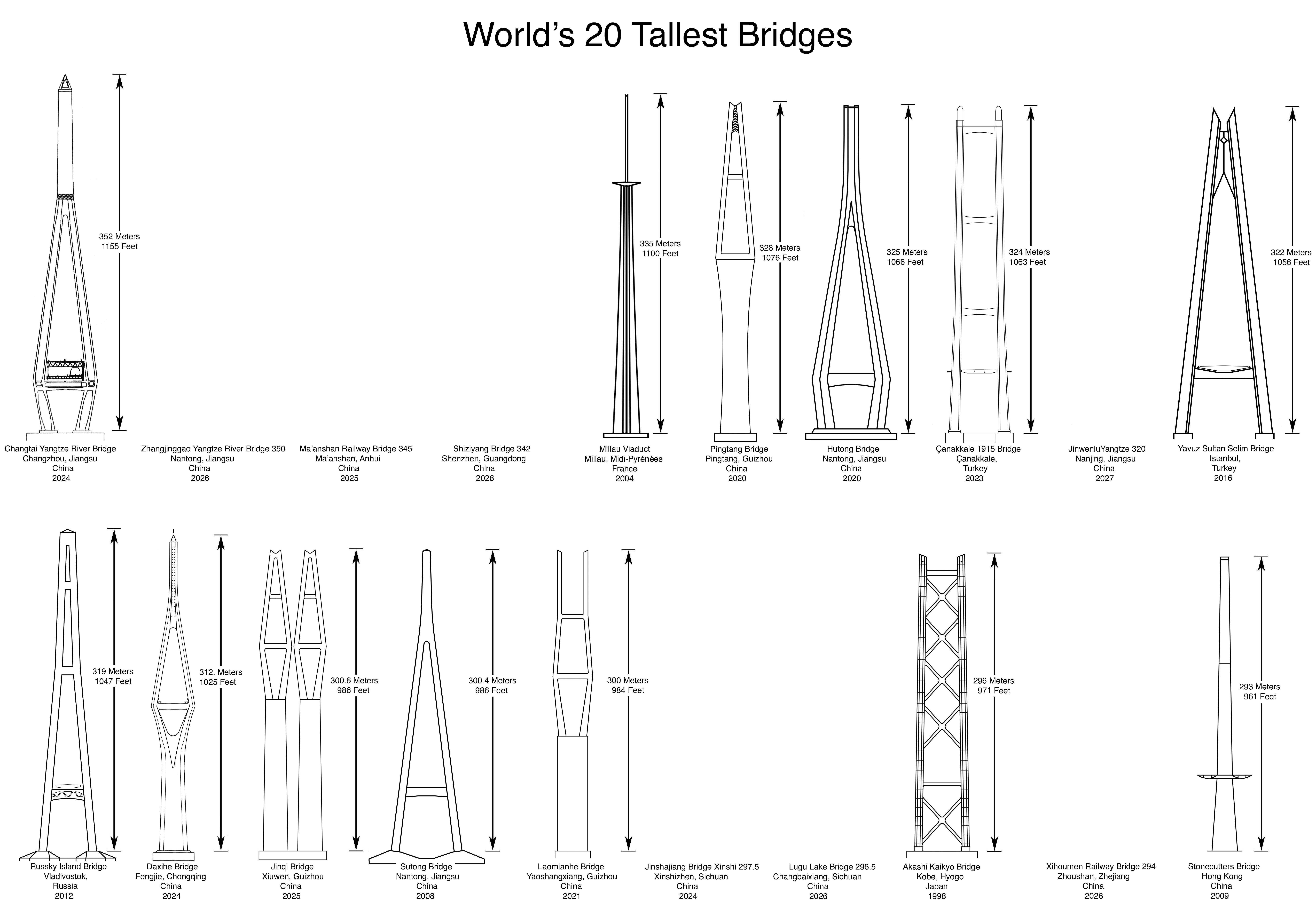
Today the Province of Guizhou is home to more high bridges then every other country on earth combined. By 2030 Guizhou will have more then 1,000 bridges over 100 meters high as measured from the road or rail deck to the water. Compare that with Italy which has the world’s second greatest number of high bridges with only 60 spans exceeding 100 meters in height. Of the world’s 50 super-high spans that exceed 300 meters from deck to water, all are in China except for 3.
Image by Glabb.
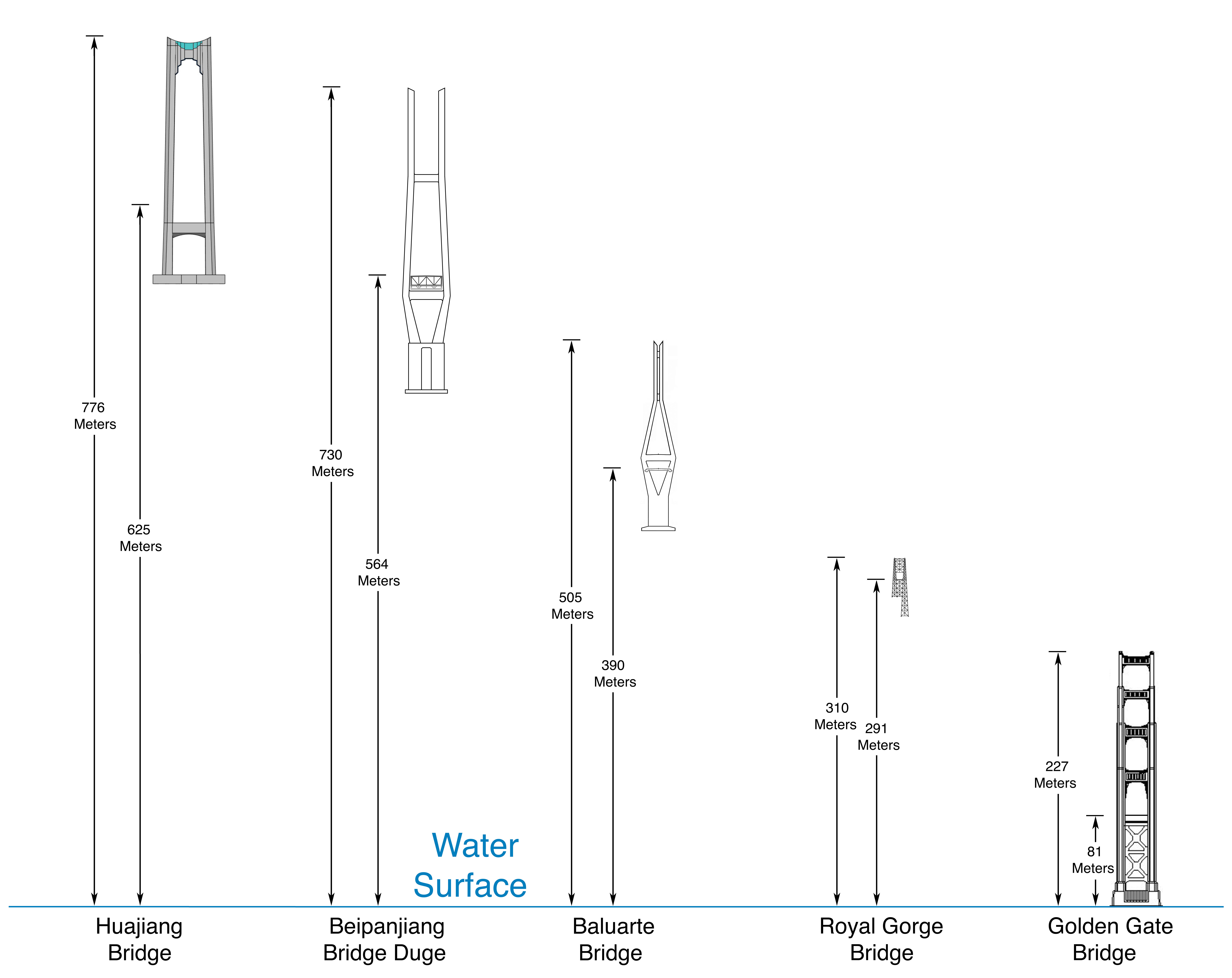
Huajiang Grand Canyon Bridge and Royal Gorge Bridge size comparisons.
Image by Eric Sakowski / HighestBridges.com
Image by Eric Sakowski / HighestBridges.com
Image by Eric Sakowski / HighestBridges.com
Image by Eric Sakowski / HighestBridges.com
Image by Eric Sakowski / HighestBridges.com
Image by Eric Sakowski / HighestBridges.com
Image by Eric Sakowski / HighestBridges.com
Image by Eric Sakowski / HighestBridges.com
Image by Eric Sakowski / HighestBridges.com
Image by Eric Sakowski / HighestBridges.com
Image by Eric Sakowski / HighestBridges.com
Image by Eric Sakowski / HighestBridges.com
Image by Eric Sakowski / HighestBridges.com
Image by Eric Sakowski / HighestBridges.com
List of Guizhou Bridges over 100 meters high. Image by Eric Sakowski / HighestBridges.com
Image by Eric Sakowski / HighestBridges.com
Image by Eric Sakowski / HighestBridges.com
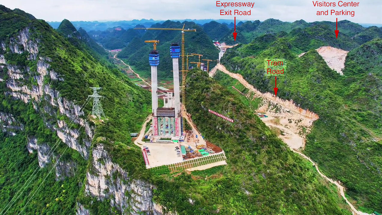
West Huajiang area development with a visitors center, tram road and elevator to several glass rooms and the tower top observation platform.
Early Huajiang visitors center with a Zaha Hadid style of architecture.
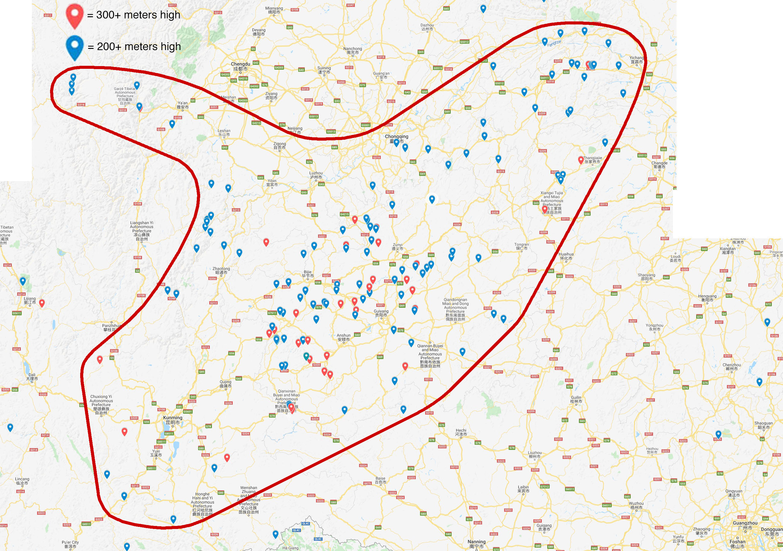
A map showing the location of nearly 200 of China's Super High Level Bridges that have road or rail decks that exceed 200 and 300 meters in height. This region is roughly bounded by Kunming City in the South, Yichang City in the East and Chengdu City in the West. This region is home to 90 of the world's 100 highest bridges.
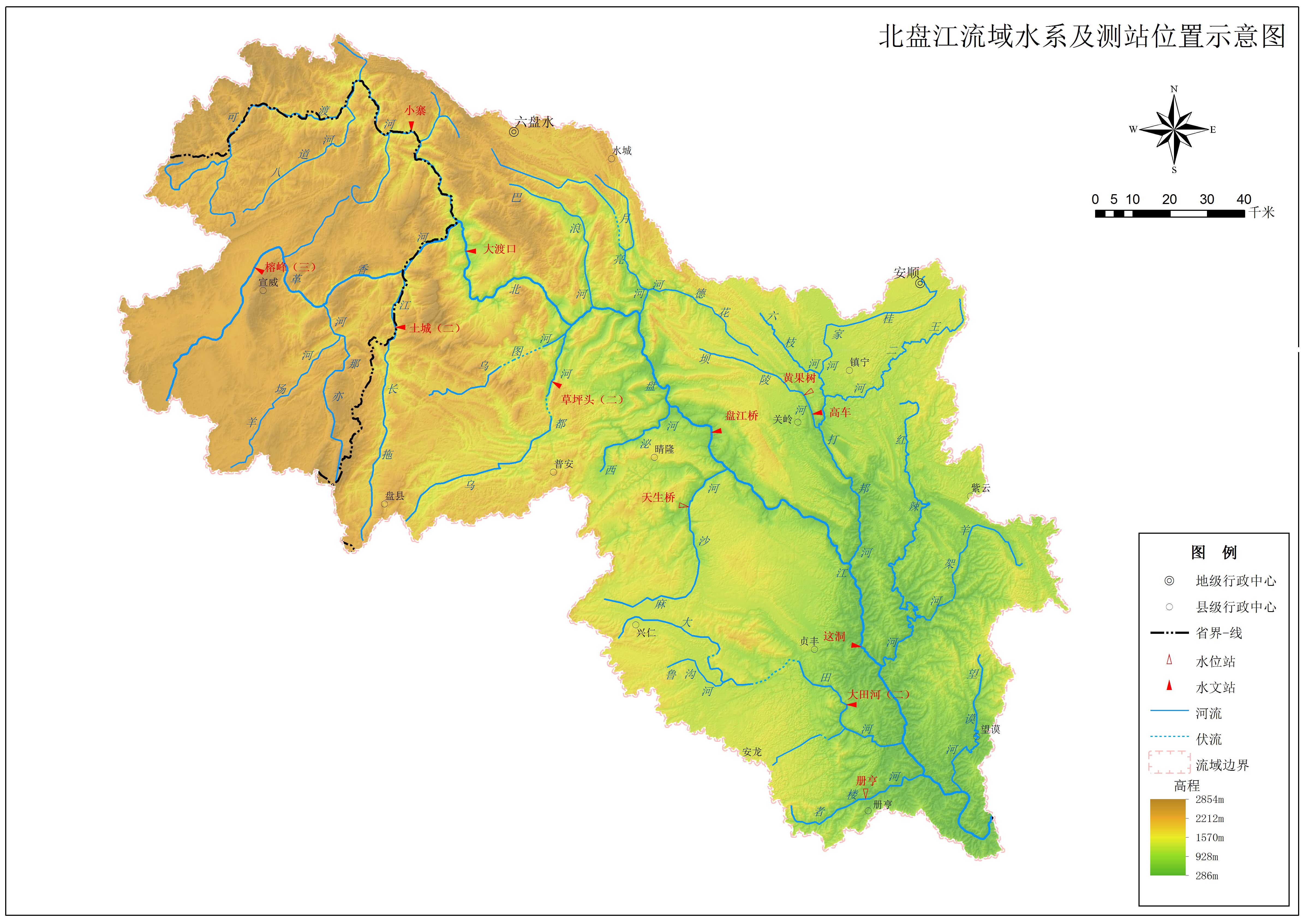
The drainage basin of the Beipanjiang River that flows below the Huajiang Bridge.
The explosion of road and bridge construction in China first began in 1989 when China launched the National Trunk Highway System, a network of 5 north-south and 7 east-west expressways with a total length of 22,000 miles (35,000 km). Divided into three stages of development, the second stage, from 1998 to 2005, was completed a decade ahead of schedule, allowing the entire infrastructure to be completed by 2009. The goal was to link more than 90 percent of all cities with a population of over half a million and 100 percent of all cities with a population of more than a million. During this time period of 20 years, the total number of highway bridges in China doubled.
In addition to the National Trunk Highway System there is a secondary National Expressway Network composed of several independent routes collectively known as “7918”. The number 7 is for several radiating routes around the city of Beijing while the other numbers refer to 9 North-South routes and 18 East-West routes. Many of these smaller highways connect cities with populations of just 200,000 people. With much of this system still un-built, these will be the highways to look forward to for high bridges until their completion in 2040. All of these expressways have tolls. If you want to learn more about China’s rapidly growing road network, go to the Expressways of China page on Wikipedia at http://en.wikipedia.org/wiki/Expressways_of_China.
Since there are many Chinese bridges throughout this web site, a few tips about word translation are in order. Often you will see the addition of the word “Jiang” or “He” at the end of a Chinese bridge name. Jiang means large river and is only used for the biggest and mightiest in China - the equivalent of the Columbia, Ohio or Mississippi rivers in the U.S. or the Rhine river in Europe. The word “He” is used for all other rivers.
Multiple names are often given to the same highway based on the two cities the highway is passing between. So a section of highway between Yichang and Huangshi is called the Yihuang expressway, taking the first half of each city name and combining them. With a single highway having multiple names, there was often confusion - especially to those traveling long distances. So in 2010, the Ministry of Transport renamed 50,000 kilometers of expressways with uniform numbering and naming including origin and destination signs as well as new exit numbers based on kilometers traveled rather than the previous system that was based on a sequential number of exits passed on the route. Improved graphics as well as numerical digits for each expressway were also be implemented. Informal local names of the past were replaced by more formal names that cover larger sections of expressways making travel easier for everyone.
都格北盘江大桥约比墨西哥巴鲁阿特大桥高175米,巴鲁阿特大桥是此前世界最高的斜拉桥。
中国的公路和桥梁的爆炸性建设开始于1989年,那一年中国推出了国道主干线系统,包括5条南北向和7条东西向高速公路网,全长22000英里(35000公里)。分为三阶段,其中第二阶段从1998年到2005年提前实施,2009年完全建成。目标是连接90%以上多于人口50万的城市以及100%人口多于100万城市。这段时间内中国高桥的数量翻了一番。
除国道主干线系统外新提出的国家高速公路编号为“7918”,包括从北京辐射全国的7条高速公路,9条南北向高速公路,18条东西向高速公路。这些高速公路(25000英里,40000公里)将会连接起绝大部分人口20万以上城市,还在继续兴建中,在2020年以前将会增加许多高桥。如果中国经济2020年以前持续增长,还有另外56000英里(90000公里)高速公路要兴建,使整个高速公路网长度达到10900英里(17500公里)。所有的都是收费公路。如果你想了解更多中国高速公路信息,可以看:
http://en.wikipedia.org/wiki/Expressways_of_China
因为本网站有如此多中国桥梁,一些词汇翻译需要说明:通常你会看到“江”或“河”在中国桥梁名称末尾。江指大河流,通常仅用于中国境内的大河。境外的大河流如美国的哥伦比亚、俄亥俄、密西西比,欧洲的莱茵等,都和其他所有河流一样用“河”结尾。
一座连接两个城市的高速公路往往有不同的名字,例如宜昌到黄石的高速公路被称为宜黄高速公路,选用每个城市的前半名字合并而成。因为一条高速公路有很多名字,所以对长途旅行者来说往往会困惑。所以2010年起,公路管理部门用数字命名了现有高速公路同时将起点和终点的名字加上。新型图标和数字命名广泛推广,便于人们在更大范围旅行。
LIST OF HIGH BEIPANJIANG BRIDGES
http://www.highestbridges.com/wiki/index.php?title=Tianmen_Bridge
http://highestbridges.com/wiki/index.php?title=Beipanjiang_Bridge_Guanxing
http://highestbridges.com/wiki/index.php?title=Beipanjiang_Bridge_Hukun
http://highestbridges.com/wiki/index.php?title=Beipanjiang_Railway_Bridge_Qinglong
http://highestbridges.com/wiki/index.php?title=Beipanjiang_Railway_Bridge_Shuibai
http://highestbridges.com/wiki/index.php?title=Beipanjiang_Bridge_Shuipan
http://highestbridges.com/wiki/index.php?title=Beipanjiang_Bridge_Wang%27an
http://highestbridges.com/wiki/index.php?title=Beipanjiang_Bridge_Zhenfeng
http://highestbridges.com/wiki/index.php?title=Beipanjiang_Bridge_Fade
http://highestbridges.com/wiki/index.php?title=Beipanjiang_Bridge_Huayeyan
http://highestbridges.com/wiki/index.php?title=Beipanjiang_Bridge_Chengyang
http://highestbridges.com/wiki/index.php?title=Tianshengxia_Railway_Bridge
Drawing by Eric Sakowski / HighestBridges.com
Drawing by Eric Sakowski / HighestBridges.com
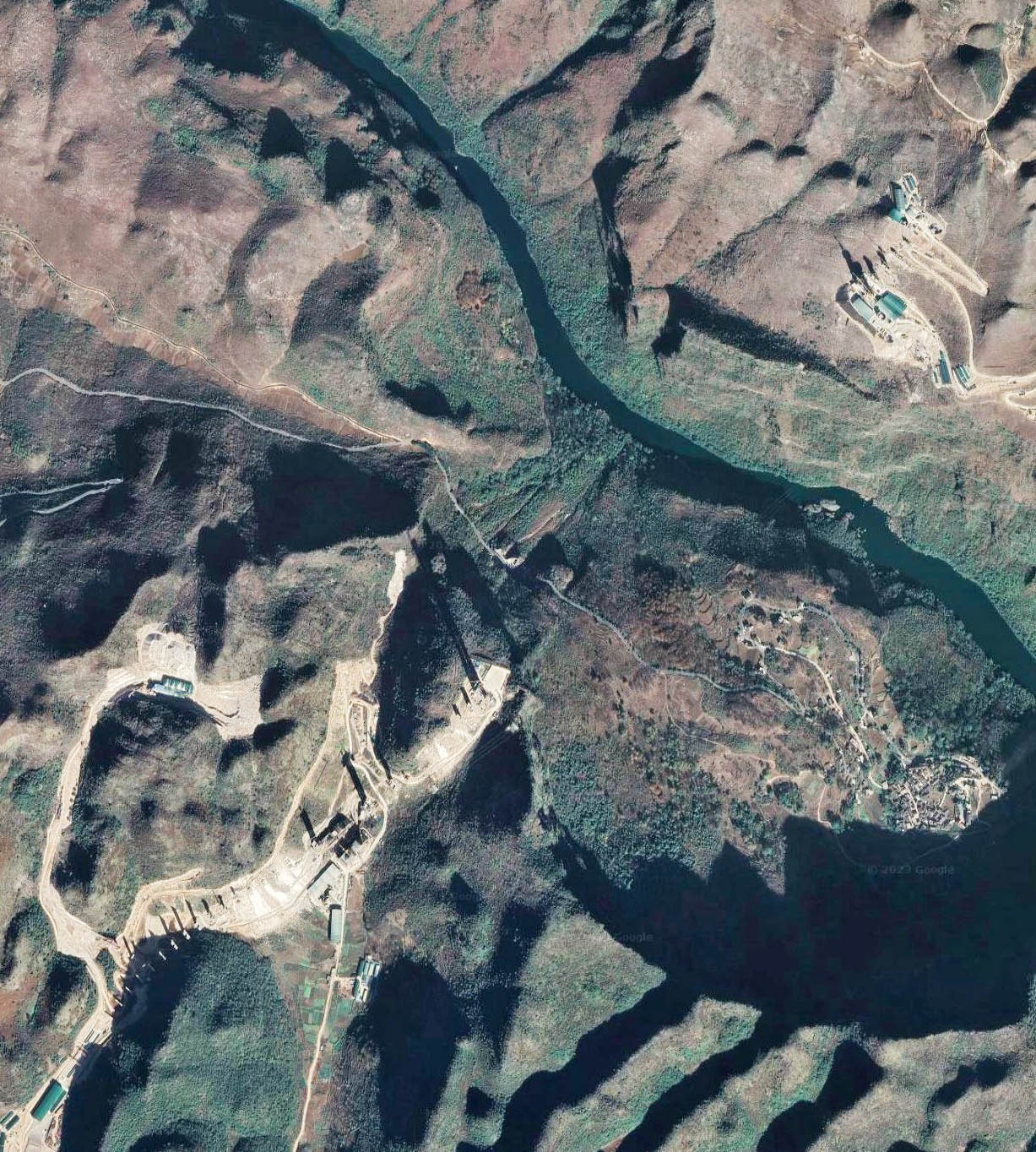
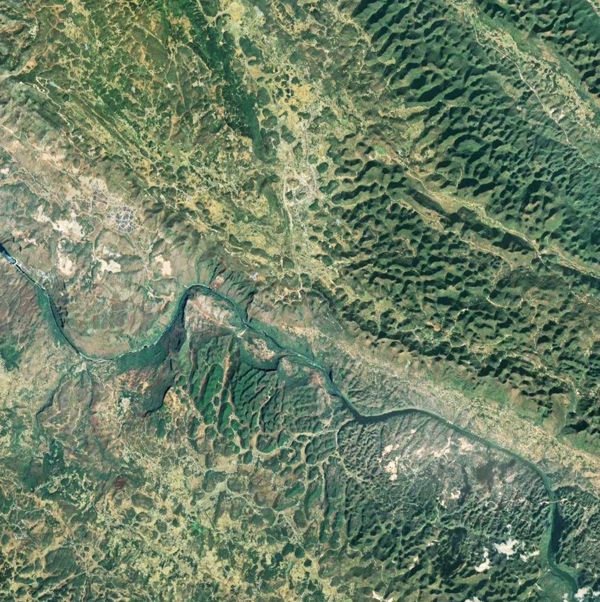
Huajiang Grand Canyon Bridge satellite image.
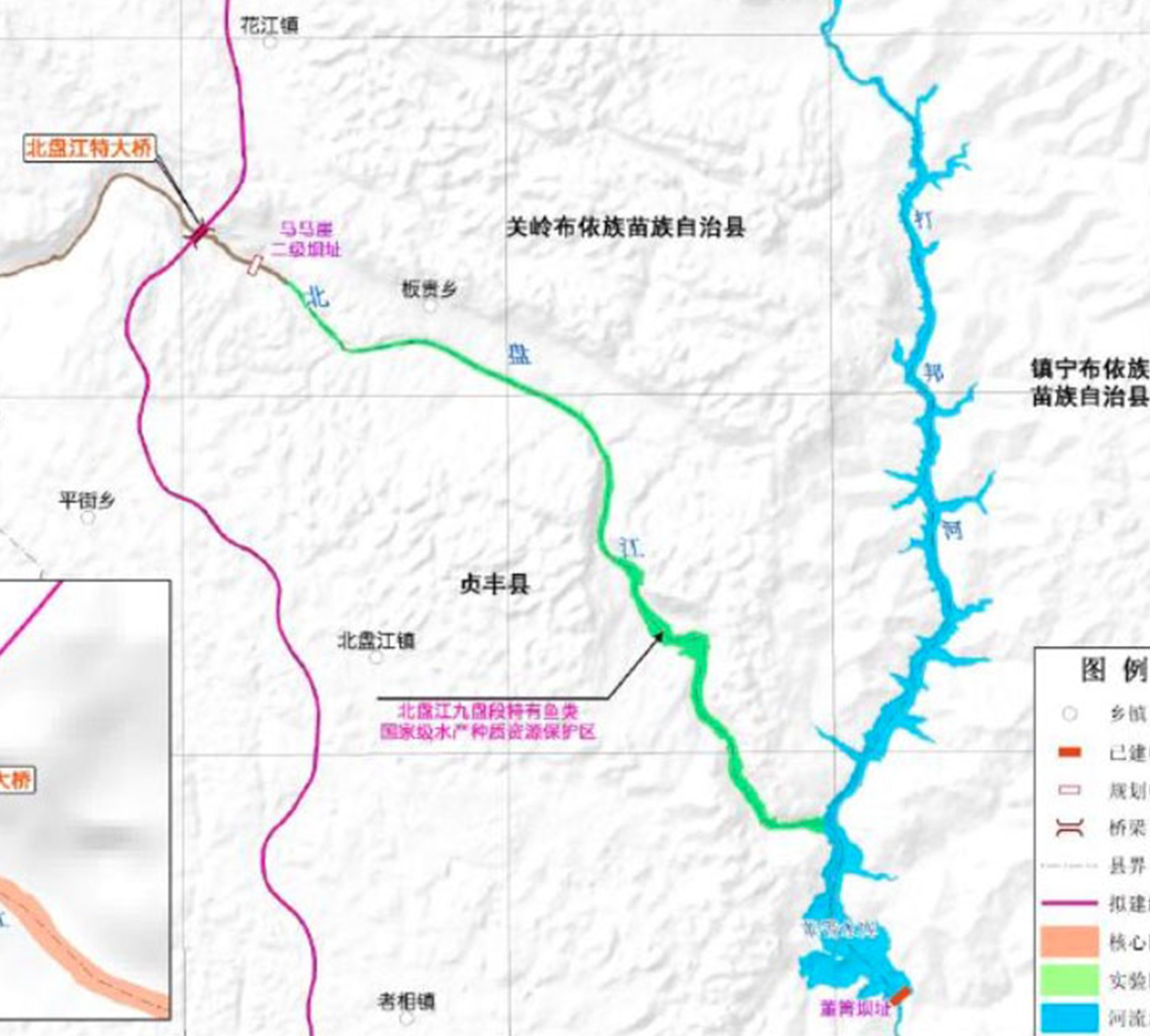
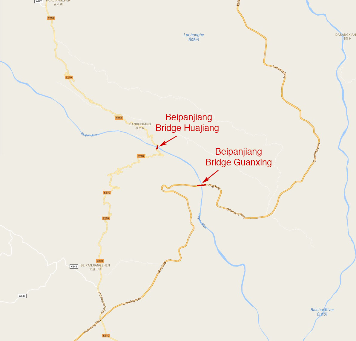
Huajiang Grand Canyon Bridge location map.
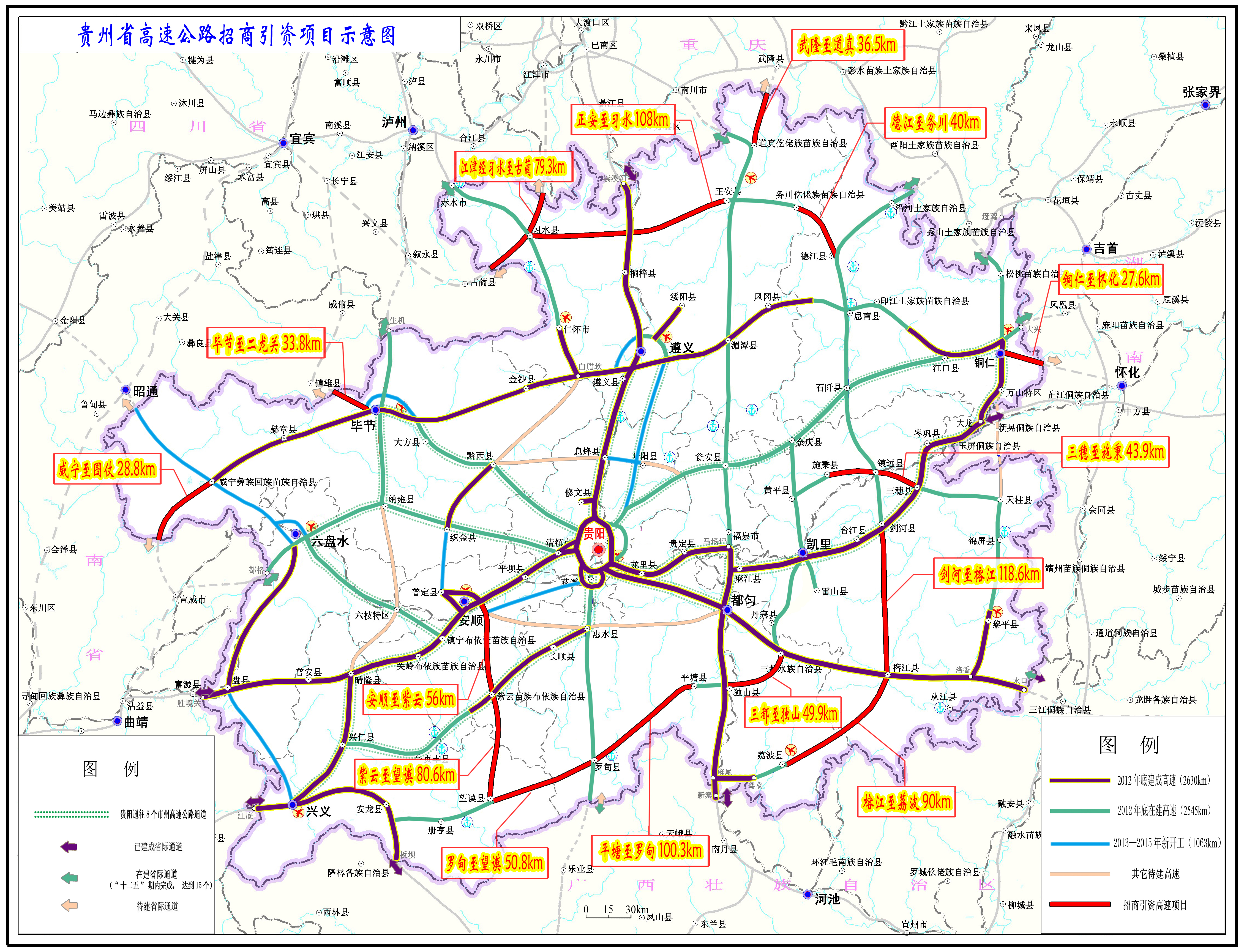
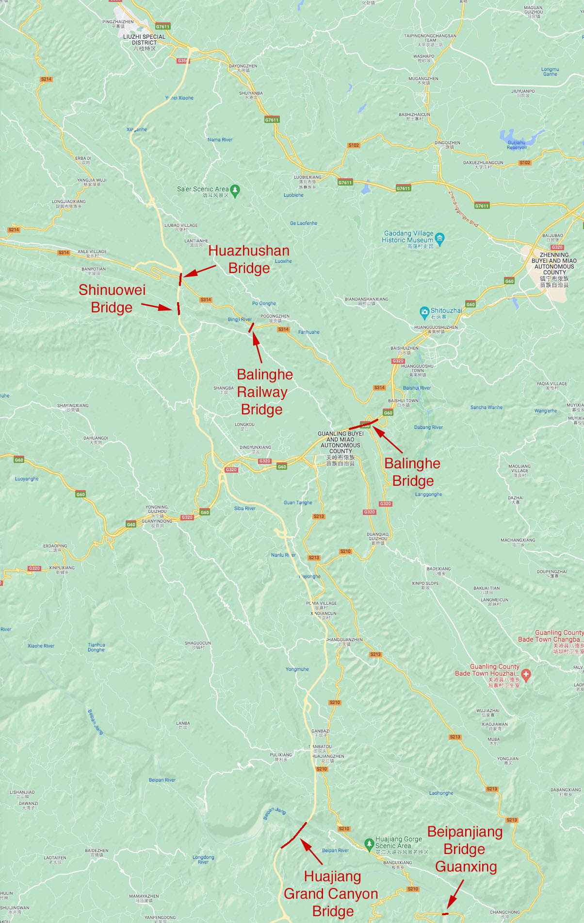
Liuan Expressway Map.
